Mount Price - April 10 2024
A fun ski objective above Garibaldi Lake with great views and a northern aspect for your solar-protected pleasure

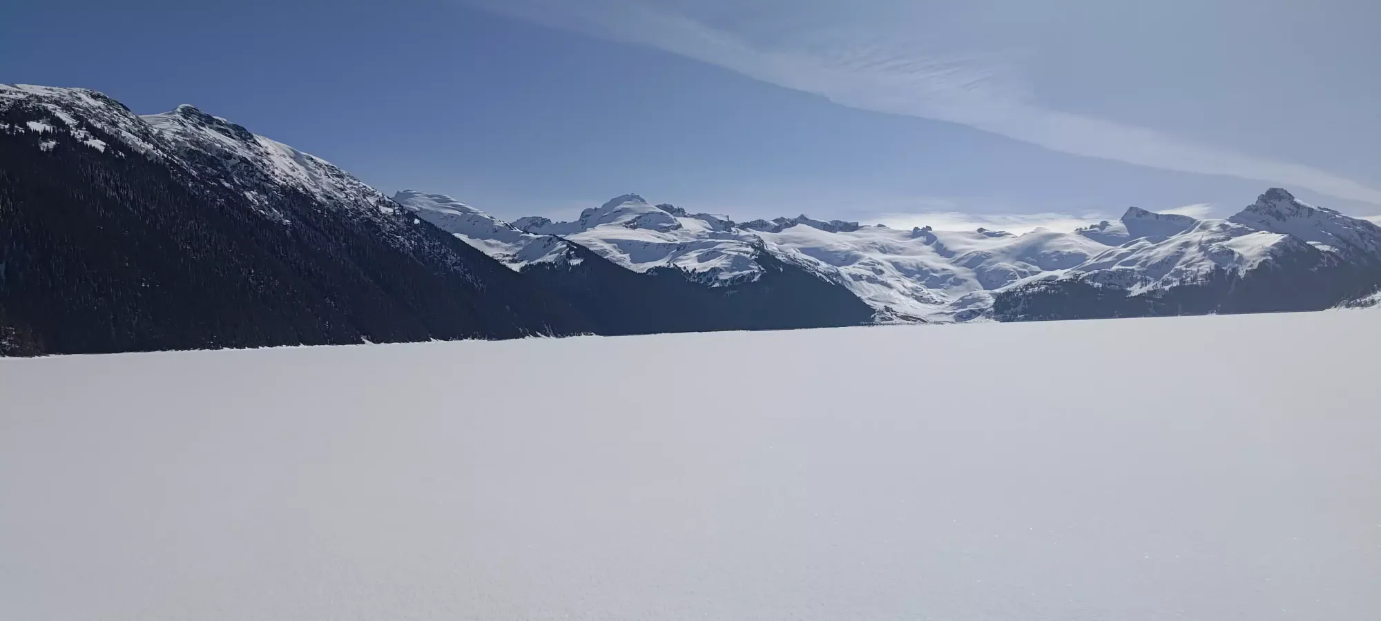
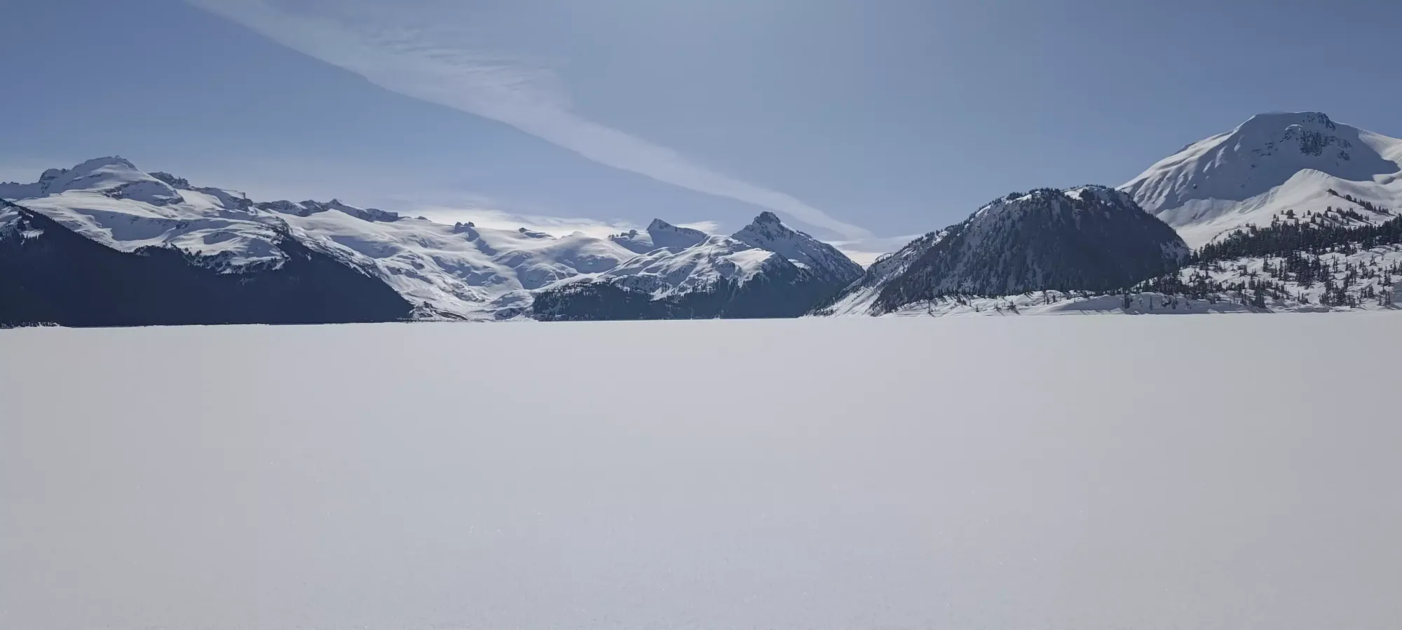
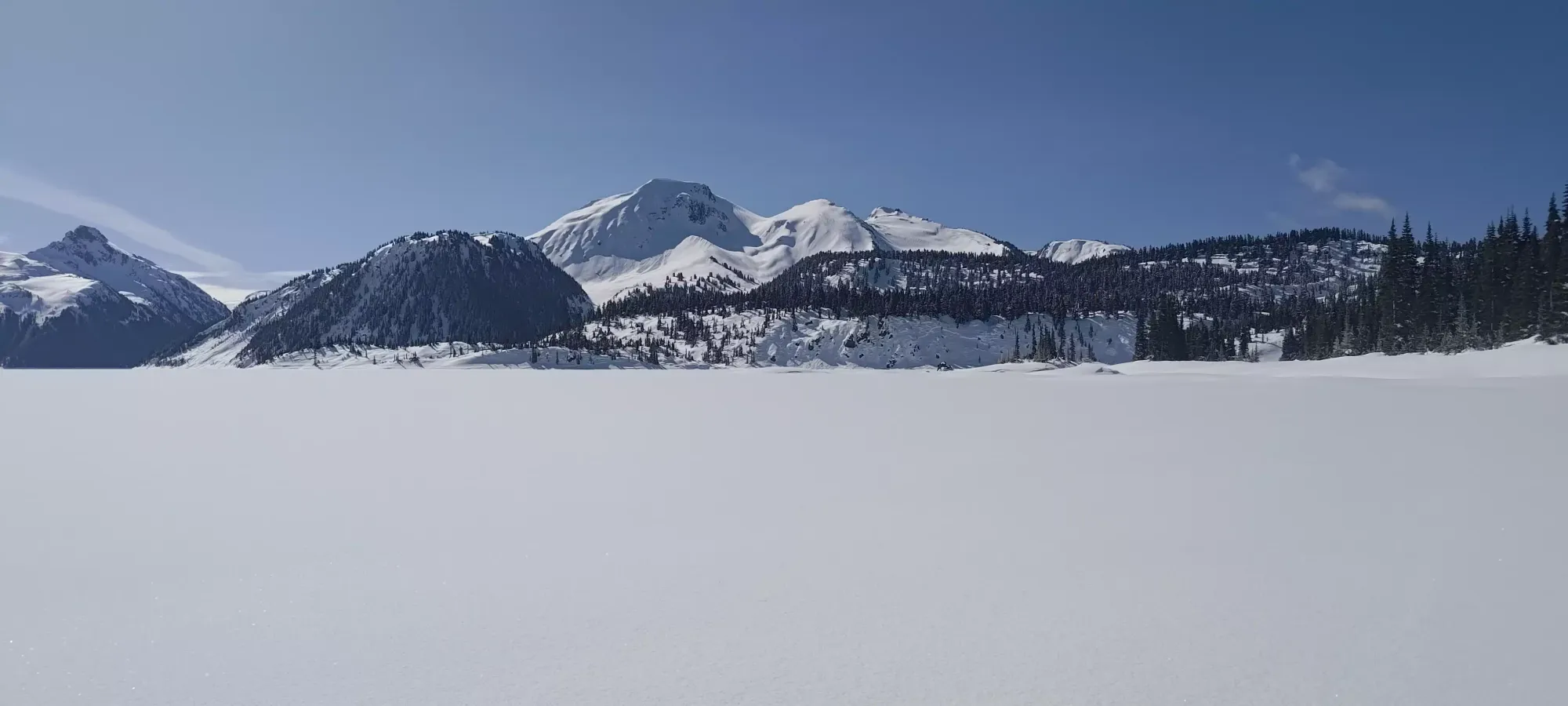
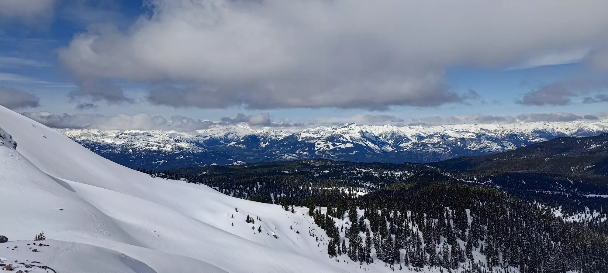
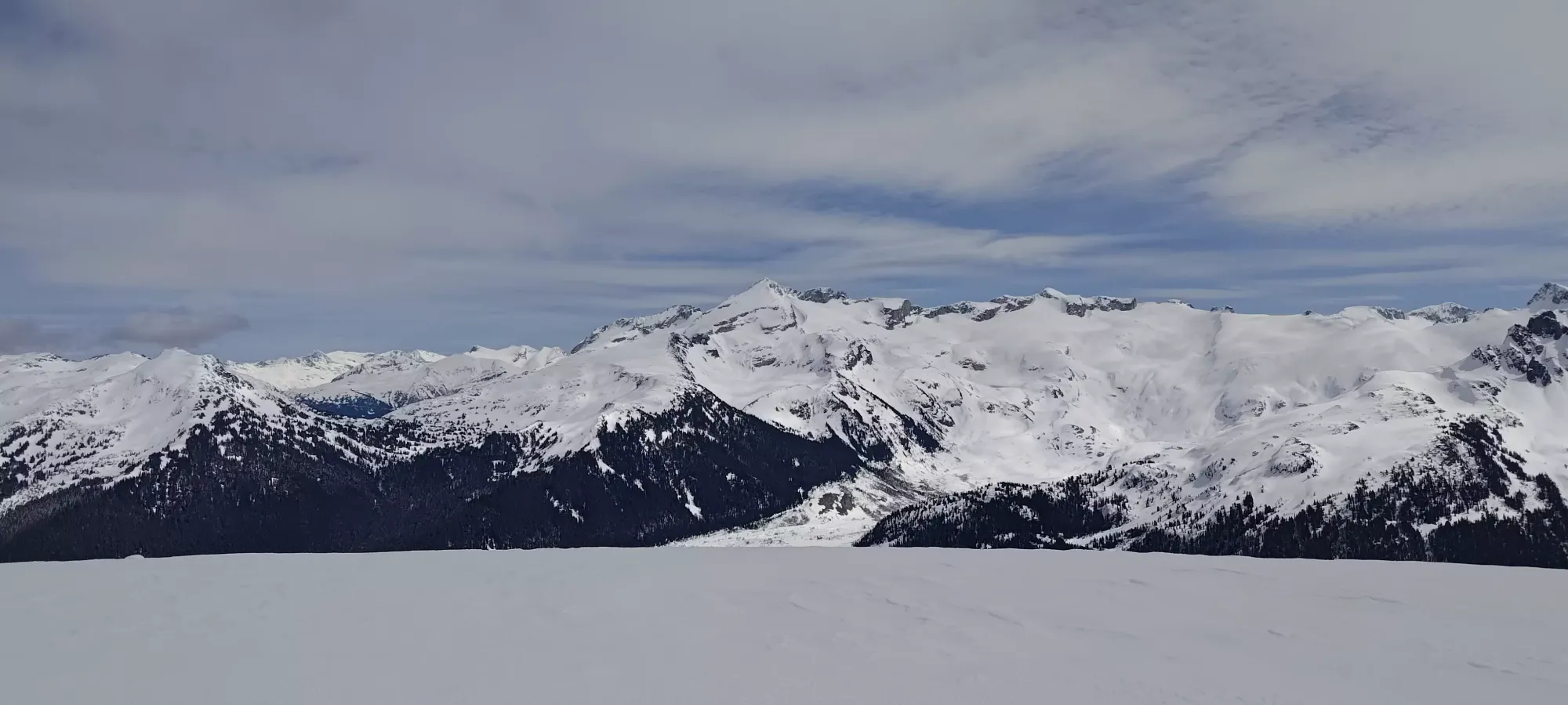
Garibaldi Névé, Squamish, British Columbia
2052m
Ah... Mount Price. This peak is a bit special to me, notably because I have failed to summit it an embarrassing multitude of times. The first time was actually one of my first trip reports (I'd like to think things have improved since then). The second was a week or two after that, where I learned from how tedious snowshoeing up was, and brought a new pair of backcountry skis instead! Unfortunately I'd made the rookie mistake of buying big, heavy boots and frame bindings so the weight (along with my unrefined skinning technique, I'm sure) slowed me down a ton, and once again, I could not summit. The last attempt before this one was a summer day when I was recovering from a sickness and decided I needed a workout. I only got a bit past the lake before feeling some serious dehydration, and for the third time, had to call it quits.
So, with a weather window this Wednesday, my on-call rotation at work having just ended, and a recent storm having dropped ~20cm of snow in the area, and temps being just cool enough that northern aspects were probably still good, I decided it was finally the time to get Mount Price for real.
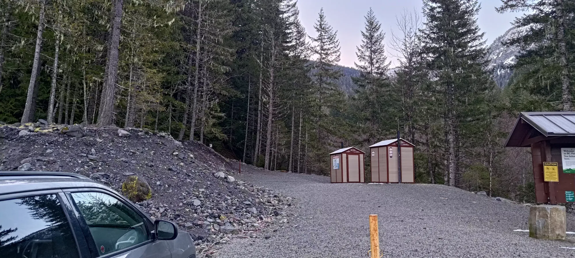
Sadly, my colitis is still not perfect, so I took longer getting ready in the morning than I'd hoped, and only got to the trailhead in time for a 7:30am start. I knew Monday/Tuesday's snow fell to valley bottom in Whistler, but barely, so I expected there to be some dry walking, but decided it wasn't enough to merit anything more than just my daily walking shoes, so I just decided to put my skis+boots on my bag, and walk up in those until it was skinnable, or deep enough that ski boots would be worth putting on instead. The loafers worked all the way to the summit of San Antonio a week ago, so hey, why not be comfortable and avoid having to change shoes, amirite?
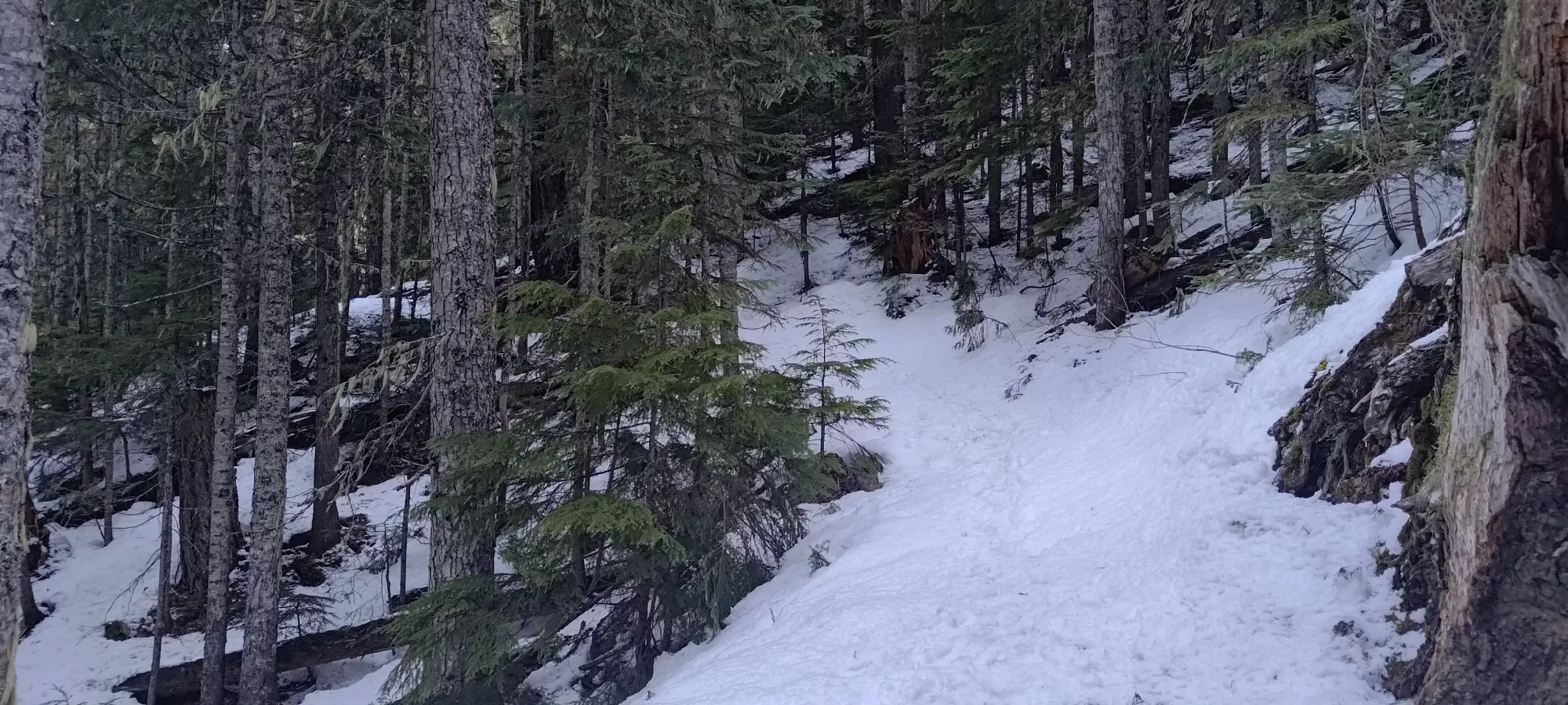
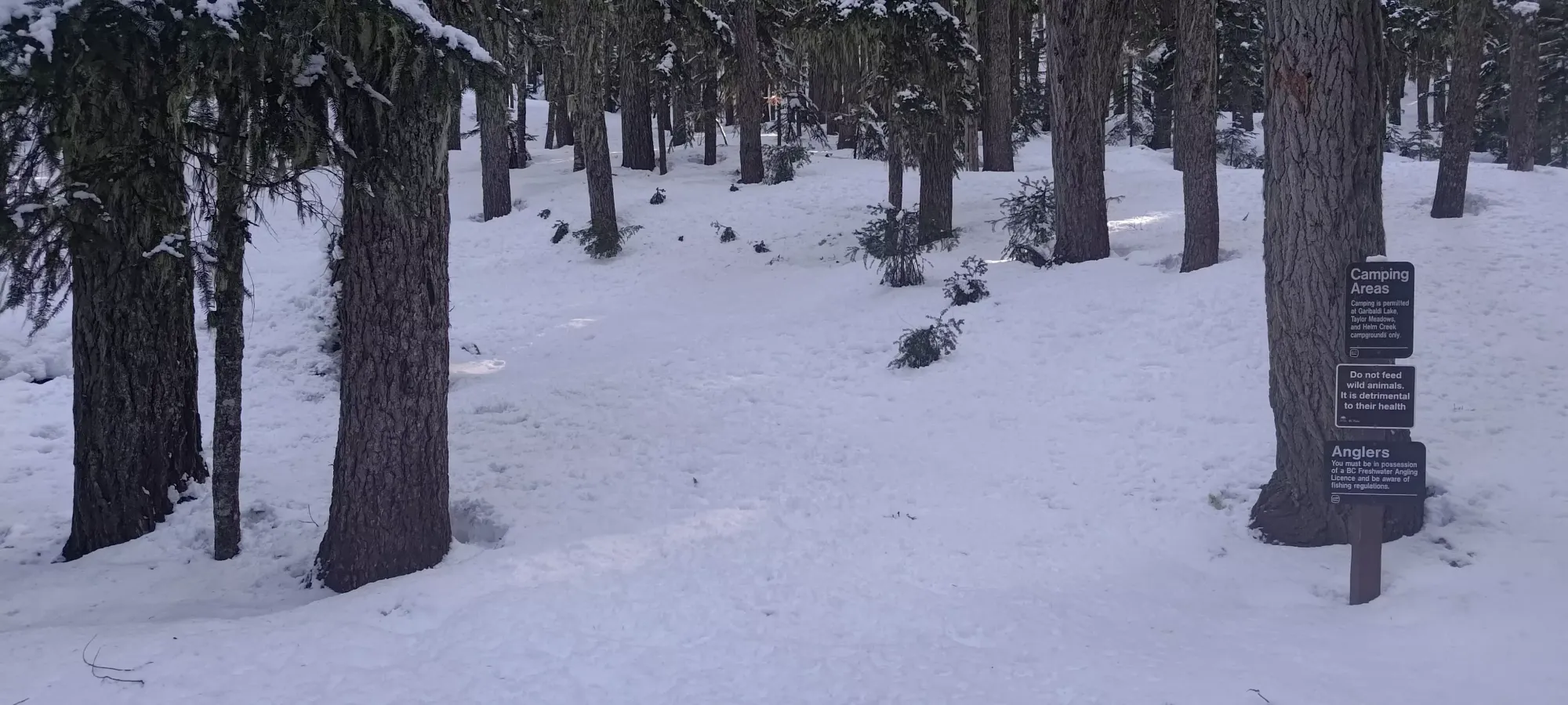
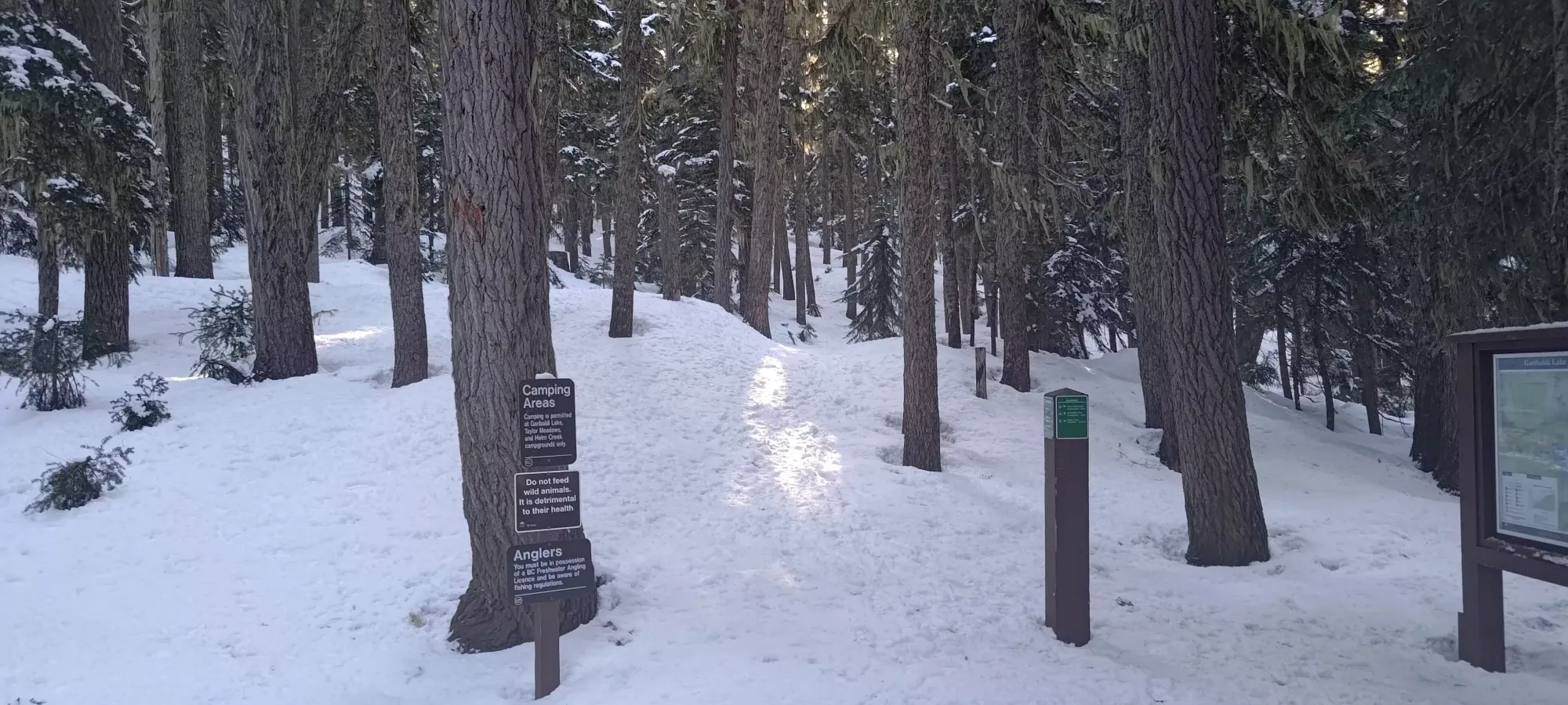
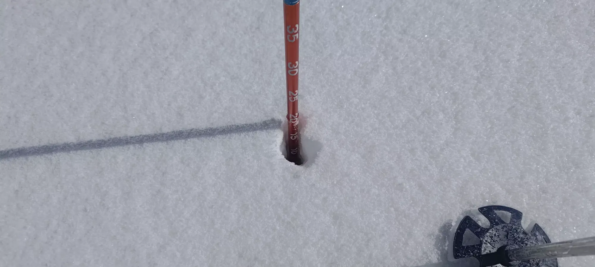
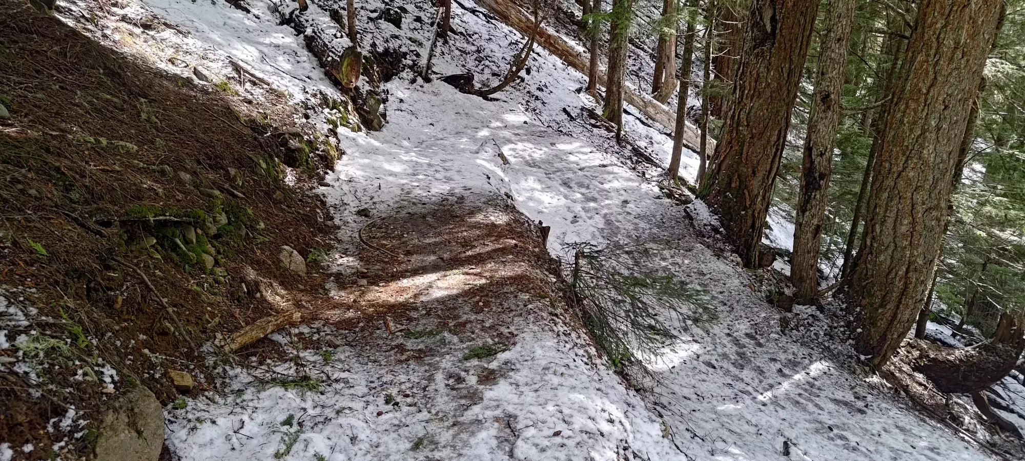
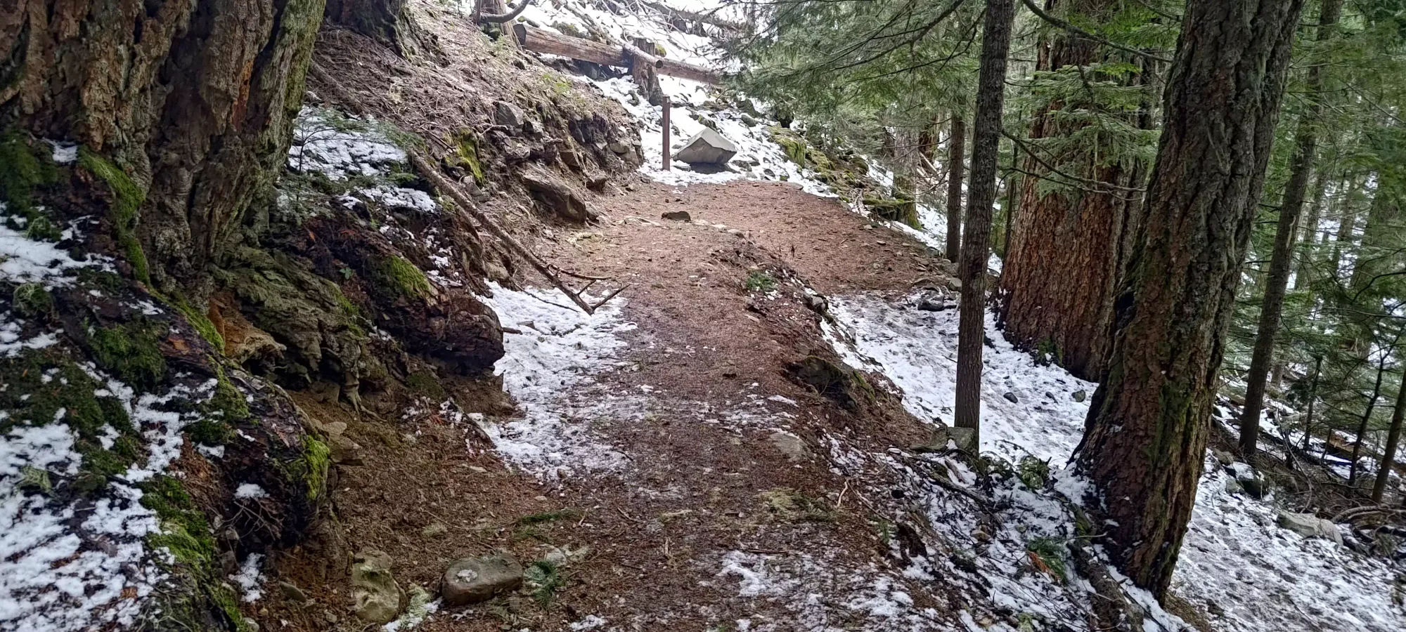
This is such a well-documented trail (to the lake) that I won't bother describing it other than as "a well-made, low-grade trail that takes about 9km to gain about 900m of elevation". I walked up the first 2.5km to the first switchback without encountering more than a smattering of snow near the end. Past that point, snow patches steadily increased in frequency and depth, though it wasn't until about 4-5km in that things became consistently snow. The picture below was taken at about 1150m, about 4.5km into the trail. The snow was still fairly thin, but just enough to skin if you really wanted to. Since there was such a solid boot trail set, though, I just kept walking up. I did pass one woman from Bellingham in this section who was heading up for Panorama Ridge. I didn't see her or her downtrack for the rest of the day, though, so hopefully that went well.
The next benchmark was about 6.5km in, where the trail splits off to Taylor Meadows, or to Garibaldi Lake, just below 1400m in elevation. I got here in about 100 minutes from the trailhead, so still making decent time for hauling skis on my back. There was no track set up to Taylor Meadows at all, but the lake still had a nice path for me to follow, conveniently.
Despite being under 100m of elevation below Garibaldi Lake, there are actually still 2.5-3km left on the trail to the lake, as it contours around Barrier Lake, Lesser Garibaldi Lake, and Rubble Creek, undulating a good amount before dropping onto Garibaldi Lake itself. One can often skin across Barrier Lake and shortcut onto the trail past the Lesser Lake, or even follow the creek directly in the right snowpack up to Garibaldi Lake. However, since I was solo, this snow year was so pitiful, and it was a sunny spring day, I decided not to f**k around and find out, and just followed the tedious way around, since nobody else had bothered to demonstrate the viability of the shortcut for me. This ended up inflating the time to the lake up to just over 2.5 hours.
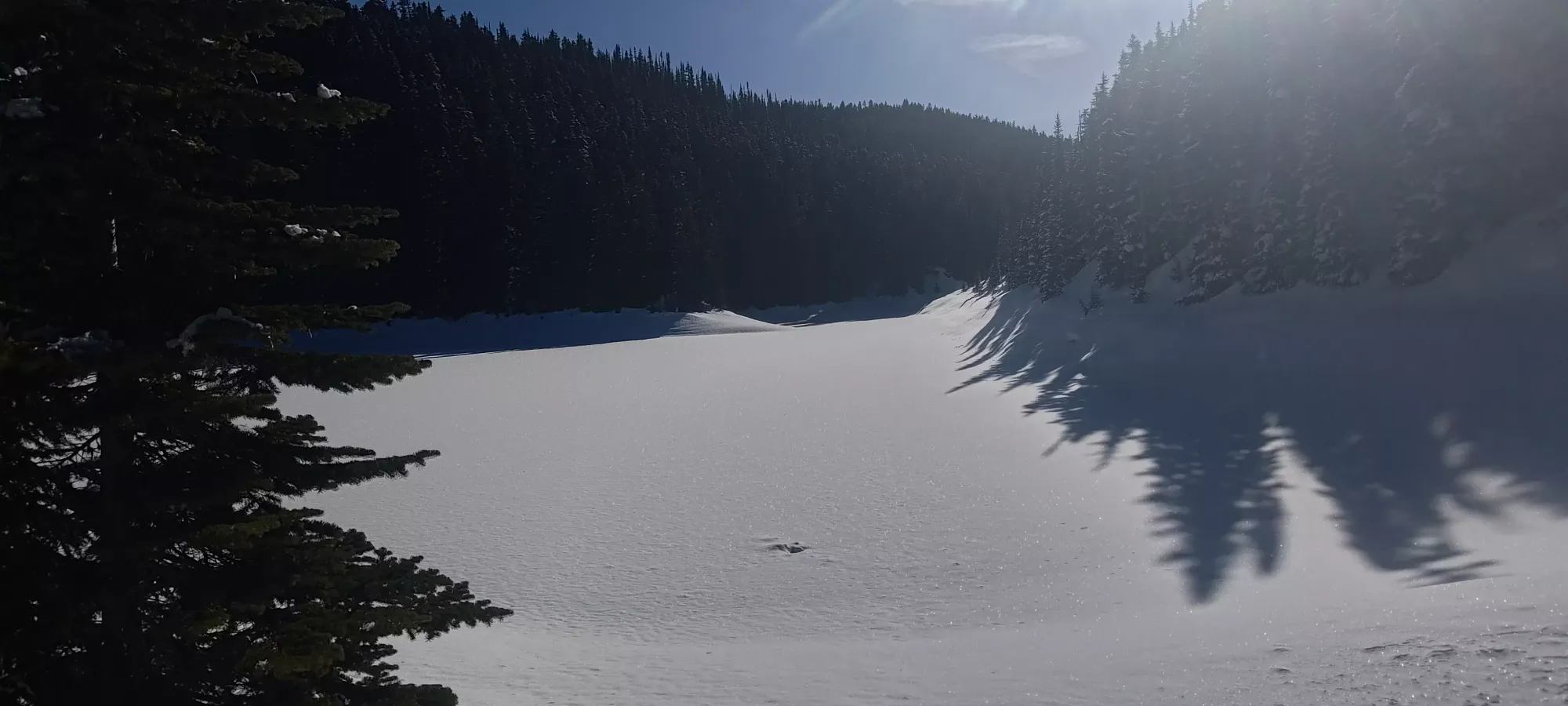
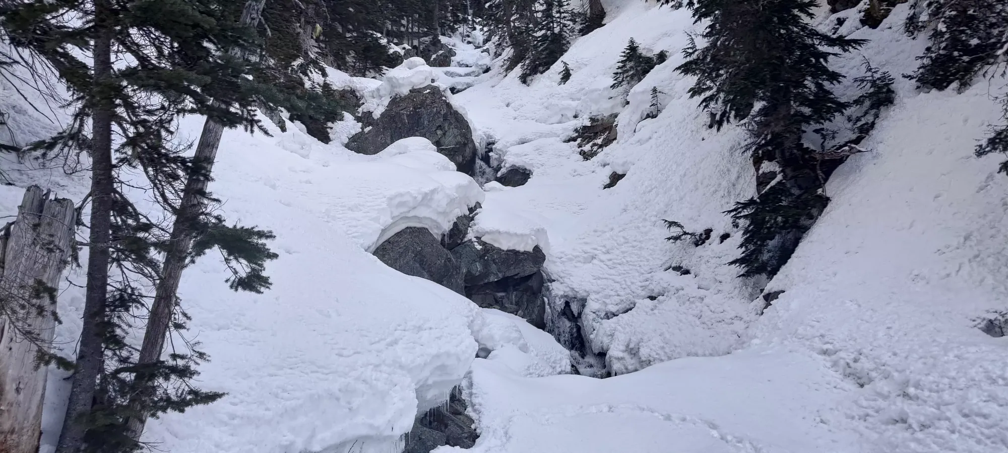
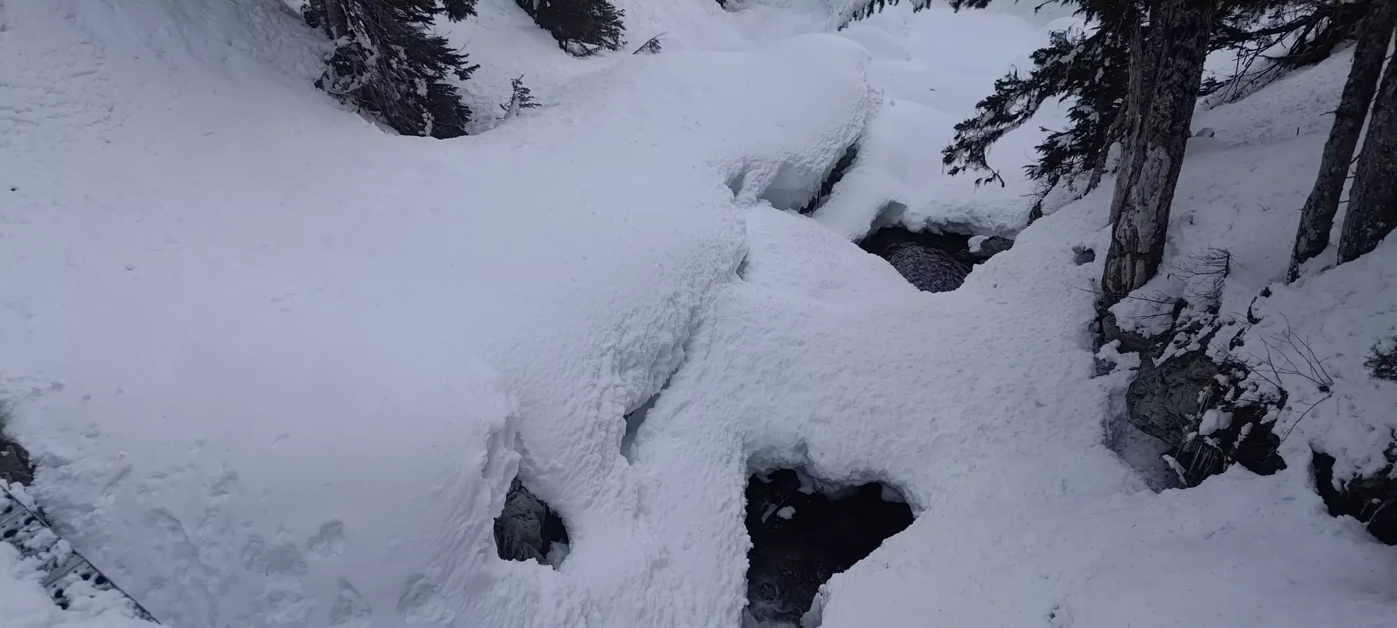
It is still spring, though, and creeks were running strong even above 1400m elevation
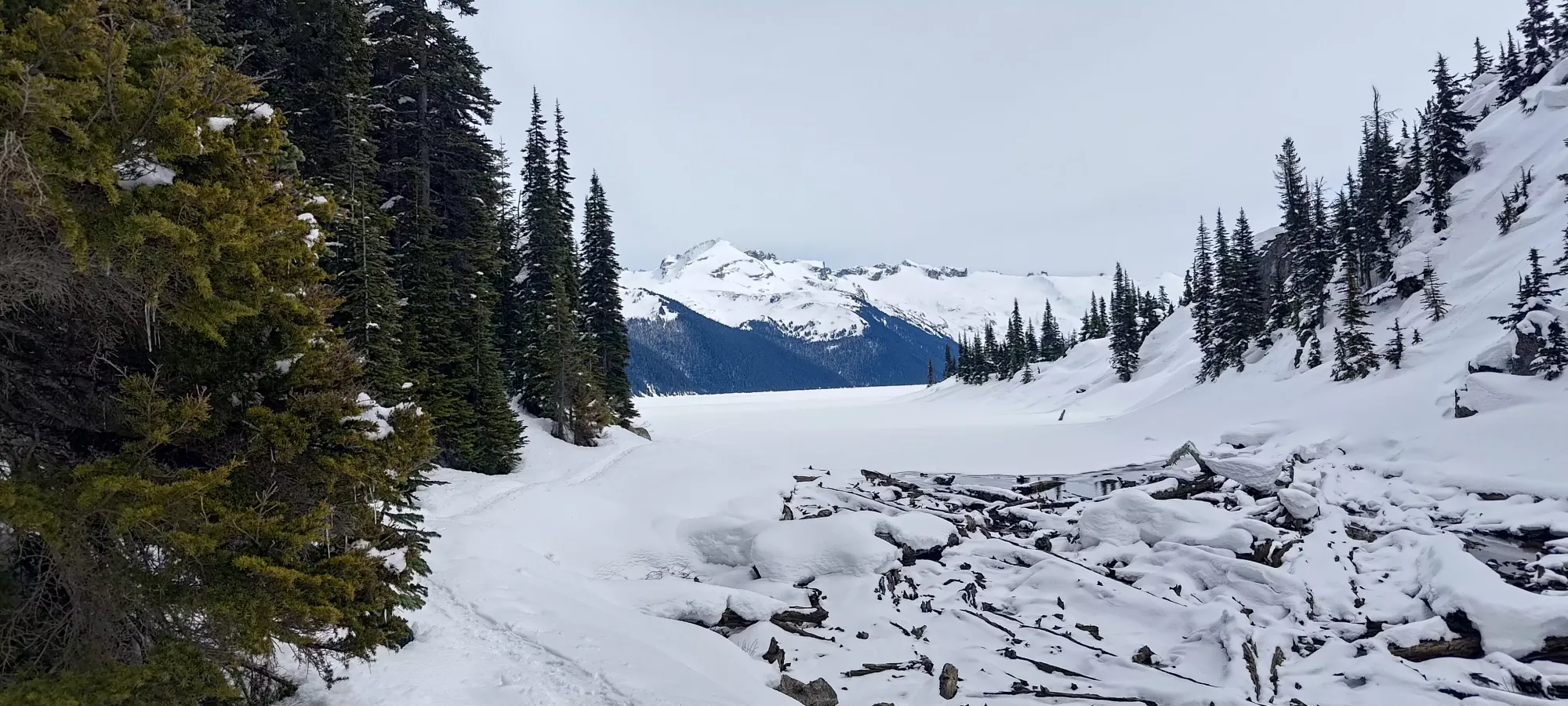
Once I got to the lake, the tracks stopped quite abruptly. So, I took the chance to stash my shoes off to the side of the trail, take a couple pictures, and get my ski boots on, and prepare to skin across the lake, overall taking about 15 minutes of incidental rest in the process.
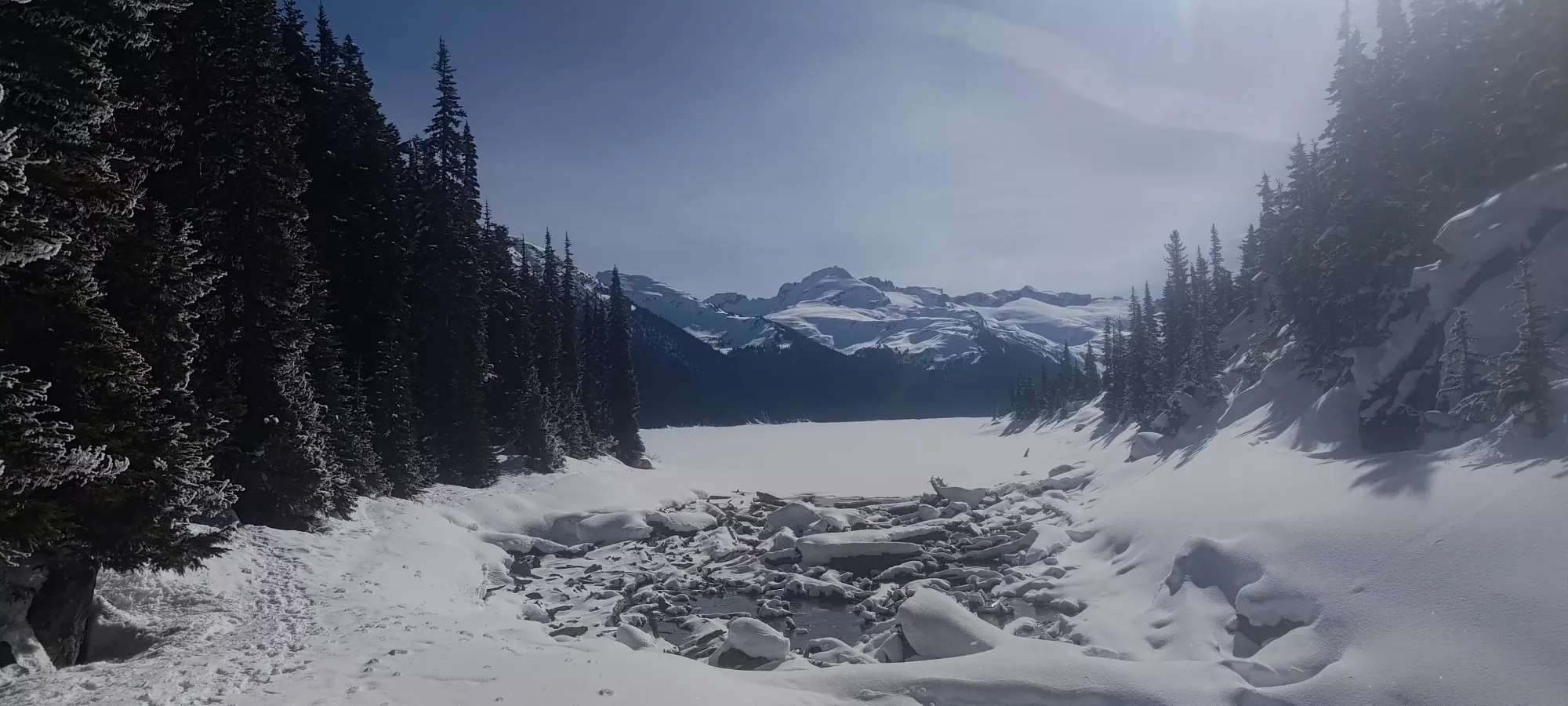

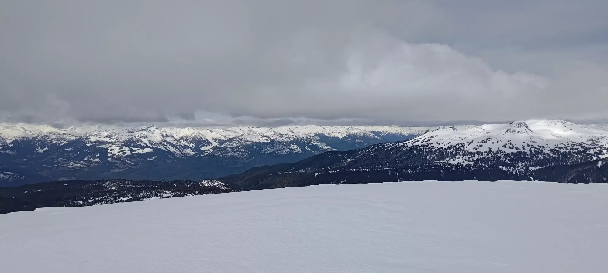
Crossing the lake was a pretty simple process. I took about 40 minutes to cover the 2.5km, mostly slowed down by a few stops to probe the snow/ice and confirm the safety (I was making new tracks after the last snowfall), and to confirm my navigation, since I hadn't actually downloaded any routes, but was going off memory given how many times I'd been up already. Namely, it is tempting to exit the lake to your right early, as it looks like there's a shallow route up, and beyond it would take you up towards a small bump just north of Price, but you actually should contour around, and another inlet will appear which provides the most direct access to Mount Price.
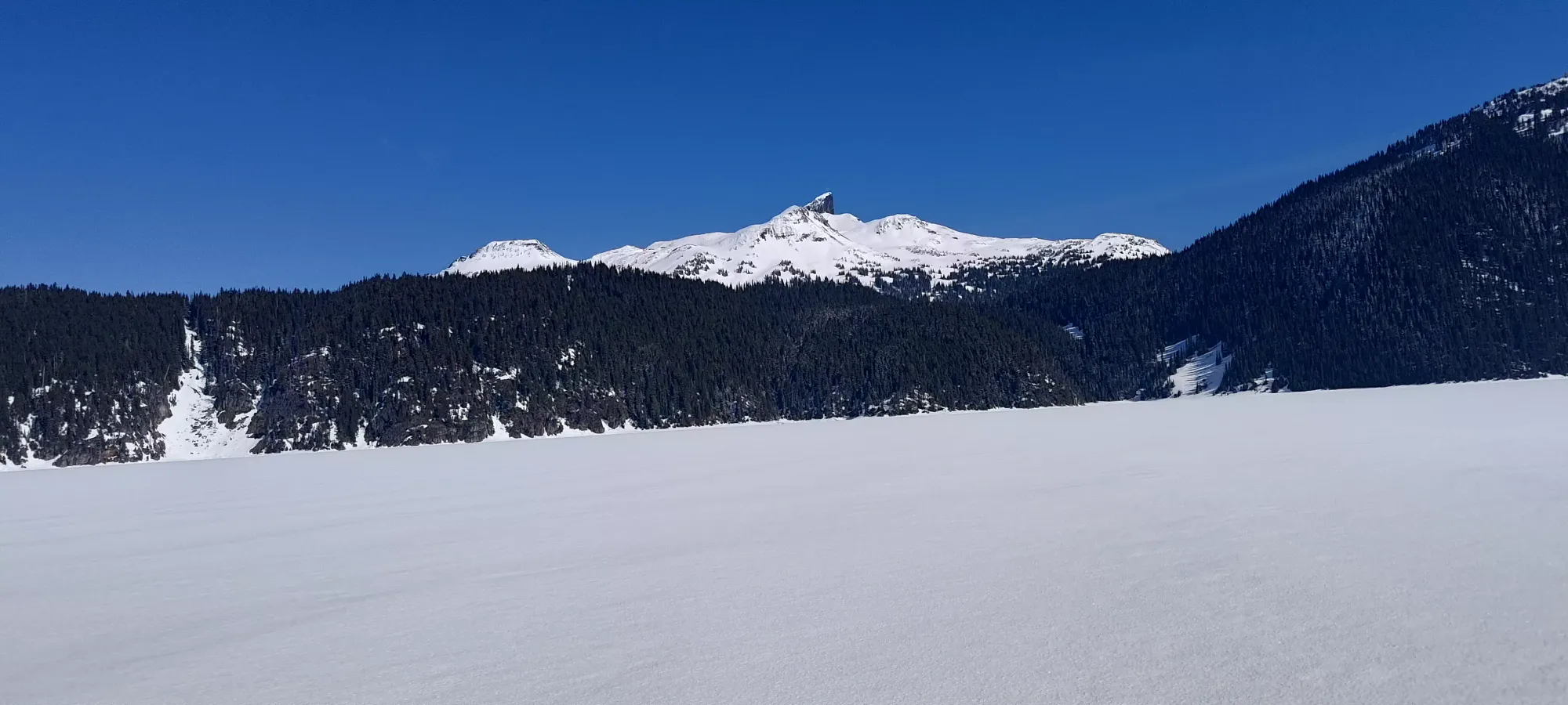
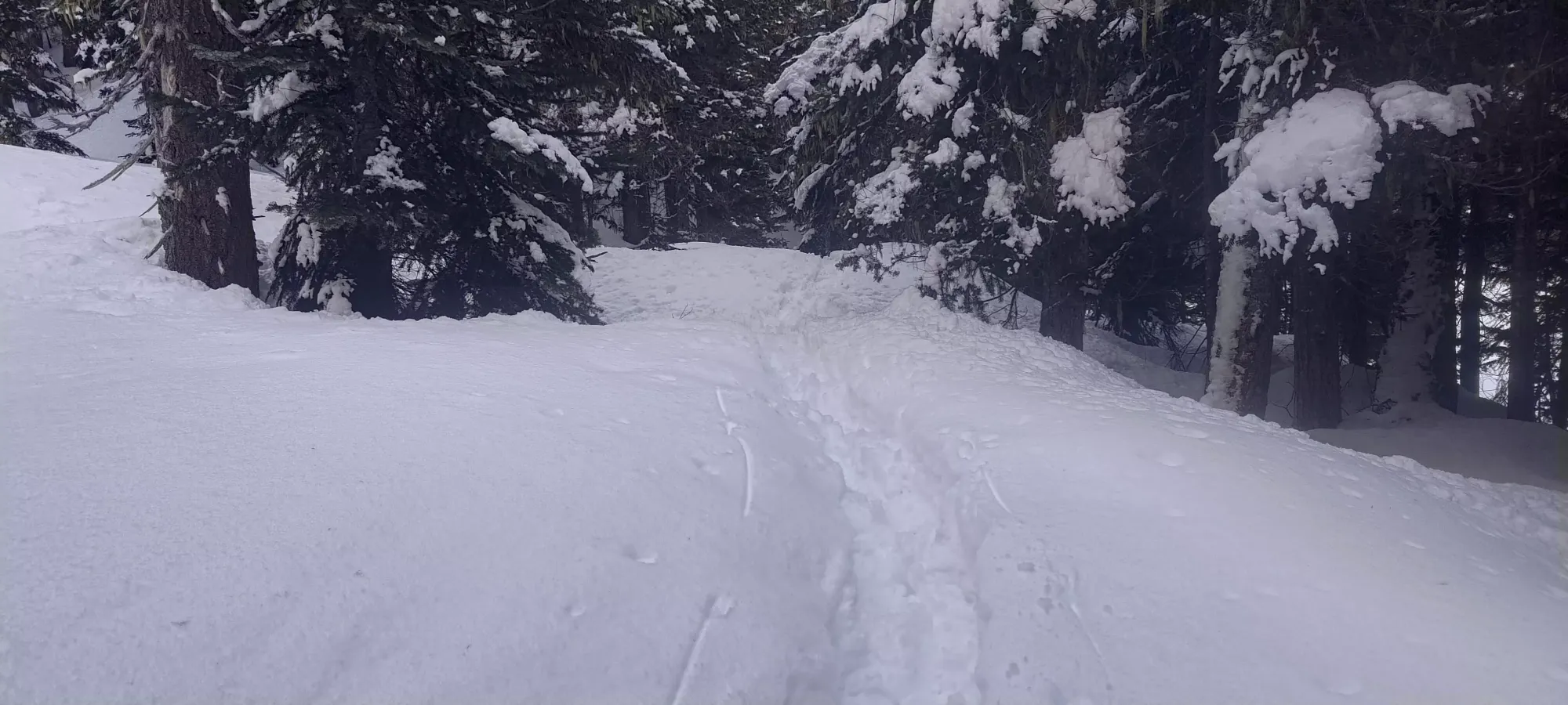
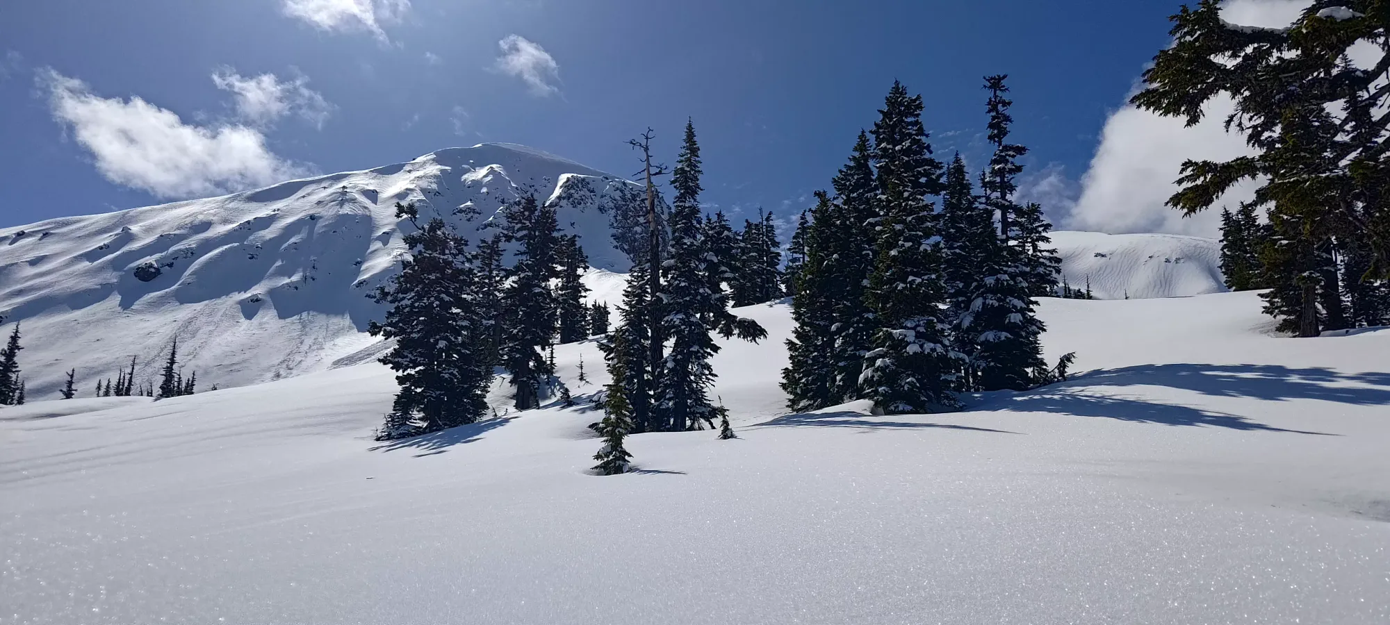
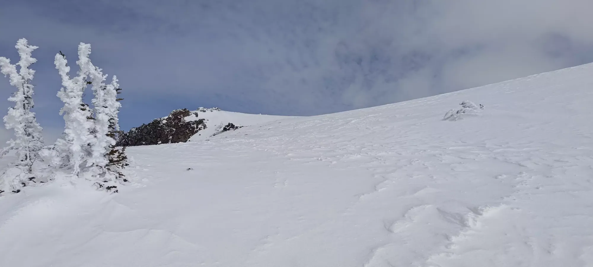
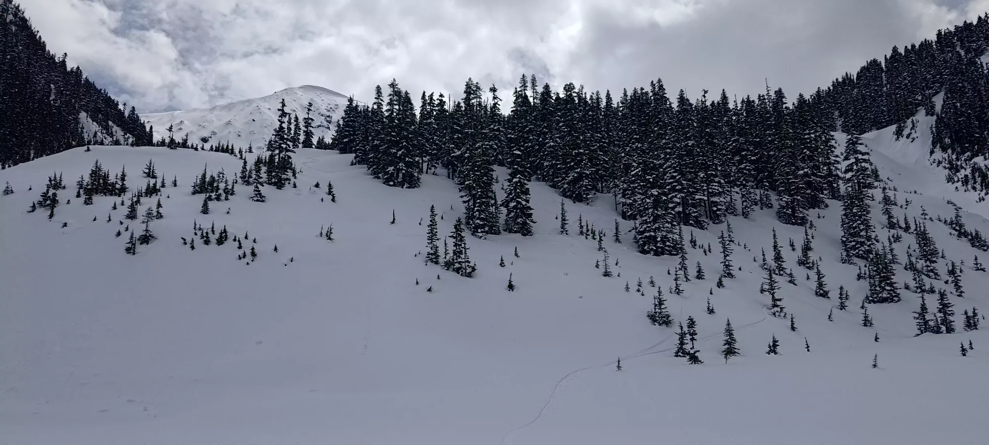
Once I got to the lake's edge, I had to decide on where to go. The right gully looked too narrow and steep, the forest on that side similarly seemed somewhat dense and unappealing, plus I didn't want to wander in/out of shade in case that introduced glopping. The left gully looked doable, but with a steeper start, so I'd have to cut over. So, I aimed for the centre-left, with the option to stay in the forest or enter the gully as terrain dictated. As I got right up to it, I noticed the faintest hint of an old skin track, and decided to let that make decisions for me when I didn't have a strong opinion, which simplified things.
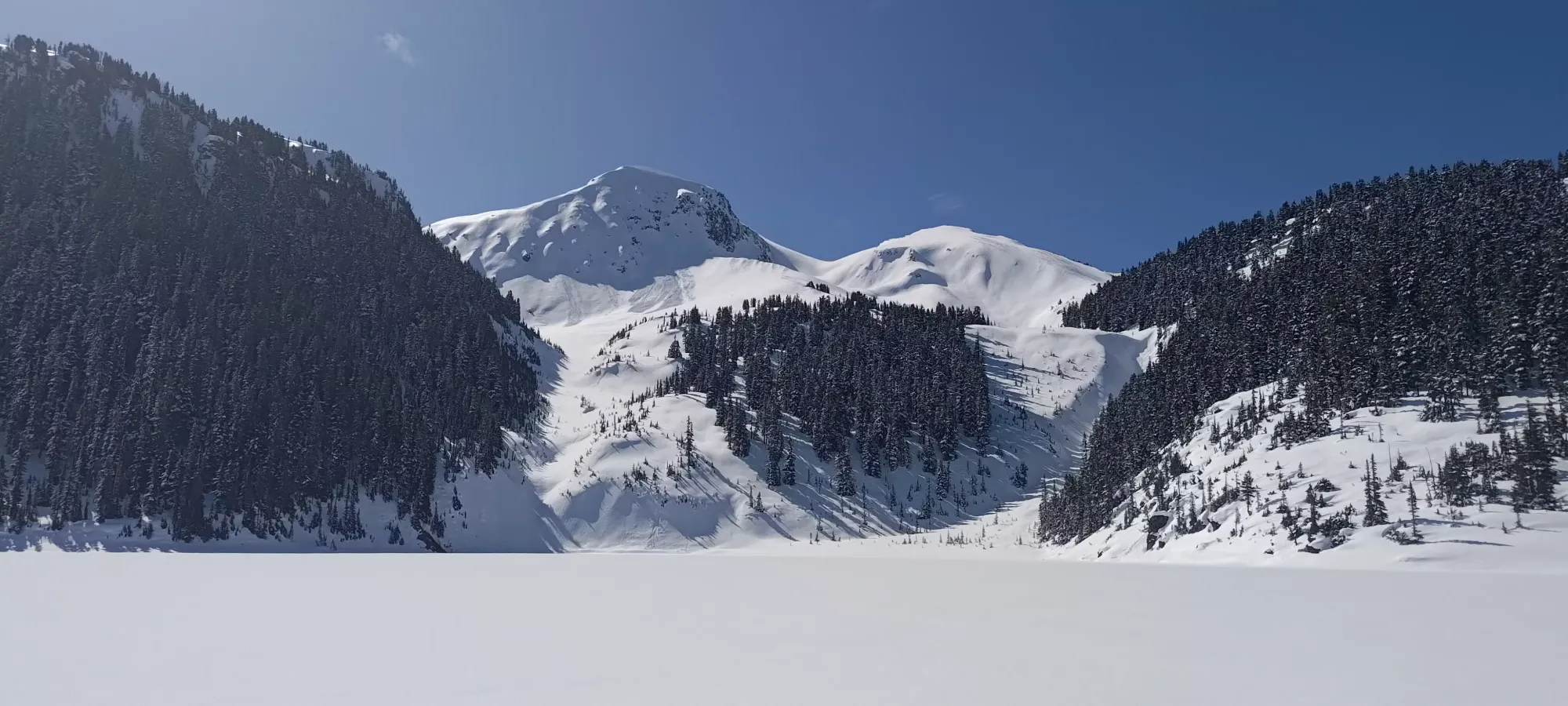
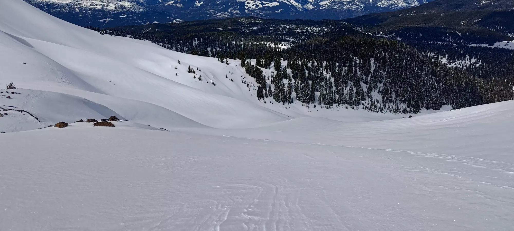
Despite the existence of that faint skin track, the trail-breaking was pretty intense, as it had been snowed over just as much as everything else, and ski penetration was about 15-20cm, the full depth of the recent snowfall. On the plus side, it was pretty light and dry still, so at least that effort would be rewarded on the way down, as long as I didn't take too long and let the spring sun introduce too much moisture. The terrain, aside from a steep start right above the shores, was pretty amenable to both skinning and skiing, with lots of room to cut switchbacks in steeper spots, and nicely spaced trees for some fun skiing on the way out. I previously noted how good this terrain would be for skiing, and it was what motivated me to get into touring in the first place, so it was exciting to explore more great terrain, and in good snow!
At about 4 hours in, or about half an hour after starting the climb above the lake, I had gained about 150m, and was exiting treeline and heading into the alpine. I did also slow down a bit here, feeling my lack of water+food, but since I still hadn't been feeling great digestively, I decided to wait and push up into the alpine before taking a real break.
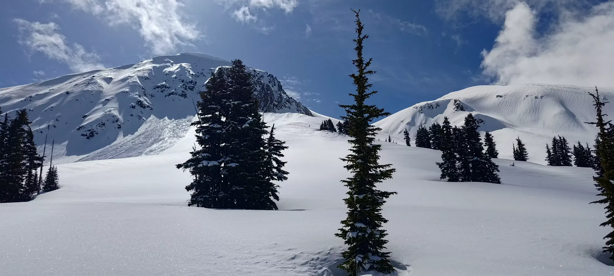
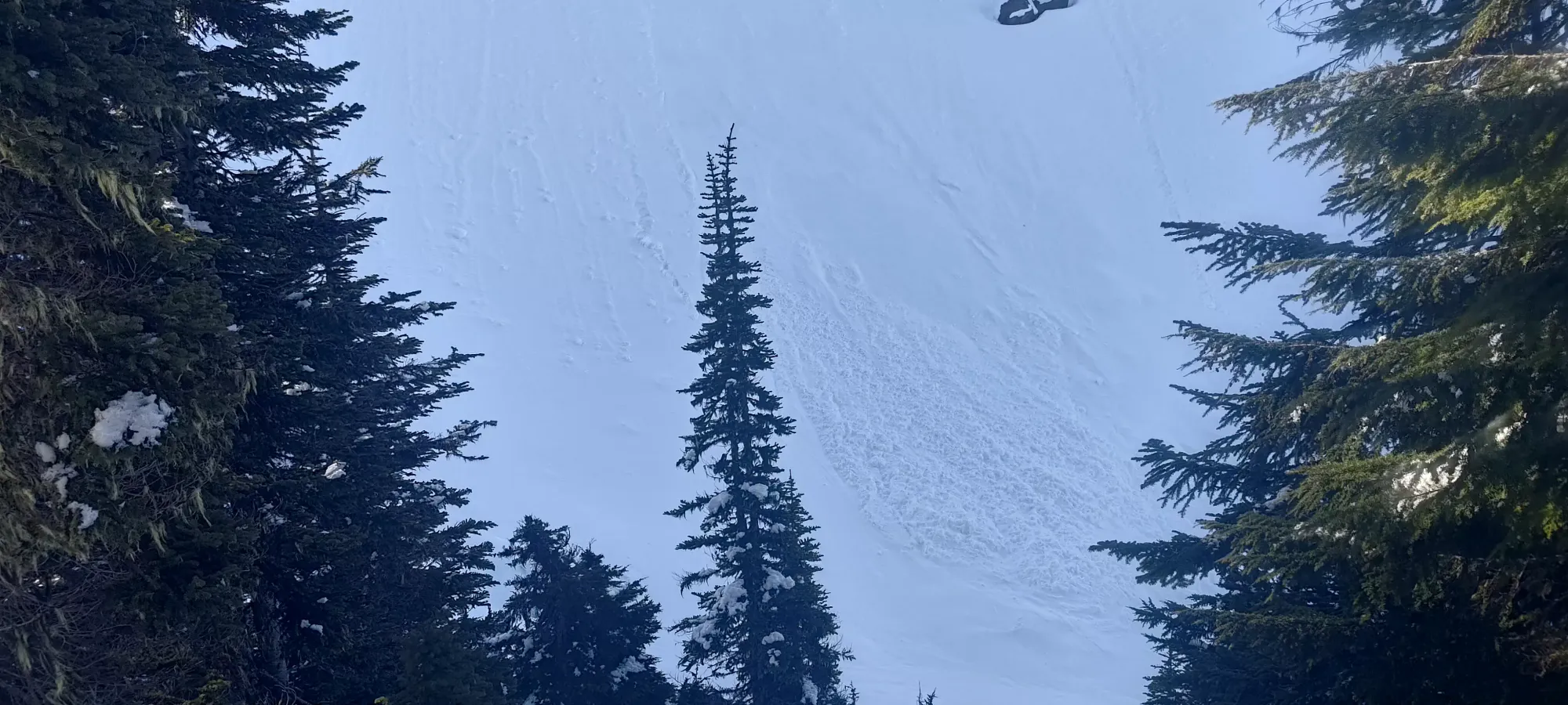
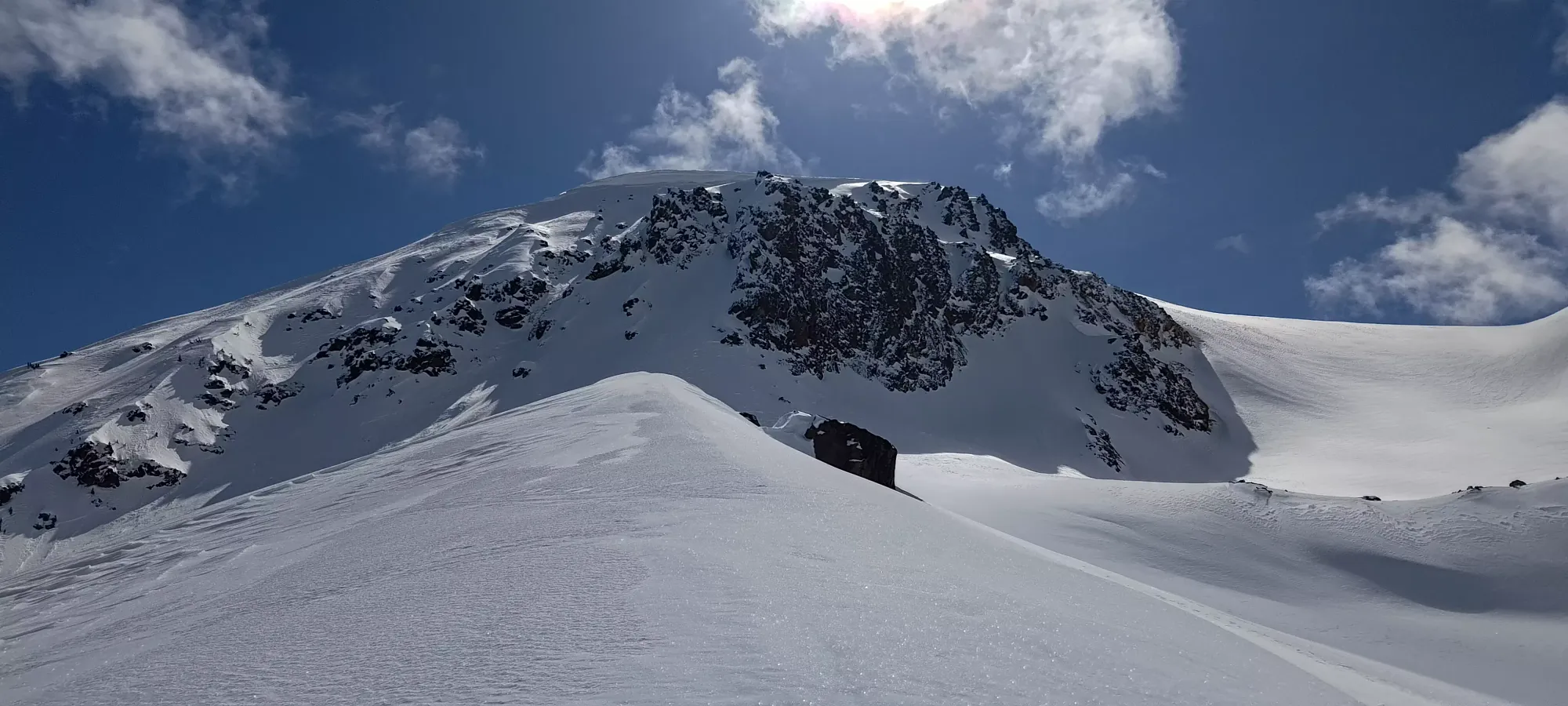
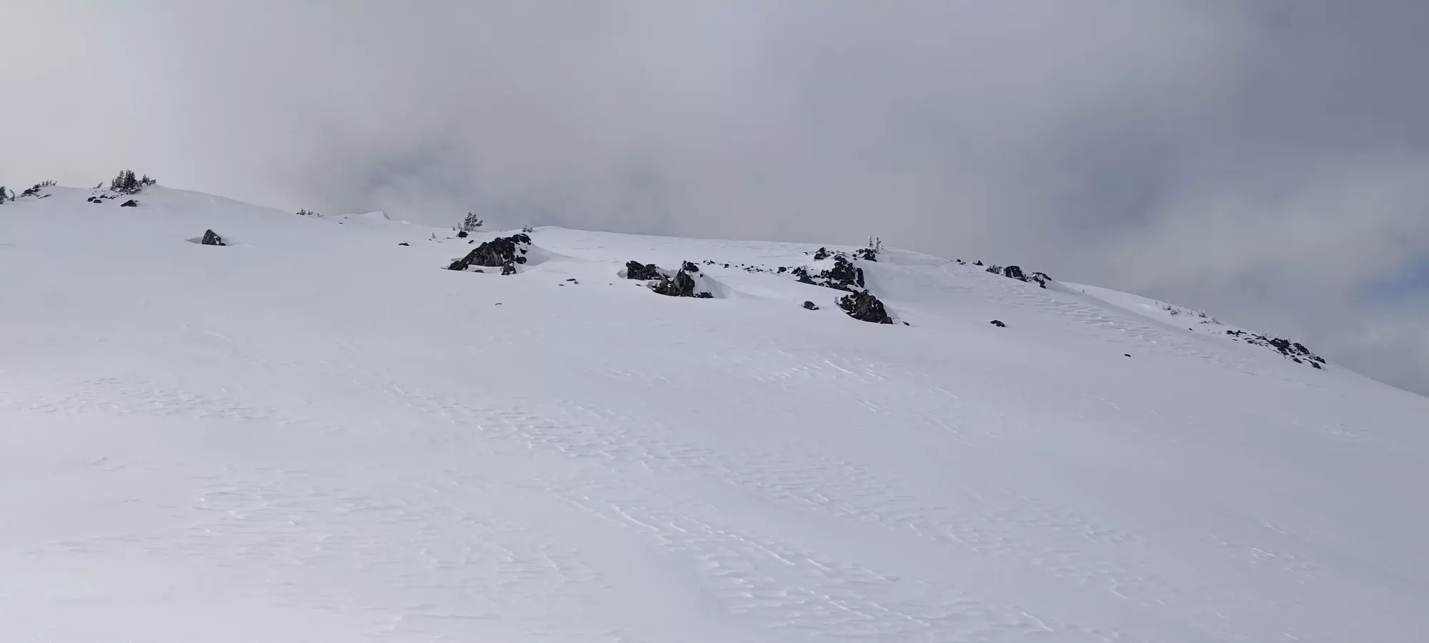
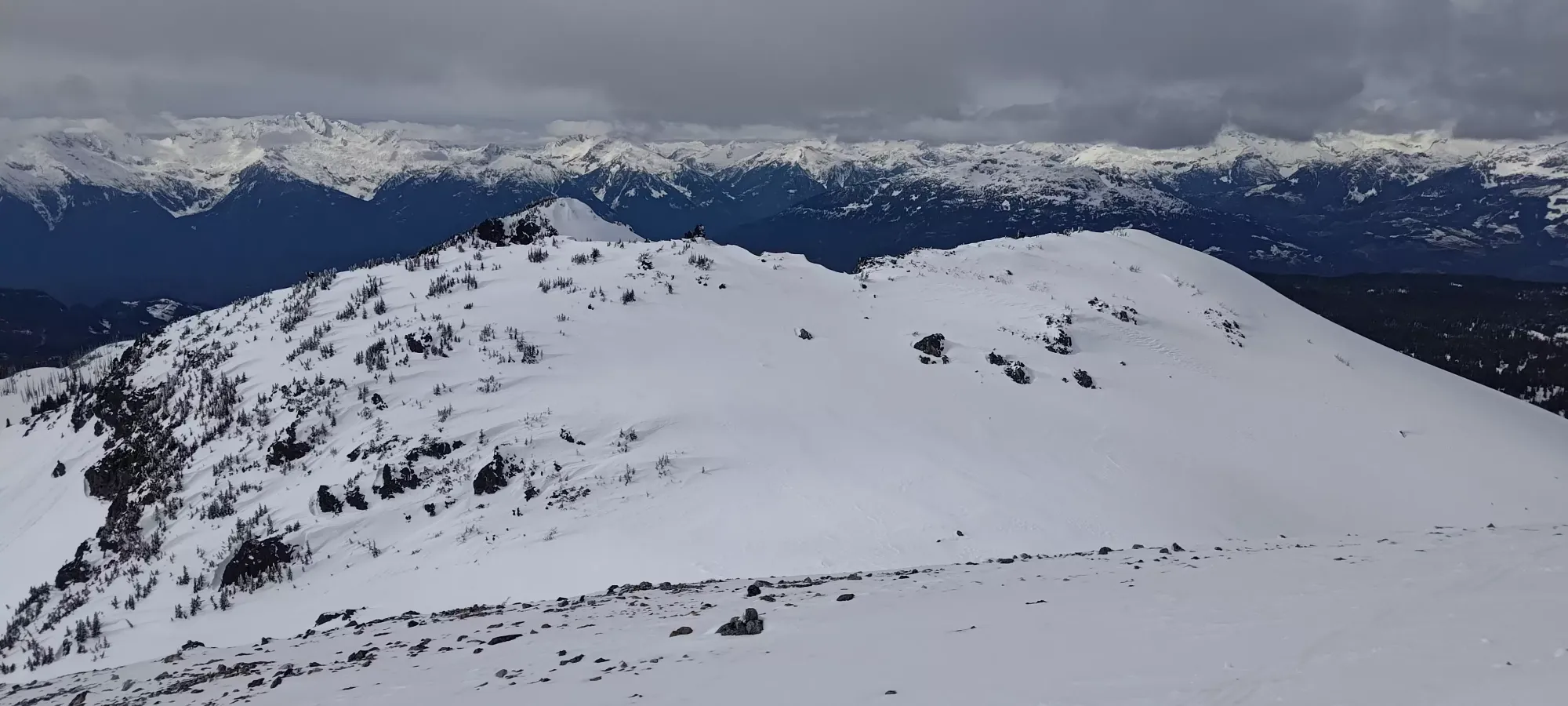
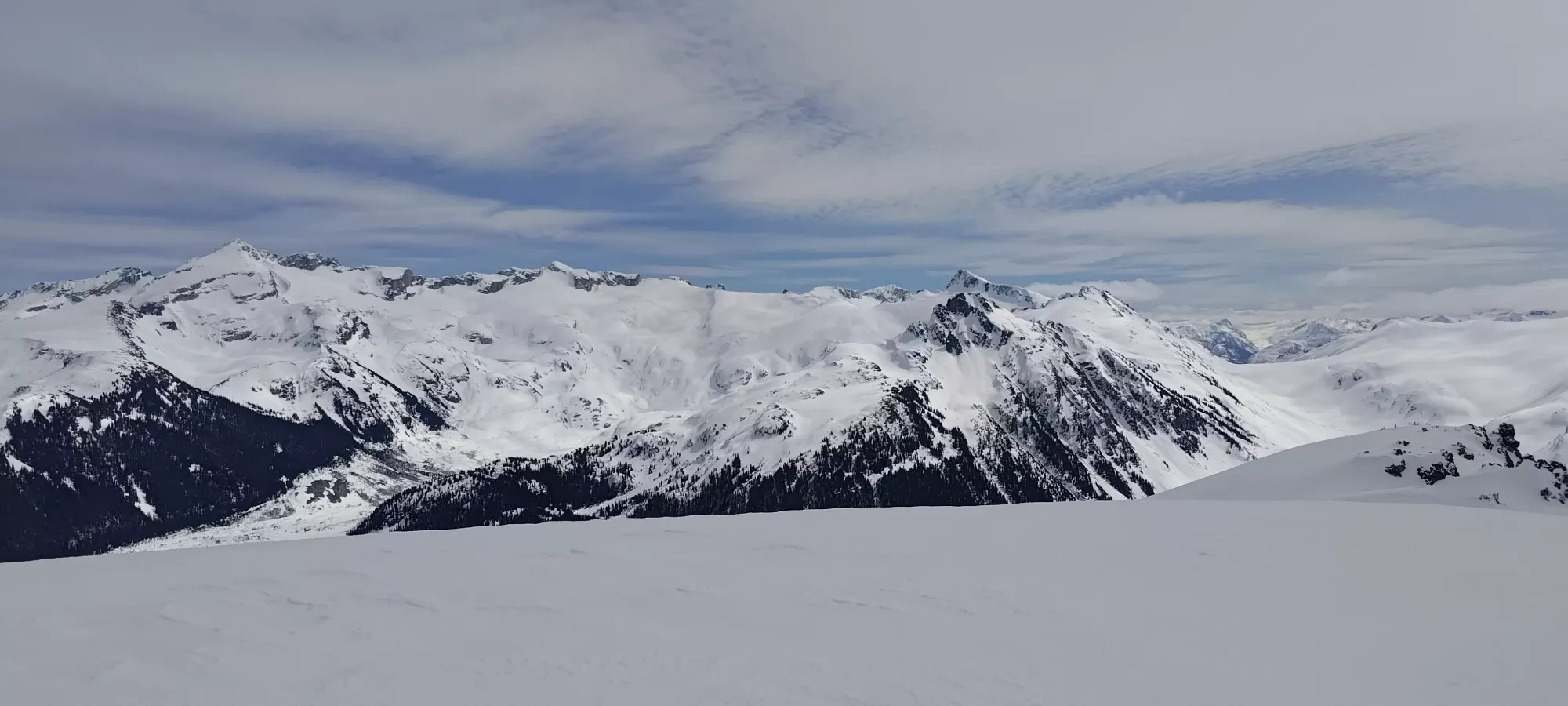
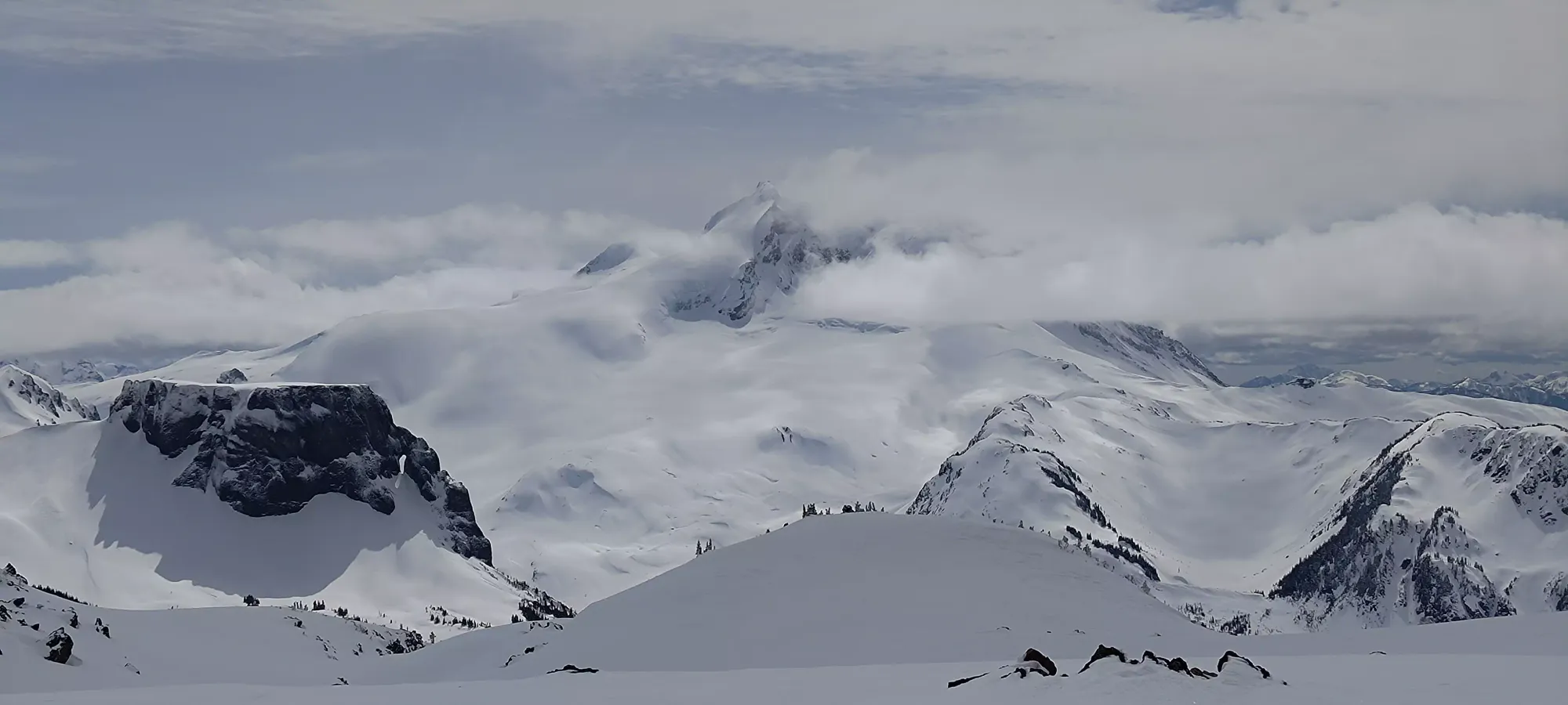
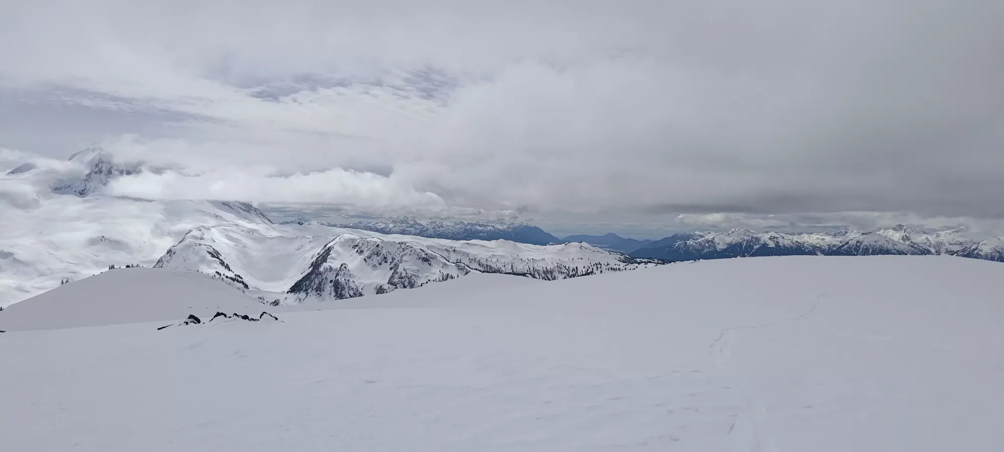
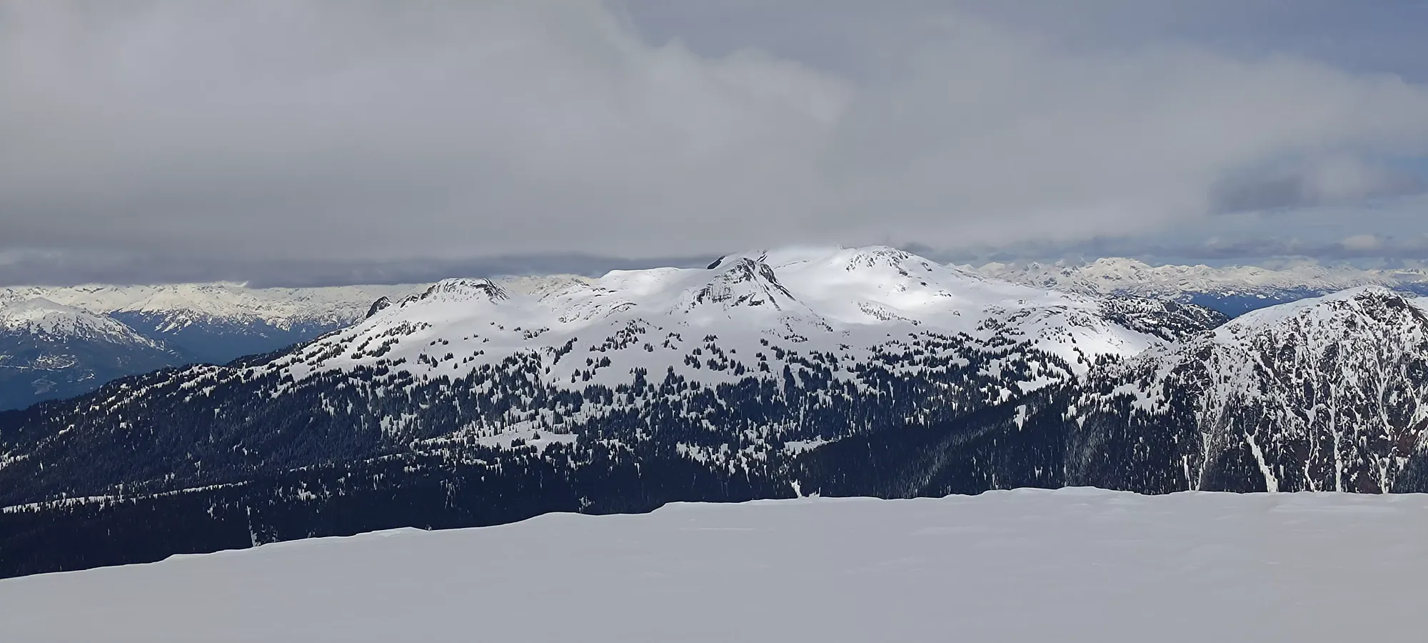
I aimed to go up the large, open snow slope directly ahead, staying on the Mount Price side of it (climber's left) until I could see the entrance to the bowl between it and the sub-peak visible above on the right, and figure out how best to enter that to minimize elevation loss, if any. There was a single dry slide coming off of Price's NW face, seemingly starting up in the rocky terrain below the summit, possibly started by a cornice, since there were some decent-sized ones up there. Nothing I would need to worry about, though.
As I got closer to the crest of that ridge, the snow got firmer, and this got more intense the higher I got on it. As I neared the top, I could see that the ridge would go a bit higher than the ideal entrance to the bowl used to gain the col, so crested it and side-hilled over on the very-crusty west side of the ridge to get to the base of the bowl, where I popped my skis off and sat down for a few sips of water before continuing on my summit push, resting for around 10 minutes.
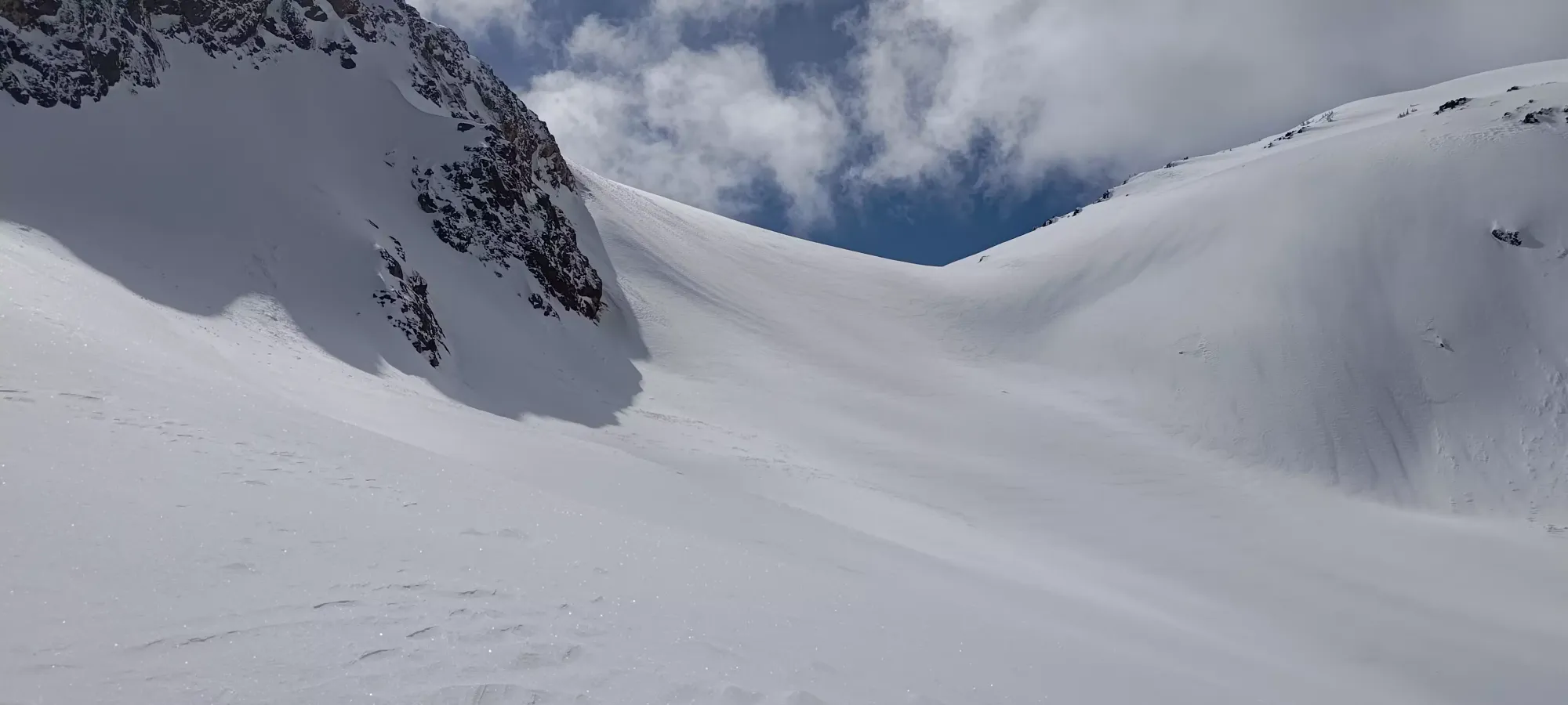
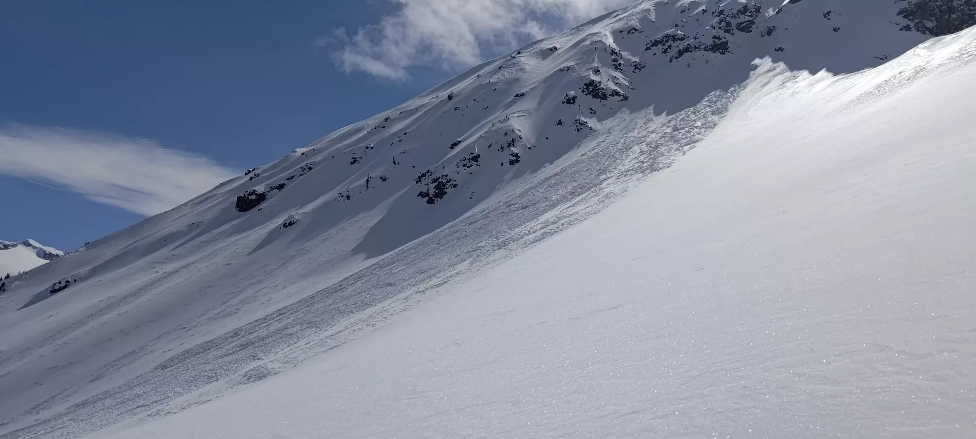
Getting up the bowl and onto the col took about 20 minutes, gaining about 150m in the process, so actually quite efficient. Most of that was soft snow once again, but the final switchback or two were a bit firm, so I had to take care to ensure I didn't slip, or that would be a tedious recovery and re-ascent. No need for ski crampons or bootpacking, though. If nothing else, the firmer snow helped seal in the snow, so loose slides coming from the surface were basically a non-issue, which was helpful in this most risky part of the ascent route.
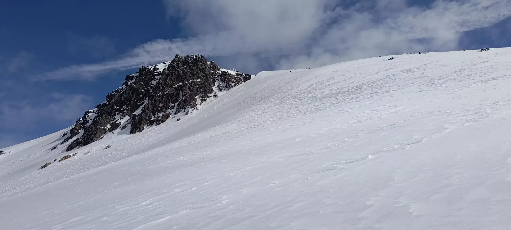
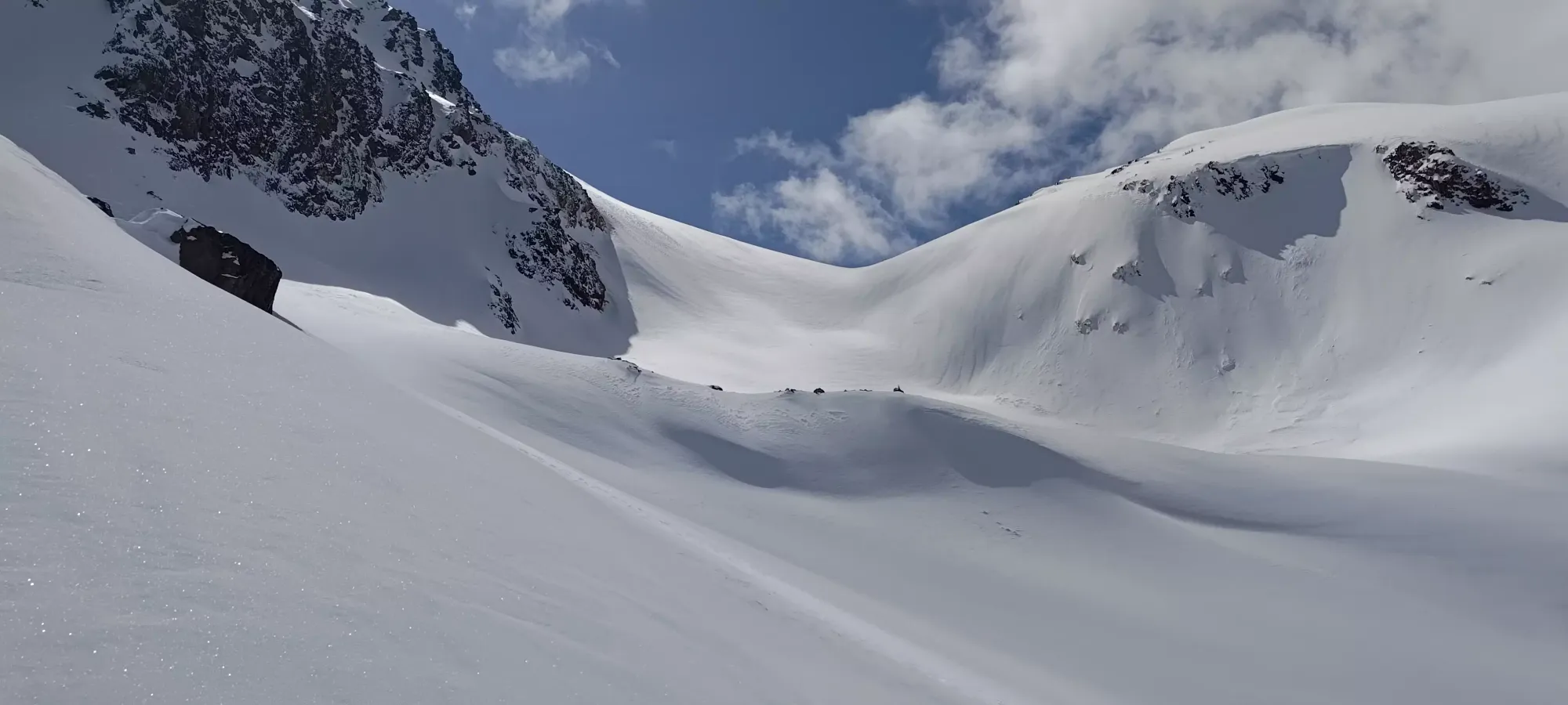
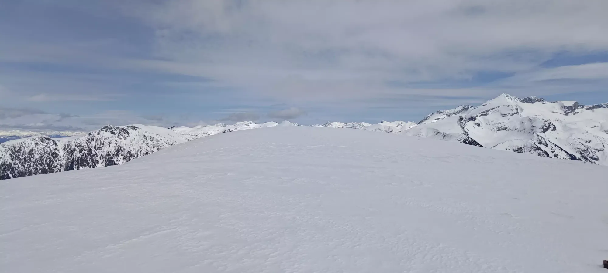
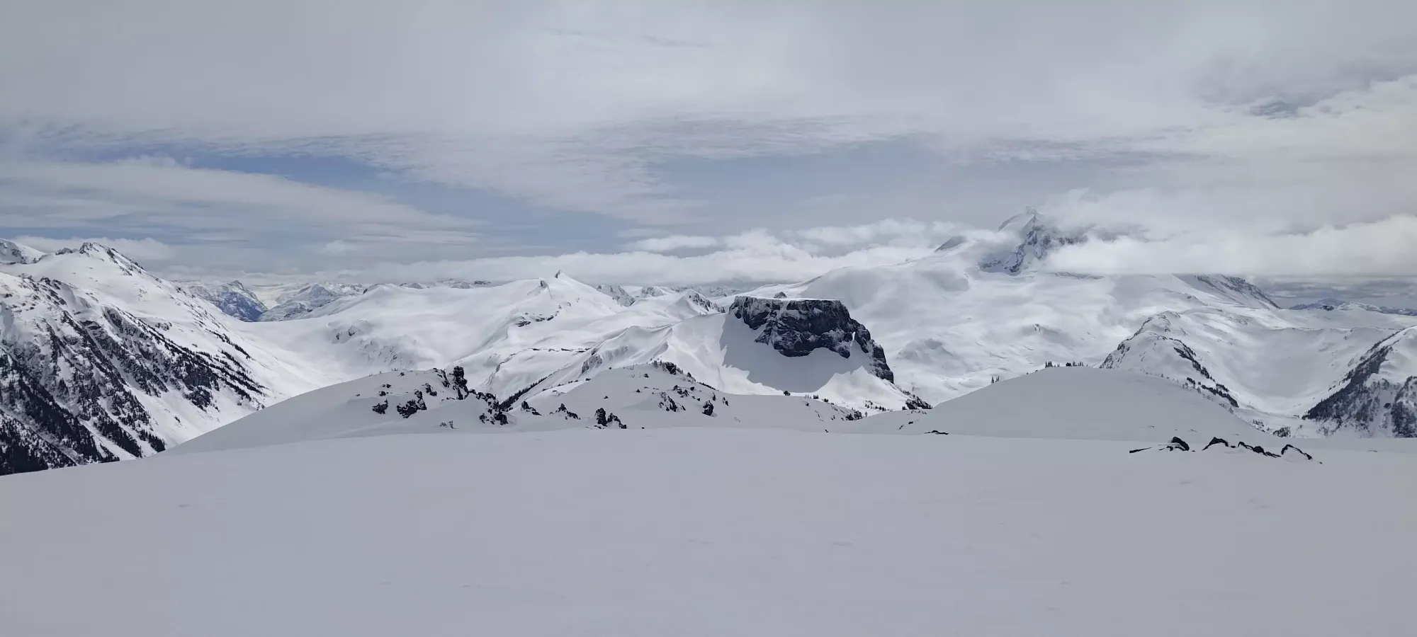
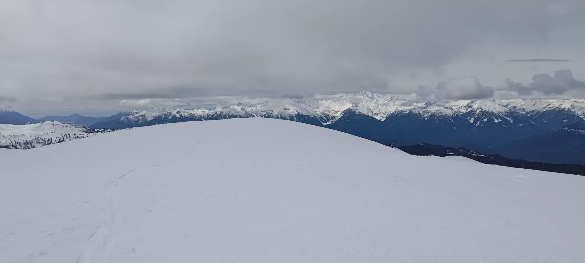
On the summit ridge, the terrain isn't too steep, though I made the mistake of unnecessarily trying to follow old+faint tracks, which ended up pushing me more on the north slope of the ridge than on top of it, which just made for needlessly slow+careful skinning, as maintaining an edge was both difficult and essential. I eventually figured this out and corrected it, though, and in about 15 minutes, I made my way onto the summit, skins-on the whole way!
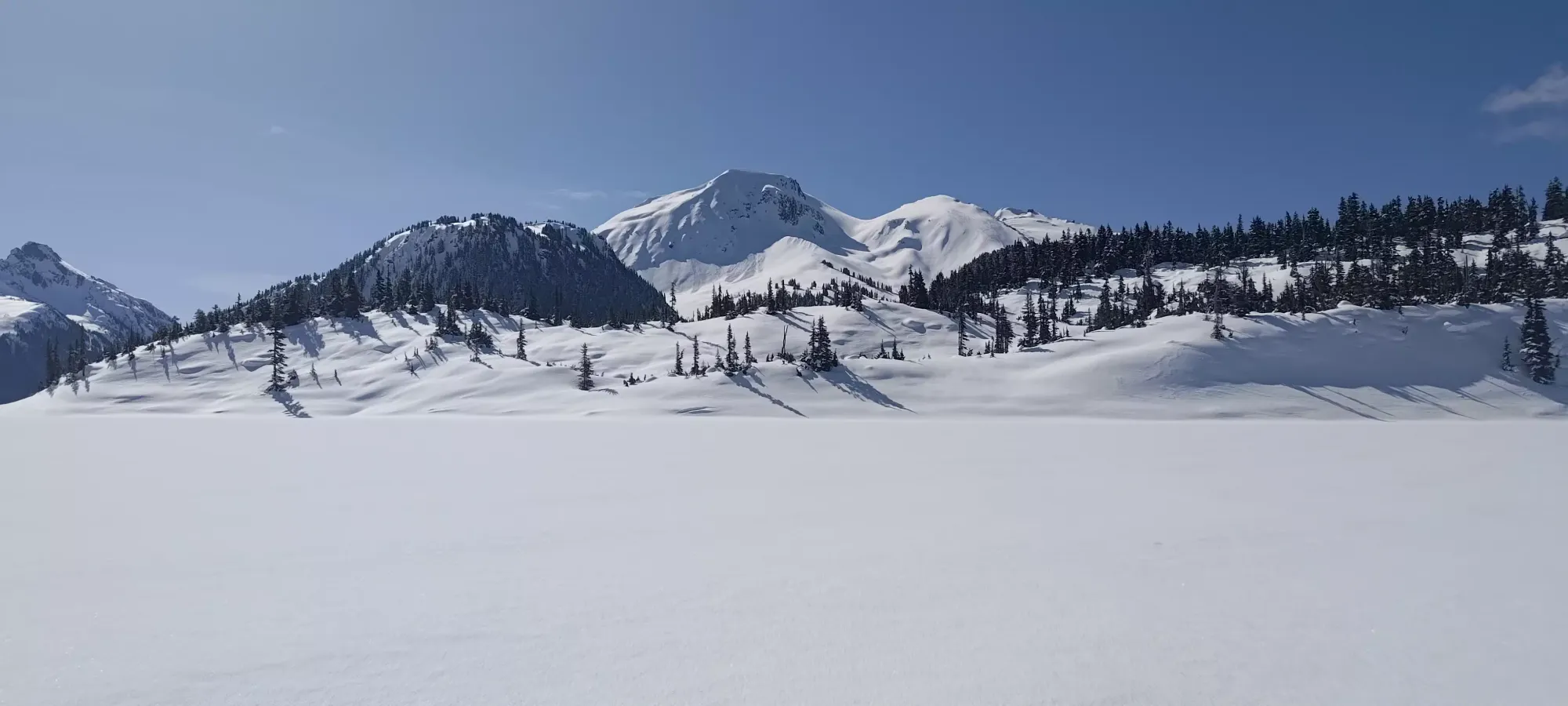
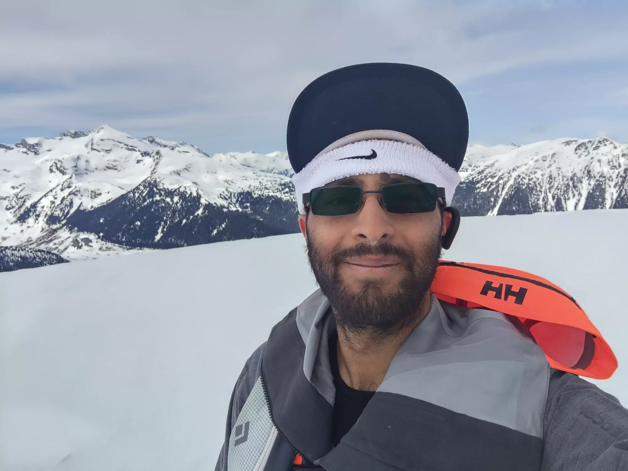
The summit area is quite flat and wide, and has 2 little bumps on it, the further of which is the true summit and ever so slightly higher. I stayed quite far to the climber's right to avoid the cornices I saw below, and was glad to see rocks under my feet at the summit. Between photos, responding to Slack messages, and transitioning, I spent a bit under 20 minutes at the top before I got myself geared up, clicked in, and ready to ski.
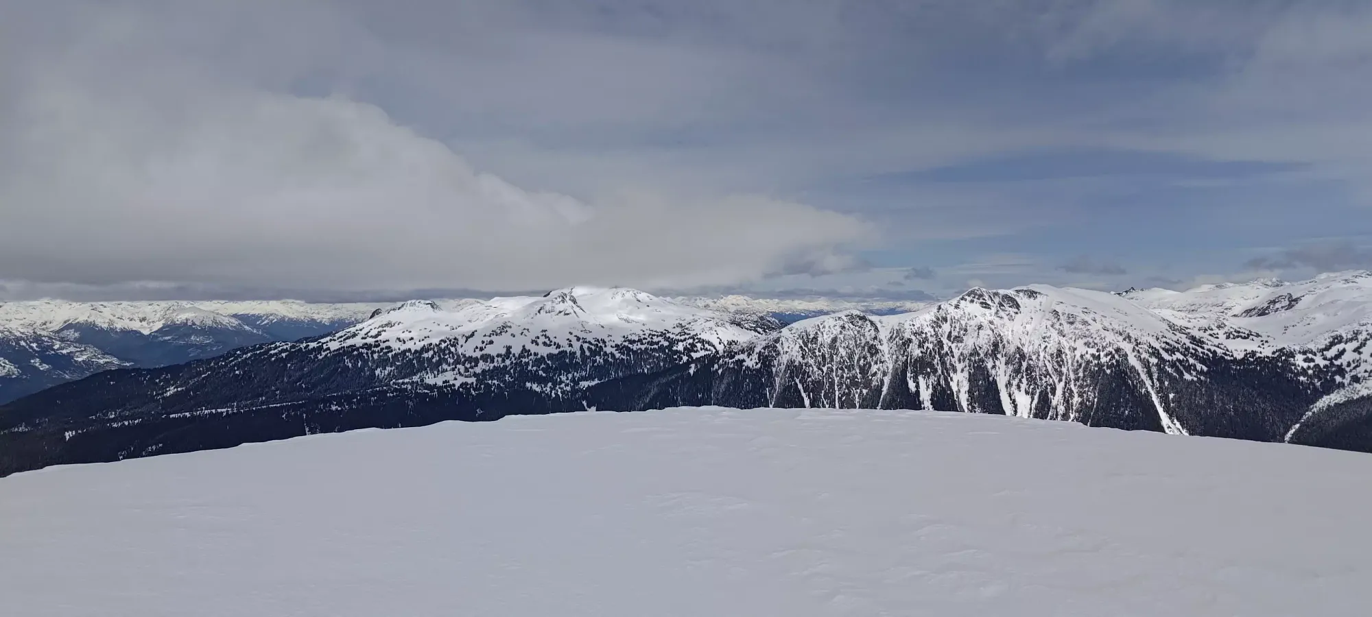
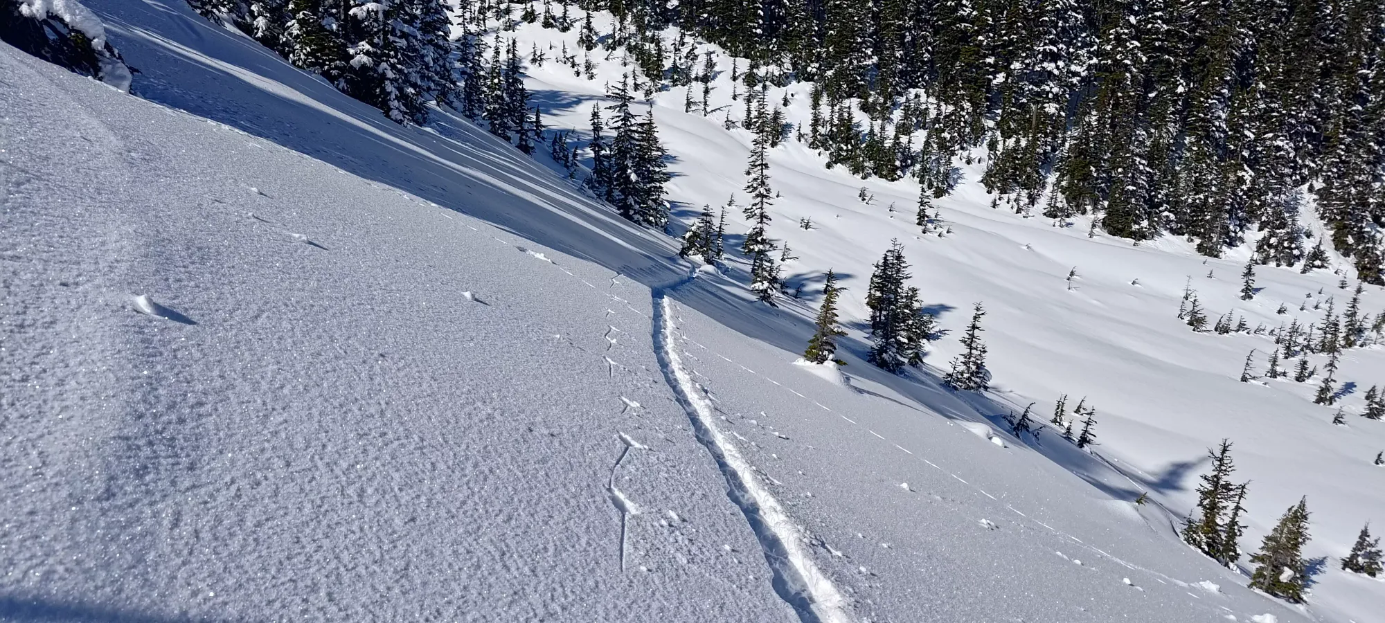
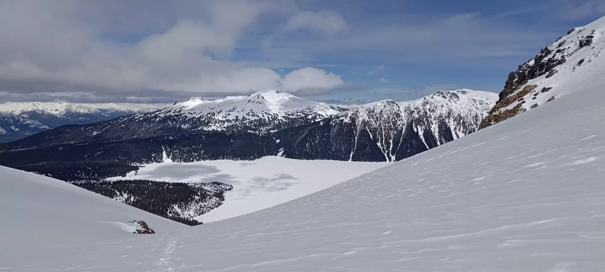
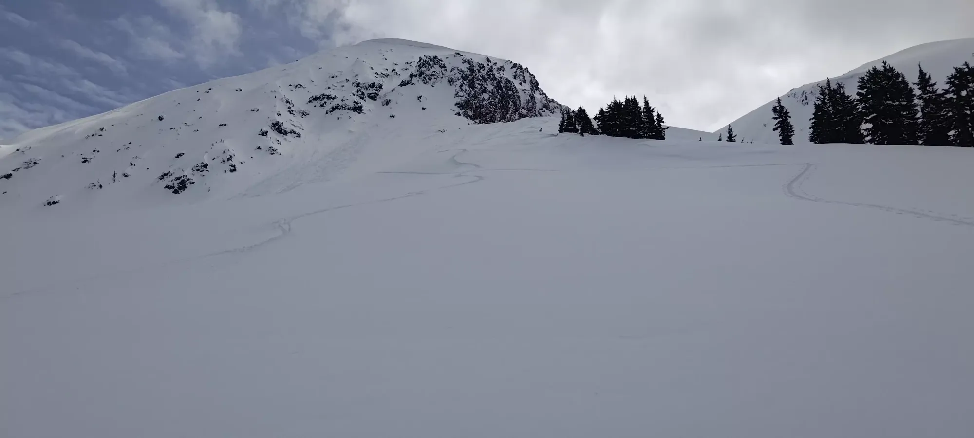
I started the ski down just after 1pm. The first bit to the top of the bowl below the col was pretty crusty, but at least not sticky, so it was easy skiing, if not super pleasurable. Once I got into the bowl, though, the snow was soft and I could properly enjoy myself. Not too much, though, since I had to get back up and over the ridge I used to access it, lest I get sucked into the gully to skier's left, which I'd not explored and didn't want to just yeet into blindly. So, after a couple turns in the bowl, I cut over to the ridge, and then got to enjoy some great open powder turns down towards the trees, stopping half to give my legs a rest, and half to get a picture 😅
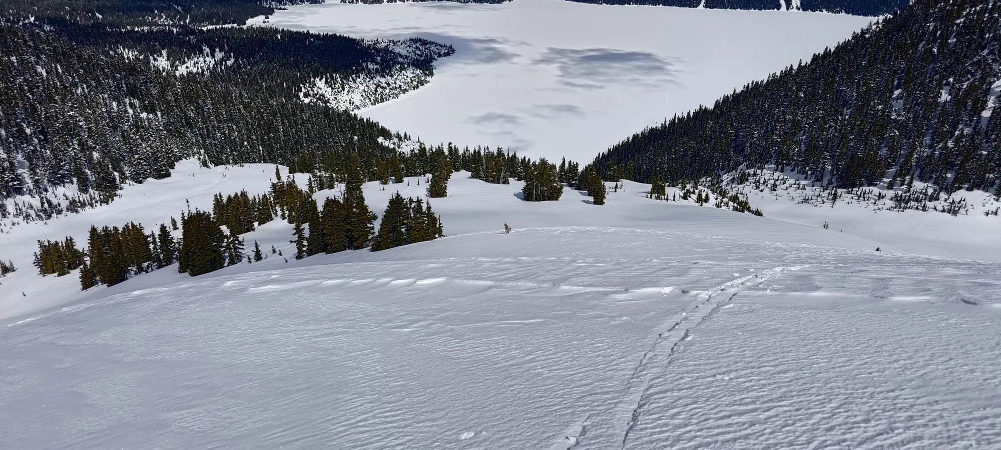
The trees were equally fun, and I ripped it down all the way to the lake, taking a whole 7 minutes from summit to lake. If only all mountains could be this good, and if only there wasn't a whole lake crossing and long trail after this run before the car...
For the way back across the lake, I decided not to transition any more than unlocking my boots+bindings, neglecting to put my skins on or shed layers, figuring the former wouldn't be necessary on the flat lake, and the latter would be too much effort. However, I also decided to move a bit faster on the return vs the way to the mountain to see how fast I could do it moving at a "reasonable but non-stop pace", which meant I definitely did work up a bit of a sweat in the process. On the plus side, the return to the trail only took 30 minutes this time, so a definite improvement! Once I got back, I took a few minutes to rest, pack my helmet+goggles away, and strap my stashed shoes (thankfully still dry) onto my pack before booting up the short climb away from the lake. I also passed a couple parties who'd come up after me at this point.
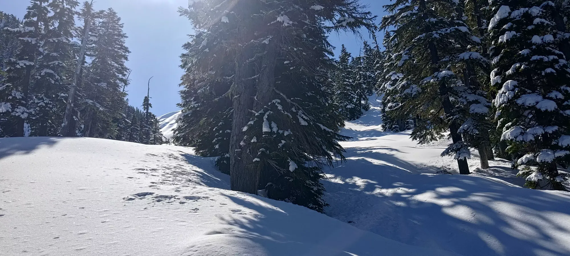
Getting from the lake to the Taylor Meadows junction was a 40-minute exercise in playing the "do I shuffle up this small hill on my skis, or take them off and boot" game, with a lot of undulation and not much in the way of continuous downhill. Once I got to the junction, though, the switchbacks started, and the trail became more-or-less a consistent downhill, so I could make faster progress on skis.
The first time I tried this, I was really concerned about speed+control on the narrow trail, but I think I was just a way worse skier back then, because that wasn't the case at all this time around, it felt like most any other forested trail one might ski down, really. A bit narrow, but shallow enough that you could always cut speed or stop if necessary.
There were a few deadfall to contend with, and I wouldn't call the snow "good" or anything, but I managed to ski all the way down to the 4km trail sign. I had to stop and duck under/step over a few fallen trees, and somewhere near 1150m I had to take skis off for a couple minutes to get around a couple bare patches, but with some reminders to myself about how "skis are tools, not art pieces", some tactful lifting of skis over rocky bits, and a bit of courage, I got down as far as one could reasonably ski.
From there, I walked for another 20 minutes in my ski boots with skis just in my hands until the 2.5km marker, which I'd earmarked on my way up as "a good place to swap into my walking shoes", so I did my final transition there, taking about 10 minutes to swap boots, strip some layers, and strap everything onto my pack. From that point, it was a straightforward ~25 minute hike back to the car.
Overall, quite a fantastic trip! Hard to be mad with finally getting a peak I've failed 3 times over, and especially with great skiing to boot. I guess having more snow lower down, maybe enough to ski The Barrier would've been even better, but in 2023-2024, that seems greedy 😅. 10/10 would recommend Mount Price, as a ski tour specifically.
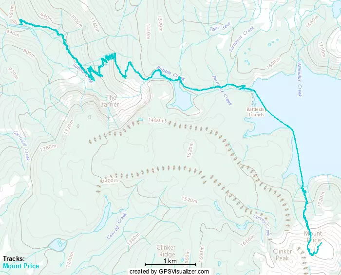
GPX Track + Map