Clinker-Price (Unnamed Garibaldi Peak) - April 10th 2022

Coast Mountains, Squamish, British Columbia
1987m
So, this trip was an interesting one. After a while of just skiing and moving, I actually hadn't hiked in quite a while. But, after feeling rather poor from those former activities, and seeing some nice, calm, low-avalanche risk weather for the weekend, I couldn't wait any longer.
Problem is, this is definitely still the time for ski mountaineering. Well below the treeline, you have plenty of snow, and the trails that are broken have clearly had many skis on them. However, growing up on tiny east-coast terrain, I've skied "real powder" about twice. Where I got my skiing legs, everything is groomed to oblivion, and runs are so short you can bomb em in a straight line, so needless to say I've got some progress to make on my abilities before this is a viable option.
Not one to accept the reality of my situation, though, I decided to go to one of the great skimo areas of the world, and I would not be stopped! The original objective was Clinker+Price, but as you'll see later, things changed a bit after we got started.
Anyway, let's actually start this trip, shall we? After a quick breakfast of a whole peanut butter sandwich (this would prove to be an oversight later on), I donned some baselayers and thin pants+shell, stuffed some essentials into my daypack, strapped some snowshoes to the outside, and set out to the trailhead, getting there just about 9AM. After seeing a bit of snow on the side of the road on the way, I realized this was going to be notably "wintrier" than my previous spring visit to the park in May last year. I set out in my hiking boots, and started the slog up. No pictures for most of the trail to/back from the lake, as it's rather well-traveled, including by me, so I was mostly just in mission-mode for this part.
Progress was good from the start. About 1km in I started seeing patches of snow, about 2km in I put some spikes on. Passing a few groups of people skinning up felt pretty good. At about 1:40 in, I got to the Taylor Meadows fork, where I said good luck to a group skiing Black Tusk (definitely not in my skill bracket). 10 minutes later, I strapped the snowshoes on, and I got to do my first "walking over a lake" since I left Ontario as Barrier Lake was totally frozen over. I was concerned about if this would be feasible since it's already April, but given the lowest lake was solid and paths across well-broken, my concerns were quickly assuaged.
After a quick shortcut over Barrier Lake, I rejoined the path, scurried around the Lower Lake, and ended up at the front of Garibaldi lake about 40 minutes later, or about 2.5 hours in. Given I'd previously clocked in 2 hours to the lake in the summer (albeit somewhat dehydrated), that felt pretty good. Normally (in the summer), the Mt Price trail goes by the campgrounds, ducks into some fairly overgrown bush, and follows a flagged trail around the south side of the lake. However, it is quite tight, and the terrain is quite variable. Thankfully, with the lake frozen, there were plenty of tracks going right across to encourage me to take a shortcut right across.
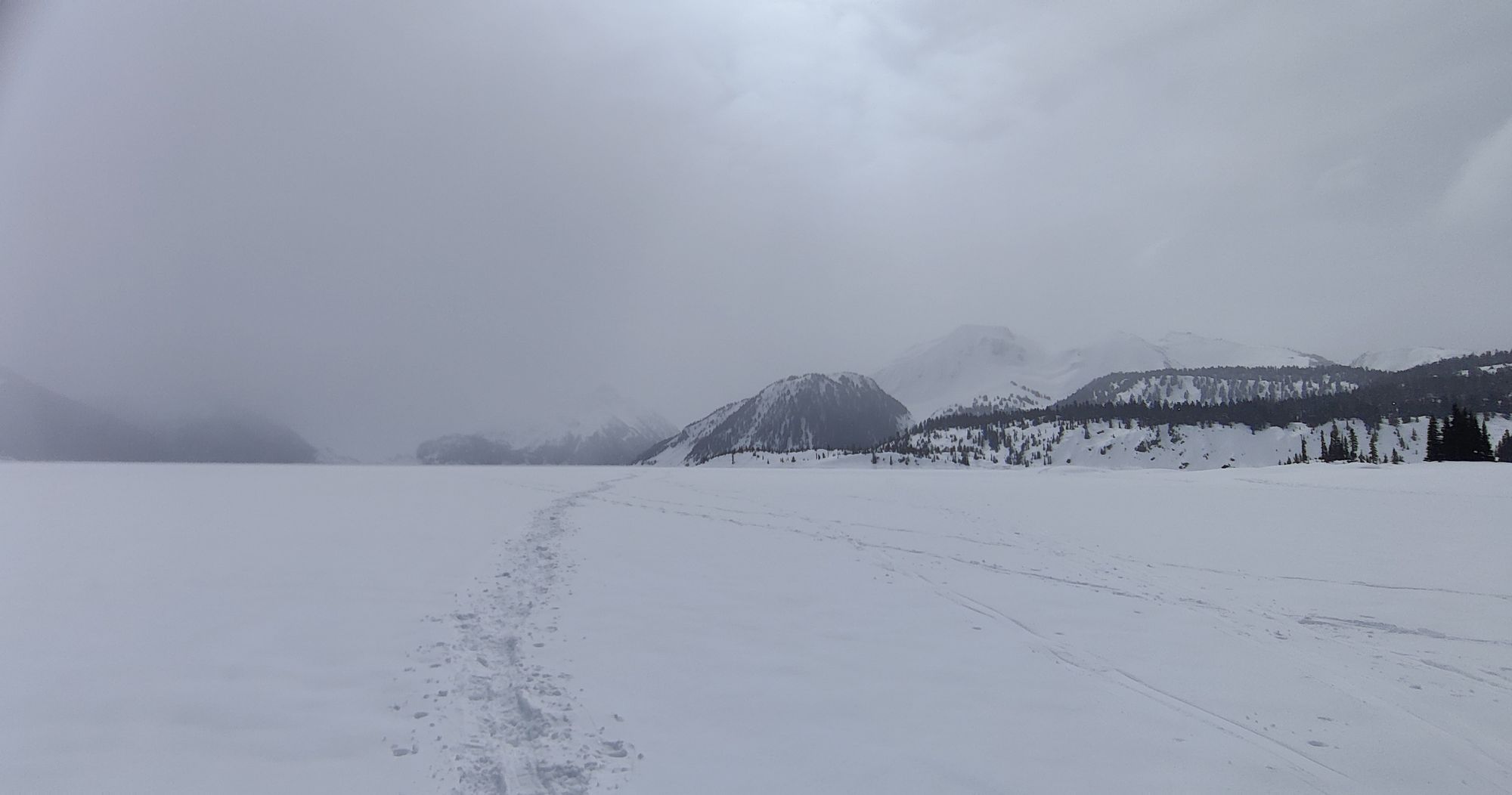
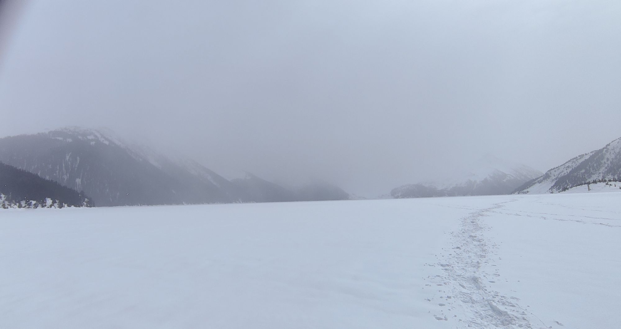
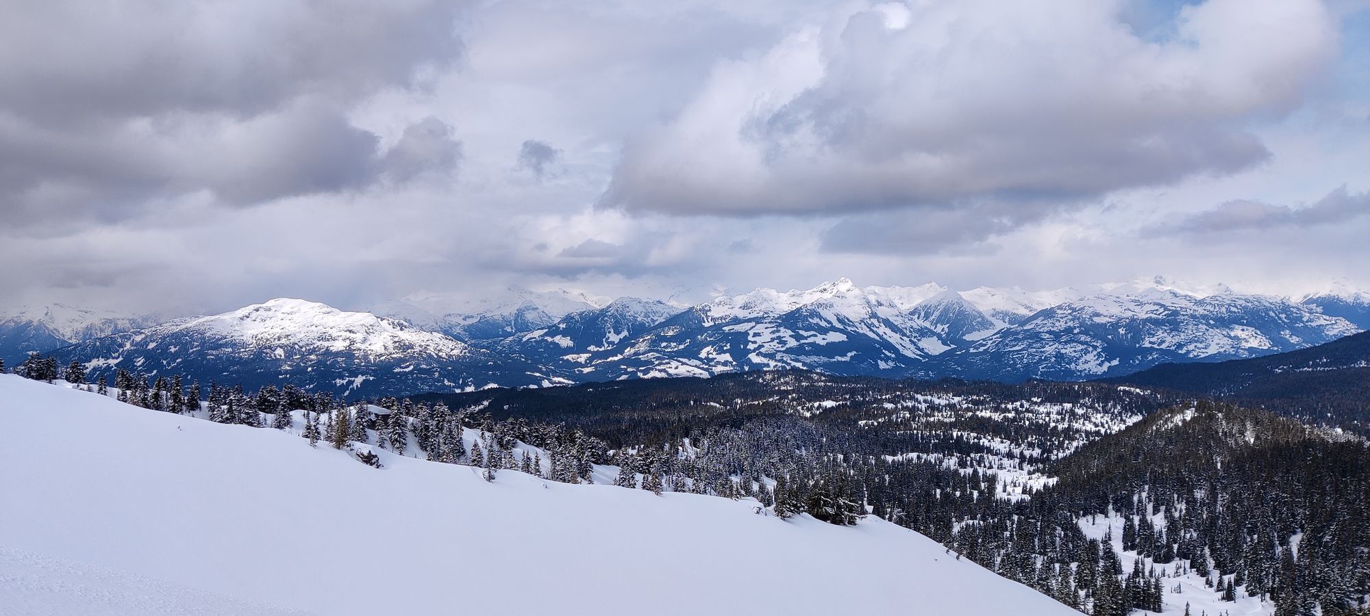
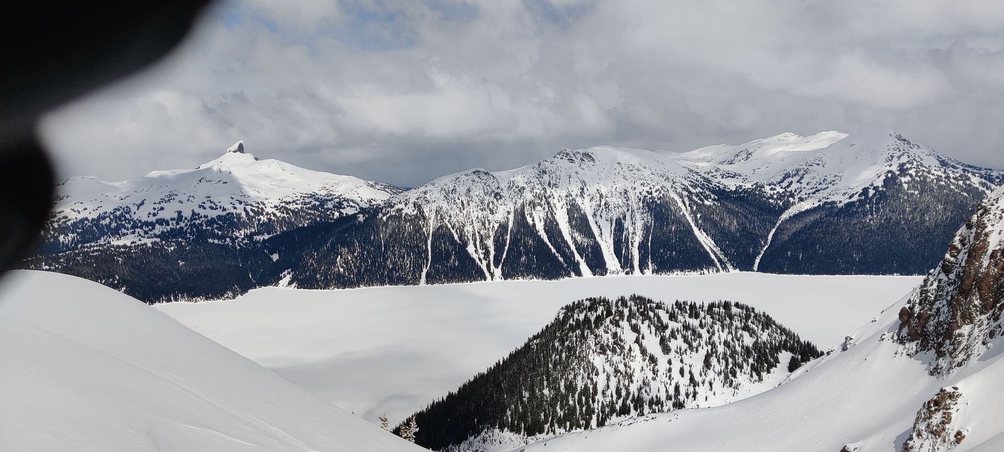
From near the tip of the lake, looking back, forward, north, and east
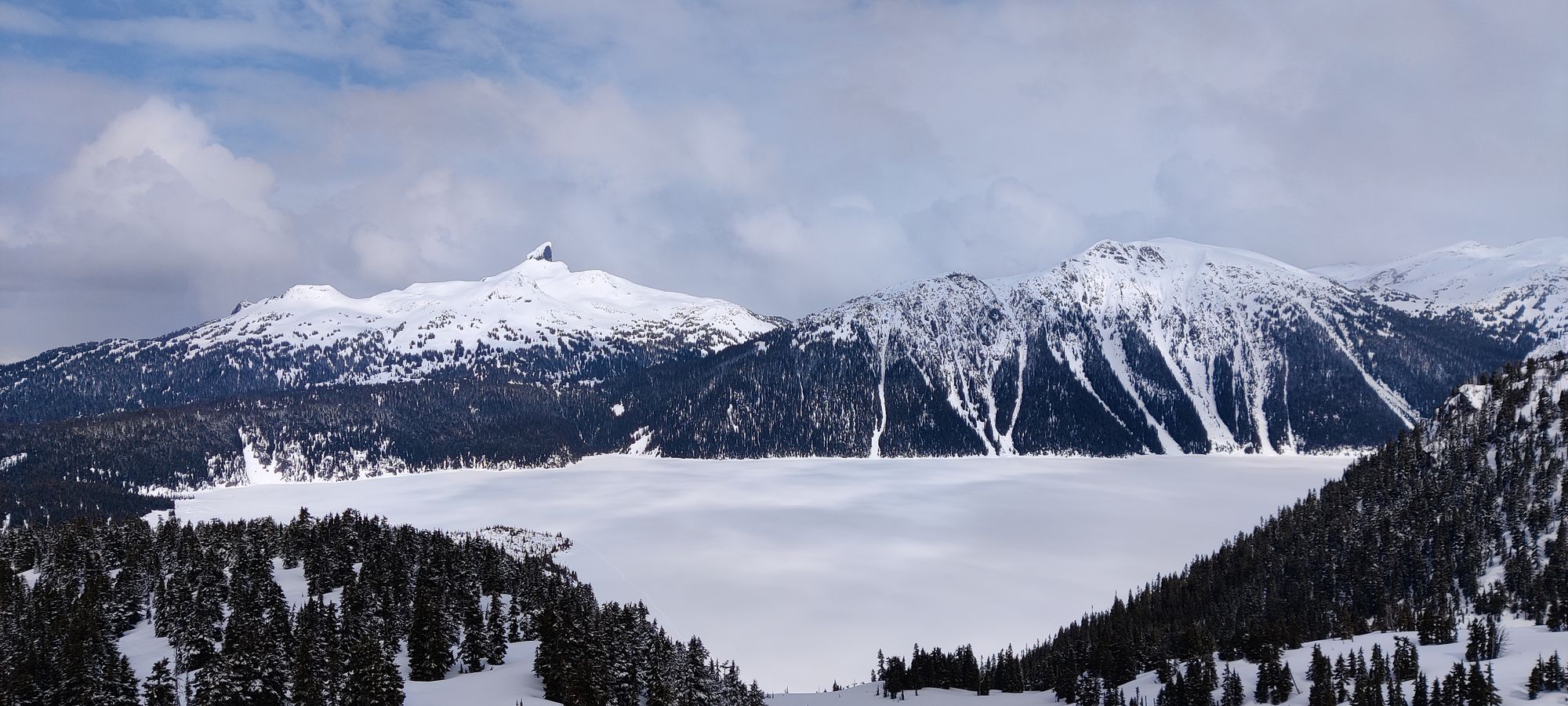
About 20 minutes later, I was halfway done my lake-crossing (not quite the maximal length of it, which would be substantially longer). It was during this section that I learned how much less skis compress the snow vs snowshoes, following the former's tracks you still sink in a bit but snowshoe tracks were much more stable. Thankfully now the clouds were starting to clear up a bit, and I could see the surrounding mountains a bit more clearly. Coming up towards my objective, I was pleasantly surprised by how alpine it looked, which helped me ignore my growing hunger.
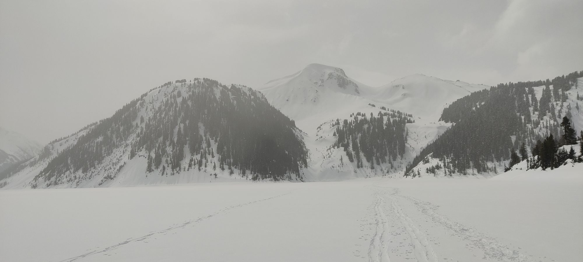
Another 20 minutes of fairly boring flat snowshoeing, and I got the other side of the lake. This is where I met my first obstacle, which I will affectionately call "wish you brought your crampons gully" I'll leave it your imagination as to why 😅. Here is not only where I had my first doubts about not bringing crampons, as it was fairly steep and would've been easier with more frontpointing and more so sidehilling ability, but also not bringing skis. The snow felt quite nice, and the slopes are steep enough to be fun but not so much to be scary here. Nevertheless, I stubbornly kept the axe strapped on the bag, and slogged my way up with snowshoes and poles.

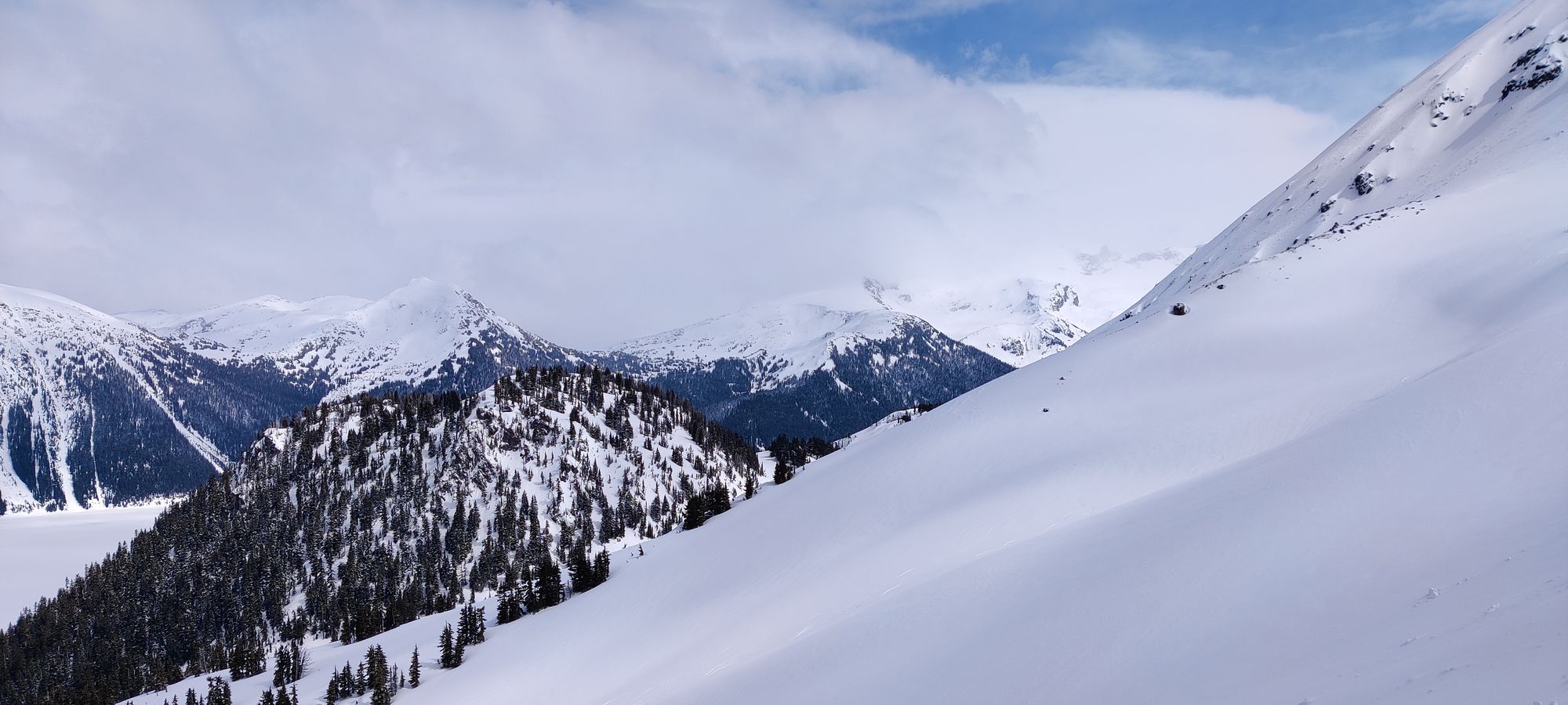
It was tiring work, I'd gone more or less continuously to this point, stopping only for occasional water or pictures, but here I was setting goals of "get to that mound of snow and you can rest". The lack of calories was definitely getting to me, but I knew my body would be better off digesting at the summit break than before I got there, so I pushed through it. About 20 minutes later I crested the gully, and got to the main slopes up the mountain. These were very interesting if you were a skier, and were where I officially kicked myself for not having the confidence to bring my skis up, but were very boring switchback walking up snow for me.
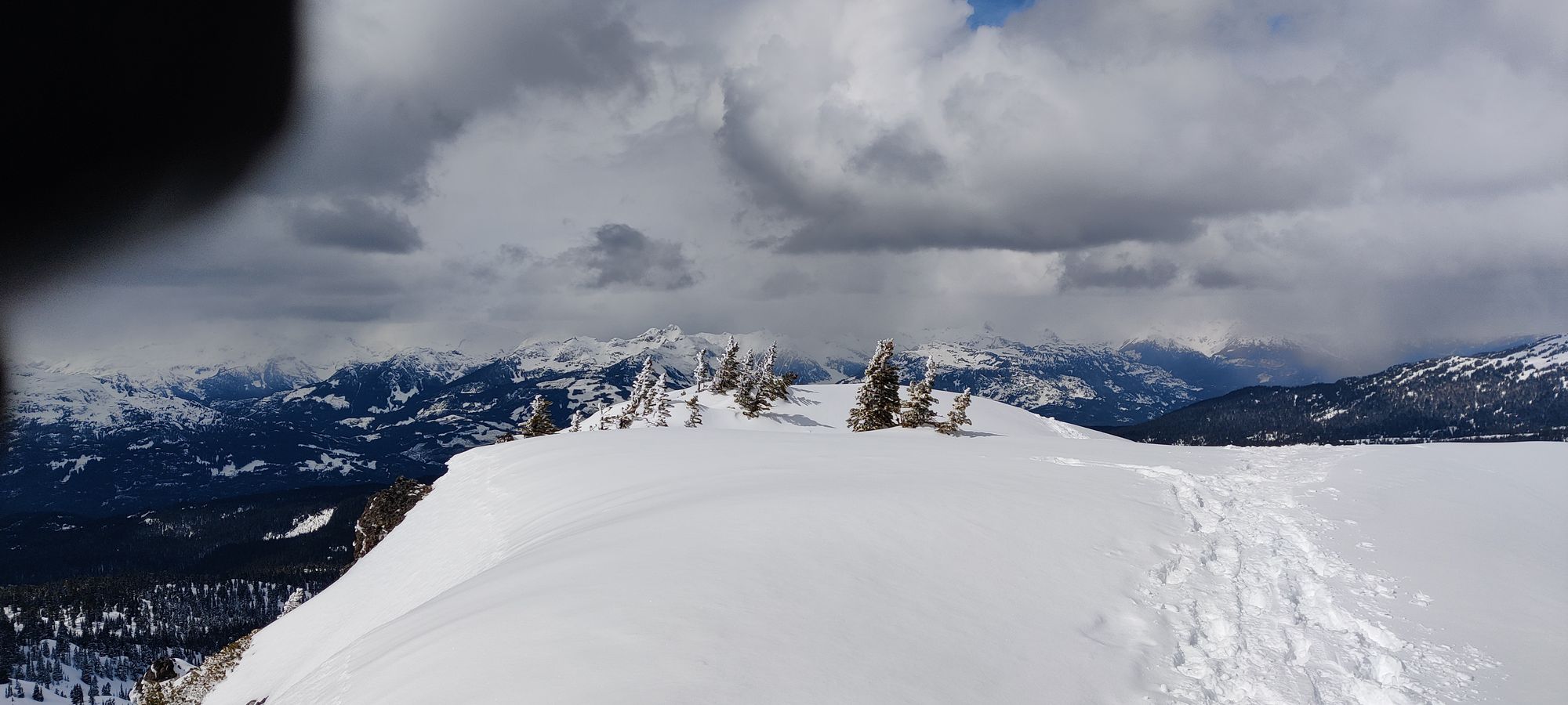
About 40 minutes of "kinda steep walking", I got to the last, steep push up to the peak of the summit I have deemed Clinker-Price (definitely not inspired by any purveyors of children's toys), as it is an unnamed peak sitting smack between those two peaks. This was the second section where I slowed down a lot, taking a step and moving each pole with a second between each movement, probably. I was definitely feeling that calorie deficit. After another half hour of slow progress, though, and a bit under 5 hours of uphill, I finally hit the summit 🎉.

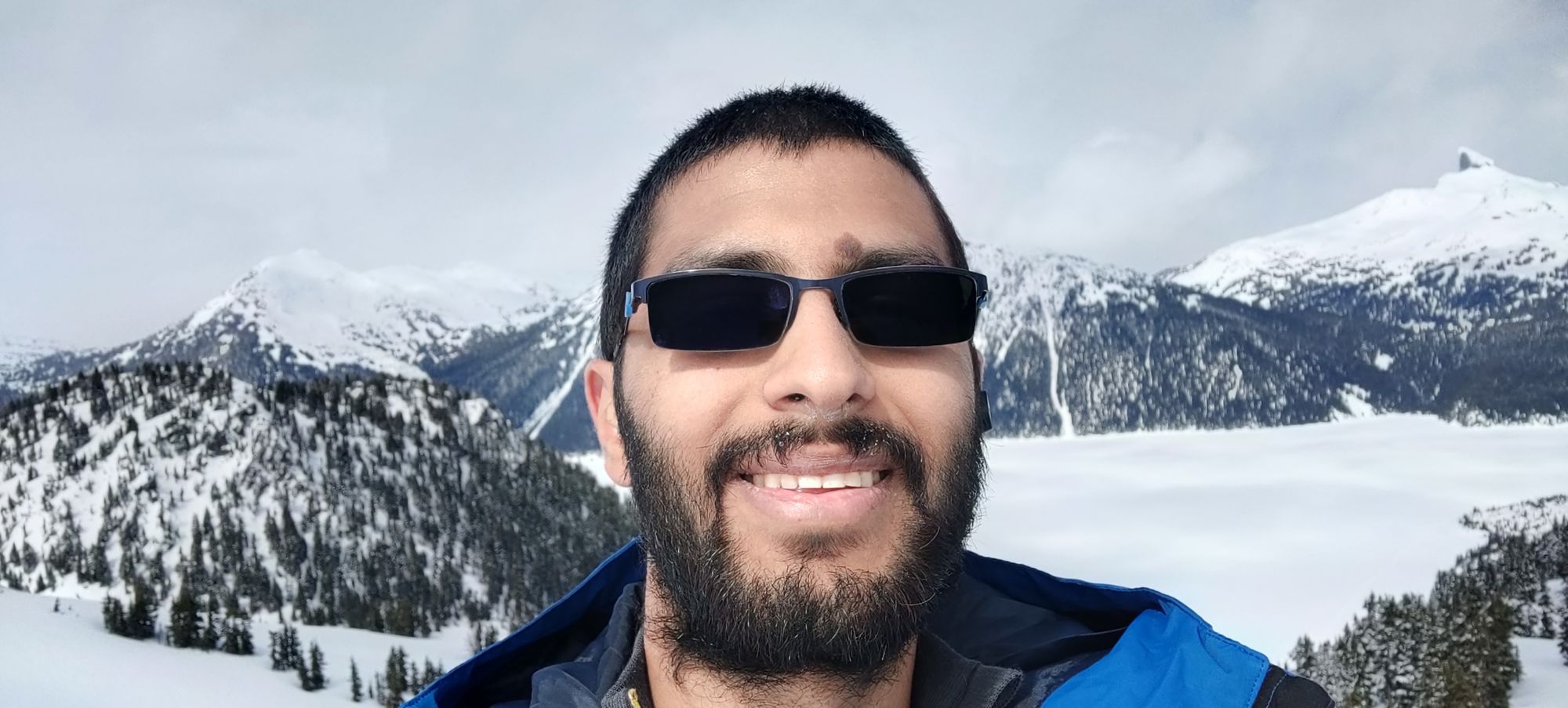
At this point, I had a choice to make: continue on to one of the two peaks (Clinker or Price), or call this unnamed peak "good enough", justify it to myself saying "I'll have to come back with others later so I should leave them for the group", and give up 😅. With how tired/hungry I was feeling, and knowing my lunch consisted of 2 granola bars,, and that I only had an hour til my turnaround time, I decided to call it here. Of course, I didn't actually bring snowpants because I figured they'd be too warm, and I don't own proper waterproof pants, so I found myself a nice+dangerous exposed rocky outcropping to sit on, and enjoyed my 200 calories worth of "lunch". I sat, ate, drank, digested, and enjoyed the view for maybe half an hour (a full meal would've taken longer to digest, and might've caused me problems later, which is why I made the probably poor choice of bringing so little), and decided to head down.
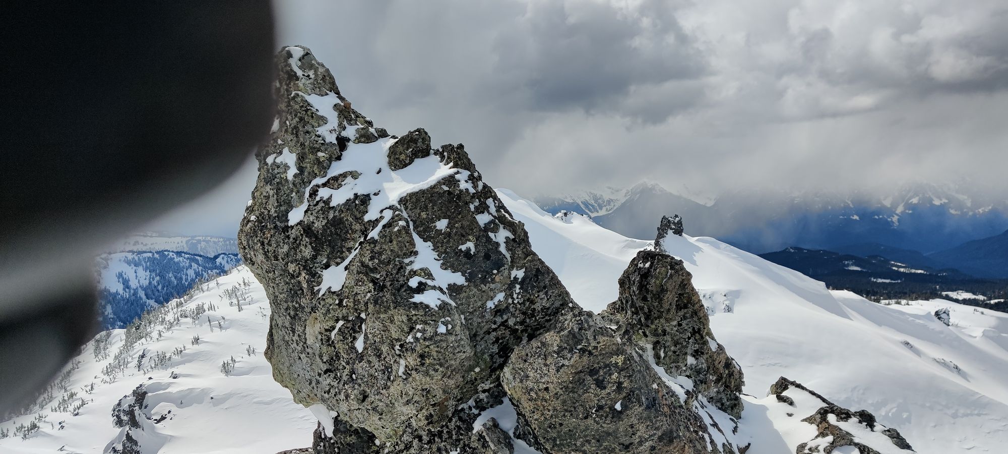

After a quick exhibition of only the finest photography skills (one day I'll get a camera I can operate with gloves on that isn't a phone, that I won't cover the lens with 50% of the time...), I started the trek down. After a couple minutes on the summit plateau, I decided to try and glissade down to save a bit of time. However, since I stubbornly refused to take my snowshoes off, it was slower and much less graceful that normal. But it was faster and less tiring than walking, with less risk of postholing or falling over, so I continued with my strategy. About 15 minutes later, though, I was faced with a decision, and made my third big mistake (the former two being no skis, and not enough food). I decided to take the scenic route, and instead of taking the same way back I did to the peak, to follow the "real" Mt Price trail through the trees instead of back across the lake. Mostly to avoid the rather steep slide down through the gully which was my alternate route. This was not the right plan.
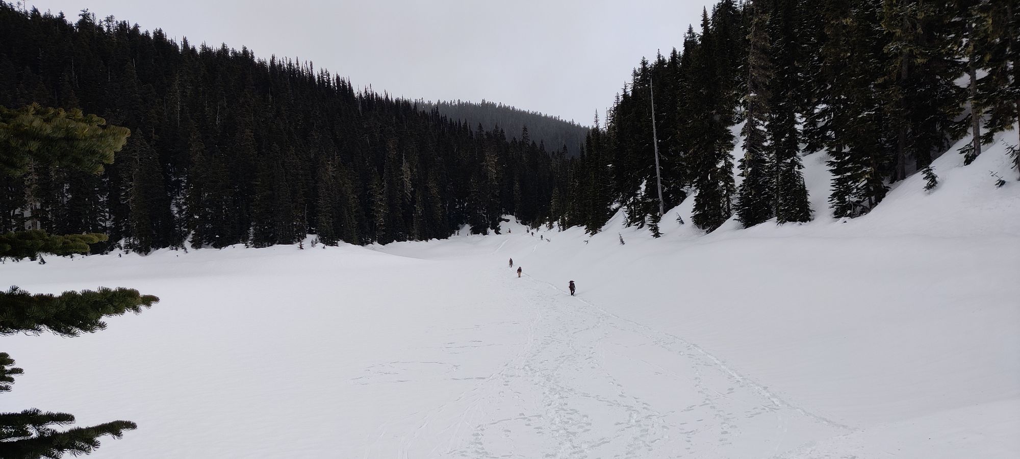
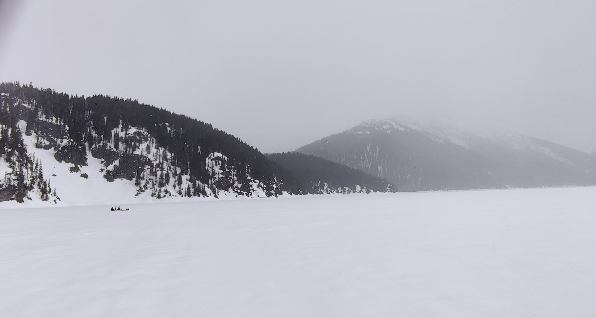
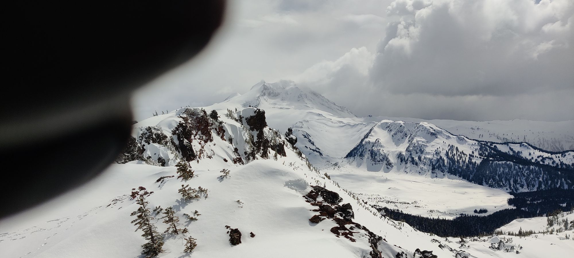
Although it didn't look it from up top, there was actually only a single set of tracks on this path, and they were skis. The first few minutes were actually pretty nice, though, and I got some great views of nicely snowed-in forest like below.

However, after about half an hour of fairly pleasant and simple walking through the forest, I encountered my first problem: the ski tracks lead along a rather steep side-hill I didn't really fancy tacking on snowshoes. The skier, of course, had no issue with that, but I looked at my GPS and thought "this way to the right looks to be pretty much the path still, and much more pleasant, let's go there".
That was a fairly short-lived fantasy. From this point, it took me about 50 minutes to get back to the tip of the lake. Keep in mind, it took 40 minutes to cross the lake on the way up, with another 20 to get up the gully. Why, you might ask? Well, it turns out when you randomly go off-trail, you end up facing side-hilling much more annoying than what you were trying to avoid, random cliffs you have to not fall down, valleys you have to glissade down, and all manner of annoying undulating terrain that makes you hate your stupid decision-making 😅.
About 25 minutes into this joyfest, I found a creek valley that led back out to the lake whilst trying to cut my way back to the path, and I decided following that out to the lake sounded much nicer than climbing out the other side of it to the trail. At this point, my glasses were stuck a bit-too-dark and my depth perception was a bit off so I was stumbling through the snow for a while, but eventually I got back out to the lake, and managed to rejoin the path right before the furthest campsites. That was indeed quite a relieving feeling.
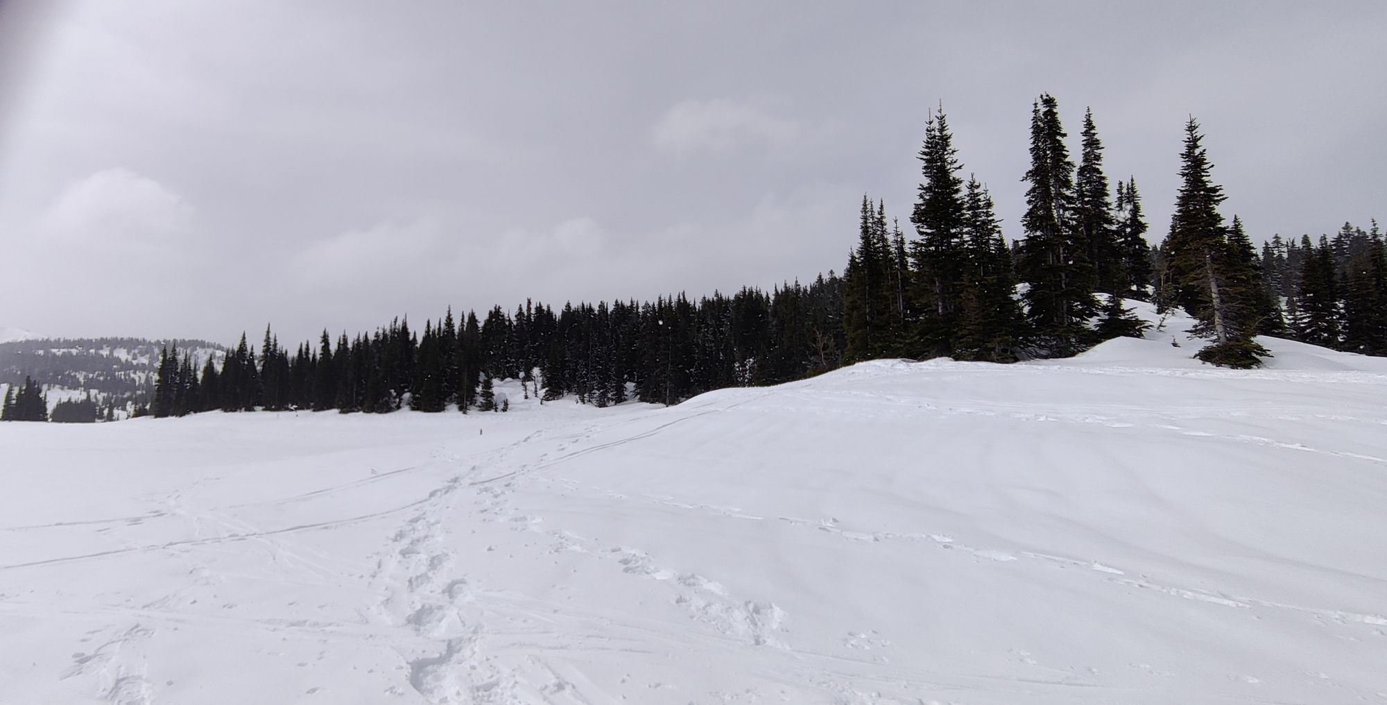
After an ~10 minute break on a mostly-buried sign, I rehydrated, and continued on my way down with some semblance of hope that I'd get back before 7pm, which was when I'd hoped to be out of there. I formally exited the lake about 7¹/⁴ hours into the journey, quietly singing along to my music with a slight spring in my step once again. About 45 minutes later, I got back to the Taylor Meadows fork, and swapped the snowshoes out for spikes once again. While the snow was plentiful for a while longer, it was well packed, and spikes are both lighter and less cumbersome, so they made progress easier now that I was done crossing lakes (and the sign at the fork makes for a nice natural resting point).
After a short breather, I continued on the descent. The rest of the descent was fairly uneventful, with the exception of my first sighting of large animals whilst on a hike, as I saw a pair of deer cross the trail about an hour later as I was in the "sparse snow" section of the hike once again. They were about 5 metres in front of me, and I didn't want to disturb them by hanging around, so sorry, no pictures, I just walked by and let them be.
I finally got to the lot at about 6:30, making the total trip just under 9.5 hours. My legs at this point hated me with every fibre of their being, I was pretty damn pooped. I took a good long rest at the trailhead, and ended up chatting with some Australian guy who was standing around in shorts and flip-flops, who apparently was considering going up camping at the lake, and trying Black Tusk. However, he had no snow or avalanche gear whatsoever, so after talking with him about the conditions, etc. he decided to car camp for the night, and go back to town the next day if he had any intention of going past the lake (as while the trail to the lake is packed enough that one can do it in shoes if they're determined, going past that point is totally impractical without snowshoes or skis). I'd like to think I did some public service there and saved someone from a bad decision.
So, overall, it was a fun, if exhausting trip; and I did learn some important lessons:
- Skis are efficient, sure, but also the snow looked way too nice to waste, I gotta bring em next time
- Taking "the scenic route" is dumb, and avoiding the path+the broken trail out of laziness is also dumb
- A peanut butter sandwich and 2 granola bars is not enough food for a 9.5 hour hike
- InReach message presets do not allow customization of the contacts on-device, you gotta set those before you head out (sorry for making you worry til the end, Mom)
On the plus side, I still got a fun journey, I did get "a peak", and I have an excuse to visit this gorgeous area again. Sorry about the lack of pics (and the poor quality of those taken), I have been on the trail to the lake so many times I didn't really feel motivated to take more, and past that I was honestly kinda tired and didn't feel motivated to take the phone out. As for the quality, yeah, phone photography with gloves is awkward, eventually I do plan to invest in a real camera, just gotta do some saving first.
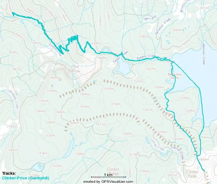
GPX Track + Map