Mount San Antonio (Baldy Bowl) - April 3 2024
A classic ski tour in the San Gabriel Mountains of Los Angeles. Plus, for the peakbaggers out there, an ultra!

San Gabriel Mountains, San Bernardino County, California
3068m
After a productive Easter long weekend with a couple great powder days and a couple peaks snuck in there as well, I decided to keep the gravy train going and drive even further south down to L.A. I have some family there to crash with, so it made for a nice place to spend the rest of the week before my hard deadline to be back home on the following Monday. I drove down on Tuesday, with a plan to get something done before work on Wednesday, since that was the best weather window we'd get, and also happens to be the day I normally block my calendar in the morning. I was debating between which of the 3 ultras near LA to go for, and picked San Antonio for proximity (it was the closest to where I was staying), not having a tramway with a 10am opening (San Jacinto), and not being 30+km (San Gorgonio). For an extra challenge, I somehow stayed up past 1am, so I started a bit later than I'd otherwise have wanted.
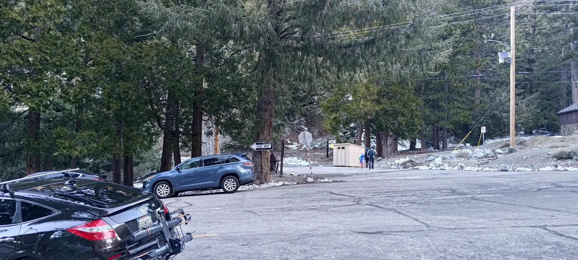
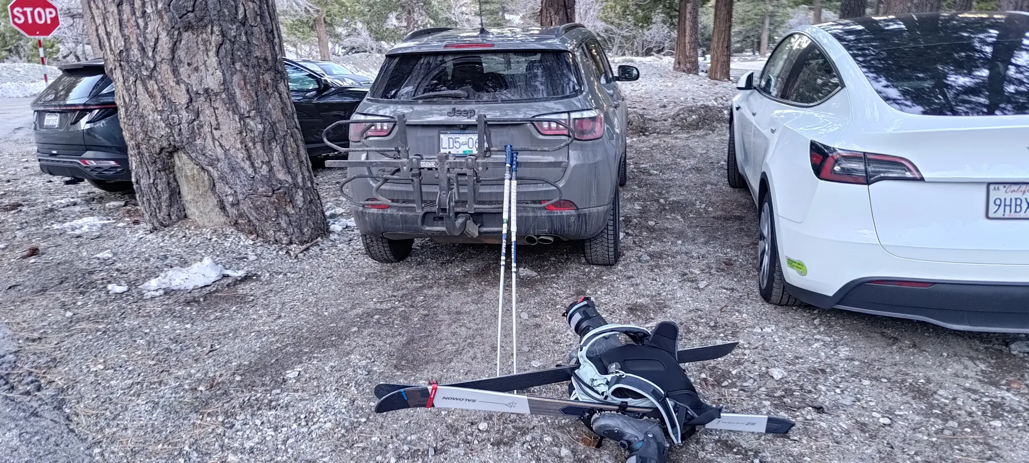
The drive to the trailhead was uneventful, the road is a generic mountain road, and is paved+maintained year-round. However, the spur roads "Falls Road" and "Baldy Road", which fork off from Mt Baldy Road (the aforementioned generic mountain road) were gated, so I just parked on the main road, and got ready to start walking. Since the road was dry, I just kept my driving shoes on, figuring I'd change into ski boots once it got snowy and I could start skinning, or needed the grip to boot on steep snow. With that, I was off at 8:20am, with skis on my back and hope in my eyes.
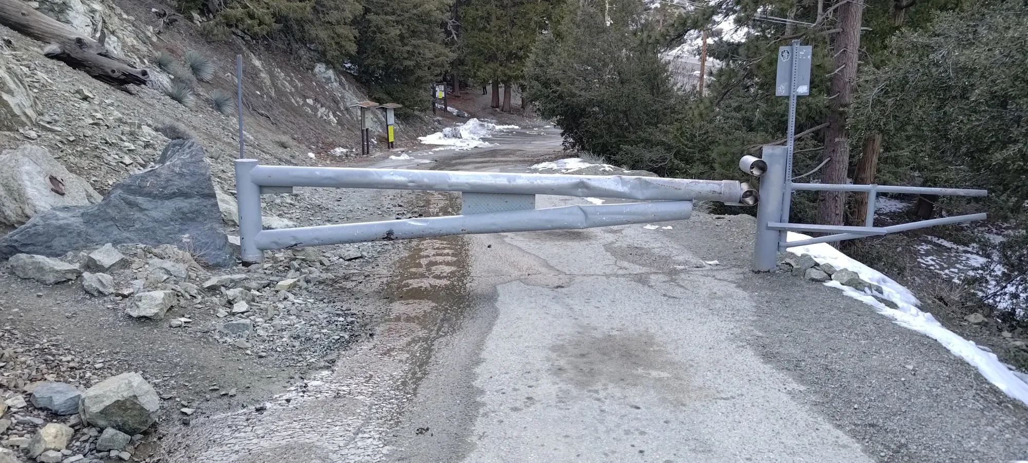
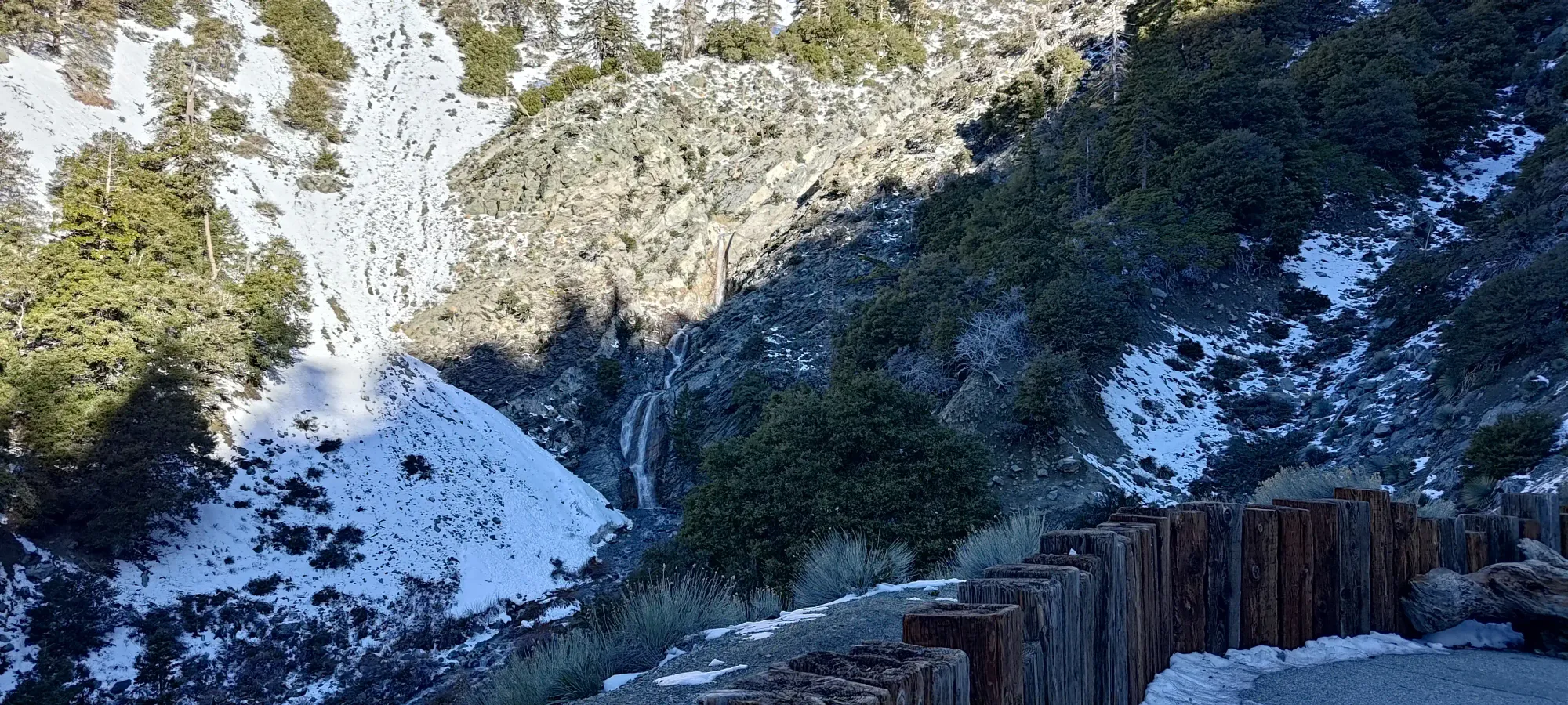
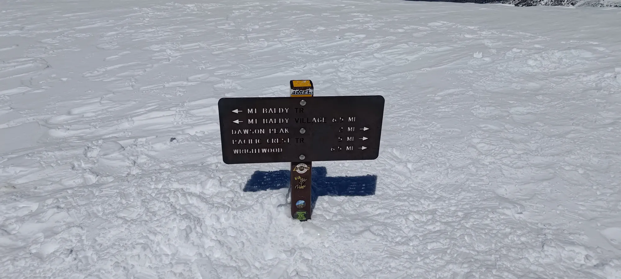
The road walk goes up, past a small viewpoint at a waterfall where it turns into a dirt road, then to the trailhead (the road continues past, but the Baldy Bowl route starts at about 2000m along the road). Walking the 1.5km and gaining about 130m in the process took 17 minutes, so quite efficient, if a bit depressing that one couldn't just drive up the actively-plowed but gated road. If you're local, maybe bring a bike to save a little time here (though there aren't really any nicely-placed trees to lock it to).
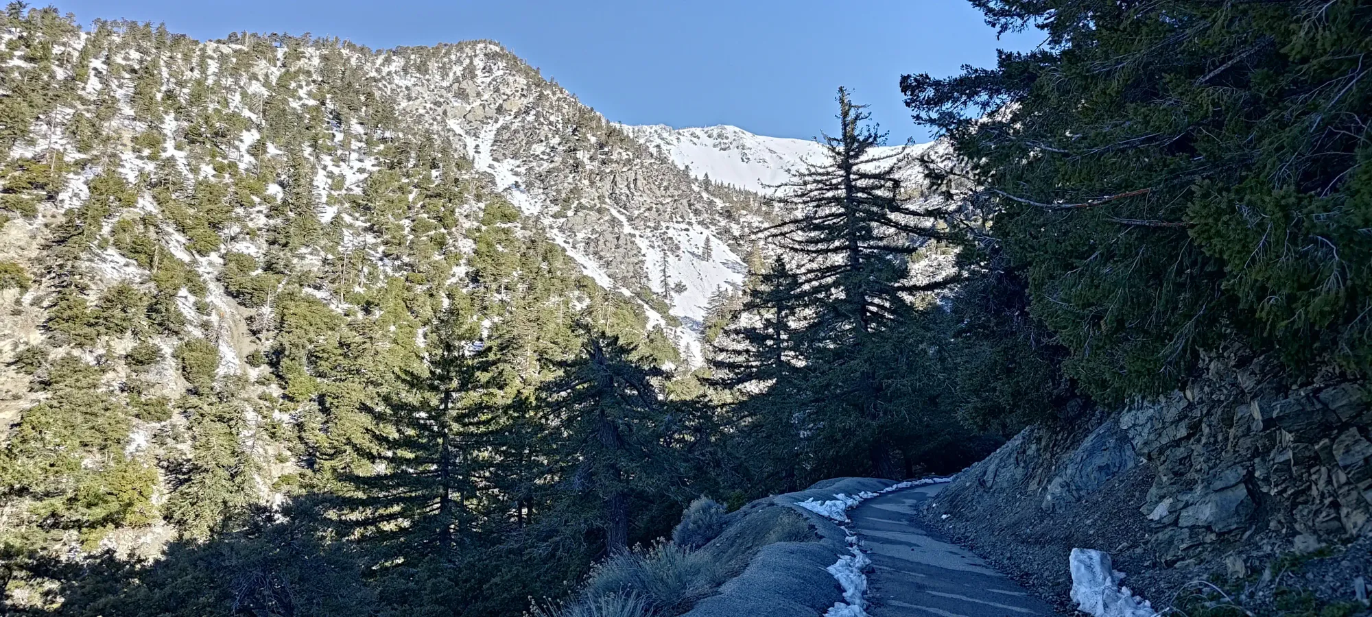
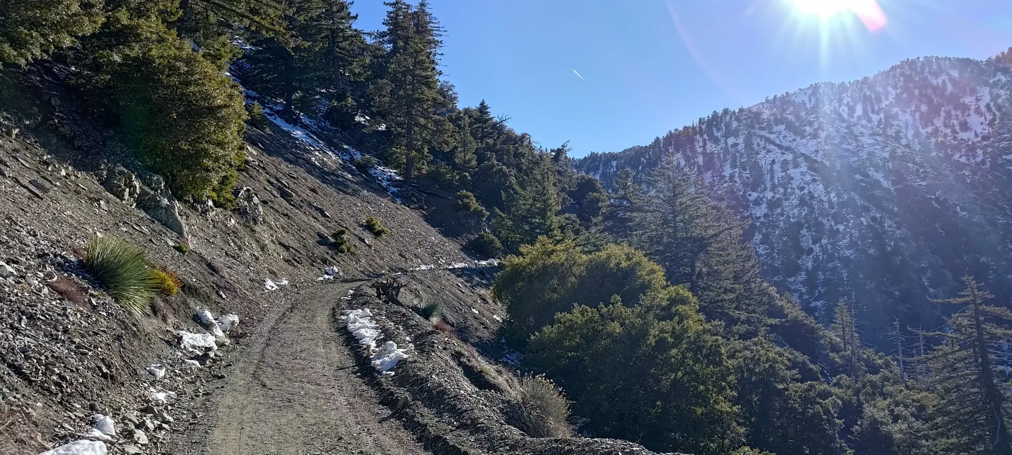
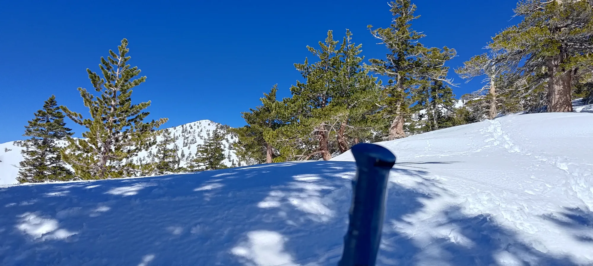
The trail was still dry at the start, but within 100m of elevation gain, I started to encounter patches of hard, refrozen ice. Thankfully these were small and infrequent enough that I could keep going in my loafers without much concern about slipping, so I powered through and kept moving up, determined to avoid the ski boot walk until, ideally, I could just skin instead. By 200m, there was snow more often than not, but it was also so well tracked that each step was flat, despite the overall trail being uphill, so I didn't have any traction issues.
Apparently this trail is built for convenient 100m sections, because the icy bits only lasted for about that long, and by 2300m, things had both softened and deepened to the point that the trail was mostly just soft snow with nice steps in it, with a healthy dose of sharks that meant nobody had bothered trying to skin, and it was all boot tracks. As such, I just kept on moving up in my shoes, which was a pleasant surprise. I also started seeing people who got proper alpine starts coming down here, who reported conditions I feared would be the case with my late start: rock and icefall on the steep climbs/lines in the bowl, meaning I would be relegated to the boring way up if I wanted to be safe about things. Oh well, it's still a skiable ultra, there are worse things in the world than getting to experience that 😃.
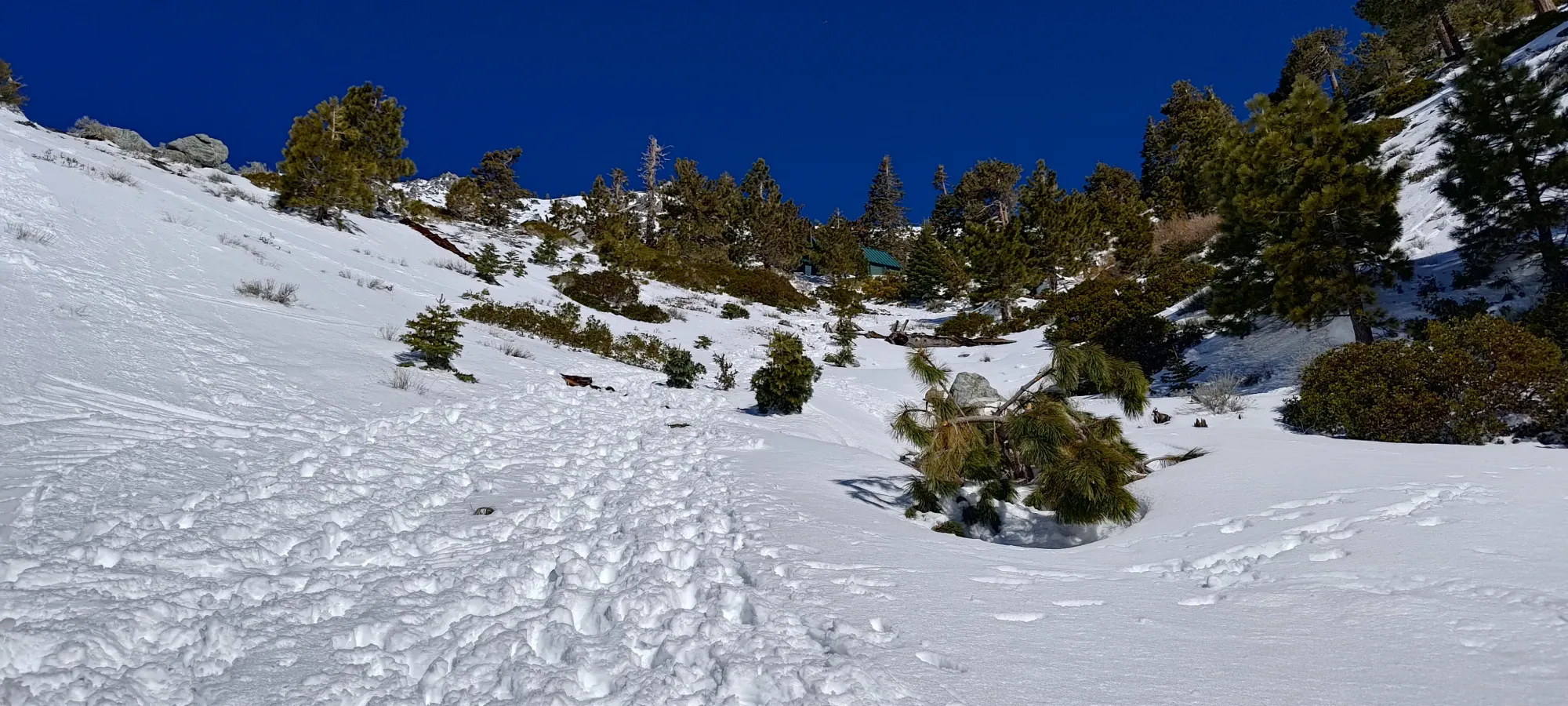
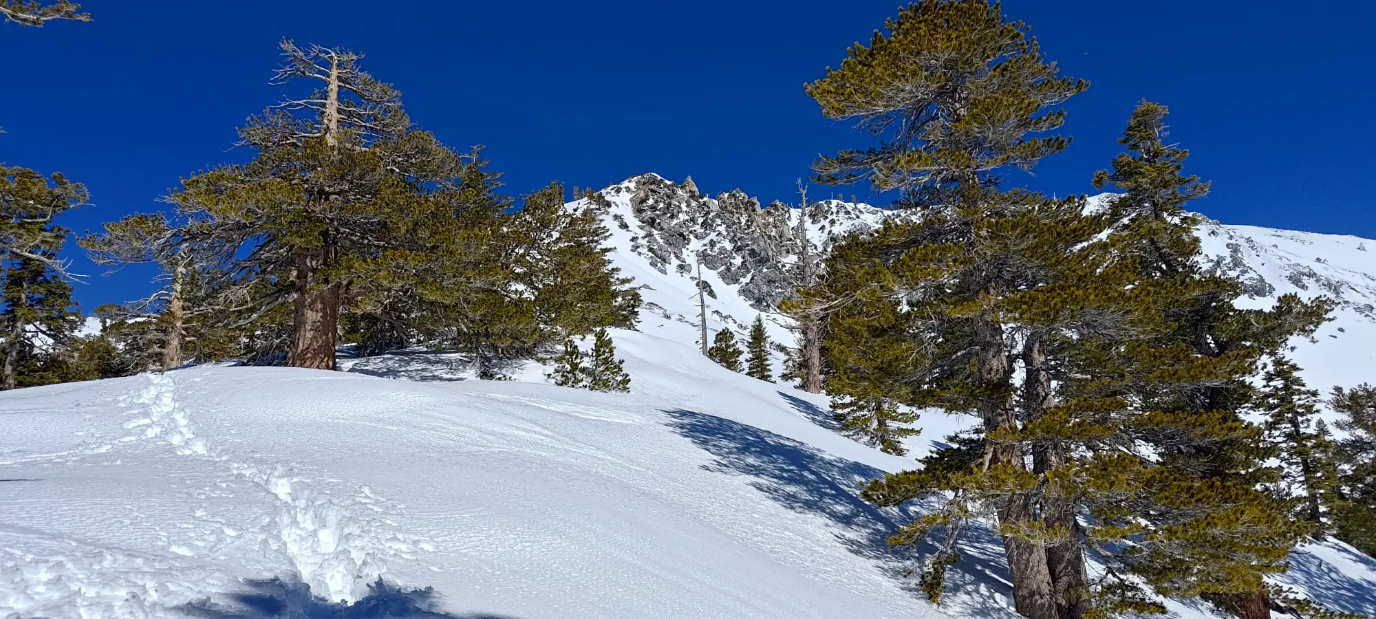
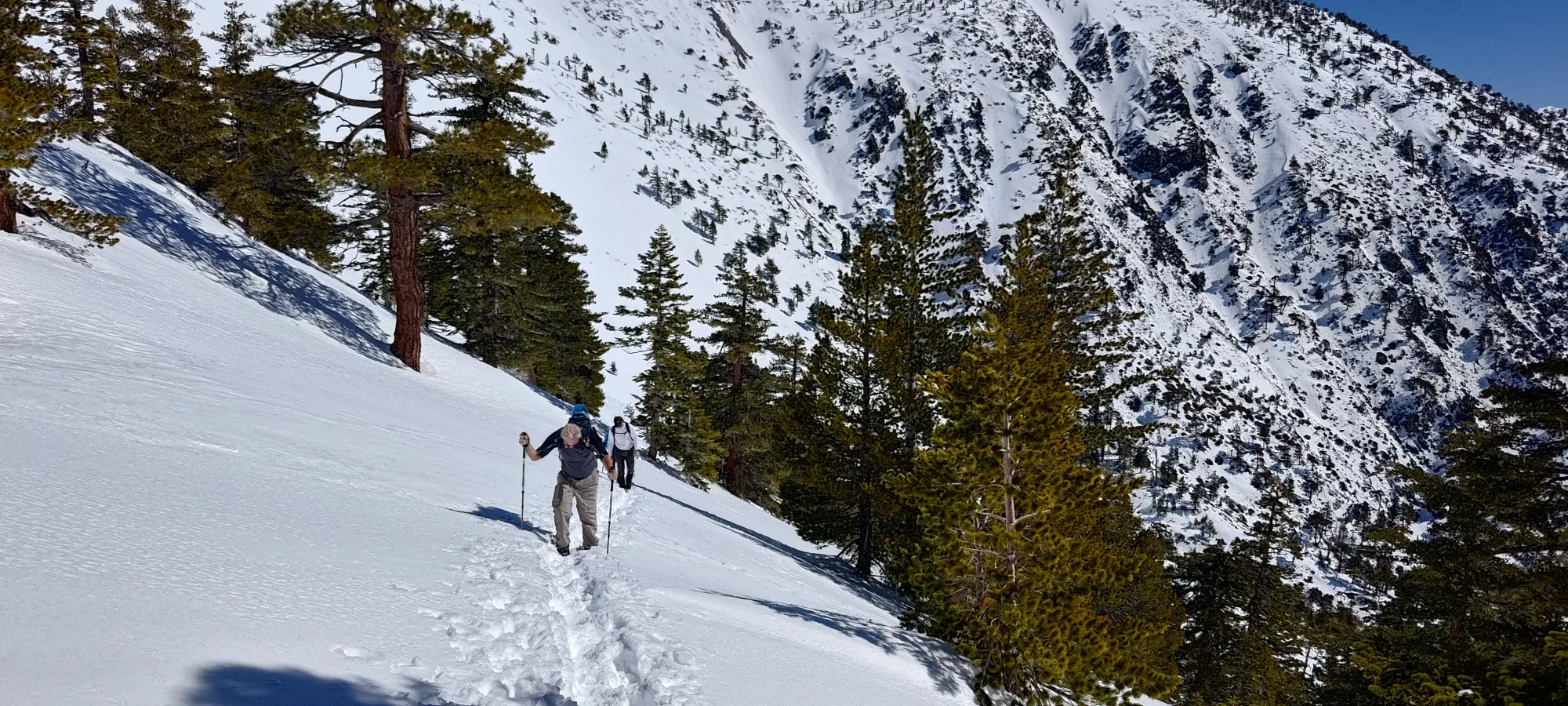
From 2300m to the Ski Hut (2500m), things didn't change much conditions-wise, I just kept walking up the trail rather uneventfully. I did start to pass people on their way up in this area though, which felt nice knowing I was both not going to be the last one up, and that I was moving fast enough to pass hikers with lighter packs (I was the only skier going up at the time). The hut served as a good place to take my first real break, where I chatted with a few people, some on the way up, others on the way down. Getting there took a bit under 90 minutes, which for about 600m of elevation gain felt like a pretty decent pace.
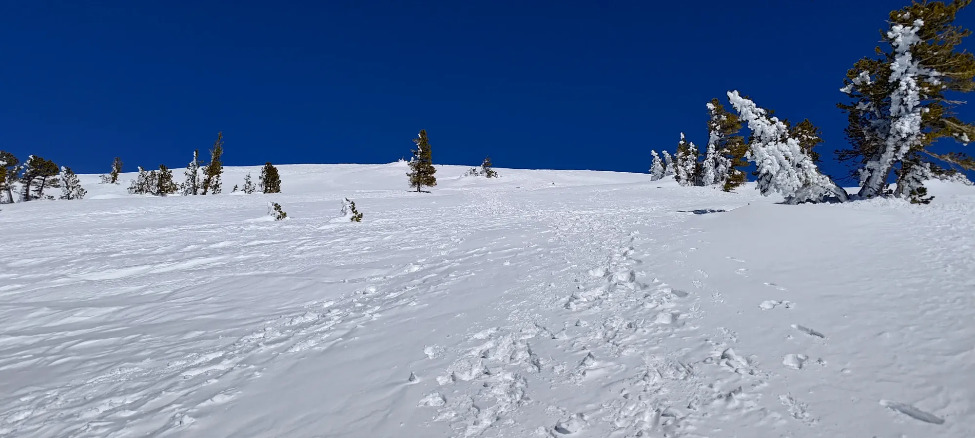
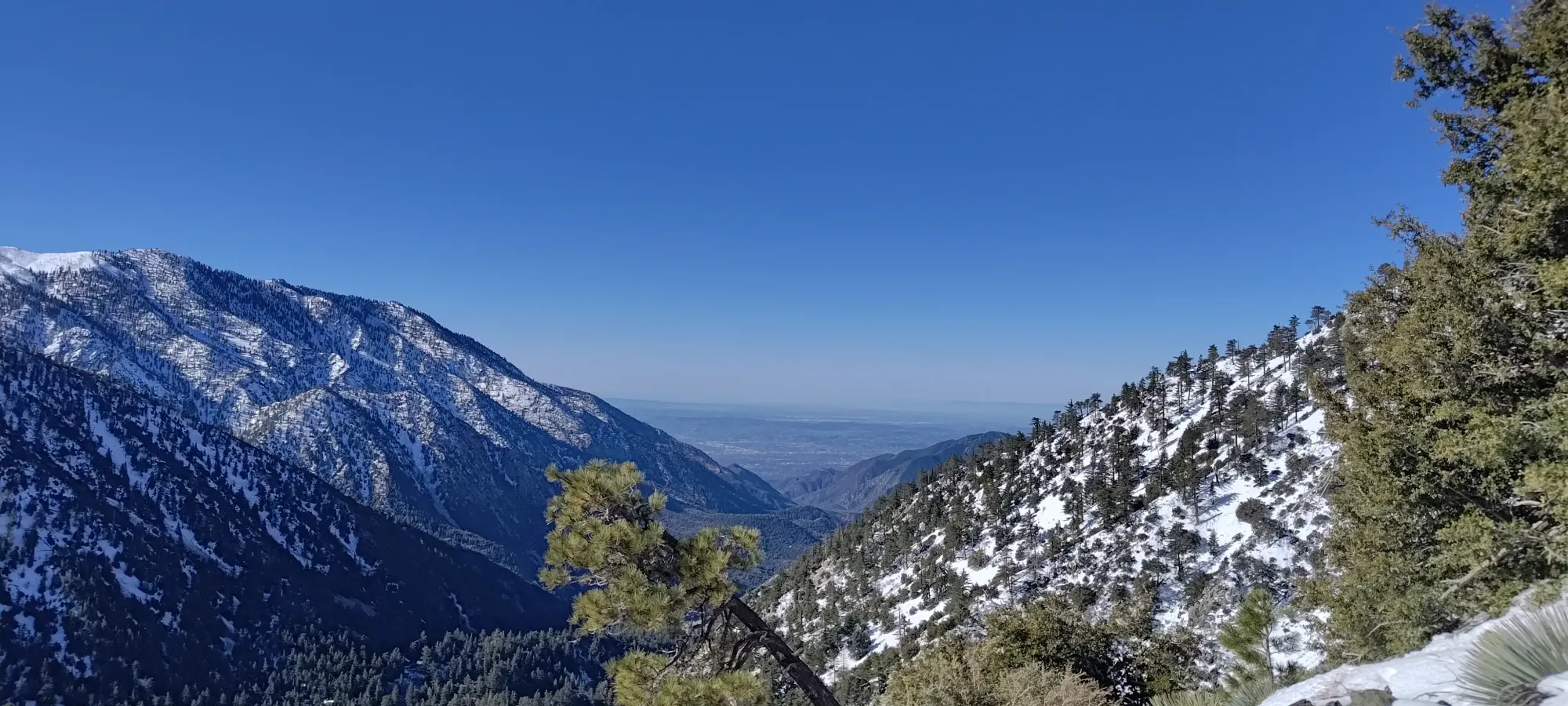
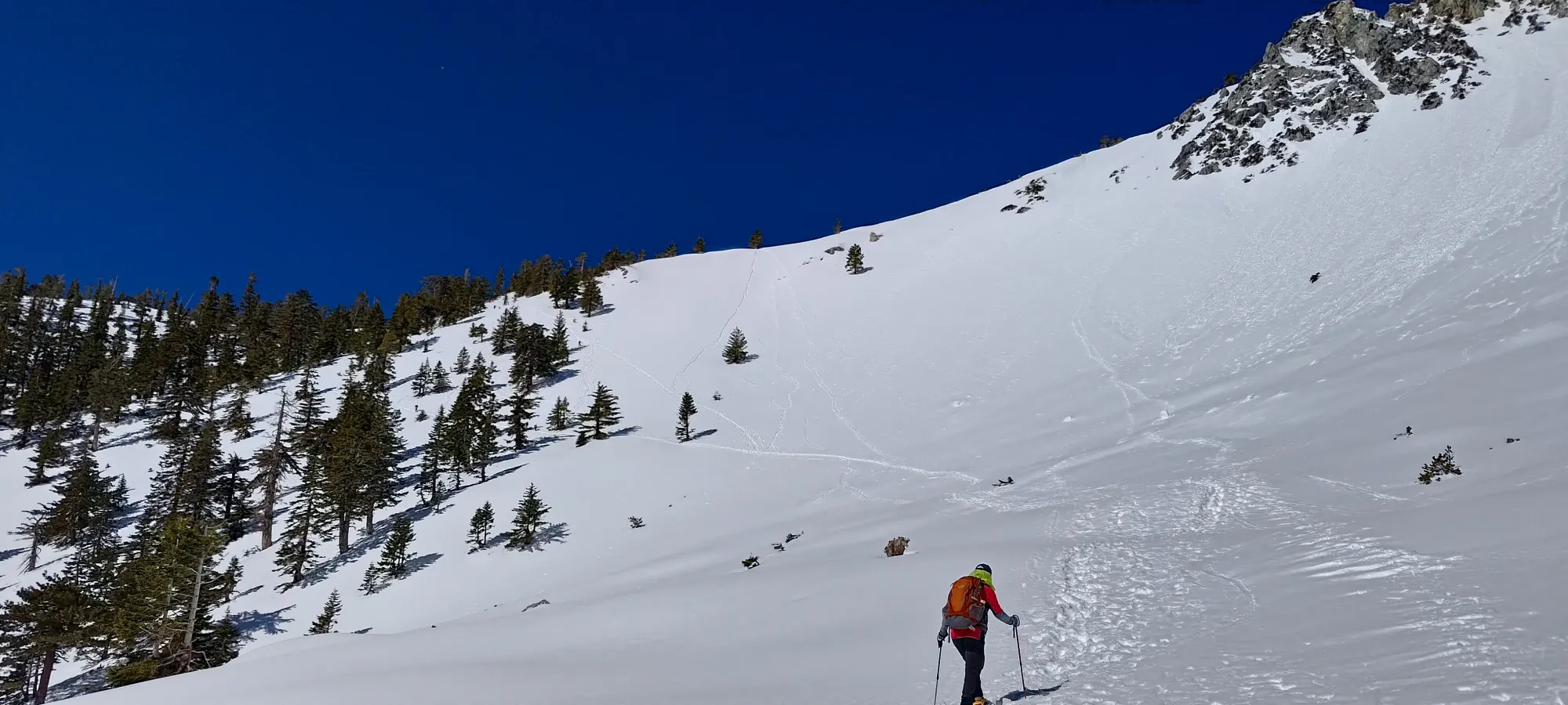
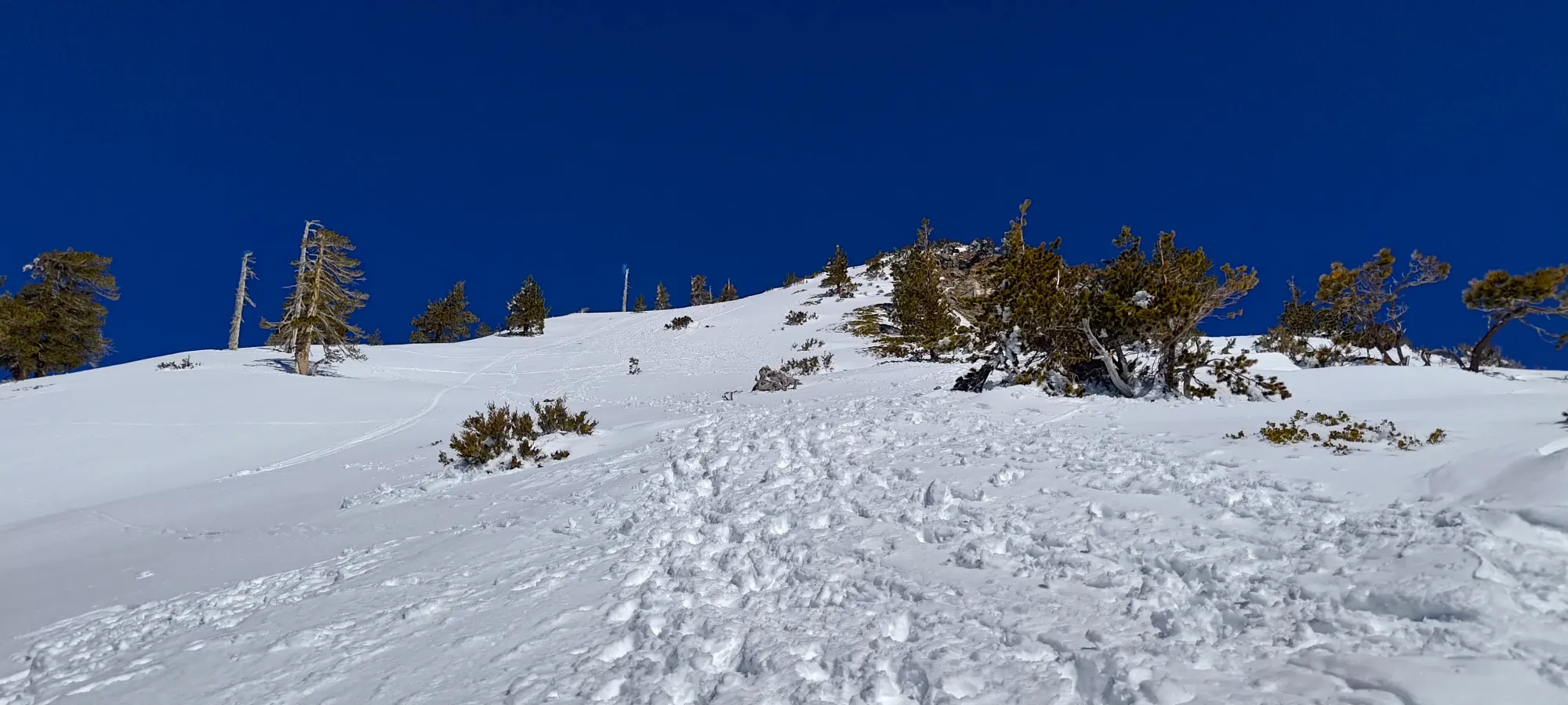
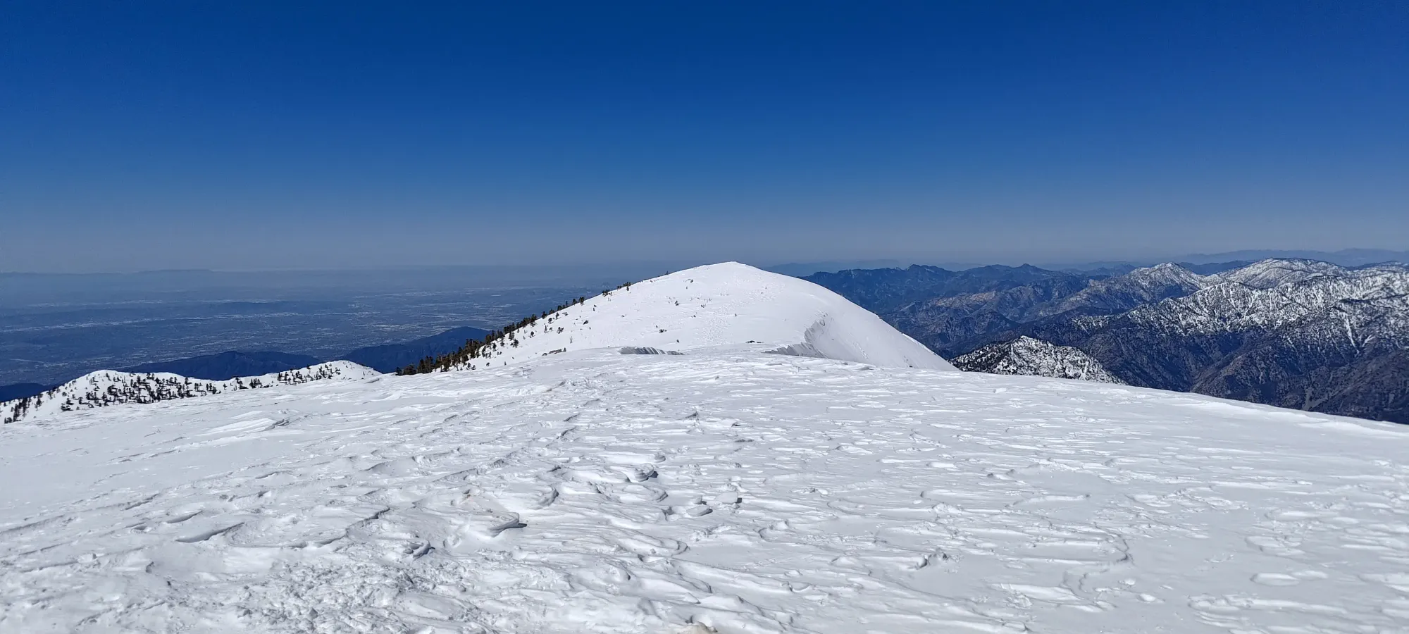
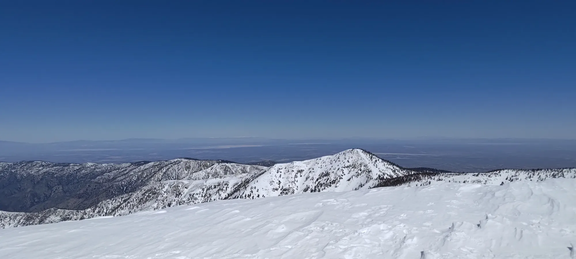
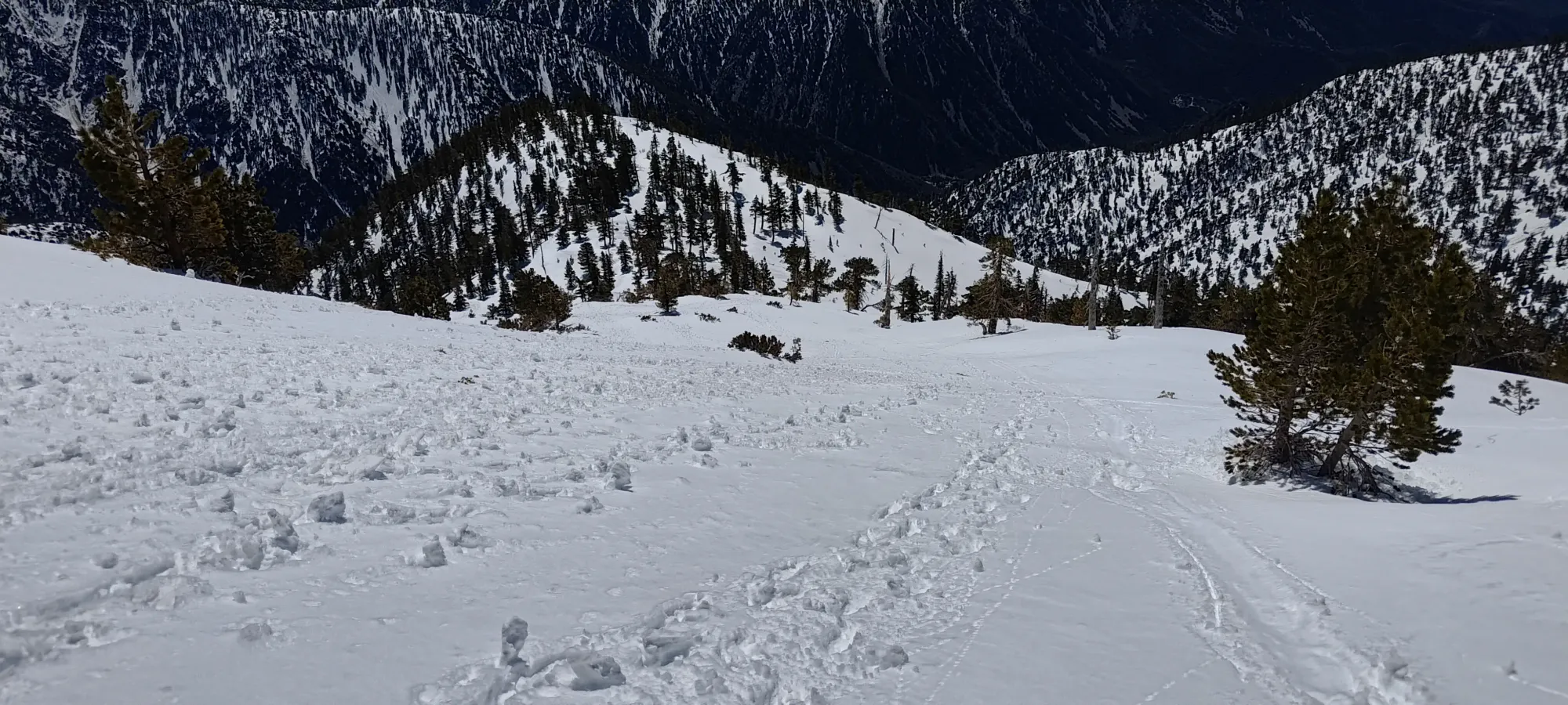
Once I left the hut, it was only a minute or two before I popped out at the bottom of Baldy Bowl, which I have to say looked pretty dang great, I get why it's so popular. Great, open bowl skiing, some fun climbing/steep skiing lines in the rocks to climber's right, and overall good times. Sadly, with the heat I was feeling (I was sweating in baselayers only), I didn't feel comfortable trying the climbing routes up the steep guts, so I took the safer standard route across the bowl and up the south ridge instead of cutting up directly. The bootpack track that formed this was probably a bit closer to the runout of slide paths than it needed to be, but at the same time, there weren't any layers of concern, and I was happy enough to continue with the worst case being an unlikely wet slide taking me off my feet into a safe deposition zone.
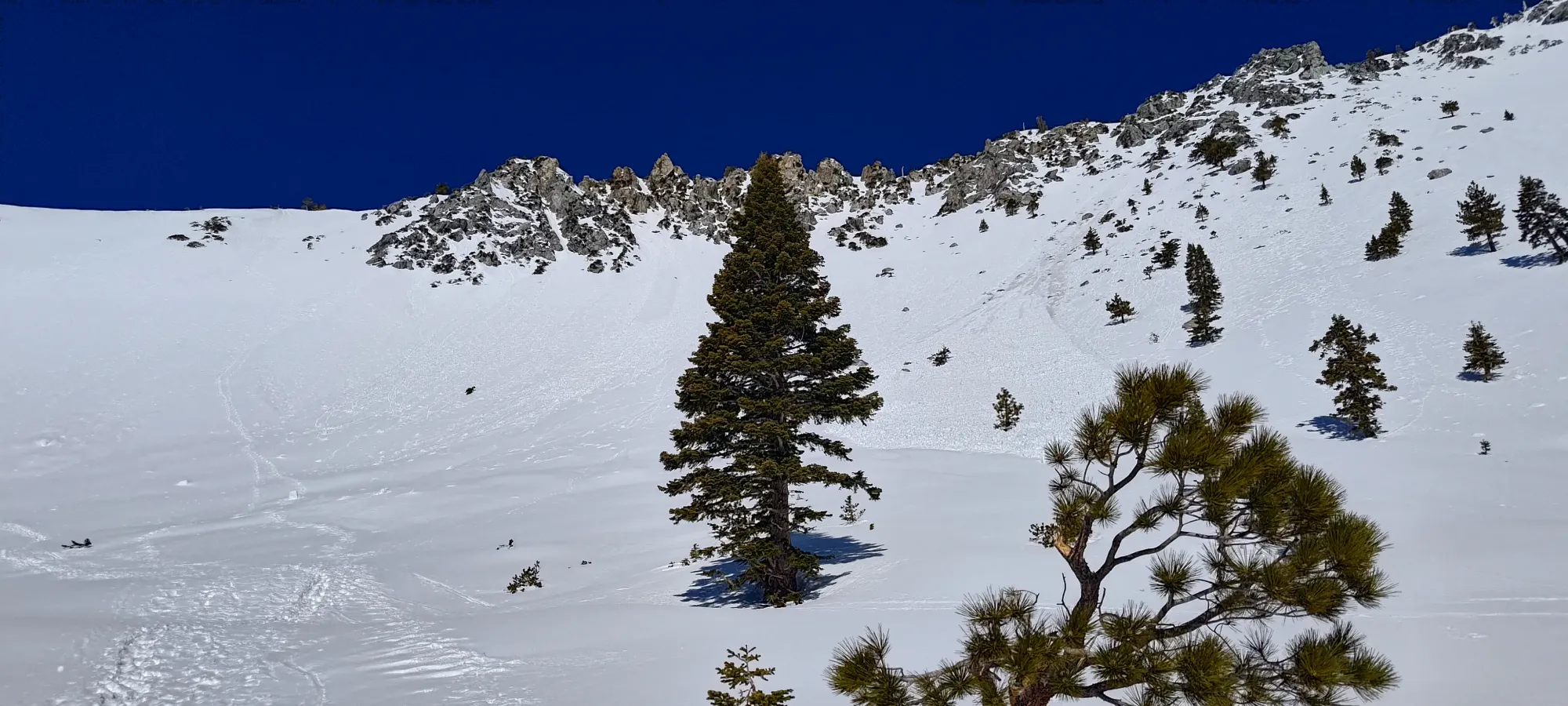
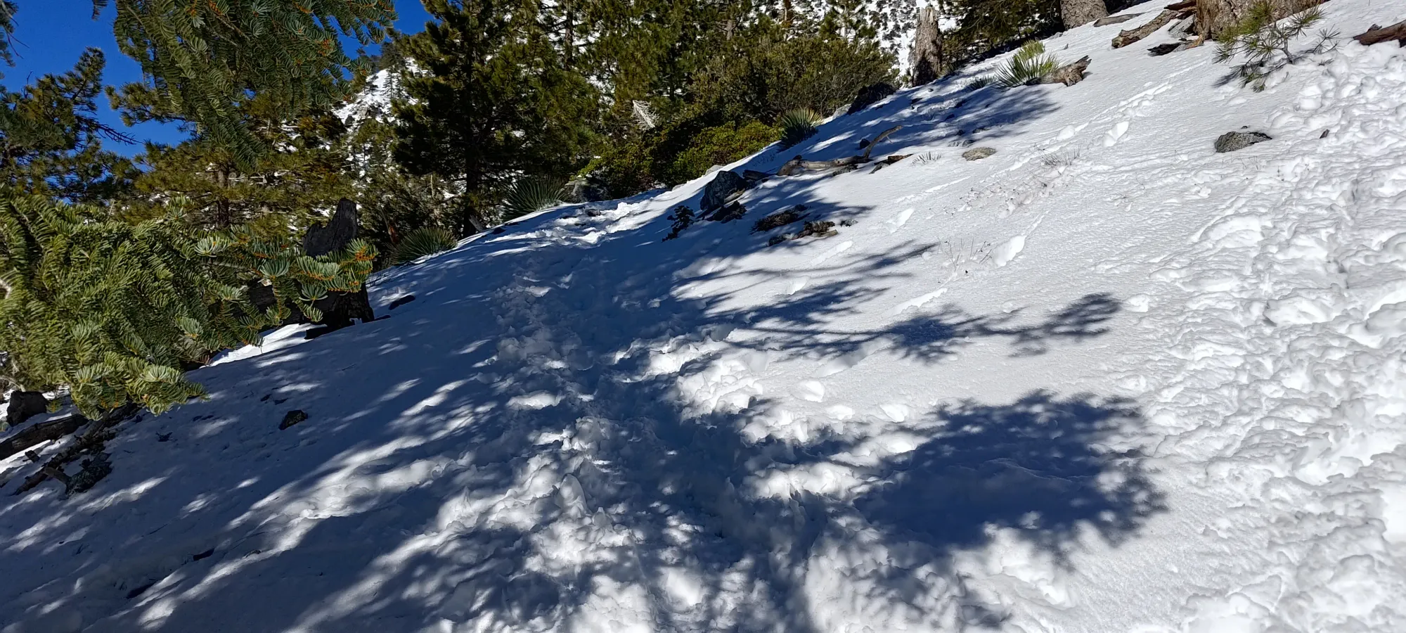
The bowl trudge was just more of the same stuff that I experienced in the forest, but with open terrain instead. The steps were still conducive to loafer-travel, so I started wondering if I could summit in them, which would be kinda funny given how many people I'd passed wearing double ice climbing boots, full crampons, with axes out. I guess this is a place where a lot of people go to test gear or something?? I can't imagine their feet were happy sweating away in double boots though...
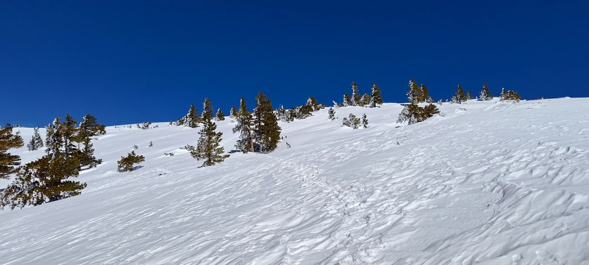
I got up the ~200m of elevation that one spends in the bowl proper using this route in about half an hour, getting onto the ridge at about quarter after 10, with 350m or so left to gain to the top.
Once I got onto the ridge, the trail was still excellently broken, was basically the same grade, and otherwise was generally pretty same-y, so I just continued walking up, now ruing myself for bothering to pack skins, ski crampons, crampons, an axe, and all that other gear I clearly wasn't going to be using 😅. I guess it made for good weight training at least.
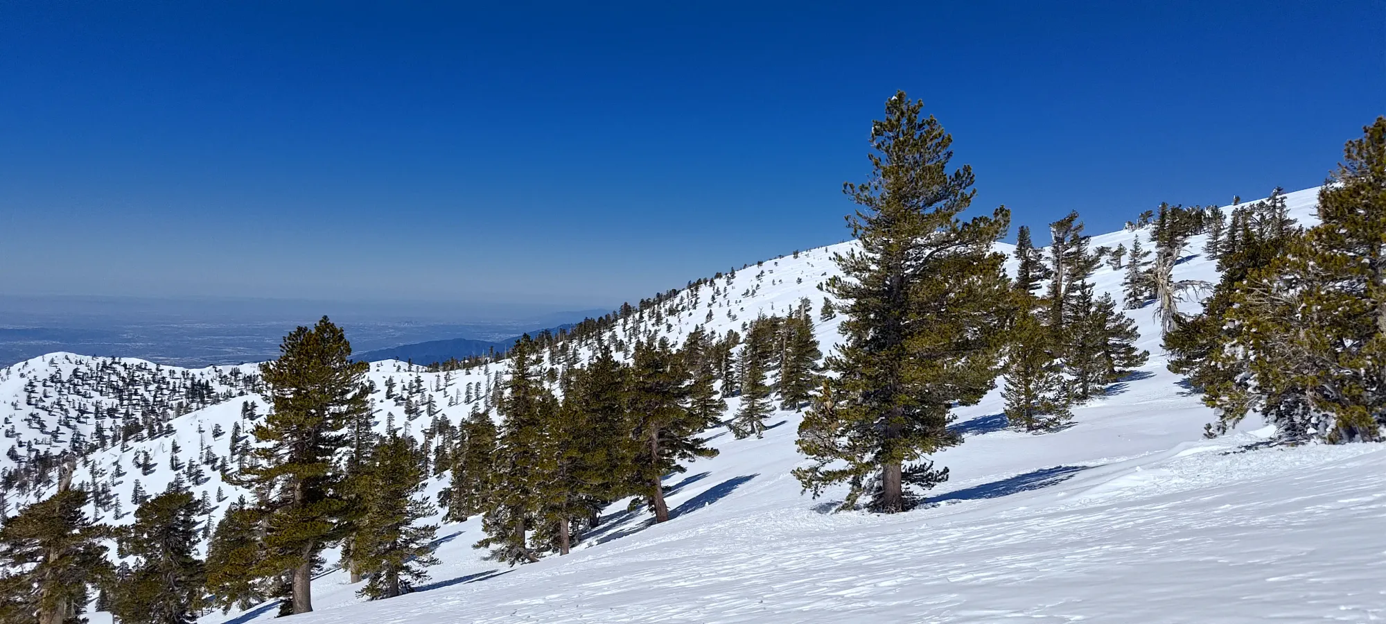
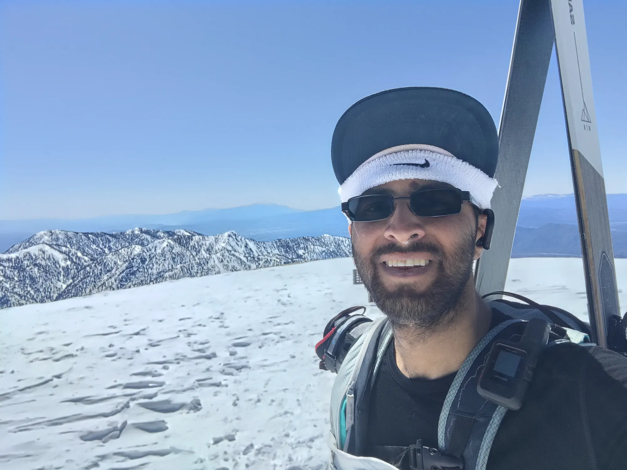
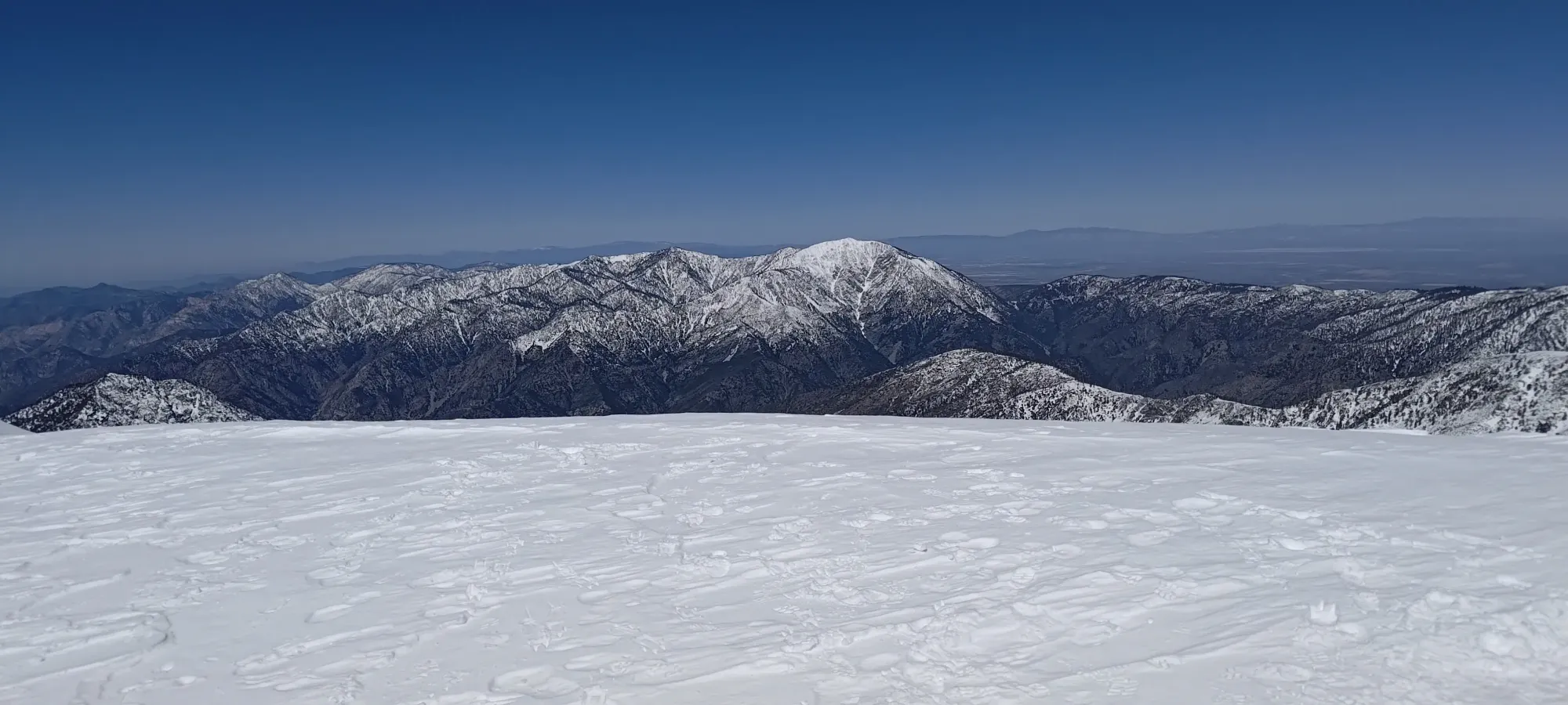
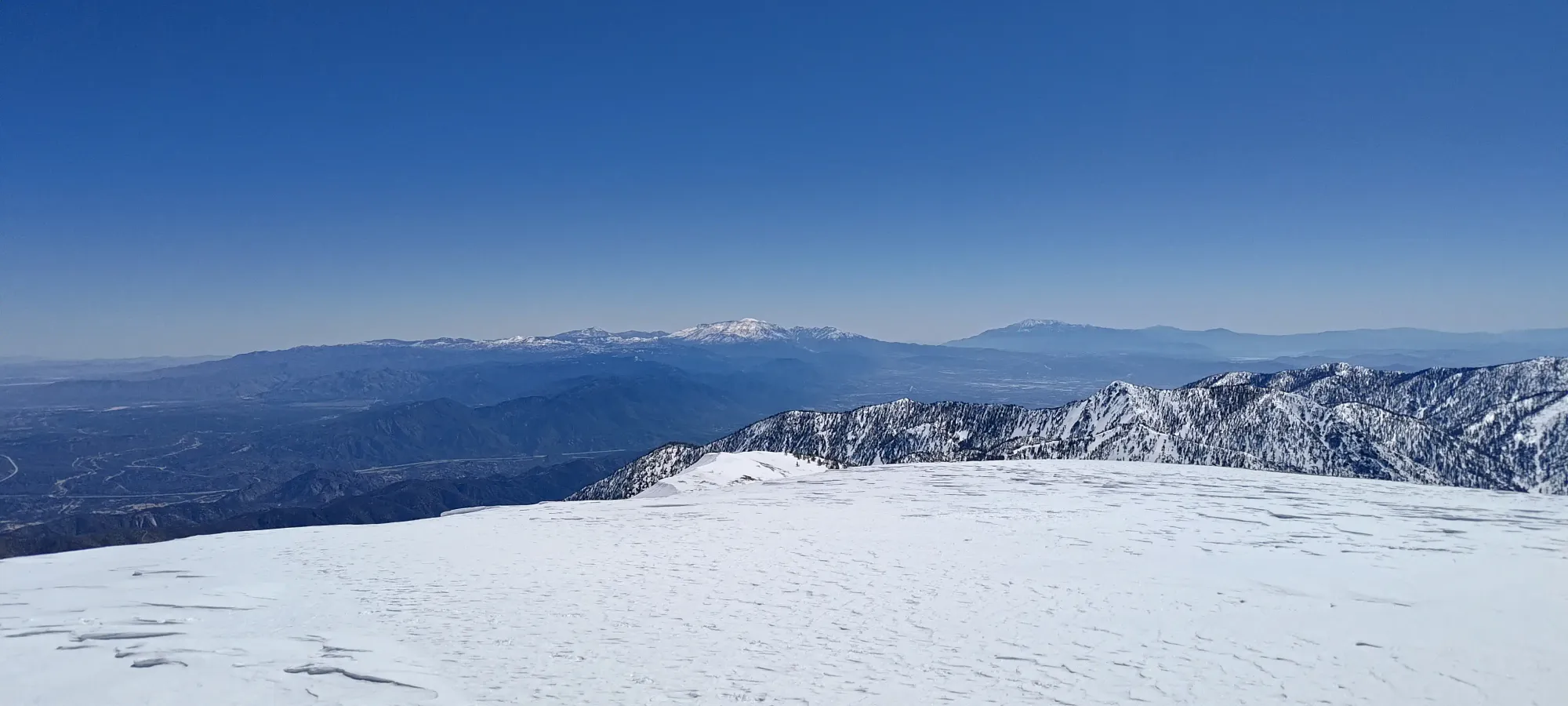
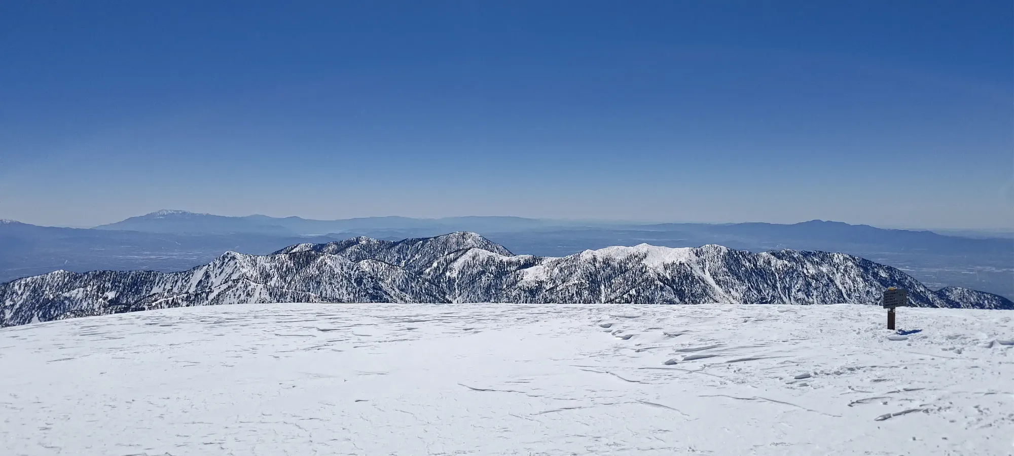
I saw a few more parties coming both up and down here, including one local I talked to for a few minutes who gave me some beta on ways to ski out into the resort, though I didn't feel any particular need to try anything other than the way I came in for simplicity's sake. Otherwise it was just walking up for an hour, without much else to it. I summited just over 3 hours into the day. Despite all the people I saw coming up/down, I was alone on the summit the whole time, and took things casual taking pictures, getting my skis off, and getting my shells back on for the descent.

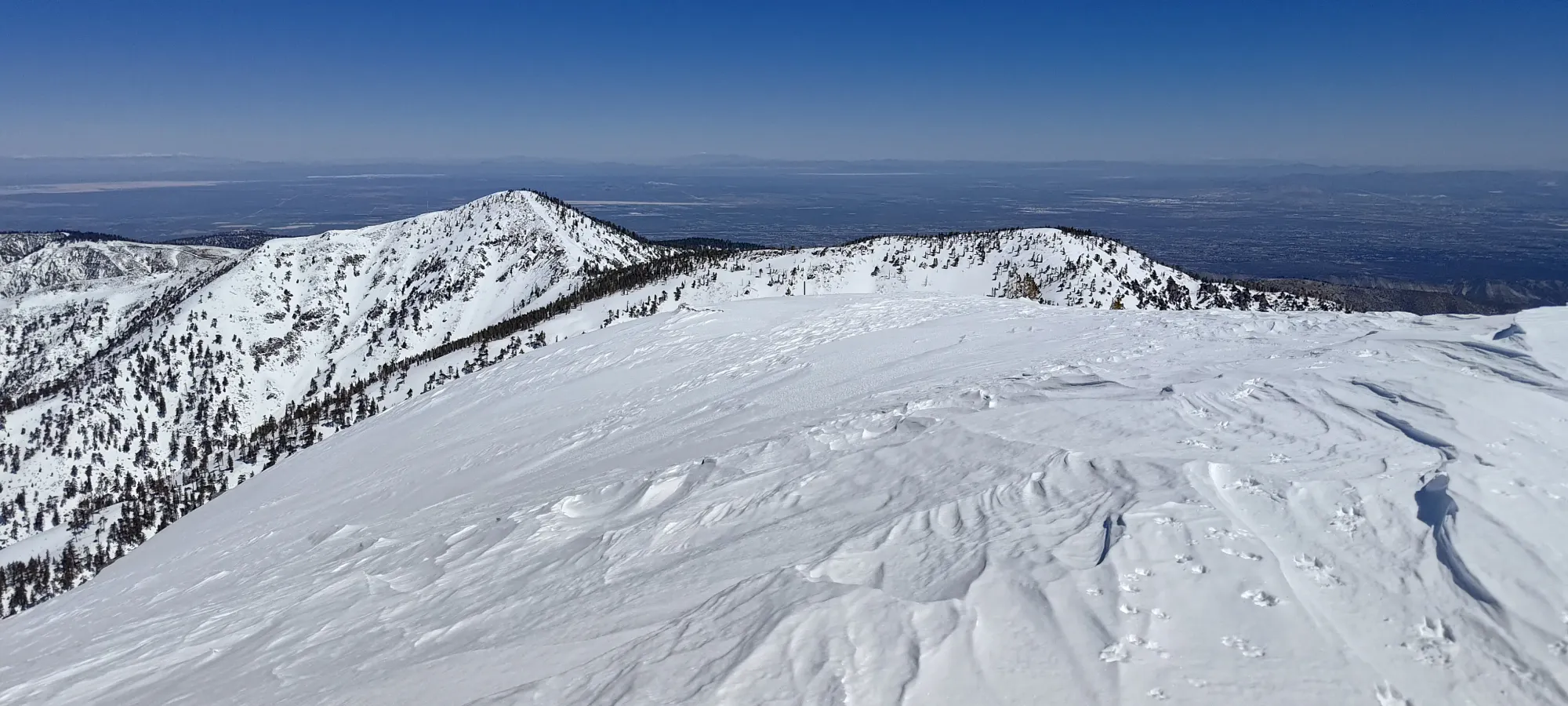

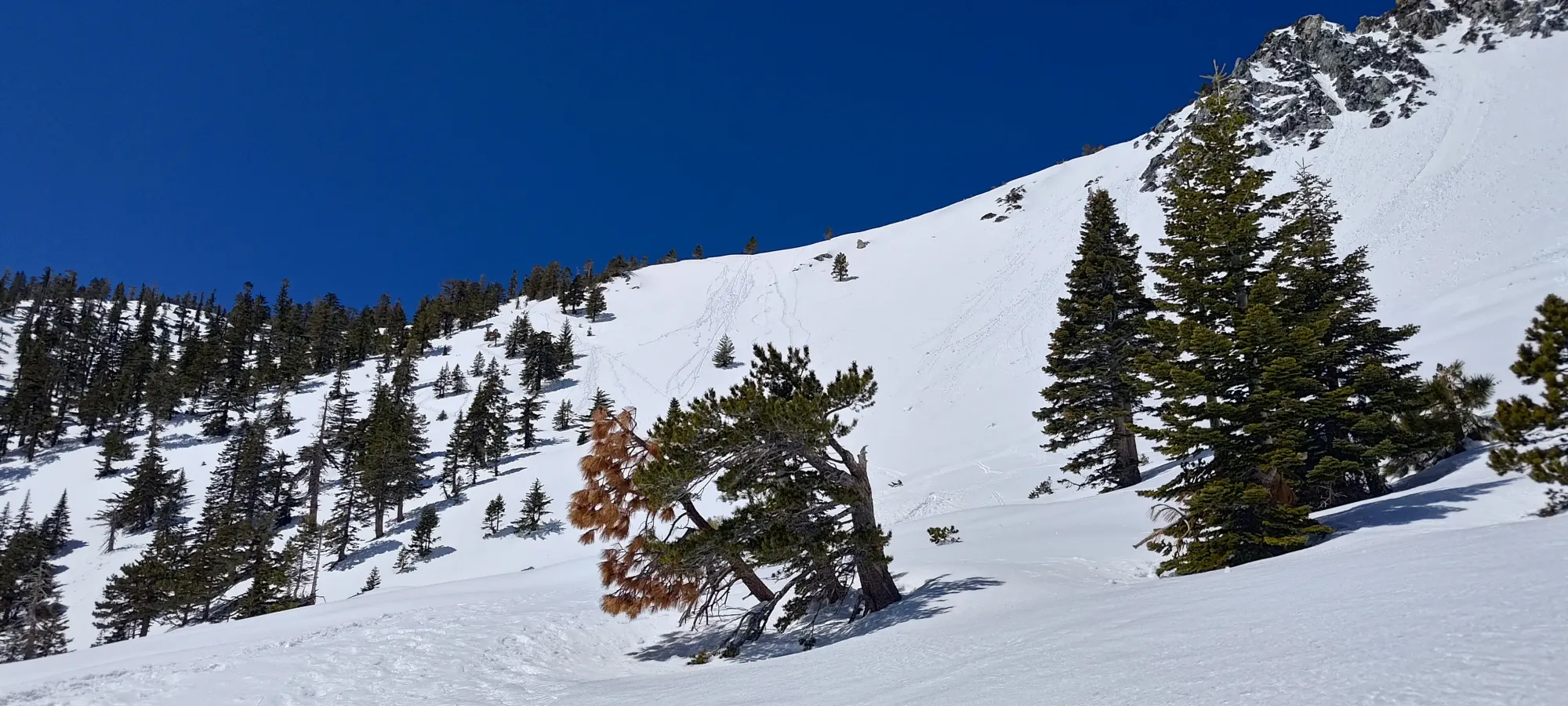
After getting my gear swapped to ski mode, I started heading down at 11:40, which was later than I was hoping, but to my great surprise, wasn't actually too late for good snow! The broad south ridge offered excellent, chill terrain, and the snow was still cold enough to provide sublime corn skiing without being sticky! It took a whole 5 minutes to get down to the top of the bowl (where I came up around 2700m, specifically, since I didn't want any overhead hazard of rocks, or thinner snow in protected areas to start a wet slide), with many jealous looks from climbers who were anticipating the slow way down 😄.
As I got to the ridge crest overlooking the bowl, I ran into a guy named Kevin who also happens to write up his trips (though he is a diver, primarily). We chatted for a bit, and he decided to film my descent so the entire world could see my terrible skiing form. Naturally, I decided to send it a bit harder than usual, and wiped out halfway in a wet spot 🤣. Thankfully I stopped pretty fast so I could still enjoy the rest of the way down, which was fantastic.
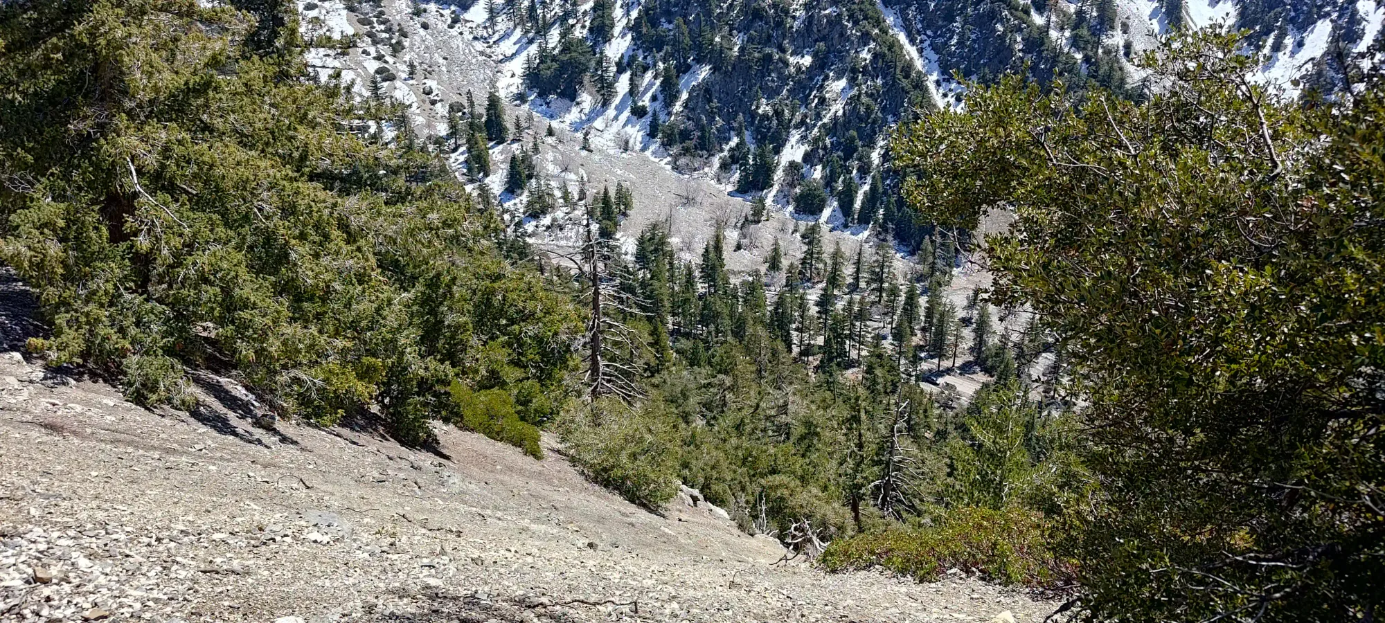
Once I got to the hut (make sure to stay high once the bowl flattens out to avoid needing to walk), I talked to some girls who were going only to the ski hut for about 10 minutes, then I started picking my way down the shark field that was the area below the hut. I forced my skis to endure 15 minutes of abuse getting me down to just above 2300m (a few sections of which I had to de-ski for anyways) before I finally said enough is enough, and packed the skis up to start booting down.
From that point, it was a simple half-hour walk back down the trail. I did it all in my ski boots, mostly because I was too lazy to take my pack off, put my boots into the bindings, and swap shoes just for a couple kilometres of snow-free travel. Turns out when I wiped out in the bowl, the shoes I had strapped to my pack got wet+snowy anyways, so it was the right call regardless!
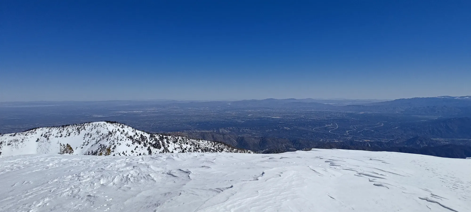
That final walk was about half an hour long, bringing the car-to-car time to just over 4:45. Given the generous breaks for random chit-chat, that's a time I'm pretty happy with overall, a very productive pre-work objective if you're in the area! I definitely do recommend doing it on skis, the terrain is super nice. If you can get a lower snowline for it, and start earlier, that's even better. Plus, you know, ultra 😀
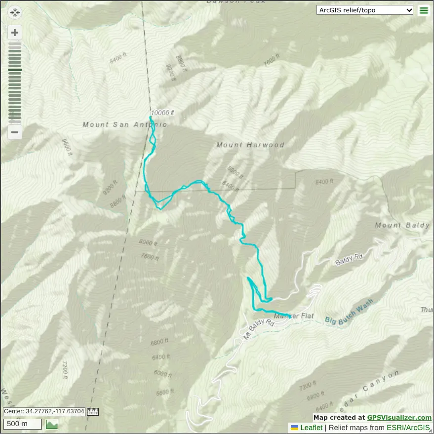
GPX Track + Map