Mount Burke - May 6 2024
A small, forested bump on the southern slopes of Coquitlam Mountain, best combined in a trip with High Knoll to the east for a trashbag double

Coquitlam Ranges, Coquitlam, British Columbia
249m
After bagging "High Knoll", the p100 just east of Mount Burke, I had around an hour to kill before I had to leave for my appointment that brought me to Coquitlam in the first place. So, I decided to clean up the little bump that people had decided should have a name and be on peakbagger, and headed for this "peak".
The original plan was to go up in one trip combined with High Knoll, but the route I wanted to use was on private property, specifically a gun range, so I did not feel like testing that. Instead, I drove down to the top of Calgary Drive, parked at the end of the street (seems to be permissible, at least for now), and took the old road which is now a trail that goes up the south+west flanks of the peak. I got started just before 1pm, with clouds that made it impossible to know if it was going to pour or be a pleasant, dry walk overhead.
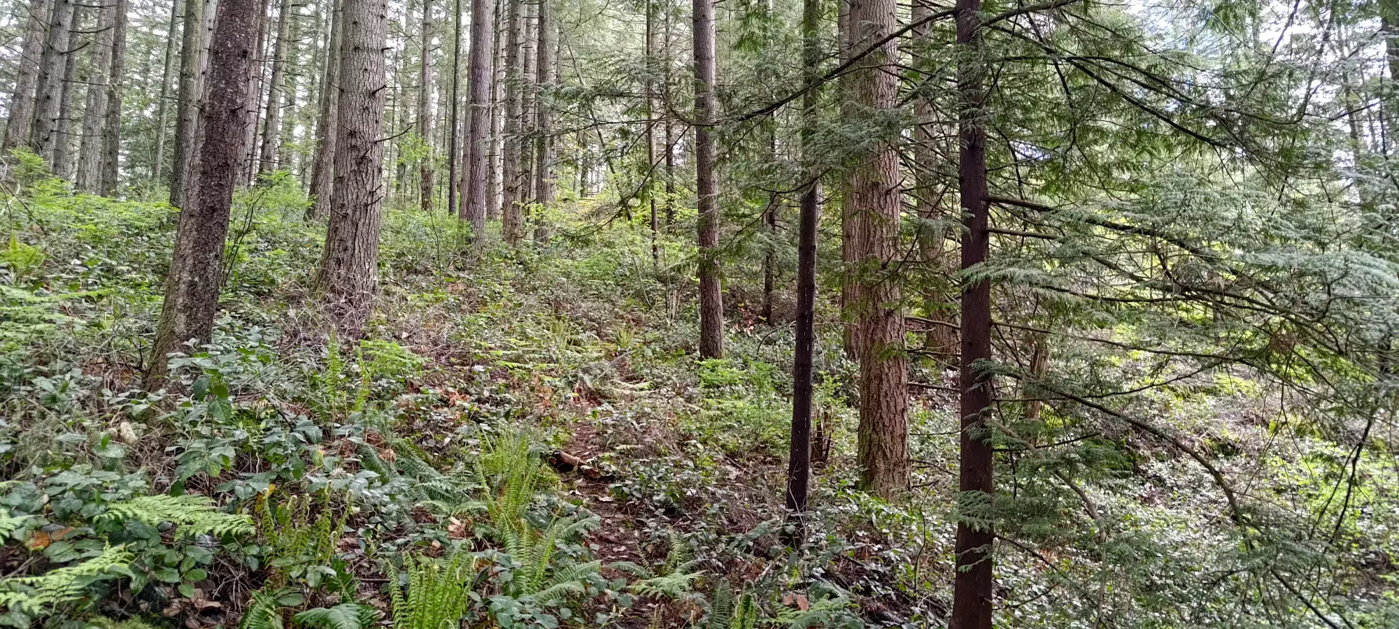
The trail climbs steadily from 40m to about 115m, where it hits a t-junction, at which I decided to go left, as the trails to the right seemed to be smaller on my map, and also more circuitous. I did my best to keep a good pace here to keep the workout going, and managed to get up at about 10m/minute (elevation-wise).


The road traverses west to about 150m, where it forks again, although this time the choice was very simple, "go up or go down", so I chose to turn right and head uphill. There are a few sections of this road which are fenced on the side, presumably for the gun range, so I wouldn't try shortcutting here, getting shot is not very fun, I hear. Nor is it by any means an inefficient road/trail, so it wouldn't benefit you to try anyways.
I managed to keep my vertical pace up to the 190m fork where there's a small, flagged trail that cuts up towards the summit from the road, which continues north to Burdett Creek. Make sure to turn hard right when you get here, as there's some open forest that seems somewhat trail-like you could walk into if you don't check further right and find the trail marker+trail that curve a bit southward.

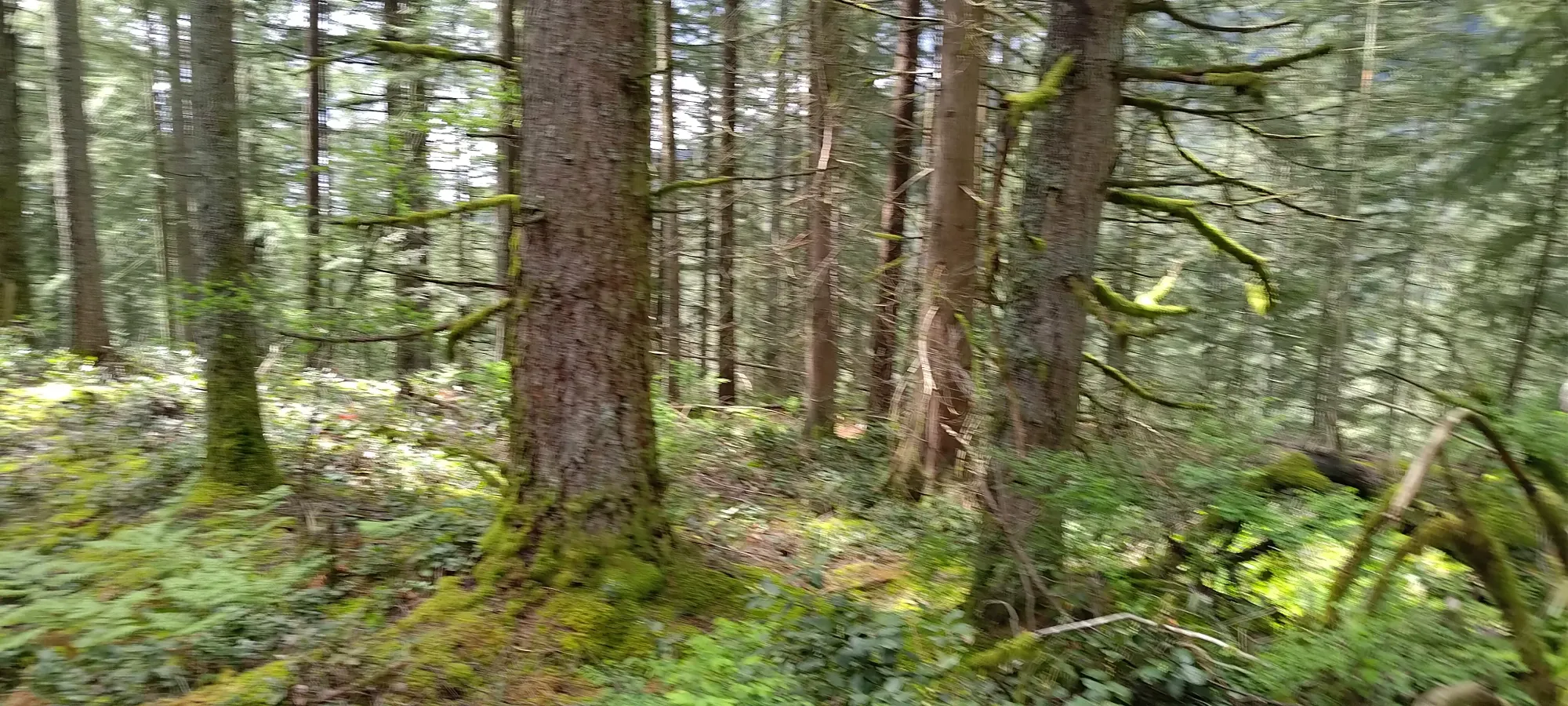
My pace, sadly, slowed down a bit in this section, especially as the trail continued up, as it gets progressively less defined, steeper, and generally "less nice". It was by no means a difficult hike, but the brush gets thick enough I was glad to have pants, as without, you may have to take care not to get scratched.
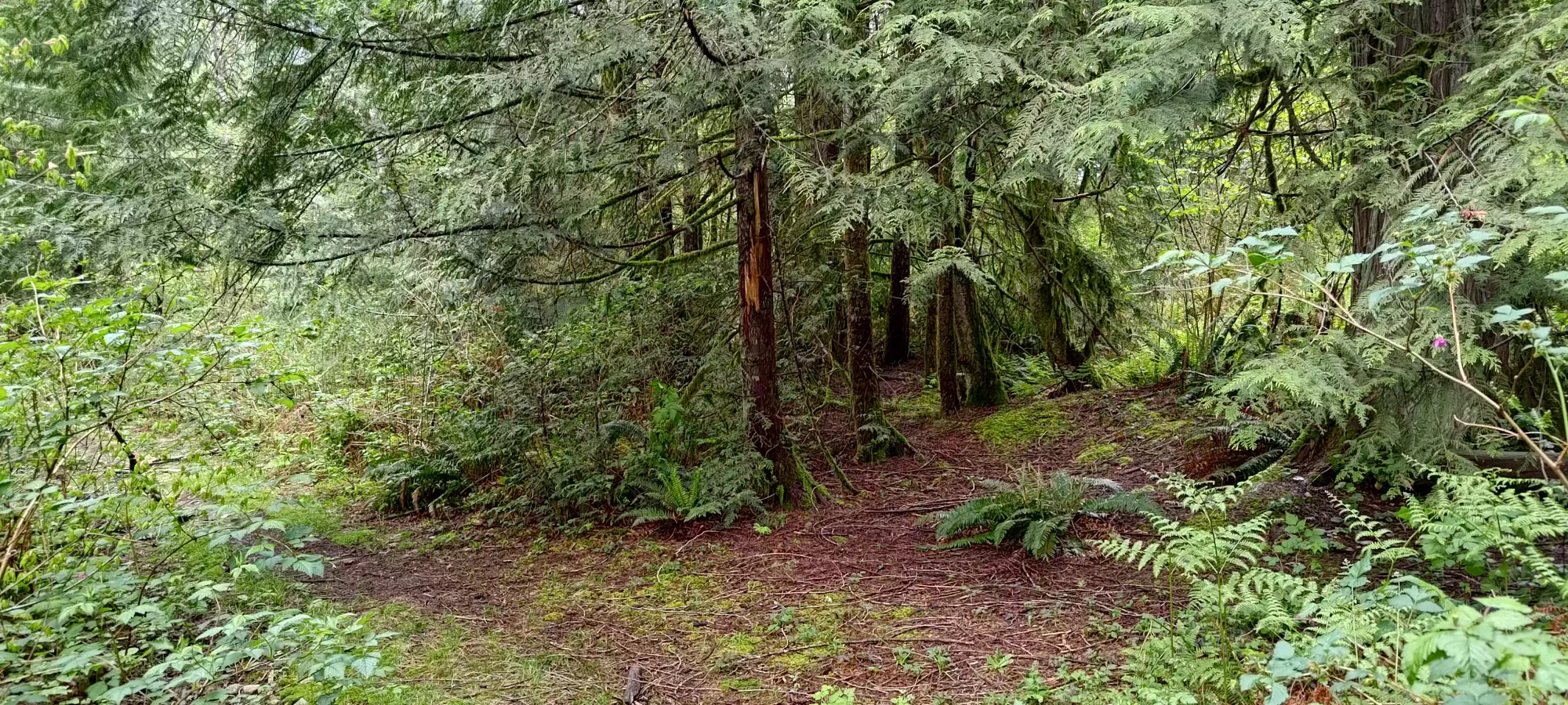
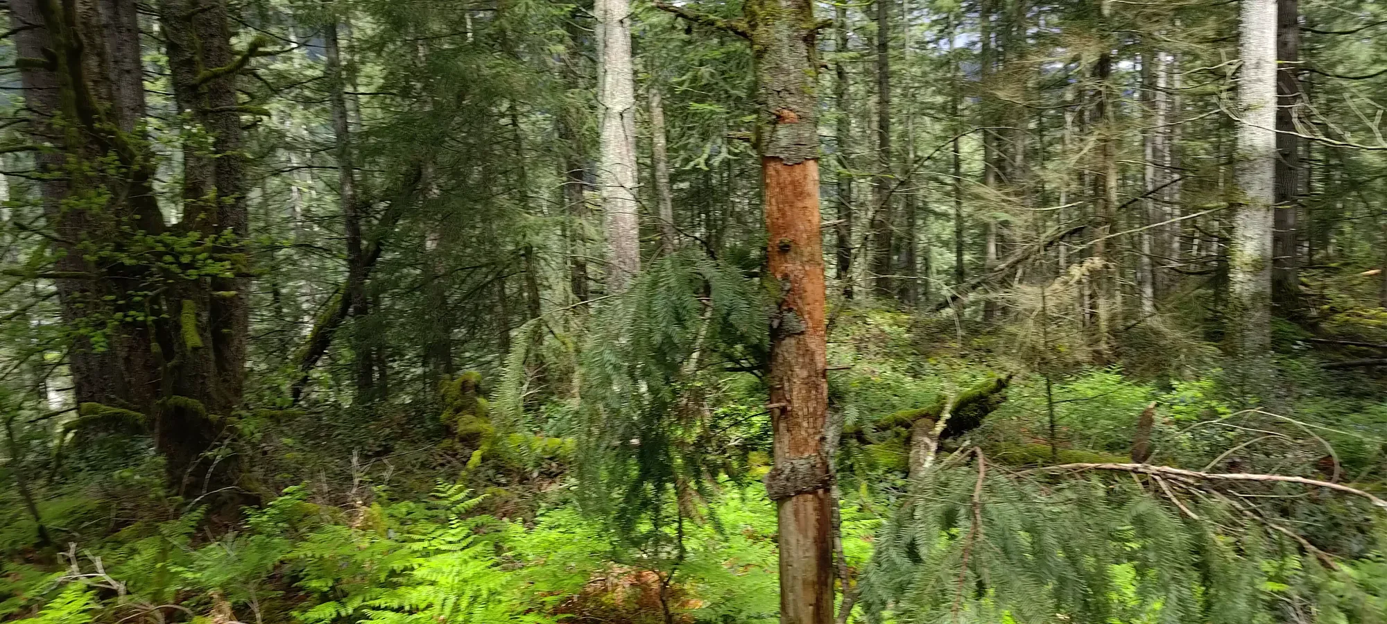
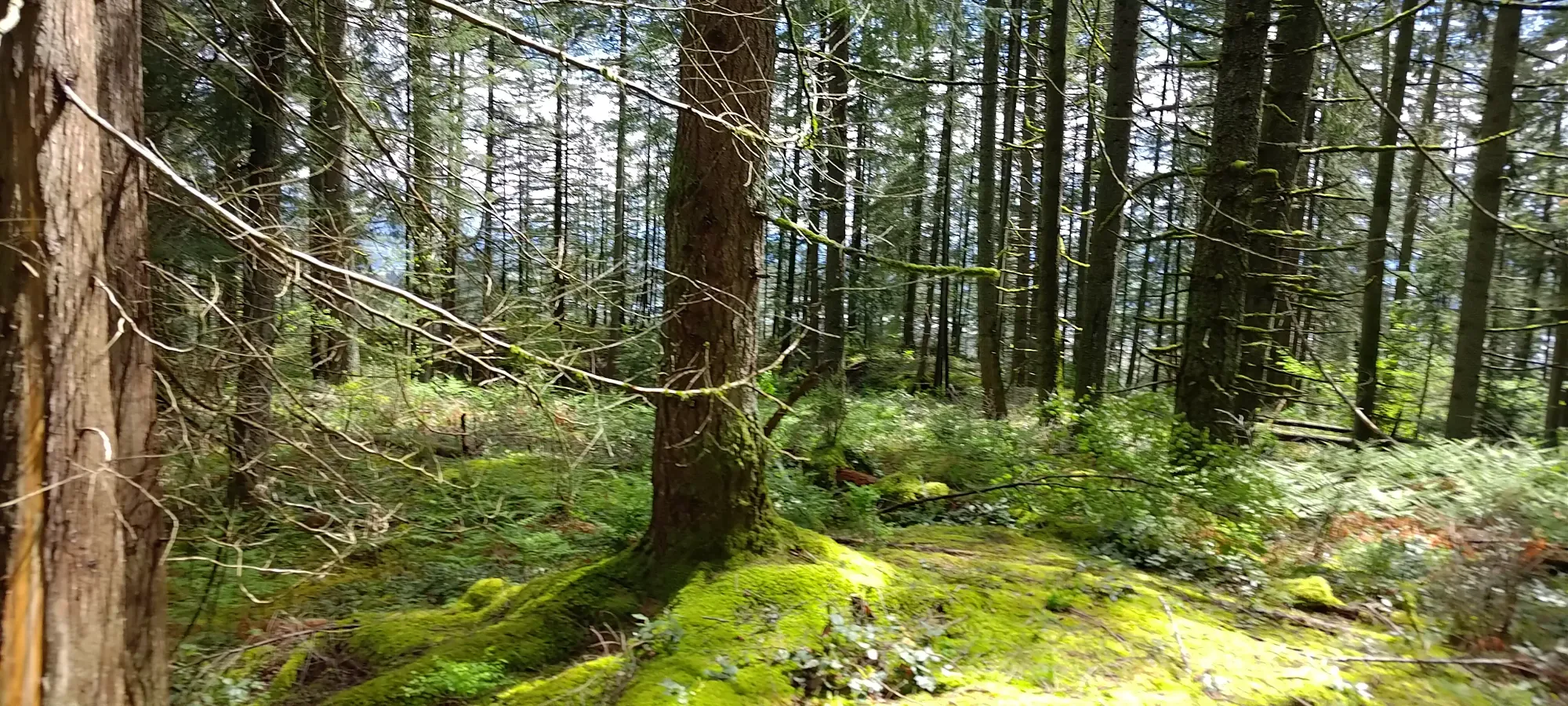
About 6 minutes after forking off the road I got to the southern/western viewpoint, which was rather underwhelming, so I just took a quick picture and scurried past towards the true summit. To do so, there are a few vague trails in the forest, but nothing really great, so just pick the best way towards the obvious high bump, and try not to trip on deadfall. It isn't super bushy and there aren't a ton of branches on the ground so it's really not too bad, plus it's quite a short walk over.

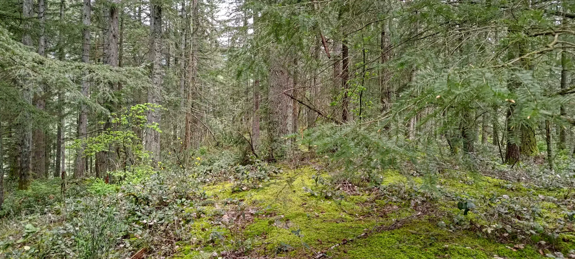
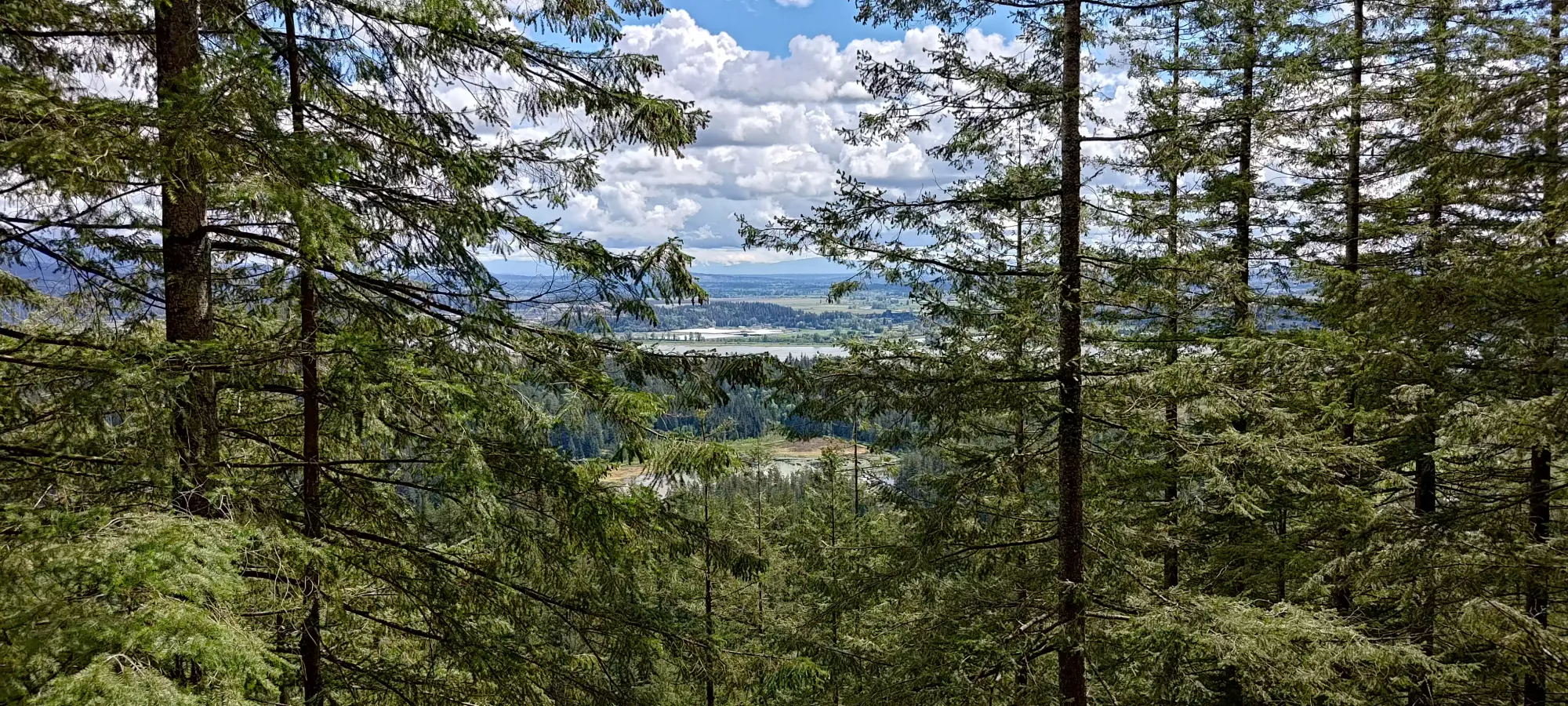
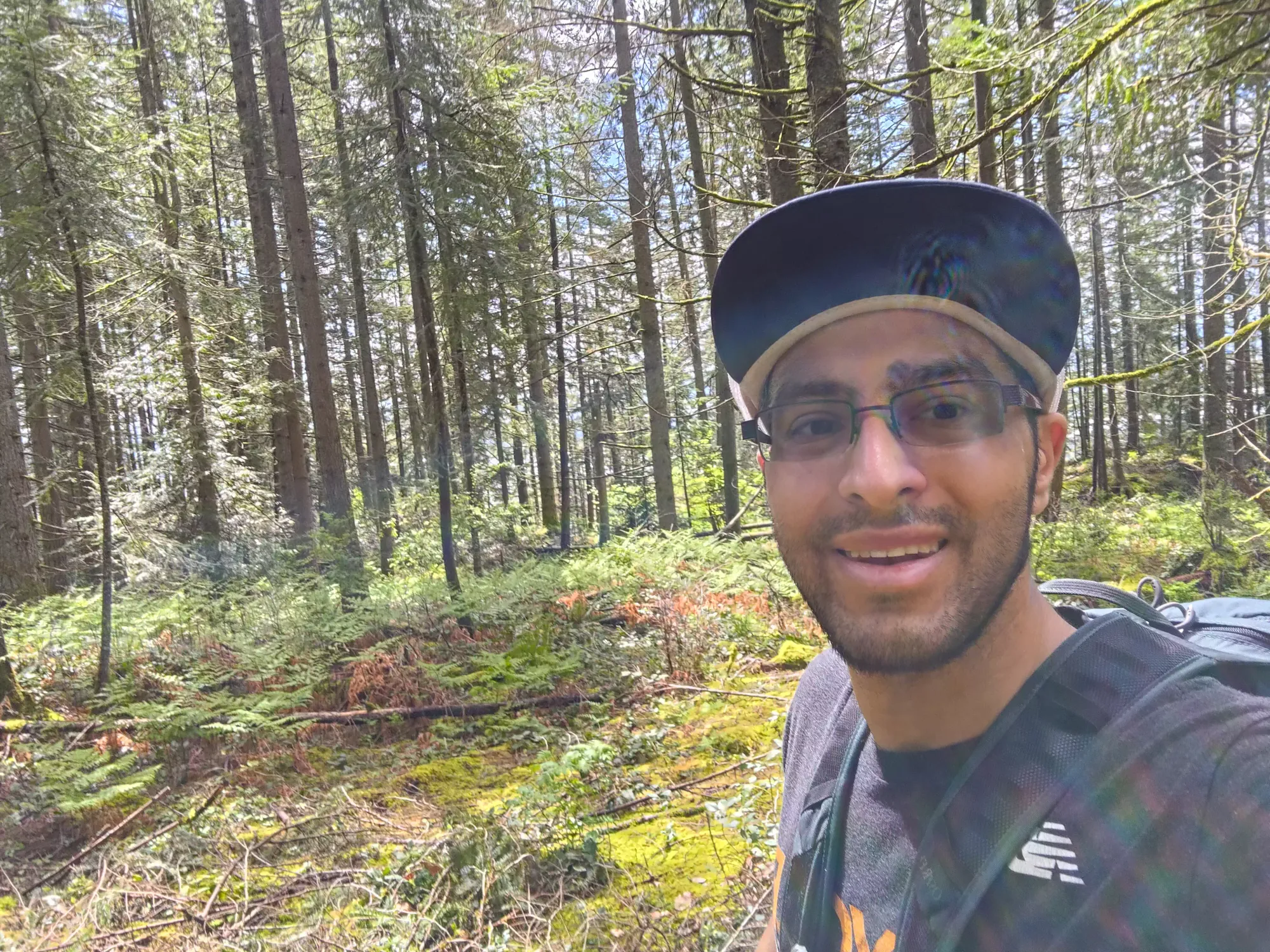
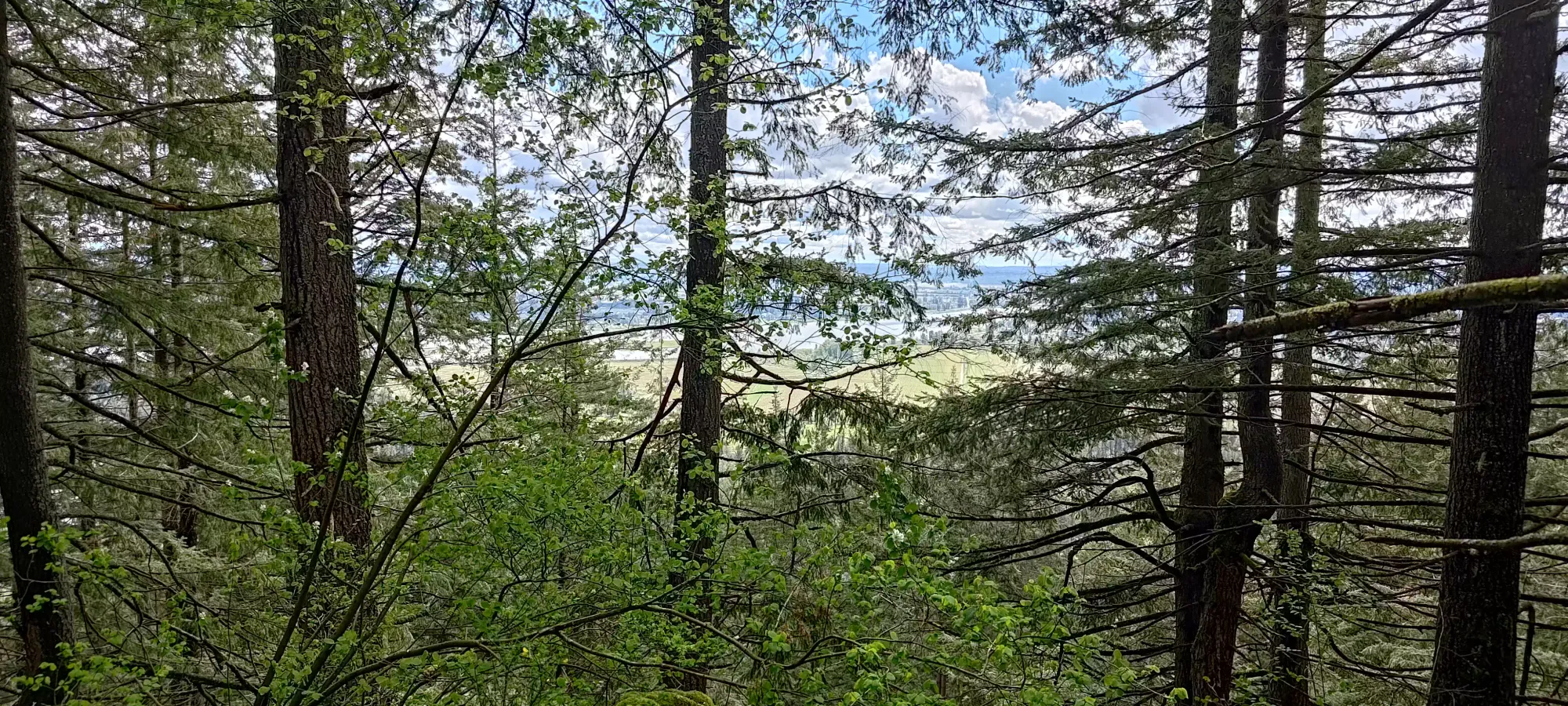
A couple minutes of hopping around the forest, and I got to the true summit, complete with even worse views than the aforementioned viewpoint! I took a few pics, then walked over to the "north/east" viewpoint for a decent look at the city before starting my walk back.

You might say these are terrible, blurry photos. I would ignore you and say "well the views didn't merit nice photos anyways" before huffing and walking away for totally unrelated reasons

On the way down, I spent a few minutes wandering around for the "viewpoint proper" on the southern side, and found a slightly worse version of what I'd seen earlier, so I'd recommend just skipping this entirely. Then, after a minute of wandering around looking for the hard-to-spot trail, I found it and started making my way down the steep dirt, happy to have my poles, as it was a bit slippery after the weekend's rains.
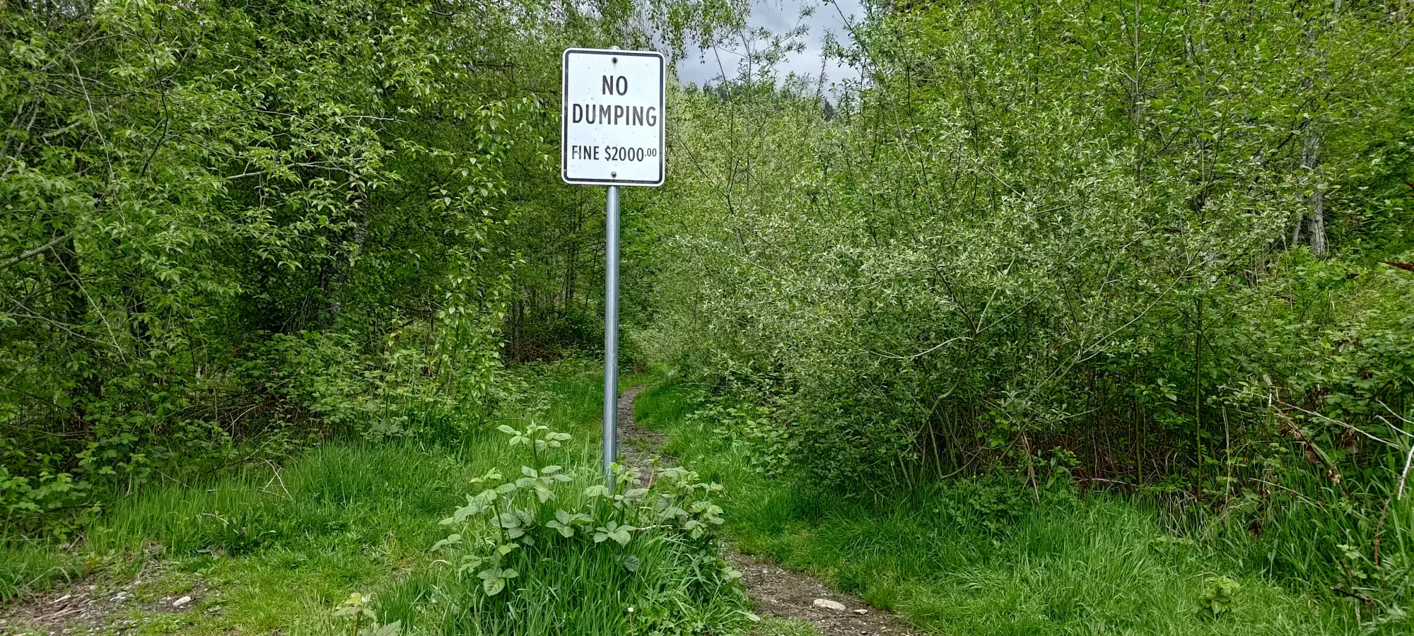
Getting down took about 20 minutes overall, with definitely no running this time, as my ankle was even less happy than it was on High Knoll. Well, more accurately, I think it was my calf that the injured ankle makes impossible to stretch, but same diff. I spared a couple seconds to admire the trashbag with a wine bottle beside it that I found a minute or two past the "no dumping" sign at the start of the trail (well done, random person), but otherwise I just packed up and got moving, as I wanted to grab some lunch before I was stuck attached to an IV for a couple hours.

Overall, I'd recommend this peak to locals and peakbaggers who have low standards, maybe 😅. It's fast and simple, but the prominence is pretty low (about 50m), there are no views to speak of, and if you take a wrong turn you might get shot, so there's not a ton going for it. Apparently my standards are that low, though, because I am saying all this after having spent 45 minutes of my life bothering to bag it 🙃
GPX Track + Map
