Tszil Mountain - April 22 2024
A low-prominence peak in the Joffre Group, but an excellent ski with a fairly simple approach and consistent downhill terrain all the way down to the lake

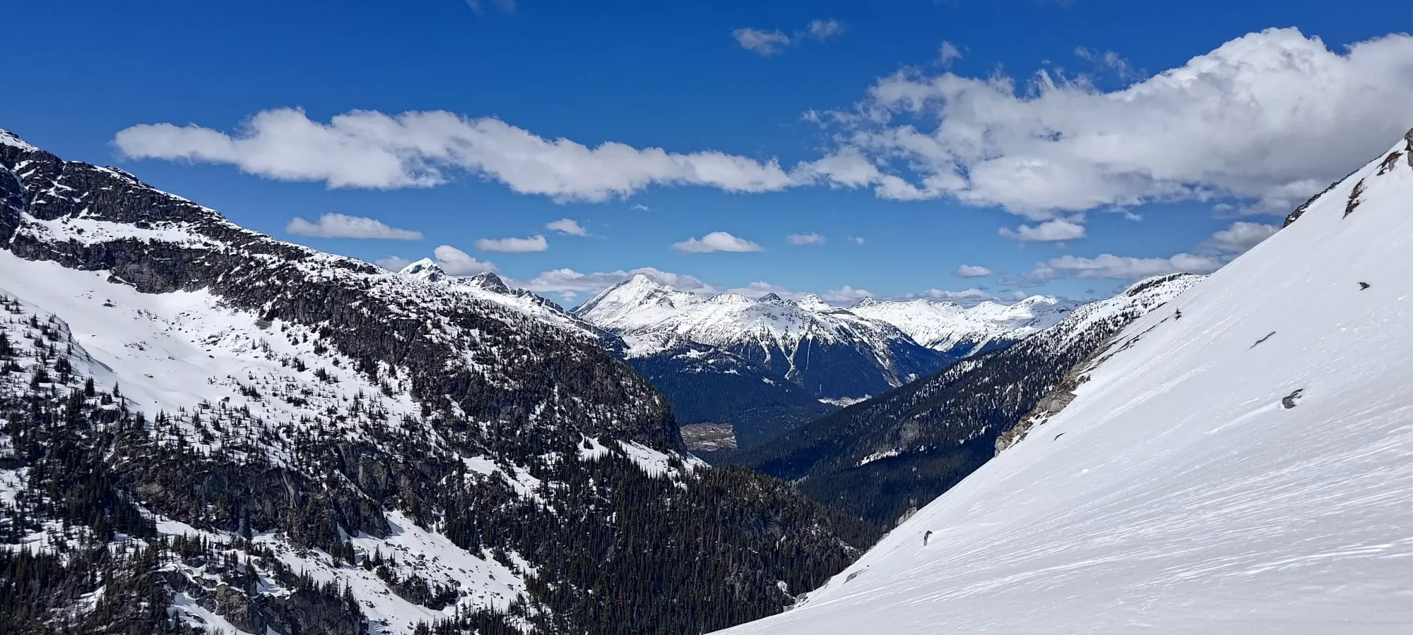
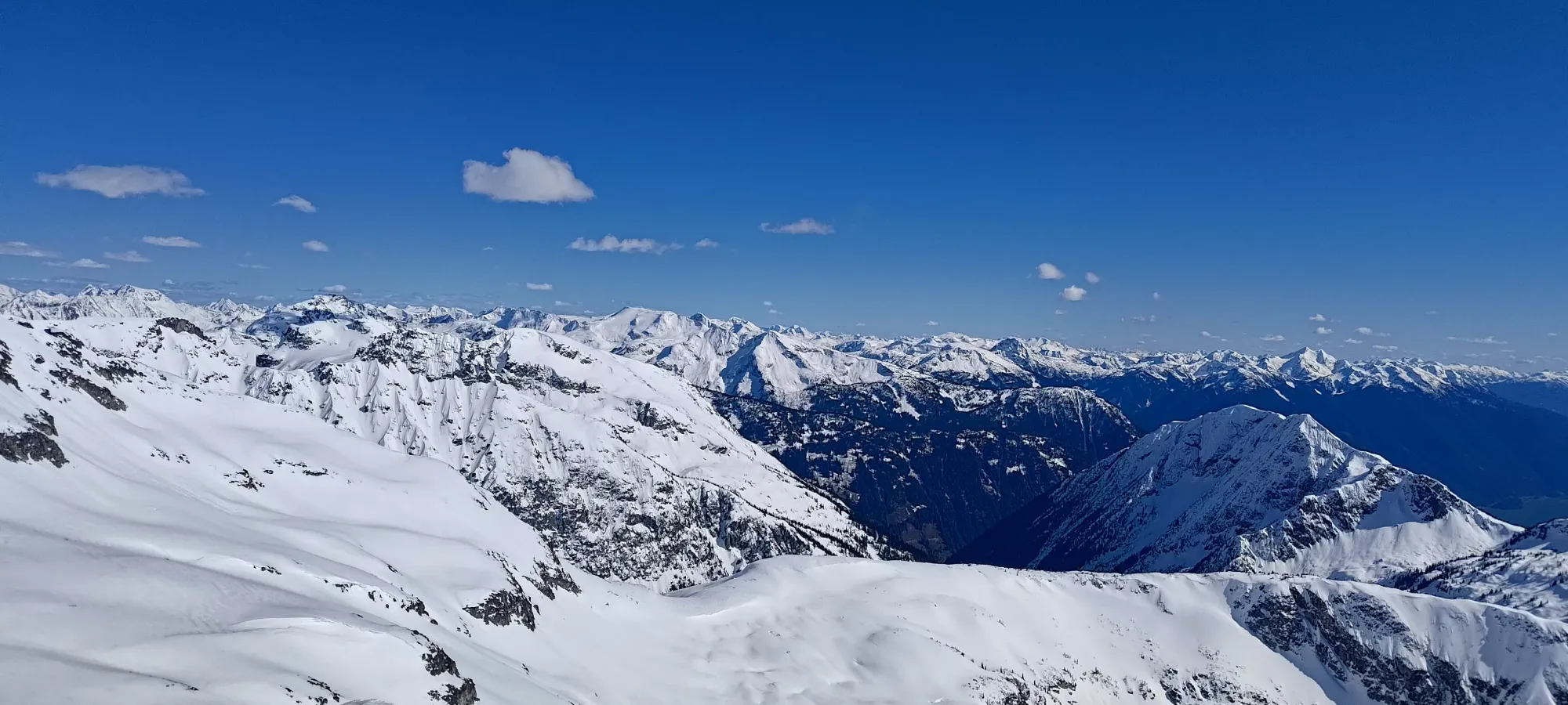
Joffre Group, Pemberton, British Columbia
2377m
This mountain was a bit of a "revenge bag" in a few senses of the term. First, I'd attempted to bag it and its neighbour, Mount Taylor, a couple of separate times. The first, we got a late start and simply ran out of time, the latter being on New Years' this year, but being turned back in the alpine due to signs of recent wind slab instabilities. On top of that, I also just got out of the hospital after a few nights spent trying to get my colitis symptoms, which had been annoyingly active as of late, under control. That meant nearly a week of lying around doing a whole lot of nothing, so I was itching to get back to what I love, and really do anything other than lie around and watch TV or doomscroll Facebook.
So, with Monday being a great weather window, and me still having time off booked from a now-cancelled family vacation, I wanted to go ski something, but not too big, and ideally a northern aspect at decent elevation. Tszil fit the bill, though I also was interested in Taylor, figuring I would decide by "what has a broken trail", or Taylor if neither did, since it is a bit lower, but also higher prominence. I slept in since I was still recovering, after all, and got moving at the most-alpine-start time of just after 11:30am 😅.
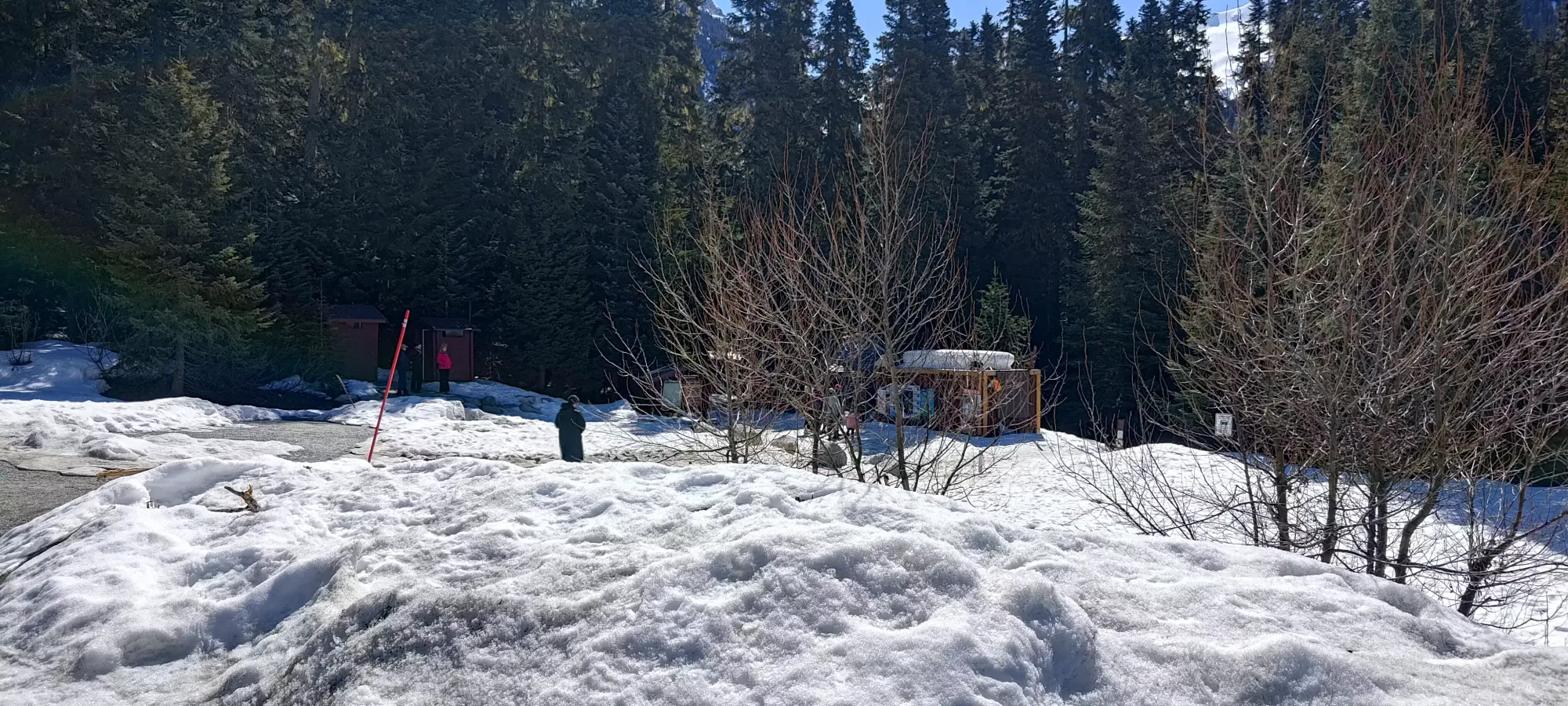
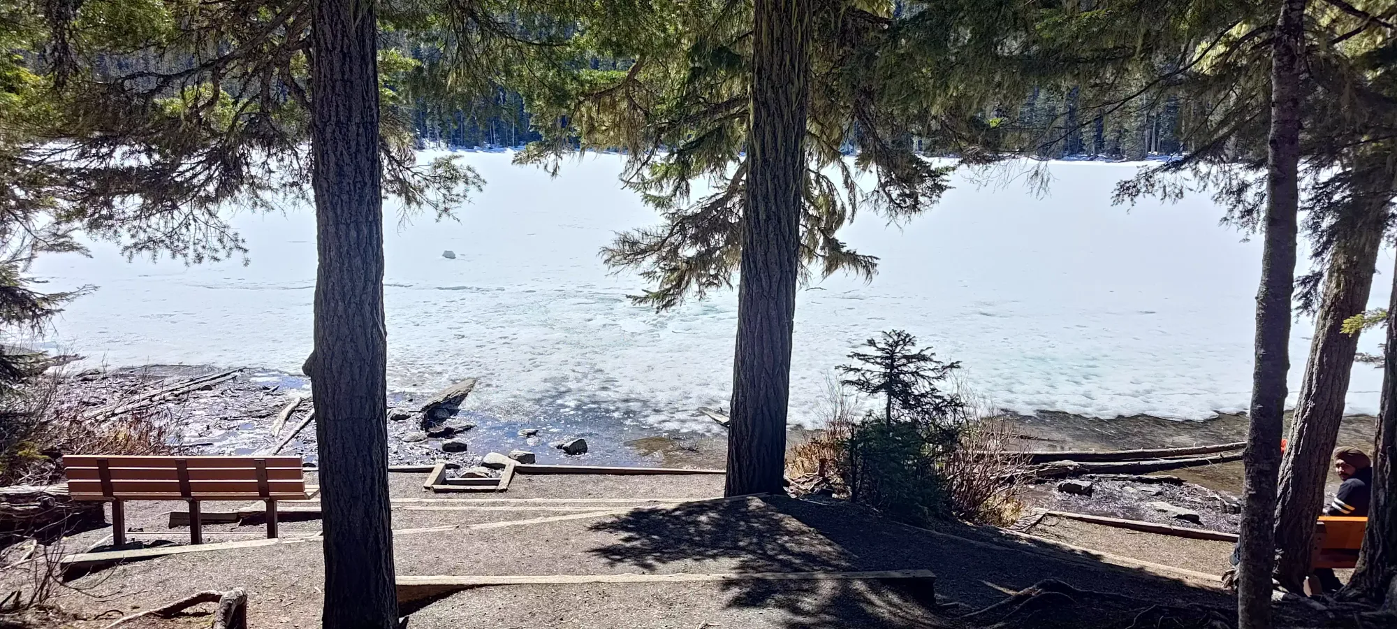
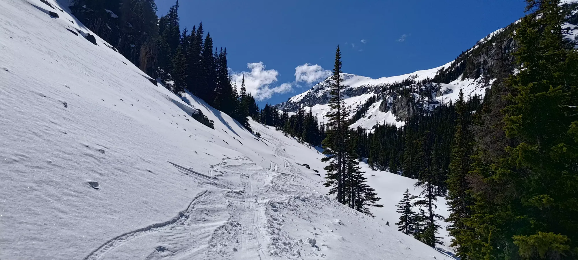
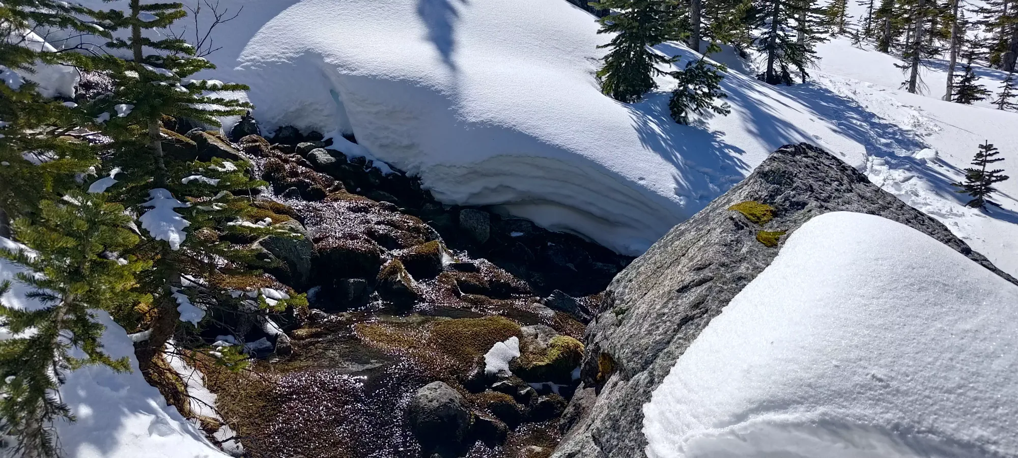
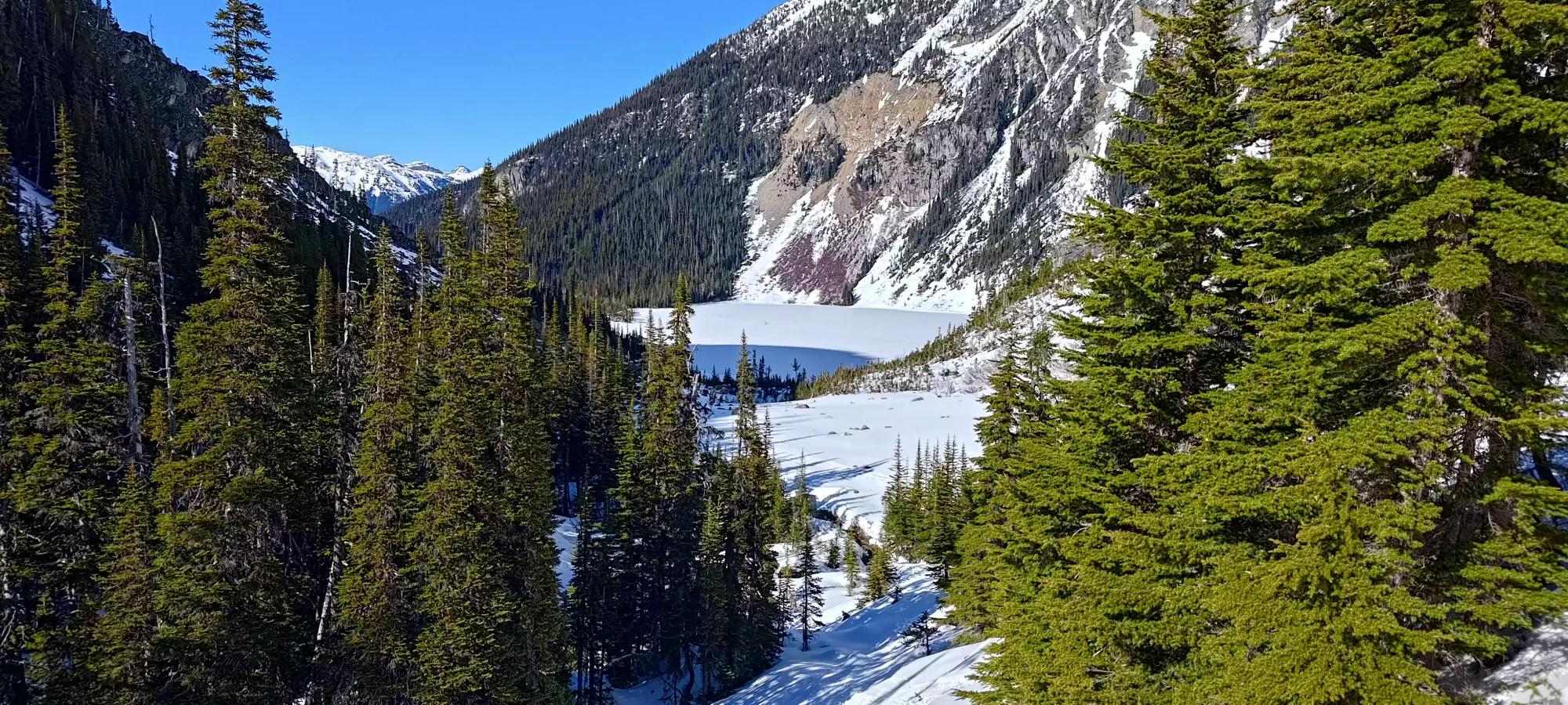
After I walked from the car to the actual trailhead, I noticed that there was snow on the ground right from the get-go, so I slapped my spikes on before getting moving "for real". Normally, I'd just walk in my shoes until things get snowy enough to start skinning, but this trail specifically has a tendency to get quite icy, and on New Years a few months ago, I actually walked it in full-on crampons. Thankfully, this time, I got recent beta, and was prepared with spikes for an easier walking experience to the upper lake. I took a quick detour to see how the lower lake was looking (probably not worth trying to cross IMO), then starting marching up in earnest.
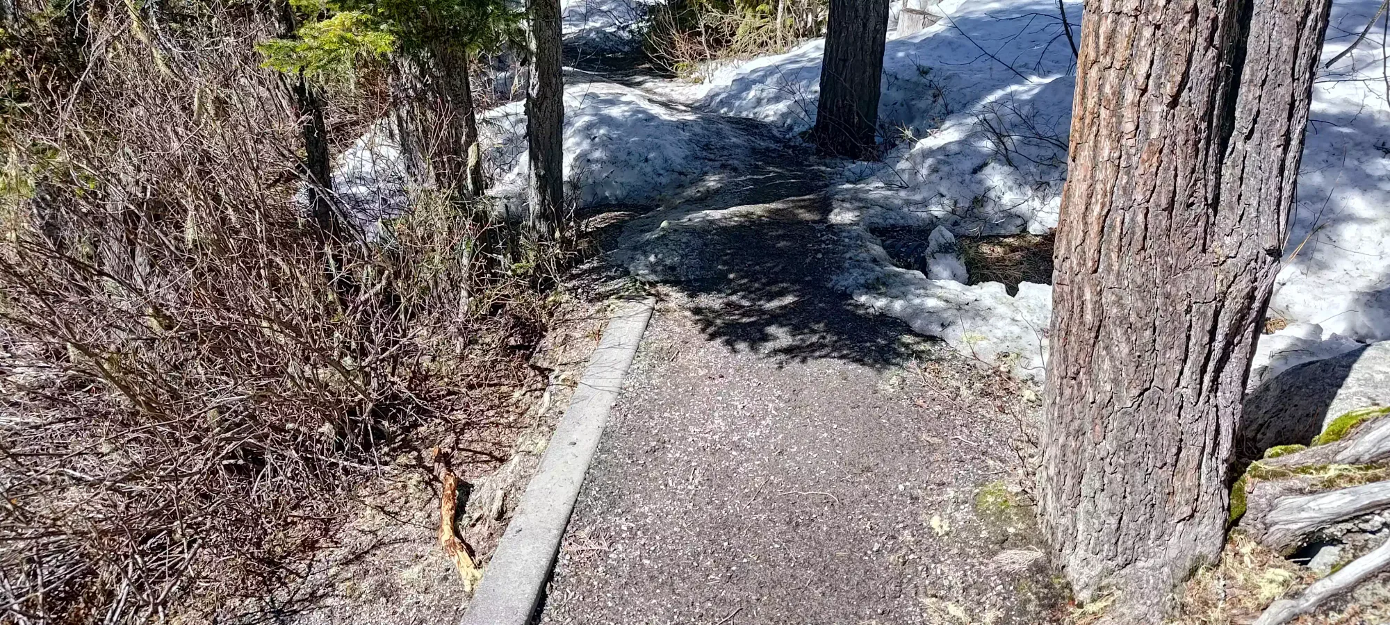
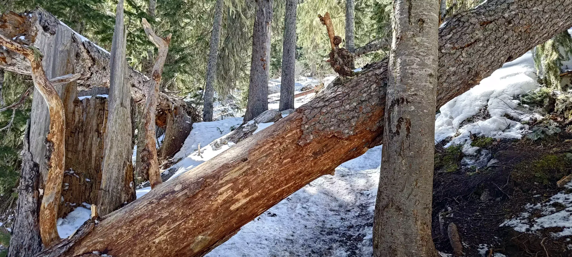
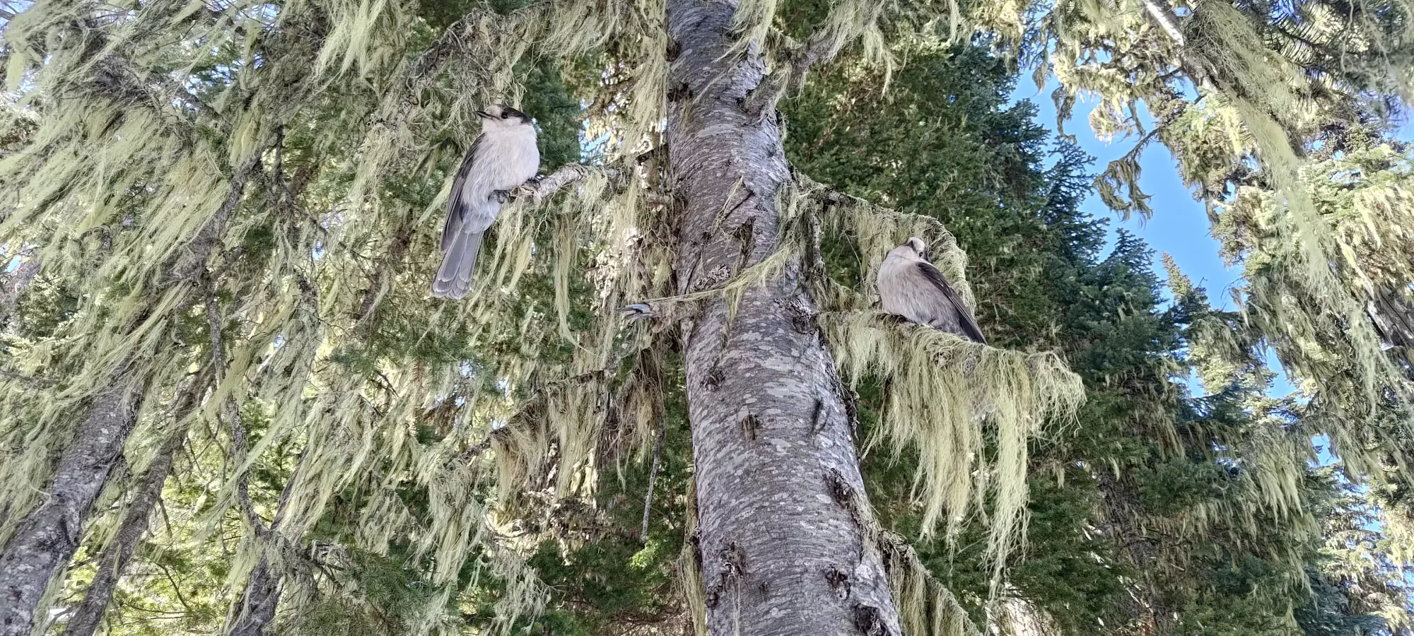
I won't talk about the trail for too long, as it's exhaustively documented and almost too-popular, really. Conditions-wise, it was mostly continuous snow, though with a few patches of bare dirt below the second lake, including one just after the turnoff from the first lake's viewpoint. At 1400m there are a couple downed trees that took some acrobatics to manoeuvre over (and would stop one's attempt to ski coming down). I spent a few minutes at the second lake talking to some guys who asked me to take some photos for them as well, and my karma was rewarded with a rare opportunity of some wildlife photography once I got moving after that, as some birds decided to take a break on a tree just above me while I was walking, so I snagged a photo of them. Other than that, it was a simple walk up, with the only other thing of note being "I was definitely more tired than normal for the amount of effort", as despite taking 70 minutes to gain about 330m over 4km on an easy trail, I was feeling the exertion quite a bit. Guess that week of being sedentary didn't do me any favours.
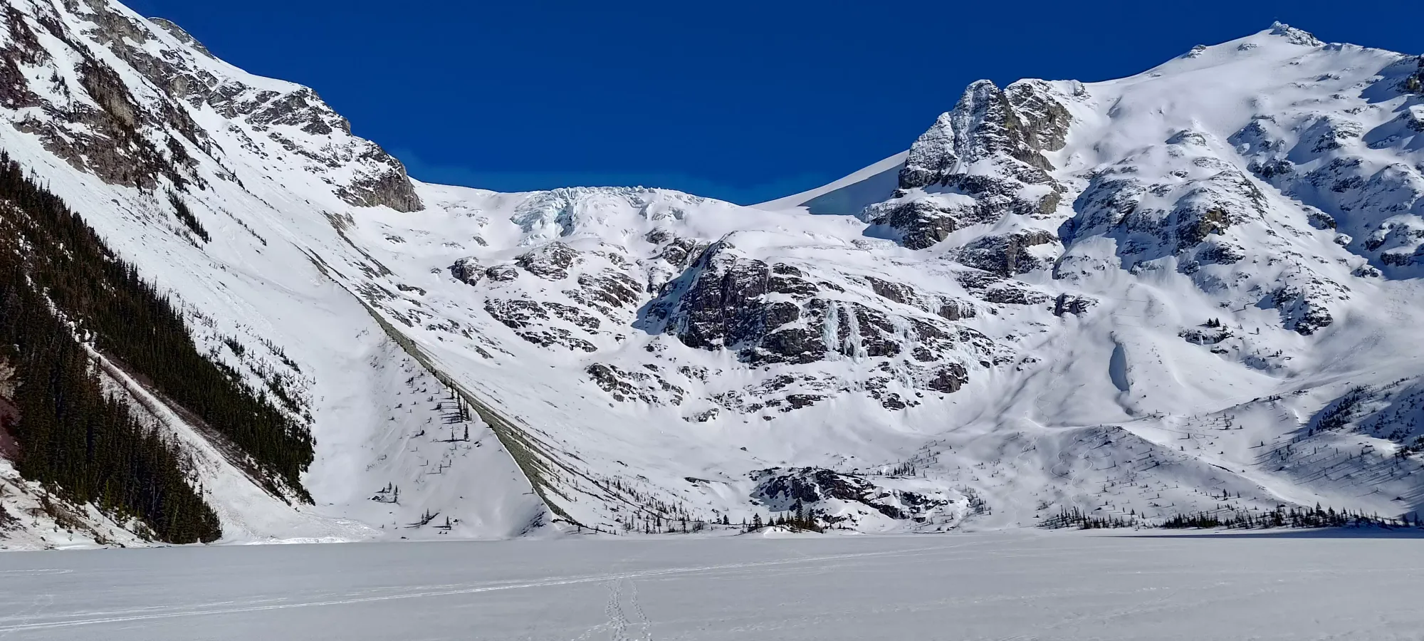
Once at the lake, I spent about 10 minutes stashing my shoes, getting my boots on, getting my skins on my skis, and debating my life choice about where to go from that point. I saw a nice skin track punching up Slalok, which is definitely a "more important" peak for me, but there is overhead hazard on that route, and given it was already past noon on a spring day, and the Stonecrop Glacier's deteriorating state, I decided to save that for a more prepared and intentional day, skin track be damned. Over towards Tszil and Taylor, I could vaguely see signs of activity leaving the lake, but no obvious track heading up the col between them, so it was a bit of a dice-roll with respect to having a broken trail, but that hasn't stopped me before, so I just accepted fate and started moving across the lake (enough people had crossed very recently that I didn't feel it necessary to do more than the quick "jab a pole at the ice" test, which did not punch through).
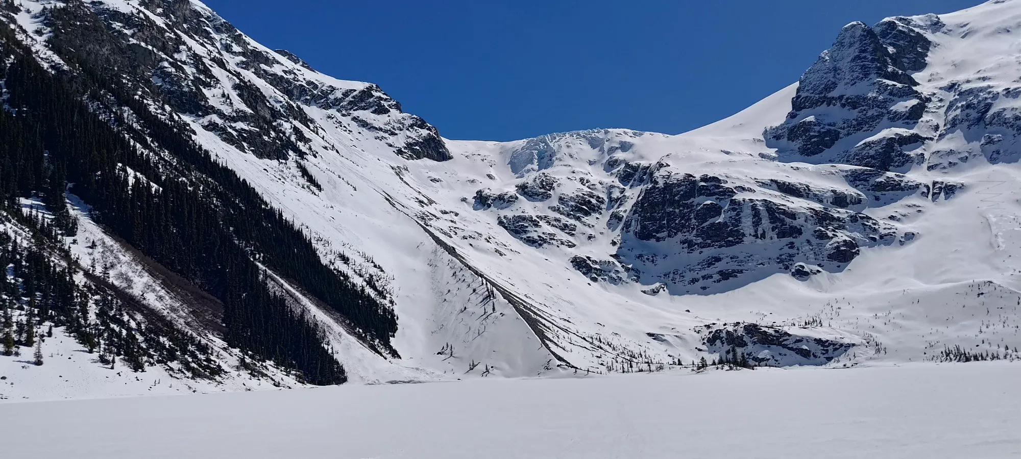
Crossing the lake was nice and fast, taking barely over 5 minutes, a start contrast to my previous trip over Garibaldi Lake to Mount Price, which took half an hour at a pretty good clip to cross. Guess being more than 10x smaller will do that. Once across the lake, it's a fairly easy skin up the boulder fields at the edge of the lake, and into the small forest below the alpine. I had a skin track to follow, which made things even easier than the last time.
Sadly, not too long after I got into the treed area, I started having to deal with some sun/shade transitions, and also just "generally wet snow and warm skis", which made for quite gloppy conditions. I think I need to hot-wax my skins or something, because at its worst, this was actually more tiring than breaking trail would normally be, with almost every step requiring me to stomp out clumping snow, or just "dealing with my skis being way heavier and not gliding". It wasn't too bad down low, but as I got into the alpine (interestingly where shade didn't really exist), it actually got worse.
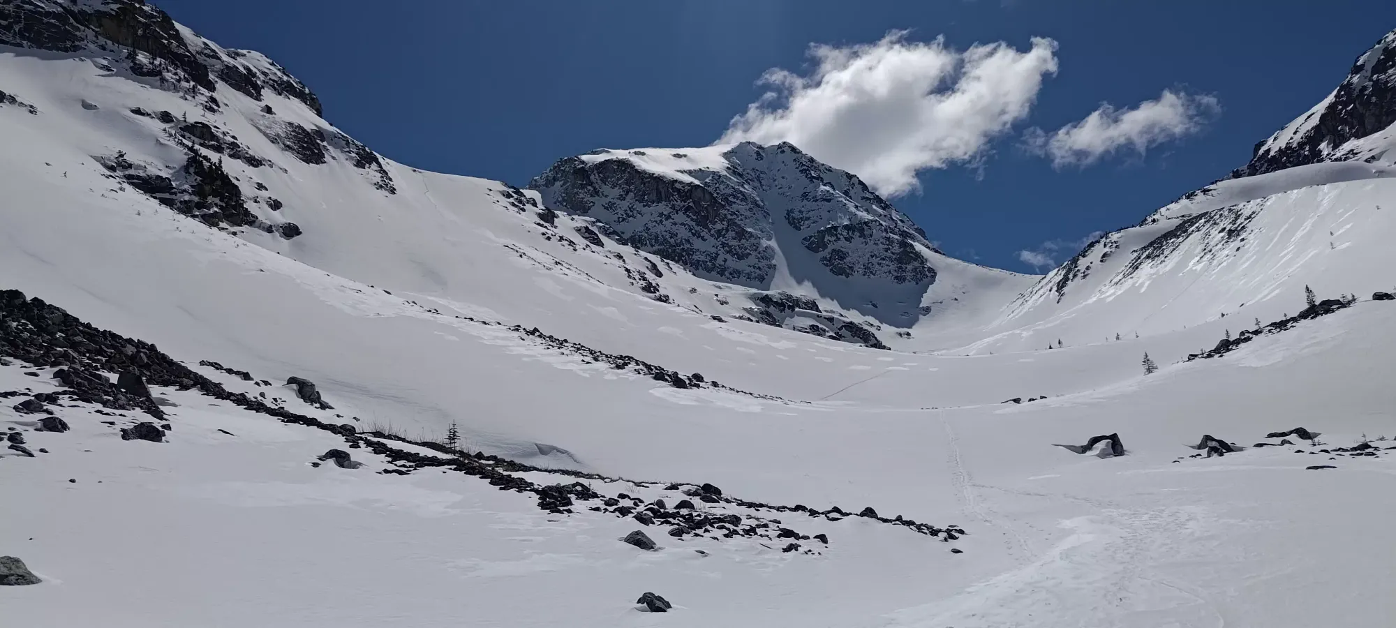
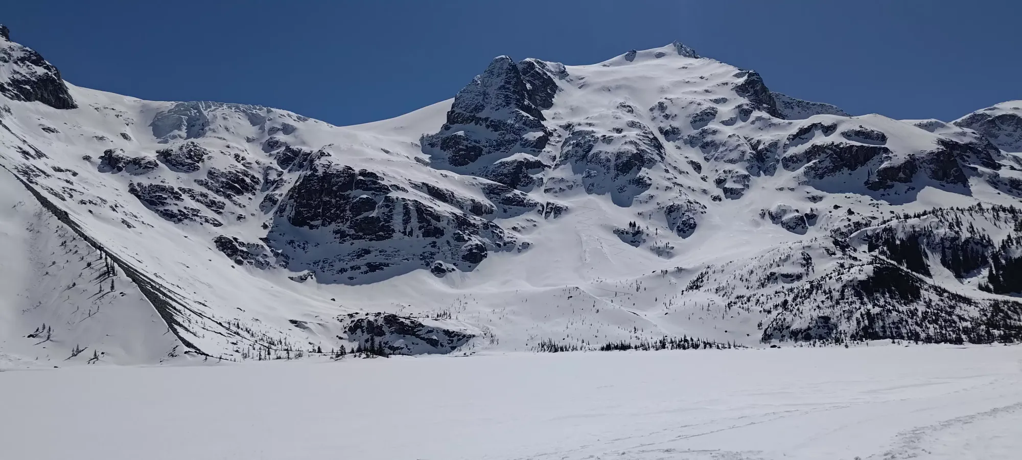
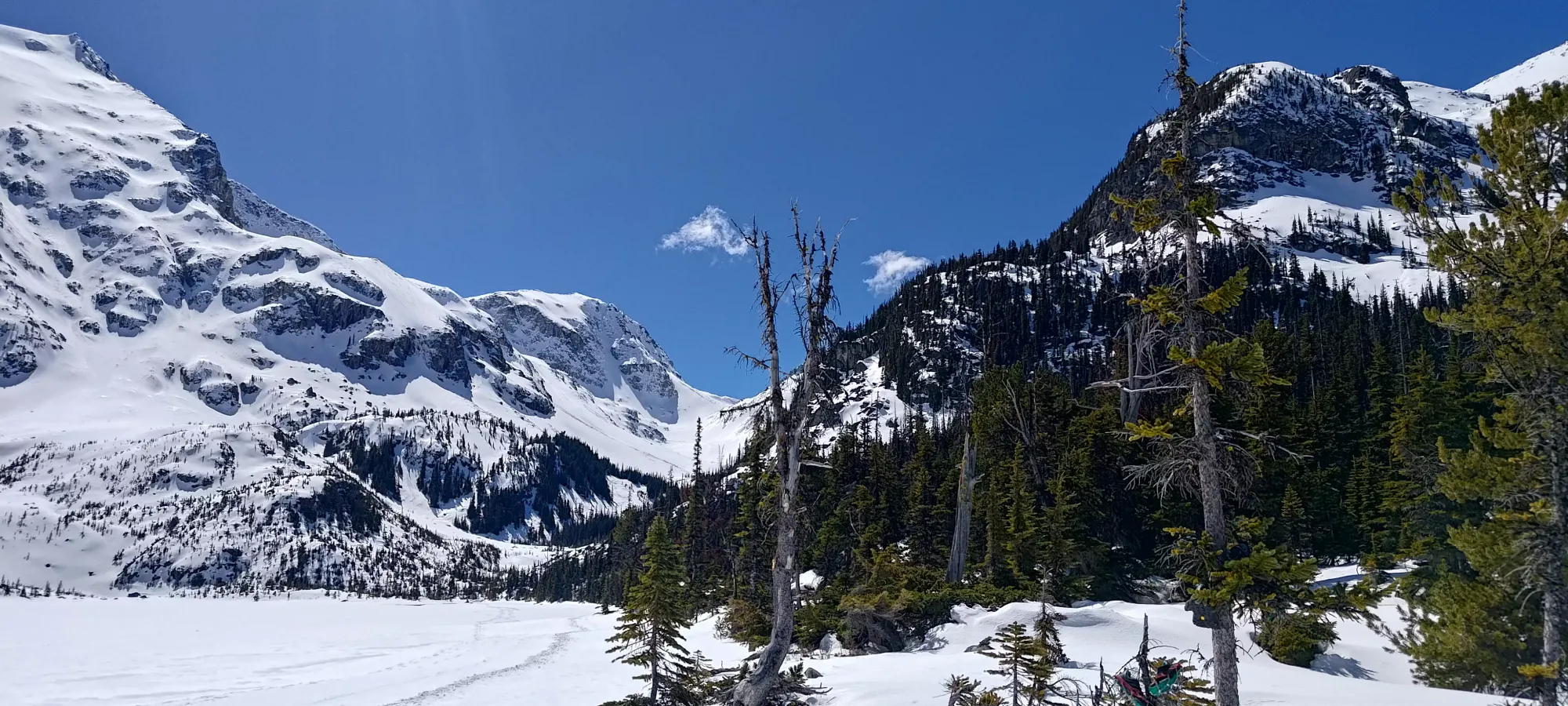
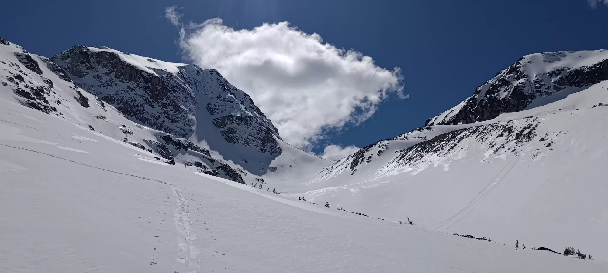
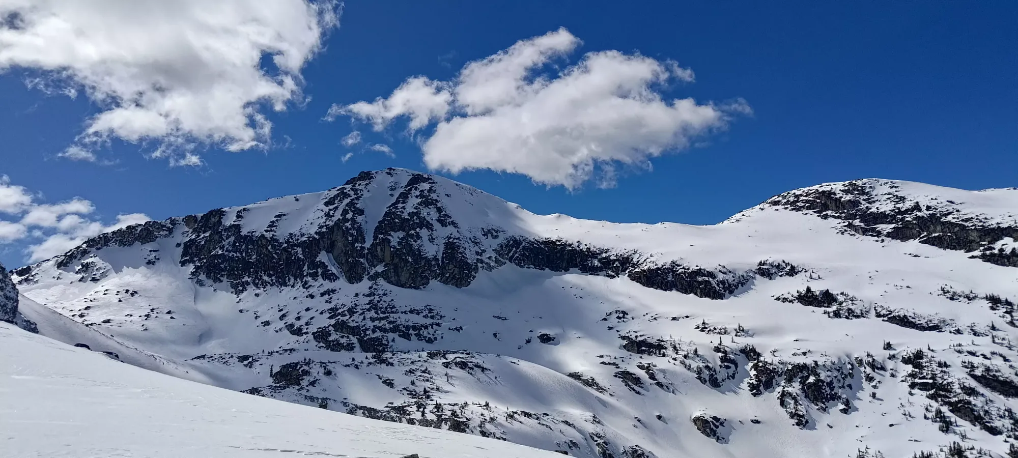
At around 1700m I had one creek to cross that required me to take my skis off, although briefly and without concern of getting wet. This was fairly close to the "proper alpine", and in under 10 minutes from that point, I was at the bottom of the open drainage, with both Taylor and Tszil in sight.
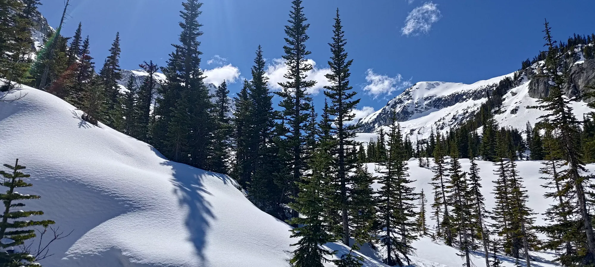
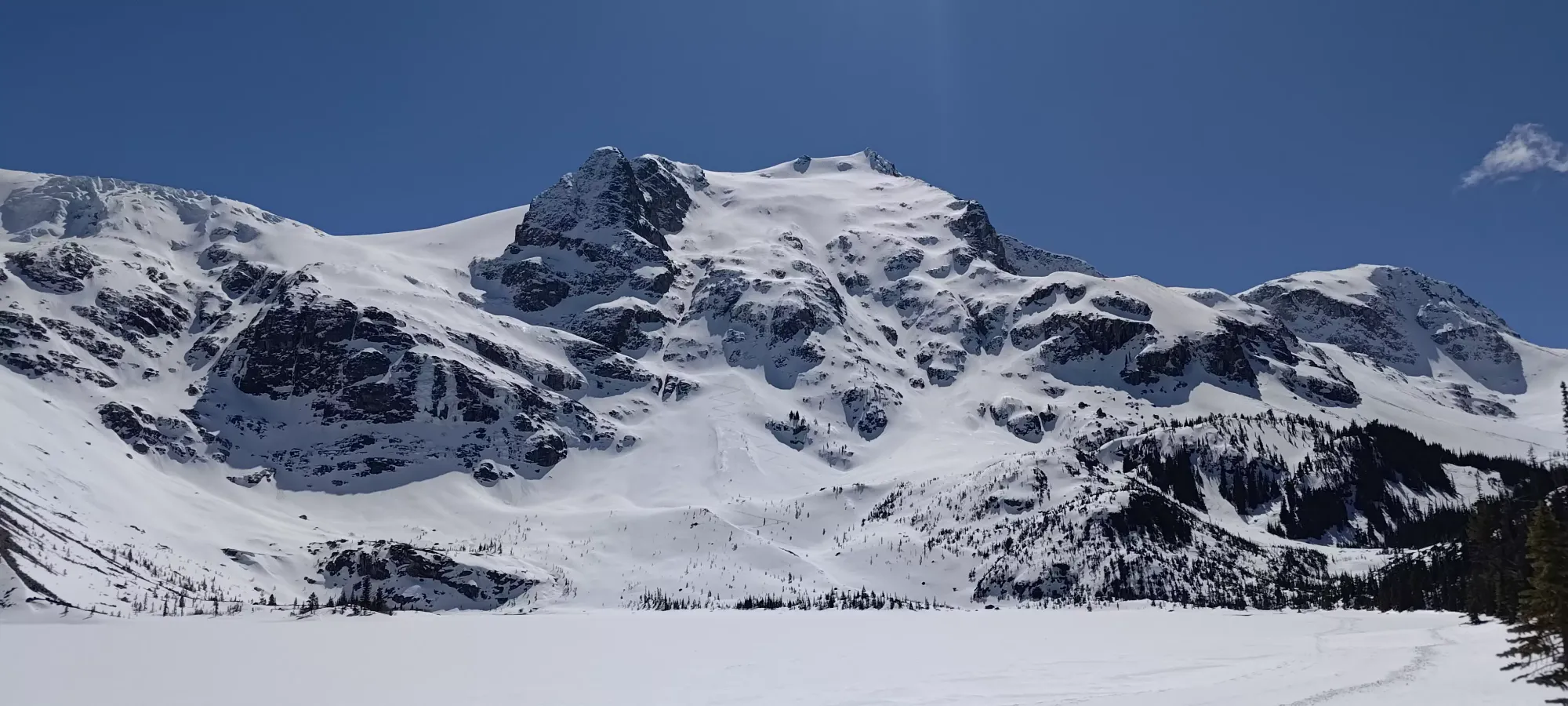
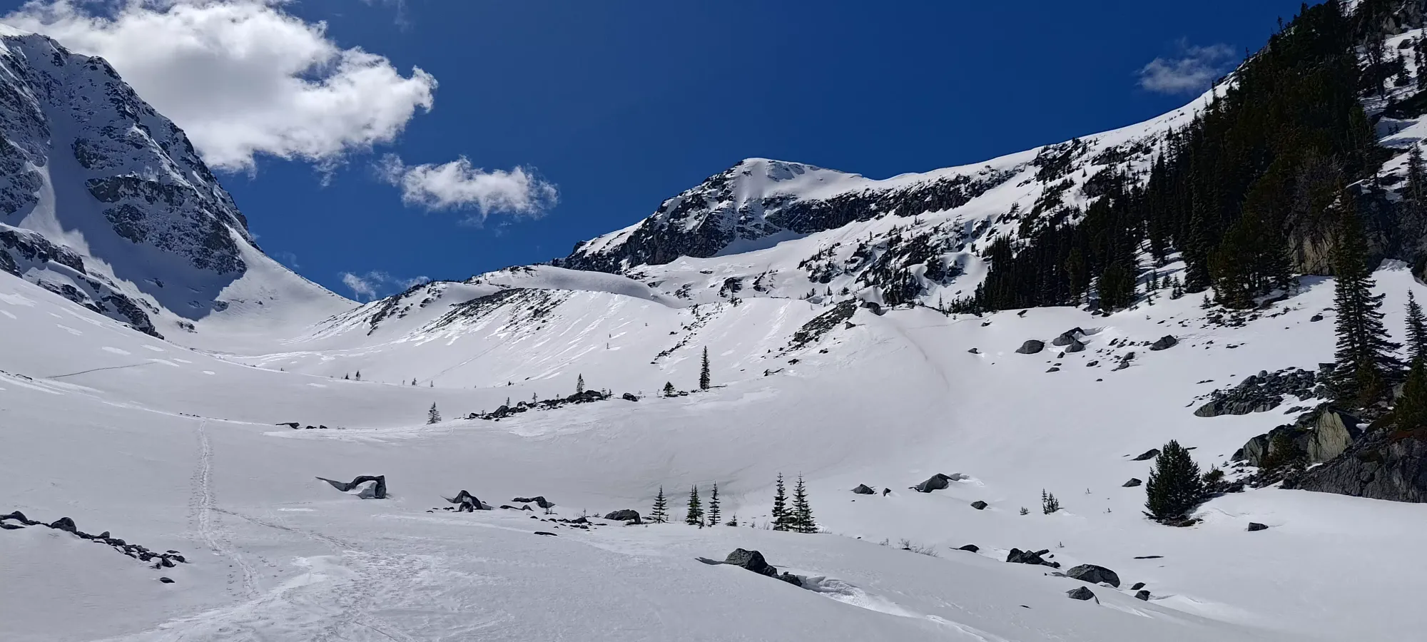
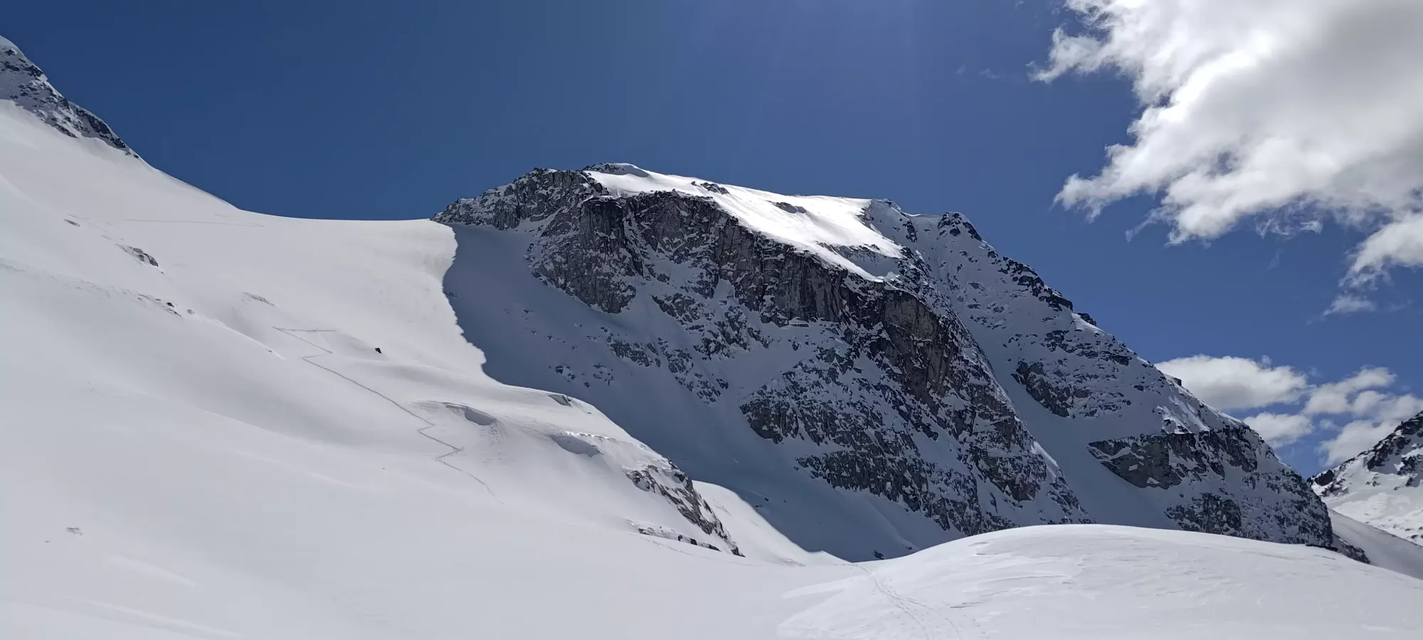
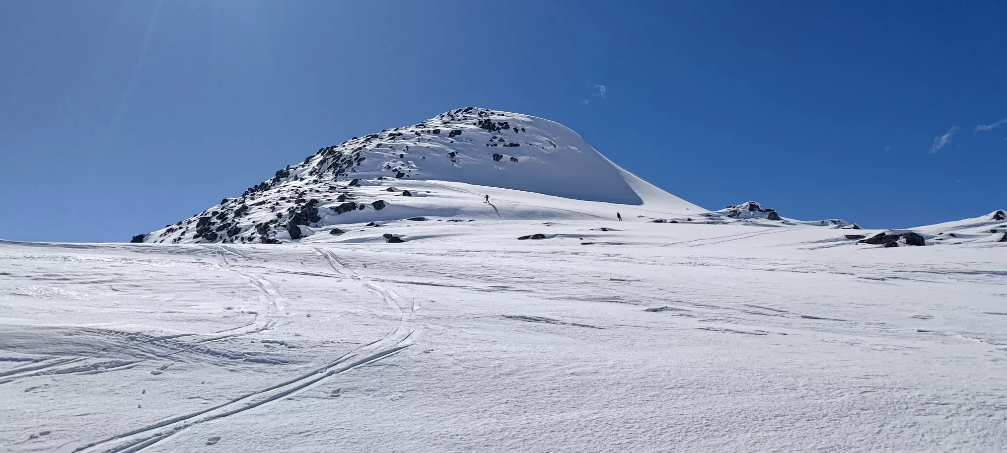
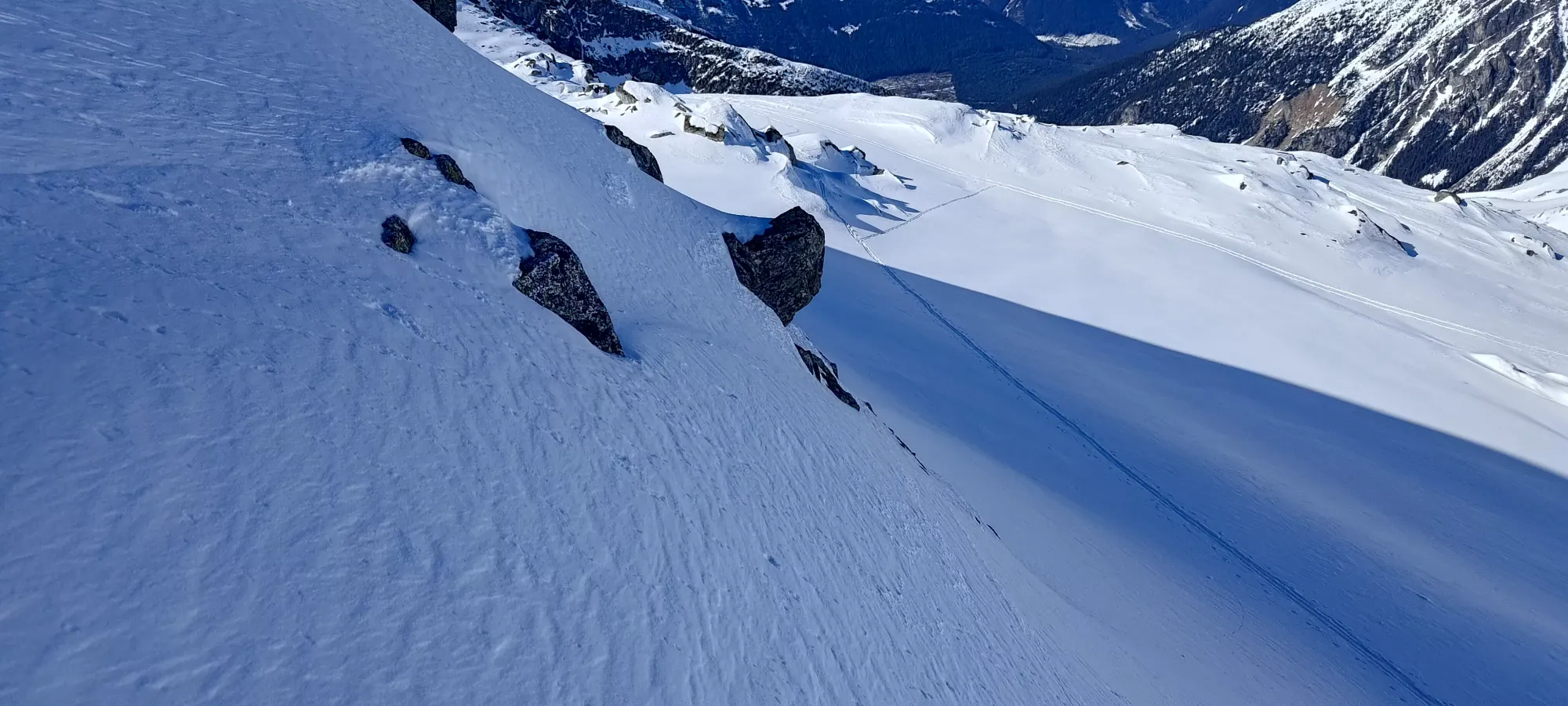
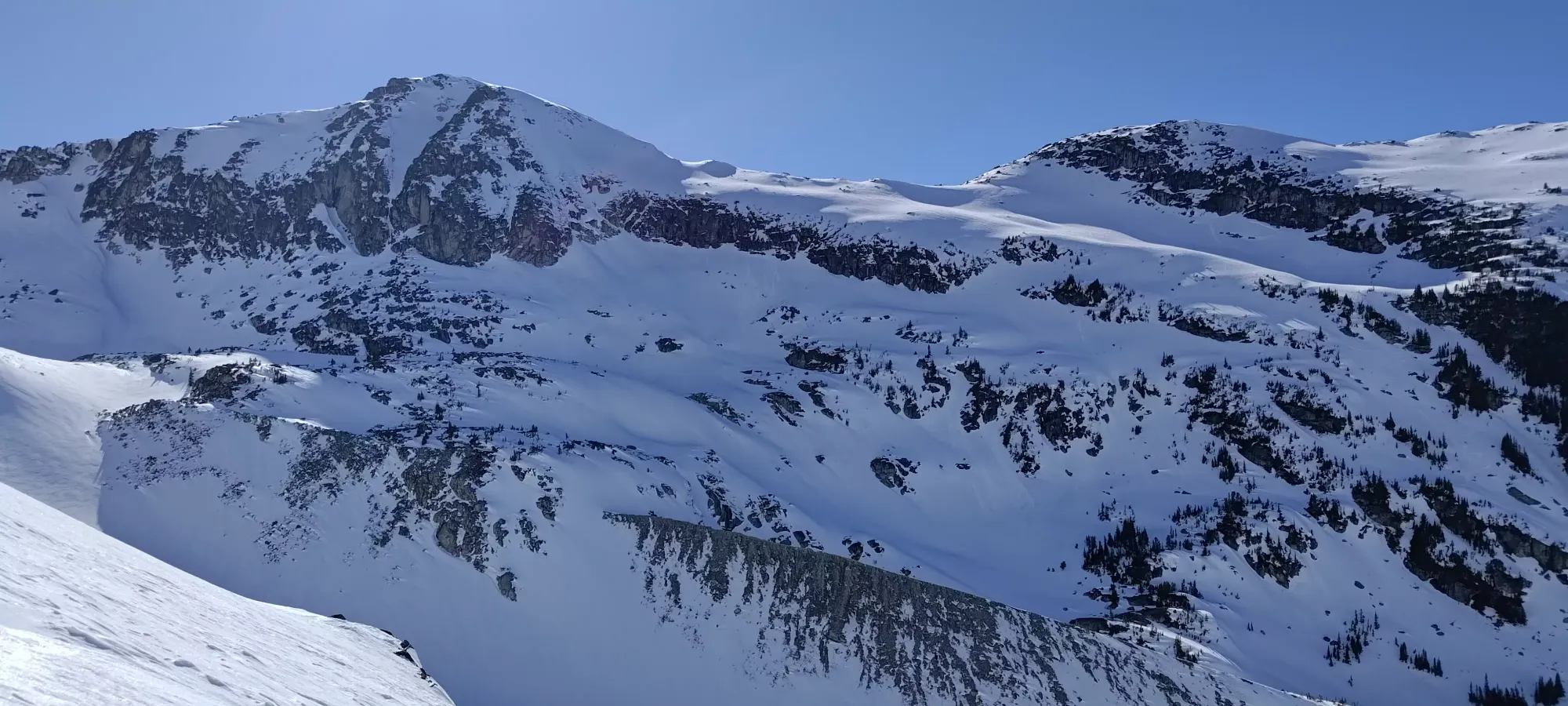
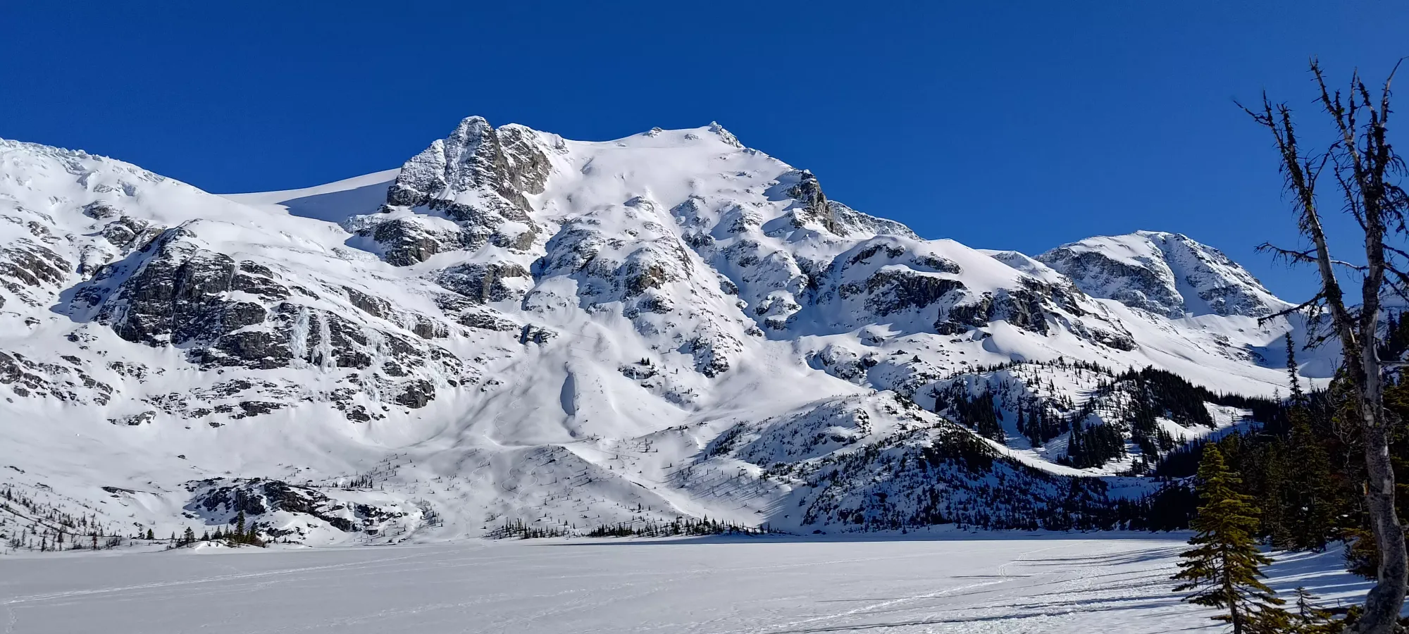
When I got into the alpine, and crested the small roll necessary to get eyes on both peaks, I got to see where the tracks I was following were headed. A bit disappointingly for my prominence-oriented brain, they were not going up Taylor, on which I couldn't spot an uptrack for at all. The track instead seemed to curve up towards Tszil fairly aggressively, actually turning up to climber's left into a bootpack far earlier than I expected. Previously, I'd stuck closer to the main face and skinned up closer to the southwest extremity of the glacier instead of the northeast side of it, which worked well (other than the wind slabs that made us turn around, but that wasn't a problem on this day). I figured, though, that a broken trail was more important than skinning for the whole time, or breaking my own way up Taylor, so Tszil it was!

This area is where the glopping was getting really obnoxious, to the point that I actually had to stop and scrape my skins, and try to get some skin wax on there, but I think it was too late, and they were already just too wet, as the problems started back almost immediately after I went through the trouble. It took about half an hour to get to the base of the bootpack with all the skin trouble taken into account, and it was honestly kinda nice to not have to deal with glopping skins for a bit 😅.
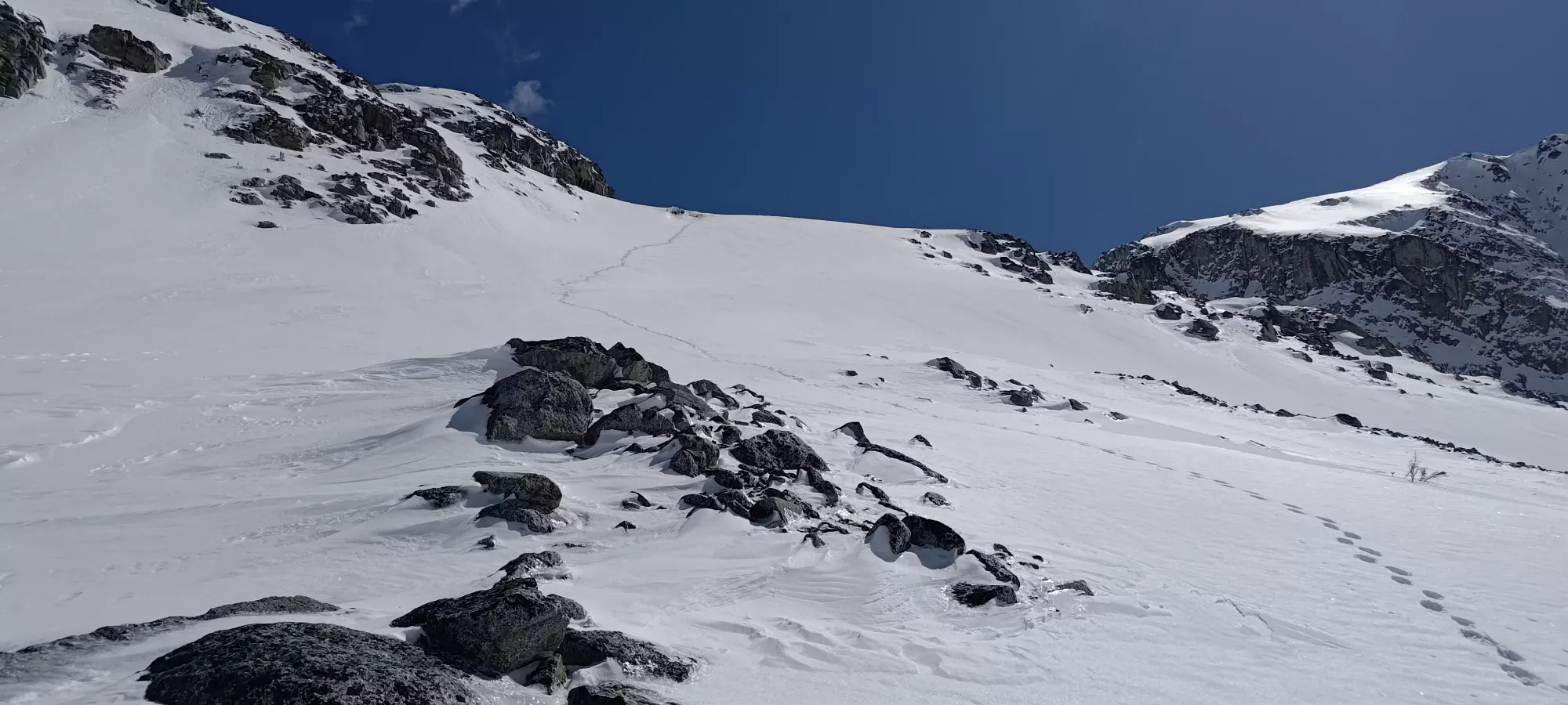
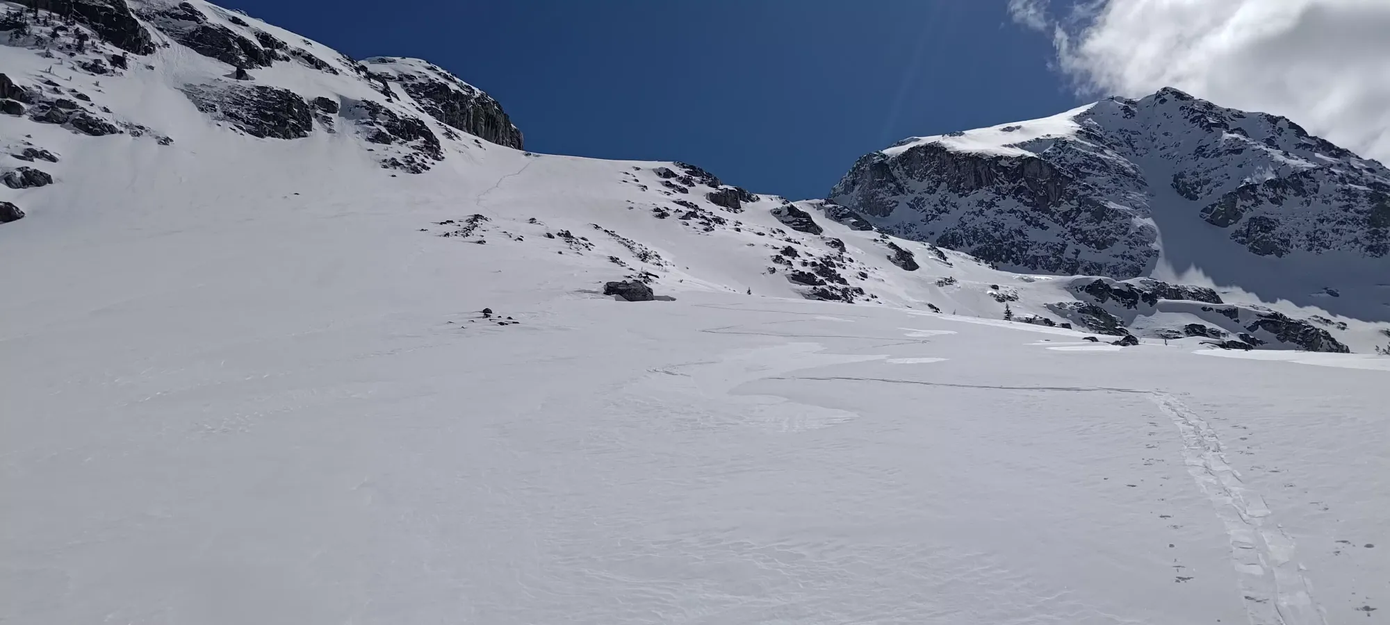
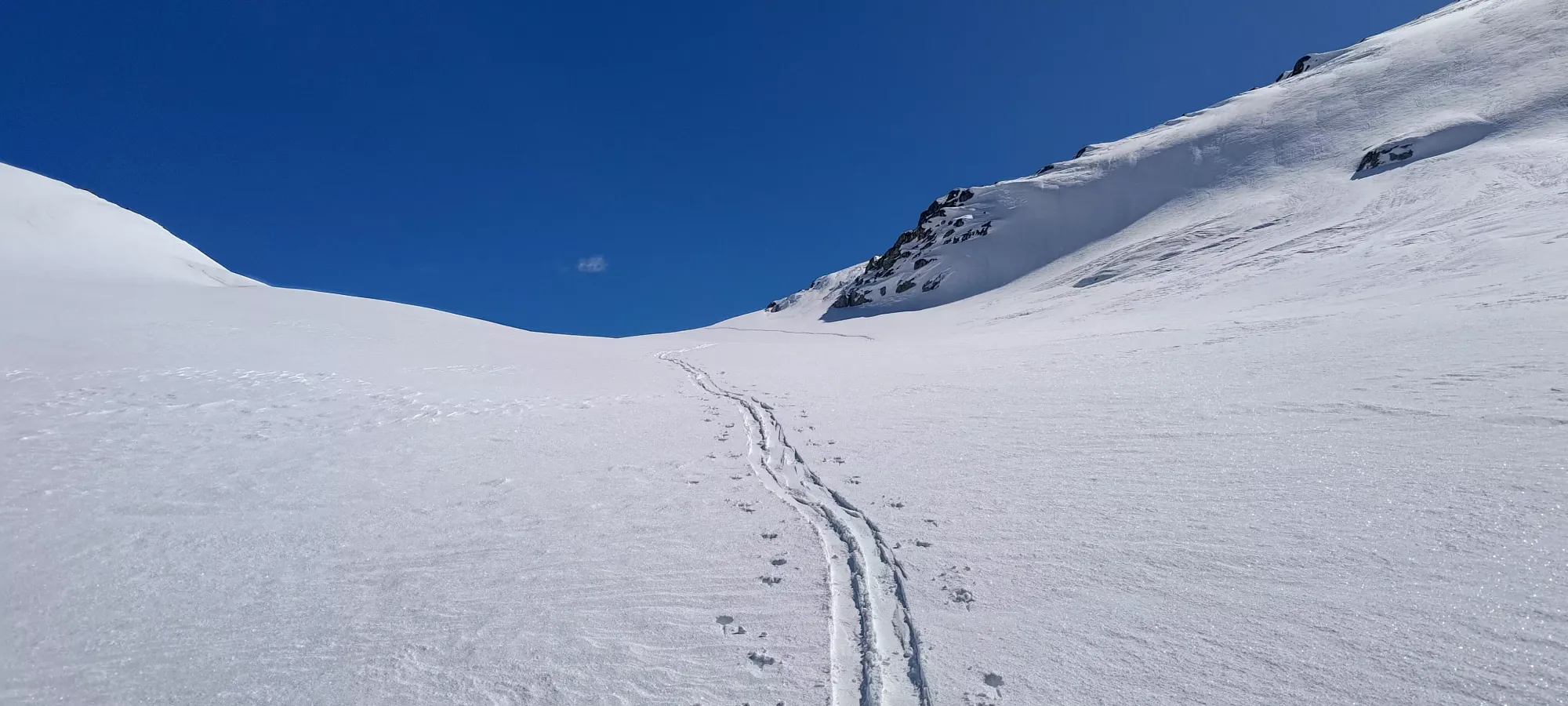
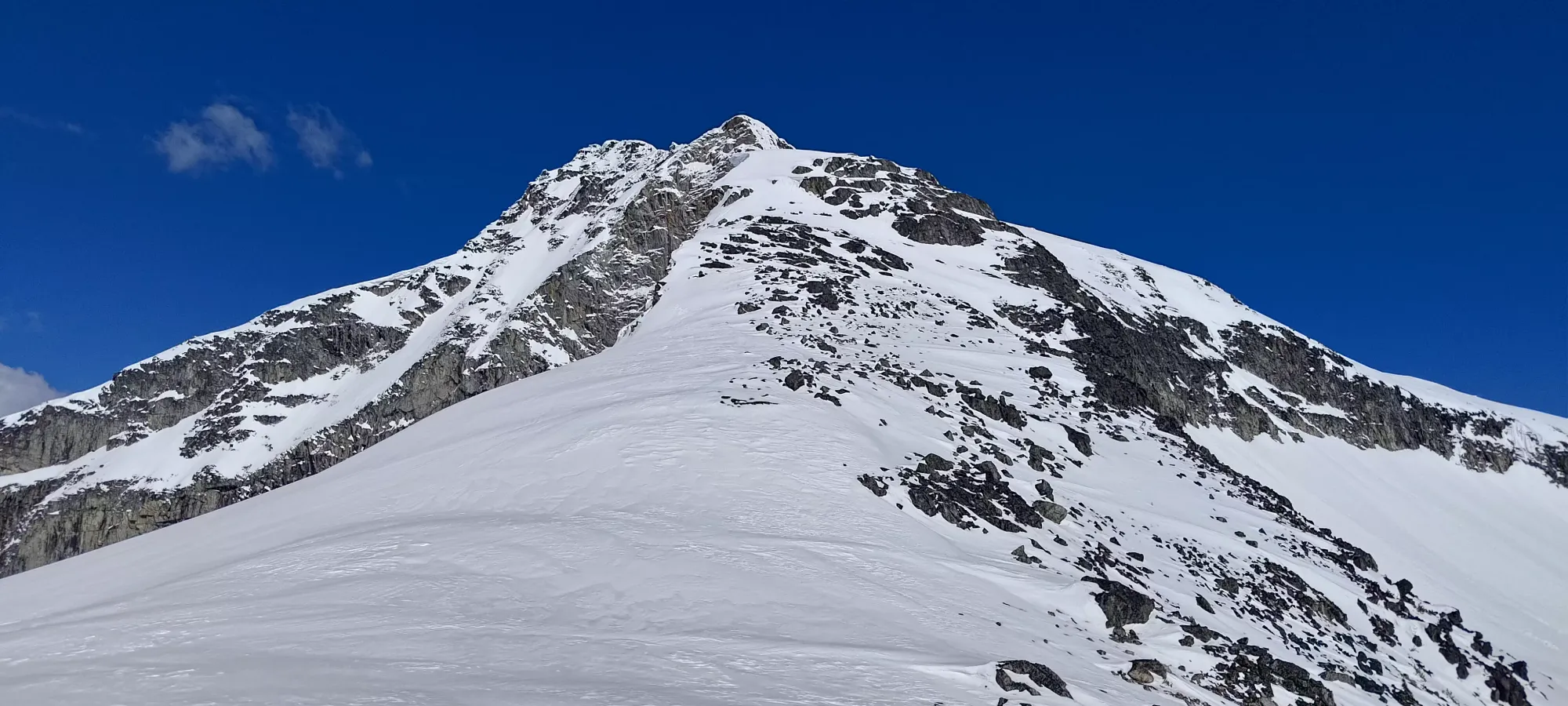
The booting took a bit over 15 minutes, and brought me to around 2000m elevation, right at the bottom of the glacier bowl. I took a short water break, and got my skis back on to walk up the tame-looking glacier.
The glacier is about 300m of elevation gain, so with a skin track, it should be pretty easy cruising. If you just got out of the hospital after 5 nights, a couple of which were no-eating-allowed days, are very hungry but waiting for the summit to eat, and are glopping like mad, though, it will take you more like 70 minutes (apparently). I was especially really hungry, but since I was barely on-the-mend colitis-wise, I didn't want to chance snacking while I was actively moving, so I just dealt with the slowness, since I was confident the snowpack wasn't going to get any worse, and I knew the terrain well enough to not care about the time.
I chatted for a couple minutes with the 2 lovely ladies who broke trail for me (thanks again!). Turns out they were also Squamish residents who couldn't resist the good weather and came out for a ski (one boarder, one skier). They did tell me their names, but in my usual fashion, if I don't see it written down at least a few times, I will immediately forget the name of anyone who tells theirs to me, as I did here. They seemed like cool people, though, and from the small amount of skiing they had off the summit, it sounded like I was in for good times on the way down (it did feel pretty good once you got a bit above the lakes), so that was encouraging. Bonus points to them for going all the way to the top and not just stopping at the col like many skiers I know would.
It was a quick 10-minute skin (for my tired butt) up to the base of the bootpack they had set up the rocky section to the summit. They appeared to not care about "skiing off the summit" and had left their gear at that spot, but I figured it looked skiable, and it's always nice to be able to say you skied from the top, so I leashed my skis onto my pack and set off for the top just after 4pm.
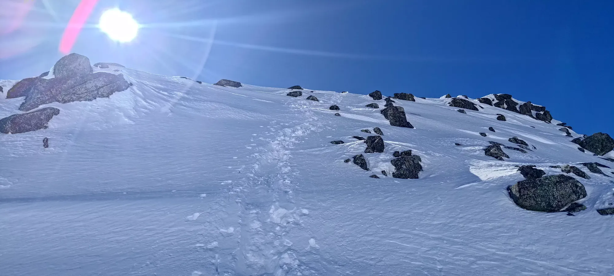
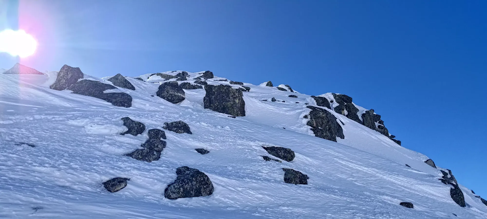
Despite packing both an axe and crampons, I didn't bother taking either out, even though they would have helped. There were a couple spots that the previous party had glissaded down which were a bit tricky to get good purchase in, and my poles weren't always the easiest tools to use for getting my hands secure, so I had to get a little cold using my thin "scrambling gloves" to hold onto the snow, but overall, it was still a pretty easy booter, with minimal exposure and no need to use any technical gear or get friendly with rocks.
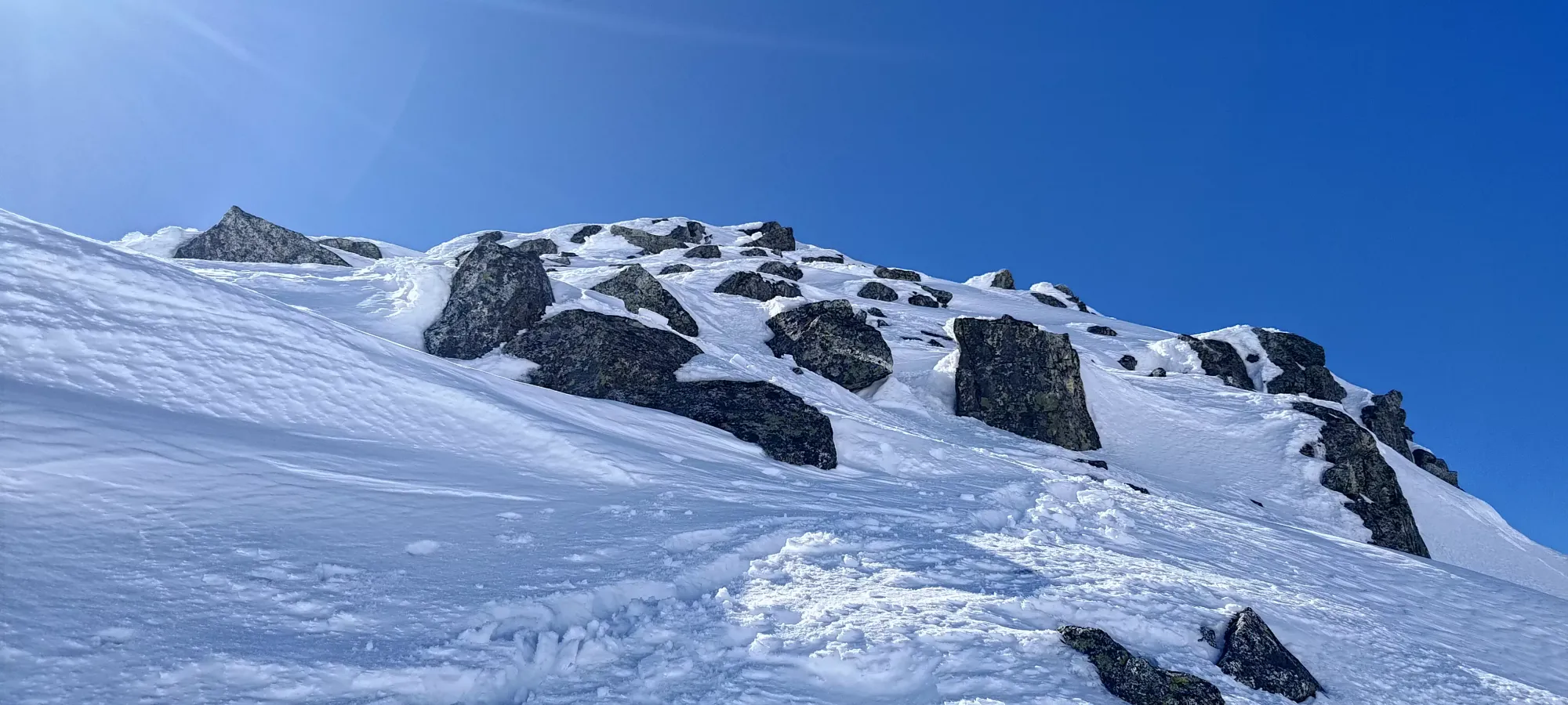
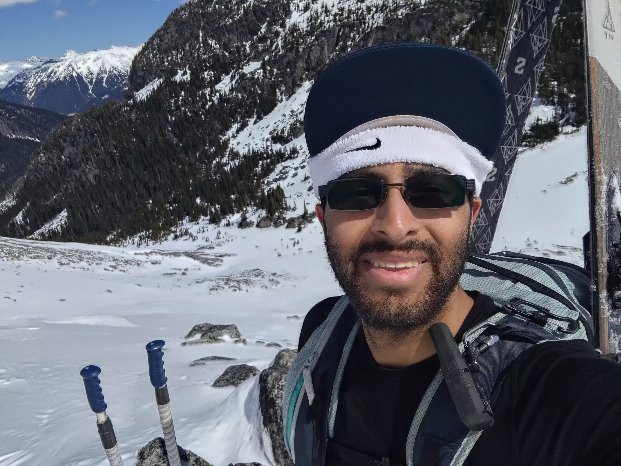
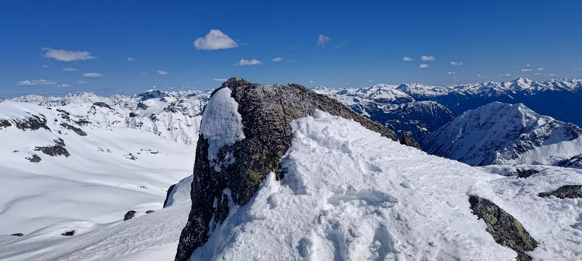
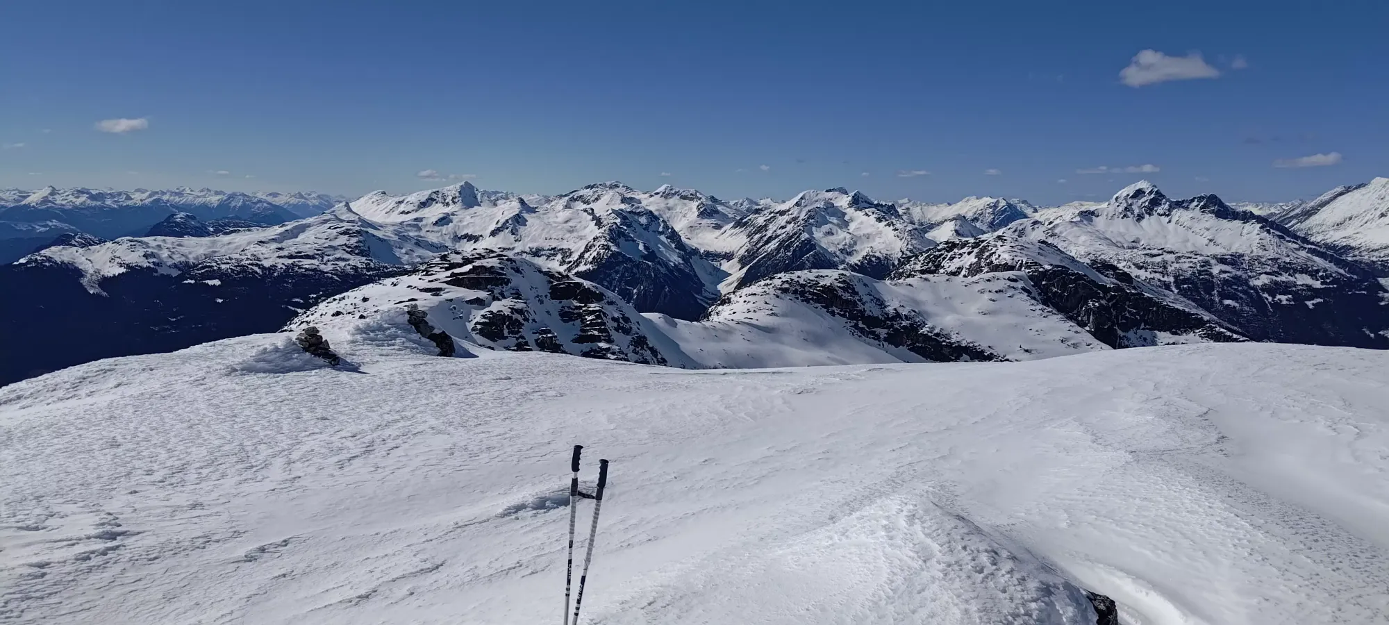
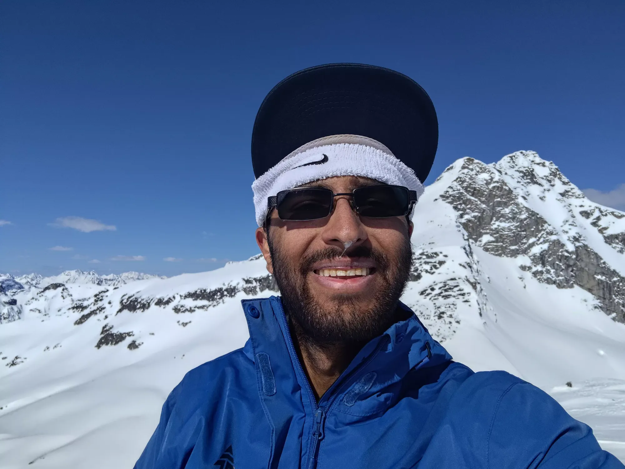
The bootpack overall was pretty short, under 15 minutes, and culminated in a broad summit plateau with a small rock jutting out from the snow as the high point, which was easy enough to clamber on top of, and in fact even made for a decent seat to enjoy the view from! I took a few pictures from the top, then got my skis off of my pack, and sat down on a rock to enjoy some lunch, watch some YouTube videos (the summit actually has good cell service), and relax in the very pleasant weather, while I debated if I should try for Taylor or not.
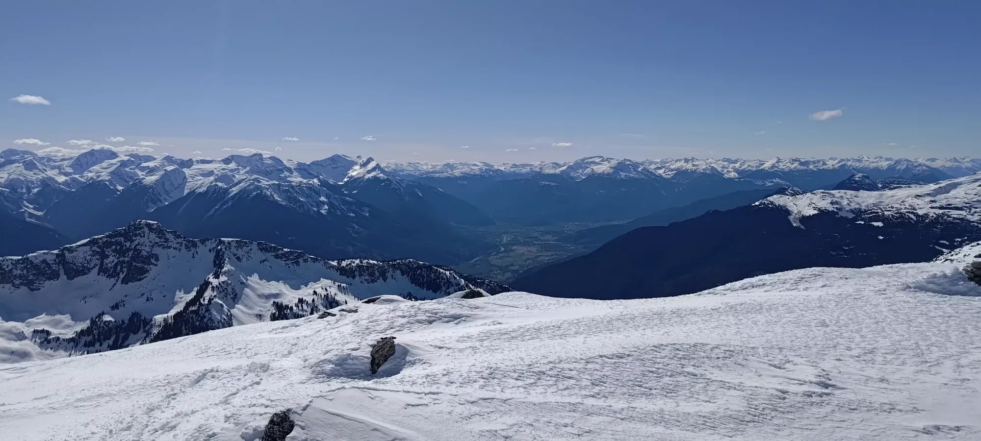
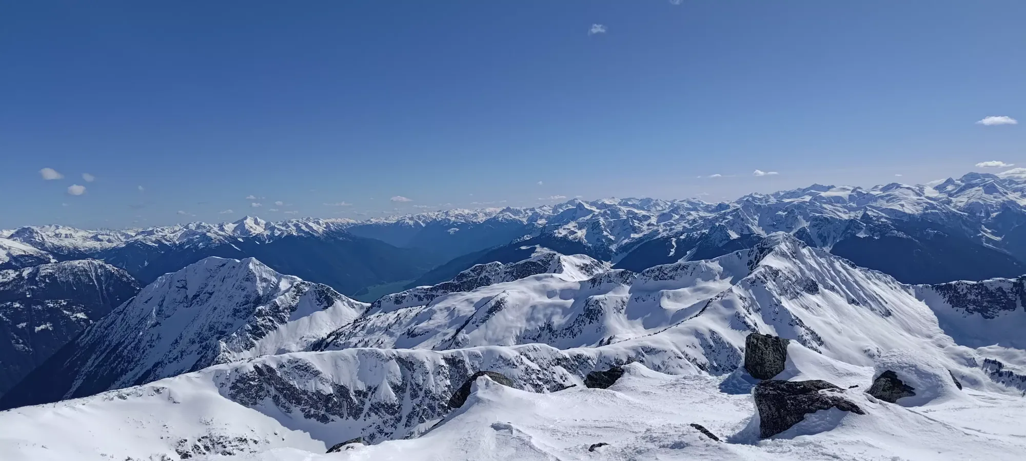
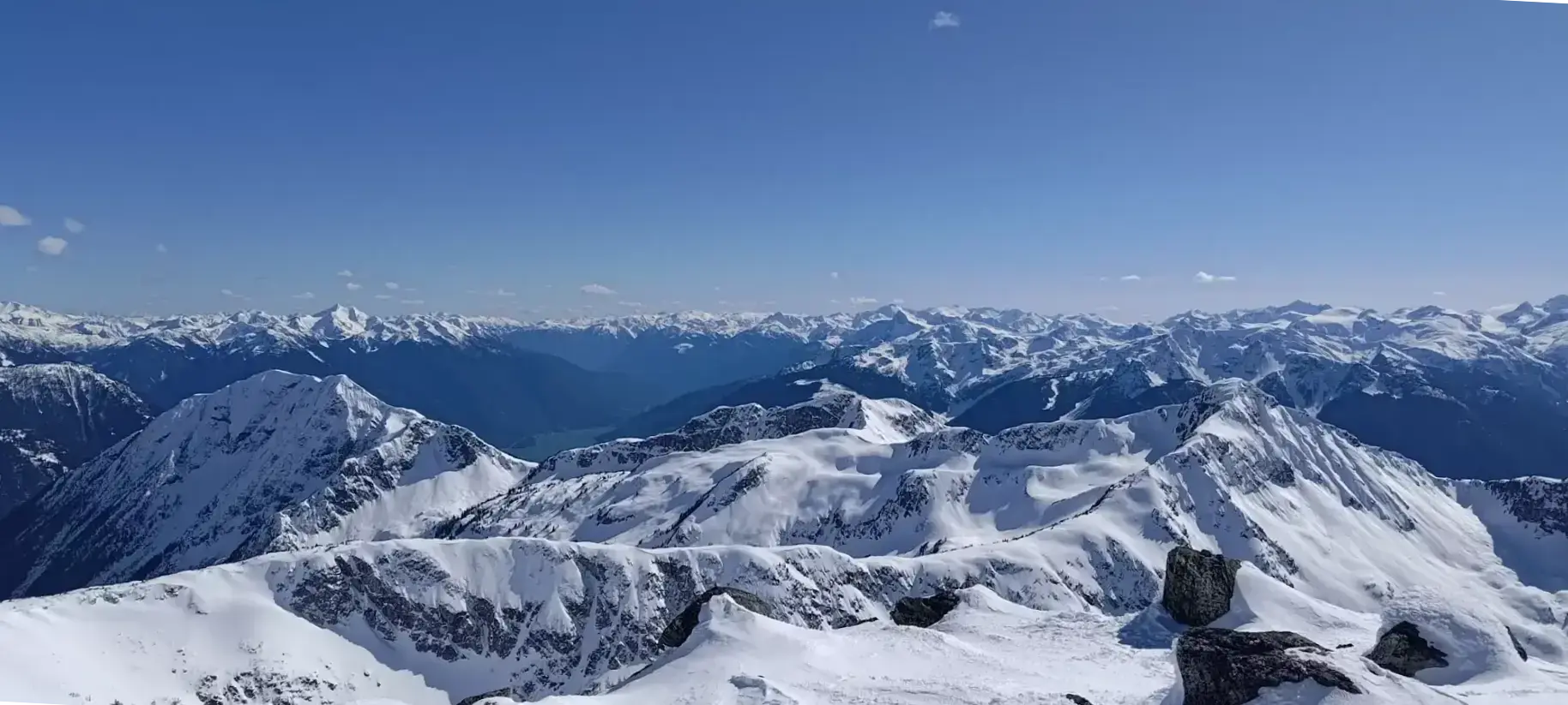
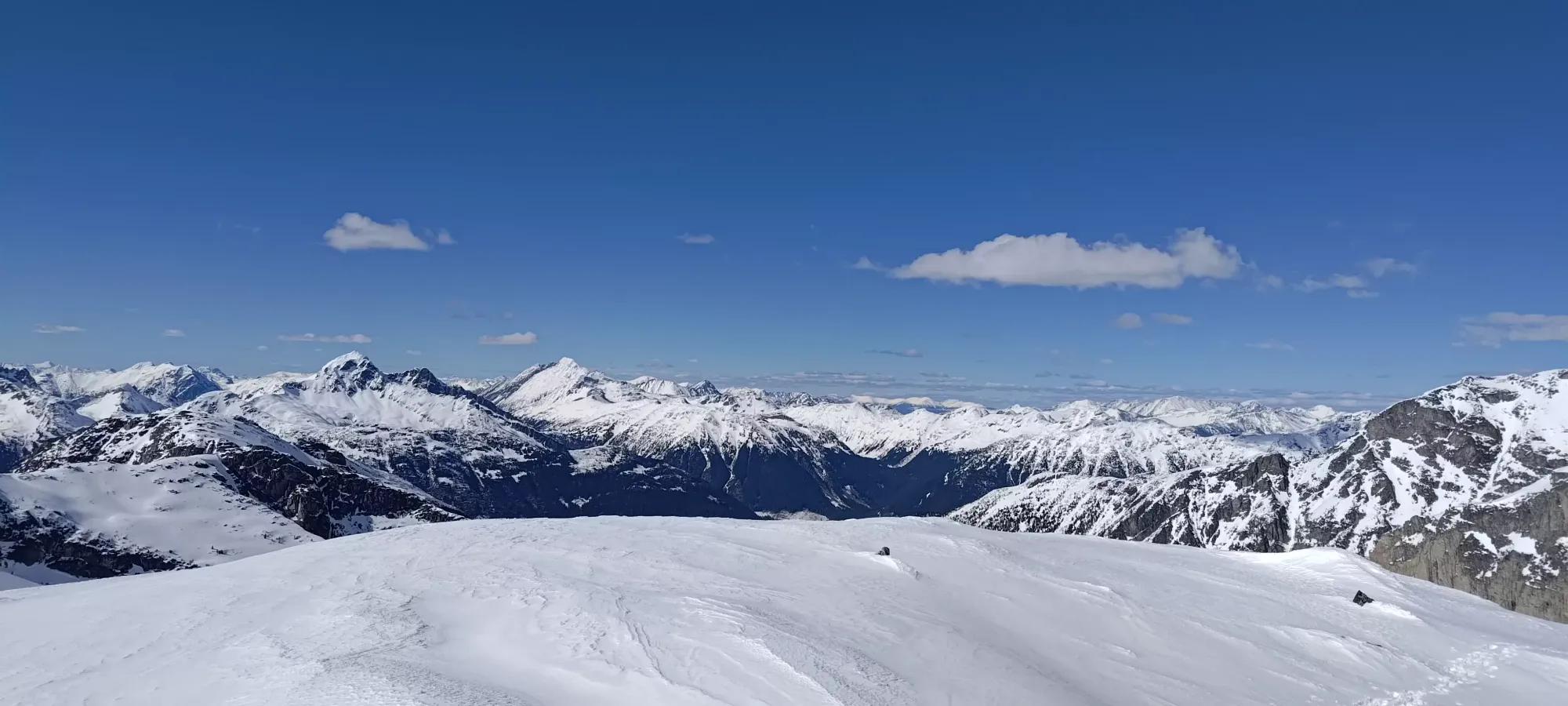
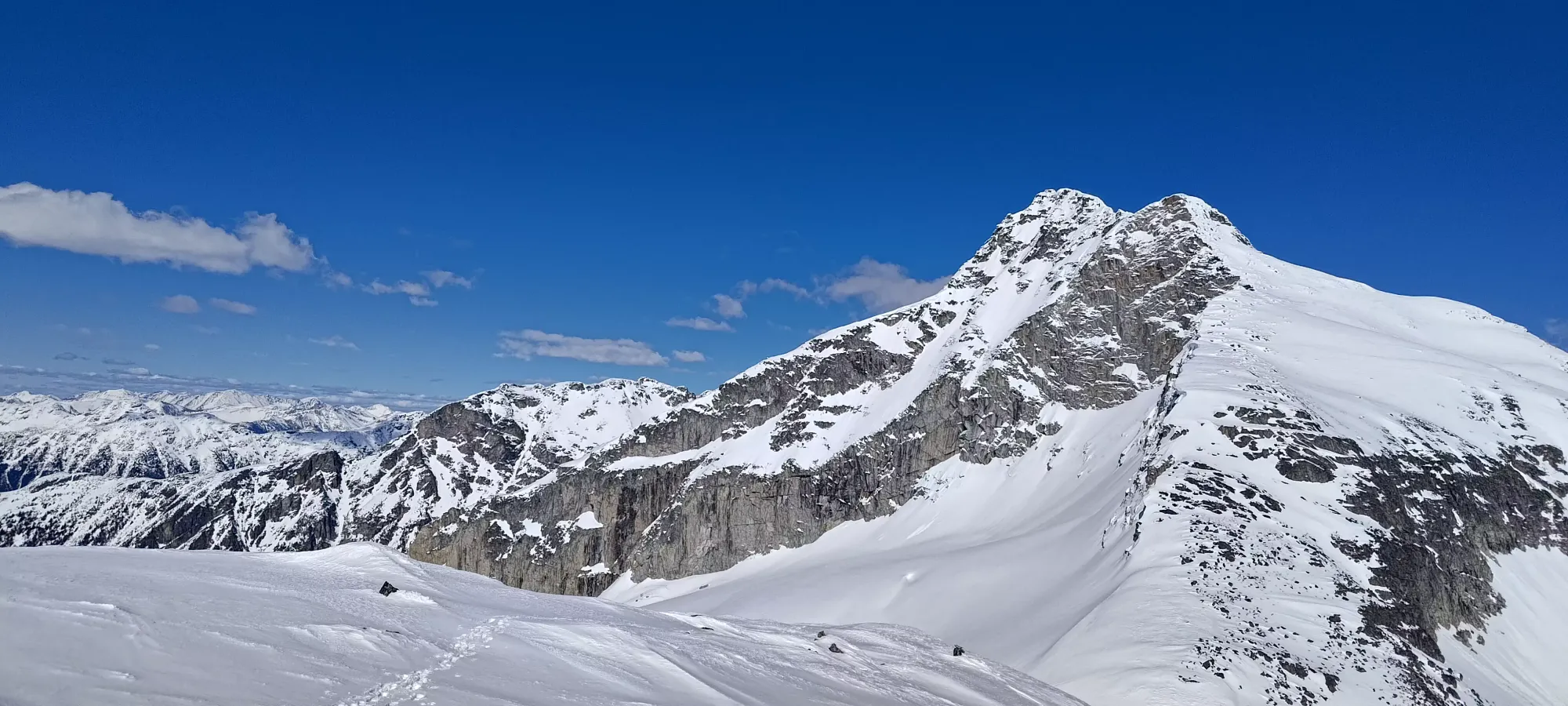
My summit break was about half an hour long. I read through some of the trip reports I had saved, and looked at some maps, and even took a short walk to the edge of the summit plateau towards Taylor, but decided that while the initial descent would be skiable, 1/2-2/3 of it couldn't be seen without going right to the edge of where the terrain rolled over, and I didn't want to go through that effort to find out the answer was "you should not go there in winter". I was alone and kinda tired, and I didn't really fancy sketchy downclimbing on unknown terrain by myself with the evening approaching. I could've skied down to around 1950m or so and gone back up another 400m to Taylor, but I didn't really feel like spending ALL DAY on the mountain, so I just figured I'd save it for another day, and started making my way down at around quarter to 5.
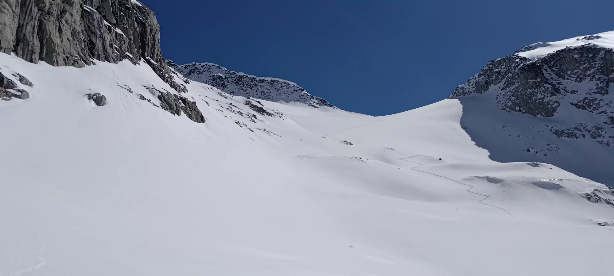
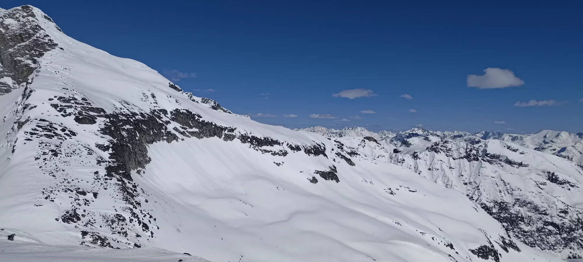
The first 5 minutes of the descent were basically just slowly picking my way back down towards the start of the bootpack, with the slope cliffing out quickly to the north, and rocks everywhere else. I did manage to keep the skis on the whole time, though, so it still counts as skiing from the top! Once I got maybe 10-15m above where the bootpack started, the slope to skier's left was clear and shallow enough to be skiable, so I got to start skiing in earnest, finally. The small bit of shaded snow here was actually quite excellent powder, perhaps even worth bothering to haul the skis to the summit! Once the col flattened out, though, it was just "cruise down to the col" before the excitement picked up again on the glacier.
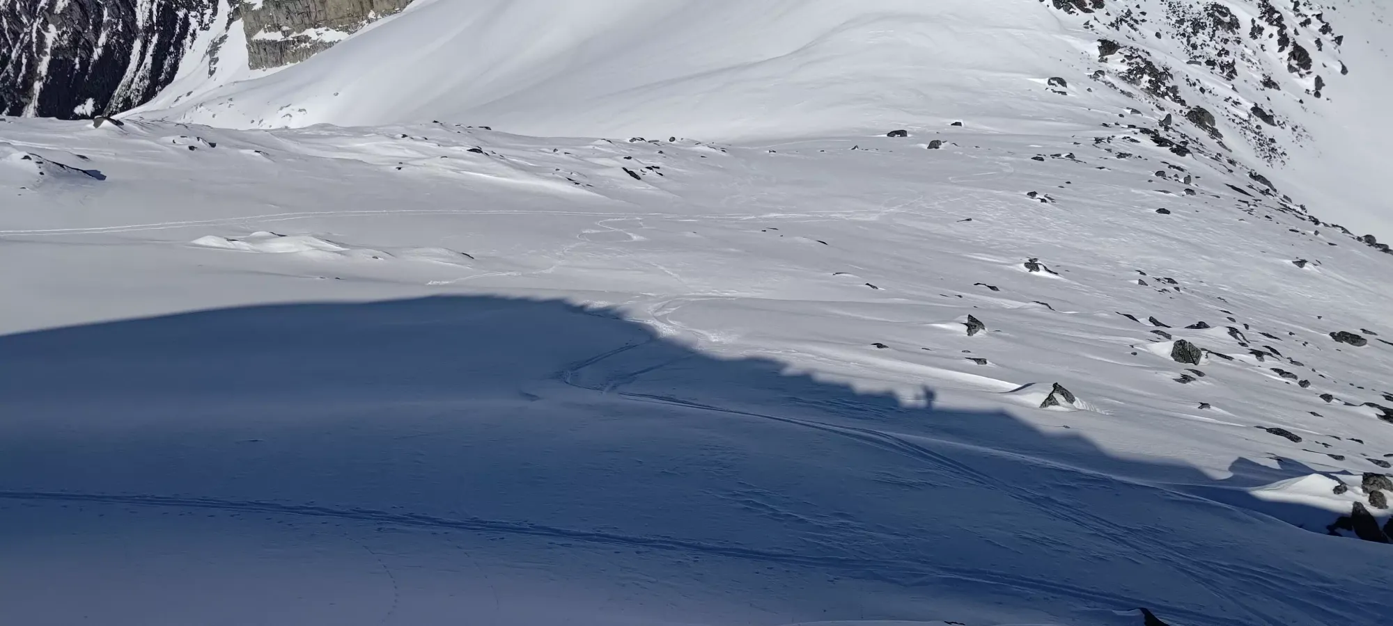
The glacier skied amazingly, and I even tried to film it holding my phone in one hand while I skied down from ~2300m to 2000m, taking under 5 minutes to do so (the practical benefit of ski mountaineering, the fast descent!). I am not nearly the videographer that I am a photographer, and that isn't saying much, so I'll spare you from being subjected to that particular attempt. I did recently pick up an old GoPro from a family member, so if I ever get around to setting that up, perhaps I'll have decent ski footage, but that day was not April 22nd, that's for sure.
The snow on the glacier was fantastic, still dry enough to ski with confidence, and not be fighting it. Not even corn, just "good, fairly cold snow". North aspect hunting was definitely the right call. Below the glacier, things were a bit more variable, but down to about 1750m, things were still cool enough to be fun, not sticky, and mostly good as long as you avoided the obvious wet spots or any wind-affected terrain, which was not that difficult to do.
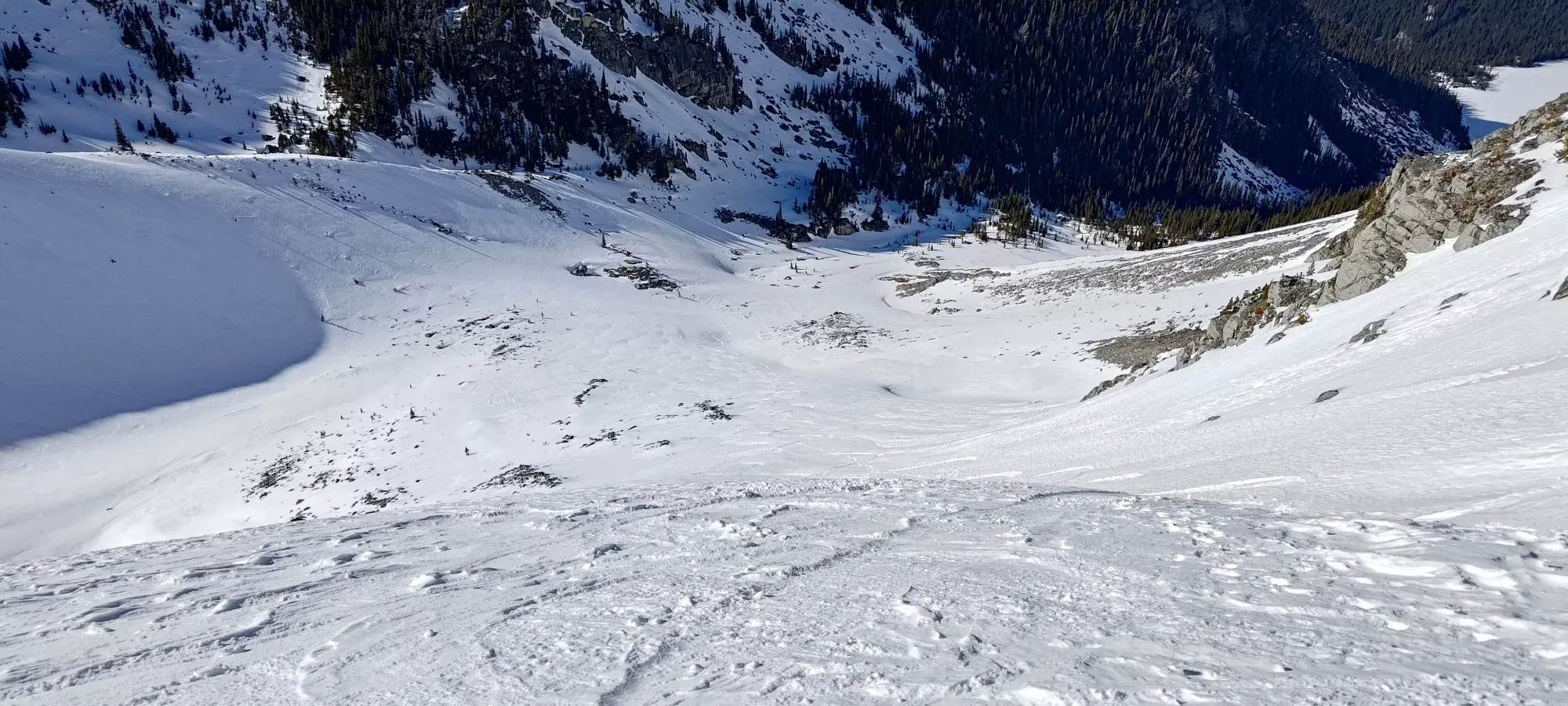
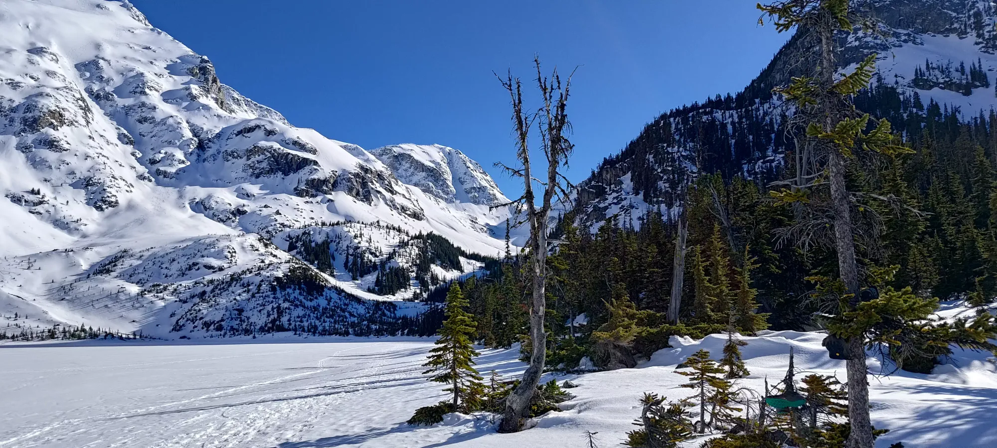
5 more minutes and I found myself down at around 1650m, now done most of the steeper, fall-line skiing. Once you hit the floor of the drainage between the two peaks, you mostly just have to keep high to skier's right to get yourself a good spot to cross the creek I booted over on the way up, and get a nice gap in the tree band that guards the ski out to the lake. I was pretty successful with this, only needing to ski slow through a few metres of tree before things were open once more, and I didn't encounter any open creeks.
From that point, it's not the most engaging skiing, as there's a lot of sidehill-y stuff and without a nice, soft, winter snowpack, a few bouldery spots that you gotta absorb some decent force to ski through. It's still pretty fast and efficient, and the snow was still dry enough to not be sticky, so overall it still gets my seal of approval. The whole run down to the lake from the spot where I stopped dodging rocks and actually got to point it downhill took less than 15 minutes. Can't beat the fun and efficiency double-whammy of skiing to peaks 🙂. 5 minutes of walking across the lake, and I was back at my shoes to get geared up for the walk out.
After 5 minutes spent packing my shoes up and chatting with some others who'd just come down from Slalok, I started hiking my way to the high point between the upper lakes. I remembered that the snow was largely skiable down to the deadfall between the first and second lakes, so I just strapped my shoes to my pack, and decided to boot the uphill sections until I got there, and committed fully to walking out. I ambled for about 10 minutes until I got to my first ski section, which allowed me to get about halfway around the second lake in around 5 minutes. There were some exposed stairs and rocks, but they were all avoidable without damage, as long as one doesn't send it too hard.
From there, it was another 10 minutes until the next skiing section, including a few minutes spent taking my layers back off (it was pretty warm down low). From there, it was 5 more minutes of skiing down to 1400m where I encountered the deadfall, and decided to swap to my shoes and walk down the rest of the way. That last couple kilometres took me about half an hour at quite a leisurely pace, and I was back at the car with plenty of daylight to spare! That's probably the best part of spring (well maybe second-best, the predictable snowpack is pretty great), the fact that the sun doesn't set at 4pm anymore 😀.
Overall, a successful day, even if it wasn't precisely what I might've been hoping to do. A peak, a great ski, and being done with daylight to spare when you just got out of the hospital and started at 11:30 is still a win in my book. 10/10 would recommend this as a fairly straightforward skiable peak, even if it isn't very prominent.
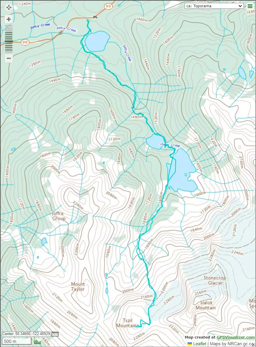
GPX Track + Map