Cayoosh Mountain - March 24 2024
https://tareef.tech/blog/rainbow-mountain/


Place Glacier Group, Pemberton, BC
2561m
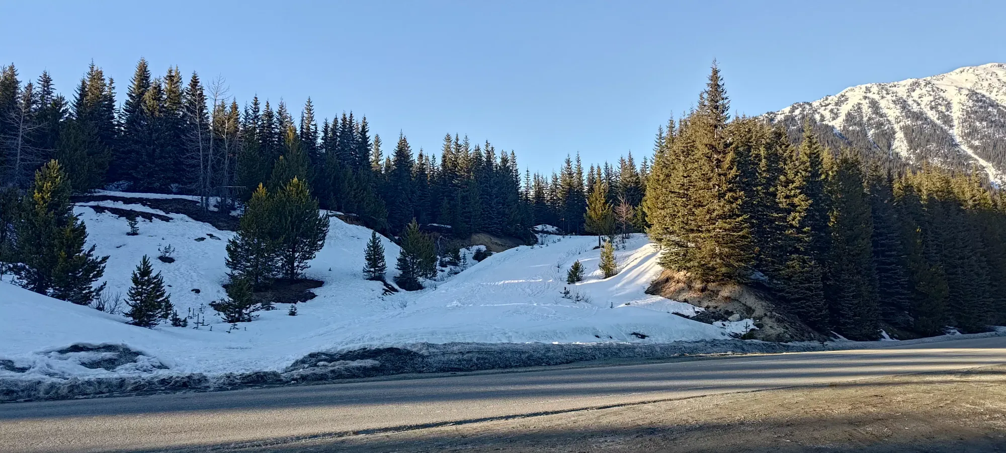
Having taken the previous day somewhat light, ticking off Rainbow Mountain in an efficient ski mission, today was supposed to be the big boi day, with an excellent weather window. Logan and I had some loftier aspirations, but cut them short after I discovered how high the snowline really was, and instead we chose a more moderate objective that still had some prominence, and took advantage of the spring-like conditions, and settled on Cayoosh, one of the p600s in the Duffey. The strong snowpack surface and overall March-ness made for good glacier travel conditions (as far as this season is concerned, anyways), the route should have been skinnable from the car, and it's a pretty good ski with a little bit of a climb at the end to make you feel like a mountaineer. What's not to like?
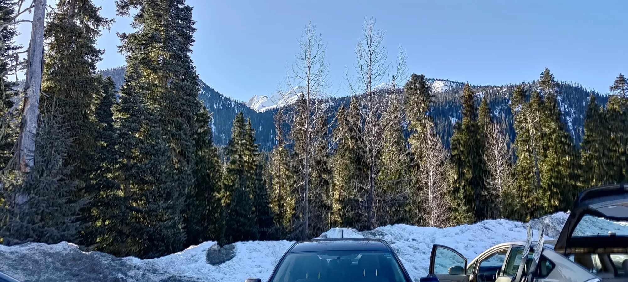
Logan actually crashed at my place the night before, having gone climbing on Saturday, so we left my place at quarter after 7, trying to get at least some sleep after a late night previously. We got up through Whistler without much ski traffic, thankfully, and hit Pemberton in just about an hour. I had to take a half-hour bathroom break there, unfortunately, but hey, better than on the trail! On the plus side, that ended up making our traffic timing great, as once we got out of Pemberton, we didn't have anyone in front of us on the single-lane highway up to the parking area, which was pretty great. We got geared up in a fairly busy parking lot (over a dozen vehicles), and started moving at 9:23am, a bit late by alpine standards, but given the conditions, we weren't too worried, and I was hoping it might be the perfect time to get good, soft snow on the way down.
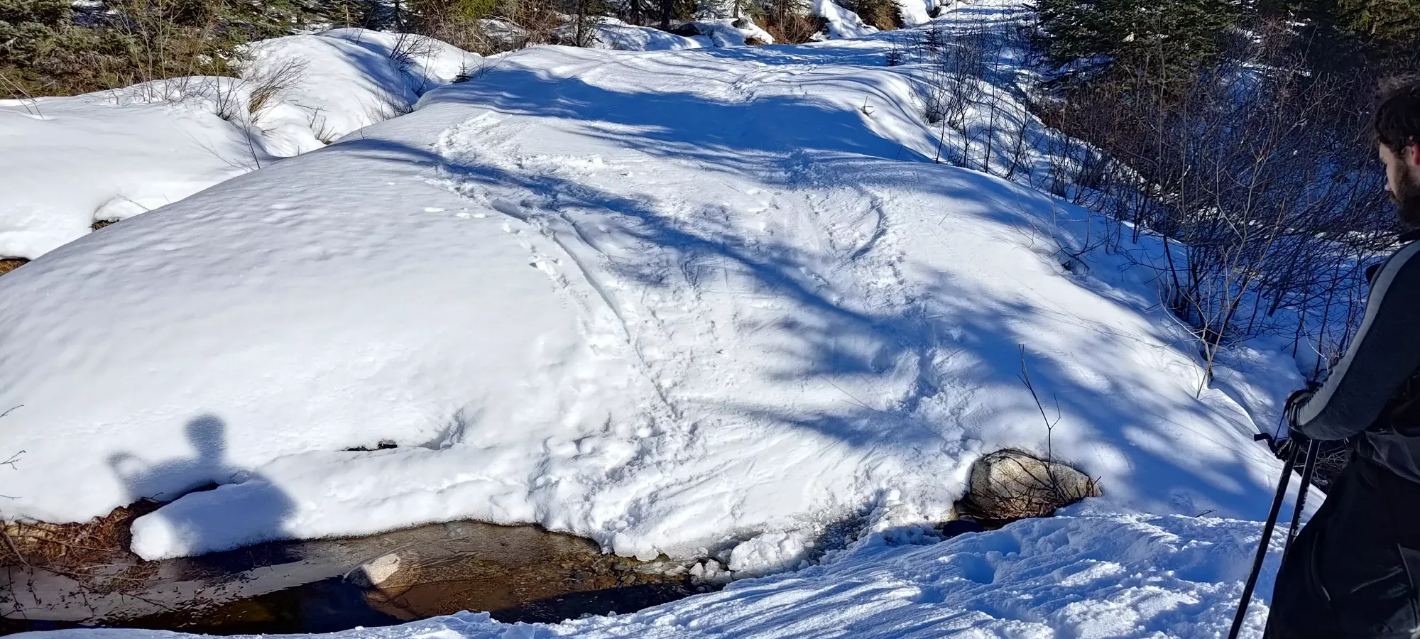
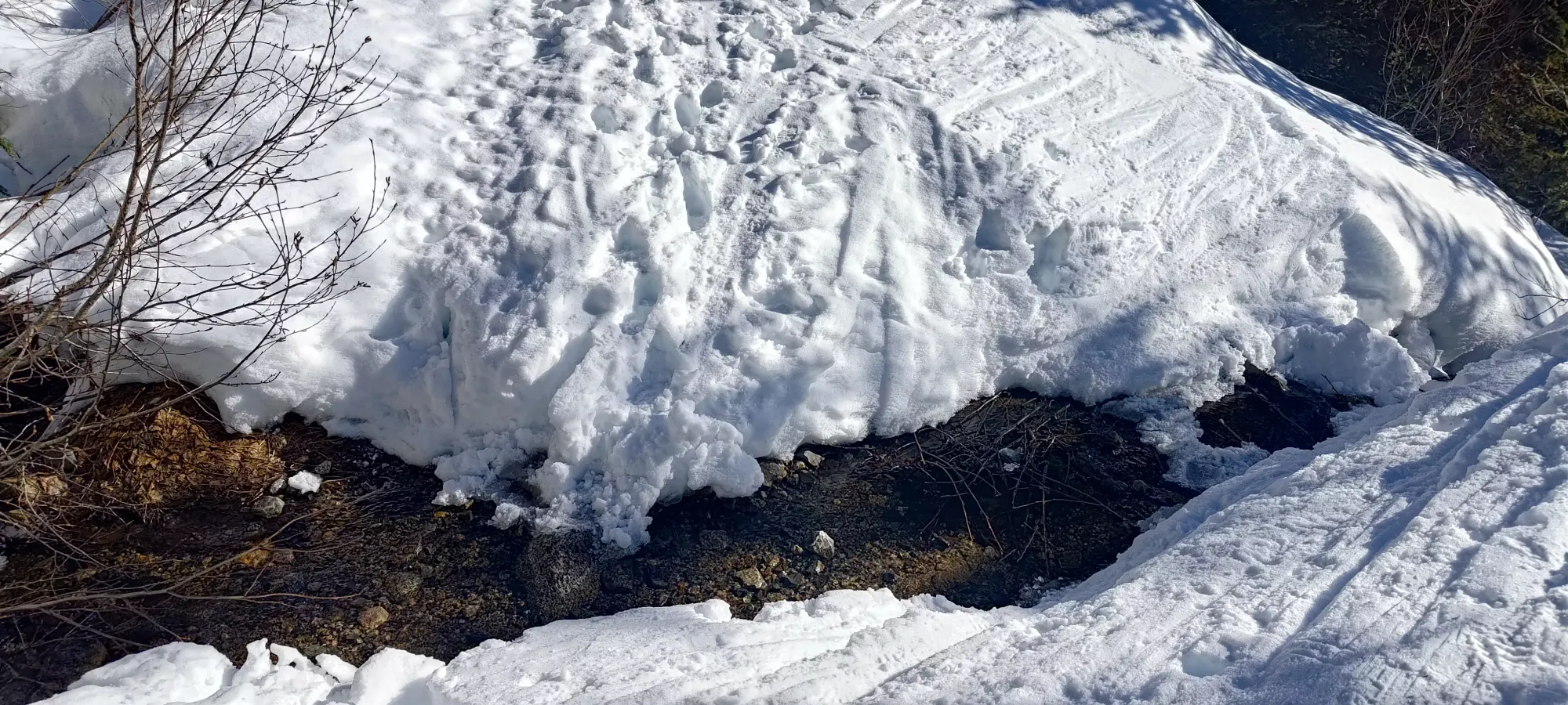
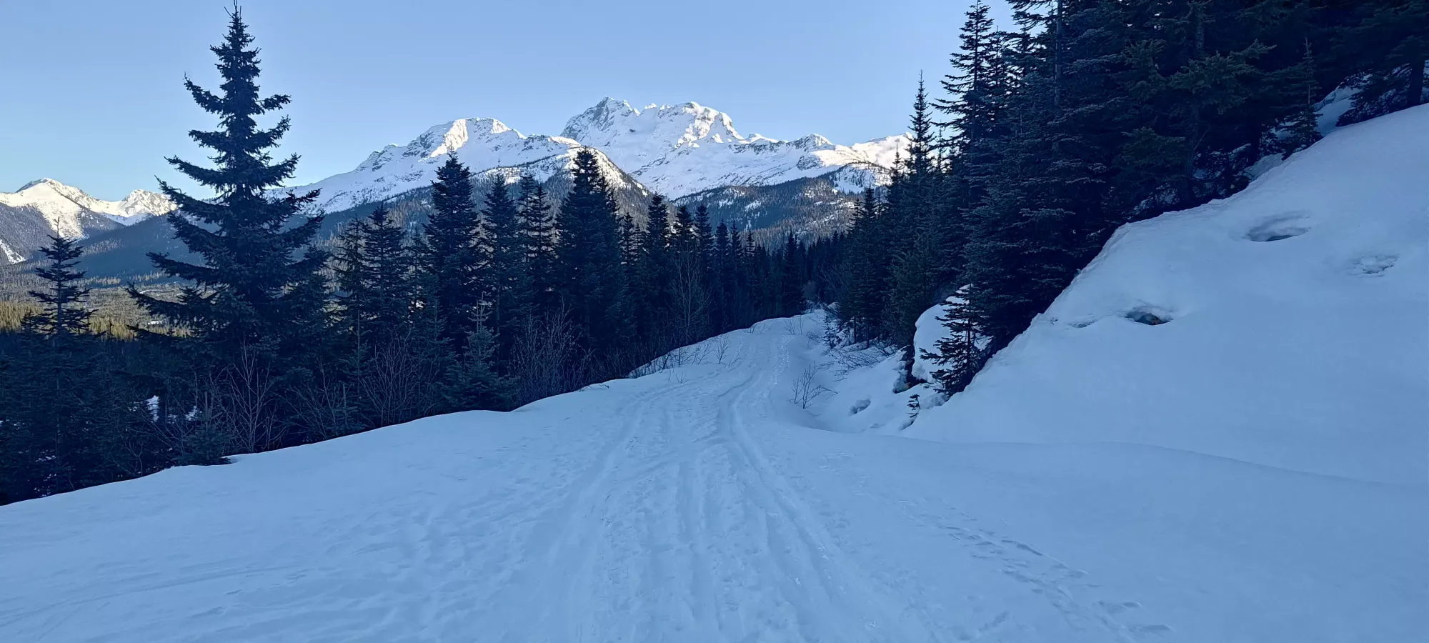
The road was pretty crusty/frozen, which made for very easy travel, Logan didn't even bother with snowshoes at all. Since I was touring, though, I skinned, as carrying skis on your back kinda sucks. We saw an open creek or two, but for the most part, the cross-ditches were bridged with snow, and didn't require the removal of skis.
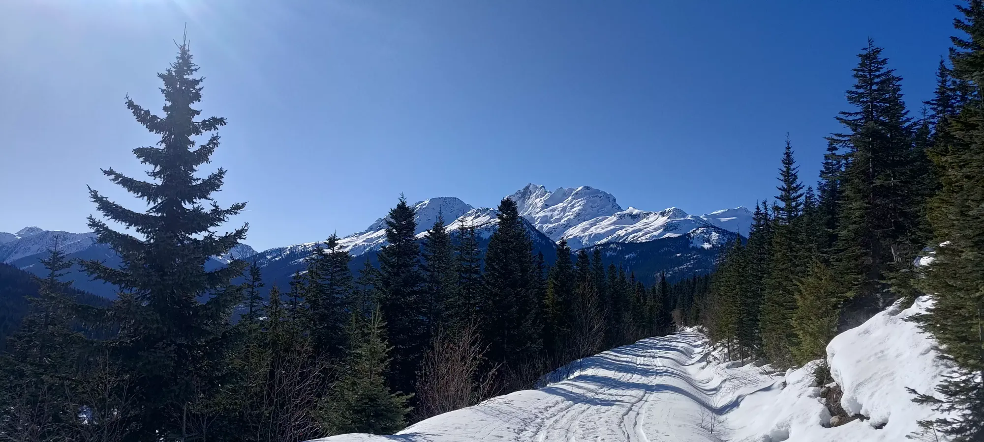
The road is pretty uneventful for about 2.5km, just a wide, easy walk without any obstacles of note (other than creeks/cross-ditches). After this, though, the road gets a more deactivated makeover, and (at least in this season's low snowpack) has a decent amount of alder poking out to make things a bit more tricky. Thankfully, we had just enough snow to be able to skin (or ski on the way down) through without getting caught or having to fight through thick branches, so it didn't slow us down much.
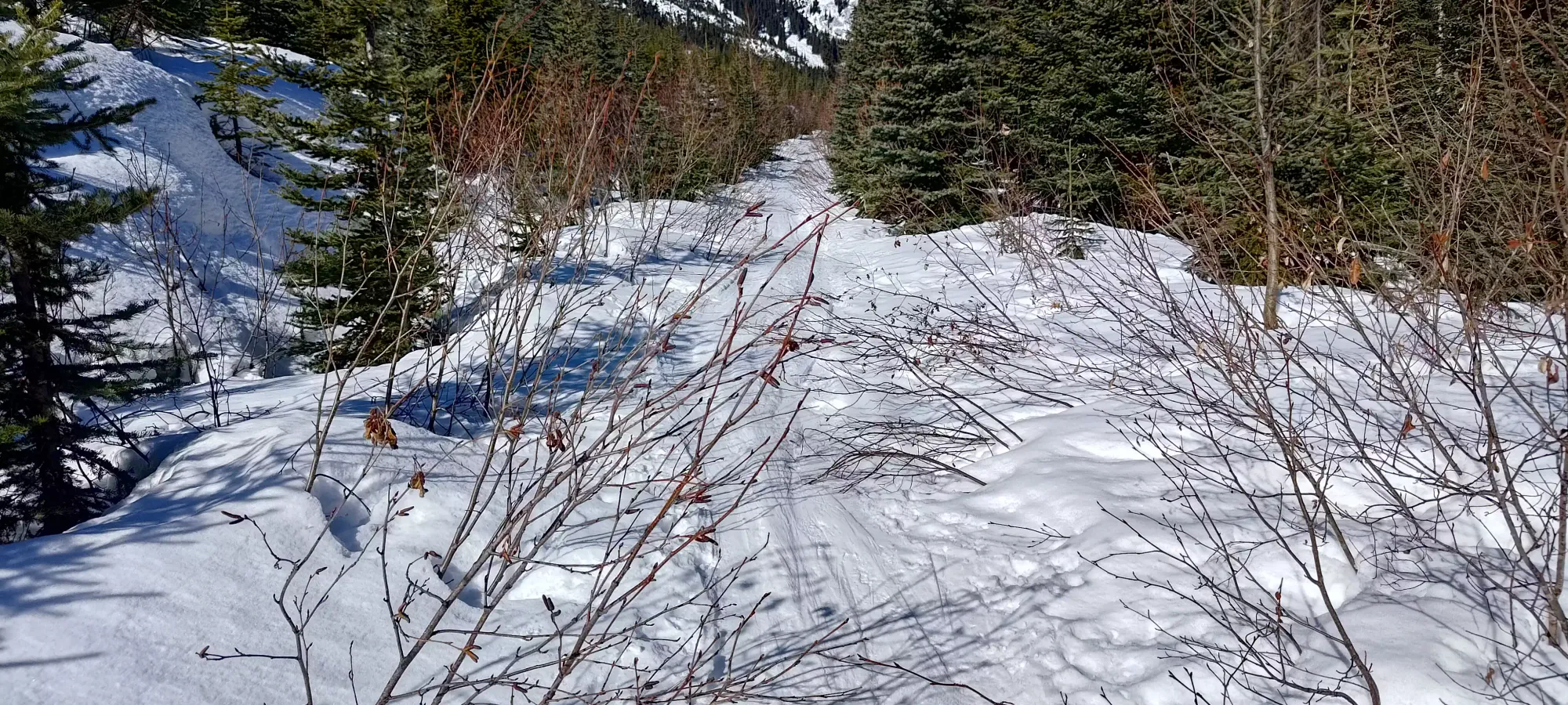
This section only lasts for about 500m or so, and then you enter "just the forest", though on a fairly wide and, for us, very well-broken trail. We hit this point in about 55 minutes, having gained about 150m over those 3km (so sadly quite mellow/flat in places).
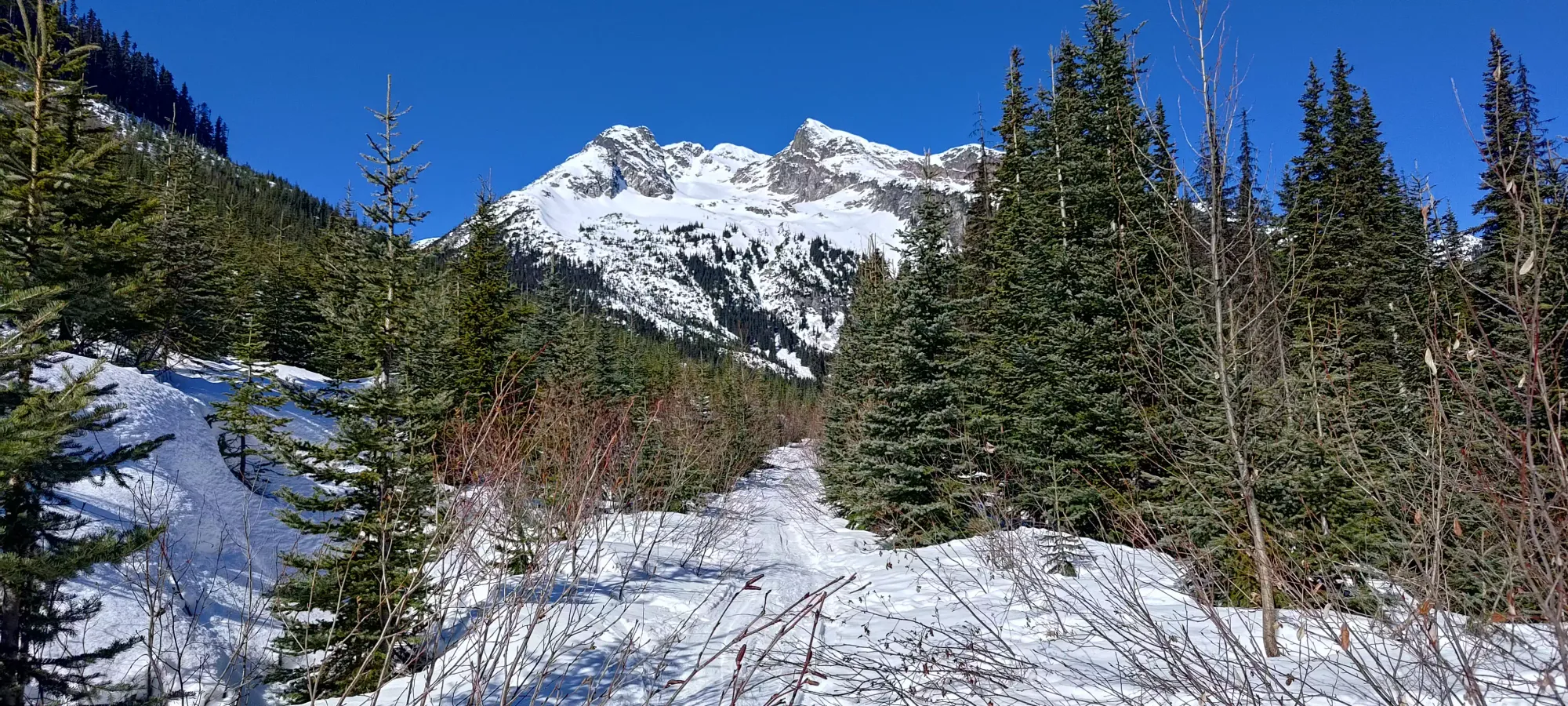
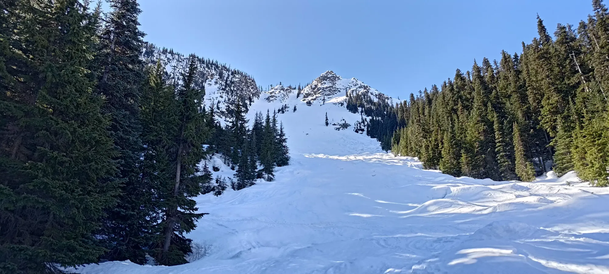
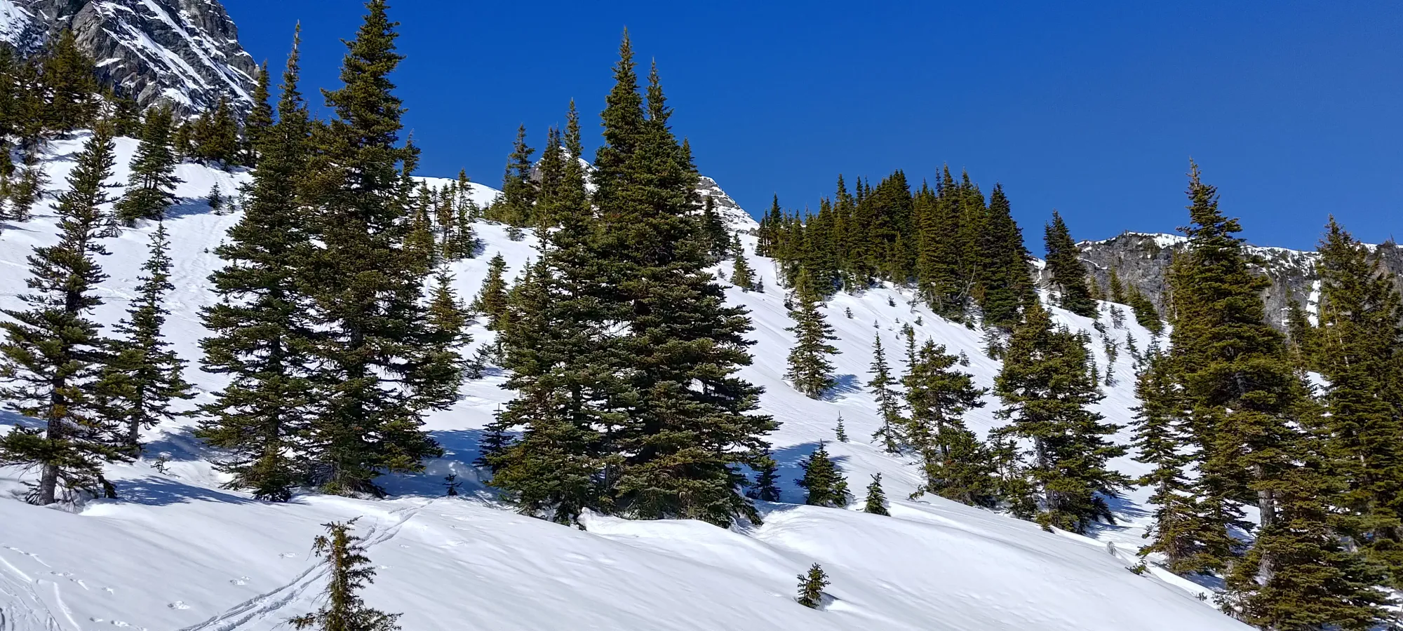
In about 10 minutes, we found ourselves at the bottom of an easier backcountry line called Ottoman. It looks like pretty fun, easy skiing with some pillows in the winter. On this crusty morning, though, I was happy to only be going up it. We wandered up it until about 1600m elevation, where we turned off into the forest towards a small lake where the route would turn north. Getting up the ski line took about 15 minutes, and we spent about another 20 to get to the lake from there.
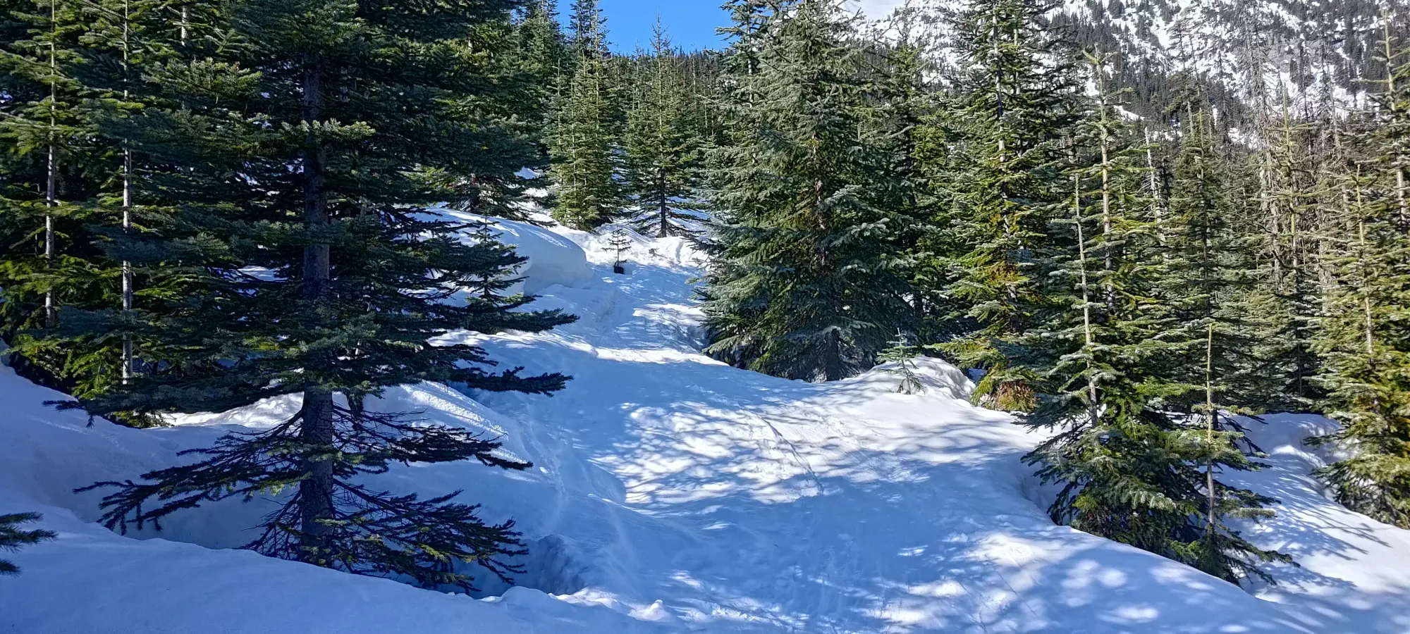
The forest to the lake was brief, although there were a couple spots that were a bit tricky to skin with the steepness of the skin track and firmness of the crust. One spot in particular annoyed me, as the only feasible way up was destroyed by boot tracks such that one's ski tips would get lodged in and you'd be stuck, so I had to take my skis off to make literally one step. That was annoying. Logan slapped his own snowshoes on after this to avoid adding to the problem (plus there were a few sidehills and steeper sections that he wanted some metal on his feet for).
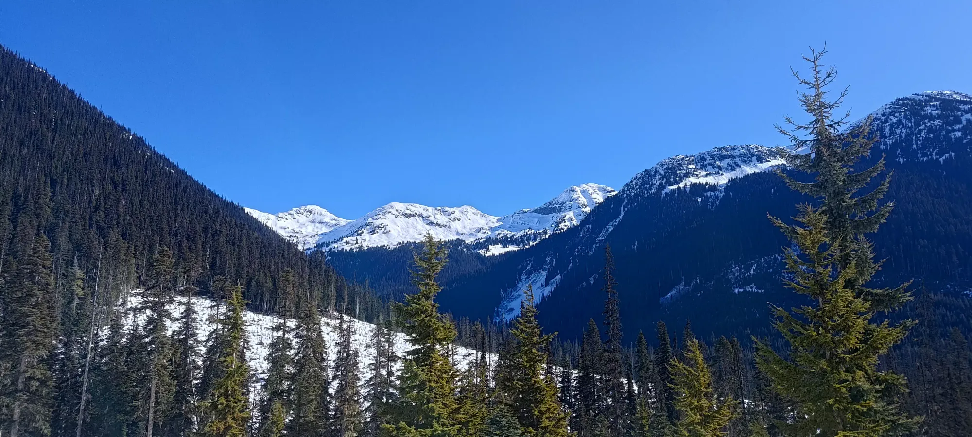
Once we dealt with that, though, there was a large, open traverse below the slopes of the ridge to the south that brought us to the lake, where we met our first party to pass for the day, a sign of many to come. Once we re-entered the forest after the lake, we passed quite a few parties of skiers. I told Logan it'd be a busy day with the weather window being what it was (clear skies, stable snow, and no wind), and I was right! We continued past a few groups, though not setting a blistering pace by any means ourselves, until we broke out of the forest a bit above 1700m, where we had a couple small rolls to climb before we got our views back. We also ran into a fellow peakbagger who made a very alpine start and was already on his way down! Crazy stuff!
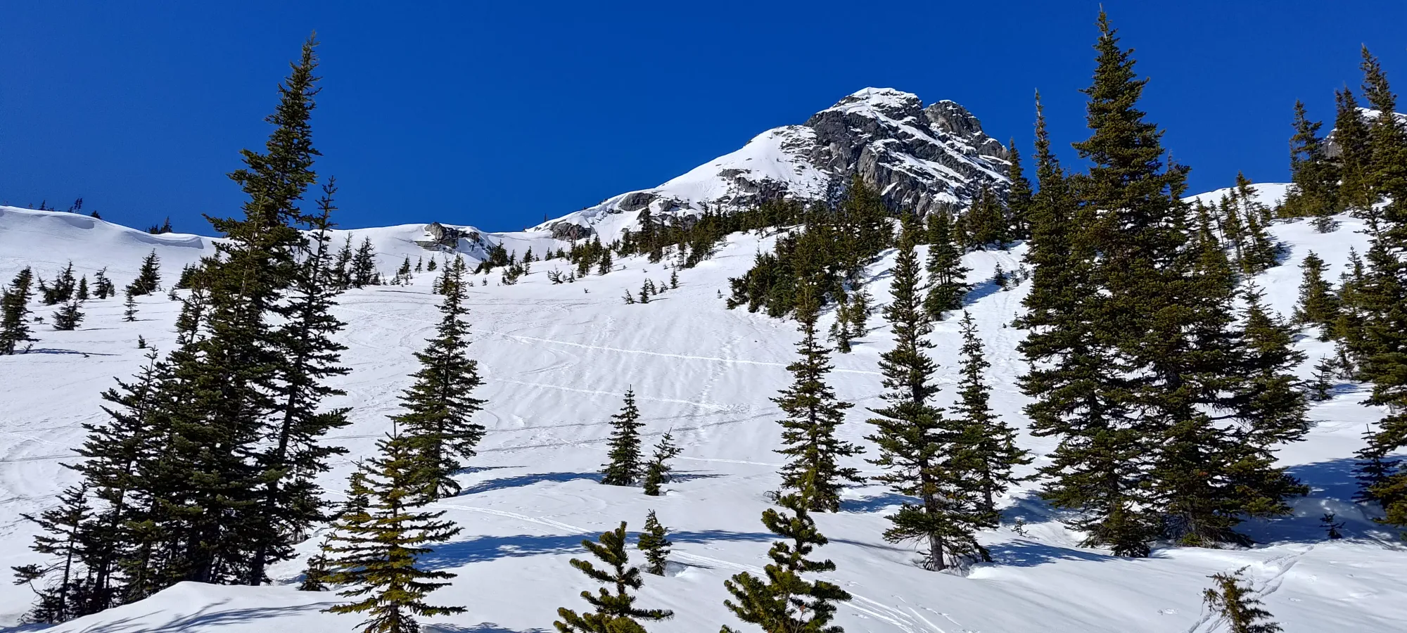
We passed a couple more groups in this zone before things spaced out a bit more. Once we got around the end of the east ridge, we found ourselves below the toe of the Armchair Glacier, with a couple options to get up to it. We took the climber's right variation, which worked well for us, as it seemed gentler, which was good in the firm snow. We curved around the true toe and joined the ice proper just below 2100m, which was around 12:30pm for us, or a bit under 3.5 hours into the day.
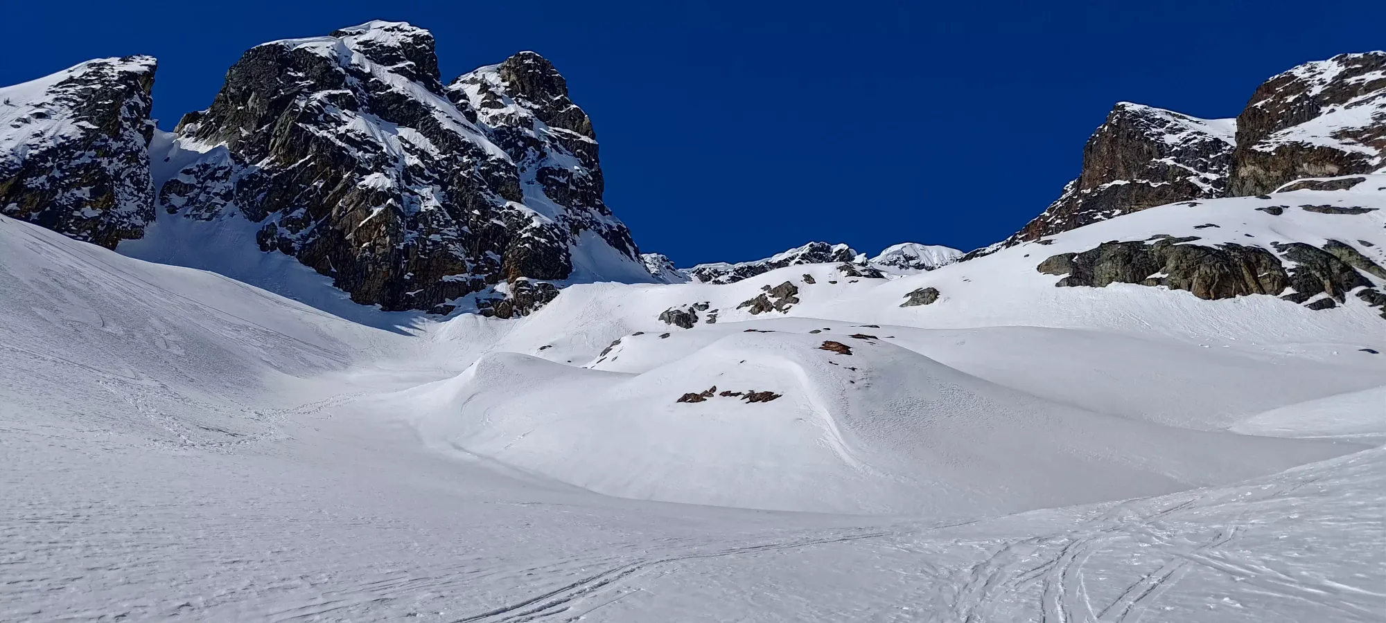
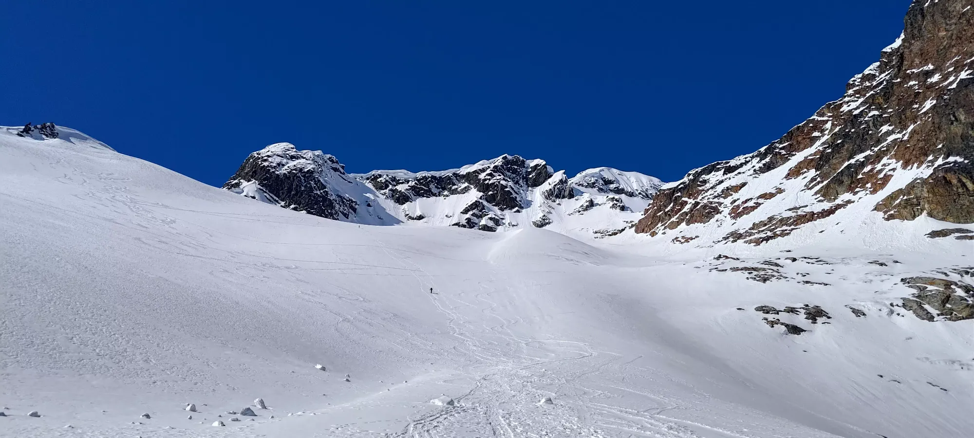
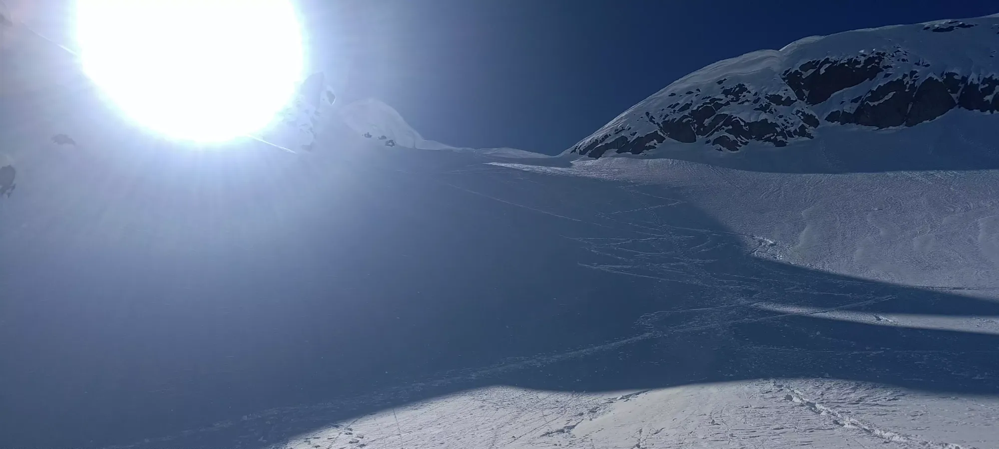
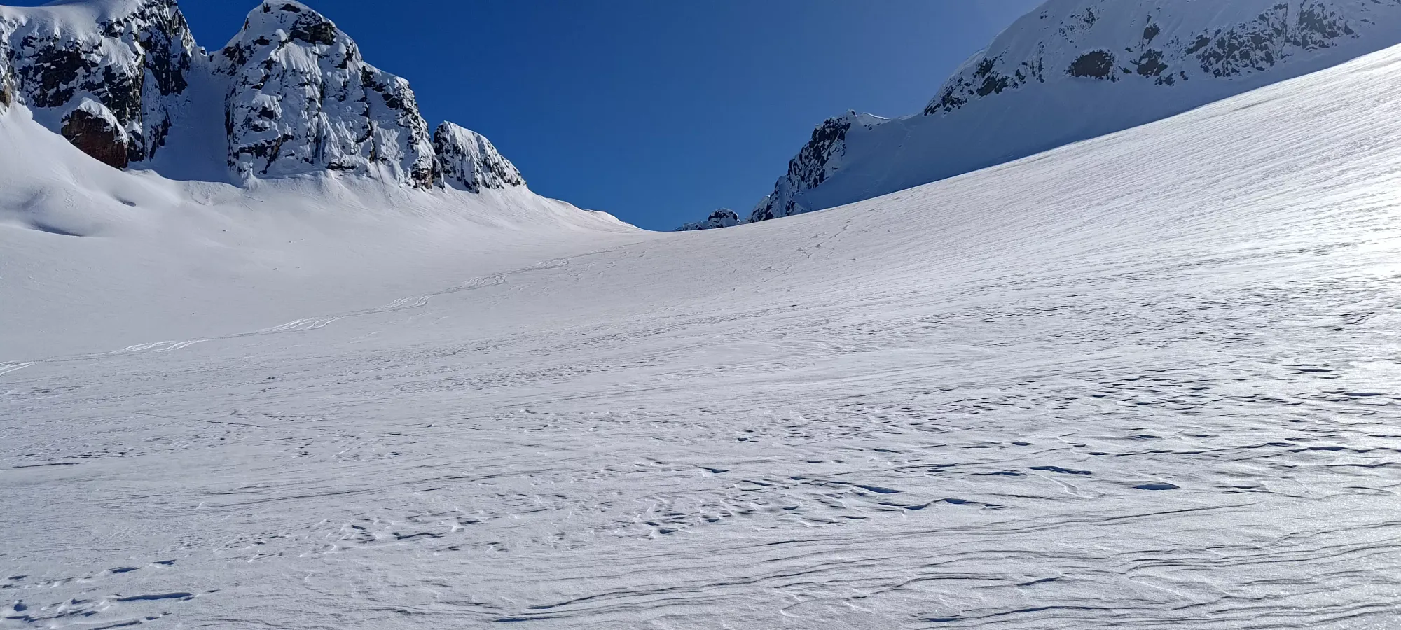
The glacier was a pretty tiring slog, which we did in one push up to 2350m, which was our designated rest point, being sunny and fairly flat. Logan took the direct line up set by booters/snowshoers, whereas I followed the winding skin track across the wider glacier. We arrived basically at the same time, each of us passing a lone snowshoer whose party had left him behind and gone up beyond the pass at the top of the glacier (but they were in radio contact, at least). This punch took us up about 300m in 45 minutes, so we were still moving at a decent pace, if not exactly record-setting (my benchmark for an acceptable pace in good terrain is about 300m/hour).
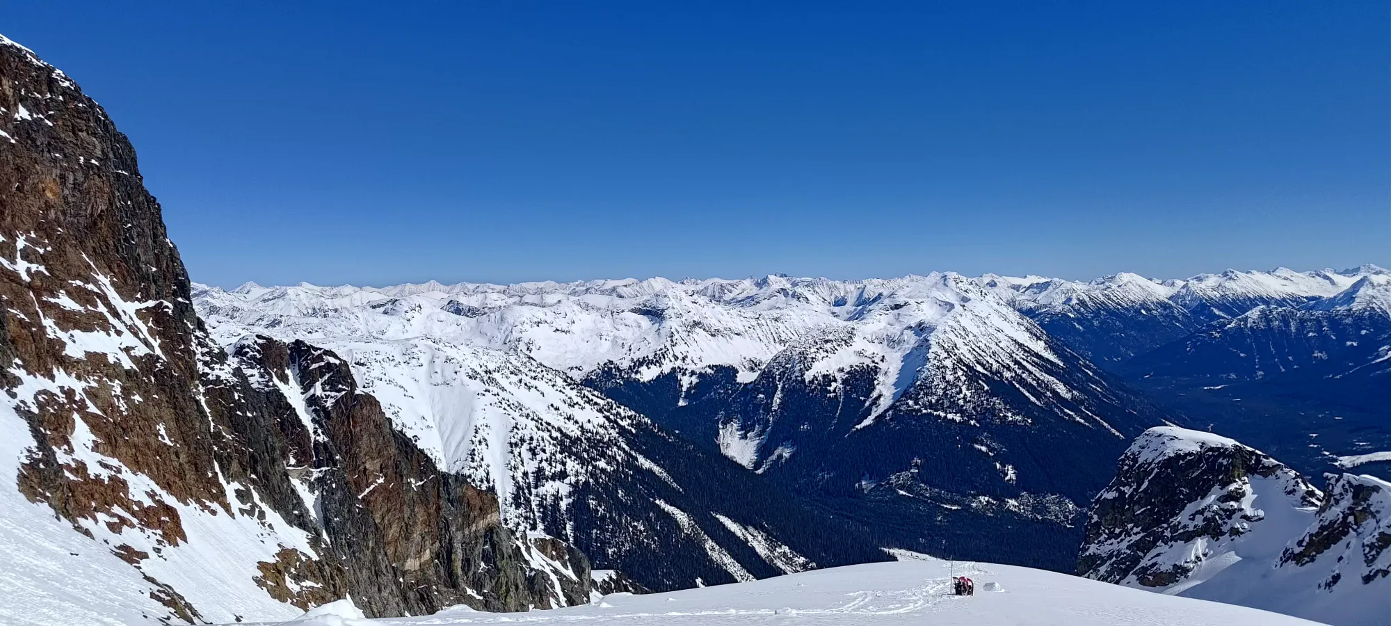
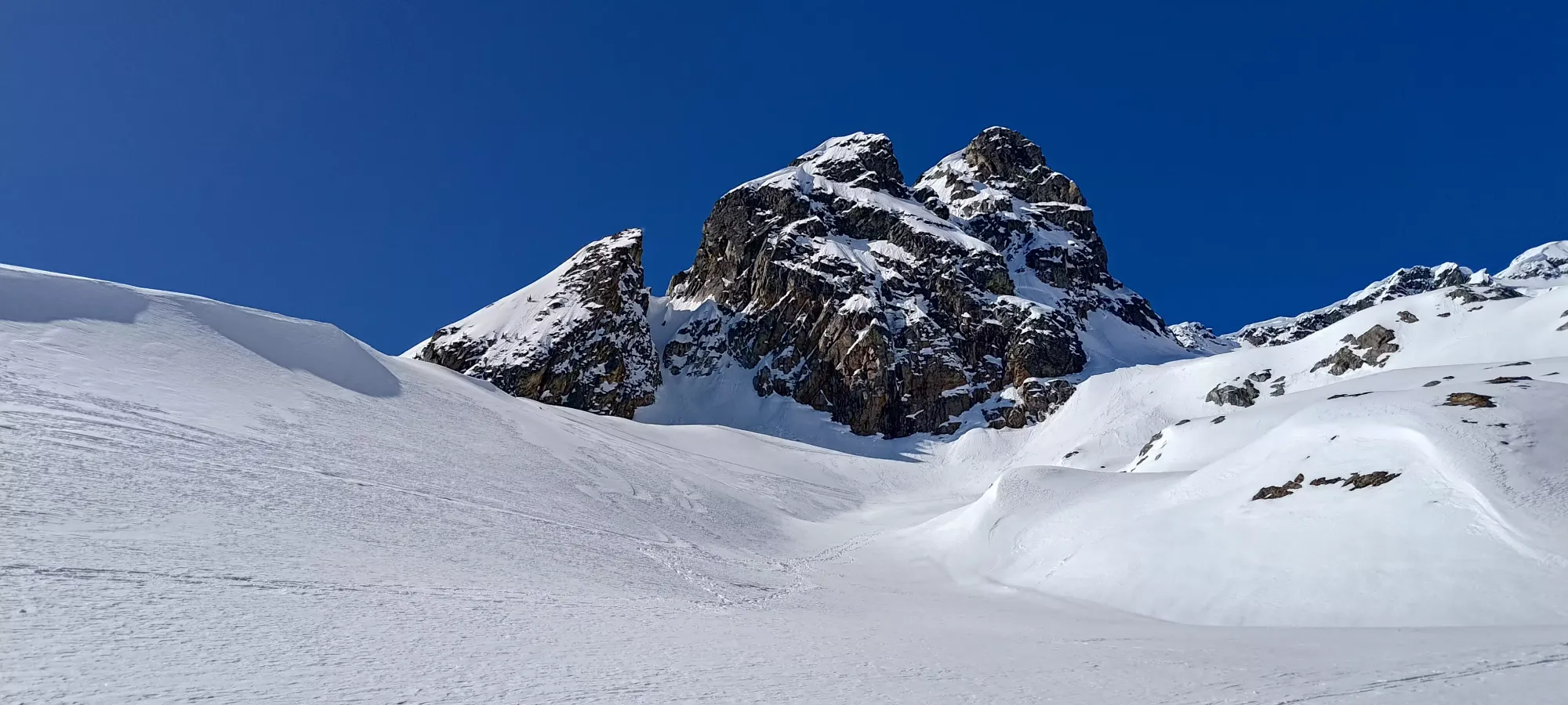
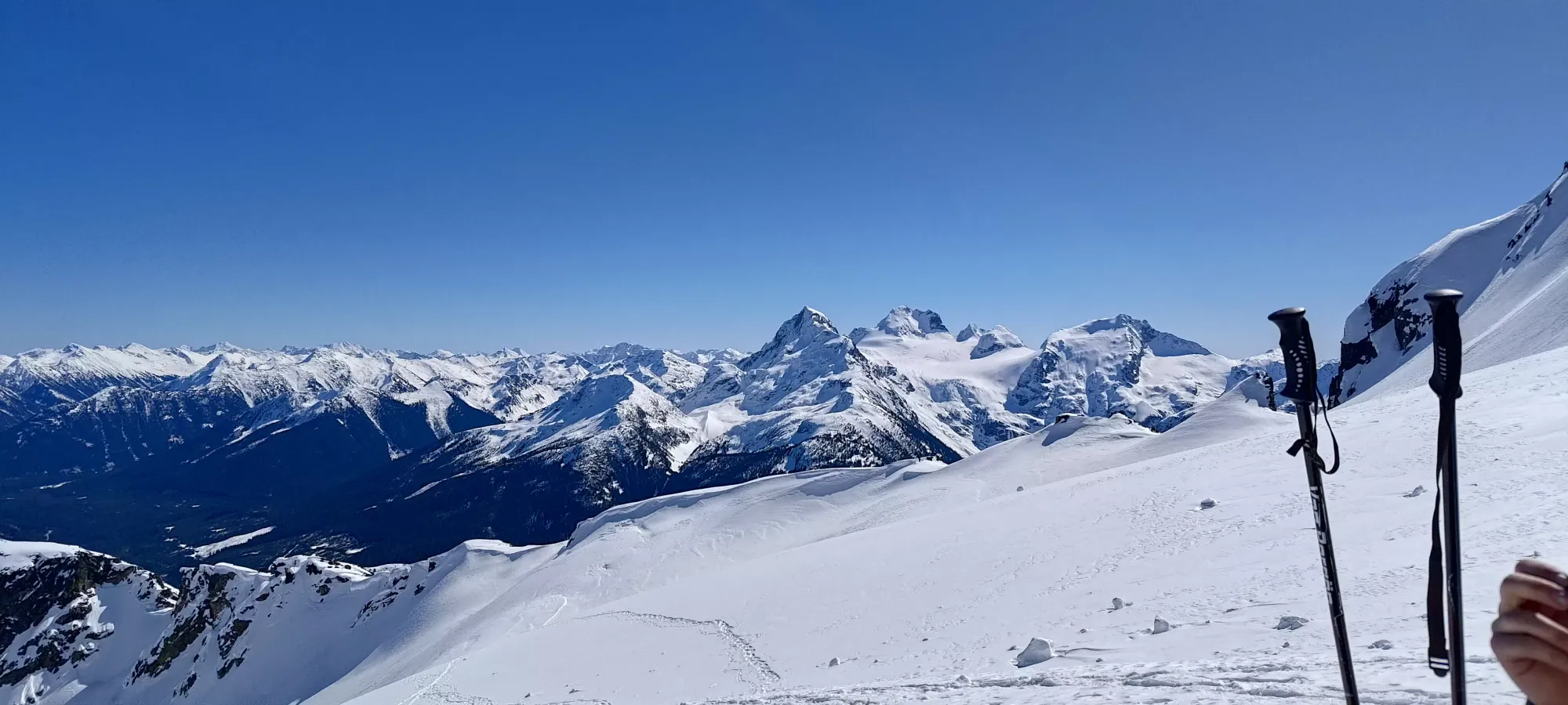
We had a 20-minute break up at 2350m, long enough for the snowshoer we passed on the glacier to catch up. Logan had some snacks, and I wistfully wished I had enough confidence to do the same, but instead I just made do with a few sips of water, trying to not rock the boat in my stomach. I was feeling tired, but I knew I'd be alright and not-too-slow pushing for the summit, so there was no need to risk anything. We enjoyed the views and comfortable weather (no need to layer up even when stopped), and got moving at about quarter-to-two.
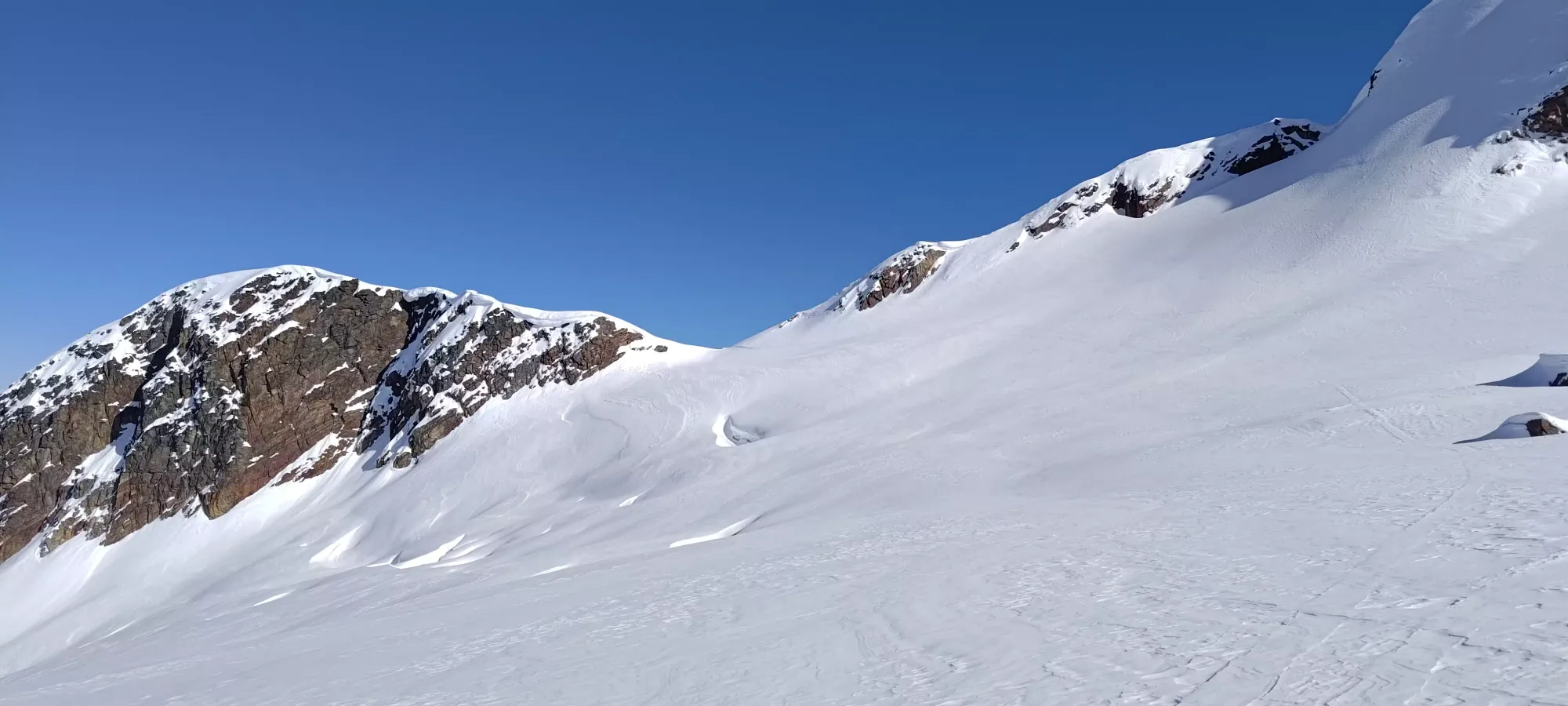
We skinned/snowshoed for a couple minutes past this point, but unfortunately, the skin track for the last ~25m of elevation gain before the pass got kinda destroyed by snowshoes and boots, to the point that it wasn't really skinnable anymore. With the snow as firm as it was, I couldn't really break trail in a fresh spot, so I had to awkwardly transition on the steep slope and slap my skis on my pack to continue. Thankfully, once I did, it was fairly smooth sailing, and the rest of the way to the pass was quick.
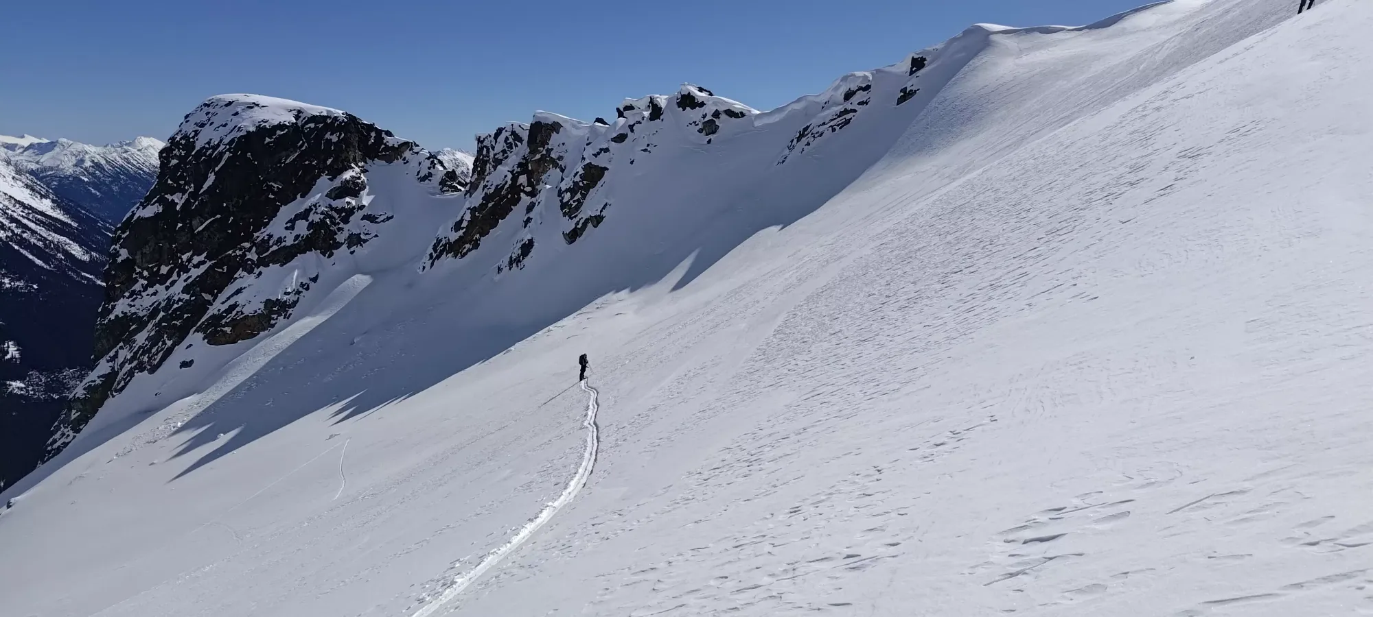
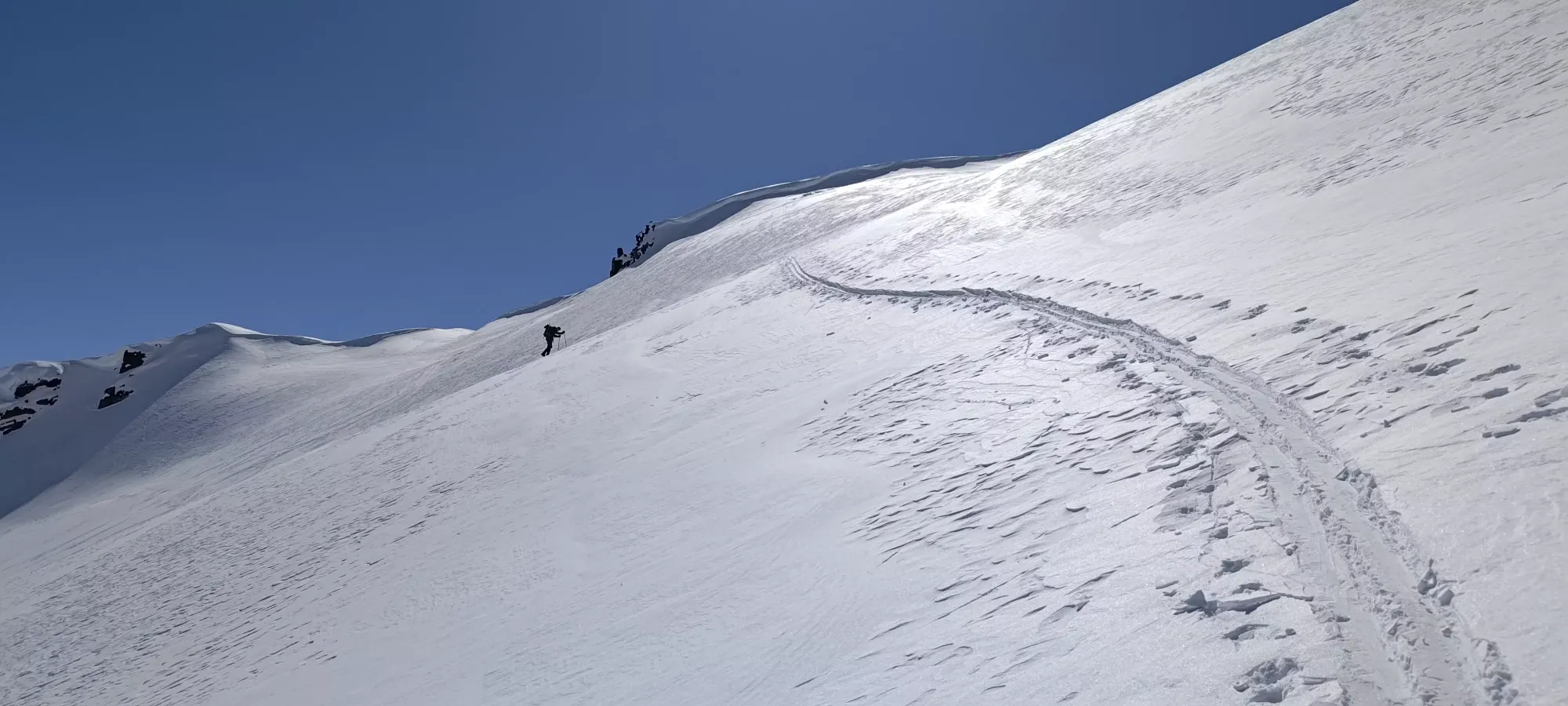
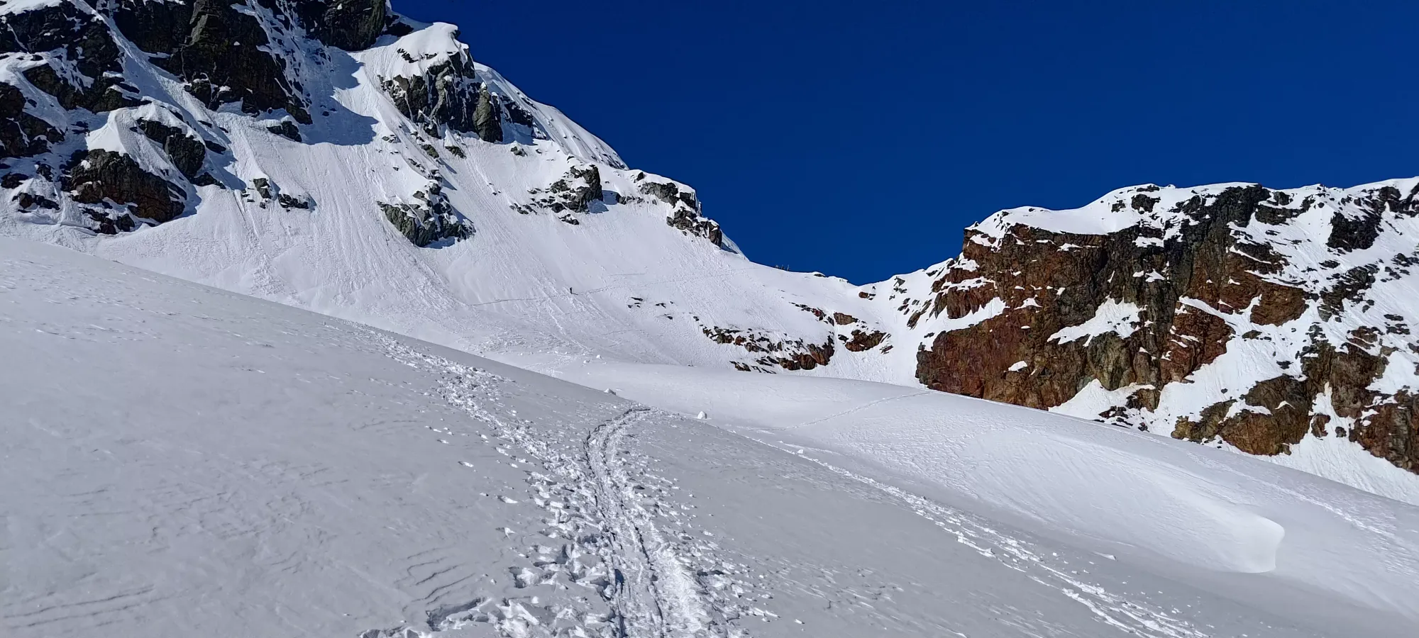
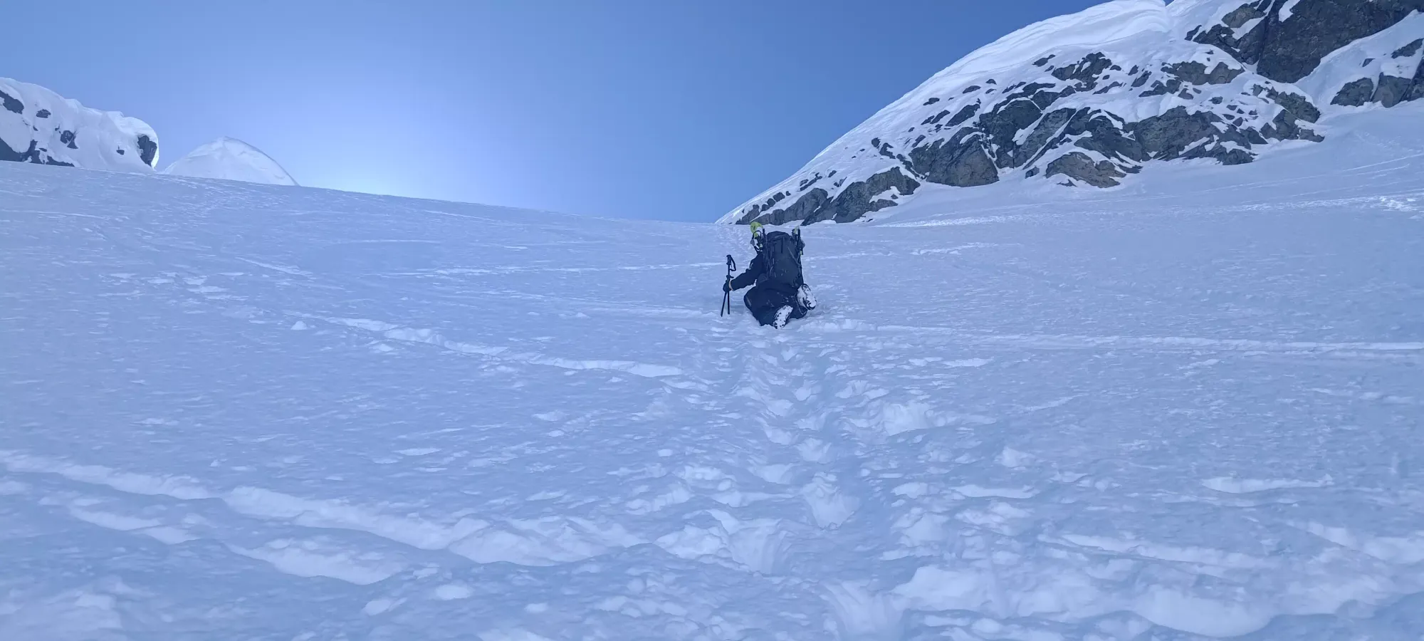
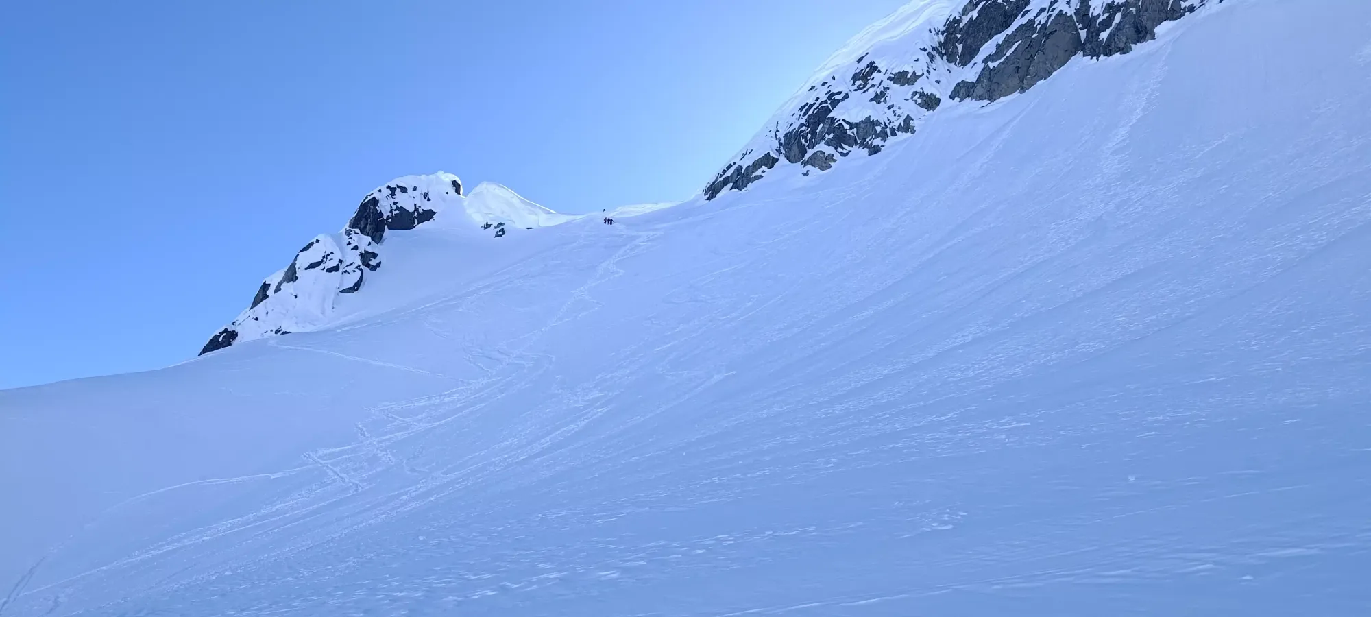
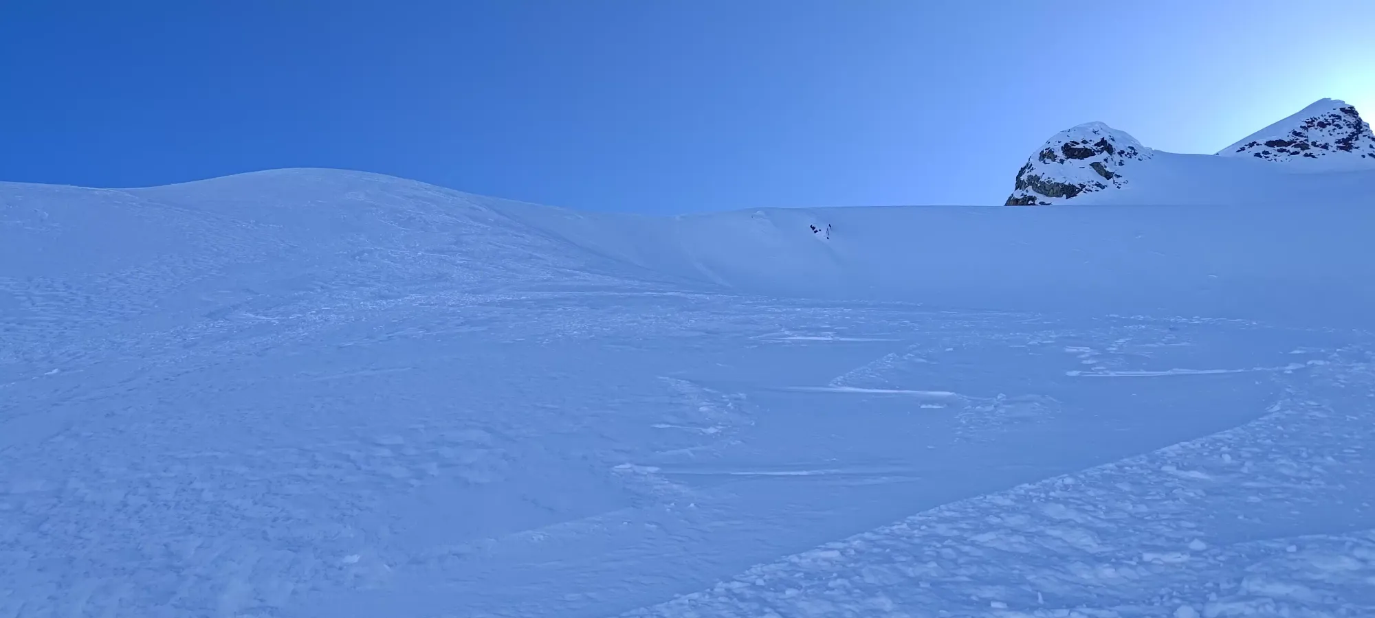
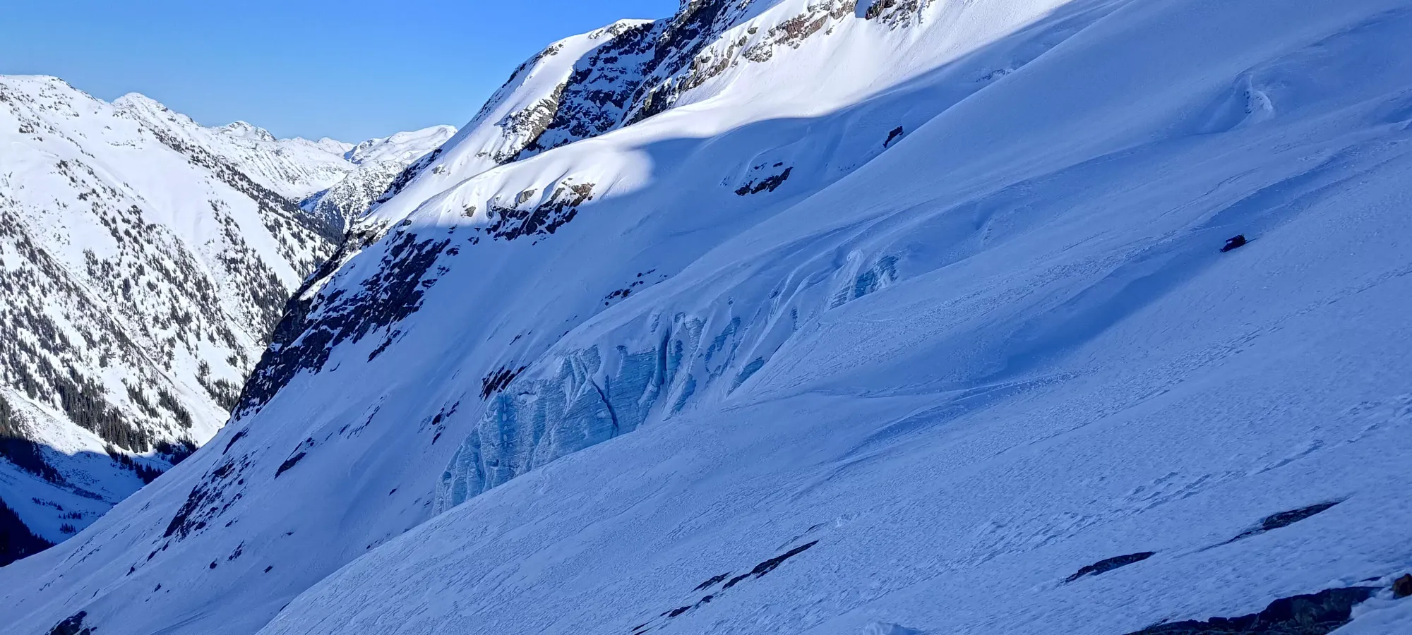
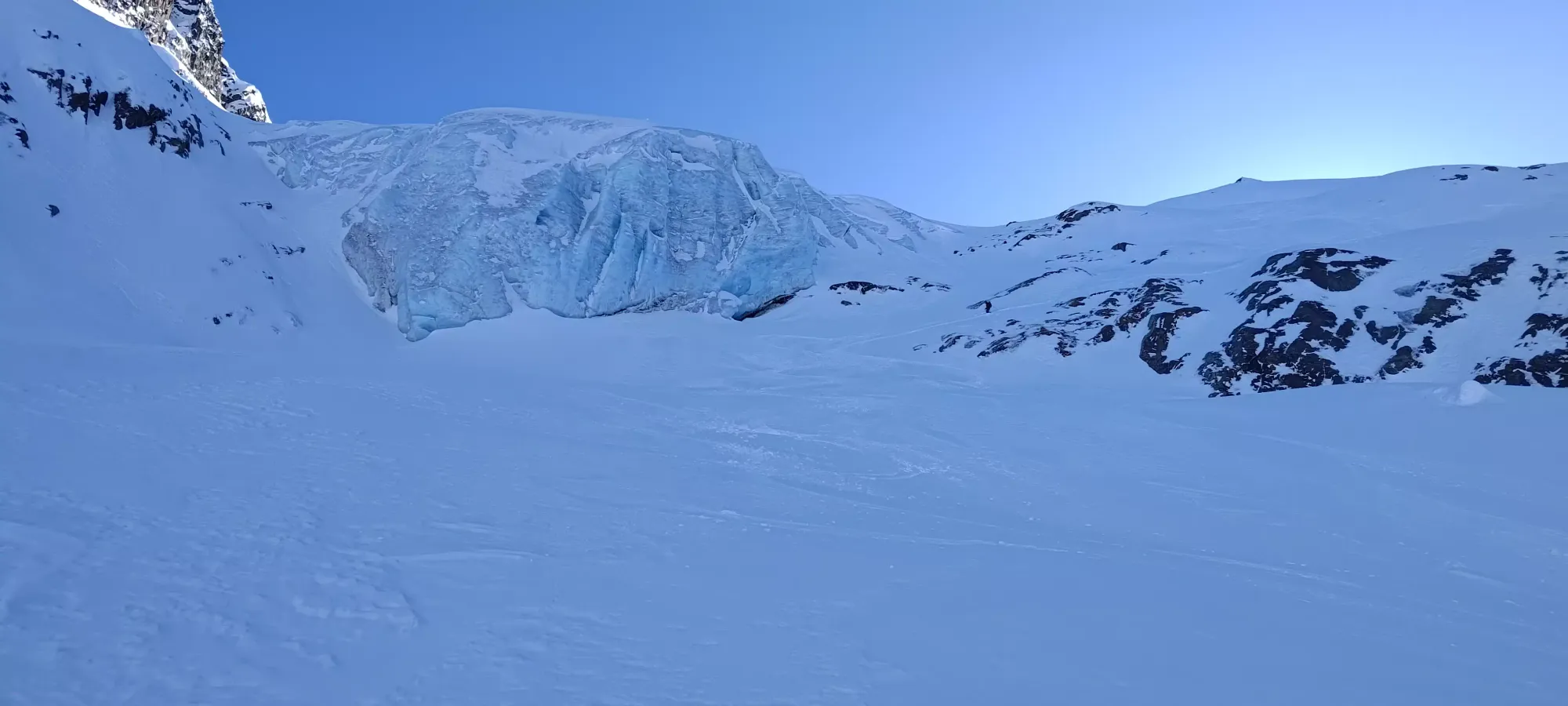
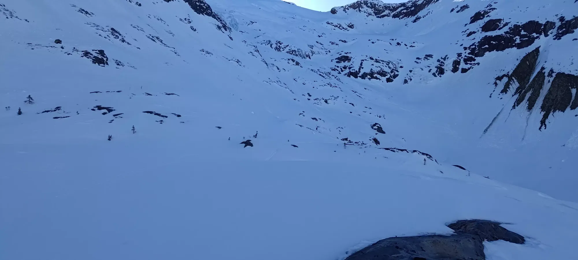
Once we got over the pass, we found ourselves at the top of the north glacier, and below a steep slope with about 150m to gain before the summit. I saw some semblance of a skin track, so I decided to try and skin as much of it as I could before having to swap to bootpacking. Logan decided to just keep booting it, since there were already tracks, and he knew he'd eventually have to take them off anyways.
I made it a few switchbacks in before they kinda just... disappeared. It wasn't the easiest skinning in the world, I needed both risers, and the kick-turns were quite steep. Once the tracks died off, I was honestly pretty happy putting the skis back on my pack and following the direct boot up. It was much easier going.
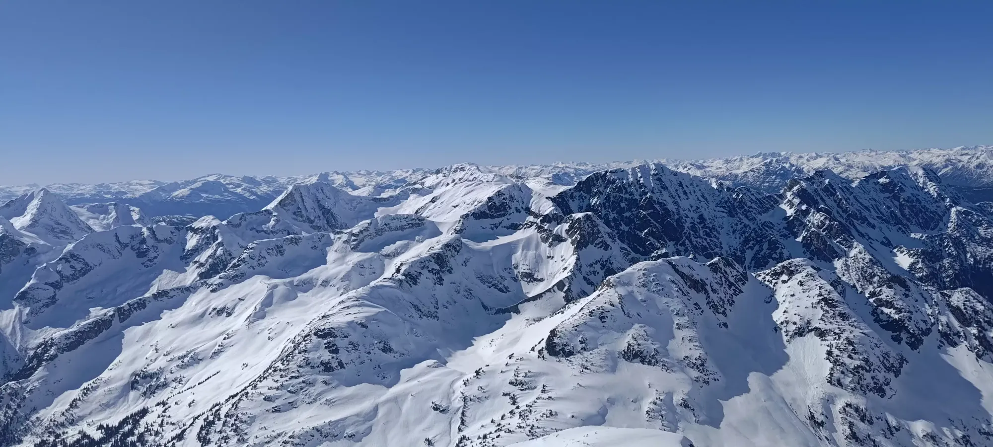
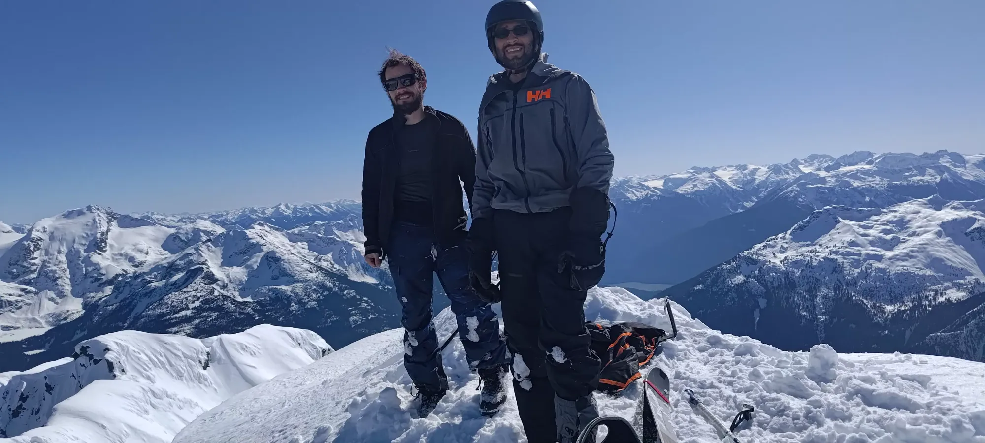
We topped the summit ridge out at 2:40pm, or 5 hours and 20 minutes into the day. We definitely slowed down with our long snack break and a couple of steep+firm transitions. Here, we took another break and waited for our snowshoeing friend to make his way up so we could summit together. His friends were on the col already, and had already summited, so we figured the company wouldn't hurt, and we weren't in a rush ourselves. It gave me lots of time to debate my life choices and decide to haul my skis up to the summit so I could say I skied from the top, if nothing else 😆.
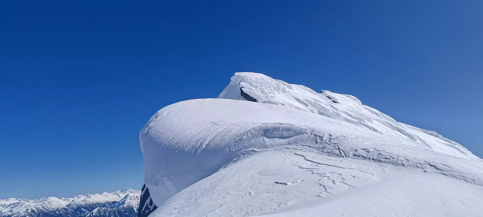
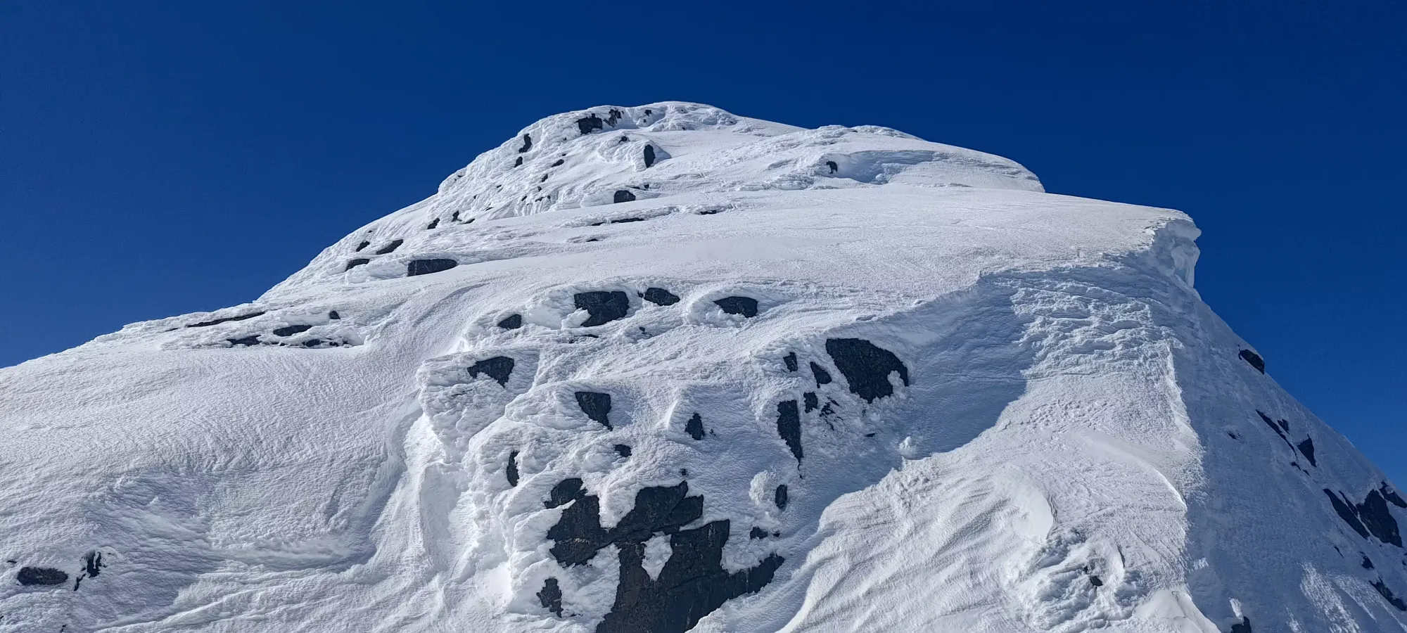
After that break, getting our crampons on, and Logan stashing his pack, I started making the way up to the top, which was made easy by the previous snowshoers' tracks (didn't seem like any skiers bothered topping out). The difficulty was pretty mild, and if you're dedicated, you can probably make do with just boots and poles. I didn't use my axe for anything an inverted pole couldn't also accomplish, and my crampons basically never touched rock, so unless you have very firm snow (it was soft enough to kick if you needed to at this point), you could make do without (though I recommend bringing crampons and an axe just in case). I did miss my chance to bust out my ascent plates for another week, though, somewhat unfortunately. We topped out just after 3pm, and enjoyed the summit for a while before gearing up and starting the descent.

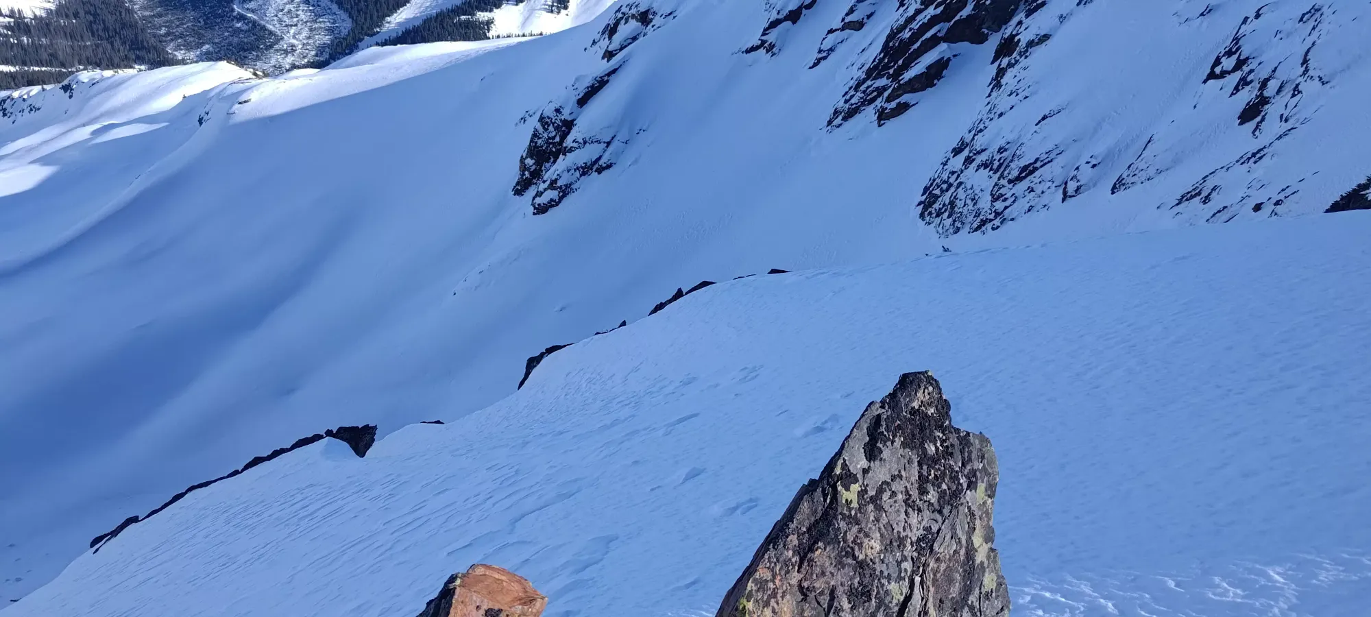
The ski down from the top was pretty meh to be honest. The novelty was cool, but the snow was very firm, and the exposure if one falls to either side severe, so it was just slow, careful turns through the rocks til the bottom, where I had to awkwardly side-hop down the final rock step back onto the col. Logan didn't take too much longer than me, and passed our friend who seemed to not be a big fan of downclimbing, and was taking it very slow and steady.
We chatted with the other members of his party, one of whom I recognized from peakbagger, until he got down. Logan also got his gear sorted and warmed his hands up a bit before we started making our way down from the summit ridge. I let the snowshoers all get off the steep lip at the top, then dropped in to get below them to avoid showering them in snow pellets from my turns, as had happened to us on our way up.
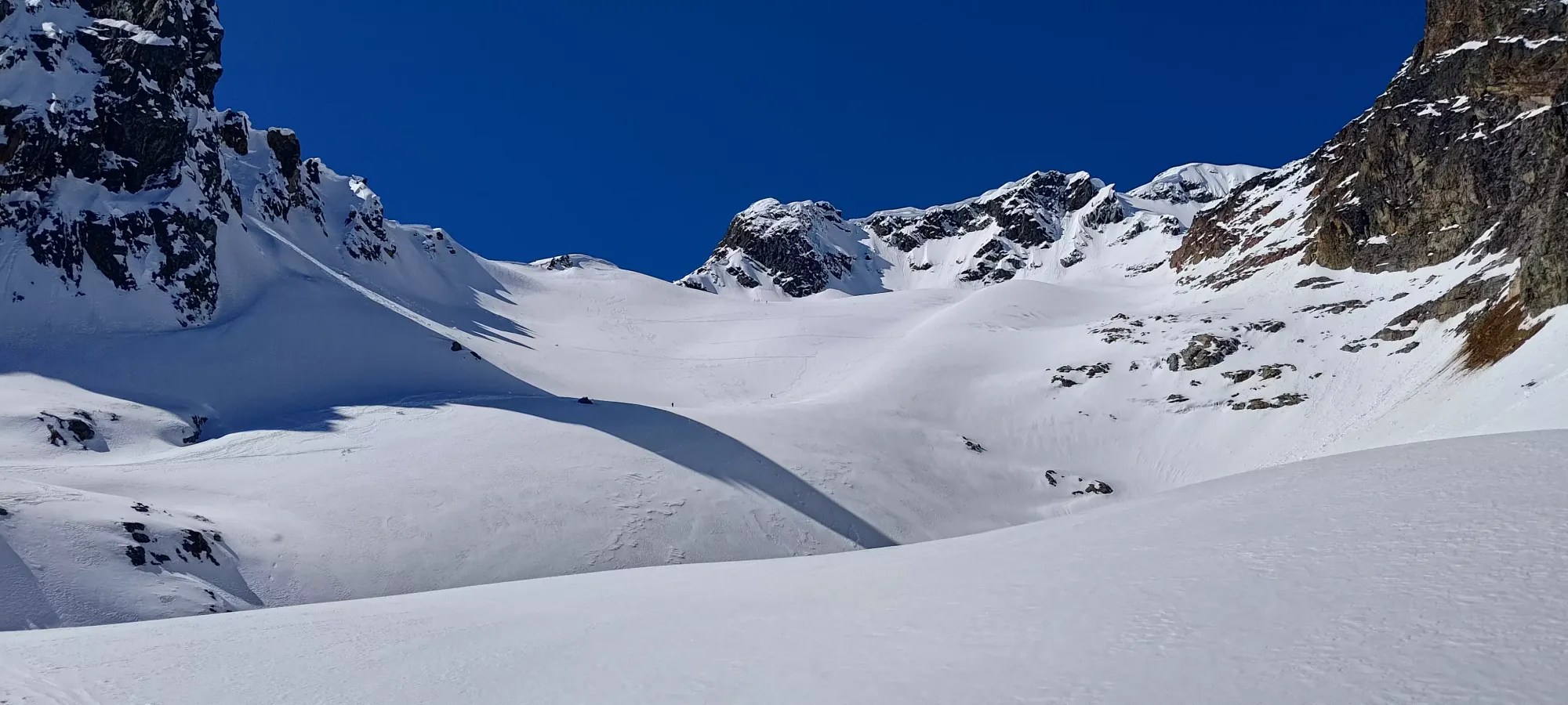
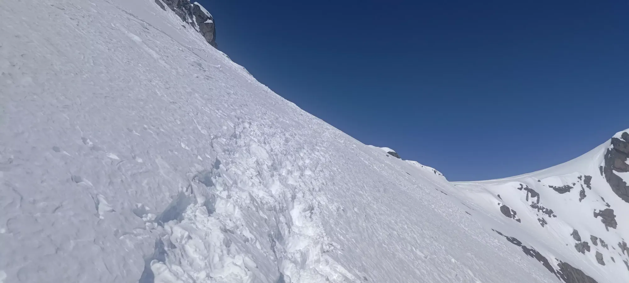
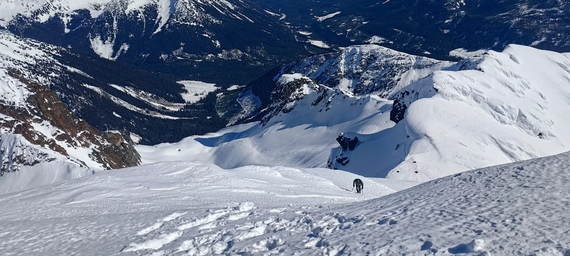
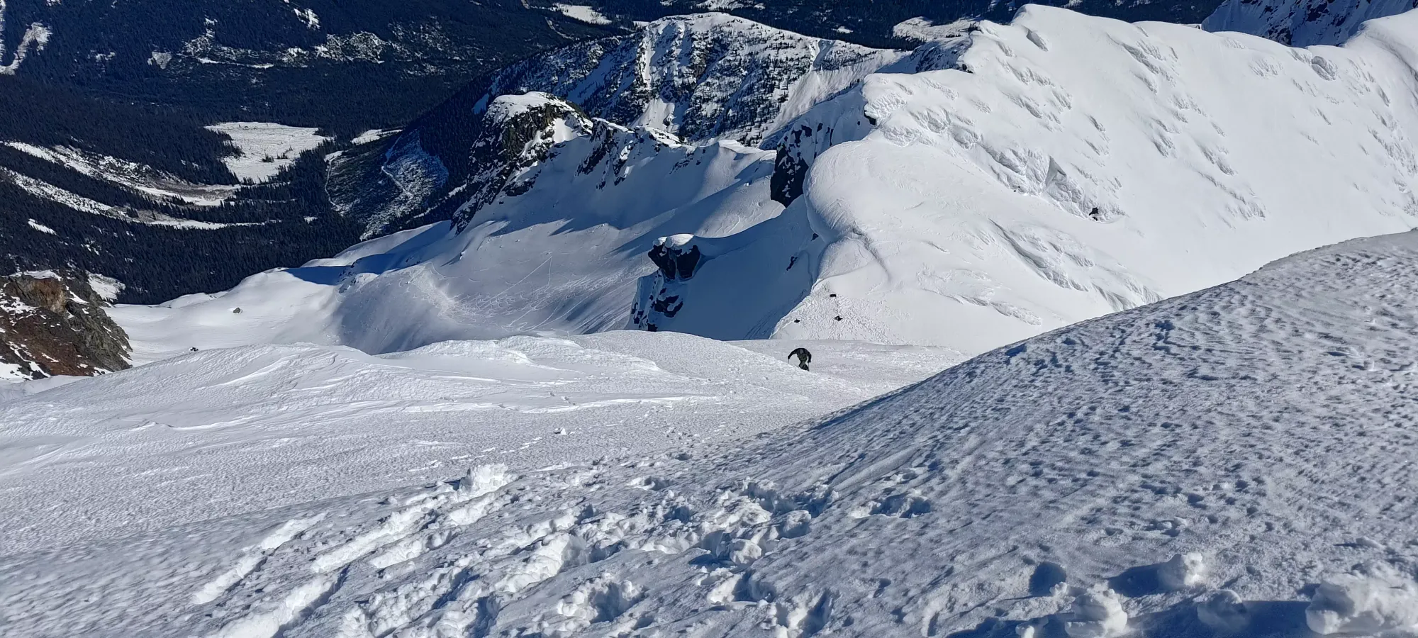
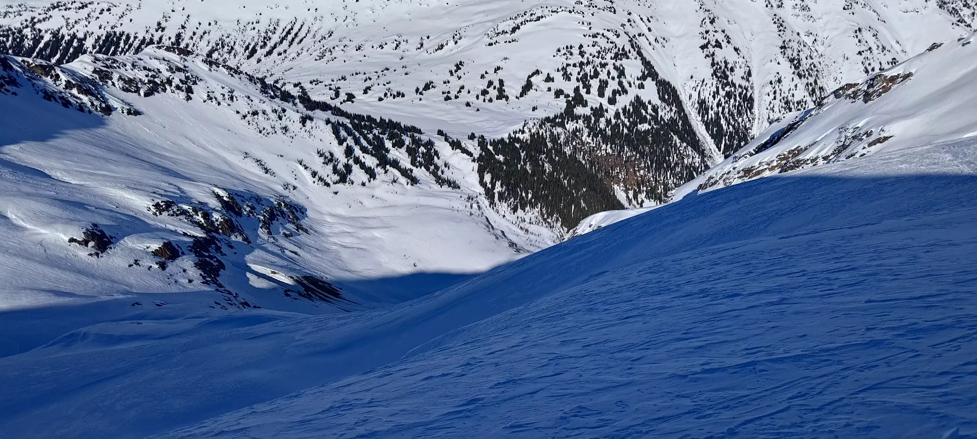
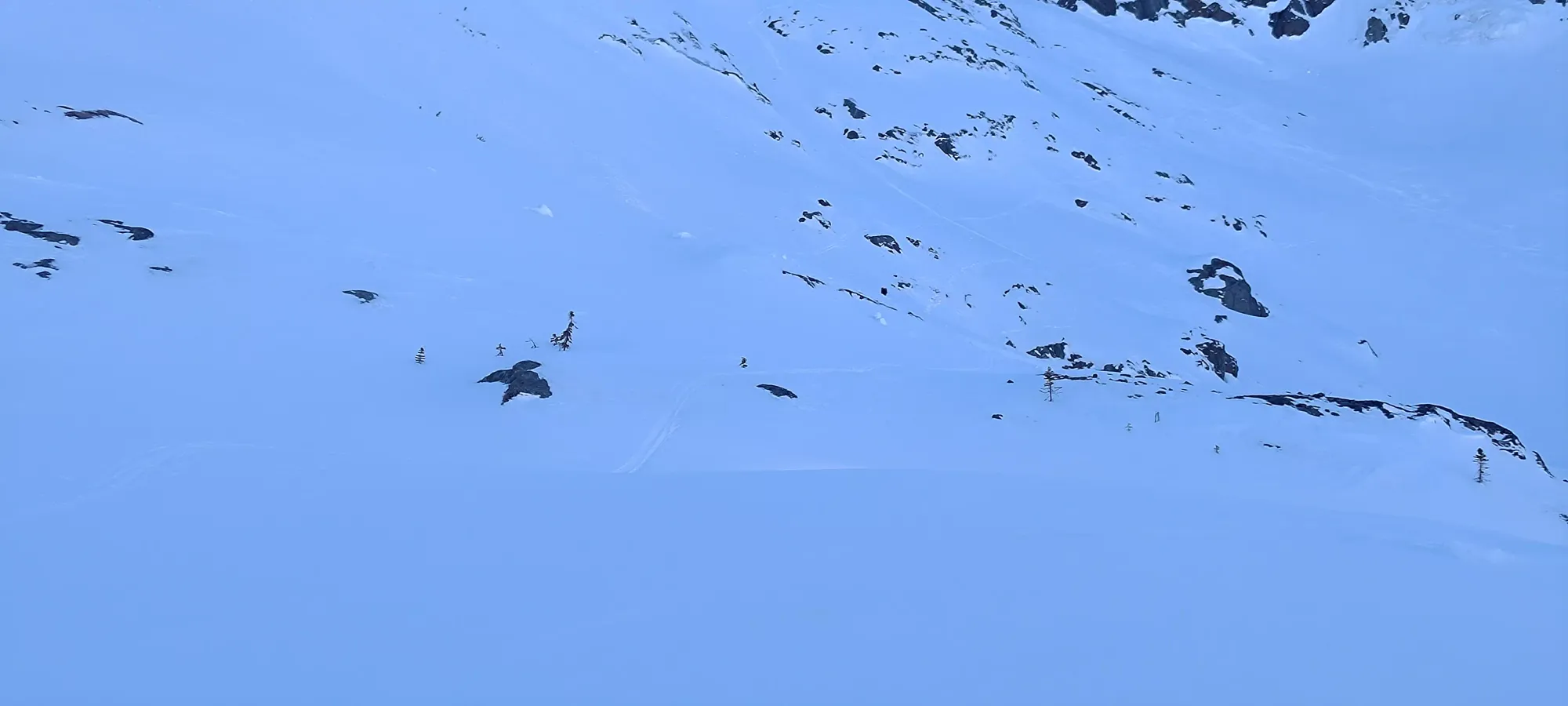
The run down the top of the north glacier was actually fantastic. Sticking to skier's right at the top gave me decently soft snow, and the lower half down to ~2230m was actually fantastic, high quality powder! Sadly since Logan is still a work-in-progress on his ski skills, I had quite a lot of waiting to do as a result for him to get down. He did try some awkward-looking glissading down the slope, but I think he still has some technique to figure out, as it wasn't really that fast. He took about 20 minutes to get down to me, at which point I'd scoped out the tracks we were following, and determined that they didn't go to our intended destination, the Million-Dollar Couloir, and I slapped my skins on to make the traverse over to the couloir.
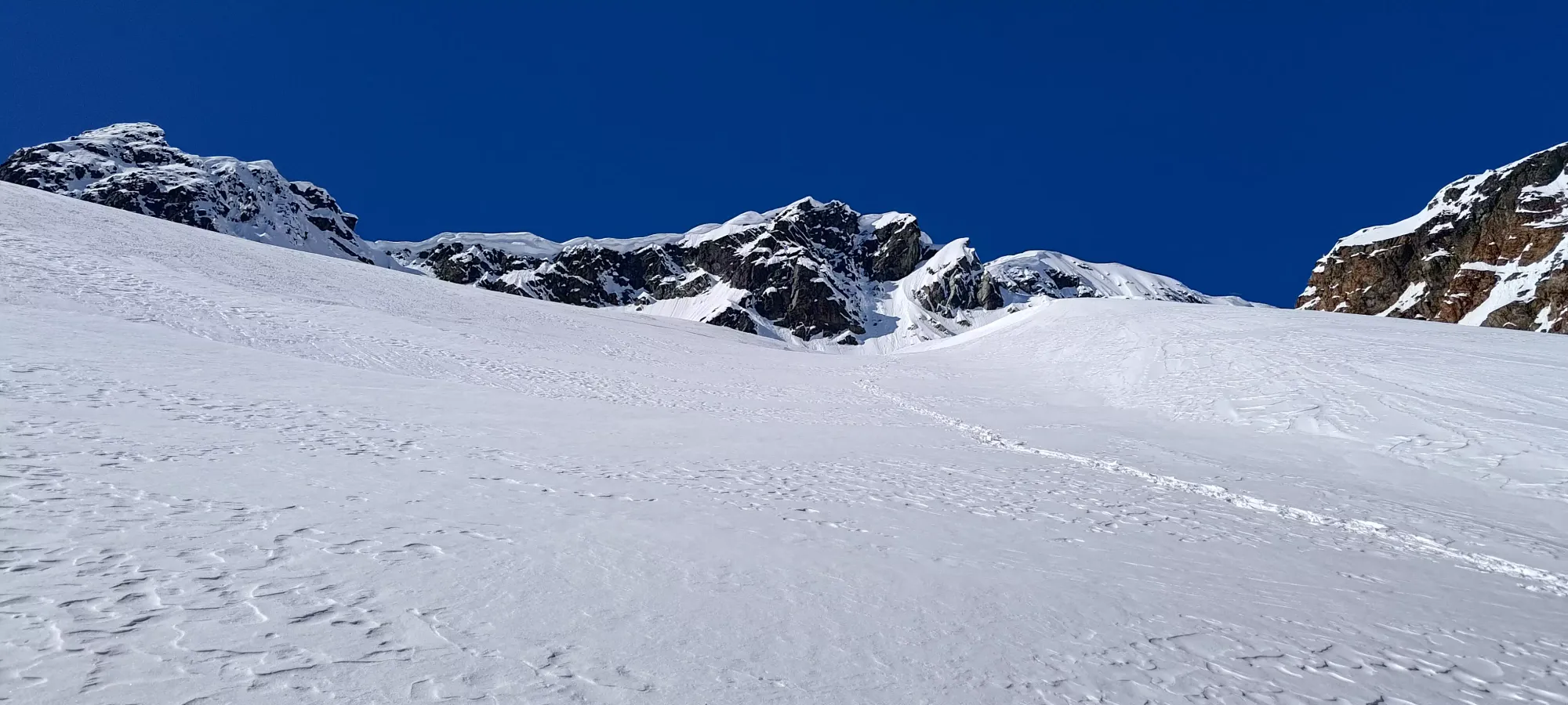
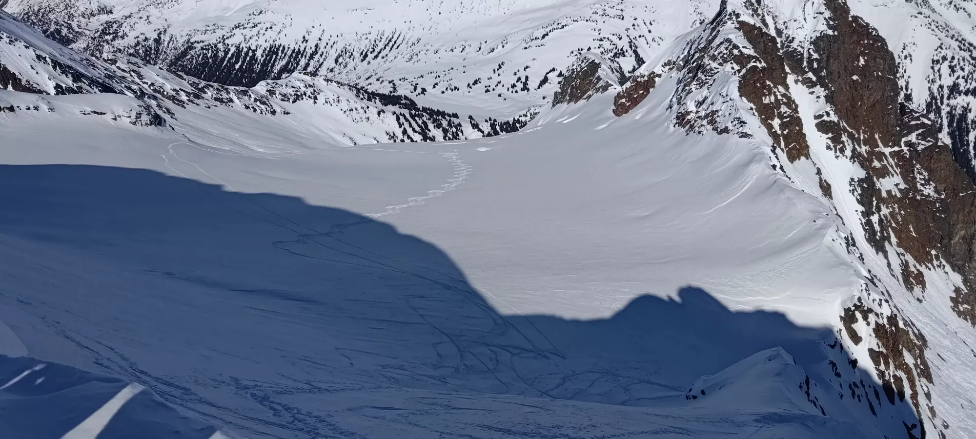
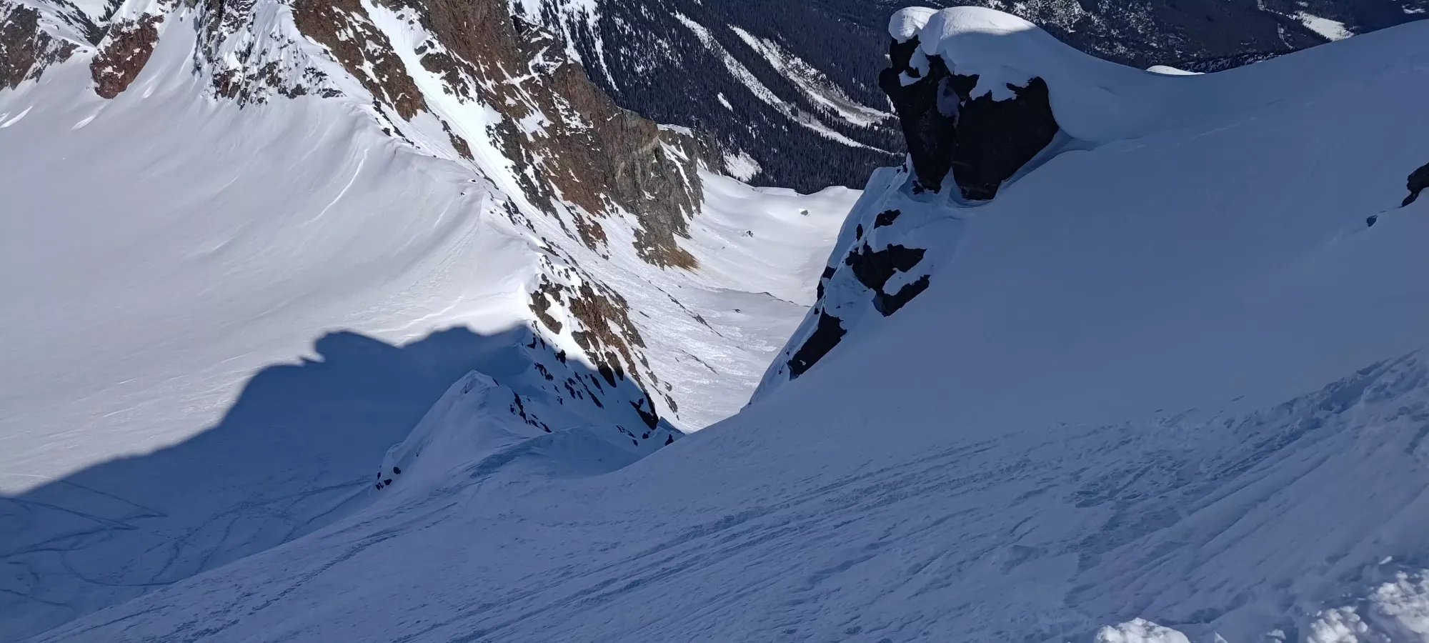
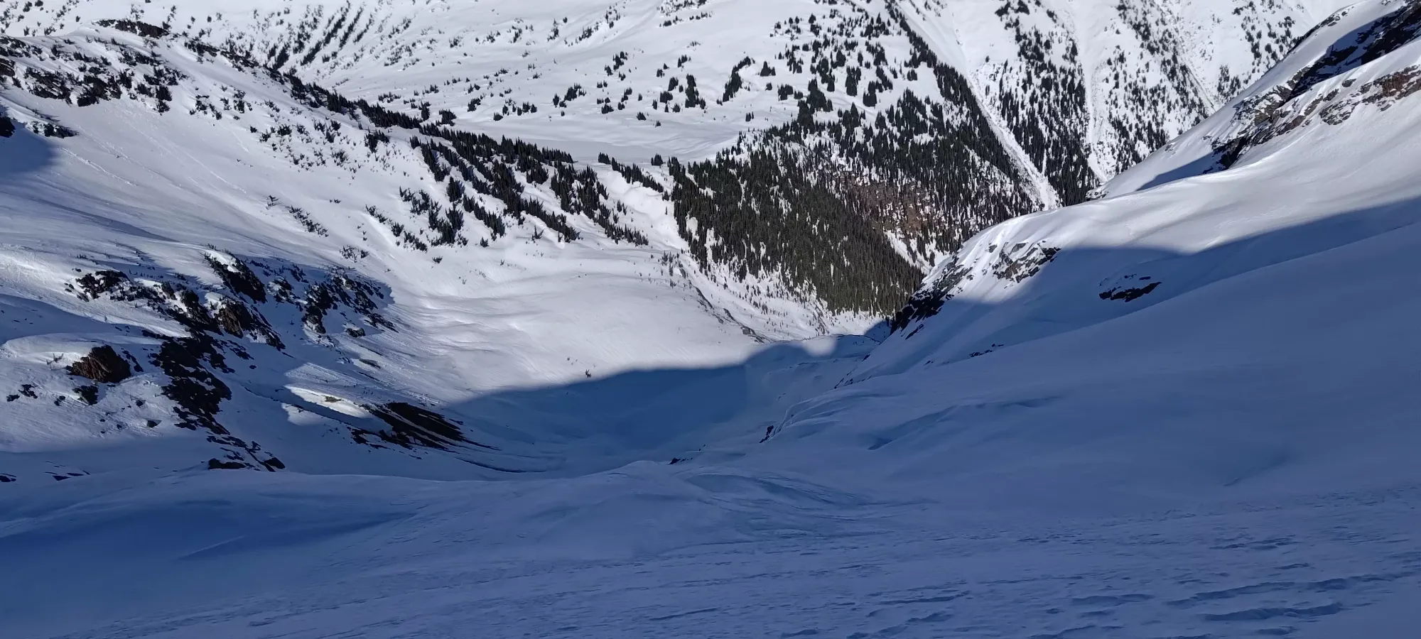
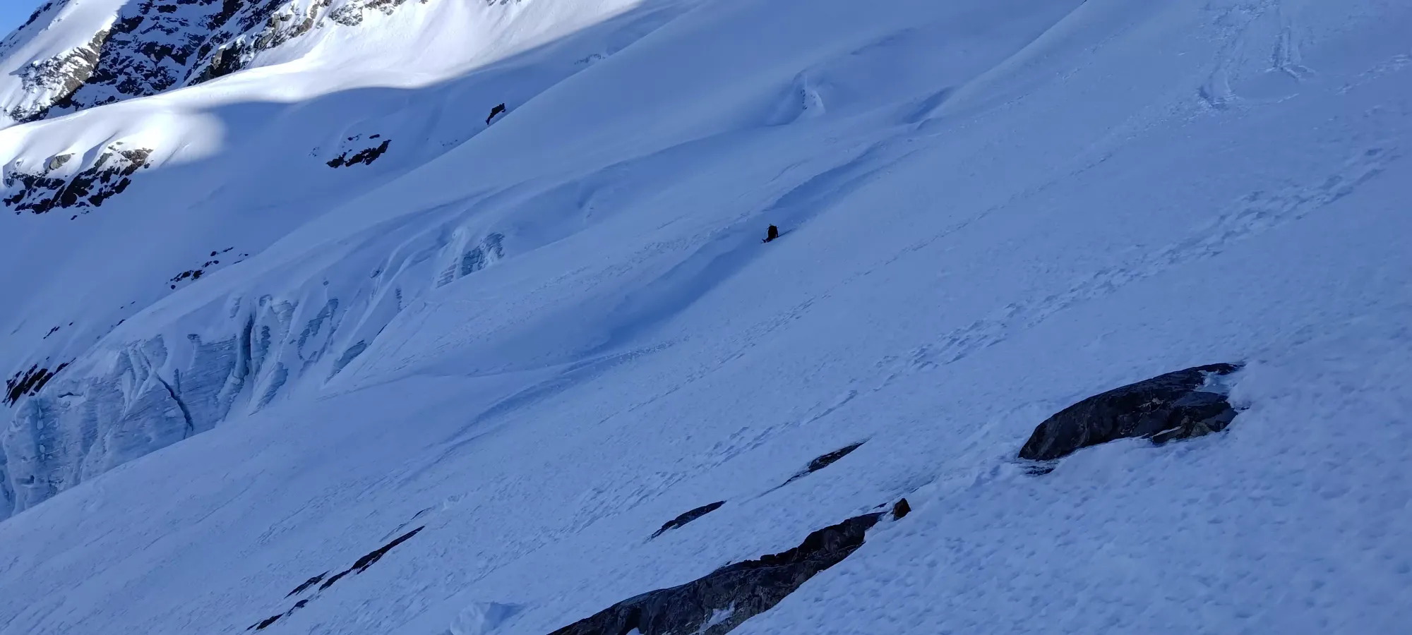
We walked over to the couloir, but sadly upon getting there, I discovered not the "just ski down" entrance I had seen online, but a bunch of mandatory cliffs! I had a suspicion that the entrance might actually not be there, but up and over the nose of the ridge further along from where we looked over. With the sun baking eastern aspects, Logan not glissing very effectively, and me not wanting to randomly yeet over a bunch of cliffs, though, I decided to give up on the couloir and to take the north glacier descent instead, as it was going to be easier on Logan, wouldn't waste time if my hunch was wrong (the GPX I downloaded insisted we were in the right spot, though), and I had heard north aspects were holding good snow, and that alone would make me plenty happy.
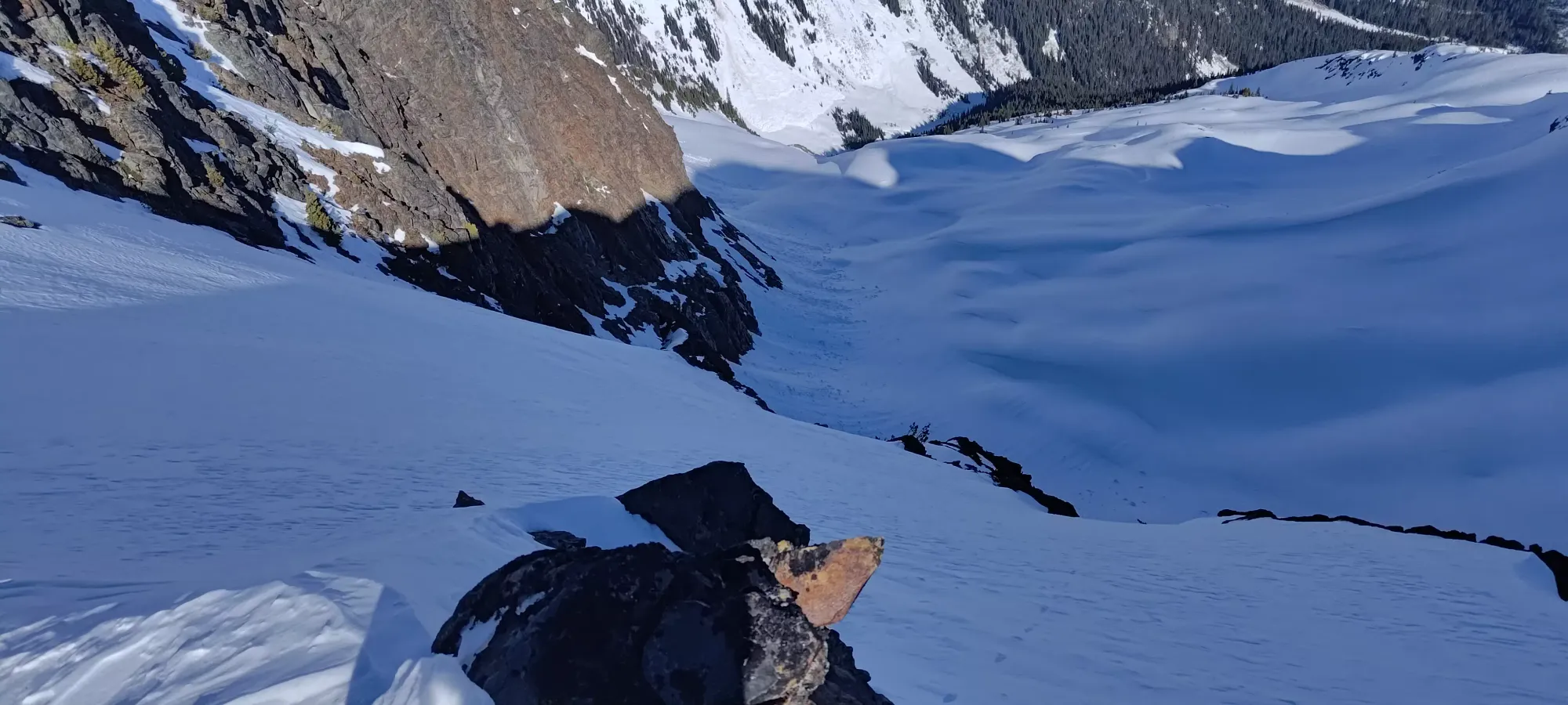
That didn't look quite right to me
So, after a short walk back, I transitioned once more, and we dropped onto the north glacier at around 4:30pm.
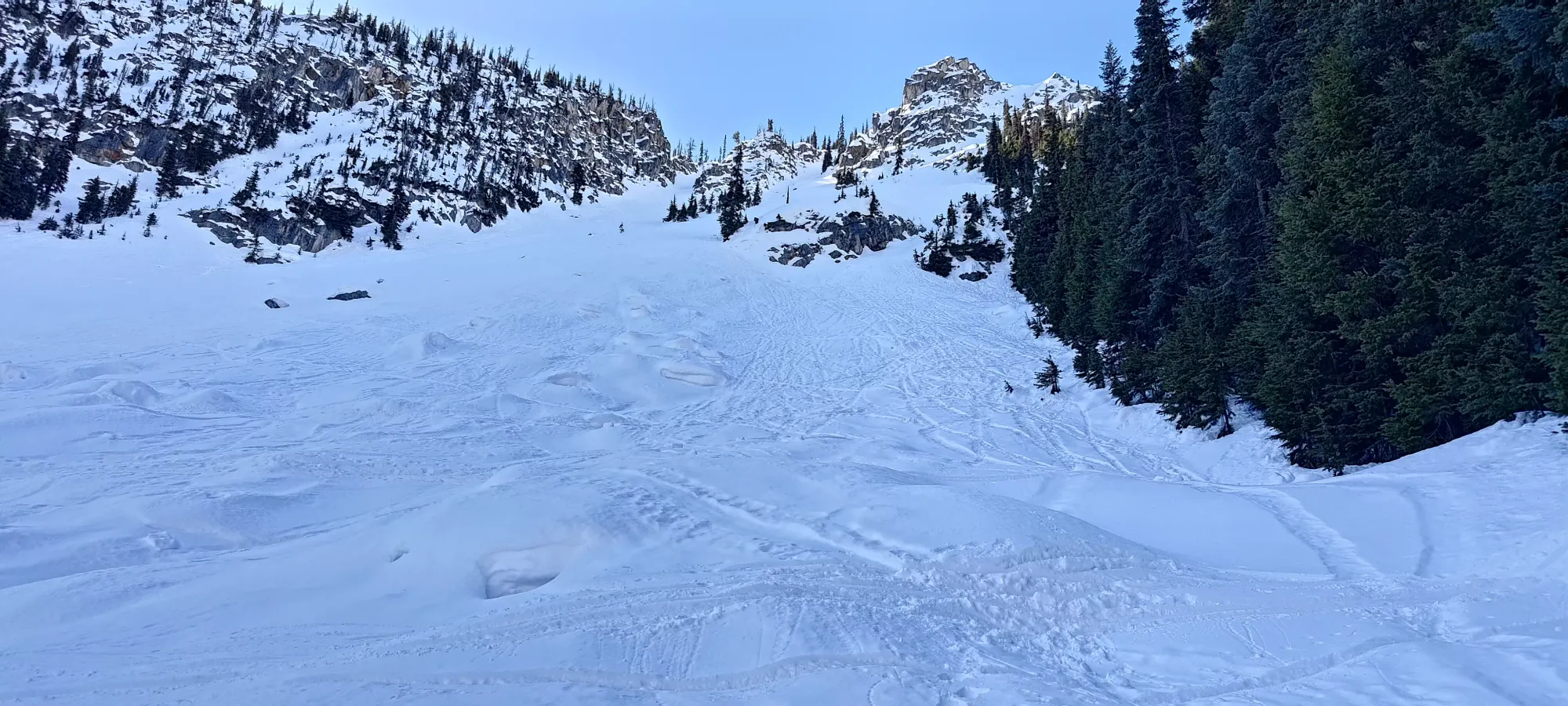
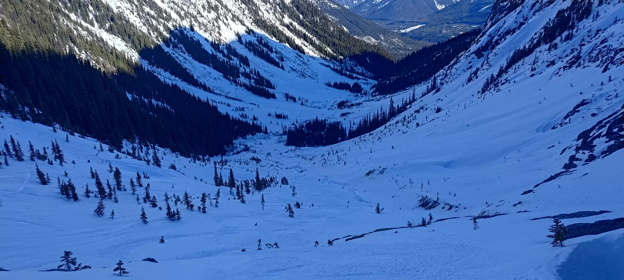
The skiing here was, indeed, very good. A few spots had crusted over, but more often than not, there were actual powder turns to be had! We broadly stuck more to skier's left, as the right side was more heavily crevassed, and that worked pretty well. We got down to the 1800m lake in about 25 minutes (well I did, Logan took a bit extra, since I left him once we had to start traversing since I had to keep my speed to do that successfully). 15 minutes of chilling later, though, and he caught up.
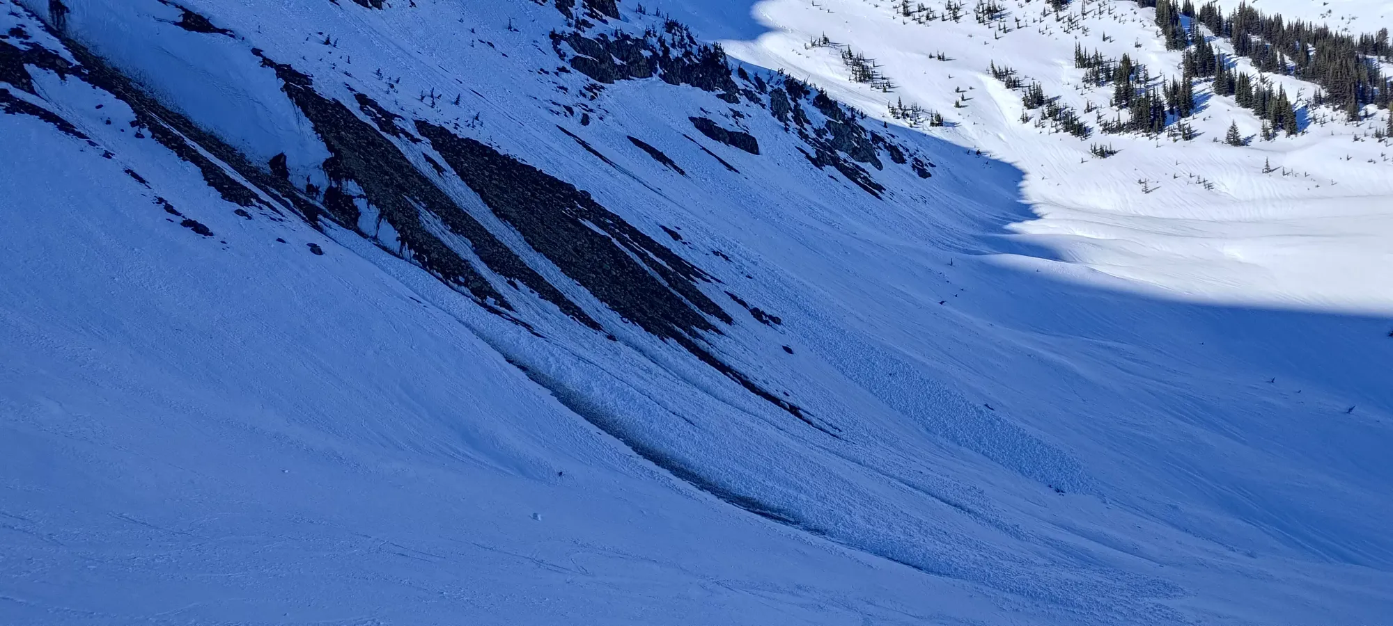

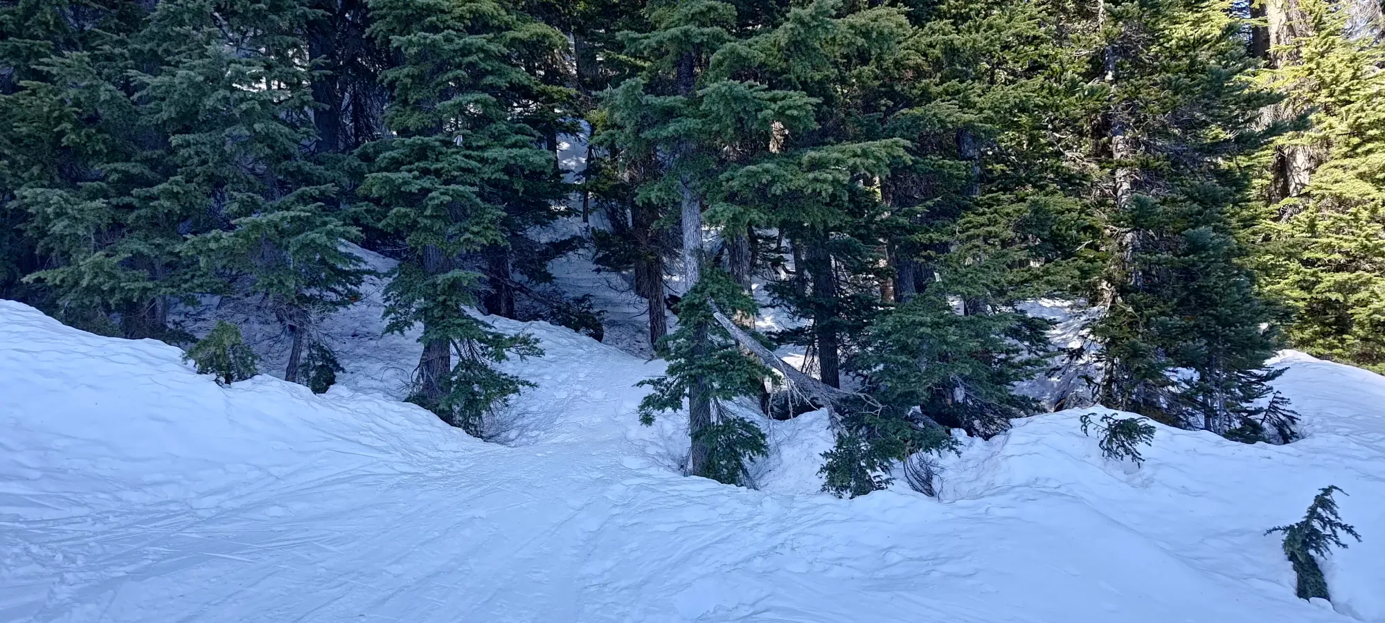
After Logan caught up and took a breather, we continued our way down, picking our way down the mostly-simple rolling hills down to Cayoosh Creek. We spent 10-15 minutes getting Logan down all of the non-trivial terrain, ensuring he could gliss down as much as possible without yeeting over any cliffs. Once we got through that, though, it was getting close to 5:30, and I wanted to get back to the car so I could eat something and not be worried as much about using the bathroom, so we split up once he was past the hard stuff (there are a couple avy paths on the way out from here, so make similar decisions at your own discretion. Everything had basically already slid, or was too low to wipe us out at valley bottom, so we felt comfortable in this choice).
At 8 hours in to the day, I split off at about 1600m elevation, with the car back on the highway at about 1270m. The valley was surprisingly pretty consistently downhill, and I breezed through the open valley into the forest in just a few minutes. From there to Cayoosh Cabin was also all downhill, though the forest had a couple spots that were a bit tight to navigate on skis right by the creek. I did have to remove my skis to actually get over to the cabin, but it was still under half an hour to get down to that point.
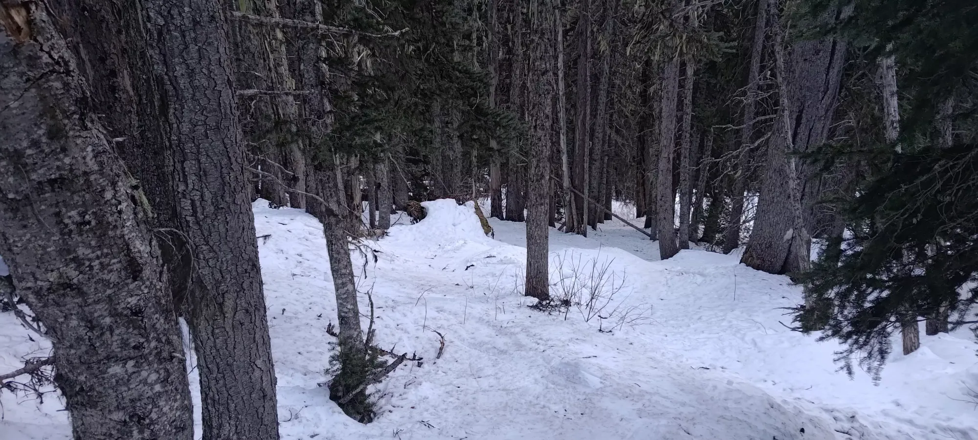
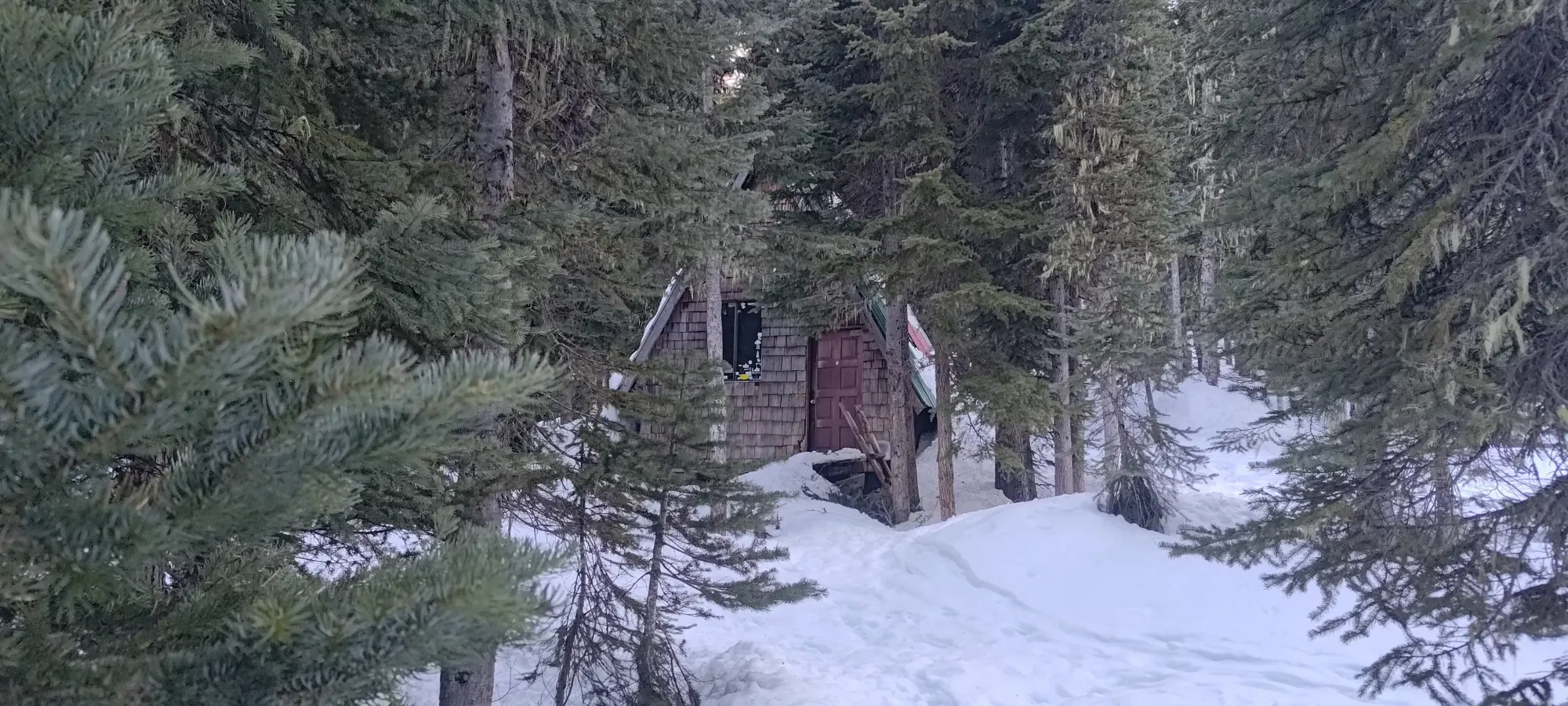
I probably did not choose the best route below the cabin, as I followed some tracks down until they ended, and had to walk up to the road for an exhausting 10 minutes, postholing in all sorts of unpleasant tree-well infested forest. Oh well, you win some, you lose some. Seems whoever was there before me was there when the snow was still crusty 🤷.
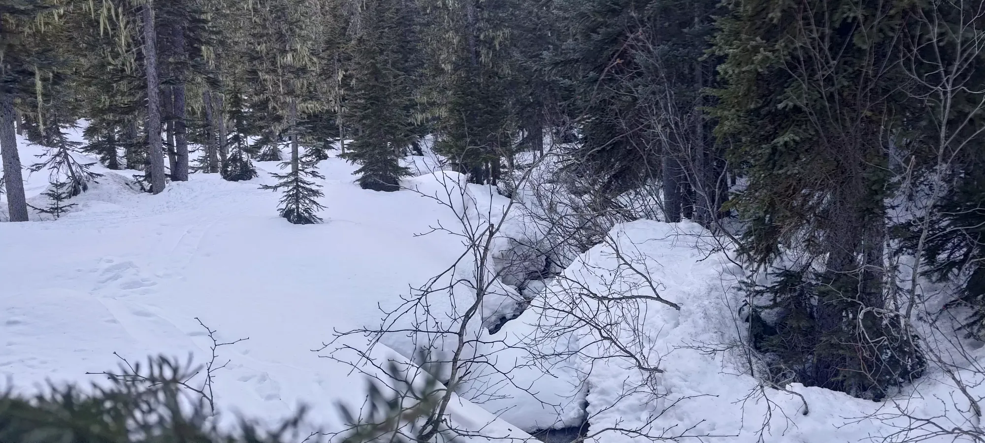
Once I got back on the road, it was a simple ski down the alder-y spur, a bit of a tedious walk/shuffle down the shallow upper road, then a mostly-ski down the last 1.5km. I got back to the car around 6:30, and got to chat with some dudes in the parking lot for a while, and enjoy a cookie or two while I waited for Logan, who showed up 30-45 minutes later, which isn't too bad, all things considered.
All in all, a pretty great day! We got a nice summit, the weather was awesome, the skiing was pretty good, and 9 hours isn't that bad considering we went down at a hiking pace. I would recommend skiing here if possible though, it's both very fun and much faster, and unlike some SWBC peaks where it's just a tough, tight, steep forest not conducive to skiing uphill, this is excellent terrain for skinning.
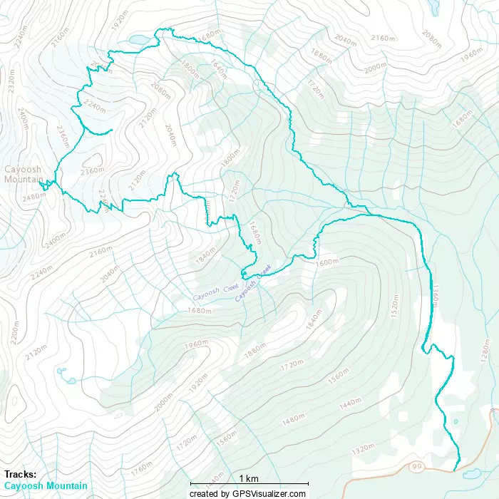
GPX Track + Map