Rainbow Mountain - March 23 2024
A prominent but fairly simple skiable summit, with a small glacier and minimal transitions required! Watch for gates/parking gotchas, though

Squamish-Cheakamus Divide, Whistler, BC
2314m
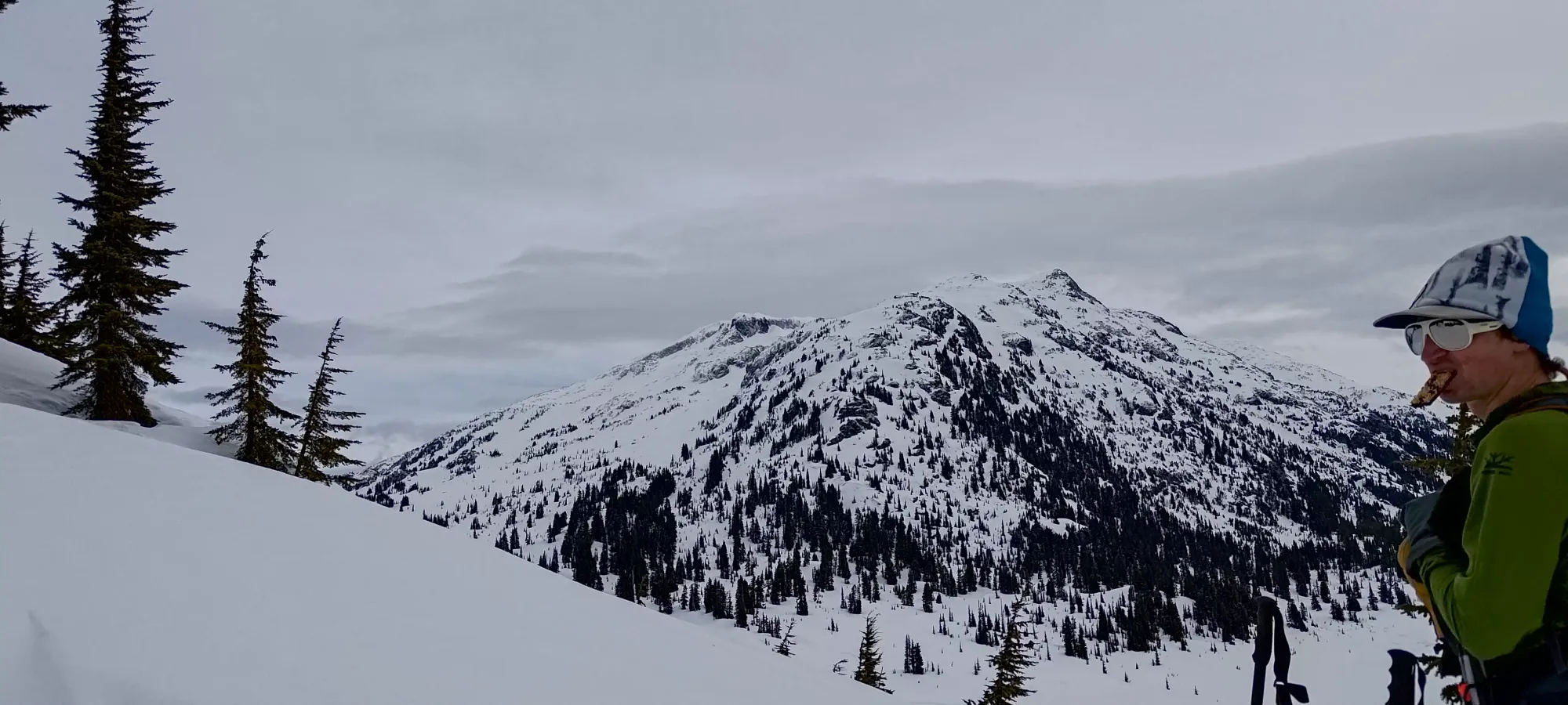
After a big heat wave early in the week, and the beginnings of a spring snowpack forming, the time for some bigger objectives is finally upon us! Saturday was the worse day in terms of weather, so I wanted to do something meaningful but not crazy, and was also solo so I needed something without a bunch of complex terrain I felt pretty safe on. Enter Rainbow Mountain.
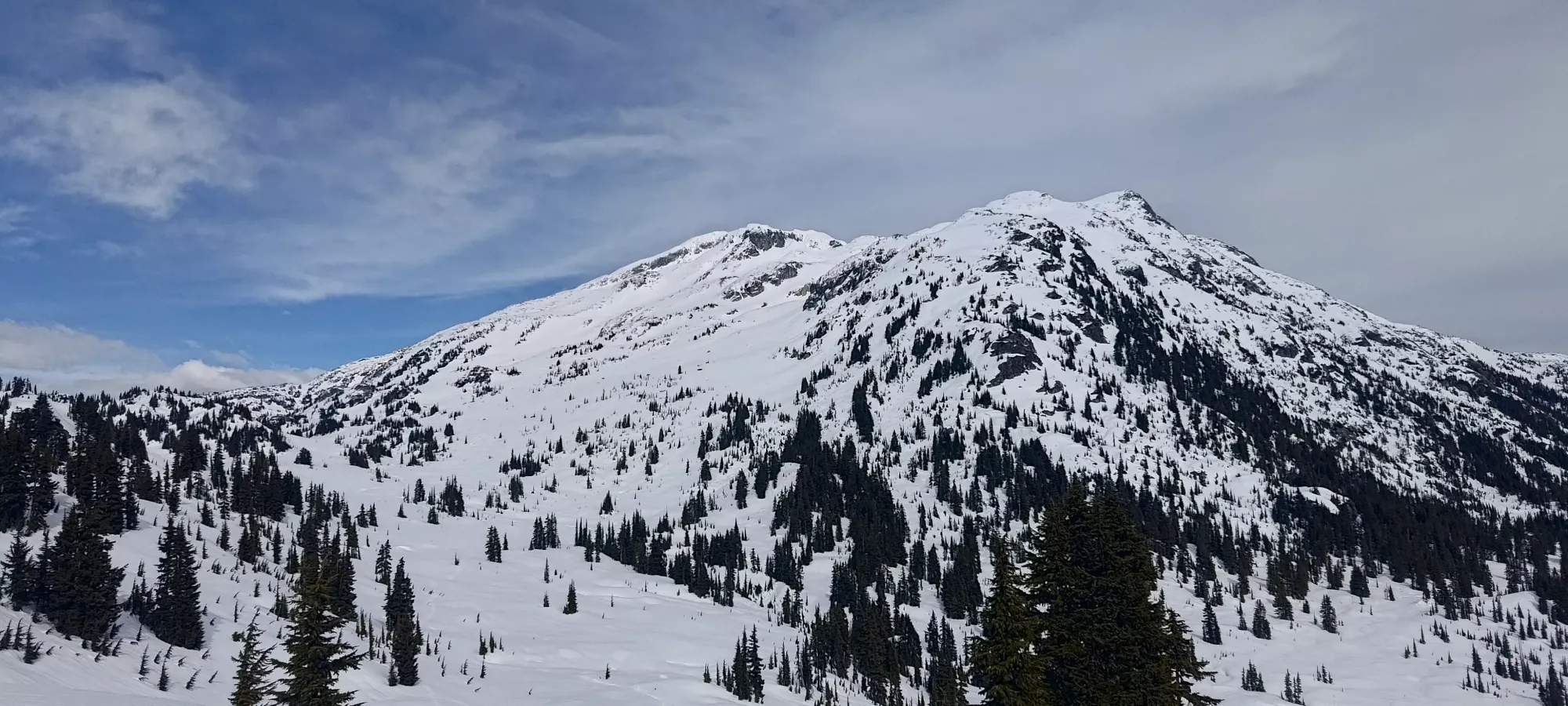
This is a mountain with over 1000m of prominence, so therefore it is important to me 🤣. More notably, it is a prime ski objective, and visible from many places in the Sea-to-Sky corridor (where I live), so having gone so long not being able to point at it and say "I skied that" was pretty painful. Time to fix that!
I just finished the rather unpleasant experience of getting a colonoscopy, and only had Friday to try and get some calories back inside of me. I'm still also battling with symptoms of my colitis, so I knew I'd need some buffer time to deal with any complications there. I got up pretty early, but only ended up leaving home around 7am, and got myself parked at Alexander Falls (the free, no-gates parking in the area, though it is lower/further away from the peaks than parking at the Olympic Park). While gearing up, I noted the lack of meaningful snow in the forest on my way up, so just in case, I clicked my ski boots into my skis, and just wore my driving shoes from the car, getting moving just after 7:50am.
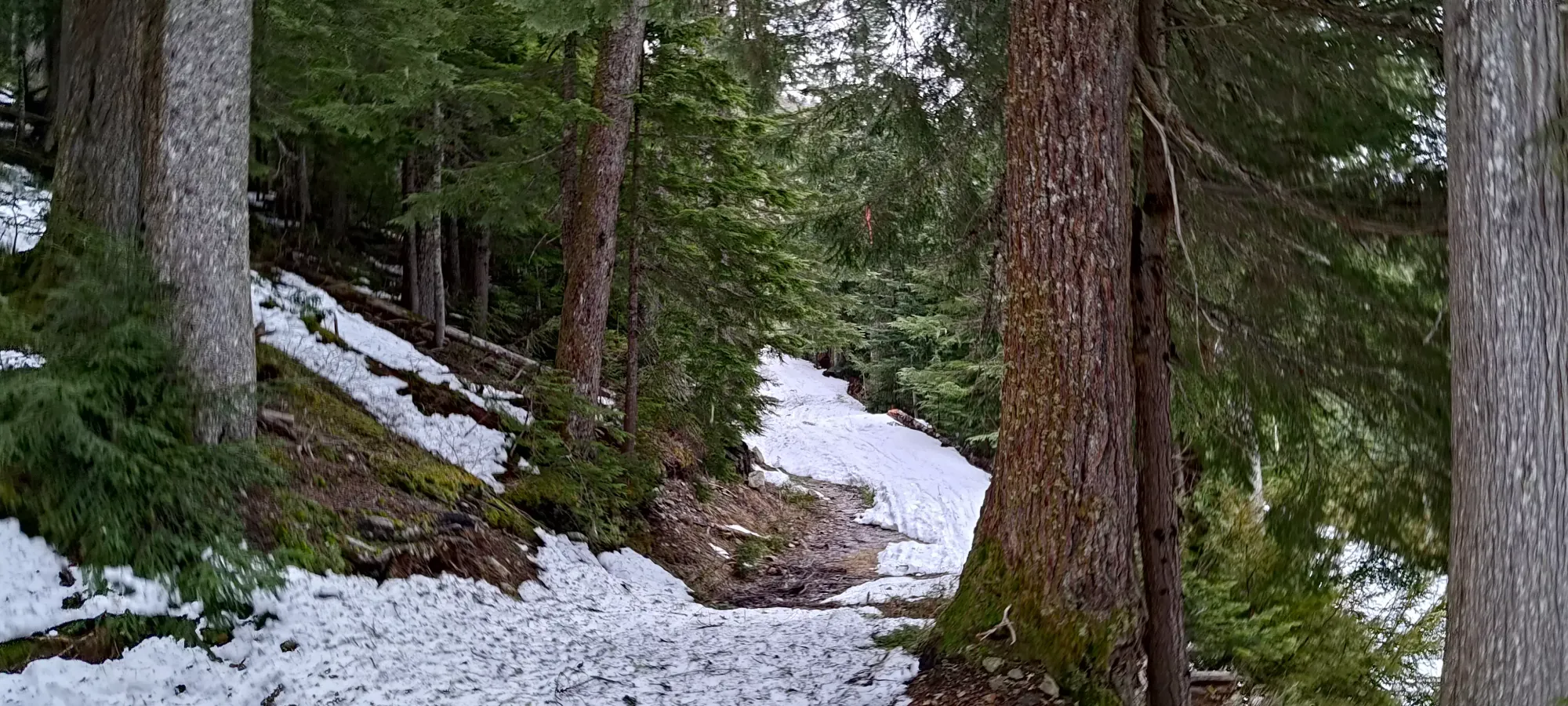
This ended up not being that necessary, as once I got to the first switchback on the road (where the road to the resort/park forks with Callaghan Lake FSR), the forest roads had enough coverage to skin. I could've and probably should've kept walking on the road up to the resort, but instead I decided to walk in the tire tracks on the gated road that goes north from this point, and stashed my shoes+transitioned at the Hydro building that is off to the side of Madeley Creek Road. This was fine, but came to be a bit of an annoyance on the way down.
From there, it was a 15-minute skin on freshly groomed (if moist) Nordic trails to the top of the road, and another 15 to the point where I joined the Hanging Lake trail (~900m). I probably should've pushed it higher inbounds, though, since there were a couple open creeks I had to pop my skis off to get across. By the time I got to the area where it forks off of the old road at the resort boundary, the snow was largely continuous (just a bit dodgy getting back into the forest from that road for a couple metres), I had been moving for about an hour, and I probably hadn't saved any time vs parking at the top, but hey, at least I didn't pay either!
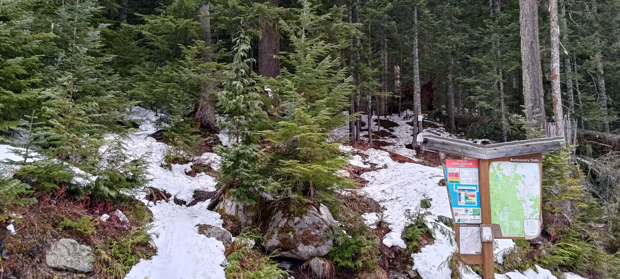
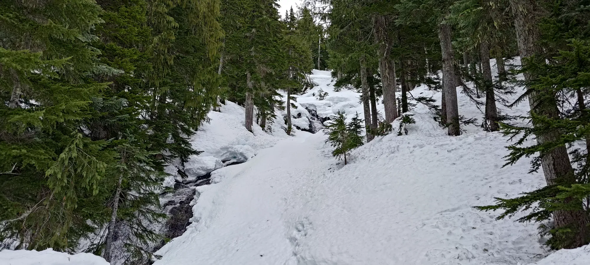
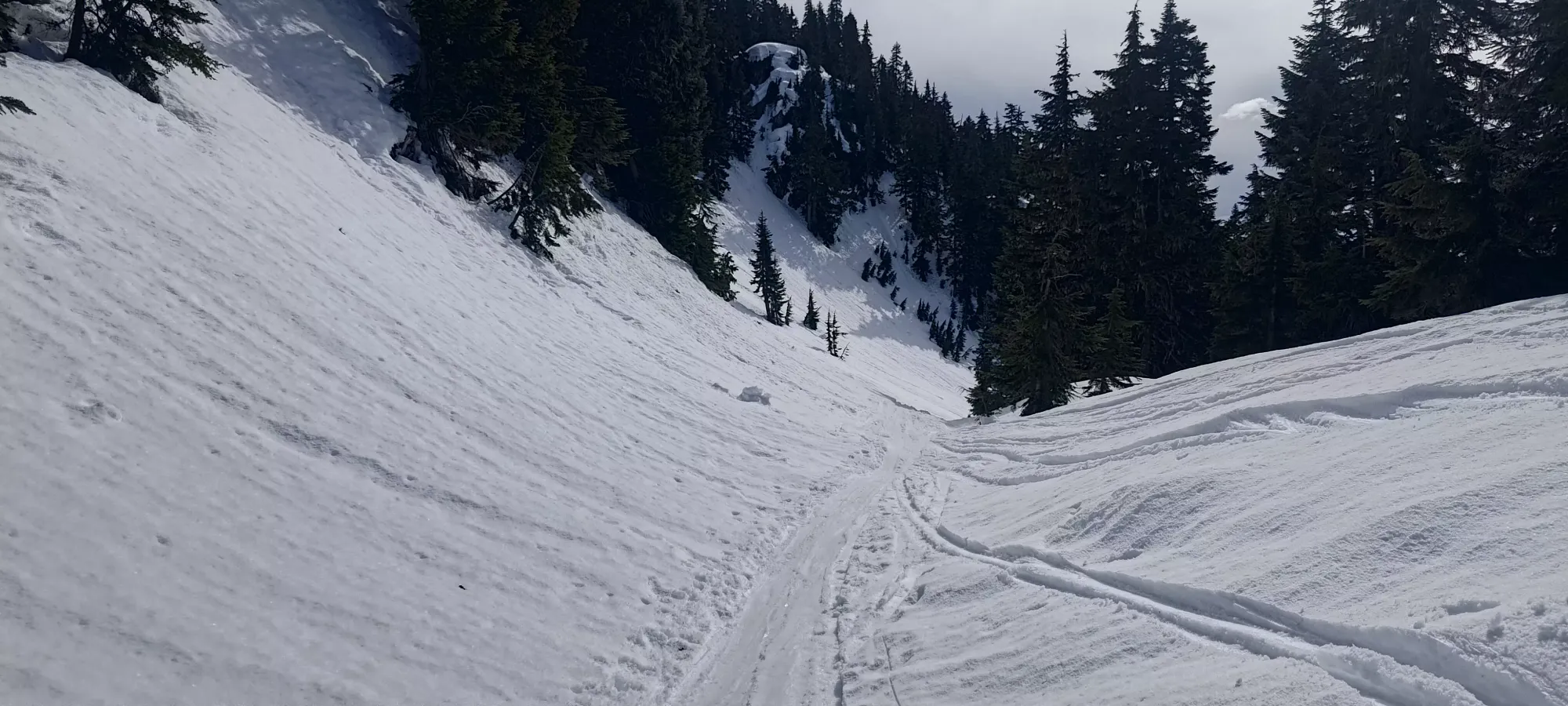
The forest was pretty simple after that point. At the bottom, a couple creek crossings required some creativity to keep the skis on, but it got "good enough" pretty fast. Sadly, about 20 minutes in past the sign, I had to use the bathroom, and needed to take a decent length break to handle that. Seems I've still not quite bounced back from my latest bout of colitis-related fun 😞. Oh well, at least it happened somewhere without anyone around, in the forest, and not on a blustery alpine ridge 🤣.
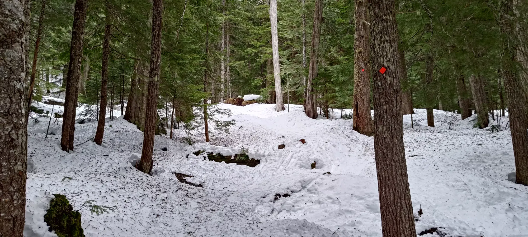
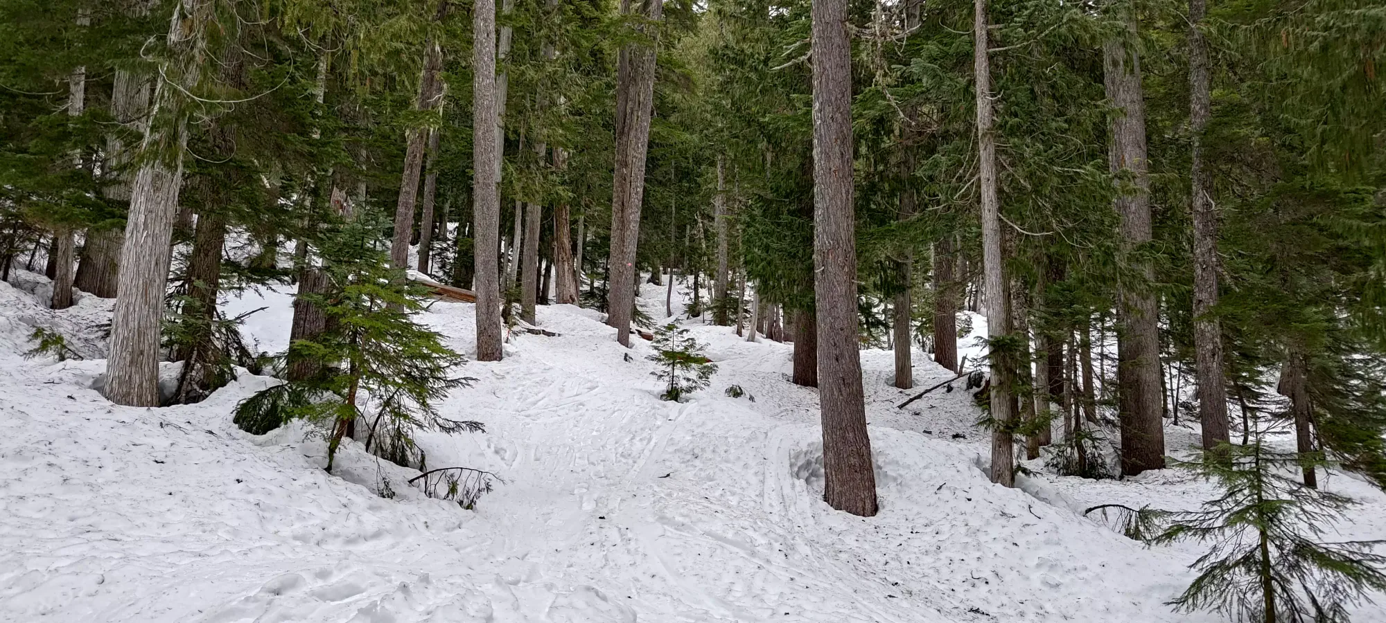
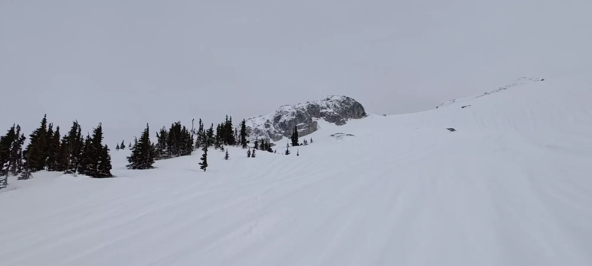
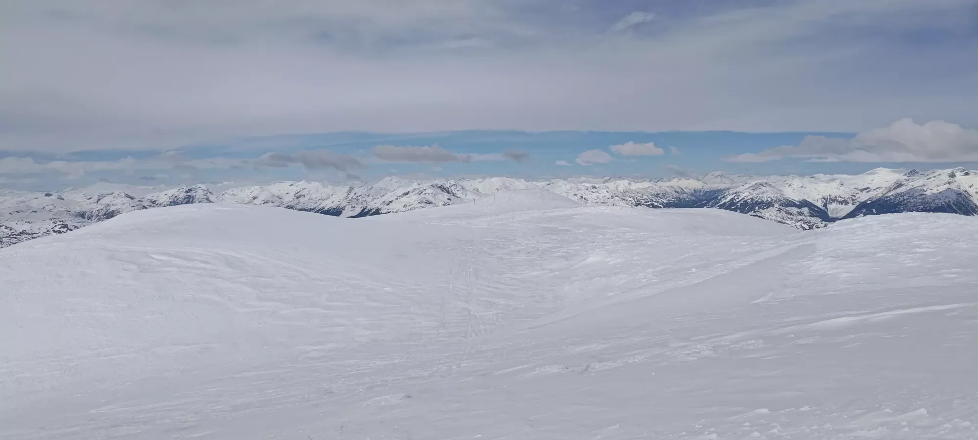
Somehow I managed to hit pause on my watch by accident, so my timings are a bit of a crap shoot for the rest of the forest; I only realised most of the way up to the lake, 300m higher than where I stopped 😅. There's not too much else to say about it though, it's a well-travelled trail, and it was pretty firm and crusty most of the way up. Once I got to the open boulder field, there was the smallest dusting of new snow from the overnight precipitation, but nothing that really constituted "breaking trail".
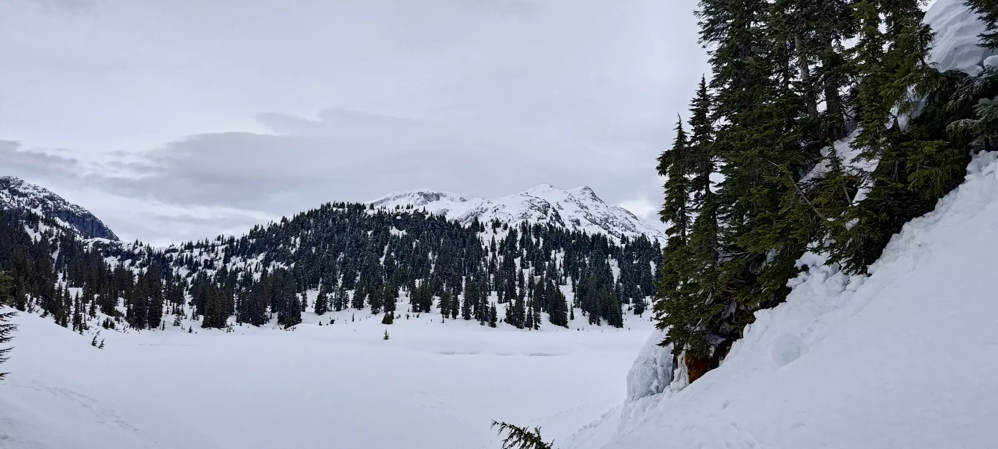
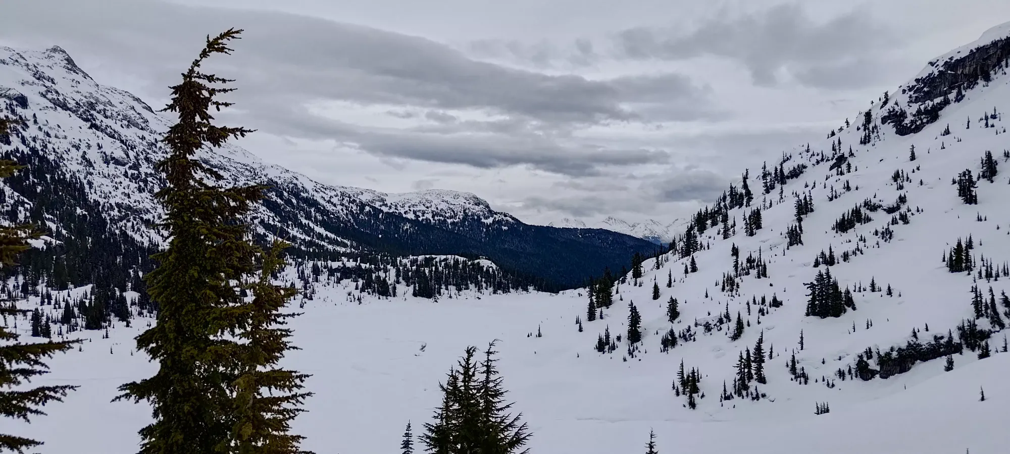
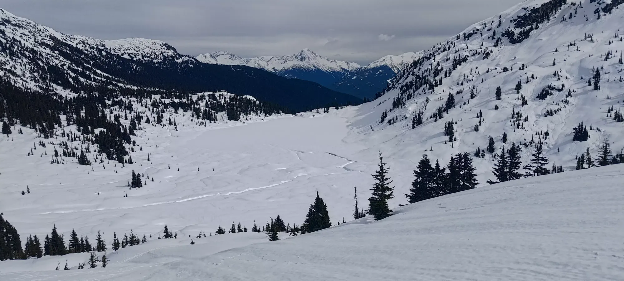
With the benefit of Hanging Lake being a nice landmark, I can now report that my watch was paused for about 40 minutes, putting my actual time to the lake, break included, at 2:25, not very fast, but not the worst either considering I started at Alexander Falls. Here, I saw basically my ideal weather: high clouds and "just cold enough" temps to keep the snow from getting too wet too early, since the springtime sun would quickly turn the near-freezing snowpack into mush if exposed for too long. I also noted the outflow of the lake as being pretty open, which compounded my surprise discovery of sled tracks as I got further in and onto the lake. It did look thicker when you got further in, but I don't know if I'd have taken a heavy machine on there myself.
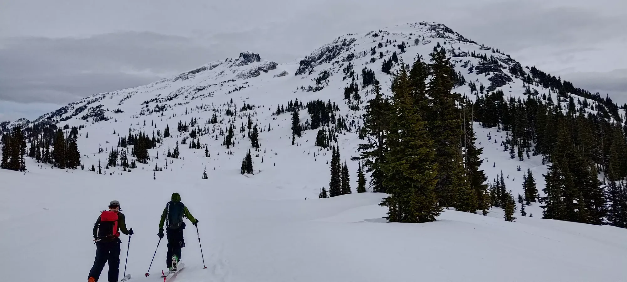
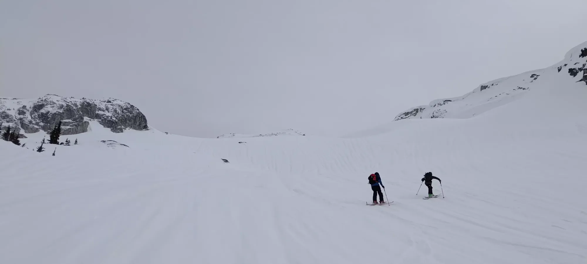
As I was crossing the lake, a pair of tourers came up behind me, having parked higher and not stopped for a bathroom break. After a couple minutes chatting, they said they were aiming for Rainbow as well, so we decided to team up and tackle it together. I was happy enough with conditions to go for it solo, but it's always more fun with company, especially since we were breaking trail past the lake 🙂. So, from there, I broke us a trail up to Rainbow Pass, the small ridge above Rainbow Lake that connects over to Rainbow Mountain on the southwest side, which took about 15 minutes, and brought us to 1500m.
At the pass, we split up for a couple minutes, as I was lazy and wanted to take the sidehilly but no-extra-elevation traverse just below the ridge towards the ascent route on the SW face of Rainbow, and the other two preferred the technically simpler but more effort ridge traverse. We ended up in the same place at basically the same time, so I'd say we were all winners on that one 😄. Once we got to the base of the face, we tossed some light gloves on, as the wind was picking up a bit, and as northerly wind, it was pretty cold as well.
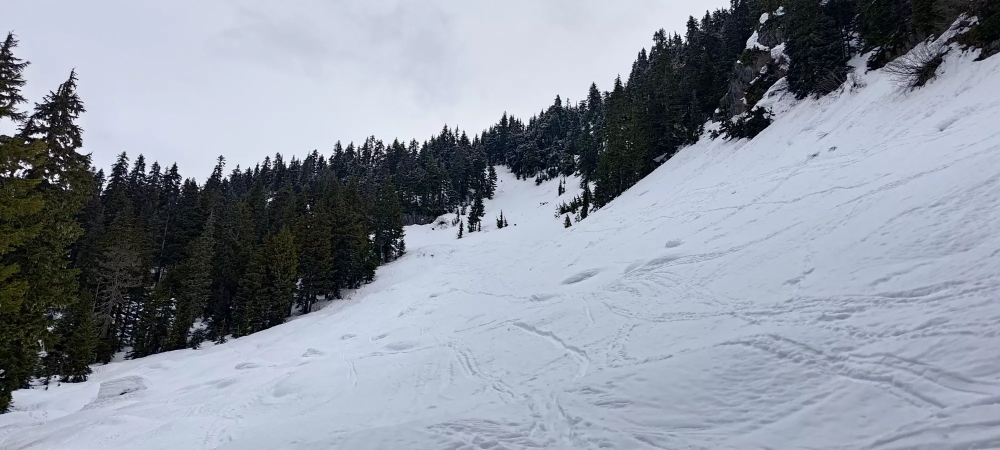
Once we started making our way up the face, the conditions quickly became "quick, slick, and crusty". The terrain seemed like super-nice skiing terrain, with sparse to no trees, a fun-but-not-intense grade, and tons of space. With the snow conditions being what they were, though, it was more of a "try not to slip challenge", as if you did, it would be simple to slide a ways back down towards the lake. My new friends, being from New Zealand, were apparently quite used to it and didn't seem to struggle much. I was mostly fine, but a couple slip-ups on the steeper rolls convinced me to bust out the ski crampons, which I was definitely glad to have, and totally resolved any traction issues.
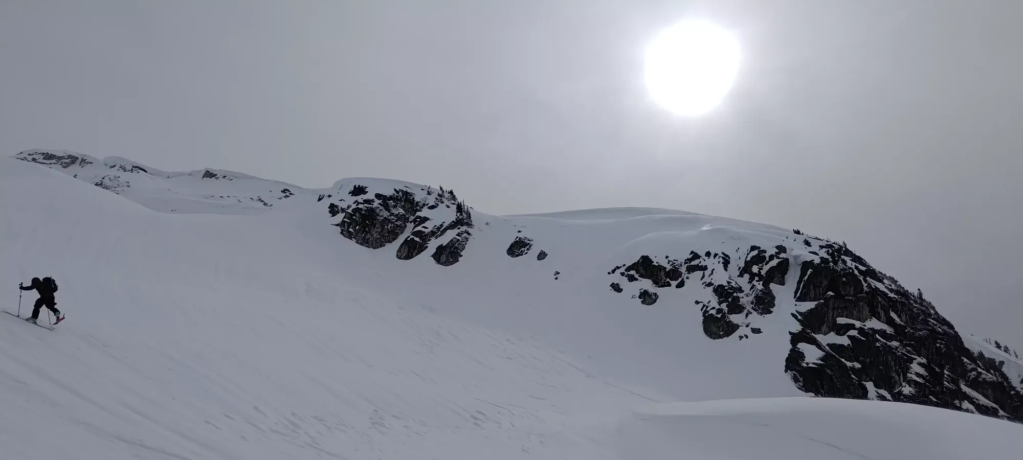
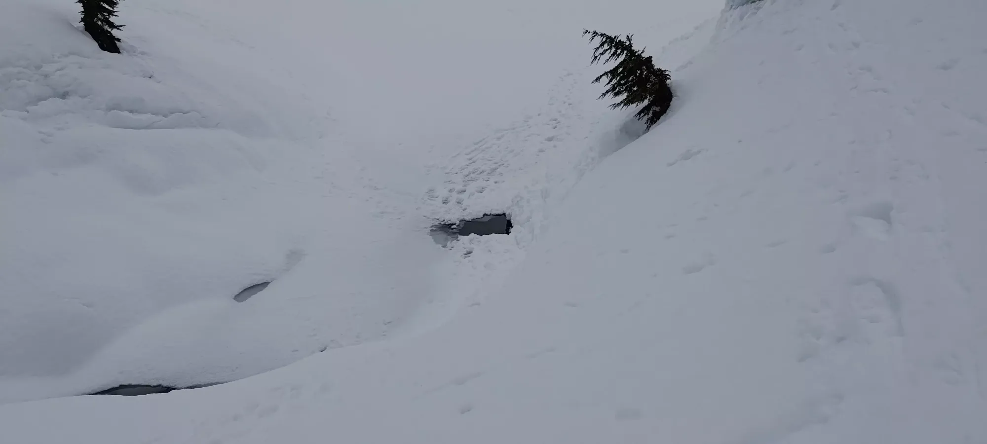
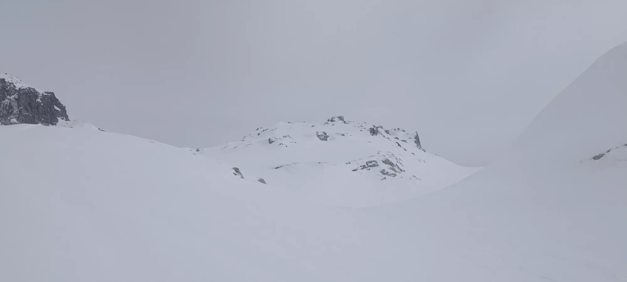
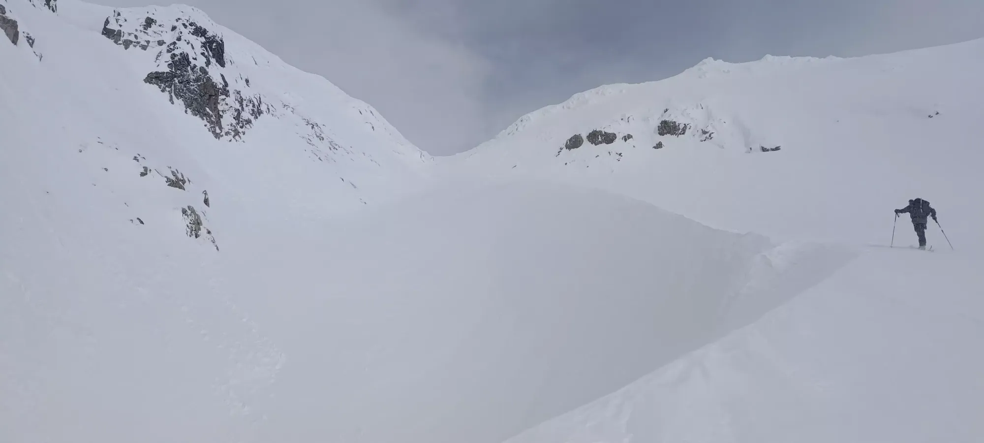
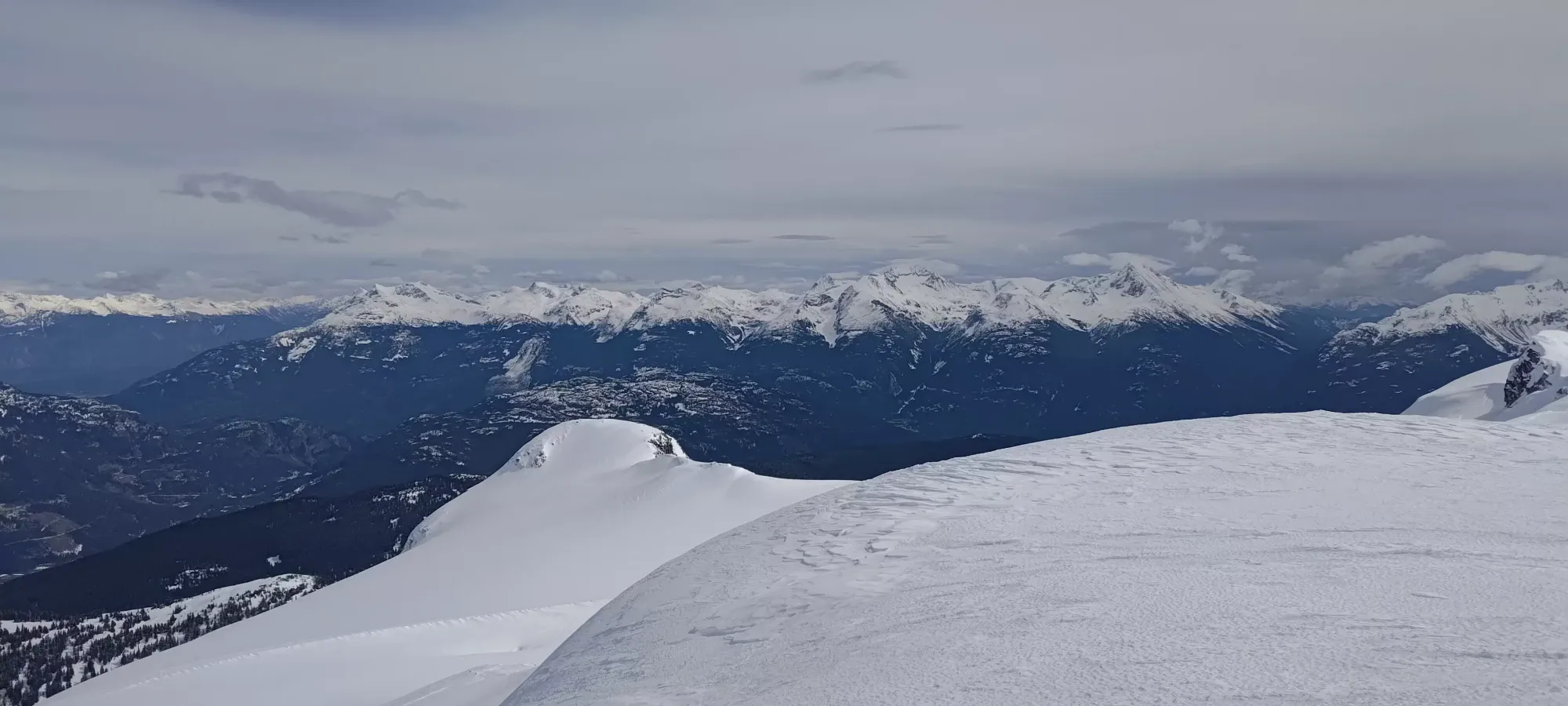
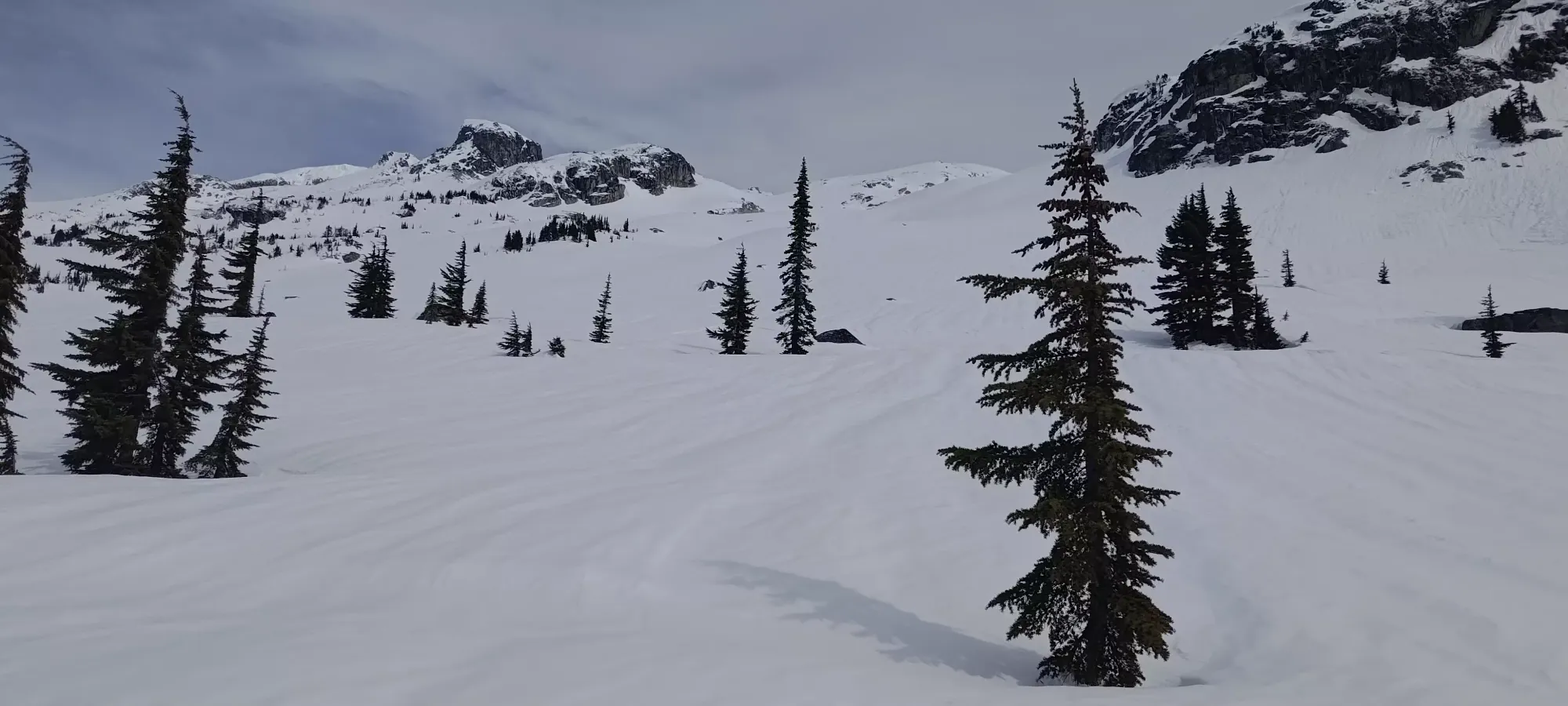
As we approached 1900m, we entered a small bowl which probably held a glacier not-that-long ago, but by satellite, and my recollection from looking across the valley in the fall, was just snow now 😥. This also presented us with a bit of a challenge to get through, since the sides were a bit steeper, and we'd need to switch back pretty aggressively in the firm snow to get up. I chose to pick the gully shown below, which the others agreed with, and gave me the dubious honour of finding a route up. With softer snow, it would be pretty easy, but in the firm/crusty snow we had, I was very happy to have ski crampons. In fact, one of the guys actually gave up near the choke and just booted until it got shallower again, since switchbacking was pretty difficult in that terrain.
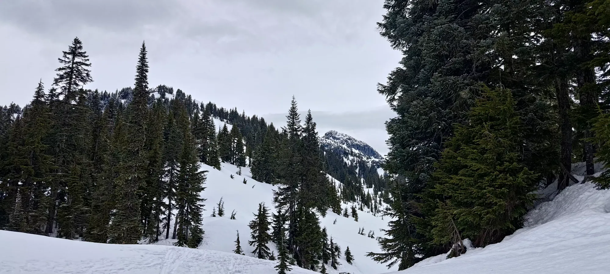
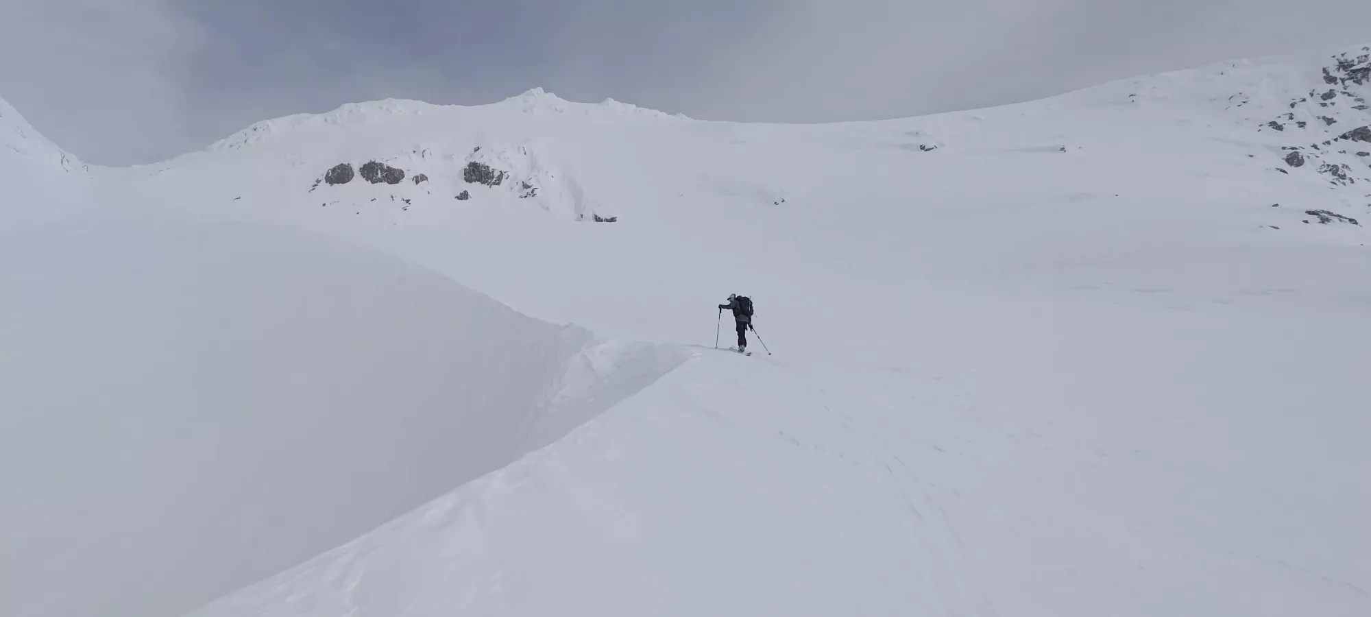
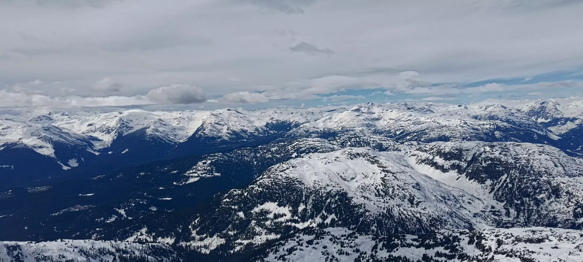
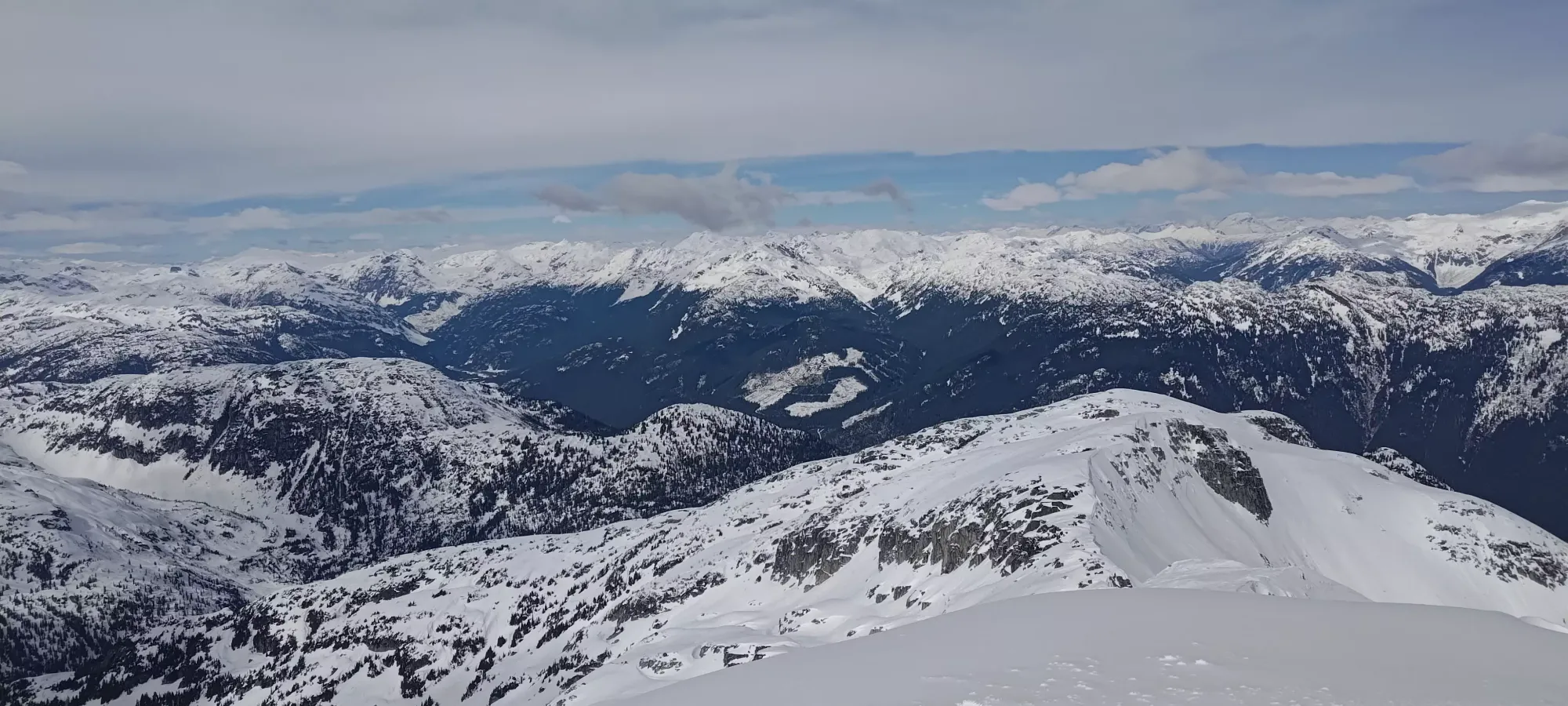
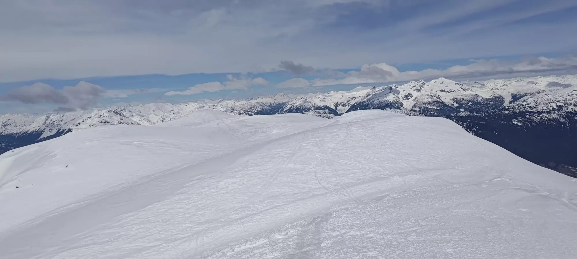
Once we popped out a bit below 2000m, easy terrain resumed, and we got to the toe of the S glacier at around 12:30pm, or just before 4 hours into the day. Here, we had a pretty good view of how most of the ascent would go. A quick traverse to a snow lip, a 10-20m descent down, and contouring along the large wind lip on the climber's left side of the glacier should avoid any crevasses I spotted on satellite (not that we saw anything of concern, or felt the snow was anything other than bulletproof), and get us up to the 2250m col where we could curve around the north side to get access to the summit.
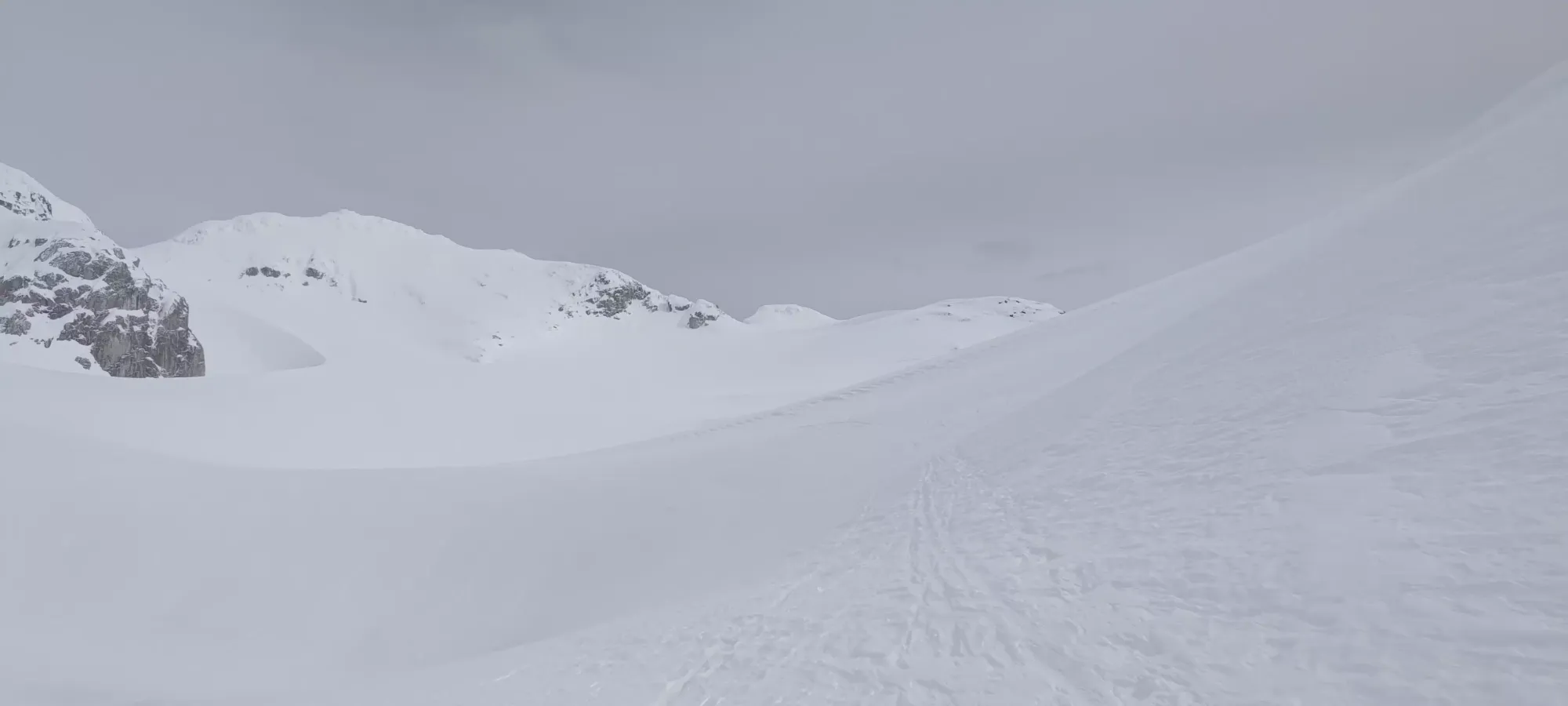
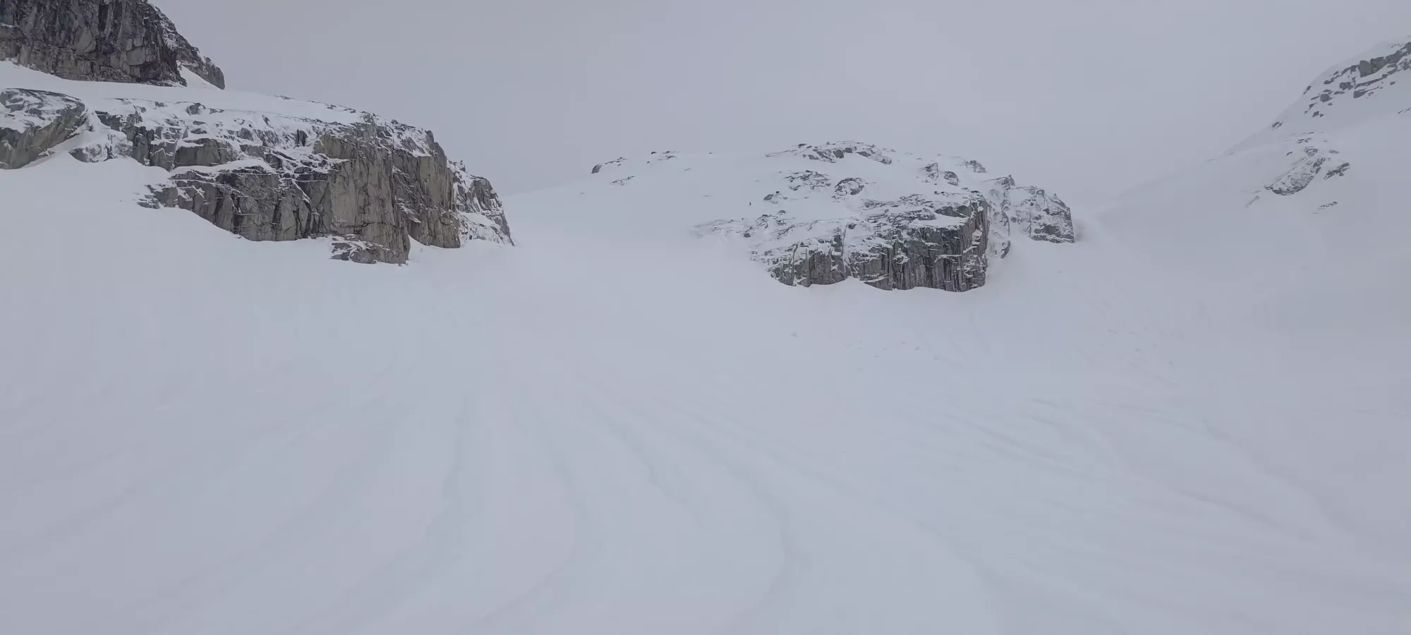
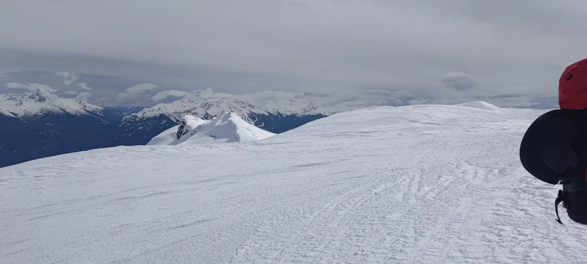
We took about half an hour to get up the glacier and onto the pass. The glacier was very easy travel, though the upper gully that got us right onto the pass was a bit steep and slippery with, again, very firm snow. The winds were also picking up (more so once we topped it out and were more directly exposed to the northerly winds), and made things pretty chilly, even though the sun had broken through the clouds at this point. Once we all collected up top, we discussed our options. The guys were wanting to have a lunch break, and considered dropping onto the north glacier to find some shelter, but I convinced them that some rocks would provide a sheltered lip on the route to the summit, without losing any elevation, so we headed that way instead.
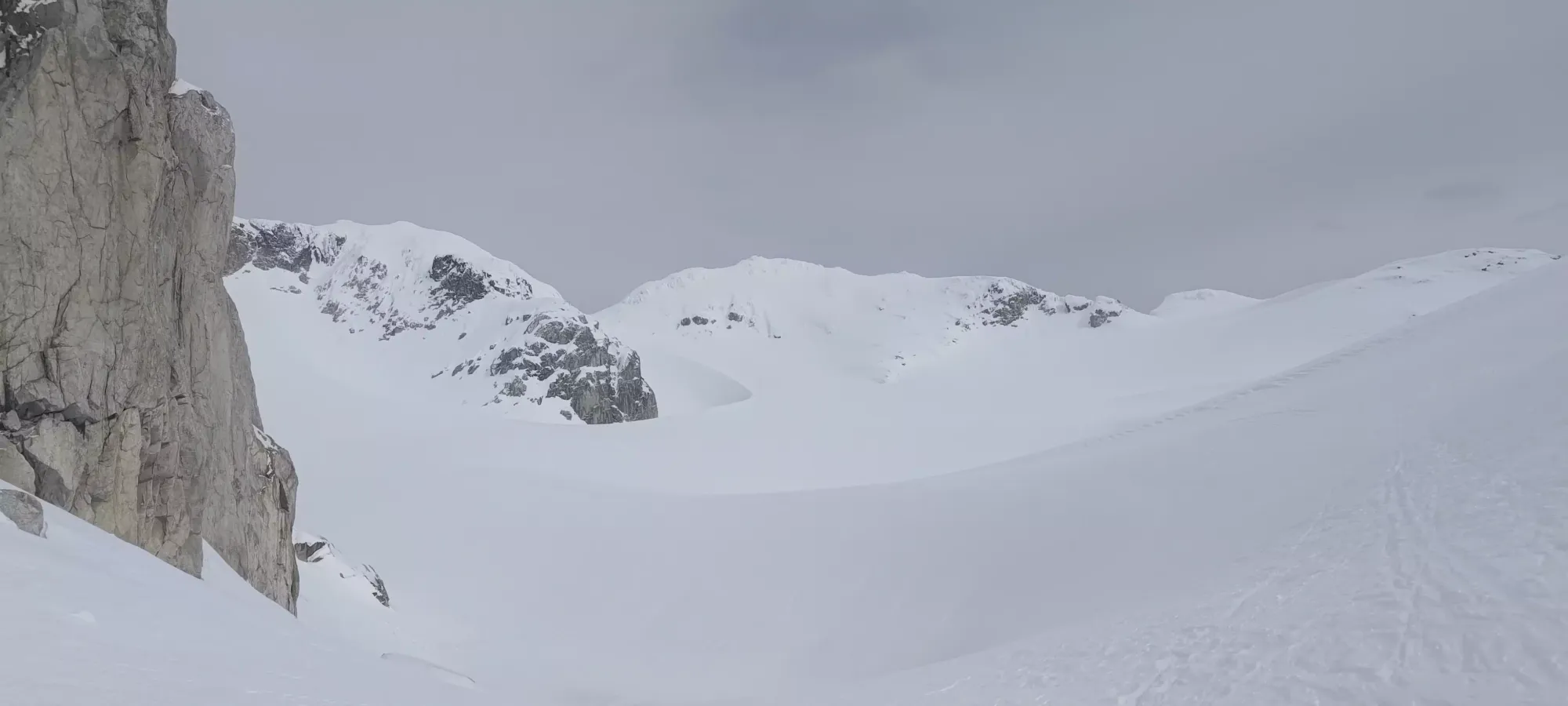
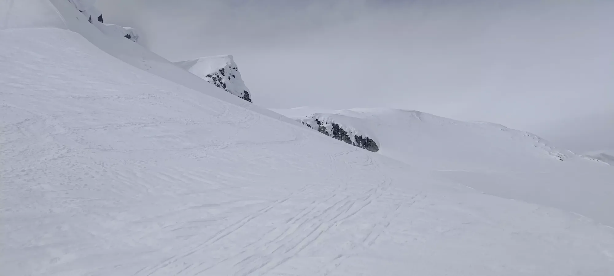
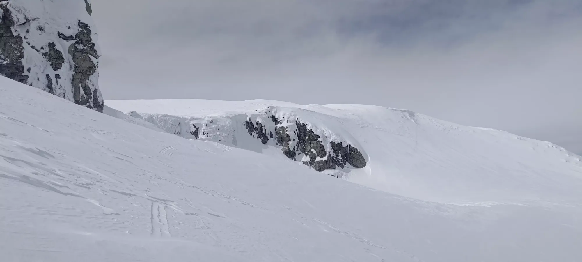
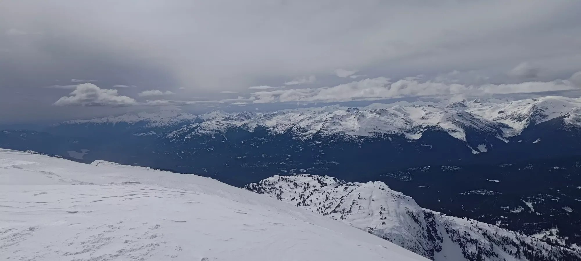
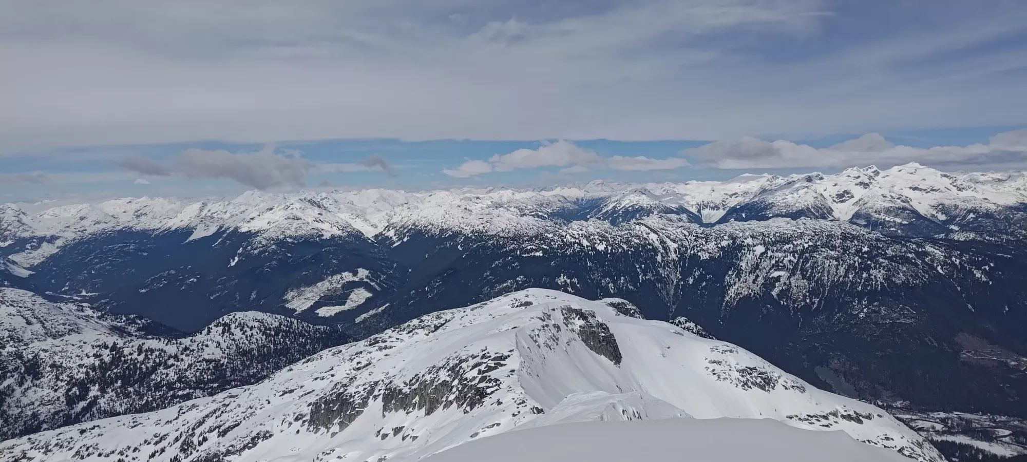
The glacier after we made our short descent, and a couple shots as we contoured around the wind lip
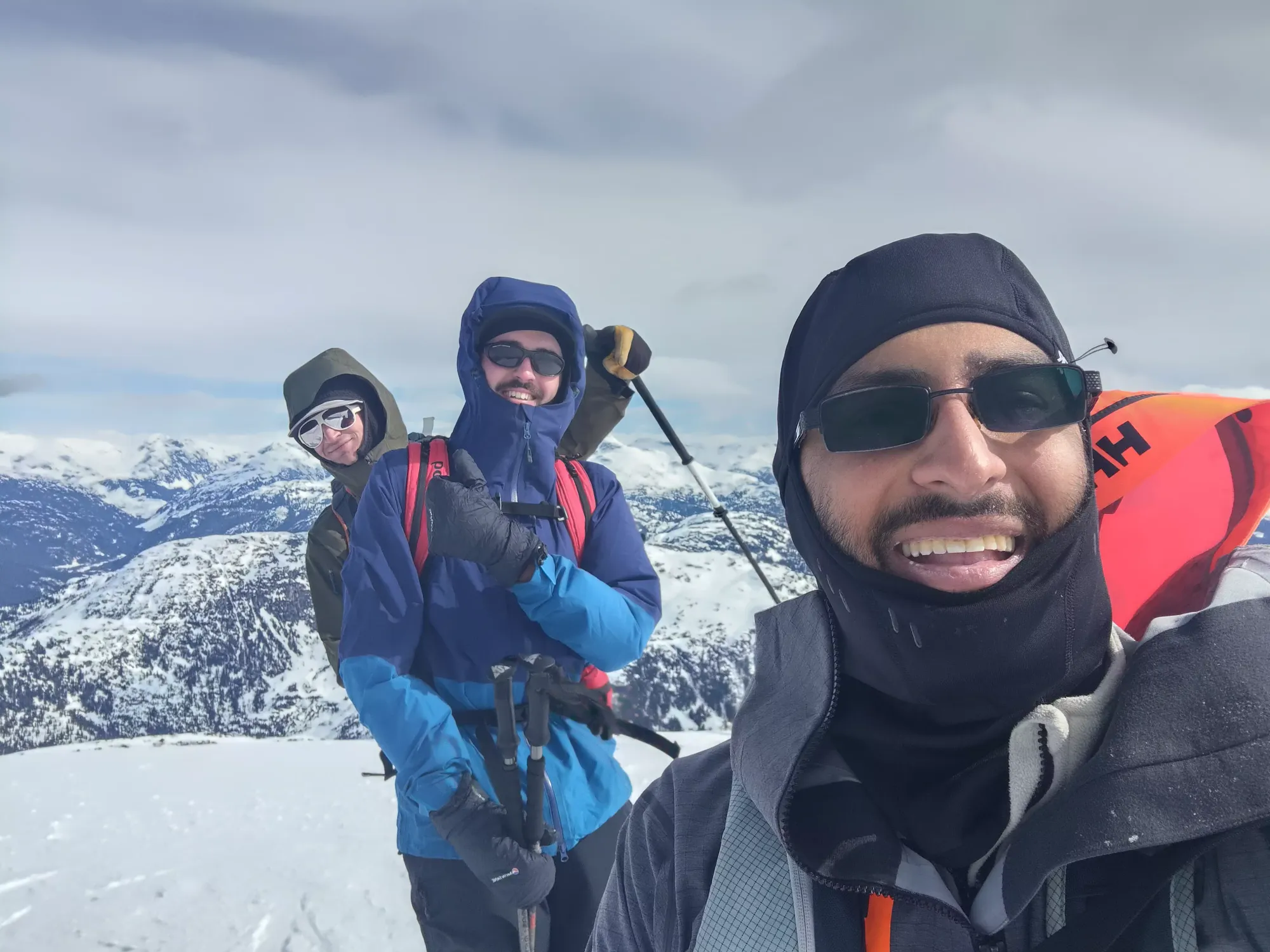
It only took a couple minutes to get to the spot noted above, where we took our lunch break. Since I was still on the nothing in, nothing out program thanks to my colitis, I just sipped some water, but I was still feeling alright, if a bit tired, so it wasn't too bad. Other than the wind, we were all quite pleased with the fast-travel snowpack, and the timing of the sun, it came out just in time to soften things up for our way down, or so we hoped. Plus, it was cold enough the few powder stashes we found in sheltered terrain should have remained soft for the day! We hung out here for about 20 minutes, slapped some layers on, and started our summit push.
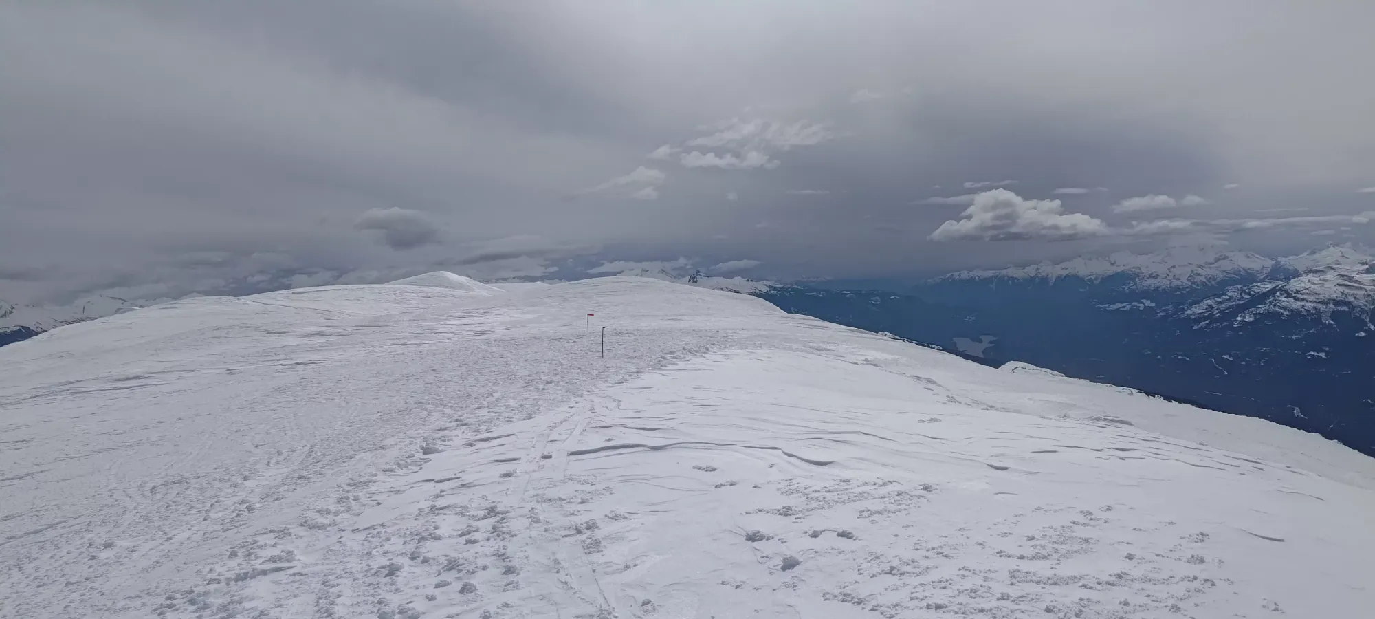
From there, we had one steep section to gain the final summit ridge, where 2 of us ended up removing skins and booting about half a dozen steps, just because the snow was so firm and switching back was quite difficult. After that, though, it was smooth cruising to the top, which took around 10 minutes total from our "lunch camp". It was difficult to tell what the true summit was, and the wind made checking phones rather frosty, so we just walked to the far end of the ridge, where a couple stakes in the ground made a good case for that spot being the top. Once there, though, a high point closer to the beginning of the summit plateau kinda still looked higher, so we wandered back there as well after doing our photo-op at the more photogenic spot that was staked-out.
After tagging the top, we dropped down on the south side of the peak to transition with a slight amount of shelter from the wind, and figured out our game plan to go down. There was some debate about whether or not we should lap the north glacier once before going down, but with the looming spectre of the gate closure for their car, and the blustery winds, we decided to just take the W and head down. Between wandering around the plateau, photos, and transitioning, we spent a bit over 20 minutes on top.
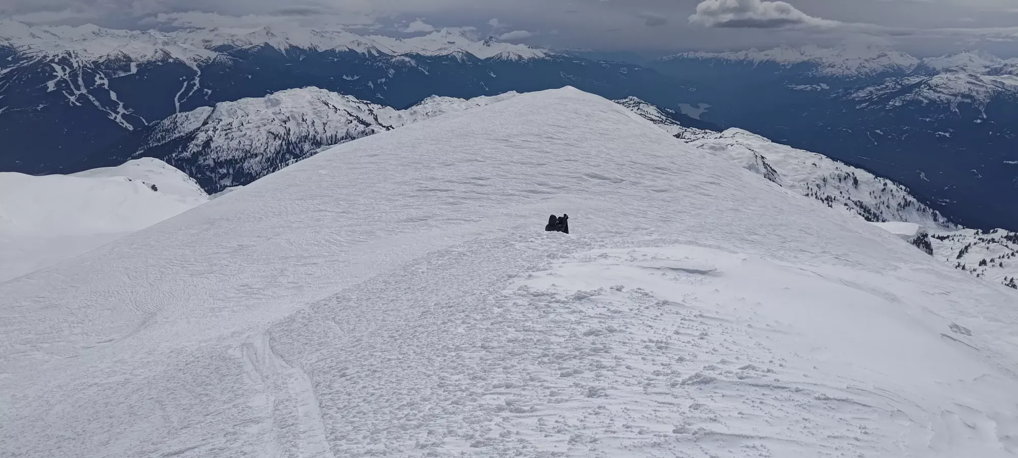
The ski down was pretty simple, if not particularly exciting. The way down to the col above the south glacier was mostly just a traverse, the glacier itself was short and super hard/chattery. Getting down to the 1900m bowl we had some soft spots, which was nice. The slopes below there down to Rainbow Pass were mostly quite chattery, with the added bonus of refrozen runnels that made it very bumpy if you did anything else than point it straight down 😆. Closer to the bottom we did get some snow that was starting to soften into corn, at least. That took us about 20 minutes.
From there, we decided to skin to the top of Rainbow Pass for a little extra fall line vs our more efficient way in that saved a bit of elevation gain. That took a bit under 10 minutes of skinning, with probably just as much if not more in transitions/break time. That allowed us a bit over 100m of fall line in pretty decent snow down to Hanging Lake.
The lake crossing and climb back up the other side took about 10-15 minutes, with us just skating across and side-stepping our way out the other side, figuring a little suffering was faster than busting skins out, which I think ended up being true.
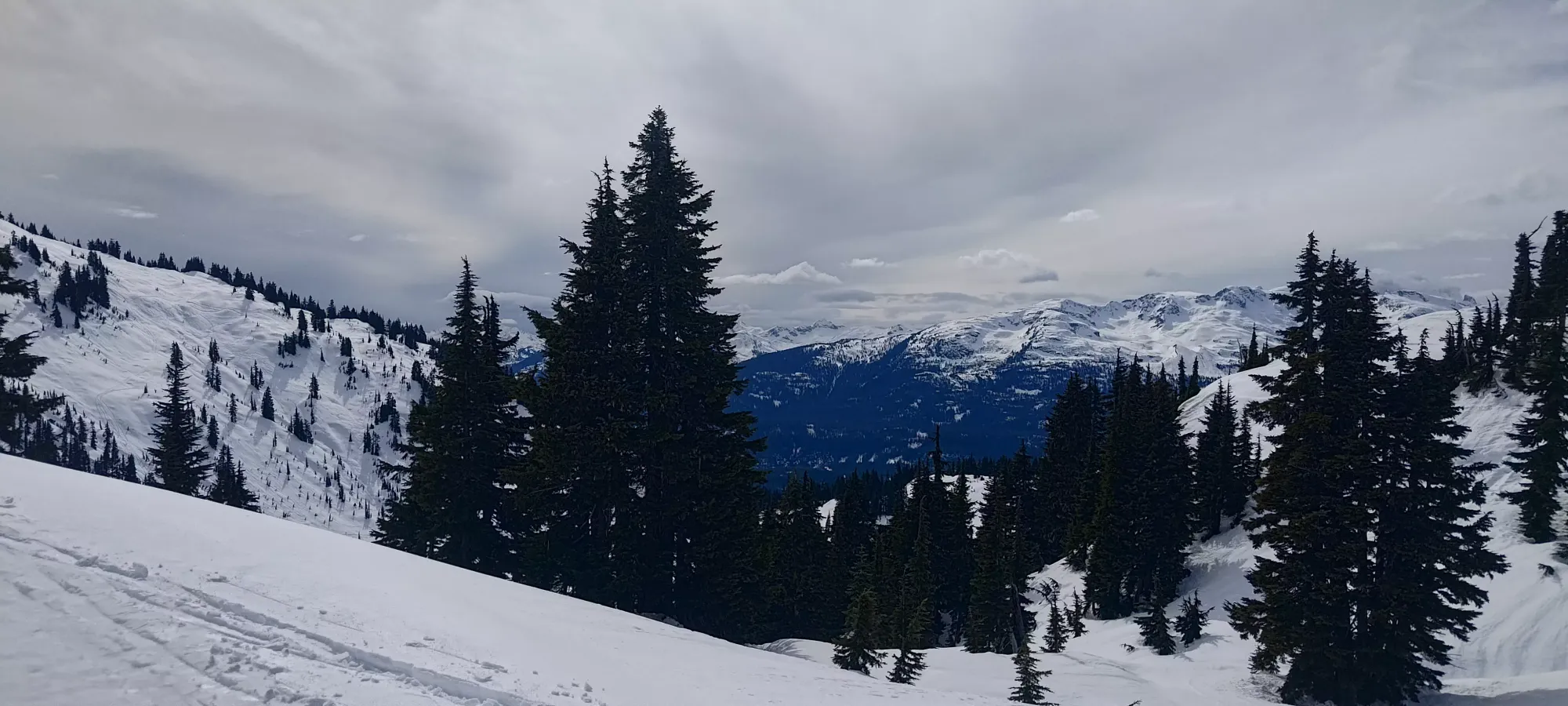
From there, my new friends convinced me to be adventurous and explore some trees more to skier's right of the main skin track, which ended up being a great plan. The snow was softened up nicely by the heat, but still not sticky, so we actually had a fantastic time skiing down to the creek at 1260m. We even found ourselves a way to ski across instead of walking over the bridge, which was sweet. From there, we mostly stuck to the skin track, which ended up skiing much better than we expected, being soft enough to just playfully toss turns the whole way down.
We got down to the sign at the old road in about 20 minutes, sadly booted down a few steps to that road, then decided to explore the trees between the Nordic runs to try and get a steeper and more direct way down to the car. That ended up working great, and we got back to the parking lot in less than 10 minutes! From there, we just de-geared, and I got a ride to the gated road where I stashed my shoes, and had to do a little bonus walking to retrieve them, and get myself out in time to meet some friends back in Squamish for dinner.
Overall, this was quite the good day. A p1000 summit, awesome views, some pretty decent skiing, new friends, and the whole thing took less than 8 hours! Skiable summits really are pretty great 😃. 10/10 do recommend Rainbow, and as a ski.
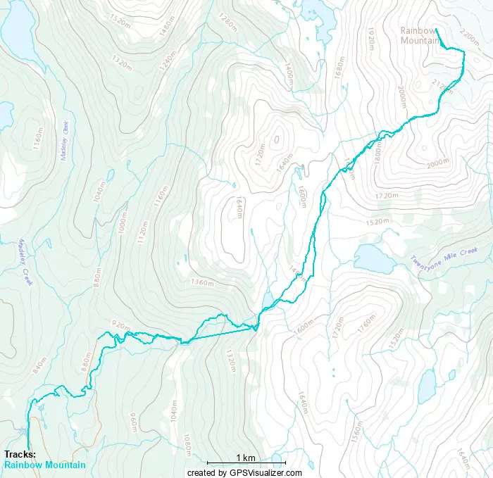
GPX Track + Map