Round Top - April 1 2024
A great ski objective with a fun scramble at the top for extra "mountaineering" feel. One of the shorter trips for a p600 peak around

Mokelumne Wilderness Area, Carson Pass, California
3164m
Man, the weekend of April 1st was a hectic one. I made a last-minute call to drive down to Tahoe on the Friday (it was a long weekend, so that was a holiday), chasing forecasted dreams of one final, proper powder day before spring skiing took over. That was an exhaustingly long drive, but I rolled in just before midnight, and proceeded to rest exactly not-at-all skiing some amazing powder at Kirkwood for the weekend proper. I did try my hand at one lift-assisted summit, but sadly my lack of "looking anything up at all" meant I was surprised to find a class 4 scramble that I got to the last move of before calling it, as it was just too sketch in ski boots. Oh well, at least I got to achieve the goal of great skiing, it was 2 days of just constant powder runs, no lines, and good times.
My attempt to get Thimble Peak in Kirkwood was thwarted by that final, sloping rock at the top. Not for ski boots, especially resort boots. The downclimb from that point was interesting enough already
However, all that fun aside, if you're familiar with my style of doing things, with great fun must come great suffering. So, I decided to use the weather window in the morning on the Monday to get at least a p600 while I was still in town (no ultras are really very close, and the p1000s weren't easily done in a morning, which was important since I still had to work). So, after narrowing down a few options, Round Top won due to the estimated stats, popularity which gave me some hope of a broken trail, and relatively safe terrain, since the snowpack was a bit of a wild card. I had a backup really-quick peak I could get if I had to turn back 😅, so all things pointed to a go!
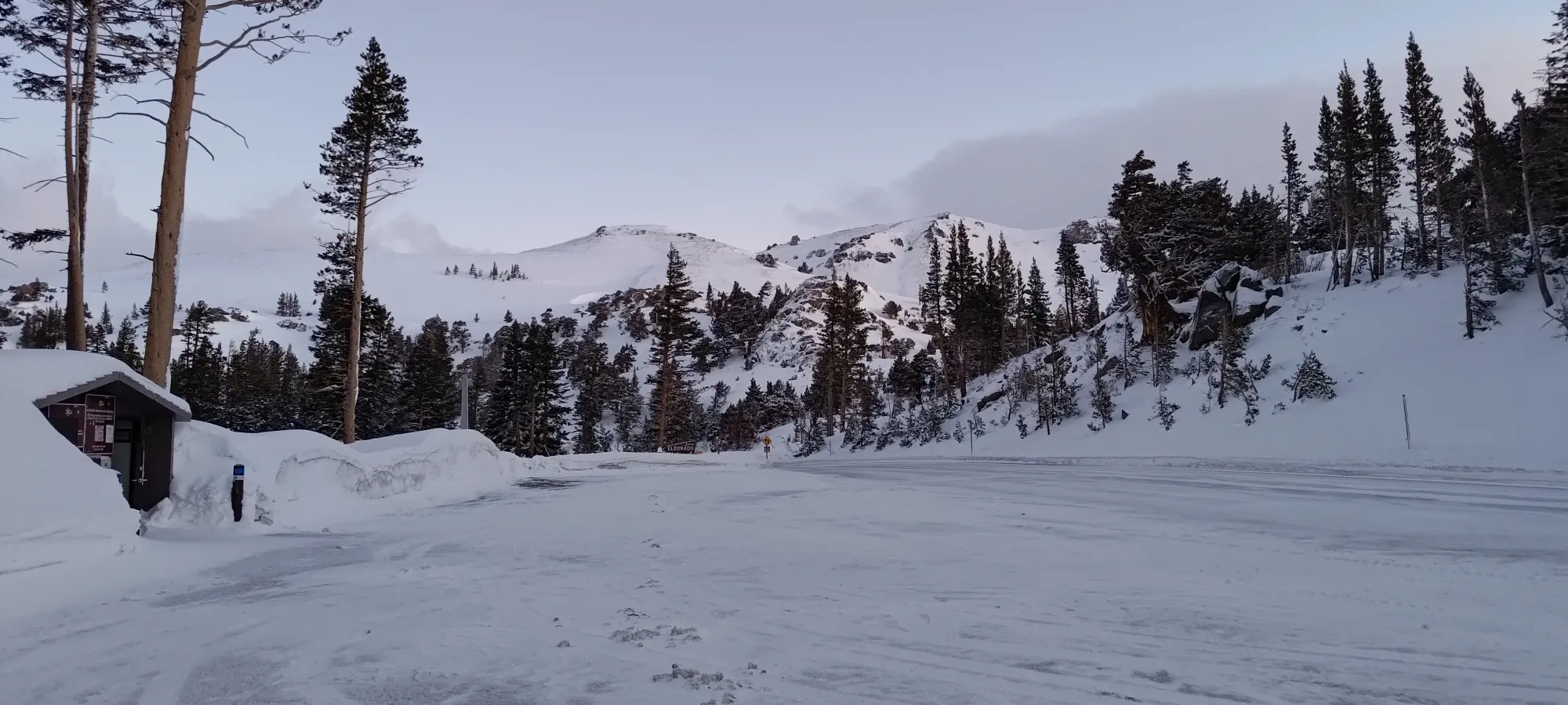
Unfortunately, as if a full day of driving, 2 of skiing, and 3 with pitiful sleep wasn't enough, I got paged for a false alert a couple hours before I was supposed to get up, so that made my alpine morning feel even worse than expected 🙃. After convincing myself to get up and move, eat, go to the bathroom a couple times, and driving to the trailhead, I arrived a bit after 6:30, and got moving at quarter to 7, right around the "official" sunrise time.
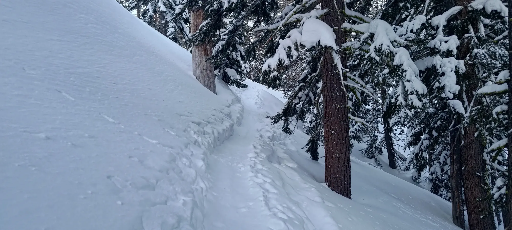
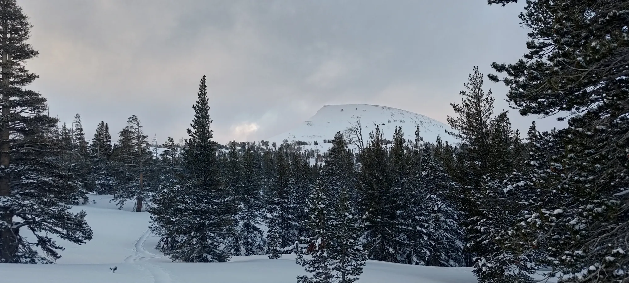
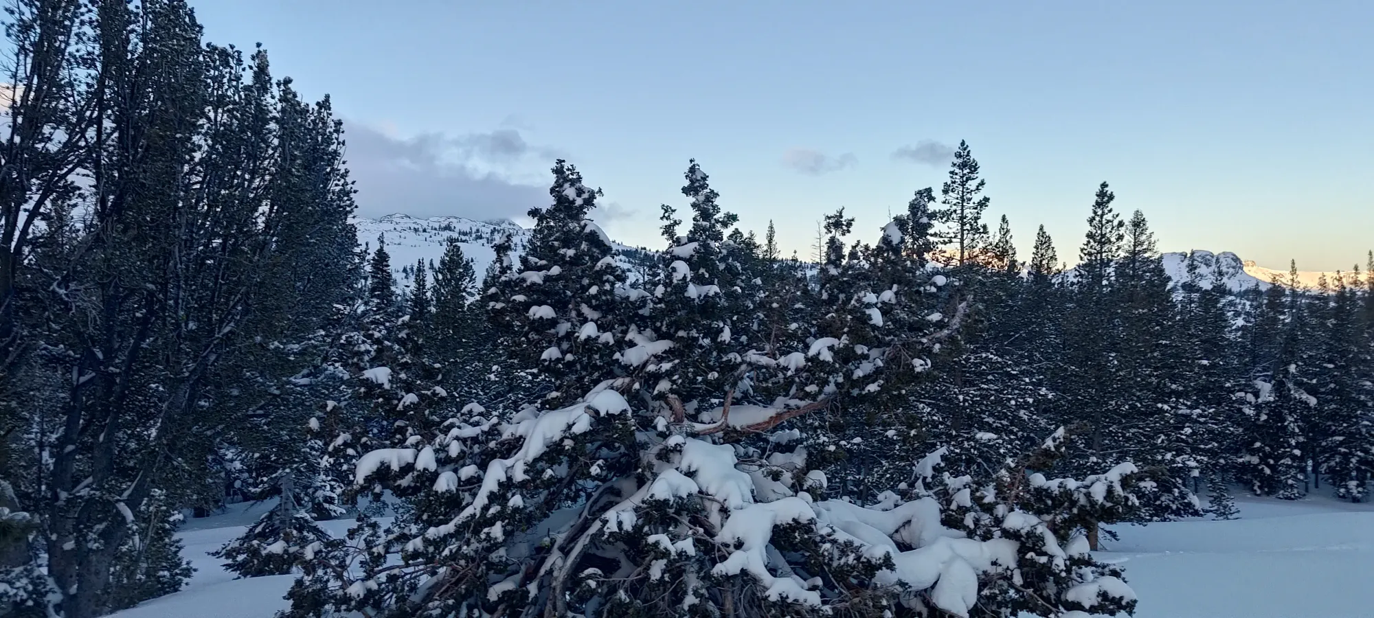
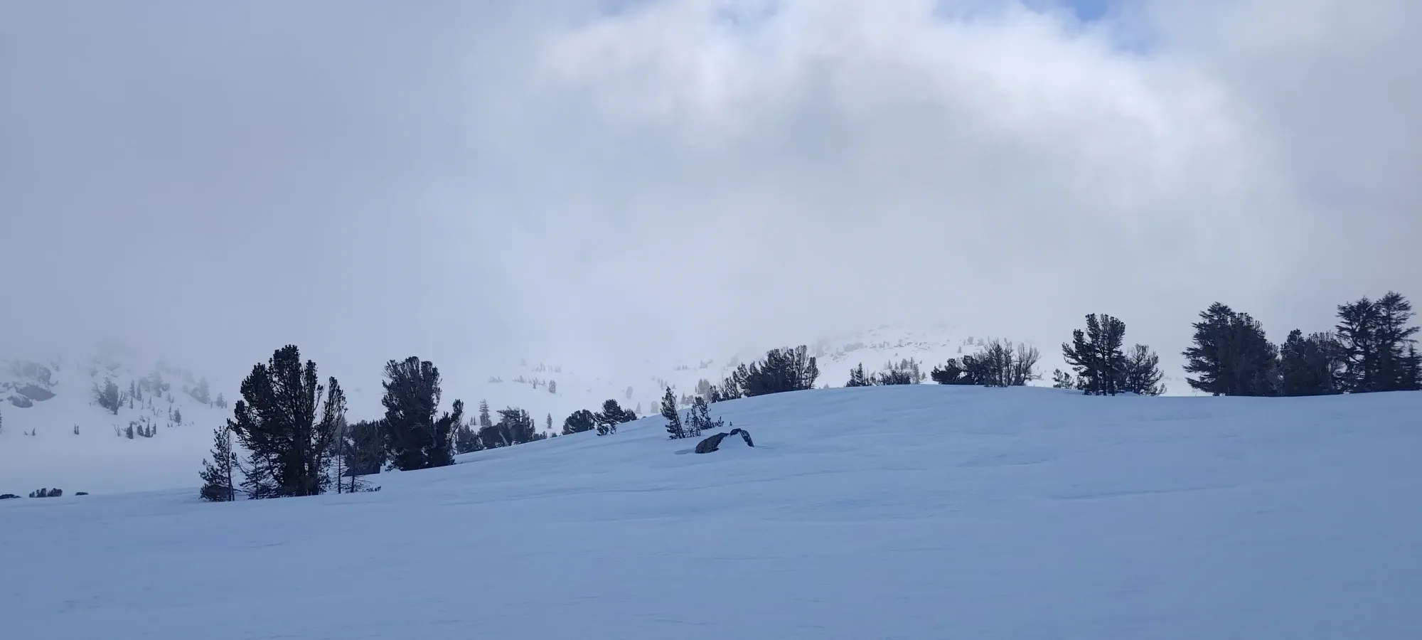
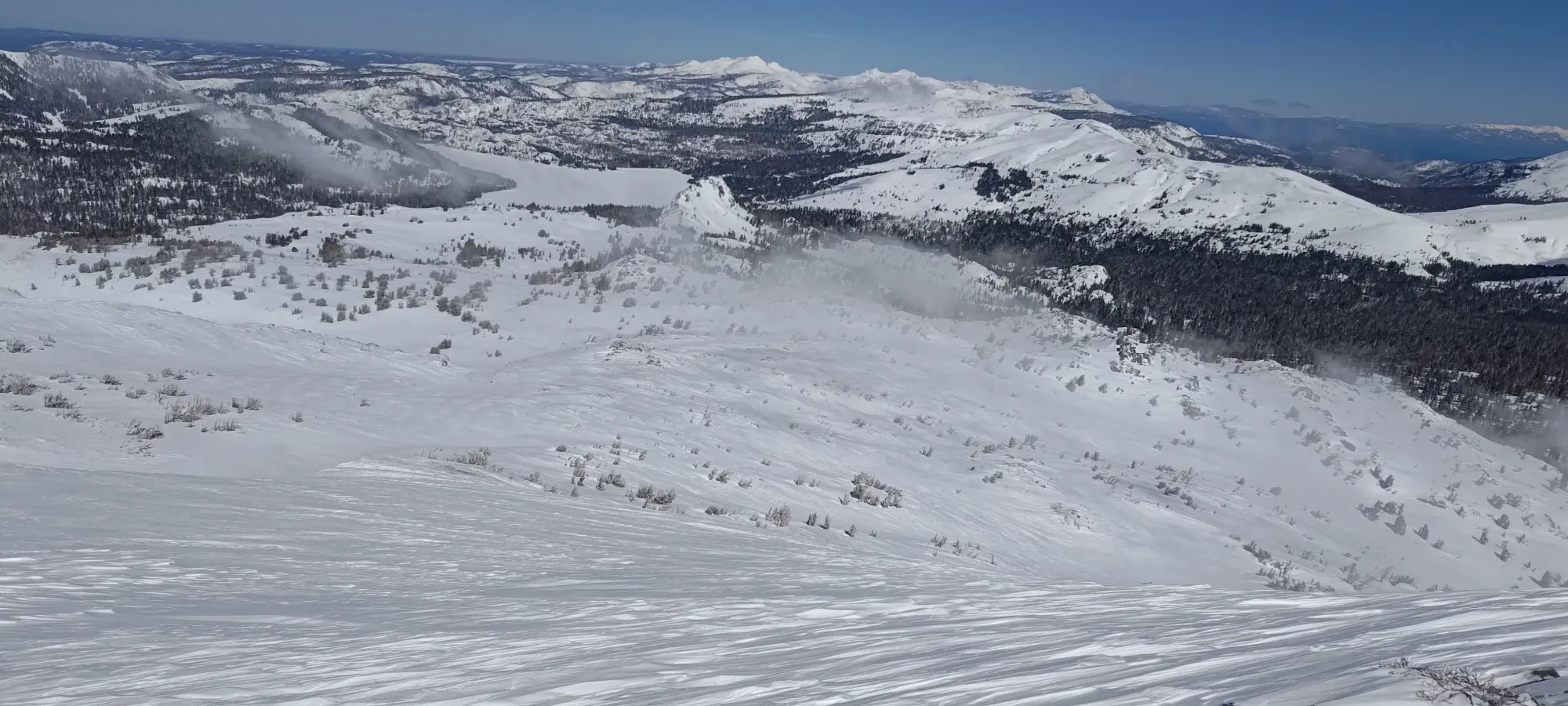
I was happy to see that there was a skin track from the trailhead; although it had a few cm of snow on top of it, that wasn't enough to really slow things down. It was also pretty cold+soft snow, which was encouraging for the quality of the skiing to come. I took this at a casual pace, stopping often to make sure I was taking the correct forks in the skin track (there were many), moving just over 1km and gaining about 50m in the first 15 minutes, which is where I got the first views out of the forest towards... not my peak, but another P100 in the same area called Elephants Back. More on that later.
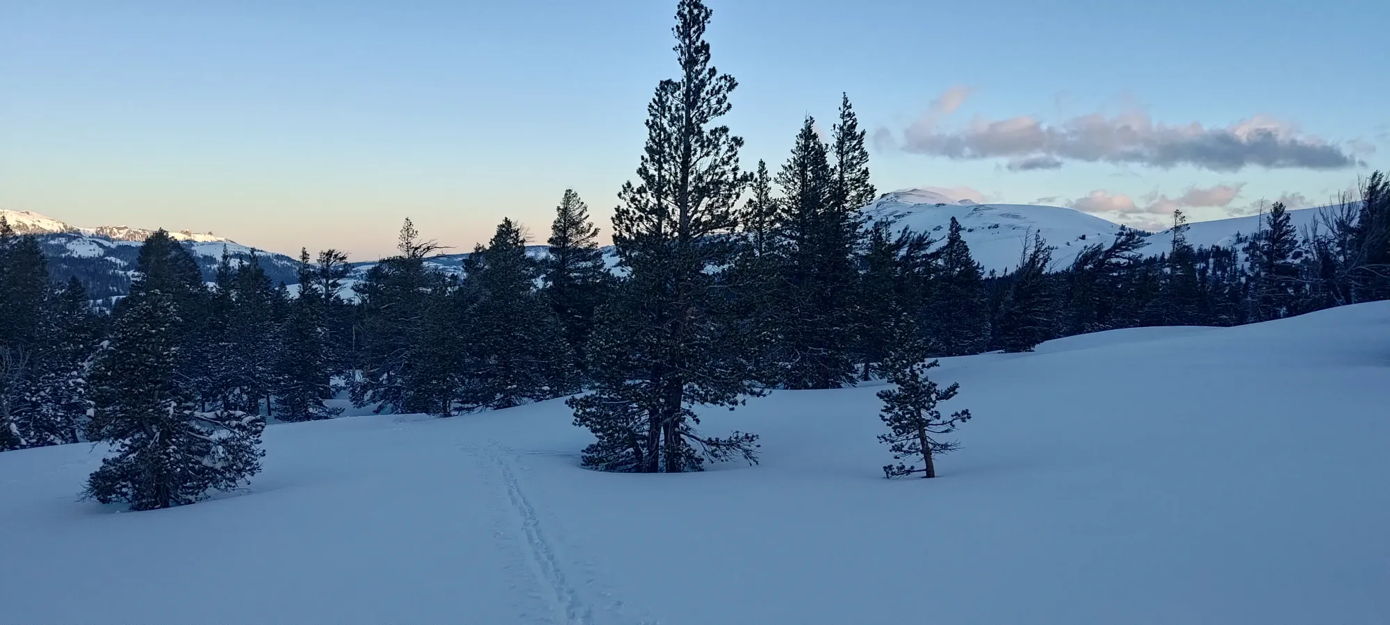
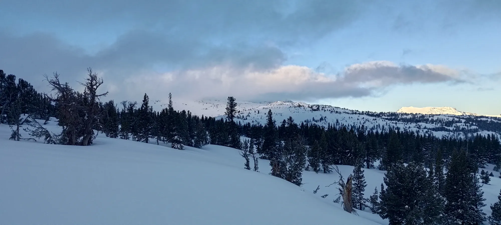
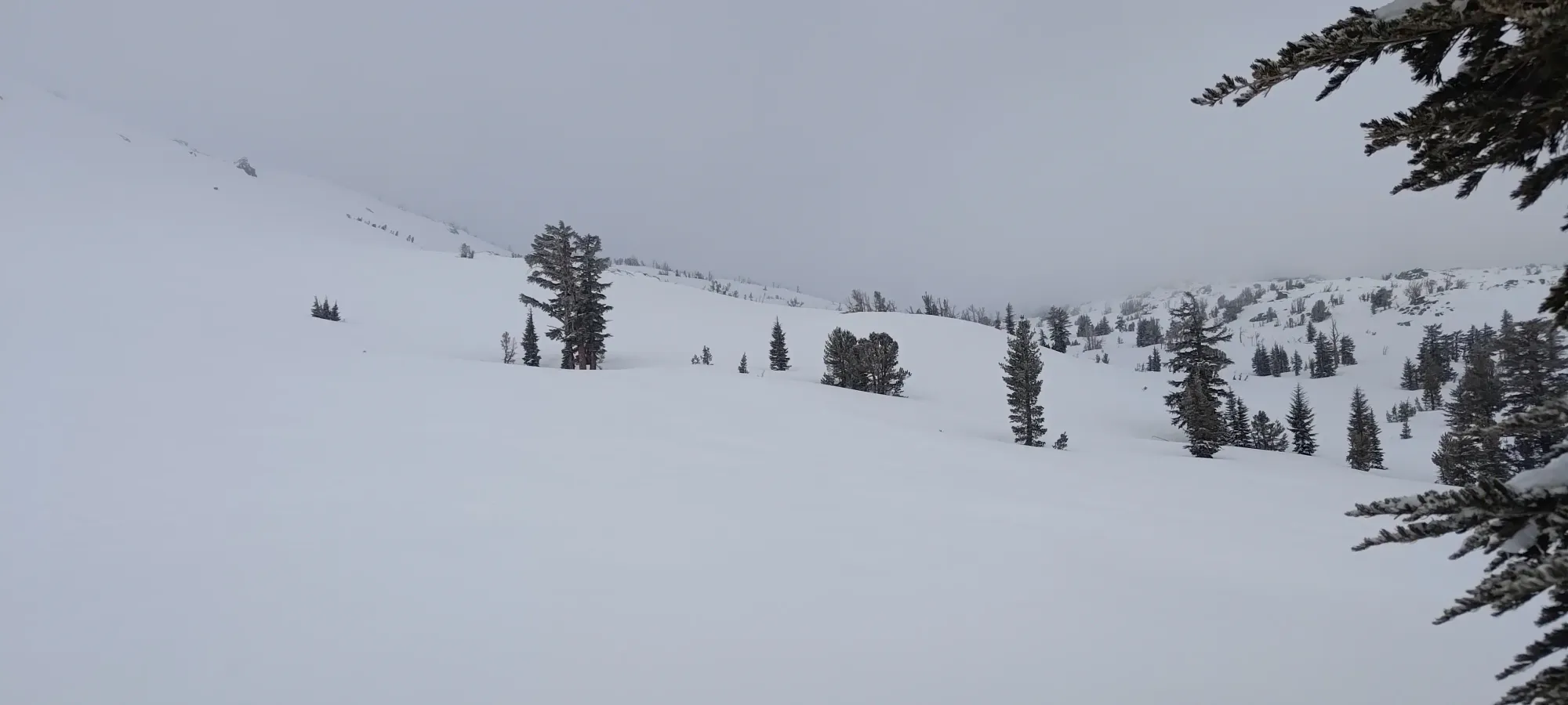
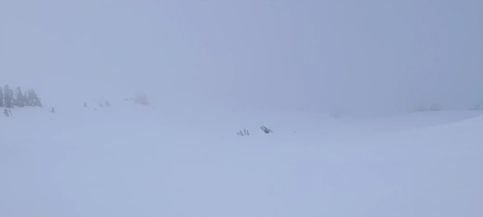
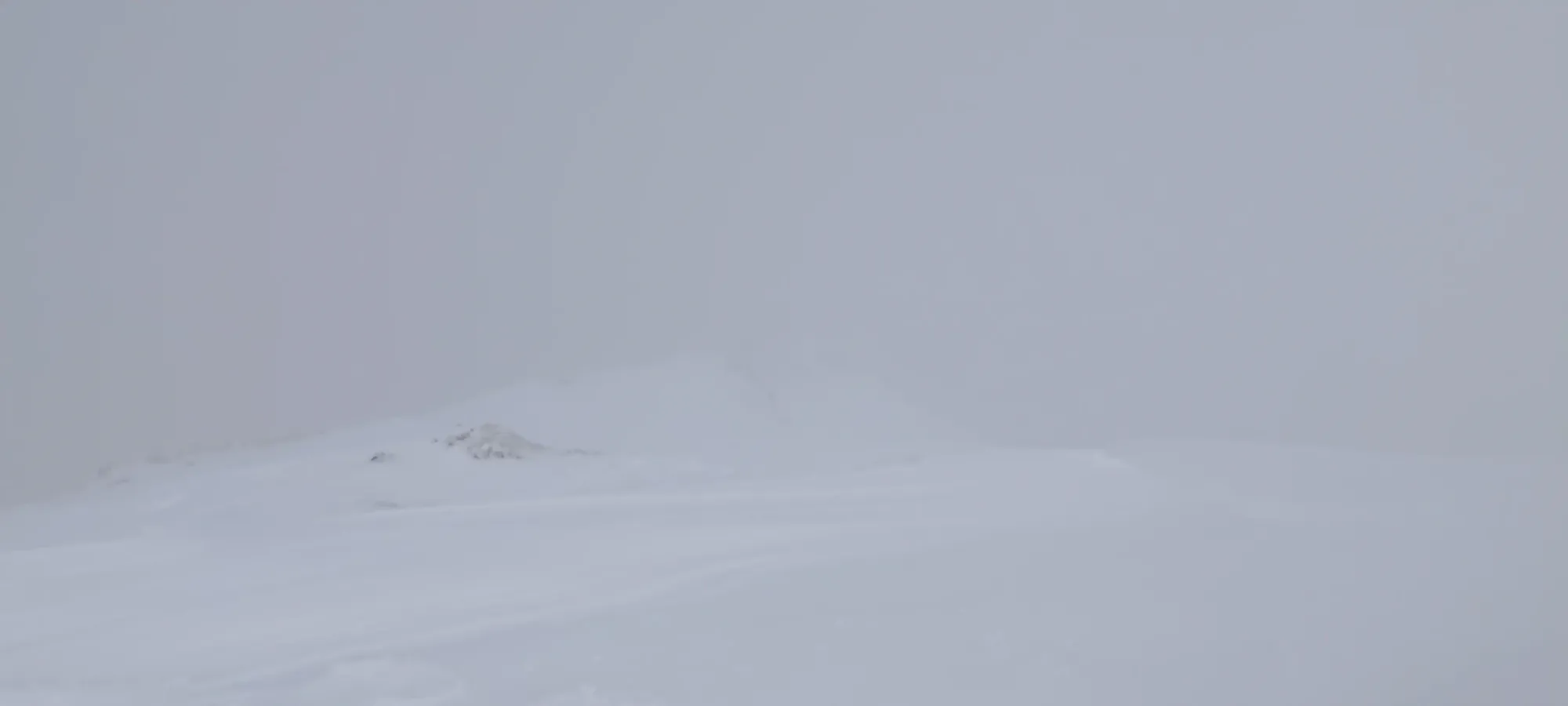
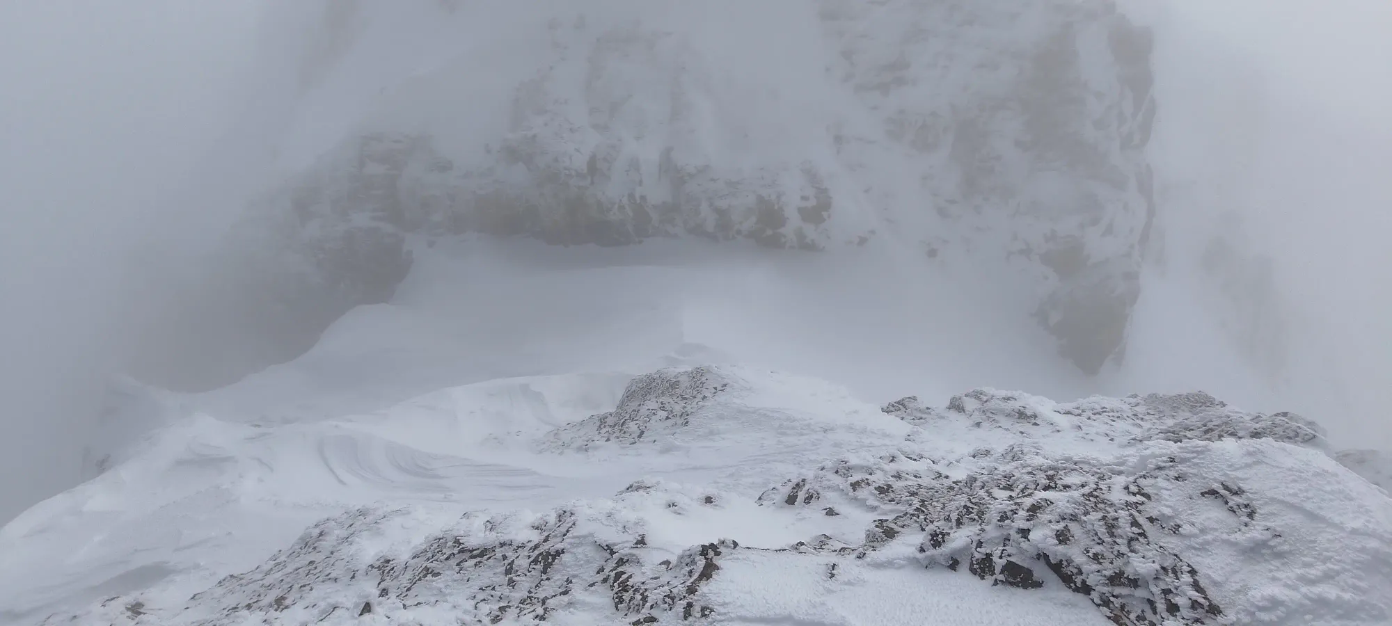
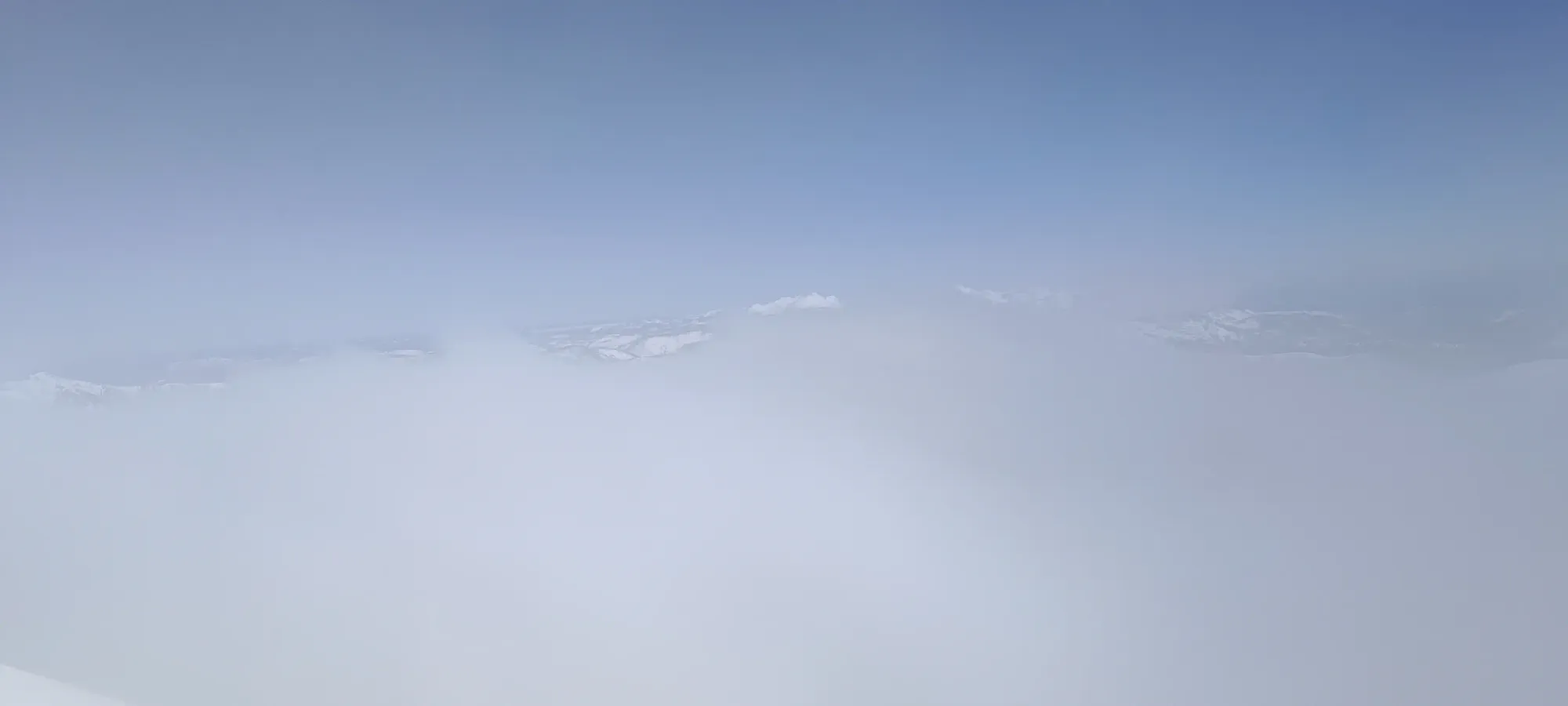
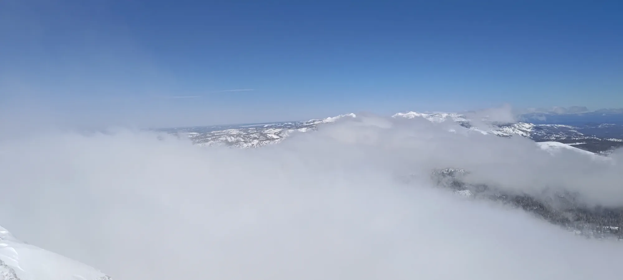
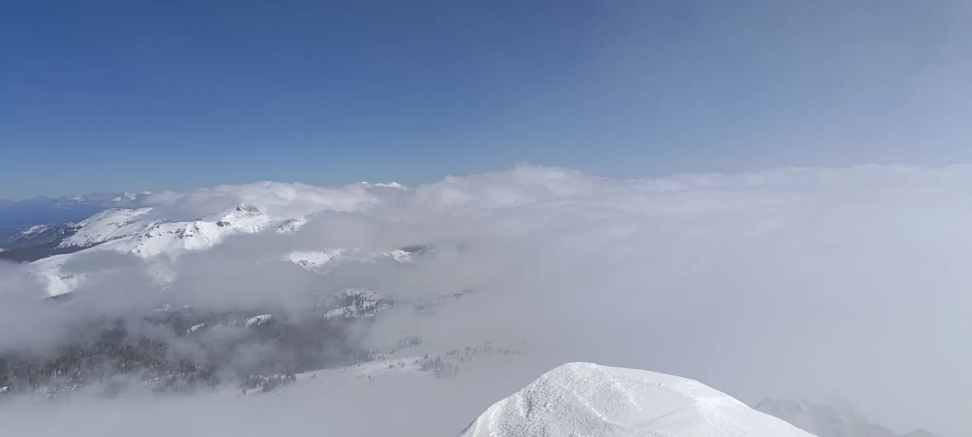
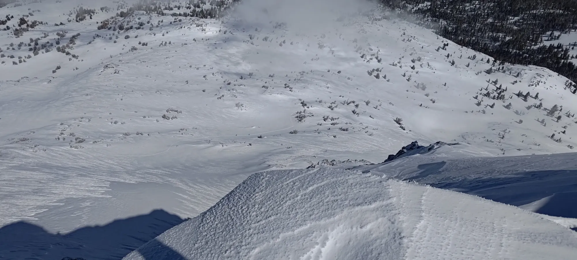
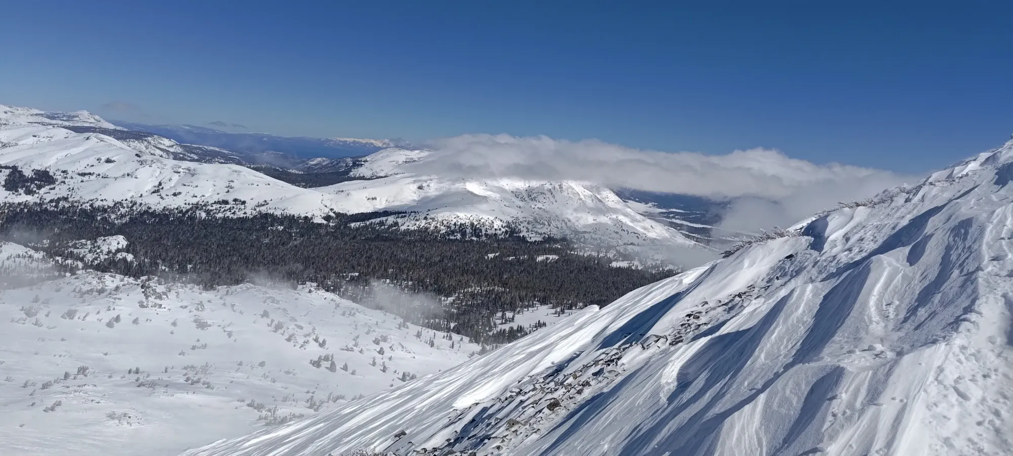
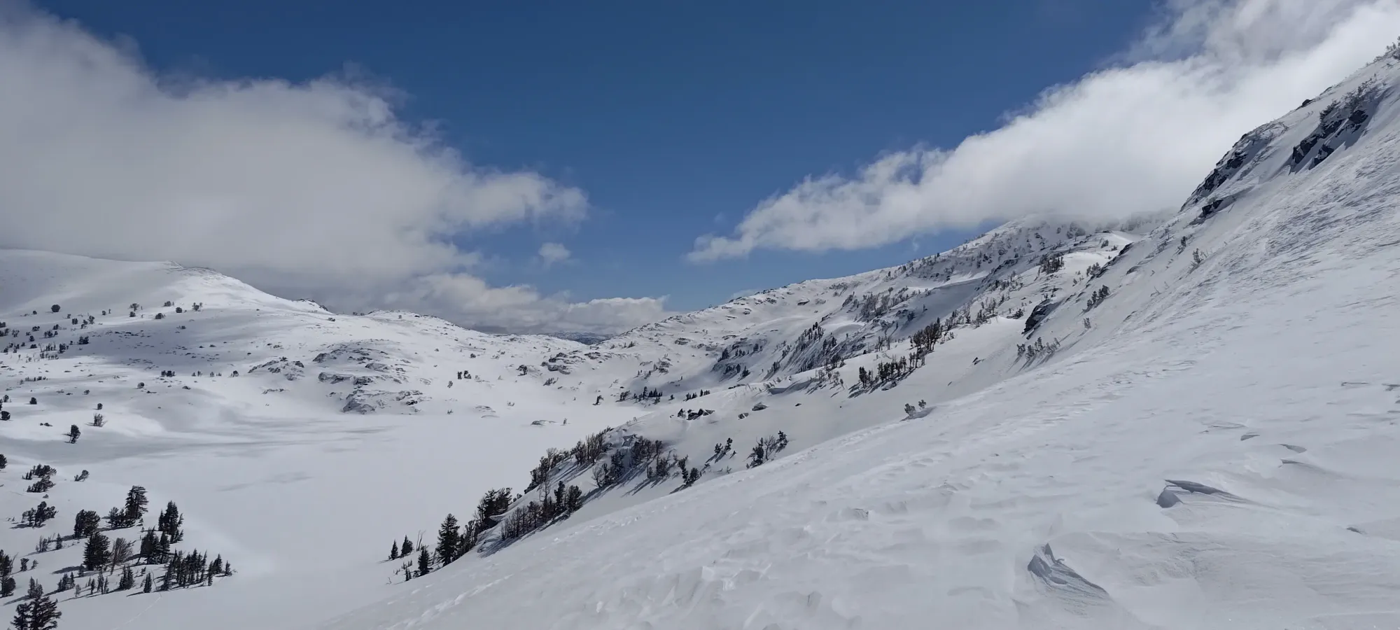
The next 45 minutes were a pretty tedious, flat walk, gaining maybe 100m over 2km. Unfortunately for me, the skin track also died pretty hard once I turned away from Frog Lake, and I ended up breaking trail in a rather annoying breakable wind crust from this point onward, which made the whole "quick, easy peak before work" thing a bit harder than was planned 😅. Nevertheless, with the clouds still easing visibility in and out throughout the walk, I arrived at the high point above Winnemucca Lake, where I had to make a small descent to around lake-level (2740m) to start making my way into the "meat" of the route.
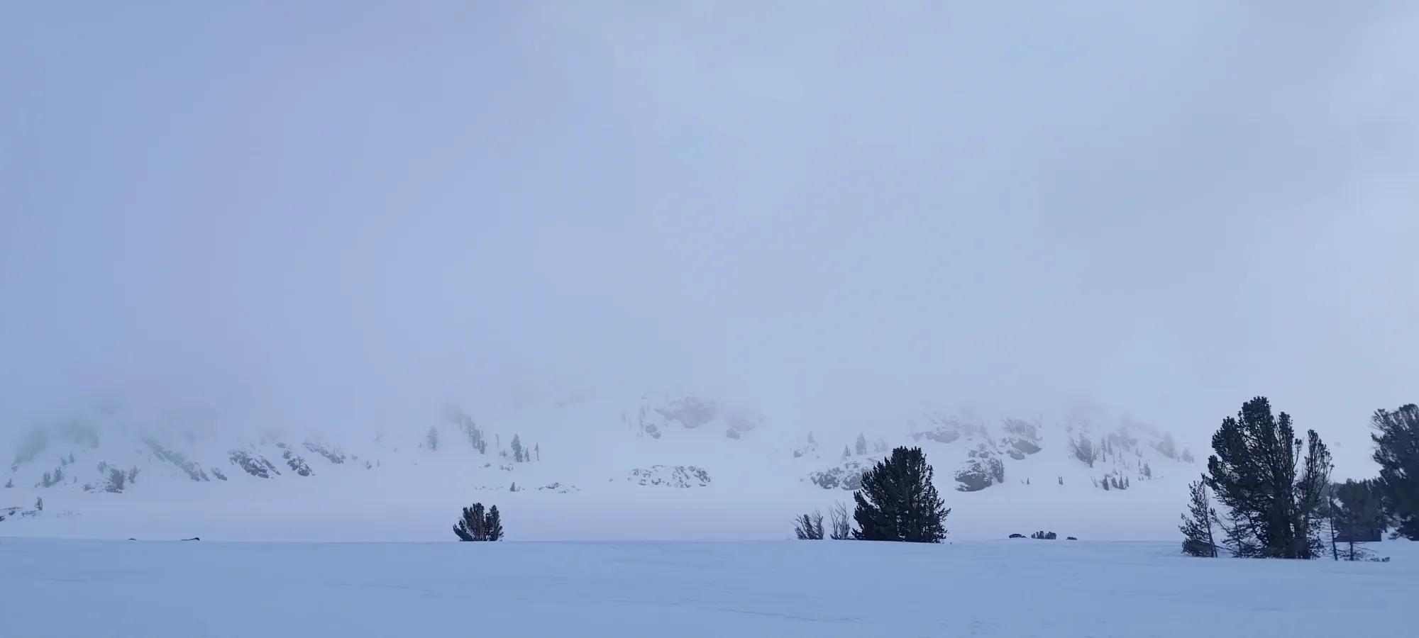
After a short pee break before making my way down, I did my best to stay as high as possible on the northwest side of the lake, then started heading towards an obvious weakness in the ridge coming off the ridge between The Sisters and Round Top, the terrain up to which (and past) should have offered the safest route possible. On my way up, I had made a couple hasty pits which showed the top crust reacting when isolated, but nothing stepping down, so I felt pretty good, but still, no need to take chances when skiing solo.
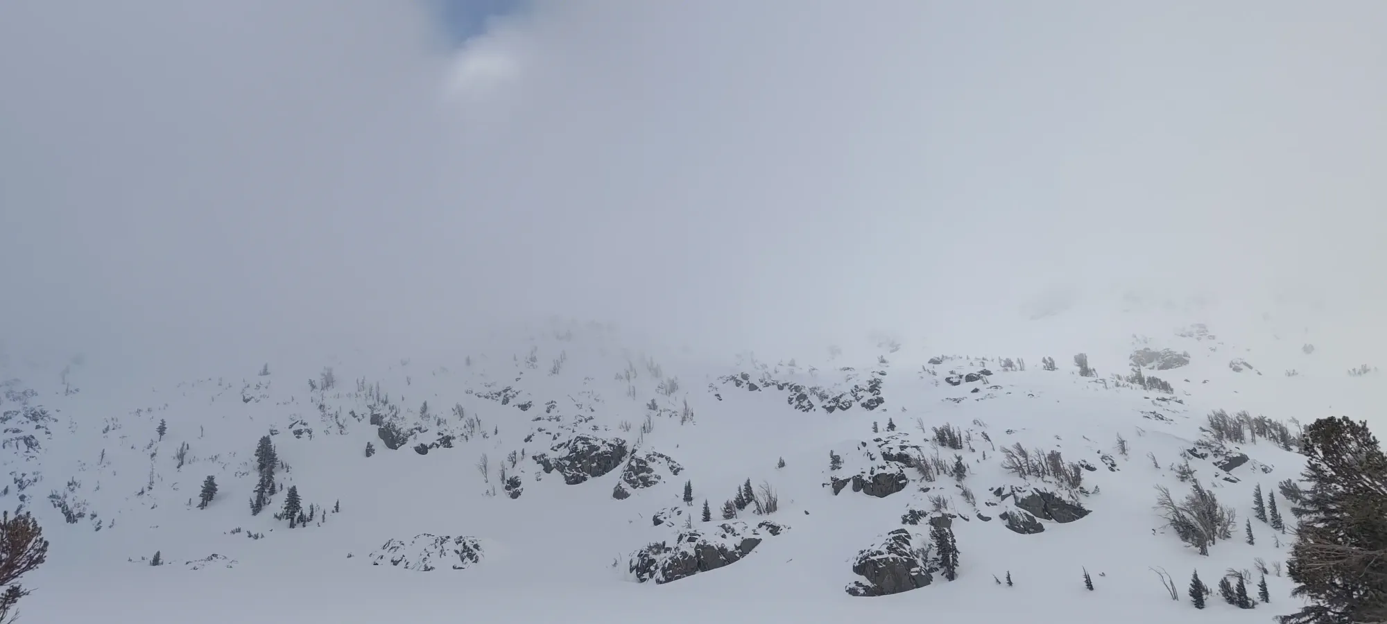
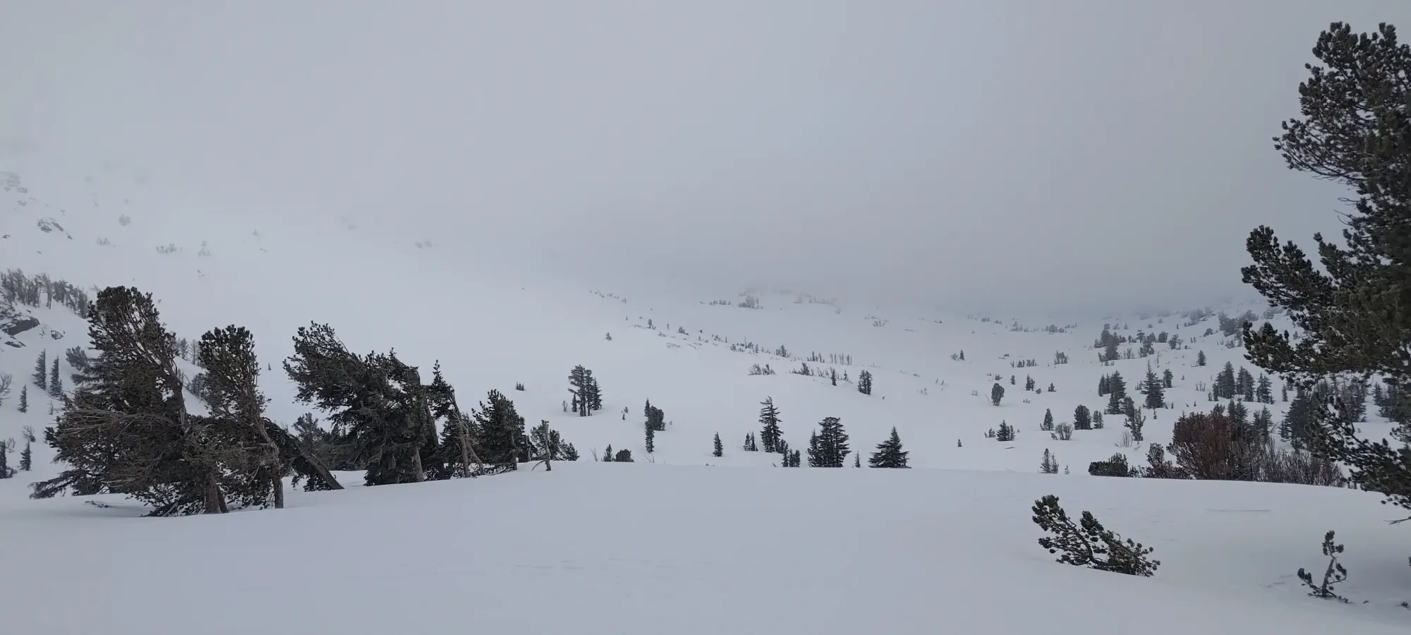
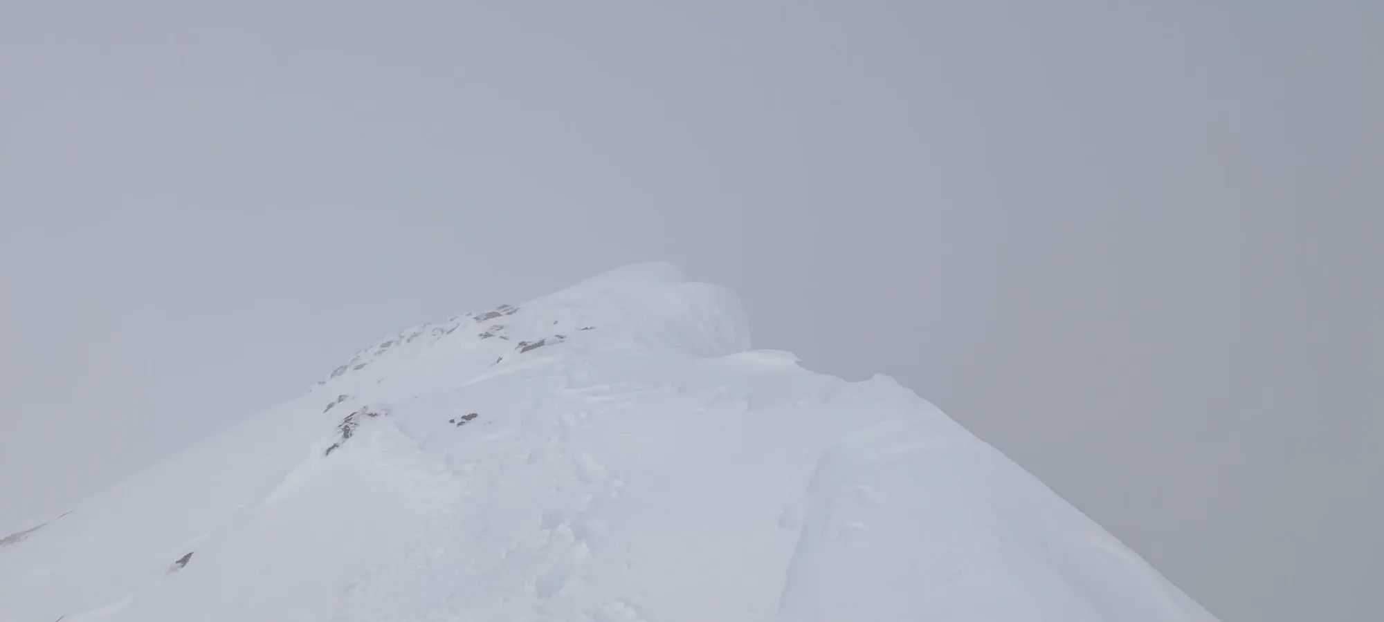
From the far end of the lake, it was about 45 minutes of slogging for my tired self in the breakable crust to get up the gentle valley, gaining a bit over 200m to a spot where there appeared, in the poor visibility, to be a bit of a wide spine coming north off of the summit ridge. Here, on climber's left, there was a drop of at least a foot or two into further snow, which I had no visibility into. On climber's left, there was some exposed rock. Right in-between, though, was enough space to switchback up fairly efficiently, and in the exact direction I needed to go, so that worked out well!
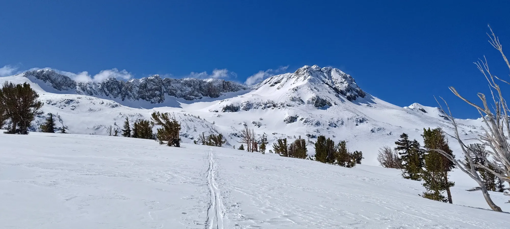
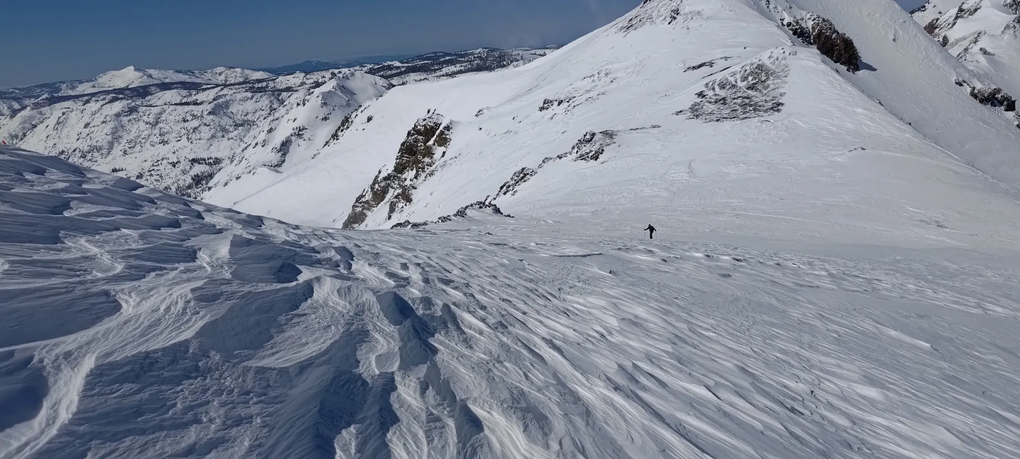
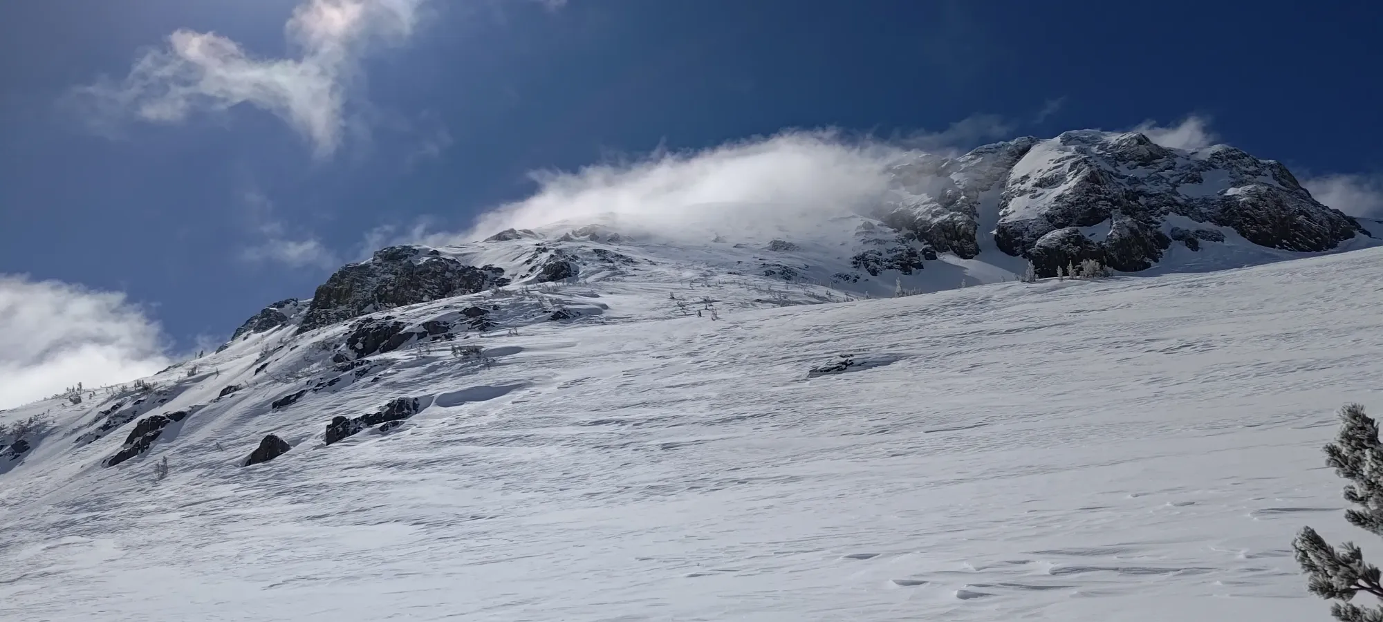
At that point, I was above 2950m, so only 200m (net) to gain to the summit! I was pretty tired already, but knowing I was close kept me moving. I gained up to the base of the summit fairly quickly, where I finally got to see the clouds start to break, and see what I was heading towards! That was exciting.
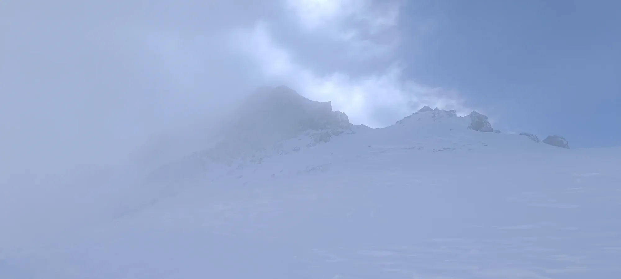
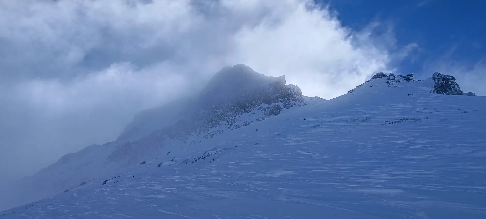
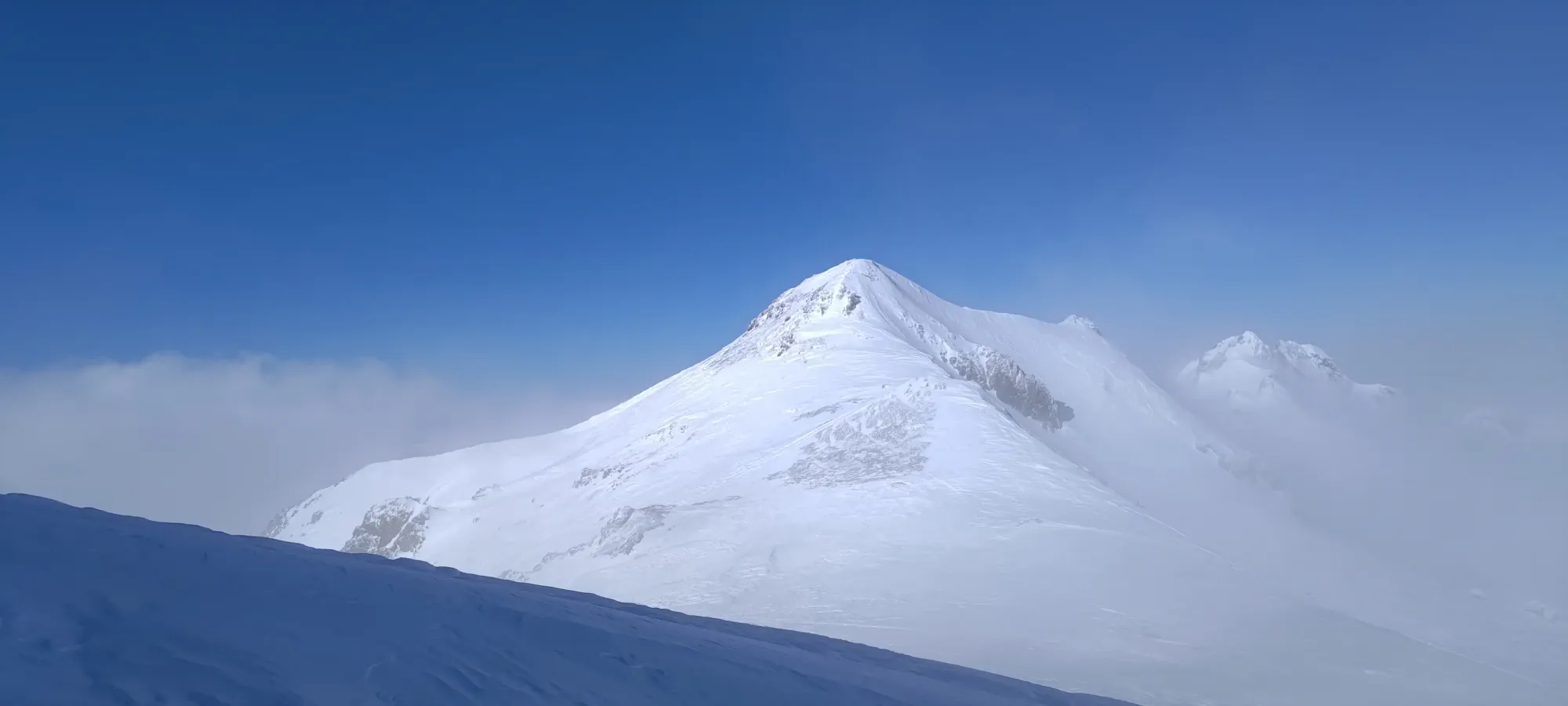
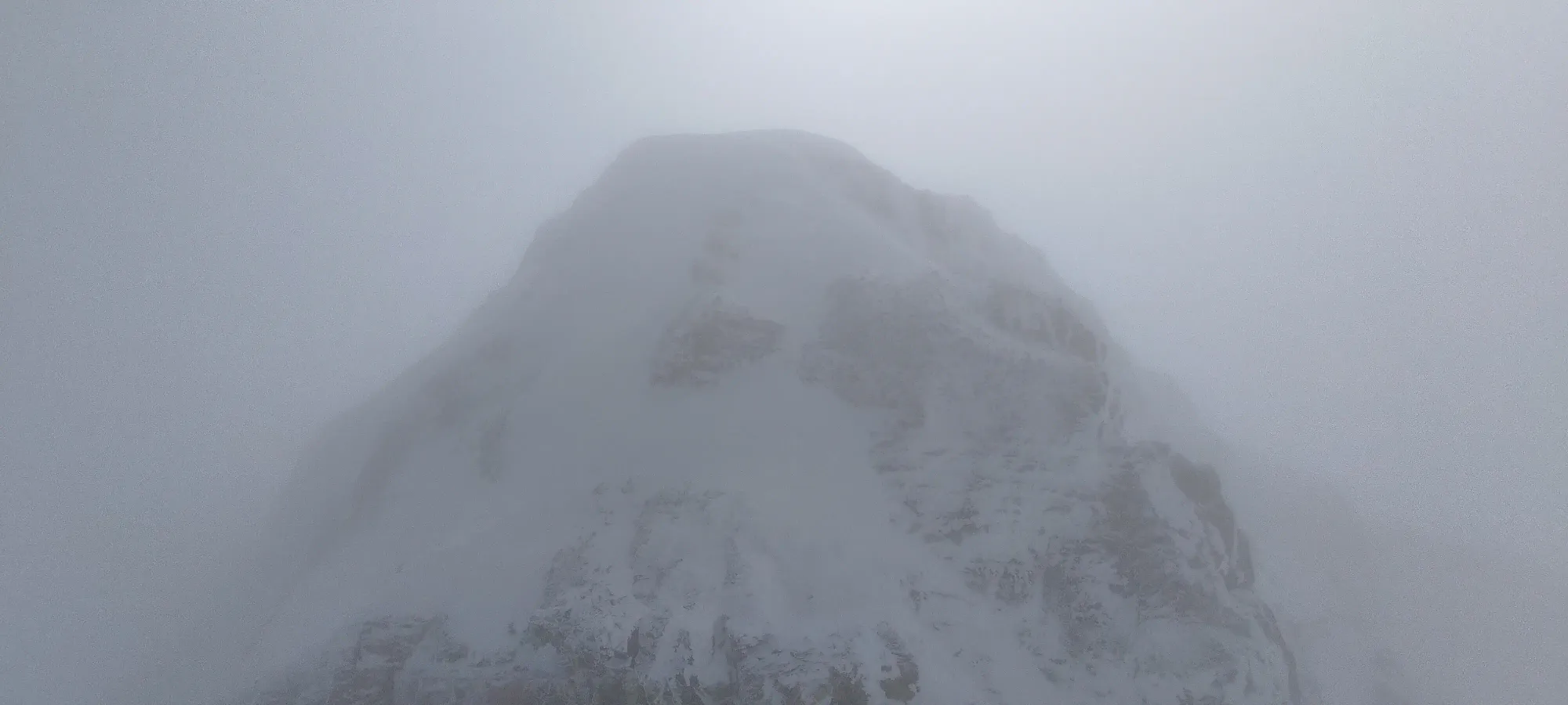
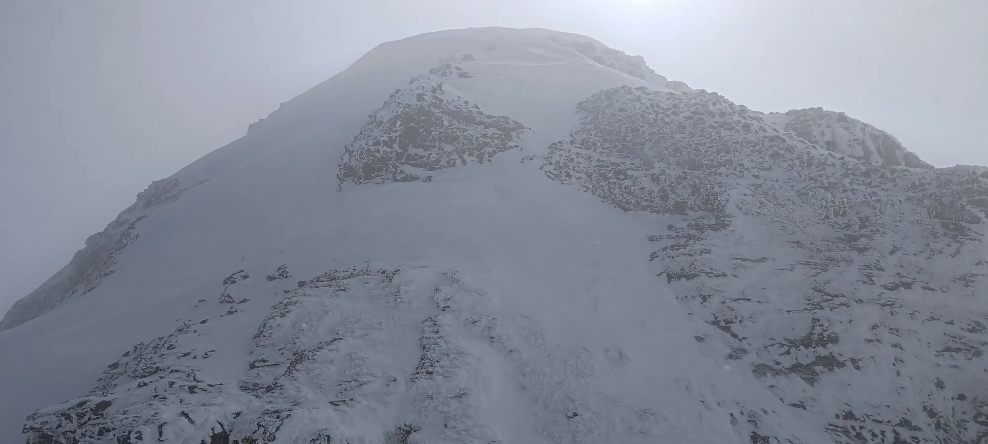
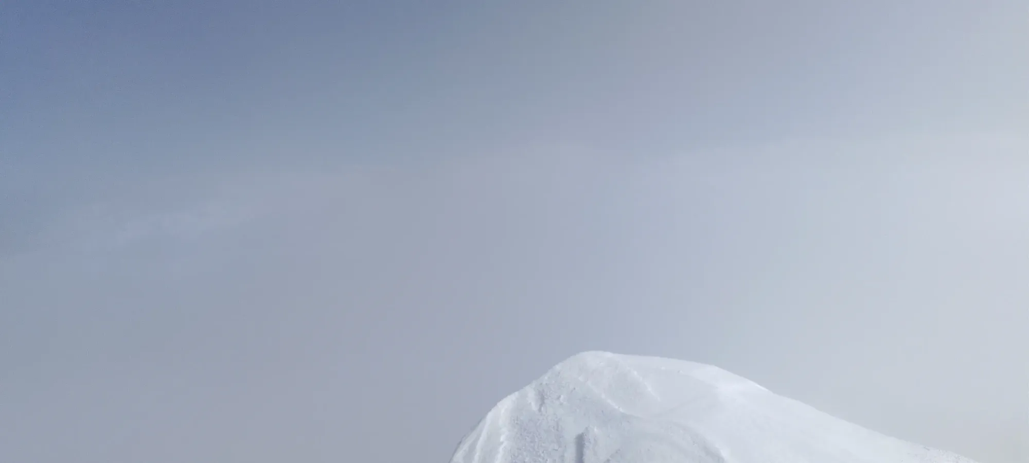
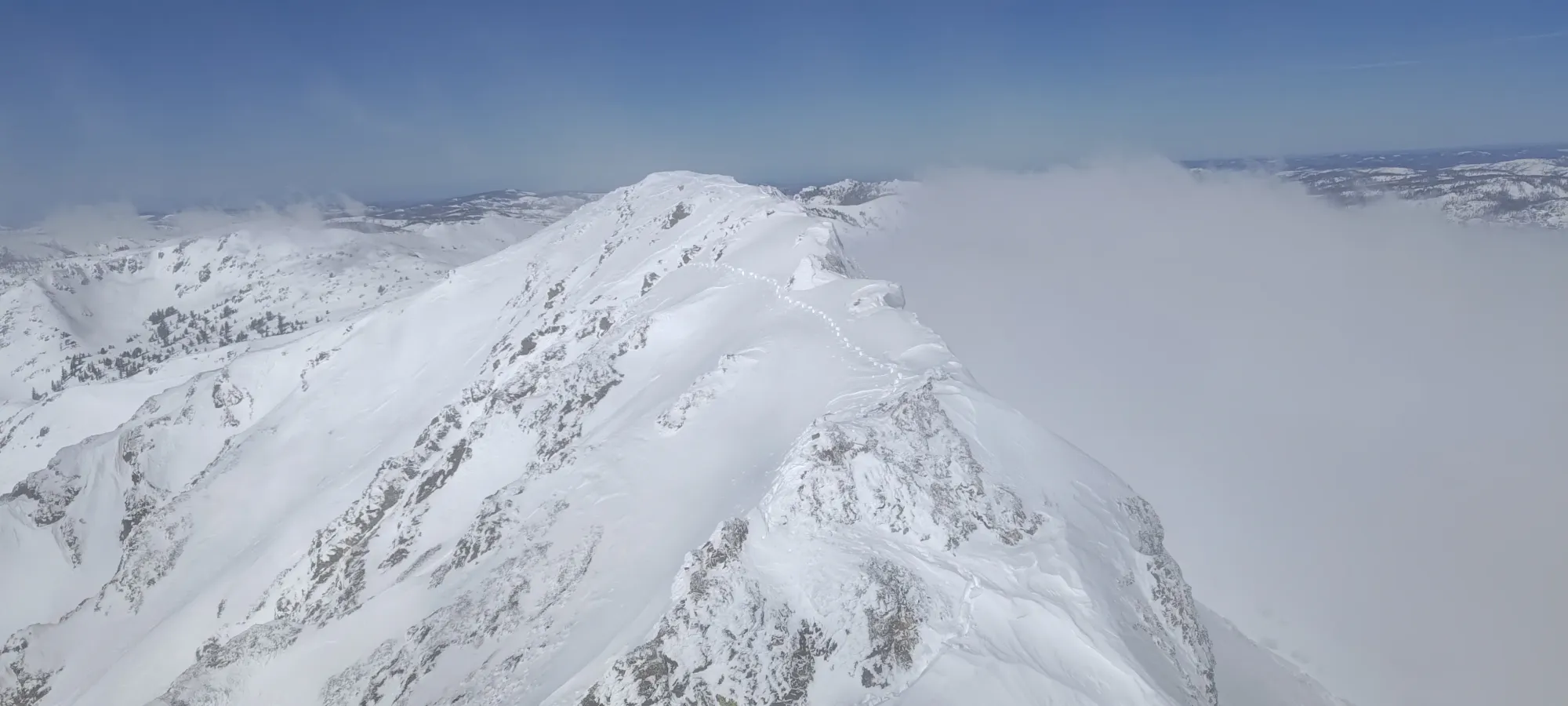
Once I got up the last of the firm, bumpy, wind-affected snow on the main face I was moving on, I tried to traverse under the little ramp on the backside of the peak, but quickly ran into steep, firm snow where my edges were barely holding. Since I didn't bring ski crampons, I decided to backtrack to some flatter ground, stash my skis, and transition. I also happened to have cell service here, and it was around time for my weekly sprint planning meeting, so I joined that and participated as well as spotty mountain signal would allow for 😅. While I got my gear ready, the clouds broke fully, and I got my first unobstructed view of the peak.
Or at least the false summit 🙃

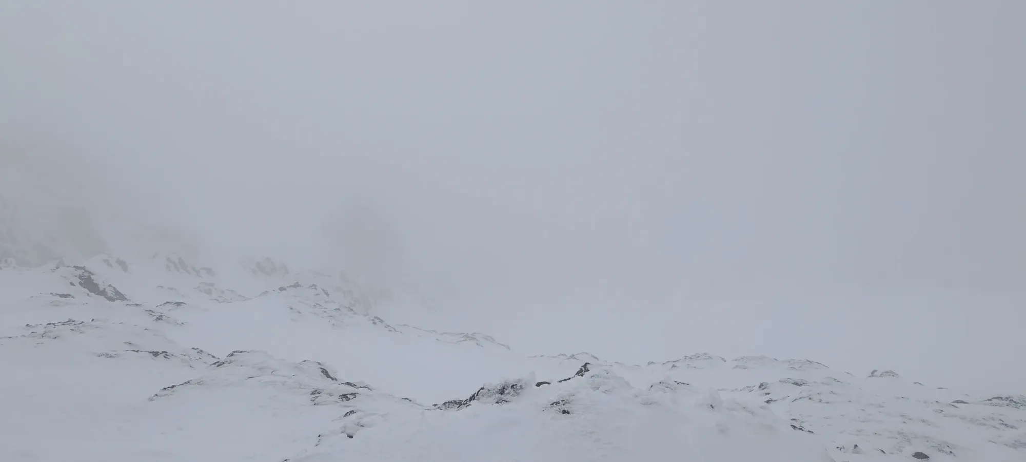
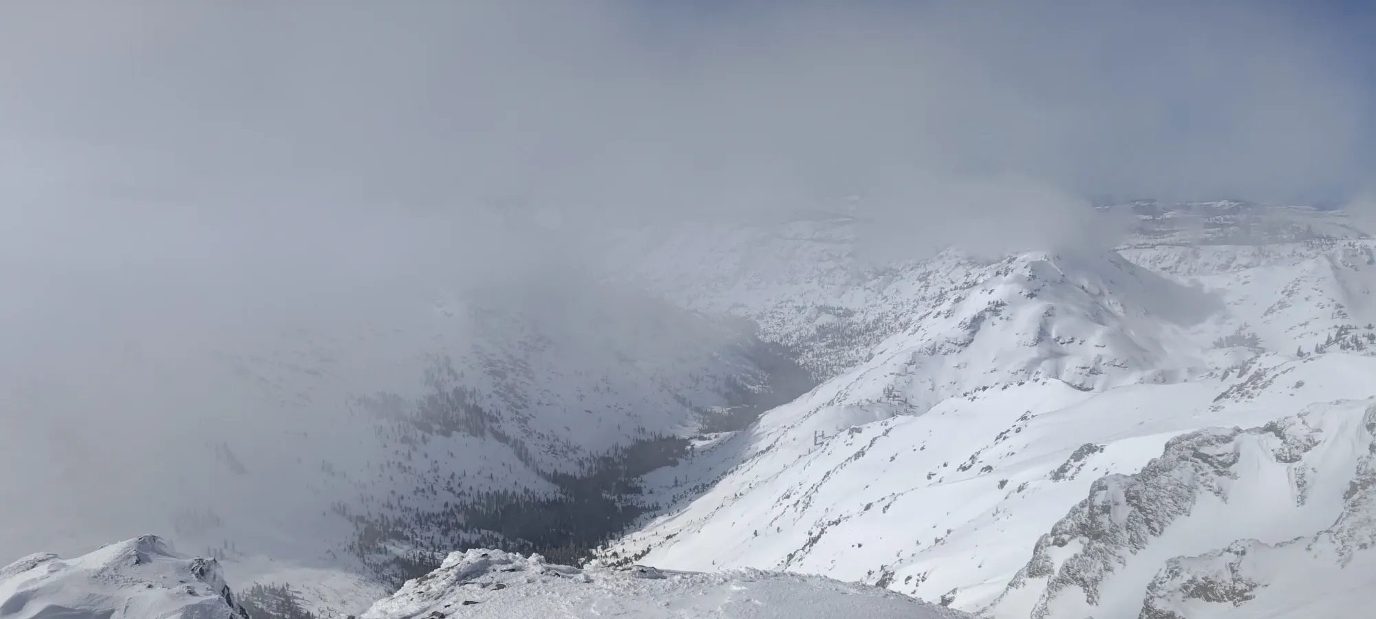
The booting was actually pretty great at first, with just the right snow to get purchase but not posthole. Once I got off the main face and into the more protected chutes, couloirs, and outcroppings, though, the snow got softer and deeper, and the suffer factor increased. The clouds also continued to roll in and scurry away every minute or two, so I was grateful for the glimpses I had that let me plan an effective route up.
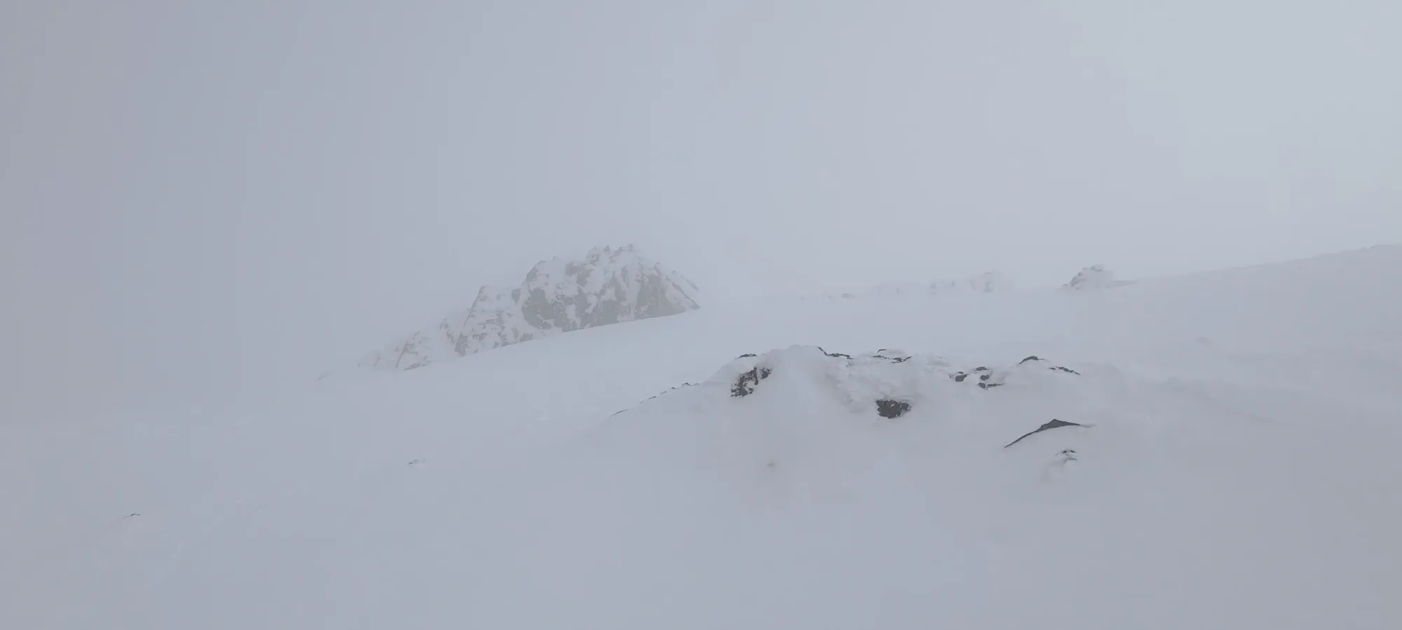
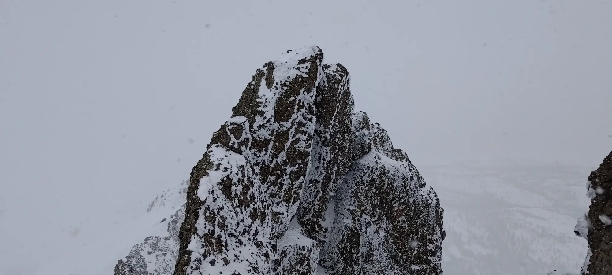
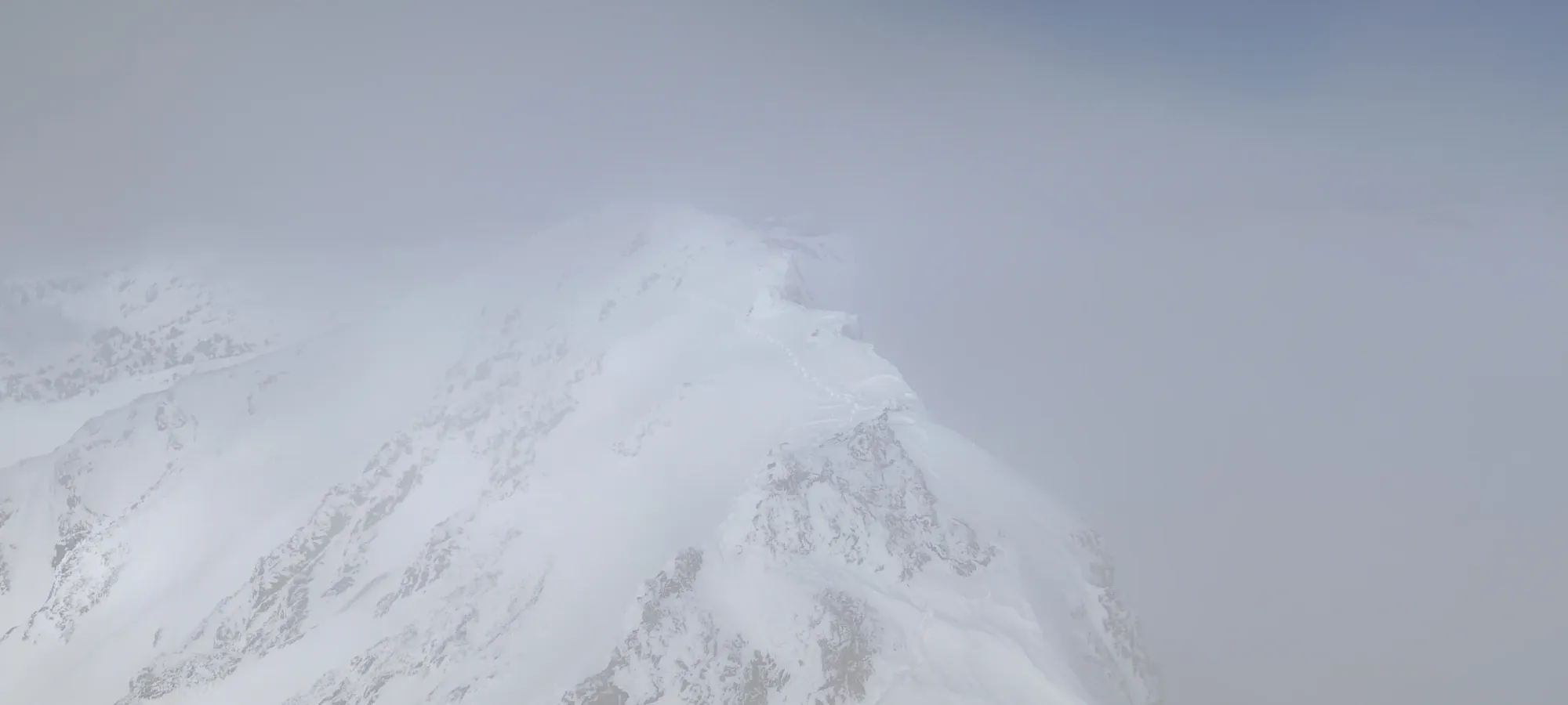
I got onto the summit ridge just in time to give my update in my meeting, figuring that cell service would be best without any rocks above or around to obstruct signal. WRONG! It died right as I got up there, so that plan failed spectacularly. The climb itself took about 15 minutes, and I stopped for a while to try and get my phone to reconnect, and then again to take some photos, thinking I was on the summit like an idiot. Then I checked my GPS and realised that I was, in fact, not on the summit, and that the true summit must just be in the clouds beyond what I could see. Handy to have those around sometimes, I guess.
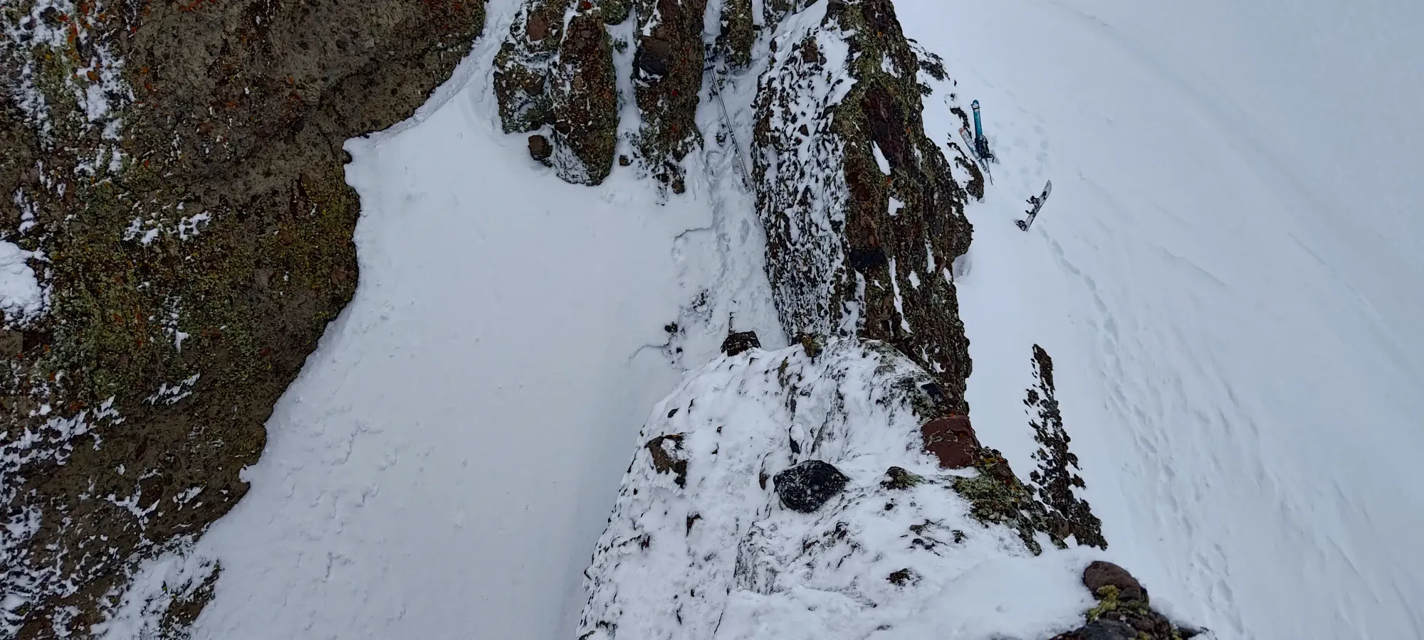
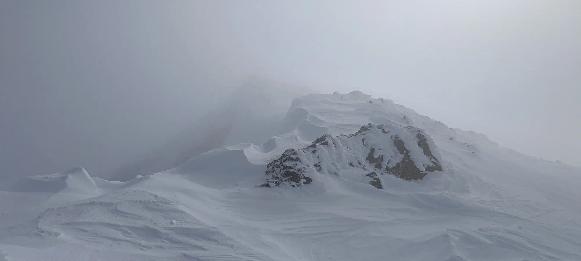
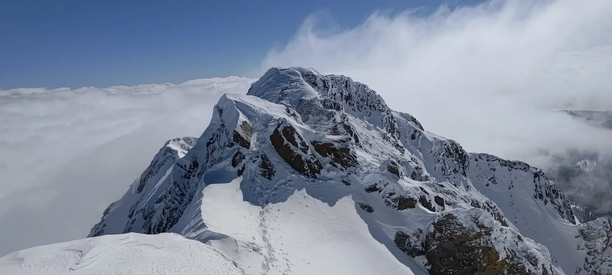
After realising that the summit was still ahead, I pressed on. The initial downclimb from the false summit wasn't too difficult, but there was a small traverse I had to make either up some slabby rocks with thin snow, or around an outcropping above a few feet of exposure. I tried the former, it didn't go so well, so I made the sketchy traverse after a few moments of finagling my foot placement and making a big leap of faith. Past that, it was easy downclimbing all the way to the final saddle before the summit block. It looks like it might drop off severely as you walk over, but there's an easy way down to skier's left once you get close enough.
I got down and found myself staring at that rock ledge pictured above. It was up above my head, with rocks that looked like they'd make for easy summer scrambling, but with ski boots, snow/ice covering rocks, and mittens instead of fingers to crimp things, I was a bit stymied. I tried going right up using my axe like an ice tool to pull up on, but didn't have a hold for my free hand, so I just had to fall back down. I tried to go further to the left, to no avail, as it was worse. Eventually, I cleared enough snow to find a way to shove my weight up enough to get a stable mantle on top of the first ledge, and from there, it was a simple snow climb to the top.
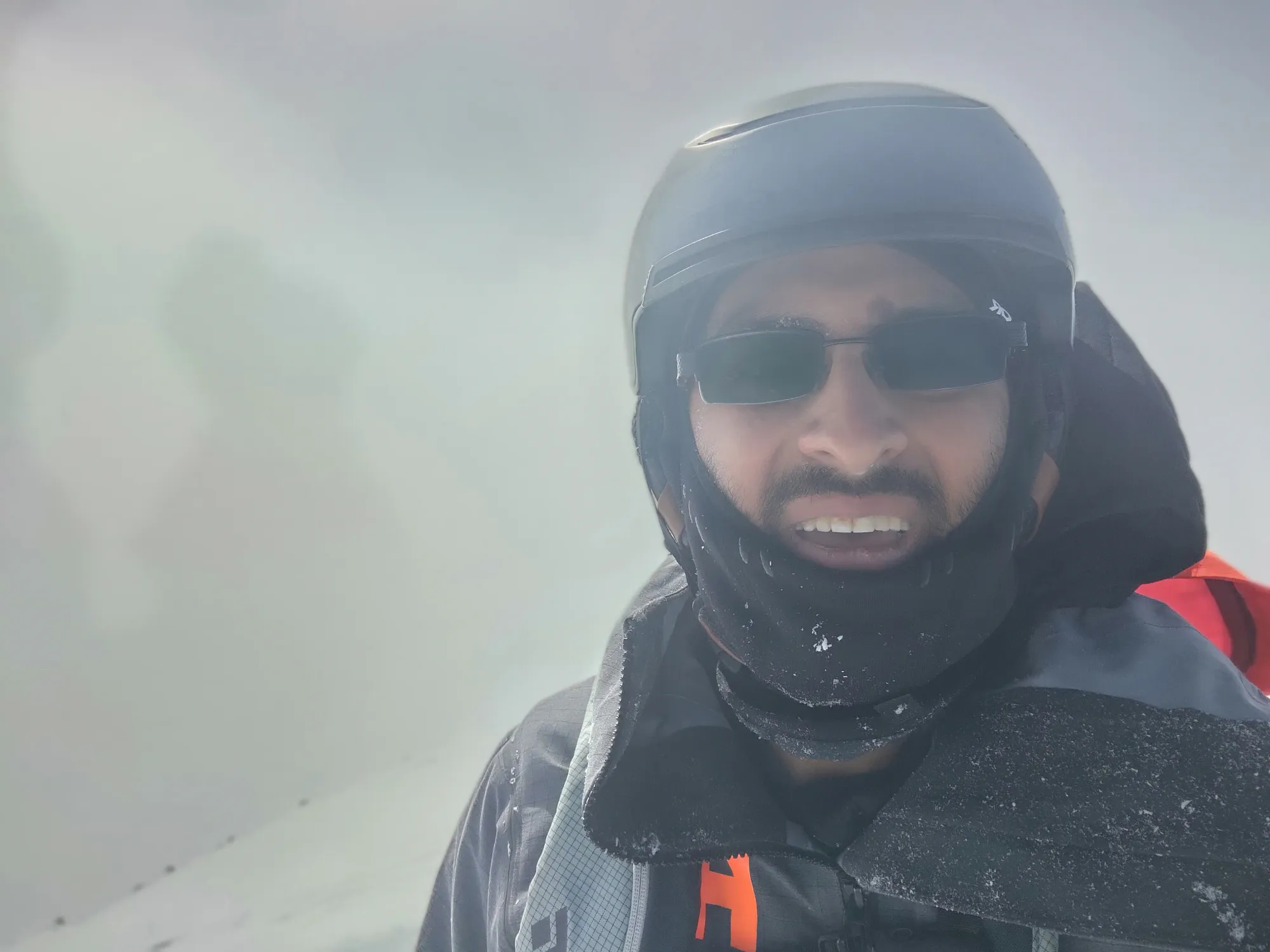
After those few shenanigans, I finally found myself on the summit at about 10am, a bit over 3 hours from when I started, definitely not what I was expecting, but with my extra-tiredness, taking a meeting on the way up, and the scramble being more involved than anticipated, "them's the beans", I guess. It was pretty fun, and the suffering made for a satisfying peak, so no complaints here. Plus, the wind that was forecast to pick up had remained very tolerable, so I could actually enjoy my time on top.
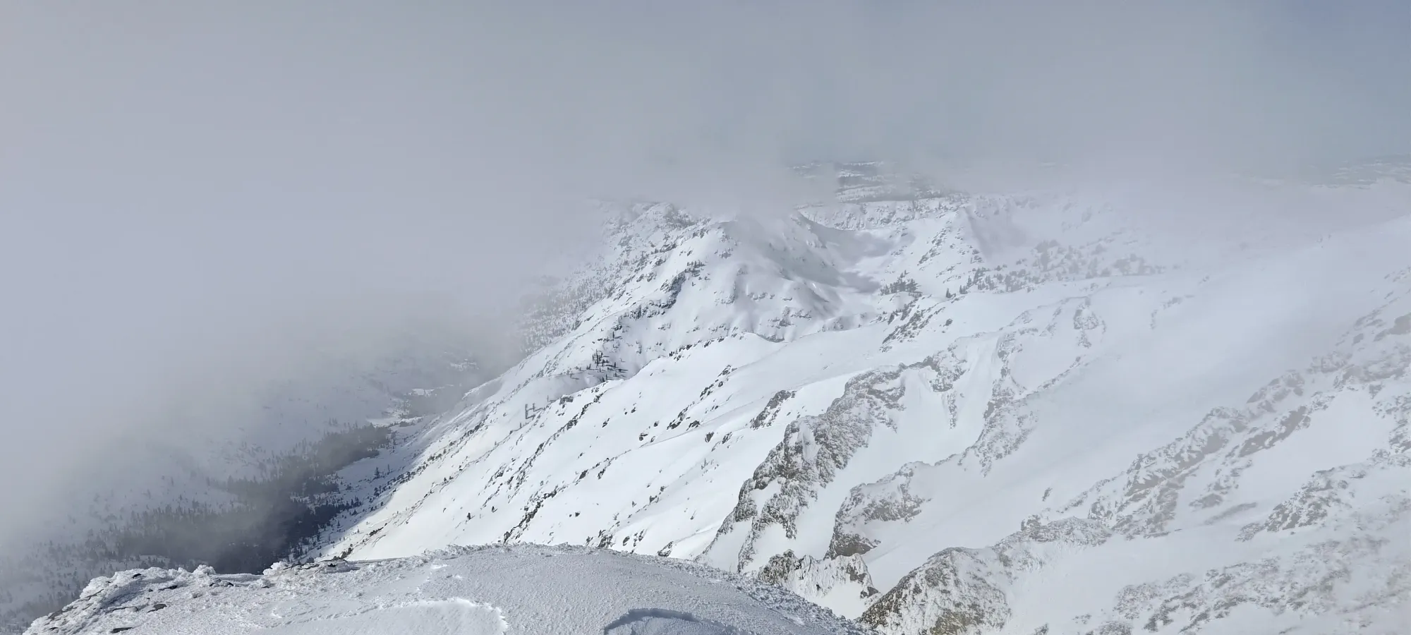
The way back was much easier than the way up, as I had a broken trail and more vis. The ledge was easily just jumped down past into soft snow, and the sketchy traverse below the false summit was also improved upon. I tried to retrace my steps, but both snow and rock were crumbling, so I found my way up and over instead, where I found a ramp with deep enough snow to be able to actually step down securely, which was nicer than the alternative of "hope you control your momentum sliding down a slab, or go for a ride down a chute on the south face".
I had a few sips of water on the false summit, and while I did, I noticed a couple parties following me up! It feels good to have broken trail, at least once it's over with 😅. One party stayed low and skied near the lake, but the other followed me up towards the peak, though they apparently were trying for another ascent route that didn't involve the ridge scramble. Hopefully that worked out for 'em.
Once I got back to my skis, I transitioned at a leisurely pace, exchanged a few words with the guys coming up, and got myself ready to ski some crappy, crusty, warming snow for my way out 😆.
I started skiing down at about 10:40pm, and quickly made my way down the firm, bumpy, wind-affected snow, occasionally hitting some sticky crust as well. I got down to the lake in just a few minutes, where I had to (regrettably) put my skins back on for the long valley walk towards the car.
On the way back, I was going to just go right to the car, but as I gained back up to the skin track, I realised I was only about 150m of elevation gain from a p100 peak, and the distance wasn't even a big deal since it was (mostly) en-route. So, I decided to go for the detour, and forked off to break some more trail up Elephants Back, where this trip report continues.
GPX Track + Map