Elephants Back - April 1 2024
An easy, safe p100 you can easily skin up (or snowshoe, I guess) from Carson Pass with minimal effort. Best done on the way out from Round Top (IMO)

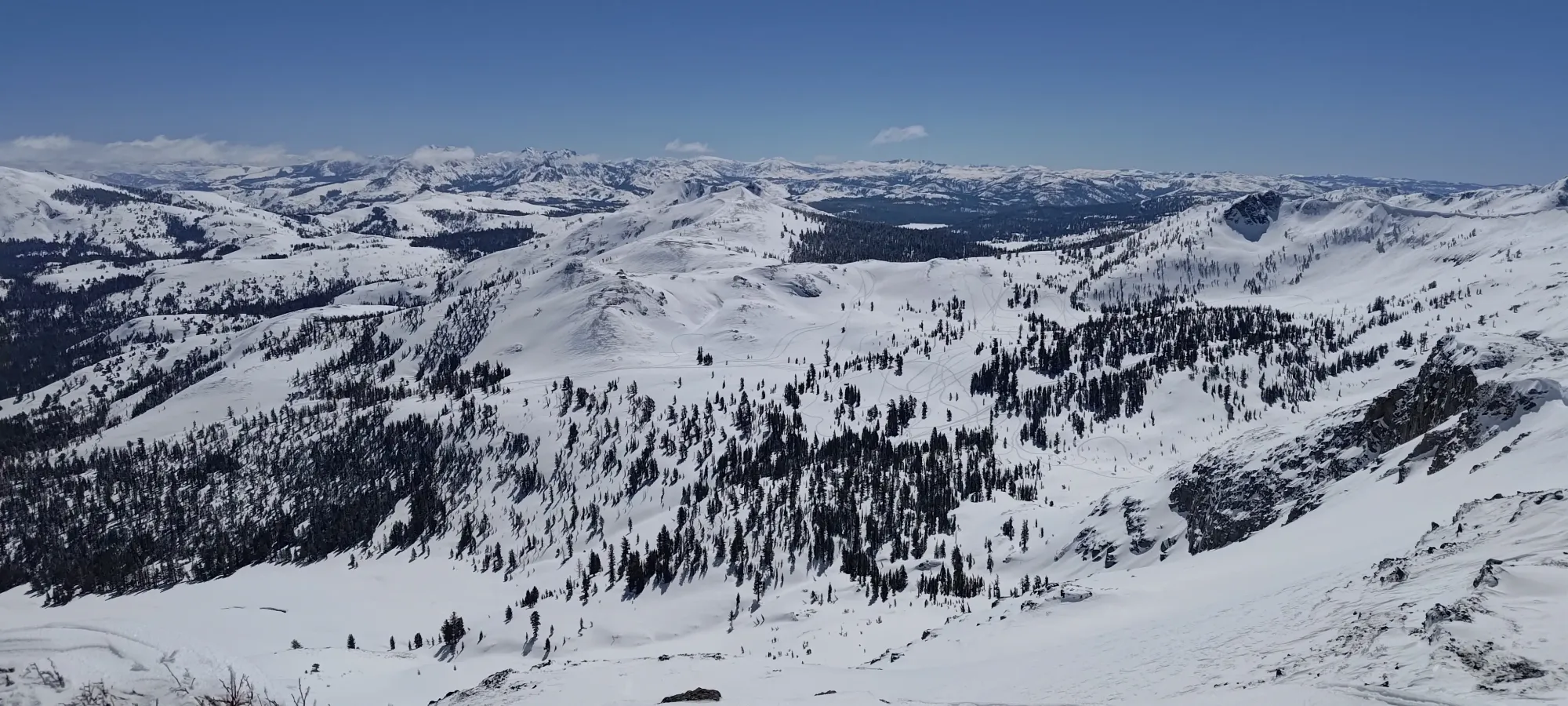
Mokelumne Wilderness Area, Carson Pass, California
2922m
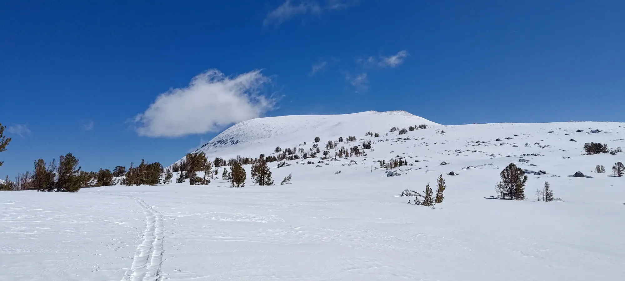
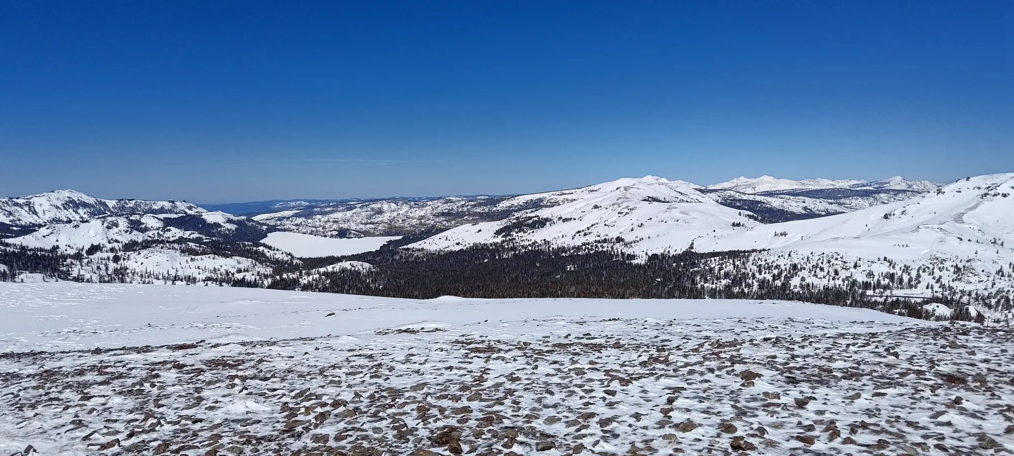
This trip report picks up from that of Round Top, which I'd ascended earlier in the day, and was on the way back from when I decided to divert up for a bonus peak (this one).
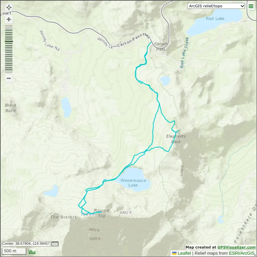
From the high point of the skin track, there's only 150m to gain to summit Elephants Back, so it is overall a pretty small diversion. From where I split off at 2770m elevation, it took 20 minutes to walk up to the south ridge of Elephants Back, not requiring switchbacking at all to get to, one can just walk straight up, as it's just that mellow.
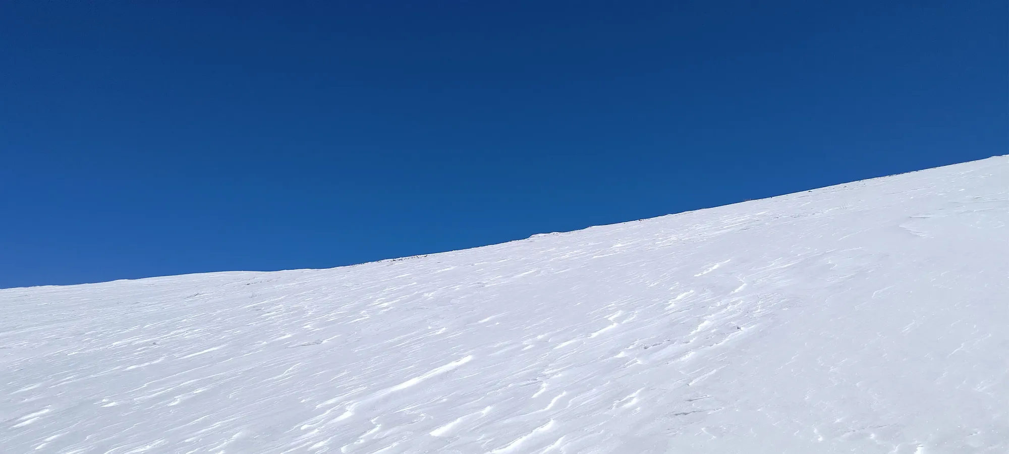
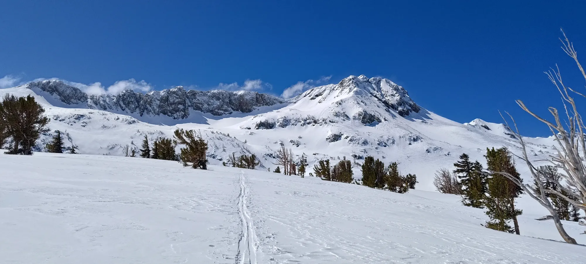
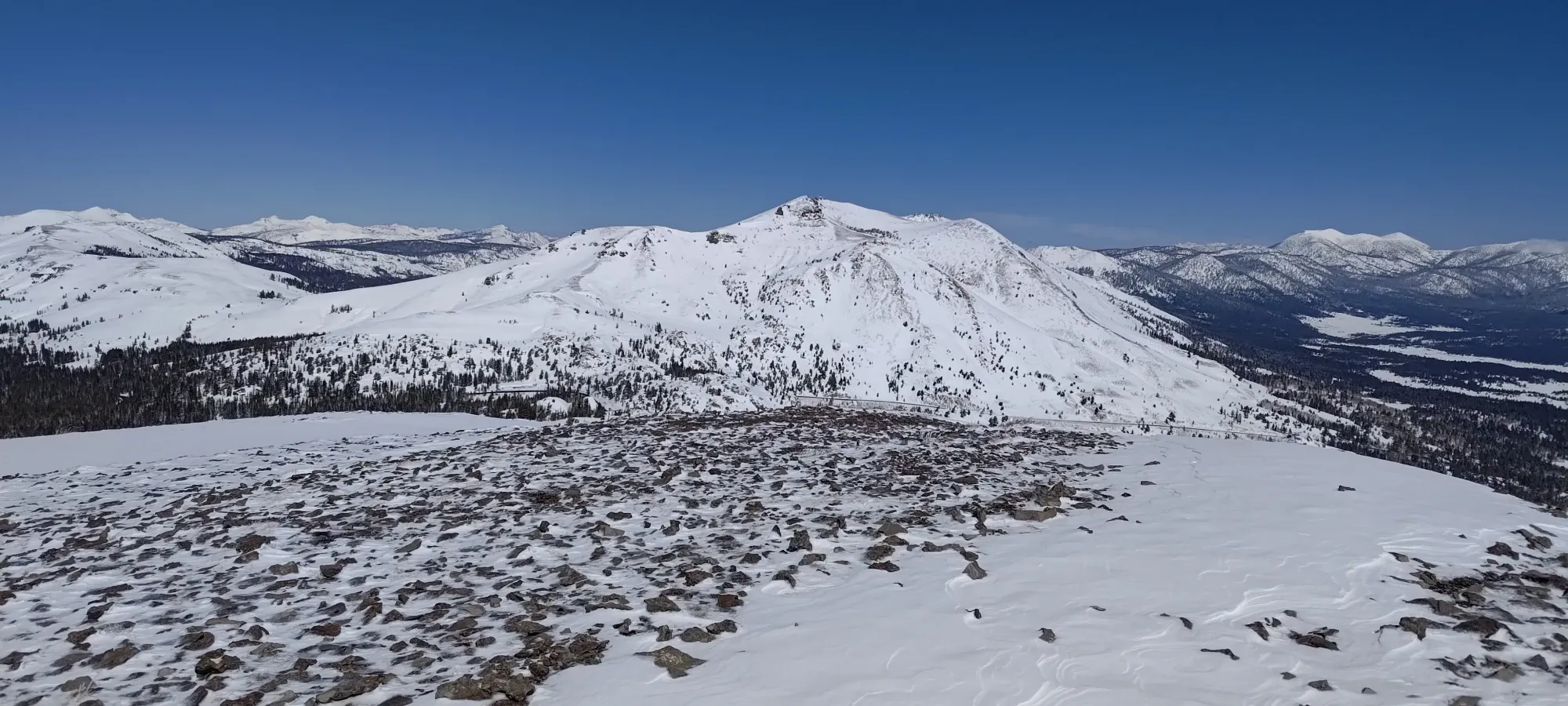
The ridge was surprisingly long, and it took 500m to gain the last 60m of elevation, so not quite as mellow as it looked, but still fairly easy. As I got closer to the top, the snow coverage got progressively worse, at one point requiring me to skin over a few rocks, and right at the end, actually forcing me to click out of my skis to walk the last 20 steps to the summit. So close to being fully skinnable...
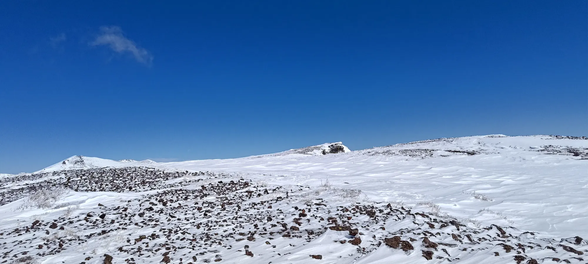
The ascent from where I forked off the skin track took only 30 minutes, so I'd say that's a worthwhile detour, considering it did also cut a good bit of distance off of the return walk anyways, and it gets you an extra peak!
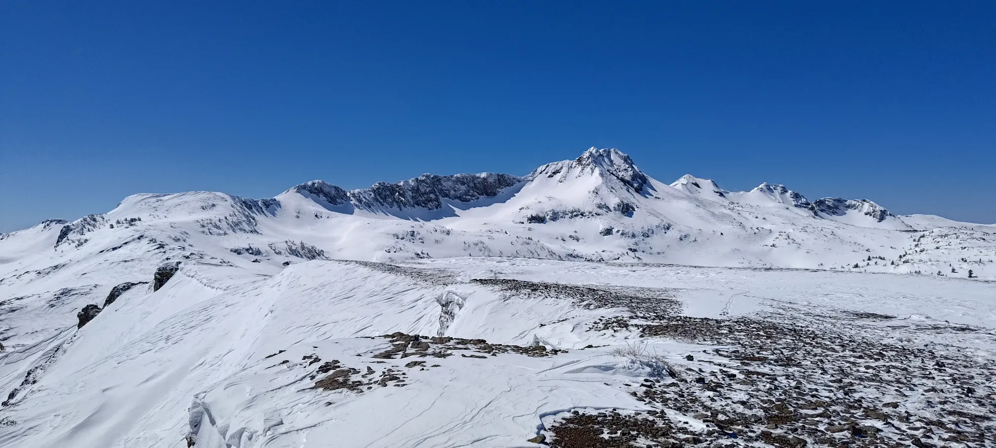
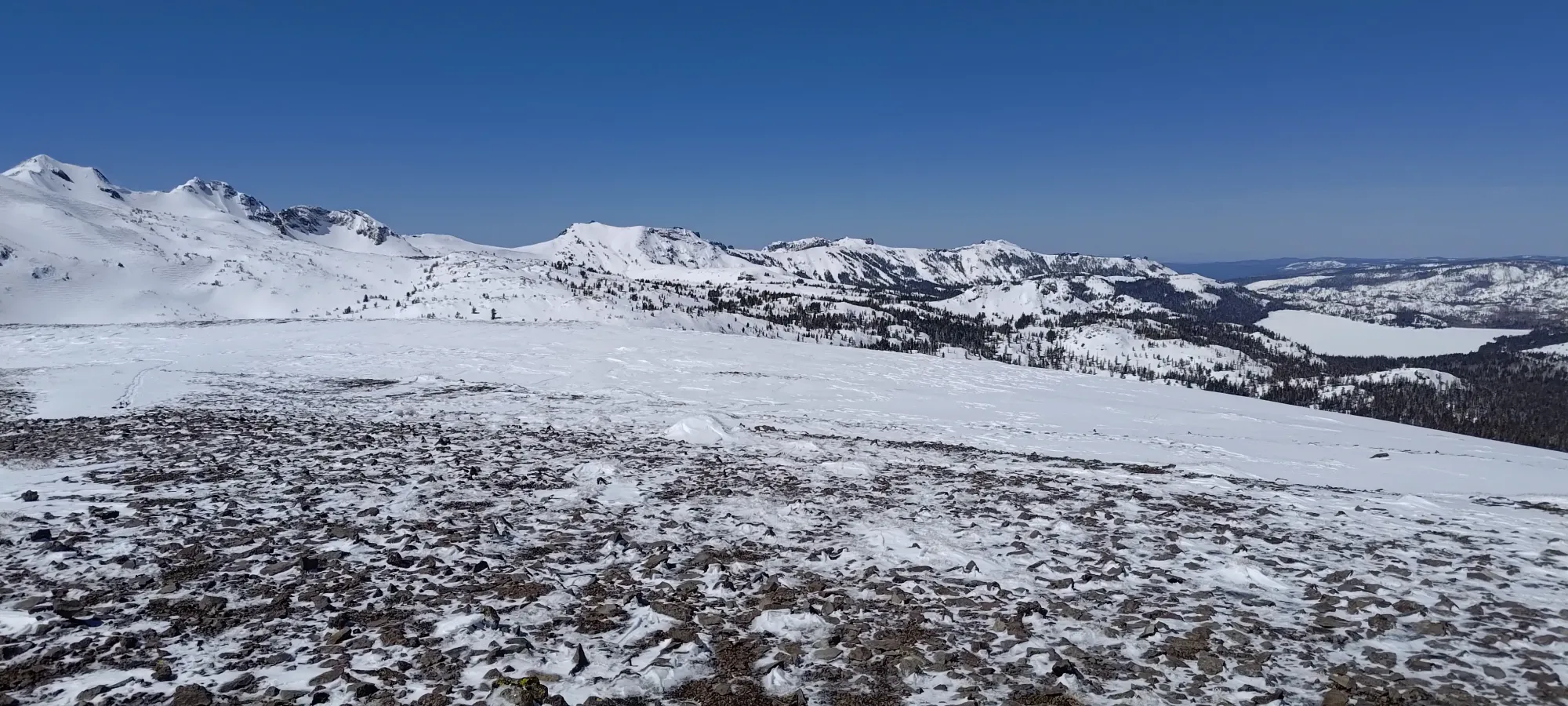
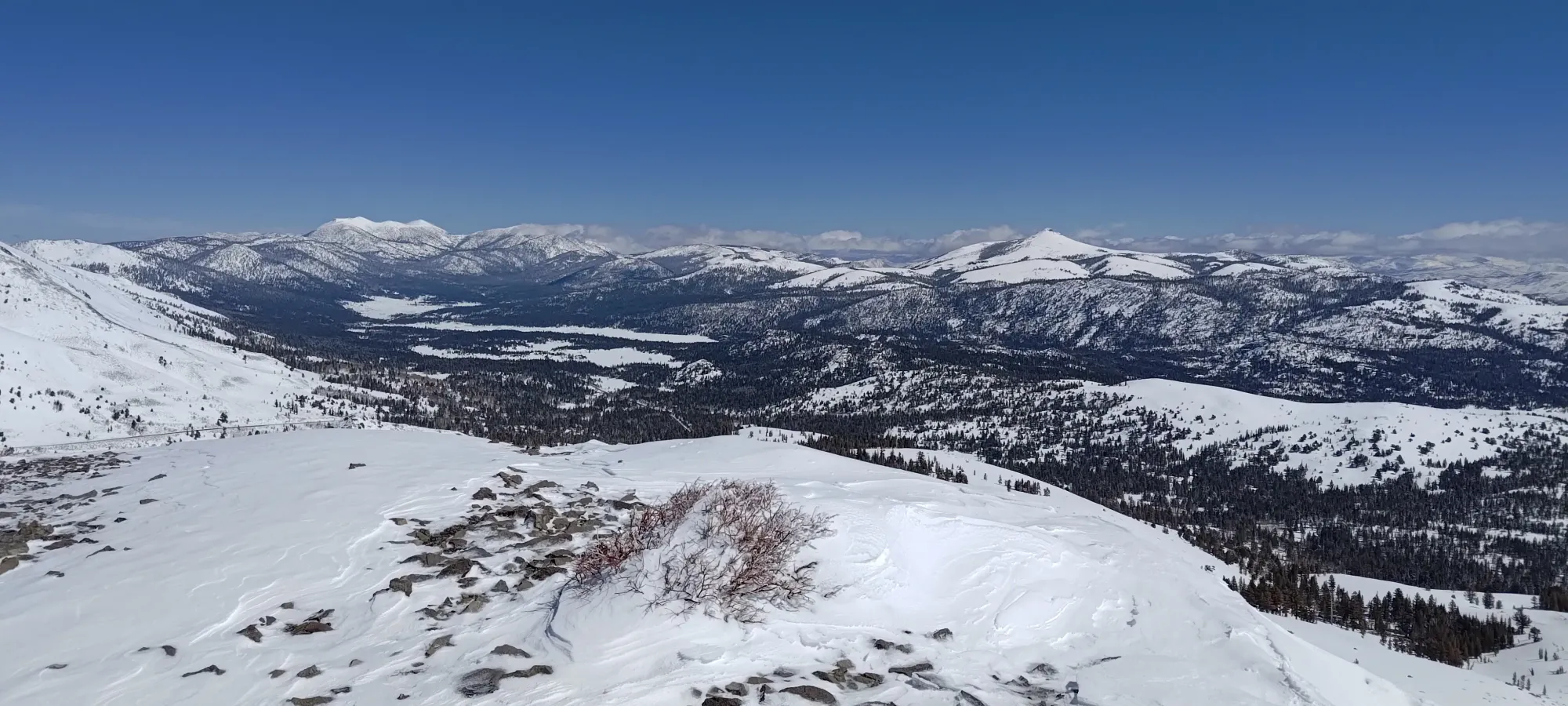
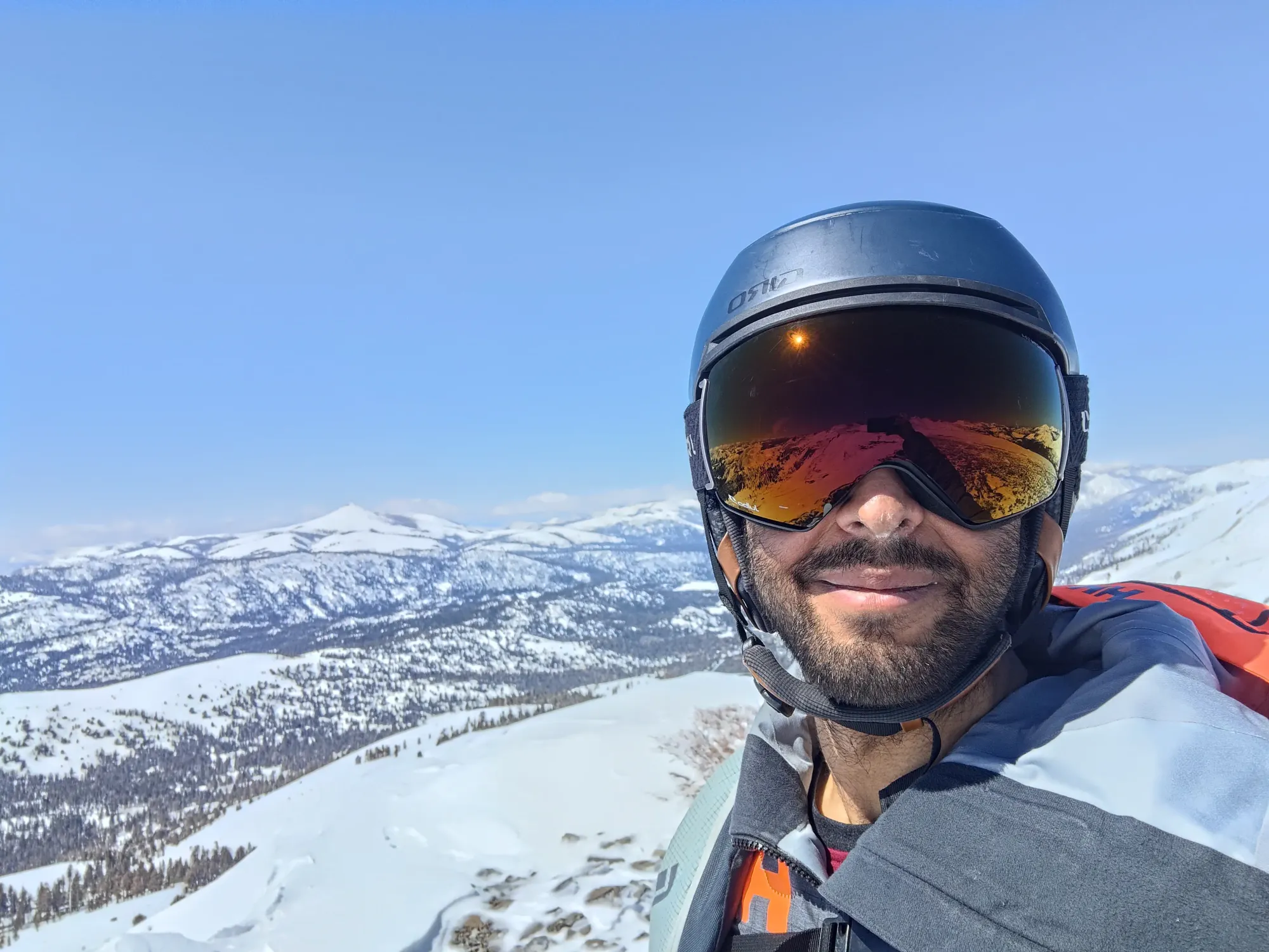
After taking my summit pictures, I walked back to my skis, then wandered down past the rock bands with skins on until I found myself on the NW face of the mountain. I was hoping going this way would allow me to cut off some distance and avoid needing to put skins on to get across the large flats, and instead deposit me right into the forest.
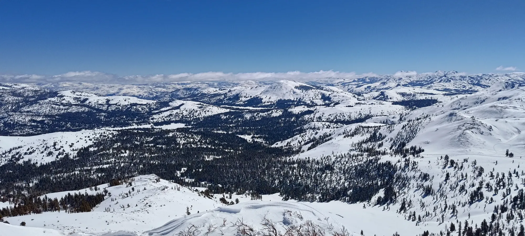
I transitioned and put my plan into action, which was... a mixed bag. The theory was quite sound, as the grade+bearing lined up with my goals. The execution was a bit different, though, as this part of the face was even thinner, and I hit quite a few sharks on the way down. I think I avoided core shots once again, but damn do my bases look a lot more than a season old now 😅. Hey Salomon, you wanna sponsor some random dude from Squamish with like 10 Instagram followers? I could use some more skis 😆.
I kept my speed into the forest as planned, at least, and got to about the wilderness boundary near 2600m, where things flattened out, and I started having to shuffle up small hills, and even bootpack a couple times to get out. I think it was still the right call vs putting skins back on, since the total distance was only about 500m, and that's not a lot of distance to walk, but transitioning takes time (at least for me, who'd packed my skins away already). The entire descent from where I ripped skins just below the summit, to the car, took under 30 minutes, so I'm pretty happy with that.
Overall, this was quite a fun trip! I got my suffering in after my fun inbounds for the weekend, got a p600 (which had some fun scrambling to boot), a bonus p100 to help pad the stats, and got to do at least 1 tour in Tahoe before having to leave Tuesday. Hopefully I can get some more peaks in the states before I have to find my way home on the weekend, stay tuned...
GPX Track + Map