Mount Tantalus (Oahu) - January 18 2024
A short, easy hike not too far from Honolulu, with some pretty good views:effort. Also great to link up with some bigger peaks further into the north, as I did


Koolau Range, Oahu, Hawaii
614m
Oahu was the last leg of my vacation to Hawaii, though only for a couple nights, so I knew I had limited time to get peaks bagged, especially if I didn't want to be a totally absent family member and just be gone the whole time. So, after we arrived in the late morning and got checked-in to our hotel near Waikiki, I checked and figured I had time to get out before dinner without taking too much "otherwise valuable time", so I took the rental car and snuck out towards this peak. While it isn't very impressive itself, it was but the first stop on the way to the more impressive p600, Konahuanui.
The first step was getting to the trailhead, which was complicated by some construction. One could, I believe, still access the Tantalus trailhead by going around the east side of the road, but since I wanted to be able to exit my trip using the Kalawahine trail, I went up the closed side, and ended up parking shortly before the trailhead for Kalawahine where the closure was.
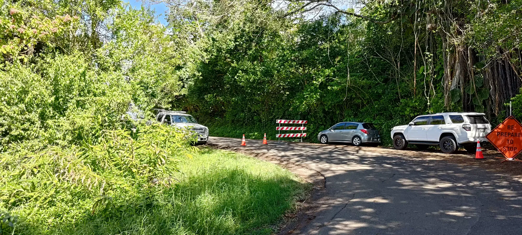
I originally had wanted to take the "Telephone Road" (as per Google) up, but that was crossed with a chain and signed to indicate it was a private driveway vs a road, so instead I just walked up the Tantalus Road until I got to the trailhead for Tantalus itself, and took that trail. The walking up to the road took about 12 minutes, but was a nice warm-up, and the construction crew was nice enough to ignore my presence in their work site, so all in all, I can't complain.
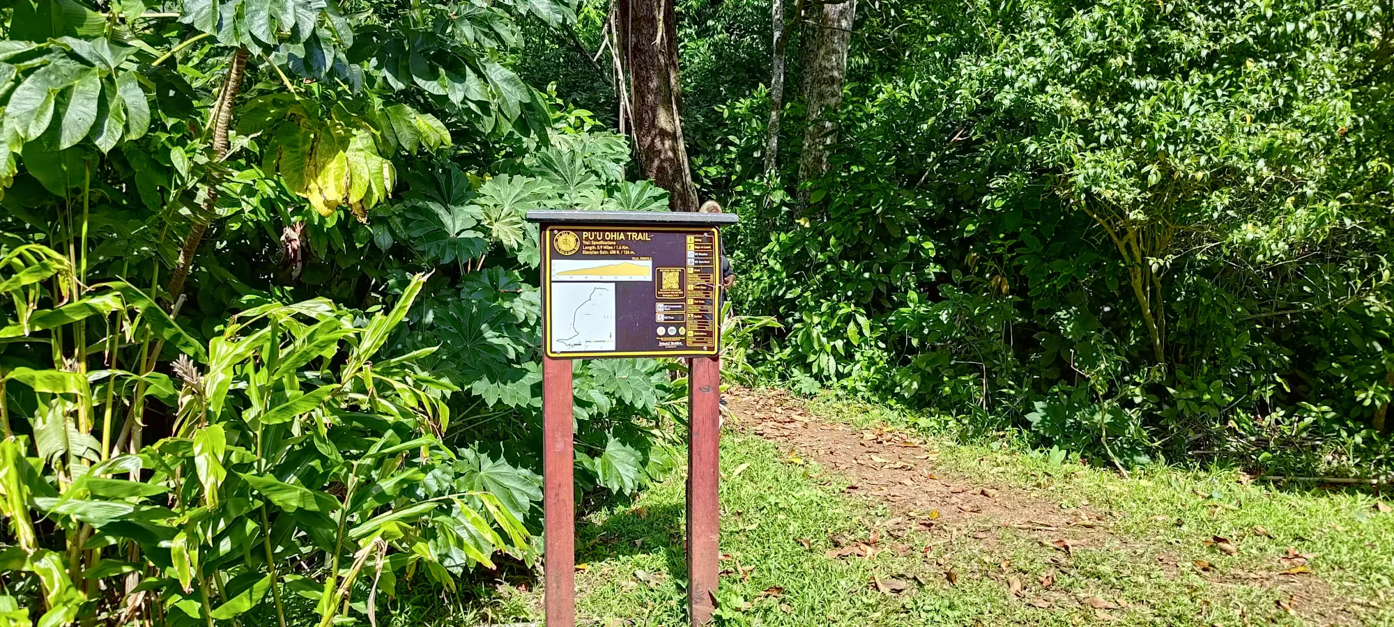
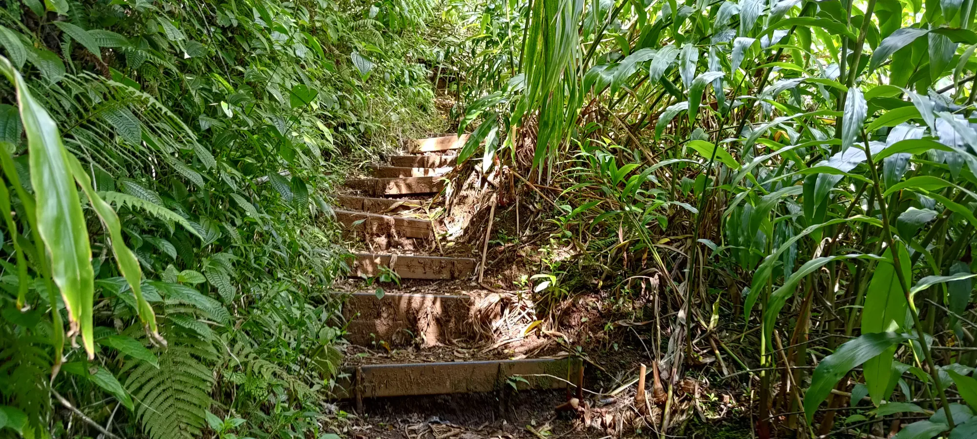
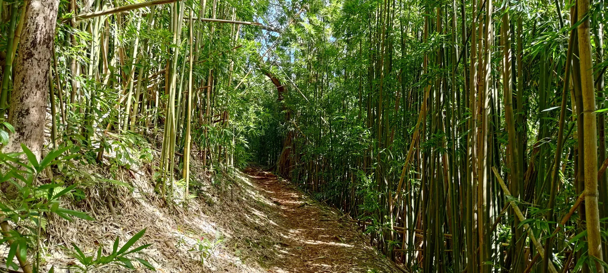
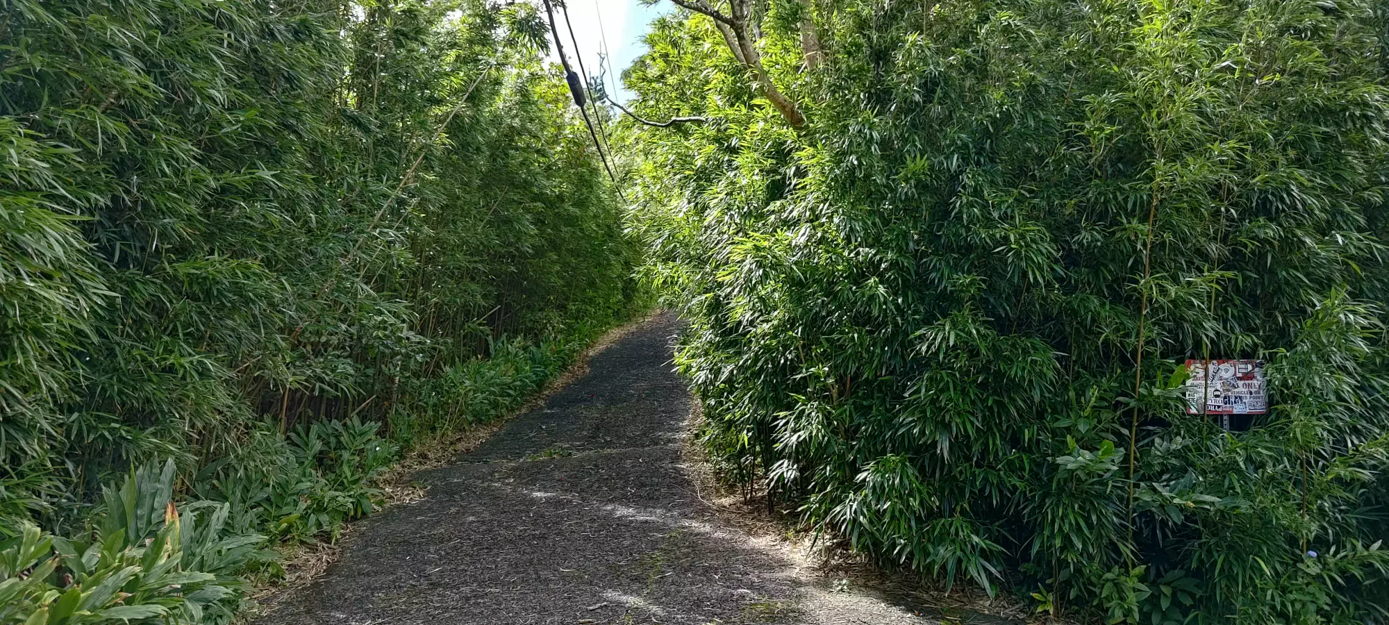
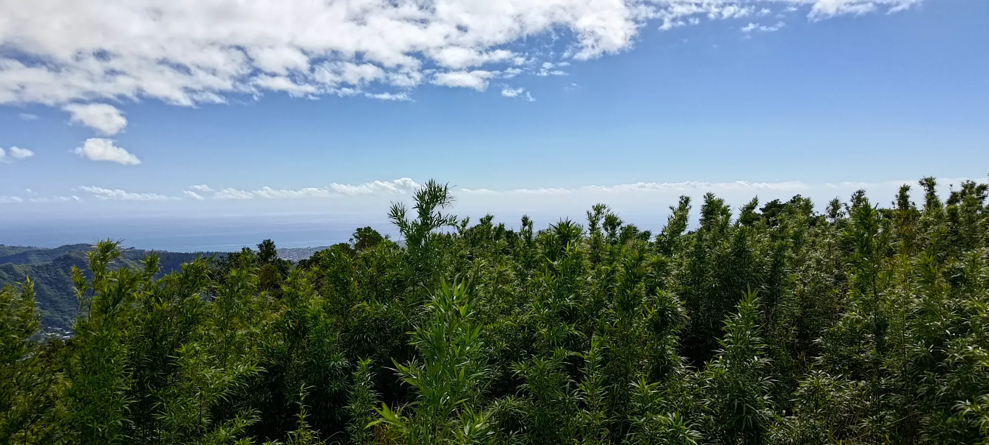
The trail starts off with a couple switchbacks, and actually looked like a fairly standard forested trail, even from my SWBC perspective. There were even some steep stair sections reminiscent of popular North Shore trails near Vancouver. This continued until I hit the big switchback that turns you to the east, where the trail turned into a more casual walk up, with tall bamboo (I think) trees on each side, which was a nice view as forests go.
20 minutes in (from the car), I found myself at the spot where the "Telephone Road" intersects with the trail I took up, and seemingly continued up towards the summit. So, after confirming which road to take (shockingly, the one that goes uphill), I set off towards the first peak of the day.
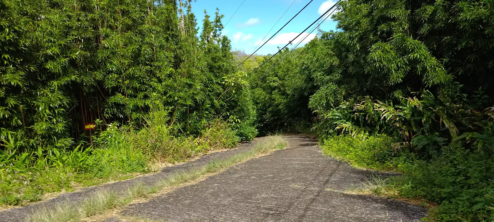
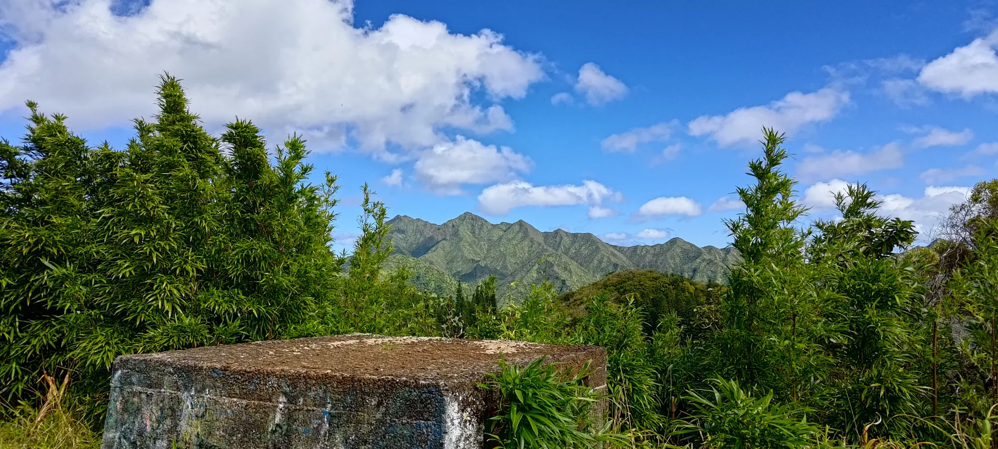
The walk to the summit from this point is pretty simple, just walk up the road, find the trail between the two fenced-off towers, and within a couple minutes you're on top. The summit seemed to be a broad, forested plateau, but someone placed a concrete block in the middle which, when climbed, allowed you to get some good views of the surroundings. I took a few photos, then continued on, as I still had loftier goals to achieve for the day.
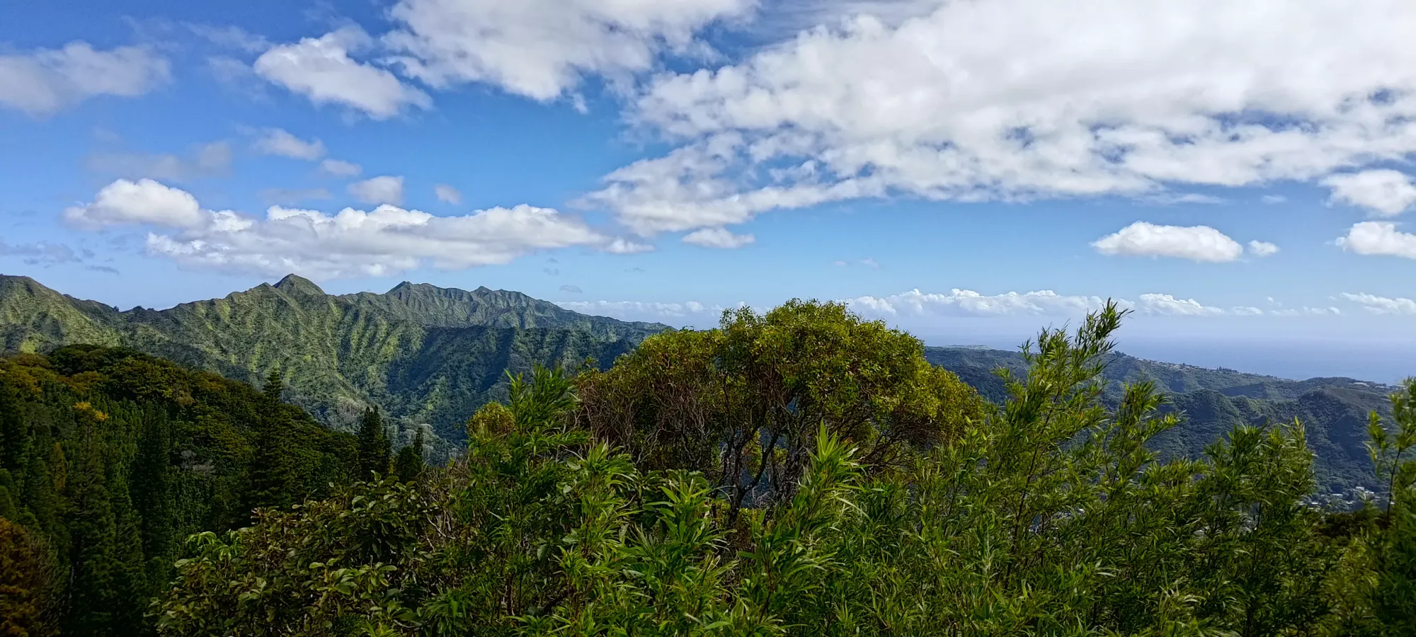

While I linked this up with Konahuanui (and some sub-peaks of it), this is itself a great peak to take the family on, as it's accessible, short, and has good views all by itself. Plus, it does have over 100m of prominence, so you can count it as a summit without feeling too bad about it 😅.
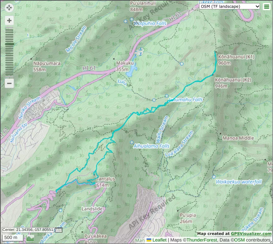
GPX Track + Map