Mount Hanover - October 13 2024
The second-highest peak behind Brunswick in the Howe Sound Crest area, this makes for a pretty involved scramble, though the long approach may deter some. I recommend combining it with some others along the crest for added value!
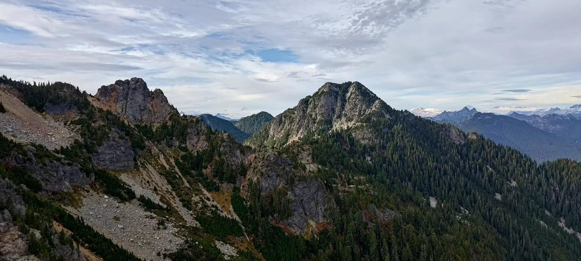
North Vancouver Area, Lions Bay, BC
1748m
With the learnings from the last couple weekends of hiking I'd done, I thought I had more or less figured out how my new medication's side effects were working, and how best to mitigate them. So, to that end, I once again planned myself a single-day outing (in case the pain got worse in the days following), then planned a fairly long one to try and get some good value out of it (can't be falling too far behind my goals for the year, after all), with a good bailout plan if necessary. In this case, due to snow starting to fall at higher elevations, the convenient timing of the Thanksgiving weekend, and my general desire to get peaks in this area knocked off, that meant it was time to tackle the upper sections of the Howe Sound Crest Trail once again.
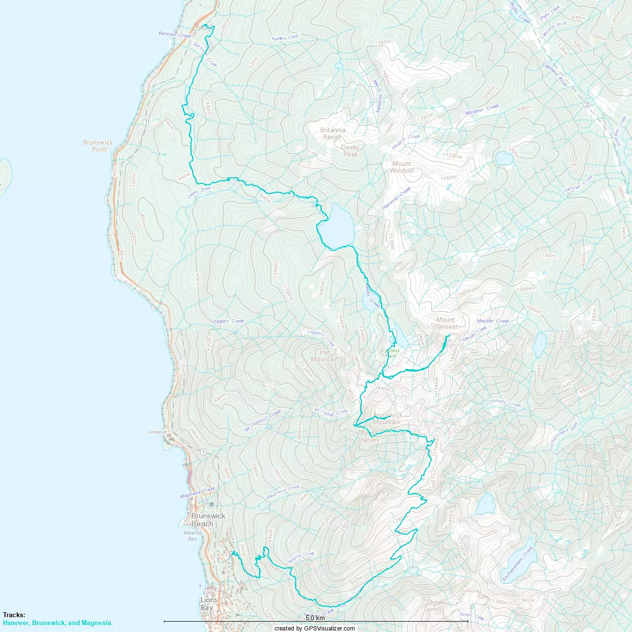
I saw once again because back in 2022, I did a big traverse from Mount Strachan to Mount Harvey, ticking off most everything in-between. I did have to return for the more out-of-the-way Enchantment Peak in 2023, some of the stuff closer to Deeks Lake seems a bit more out-of-the-way to add to a single-day traverse, so they'll need separate trips as well (already have Deeks and Windsor, at least). The biggest goals for me on this outing were Hanover and Brunswick, for sure, as they're more scrambly than just hikes, the former being out-of-the-way and a big scramble, and the latter being a p1000, which just matters to me because math nerd. The second-biggest motivator, though, is my goal of getting all the peaks near Lions Bay without paying for parking! That whole neighbourhood seems to actively be pushing hikers away, with high parking fees, gleeful advertising about their strict enforcement, and forced use of esoteric apps just to pay for it, so I resolved to not support that. In this case, that meant starting in Porteau Cove, traversing through to Lions Bay, getting the peaks I needed closest to it, and getting picked up by my dad at the end for a ride back to my car (and in this case, some Thanksgiving dinner thereafter).
So, with all that preamble out of the way, I spent my Saturday mostly trying to catch up on sleep, and after a bunch of intermittent napping, I finally decided to get moving a bit after 3am, and hit the trail at 3:40am from the Porteau Cove parking lot.
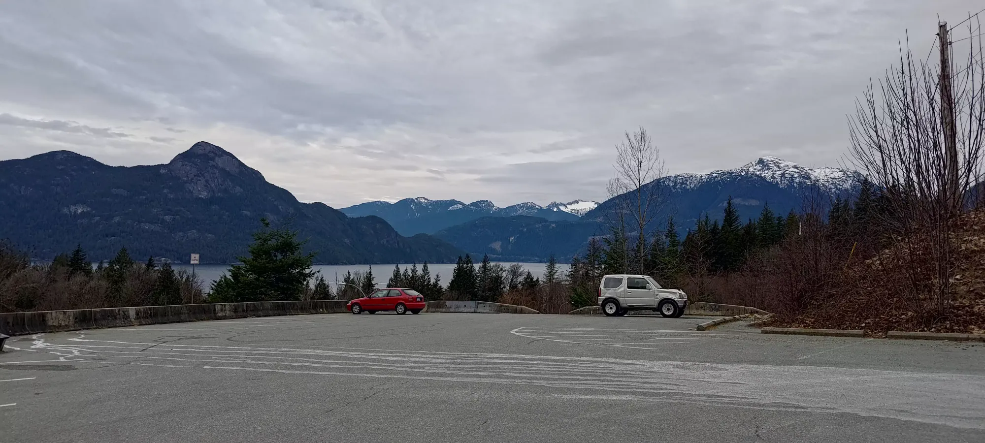
As part of my anti-symptom strategy with respect to having my leg seize up, I forced myself to take a slow, measured pace, even at the start, when I'd normally get moving fairly quickly and try to work up a sweat while I was in a high-energy state. So, even though the first 4km or so are literally just walking on an old forest road, I took about 70 minutes to hike that same distance. Shortly thereafter, I took about a 10-minute bio-break, but after that, I resumed the steady pace, overall taking about 2:45 to reach the shores of Deeks Lake, which marked about 8km and 1000m of elevation gained. Those are decent stats by themselves, but the great approach trail makes them feel not too bad.
The trail gets narrower and less even while curling around the lake, eventually reaching a big logjam that you have to walk across. I took a short break here to enjoy some Gatorade (I finally remembered to make some before I left home), and remarked that while my leg was still a bit tight from just "life" the week prior, it hadn't really got any worse on the approach, which was a good sign. Before too long, though, I continued on my way, since it wasn't really that bright or warm yet.
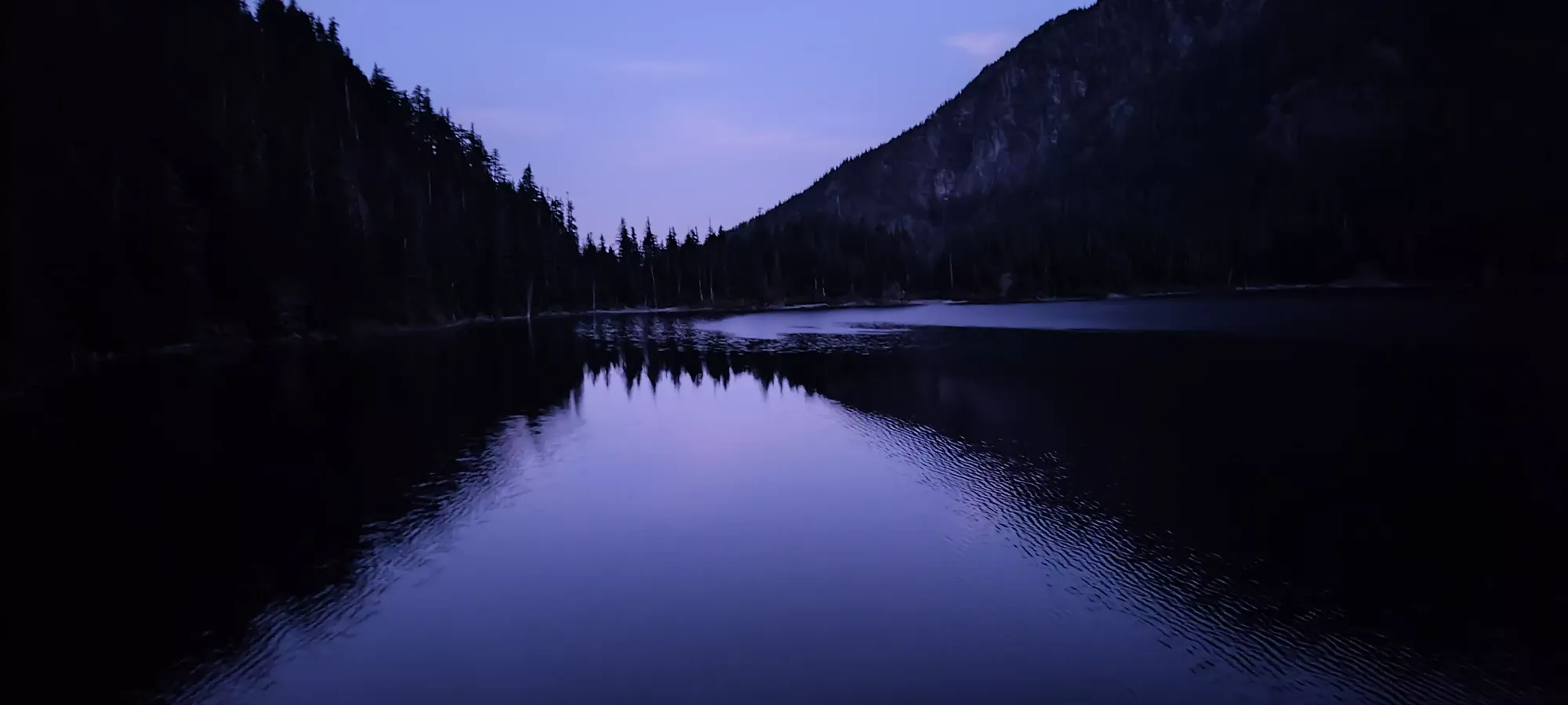
Despite carrying a couple litres of water with me for this trip, due to general knowledge that the HSCT dries up over the course of the summer, I didn't really research very hard, and as I departed the lake and headed back into the forest on my way up towards the peaks I was searching for, I realised that I was, in fact, walking beside a strongly-flowing creek 😅 Turns out this stretch of the trail follows Deeks Creek to a pair of lakes, then almost all the way up to Hat Pass. Oh well, it could be worse, I could have had to bring a winter pack full of snow gear 🤷
I continued on along the mostly-wooded trail, until a bit before 7:30, when I found myself at the shores of Hanover Lake, where I finally stopped to stash my headlamp, and soak in the views of... Brunswick Mountain. Interesting choice for the name of the lake in my humble opinion, but hey, who am I to judge? I took another 5 minutes or so here before moving along.
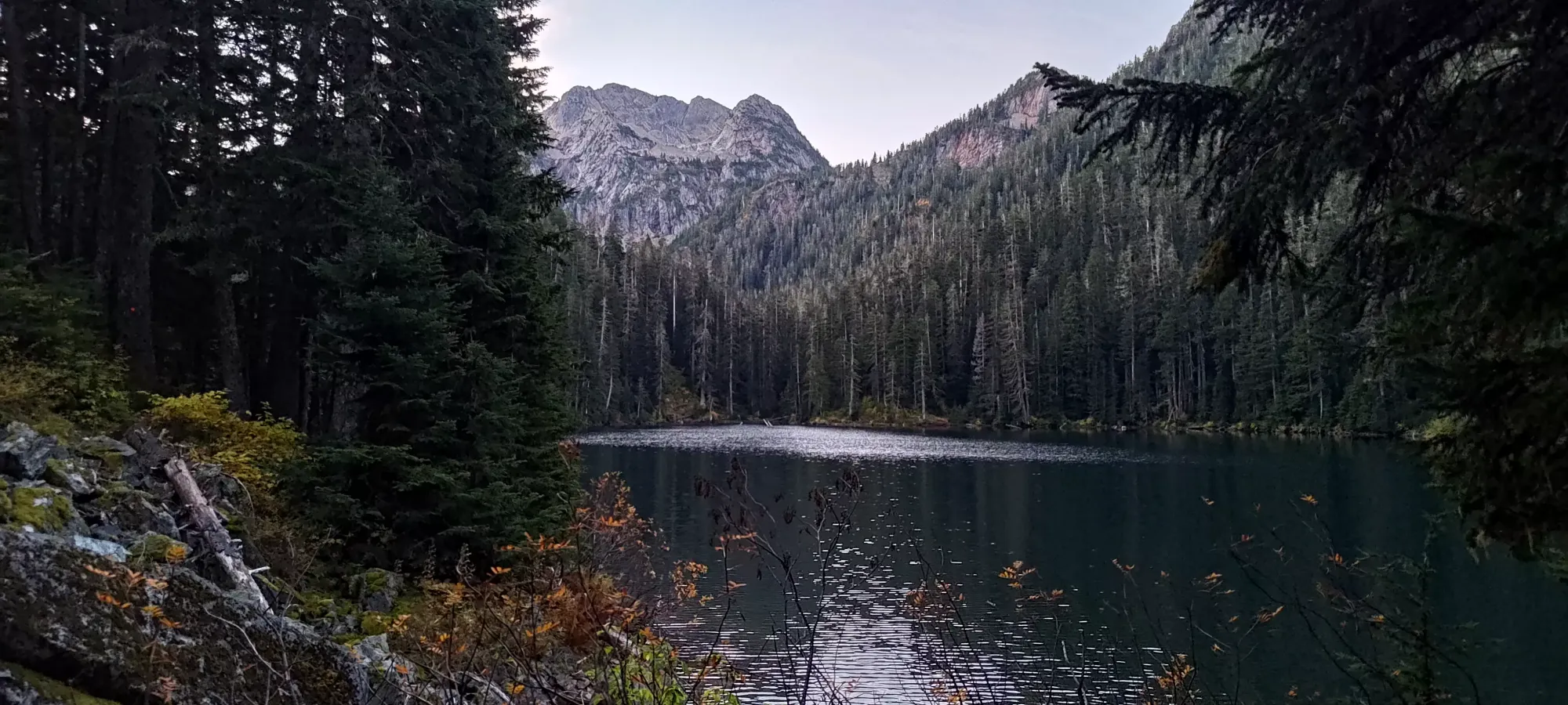
The next bit of trail took me up another 100m of elevation, past a fairly pretty waterfall, and up to Brunswick Lake. Ironically, I think a decent view of Mount Hanover from there 🙃 Since it was starting to warm up past 8am, I decided I'd stop for a bit longer and have a pack of fruit gummies, and generally just unwind a bit, since I'd been going for quite a while.
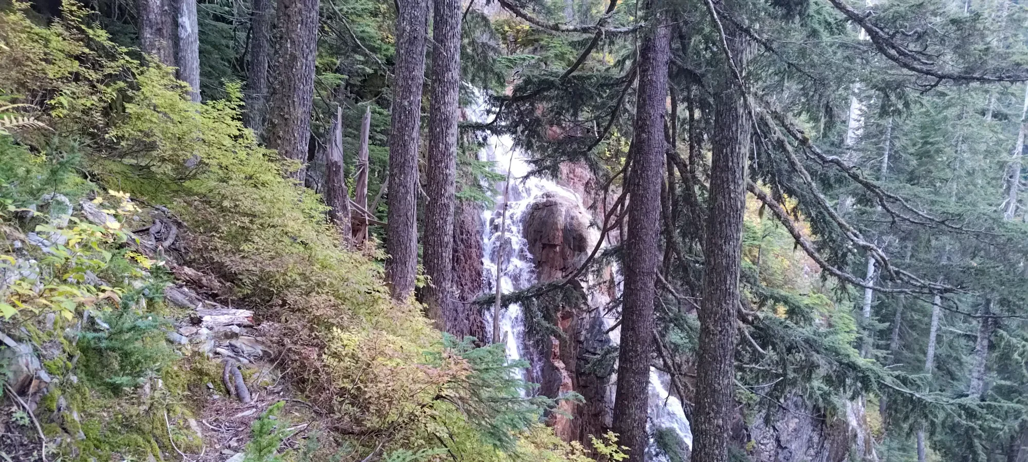
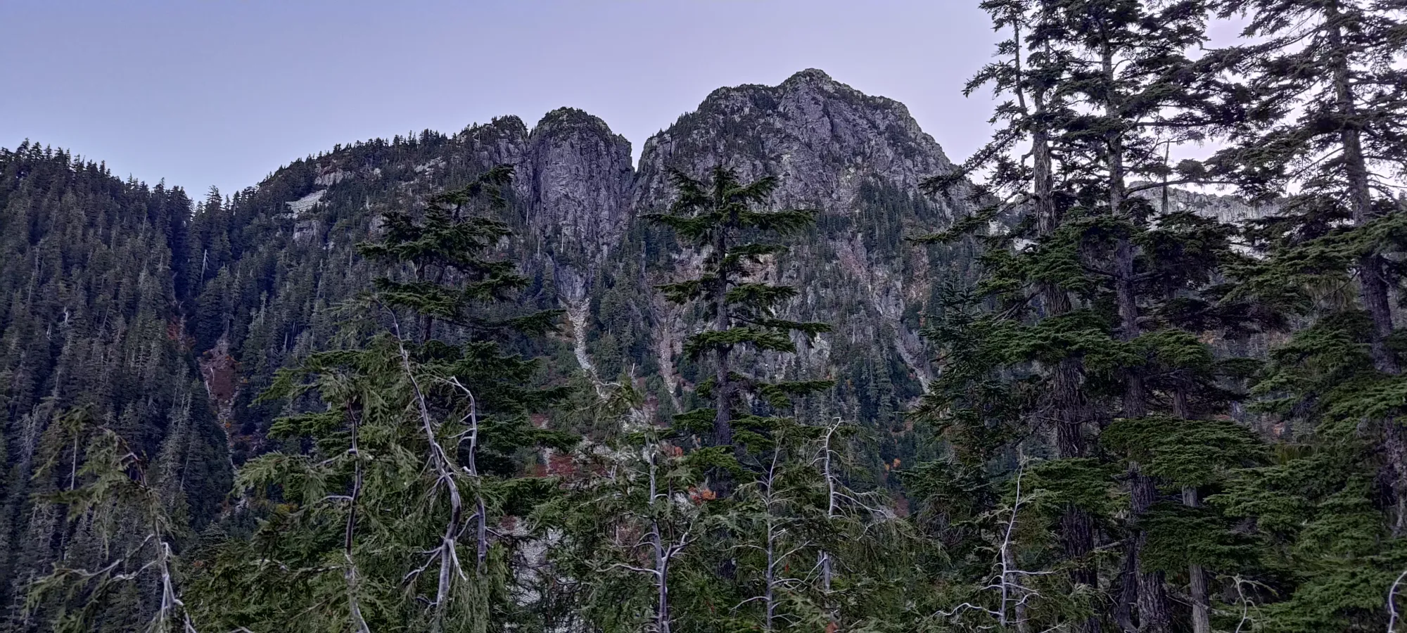
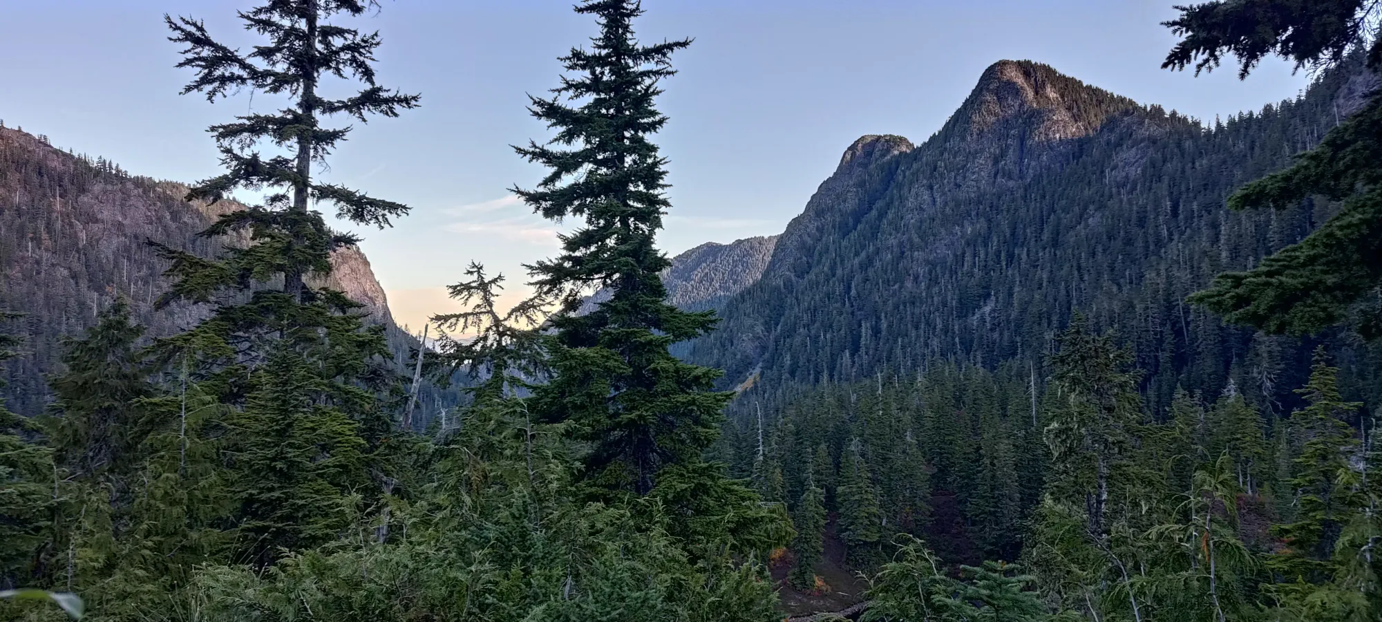
After my rest break, I checked out the emergency shelter (not much to look at, just some beds and a locked room that probably has emergency supplies in it for SAR), then punched up the next 100m of elevation to a small pond, where the trail forked in half, and I finally started the actual Mount Hanover ascent, as opposed to just walking the HSCT. That brought me to about 8:35am, or nearly 5 hours of approach just to start the actual Hanover-specific part of the day 😅 (if you're wondering why I wanted to combine it with more peaks, that'd be why, doing that approach 20 times over would be super tedious).
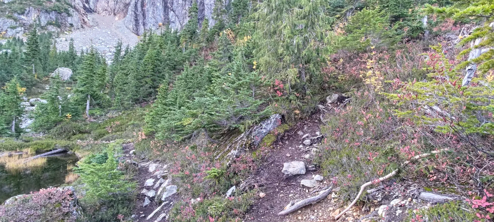
After curling around that small pond, the "trail" (it was pretty faint) crossed the now-weak Deeks Creek, then kept a fairly steady elevation traversing across the dirty bowl that I'm sure, once upon a time, contained a glacier. Instead, it was now just debris, occasional flagging/cairns, and a couple hardy snow patches that seemingly survived the summer.
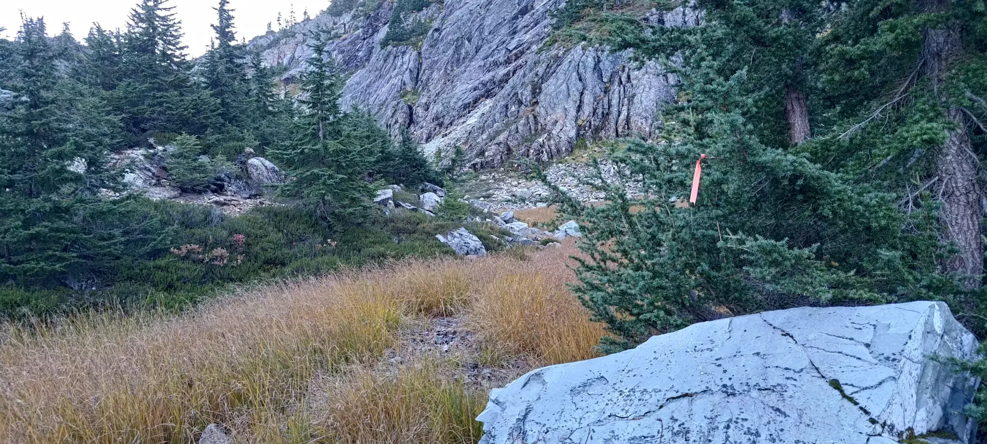
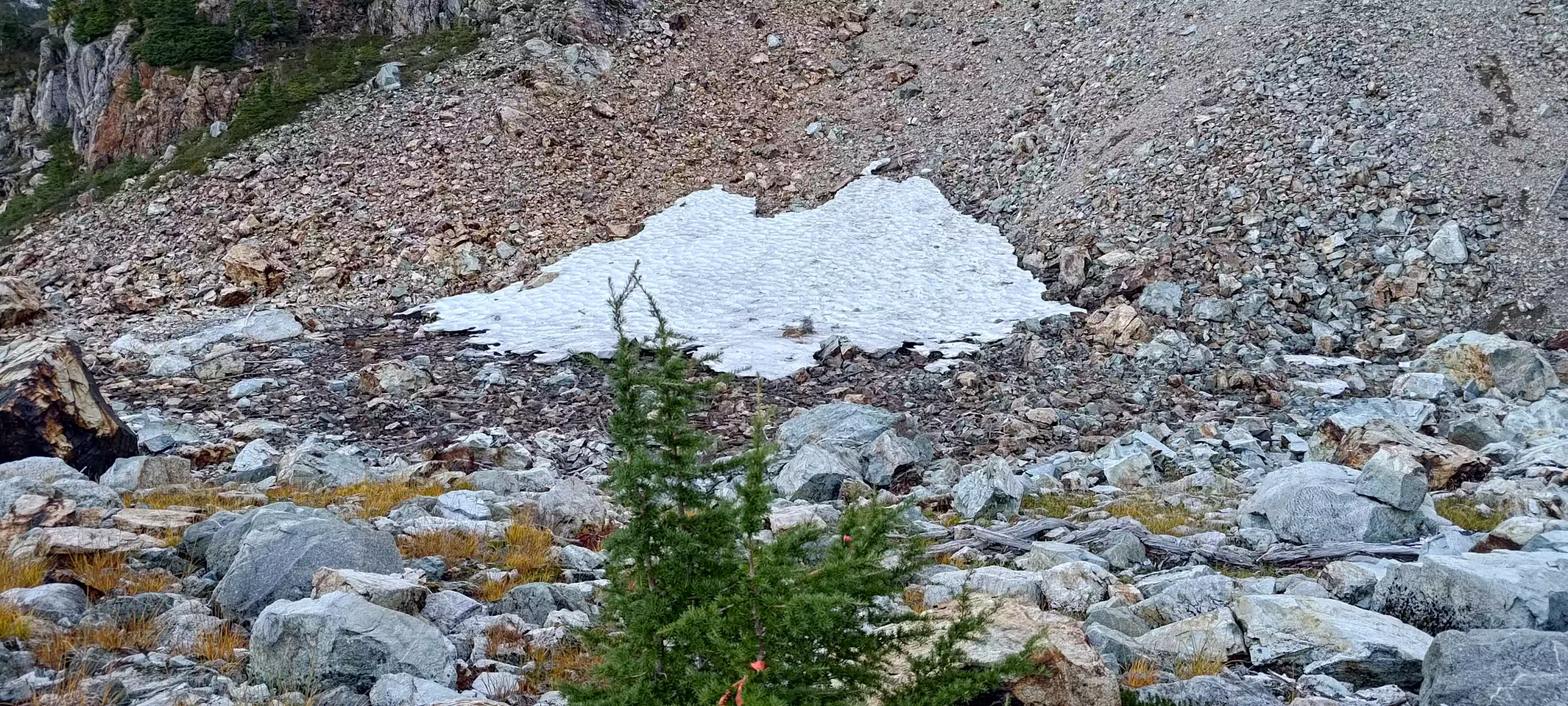
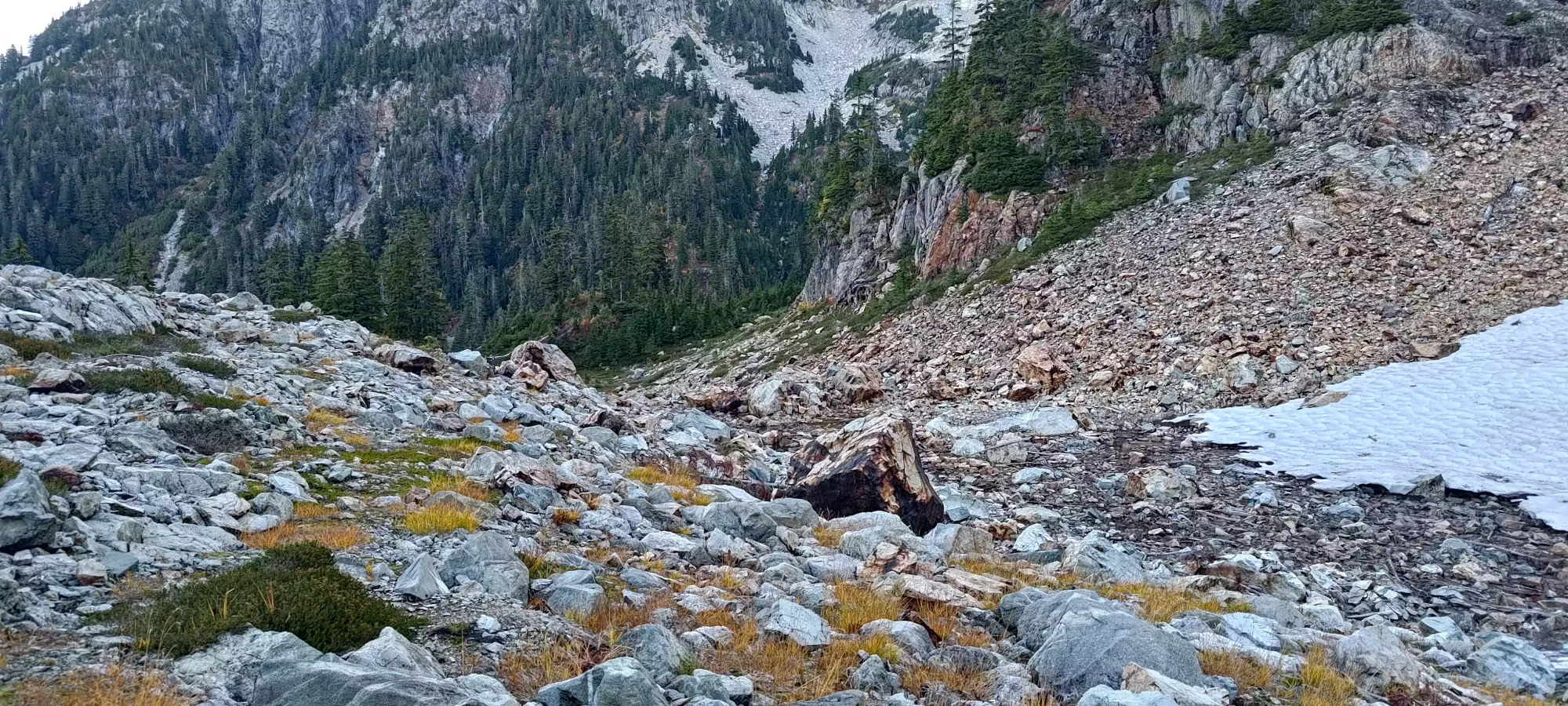
Once I got across the open part of the bowl, there was a short bushwhack (well-flagged) to get down to the bottom of the route, from which there would be a bit over 400m to gain to the summit.
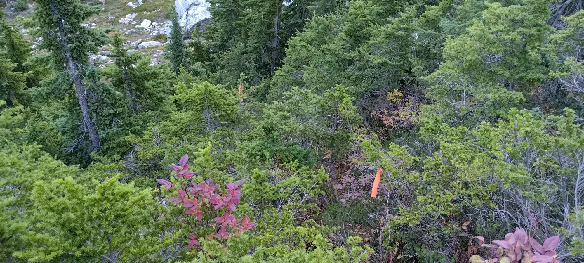
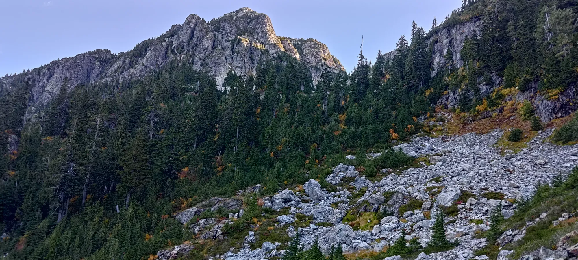
After a short bit of open grassy slopes, I had to ascend the short boulder field seen below. From there, it was another short stint in the forest, again with great flagging to follow. Once I was out of there, though... then came the annoying part. From about 1400m to 1600m is basically just a giant boulder field. For those of us with ankles comprised of screws and prayers... that's not ideal 😅
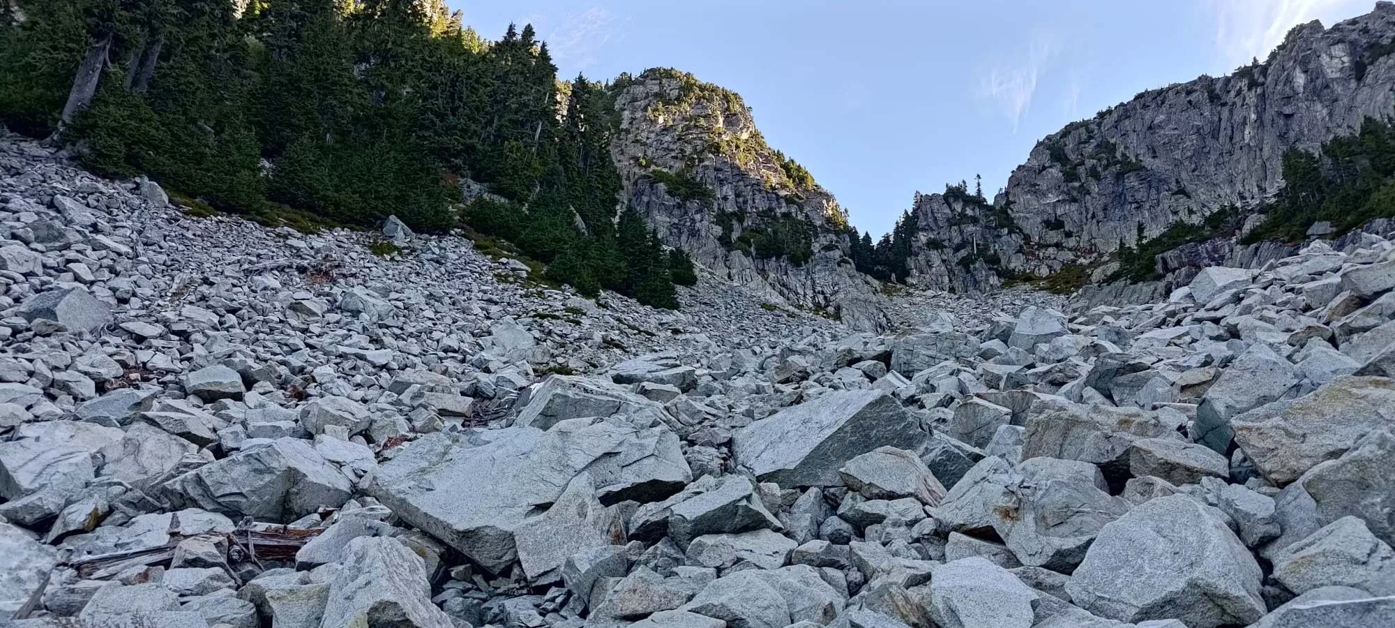
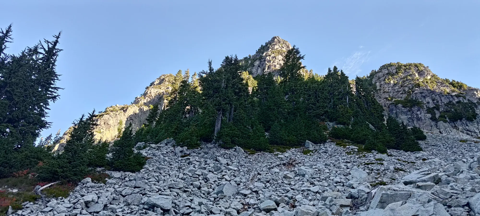
In fairness to the boulder field, it was actually pretty stable, so it made for fairly efficient uphill travel, with mostly steep hiking and class 2 scrambling to get through it. There are cairns scattered throughout, but you can just go however feels best to you, and it'll work out just fine. I've seen a decent few winter trip reports for Hanover, and I bet this is part of why, I was dreaming of how much easier it would be to just walk up on snow, and glide down on my skis ⛷️ Not today, but hopefully sometime 🔜™️
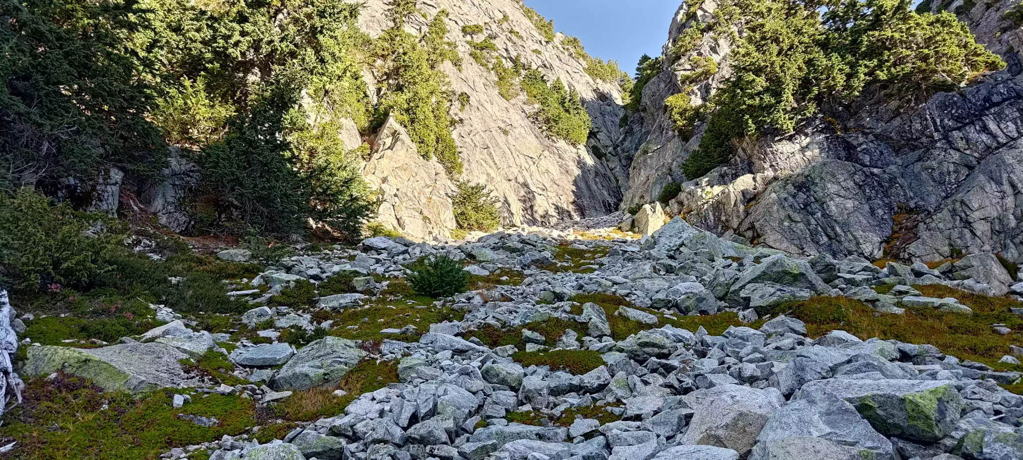
By about 10am, I climbed my way above 1600m, and found myself at the base of a big gully. Most trip reports I'd read mentioned taking the climber's left gully (this one), though one or two mentioned the one further to my right as working out, potentially more easily? I didn't want to take too many chances, and I saw a fixed rope dangling in this one, so I slapped my helmet on and started making my way into the scrambling terrain. You'll have to forgive my watch's tracking accuracy in this bit, it tends to jump around in steep, rocky terrain, but if you're trying to follow it, once you're in the gully, staying in should be pretty simple.
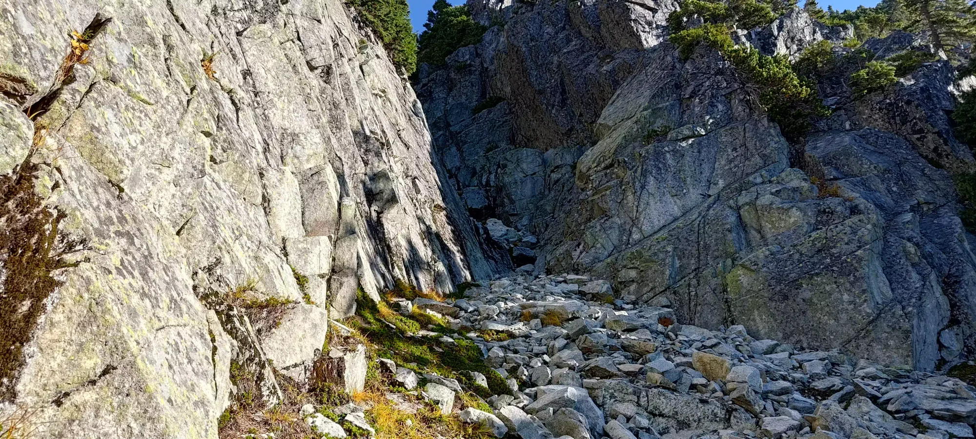
After the first few easy moves, I was quickly shoved right into the crux of the climb: a short but fairly smooth couple of moves to get up to a large ledge, above which the fixed rope(s) were set. I sat there and contemplated my life choices for a minute, but eventually used a system of a couple widely-spaced holds on the left -side corner of the gully, with the rope running through my hands just-in-case (as much as I hate using fixed ropes, given the sketchiness of these moves, I was compelled to at least keep it handy if my moves didn't work out). There was a lot of stretching required, but I eventually got up onto the grassy ledge above the hardest moves, and the worst of it was over.
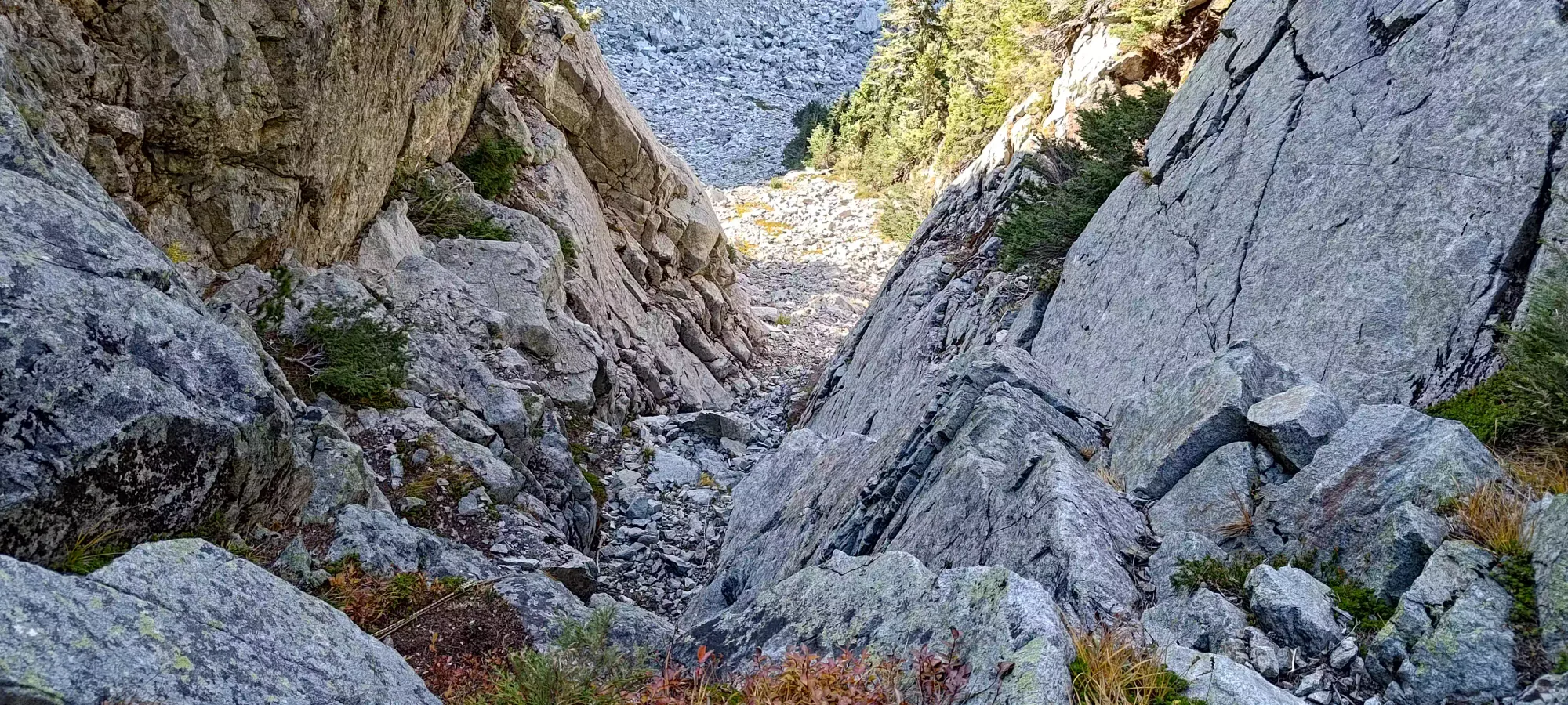
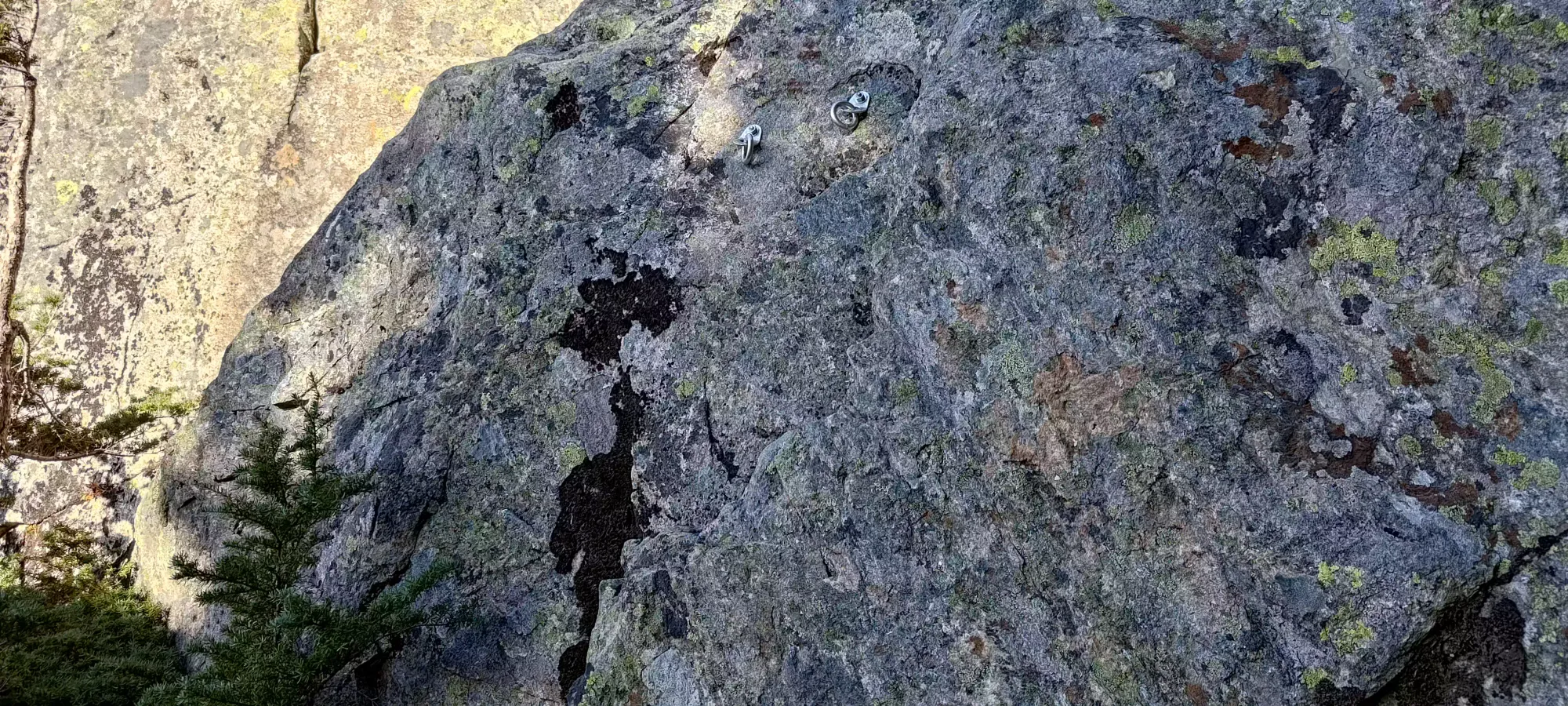
From there, the scrambling continued, with a decent dose of steep hiking thrown in as well. There were a couple more difficult sections, but none quite as difficult as that first crux where the rope was fixed (thankfully). The difficult mostly came from the rock being smoothed over in many spots, with holds spaced far apart from each other. Taller climbers will definitely find this easier than shorter ones. I did find some rap rings in a few places, including a few metres above the crux, for what it's worth, so a cautious party bringing a rope should be able to make things easier, with little to no gear left behind. This is honestly not a bad idea, if you're not very confident in your scrambling, I'd do this. Fixed ropes can't really be trusted without inspection, and I didn't get a good look at their anchor point (they're slung around a large rock, but their condition, and its stability remain question marks).
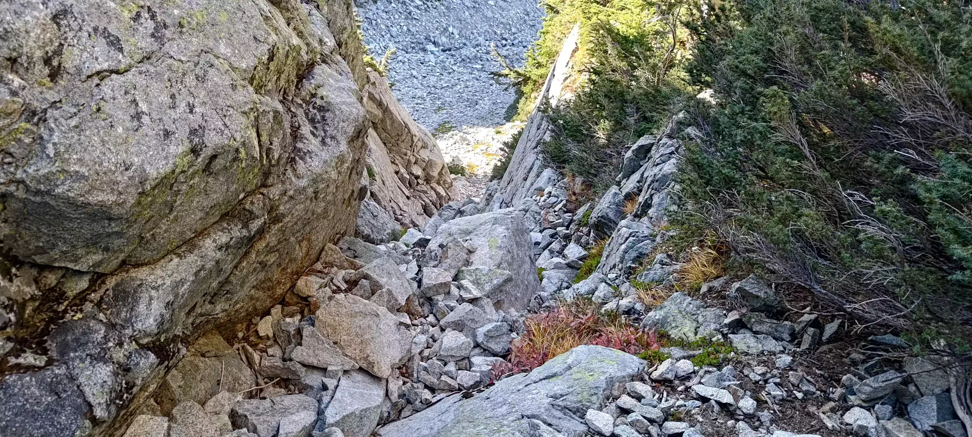
After ~15 minutes getting through the harder terrain, things became grassier and more hike-focused at the top of the couloir, and by about 10:30, I clambered my way onto the final, short ridge leading to the summit.
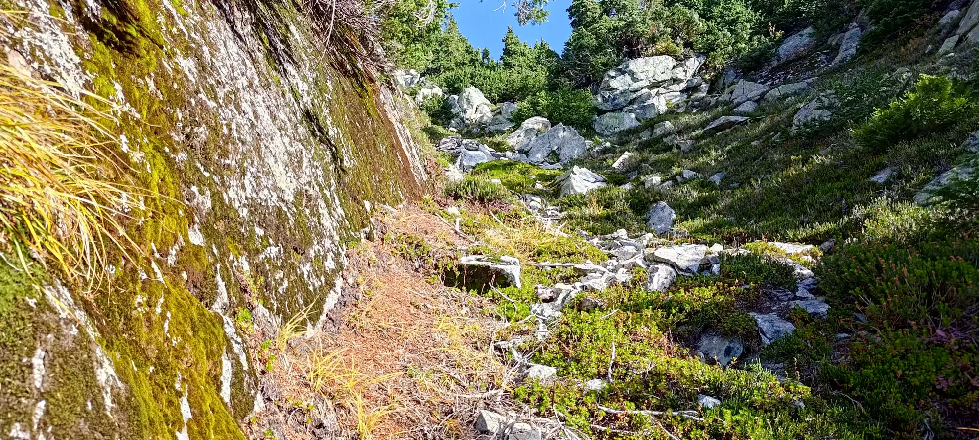
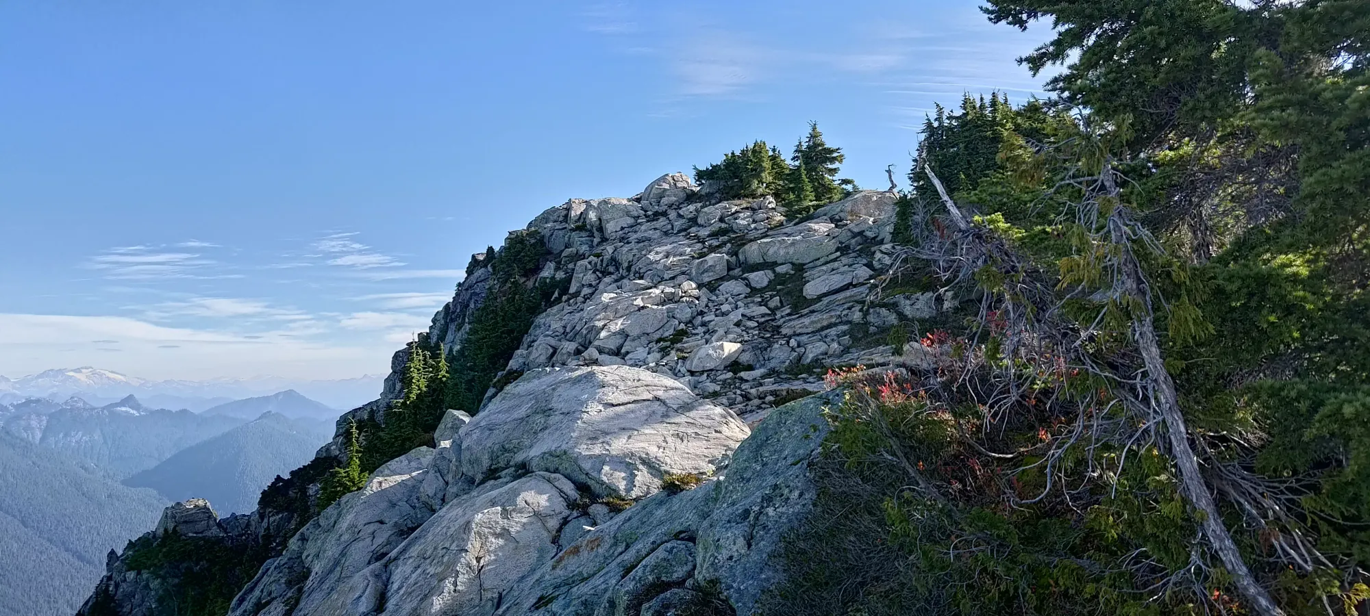
I explored the climber's left side of the gully just out of interest, but the true summit is to the climber's right. I got there just before 10:40, and hung out for about 35 minutes, enjoying a proper breakfast (read: a peanut butter sandwich) before I started making my way down. In total, it took just about 7 hours from parking to summit. You can make this faster by starting in Lions Bay and taking the Brunswick Trail, which is more direct. Or just by not having an old injury combined with harsh medication to force you to go slow, that probably also helps 😅
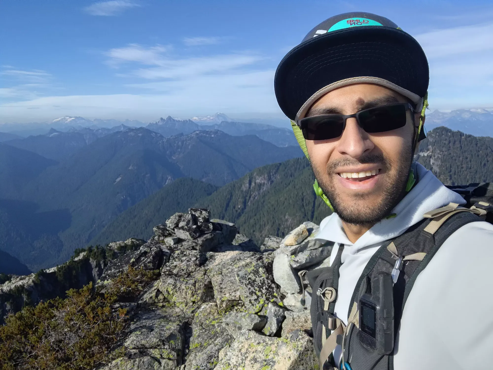
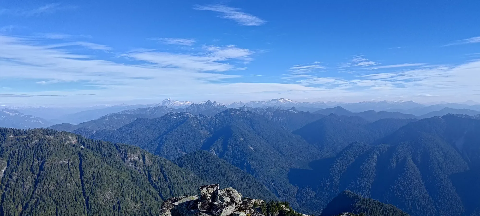
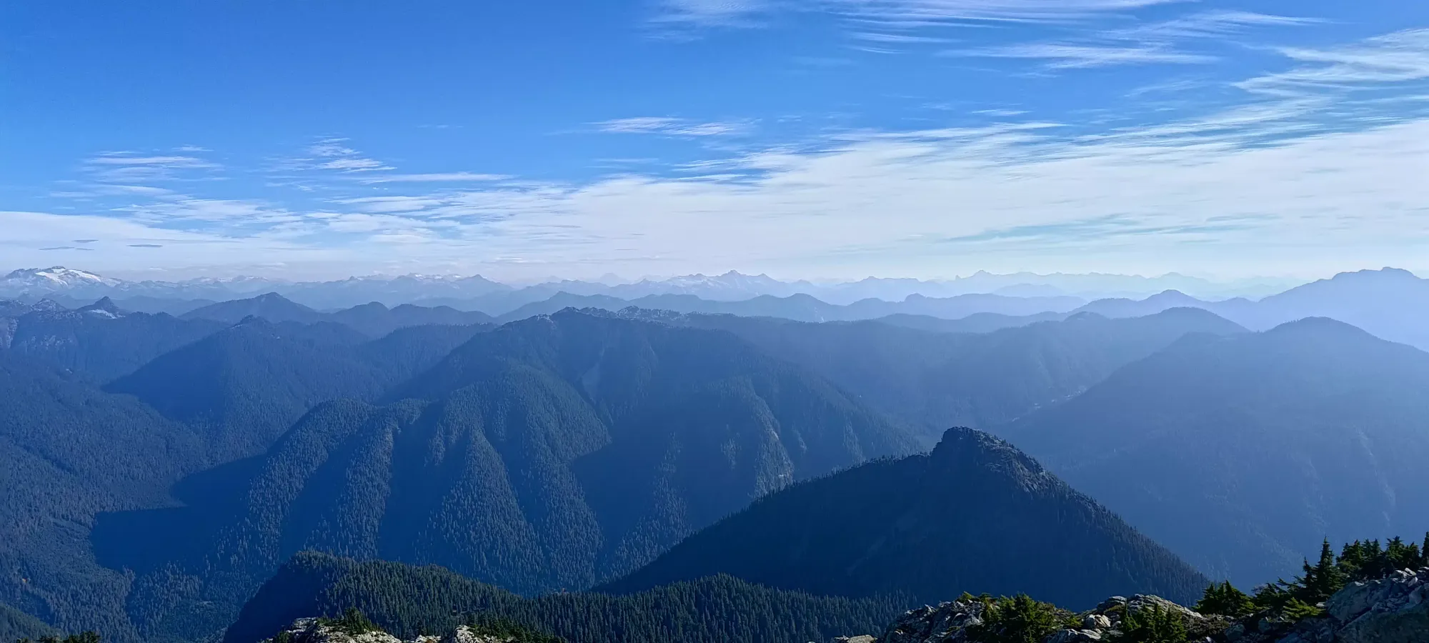
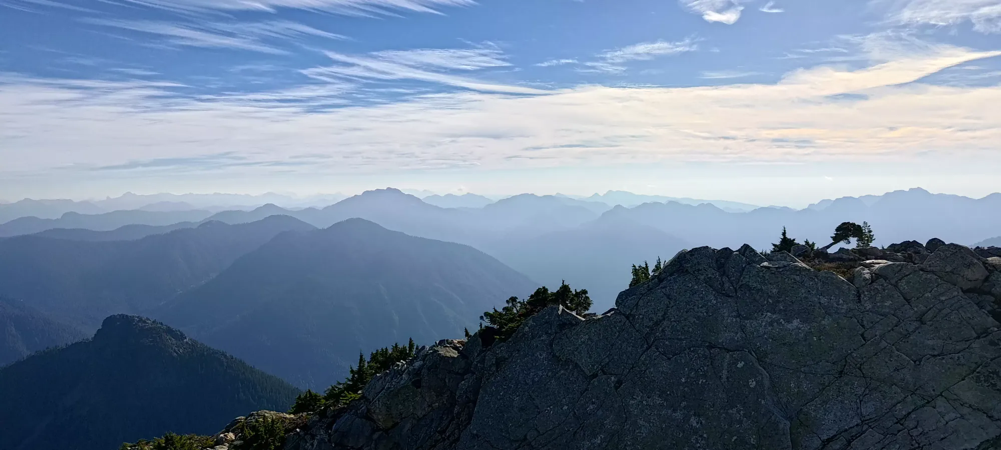
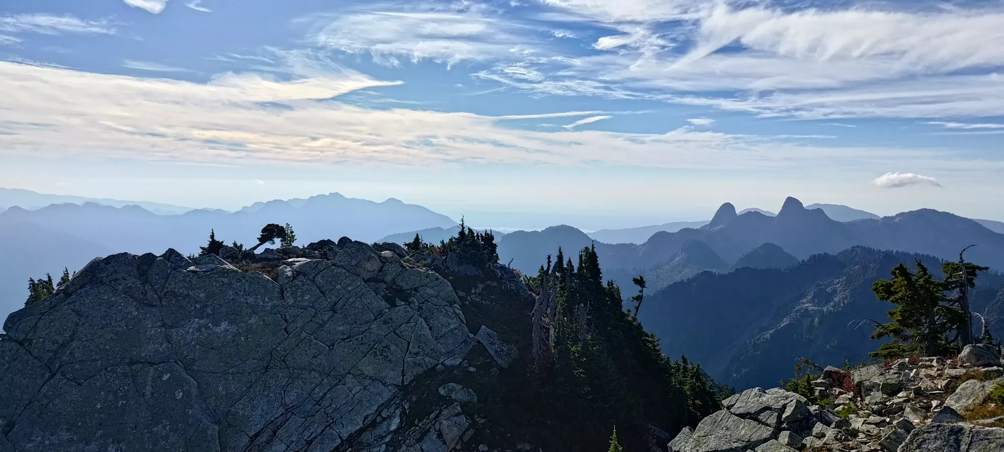
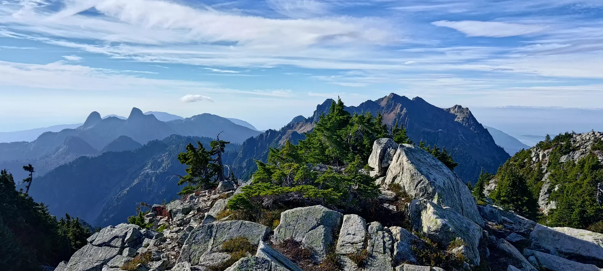
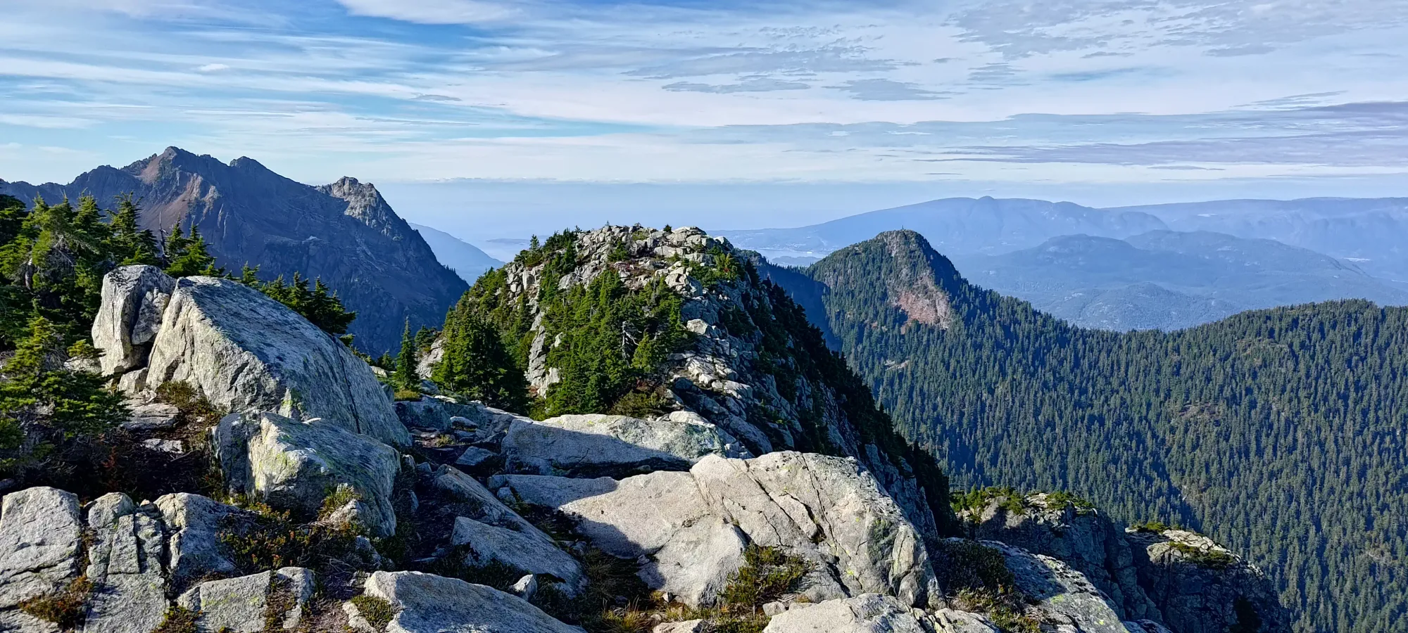
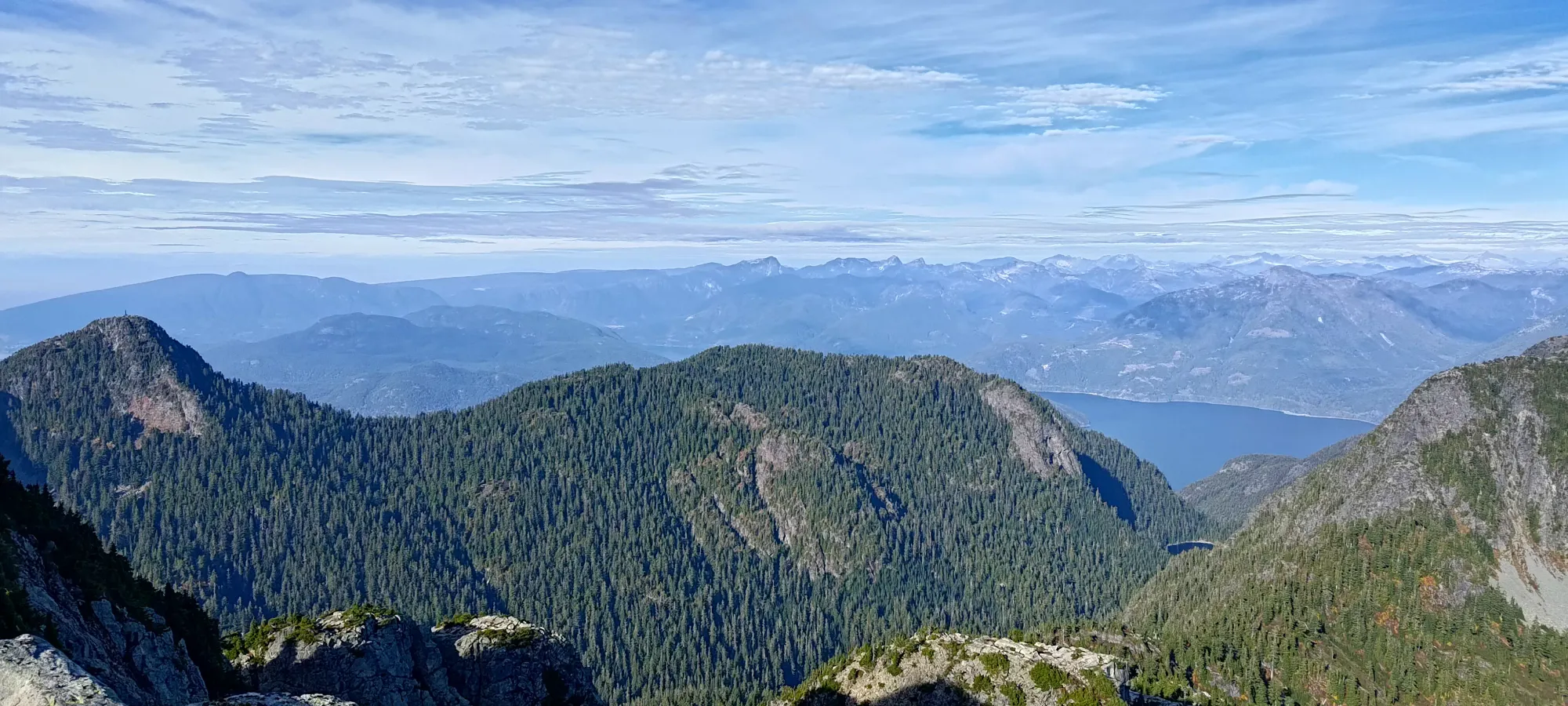
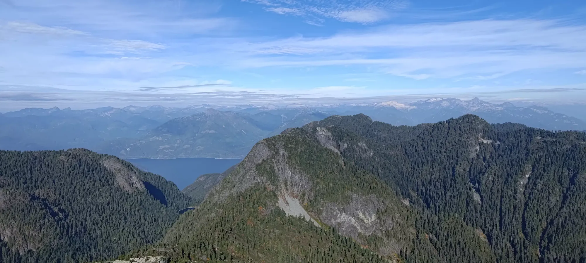
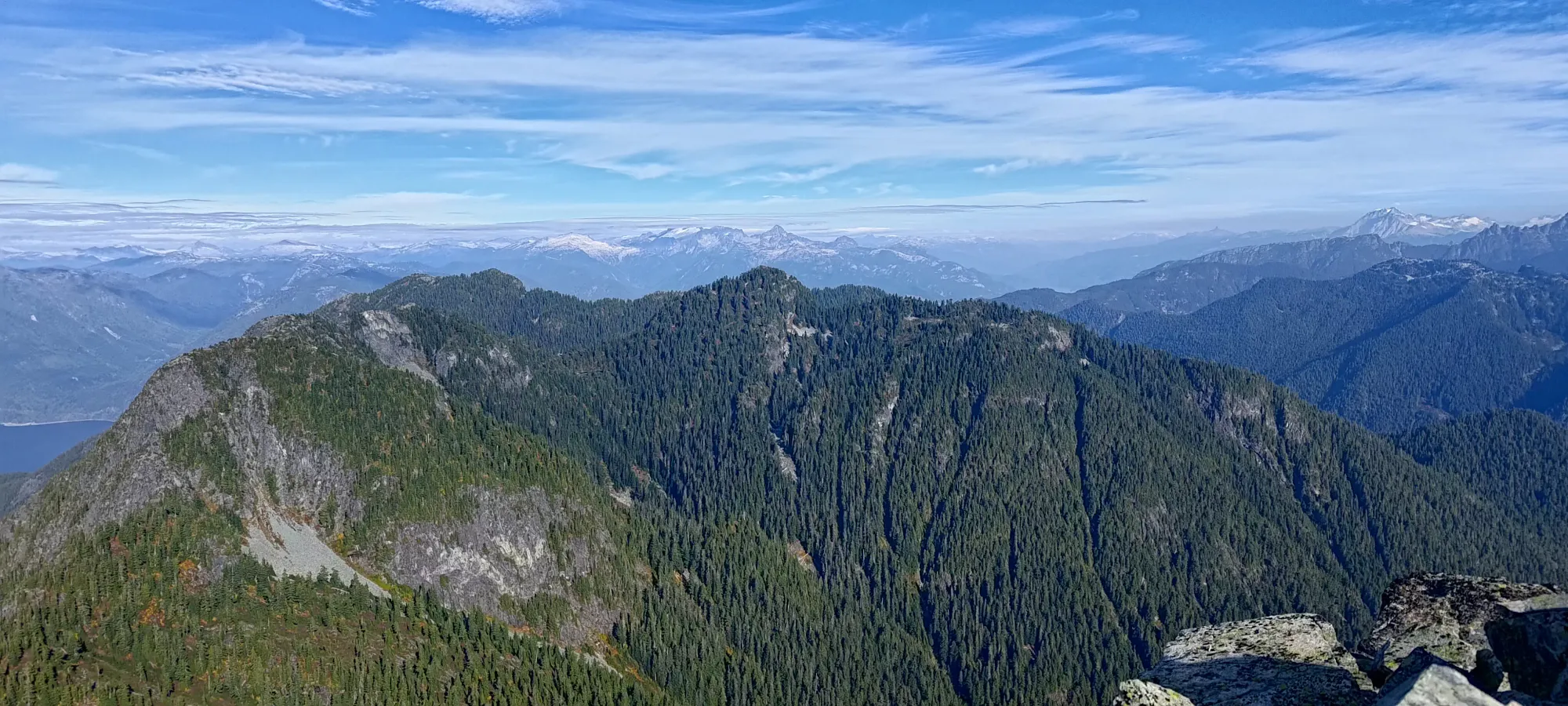
I was a bit worried about descending given the few reachy moves I had to make on the way up, but as I got moving, things ended up not being too bad. While the whole gully was steep, the hike-y bits had stable enough footing that poles were more than enough to prevent any slipping. As for those reachy scrambles, many ended up being a bit easier on the way down with greater visibility, and more opportunities to apply counterpressure for a safe descent. Maybe halfway down or so, I even noticed a second set of rap rings, so it seems like you can rap past most of the hard stuff if that's more your style.
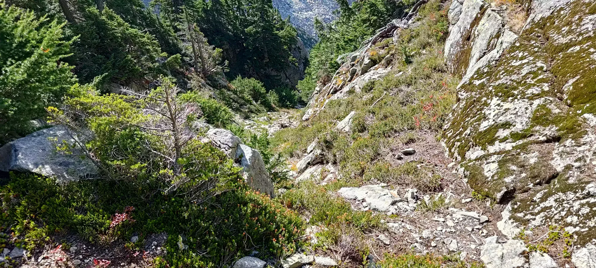
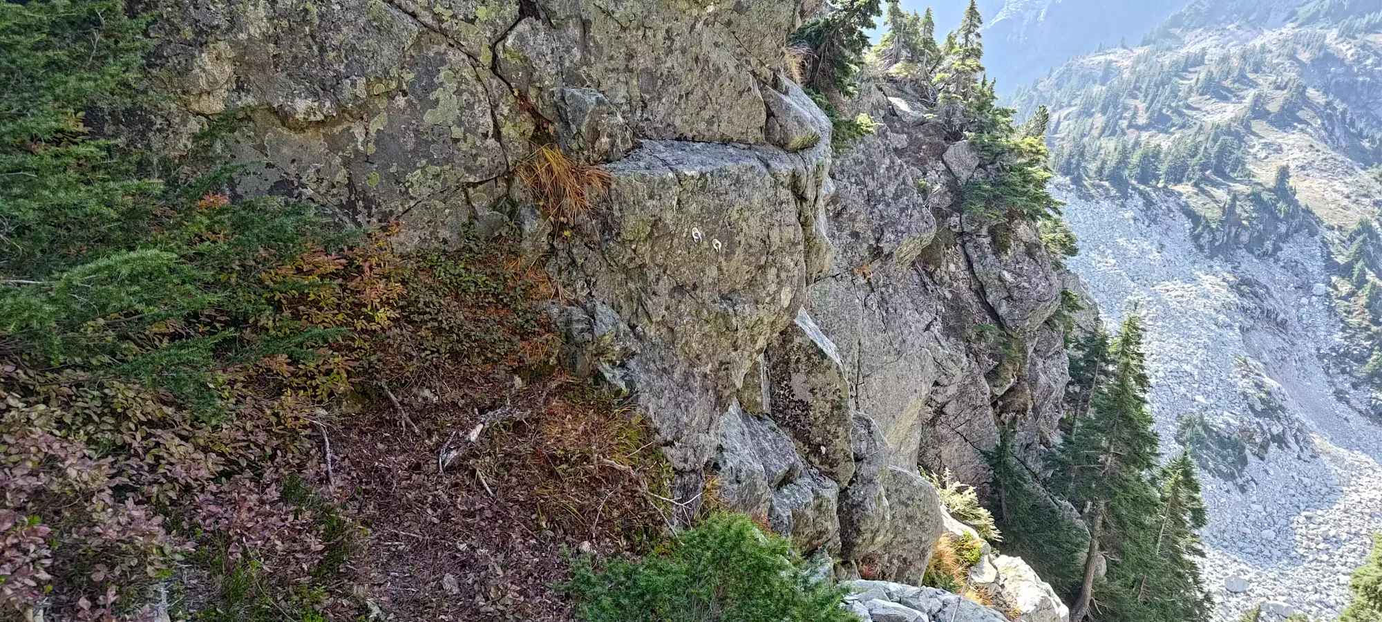
Once I got back down to the crux (which is most of the way down the scramble), I noticed that a ledge system on the skier's left of the gully would allow one to bypass most of the harder moves I made on the way up, which made for a fairly simple descent to the hardest move.
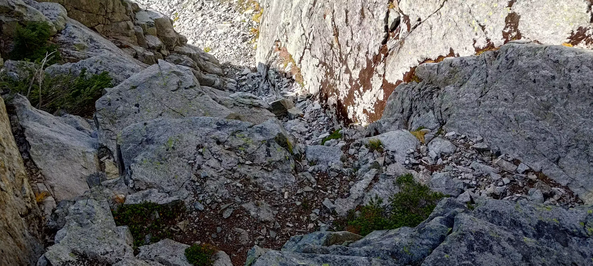
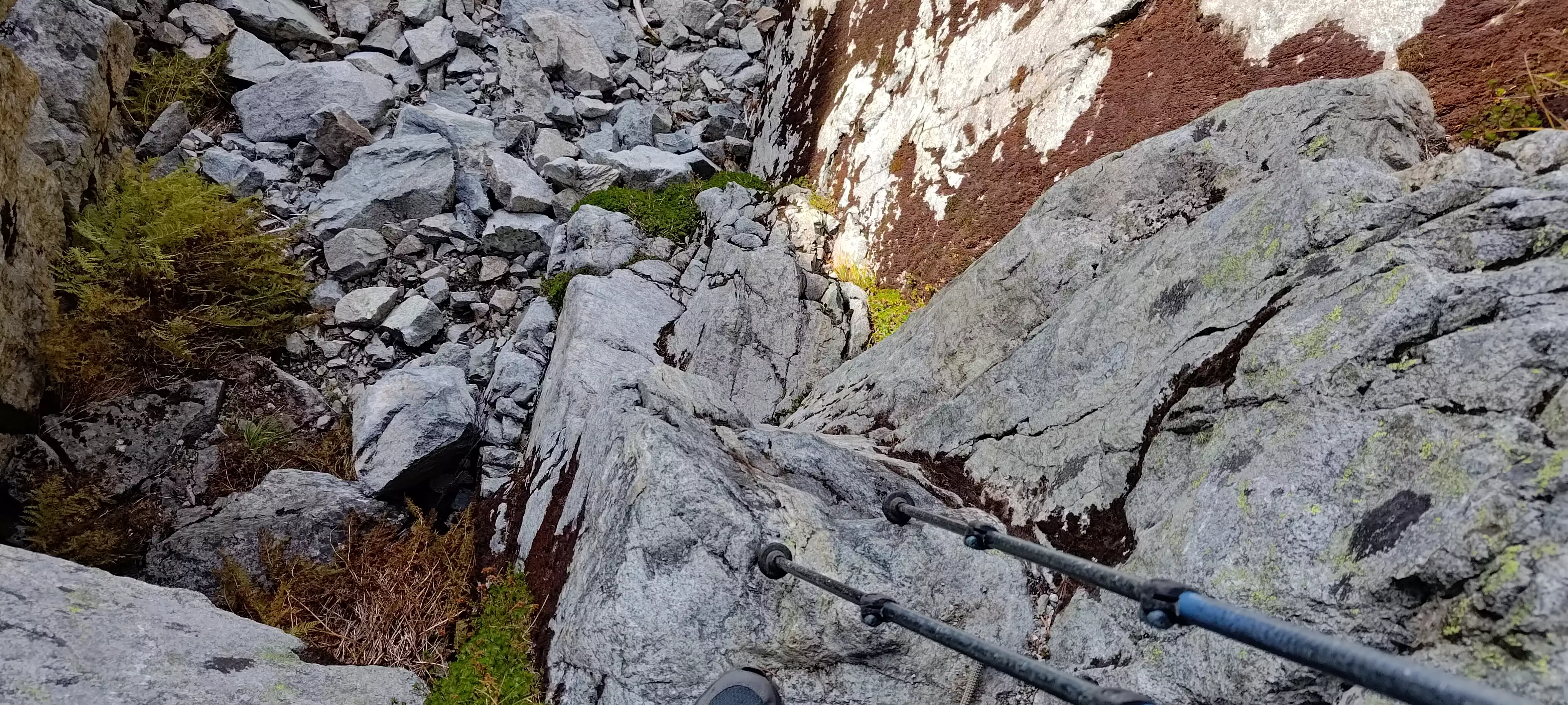
Again with the rope handy just-in-case, I managed to lower my pack using a pole, then more comfortably use counterpressure between the good holds on the right side, and the mediocre ones on the left to shimmy down the ~10ft of crux. That little bit was actually pretty difficult, and given the reports I've seen here vs other areas where the same people have roped up, I struggled more than expected. Just goes to show how everyone's got their own strengths and weaknesses when it comes to scrambling terrain, I guess 🤷
Once I was out below the gully and out of firing range of any potential rockfall (none observed, but the giant boulder field below and non-zero amount of loose rock in the gully indicated this does happen), I stashed the helmet, and readied myself for a tedious descent, as going down boulder fields is never as expedient as going up them 😞
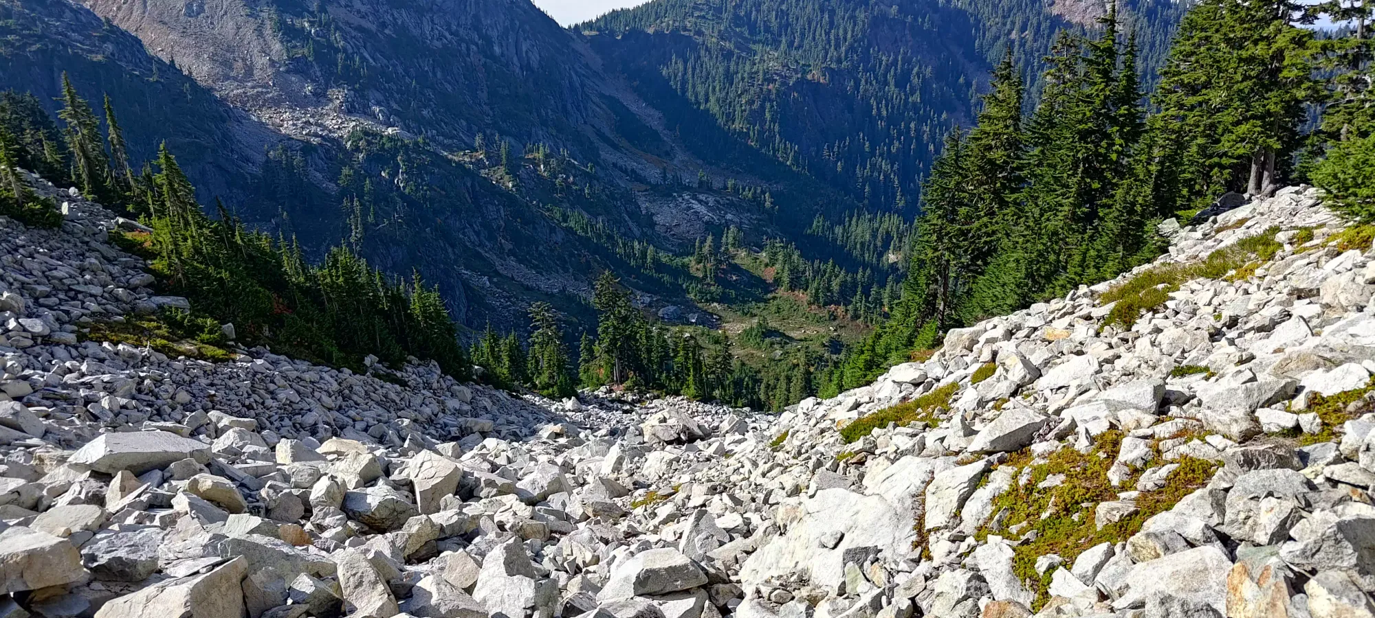
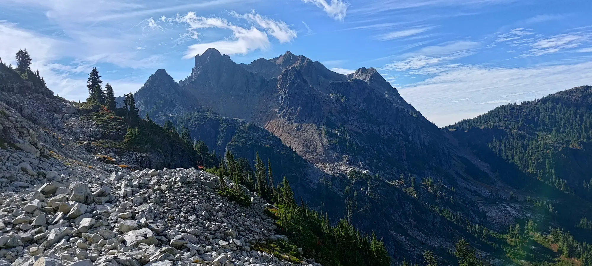
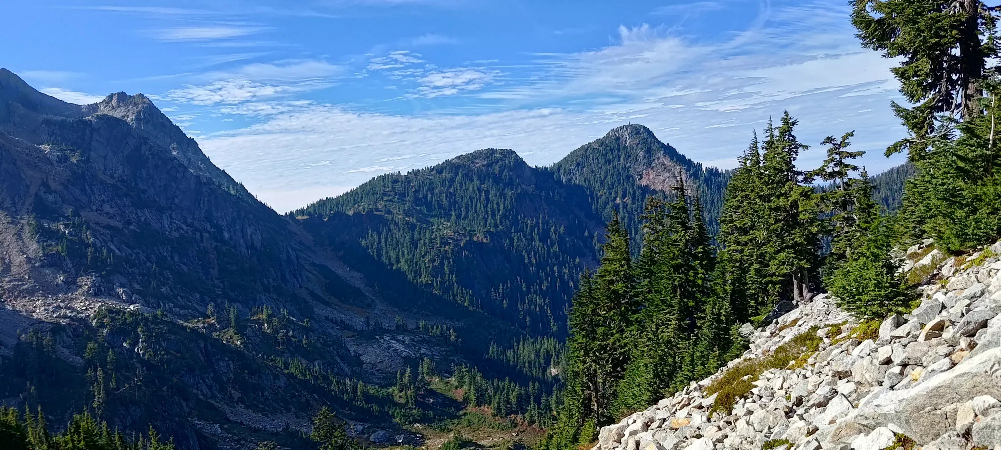
When I was planning this trip, I'd initially hoped to traverse from Hanover to Brunswick, as that would save having to descend all the way to ~1350m, as the col stays above 1500m, but I couldn't find any reports of that being possible, so I swallowed my disappointment and slowly picked my way down the rocks. I reached the bottom of the Hanover route in around an hour. Breaking out of the boulder field into the only somewhat rocky valley below the slopes of Brunswick was a great relief 🙂
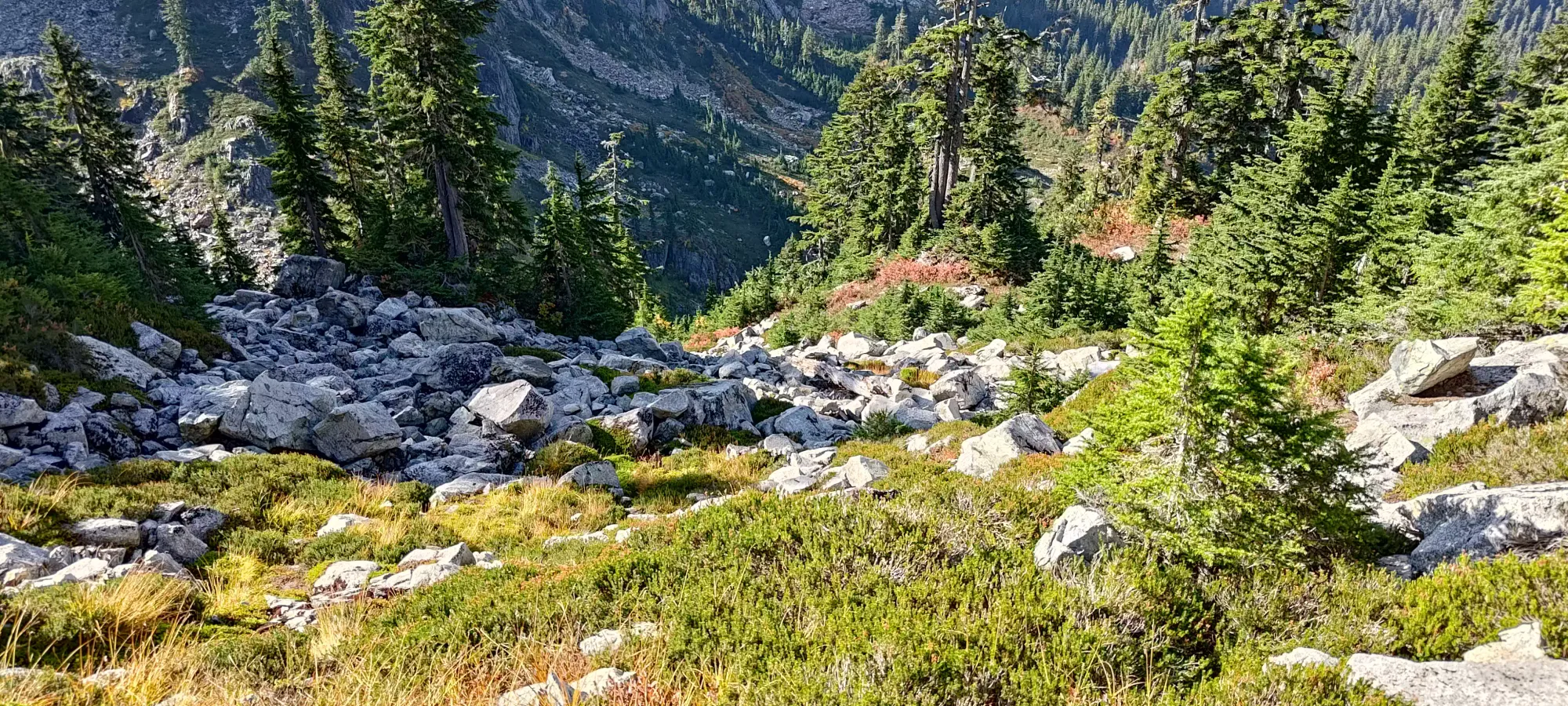
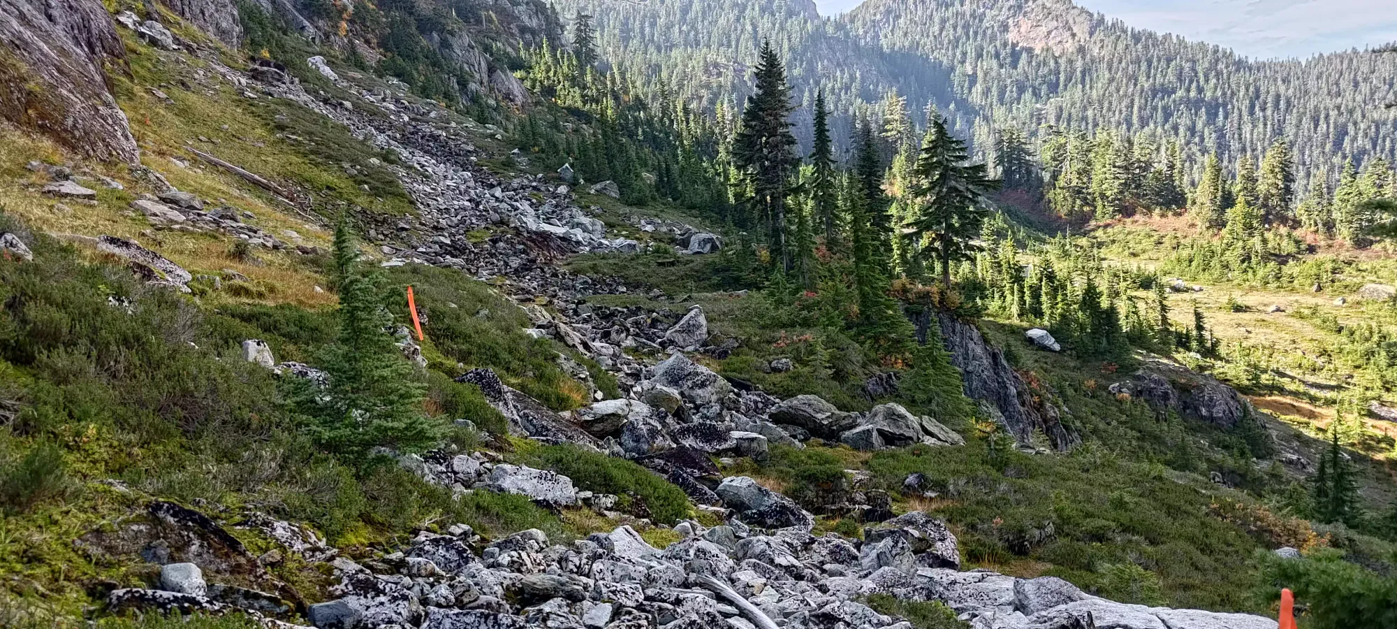
From there, the traverse back over to the main trail took about 15-20 minutes more. I even managed to pick up an alternative path to get back on a bit higher, saving a whole 10m of elevation gain!
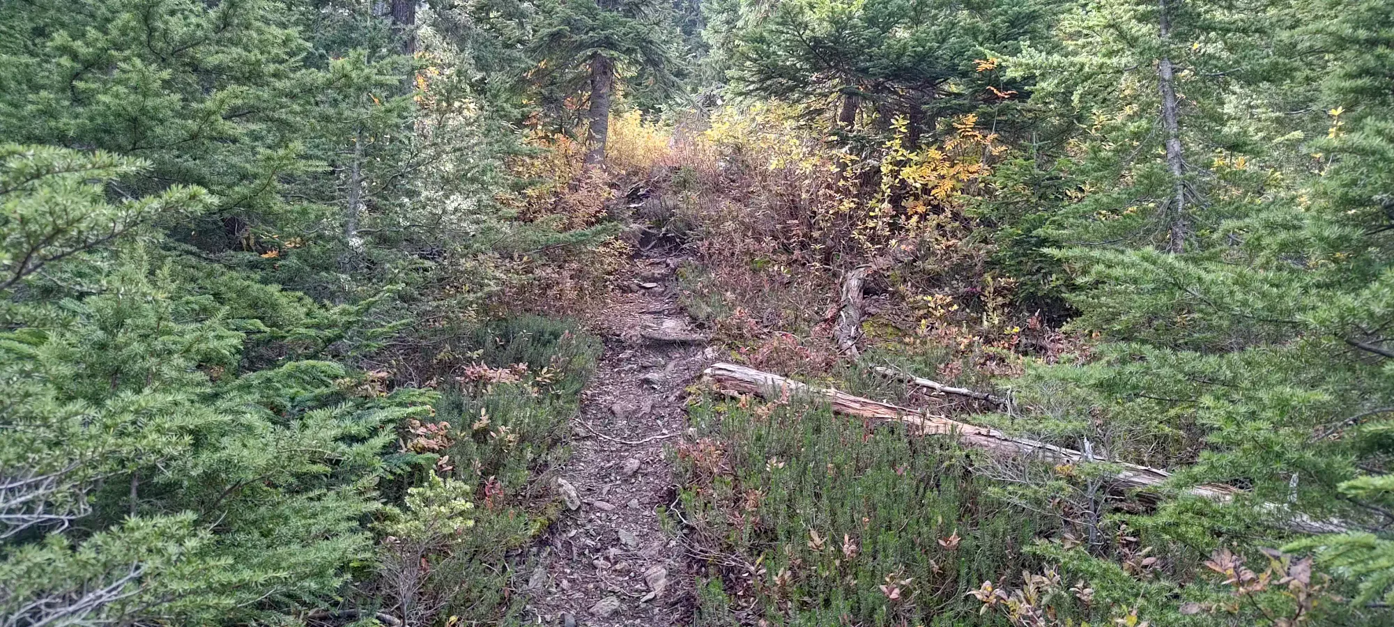
That brought me to about 1340m elevation, below Hat Pass on the Howe Sound Crest Trail. The time elapsed was about 9.5 hours, making it a bit before 1:15pm at this point 😅 Hanover by itself is a decent objective, but I didn't want to waste all that approach, so next up, Brunswick! I'll continue that in a separate report, though, so head over there to continue the journey.
GPX Track + Map
