Deeks Peak - February 18 2024
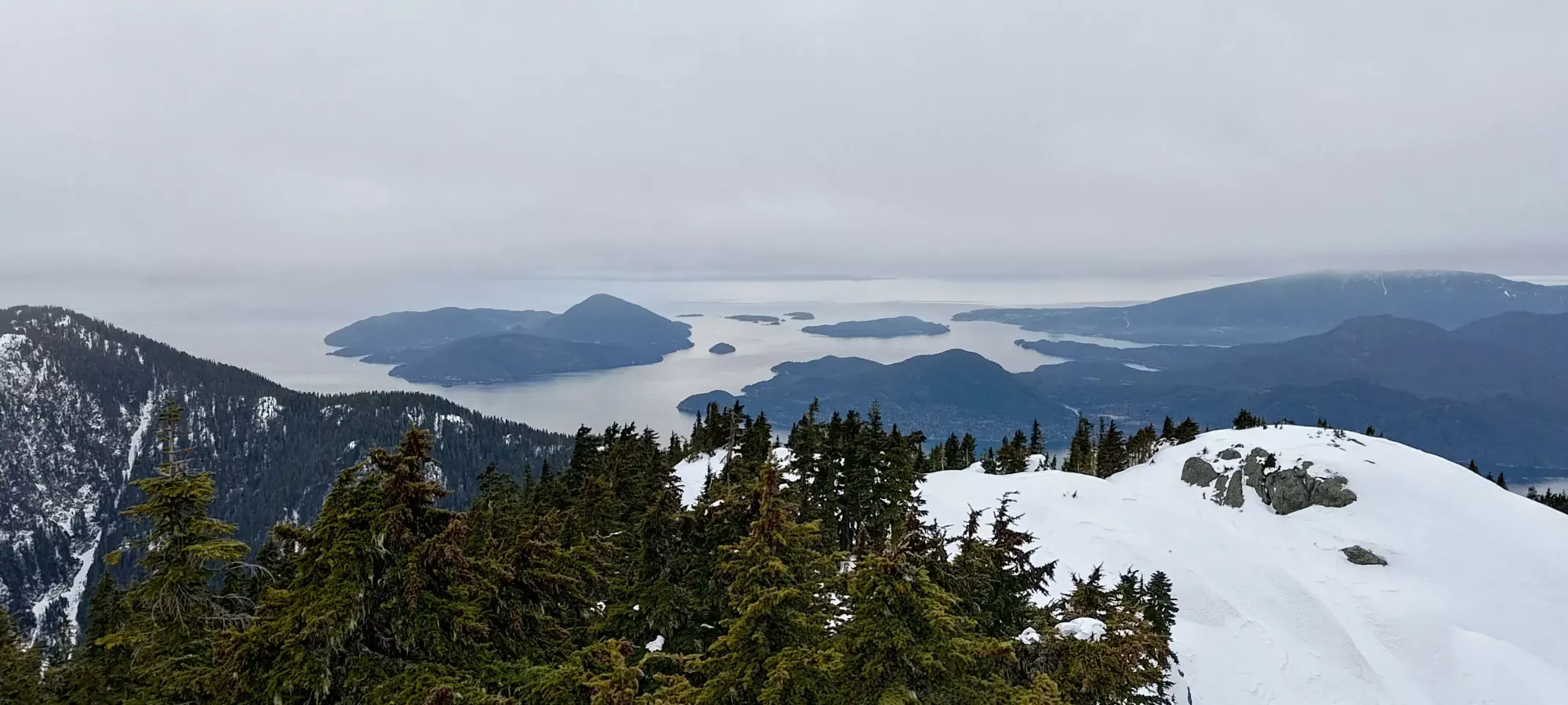
A fun hike which is fairly straightforward in summer, but we added some spice to by ascending in winter. Great views of Howe Sound

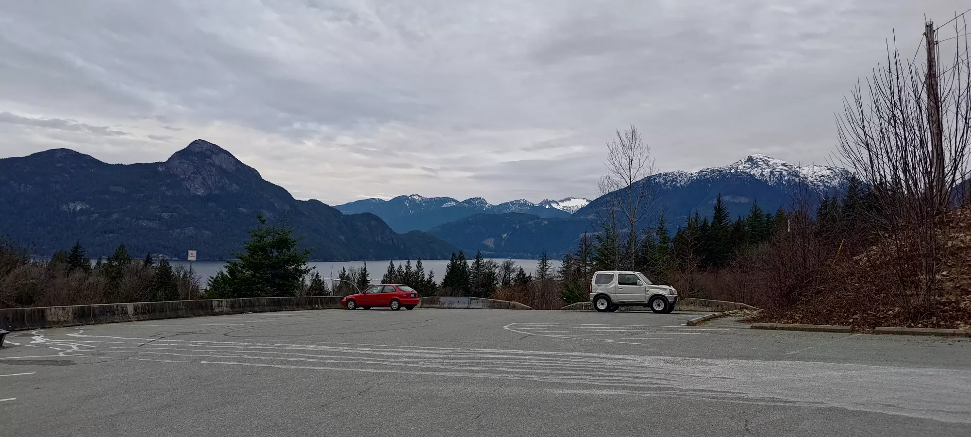
North Vancouver Area, Porteau Cove, BC
1672m
As has become the theme of the 2023-2024 winter season, "with a terrible, thin snowpack that reminds one more of November or June than February, I once again faced a hard decision of what to do with my day". The avy conditions in Squamish and north were looking pretty dicey, lots of wind slabs on all aspects. While the size of the problems seemed small, the last thing I wanted was to be forced to turn back due to an overhead hazard I couldn't control, so I decided to go somewhere safer. Talking to Logan the night before, we figured Deeks Peak would go in winter and be fairly easy to approach with the high snowline, so we decided to tackle that, and maybe add on the extra peaks along the NE ridge if we had time. Logan wanted to bring his wife along as well (at least to the lake), so we budgeted a couple extra hours for that, and planned to start around 8am.
I had some lingering issues in the morning that delayed me a bit (until about 8:30), so they got a bit of a head start, but I caught up within a couple minutes of getting off the road and onto the actual trail.
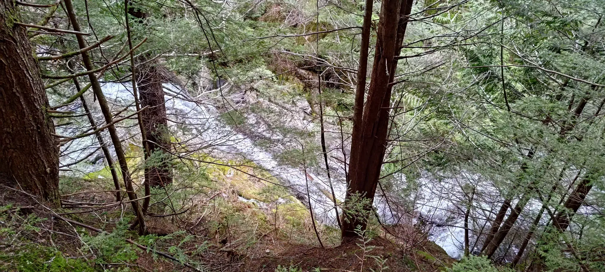
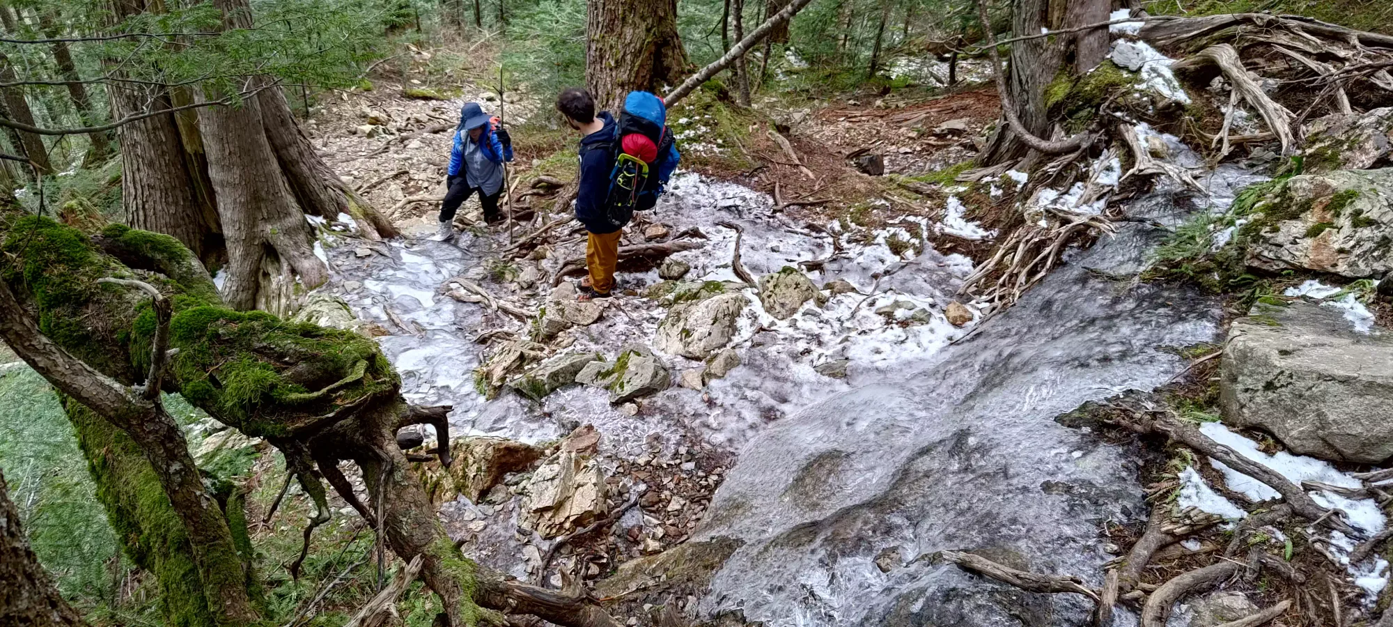
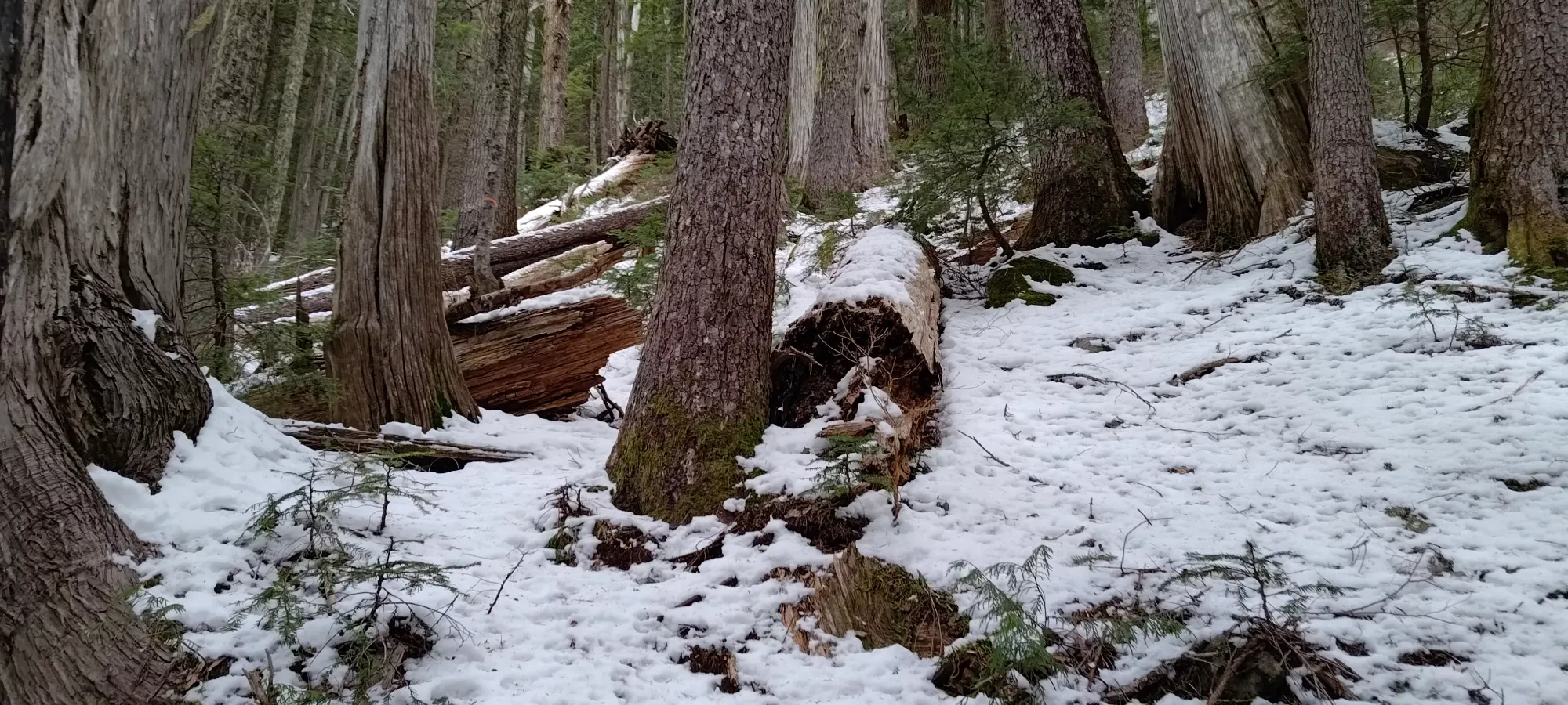
There isn't much to say about the walk up to Deeks Lake, I already glossed over that in my report for Mount Windsor. There were only 2 real things of note. First, the conditions. We didn't have snow until about 850m or so, after which it was slippery enough with occasional ice patches to be "spikes helpful but not necessary", and we didn't put any on. The snow was never deep enough to get one's feet wet. The second was pace. We budgeted 3 hours for a "regular pace plus a healthy buffer", and 4 for a slower pace given we had a non-bagger coming to the lake. However, that turned out to be too conservative still, and by the time we got to the lake and dumped the extra gear we'd hauled up to ensure she could enjoy her time at the lake while we suffered, it took about 5 hours, meaning we would barely have time for Deeks, and definitely not the whole ridge. Oh well, can't figure out what someone's pace will be until you go out and find out. Now we can budget more appropriately for future trips.
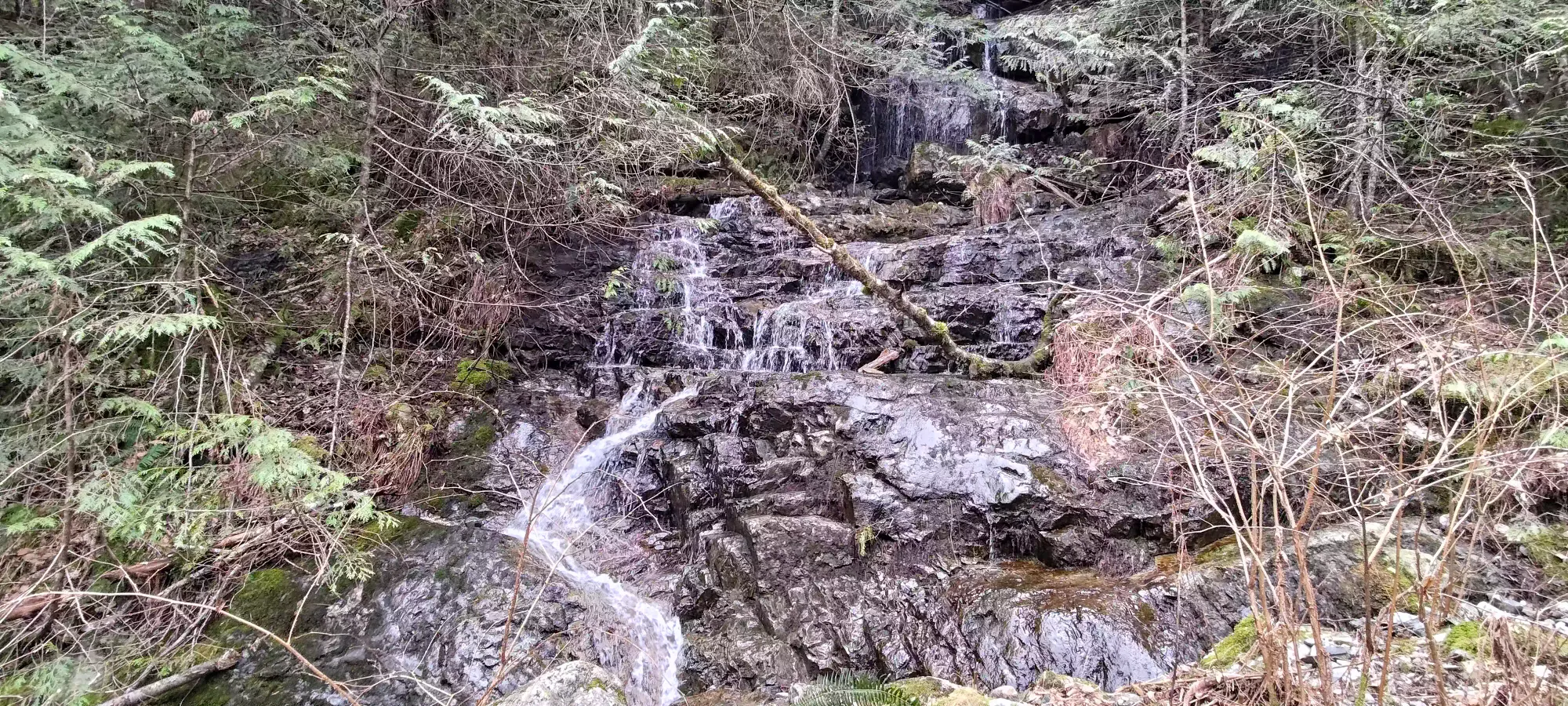
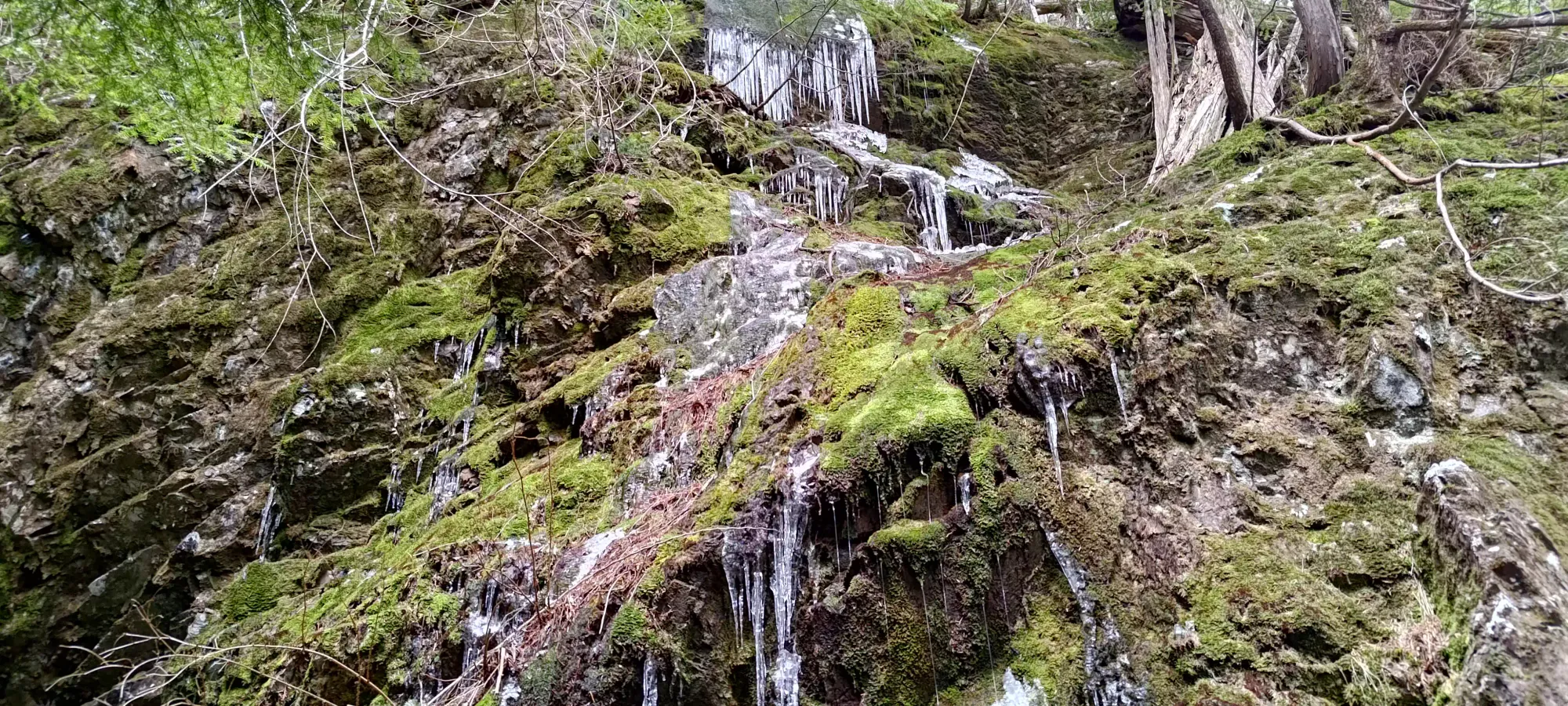
Various waterfalls en-route
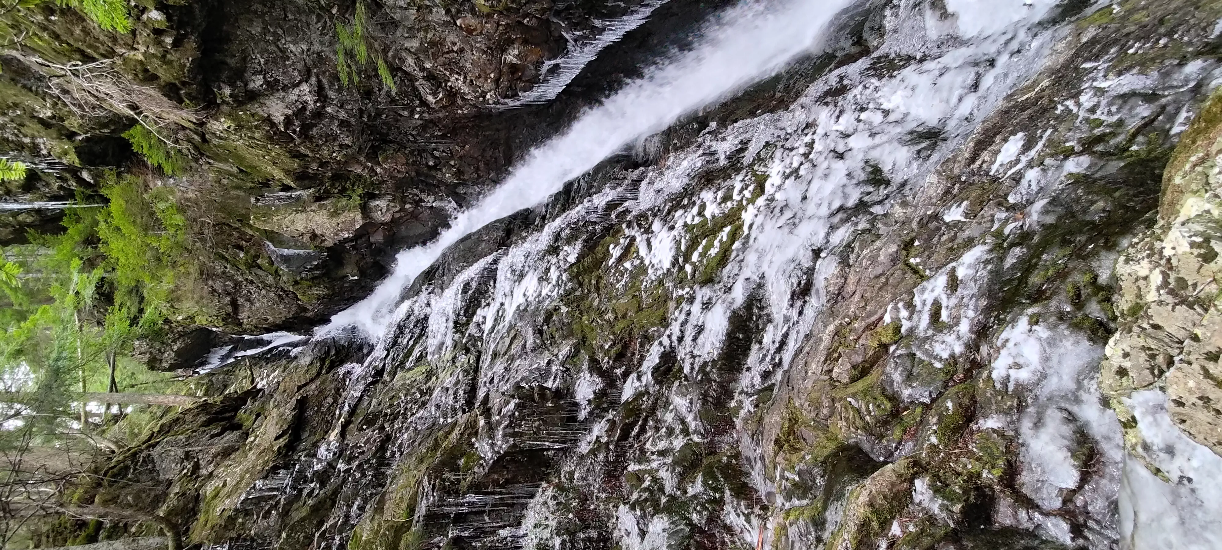
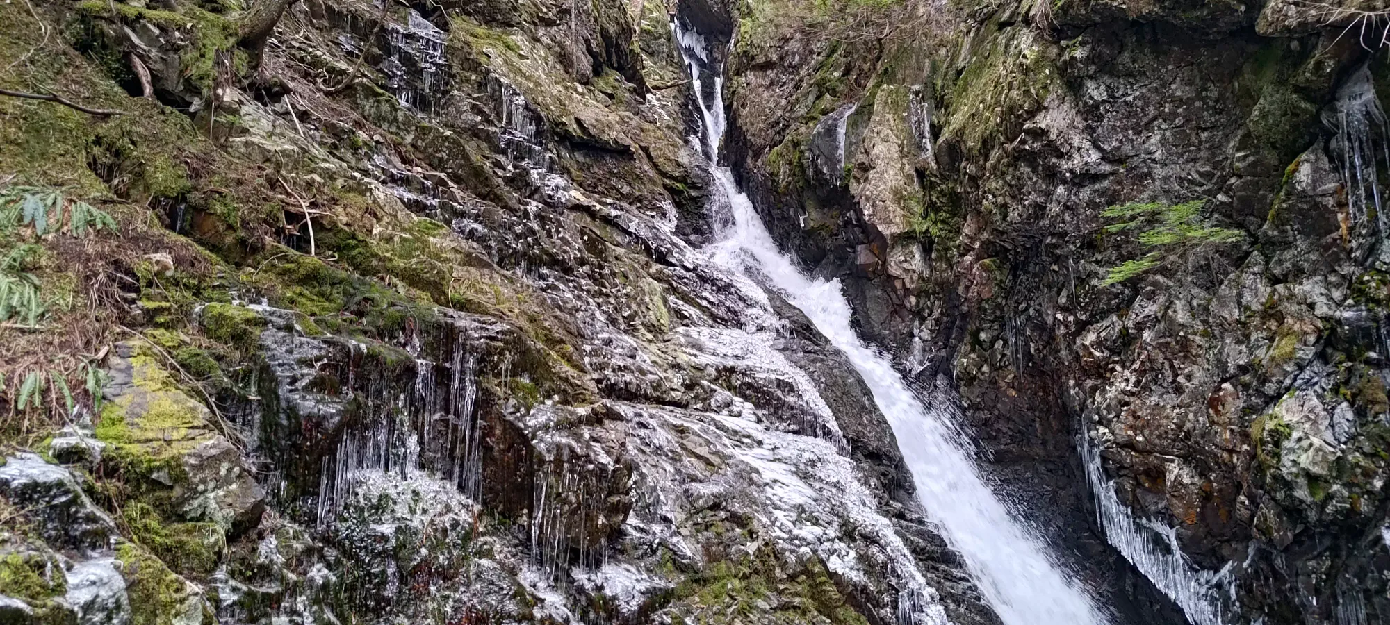
Waterfall was really going at it
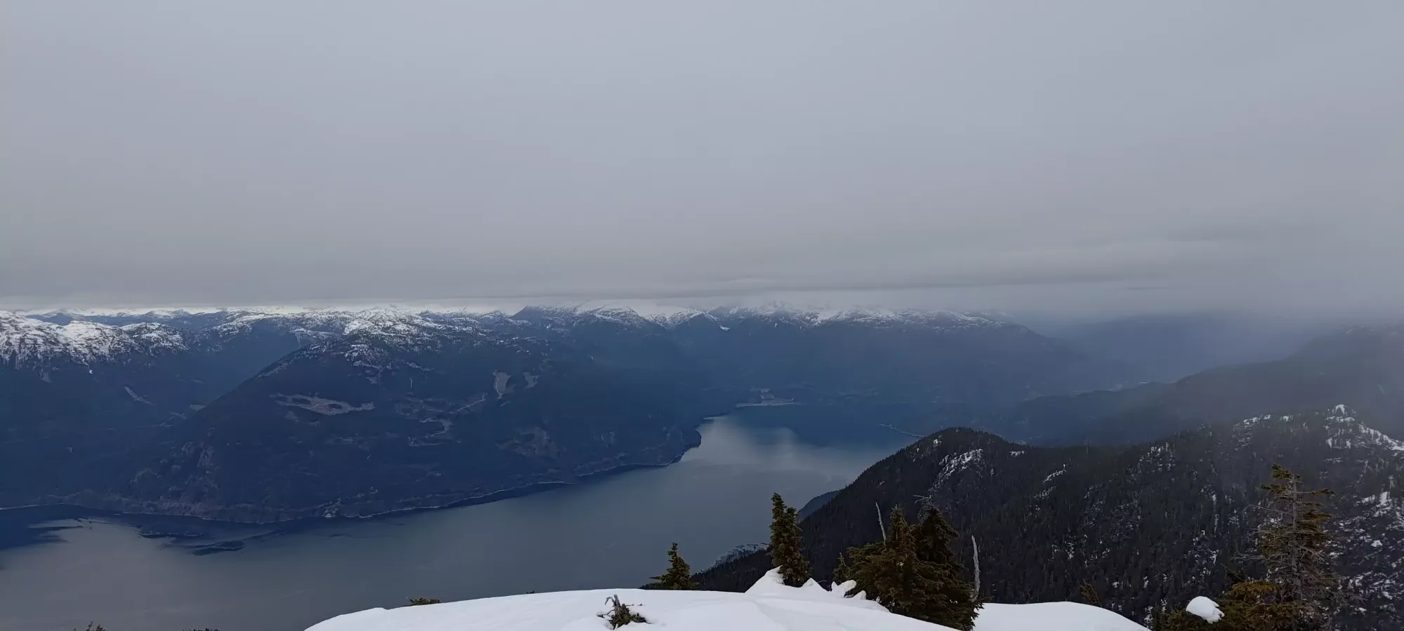
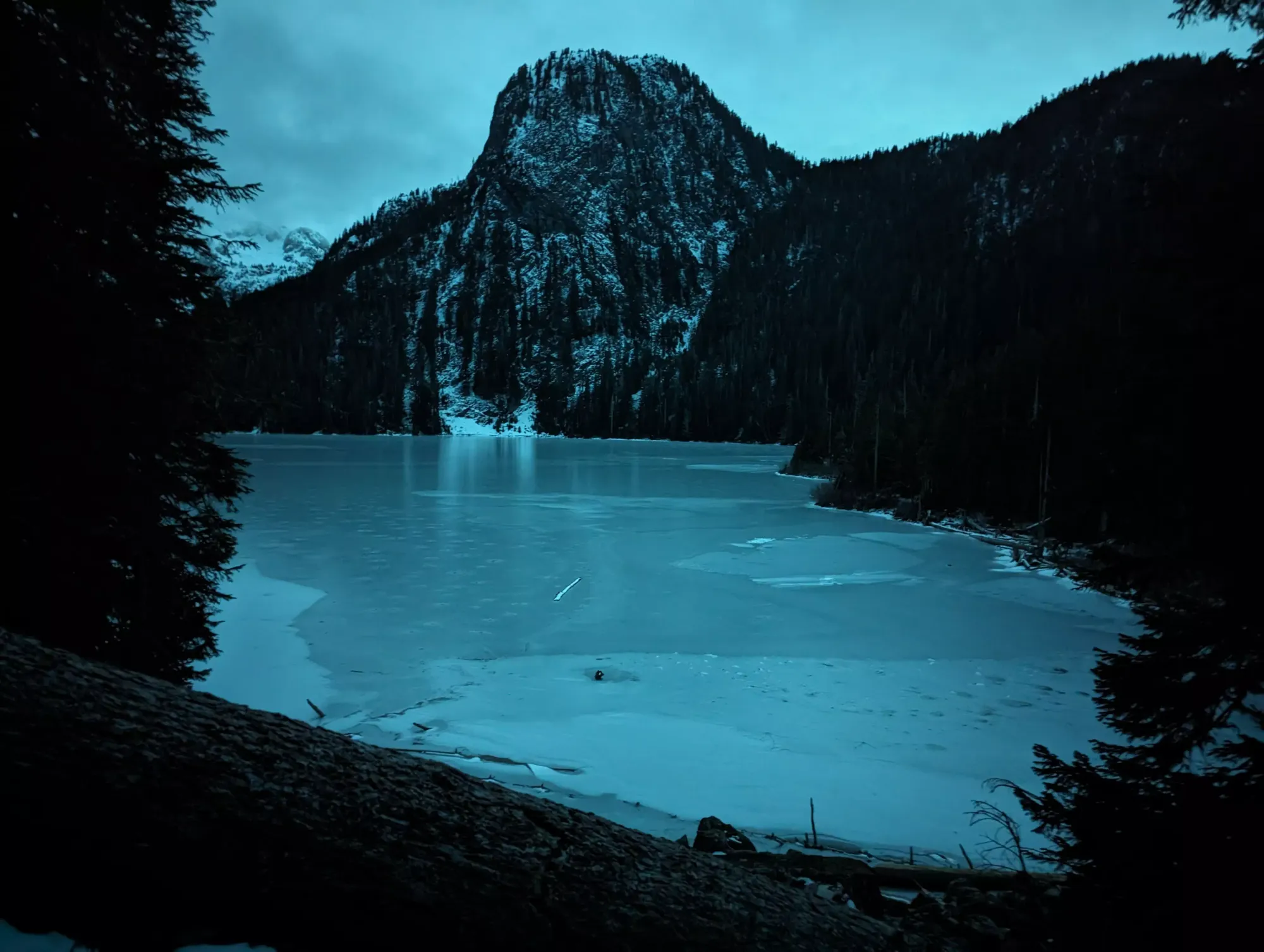
The lake was quite pretty, and even frozen enough to walk on, though barely so (not a recommendation, more of an observation). I think there may have been some skate marks, but I can't be sure if they were just cracks instead 😅. It was cool to see the bare ice though, usually we just see frozen lakes covered in snow, but with the melt/freeze this season, we got to see the frozen water before it got covered in more snow after the previous melt.
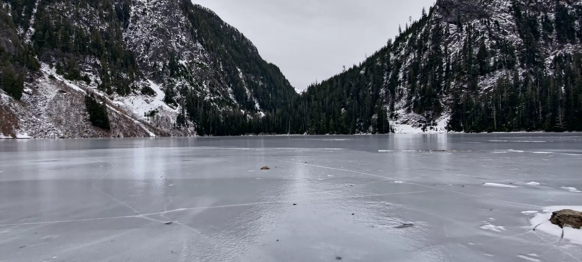
Slopes of Deeks and Windsor over the lake
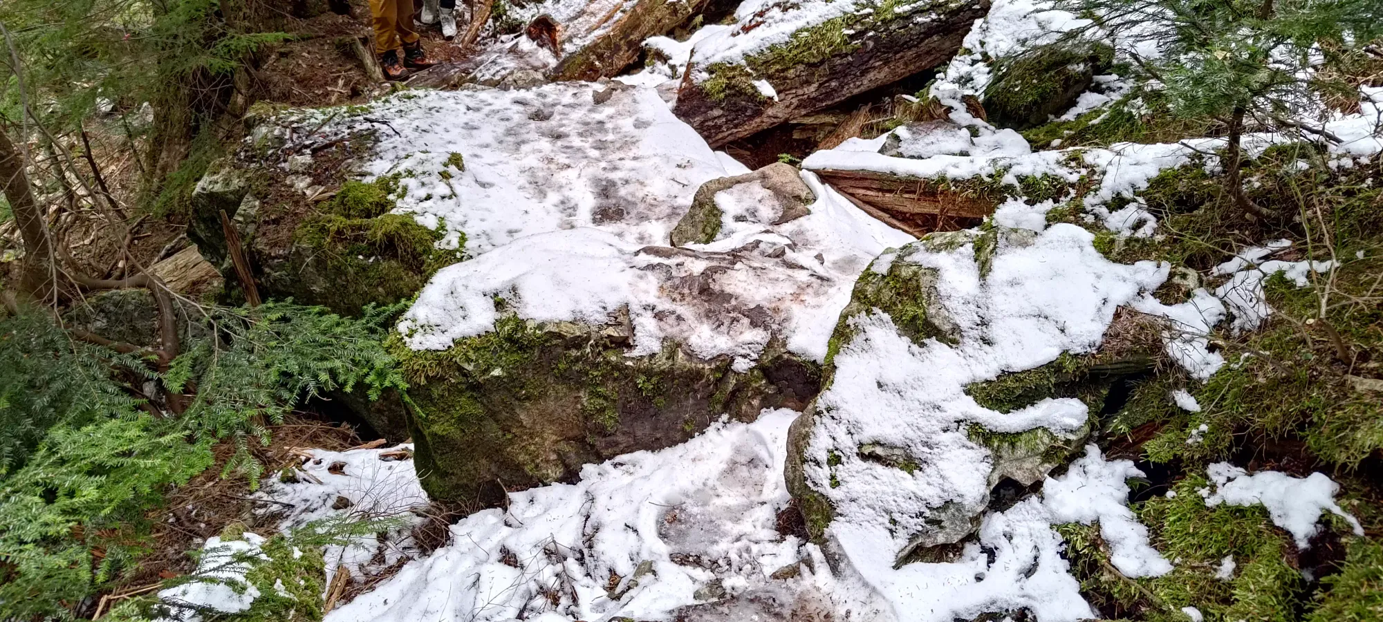
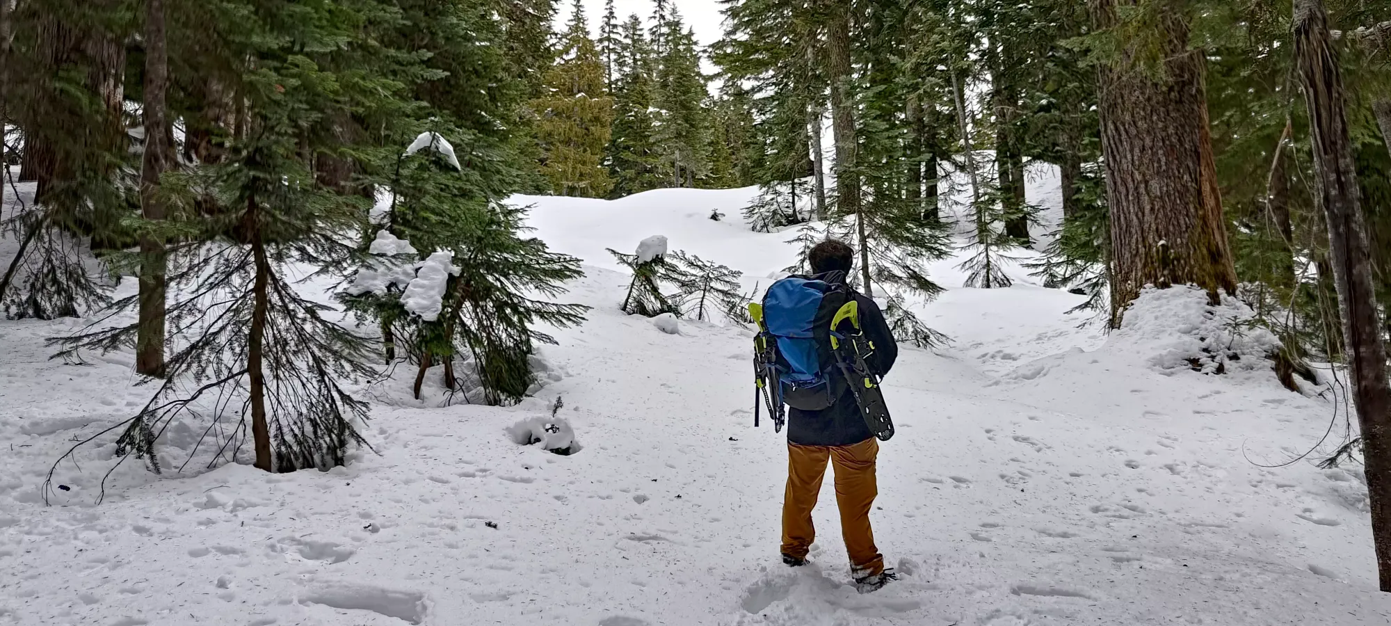
Logan and I left the lake at 1:35pm with a sense of urgency, and hurried around the lake and up the small boulder field before the forest continued up the northern shores of Deeks Lake. The snow was getting a bit deeper, and with the firm and sometimes icy ground in the forest, we decided to bust out spikes about 10 minutes in. One should probably just wear 'em from the lake, really.
My times after this point are all messed up because I apparently hit pause on my watch by accident, so I only have some rough ideas based on taking pictures. About 70 minutes after leaving the lake, we found ourselves just below the fork between Deeks and Windsor's trails, and decided to strap our snowshoes on, as the last minute or two had been a bit deeper, and it was opening up, so the snow depth was going to increase. I was worried I'd hauled them up for nothing, so it was kinda nice to justify the effort.
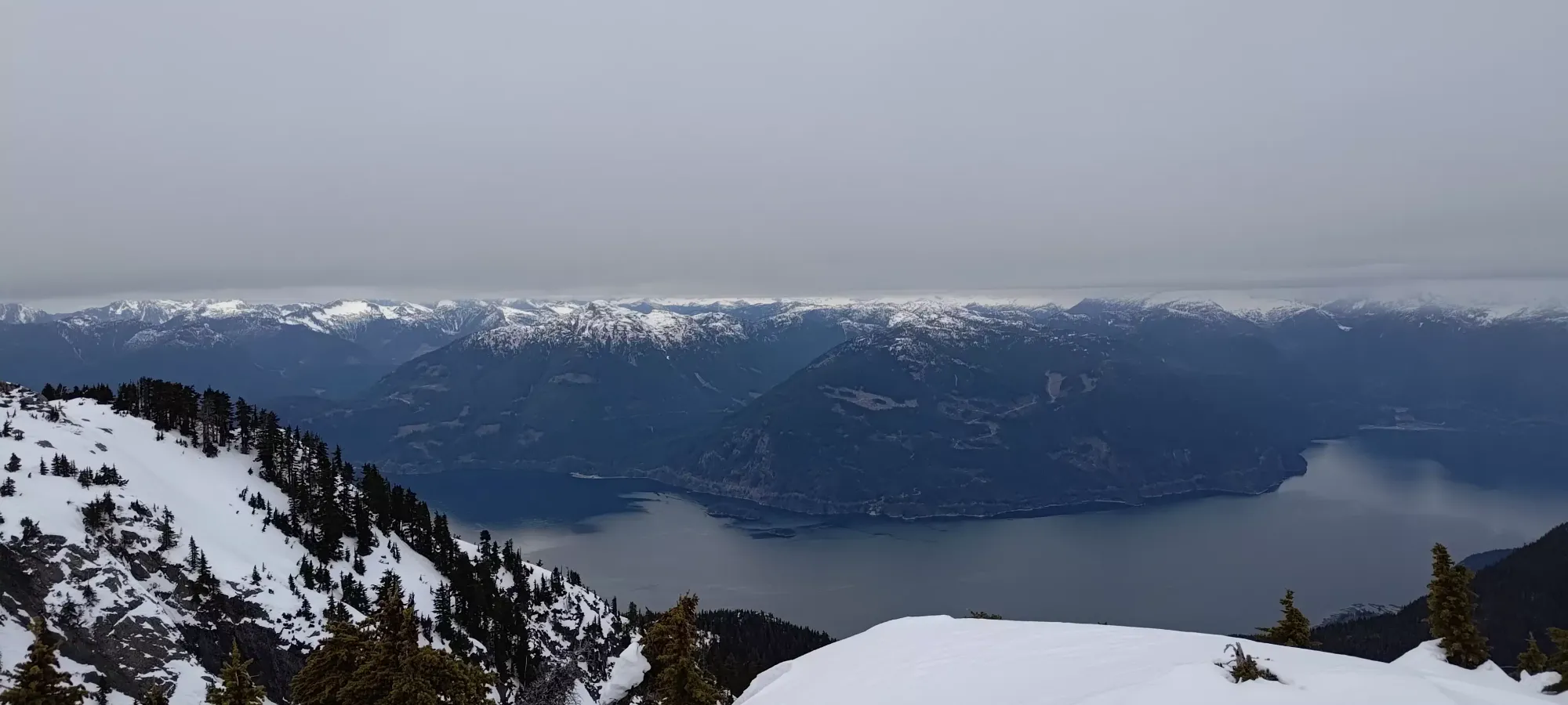
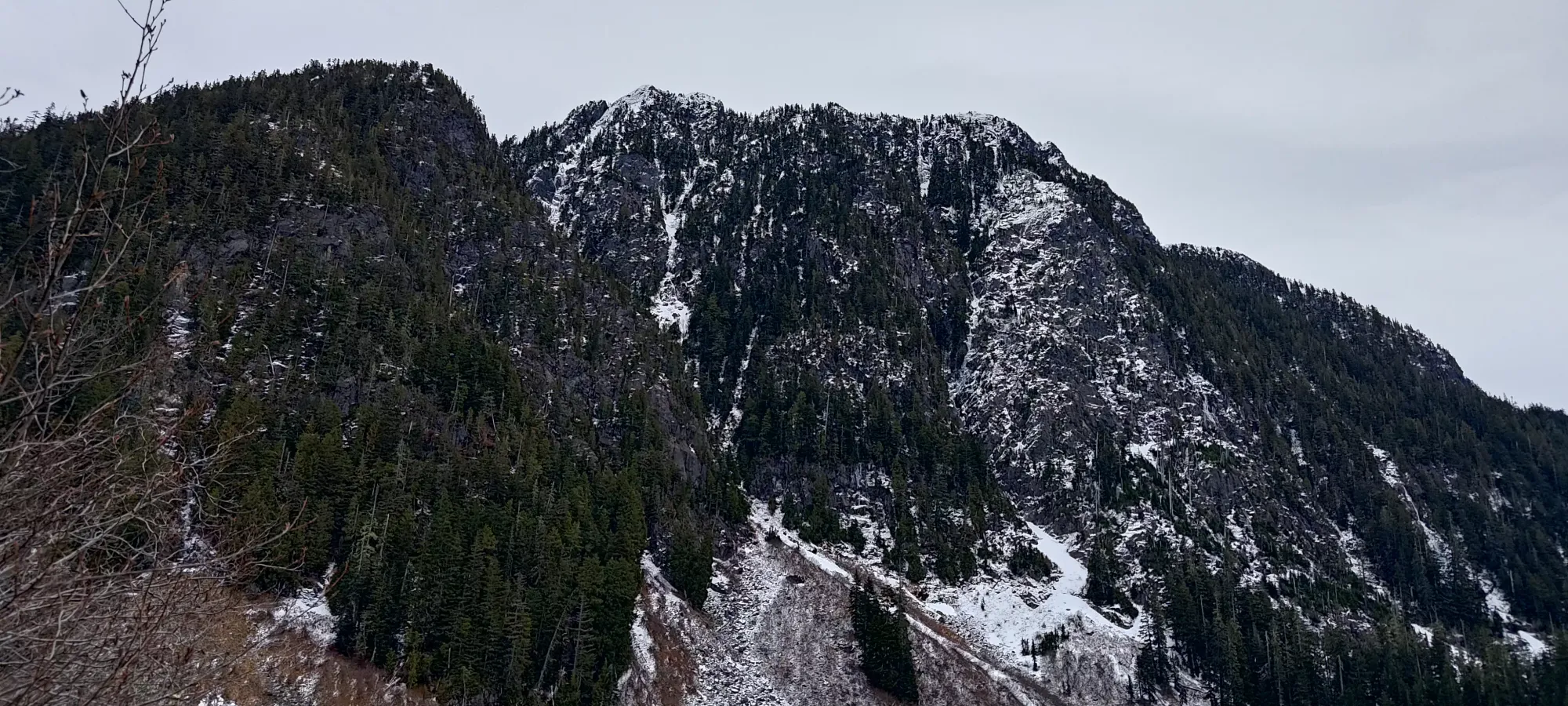
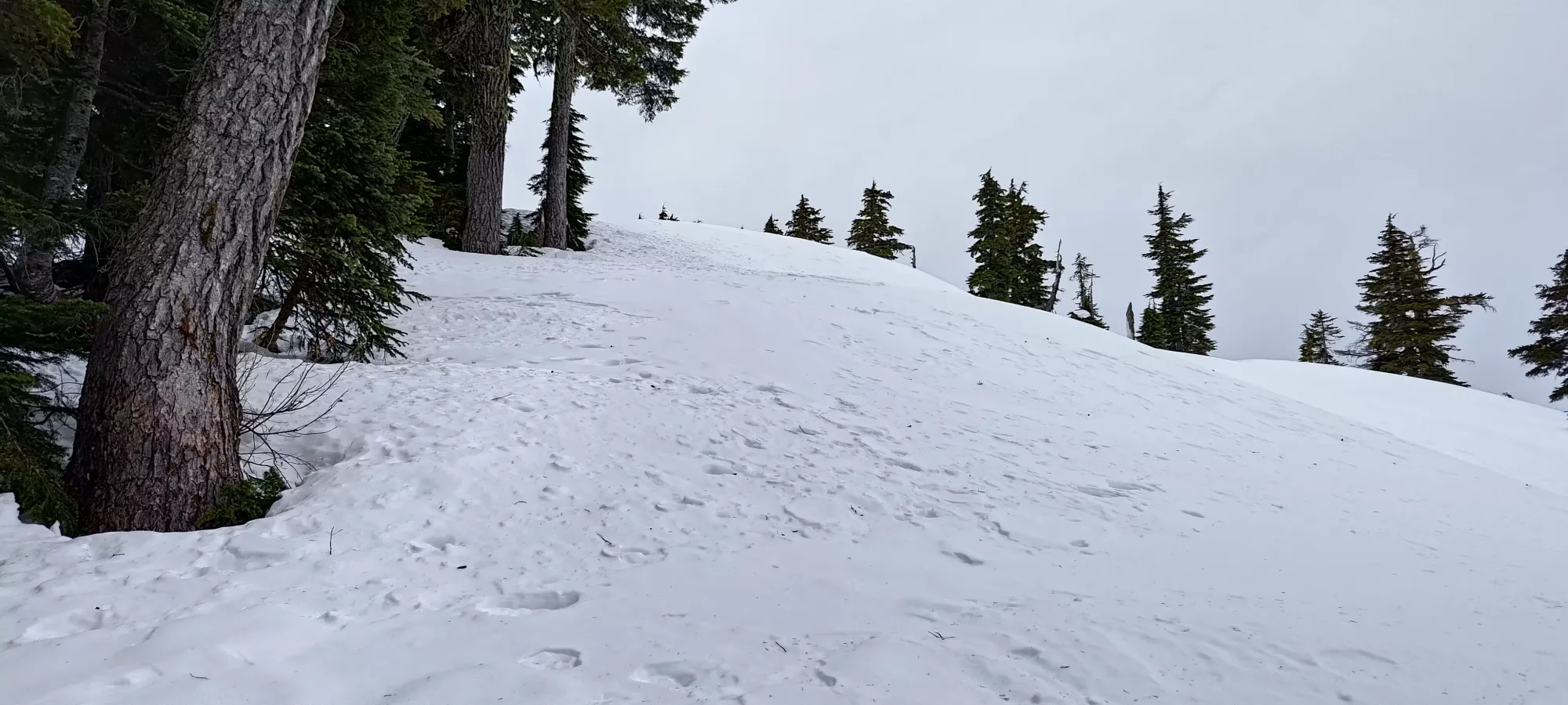
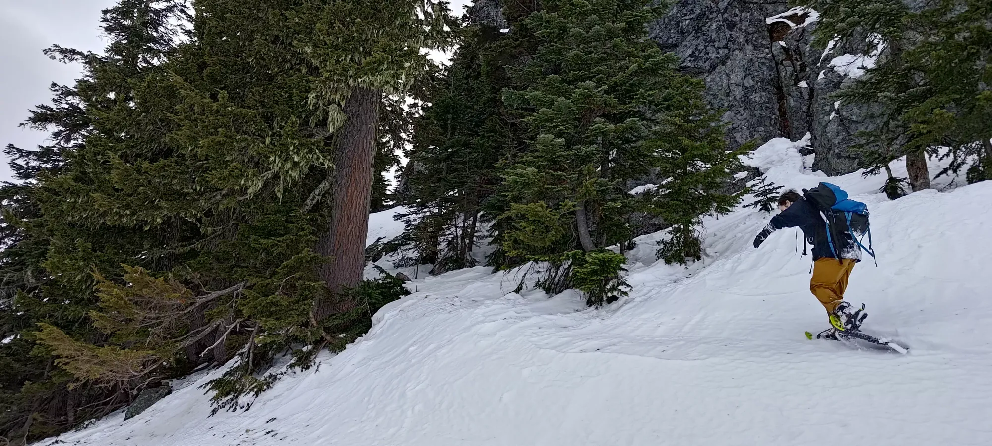
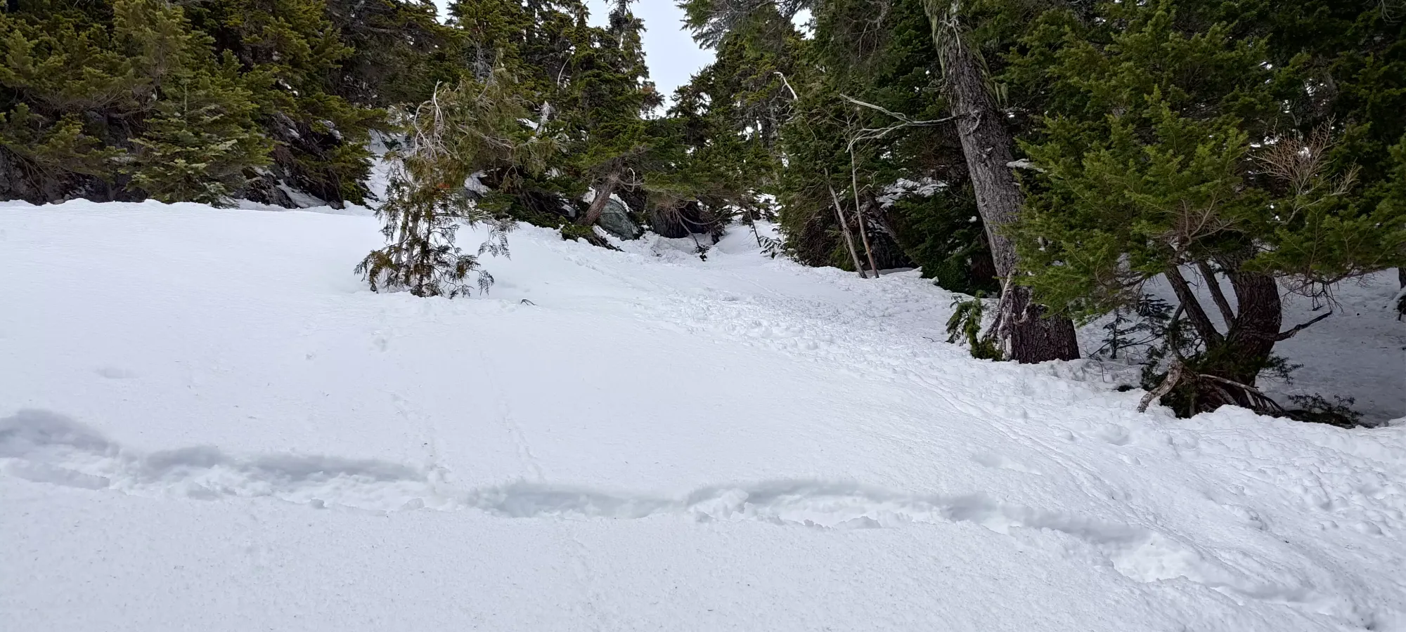
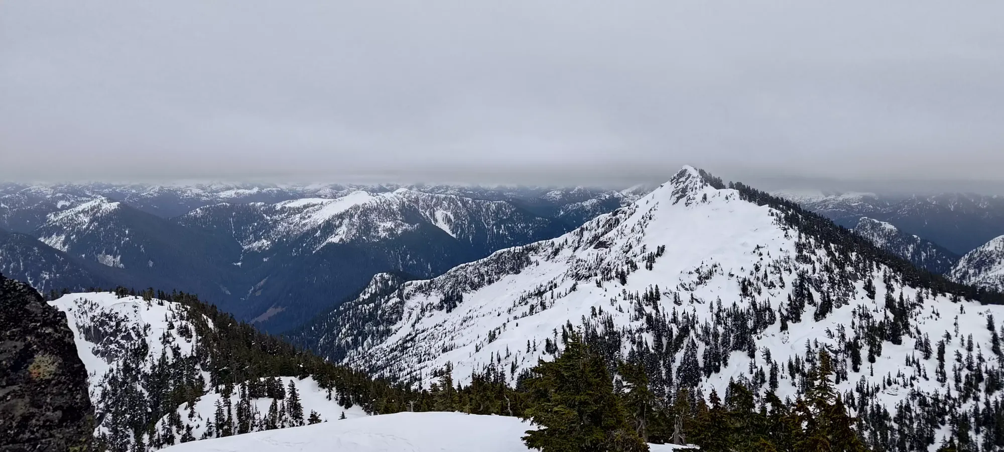
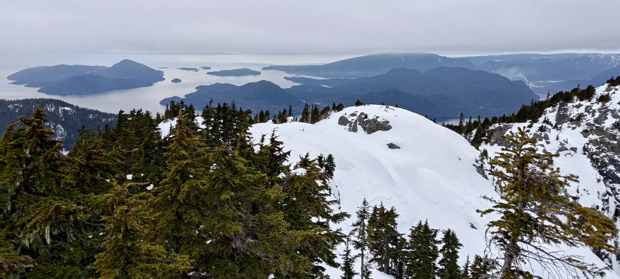
After strapping the snowshoes on, we started winding our way up to the E ridge of Deeks Peak, winding up in the vague vicinity of the flagged/marked trail, but also taking some liberties to choose easier terrain "because winter". In about 20 minutes, we got up to the ridge, and got to see the first views of the surrounding mountains.
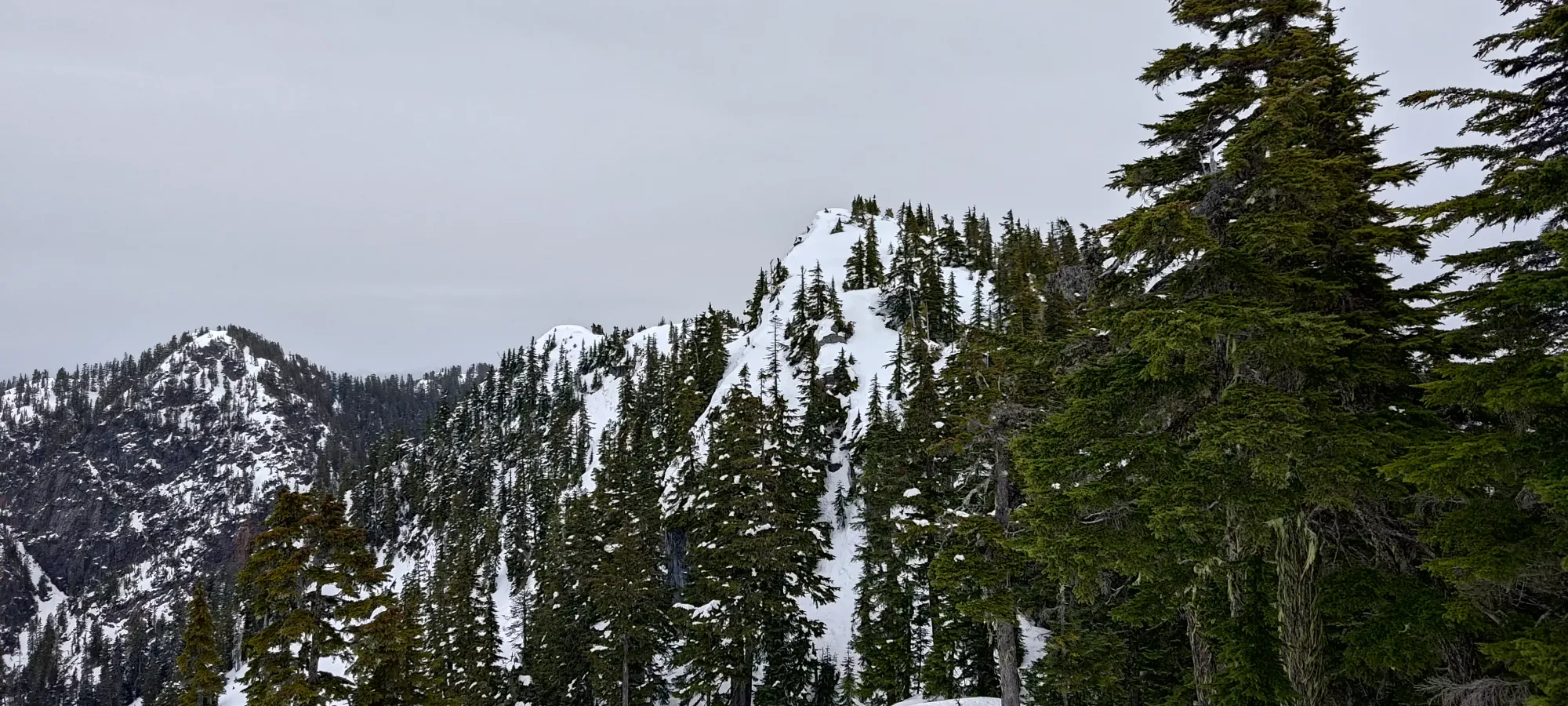
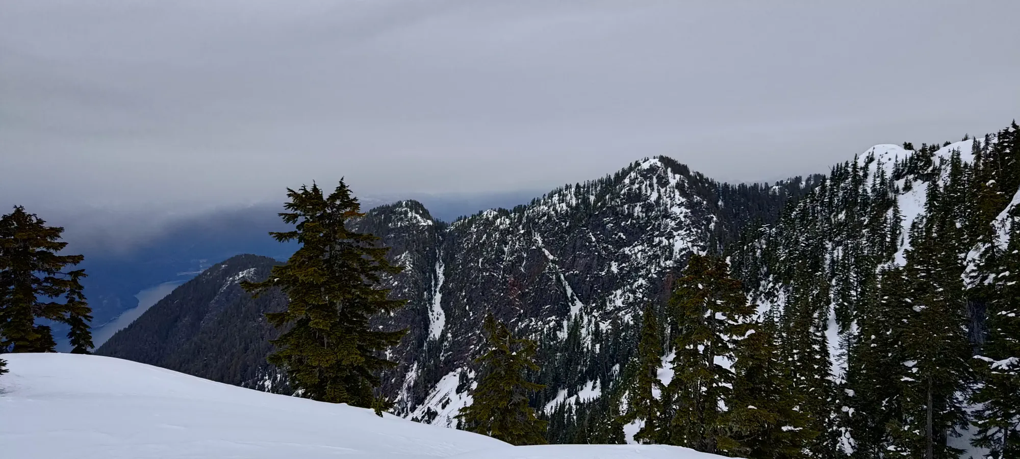
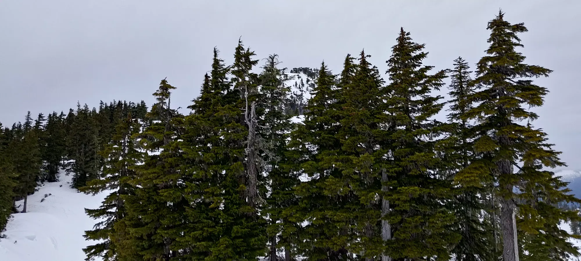
The ridge was a mix of very easy walking and rather difficult navigation of cornices and steep bluffs/forest. In particular, we had to climb up one cornice which decided it would stay nice and intact for Logan but collapse on me multiple times. I was walking in my baselayer at the time as well without gloves, so I got absolutely soaked and cold, so we had to spend a few minutes layering me back and up and thawing before continuing 🙃. Stupid cornice. It did grant us passage to the notch which we were the most concerned about looking from below, so that was half of the hard part done.
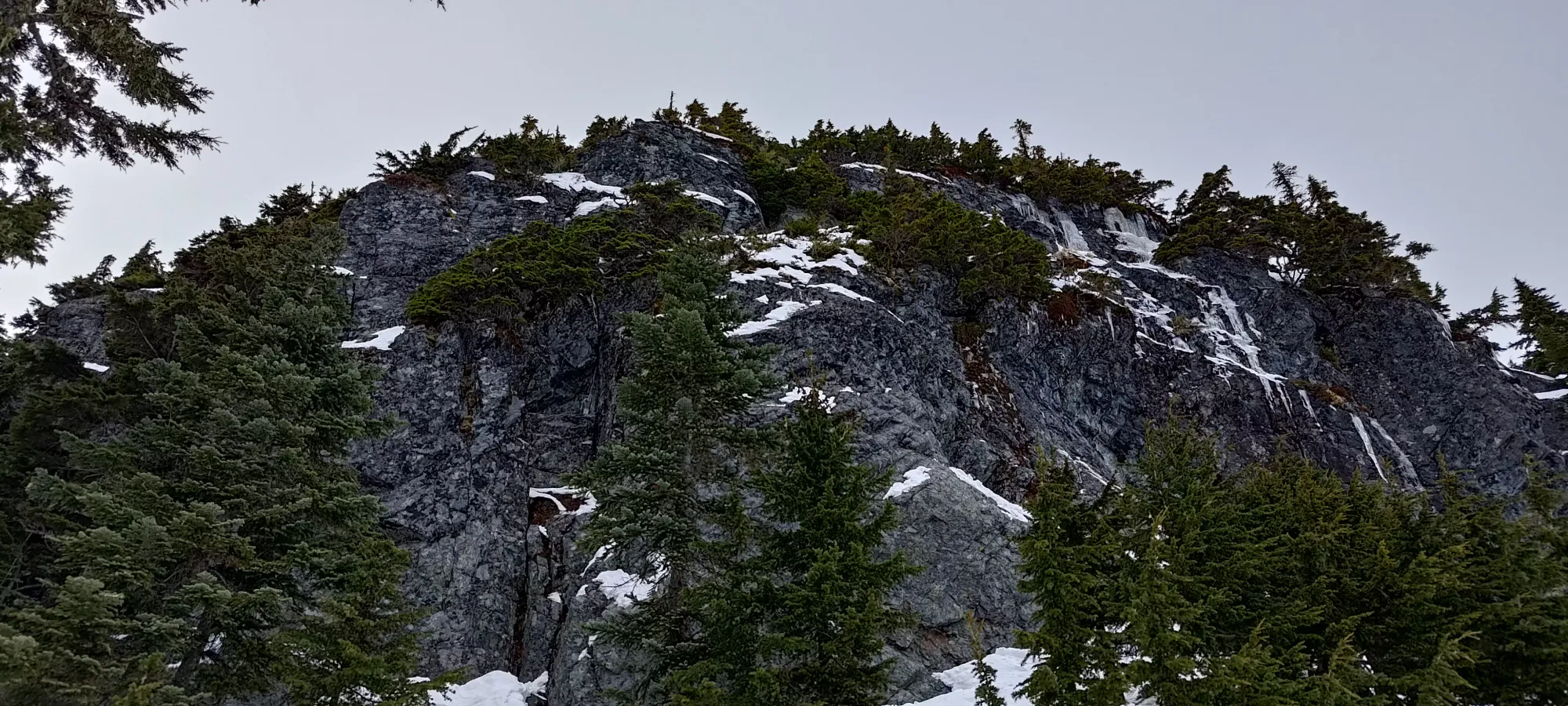
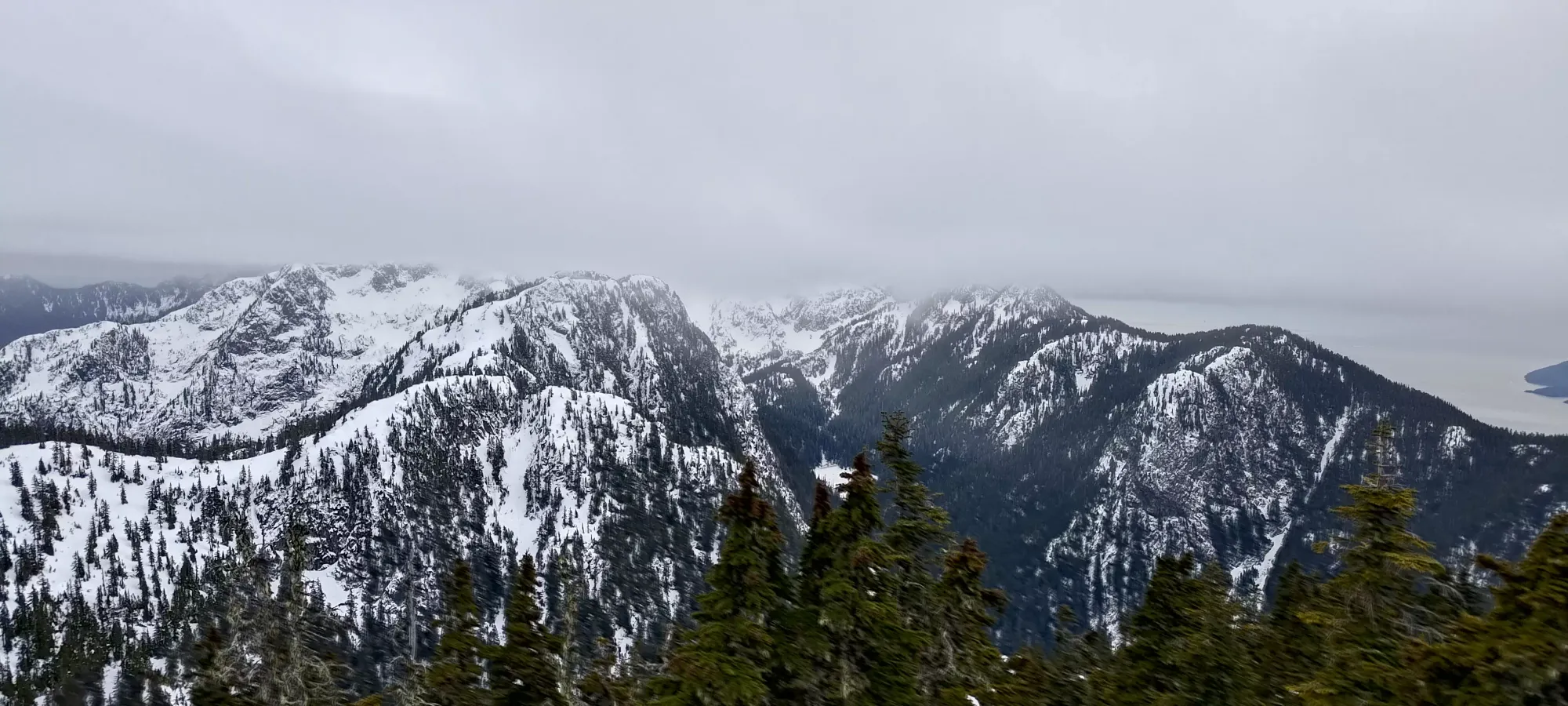
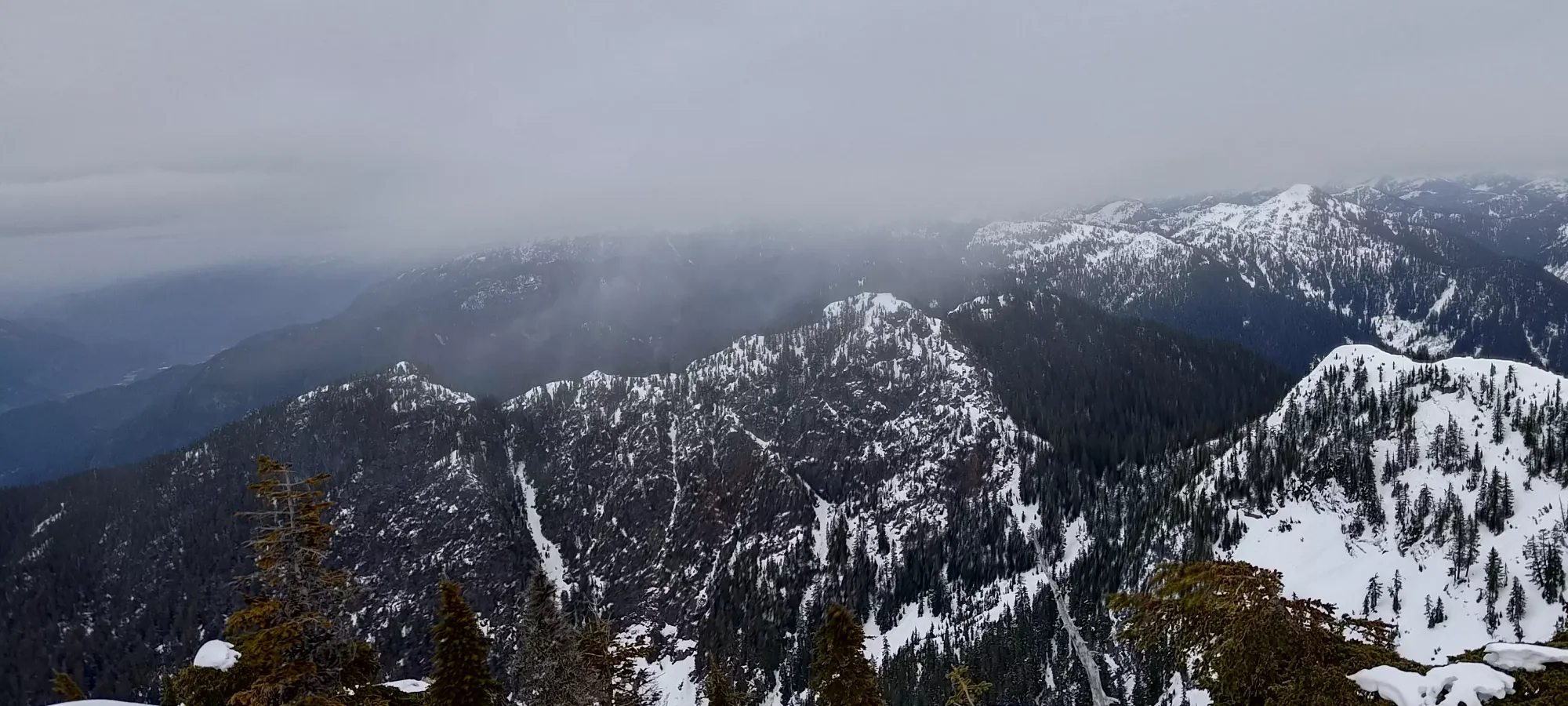
Since we couldn't climb the face on the other side of the notch, we contoured below it on the south side. It was mostly just walking without much difficulty, except for one section where the rock below was steep and slabby, and the snow cover quite thin. This was the crux of the route, as a fall would tumble you down far enough to not die, but still get injured smacking into some trees, which is, of course, not great. We took our time traversing here, and were eventually rewarded with a nice looking gully on the other side that would bring us to the summit block.
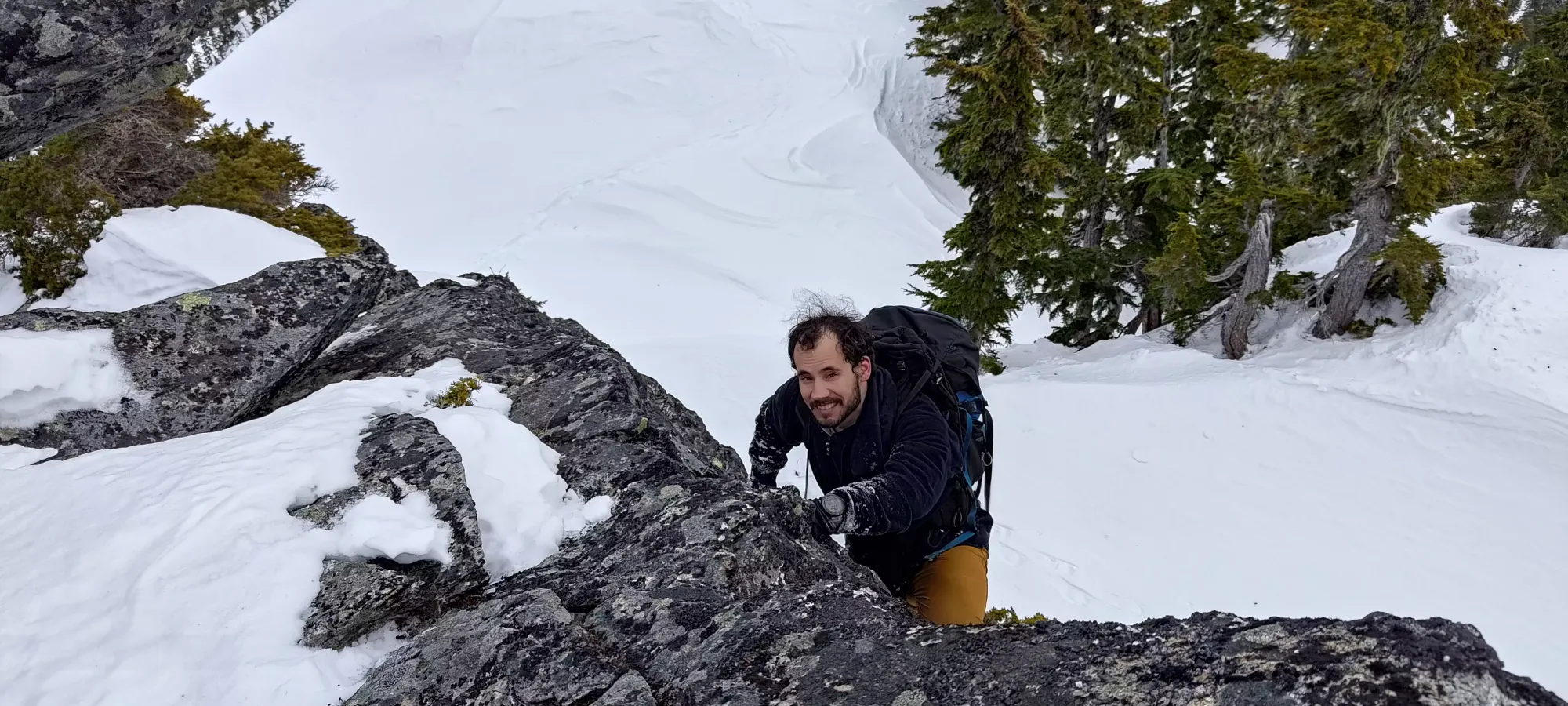
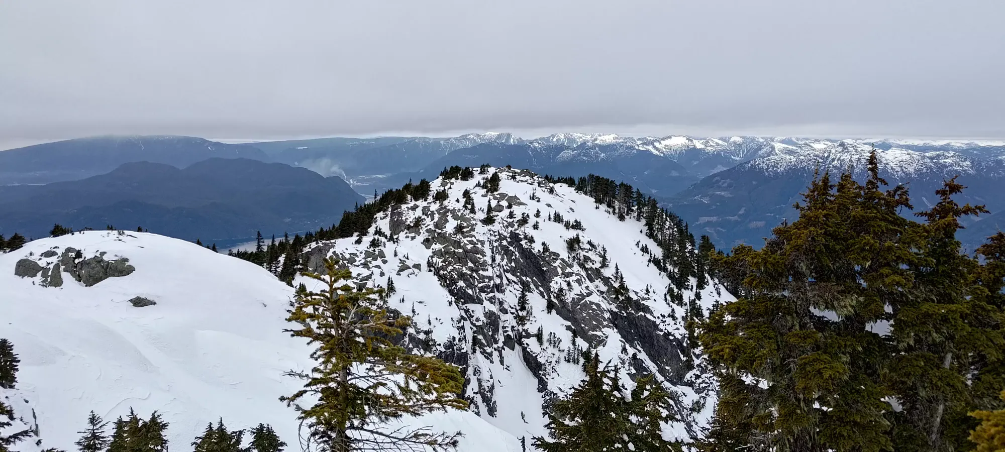
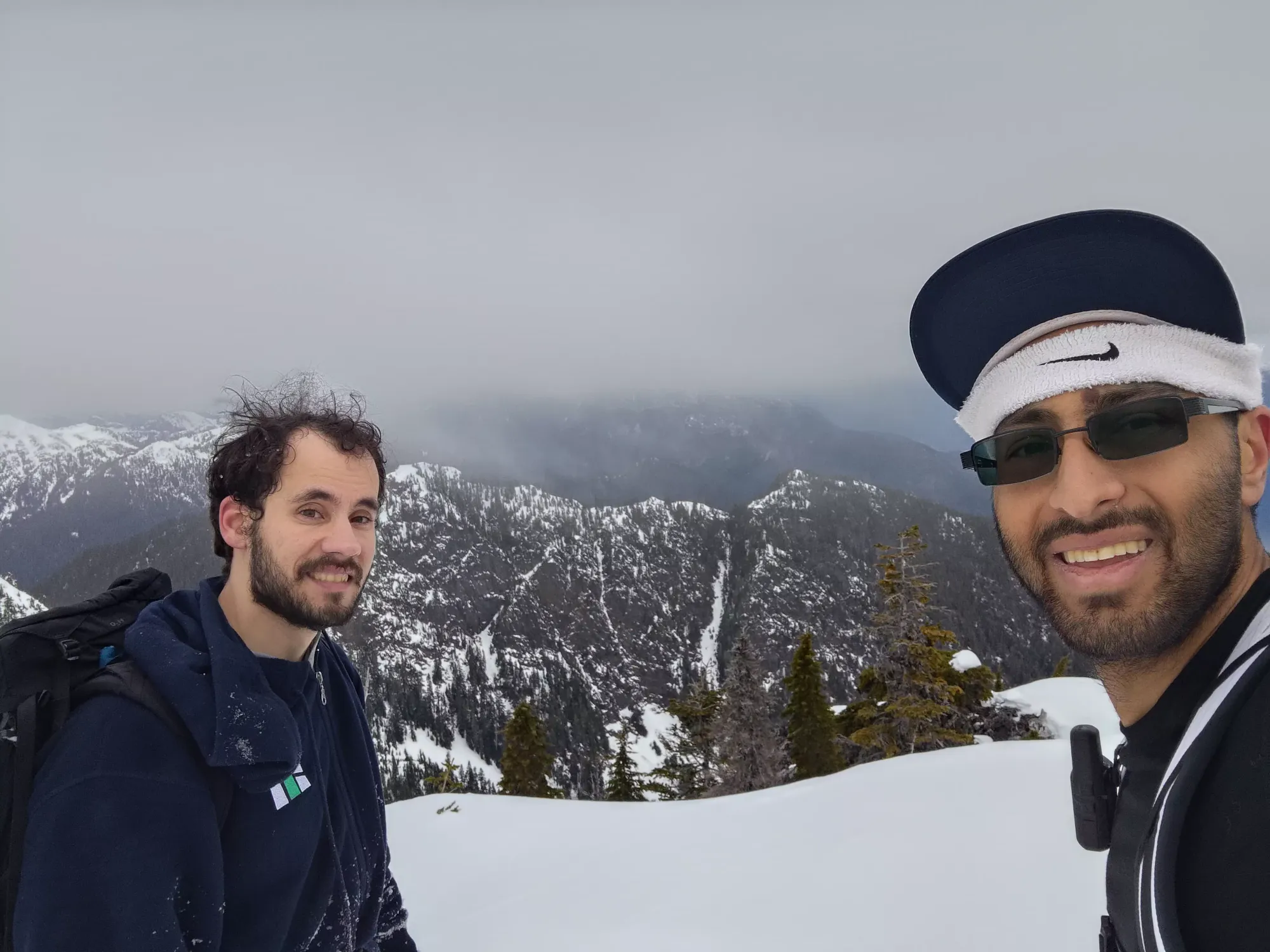
Once we got out of the gully, it was a few scramble moves up to the summit. We ditched our snowshoes on the first rocks, and did a few class 3 moves to the top, which we arrived at just before 4:15pm (navigating the obstacles on the ridge took time). We took a couple pictures and started moving, given the hour (we weren't concerned about the terrain below the ridge in the dark, but also didn't really want to be out all night).

The descent off the peak was uneventful, with the only real event of note being that I bothered taking my headlamp out at around 6:00pm or so. It wasn't strictly necessary for those wondering about light conditions this time of year, but it definitely helped make out the trail in the thin snow. We got down to the lake in about 2 hours.
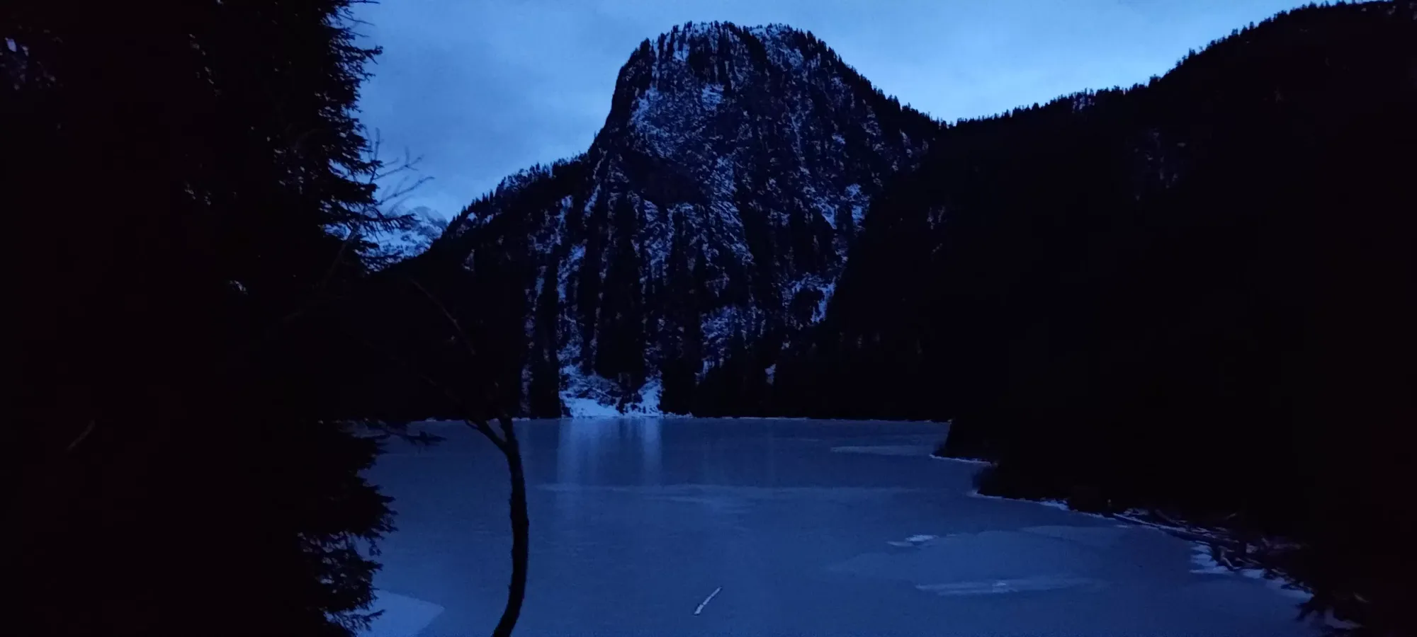
Camera comparison. Logan's picture on the left, mine on the right. Mine reflects the light conditions more accurately, but his definitely has more detail. Wish I could combine the two
Once we got back to the lake, we packed up the makeshift camp we'd set up, got our packs fully loaded again, and started the descent. Sadly, the descent was also quite slow. It was a bit easier for me to justify in the icy spots, but once we got onto easier terrain, it was still pretty slow, and after about 1.5 hours, we got from the lake (1050m) to 665m, covering a bit under 2km. It was around 8:30pm at this time, and I wanted to get back in town in time to get dinner before everything closed, since I had to get up early and ski the following day. So, I bid my friends farewell and started hiking down in earnest. I got the rest of the way down in an hour, covering the remaining ~6km and descending to the parking lot at just under 100m elevation; managing to get back in time to order something before most places in Squamish close (10pm at the latest except for fast food joints and a couple bars), so mission success!
I'd say this peak works fine in winter, and you get some cool views and all, but I don't know if I'd outright recommend it. The ridge is much harder to navigate, the access sucks unless you get it melted out like we did, and generally "there's usually more interesting stuff to do". But if you have touchy conditions in other areas, and an easier approach like we did, then hey, why not.
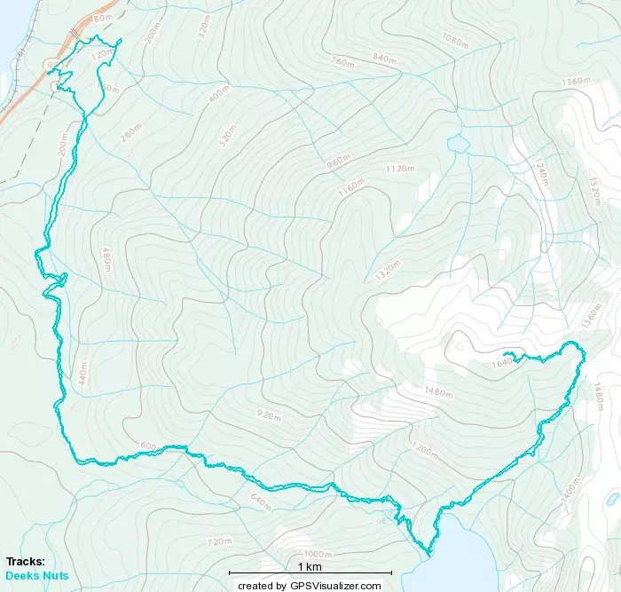
GPX Track + Map