Kilohana (Mauna Kea area) - January 11 2024
One of a group of 3 "consolation peaks" near the Mauna Kea Visitor's Centre you can bag if the road up is closed

Big Island, Hawaii, USA
2947m
This trip report picks up from that of Pu'u Kalepeamoa, the first peak in the triple-bag I decided to do after being denied uphill travel on the road to Mauna Kea. At the bottom of the gravel road on the west side of the Mauna Kea access road, or about 2800m in elevation, my dad headed back towards the visitor's centre to relax and get out of the biting wind (gusting at/near 100km/h), and I started making my way up Kilohana for my second ascent of the day.

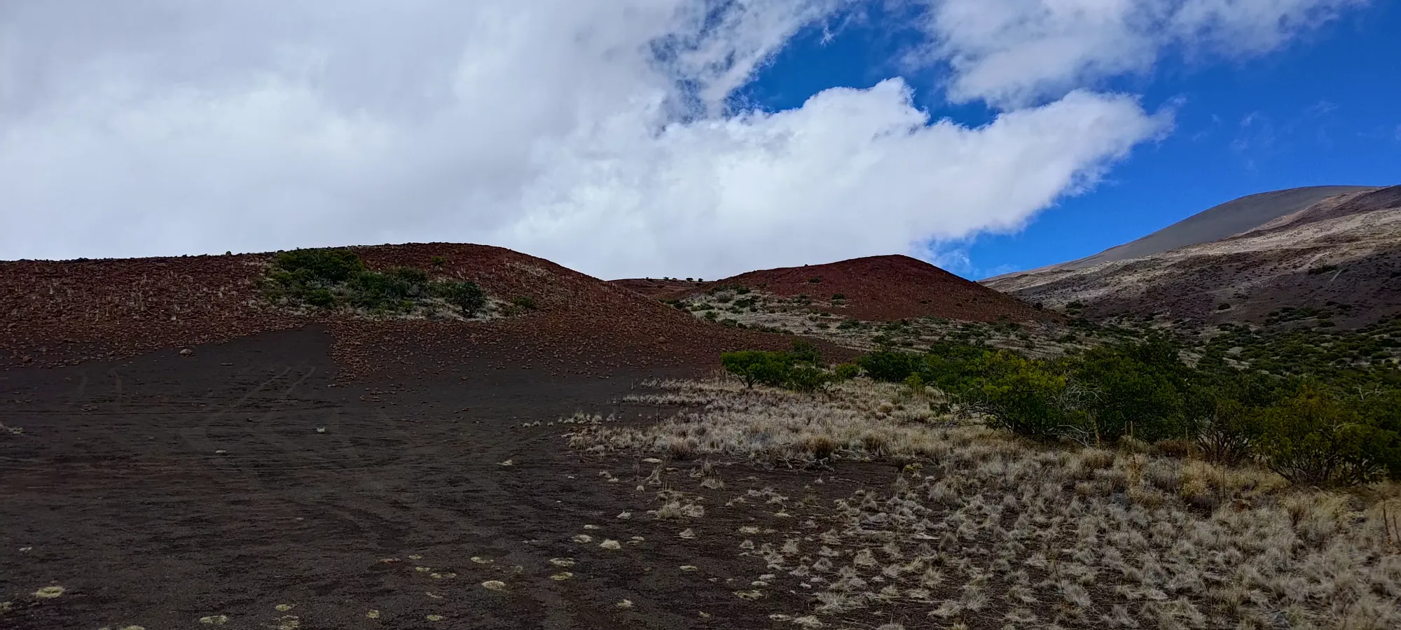
The ascent was a bit more difficult than that of Kalepeamoa previously, which was more of an old road. The first peak of Kilohana, in contrast, was more of a walk up a slightly-steep, rocky slope with a faint trail cut into it by a few intrepid peakbaggers. It still wasn't hard, though, and "not getting knocked over by wind" was definitely still the crux. Just over 5 minutes of effort, and I was on top with a large rock pile to greet me at the "summit" (it has barely 10m, if that, of prominence). I took a few pictures for the sake of it, but quickly pressed on for the higher cone.
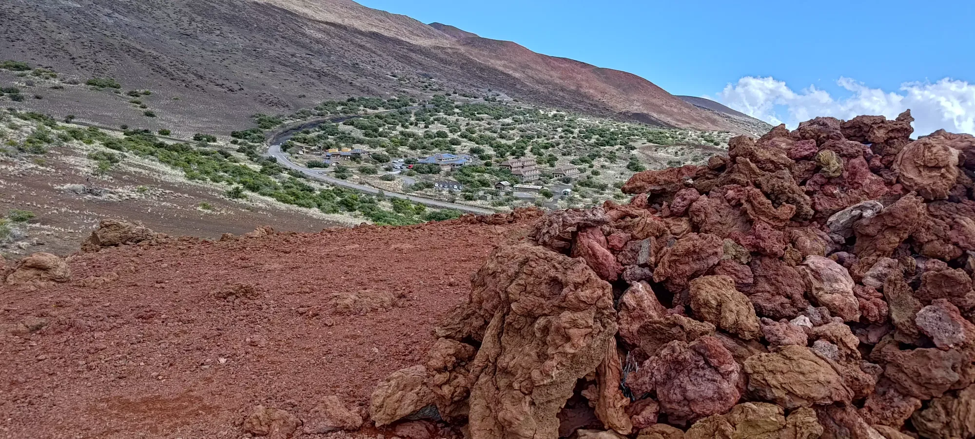


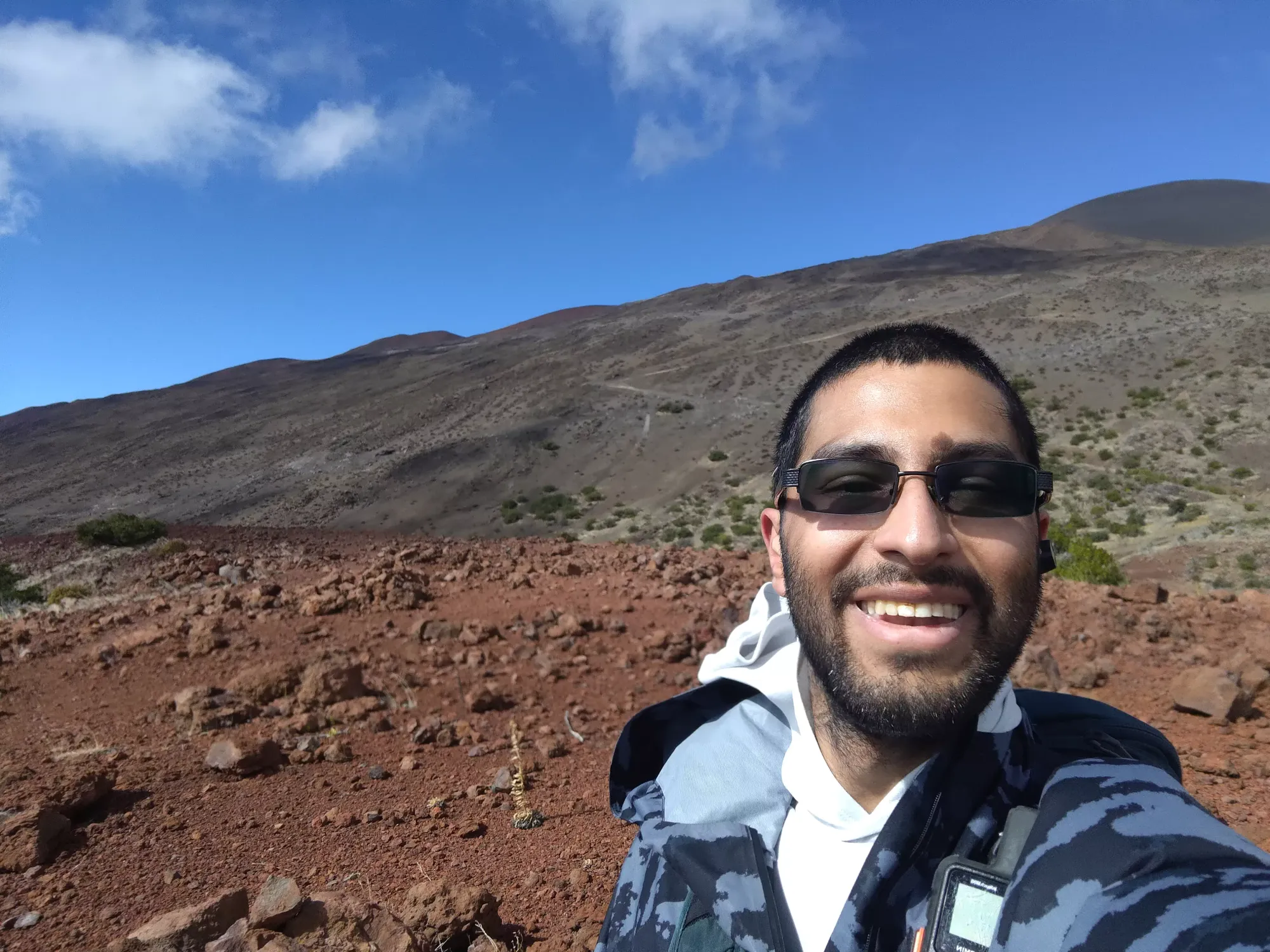
After a short walk down to the road bisecting the false and true summits, I picked up a fairly decent trail to the top of Kilohana, which felt longer than it really was, probably because of the wind I had to keep fighting. I cranked out the last ~100m of gain in about 8 minutes to get some decent views of the surrounding plains.
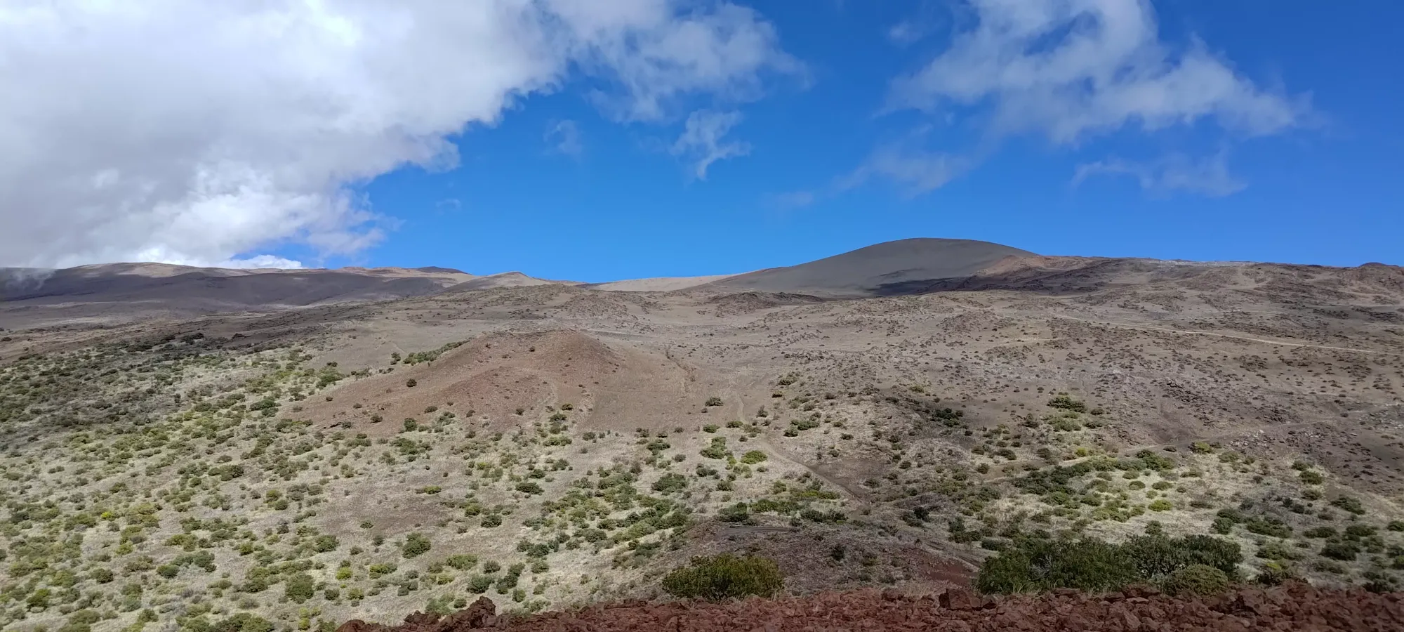
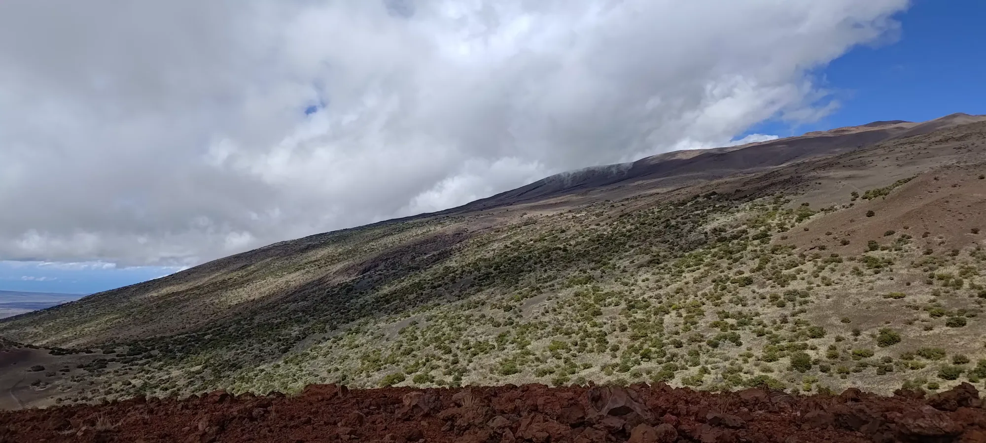
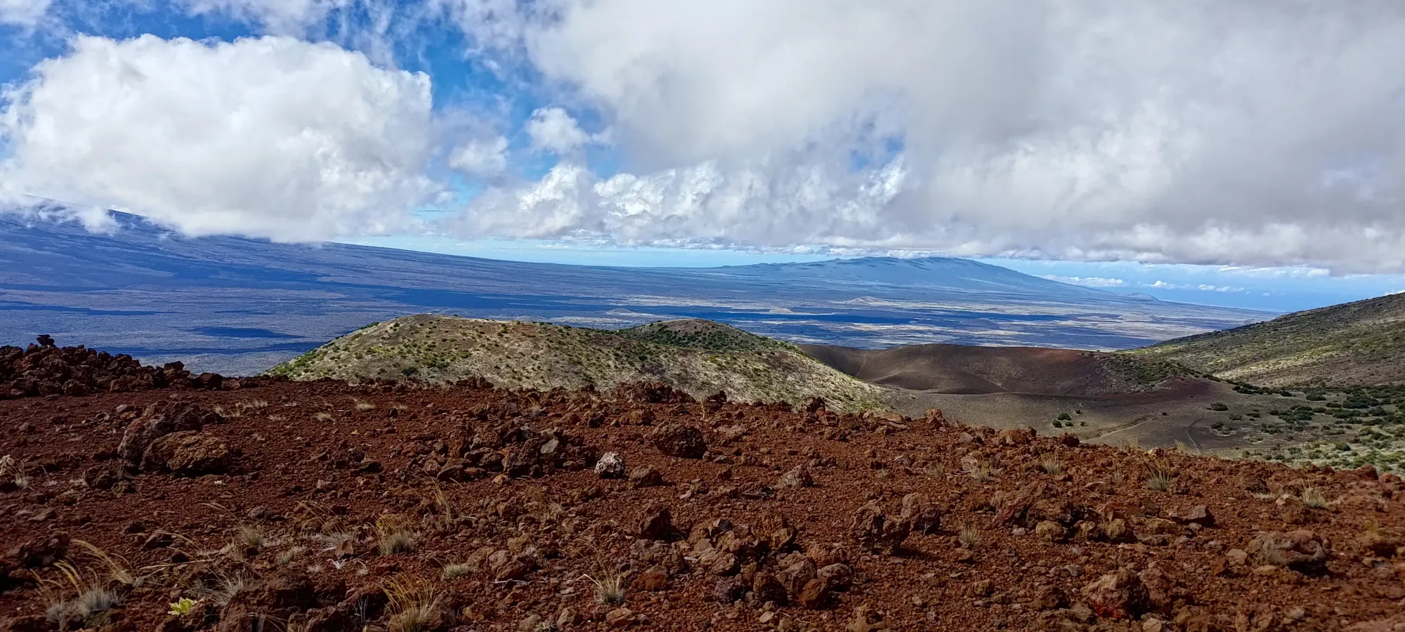

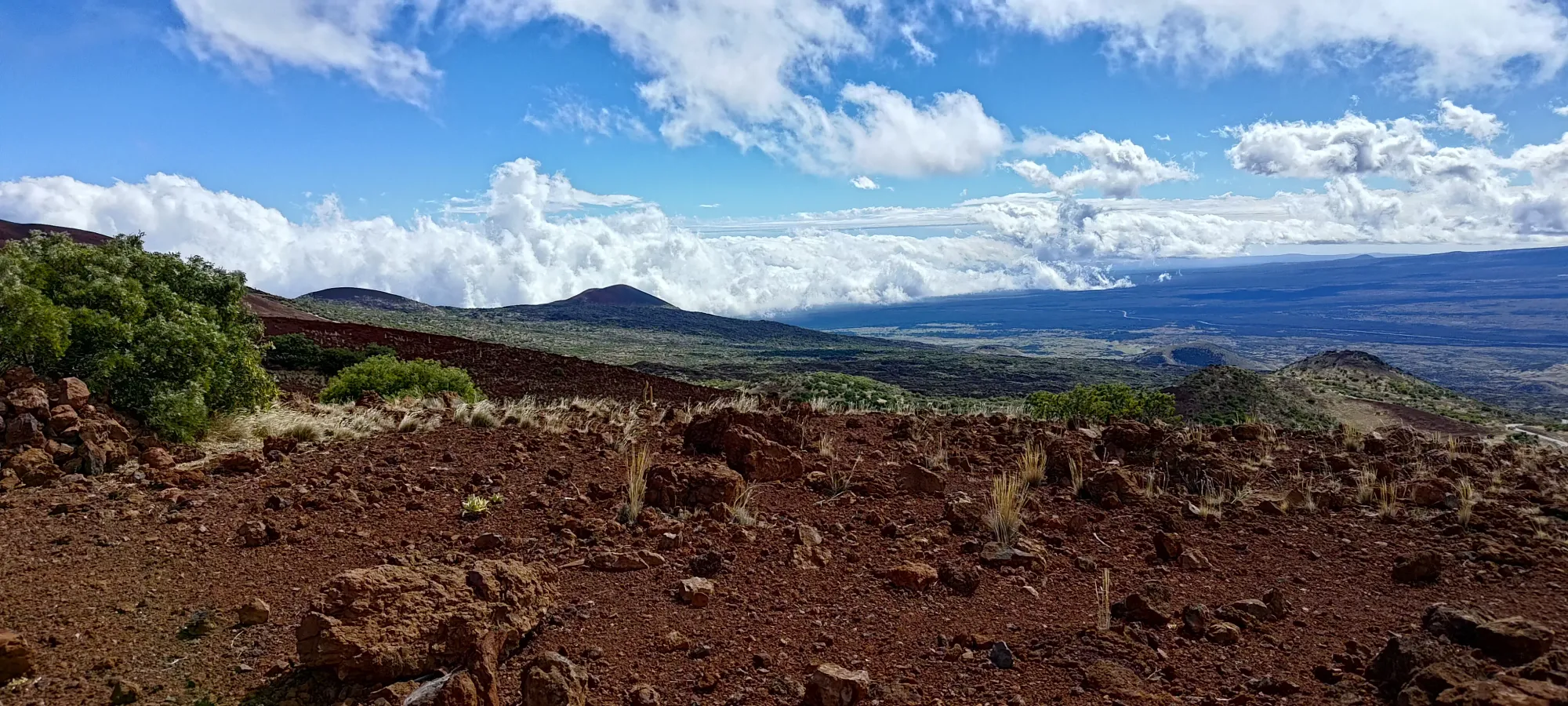
Nothing too specific to note up here, just a lot of open plains on the slopes of Kea and Loa, with some cinder cones lying about to spice things up
With the summit attained, I turned my attention to the last of the 3 peaks in the area, Haiwahine.
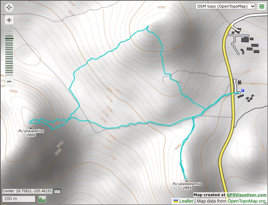
GPX Track + Map