Pu'u Kalepeamoa - January 11 2024
One of a group of 3 "consolation peaks" near the Mauna Kea Visitor's Centre you can bag if the road up is closed

Big Island, Hawaii, USA
2863m
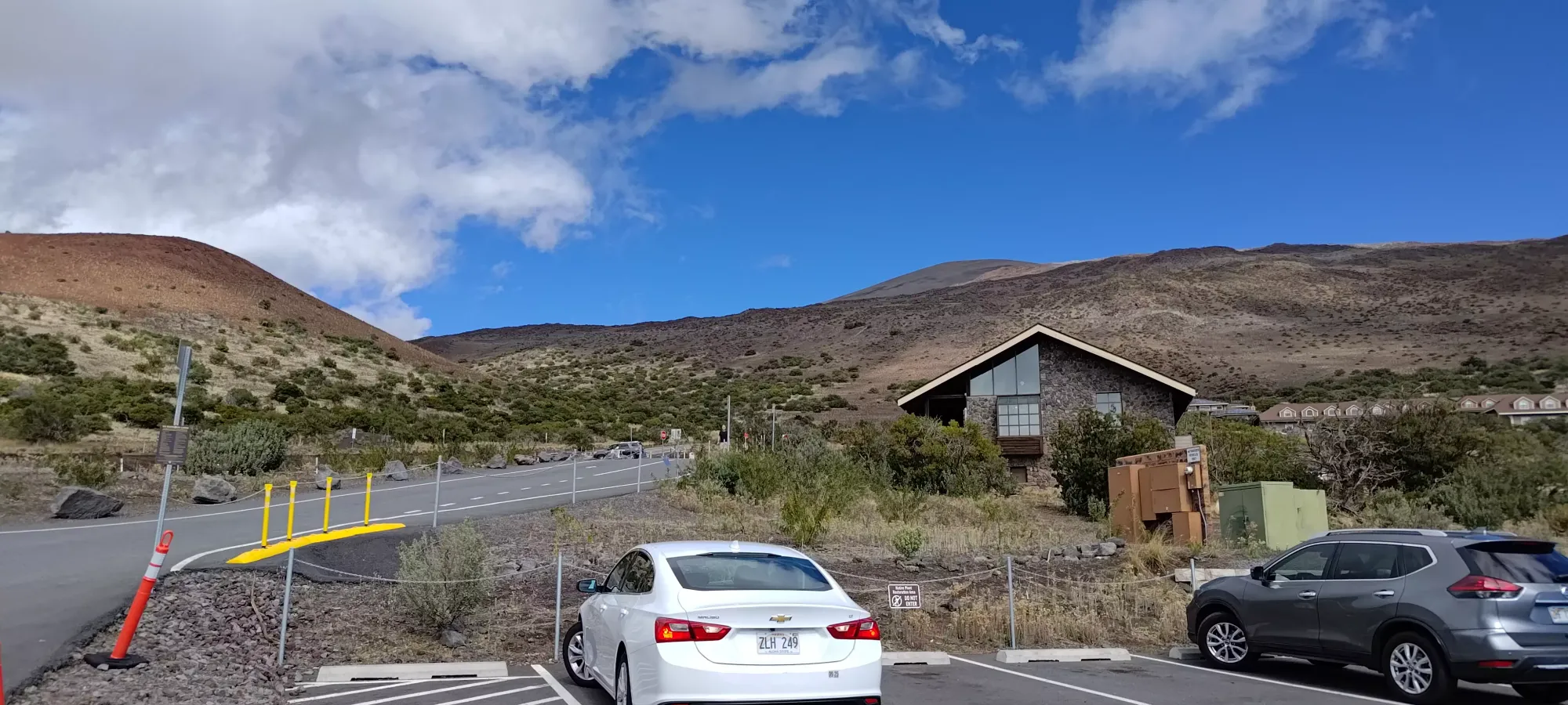
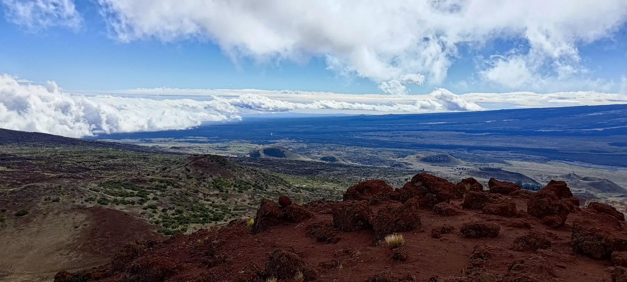
Hawaii is not my usual locale for peakbagging, but when my dad said he wanted to go on a trip, and suggested Hawaii, naturally I wasn't going to just ignore all the mountains nearby, so I started planning and shortlisting some options. The first/most important of which was Mauna Kea. Since that's a driveable summit, it was one I wanted to save to do together, but when we first tried doing so, the road closed on our drive towards the Visitor's Centre, and we were forced to abandon that plan. I saw some smaller volcanic cones nearby, and figured "let's check peakbagger and see if they're on there", and sure enough, there were 3 peaks in the immediate vicinity, and so a "consolation plan" was born.
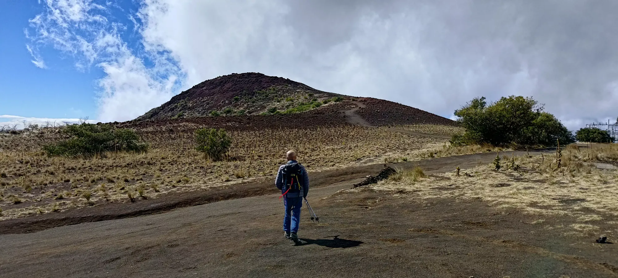
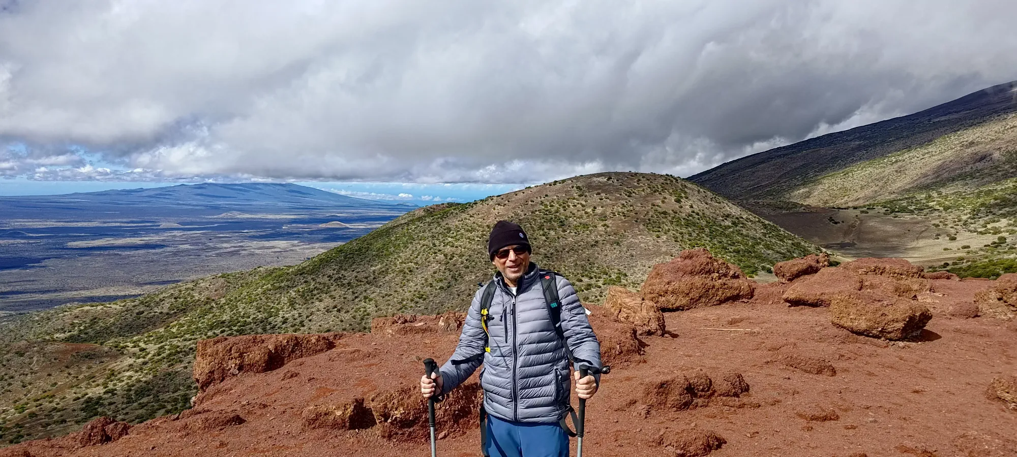
The winds were pretty rough, nearing 100km/h, but my dad was a trooper and decided to come brave the conditions with me, so we headed for the closest/easiest peak first, Kalepeamoa.

After crossing the road and hopping the safety rail, we started walking the main gravel road west until we hit the turnoff for Kalepeamoa, which we did in just a couple minutes. Despite it being a warm, sunny, Hawaiian day, we were both in our shells all zipped up, with my hood flapping very aggressively. The beaches might be shorts weather, but up here near 3000m the howling winds made things quite cold.
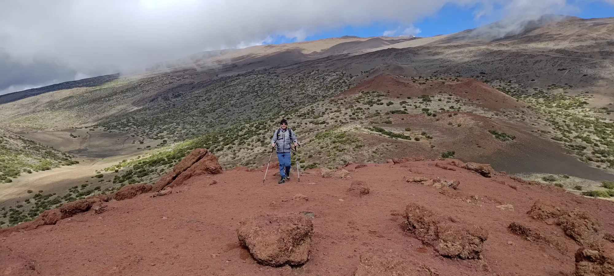
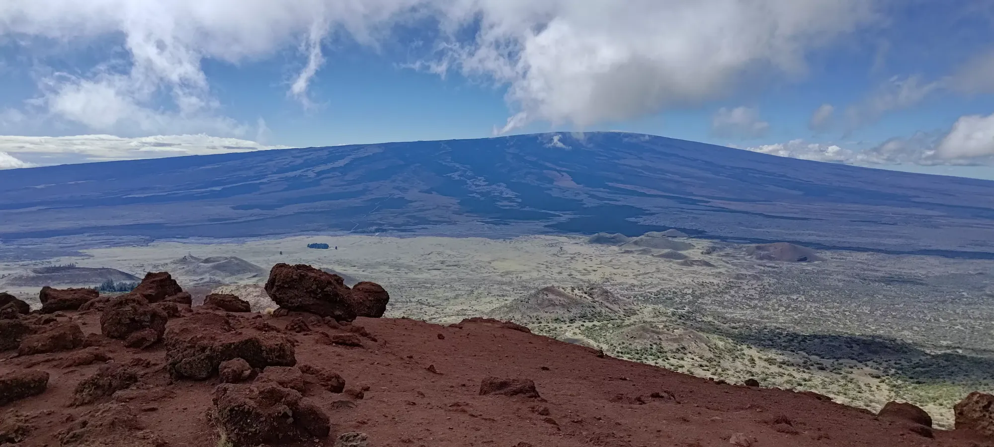
After that short bit of easy walking, the rest of the ascent was a slightly harder walk up a rough-looking former road, which if you can get there might be driveable in a proper 4x4, but you may as well just walk it. We went slow as my dad was (understandably) not used to the technique required to brace yourself and avoid getting knocked over/pushed around by the wind, but even still, we ended up topping out the summit in just over 10 minutes. This is an easy enough hike to not bother with gear on, and bring family of all shapes and sizes to. We took a few photos, being careful to hold onto the phones quite firmly, and went down shortly thereafter, finding lingering hard-to-justify in the blustery conditions.


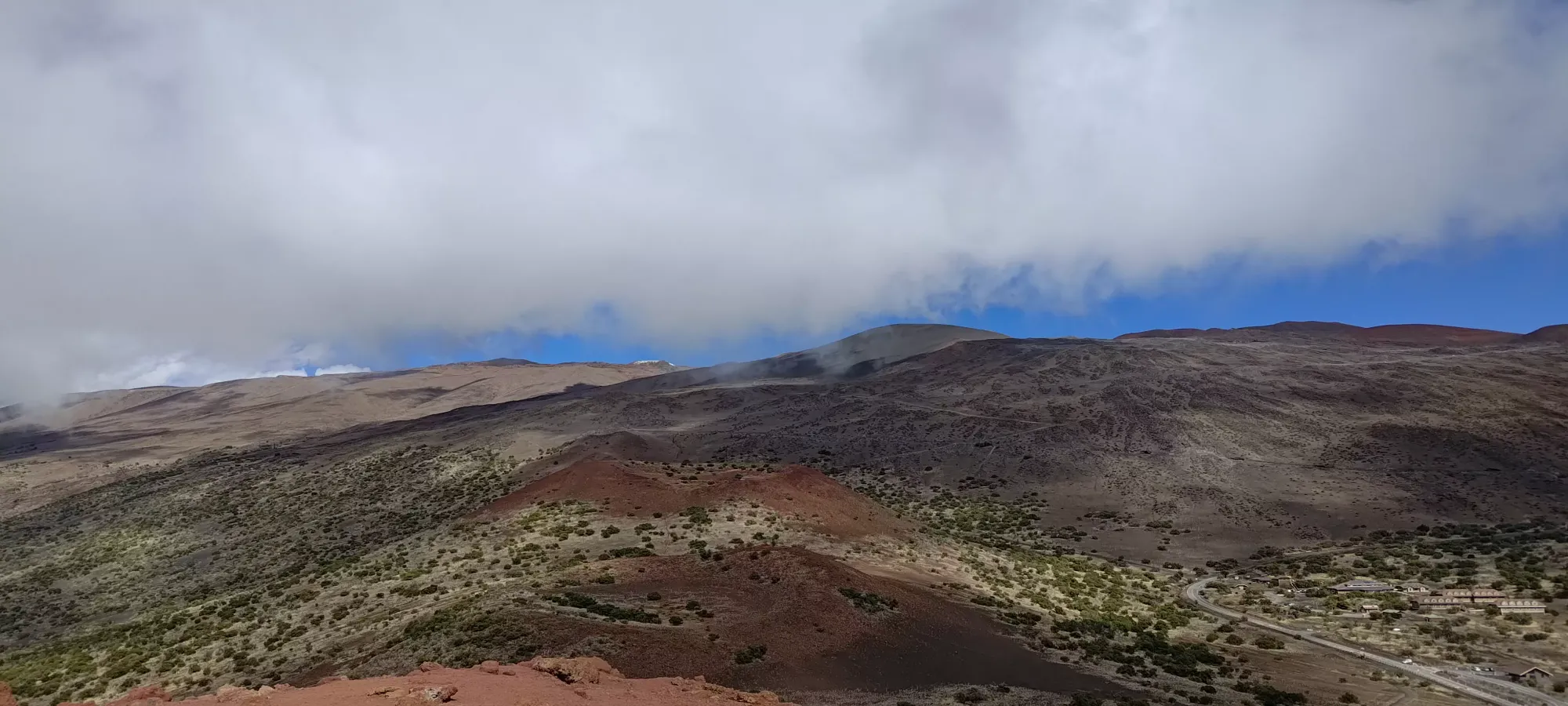
The walk down was an uneventful few minutes, after which my dad announced that his idea of vacation wasn't being pelted by winds strong enough to move you if you're not bracing for it. Personally I have no idea what he's talking about, that sounds great to me 🙃. So, he went off to explore the visitor's centre a bit more, and we split off so I could continue my consolation trashbagging on the next-closest cinder cone that people had arbitrarily decided to submit to Peakbagger's database, Kilohana.
GPX Track + Map
