Pu'u Haiwahine - January 11 2024
One of a group of 3 "consolation peaks" near the Mauna Kea Visitor's Centre you can bag if the road up is closed

Big Island, Hawaii, USA
2876m
This trip report picks up from that of Kilohana, which was the 2nd peak I bagged in a trashbagging circuit near the Mauna Kea Visitor's Centre after being denied access to the road up there due to high winds.
The first few minutes of the descent off of Kilohana were just scree-skiing or "just walking" down the rocky slopes towards Haiwahine. I decided to just go in a direct line towards Haiwahine instead of trying to find any sort of trail, since the terrain seemed pretty simple. This worked well, until I got to the lower half of the descent, where the terrain changed to tall grasses and sparse bushes, getting slightly denser near the bottom.

As I got closer to the bushy section, I curved to skier's left to avoid some denser bushes and to get closer to the high point of the col between Kilohana and Haiwahine for the sake of efficiency. After a bit over 10 minutes, I found myself on the dirt road separating the two, and walked up to the east side of the mountain before starting my way up.
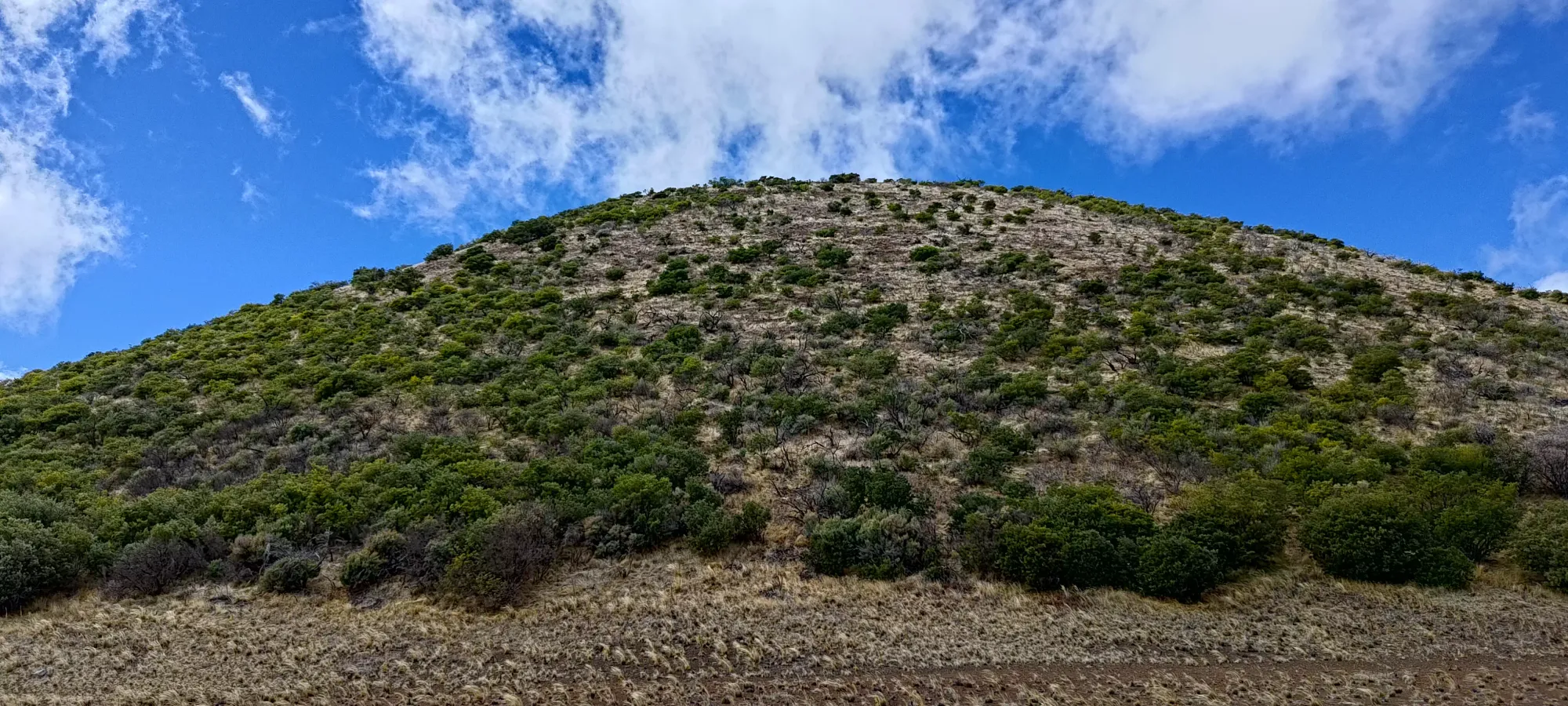
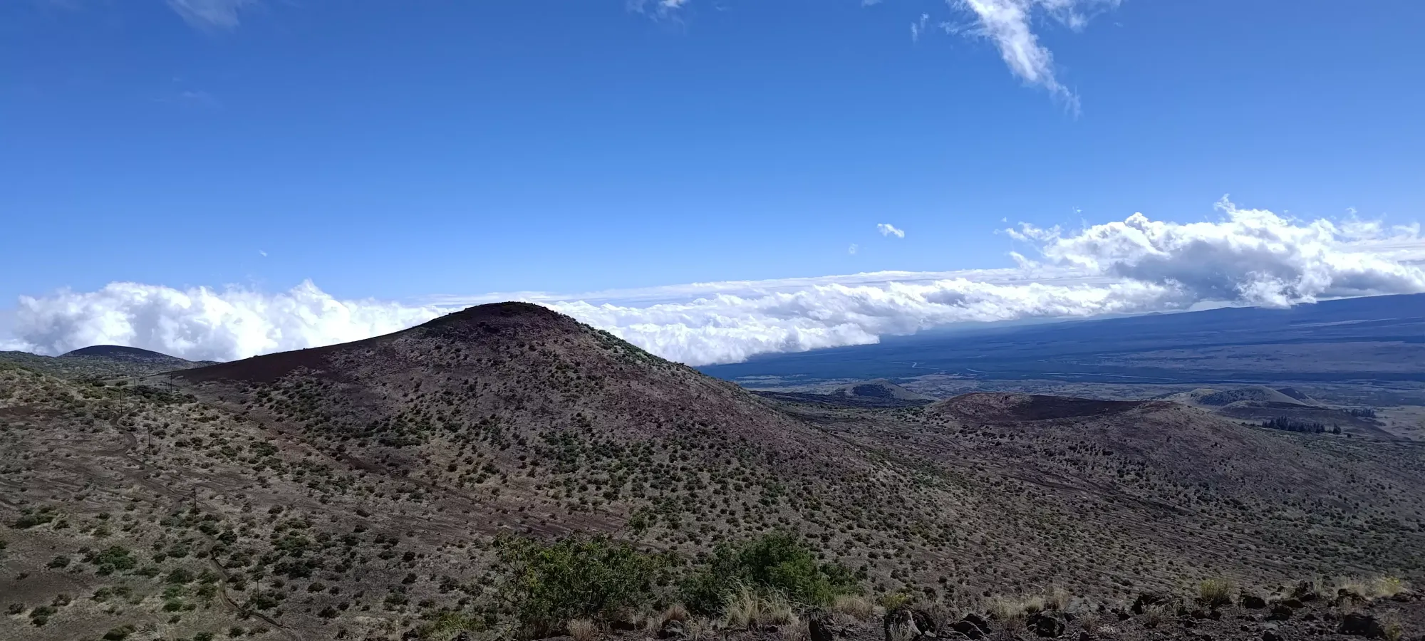
The ascent itself was fairly straightforward. The bottom half is fairly bushy, but there's enough spacing to weave your way through without needing to bushwhack, the most I had to do was duck under one overhanging branch, but otherwise I was "just walking". As you get higher, the bushes get less dense, and there's more loose dirt instead, with a greater amount of options for you to make your way up at your ideal slope angle. It took me about 10 minutes, where I was greeted again with some nice views of the open plains, blustery winds, and a desire to get back to the car sooner rather than later, so I didn't linger.
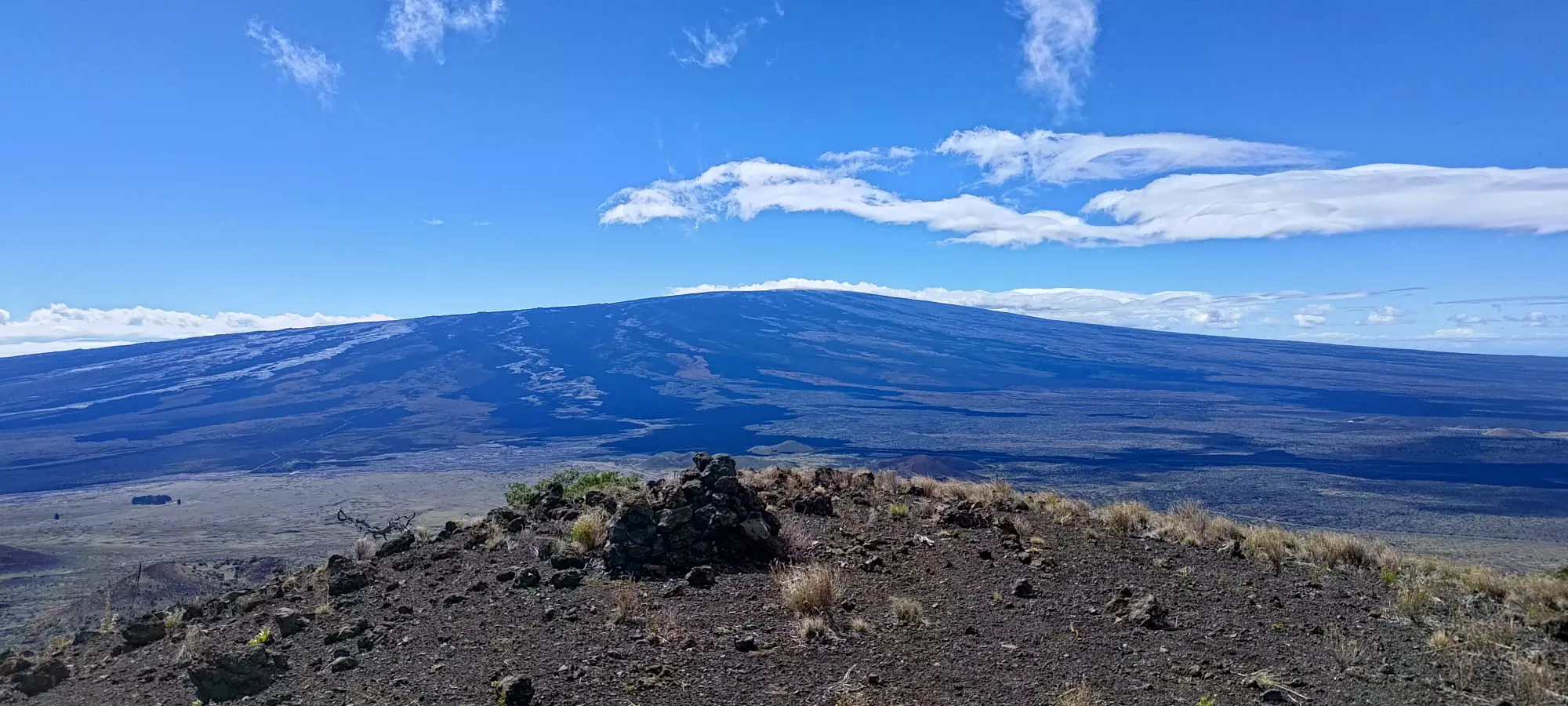
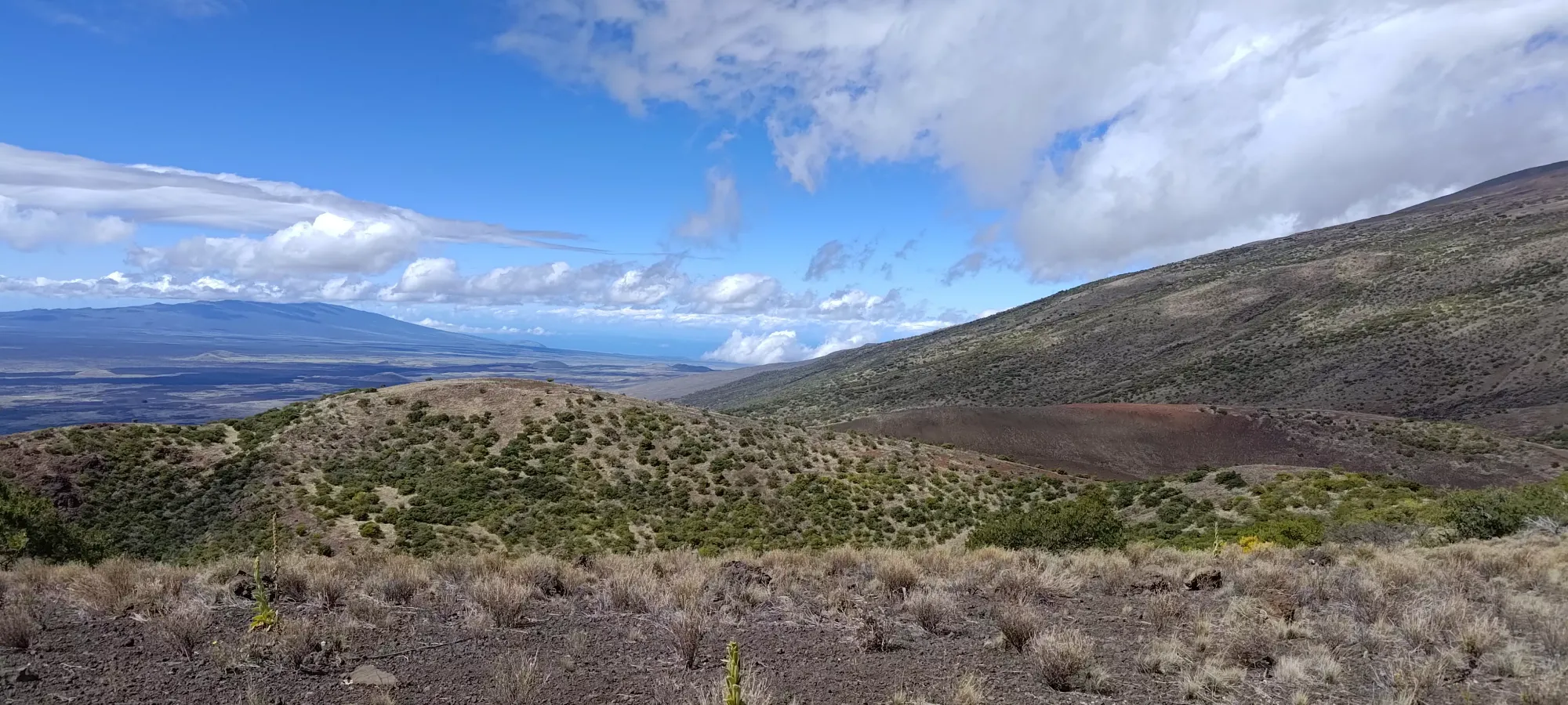
Summit views, Mauna Loa in particular stood out. It's a lot blacker than the older Mauna Kea, and is sooooo broad

Coming down from the summit was pretty simple, I didn't follow my uptrack exactly, instead favouring a more direct approach. The dirt was soft enough to allow a semi plunge-step approach, so things went pretty quickly. I managed to avoid getting into anything really bushy by aiming a bit more to skier's right on the section before the road.
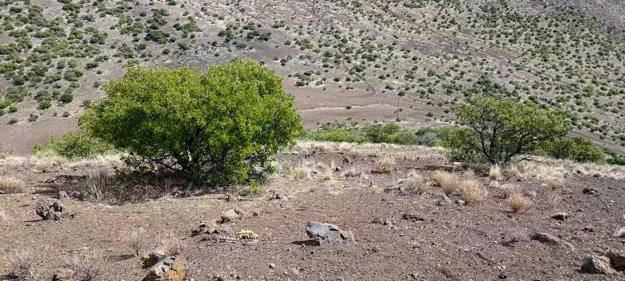
Once I got to the road, I did a little shortcut to get around the corner, then started gaining elevation to get back over the ridge towards the road, following a rough 4x4 trail that led to a power station. This road looked pretty fun, I'm not sure how you can get a vehicle there, but it'd be fun driving if you could.

There was about 70m of elevation to gain on the road, then just a simple walk back down to the Access Road and to the car. My dad decided to brave the winds once more to come out and meet me for the final walk back, so we headed back to the car together from the bottom of the gravel road. We tried to ask if the road was going to open again, but no dice, and as of a good few days later, it still hadn't opened. I guess if you're coming in winter, be prepared for some windy conditions. While even these consolation peaks were easy enough, the wind did make them "solidly in the territory of uncomfortable", as it was violent enough to move your body if you didn't brace properly. For me, though, the effort was well worth it for 3 peaks, and hopefully getting my body a little more used to elevation for any future peakbagging attempts on the trip.
GPX Track + Map
