Farrer Peak - January 31 2024
A short but sweet hike; the high point of the Diez Vistas trail in Belcarra/Buntzen Lake. Best views along the way, not at the summit.

Coquitlam Ranges, Belcarra, British Columbia
564m
This peak was part of a set of morning peaks I did on this rainy Wednesday before work, after Sasamat Hill. I parked myself at the closest, non-closed parking lot and started hiking up at 9:06am, a bit later than I'd hoped. After walking up the road for a couple minutes, I forked off onto the Buntzen Ridge trail, planning to link up with a road I saw on my maps that led to the col between Sugar Mountain and Farrer Peak, both of which I planned to bag. Farrer came first, though, since it has more prominence and is therefore "more important" 😀.
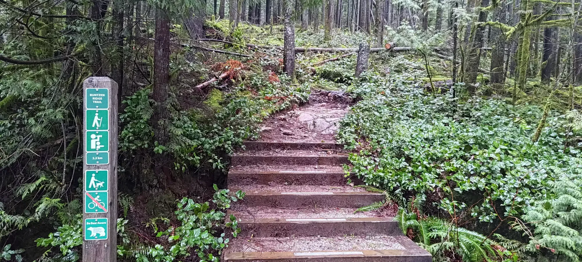
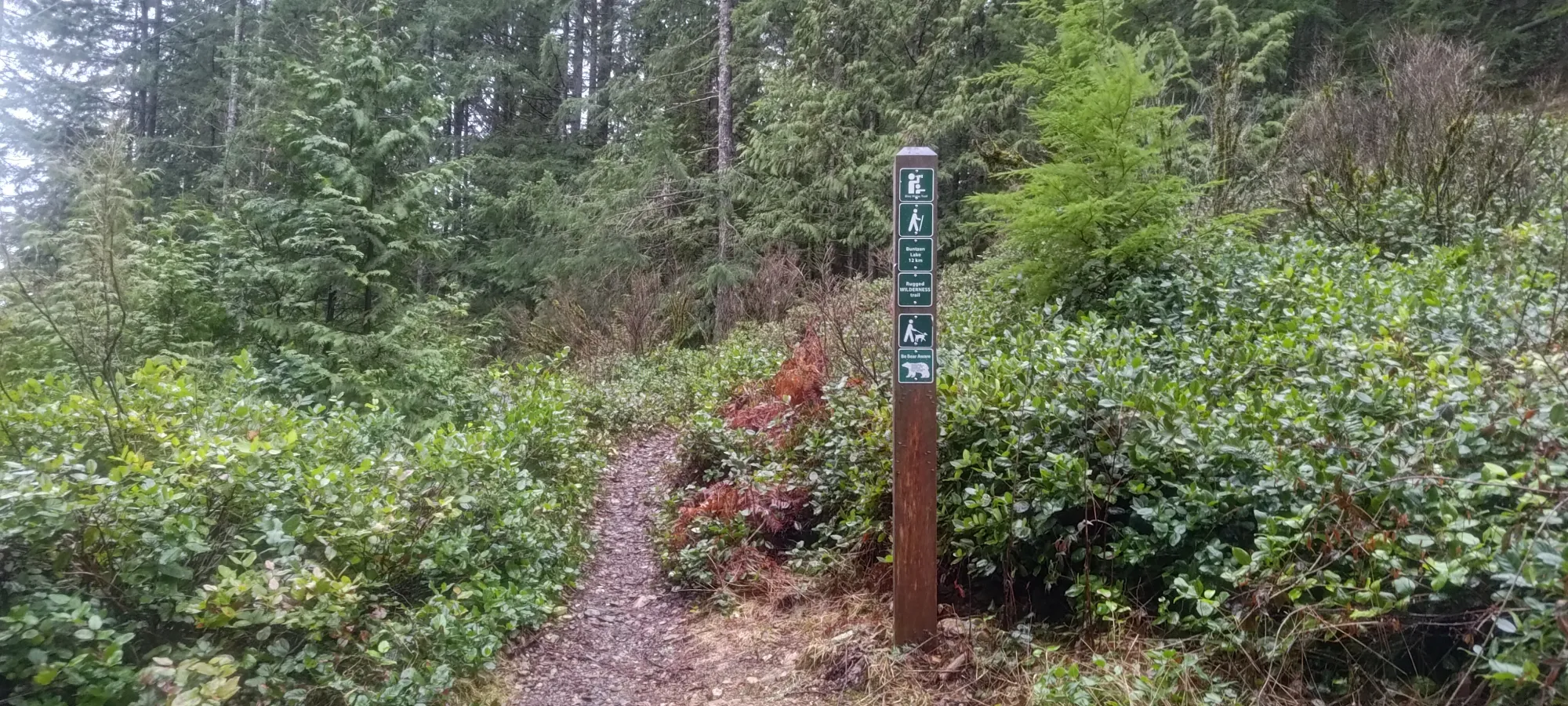
Other than one recent-looking deadfall, the trail was in good shape, and emptied me out at about 120m elevation onto the road, 6 short minutes from the parking area.
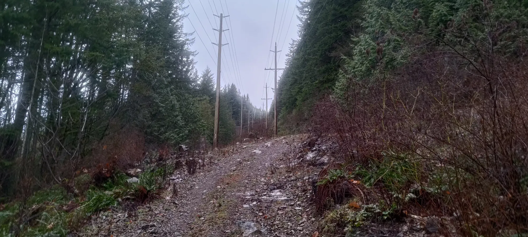
Now because these peaks were all in a fairly populated area and low elevation, I did very little research or even "bothering to look at my maps closely" beforehand. If I did, I might've realised that the road gains about 200m in just over 1.5km, which is actually somewhat steep and tiring. This wasn't explicitly a problem, just a bit of a surprise. It took a touch over 20 minutes for me to get through this section, with my heart rate a healthy average of about 190 during this period 😅. As for the condition of the road, it's gated, so no driving, though it'd probably be AWD medium clearance. The steep sections, especially where also loose might make biking difficult, but if you push the bike up, riding down would be nice, and certainly faster than walking. Consider this if you bother planning for this peak.
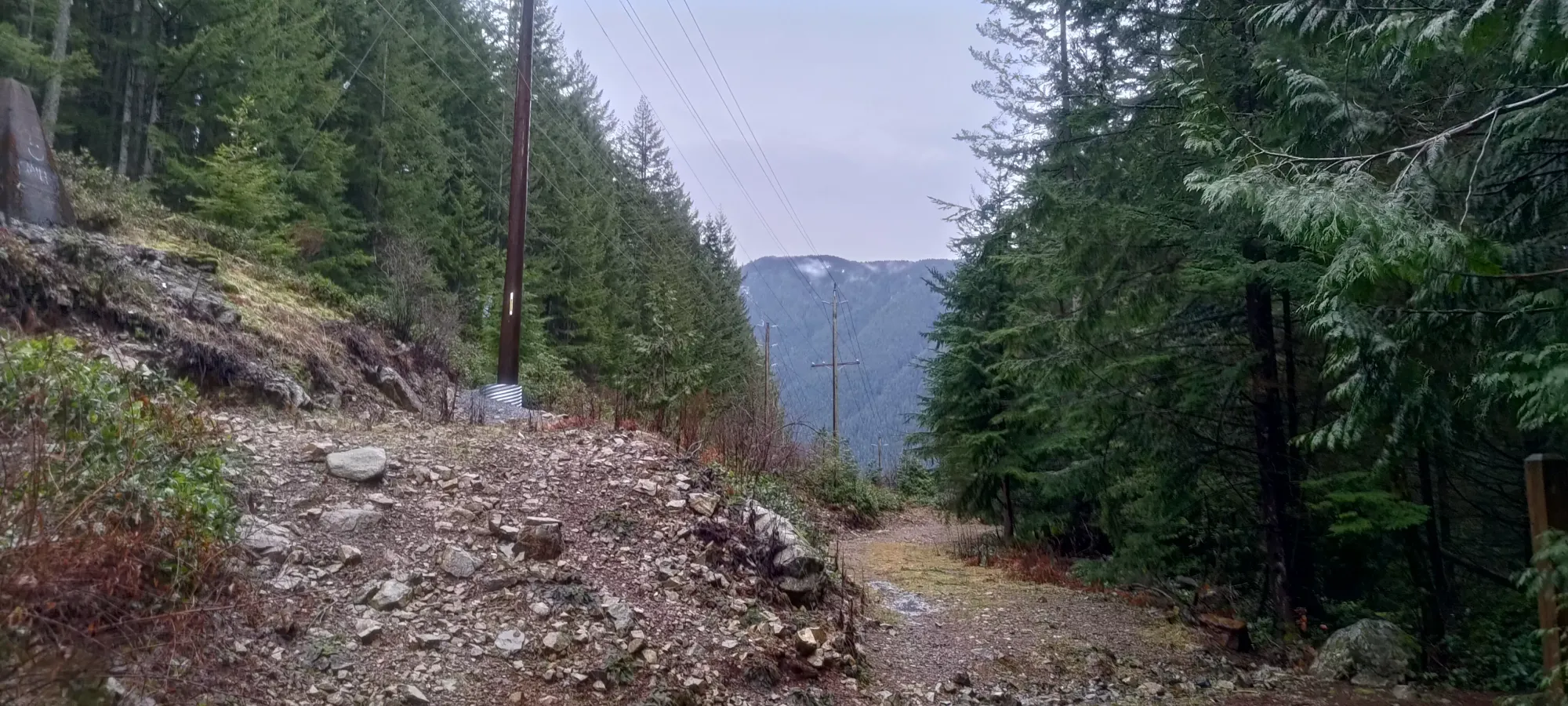
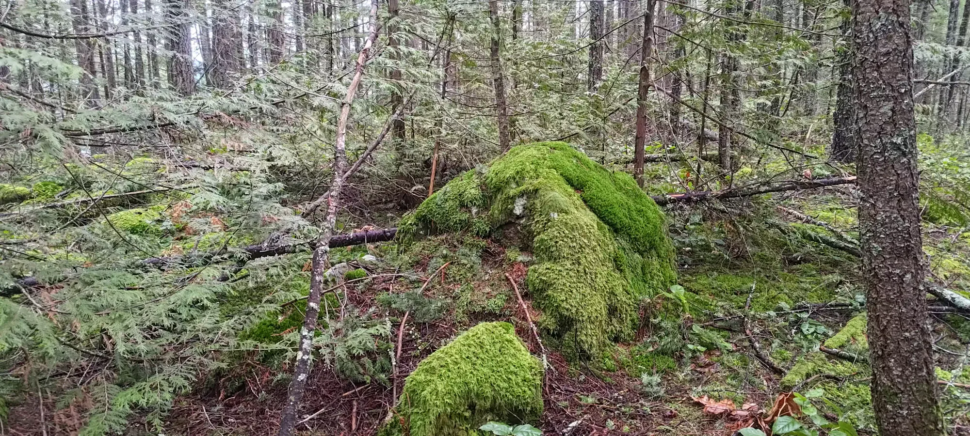
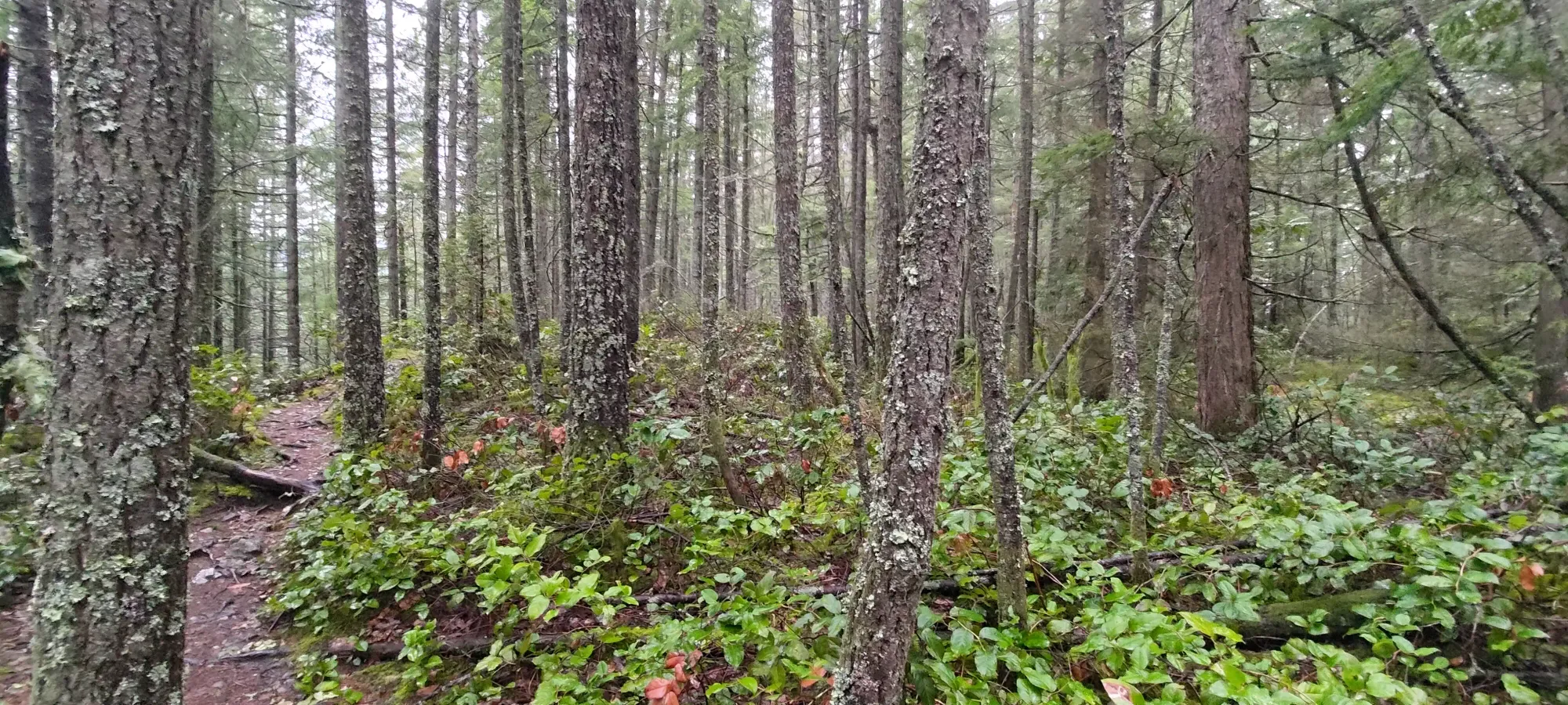
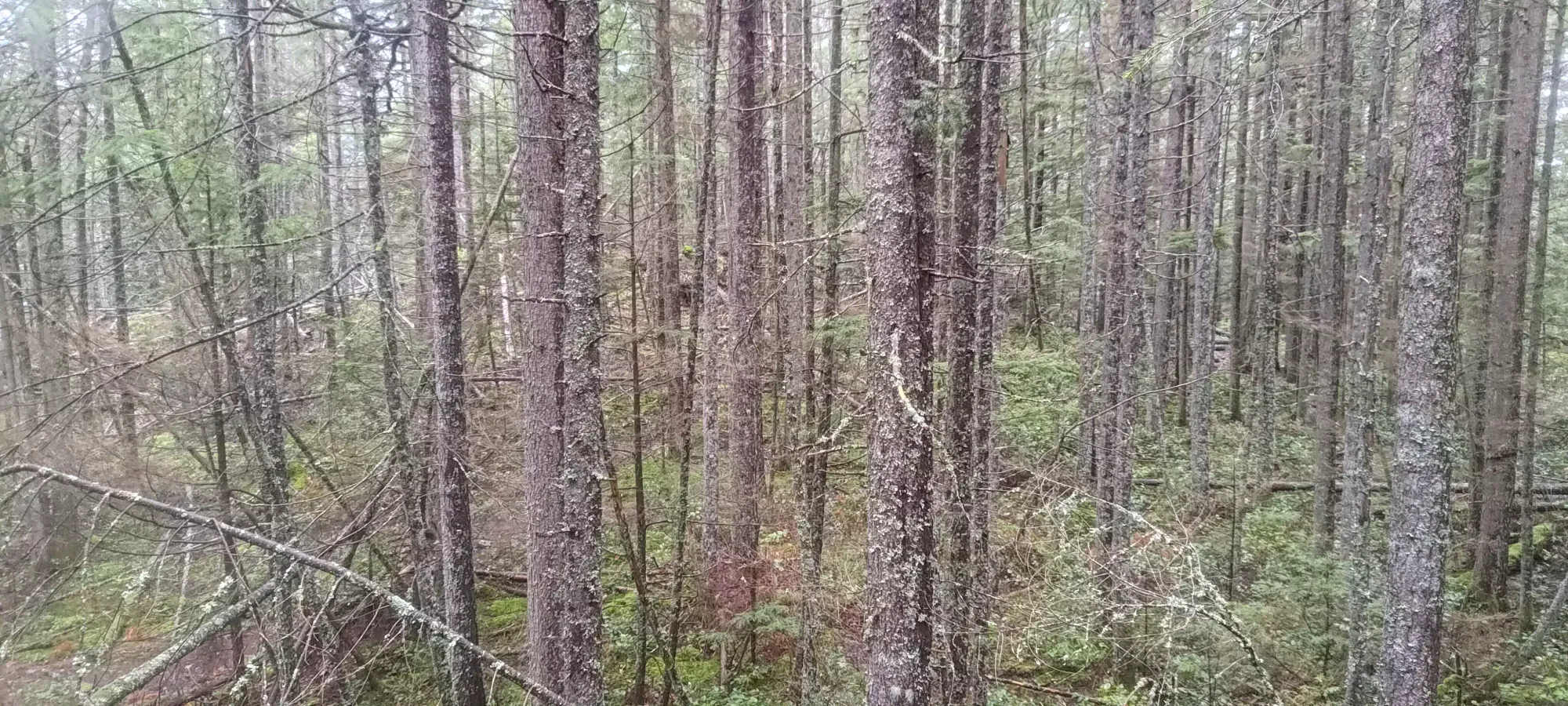
I was quite happy to get onto the "real trail", as the terrain was actually much nicer, being a typical, well-used forest trail, which made for more pleasant travel than the loose rocks and steep hills of the forest road. It starts off heading northwest for about 400m, then just switches back consistently up to 500m elevation, where the trail forks between a couple different viewpoints, which I decided to do as a loop to see the views on both sides. I continued my grind up from the road to the 500m fork, maintaining my heart rate to see if I could turn this small peak into a more meaningful workout, getting up in about 14 minutes, gaining 170m in the process.
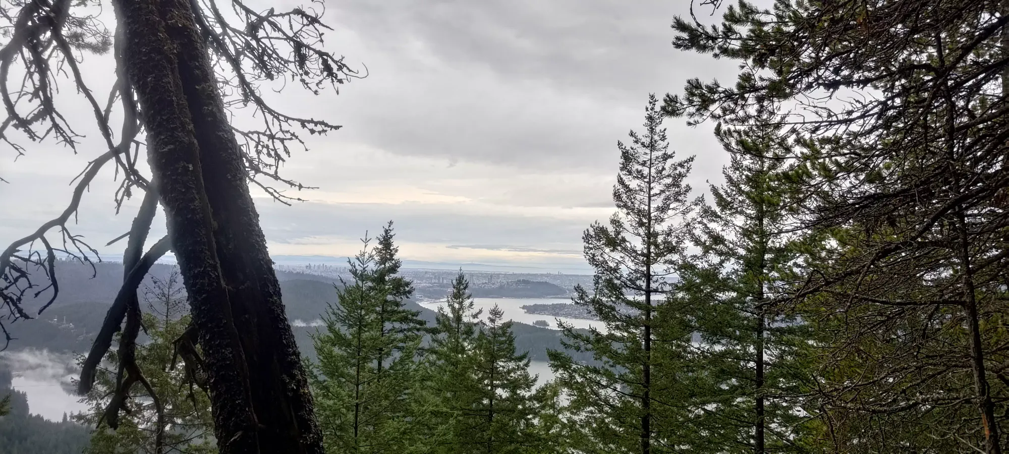
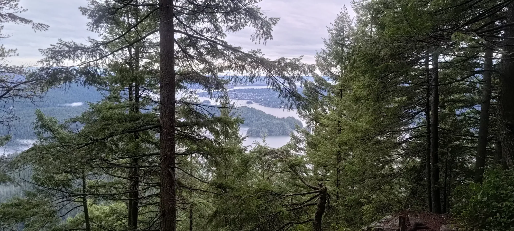
From there, I forked to the right, taking the East Point Loop to see some views of the city and the Dilly-Dally ridge on the other side of Buntzen Lake. This loop took me about 8 minutes to do with some photo breaks, so it's a minimal detour, and I'd recommend it if you're bothering to go up to this peak anyways.
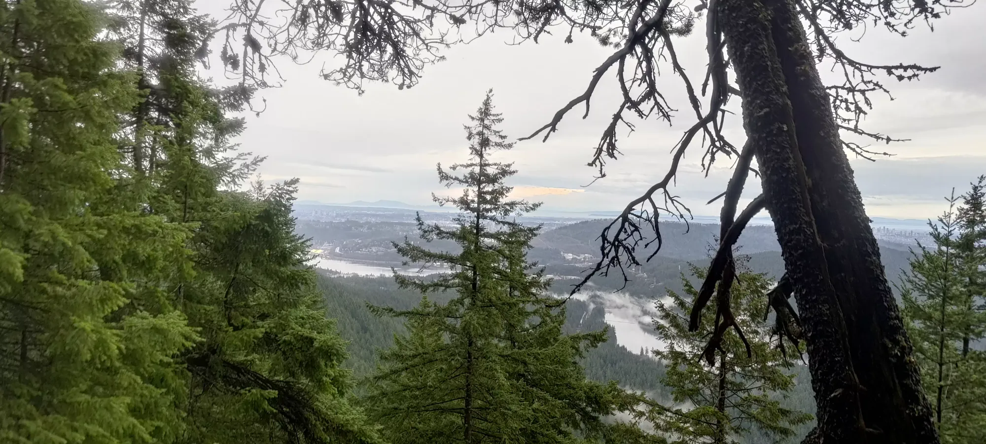

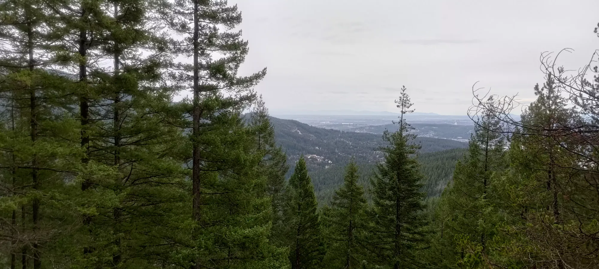
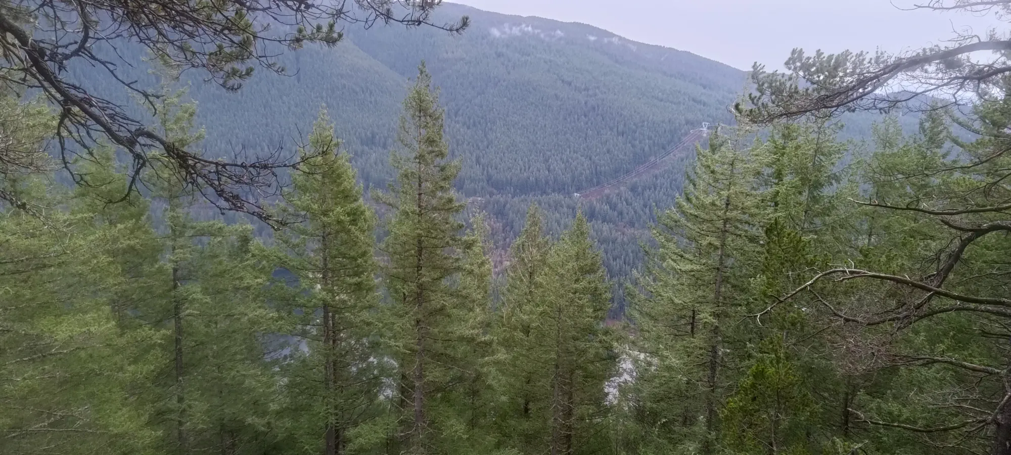
East Point views of the city and across towards Eagle Mountain
After taking the loop through to the north end where it narrows back to one trail, it was a very short walk to the peak. The first stop was a small rock that lined up with the waypoint on Peakbagger. Once I stood there, though, a bump north looked possibly higher, so I walked over there as well.
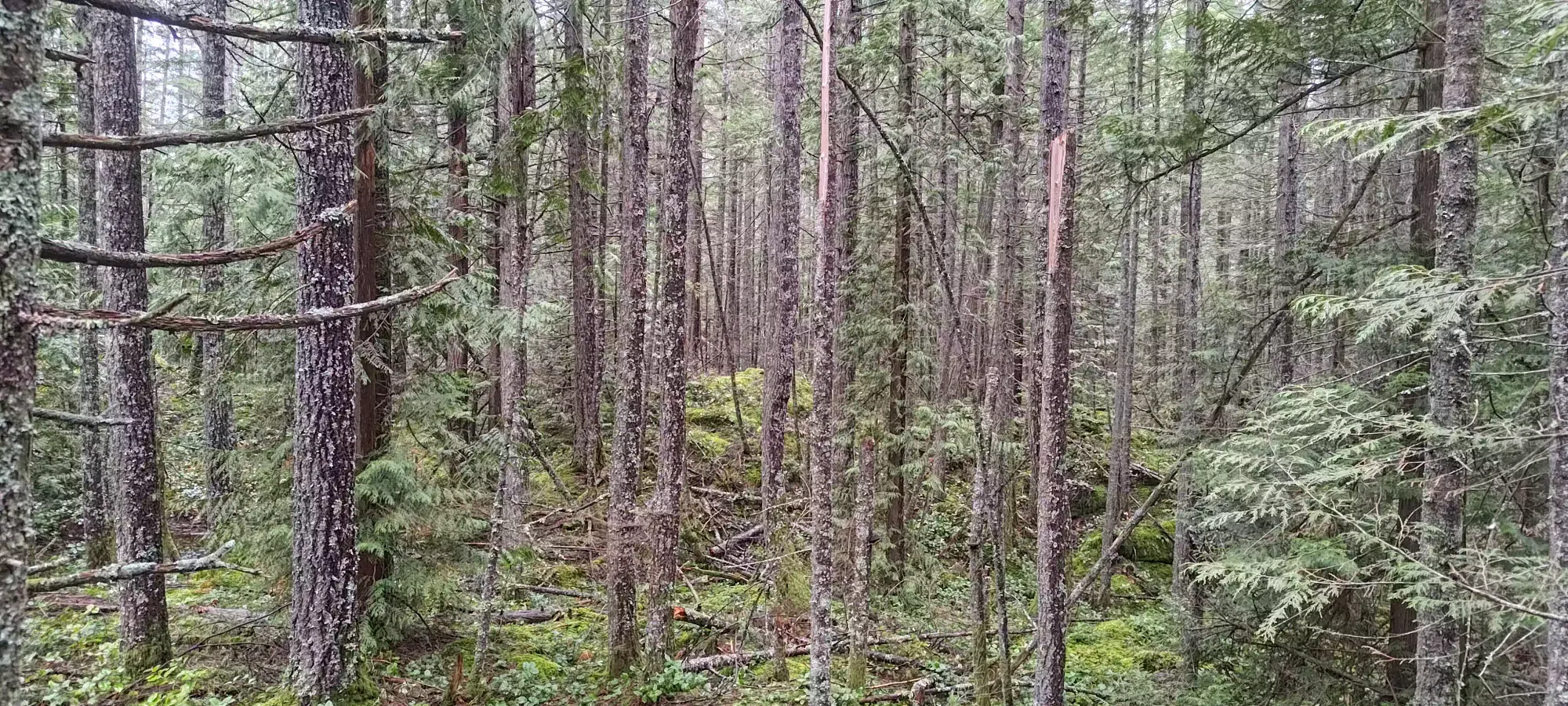
Once I got there, of course, I saw one more point that might've been higher still, so I spent a couple more minutes walking over to it. I think this last spot was higher, though, so I'd recommend going directly to it. It can be accessed just off of the main trail too, so no need to take my route unless you want to tag these "almost definitely lower" points for safety.
Once I finally got to this last summit candidate, it was basically exactly an hour into the day. The descent was pretty trivial, with one stop along the way to take a photo at a viewpoint before the 500m fork. I returned to the road in 17 minutes, where I started towards my next objective: Sugar Mountain.
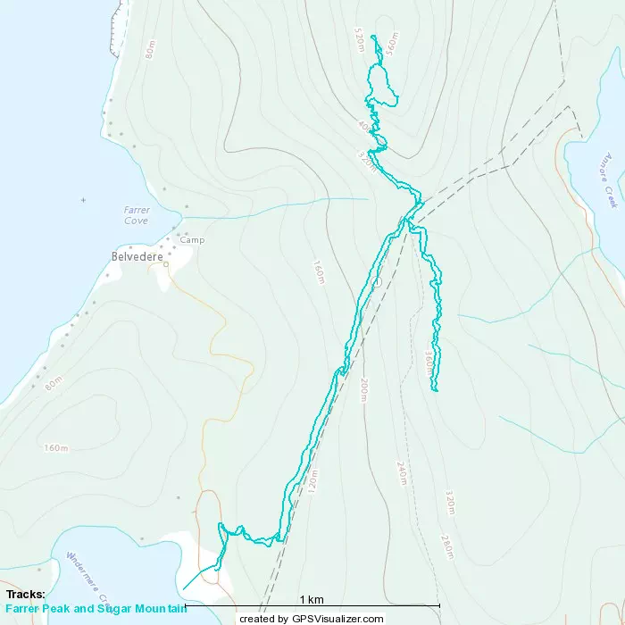
GPX Track + Map