Sasamat Hill - January 31 2024
A small "technically a p100" peak above Sasamat Lake in Belcarra. A forested bump without views, for dedicated peakbaggers only

Coquitlam Ranges, Belcarra, British Columbia
205m
With the Pineapple Express train still going strong near home, with very warm temps and buckets of rain, I figured my usual "Wednesday morning ski" routine was probably not worth the effort, so I instead looked around for some trashbagging to do before work. I settled on the set of peaks near Belcarra, since there's a few p100s there with minimal elevation, so I could avoid any terribly wet snow, and hopefully get a good few peaks for my dollar in the few hours I had.
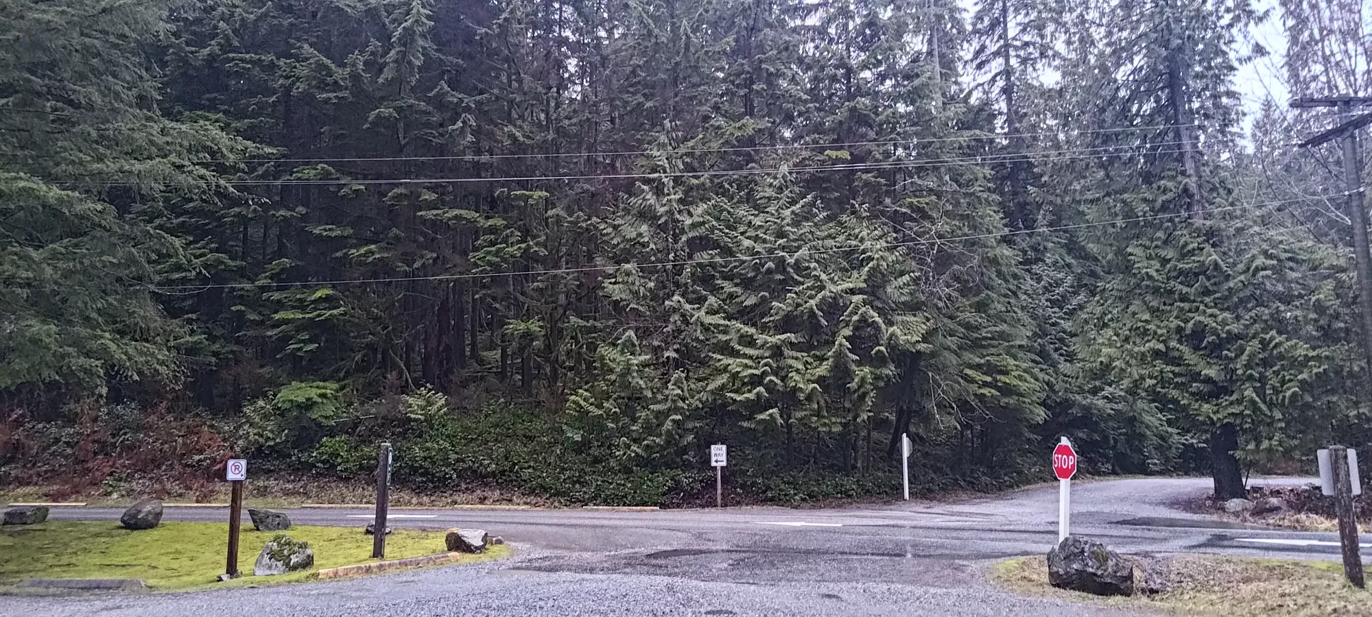
Sadly, with the weekend full of driving I had previously, I was still pretty tired, so I didn't get out of town til past 6:30am. After circling around the parking area once or twice (there are far too many randomly closed parking lots), I got moving for the first peak of the morning, Sasamat Hill, at 8:05am.
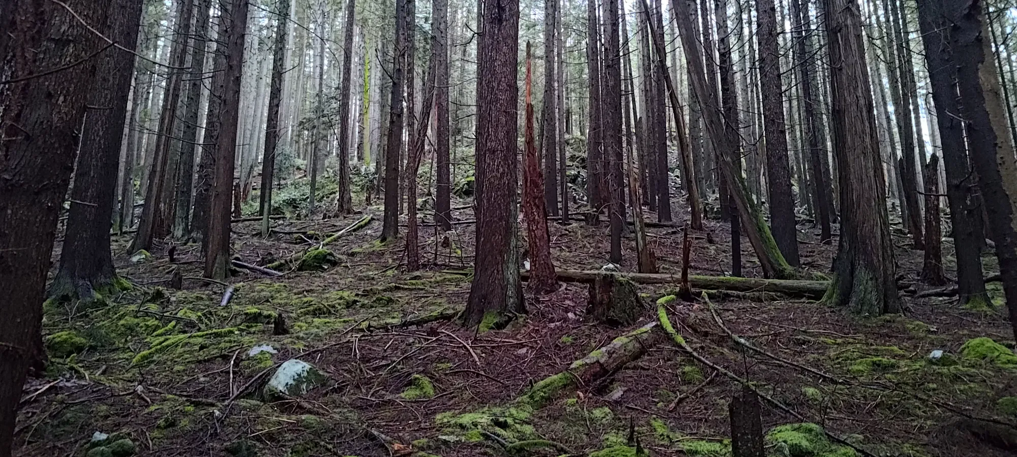
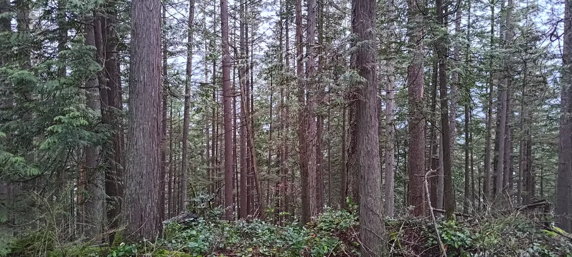
From the parking, I crossed the road and started moving along the bike trail that goes around the north side of the lake. The beta I had was that this was a trail-less bushwhack, though, so I quickly diverted to an open-looking section of the forest on the SE side of the peak. I wandered up fairly open forest for a few minutes, did a couple steps of scrambling up a small bluff, then found myself walking up slightly bushier (but still fairly easy) flatter slopes for another few minutes until I found a trail at about 120m elevation, which was going east-west, largely without any elevation gain. Since the peak was to the west still, though, I followed it in hopes of it turning uphill.
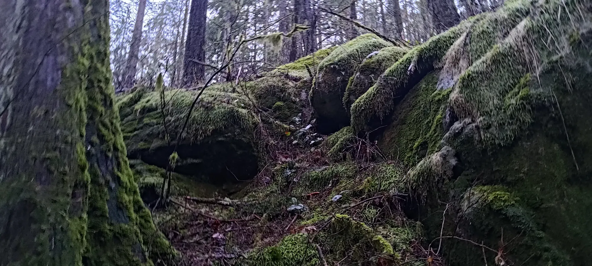
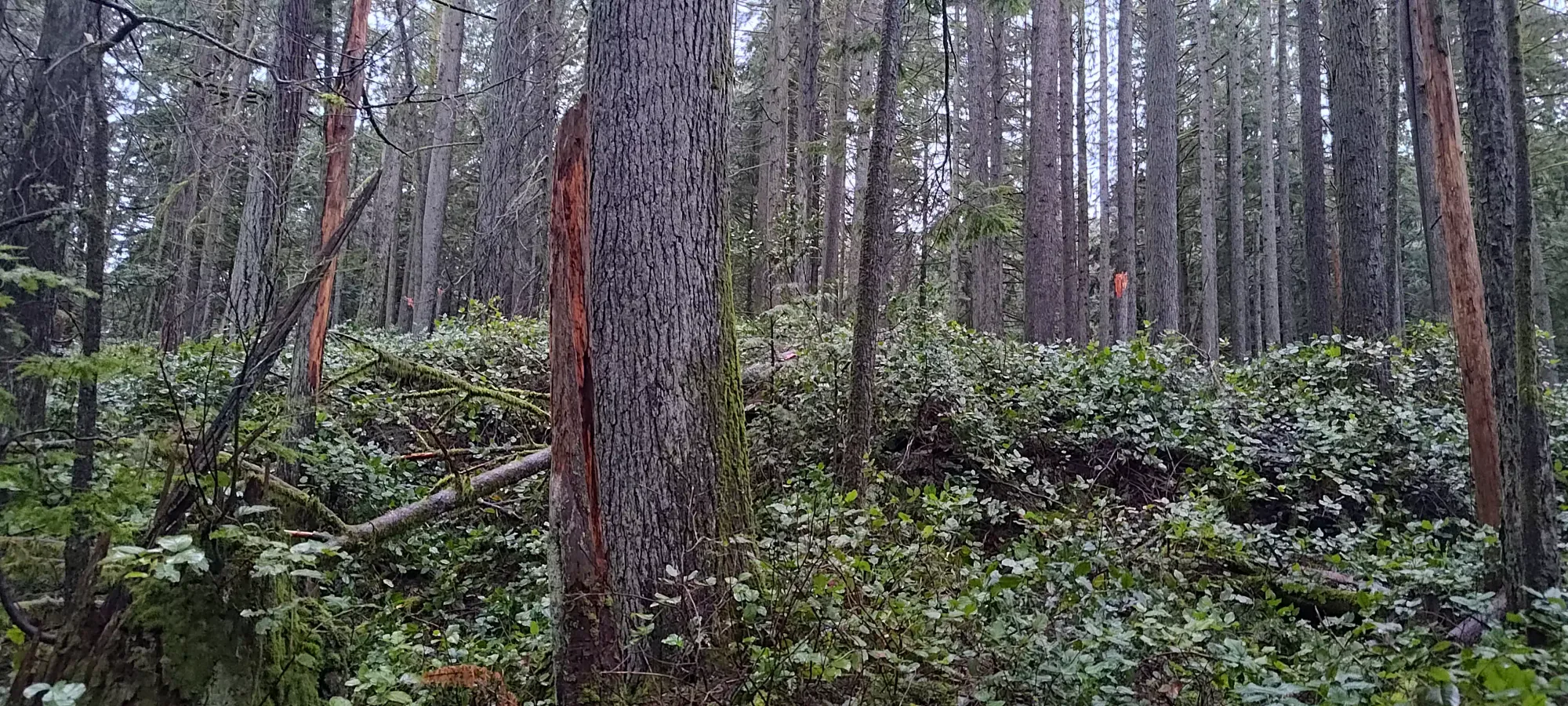
After traversing until I was straight south of the peak, I cut up directly again, as I found some fairly open slopes in which to do so. The rain had soaked the ground well, but I managed to avoid sinking into the dirt just barely, so travel was still fairly efficient. This part was a bit steeper, and got my heart working a little harder than the previous sections.

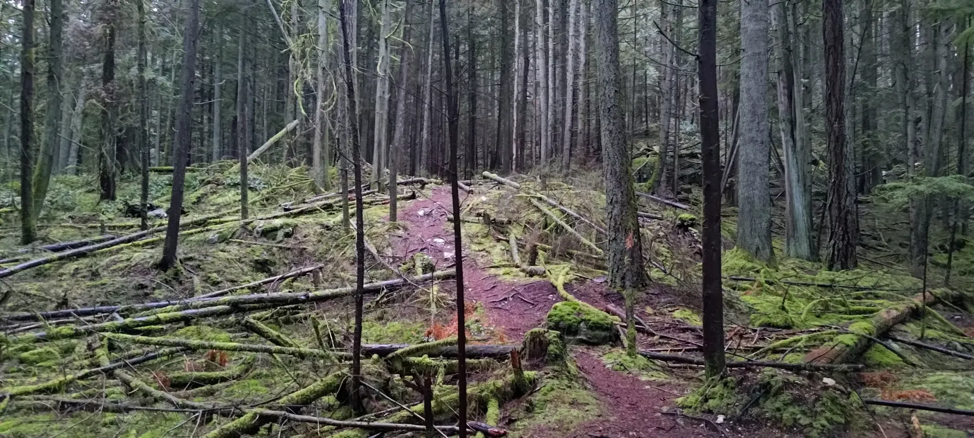
This little hill topped out and required a few minutes of bushwhacking again, but that resulted in me finding another trail at about 180m which took me the final stretch to the summit. I snapped a couple pictures, then started making my way down. I decided to try and follow this trail down, figuring if it went up, it probably also went down.
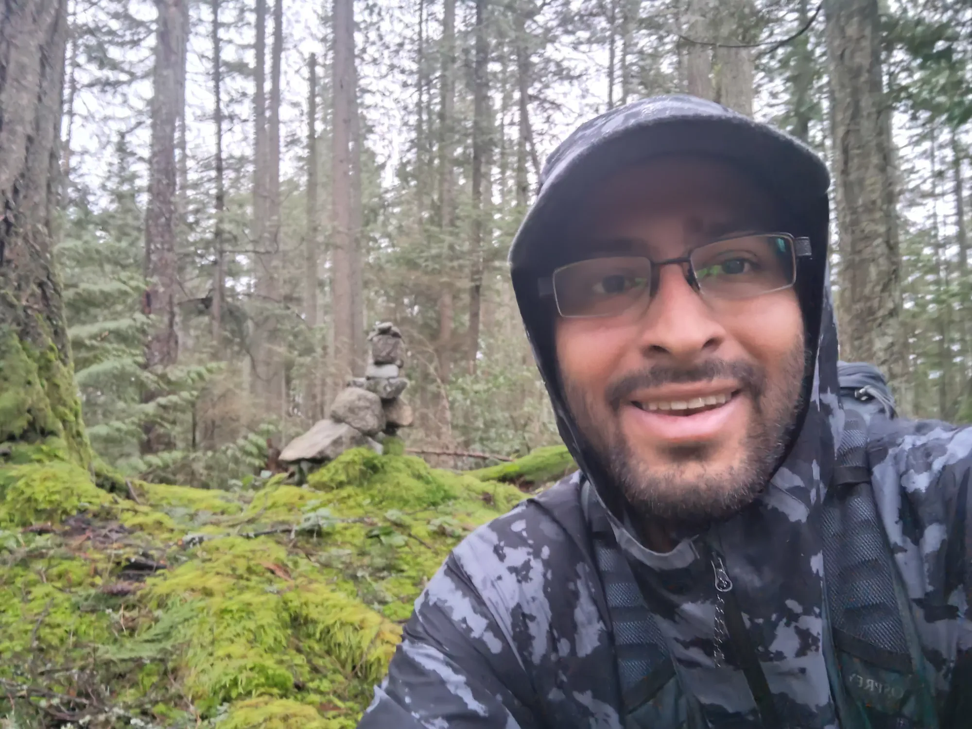
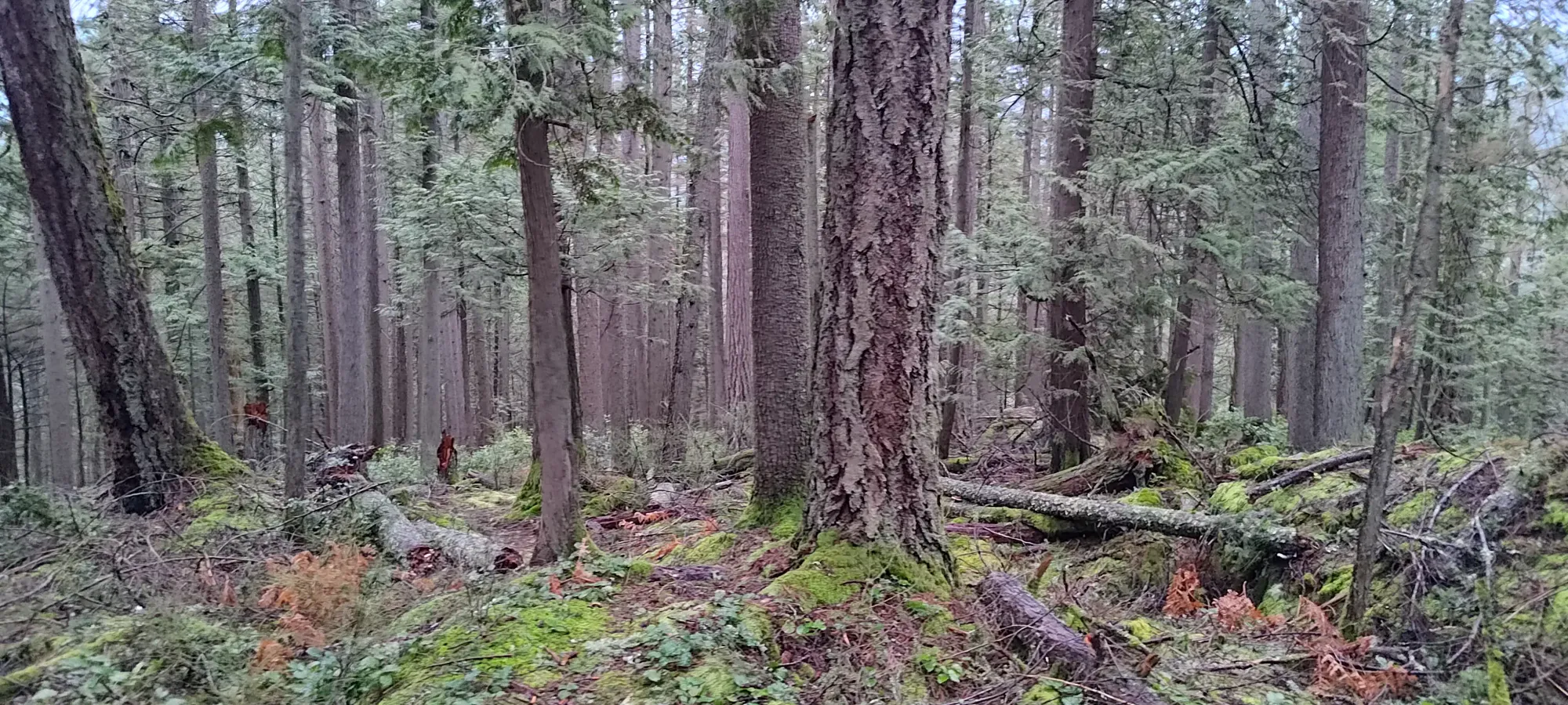
Only the best views here
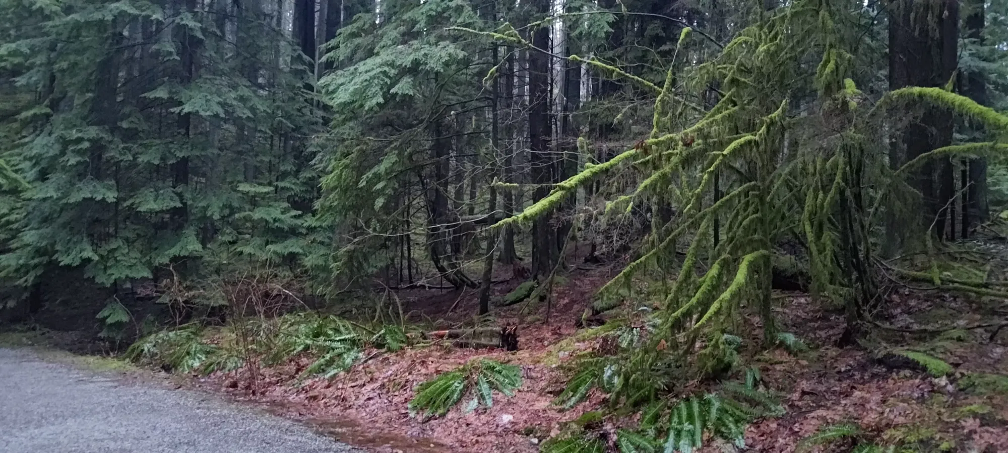
Getting up took just over 20 minutes, so I was hoping for a very expedient descent with my new-found trail. Sadly, that didn't quite work out, as the trail started curving further and further north once I got below 120m. I kept hoping it would kick out to the road east of the mountain, and followed it until I was nearly a kilometre of road away from the car, at which point I said "screw it" and just started bushwhacking east to the road, as I suspect this trail actually starts in Farrer Cove, whose road is closed to private vehicle traffic (if you can get there, though, it's probably the best way to do this peak, since the trail is easy going).
Sadly, the bushwhacking from this point was much worse than before, and it took about 10 minutes to move a couple hundred metres over to the road. There was a ton of spiky devil's club, the ground was mostly weak branches and water, and to top it off, on my final stream crossing before the road, my log branch crumbled (the recent rainfall really soaked everything good), and I got my right foot totally soaked 🙃.
At least once I got onto the road I could jog back to try and make up lost time, so I cleared the last kilometre in about 7 minutes, which also included about 25 of elevation gain on the surprisingly-not-flat road. I saw a couple "no trespassing" signs, but in my defence the random forest didn't warn me about private property, so I felt justified enough in my brief presence.
Once at the car, I wasted even more time driving in circles to find a better parking lot for my next objectives, only to end up a stone's throw from the parking for this peak 😅. Check out the report for Farrer Peak to see what I did next.
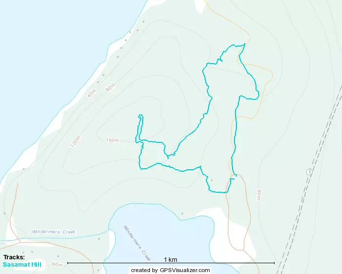
GPX Track + Map