Belcarra Mountain - March 26 2024
A short and sweet hike to a forested p100 in Belcarra, BC. A viewpoint can be found further down the trail, otherwise there are no views on the shortest path up

Coquitlam Ranges, Belcarra, British Columbia
286m+
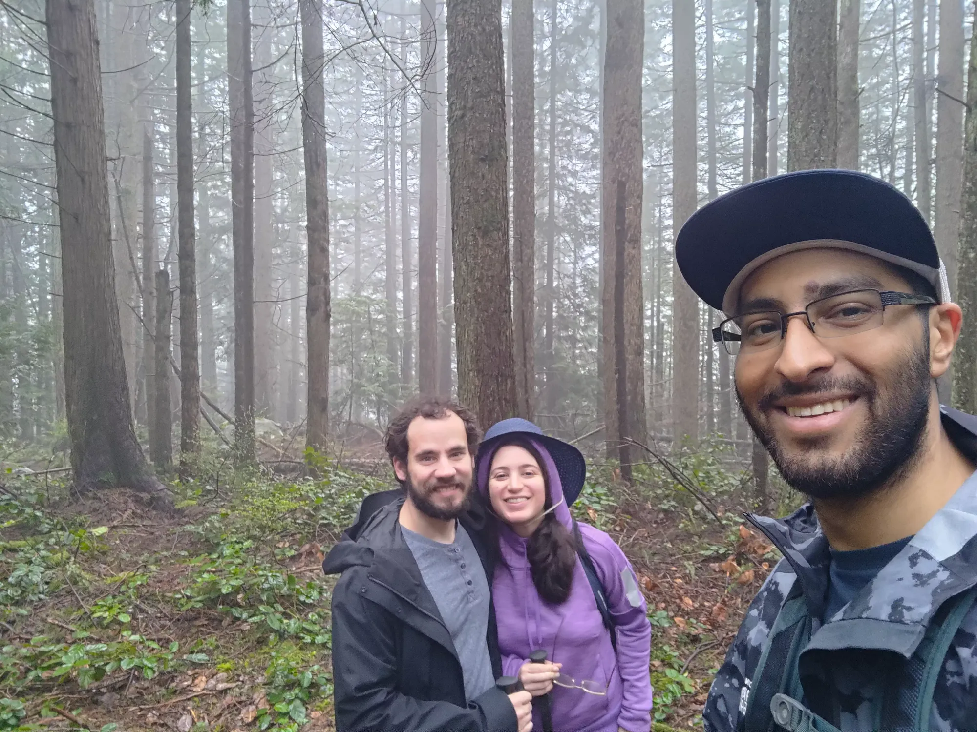
I had an appointment in the late morning this Tuesday in Coquitlam, so I figured I'd take advantage of needing to make the drive down to clean up another small peak in the area. Belcarra Mountain met the requirements of being fairly close, a p100, and being a simple hike on easy trails that I could knock out without being up TOO early and still make my appointment. Logan and Jessica were down to hang out, so we met up at the parking lot in Belcarra Park at around 8:30.
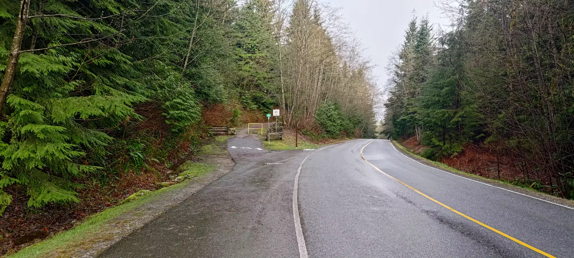
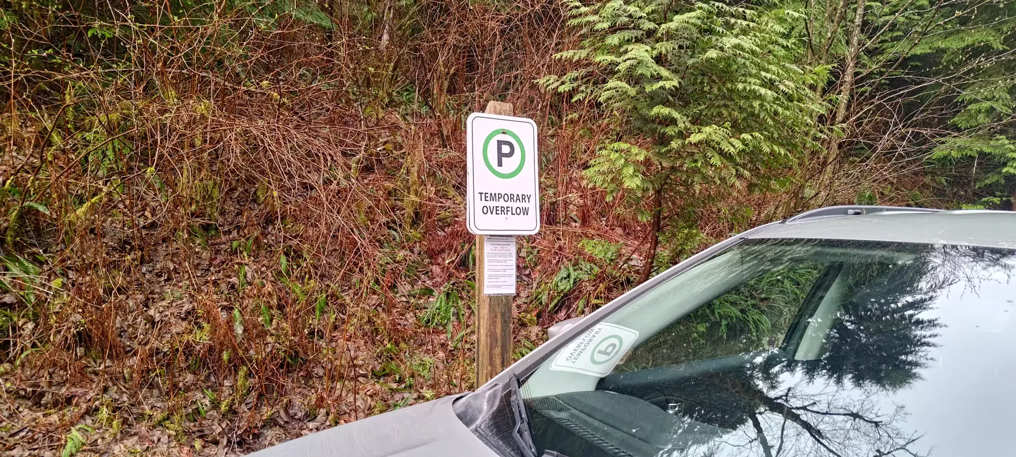
On the drive down to the main parking area by the water, though, I noticed that they had opened overflow parking at a few spots along the road, which would allow us to cut some distance and elevation off, so we actually drove back up partway, and were able to park beside the Springboard bike trail, which meant we could start at 90m elevation instead of 25, which was convenient.
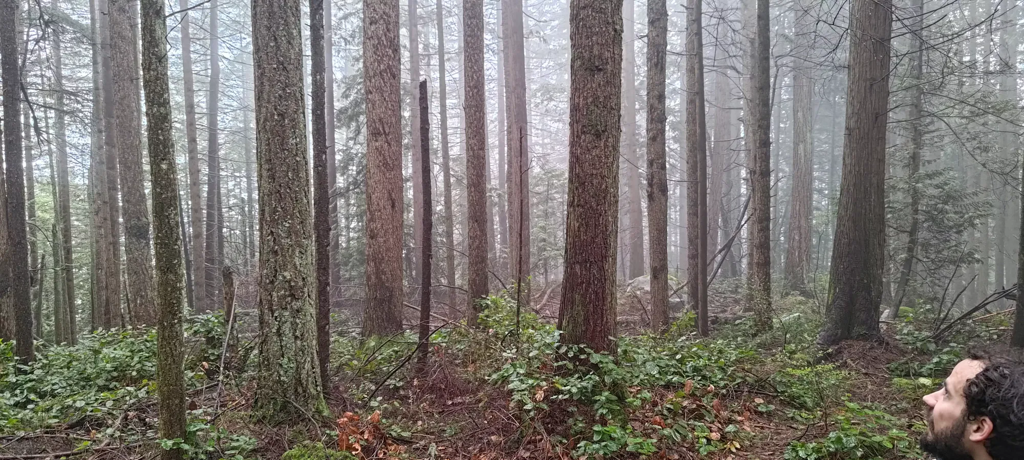
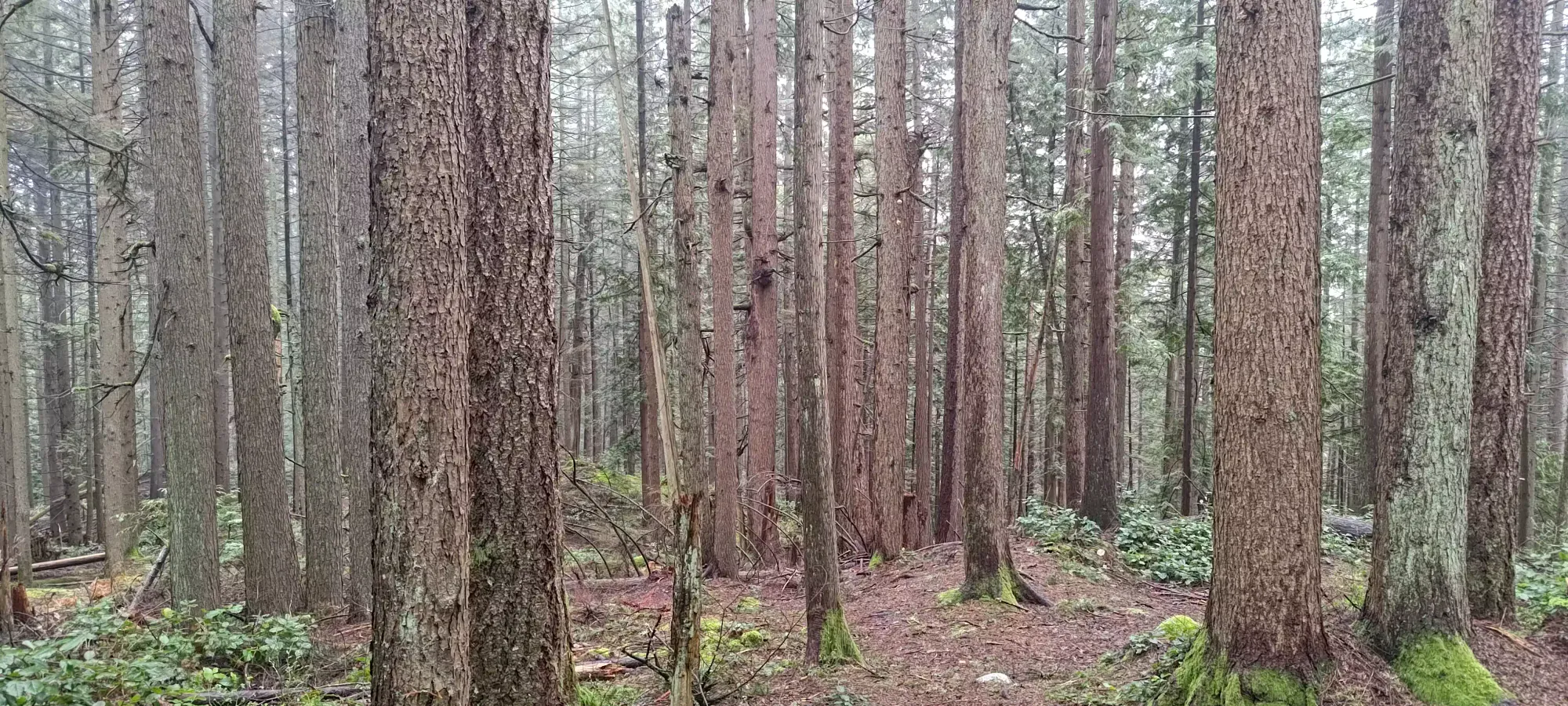
Jessica is one of those weird people who hikes to actually enjoy themselves instead of to suffer, so we took it slow+casual on the way up, not breaking a sweat. This was somewhat advantageous given I had to go for a medical appointment afterwards, and Logan had to work, and those around us probably appreciated as much 😅. We took the Springboard trail for a couple hundred metres before turning off to climber's left onto the main ascent trail for the peak. Springboard is a paved multi-use trail, whereas the ascent trail thereafter was a regular forest trail. I had seen reports online of a maze of unofficial trails making navigation difficult, but we didn't have issues, this was quite easy to follow.
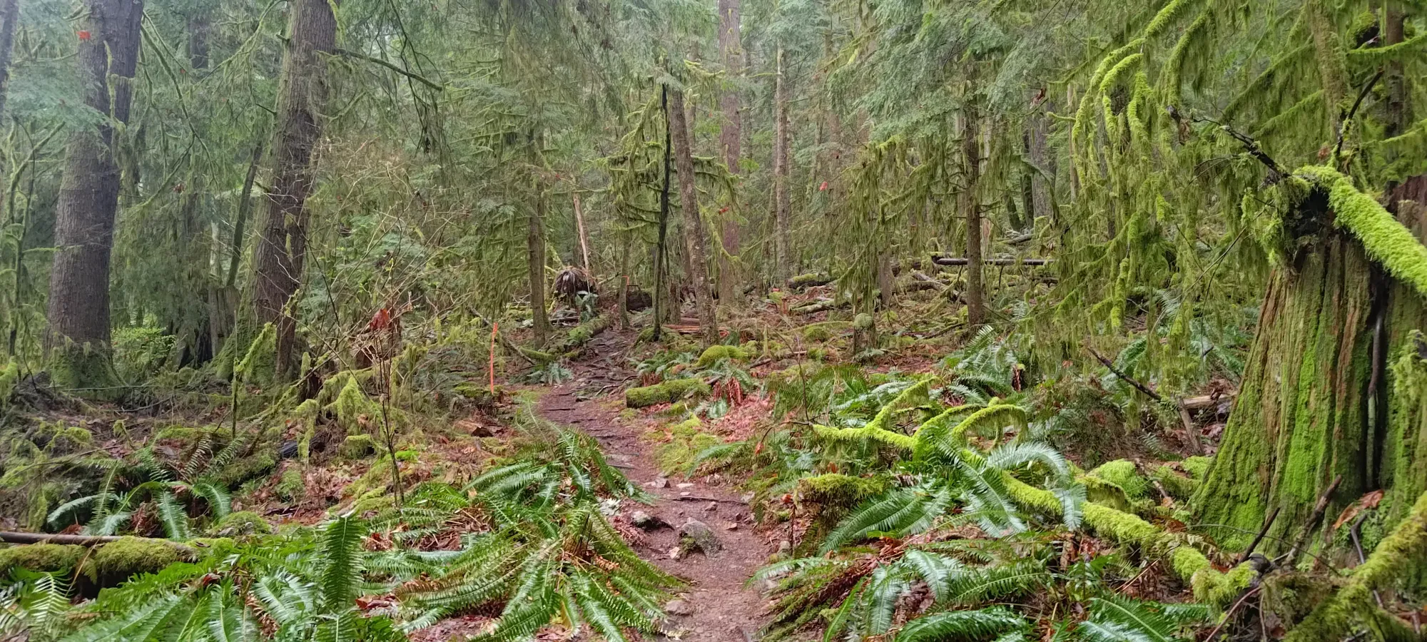
We got lucky with the weather, as on the drive down, it was pissing rain, especially closer to Howe Sound, but in Belcarra, it was totally dry. I only had my shell on to protect me from dripping trees, but I probably could've got away without that as well.
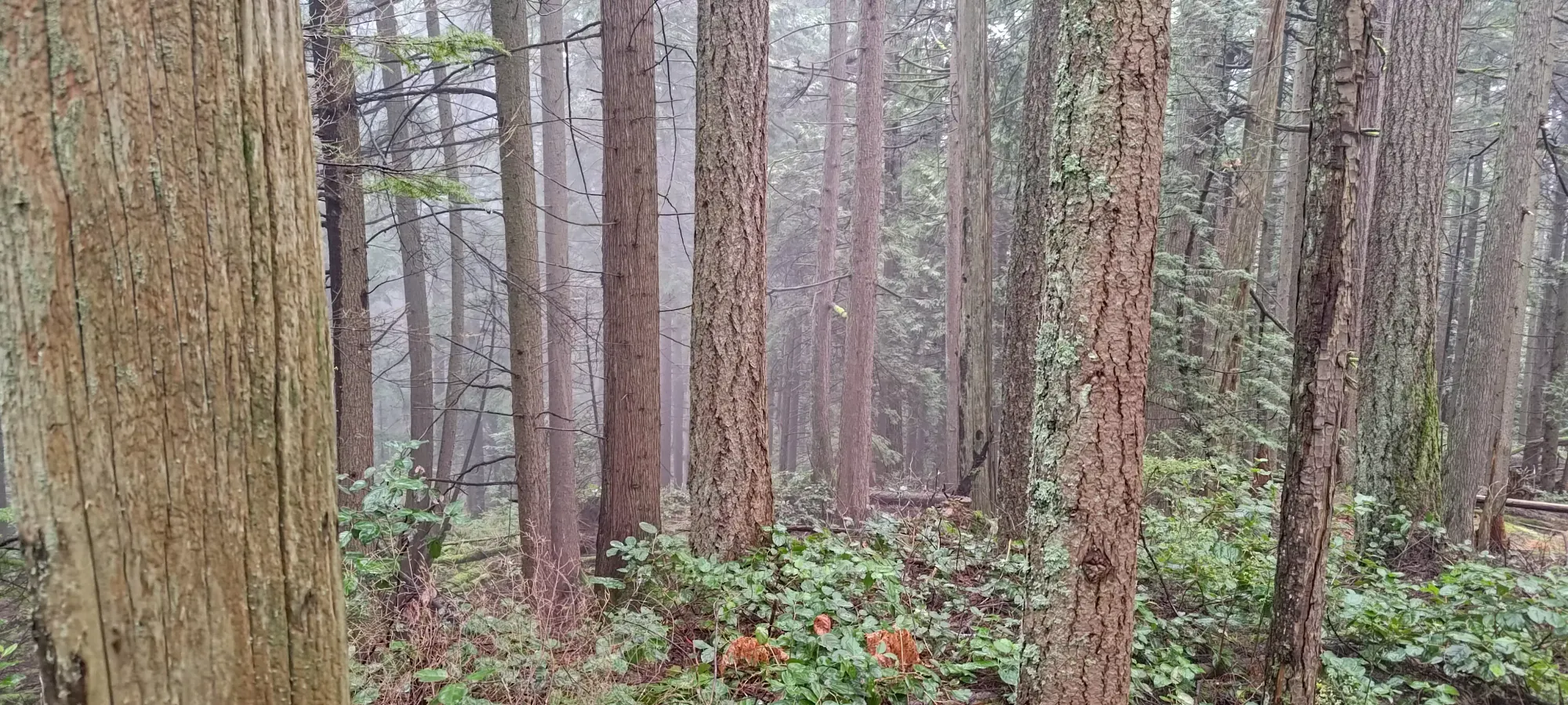
As we got near the summit (hard to say what the elevations are here since the surveyed height of the summit is 286m but many maps show closed contours above 300m), we got onto what seemed like it could be the summit at the 290m contour. Once we got past it a bit, though, we definitely did get higher further along. In the fog it's hard to see too far in the forest, but I'm quite confident in the endpoint of my track as being the summit.
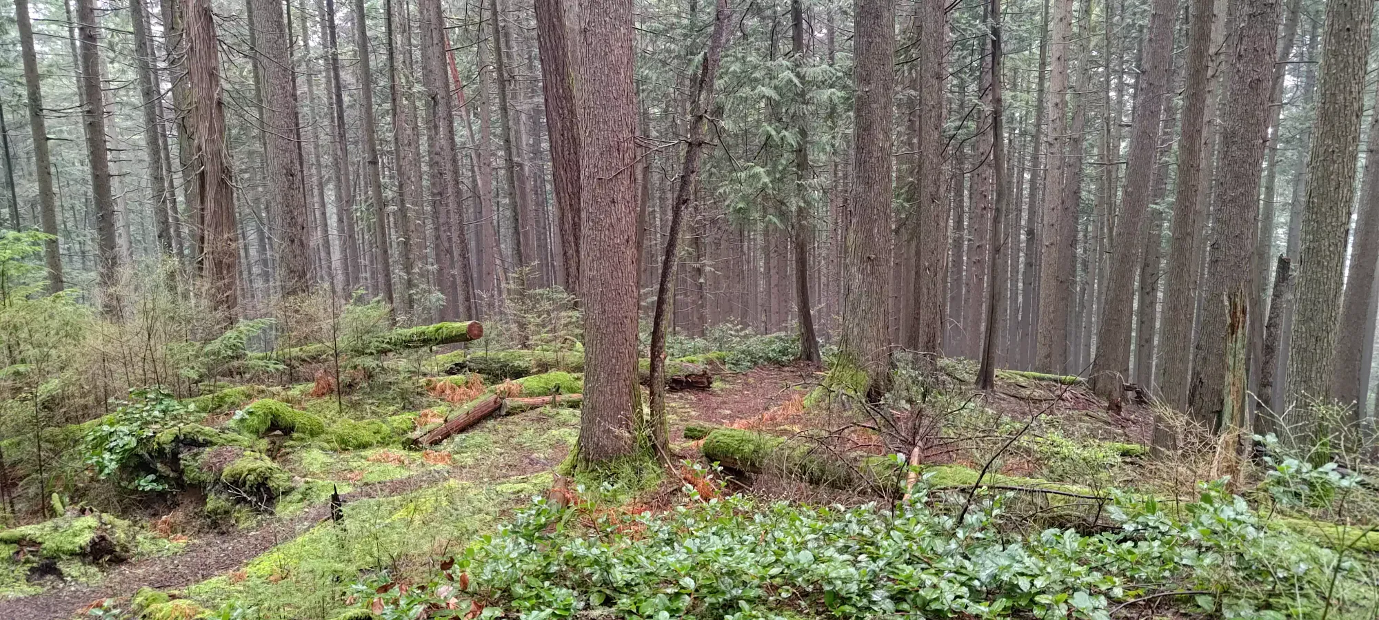
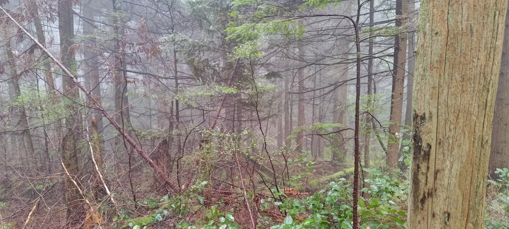
A local high point that had us checking our maps to ensure the peak wasn't here
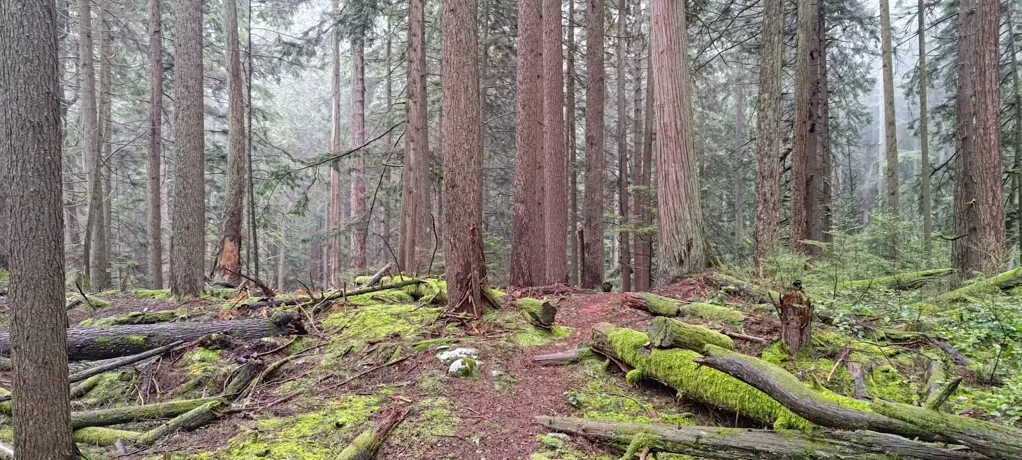
After dropping a few metres from that local high point and heading further south, we got to what definitely felt like the true summit to us, so we snapped a couple pics, then decided to head directly back instead of hitting the viewpoint (which forks off to the west, downhill, and makes the day a little bit longer) so we'd not be late for our various engagements. Getting up took 40 minutes, but this could probably be halved without considering it trail running, so you don't need much time to knock this out.
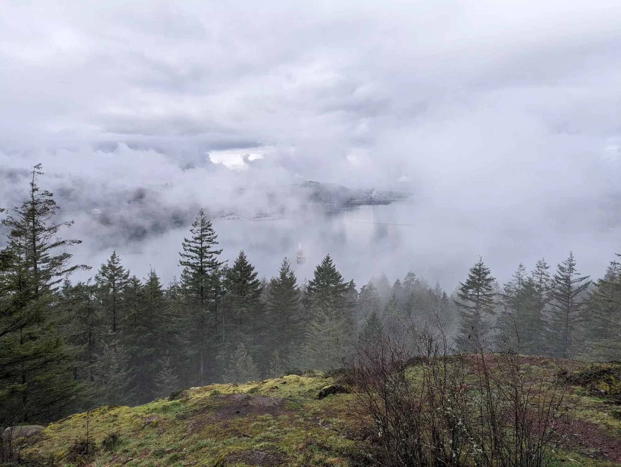
Such views. Much wow.
Logan and I descended a bit ahead of Jessica to about 250m, but apparently she took a fork at the viewpoint trail when we weren't looking, because after waiting for a while, we didn't see her, so we hiked back up to that junction to chase her down. Once we got there, it was around 9:30, so I decided to head down separately so I could make sure I was on time for my appointment, since the detour would be a decent length, and I figured they'd just take their time enjoying the views since they were going to end up there anyways.
So, I fast-walked/jogged down from the false summit area around the 290m contour back to the car solo, which DID end up making me sweat a bit after all, but it would've felt weird to not sweat at all for a summit, so I accepted the consequences of my actions 😆. That went well despite how wet the ground was, and only took 10 minutes, for some idea of how fast someone can travel here with a sense of urgency.
That gave me plenty of time to get to my appointment, and I even had time to drop some used oil off at a recycling depot that I'd had sitting in my car for a while, so that was a win! I think this is pretty much the right way to do this peak, wait until you are going to be around the area anyways, and just go for a quick detour to clean it up. Plus, if you have friends going to the viewpoint, you can still see what it looks like from their pictures 😜!
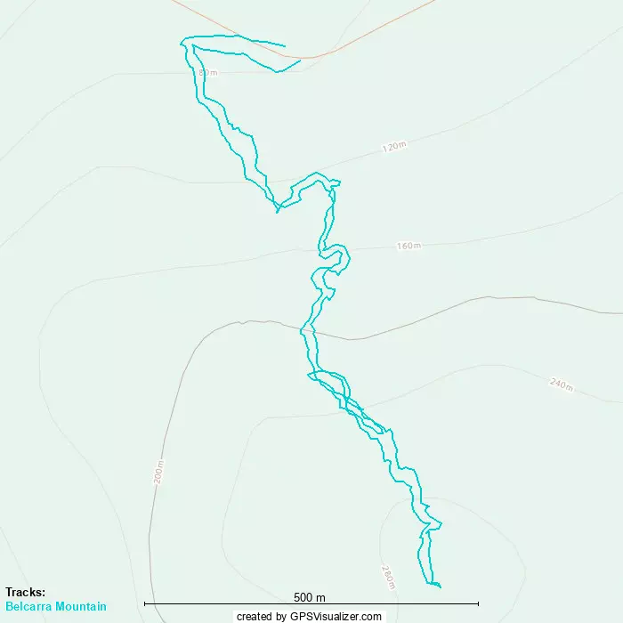
GPX Track + Map