Zupjok Peak (Zupjok ⇾ Alpaca Traverse) - January 7 2024
A fun gladed ski, more notable for being the first peak on the traverse to Alpaca Peak

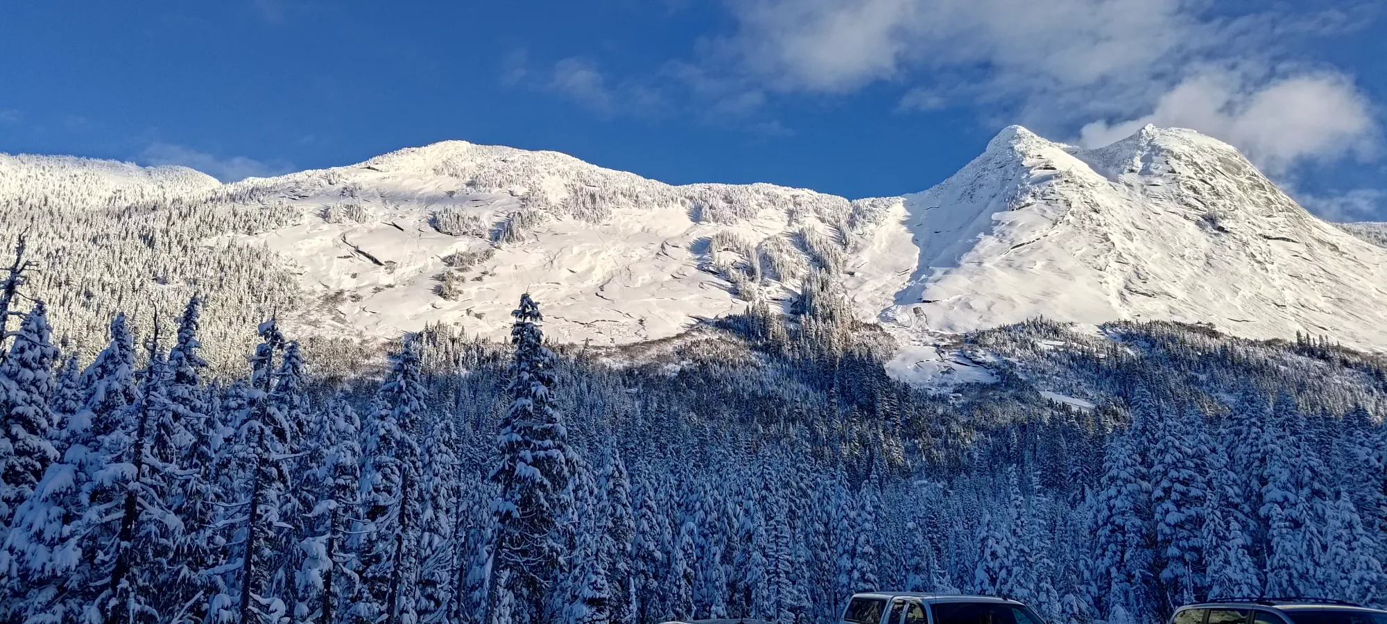
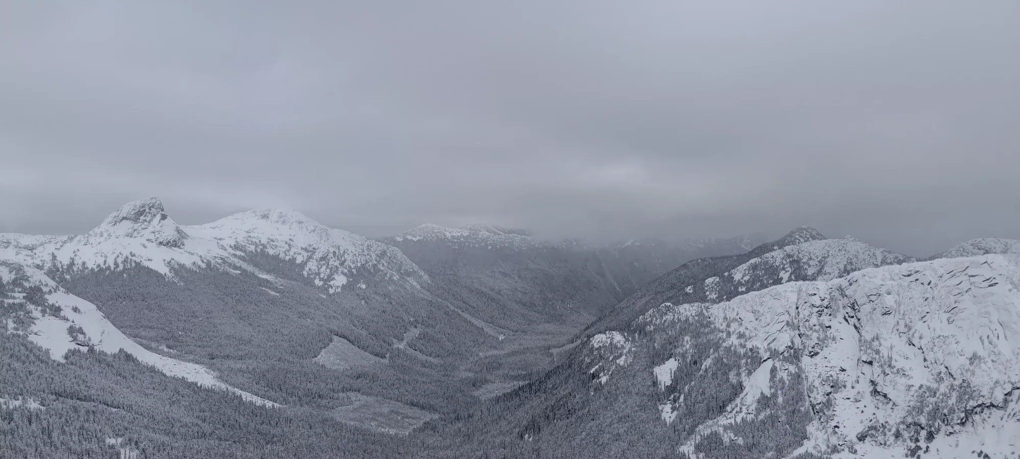
Anderson River Group, Coquihalla, BC
1835m
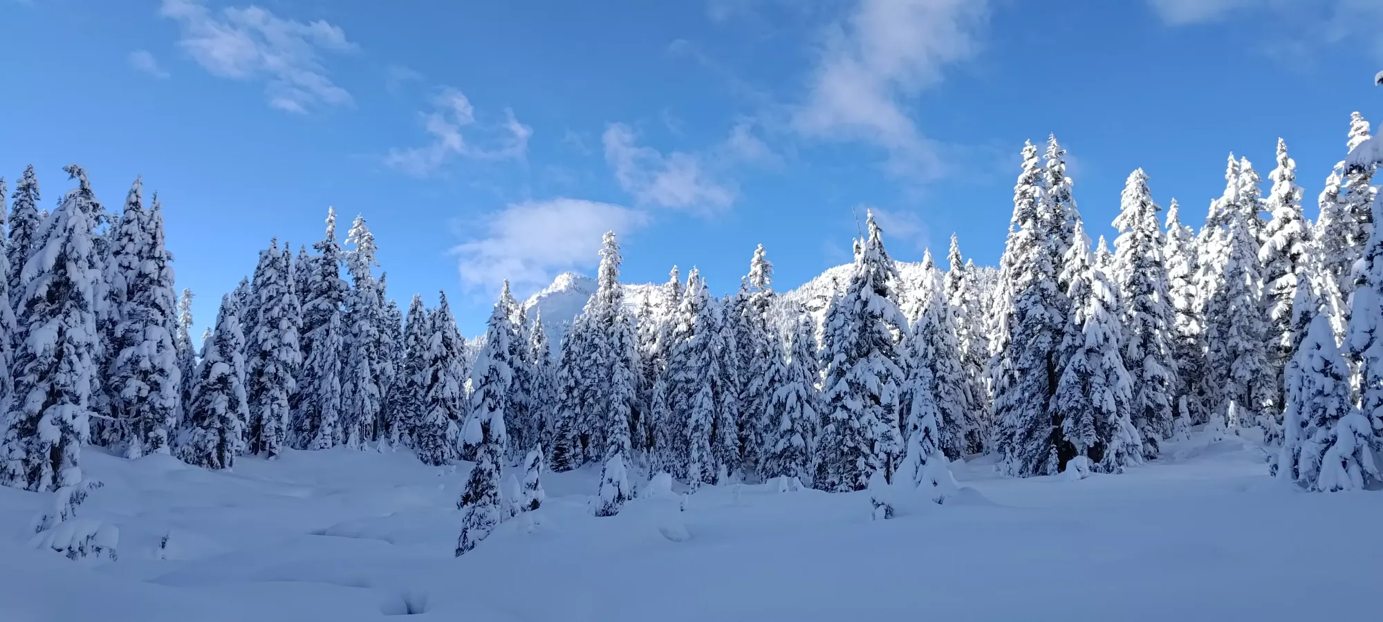
After an excellent powder day on Saturday, I figured Sunday was a good time to get some fresh tracks without the hassle of lift lines, and since the resort was going to be all chop anyways, the backcountry was the right call. Plus, you know, gotta get those summits! The trick was finding somewhere safe enough that still got us on top of new mountains. With the 40+cm of snow the Vancouver⇾Whistler corridor received, storm slabs were enough of a concern to keep us away from most stuff close to home. The Coquihalla looked a bit more stable, though, and there are a few peaks with few/no avalanche hazards, so we decided to go with the Zupjok⇾Alpaca traverse.
The "we", in this case, was myself and Tanveer, who was eager to get splitboarding for the year. We decided to drive separately since he was coming from Washington and myself from Squamish, which ended up being useful later on. After an early 5am wake-up, I rolled in to the trailhead right around 9am, with Tanveer already there ready to go. A quick gearing-up in the excellent, sunny, windless weather, and we were off at 9:08, which we expected to be "just about early enough" for about 20km and 1400 gain, at least to be able to get to the forest road by nightfall.

I let Tanveer take the lead at the start, since his pace management has generally been a boon for us in the hikes we've done together. He led us up the ~3.2km of shallow forest-road skinning (on a very nice skin track) in the first hour, after which the track deviated off towards the Iago-Zupjok col. Sadly, there's no "official" route up Zupjok, and people seem to do a whole lot of routes between "go all the way to the col and stay on the ridge" to "cut up the southern flanks much earlier", so we just followed the skin track into the forest, hoping it would be going to Zupjok, and vowing to wait until we actually hit the col to give up, hoping to have easier travel for as long as possible.
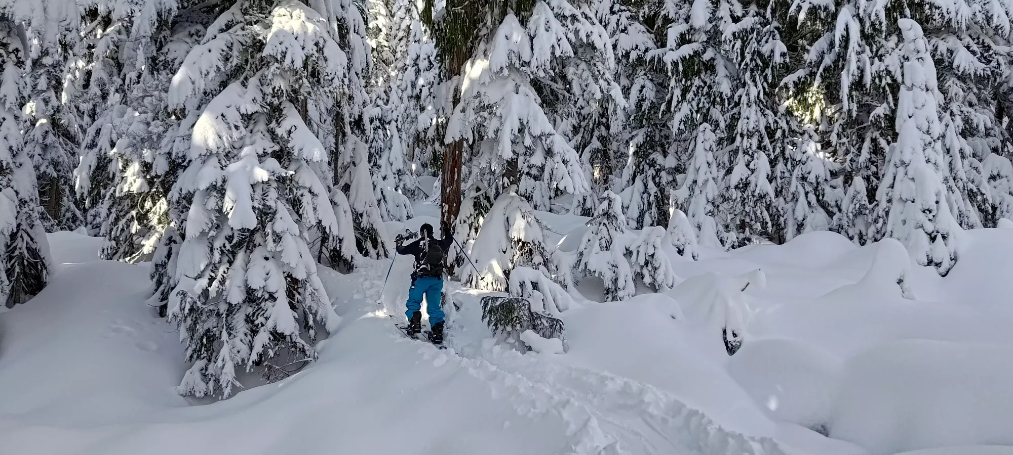
Sadly, the forest didn't go as well, Tanveer seemed to have some skin issues, and wasn't getting traction where one would expect to have it, and we spent quite a while getting through a few steeper sections. He actually had to put his ski crampons on just to keep going, and we hit the col just under 2 hours in to the day, where we were disappointed to discover that the trail went to Iago after all, and so we'd have to break trail from 1450m up for the rest of the day.

We swapped leads at this point, since I was moving a bit faster, and apparently have a knack for finding navigable lines in the forest (I do enjoy myself some tree skiing). The trail-breaking was pretty rough, often up to 20cm of ski penetration, but since my gear wasn't giving me any trouble, I was able to keep my pace up and even stay ahead. That felt good from a personal fitness perspective, but from a "chances of summiting all the peaks" perspective, our pace was quickly falling behind what we'd planned out.

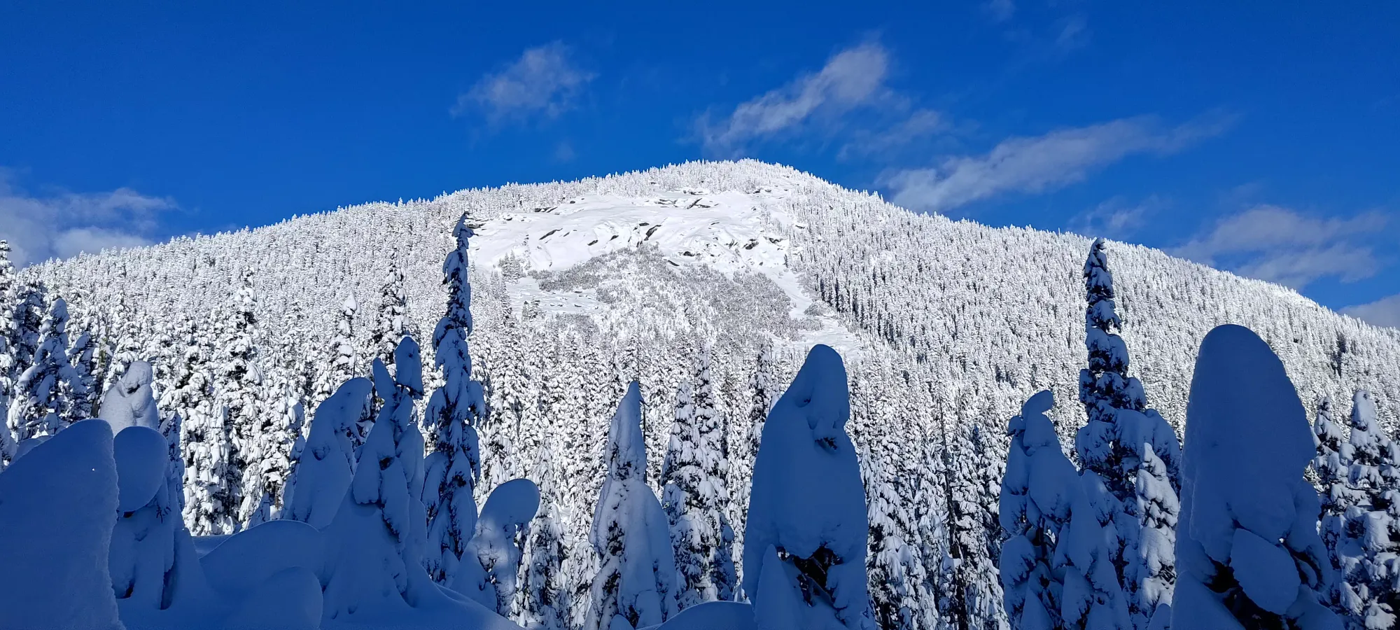
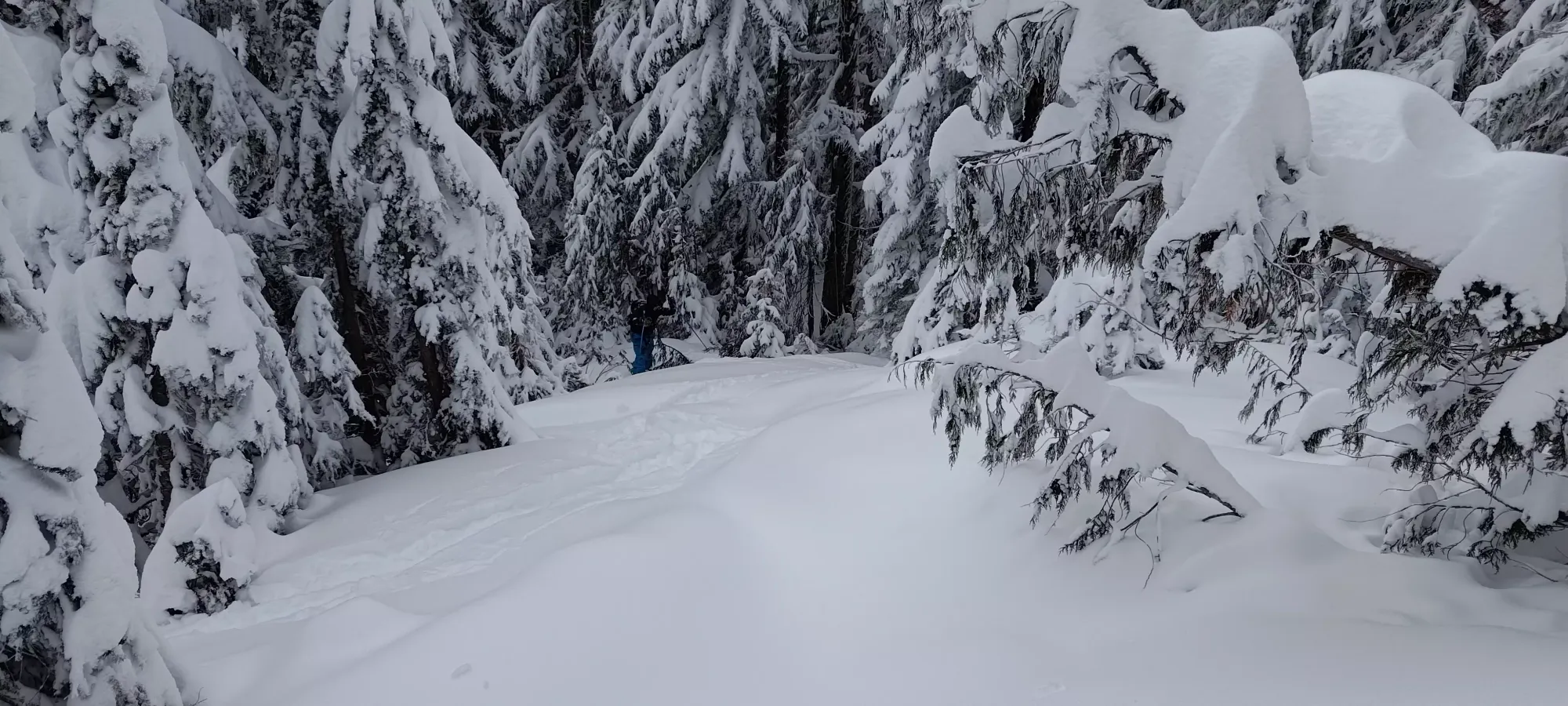
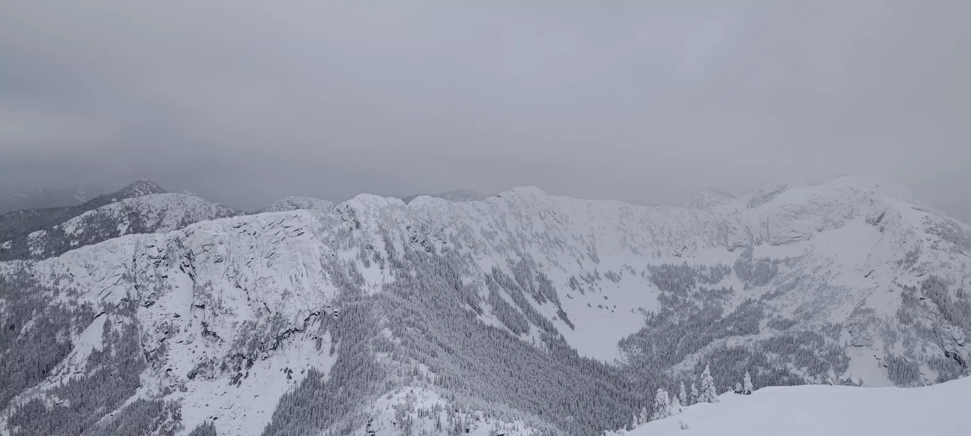
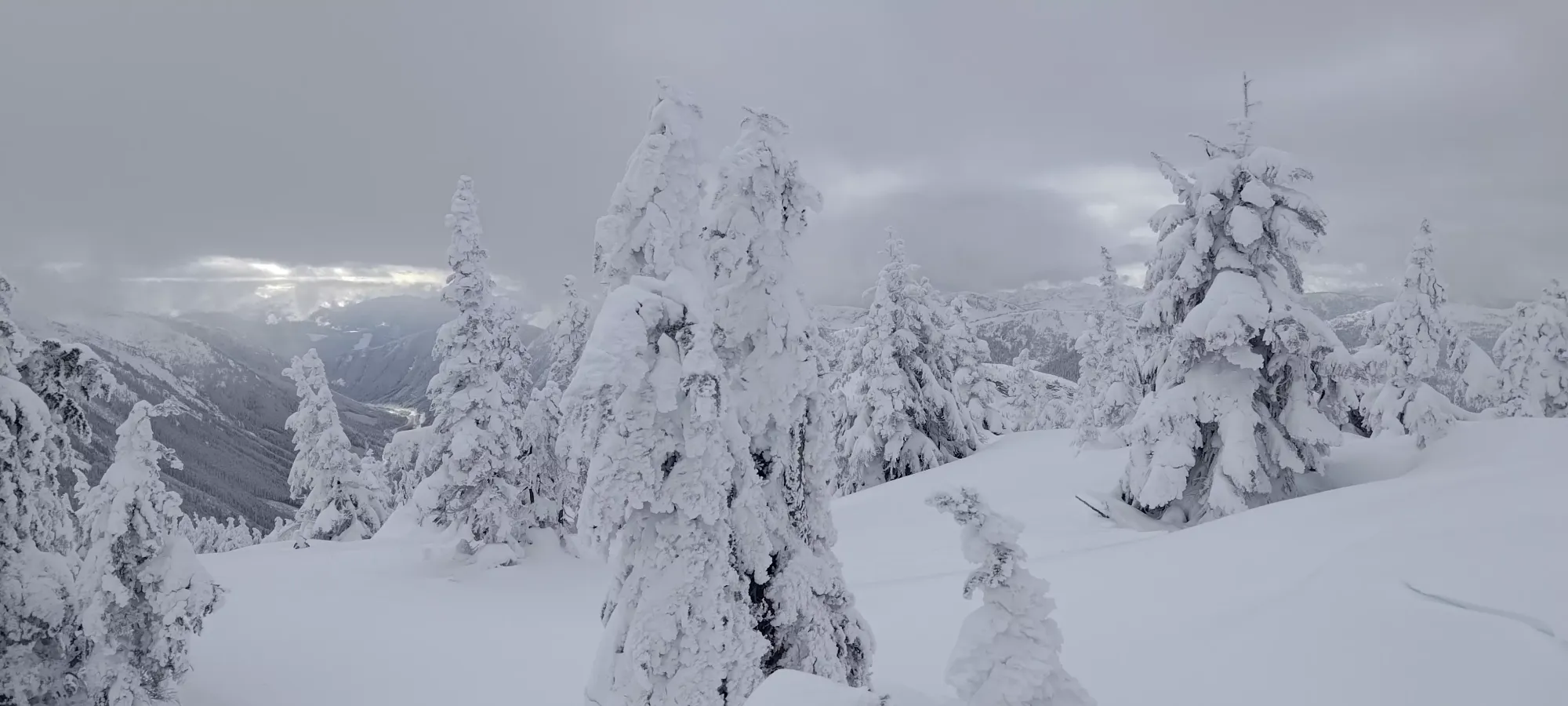
In an hour since we turned up the ridge, we'd only got up to ~1640m, and the original plan was to have been on top of Zupjok at this point, which wasn't ideal. I was getting worried about the time, so I did my best to just blaze ahead and ensure we kept moving up. On the plus side, while there were a few tight spots in the forest up to this point that I was a bit worried I might not be able to "ski" as much as "carefully slip/step down", things were opening up a bit more, and there were more clearings than denser sections of forest now, which should've helped with both the descent, and with making the skin track a bit easier to follow.
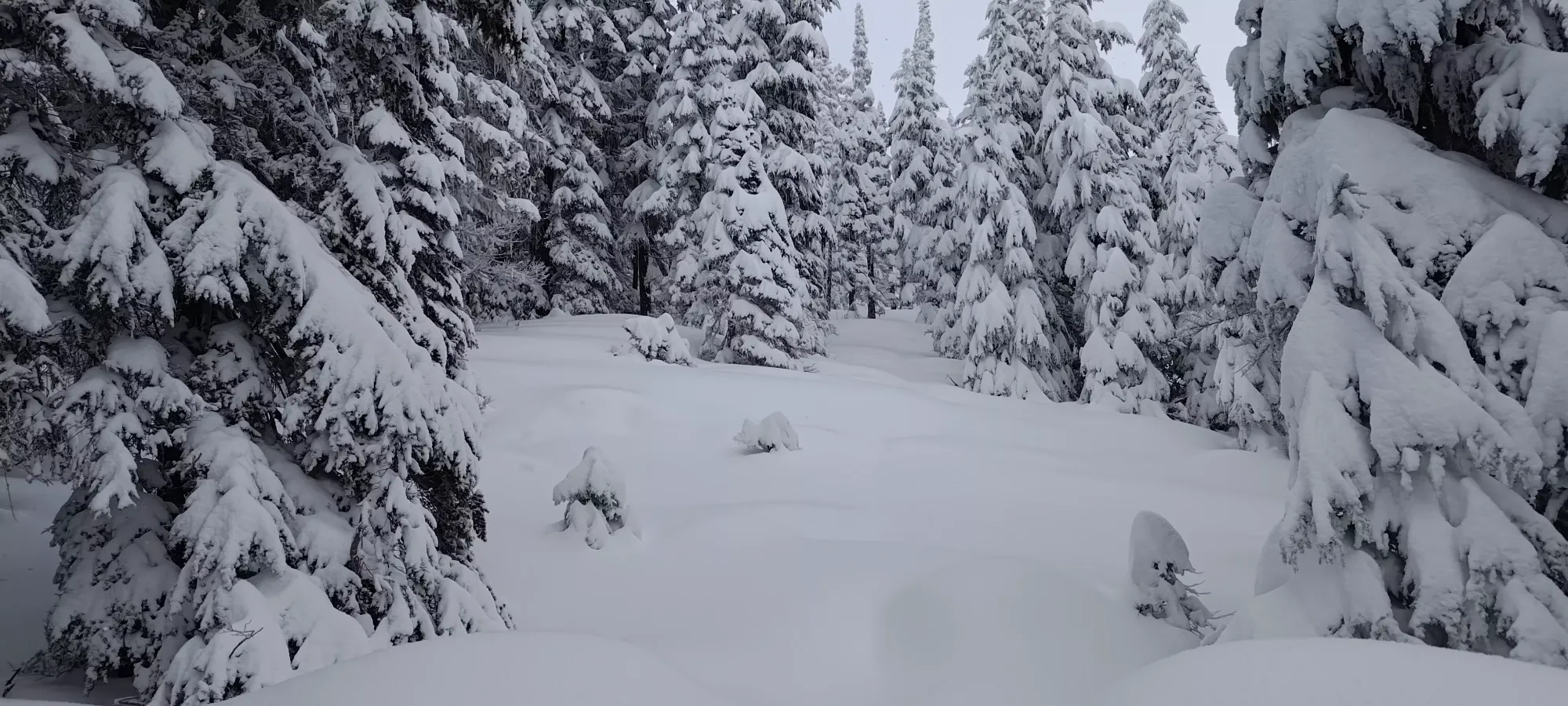
We continued the trudge up, with things definitely improving a lot navigation-wise at this elevation, though I think the overall steepness and amount of switchbacks necessary were taking a toll on Tanveer still, so we didn't really speed up. At 12:30 we hit 1740m, and things changed from "moving from clearing to clearing" to "predominantly open terrain".

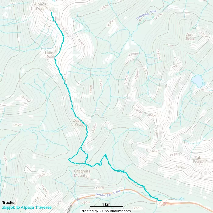
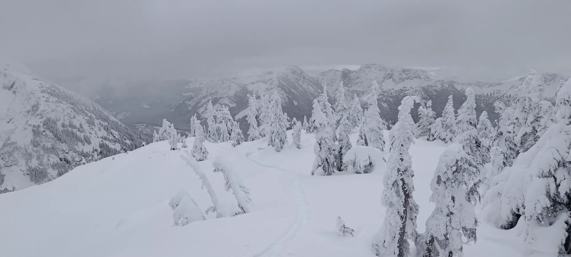
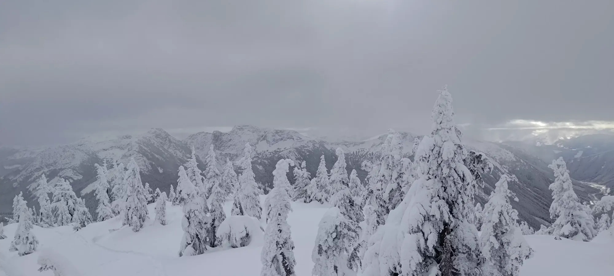
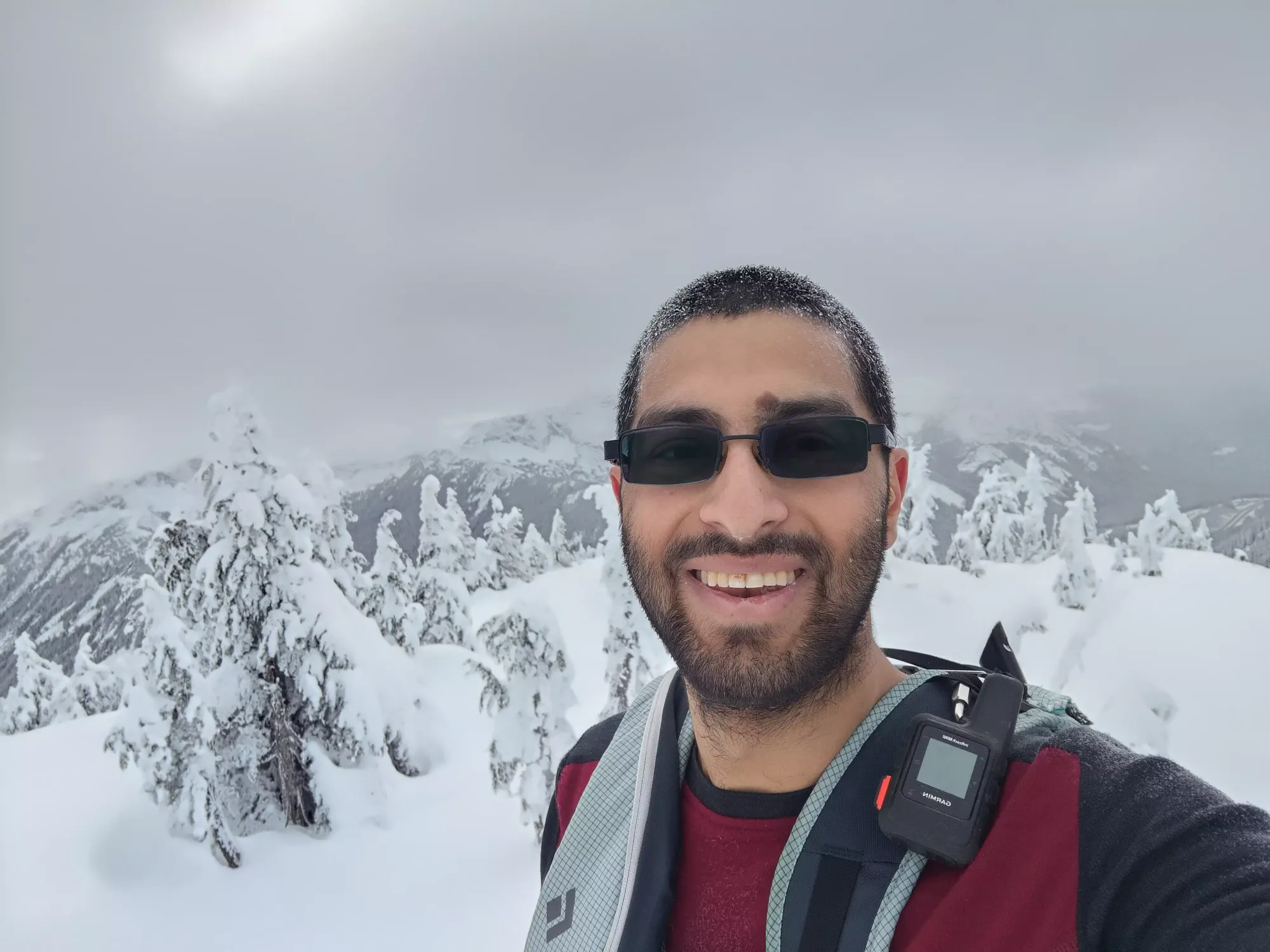
Once we got to this point, I blazed ahead a little bit faster, figuring I'd be able to assess the terrain at the summit, take pictures, possibly transition if necessary, etc. ahead of time to try and hopefully have a little more time for further summit bids. We'd discussed the likelihood of having to call it at Zupjok on the way up, so I wanted to set up the best chances of being able to make the push on ahead, since I wasn't really "enjoying" the forest, and didn't really feel like repeating it to get the other 2 peaks on some other date. I banged out the last 100m in 15 minutes, and summited right about 12:45pm, with some pretty nice views to boot. The snow almost the whole way up was deep and soft, great for skiing, but not so great for trailbreaking. The final 50m or so towards the summit did show a bit of wind crust which was annoyingly either breakable or solid, but could be largely avoided by staying on the western side of the ridge.


I was up on the summit for 5-10 minutes before Tanveer showed up. Once he did, he confirmed he didn't have any intent to go past Zupjok, since the skinning was taking him as long as it was, and he also wasn't super looking-forward to the tighter treed descent, and wanted to approach it with ample time and daylight. He did suggest that I go on myself, though, as he was comfortable tackling the terrain himself, and we had great cell service to stay in contact, as well as separate cars. I was happy with the safety of the route beyond, and figured I could at least push to Llama if not also Alpaca, as my cutoff was "get out of the descent parts of the traverse by dark"; my mental state more or less being "I'd rather ski this out in the dark than have to repeat it for the extra peaks". So, with that decided, and a generous gift of some extra water from Tanveer (I actually forgot mine in the car; I'd taken it out of my bag since I was worried about it leaking onto my skins/gloves, but I forgot to put it back in before leaving 🙃), I got myself ready to traverse over to Llama Peak.
GPX Track + Map