Llama Peak (Zupjok ⇾ Alpaca Traverse) - January 7 2024
The middle peak in the traverse from Zupjok to Alpaca Peak, with some nice, open ski terrain for your money

Anderson River Group, Coquihalla, BC
1914m
This trip report picks up from that of Zupjok Peak, which I'd previously summited to start the traverse over Llama towards Alpaca, the end of the ridge traverse in question.
With time now being of the essence since it was already 1pm, I made the call to not rip my skins for as long as possible, even at the expense of losing quality skiing. As such, I cut a rather awkward, very much not aesthetic (as the kids say) line down to the first bump, losing about 80m before having to regain 60 of it back, then losing that same 60 right after on the other side, and finally after that I could start the 200m "real gain" to the next summit. Undulation sucks!!!

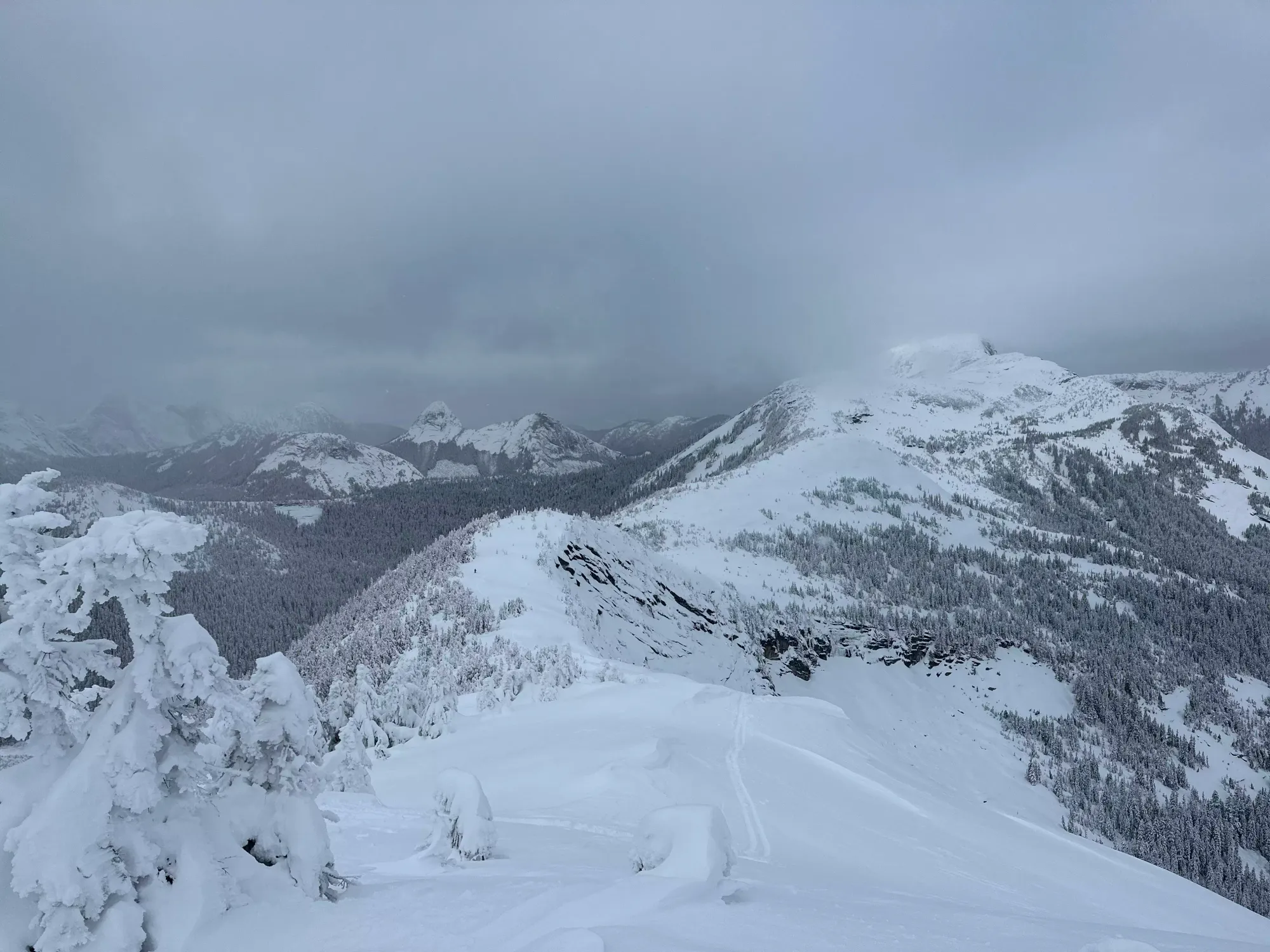
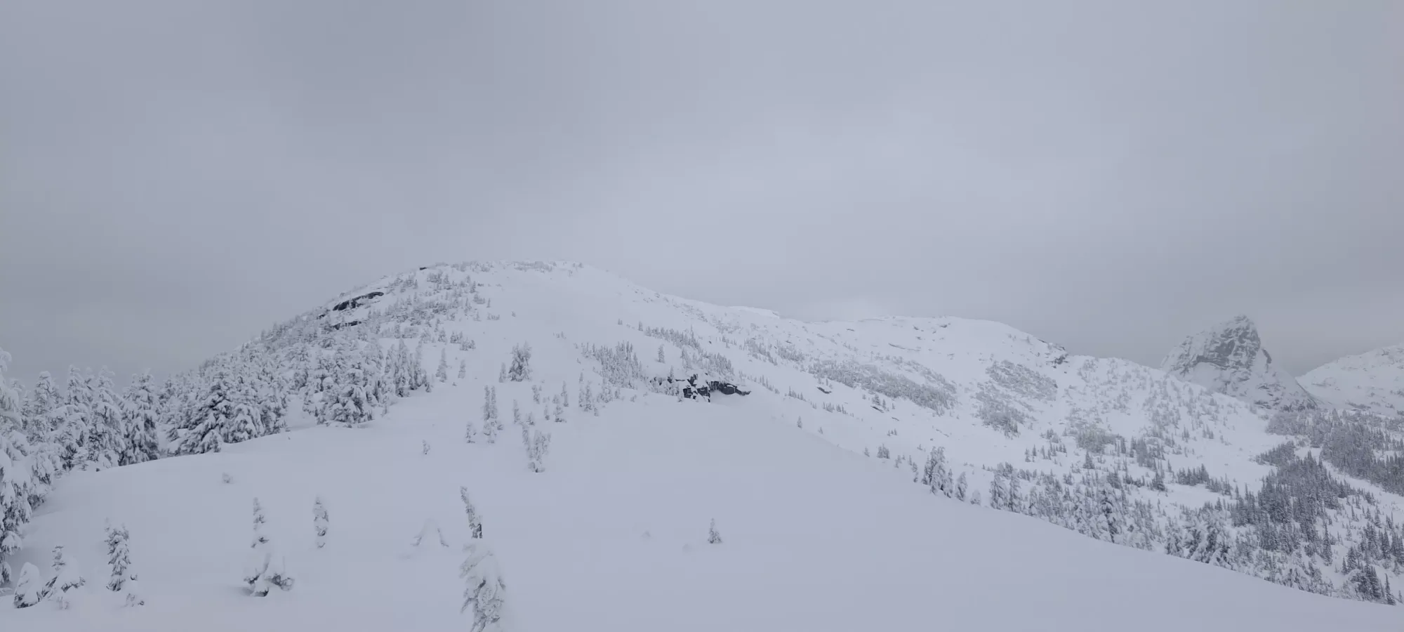
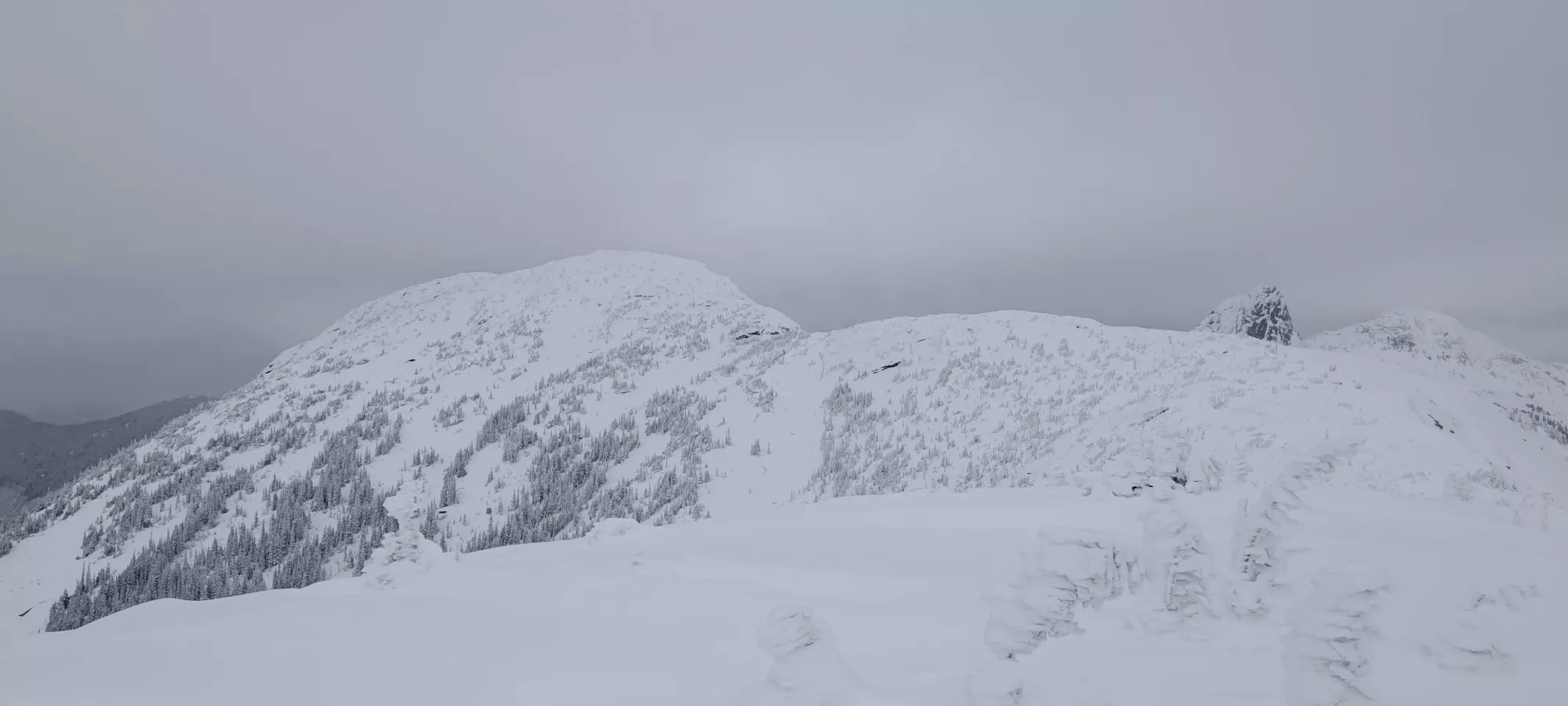
The first bump took about 10 minutes to get down to, up, over, and down the other side of. Once there, I basically just came up the most mellow/easy terrain I could, generally trending to climber's left for better snow and less exposure, as the ridge rolled of a bit more steep to the right. I think during this traverse I either went insane or reached a higher level of enlightenment, because I started seeing mirages of faint tracks in the easiest terrain to follow. I knew they didn't exist, but if I didn't think about it I could convince myself they were there, full-on crazy person behaviour. It did work out well, though, and I got up to the "final bump" in about 15 minutes. The descent off of this one was a bit simpler too, and I basically just straightlined it in my skins to the bottom of the col, with "only" 200m of elevation between me and my goal.

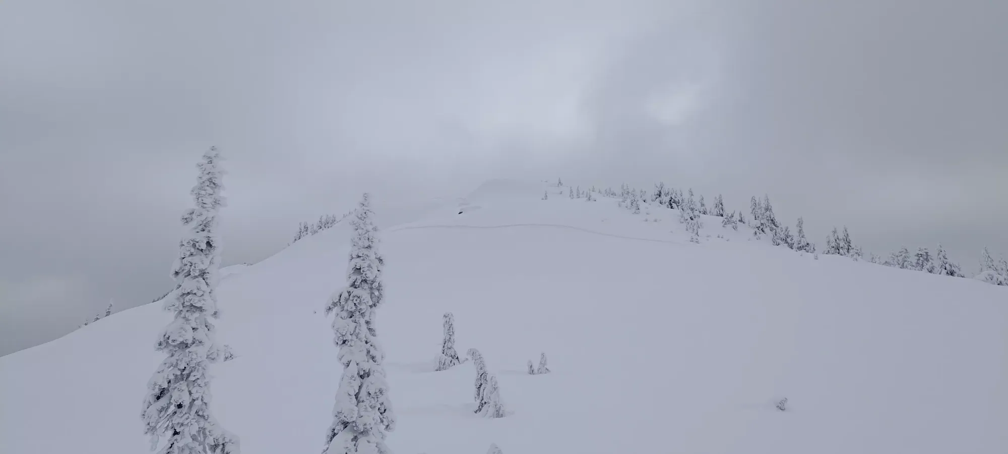
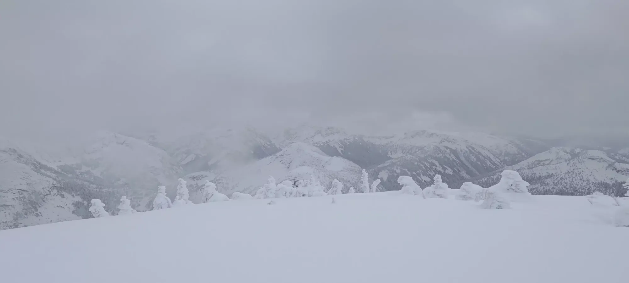
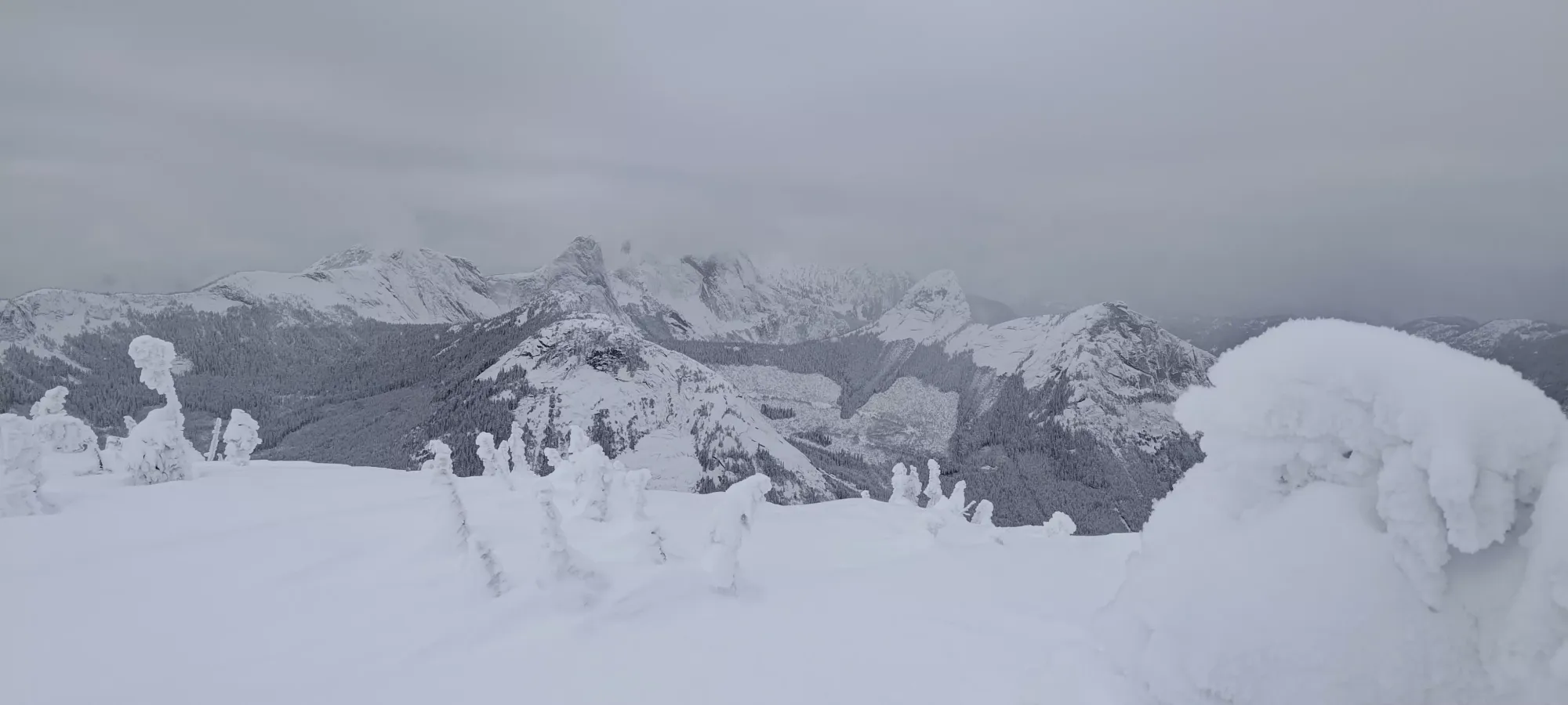
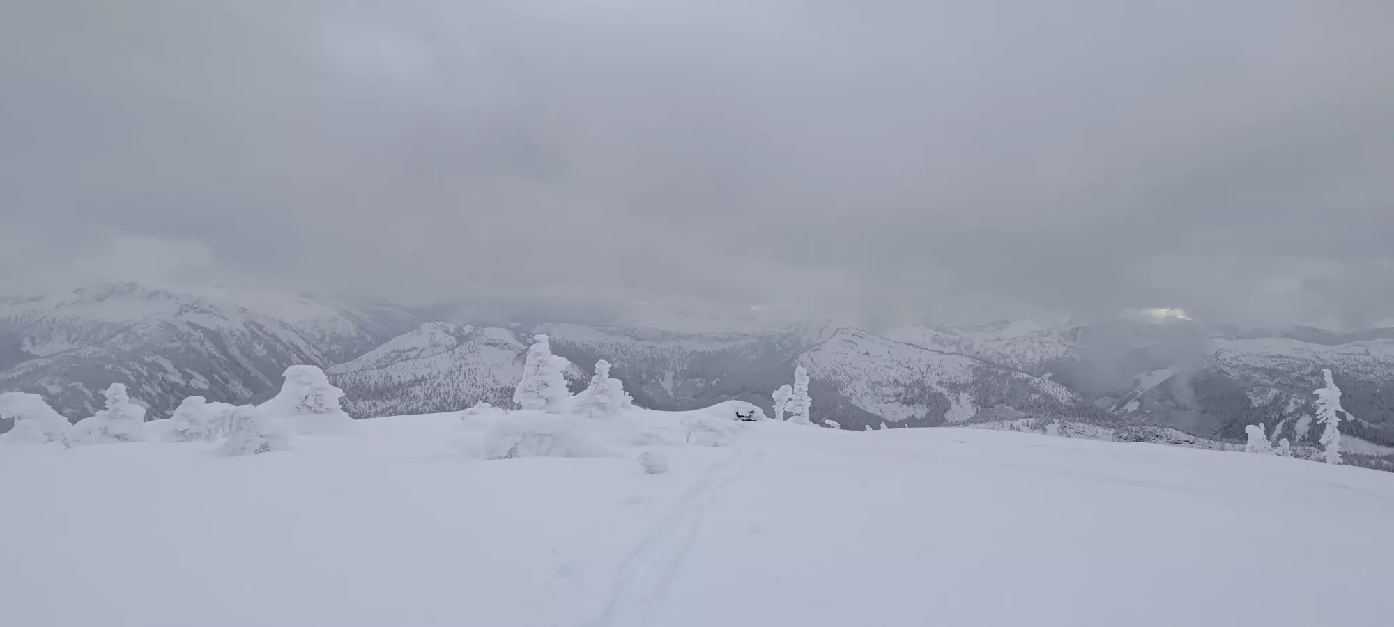
The walk up to Llama from there was quite straightforward, and I managed to grind it out in 30 minutes, which for breaking trail in fairly deep snow, I was quite pleased with. The nice thing (once you get past the earlier bumps) is that there isn't really a false summit, what you see on the way up is the top, which is always a nice morale boost. I got to the very broad summit at about 2:15pm, where I took a couple hasty pictures and planned my next steps. For whatever reason, my phone was dying very quickly (even though I wasn't doing anything with it), so I slapped that into uber-power-saving mode, checked how much elevation was left (a bit over 150m) for Alpaca, and decided that I could make it, so I set off to the final peak with no time to waste!


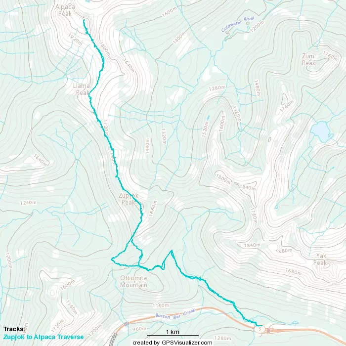
GPX Track + Map