Zoa Peak - February 17 2024
A classic, easy ski tour in the Coquihalla Summit area

Anderson River Group, Coquihalla, BC
1869m
Continuing the trend of the lowest snow season in recent memory in Western Canada, as the weekend approached, I was desperately searching for good snow in a neighbourhood near me. The week had brought cold temperatures near home, but also strong outflow winds stripping northern aspects and loading southern ones, making the Sea to Sky a bit spicy for a ski peak, especially solo as I would be. Not to mention it was going to warm up starting Friday and through the weekend. The Coquihalla, though, looked like it was going to stay cold a day longer, and didn't have those same strong winds stripping the new snow from earlier in the week, so I figured that would be a good place to go. Since I was solo, I decided the classic, mellow Zoa would be a good choice, with the option to try and traverse over to Zopkios if conditions permitted (saw no beta of doing this online, so wasn't committed). So I set out with a casual start, and got to the trailhead at around 10:30am (plowed but packed snow once on Falls Lake Road).
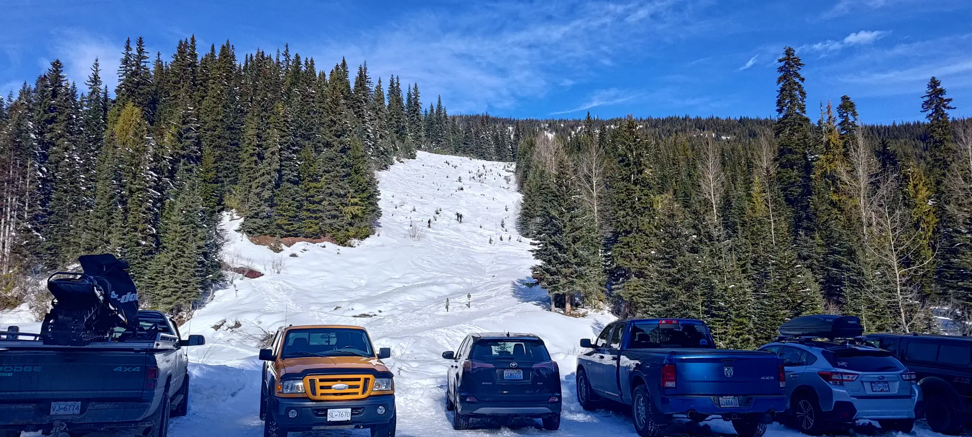
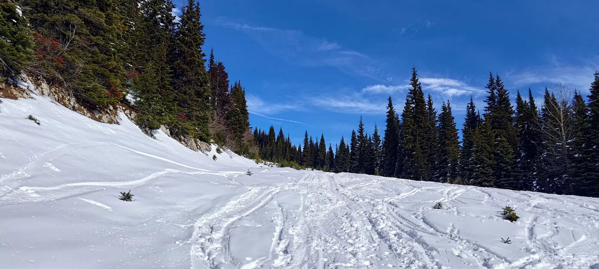
After gearing up quickly, I got moving at 10:37am. The creek crossing was narrow but bridged, and then it was a simple matter of skinning up the open terrain (think it is a road at some point higher up) visible above to its high point at around 1550m, where the path for Zoa curves west onto the broad ridge. I had to stop to de-layer a few minutes in, but otherwise it was a simple grind up a very-well-defined skin track, taking just over 35 minutes to hit this turnoff.
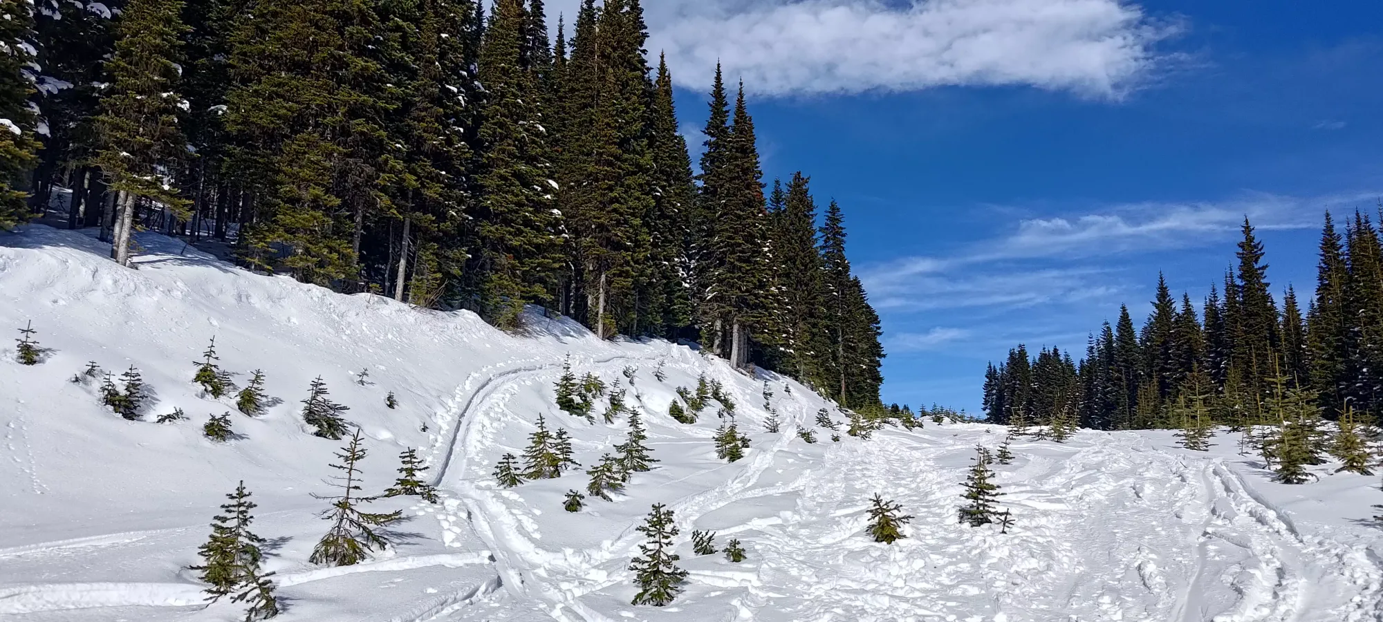
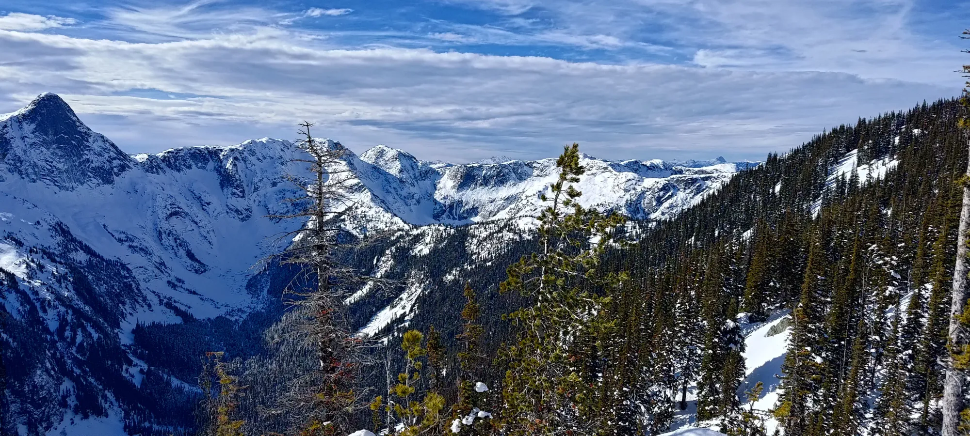
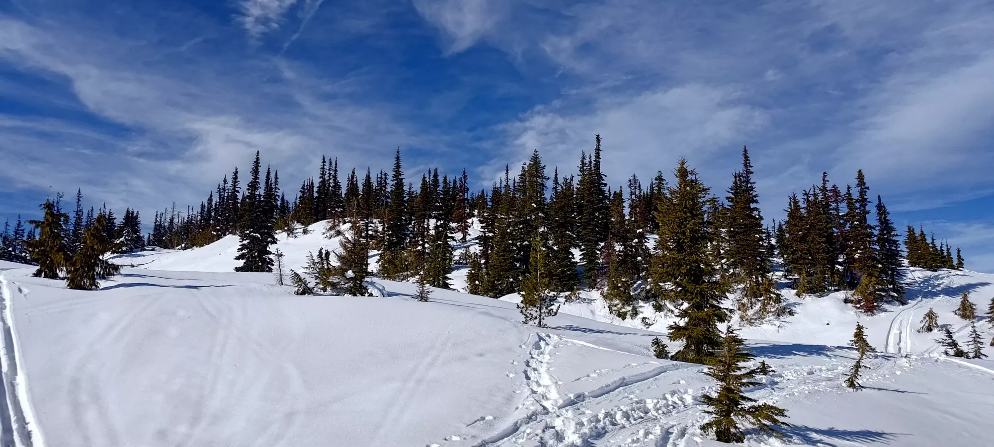
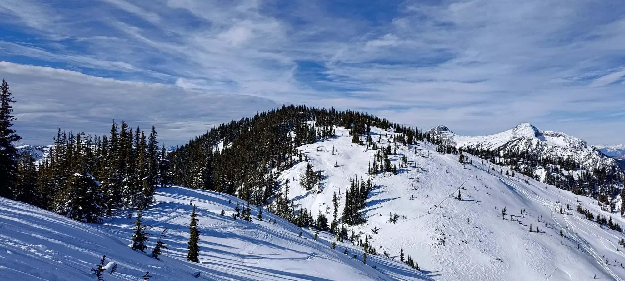
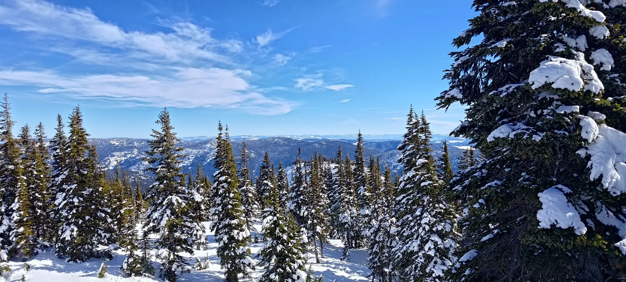
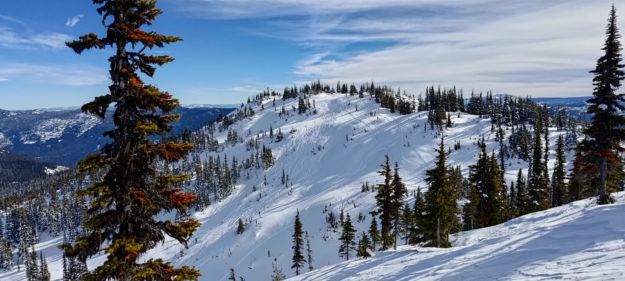
The forest goes for another couple hundred metres of elevation before opening up onto the treeline summit ridge (no real alpine on Zoa). In half an hour, I got up to about 1770m, where the ridge had a few bumps leading towards the first "summit", an 1828m sub-peak where many skiers stop to do their laps.
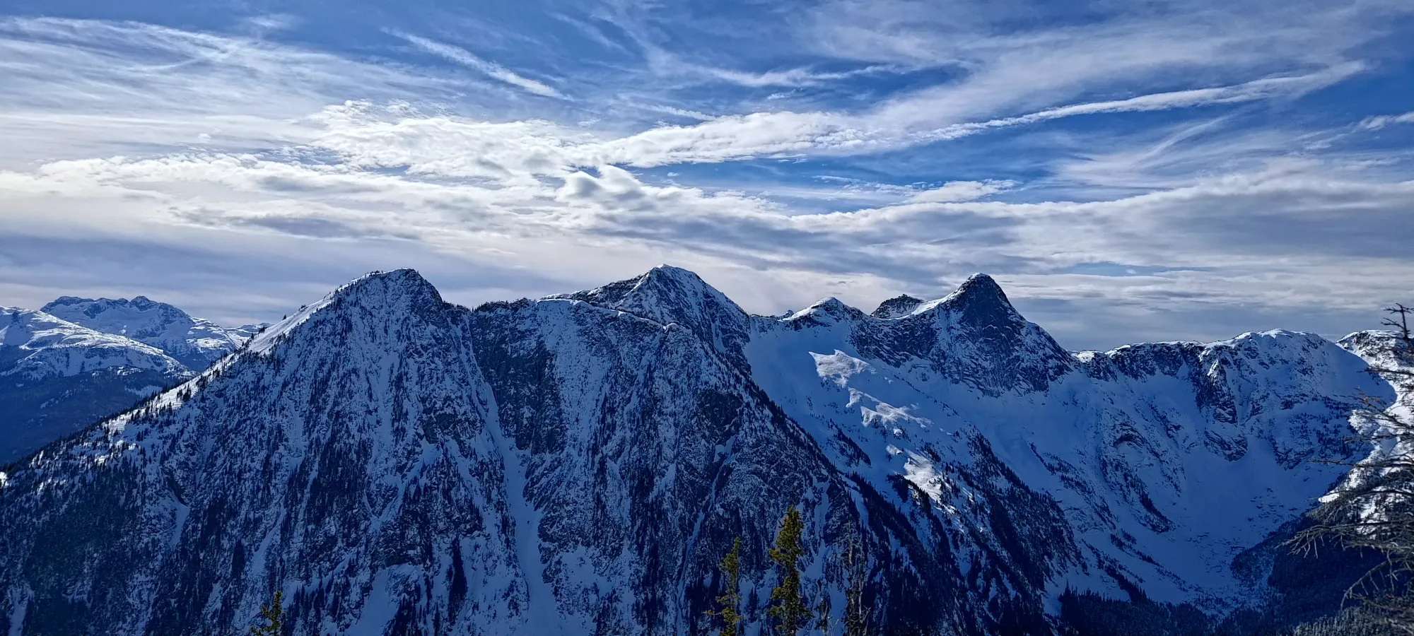
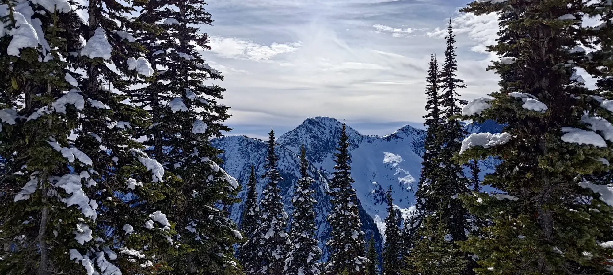
From there, it was less than 10 minutes to the sub-peak, which had a nice viewpoint where I took a couple photos. It took a total of about 80 minutes from trailhead to here without getting super sweaty, so definitely one of the easiest summits to attain (even if it's a false summit).

Once I finished taking my pictures, I had to decide how to get to the true summit. I decided on the lazy approach, and did not bother to rip my skins, and just slid down, sticking close to the col to avoid elevation loss. This worked well, and got me excited for the skiing back, since the snow felt cold, unconsolidated, and light (if a bit surface-hoar-y). From the col, I picked up a steep skin track up to the true summit, and in a bit under 20 minutes (less than 100 from car to top!), I was on the top. The true summit of Zoa is actually gentle, forested, and doesn't have as amazing views, so only peakbaggers should bother going there.
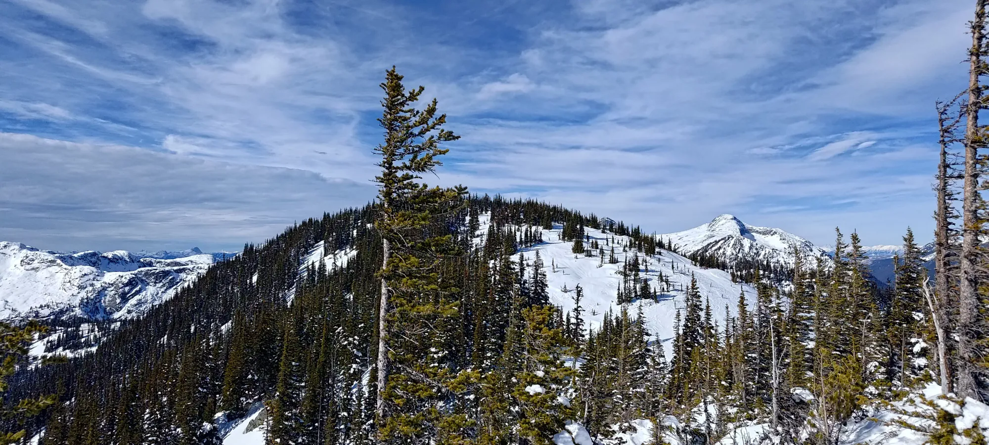
After the obligatory summit photos, I decided to see how the traverse to Zopkios looked, since I had plenty of time, and I did bring the gear to deal with most stuff, as long as it looked doable. Sadly, after I started wandering down the ridge (skins still on), I found "dense but technically skiable" trees, but a steepening slope, absolutely no tracks, and most notably, I couldn't really get eyes on the whole thing at once. After about 15 minutes of wandering down a few dozen metres of elevation, I decided it looked too sketchy to do solo on skis (especially the steep descent into Zopkios Bowl), and turned back, deciding it'd just be a ski day from thereon out.
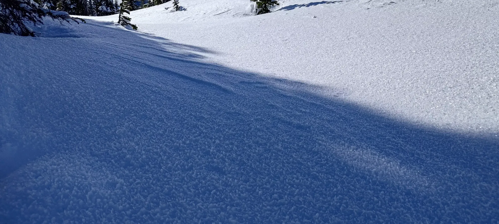
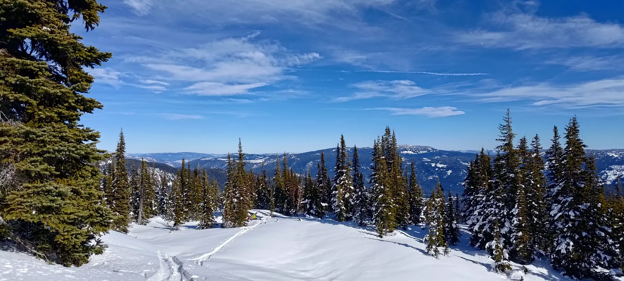
After skinning back up and transitioning to start my descent, I'd "only" lost 25 minutes wandering around in the nothing terrain, which really wasn't all that bad. The day was so short I was still feeling fresh. I skied down some excellent, light powder to about 1765m, where there was a communally-decided "transition spot" between the false+true summit, a bit below the col, where people had flattened out a spot to re-apply skins and go back up, or continue skiing down some runs off the north side of the mountain. I didn't know that terrain really, and there was plenty of untouched powder in this ~100m of fall line, so I just decided to lap stuff here. I also met a snowboarder who I'd seen at the parking lot here, who was happy to hang out with me, which was nice since it meant I could justify skiing steeper lines as I had a buddy now!
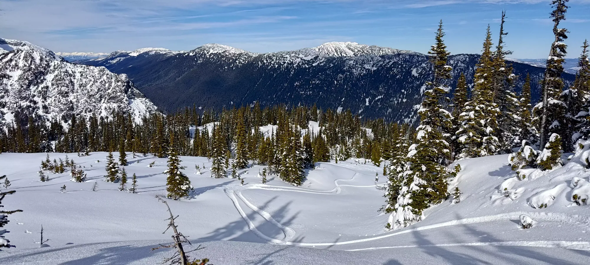
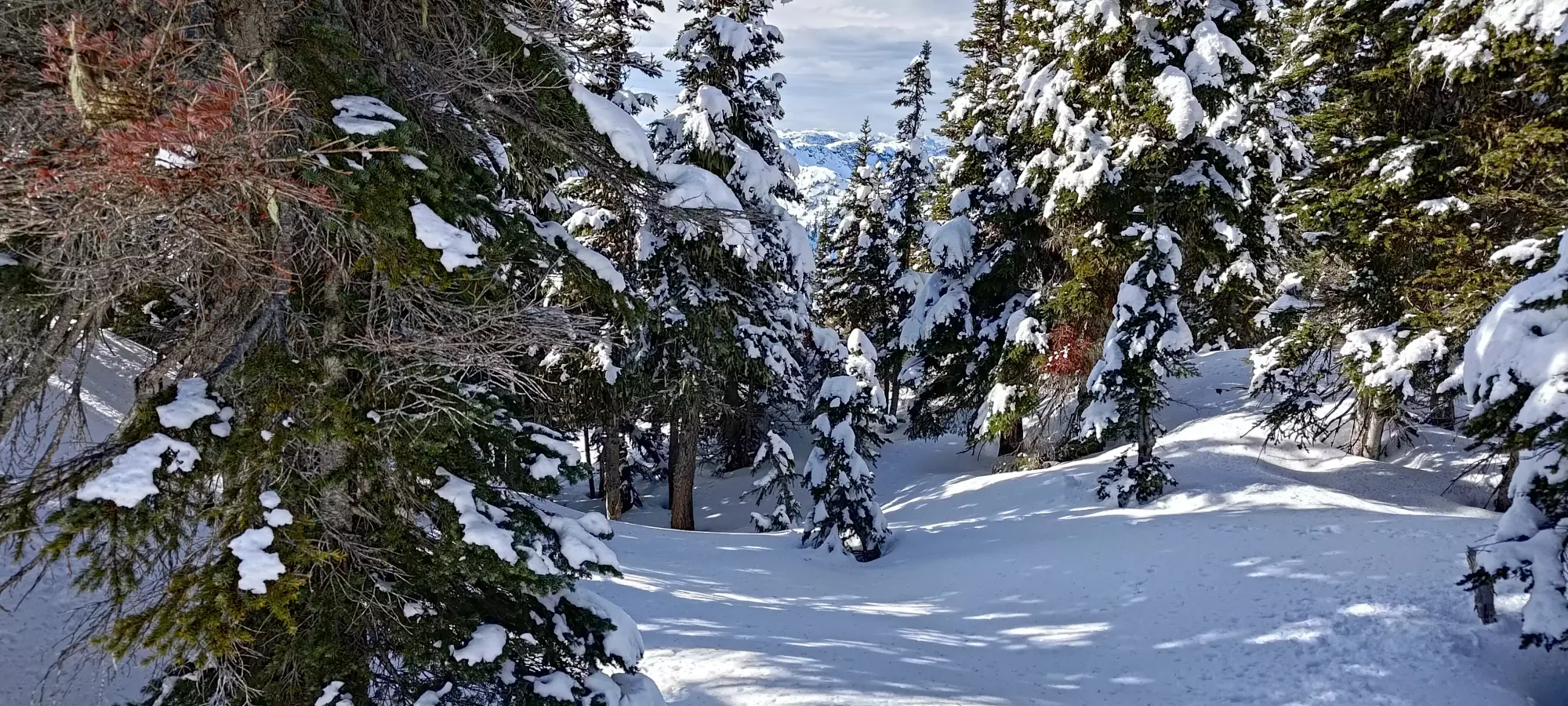
We did a couple laps with more great snow, until it was about 3:15 into the day, and Carter's (I think that was his name, I'm so bad with names) dog was ready to head back, so we packed it in. I could've stayed longer, as there was a lot of daylight left, but I had a long drive home, and was pretty tired sleep-wise, so I just took the win and called it while I was having fun. I skied a bit too far north on the ridge traverse to the forest following some fun-looking lines, but at worst only had to side-step up a couple dozen steps to get back on track. Once at the forest, it is advisable to stay on the skin track to avoid hitting roots in the thin snowpack. If the snowpack is deeper, though, you can have more fun and wander a bit without worry, the density isn't too great here.
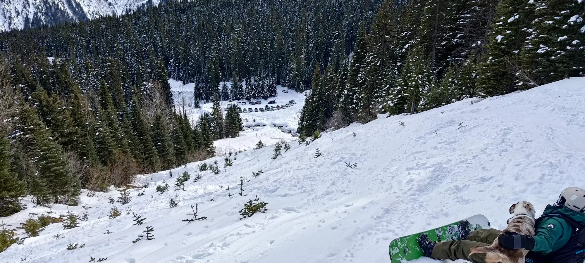
Once on the road, we largely stuck to the skied/walked out areas since the powder was pretty wet and heavy at the lower elevations. The road is so wide that the skiing is quite easy, and we got back from the summit in just about half an hour taking it easy and taking breaks for paw de-icing, headphone swapping, etc.
Once at the car, we hung out for a while, had some beers, and chatted with people in the parking lot before eventually calling it and heading out (with me giving some cold/unprepared hikers a ride down the road where their all-season-tire-equipped car had to stop). Overall, a short but fun day, and one I recommend for those starting to tour, who want to winter hike but don't have a ton of fitness, or if you're just looking for a chill day. Thanks to Carter for the company and the beer!
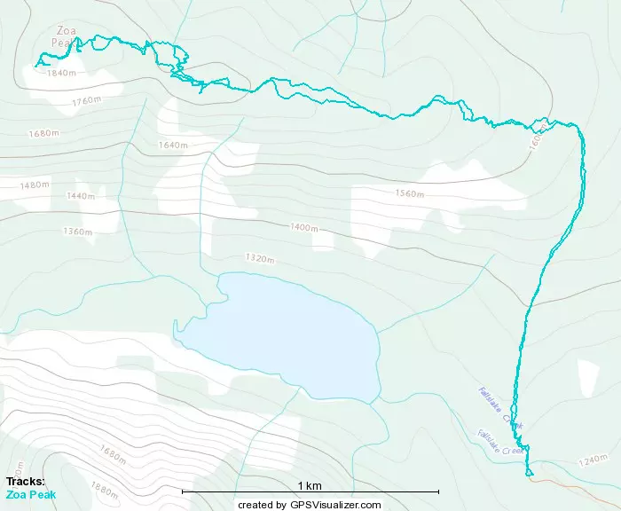
GPX Track + Map