Suicide Bluff - October 8 2023
Yet another minor bump in the Seymour area in North Vancouver

Fannin Range, North Vancouver, BC
1167m
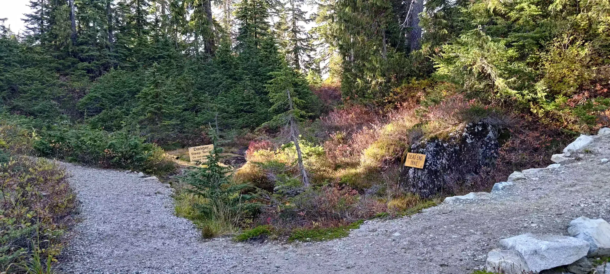
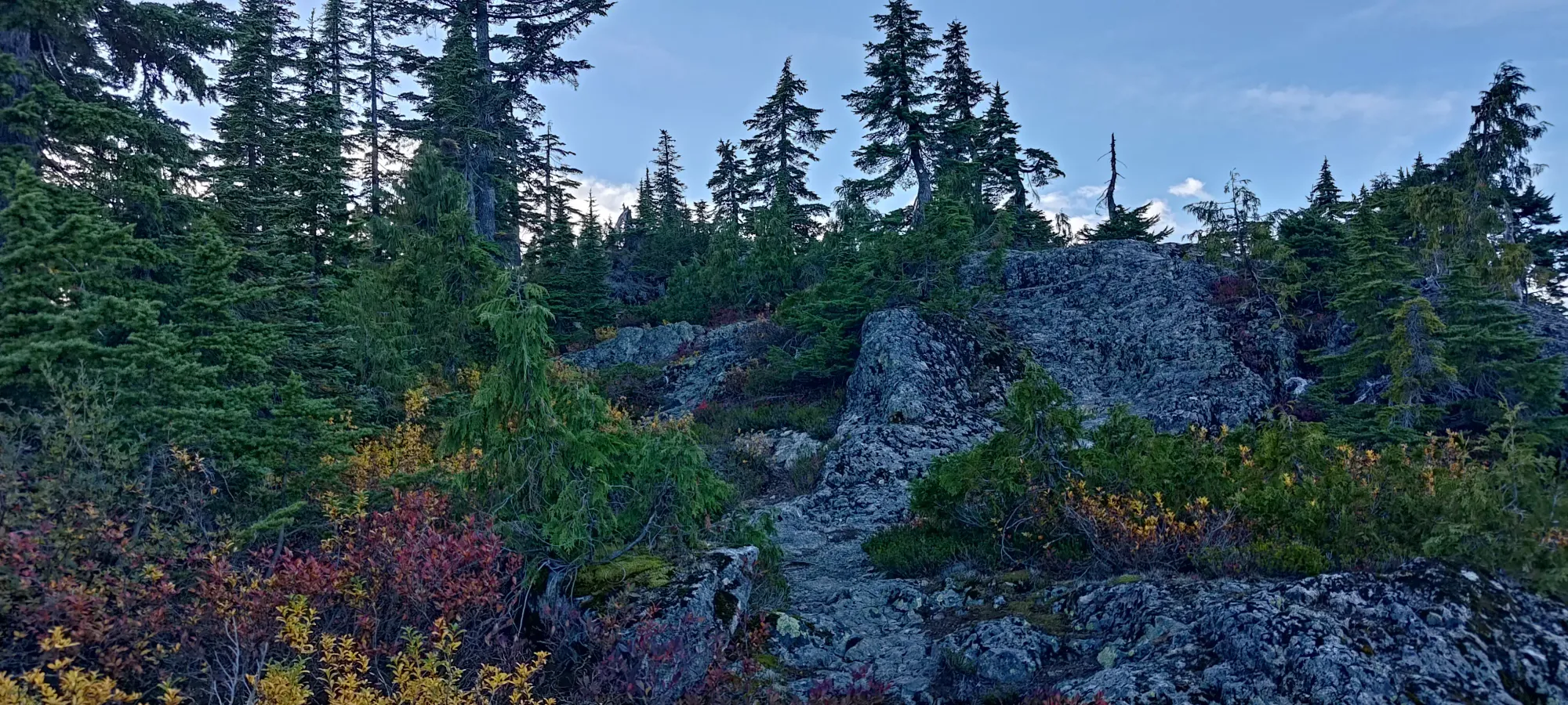
This TR picks up from that of De Pencier Bluff, on my little trashbagging adventure in the Seymour area. From the Mystery Peak area, I headed down a road that joined with the Mount Seymour trail, which I briefly ventured onto looking for the fork for the Suicide Bluff trail. That proved to be more challenging than I expected, as there were 4 different ways to go, with none of them denoted as the trail I was looking for. So, I resorted to the ol' faithful method of "just walk down each of them until you can see on your GPS if it's the right way". After a few minutes of looking dumb, I eventually found the right one (marked with a "Danger" sign indicating steep terrain), and started making my way along.
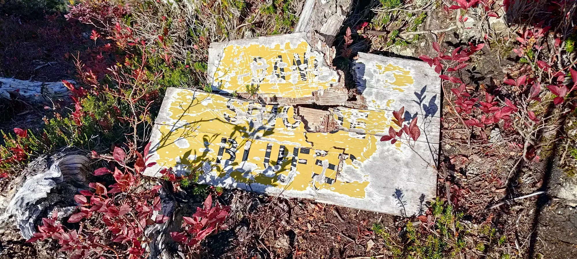
The trail was in pretty good shape, and it wasn't really very steep either to be honest, and I made my way to the false summit in about 15 minutes, with a short detour due to some misleading flagging tape and a random worn path to nowhere. I spent a few minutes up there just wandering around until I bothered reading the sign I saw on my way in, which sure enough was actually the way to go, and did say Suicide Bluff if you looked closely.

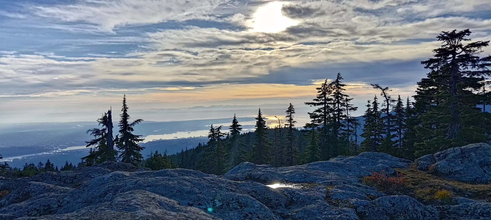
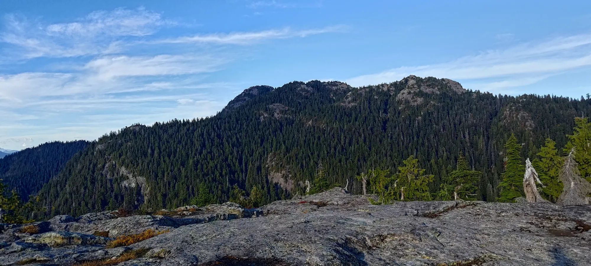
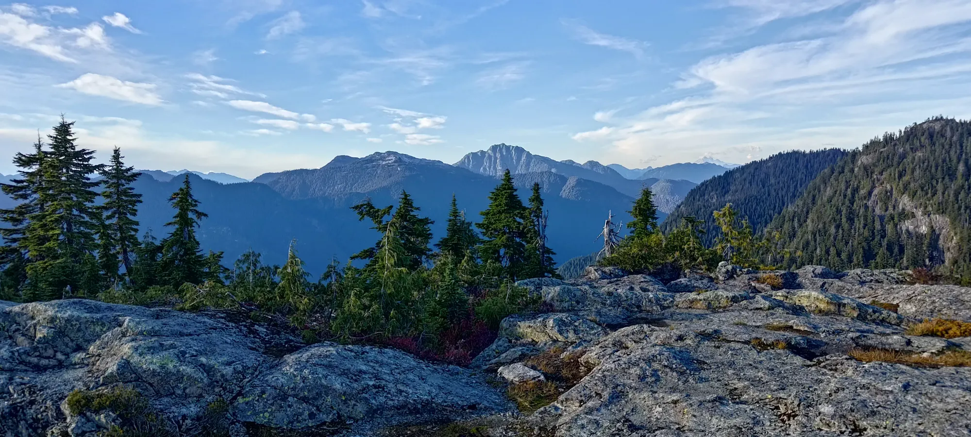
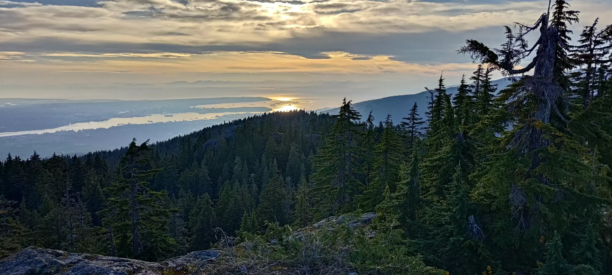
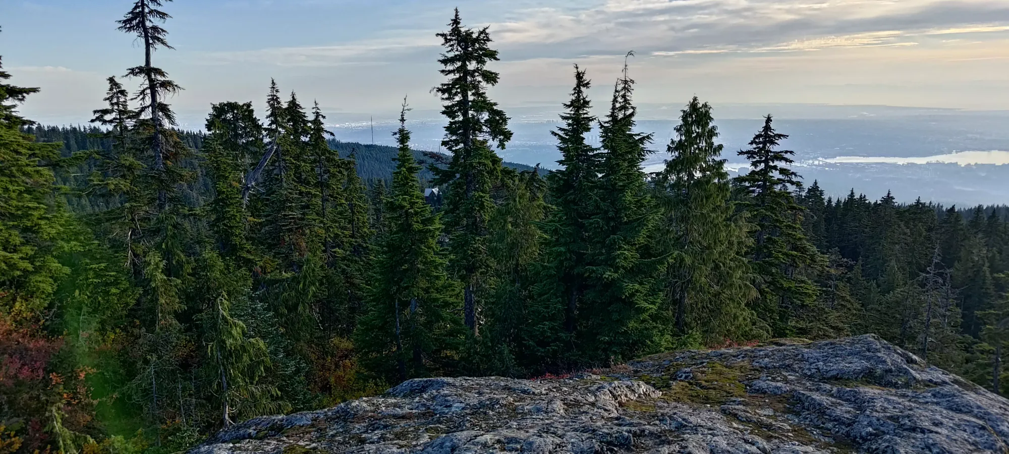
From there, it was a small descent, then a little more gain to get to the true summit, which took a little under 15 minutes once again. One can probably be faster here, but I was definitely starting to feel tired, and I had to eat my couple oranges I packed to keep energy levels up enough to keep moving at a somewhat reasonable pace. The views were nice, at least.

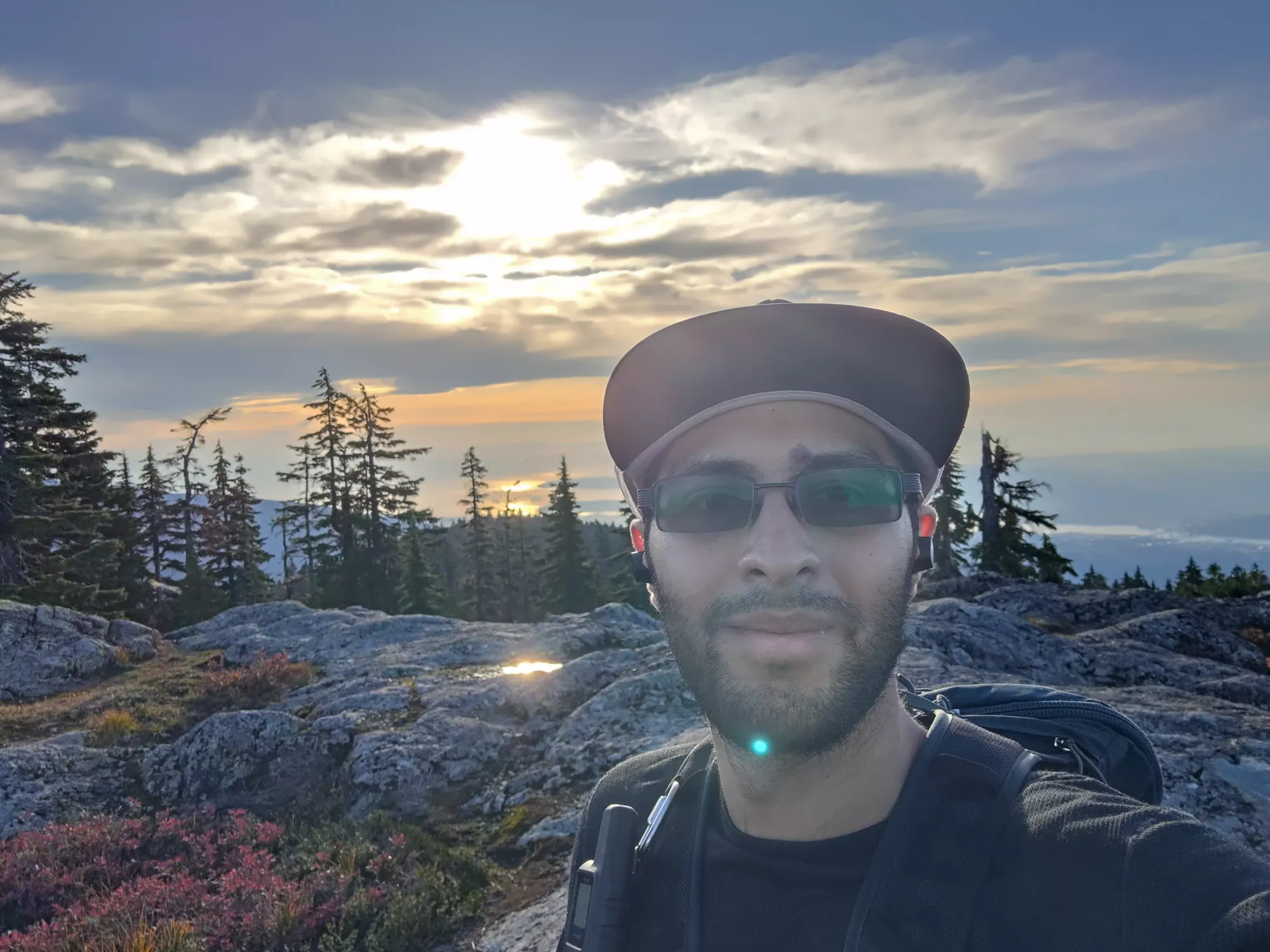
With this one out of the way, it was on to famous Dog Mountain, a peak most known for being the one people ask if they need spikes or snowshoes for on a daily basis in the "Hiking in British Columbia" Facebook group.
GPX Track + Map