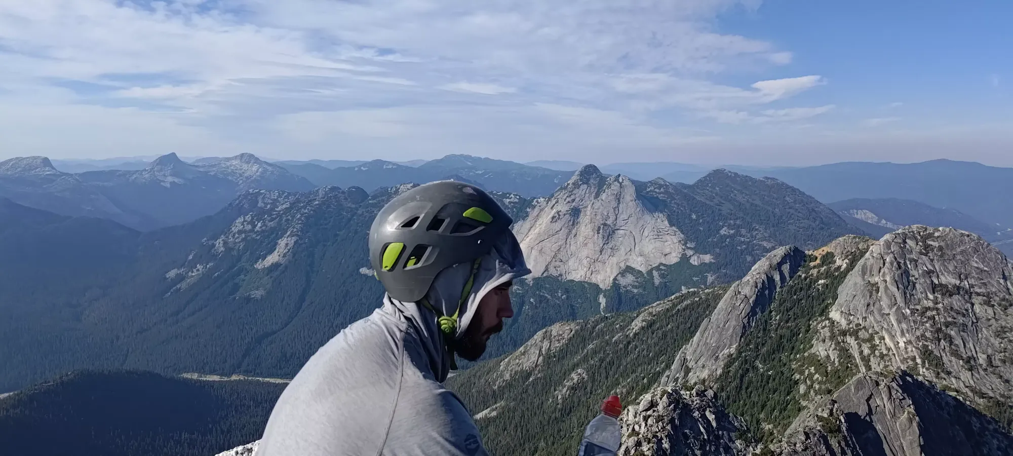
Needle Peak (Traverse from Markhor) - July 23 2023
A fun scramble traverse/loop and a p600m peak, what's not to love?

North Hope Mountains, Coquihalla, British Columbia
2090m
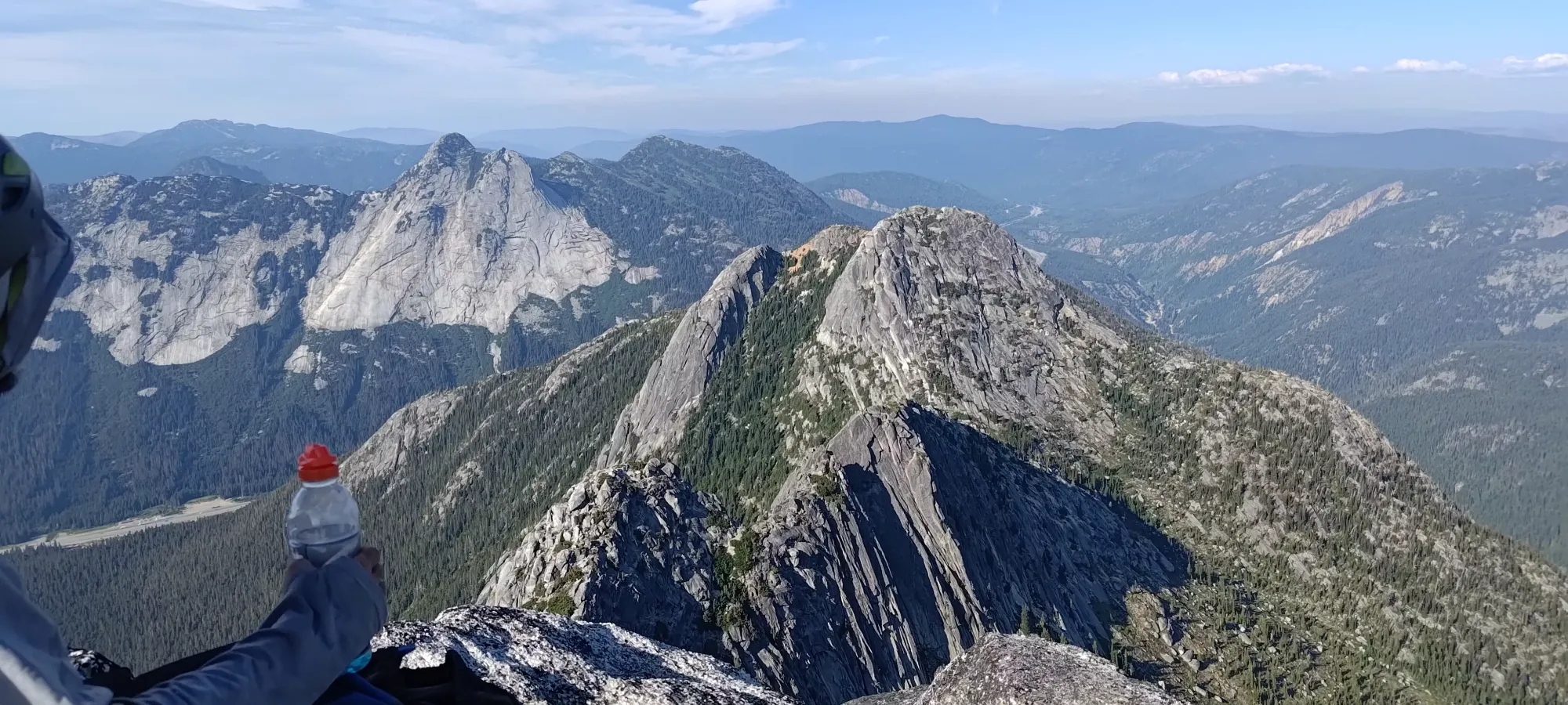
Despite me being a pretty hard-nosed "no-repeat-peaks!" kind of guy, Logan+Jass managed to convince me that the hiking route for Needle Peak is boring, and we should redo Markhor Peak for the sake of the scramble traverse from it to Needle instead. Despite a late night the day before, I agreed, and we decided to try and get Markhor, Needle, and Flatiron done as a traverse/loop (same parking area but different trails up/down). For once, I wasn't the only one who needed some extra time to go to the bathroom before we got started, so after I picked everyone up, we all got ourselves sorted, and we were on-trail, it was 12:11pm. A bit late, but for a <12km day, still "probably fine". If you want to get more information about the climb up to Markhor, check the linked TR above for it. It was basically the same as it was then, except this time I had 3 full meals the day prior, and instead of nearly 4 hours up, we made it up in a much more respectable two hours and fifteen minutes. Turns out eating properly helps, who'd have thought?!

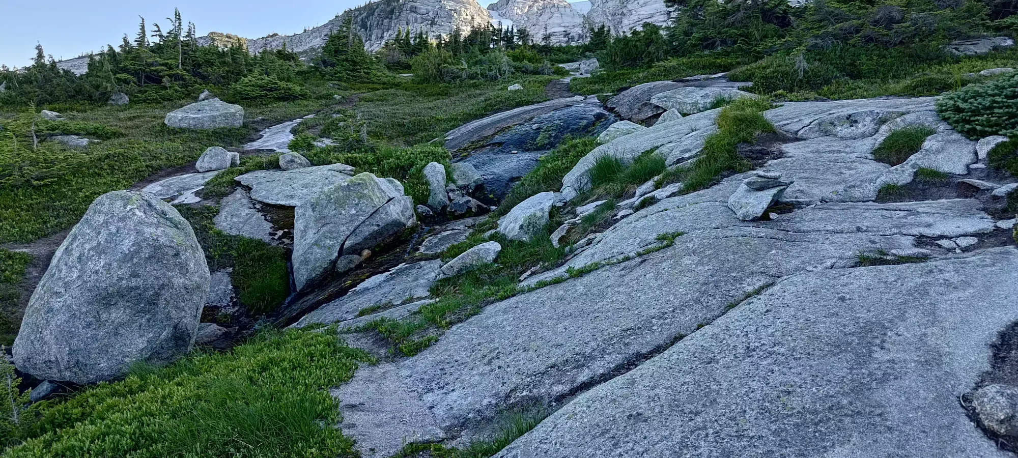
After topping out and having some lunch (FYI the snowpatch we used to refill water last time was totally gone, you won't get to refill until after you summit Needle), we started heading down. The trail seems well-beaten immediately off of the summit, though it quickly became less good for us. Logan was leading down, and I think his unhealthy obsession with steep slabs gave him some intrusive thoughts because we got a little far to skier's left of the trail and got to some spicy slab descents 😅

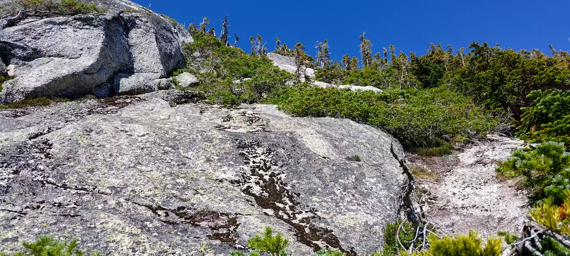
The "crux" of our descent was probably this large slab below, which was a bit steep and dirty at the top, so getting into the crack required some care. Once inside, Logan and Jass decided to downclimb "properly", whereas I did my trademark "never face-in downclimb" approach, and just stemmed with my hands out behind me in a crab-walk sort of style. It worked well enough, though.

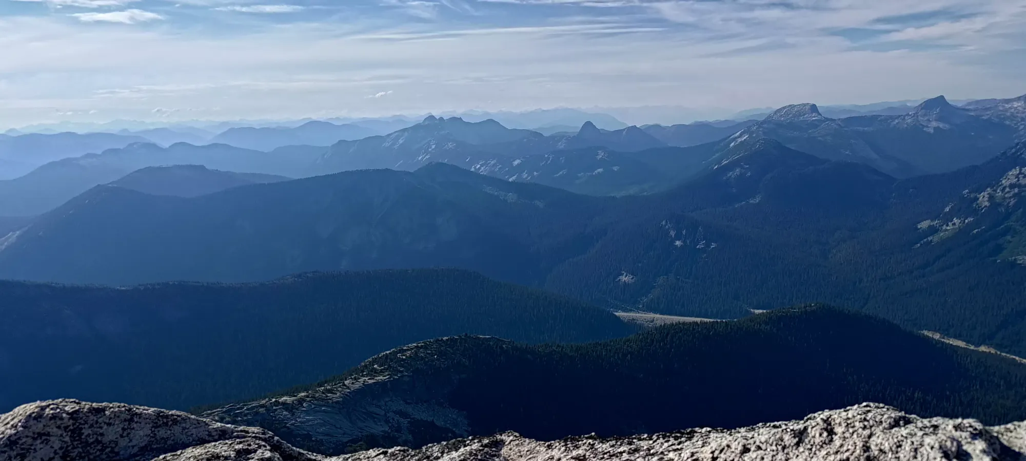
After this, we managed to get down I think one more slab where we saw some flagging tape far to skier's right at the edge of a spine on the ridge. There looked like a trail of sorts to the left, so we went that way, but in retrospect, that's where you're probably supposed to mount up and over that spine instead (straight ahead was dense bush). Once we got to a too-steep-looking slab to just walk down, I decided to check our position on the map and noticed we were a bit left of where others usually went. I suggested climbing over some bush to get onto the spine, which Jass did with great success, whereas Logan went across the top of the slab using some nice veggie-belays and down a good ramp that led to the bottom section which was less steep and more "choose your own adventure" terrain. I decided to follow Logan down since his way was confirmed to "go" once he got down past where we were unsure if it would cliff out or not, and we collected at the bottom of the col. The descent took us about 50 minutes, but some more choice routefinding could cut this down substantially, I bet.

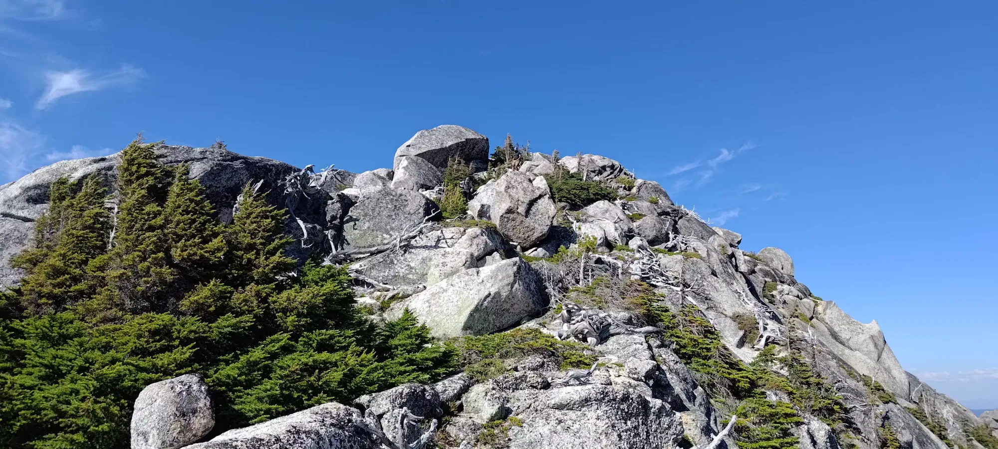
There's about 100m (just over) gain to the next bump on the ridge, mostly just steep walking, with occasional unexposed moves to get to the top. Here, we encountered a group of 3 who came up behind us packing light (and probably taking the easier way down Markhor 😀), and let them pass. The terrain here was much easier, and we burned through in about 15 minutes.


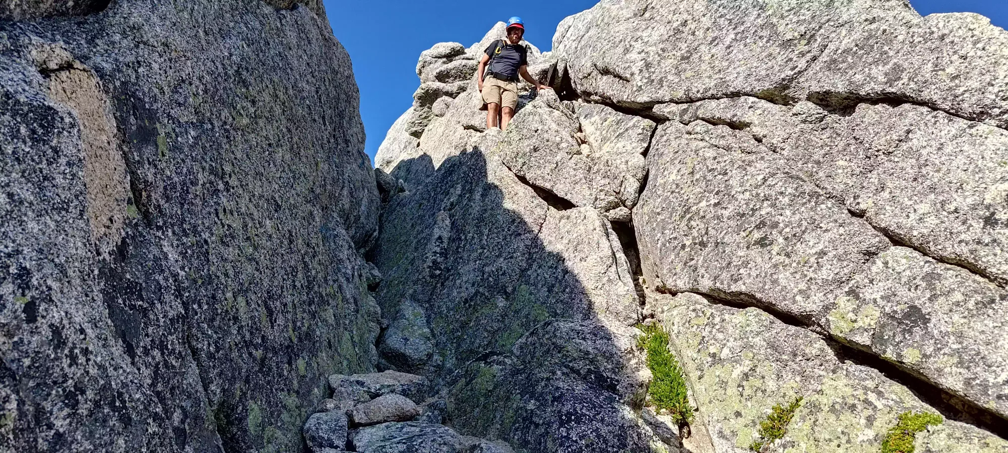
After this bump comes the au-cheval section, which is a short descent into a notch, followed by a class 3-4 move to get across, then some more moderate scrambling to get to the top of the next bump. The party ahead of us seemed to be definitely "1 leading, 2 following", with the leader giving the other 2 quite a bit of direction, but they all handled it well. They seemed a bit concerned about my face-forward enthusiasm, but it's legitimately what I prefer in almost all circumstances, and I had no trouble getting down and through.

Logan followed, but seemed to dislike the section where you get off the spine and go skier's right to some ledges in order to get down and across the notch, taking about 3.5 minutes vs Jass' very confident 1 minutes follow-up. I blame face-in downclimbing, clearly the inferior methodology 😀.
After the notch, there's a small ledge down another couple feet where I decided I shouldn't take the boring way down of just "walk down the slab and around the gap", and wasted a few minutes convincing myself I could make the small jump instead, but I think it was worth the mental victory 😀. The point of this route was fun scrambling after all, not expedient summiting.

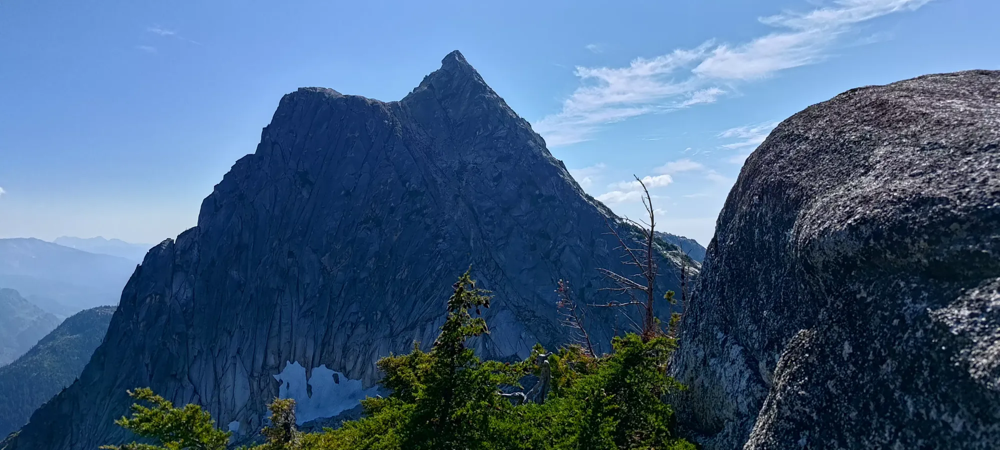
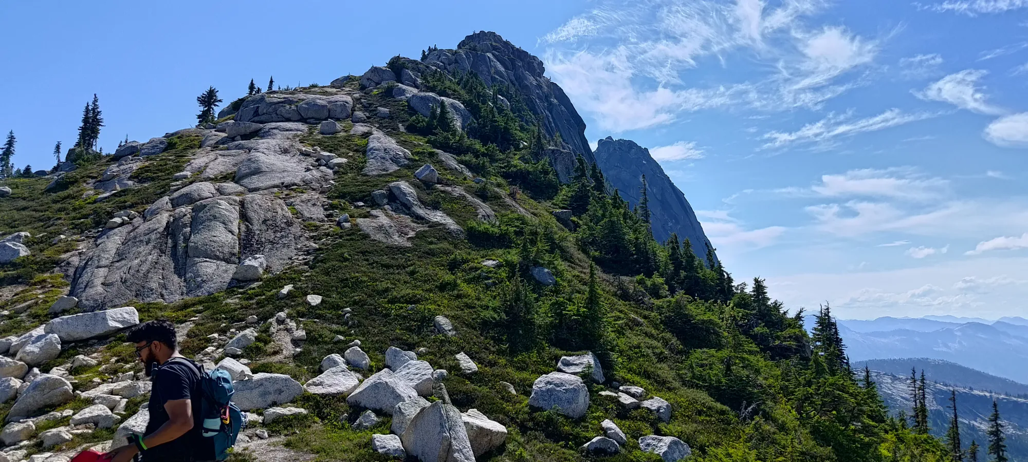
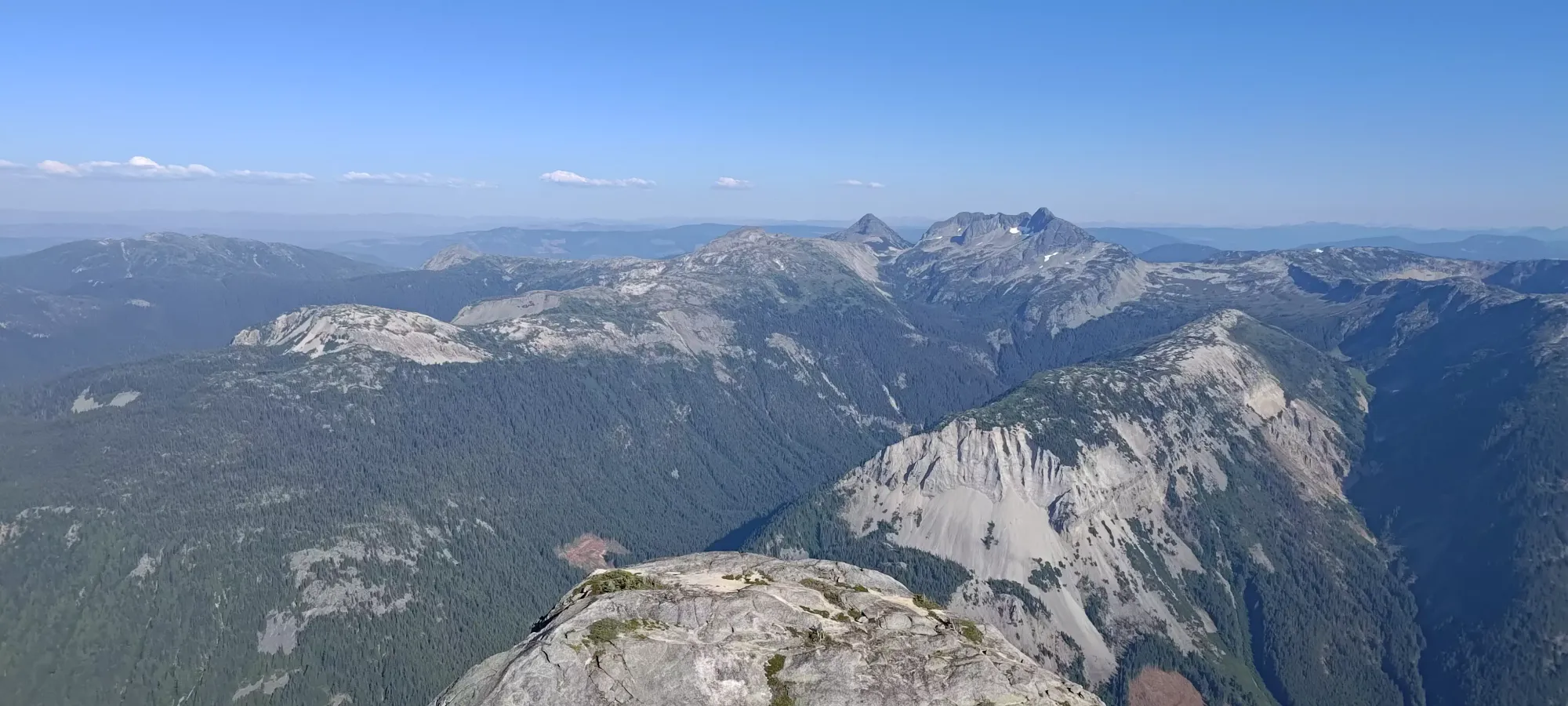
To the top of the last bump there was some more class 2 with harder moves (though not really exposed) to get to there. Not sure who took the right route, Logan went all the way on top, I was in the middle, and Jass took the lowest route to skier's left, but we all did just fine. Once we got over and down into the final low point before Needle's summit, we realised that the steep ridge we were concerned about all day was actually very easy and mostly not even scrambling.


The first 2/3-3/4 of the final summit push are basically just steep walking/stepping up ledges, we didn't even use hands for quite a lot of it. The latter part, though, started to get scrambly again. There were 2 sections of note, one thin (one shoe wide facing forward) ledge to traverse over the face, but with good crimps to the right to hold you on the mountain. After that was a wide crack leading up to the summit, which required some friction holds to get up, but the rock here is excellently grippy, so that wasn't really too challenging.


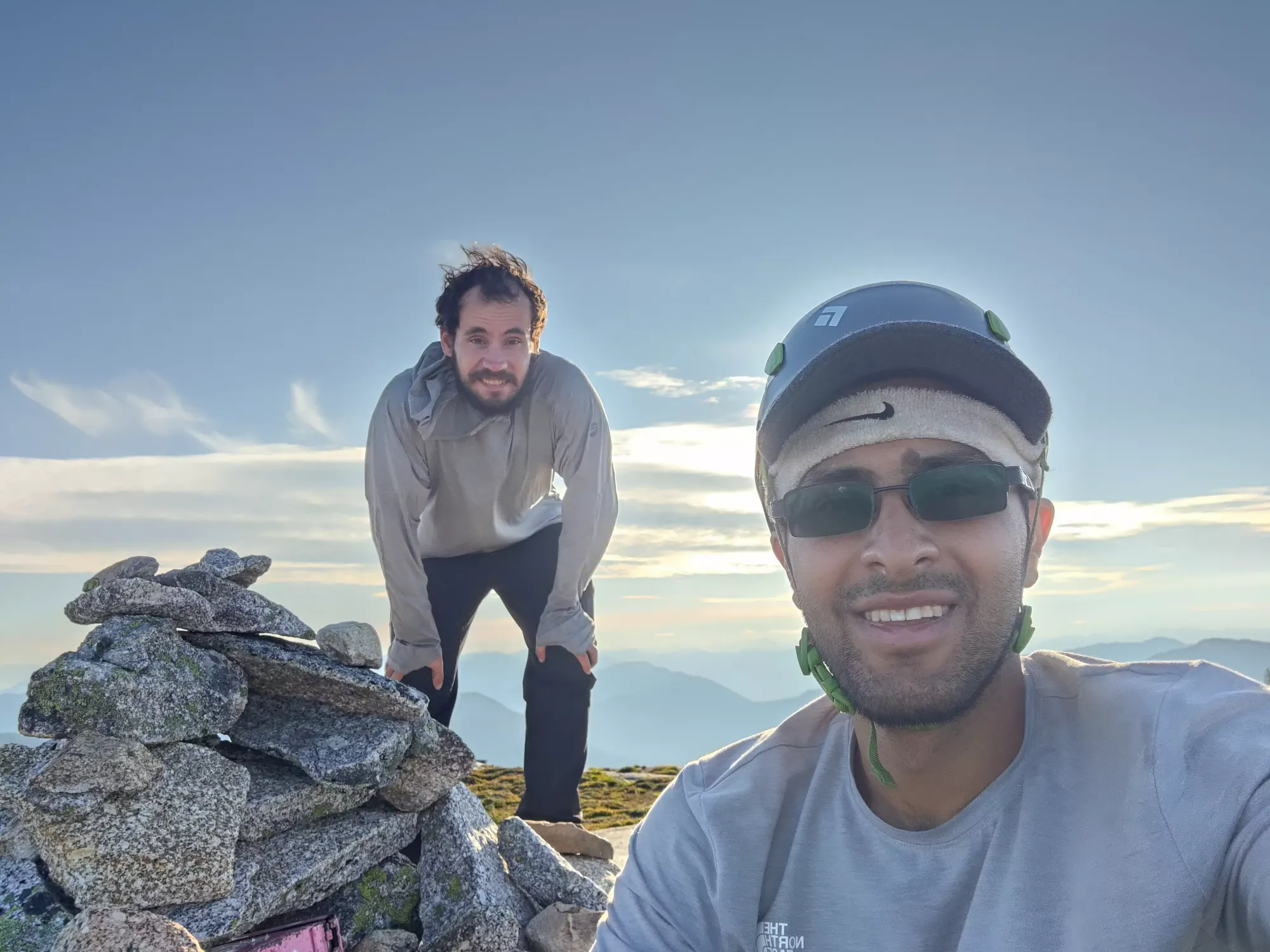
Me and Logan summited in about 5 and a half hours, and Jass took his time up the final crack, and joined once we were done our final snacking of the day. Jass recommended getting some brownies as calorie-dense, but still moist food, and I have to say, it was a good plan, they worked well. Though the fresh blackberries I bought back home were the best part of the day's eating.


After everyone had their rest and refuel, we talked it over and figured we should have time to tag Flatiron, so we set out just before 6pm from the summit to tag Flatiron and get down before sundown, as Jass had work to get to for a night shift.
The Flatiron
North Hope Mountains, Coquihalla, British Columbia
1898m
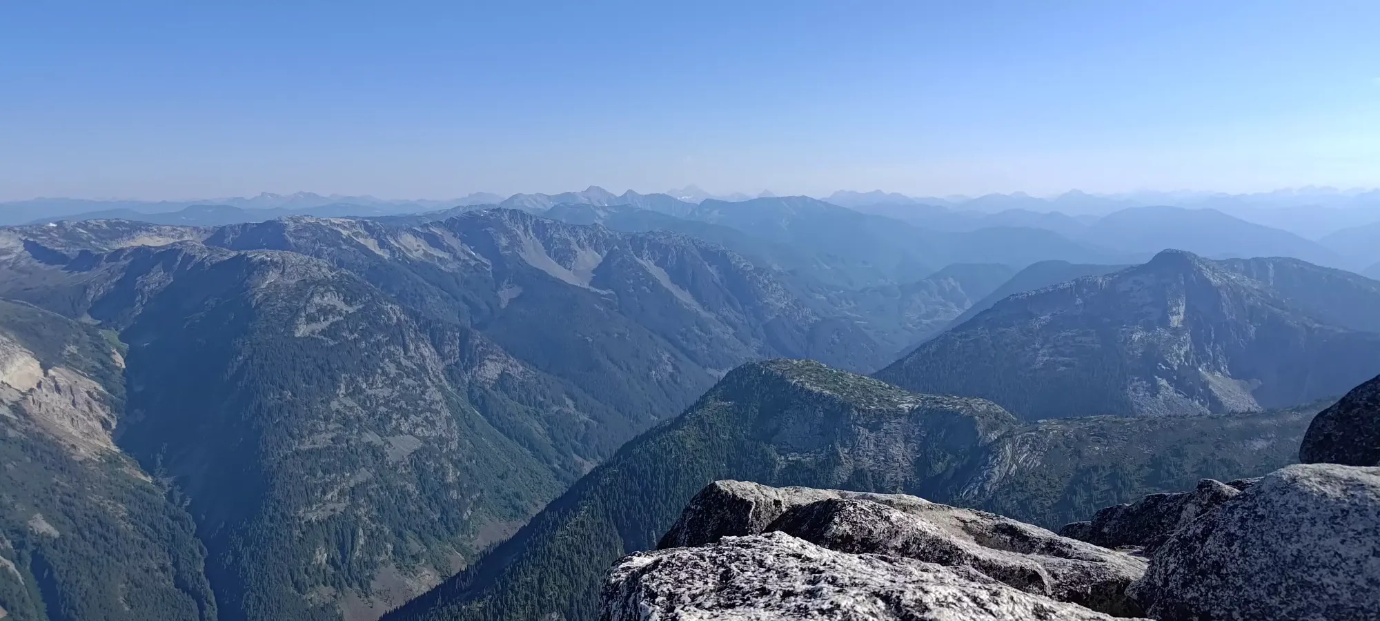
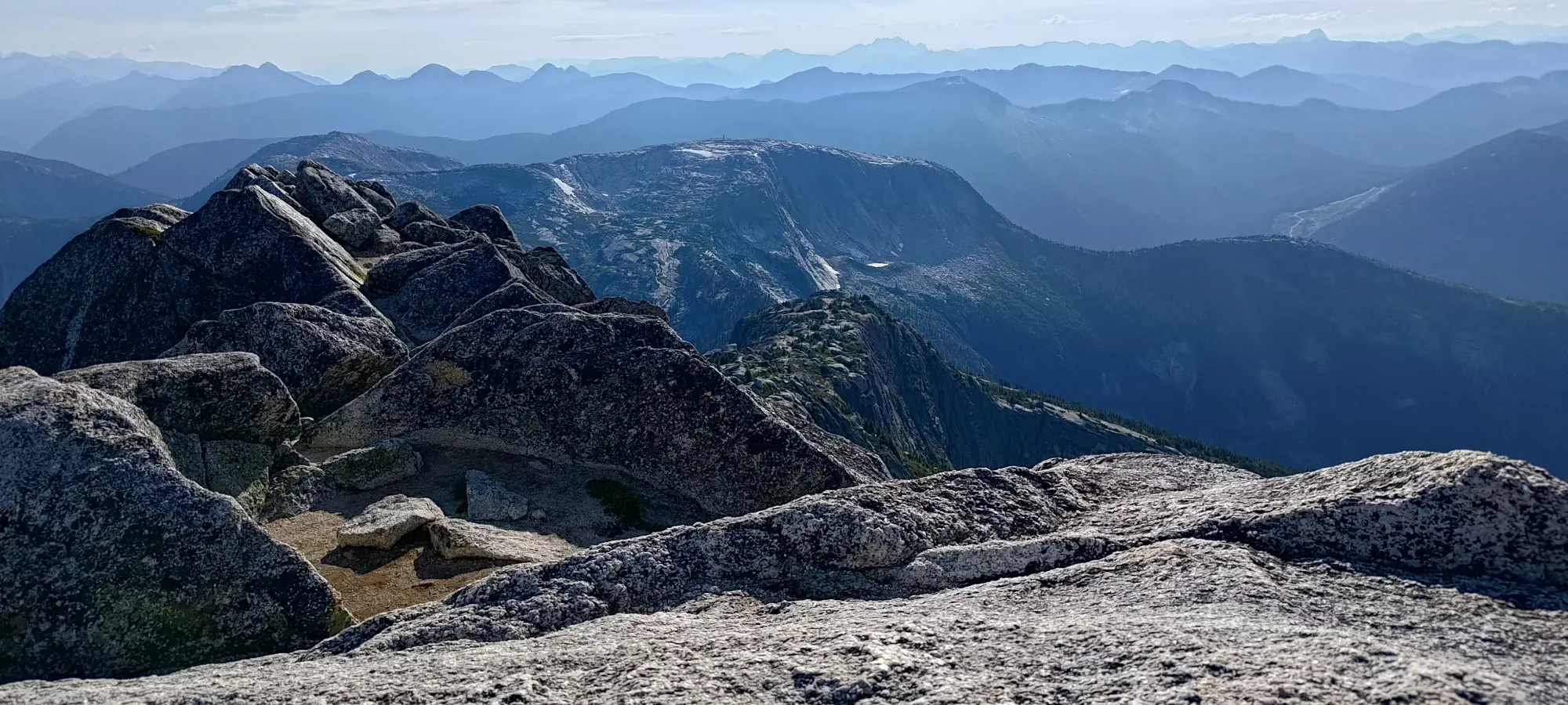
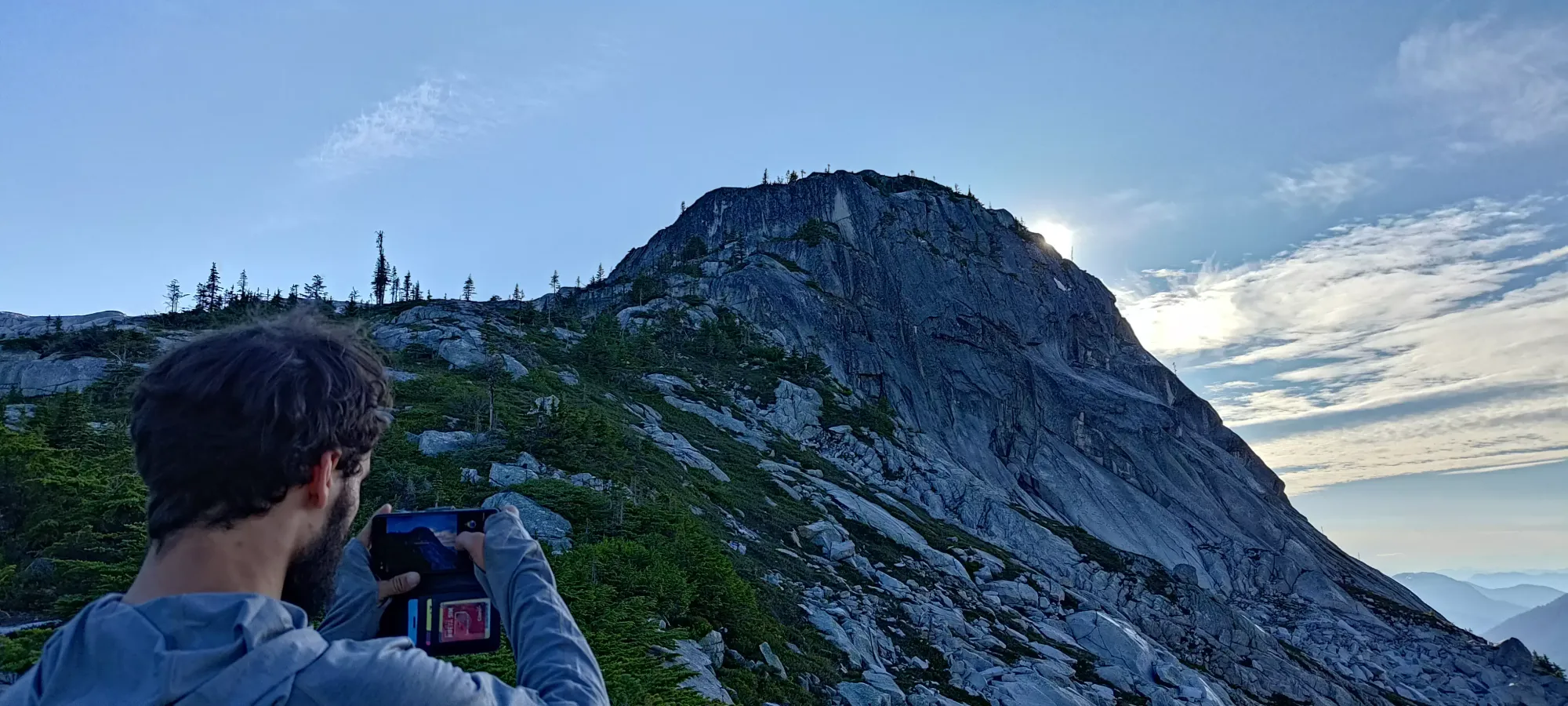
The descent from Needle to the Flatiron col is something people in the hiking community often "hype up" as a difficult scramble, many stating their unwillingness to participate unless there is a fixed rope available. In the peakbagging community, which is typically a bit more technically-inclined, this is seen as a bit overstated, and some go as far as to deride the placement of this gear, and perhaps more so the painted blue arrows denoting the route up. I was surprised to see the sheer volume of and location choices for those arrows, though. Some of them are as little as a metre away from the last, and denote important choices like "don't yeet into this large hole on the side of the mountain, maybe consider going up instead". Though, while I criticise this, perhaps if someone painted a giant blue arrow on Wedge I'd not be as injured as I am today 🙃.
Once we got down to the fork where one can descend the mountain or head towards Flatiron, we decided to ditch our packs and go up light, since Flatiron is not a technical hike, and it was only ~200-250m of elevation gain to get there and back. This was pretty great, especially for Logan who had the glorious duty of hauling the one-again-useless rope we brought as insurance (mostly for me, though I'm getting more confident given my last few trips, might start being more judicious with rope for scrambles going forward once again). We quickly got down to the bottom of the col at about 7:00, then started our ascent to Flatiron.
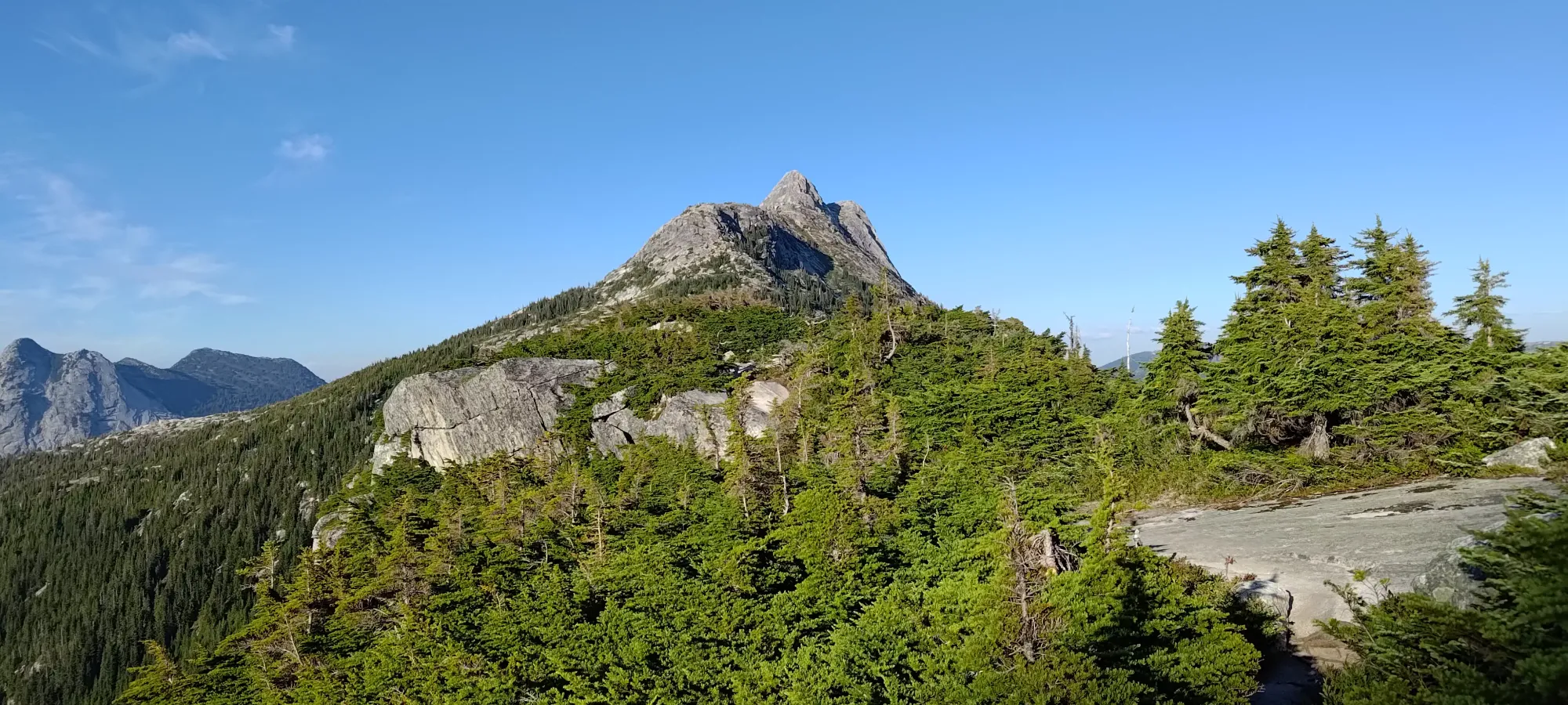
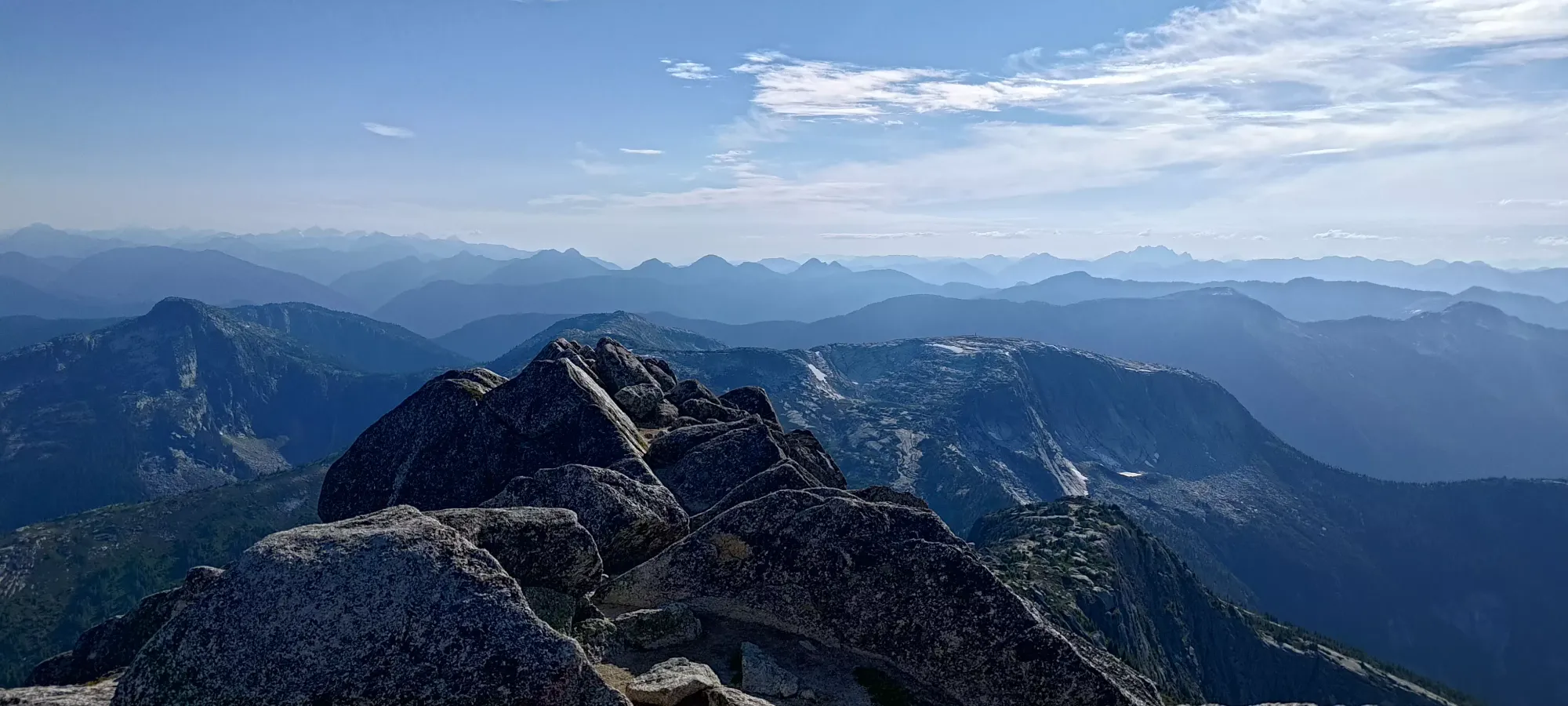
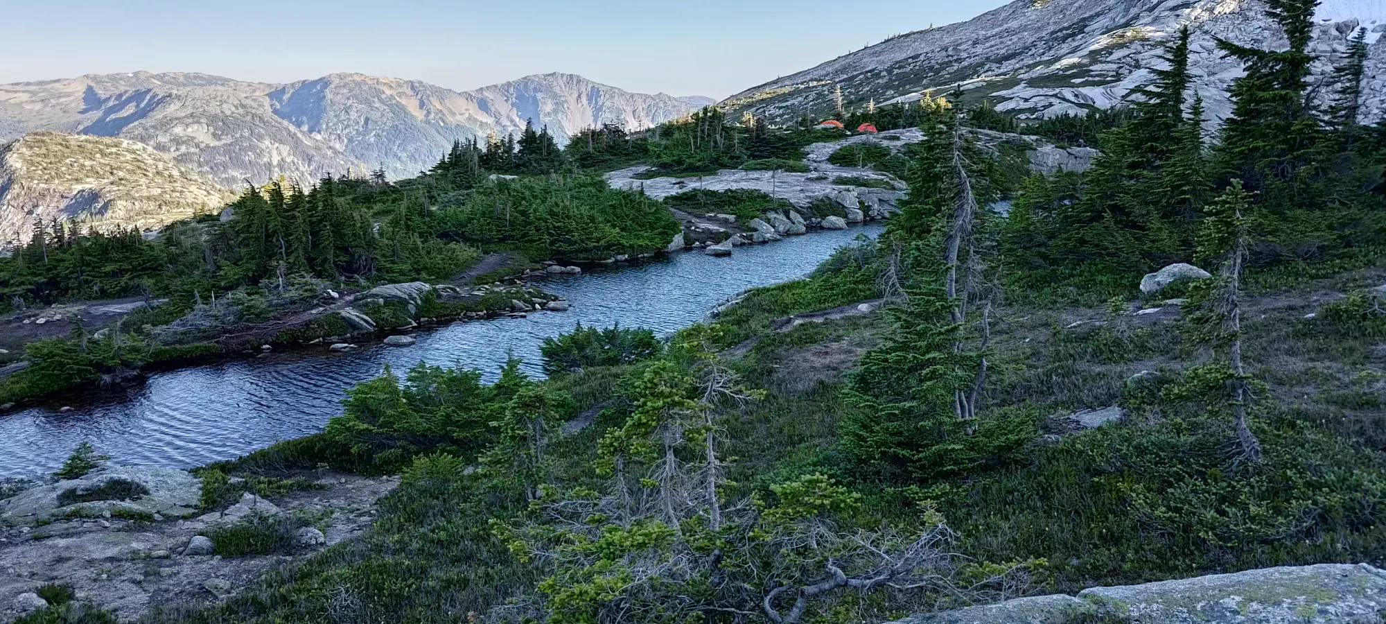
The trail up Flatiron is, well, not really one trail. There's a million diversions and forks, though they all seem to roughly head up in the same direction, so just pick whatever looks like the nicest trail for you. This is a super popular area, though, so if you are struggling to find a nice, easy walking trail, you're missing something. It took us about 25 minutes of walking to get up. There were a few ledges on at least some of the routes, but no real hands-on moves required, and even some of the harder steps we took were avoidable on another one of the forks. Of note was the actual flowing water at "Small Lake" (as one of my maps calls it). This looks like an awesome campsite, with lots of flat terrain, great views, and slowly moving water that'd be nice for swimming, keeping some bugs away vs still water, and drinking, even more so at the outflow. There were a couple tents there when we arrived.
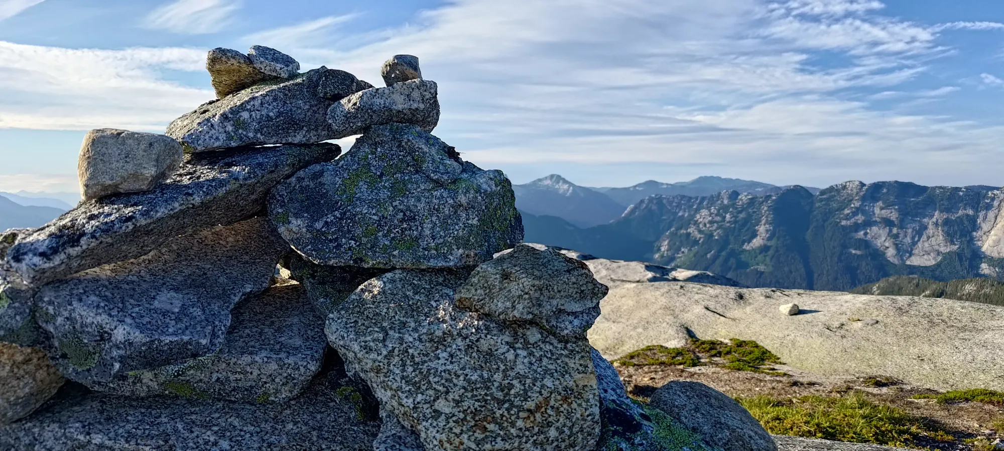
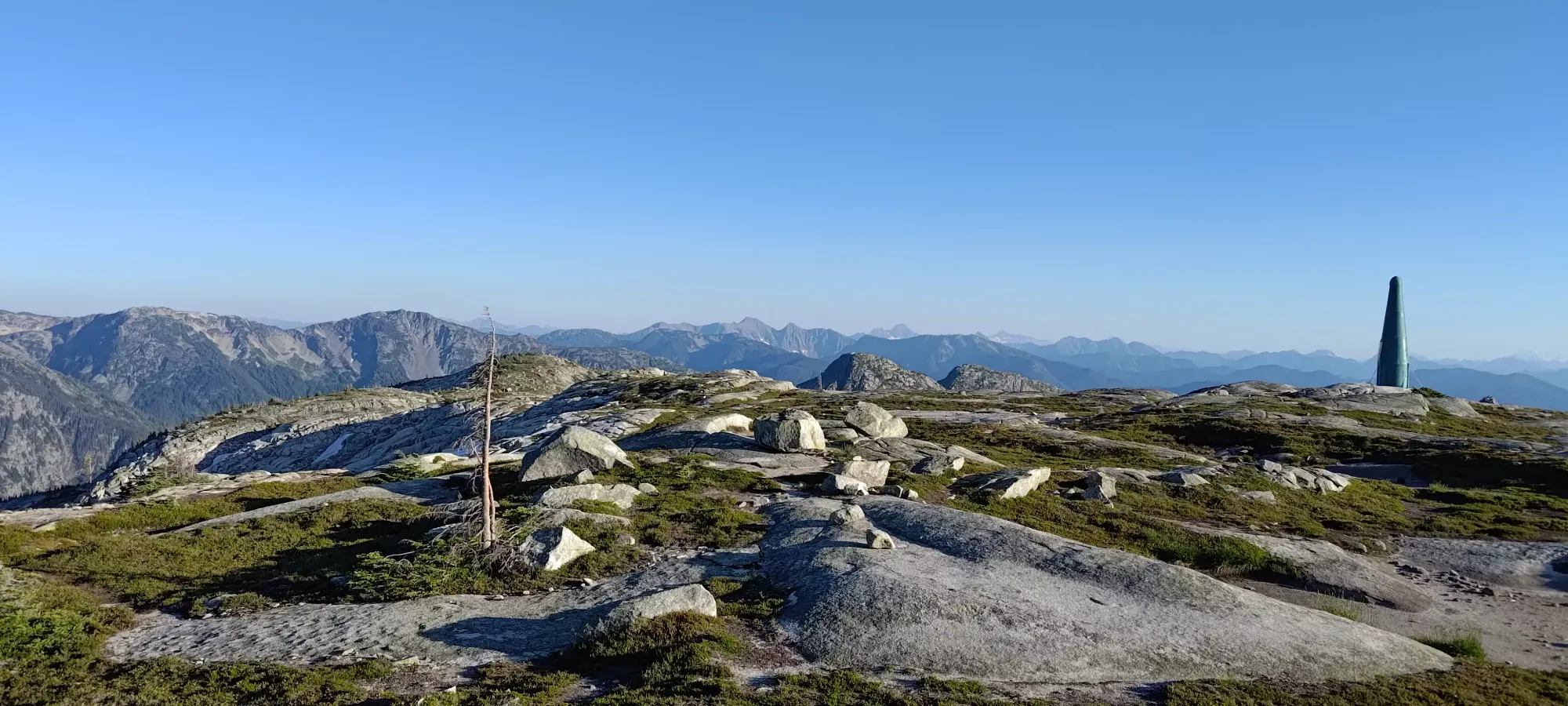
At the top, we amusingly found a cairn with a register buried in it. We decided it'd be a disservice to the more "real" peaks of Markhor and Needle to glorify it by adding our names, since those ones didn't have a register. There's also a radio dildo just beyond the summit, which many find unsightly (hence the nickname), but while I don't think it specifically provides cell service, it does provide helpful stuff (and we did conveniently have cell service all day). We only took a short break at the top since we did want to get out before dark.


We took just under half an hour to get back to our backpacks at the fork for the downhill trail. The gain getting back up from the bottom of the col was a little more tiring than we remembered from the descent, but after a few minutes of rest and some water, we were all ready to get out, and we started descending at 8:00.

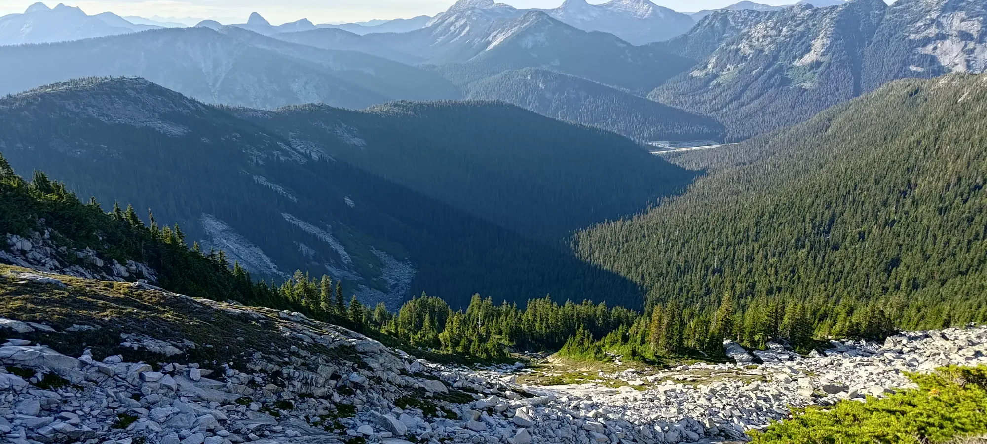
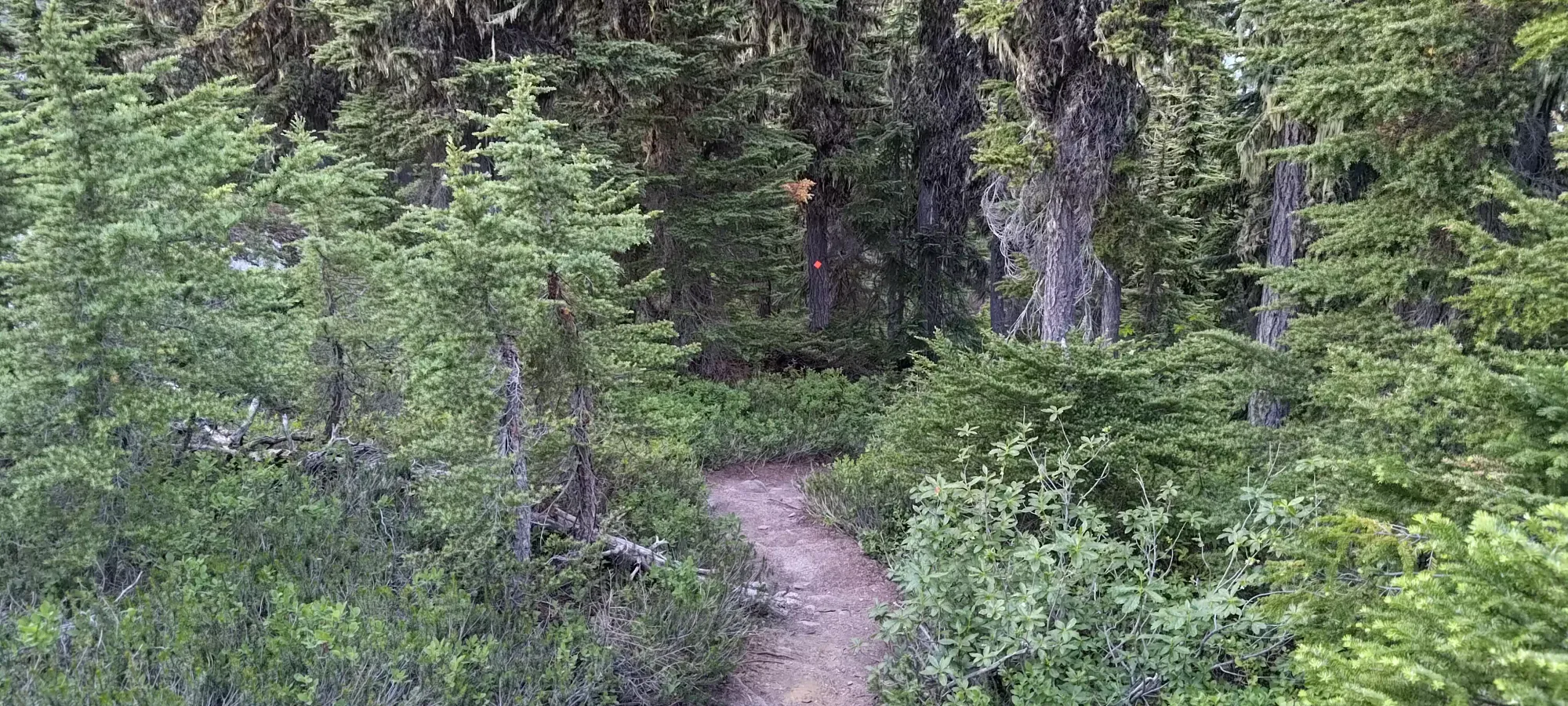
The descent was interestingly basically just on a ridge for most of the way down, which is unusual. That did allow for nicer views and more light than most descents, but came at the price of a longer, flatter trail than we might've preferred (though on the way up this is probably nice). I took one photo as I thought we were getting into the forest, but was definitely jebaited, and that section didn't last long. It wasn't sustained forest until probably ~300m of elevation from the road, possibly less. The descent took us about 1:10 to the car. The construction area was active, but the workers were very nice about it, having a fenced off trail from the trailhead to the parking area, yielding to us on the bridge, and generally just being great folks. Much better than, say, when we almost got barreled into by a logging truck screaming down a flat road (no excuse about being unable to brake) back in Ontario in Algonquin Park in university. That is still in my top 3 list of "almost died" moments.
Once we got to the car, as we were getting ourselves packed up, we were hit with some very rough news. Throughout the day, we'd been checking Facebook for updates as a friend of ours, Nikita was late for a meetup after heading out solo to Canadian Border Peak. We'd actually considered pivoting plans to help look, but decided not to when SAR announced they were present at 3:30am on Sunday and heading up a party. After concerning amounts of silence all day, right as we were coming off of the high of completing a great traverse, we got the unfortunate news that she had passed away. That soured the mood pretty quickly; she was someone we'd all climbed with before, on Robie Reid and the Armchair Traverse. The drive home was less celebratory and more sombre than usual, and we all had a drink in her honour at dinner before heading home. RIP Nikita, it was fun climbing with you, and your achievements were awesome to watch and take part in, you'll be missed across SWBC.
Aside from that news, it was a pretty great day. The traverse wasn't as hard as we had heard it might be, or thought it was looking at the final climb up to Needle from afar, but it was still really fun, and a scramble with a relatively short approach, as SWBC goes. I'd definitely recommend doing Needle this way, after all it was enough to motivate me to repeat Markhor, a rare occurrence indeed.
GPX Track + Map
