Mount Woodside - December 30 2023
A trashy bushwhack which is 95% driving on a fairly easy forest road. Best combined with Mount Agassiz for some better value for your day, and a visit to Ramp Rock for a cool car shot

Lillooet Range, Kent, BC
946m
After hiking up to Mount McRae earlier in the day, we wanted to get some extra value for our dollar (somewhat literally, with the amount of gasoline used for this outing), so we decided to go up to Mount Woodside before heading home, since it is 95% driving, and just a short bushwhack for the true summit. The access is quite easy, even Google Maps gets it right, so just use that to navigate to the top of the road. The road is in decent shape, and can be done with most any vehicle. The top kilometre or two are a bit rougher, and while not narrow enough to pinstripe, there's no room for 2-way traffic, and the road has a couple rocks that might benefit from at least medium clearance. No serious obstacles like water bars or washouts, though.
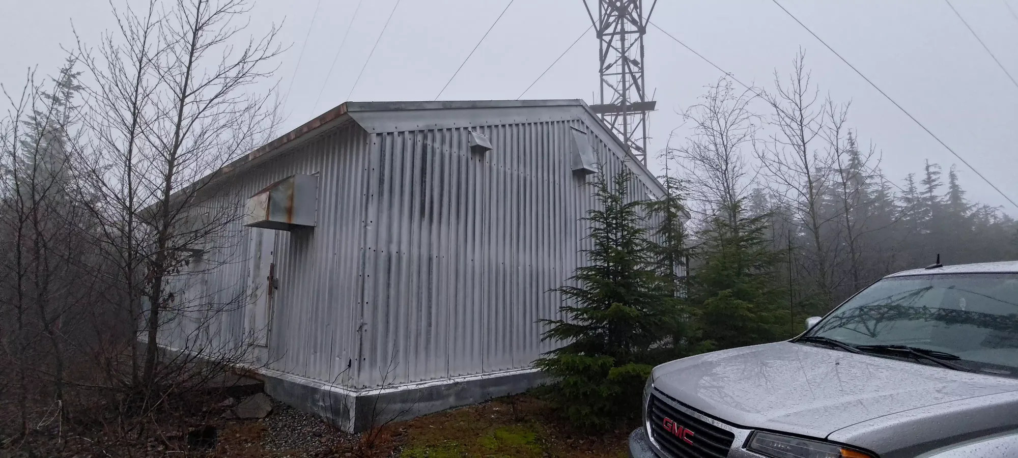
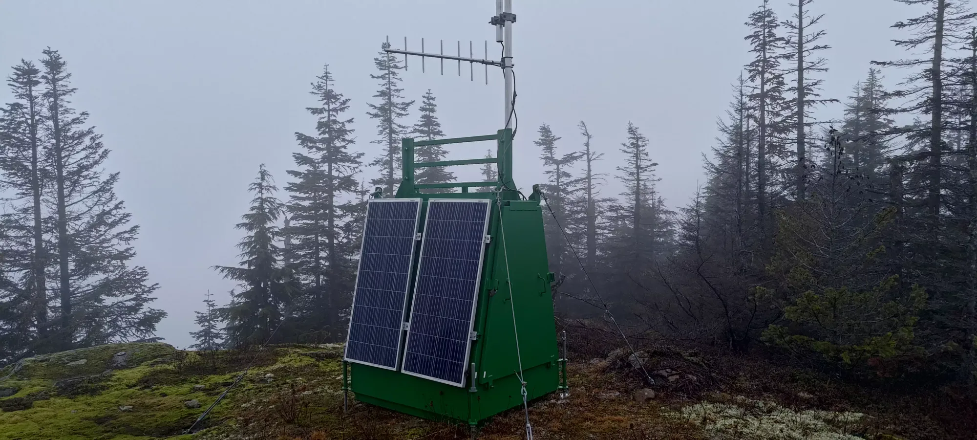
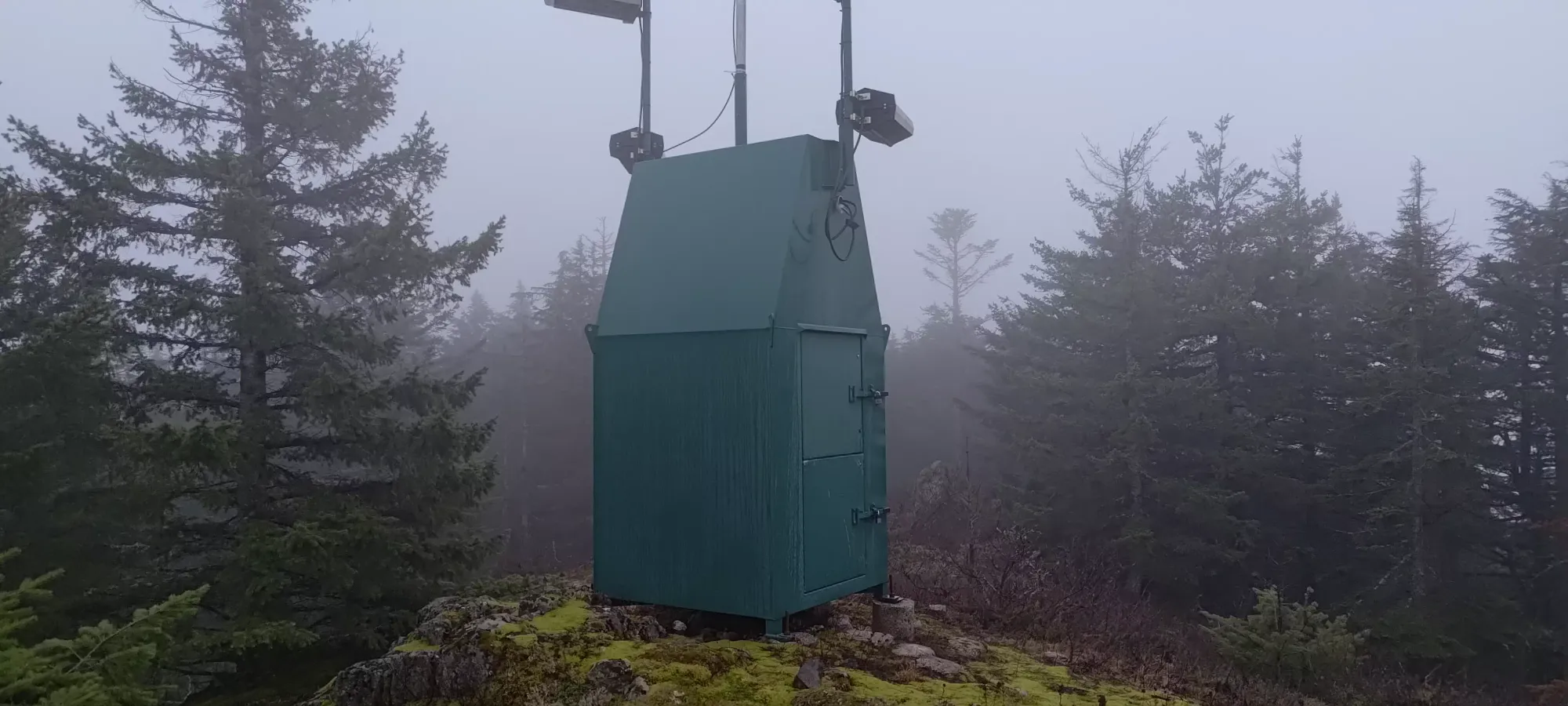
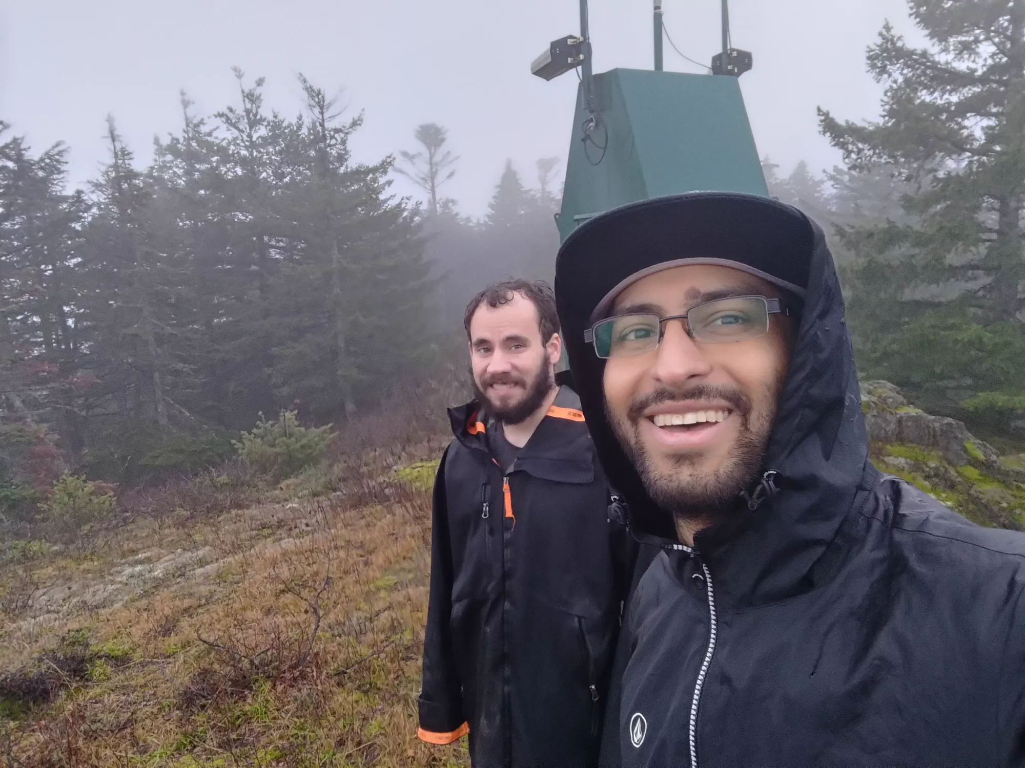
After we parked the car at the top of the road, we wandered around in a big circle trying to find the high point, but ended up just walking around the building like a bunch of idiots 🤣. After checking peakbagger and pulling up a GPX from someone else, we realised we had to backtrack slightly to where the road turned back down the mountain, and forked off from there along a slightly-beaten path. That path didn't last too long, but got us going in the right direction, at least. Once we got into the forest again, it was a short descent down to 915m, then back uphill to the summit (we think, there's some amount of debate online). The summit area had a little bit of a trail getting beaten into the dirt from fellow peakbaggers, along with a couple small huts with antennae on top. We just took a couple pics and headed out, as there were no views, and our gear was already pretty wet from McRae. We followed a different route back which also worked fine, and just like that, another peak was bagged in a pretty relaxed 20 minutes (descending the steep dirt in my driving loafers was not the most efficient choice).
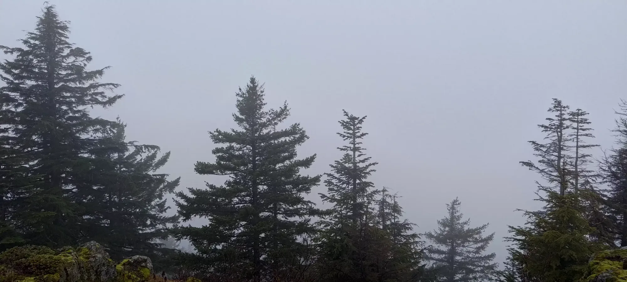
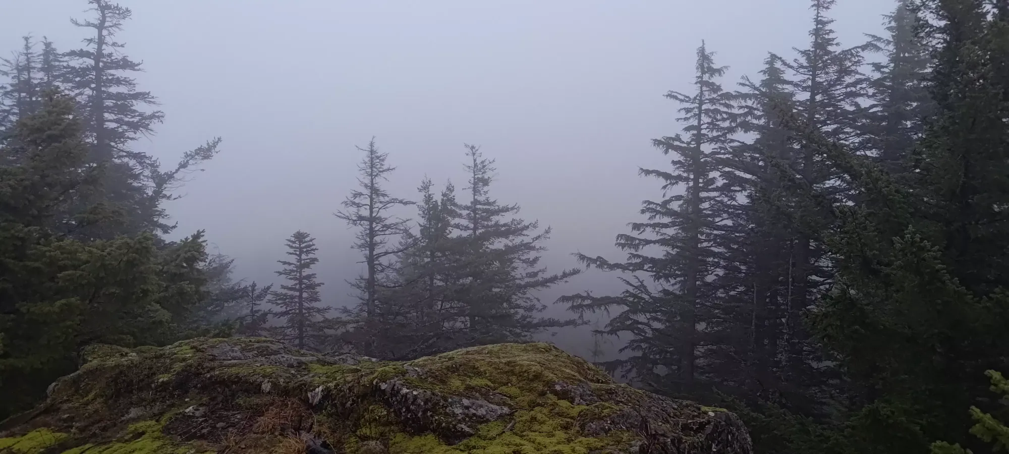
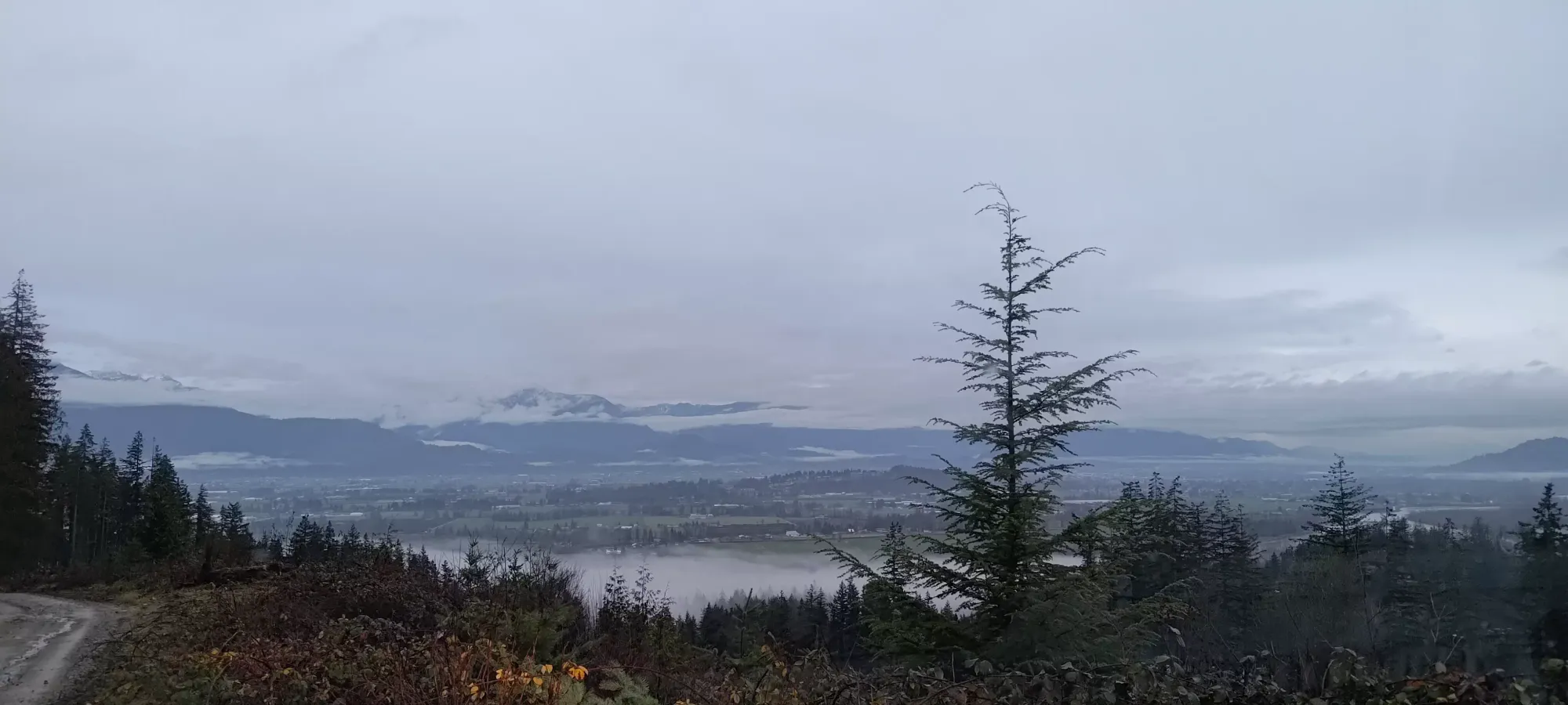
Summit "views"
With that out of the way, we finally headed back home, with Logan ever-so-close to 50 peaks for the year, and me happy to have a small buffer built up for my 100 peak goal, in case any of the crappier summits I bagged in my early recovery days are ever "cleaned up" from the database 😃.
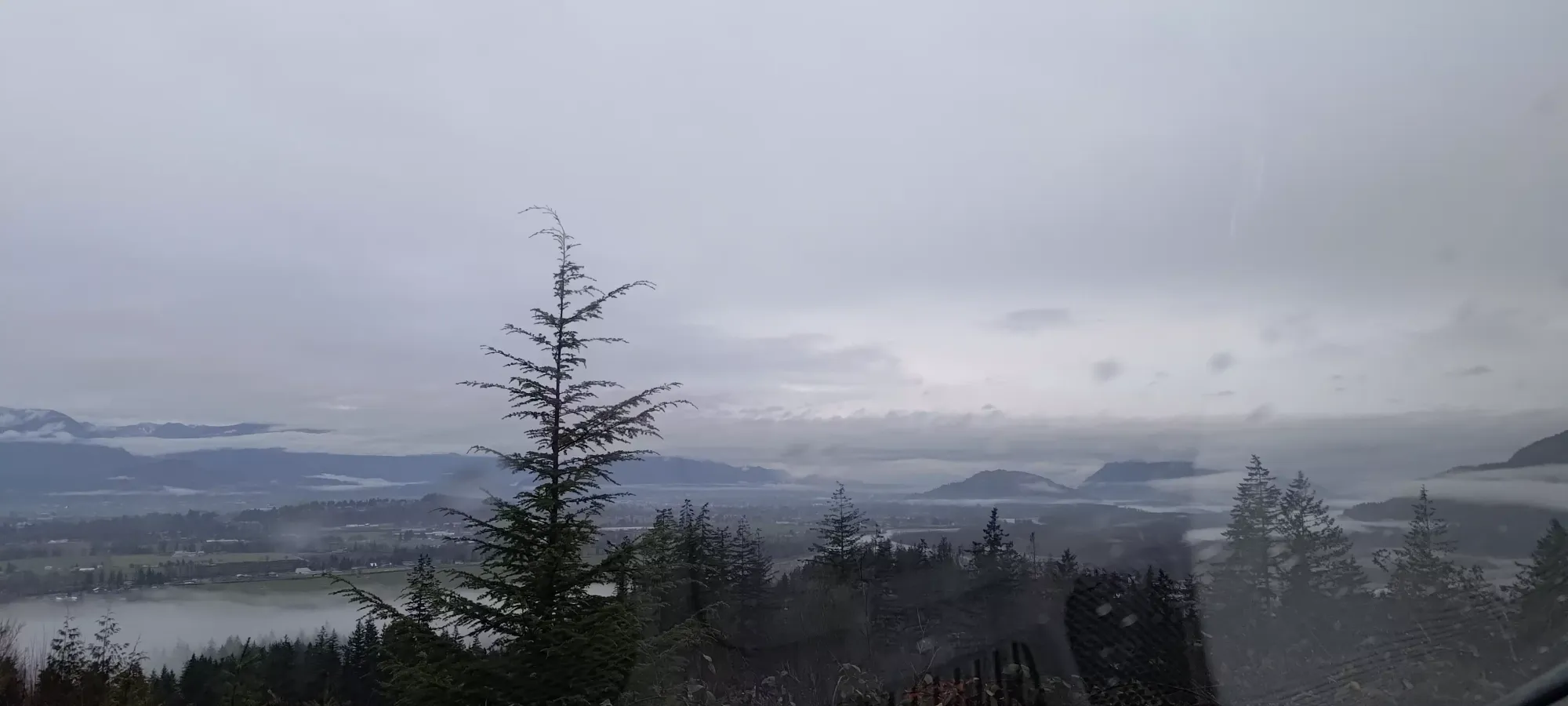
I'd not tell anyone to go out of their way to bag this, but getting it on the way home from a bigger peak, or along with the neighbouring Mount Agassiz is a pretty good idea. There are views when the weather is good, the drive is easy, and hey, free peaks are free peaks.
GPX Track + Map
