Mount McRae - December 30 2023
A prominent but trail-less mountain in the Chehalis area, best saved for a day when you don't have better things to be doing
Chehalis, Chehalis, BC
1534m
Another day, another trashy summit as we struggle through the record setting heat of December 2023. Since this Saturday was one where the freezing levels were again above the tops of all the nearby mountains, we decided to go for something where the snow wouldn't make a big difference, instead of chasing marginal skiing on sticky, wet crap. Mount McRae fit the bill as a peak with over 1000m of prominence (therefore worth visiting), with logging roads that get you fairly high (still driveable), and the vague possibility of the proclaimed "not bad" bushwhack potentially being made easier by what snow remained. Logan, now back in town after visiting some family for the holidays, decided to come along, so after crashing with some family on the North Shore the night prior, I picked him up in the early morning, and we headed out east.
The day was ideally going to be under 5km, so we might not have needed to wake up so early, but we also knew the roads were fairly variable in their condition, "mapped-ness", and snow cover, so we wanted time to explore and figure stuff out. This proved to be useful, as we drove up to our first spur north of the peak to find a very friendly forestry worker about to light the whole area on fire to burn off some slash piles, along with an impassable washout to boot. We retreated south closer to the NE ridge area, and explored a couple spurs before settling on the one we decided to park at. If you're following these directions, it's a well-maintained FSR to the start of Hale Forest Service Road (up to Sunrise Lake). Beyond that, there are a few uneven spots I'd want AWD (or 2WD with aggression) and medium-clearance to get up, and that'll get you to the fork/detour in our driving track. There, the next spur has a lot of "tight" water bars, not super deep, but quite narrow, so your approach angle matters a lot. I'd recommend AWD and high clearance, but if you're aggressive, you can get by with a bit less. From our last detour to the end of the road is AWD and High Clearance at a minimum, there are DEEP water bars with logs at the bottom, one of which I was forced to use momentum for, and a couple which kissed my chin, despite having about 30 degrees of approach. So be prepared for some serious driving if you want to get this far. We parked at the end of the driveable road, at the bottom of a cutblock.
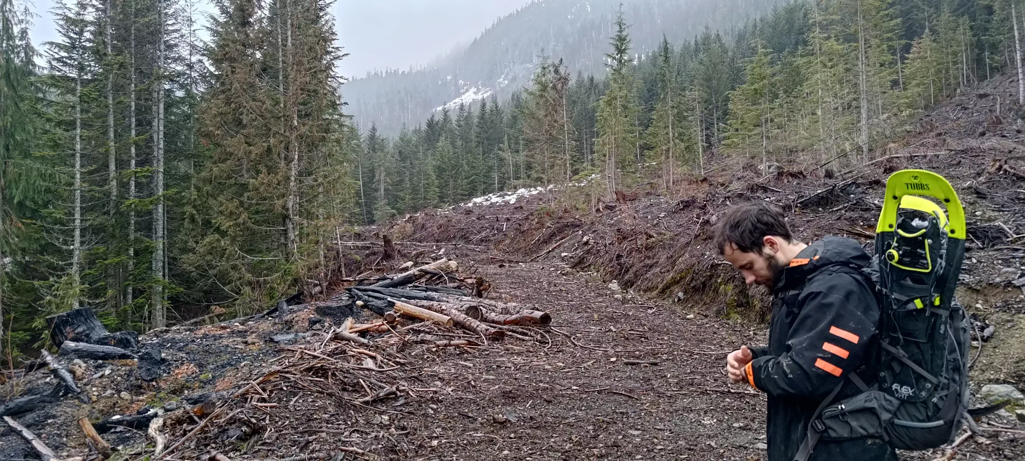

There was patchy snow right from the start of the hike (road was dry all the way to 975m), though the rain was falling as, well, rain, and not snow. This along with the thin depth (just a few cm at this elevation) made it quite soft and breakable, which wasn't super useful. The first couple minutes in the cutblock were tedious, but once we got into the forest, we had decent dirt to walk on, and could mostly just wind through trees and brush branches aside rather than having to full-on fight through the bush.

The forest was somewhat steep, and a bit slippery, especially with the rain, and the patchy snow, at least when it was too thin to support weight. In forty minutes, we gained about 125m, and had crossed a few small creek. If you wait for more snow, the navigation would be easier with fewer creeks and bushes, but you also couldn't drive as high, so it's definitely a debate as to what is best. This was "fine", at least.
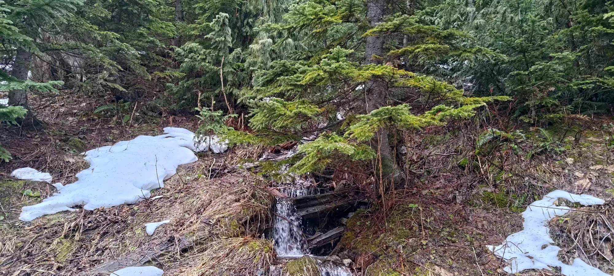
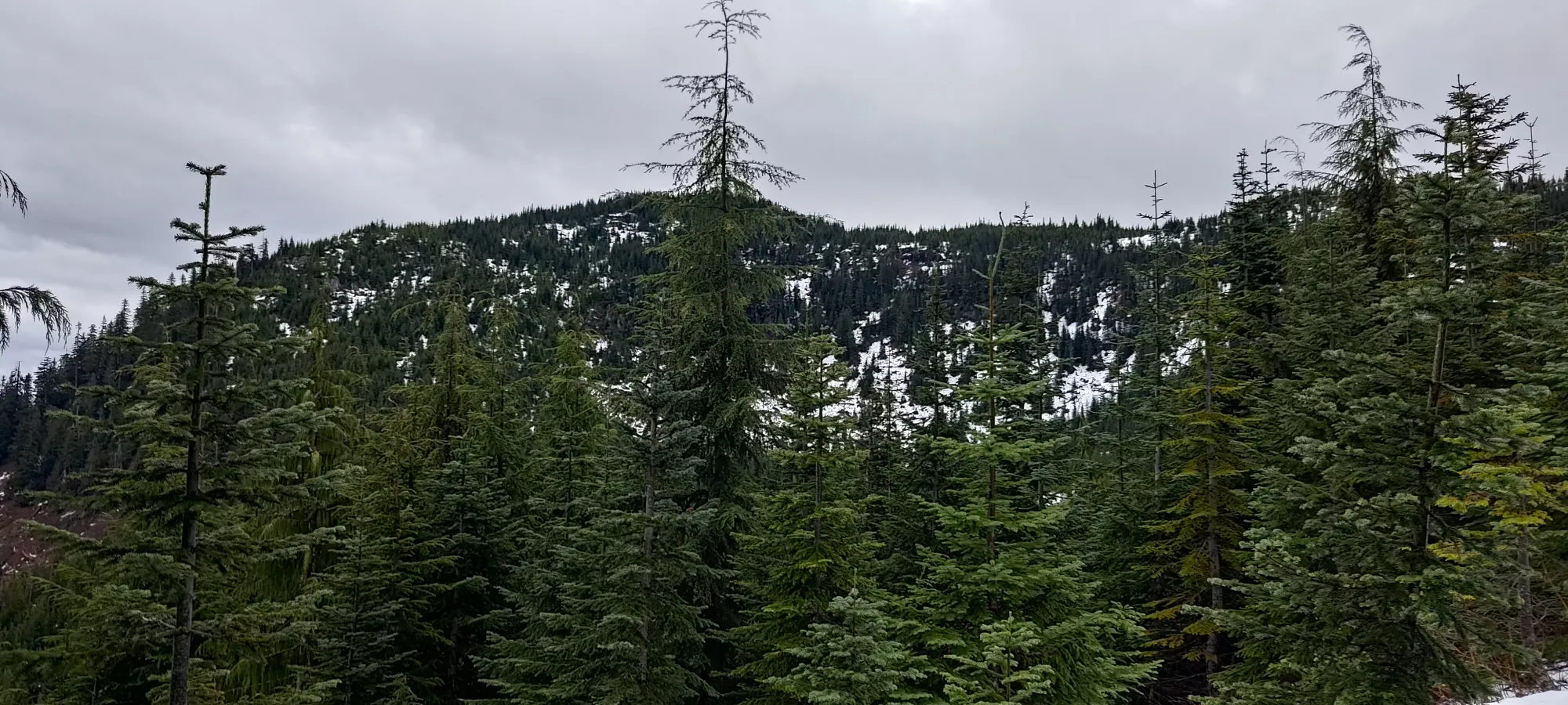
A second forty minutes of tedium brought us up to 1300m, where the snow was getting more consistent, and usually supportive, which made things a bit easier. Logan was still on the mend from a cold, so we weren't moving super fast, but the terrain was still not doing us a ton of favours. It didn't help that the beta we had was for a wide variety of routes with no real clear winner, so we just kinda were winding up "what made sense at the time", which isn't as fast as just following a known route.
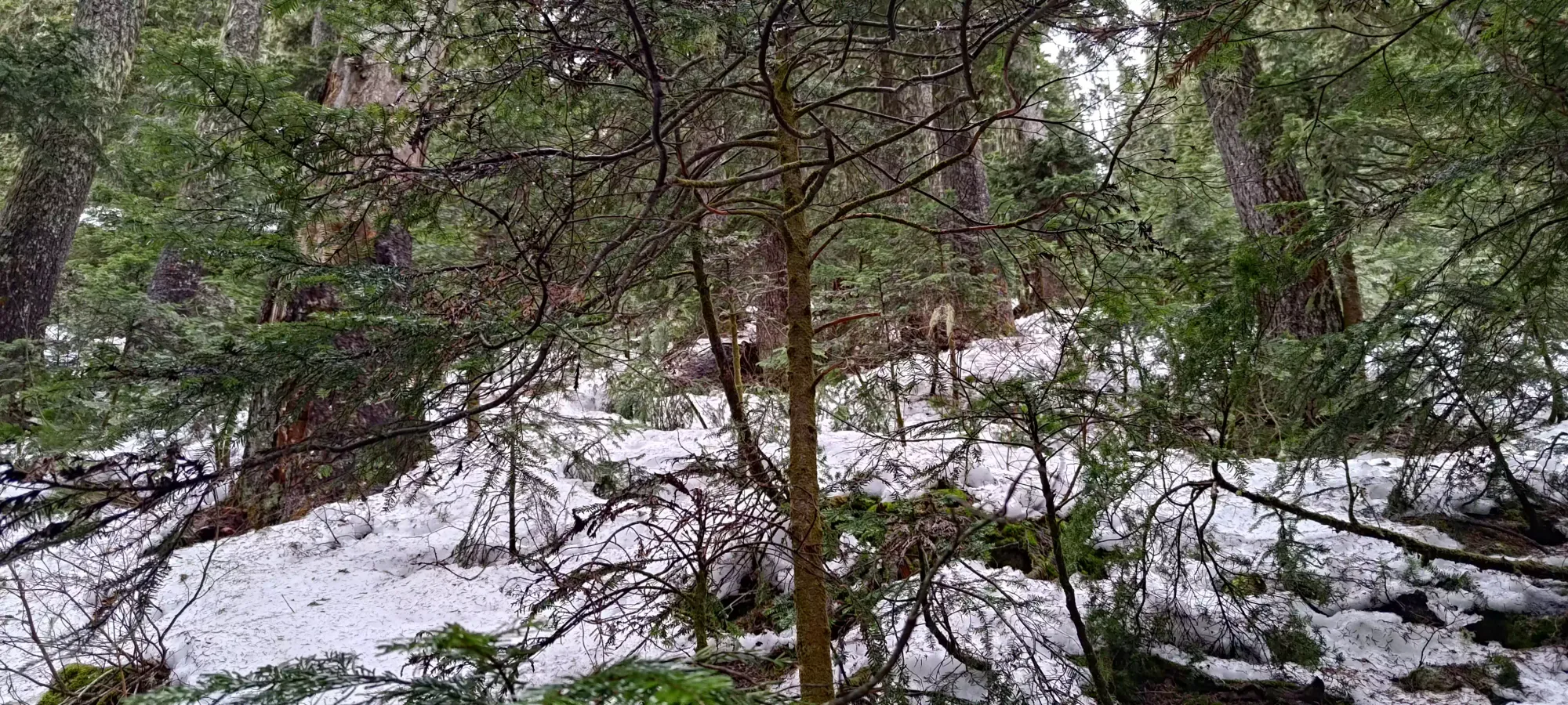
I took over leading at this point, and with some more consistent snow, we started moving a bit faster, taking only 25 minutes for the next 100m of elevation gain. Near the top, I started postholing a lot, especially where the trees opened up a bit, so we slapped our snowshoes on, which we were glad weren't just useless pack weight for the day.


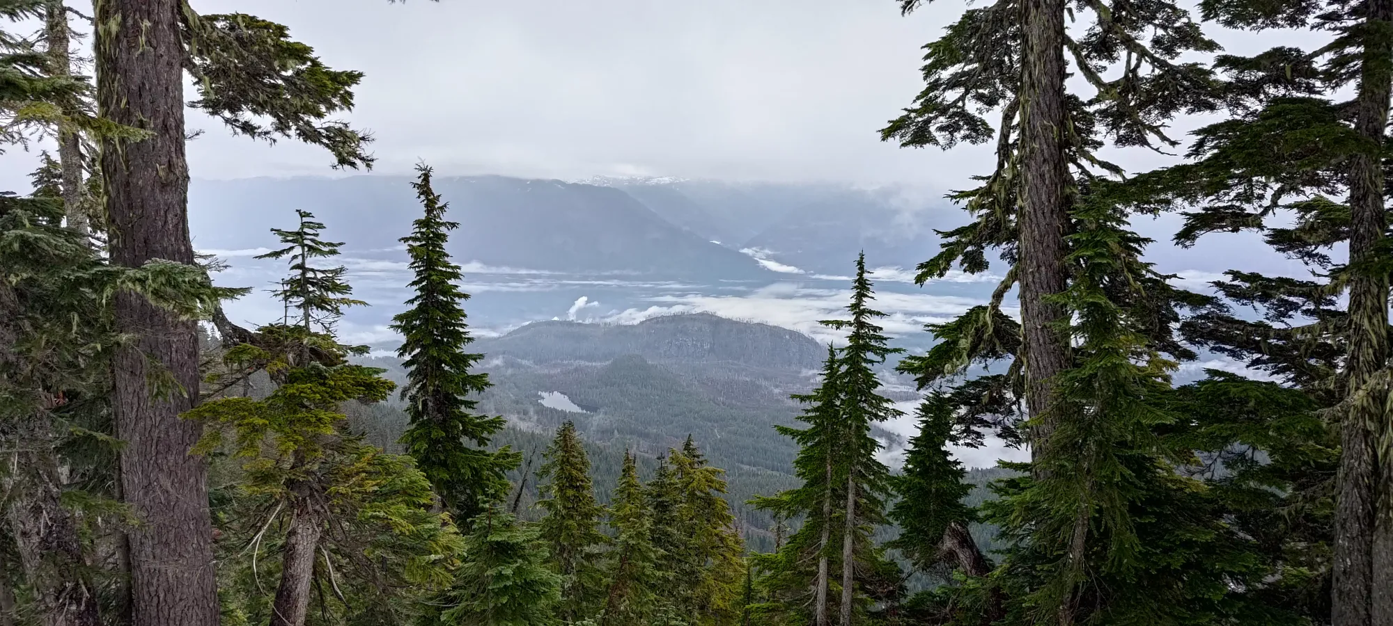
After we hit 1400m, it was much easier travel along the summit ridge. The trees were less dense, so no more bushwhacking, and the lack of sidehilling made the snowshoe a lot more pleasant. At a leisurely pace, it took me 20 minutes to punch a track up the ridge to the top. From our viewpoint below the ridge, we had some hopes of decent views, but once we got up top, of course, it was totally socked in. Oh well, we were expecting trash views for the day anyways, so it wasn't unexpected, even if it was disappointing after having our hopes raised a little.


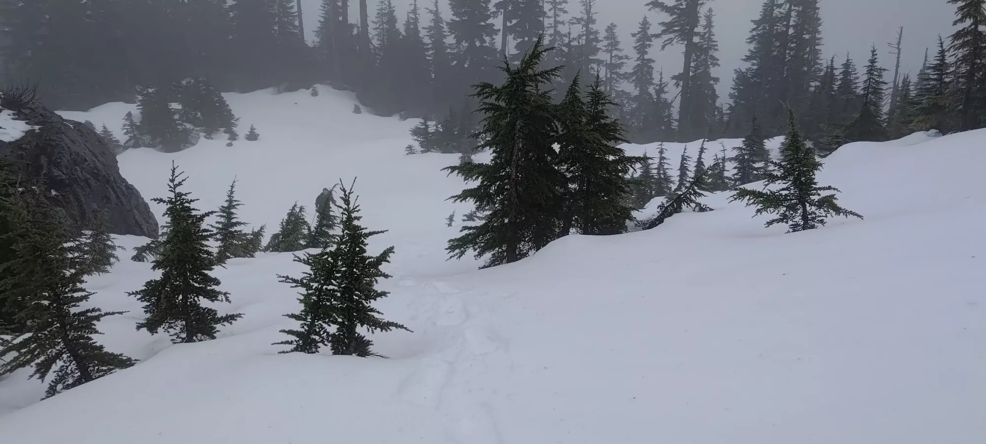
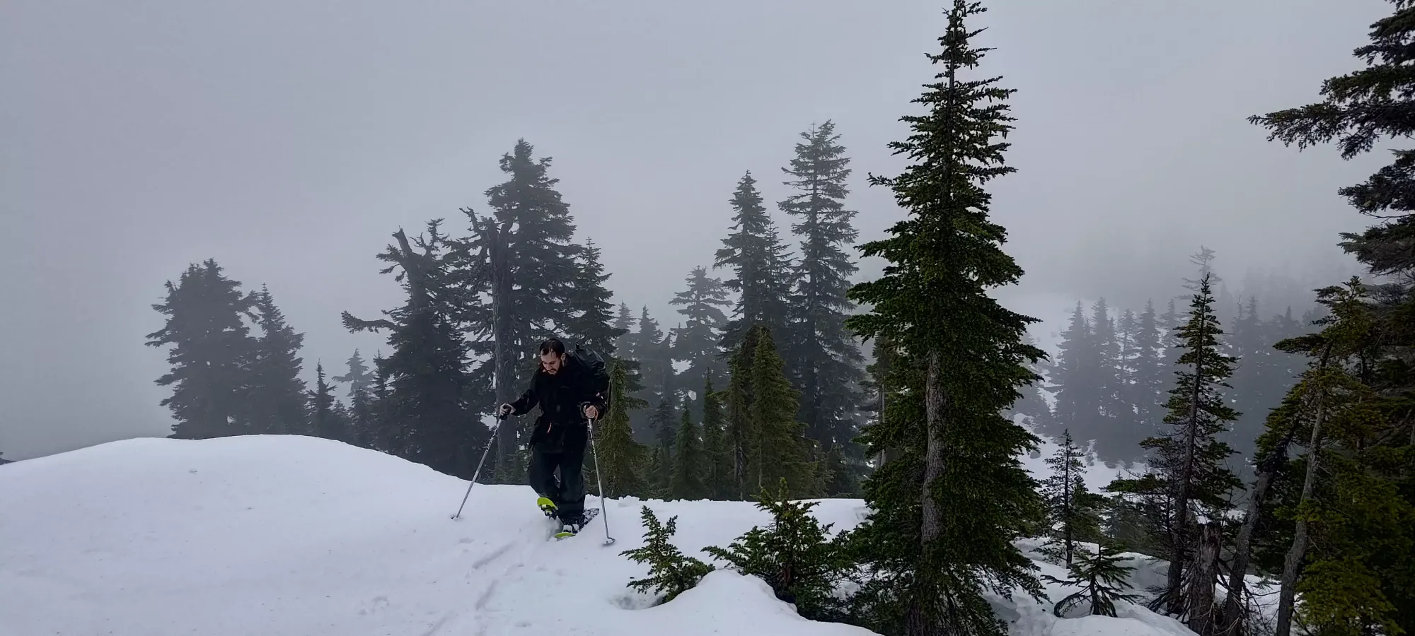

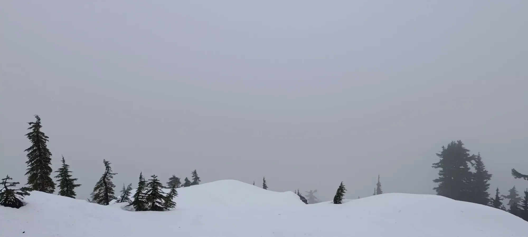
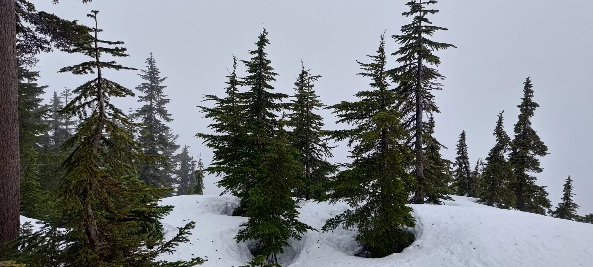

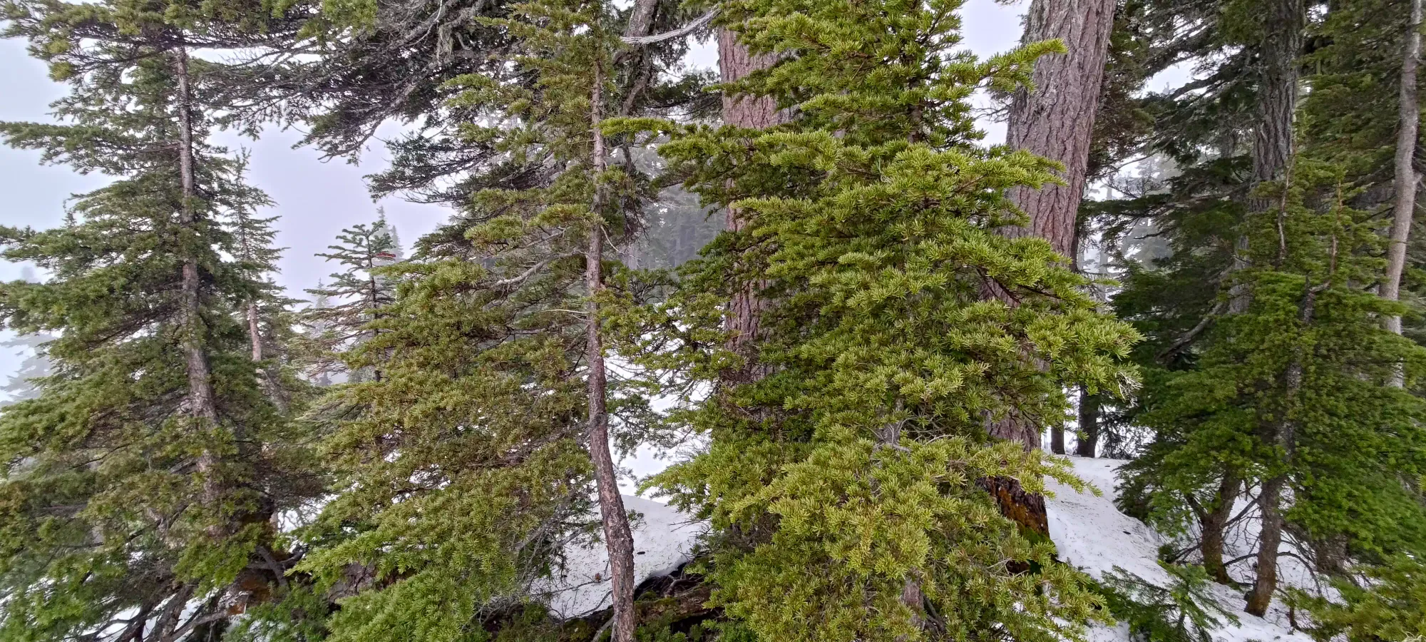
The stupendous views on top of Mount McRae

We walked around to the other possible summit to confirm which was higher, and were happy to discover the first one is, in fact, the highest, so no need to go further. Given the lack of views, we didn't linger long, and just started our walk back down. The wet snow made for a bit of a slippery descent, but the ridge isn't steep enough to pose much of a challenge, so we got down to the viewpoint just below the ridge in less than 15 minutes.
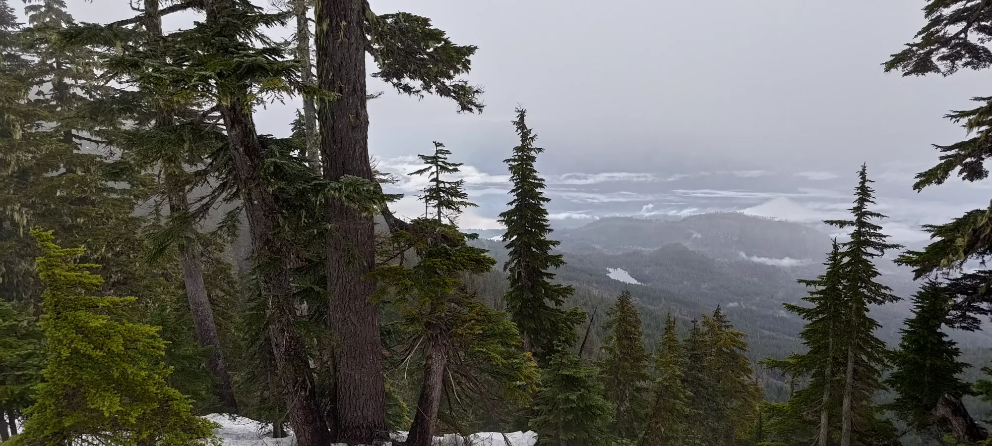
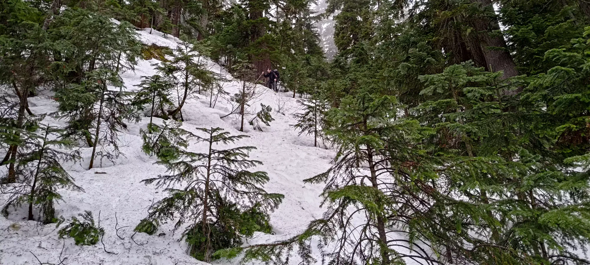
We descended about 50m before the snow got supportive enough that we decided to swap back to just our trail runners. I was happy to have packed microspikes, and Logan was a bit disappointed that he forgot to do so. The rest of the descent really wasn't very eventful, this is a pretty simple peak, just walk up the forest then walk back down. We didn't follow our route up, or any of the GPX files we'd downloaded, and the descent went fairly smoothly so I'd say that was probably the right call. You could try to follow ours if you intend to bag McRae, but honestly "just the terrain that makes sense in front of you" is probably the best call. After swapping to our shoes, it took less than an hour to get down, making the entire peak under 4 hours. This is definitely an easy day, bordering on a trashbag if it weren't for the prominence. As a result, we decided to add some extra value to the day by heading to Mount Woodside for an extra summit while we had the time.
GPX Track + Map

