Mount Saint Helens - February 10 2024
An excellent ski tour to a prominent peak, straight up and down, no extra transitions required. The true summit is less frequently visited, and requires some basic care to safely avoid cornices, though


Mount Saint Helens Area, Washington, USA
2536m
With the beginning of the month being not-very-productive for me from a peakbagging sense, I wanted to get something a bit more impactful done to compensate. I also still wanted to get to ski some decent snow, though, so with BC basically being "a rock-hard crust" everywhere, but Washington and Oregon getting some snow during the week, I decided it was time to head south of the border. My main buddy in the states, Tanveer, was working Saturday, though, so I had to find something to do for the first day. I was going to stay in Portland Saturday night, so something between there and home that was soloable and "worth" coming down for was on the docket. Saint Helens, being quite prominent, a Cascade Volcano (a list I want to make some progress on), and generally fairly gentle, ticked all the boxes.
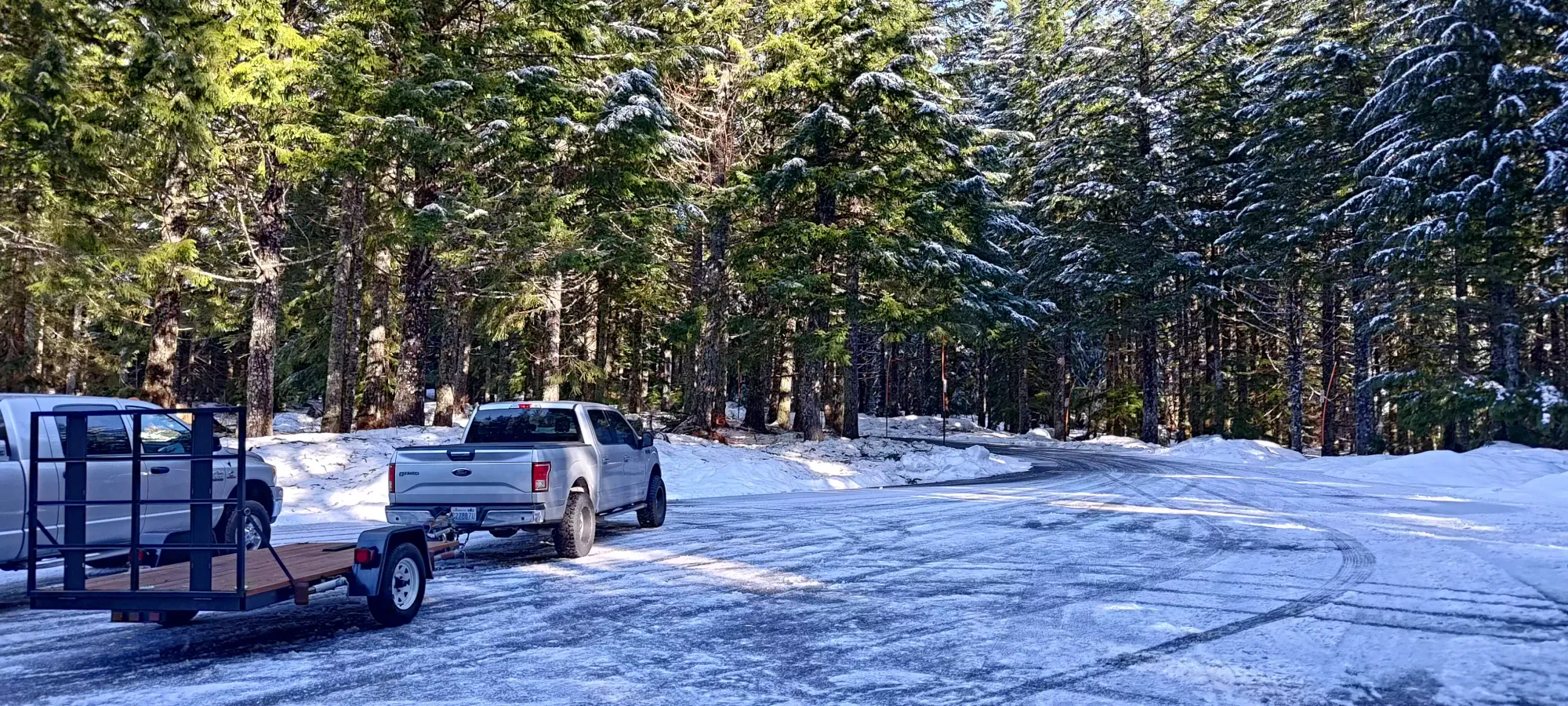
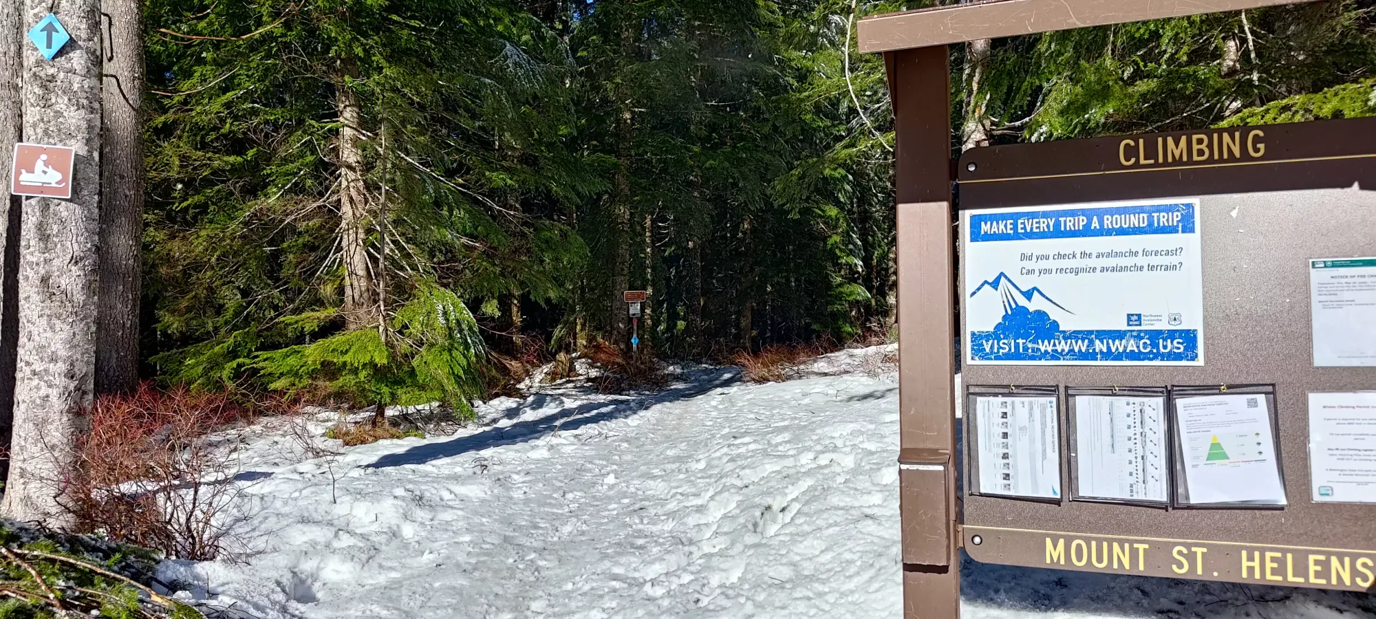
I got up stupidly early on way too little sleep, and ended up getting on the road at 3:40am from Squamish. The drive down took about six hours, the last couple of which were a bit of a struggle to stay attentive on (not a great sign for my energy to ascend). The road was plowed the whole way, and there was ample parking, although I did have to get a pricey $25 permit for the privilege. There were tons of people doing everything including skiing, sledding, and hiking at the trailhead, so it seemed like I wasn't going to be very alone up there. After gearing up, I got moving at 9:54am, where I had to walk up to the parking lot I didn't realise existed just above me, then slapped my skis down and got skinning right at the trailhead!
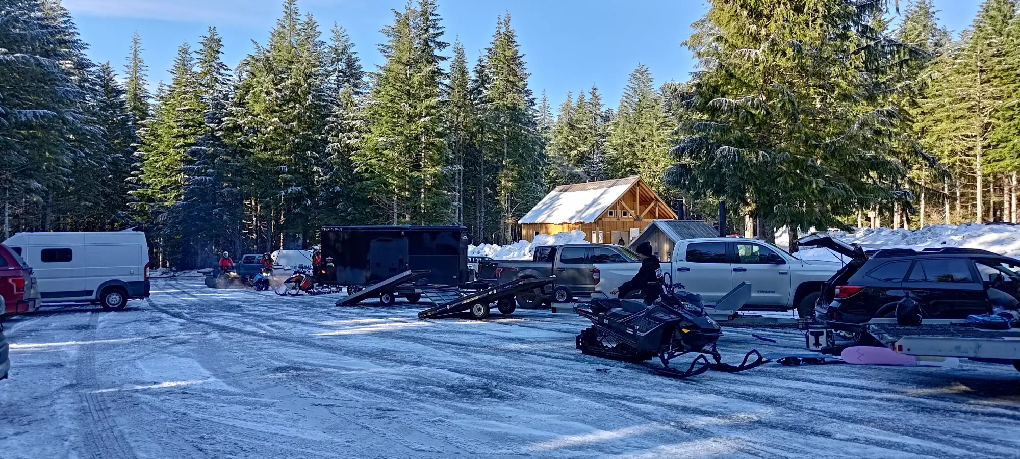
Lots of parking
Despite the variety of travel methods being employed on the trail (snowshoes, bootpacking, and skinning), there was enough skinning done to pack it down well enough to be fairly efficient. I burned through the first 4km and about 300m of elevation in the first hour despite my tiredness, which is approximately when I broke out of the forest and into the short treeline before the full-on, extensive alpine. The day was pretty dang hot, though, so the snow was fairly wet, and I was glopping pretty intensely, so I had to take a break to scrape the built-up snow off my skins before continuing on.
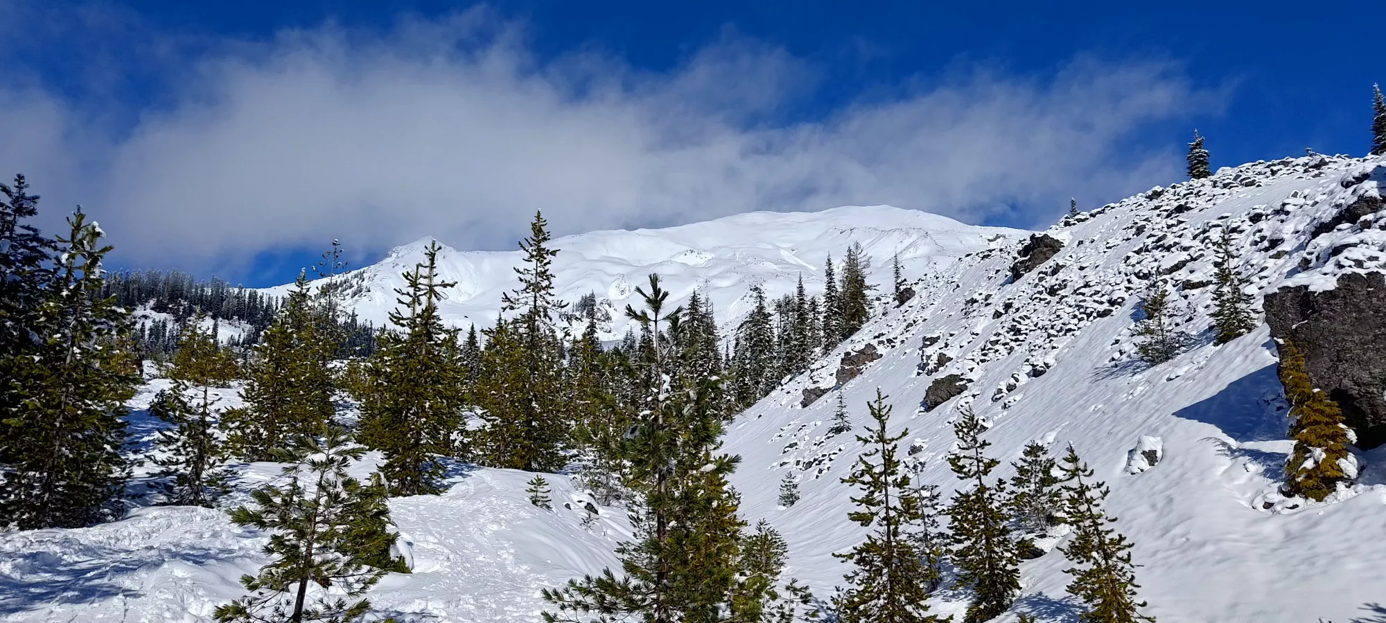
The next kilometre was alright, and I gained up about 170m in about 20 minutes. From that point on, though, the lack of sleep started to hit me hard, and I slowed down quite a bit. I think this was compounded by the heat. In the sun, without wind, on a fairly warm day, it felt like summer. Even when I stopped long enough to get my heart rate down, I felt warm wearing naught but a baselayer. In the next 40 minutes (bringing me to 2 hours into the day), I gained about 250m, a much slower pace. Not a great sign given I still had about 1000m of gain left to summit 😅. This was going to be a suffering kind of day.
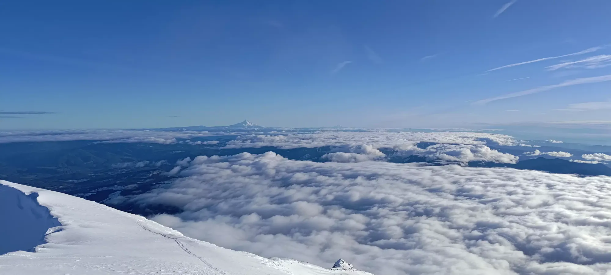
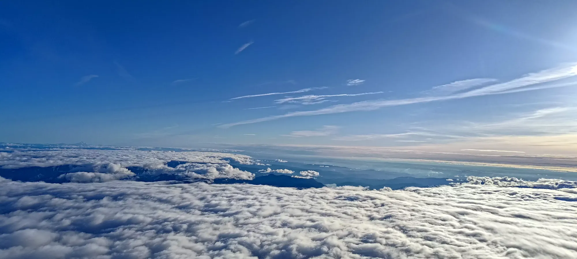
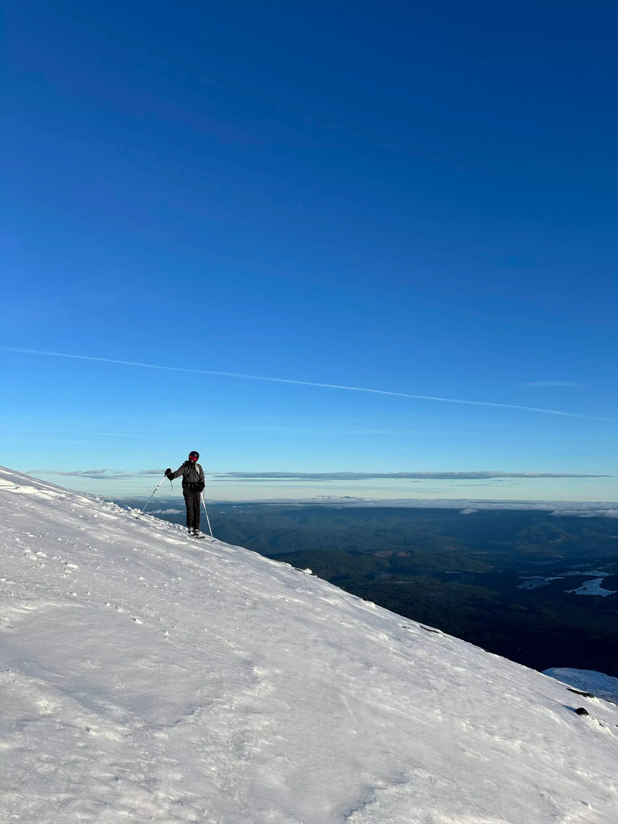
The next milestone would be reached in about 45 minutes, where I topped out the climb of the little ridge above and the proceeding slope to hit a small weather station at about 1675m. I talked to a couple skiers coming down around this point who let me know that the wet snow lasted all the way to the top, so I started considering taking a summit nap and waiting for sundown to ski out, to try and get the snow as it cooled a bit, but before a crust formed.
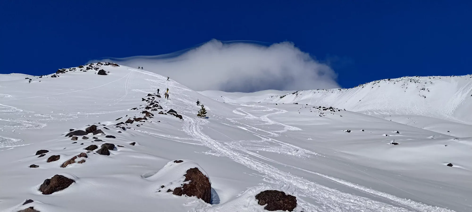
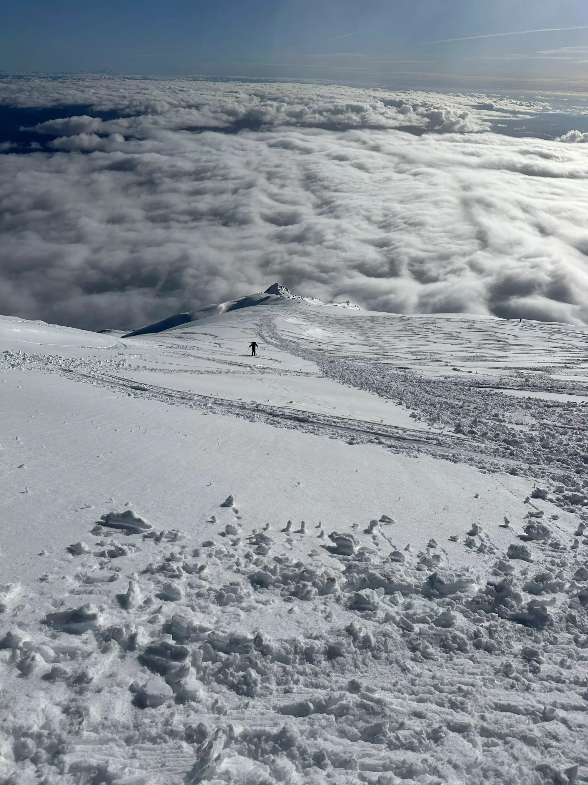
I didn't take another picture for an hour and a half, and instead just focused on slogging my way up the mountain at whatever pace my sleep-deprived body could handle. I also only packed about 1.2L of water and a single peanut butter sandwich, figuring the stats of the day weren't that bad (which would normally be true), so I couldn't compensate with lots of calories either. I managed to keep myself distracted by hanging out with a couple of fellow skiers who were moving at a similar pace to me, which helped keep my motivation up. We slogged and slogged, with a few breaks in-between up to about 2100m, where we found ourselves at the base of "the last slope before the ridge", which felt like it made us fairly close (though the elevation difference to the summit belied an alternate, less attractive reality).
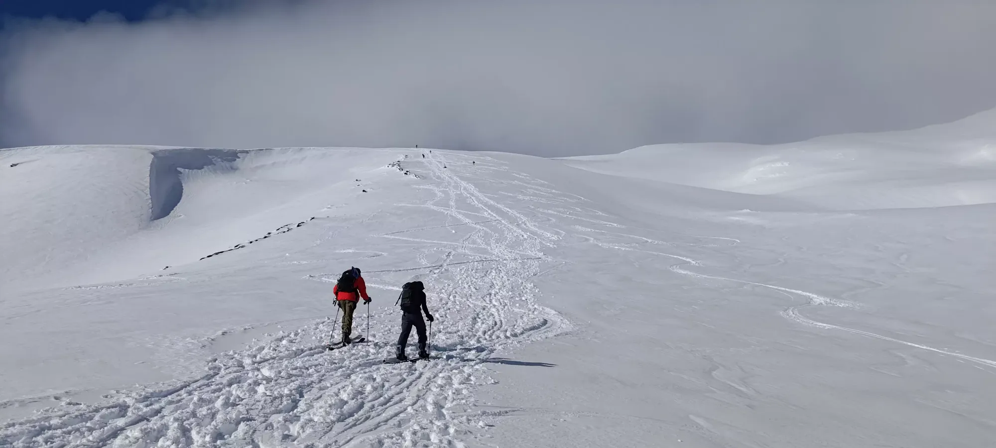
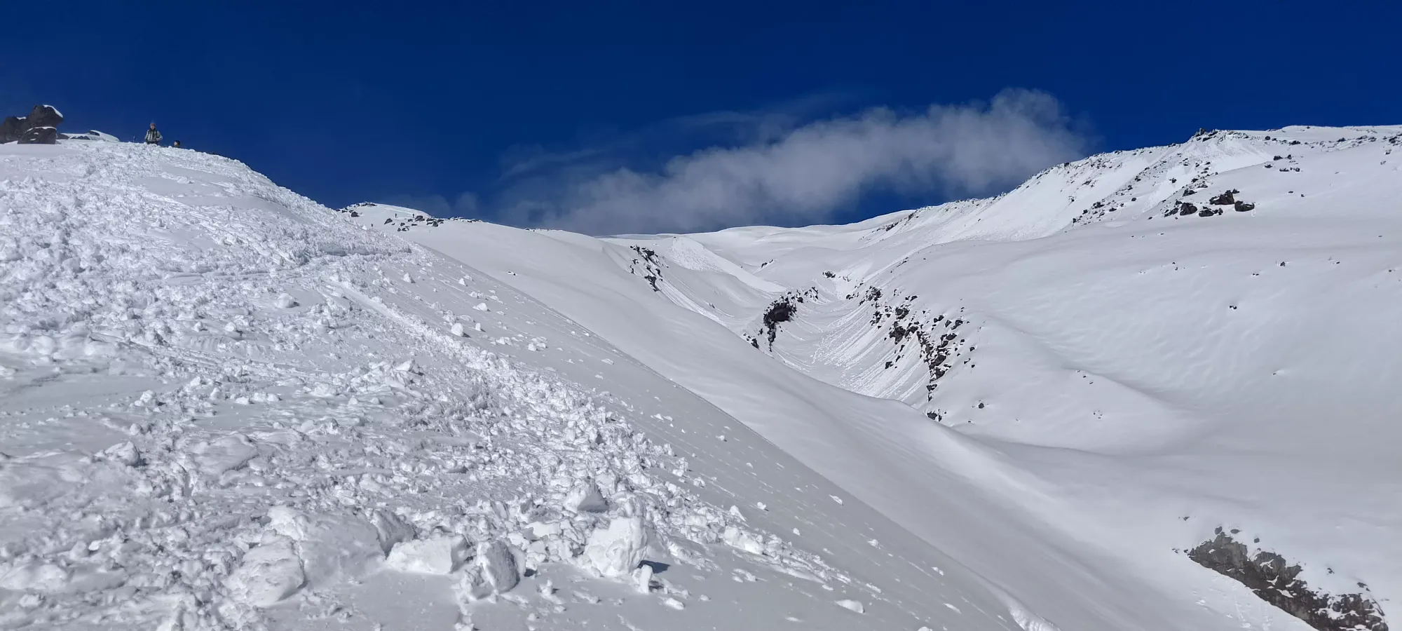
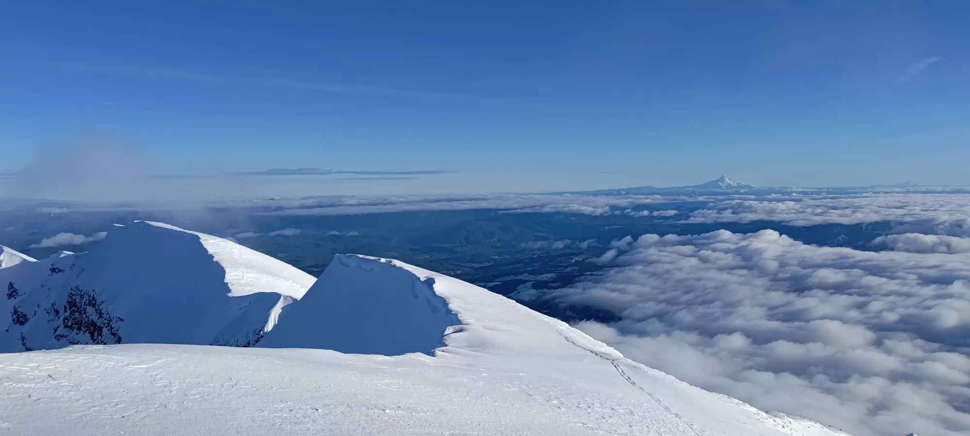
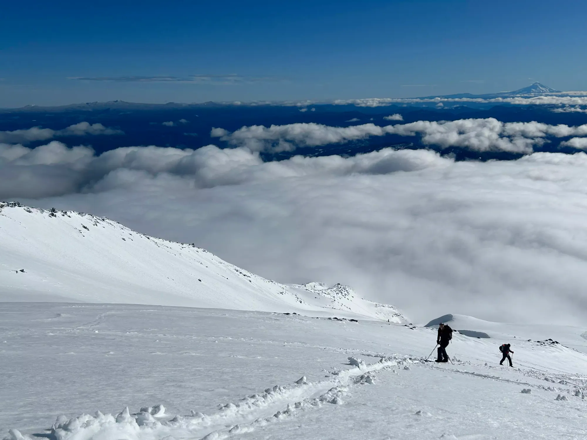
Of course, that slope was actually quite long, and it took another 80 minutes of skinning and mental fortitude to push up that slope and then up the following hills to the actual crater rim, and the false summit that most people end their journey at. My GPS seems to have died for some of that stretch, but thankfully regained signal at the crater's rim before the summit push. Here, my temporary partners, despite my mild persuasion, decided they'd wait for their partners (they had a couple friends booting up a while below us) for a bit before heading down. I also tried to convince a couple snowshoers that they should go for the summit too, but no dice. Somehow with dozens of people on the mountain, I was the only one going for the summit, and I was left to break trail and routefind all by my lonesome 😞.
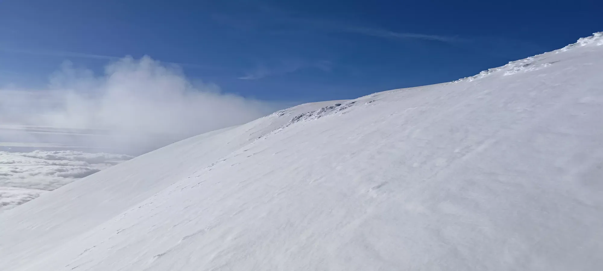
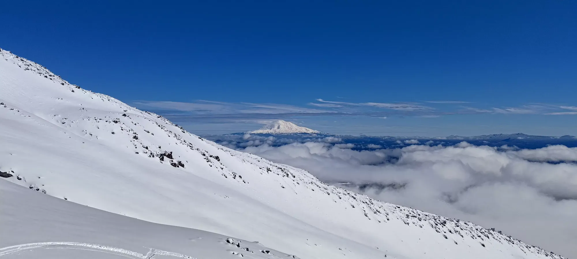
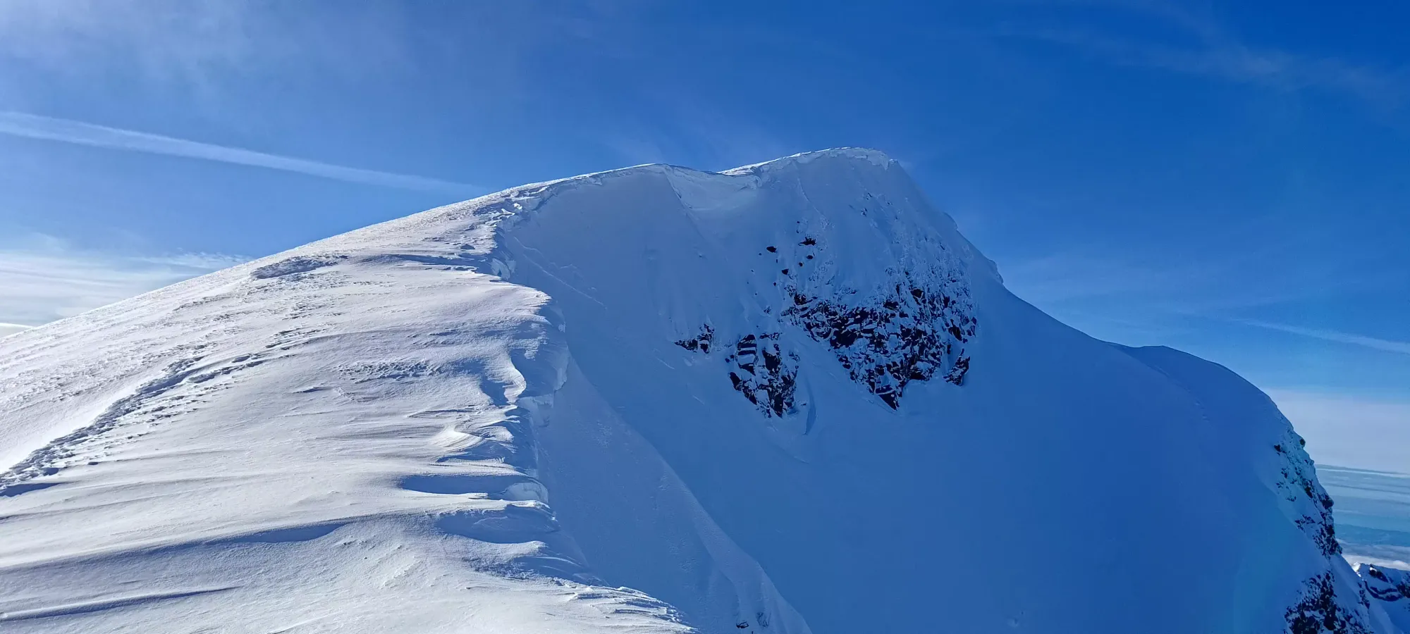
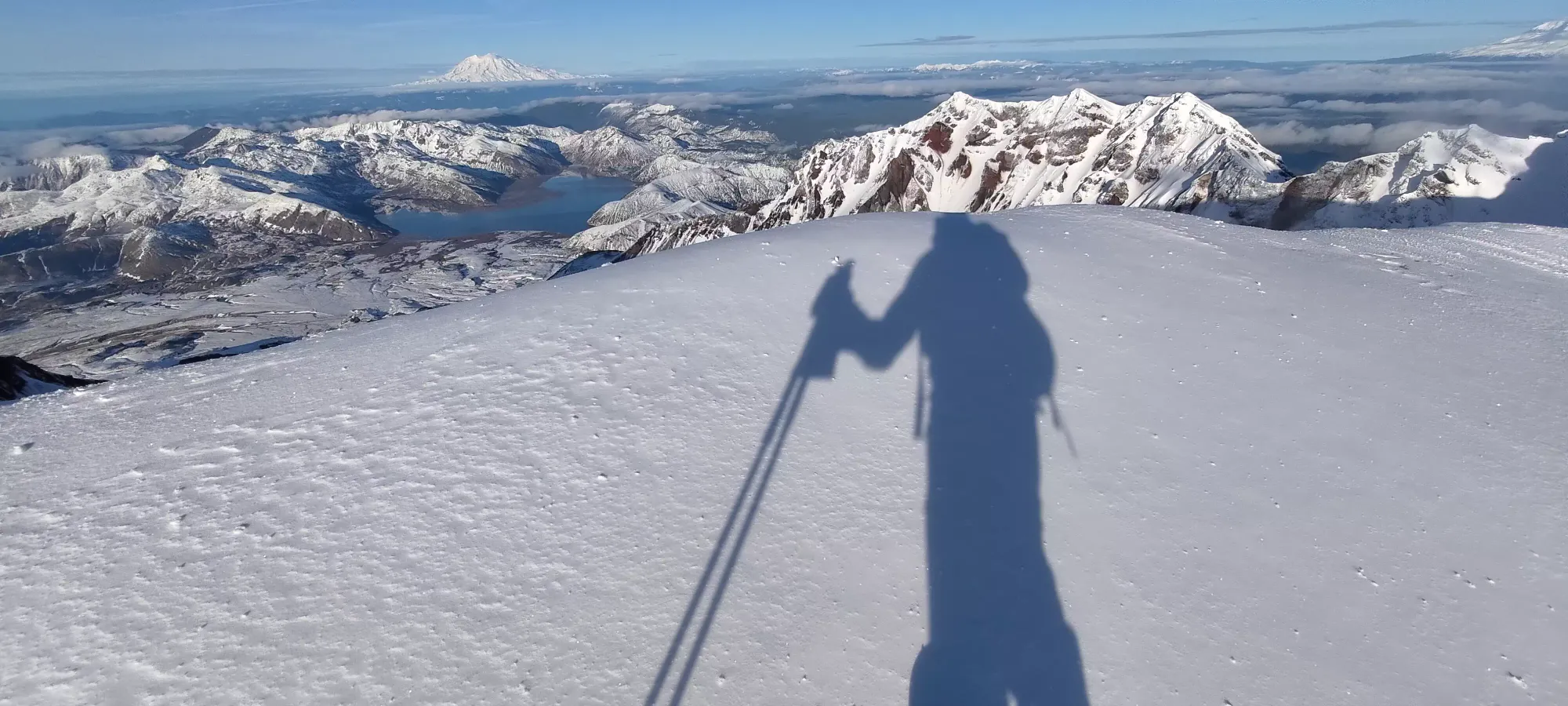
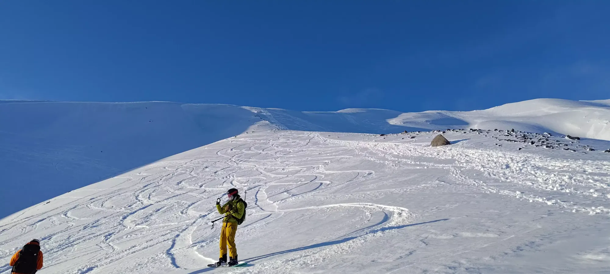
The initial curving below the crater cornices (which I gave a generous berth given the heat+sun) was pretty simple, and I did my best to just cut a straight line, neither gaining nor losing elevation. This worked fairly well, and soon I was around the false summit, with a clear view of my line to the top.
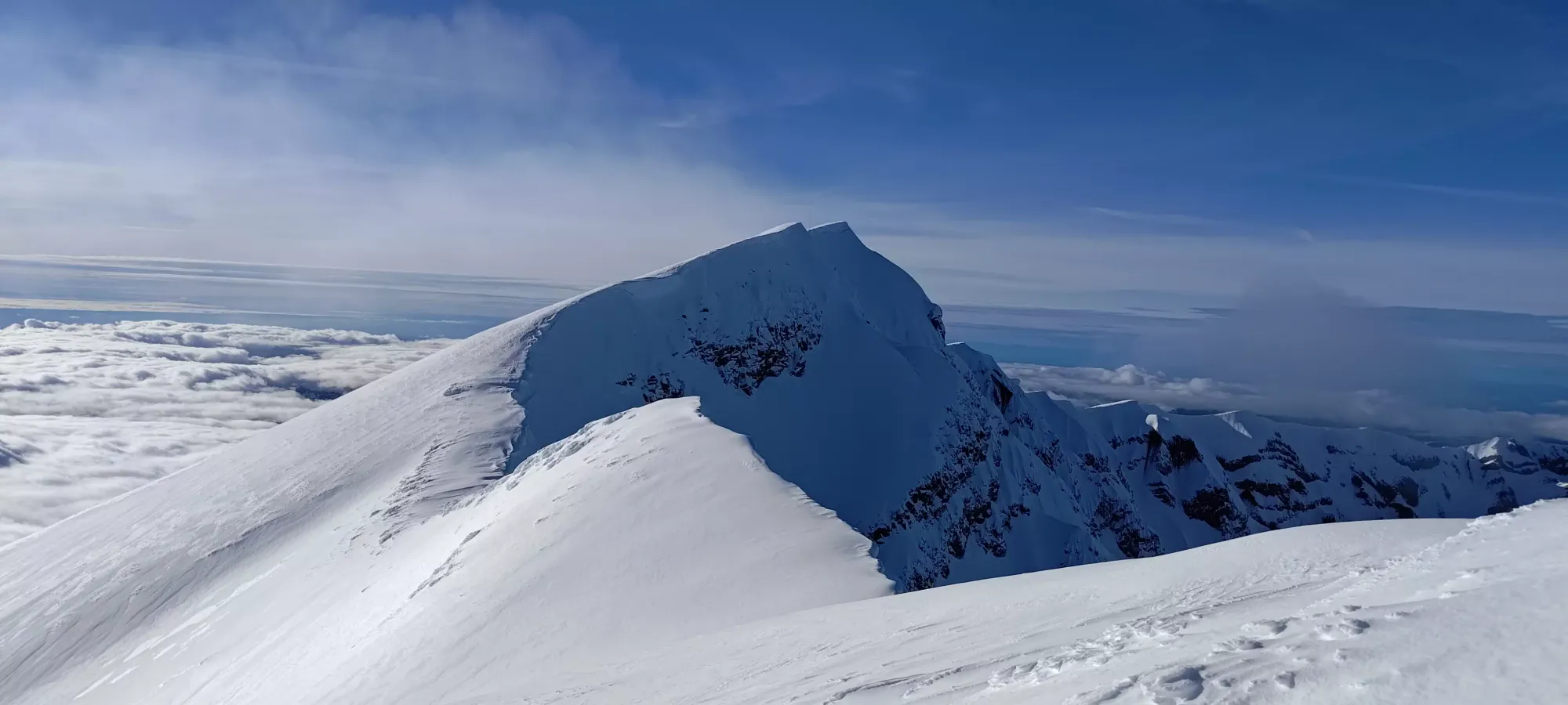
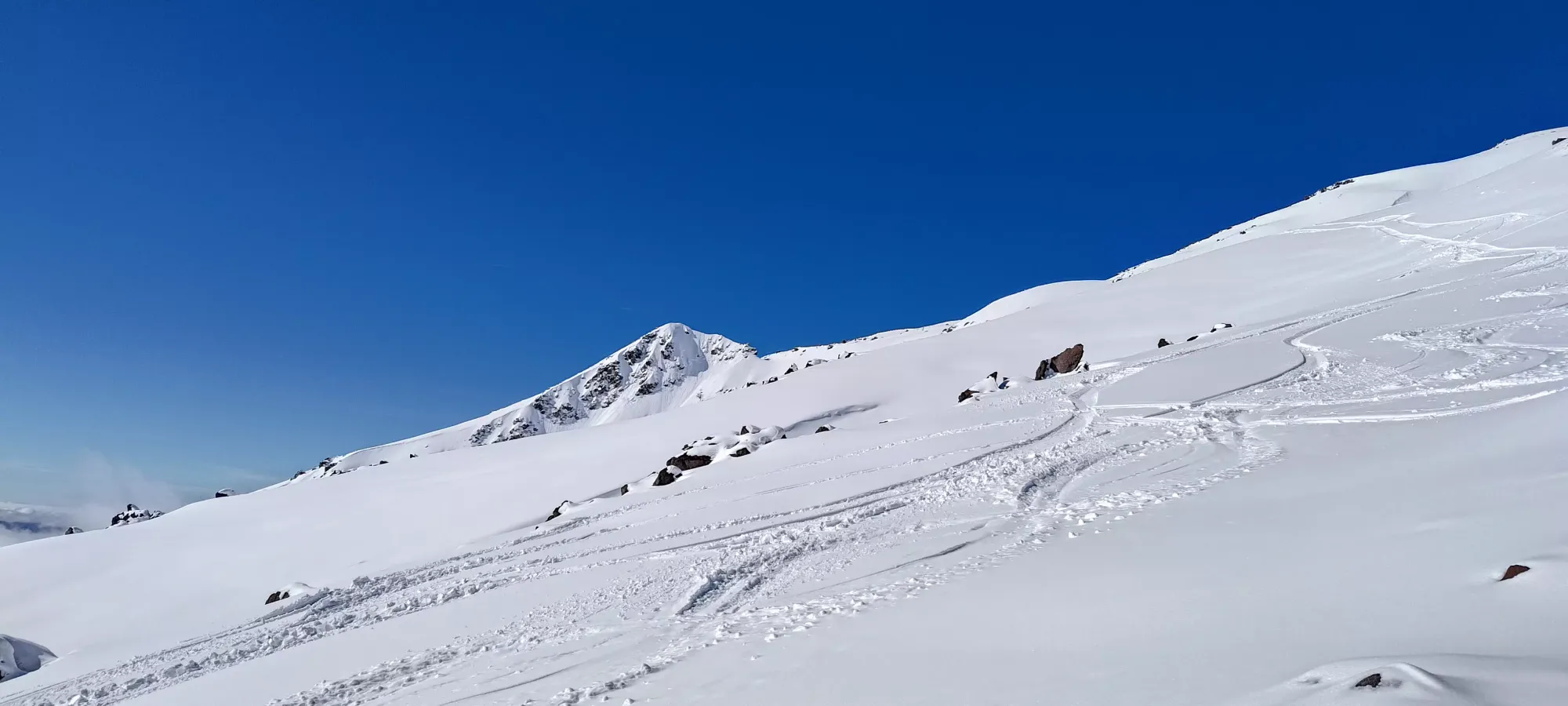
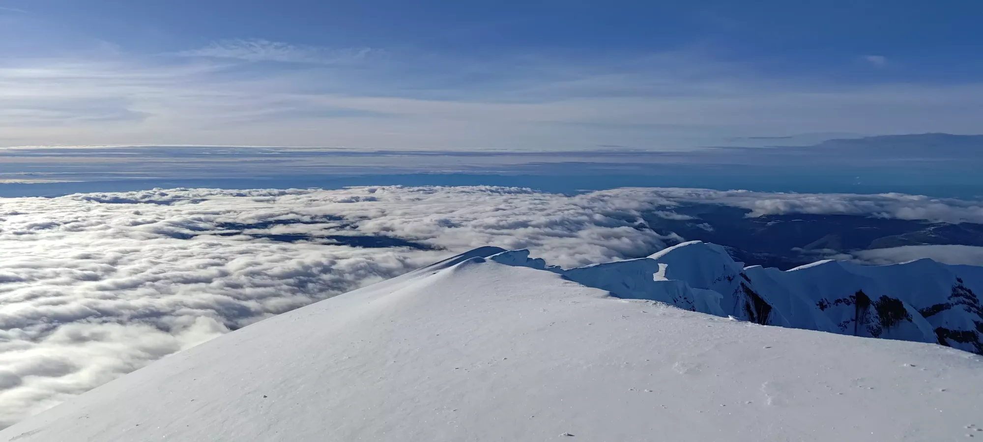
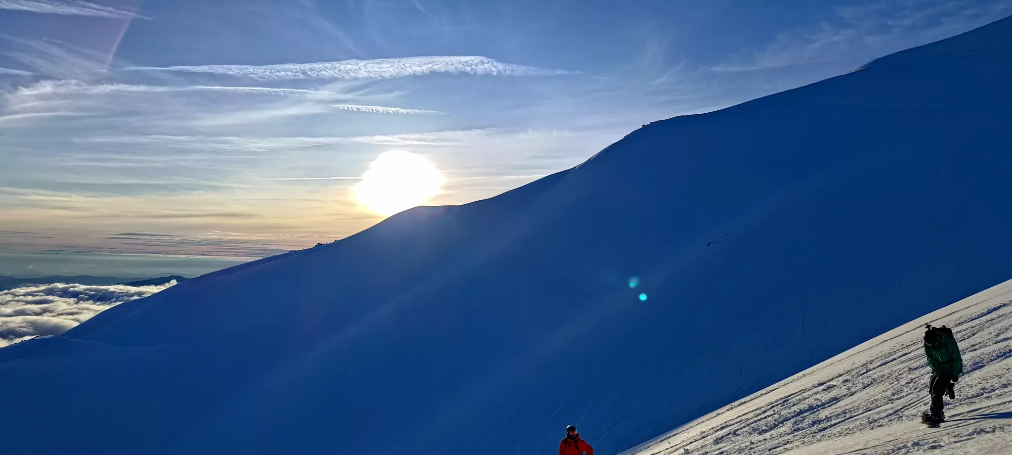
Getting down to the col between the two was a bit tedious, mainly because I was too lazy to take my skis off and bootpack, too alone in warm conditions to ski down and skin up the face (this slope to the left is steep enough to slide), and too scared of cornices to try and ski the ridge itself. So, I awkwardly side-stepped, butt-slid, and skin-skied my way down the ridge for about 10 minutes until I finally got down to the bottom, and could make my final ascent to the top.
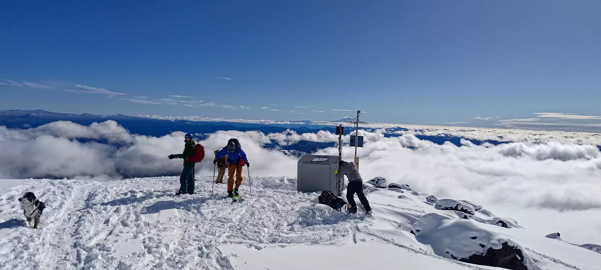
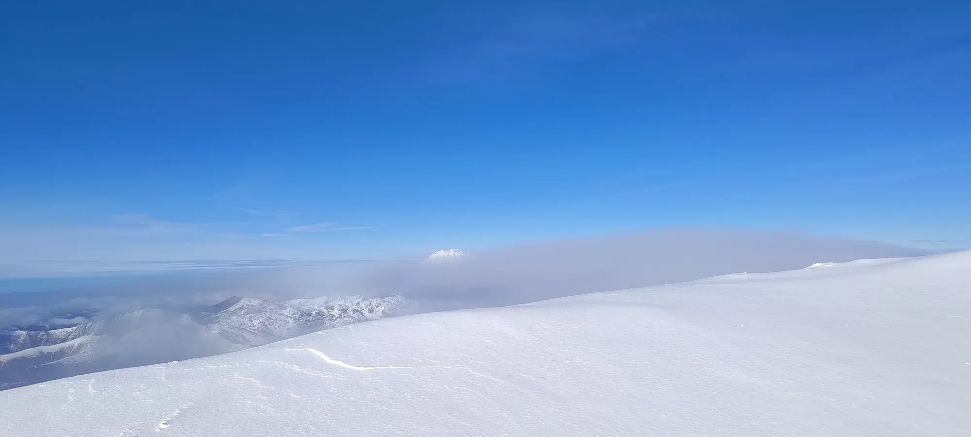
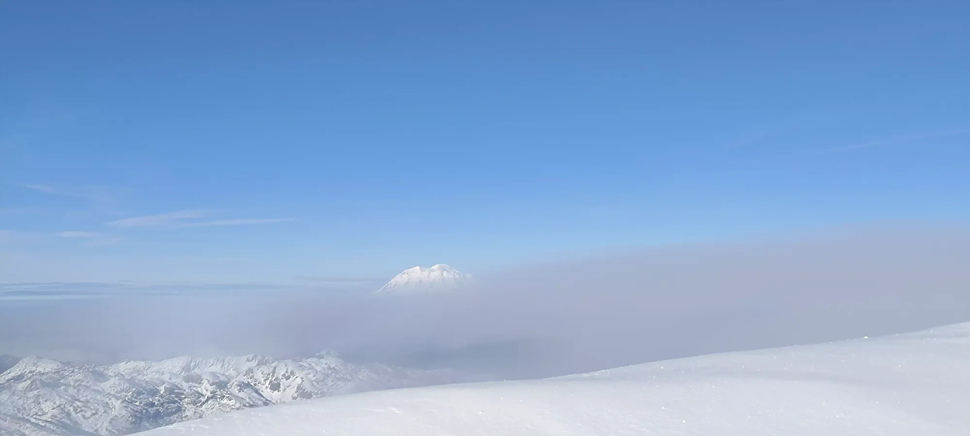
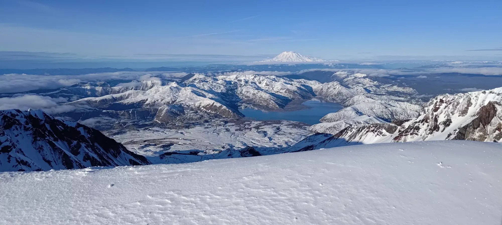
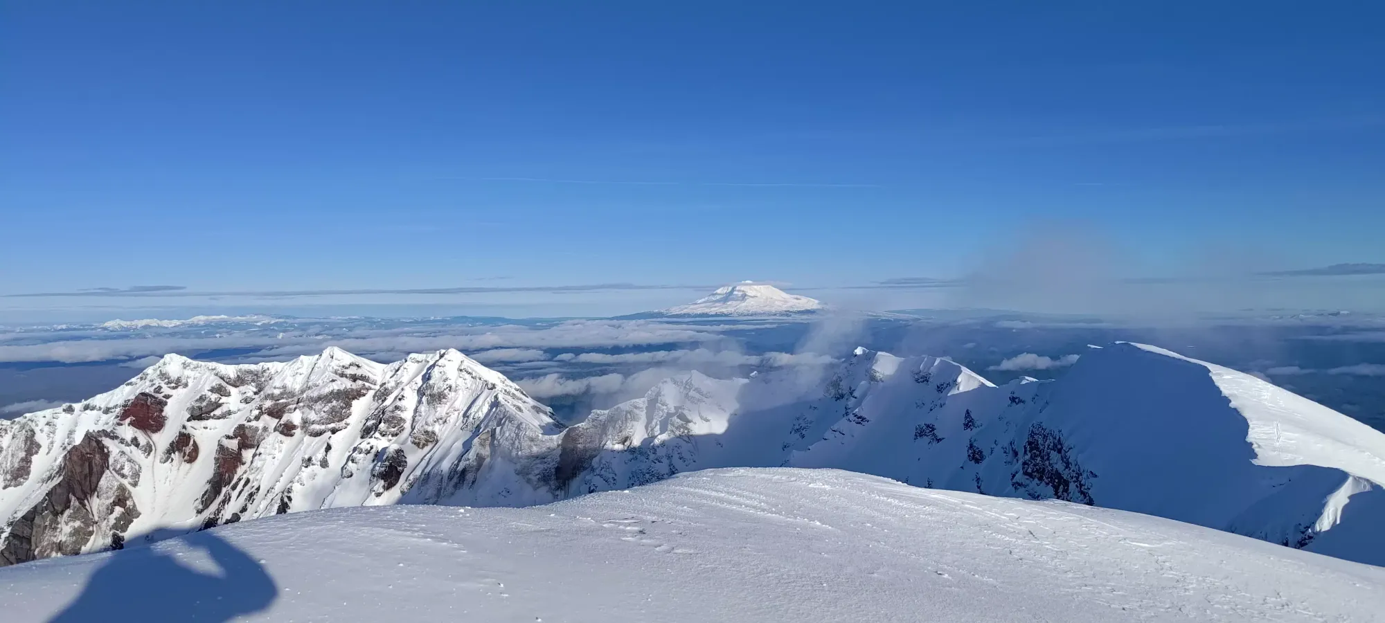
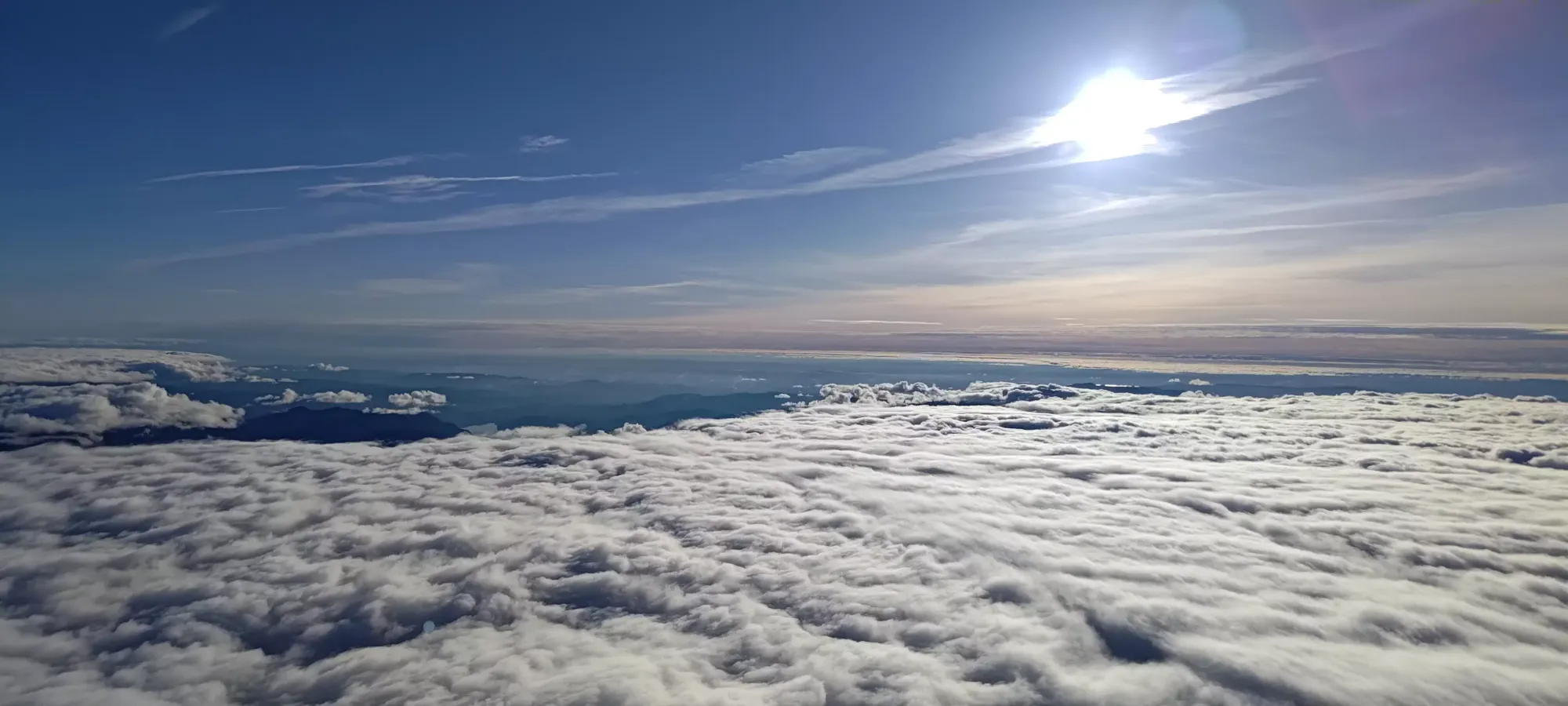
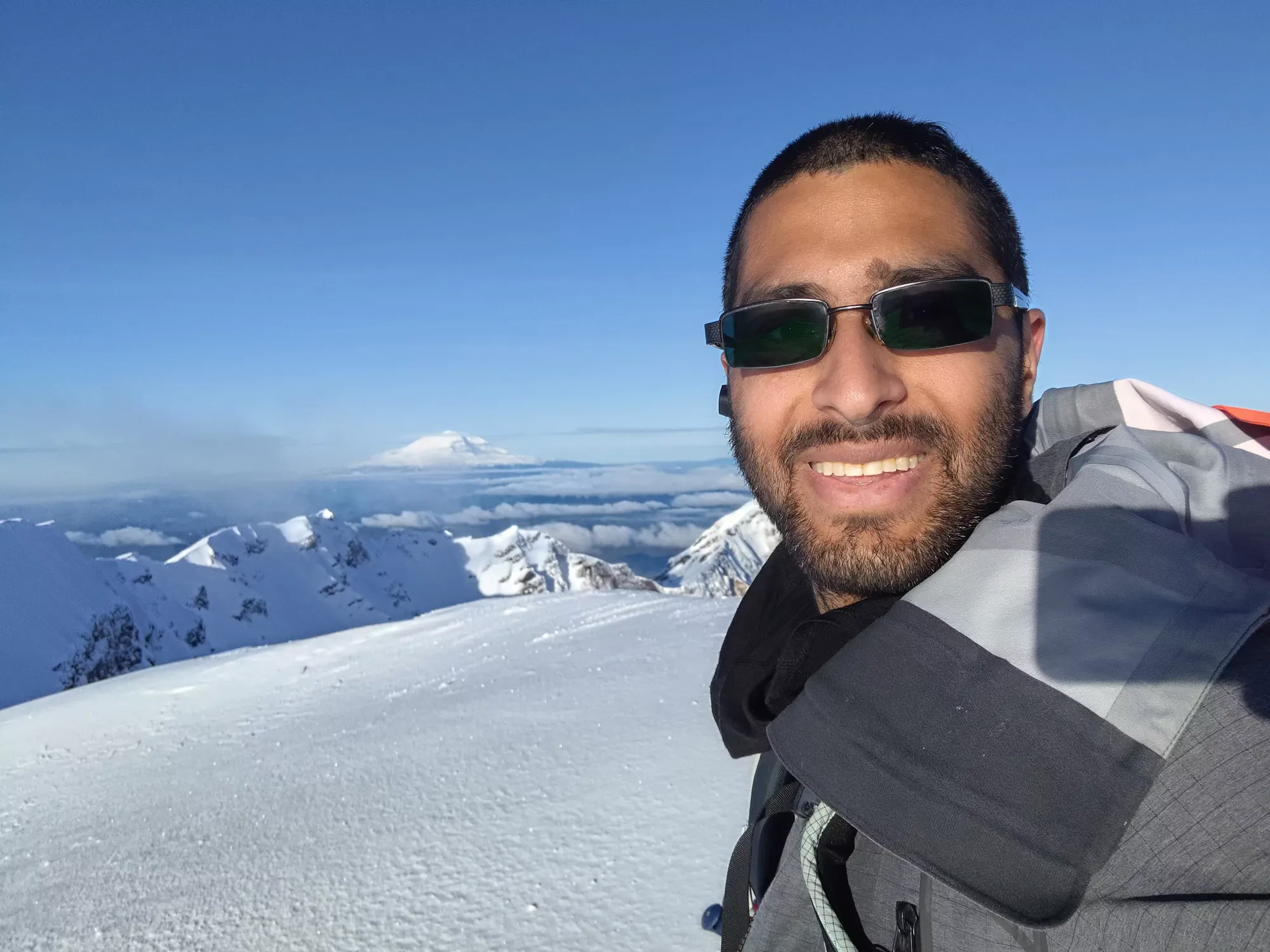
It took me a bit over 10 minutes in my exhausted state, but I finally crawled my way onto the summit a bit after 4pm to take in the views. I was told the crater looks pretty cool, but I'd have to step right onto the cornice's edge to see into it, so I'll simply have to trust that it was a cool view and leave it at that. Or perhaps, as a coping mechanism, I should consider it to be a terrible view I should be glad to have missed 😅.
After a few minutes of pictures and view-absorbing, I snuck down a couple metres to a flatter spot to transition, had the last of my sandwich, and got my skis ready to go down! I decided not to traverse back to the false summit, but to instead cut across the slopes below and rejoin the main area of ski lines that headed back down the Worm Flows route which I'd ascended. That took about 100m of the skiable vertical away, but let me avoid having to re-ascend anything, and also meant I wasn't going to end up at some random trailhead where my car was not, so I consider that a fair price to pay.
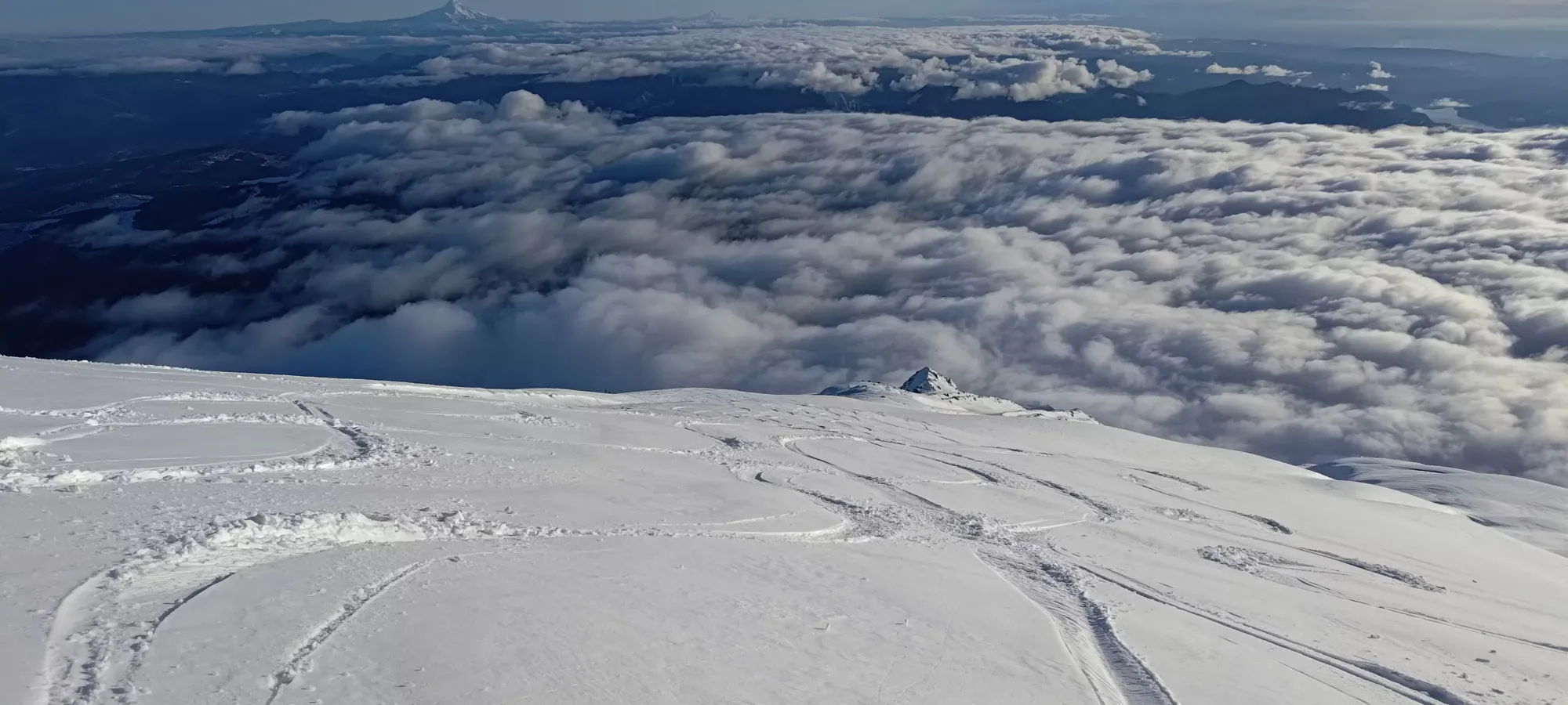
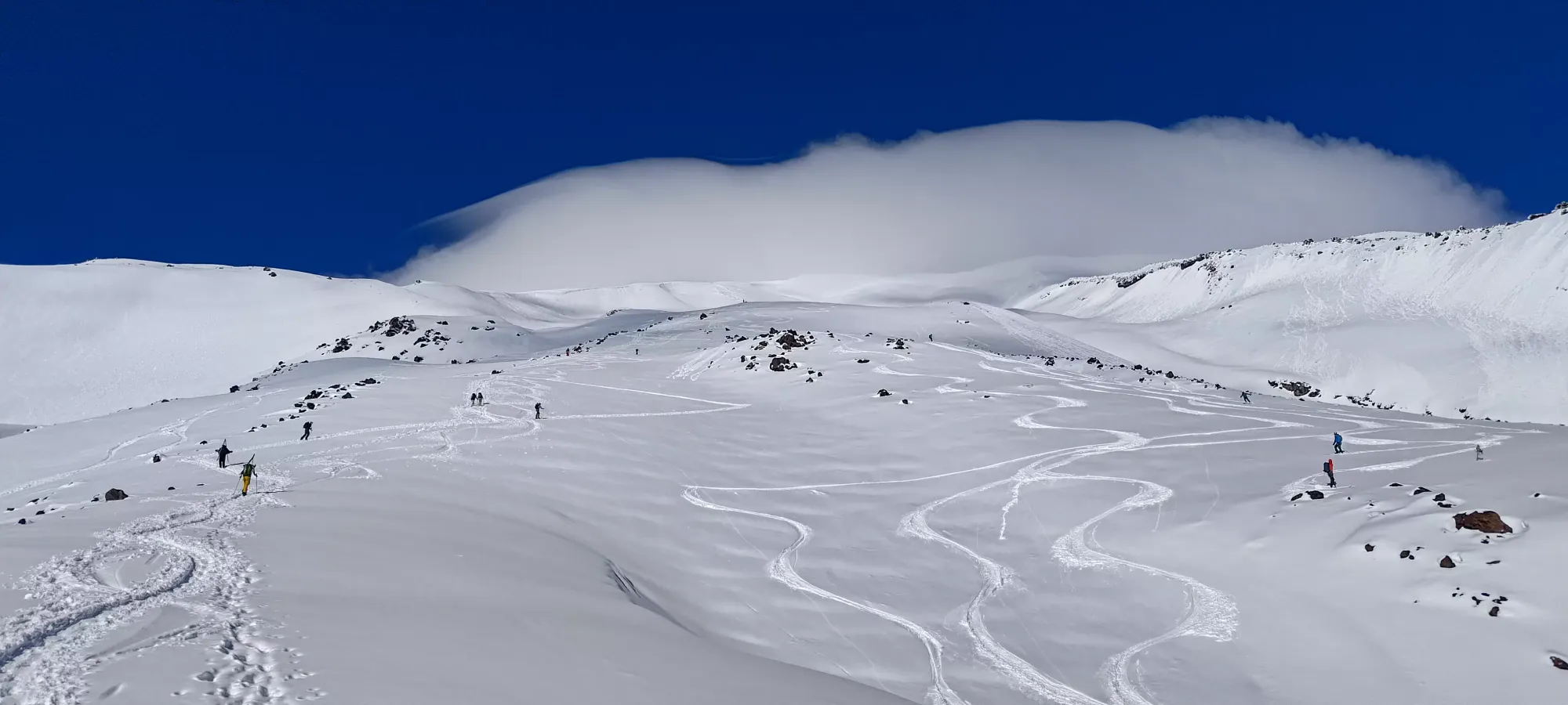
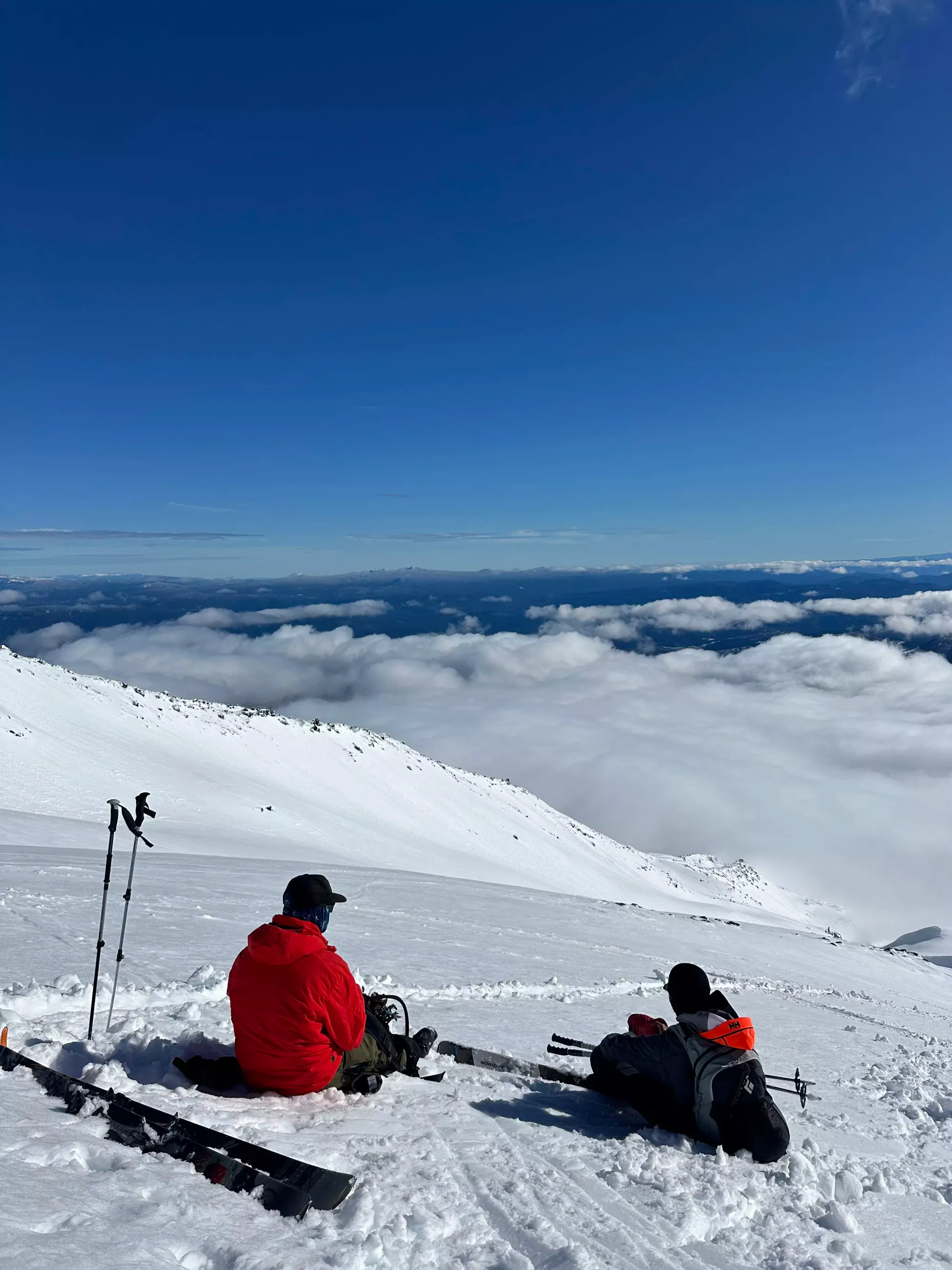
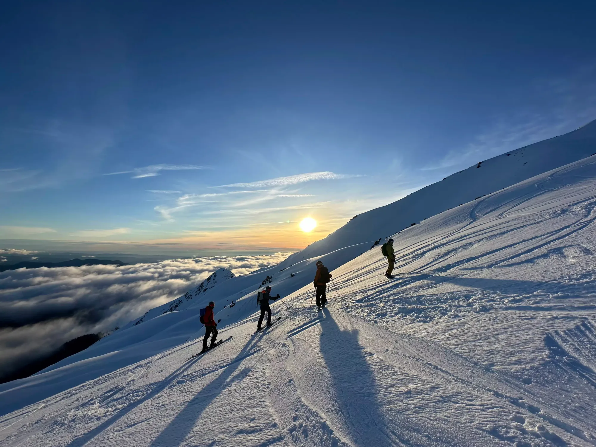
The snow was decent up top, though a bit crusty in some spots, and heavy from the warmth. I still had a good amount of fun though. After a couple dozen turns, I found my friends from the way up re-united with their bootpacking friends, chilling on a little flat spot just above 2300m. I joined up with them for the rest of the way down, since we had good chemistry, and skiing with people is always nicer than not, even if you can avoid avalanche terrain with good routefinding. After a nice 10-minute break, we got moving down as a big group of 5 at 4:40pm, with the goal of getting out before headlamps were necessary, as they didn't each have one, and I just generally was tired and wanted to get to Portland, fed, and into a bed.
The way down from that point took almost exactly an hour, with a good few breaks to rest, enjoy the view, pick our route, and get the whole group through the tighter sections. Once we got to the forest, though, I think the two skiers (other than me) in the group were especially motivated to not lose momentum in flat spots, or get stuck in the dark, so they just sent it from that point without a break, and we skied out directly to the car for the last 300m.
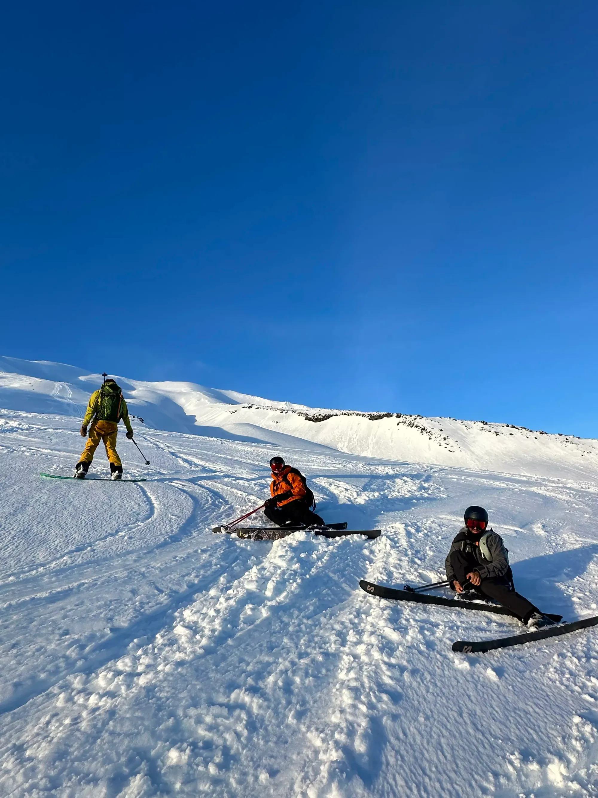
Some photos taken by Rachel (the lone splitboarder of the group, the other boarder just walked a resort board up) of me (and sometimes others in the gang)
The boarders followed us up in about 10 minutes (there are a couple flat spots they were less effective in than us skiers), and we hung out at the trailhead for a while before parting ways. It was super nice meeting friendly people to hang and ski with for the evening, so thanks for the company everyone!
As for the peak itself, it was a ton of fun, and a rare treat to be able to skin from the car right to the top, and ski right back down, no extra transition nonsense required. I definitely recommend this, and as a ski tour.
After all that, it was a fairly tame drive (under 2 hours!) to Portland, where I took a shower at my Airbnb, grabbed some dinner, and planned the next day's adventure...
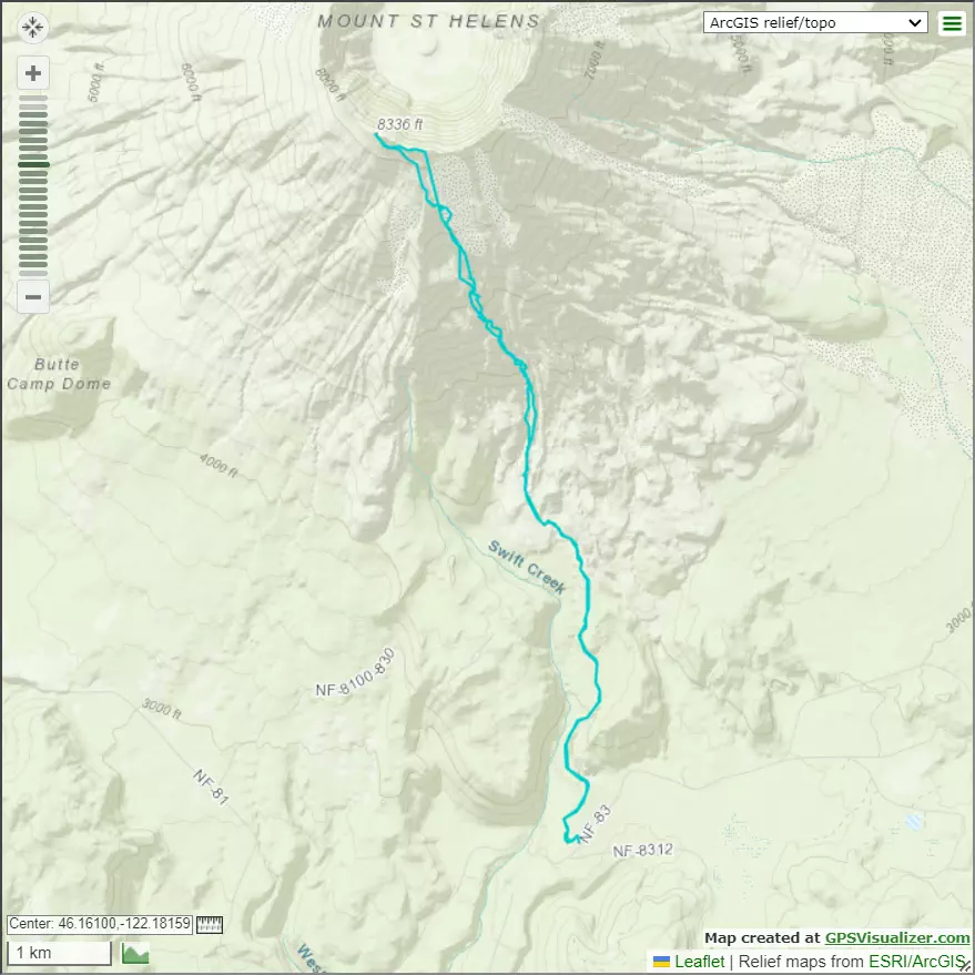
GPX Track + Map