Linus Peak - October 7 2023
A fun scramble in the group of peaks near Holly Lake

Cayoosh Range, Lillooet, British Columbia
2578m
Despite the previous weekend being full of snow and cold weather, the latter half of the week that followed was quite warm, and the weekend of the 7th seemed to be one of the last dry ones of the year, with most areas below 2500m melting out. Logan and I were talking about various options, and decided that getting more peaks along the Downton Creek FSR while it was still driveable would be advisable, so we threw together a plan to drive up to Holly Lake and "go bag whatever we could", with a slight priority for Statimcets Peak, being the highest one in the group, and one of the Gunn Scrambles.
We left Squamish at quarter to eight, made a pit stop at the Chevron at the north end of Whistler, and had a fairly uninterrupted drive up to Downton Creek FSR. We did get informed of a "dense fog" warning originally west of, then in Pemberton, which ended up being low clouds, but only just around the town, and were not an issue for us, as we got out of them as we got close to Lillooet Lake. Once at the FSR, we got past the medium-sized bumps and concrete blocks that gatekeep the initial, deactivated bridge, this time without a spotter, as I was confident after confirming I fit when we came here for Mount Seton. The rest of the main FSR was pretty cruisy, anything getting past the first bridge would have no issue. We did notice that there was a backhoe that we didn't see previously, and some tracked-vehicle tracks on a branch that looked like they were fresh, so maybe this area is going to be revived?? We continued well past that, though, all the way to the fork at 1450m where you take a spur to the trailhead (or the lake itself). This spur is in rougher shape, with more pinstriping (though not a crazy amount), larger cross-ditches, and a few rutted-out sections that might lift tires on a vehicle without much suspension travel. My Jeep Compass didn't struggle, though, and we got to the expansive parking area without trouble.


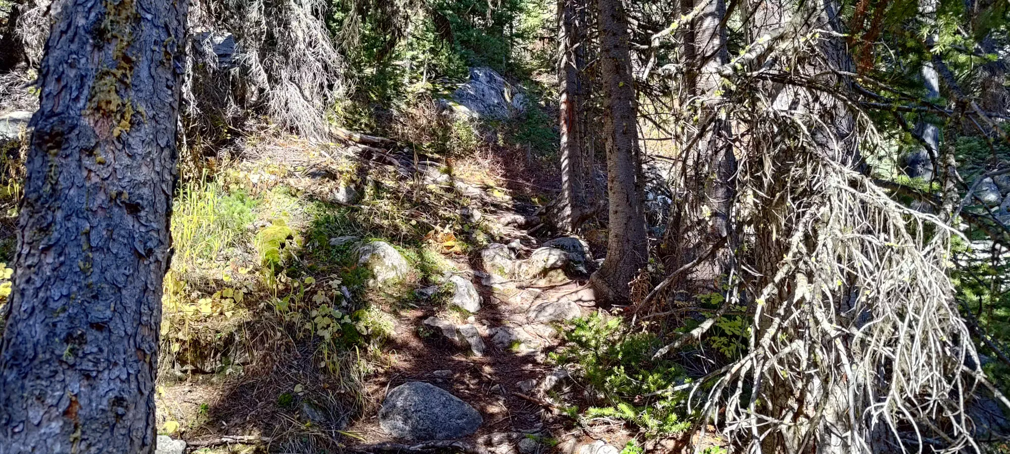
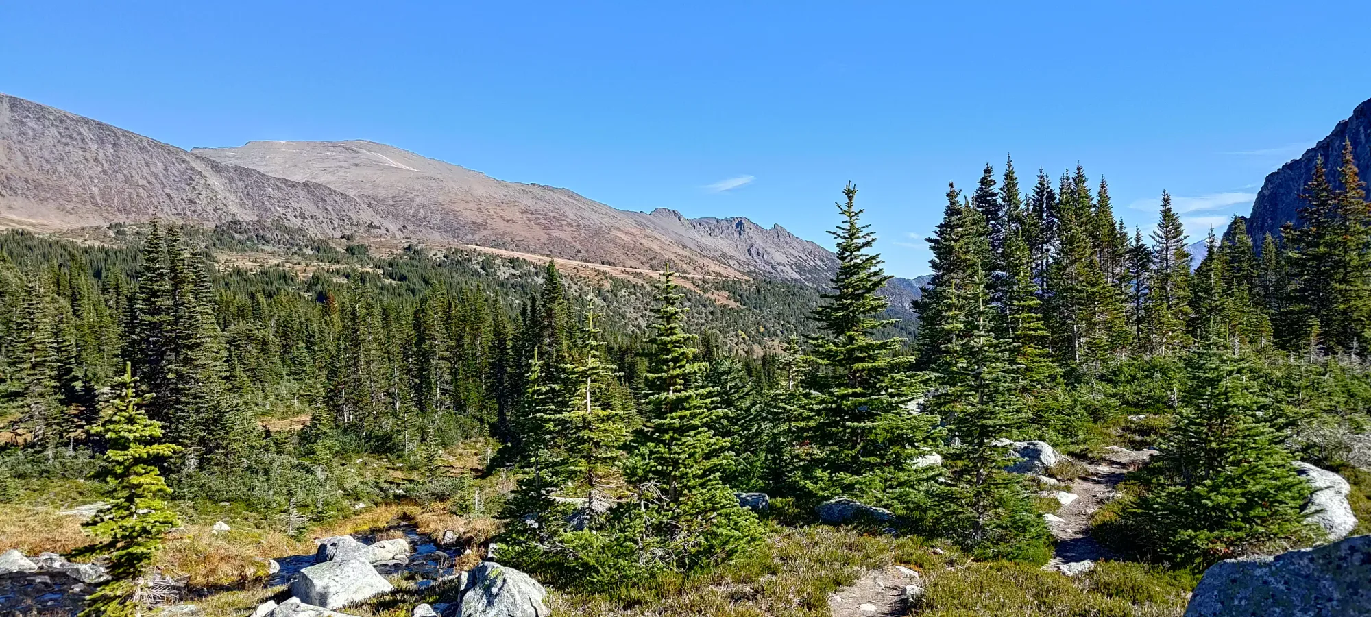
Once all was said and done, we got going at 10:55am. The trail here is in very good shape, a stark contrast to Mount Seton, even though they're both in the same area. I'd have hoped the Ultra would get more love/attention, but I guess the amount of people looking for pretty lakes and easy views exceeds the amount of people fascinated by summiting peaks which satisfy an arbitrary value of an arbitrary statistic 🙃. It started out a bit steep for the first 150-200m, but then mellowed out as it got out of the forest and into the treeline, a fantastically quick way to get into the prettier terrain. I can understand why people have kept this trail up.


After about 40 minutes of hiking, we found ourselves at Holly Lake, which was quite pretty, and there were definitely signs of camping activity, as we saw a few areas flattened for tents, and a lot of side-trails going to-from these areas to the lake, the main trail, and a few other random spots. We got off course for a couple minutes following one or two of these, mostly in an attempt to avoid the soft dirt/mud as we passed by the shores of the lake, but nothing serious.
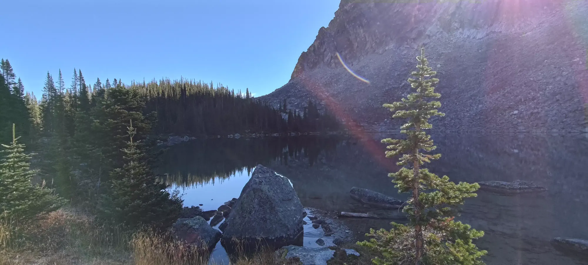
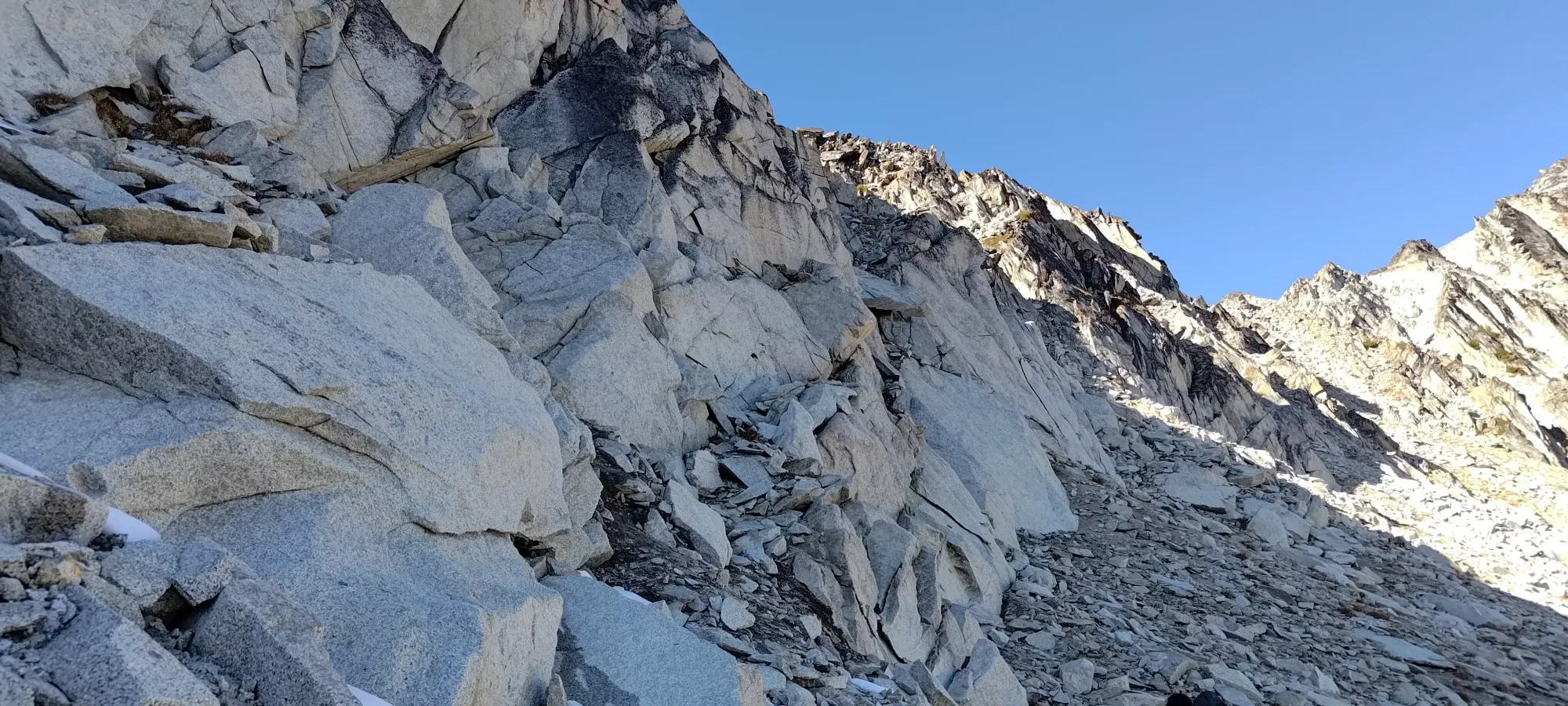
In another 20 minutes, we made our way above the "next lake", situated just below 2100m. Here, we saw a trail that continued up to the Schroeder-Contralto col, but we were heading further north, to the Schroeder-Linus col, so we instead traversed over a creek and some boulders, and started climbing the open alpine slopes up. Our maps indicated there was supposed to be a trail, but we saw, at best, occasional faint signs of travel, and largely were just ascending doable but "random" terrain.


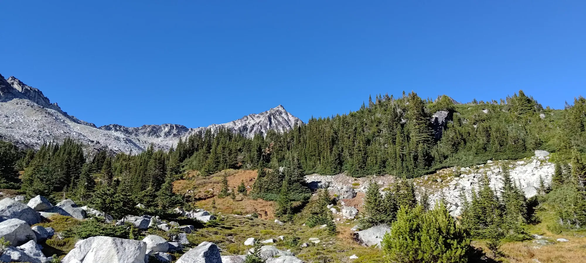
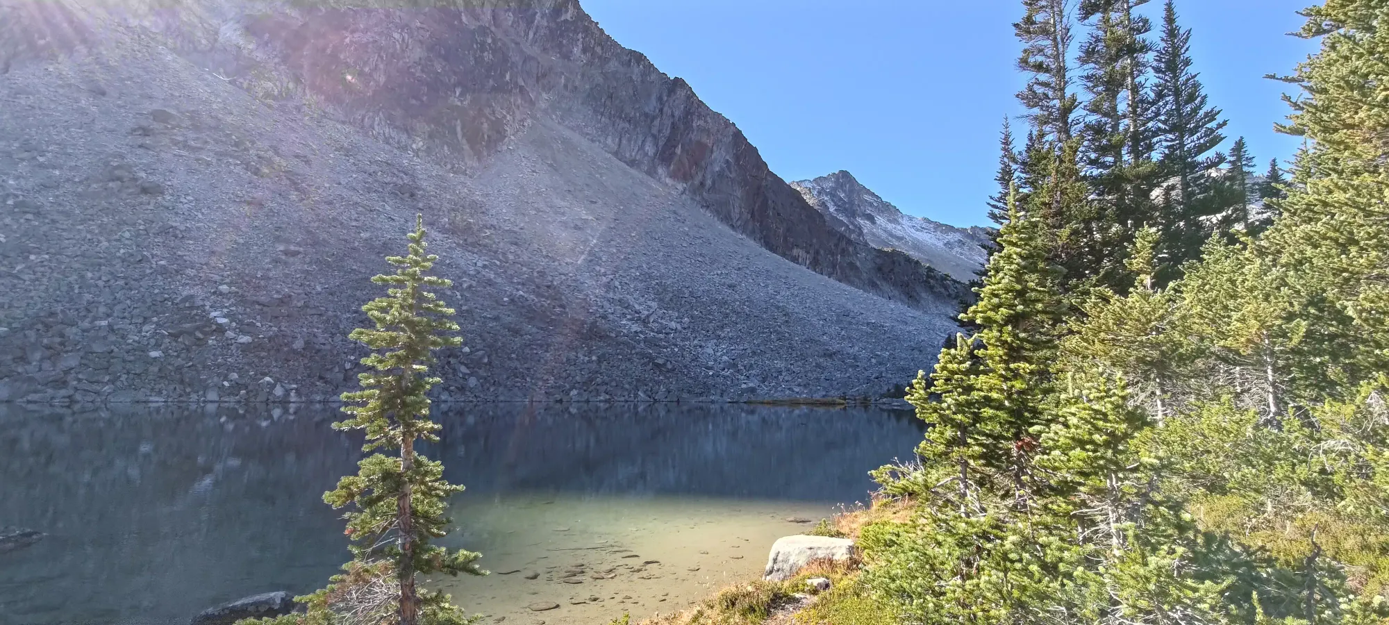
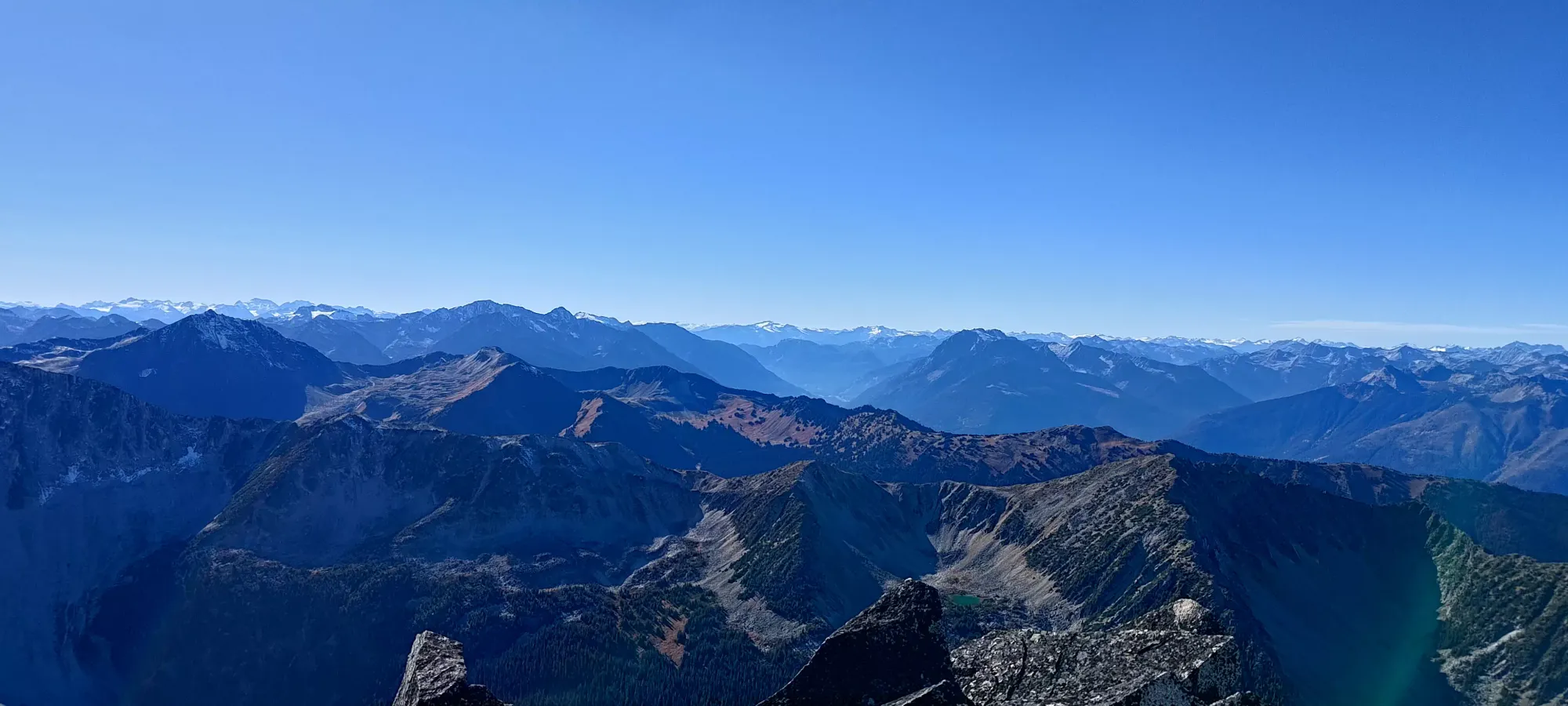
After a 15 minute stretch of walking up steep hills punctuated by boulders and a few trees, we got to another flat area below the main bowl formed by Schroeder, Linus, and Faulty Tower. Here, we could see our ascent would (unfortunately) take us through a boulder field, though we found a path staying climber's right aiming towards a bench closer to Faulty Tower that would be both less steep and less rocky, and we could figure out the best way from that point. Views continued to be excellent, as was the weather.

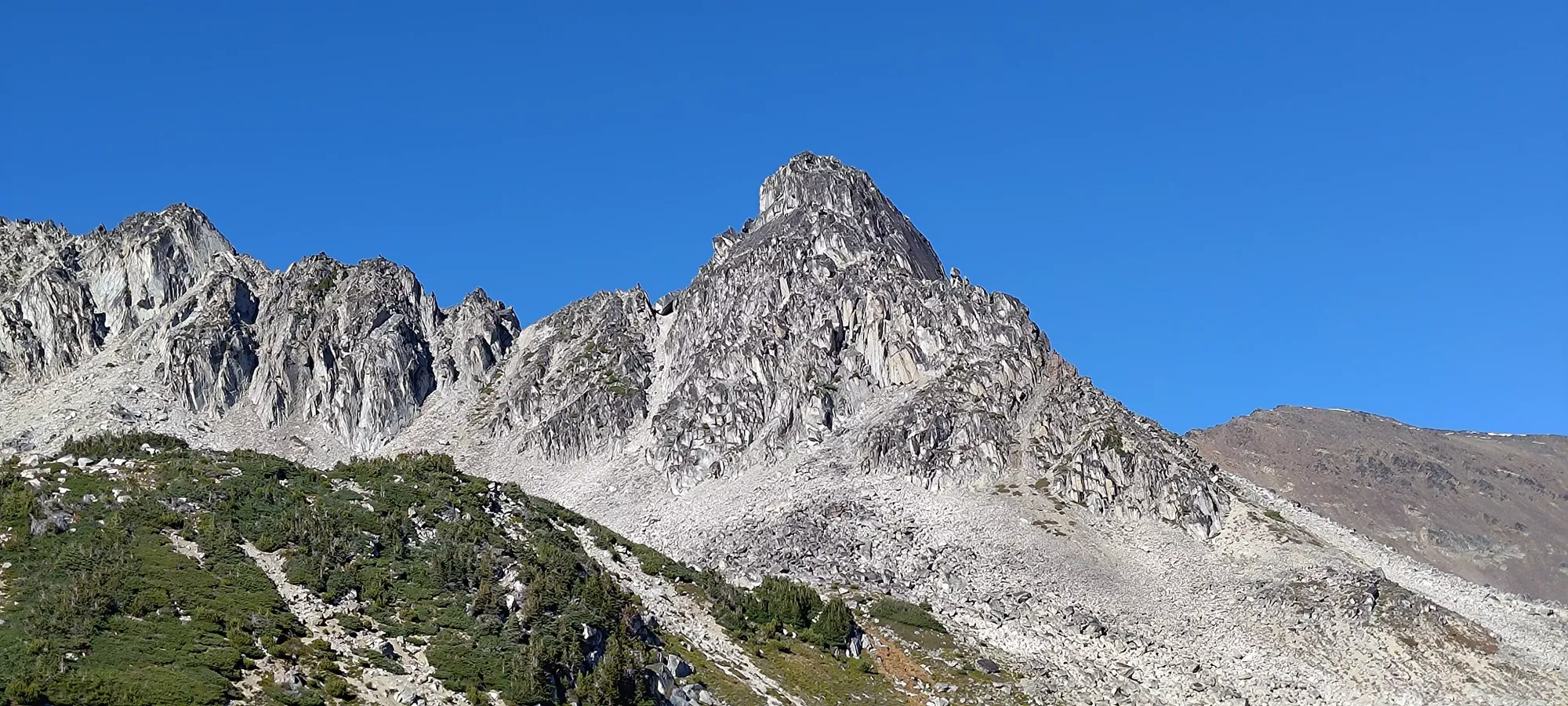


Once we got on top of that forested bench, we traversed a bit higher to climber's left to get on top of a steep ridge which would hopefully offer the payoff of flatter, easier boulders for the cost of a couple minutes of steep scrambling, which paid off well. From there, we walked along the line between sun and shade until we started feeling a little bit of wind, and realised it would be a good time to have some food while we weren't on the ridge, so we took a good break at 2300m to do so. We definitely were taking it pretty easy, not pushing too fast or hard on this particular day. The environment was just so pleasant, we seemingly just both silently agreed to chill out and enjoy ourselves rather than just grind and sweat like crazy.


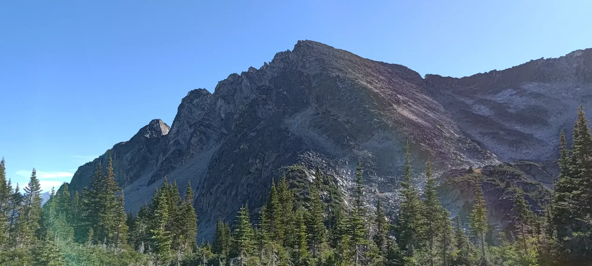
At about 1:15pm, we got ourselves just below the col, and I decided to continue the "let's just have fun" mentality by pointing out that topping the ridge out the "proper way" was a boring walk up some loose rocks, but to climber's right, we could get closer to the peak, and do so on some fun-looking scrambling. Logan agreed with my assessment, so we deviated off to some blocky rocks to go adventuring. The ensuing 20 minutes got us to gain maybe 10-20m, but we encountered some fun crack climbing, a couple overhangs, and a good amount of fun as we found a bunch of routes that worked, almost worked, would've gone with rock shoes, and "just didn't". It was not time-efficient, but we were happy just dicking around while we still had scramble-friendly weather.

We did some basic moves up to the cracks seen above, which Logan's brand-new shoes were able to support him in getting up, though I was not so fortunate, as it seems the shoes I bought at the beginning of summer are ALREADY wearing out 🙃. I instead traversed more to climber's left, and found an overhanging, blocky route to check out.

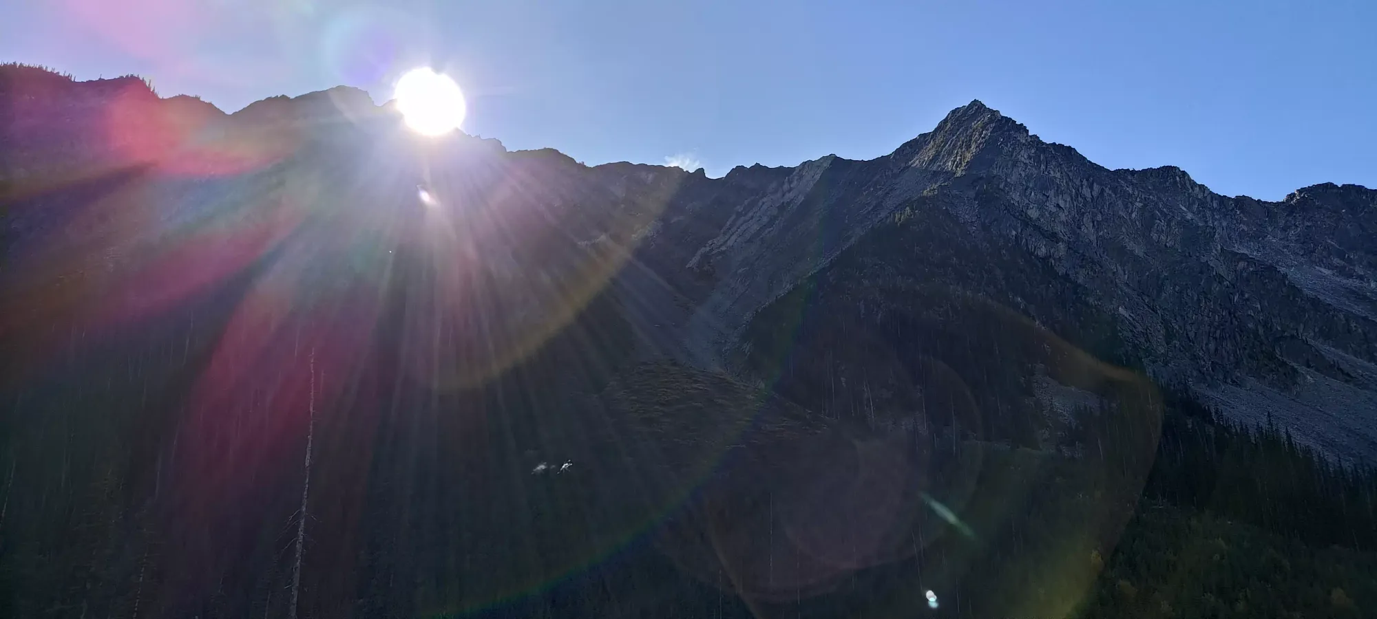
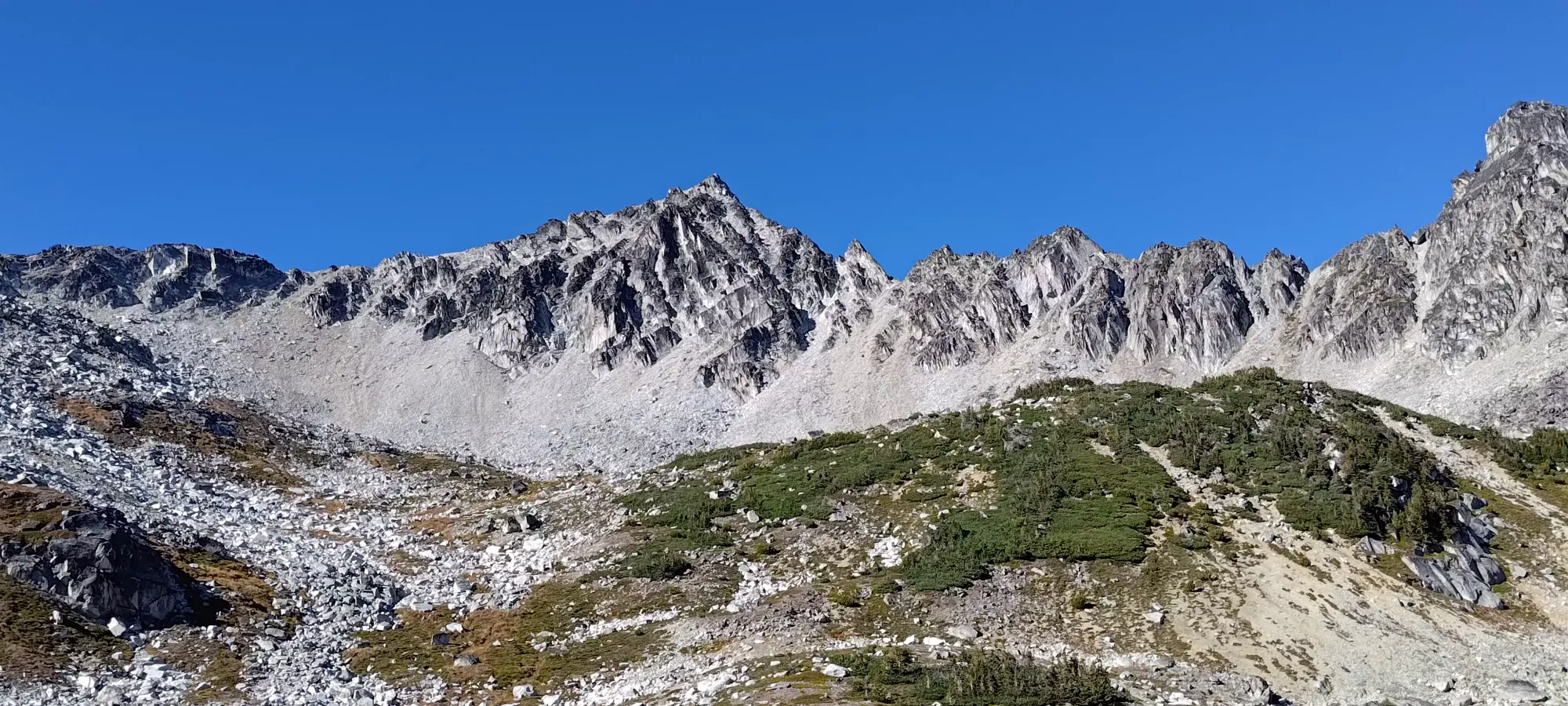
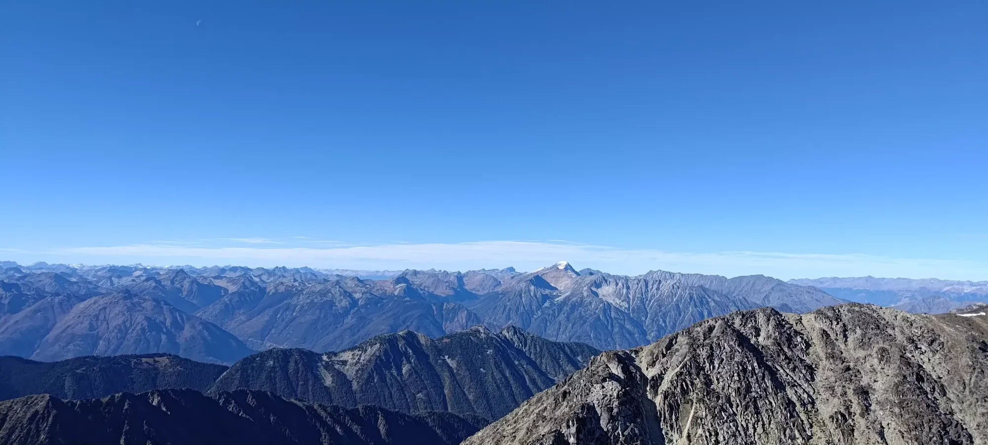
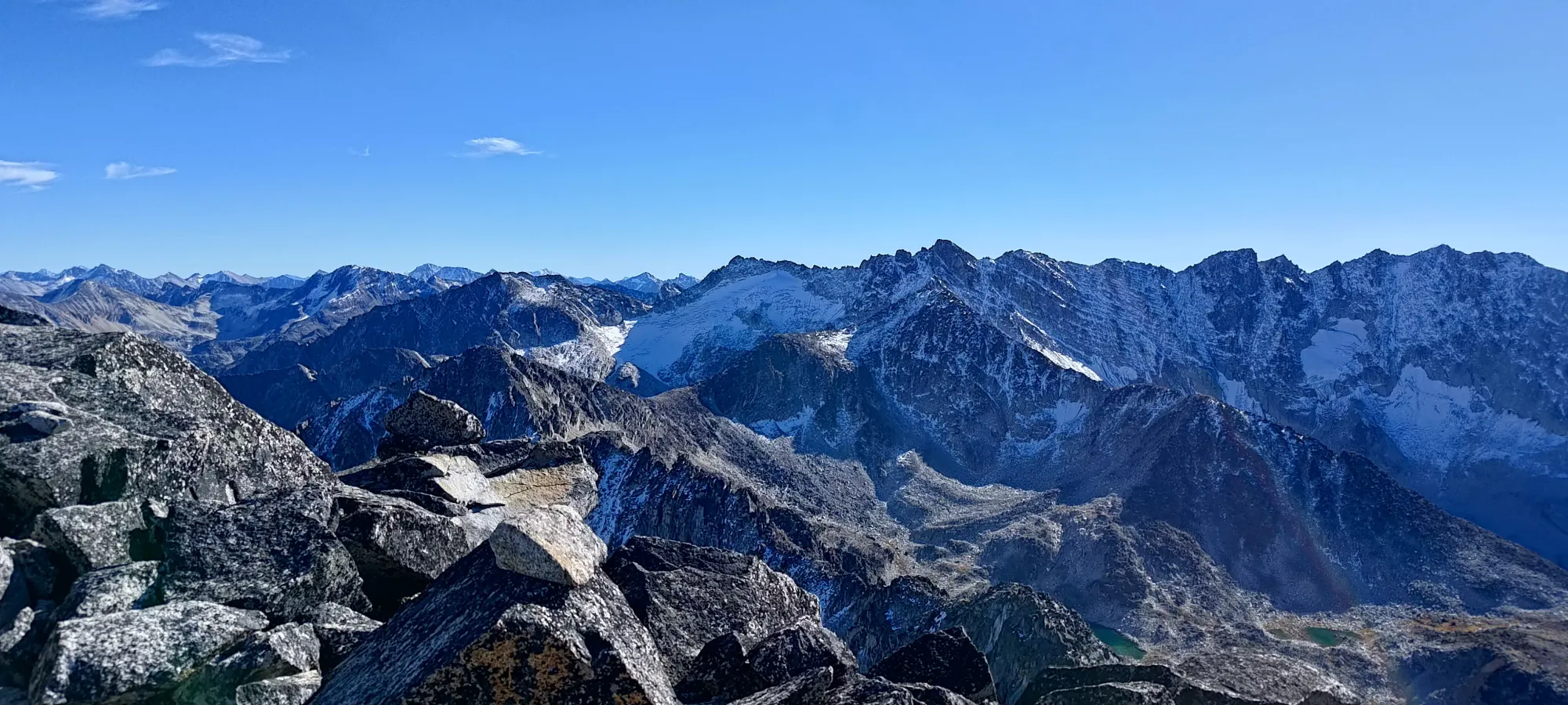
I got most of the way up this route, but the last move to top it out required me to fully expose myself and yank on a rock that did not appear to be very stable, so I had to retreat and take a simpler class 3 way all the way to the top. It was still pretty fun, so I'm happy with our little side-quest. Once on the ridge, we were treated to some very nice views of the surrounding mountains.

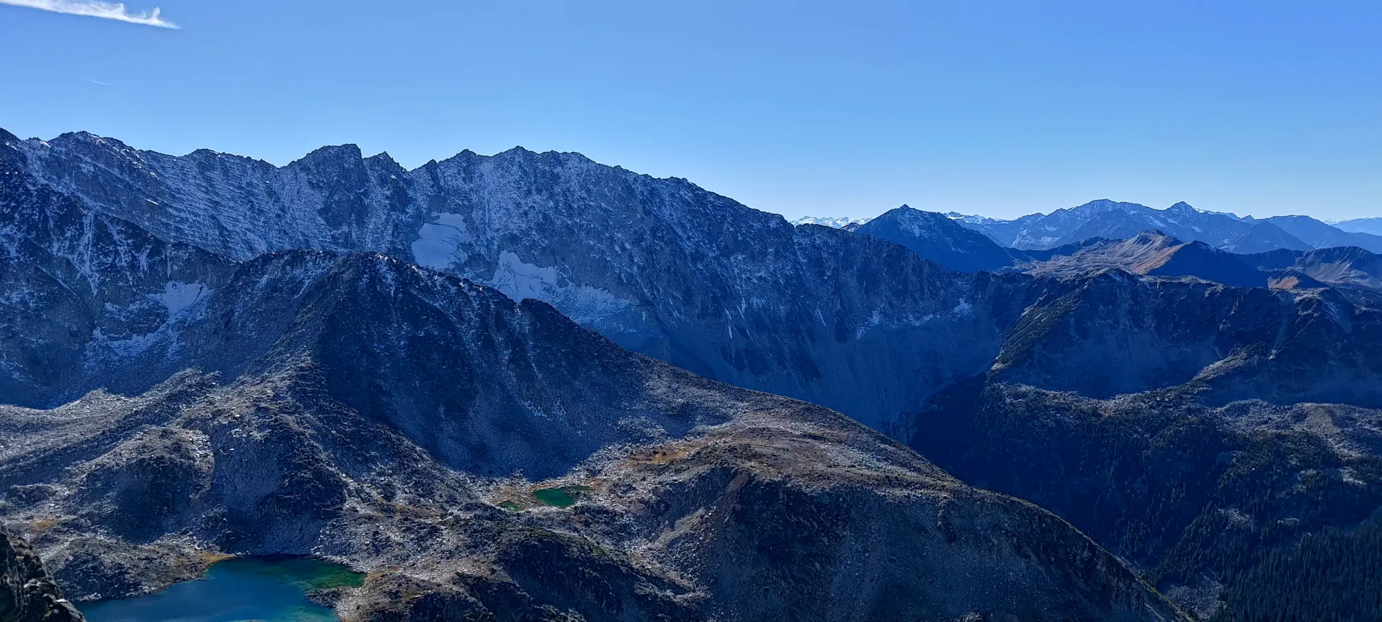
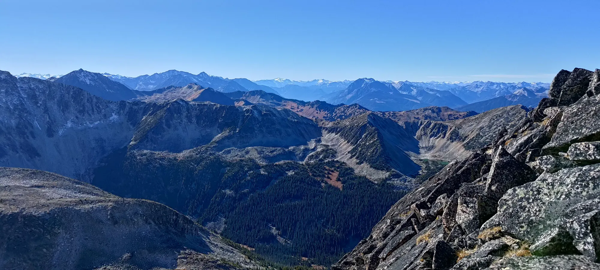
From that point, it was a surprising half-hour traverse over to the summit of Linus. The ridge wasn't particularly difficult, but it was comprised of a bunch of large, broken blocks, necessitating a bunch of class 2 scrambling to get to the top. In the winter, this might actually be faster due to the whole thing being snow, but in the summer, you spend a lot of time just dipping up, down, and around various rocks as you meander over to the top. Once you do, you're rewarded with more gorgeous views, at least.
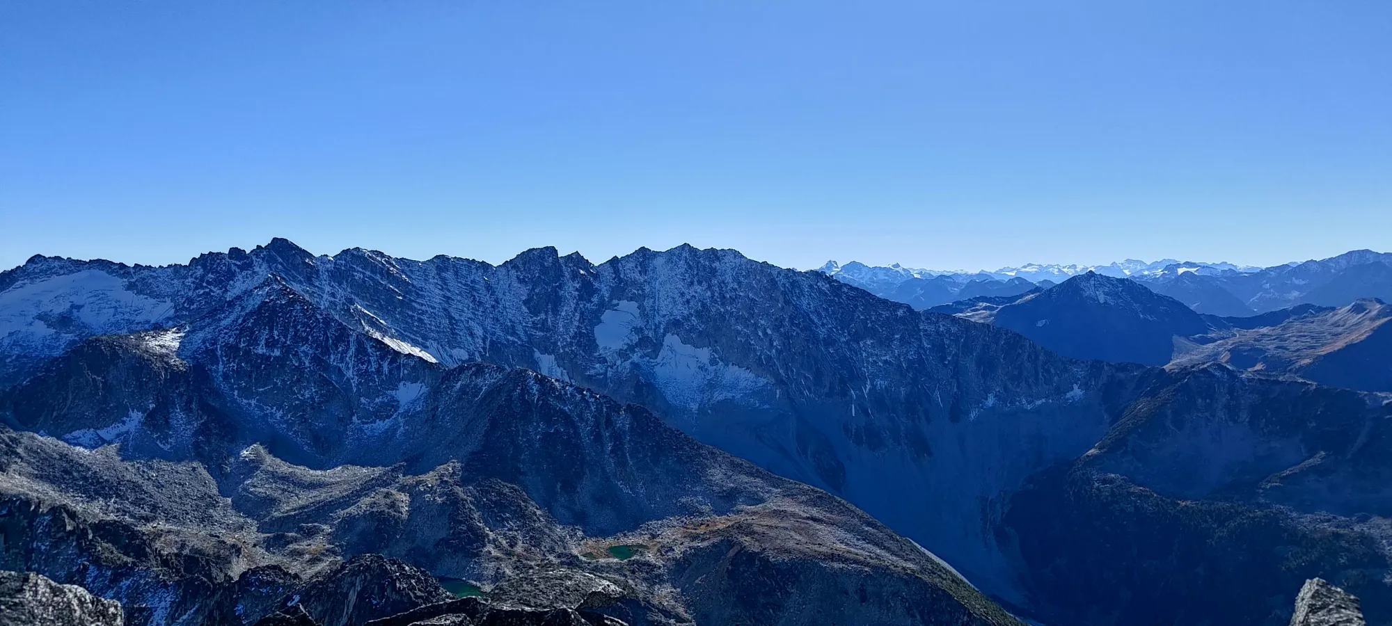
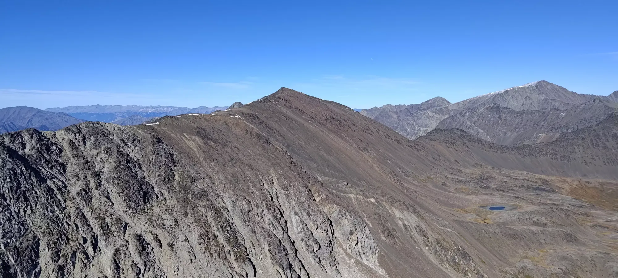
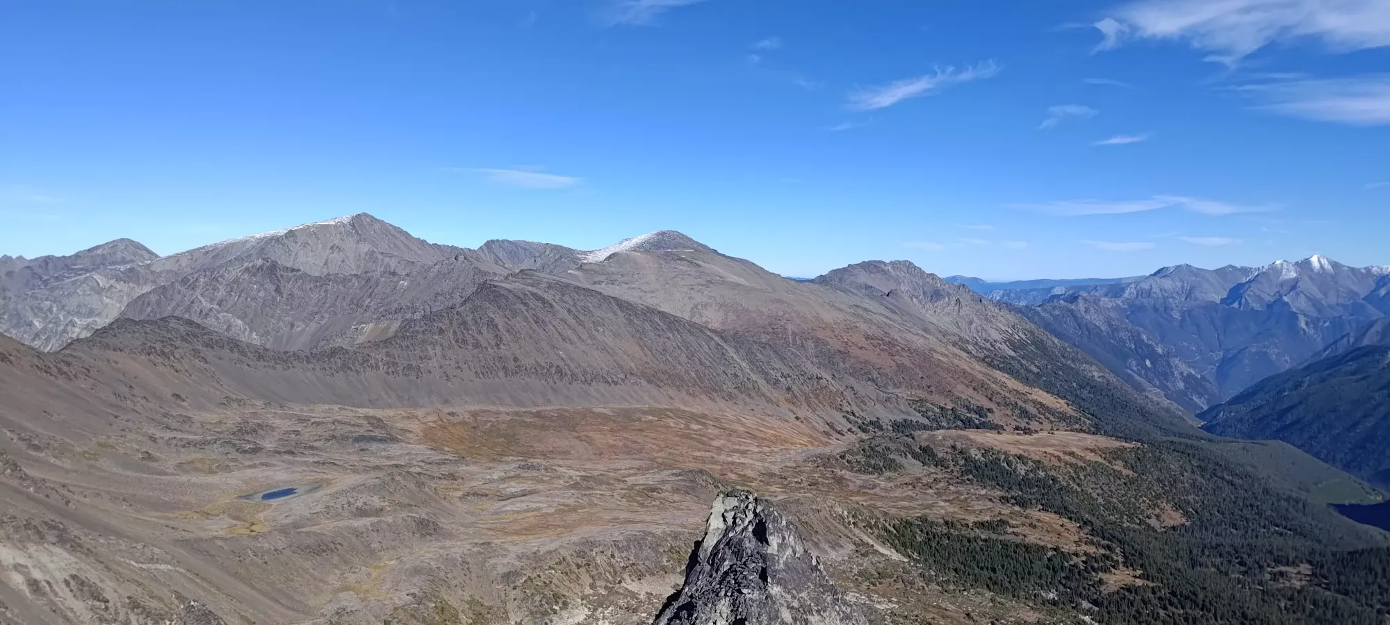


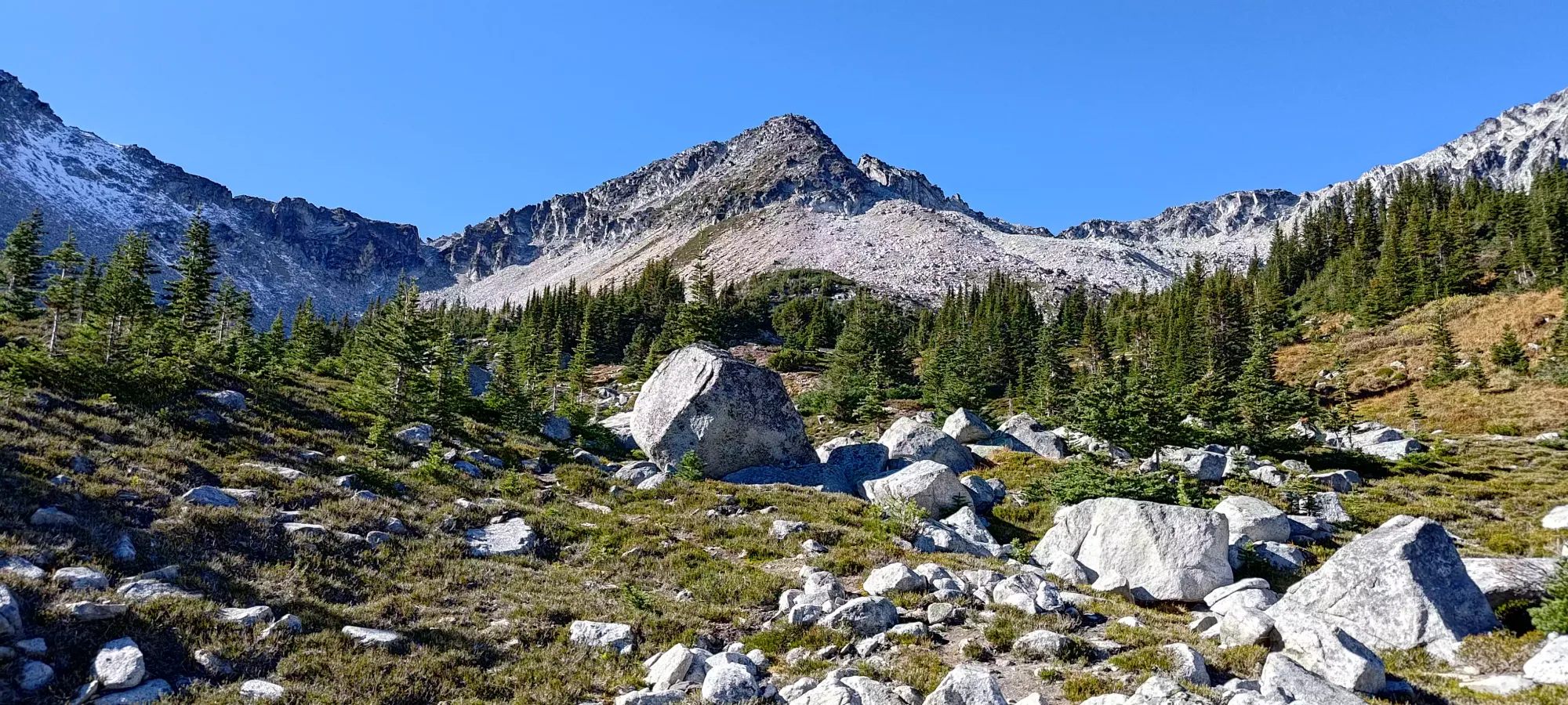
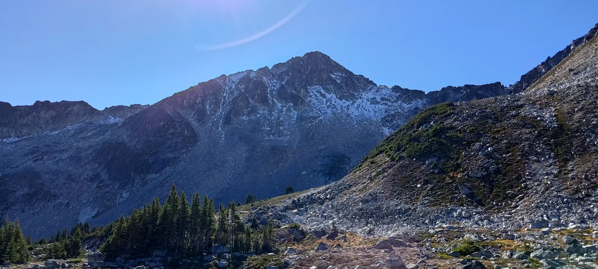
After we soaked the views in, we noted the fact that it was almost 2:30, and had a decision to make. We probably didn't have time for both Statimcets and more peaks, as the ridge was surprisingly time-consuming to traverse, and was looking similar further ahead. As such, we had to decide between getting Statimcets and probably calling it a day at that point, or foregoing it for the other, smaller peaks behind. While I still want to get my 100 peaks this year, I know Logan doesn't have the same goal, and I could fill my roster with more "efficient trips" if necessary. Statimcets is a Gunn scramble, and higher than the rest, not to mention it is more "out-of-the-way" than the rest, which could be looped without repeating Linus or Statimcets (Faulty Tower notwithstanding), so going for Statimcets made the most sense. With those mental gymnastics settled, we set off on our way to Statmicets Peak.
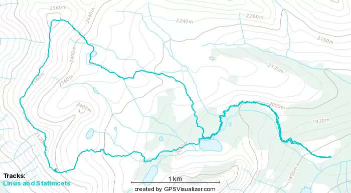
GPX Track + Map