Statimcets Peak - October 7 2023
A semi-prominent peak in a beautiful area, though with rapidly-dwindling accessibility

Cayoosh Range, Lillooet, British Columbia
2631m
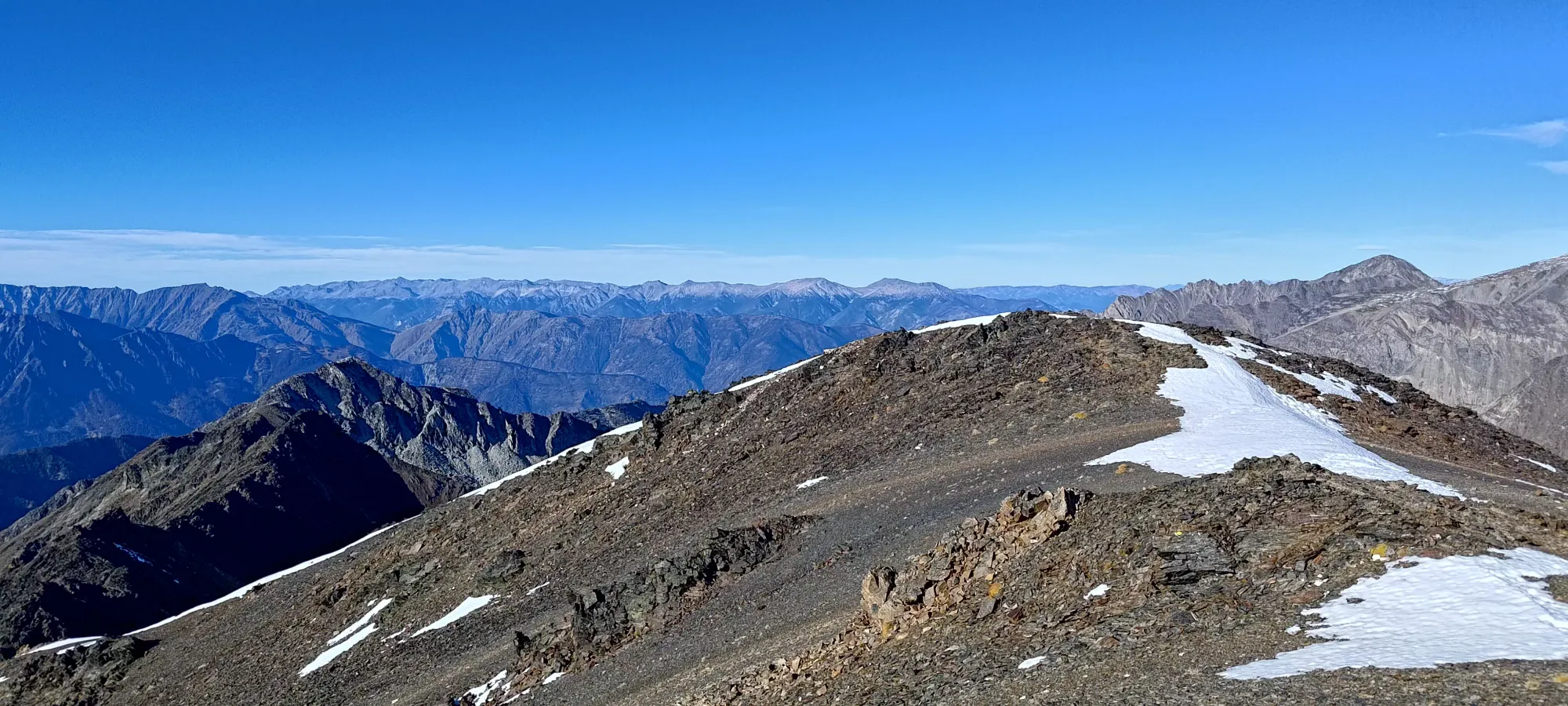
This trip report picks up from that of Linus Peak, as it is generally accessed by traversing the ridge between the two. At about 2:30pm we set out, and immediately, we were back into the same terrain as before, lots of broken, blocky rock. Like before, the scrambling wasn't difficult, just class 2, but time-consuming, as clambering around these rocks simply takes time. The first bit of this was getting down to the low-point of the Linus-Statimcets col, dropping to about 2480m, which took about 20 minutes.
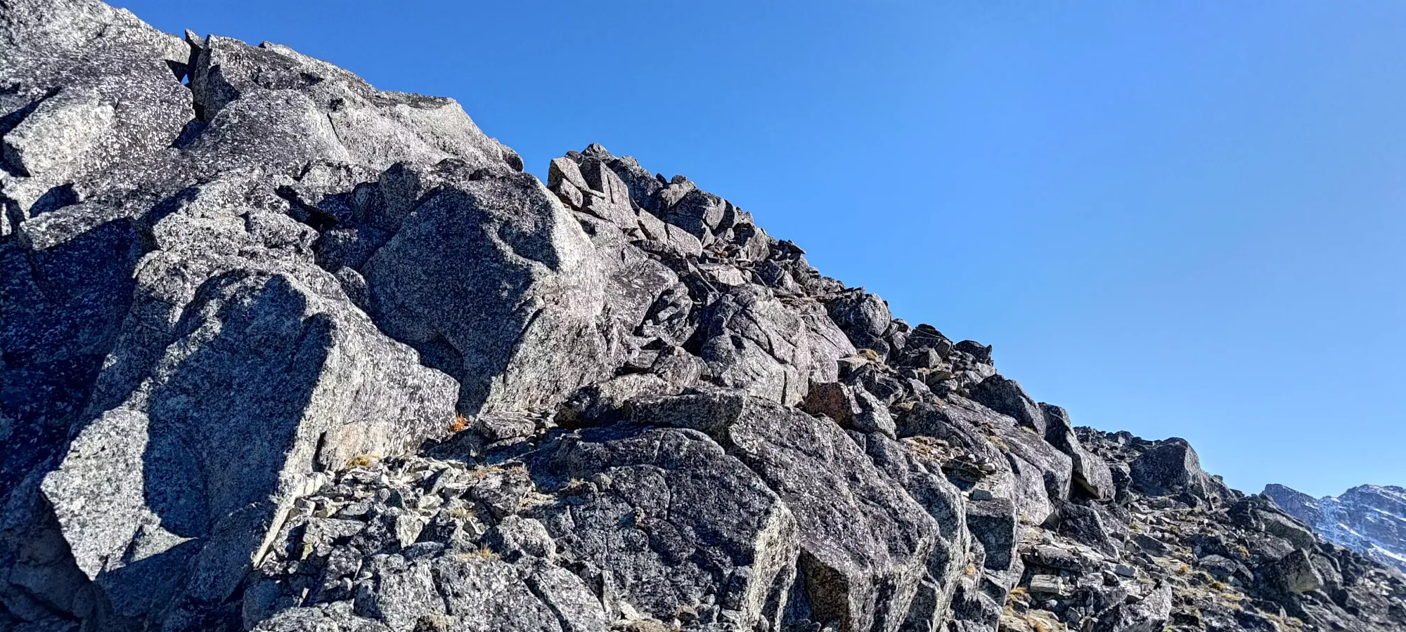
Once we hit the low-point, we started to clue in to a repeating pattern: staying lower and left was faster than staying on the ridge. It took us a few tries to really commit to the idea, but once we did, travel got a lot faster, and we manage to get from the low-point to the end of the most broken-up section of rocks in about 15 minutes, which was around 2550m in elevation.
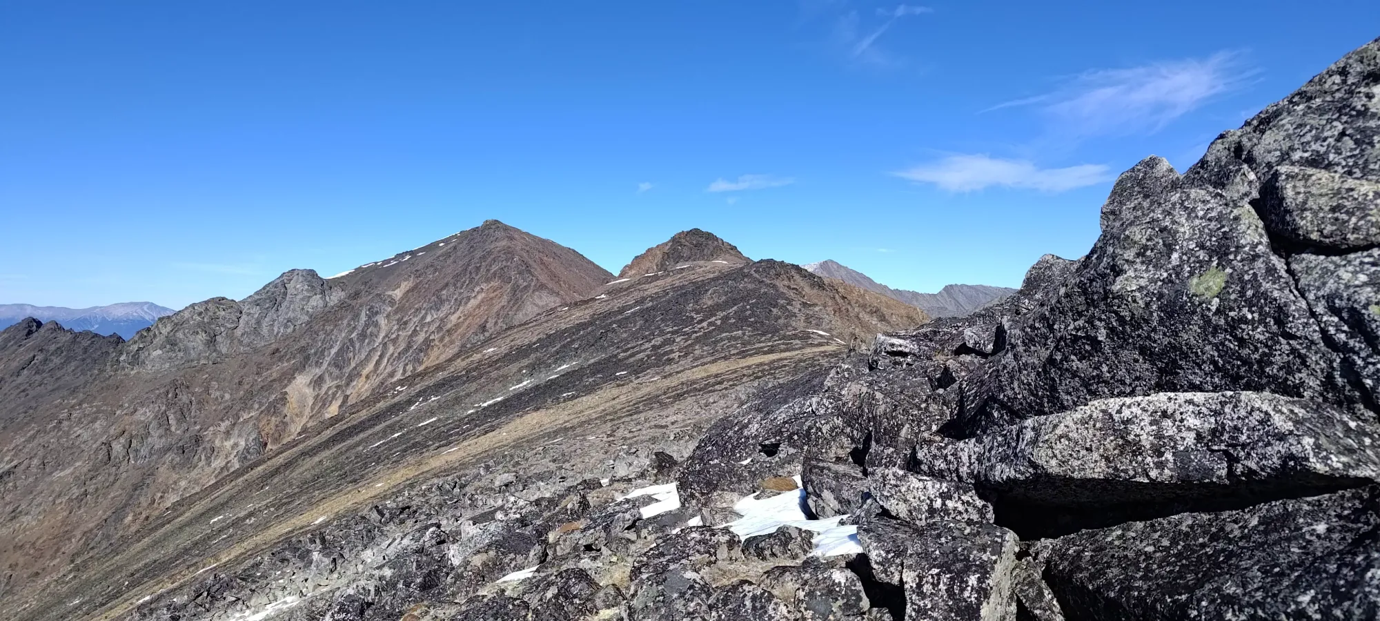
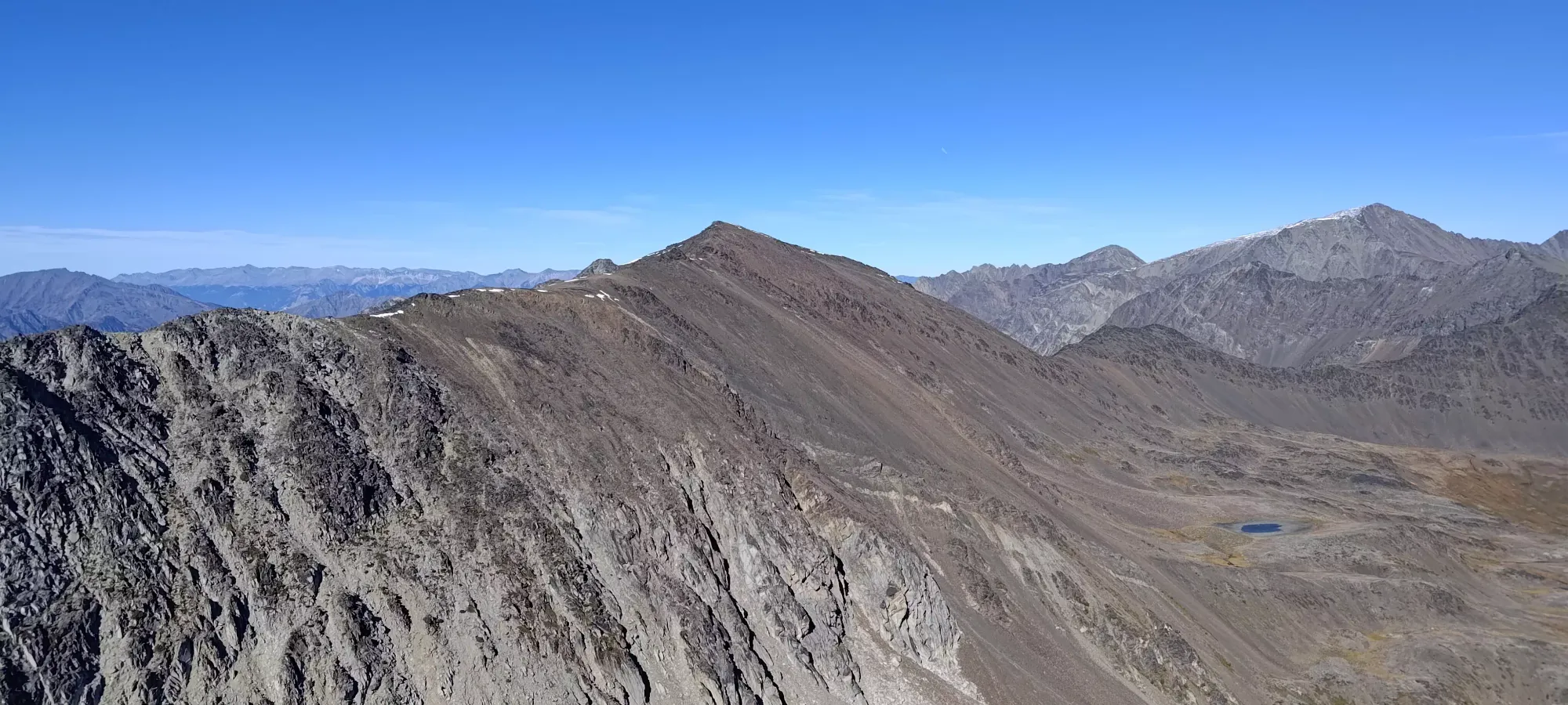
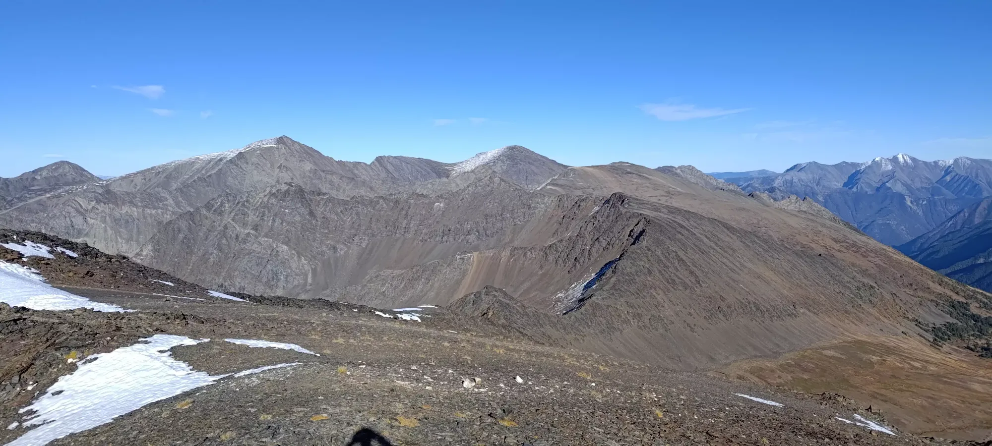
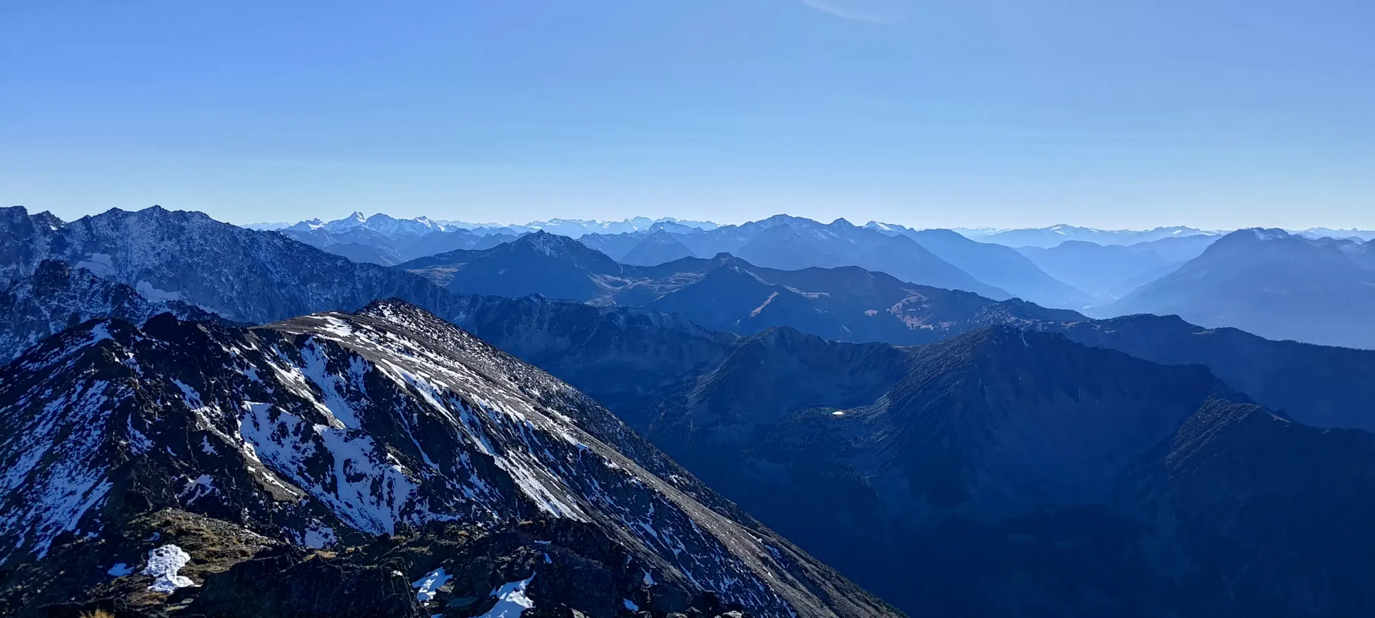
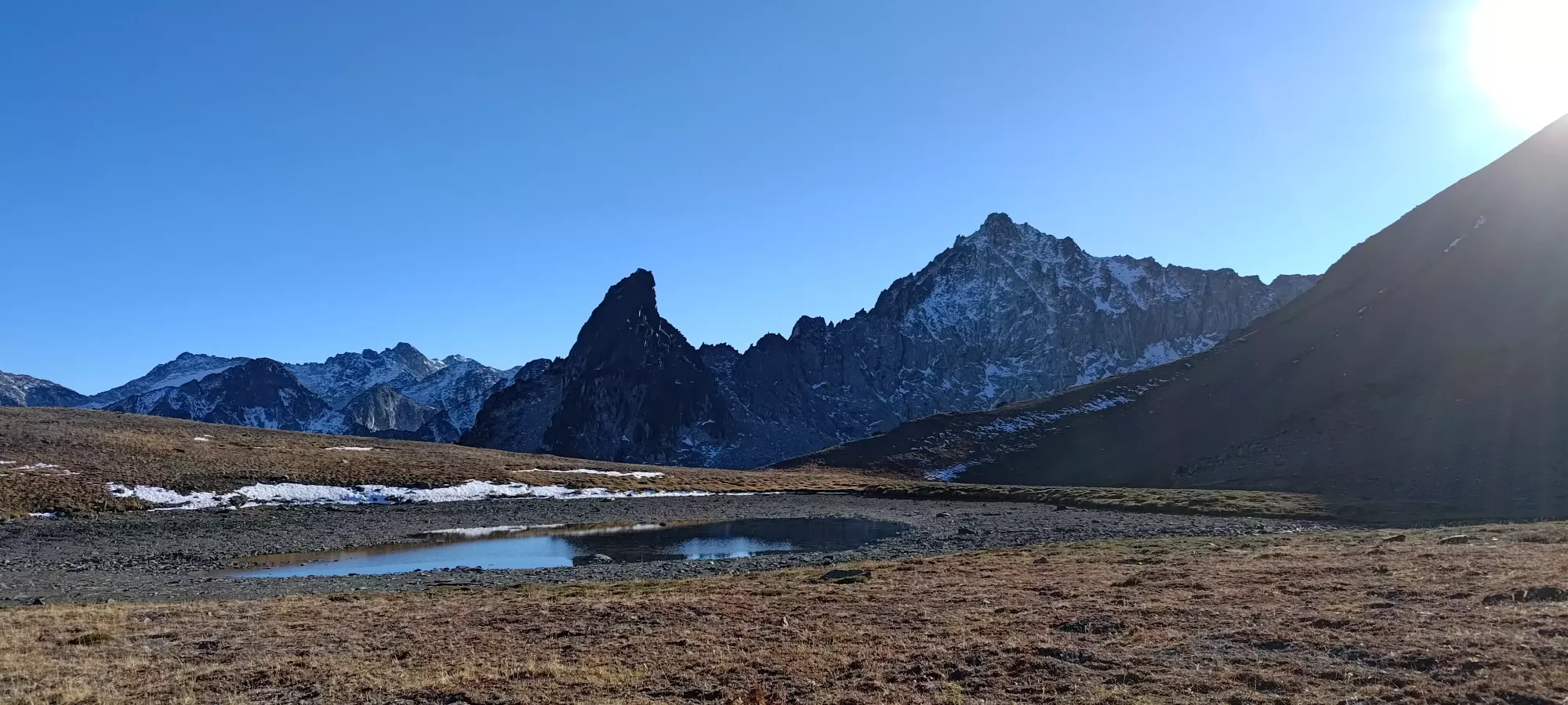
The next 10 minutes brought us to the next false summit with ease, gaining up to 2575m while doing so. Here, we started discussing our descent path, as we had good views of the whole area at this point, and noticed that the east face of Statimcets seemed to mostly be scree/small talus, and would connect us into rather mellow meadows, which seemed a lot more efficient than redoing the tedious ridge scramble and descending the boulders in the bowl below Linus. We began to note various sections as we walked along that "went" and didn't cliff out before mellowing out into the meadows.
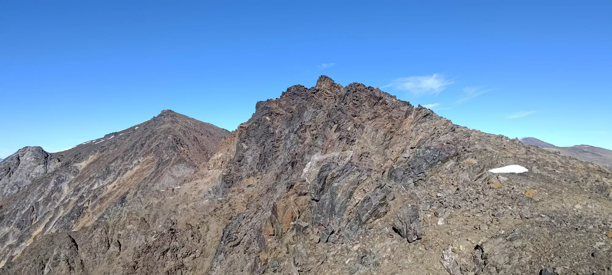
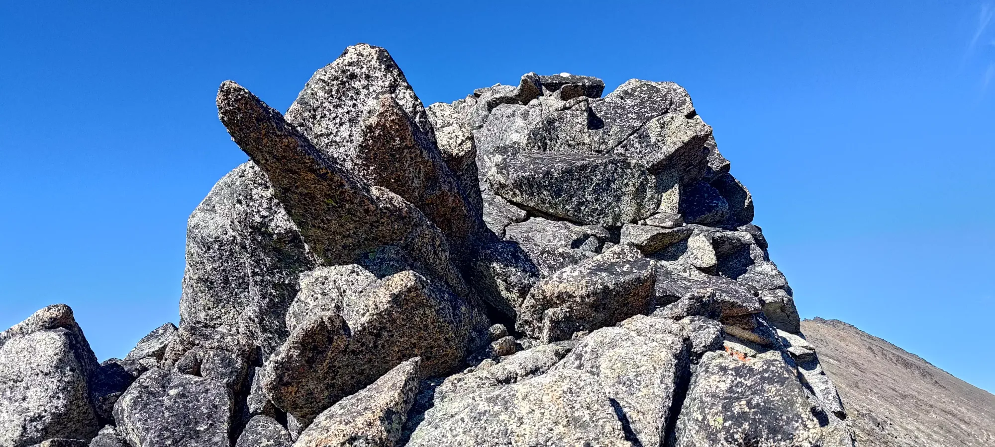
From that point, we had to drop down a couple metres, and then go back over the next false summit, seen above. The rock was more jagged here, but only required a few scrambling moves. Most of the travel was just sidehilling, with a few steps being in snow for the first time all day, though the snow was actually quite supportive, so we were happy for it on the steeper sections of sidehilling. 15 more minutes got us over this last false summit and at the base of the summit climb, where we took one last short break before pushing for the top.
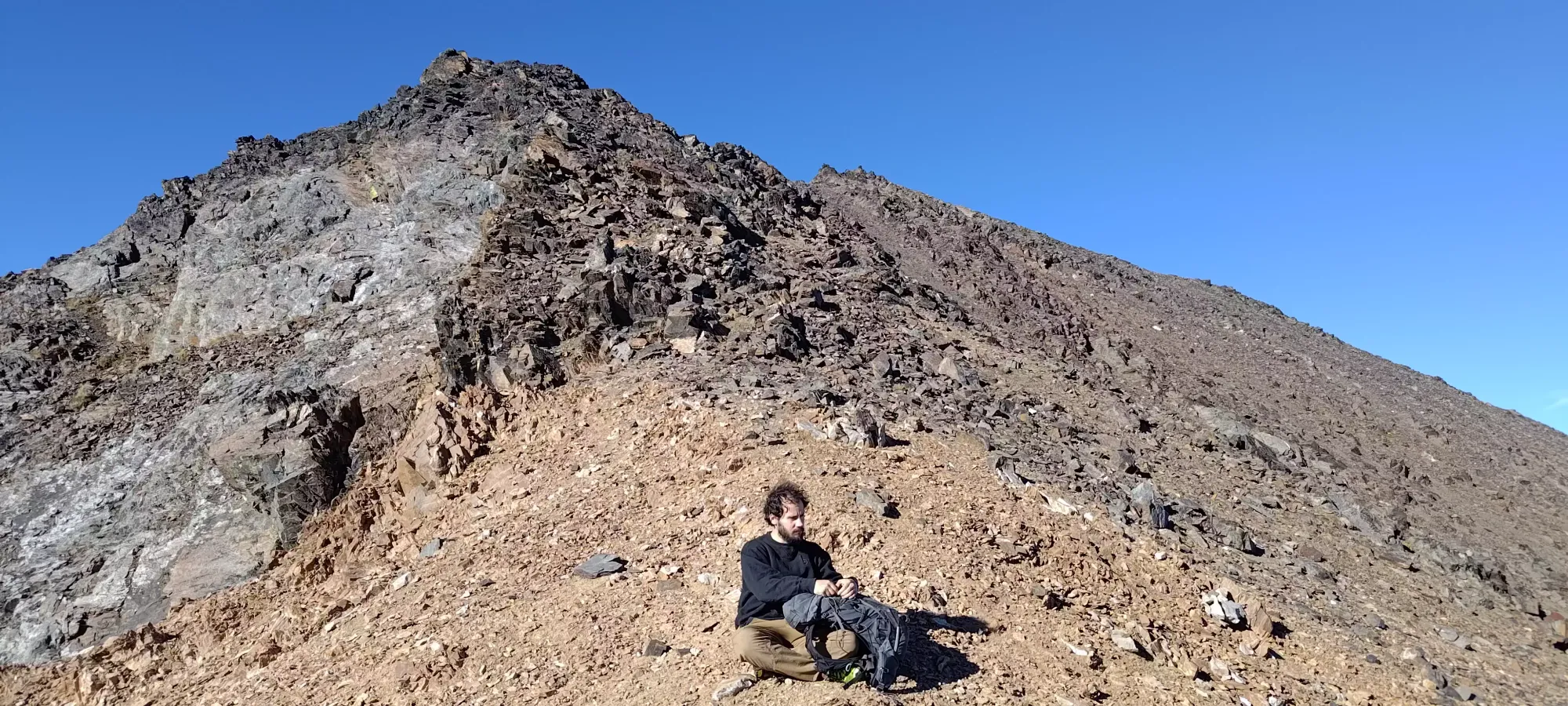
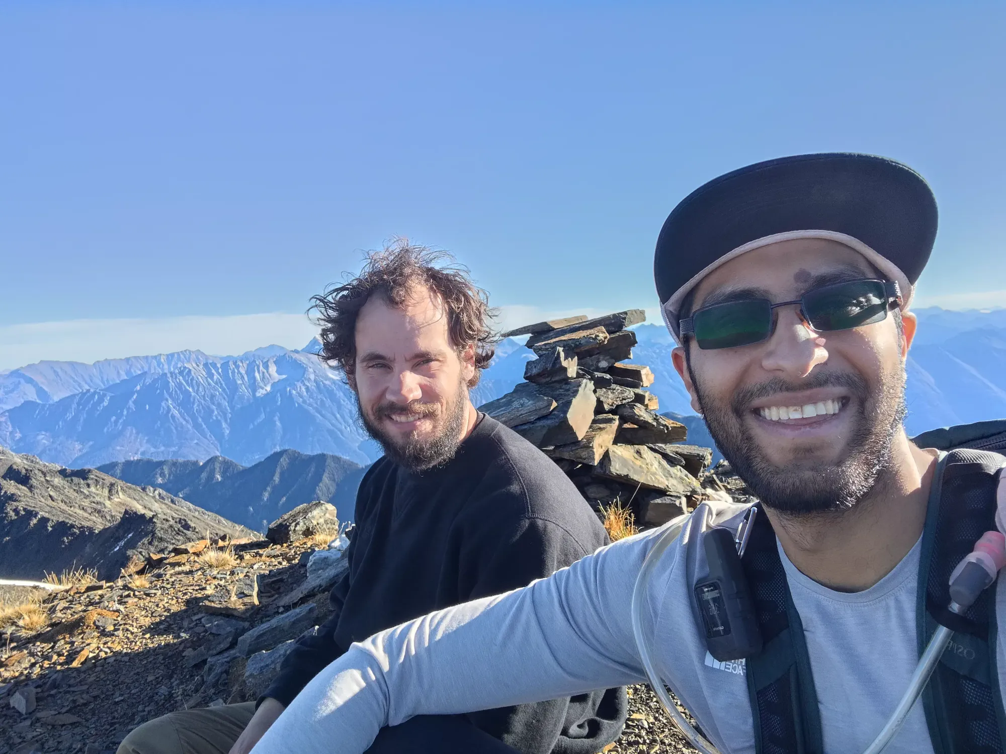
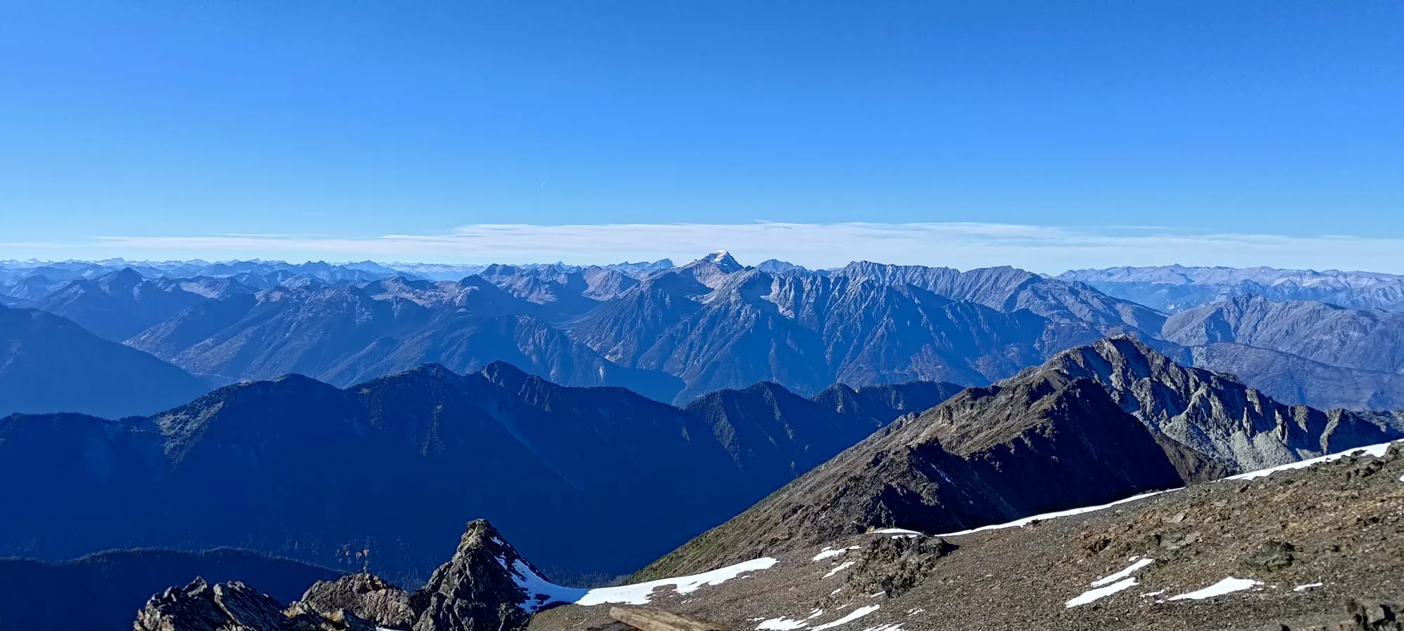
The final push took about 20 minutes, again mostly walking with a couple hand-supported moves here and there, and brought us from 2550m (again) to the top. The top was pretty nice, so we spent about 10 minutes hanging out, but since we already ate below the ridge, we didn't have much to do, so we started heading down once we were sufficiently relaxed.
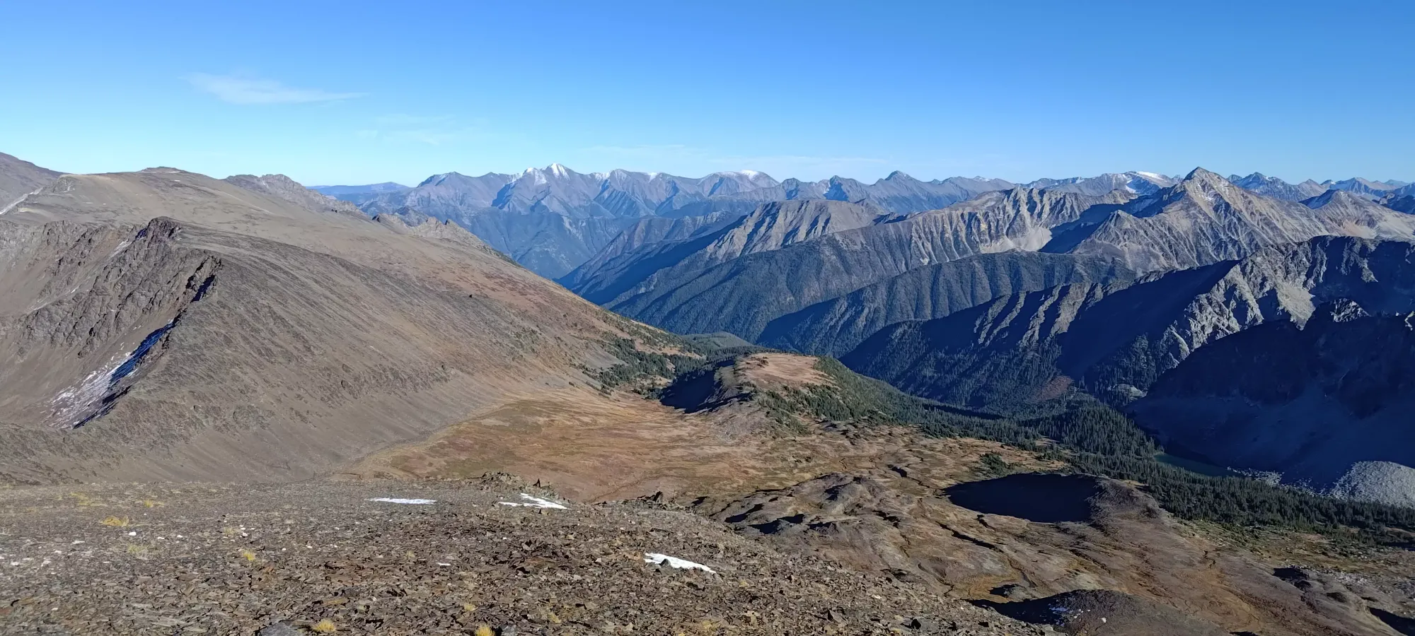

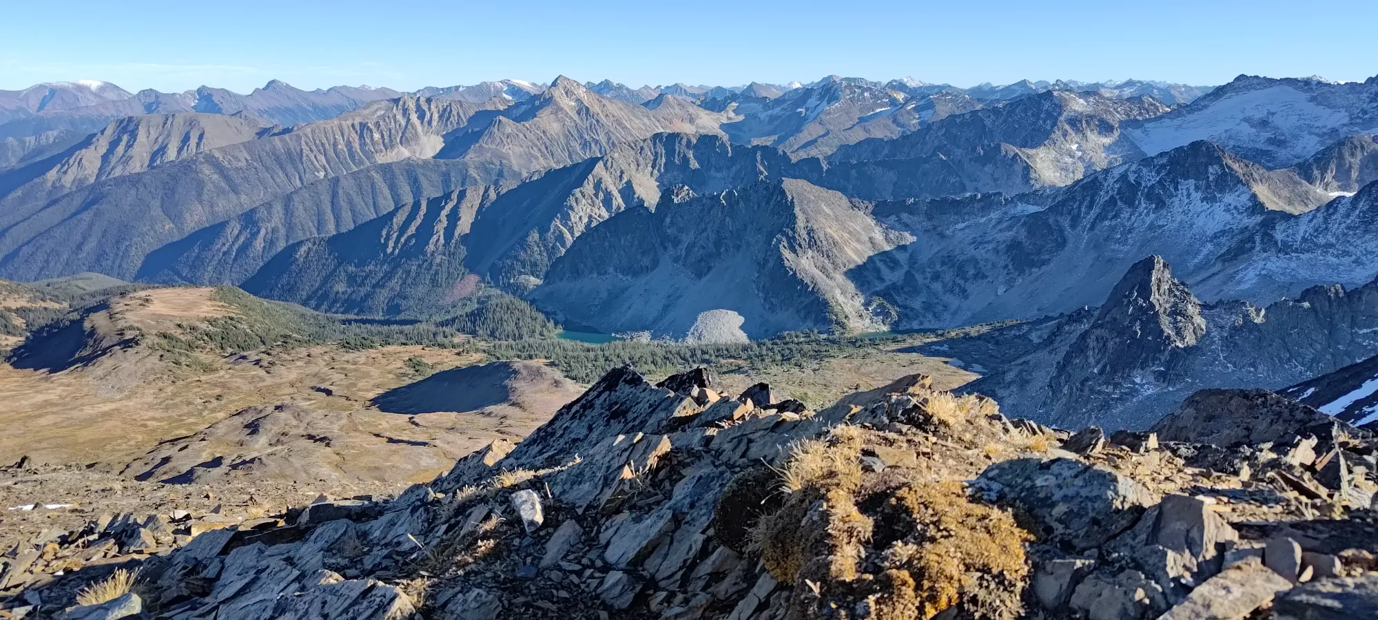
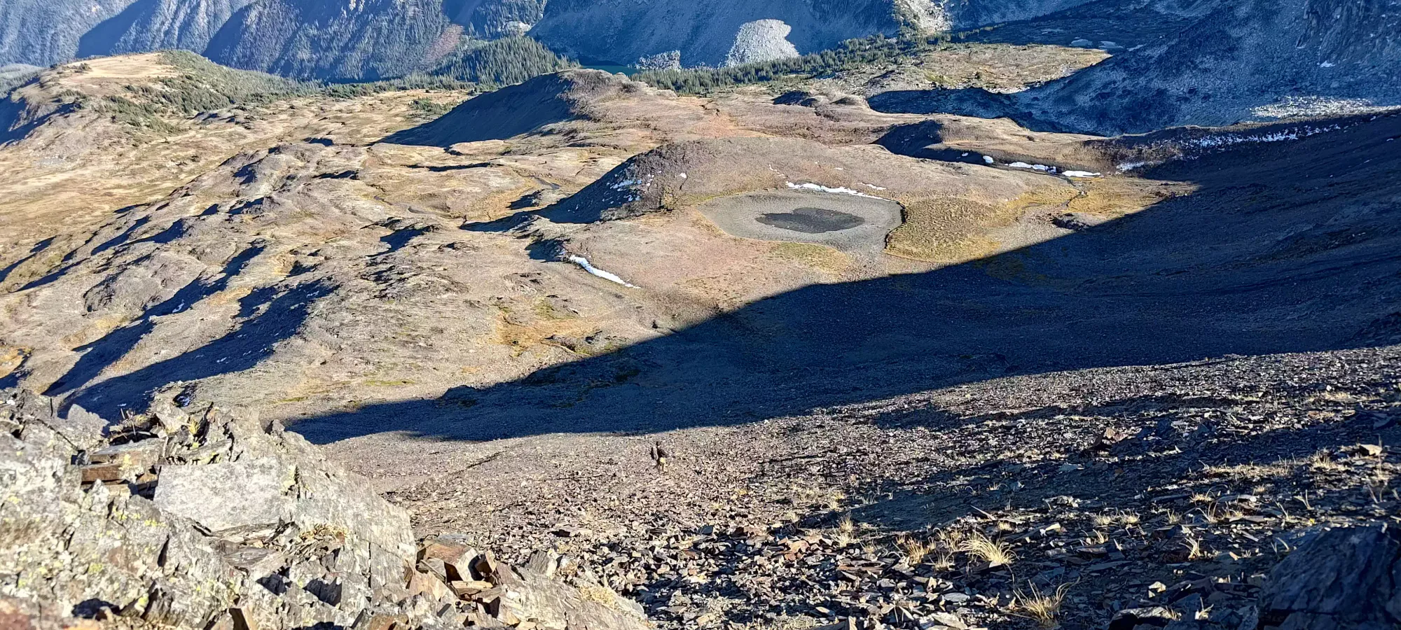
We headed north off of the summit to the first natural low-point on the ridge (just a few metres), where we started walking down, trying to minimize slope-angle on the descent of the eastern face. This proved to be effective, as once we turned down, the terrain was quite manageable. The top had the best scree-skiing, where we could actually plunge 10+ steps in a row, but as we got lower down, it was mostly just stepping on "pretty decent" rocky slopes, with a few steps here and there which properly allowed you to sink your heels in and slide. In about half an hour we made it down to 2350m, where the terrain flattened out beside a (mostly) dry lake, and we emptied our shoes before starting the plod across the open meadows before connecting back with the trail closer to Holly Lake.
From the lake, the walking was quite easy, and we dropped 230m of elevation over about 1.7km and half an hour. We followed a creek for the first bit before splitting off to skier's left when it got rather steep, then just staying in the more mellow terrain while ensuring we didn't go past the lake. The last stretch (about 100m of vertical or so) was a bit slower, as it brought us into the trees. About 70% of that was just weaving in-between various patches of open terrain within them, but the last 30% or so were "light-medium bushwhacking". Even still, this only took 15 minutes for us to get back to the lake, so I'd say it was definitely well worth it.


We took a final break at the lake, where we realised the trailhead was only 2.1km away; a surprise to be sure, but a welcome one. This area really does offer you quite fast access to treeline and alpine terrain.

Getting down to the car was an uneventful 30-minute walk down, and the drive back was equally chill. It was a bit of a weird experience to have such a relaxed day, and to be ending with so much time left in the day. We even had time to visit my favourite pizza place in the Sea-to-Sky, which I didn't expect to happen until ski season kicked off, so that was nice.
I'd definitely recommend people get up to this area while the road/bridges remain driveable, as it really is quite beautiful, the peaks are interesting, and the quick access to the alpine is rare in the South Coast. I hope I can get back while the snow conditions leave the peaks doable and road driveable, as I'm not that confident the bridges will last, unless that backhoe we saw was an indicator that they might get repaired by whoever brought it in.
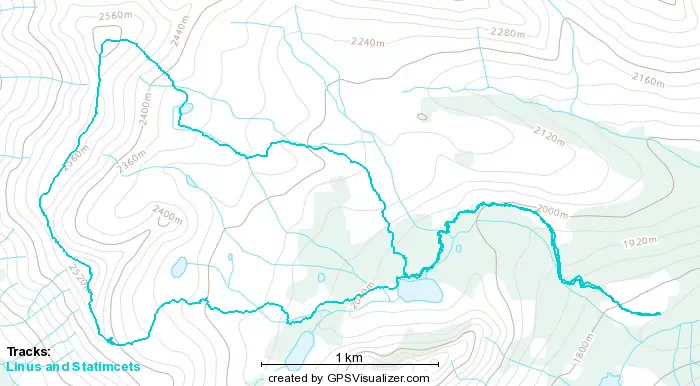
GPX Track + Map