Fuscian Peak - September 2 2023
A bonus peak for those going for Helm or Castle Towers, a simple ridge walk from Helm

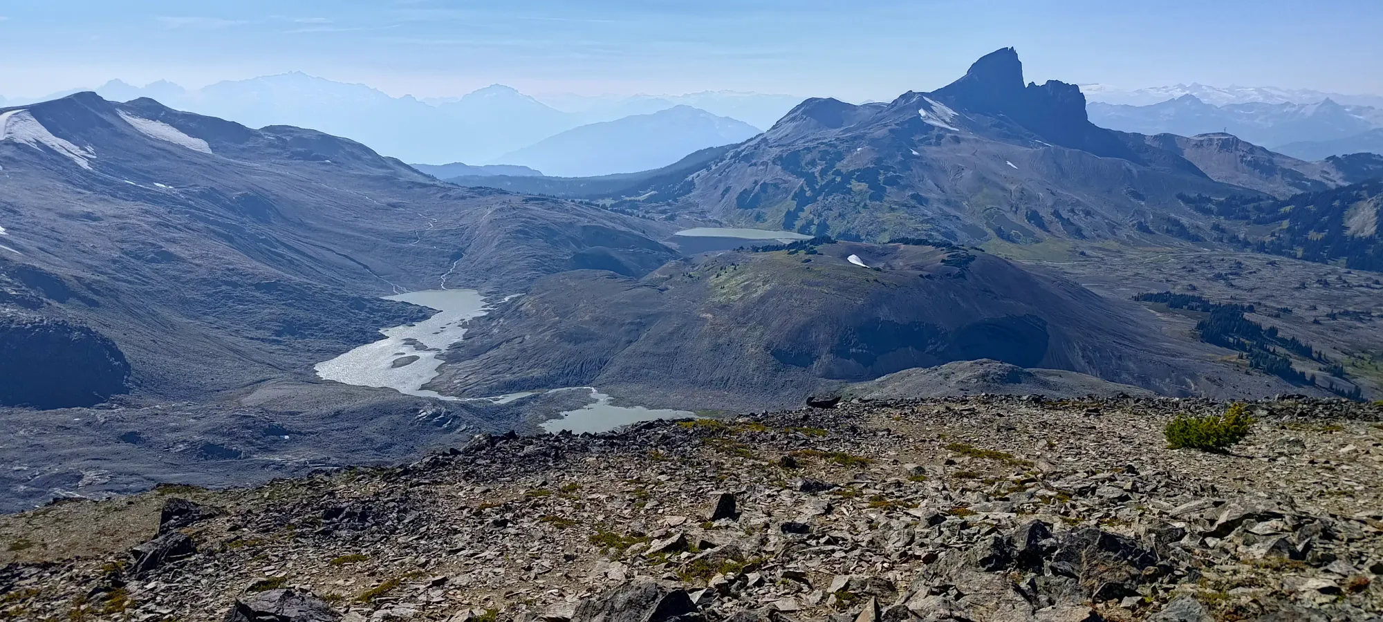
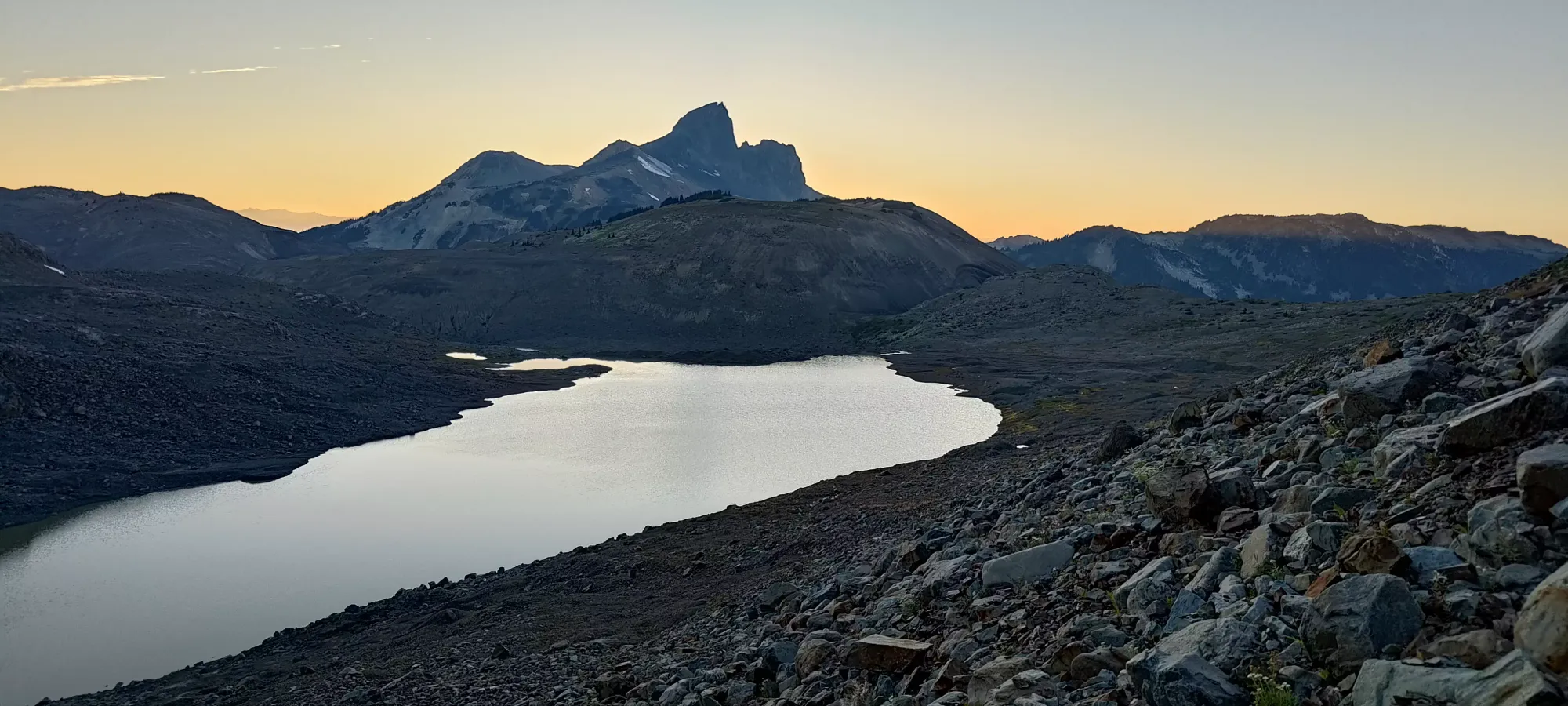
Garibaldi Névé, Whistler, British Columbia
2220m
This TR picks up from Helm Peak's, which we ascended earlier in the day.
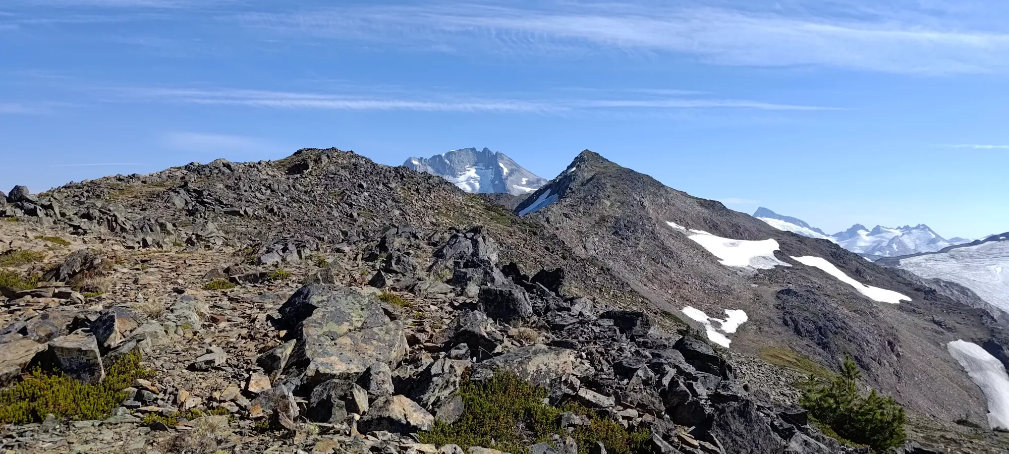
From the high point of the ridge beside Helm Peak, we started hiking along towards Fuscian along Gentian Ridge (which amusingly doesn't really contain Gentian Peak, which is across Helm Glacier from here). The terrain is pretty simple, and is mostly just a game of minimizing elevation loss/regain on the ridge, and picking the nicest boulders to hop on when they come into the path. We took a break halfway across (which was only about 10 minutes, for context, though it was the flatter section) for Logan to scoop some snow to refill his water. There isn't any water flowing near the ascent route on Helm, so he was running low, and wanted a buffer to push on to "bonus peaks". Once he got his fill, we continued on, and the ridge steepened a bit.

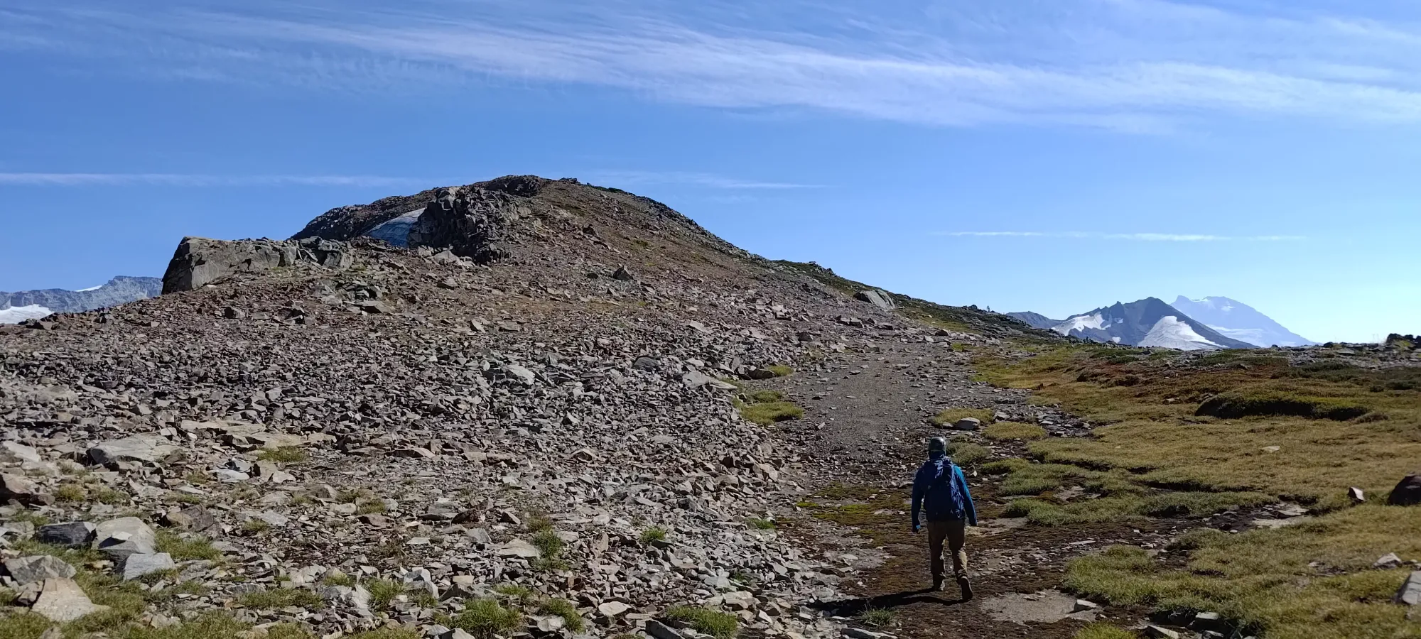
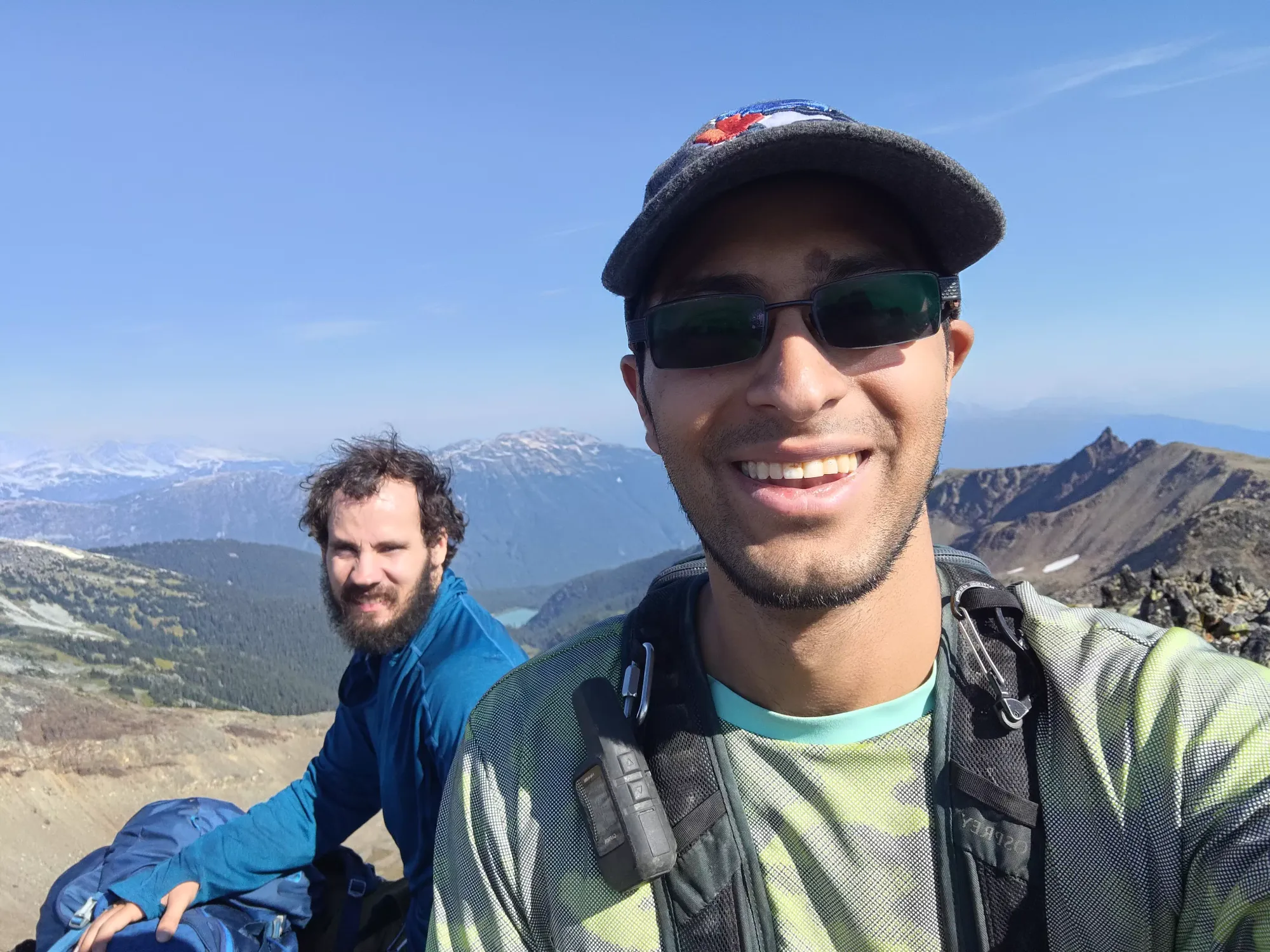
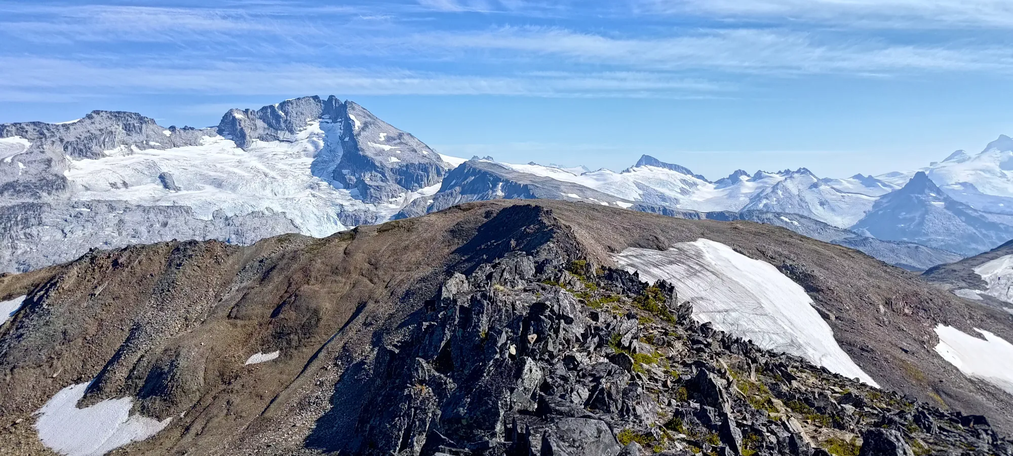
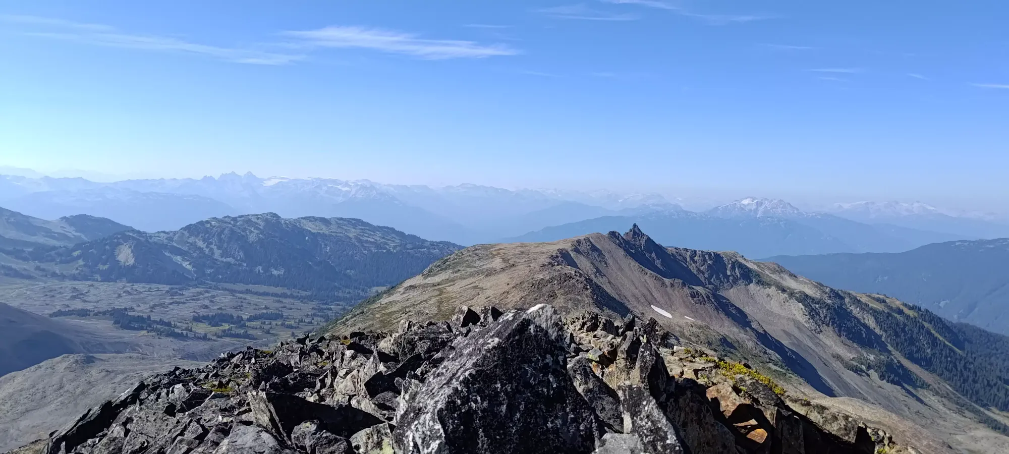
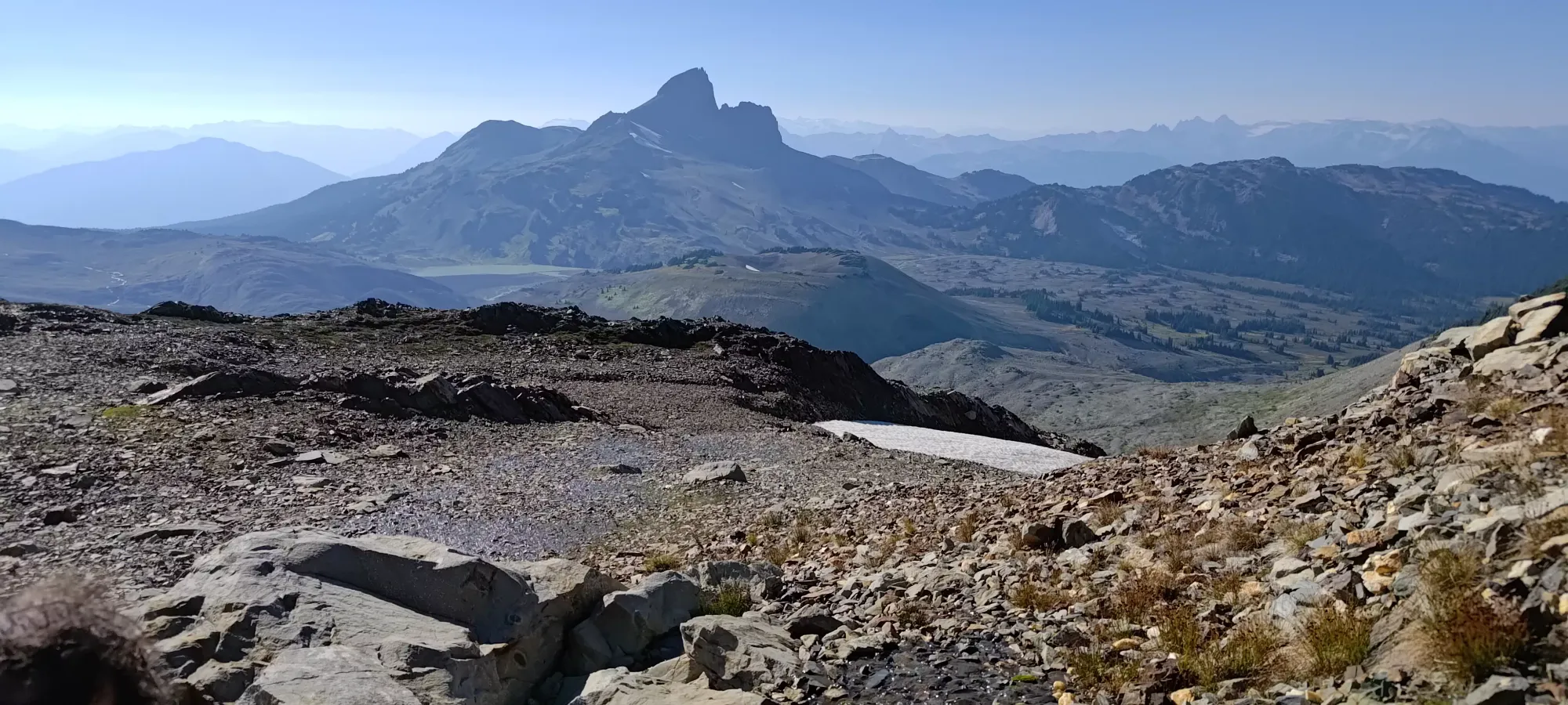
From that rest site, we trudged along for another 20-25 minutes to the top of Fuscian. The closer-up views of Castle Towers were quite nice, and we enjoyed them while snacking+resting for about 25 minutes. After some discussion, Logan wanted to have an enjoyable dinner instead of pushing for Corrie (the original stretch goal for the day), so we decided to turn back at 4:20pm instead of pushing further into the backcountry for a late night.


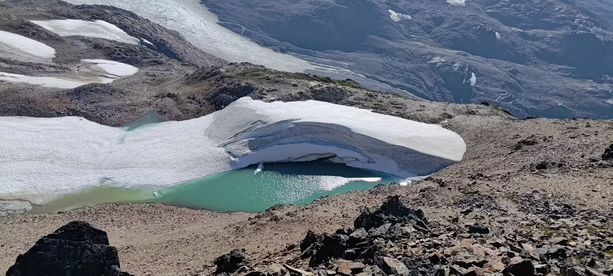
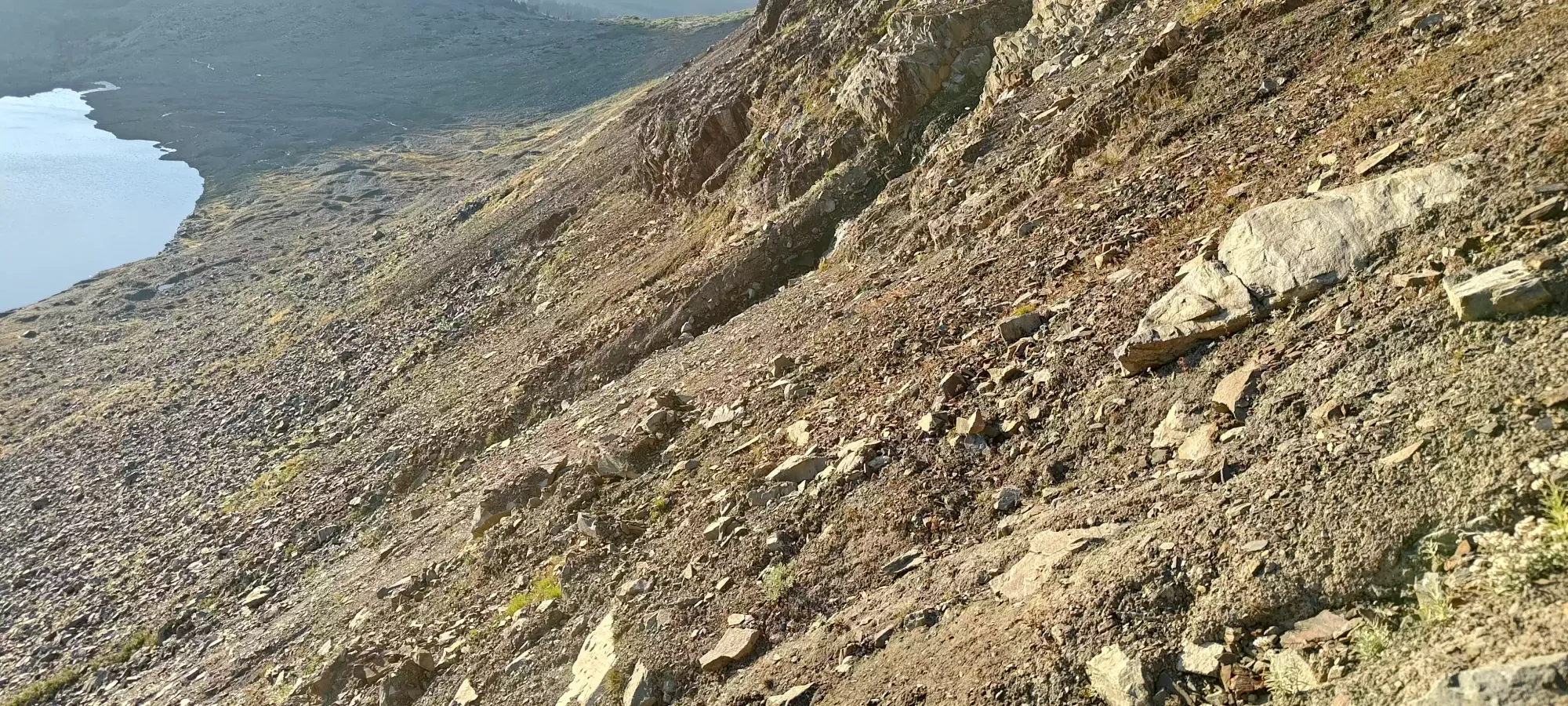
We decided to try and get down the West Face of Fuscian instead of tracing back along the ridge and going down from Helm, for just random interest in the terrain more than anything else, since there isn't a ton of beta on this peak, as most people go straight up the Helm Glacier towards Gentian, and don't bother with Fuscian or Corrie. There were initially just easy bluffs to get down, and we soon found ourselves able to see a newly-forming lake on the side of the Helm Glacier, which looked tempting to jump in, though we did not take nature up on that offer.
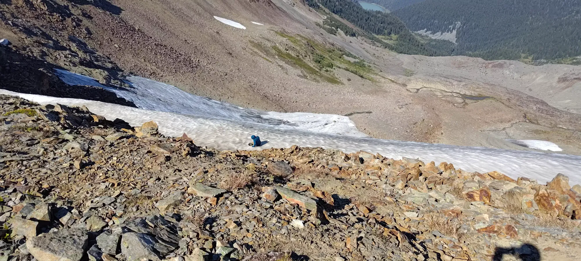
The easy hills with occasional bluffs continued down to 2000m, where we found some snow that was melting enough to refill Logan's water (the snow wasn't melting very fast). However, it was very dirty, so a strong pre-filter would be required to fill up this high. I downed my water (had a 500mL spare) hoping to refill here, but upon my discovery, I had to abstain, as my filter is still missing a part and MSR support isn't very fast to reply to emails.

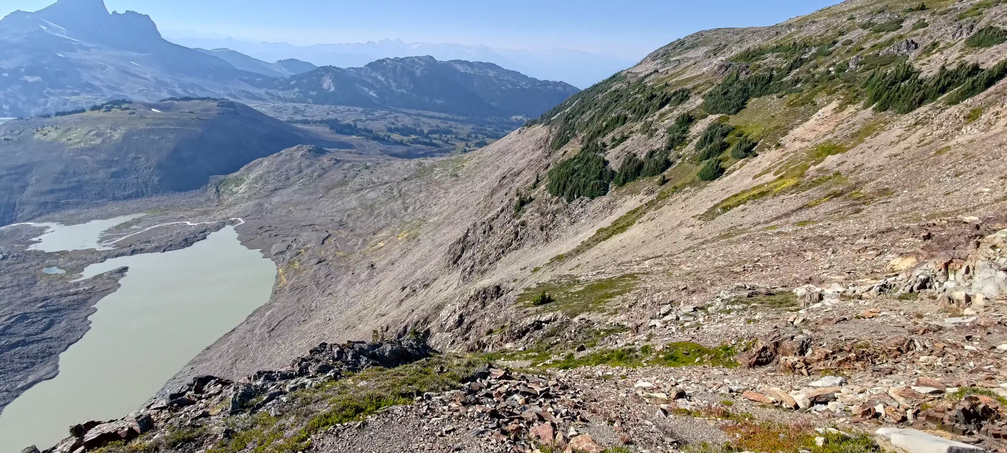
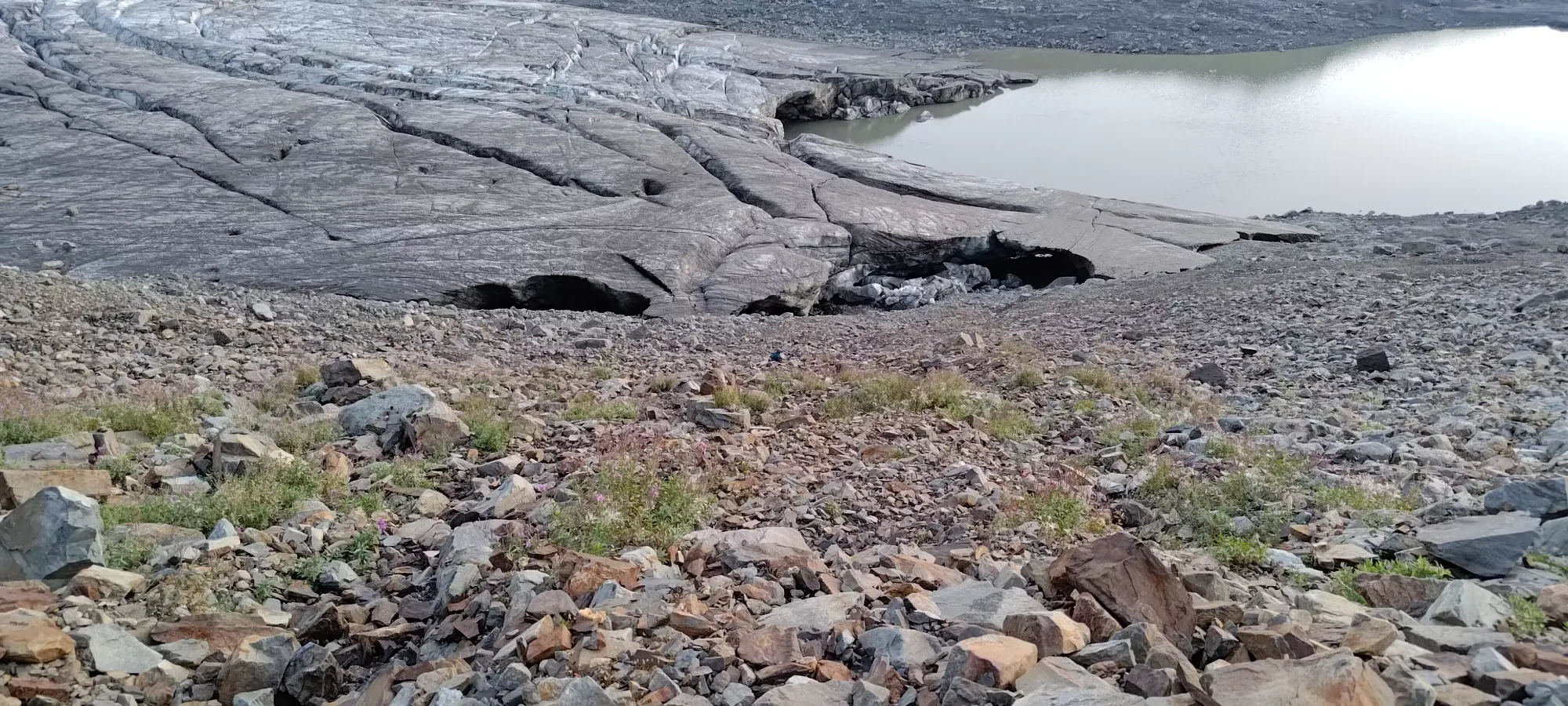
As we got lower, we came up with a few plans: we could trace back southeast and get onto the glacier, and walk down (Logan wasn't a fan since he didn't bring traction aids), we could continue down the bluffs/hills to the side of the glacier's terminus lake, or we could of course turn back and retrace our ascent. We were happy enough to keep exploring, so we pressed on. However, we soon hit a point where skier's left cliffed out hard, and we had either a loose gully or a steep debris bowl to descend to the lake (2030m). I posed the question to Logan, and he preferred the gully, hoping it'd be faster and that the walls would provide enough stability to get down smoothly vs an uncomfortable descent in the steep bowl.
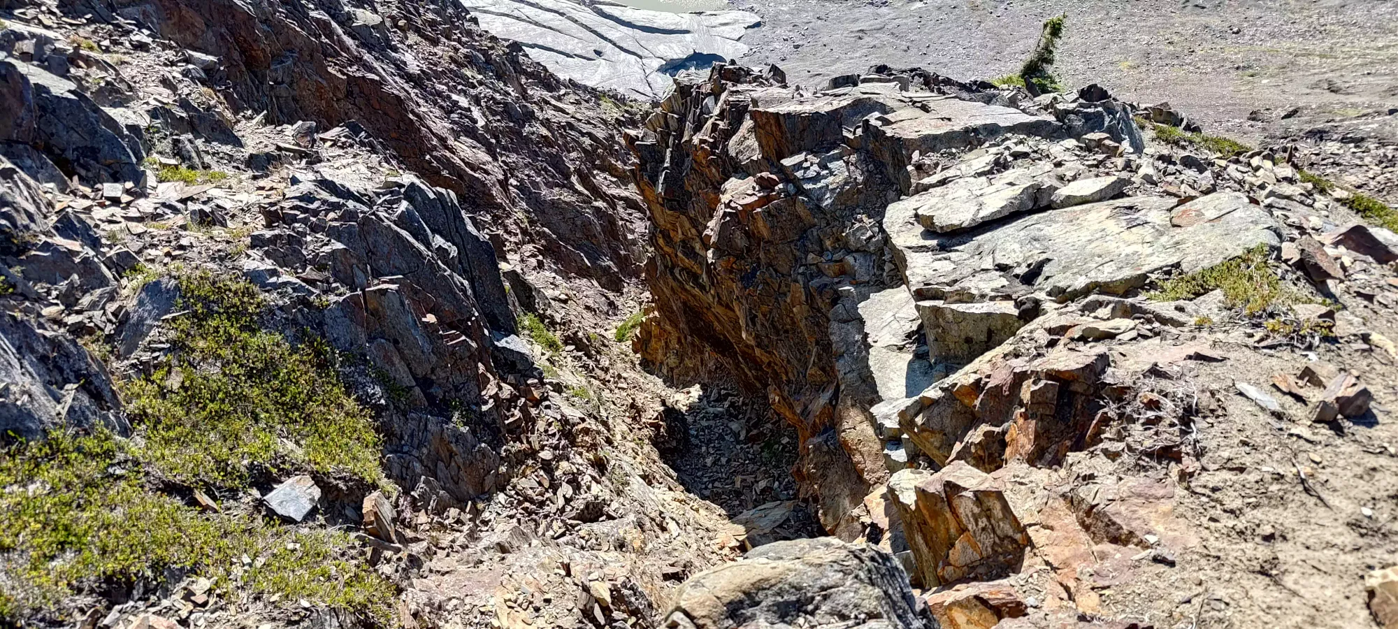
It turns out that the gully wasn't the efficient choice we were hoping for (sorry Logan's hopes of a nice dinner). The looseness of the debris inside made travel non-solo quite slow to avoid obliterating one's partner (Logan lost rock-paper-scissors so he went down first). The first couple dozen metres of elevation were pretty easy, if loose. However, as we got lower, the tedium of waiting for safe spots to allow the other person to descend, the poor rock quality of the holds (much worse than Helm Peak), and the eventual wetness as water somehow made its way in (despite the top being dry) convinced us to look for rappel stations to try and make things a bit smoother.
The first such station was quite annoying to set up on, as the holds were awful below it (and I happened to be below it as compared to Logan, who set it up from above, and clipped in to get himself set up to go down). But, once Logan got down, I managed to fumble my way to getting clipped in to the anchor after far too many minutes, and we got to bypass a lot of doable but unpleasant downclimbing.

We went down a few metres before finding another potential station. Logan had found it and slung a sling around, and was getting ready to get the rope onto it before I came down and gave it a good yank, and the horn broke off. Make sure to partner check the anchors you build, including the rocks themselves. After that, we found an altnernative a few metres higher, and set up another rap.
After that, there was some rather tedious and slippery downclimbing where in the wettest part of the gully, followed by some rather annoying "controlled butt-sliding" down the steep dirt face littered in rocks, and then eventually we got to terrain where one could actually stand and walk down the choss instead of just sliding. We both hit the same stream at different elevations in this section to get some good refill water, and eventually met back up on the sides of the lake a very long and inefficient 3 and a half hours after leaving the summit 😅. I'd not follow this route if you don't hate yourself, the ridge to Helm is mostly downhill and very easy terrain, and while steep, the way down from Helm is definitely still walking terrain.
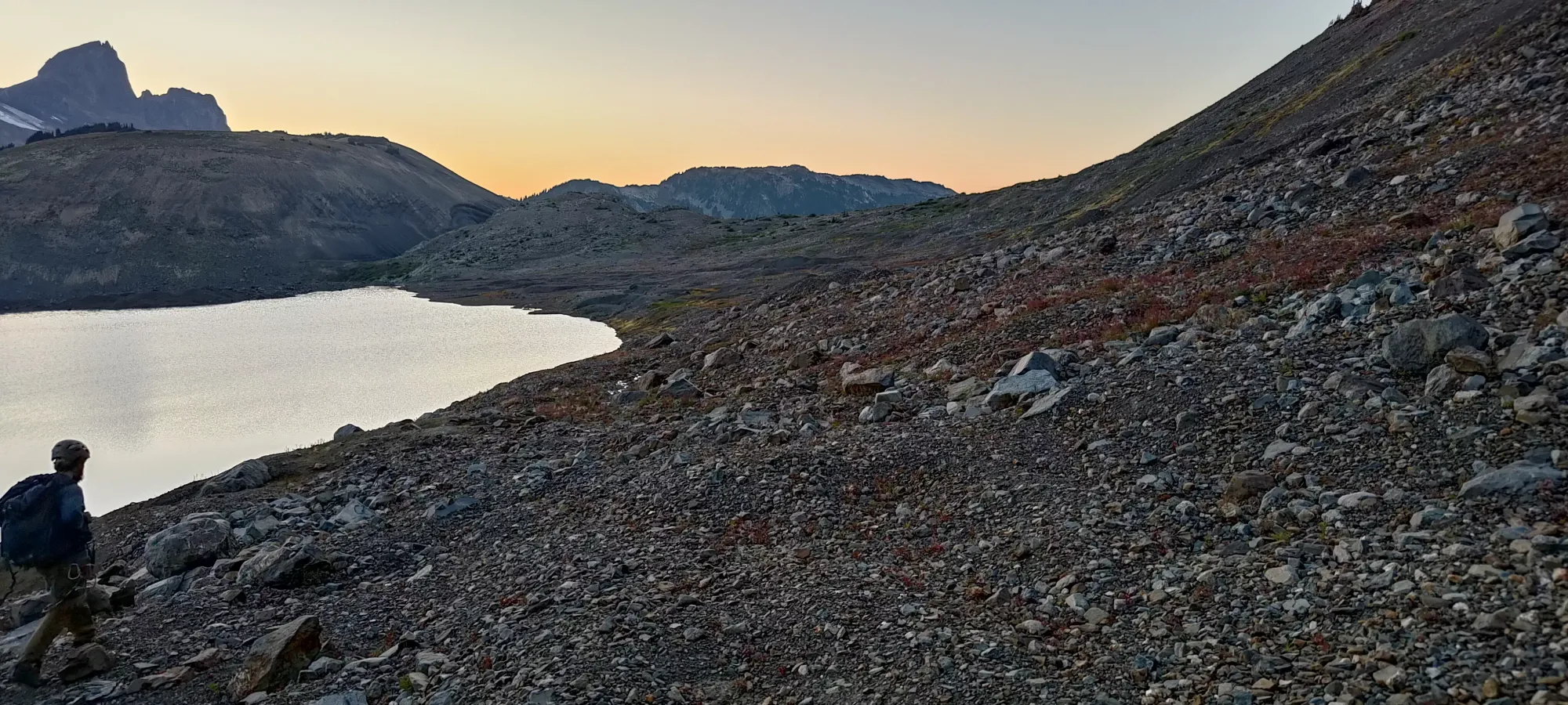
From there, it was easy sailing. It took a bit over half an hour to get back to the junction of the Helm Creek and Castle Towers trails, where we donned our headlamps. From there, it took us about 2 hours to go back down the nice trail down and out to the car. Despite us running a couple hundred metres of elevation worth of terrain (I surprisingly was able to do so with the assistance of poles), it took as long as I have taken to do the same uphill due to it being the end of the day, and us taking some breaks along the way.
Once we got to the parking lot, I got a blister for whatever reason (only started feeling it right there). That made the walk back to the car down the road a lot more annoying than it needed to be. Once there, we packed up and limped the car down to the paved road where we found a streetlight to assist in our attempt to inflate the tire, as we hoped it would hold air enough to not necessitate a full swap at 11:00pm. We pumped it up and headed to Whistler for some late-night eats, after which we were able to drive home with full pressure, and I could swap that out for my spare the next day 🙂.
Overall, this was a pretty fun trip, as we got 2 peaks in, and I was pretty happy with my fitness/pace up to Helm. The descent was definitely not that fun, but also not unexpected, as we intentionally didn't take the easy way (multiple times), and sure enough that ended up making things "not very fast" at the end. Getting a blister at the end was rather annoying, though. Speaking to the value of Fuscian Peak, it's not much to look at by itself, and isn't very prominent either. But, it has good views, and is worth picking up if you're in the area already for something else, like we were. I'm a bit sad we didn't get Corrie as well, but I have some ideas to explore about ski lines on it, so maybe I can find a fun way to get that in the winter to make up for it.
GPX Track + Map