Caspar/Snowspider Area (Kosegarten) Touring - February 3 2024
An exploratory day skiing out in the deeper areas of the Duffey, near the peak Kosegarten. In 2023/2024, you have to work for your powder!

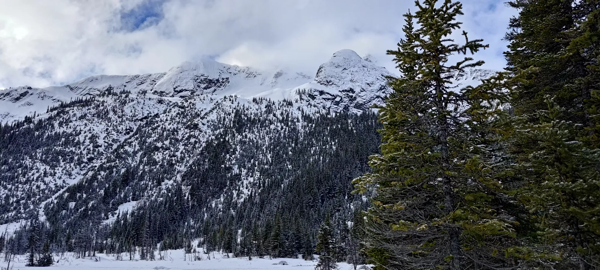
Joffre Group, Pemberton, BC
2075m
With the last week and a half of rain and ridiculously warm temps finally behind us, the last night before the weekend gave us a little bit of snow in the Sea to Sky. With it, however, came a lot of winds, and a thick crust over the snowpack, at least where it hadn't avalanched with all that rain making the load over weaker layers difficult for the snowpack to bear.
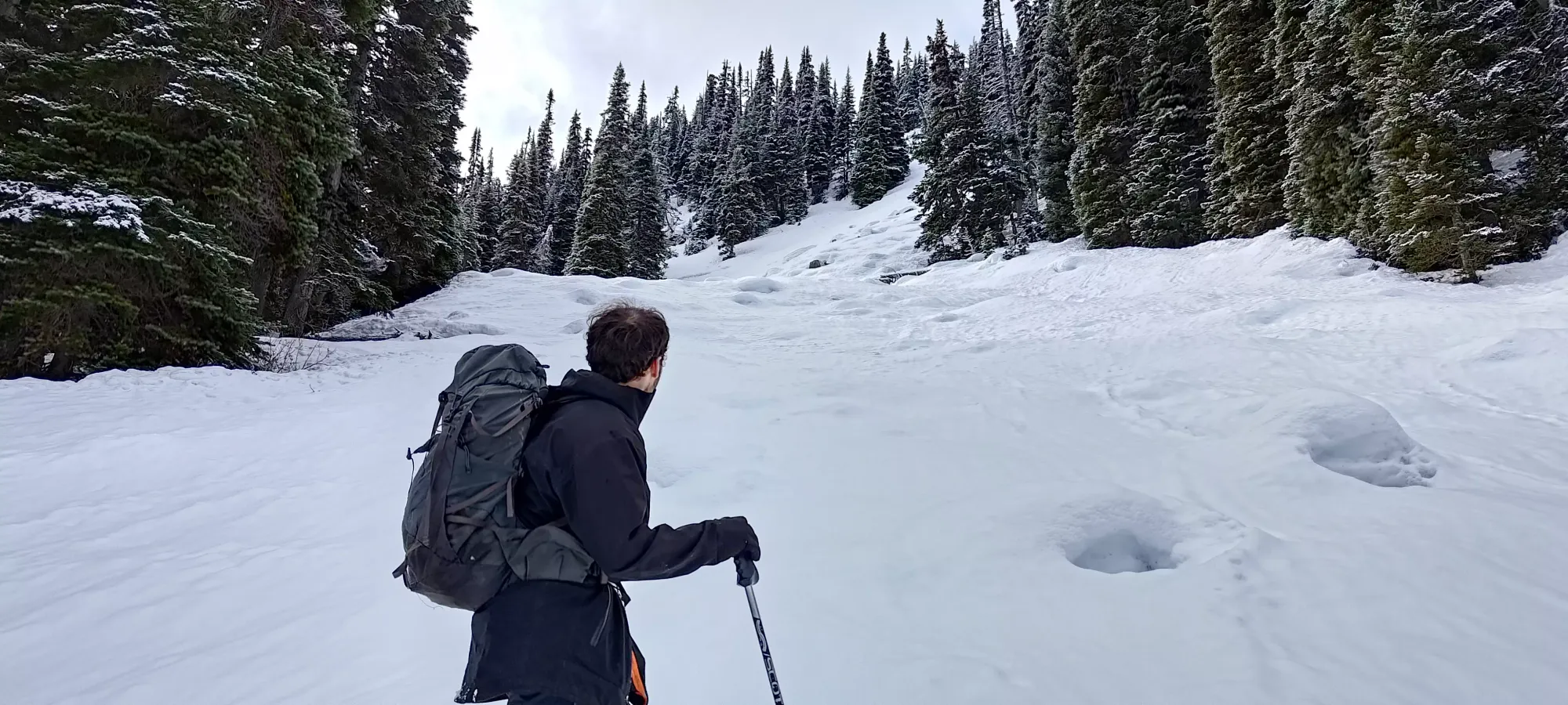
With that, I had to be pretty selective with my objectives. One might normally go for low-elevation peaks without avalanche concerns and "just hike", but I still was nursing a bruised heel that was not a fan of being used for hiking, but was happy in ski boots. Plus, well, skiing is fun. So, I crafted a plan to hit Mount Caspar in the Duffey, figuring that would be fairly north-facing without having big pockets to get too loaded, high enough to have got snow, and have an approach that should be fairly open. Logan joined, and we met up at the trailhead starting at about 8am (I had plans to try and continue on east after the end of the day).
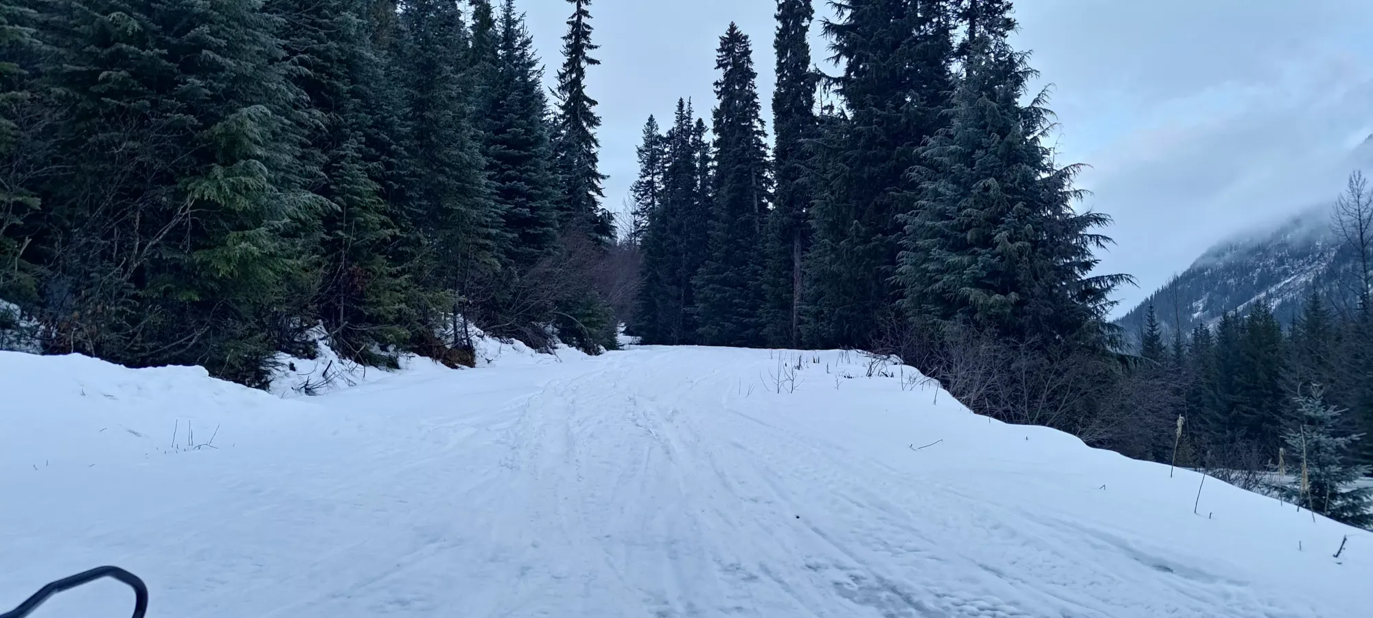
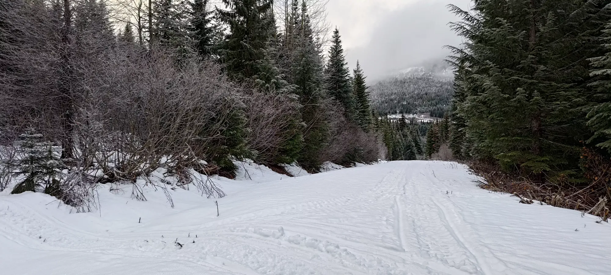
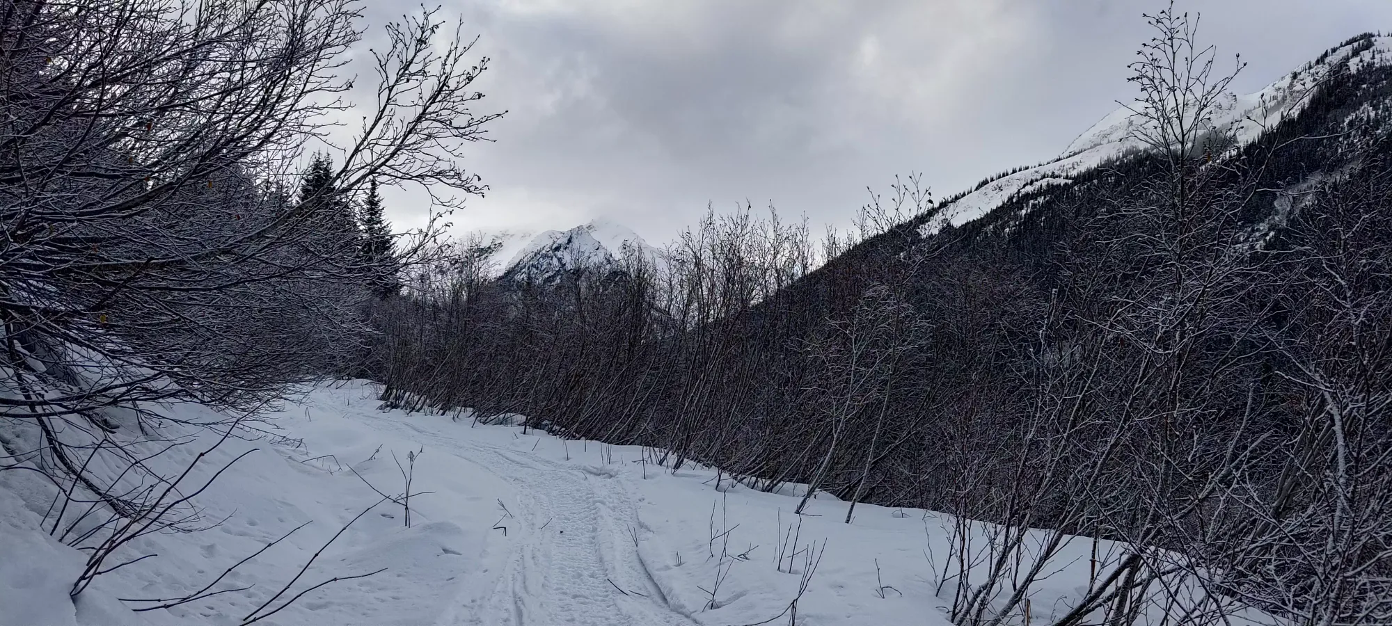
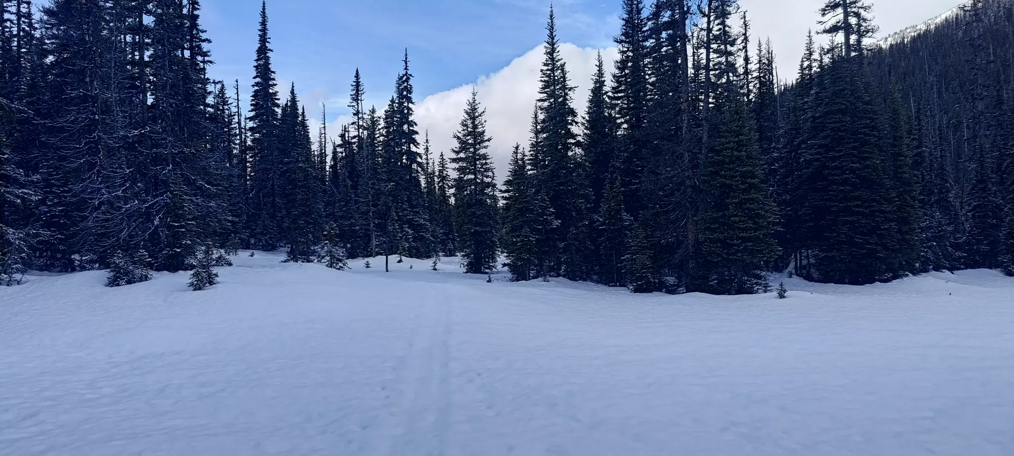
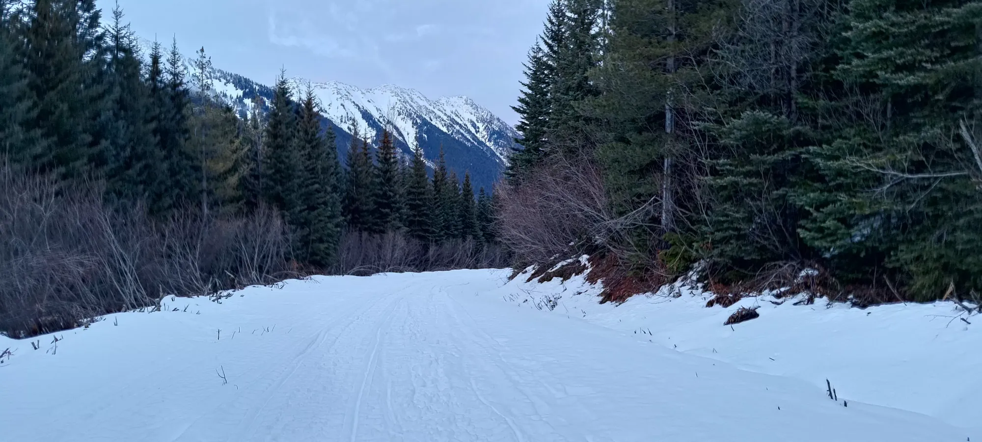
We tried to drive up a bit, and while Logan had success, I was digging a lot on my car, and was too lazy to air down and chain up to fix that, so we decided to just walk, since it really wasn't that bad of a hike in. The main forest road was continuously snowy, albeit with a few patches that "slimmed down" the skiable area. We cleared that first 2km in half an hour, not moving all that fast.
The real "problem" was the snow... it was a bullet-hard crust, and that crust didn't go away for the entire day. Good for stability, but not so good for enjoyable skiing. I was already dreading the ski down's impact on my poor knees 🤣. Logan, who was snowshoeing (or just booting it for now) was much happier.
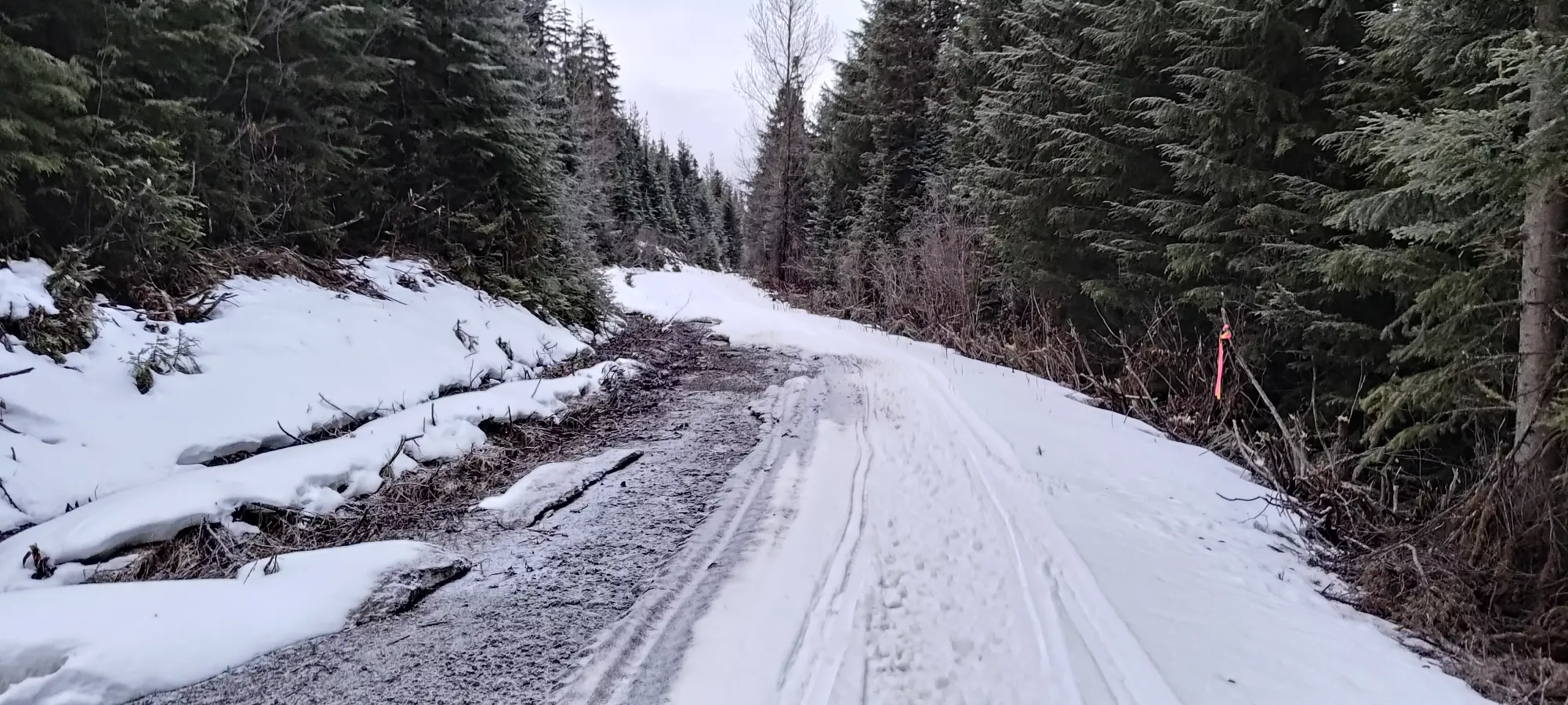
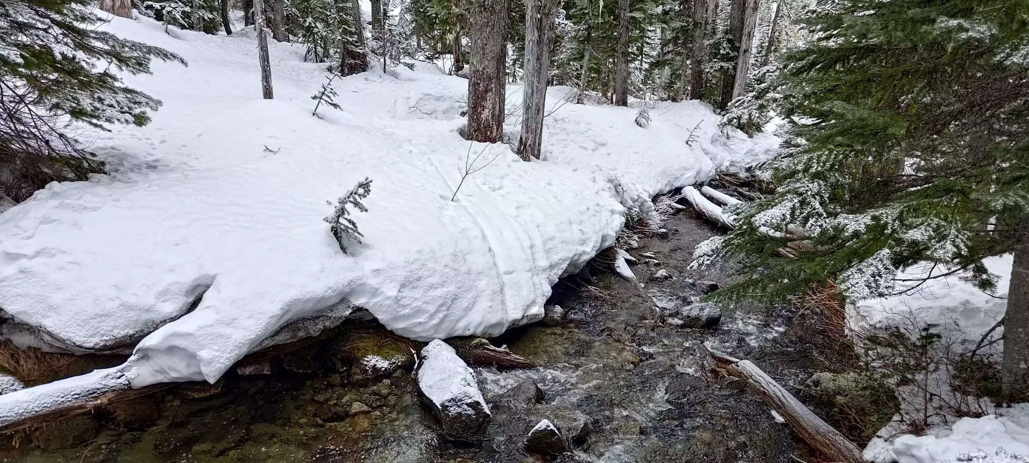
Once we got onto the spur road, it narrowed to a single-vehicle width, and felt narrower due to the sled tracks having made a bit of a narrower channel in the centre of it. Here, there were a few open creeks to cross, though all but one were bypassable or crossable with skis on and some acrobatics.
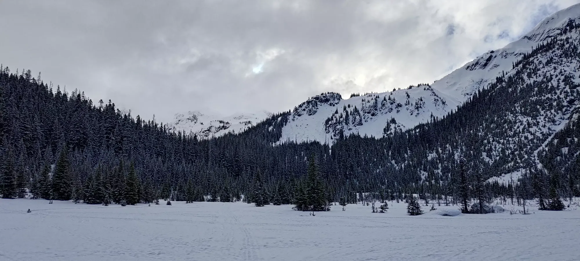
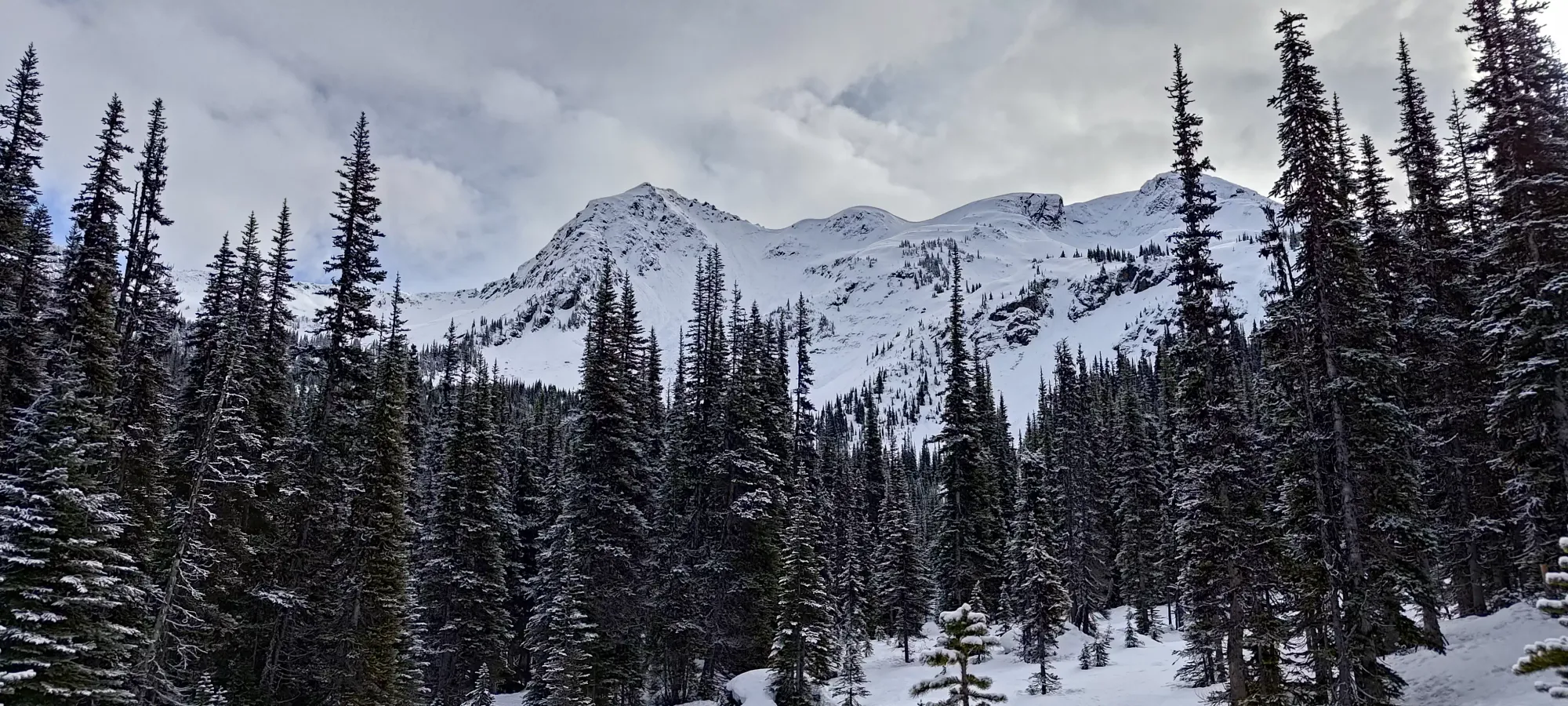
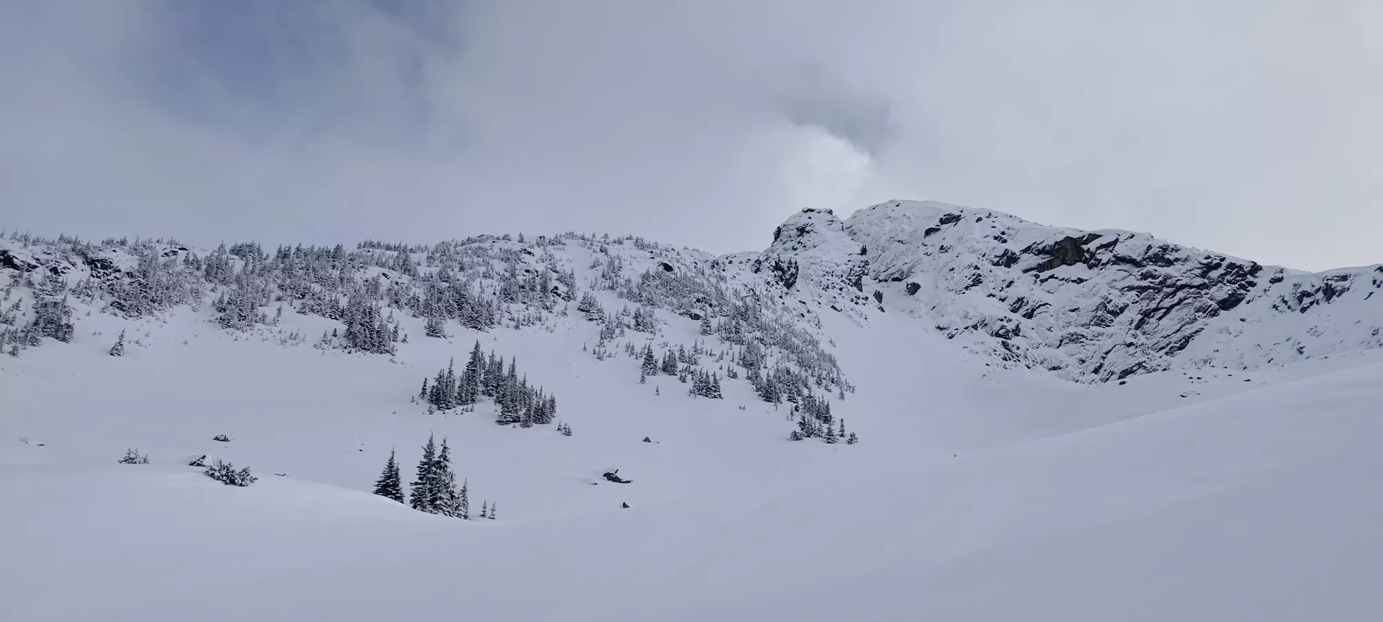
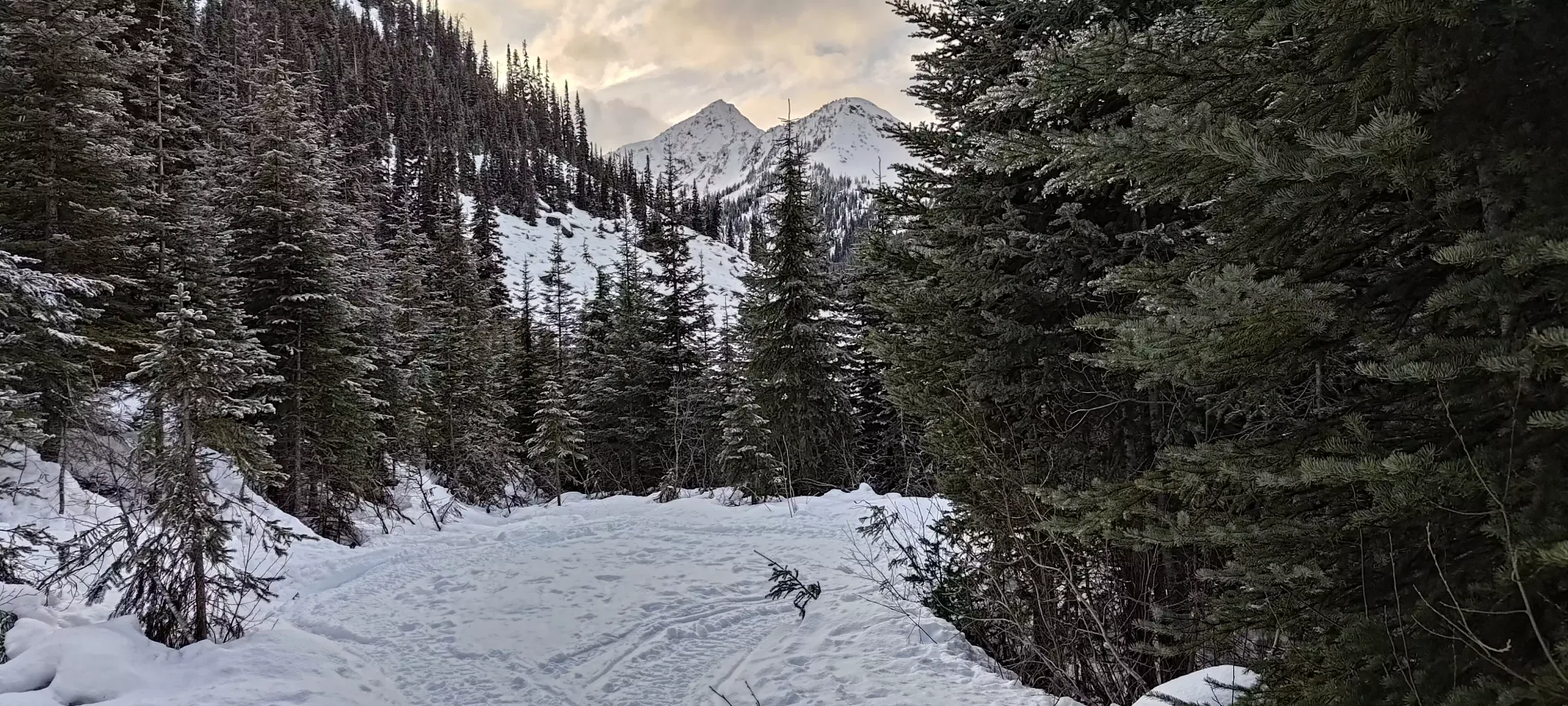
As we walked along the road, we kept our eye out for the few avy paths that come down the flanks of Caspar, but none of them seemed particularly skiable or even ascendable. The first looked the best, but not good, so we kept on walking all the way to the forested approach that I'd read was a "fairly open forest", hoping that the snow coverage would improve as we gained elevation on the spur.
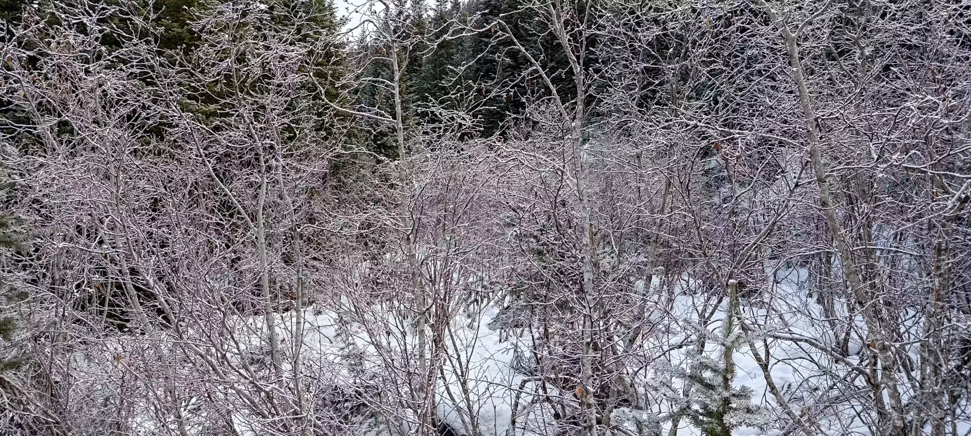
We got to the "official" turnoff a bit under 2 hours into the day. Our hopes of the 1500m elevation vs the 1150m start resulting in deeper snow were slightly true, but sadly there was a wrench that dismantled the plan significantly: the next section of trail was an overgrown alder road, one dense enough to give me flashbacks to my attempt on Chief Pascall earlier this season. There, I bushwhacked and crawled for nearly an hour before giving up due to inefficient travel, and I knew this would be similar. With that, Logan and I talked, and decided to follow the spur road to the end, since the sled tracks continued, and "presumably they ended somewhere". The slopes of Duke and other peaks we saw in the distance looked really nice, so we were hoping the answer would be "the sleds went there", and we'd have some fun after all.
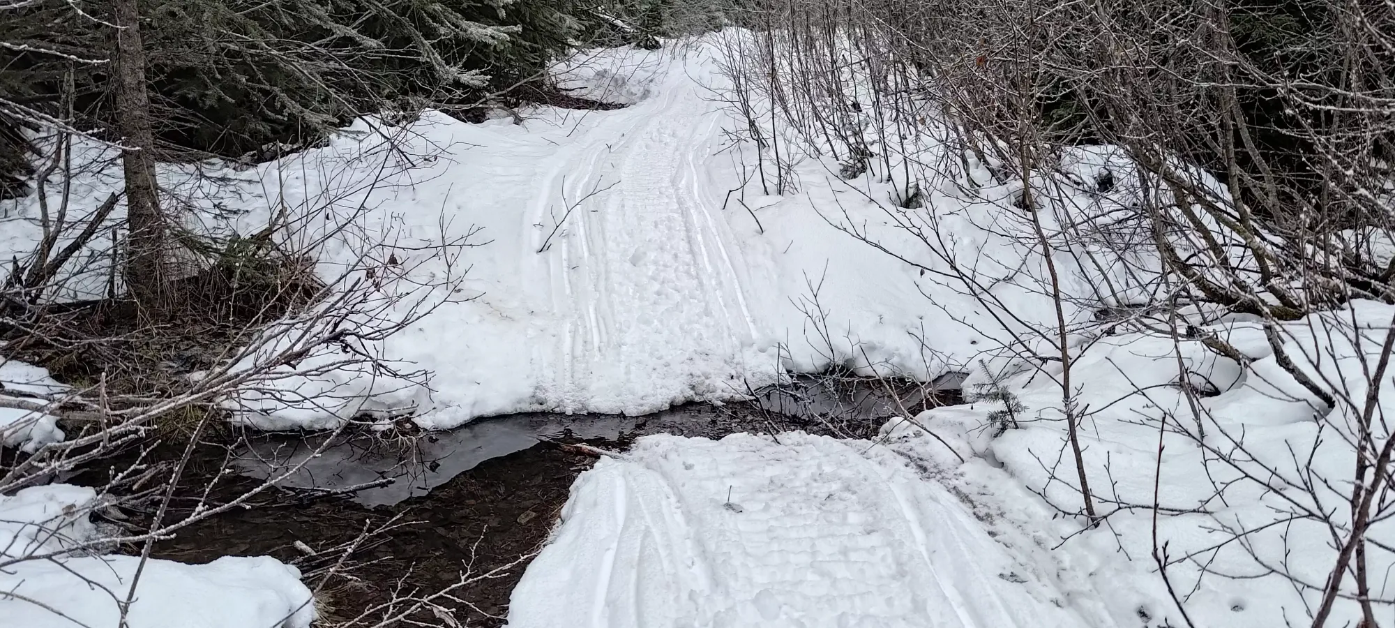
The road ends fairly quickly after this point, so we got there in a couple minutes, and saw 2 paths: a ski path leading towards Caspar Creek, and a sled track going into the forest. We went for the first since it seemed to more directly head towards Mount Duke, which seemed ideal. However, it quickly became evident that the creek was super not-bridged, and I didn't want to wade through with my ski boots or spend a bunch of time trying to go up/down the banks to find a better crossing, so we just turned back to follow the second option.
Entrance to the first track, and the creek where we turned back
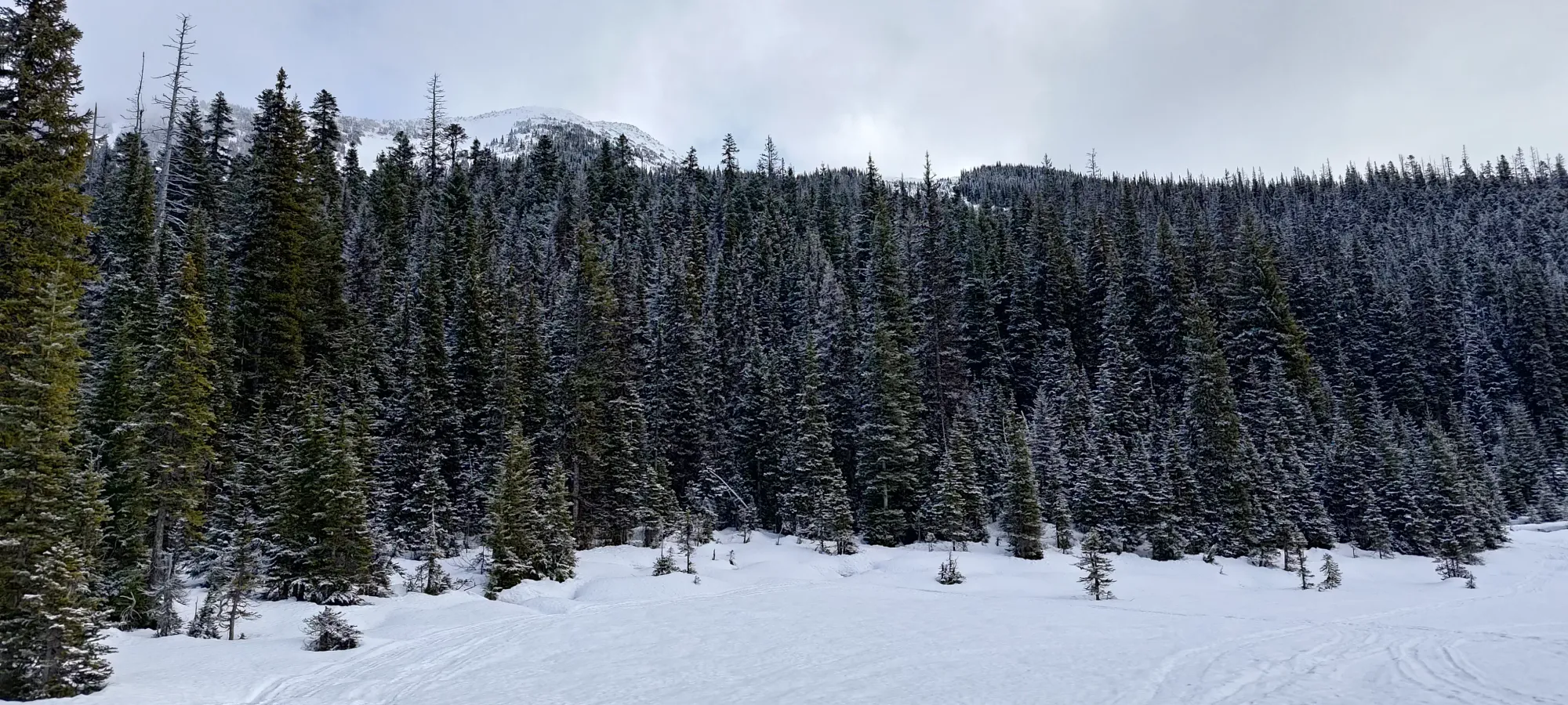
The sled track went about a kilometre in the forest, gaining maybe 70m in the process. It wasn't a road, but we saw flagging in a few places, and sleds seemed to be able to fit through. The forest coverage was still thin, though, and with the crust, I'd not try to ski down off of the sled/skin track without more snow. At the end of this section, we were emptied into a large, flat area where the sled tracks started going all over the place. We took some pictures, then split up; Logan following the ones furthest to climber's left in a desperate attempt to find a way up Caspar, and me going straight through (ish) to see where the exit would be. After Logan gave up on Caspar completely, we had a nice snack break, then continued following my chosen tracks deeper south into the wilderness.
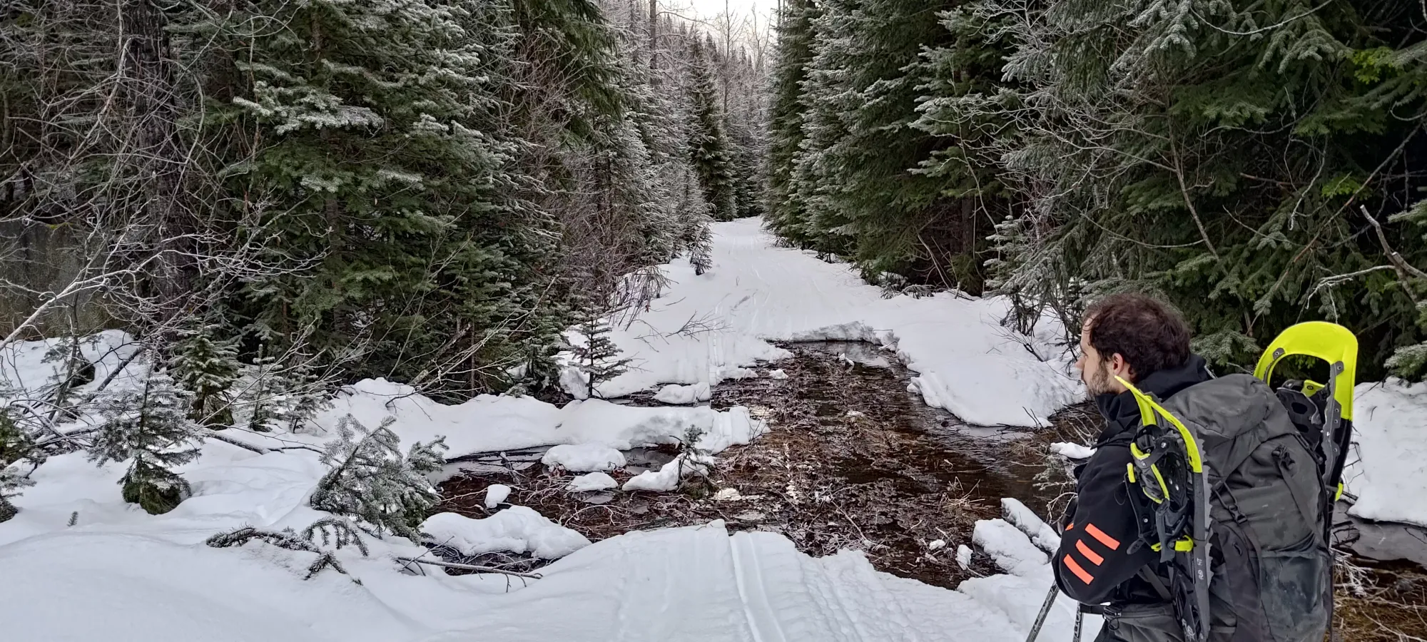
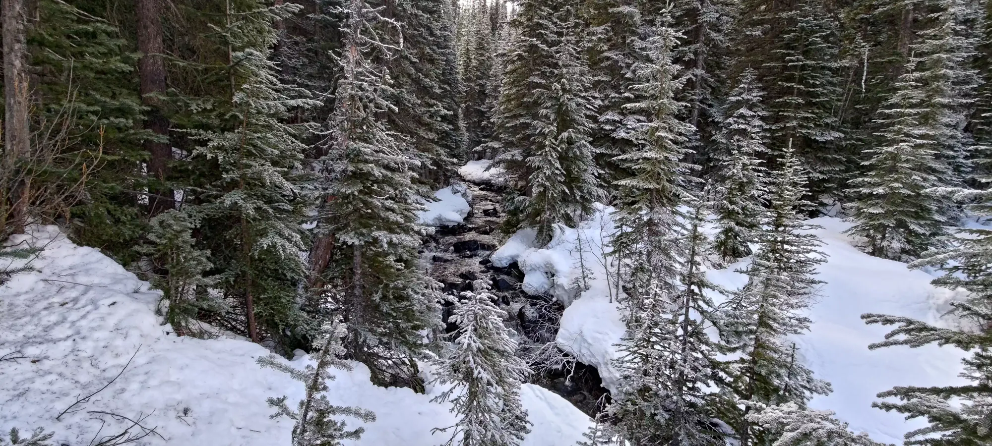
We followed some old skin tracks out of the end of the flat basin area for about 15 minutes, then we hit Caspar Creek once again. We were about 100m higher, and in a more forested area than the last time, and that seemed to be enough to make it crossable. We couldn't exactly follow the skin track (it literally looked like they skied directly into the water, must've been a collapsed bridge), but we found some logs that made it dry and not-sketchy.
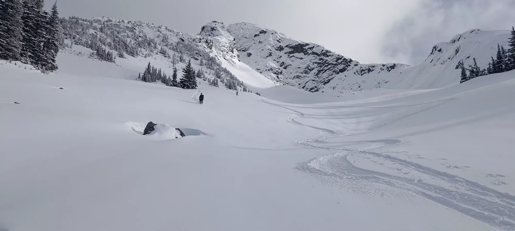
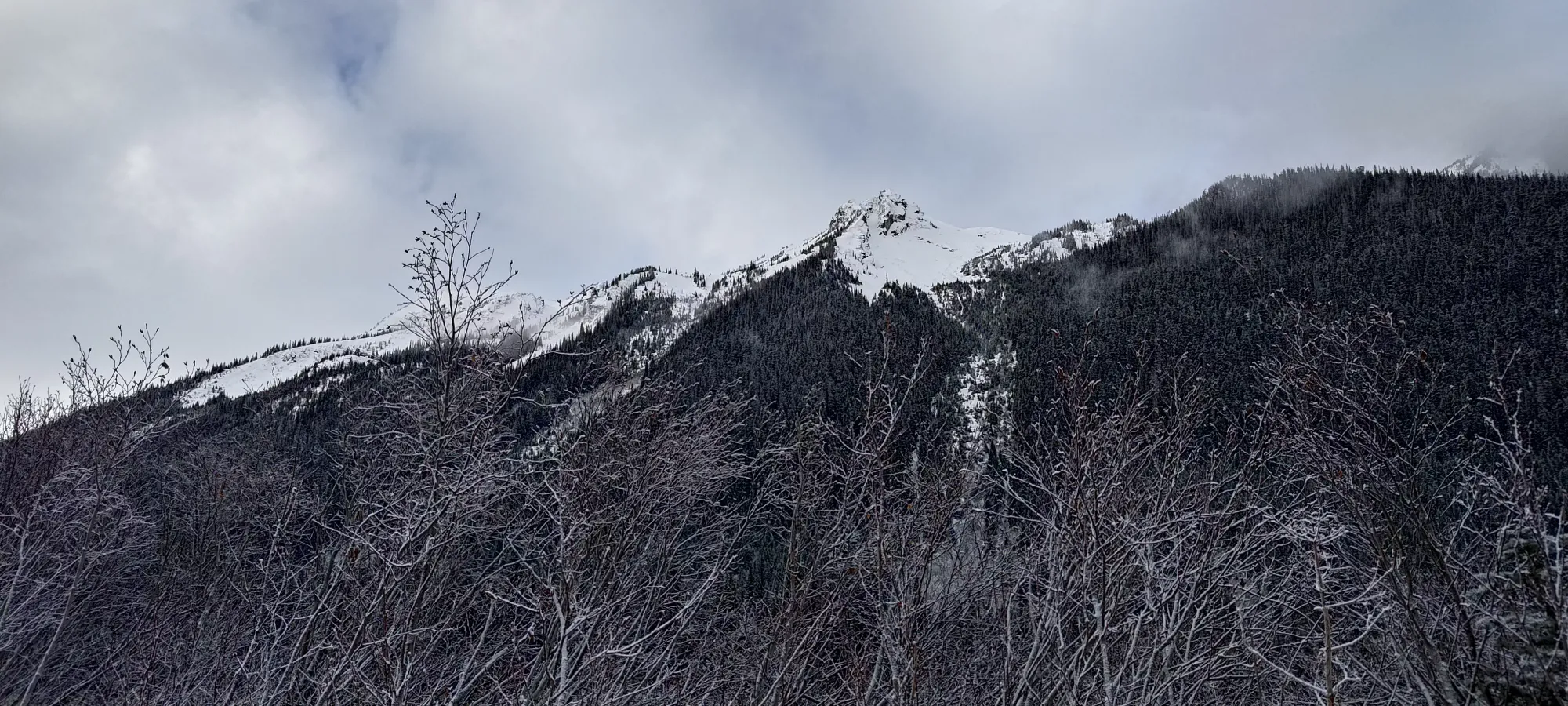
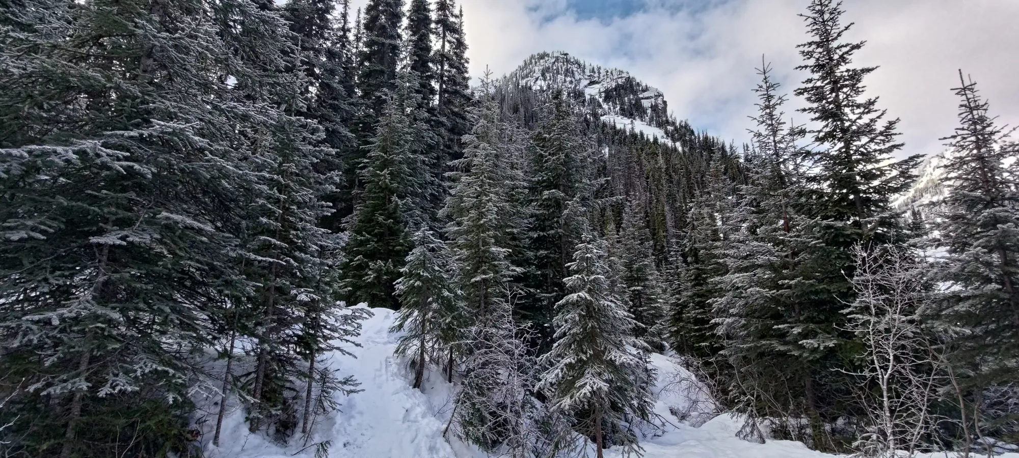
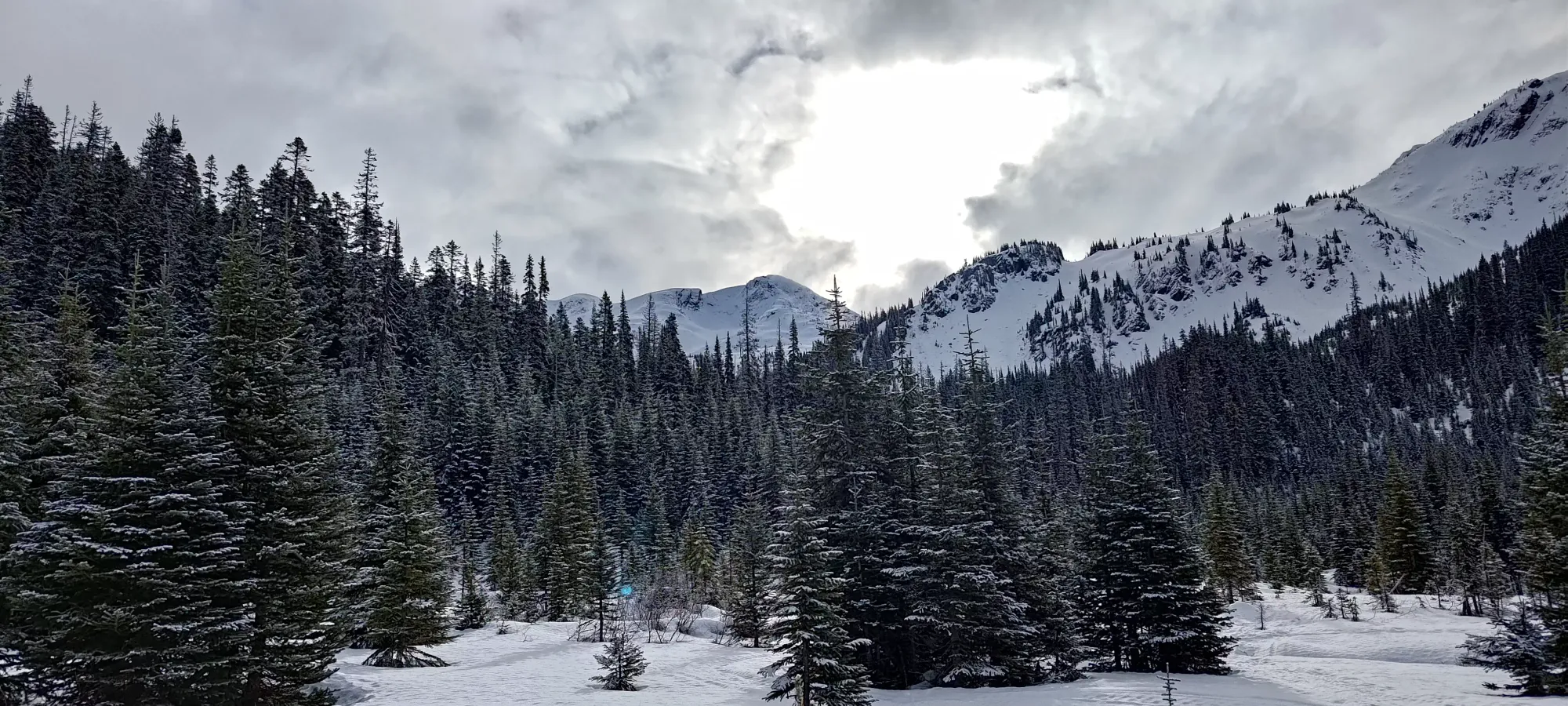
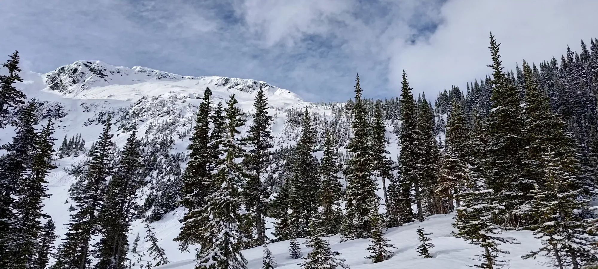
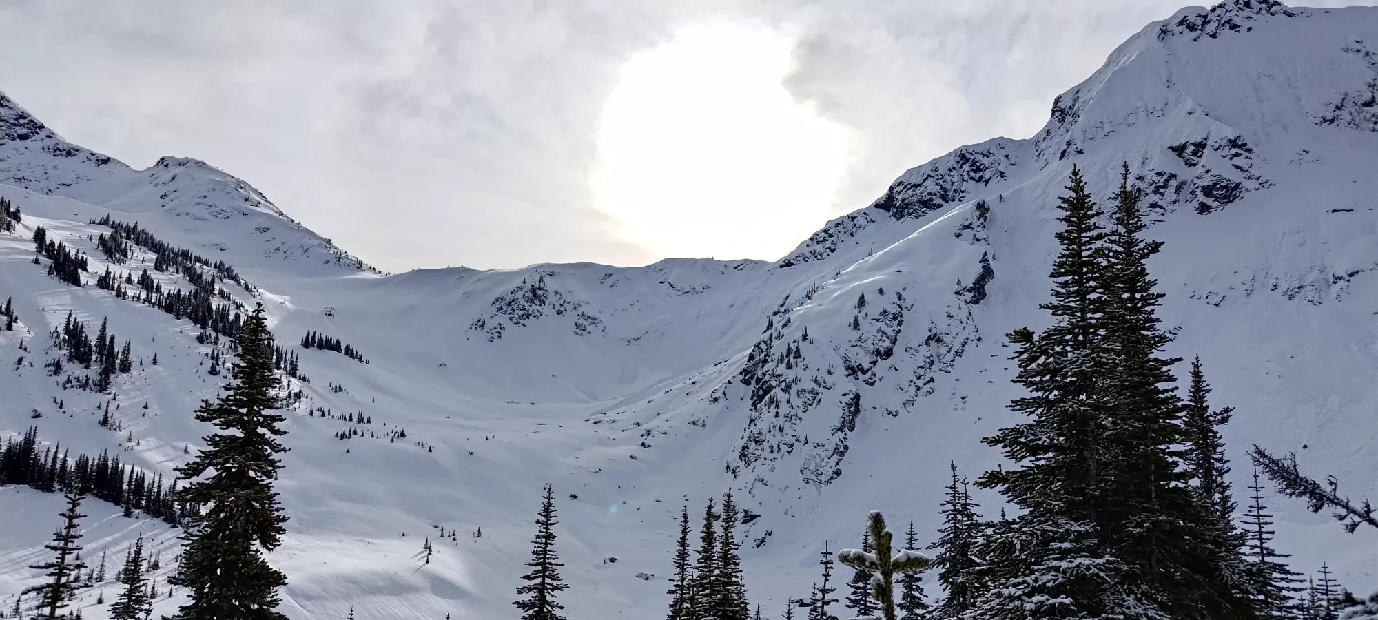
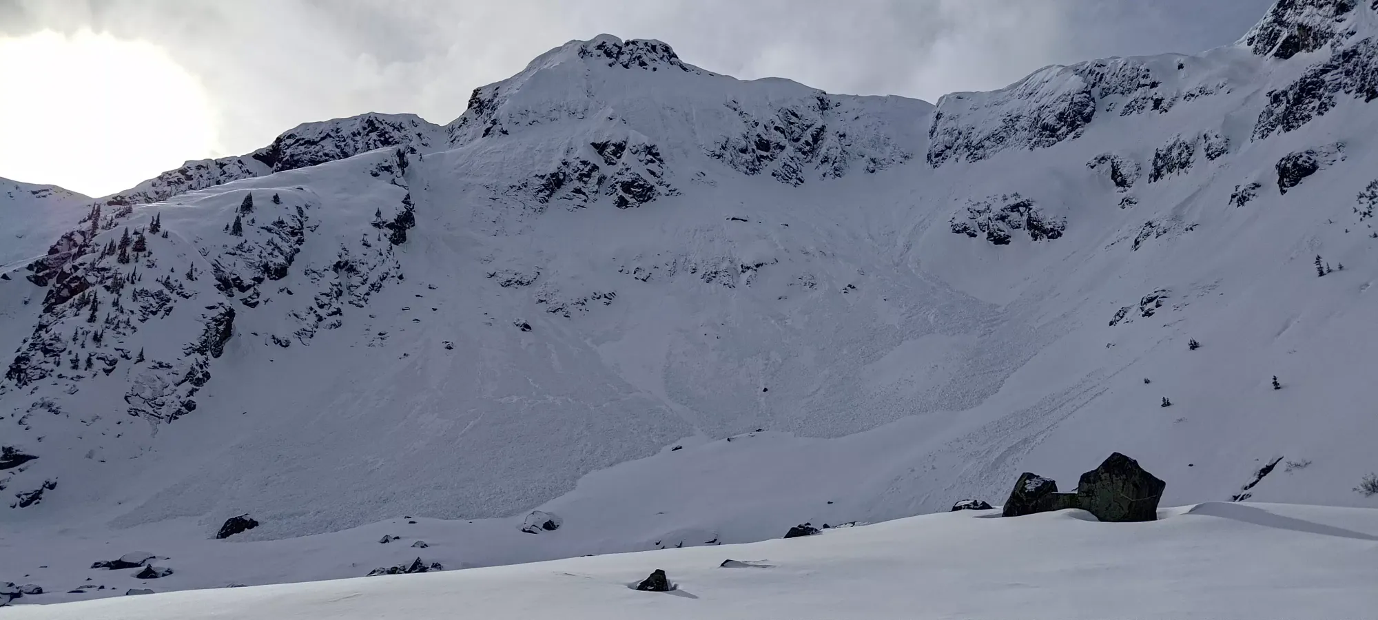
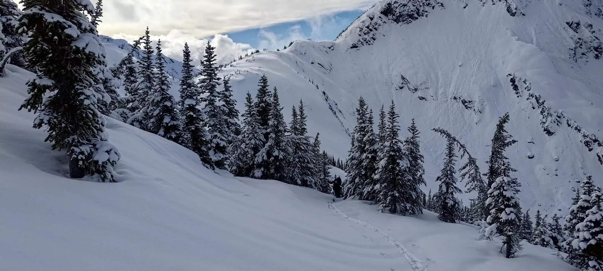
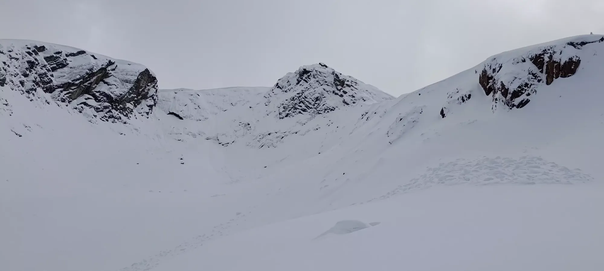
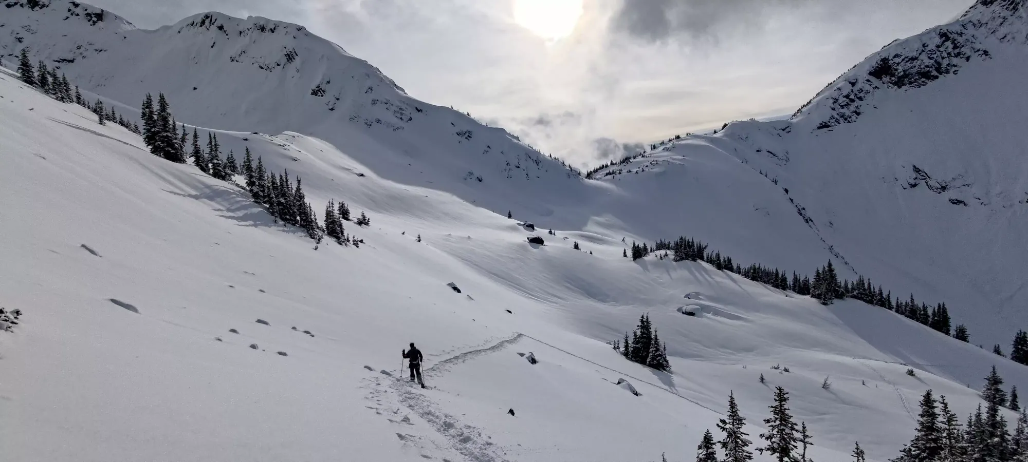
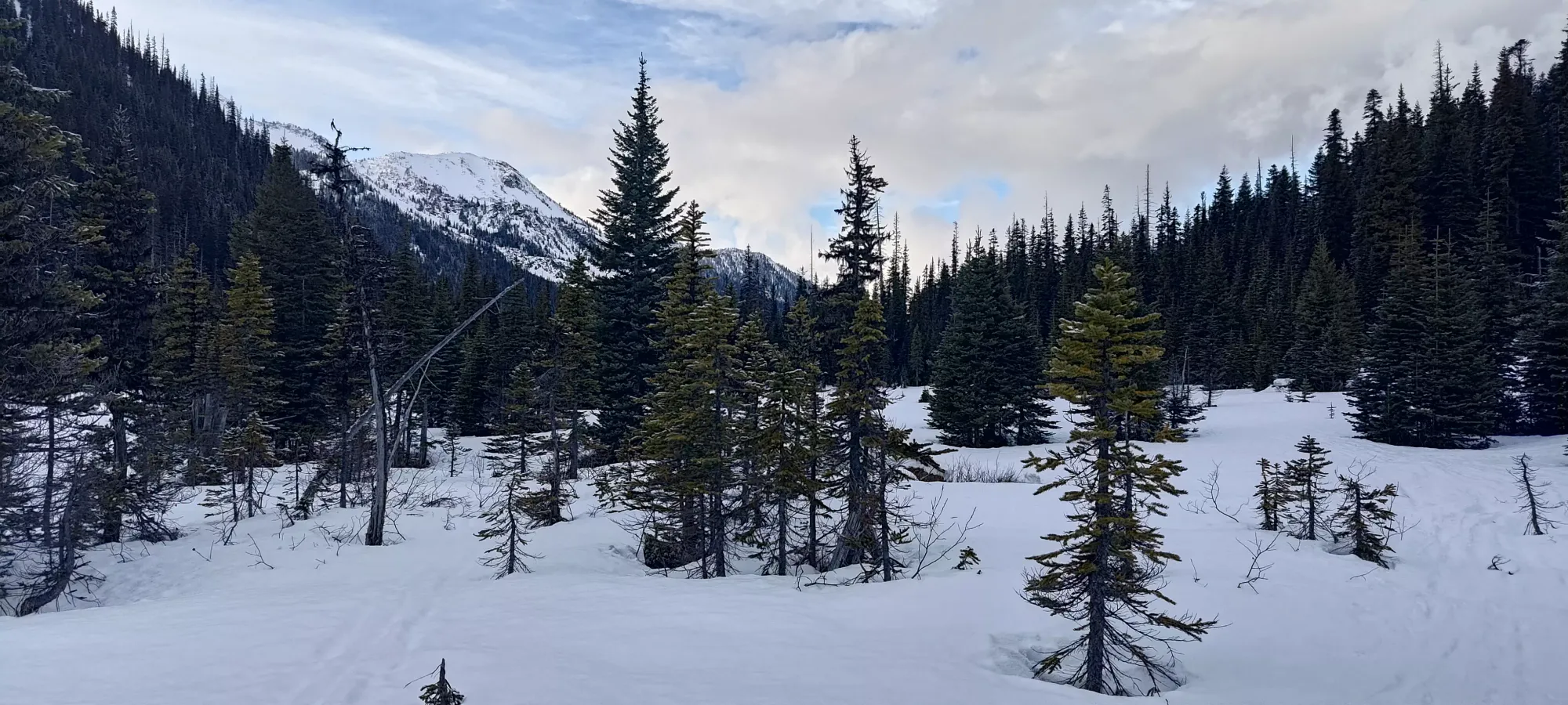
10 or 15 minutes after that, we finally broke out into some more open terrain again, and got some views of one of my favourite areas I've skied in so far. Everywhere you looked, there was awesome terrain. The southern end of Caspar looked great, and the slopes of Mount Duke had some pretty nice looking steeps (and plenty of debris from the week). Plus, we knew that Greifswald and Kosegarten (the peak with nice snow we saw earlier) were behind. We debated trying Duke, but decided against it, since the ridge would be fairly lengthy, potentially quite challenging, and it would involve some fairly steep skinning and/or climbing to access, and we didn't really know the state of the upper snowpack yet.
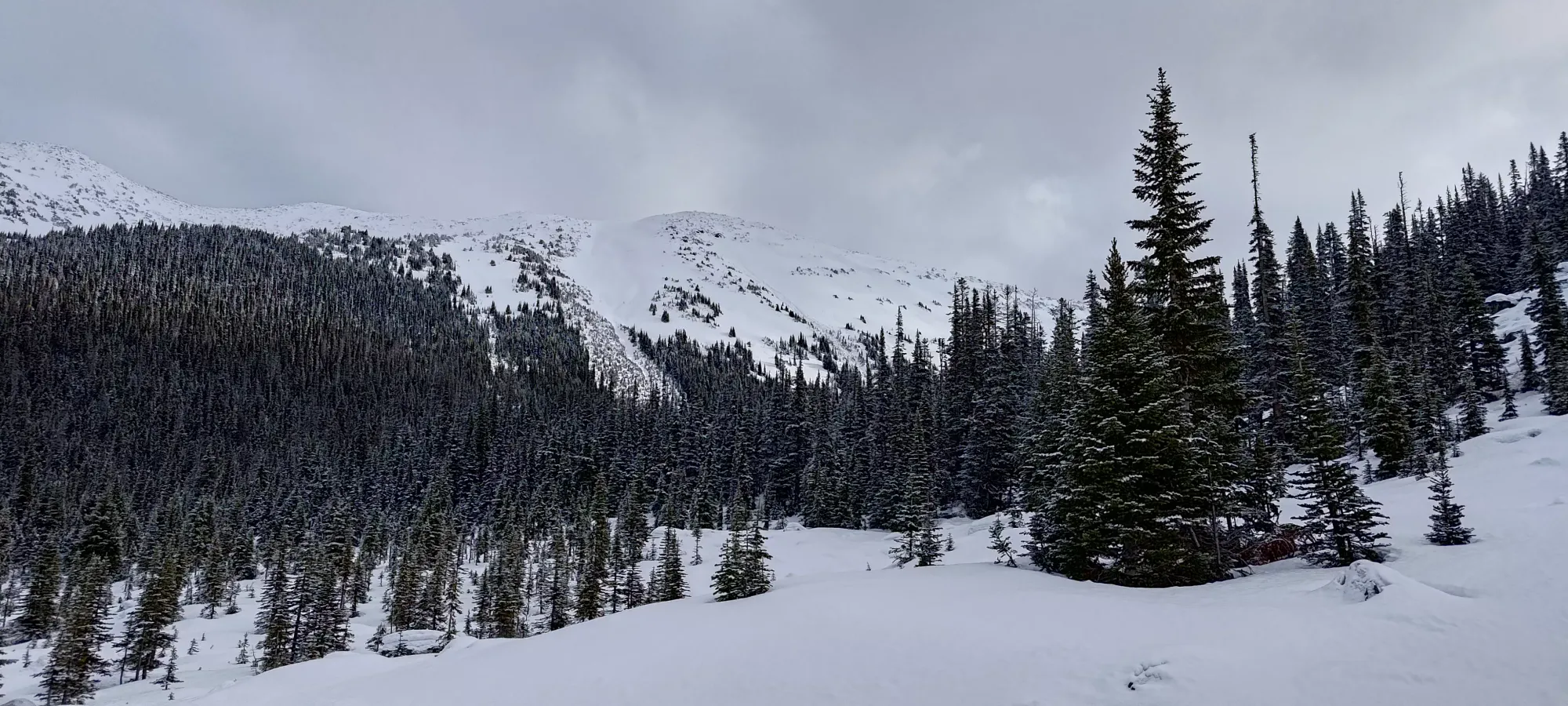
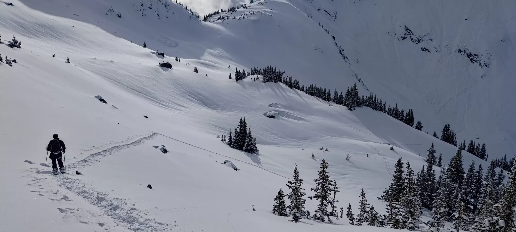
From there, we curved around the E ridge of Mount Duke, and weaved through the not-too-dense forest trying not to lose elevation until we found some tracks once again just above Caspar Creek, and followed those until we started moving more south instead of east, where the tracks stayed closer to the creek (but still in the forest), and we decided to explore an open drainage area instead which looked like it might offer a nicer descent later on.
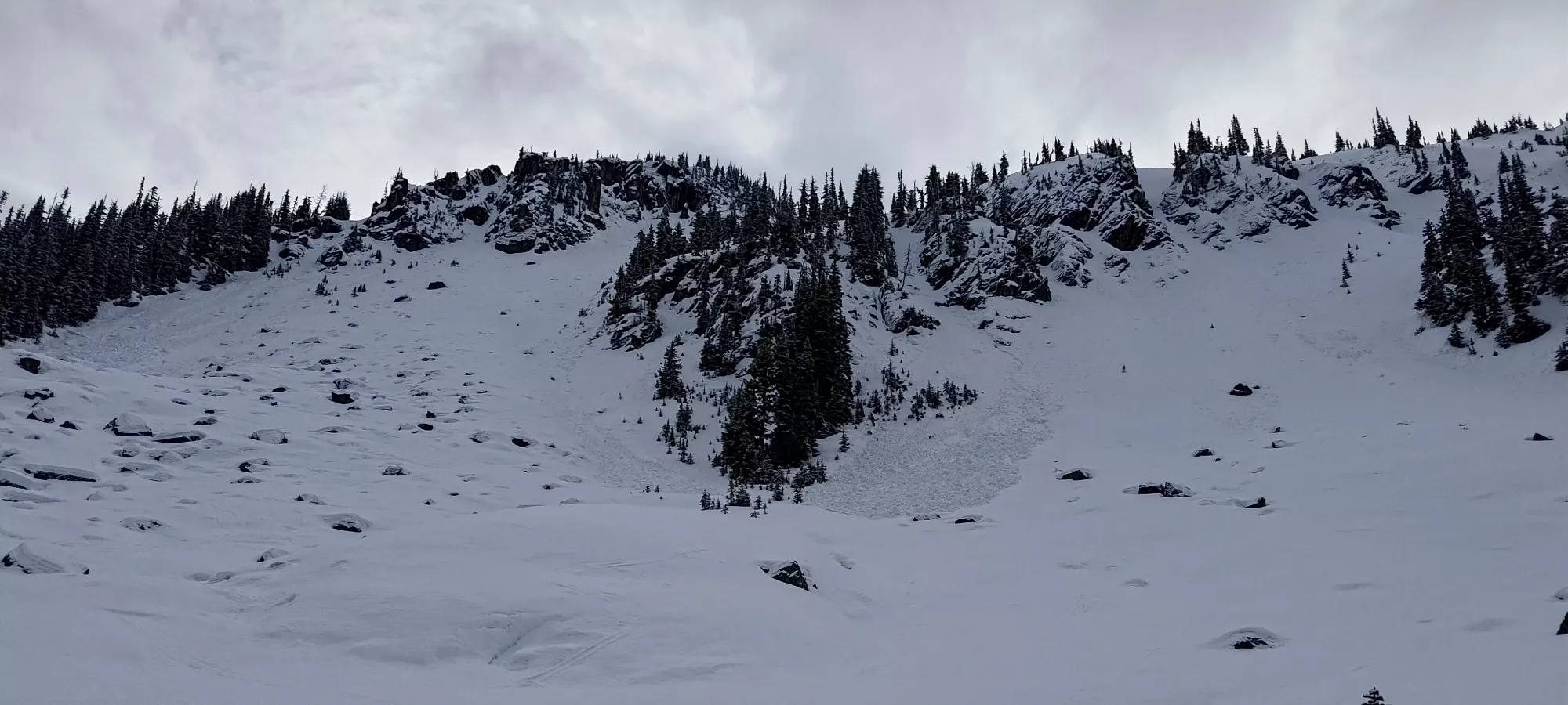
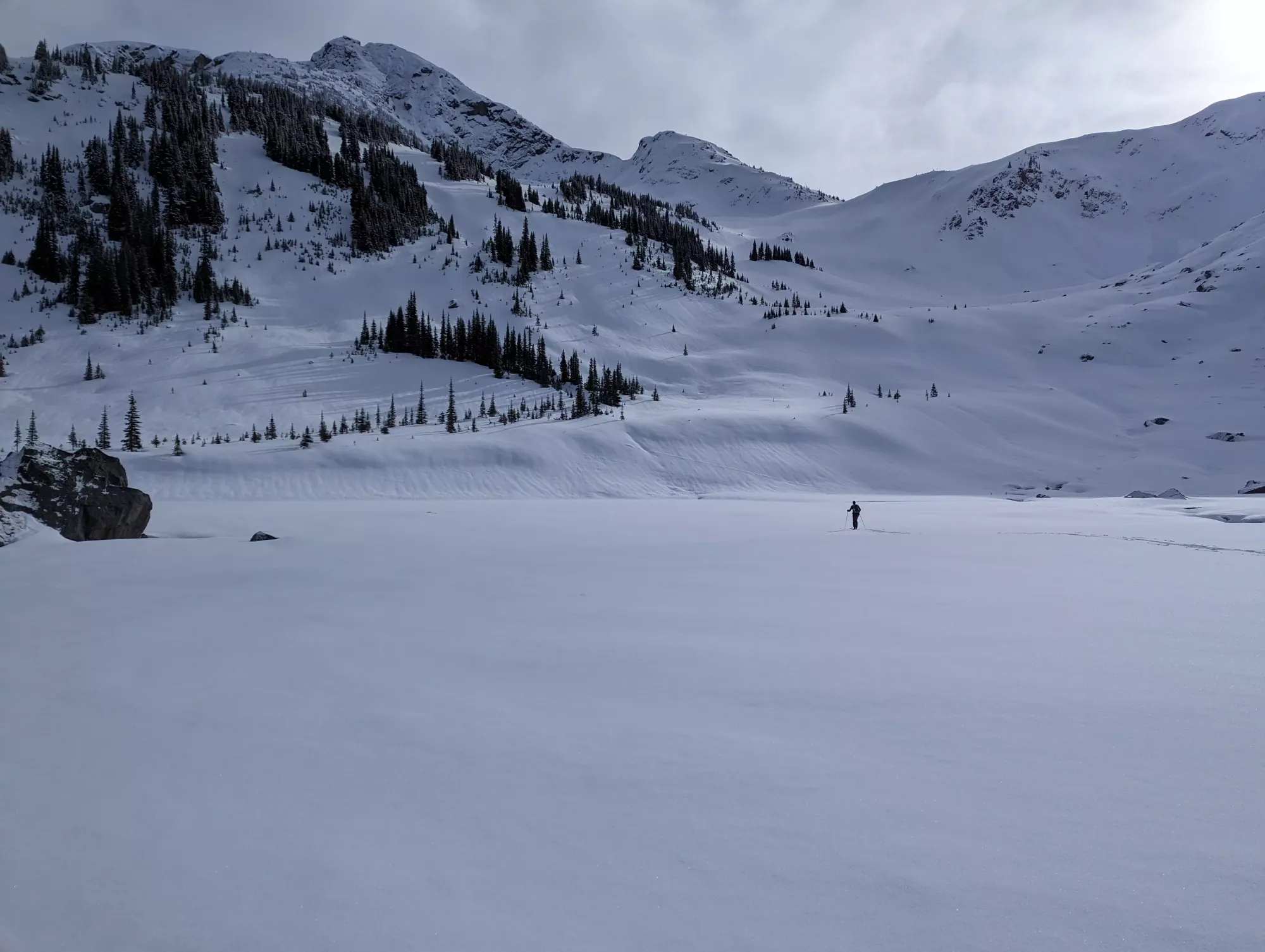
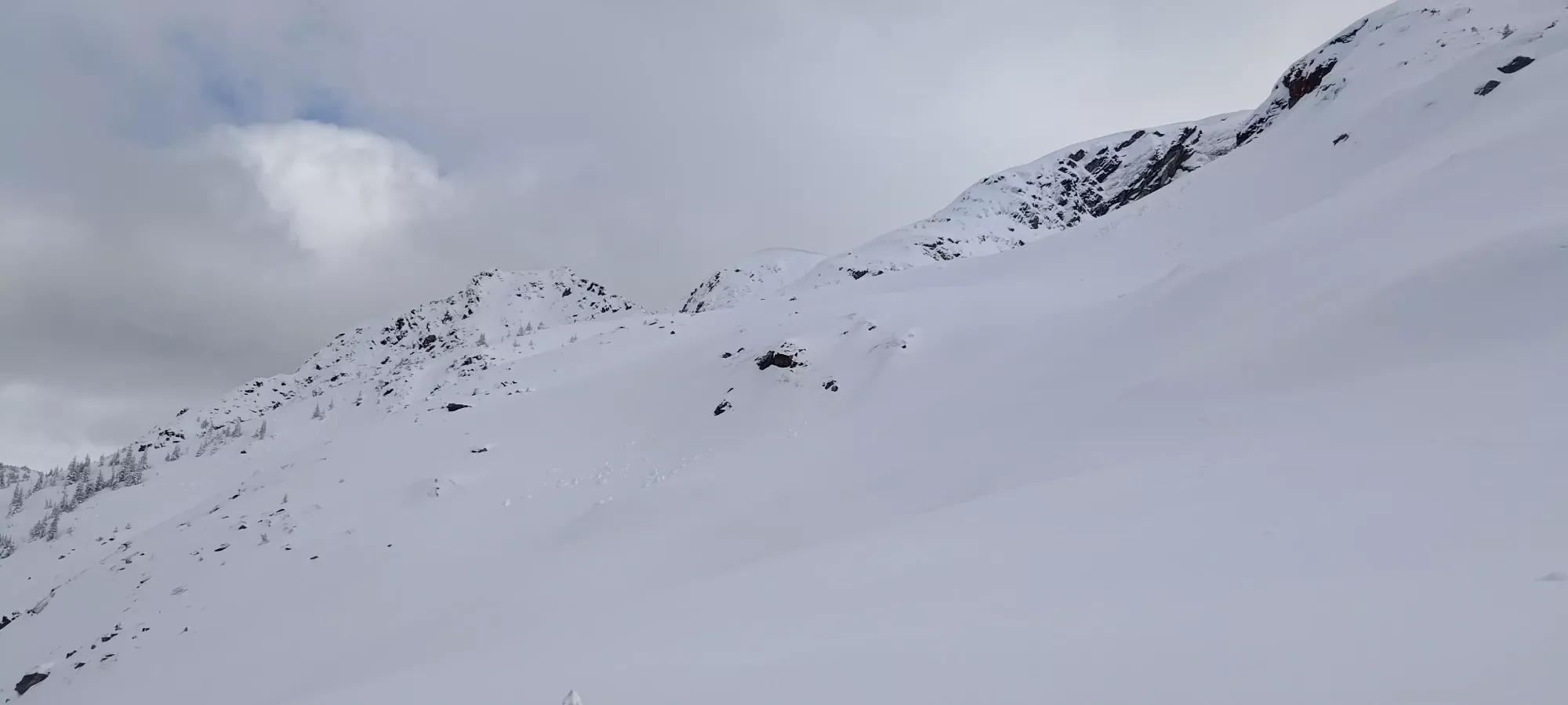
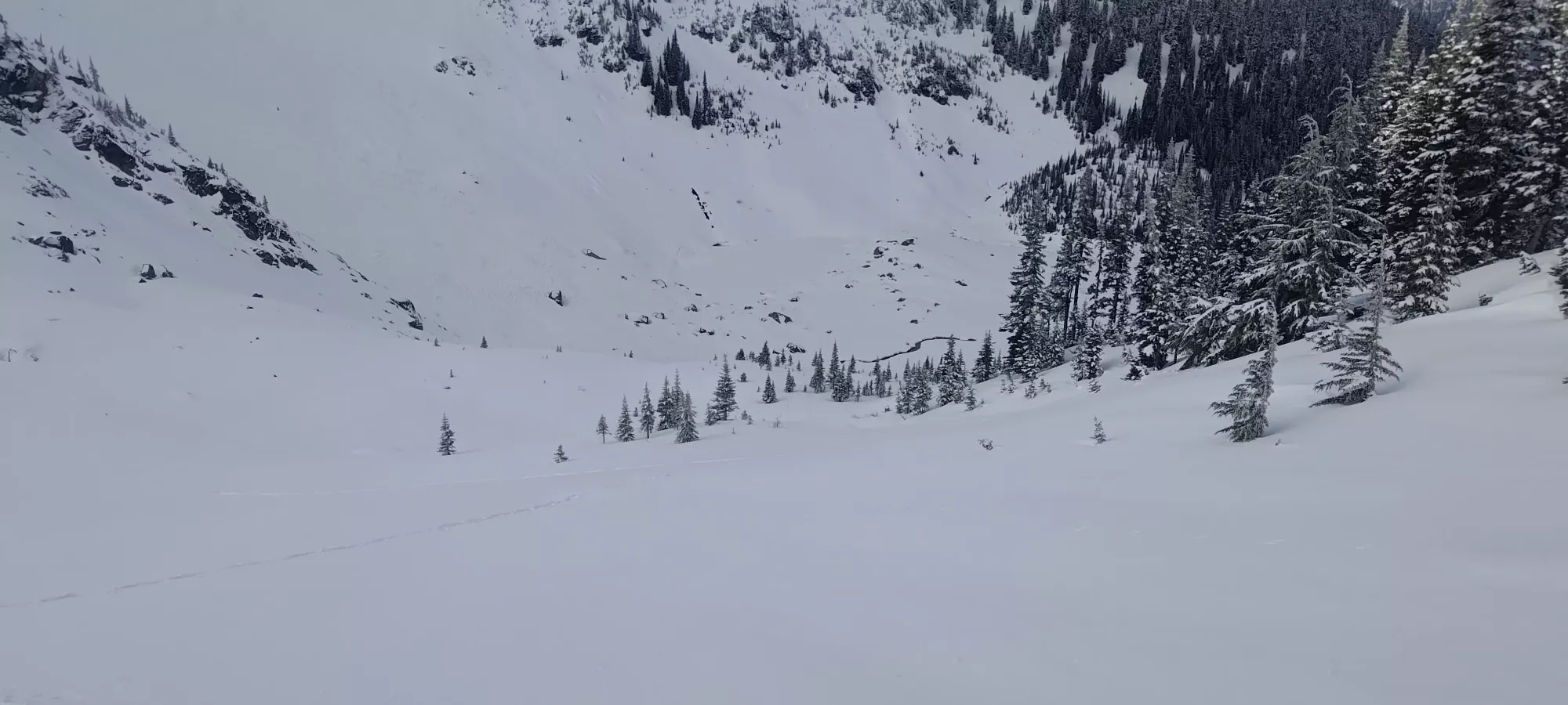
20 minutes of easy skinning later, we ended up just above the lake on the west side, closer to Greifswald. Upon closer inspection from this side, we decided that Greifswald looked quite steep, and we couldn't see a line up that would be safe with our limited knowledge of the snowpack, and also were unsure if with the super-hard crust we could succeed in climbing the steep sections without an axe and crampons, which we'd not packed for the day. So, we descended the short distance to the lake, and crossed it to start heading up the much easier slopes of Kosegarten.
The lake was frozen well, and we had no issues crossing it. There were a couple open spots, but what wasn't open was quite sturdy.
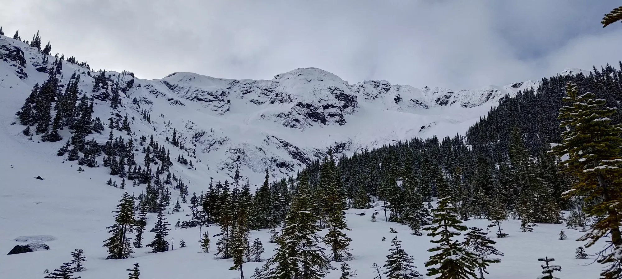
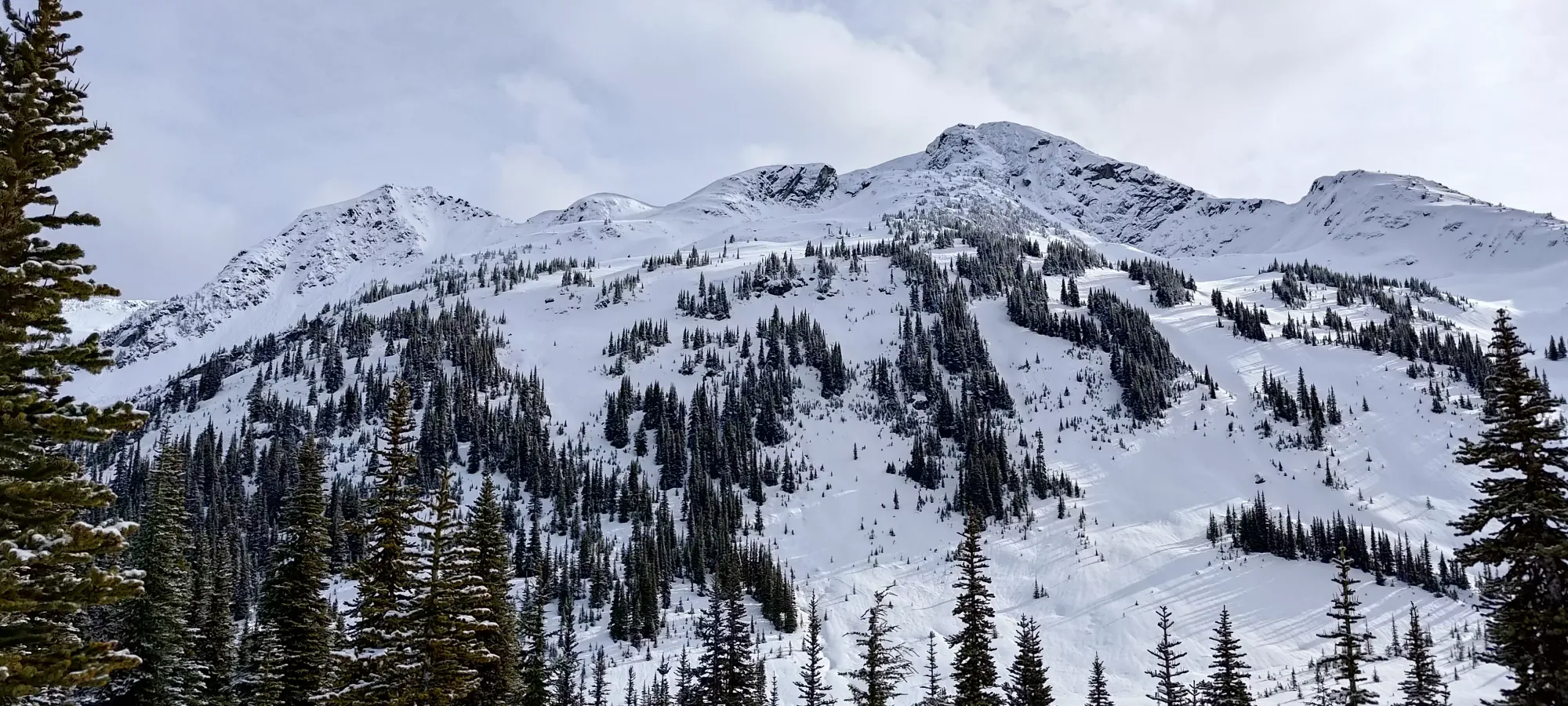
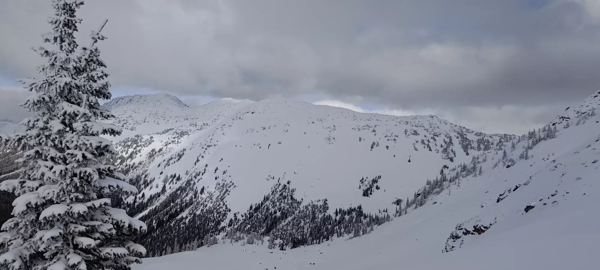
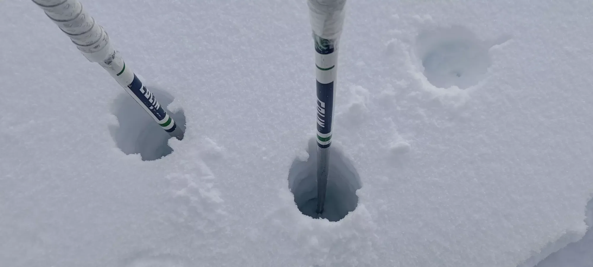
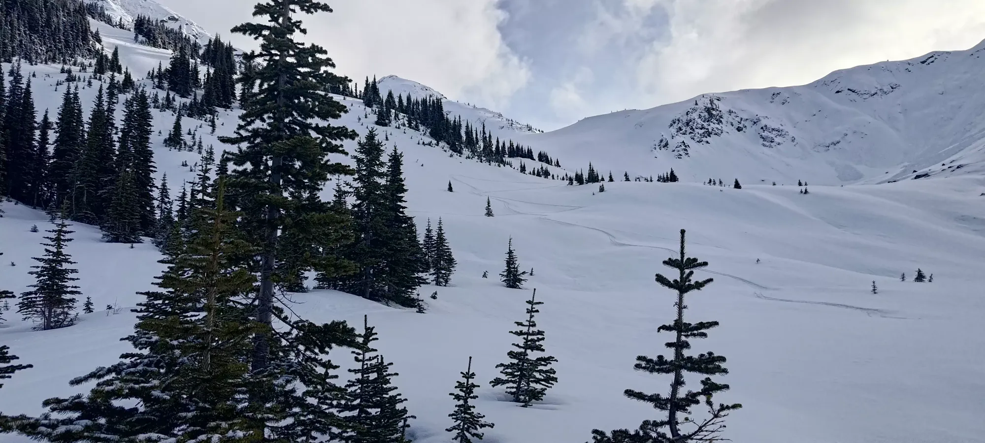
At about 12:40pm, we finally were on the other side of the lake, and ready to start gaining elevation in earnest, and not just that, but actually getting into good ski terrain instead of just "random forest" or "frozen roads"! I observed isolated pockets of a punch crust where the sun was warming alpine slopes, but for the most part, we actually had powder!!! The higher we got, the deeper it was, and my stoke levels kept rising. Logan was slowing down, though, so after the first one or two hundred metres of gain, I was starting to wonder if we'd be able to summit time-wise. Given how bad the snow was almost everywhere, and that we found good snow+terrain, though, I wasn't too worried, I'd already decided the day was a success.
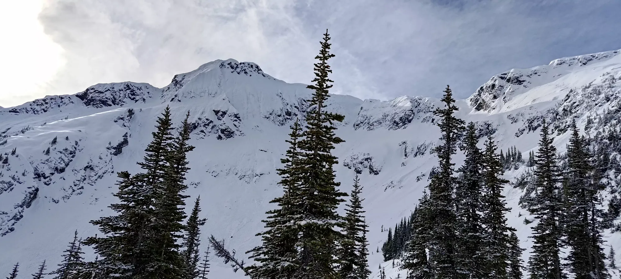
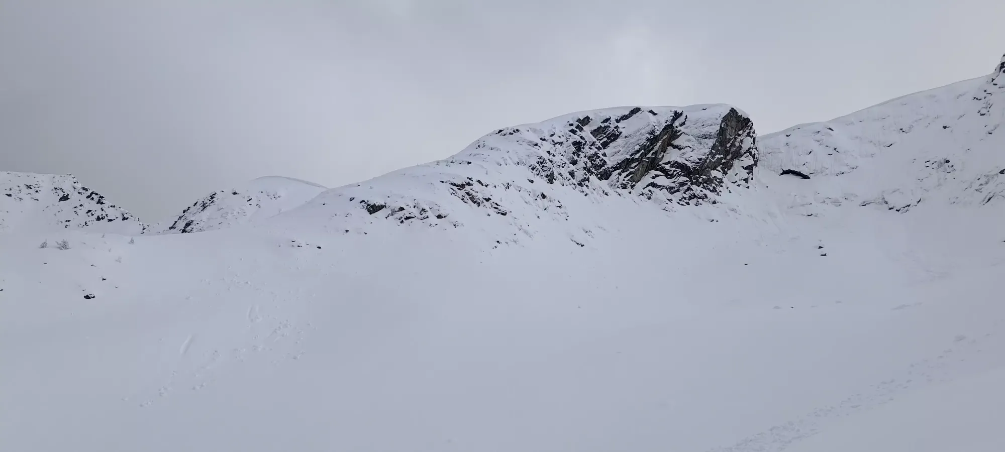
In 35 minutes, we skinned up the shallow bowl and up to the treed ridge seen on the left of the picture above, where we cut onto it and saw a potential path up to the summit that would involve a steep side-hill across another bowl, but would avoid the climbing up to the notch we'd seen on the other side, so we started heading that way.
10 minutes later I got onto a nice resting spot at about 2075m, where I waited for Logan to catch up, who was continuing to slow down. Here, we talked about our options, and decided that it'd take another hour maybe to summit at the pace we were moving, and that would've pushed things later than either of us wanted (Logan wanting to get back home to do things people with a life do, and me wanting to have time to drive out east afterwards to my other objectives for the weekend). So, we made the call to not push for the summit, and instead I ripped my skins, and we set off at about 2pm.
The snow up there was fantastic, I didn't even notice the crust until about 1800m, where it was still a pretty fun dust on crust. I descended in a few sections, letting Logan get down a good amount each time to enjoy my turns but still not get too far away from him. Having so much open, safe, and powdery terrain was a true delight, and I am almost glad I didn't summit, as I get to ski this again (or maybe some of the steeper terrain if conditions permit). We got down to the lake in about half an hour.

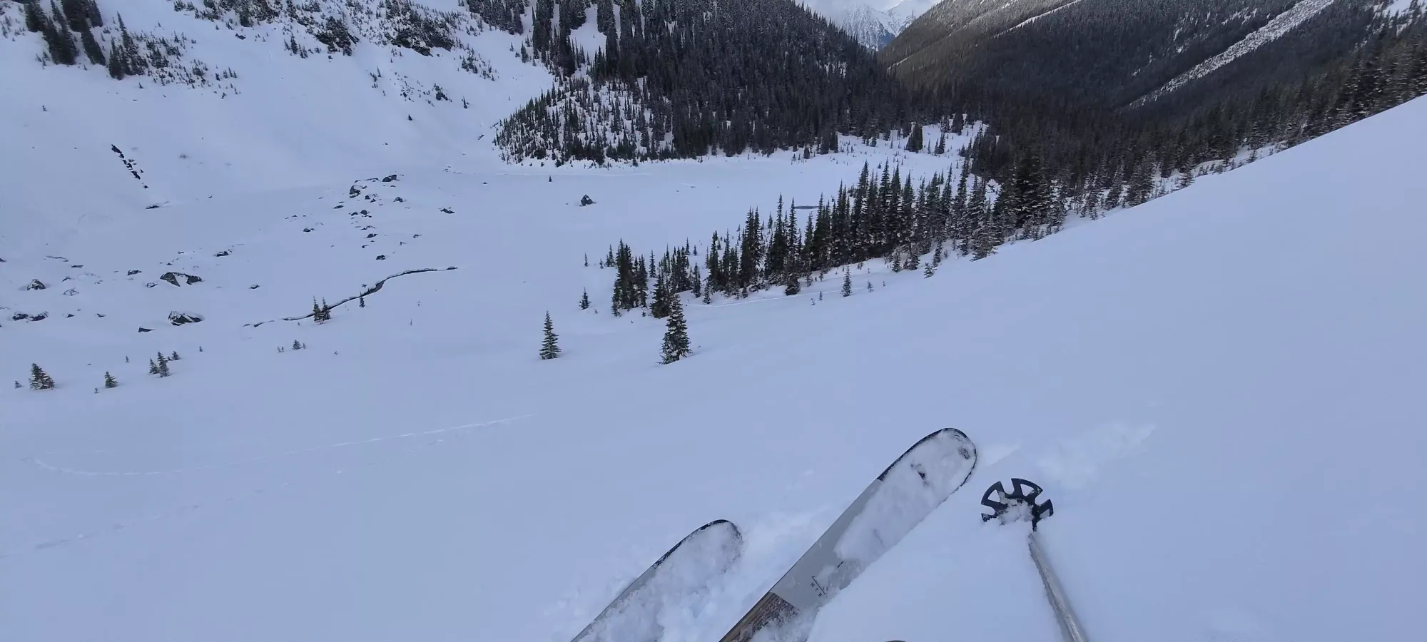
We decided to follow the creek a bit more directly than the way up (avoiding climbing up into the forest unnecessarily), which worked pretty well. Eventually, I had to walk about 20 steps to get over into the open terrain we'd found on the way up, but that was barely more than flat. Sadly, there I managed to get a ski randomly stuck in a pocket of snow and got twisted around it on my bad ankle, which hurt quite a bit, and didn't go away. That made skiing out a lot less pleasant, and I didn't have the same power in that leg anymore, but thankfully I was able to keep going. It was just in the sweet spot of "too slow for a binding to release, but I was still injured enough for that to hurt/aggravate it". After that, I skied a bit more gingerly down to the creek basin, where I put my skins back on.
Logan had his own bit of disappointment here as well, as he realised that he couldn't find his car keys! Turns out he had them on an accessory biner on his belt, and at some point they must've come out. With my ankle, I couldn't come back up with him to look, so he made the call to come back out with me instead of looking for them himself, and we pressed on after 15 minutes of checking all the pockets to make sure they weren't just somewhere else on his person.
In about 15-20 minutes we got back to the downhill terrain from the east ridge of Duke (could probably have ripped skins beforehand, a lot of that skinning was downhill, but it was unexplored and mellow, so I just decided to prioritize speed), and then I ripped my skins for the short descent to Caspar Creek. Crossing that was smooth, and then it was a short, if annoyingly undulating skin to the main open flats where the sled tracks had ended earlier.
Here, I decided that transitioning was a pain, and since Logan had already booted to this point in the morning, that I'd just bootpack myself and keep my skis ready for the downhill parts of the road. That was pretty effective, and we got back to the sled tracks at the end of the spur in about 15 minutes.
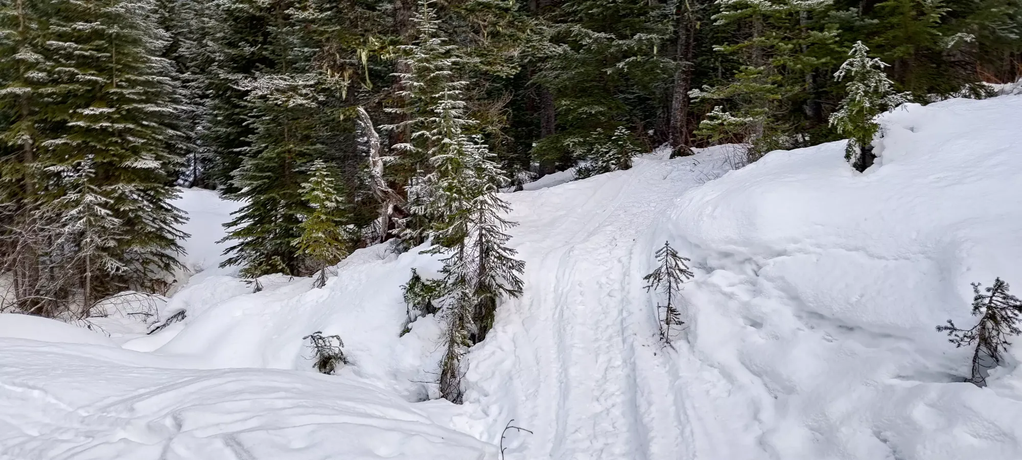
Once we got on the road (and walked up the short ascent to the spot where we decided not to go up Caspar), I got to put the skis back on, which was a welcome change. At first, I skied down in short bursts and waited for Logan, but then realised the breaks were making my ankle worse, and also that it might stretch into nighttime, and I didn't want to deal with a headlamp if I didn't have to, so I decided to (with Logan's blessing) just ski out at my own pace, and let him catch up at the car. The total time spent doing this was about 50 minutes, covering nearly 7km. The ski out was actually alright, despite being super crusty. The creek crossings were visible enough to be able to stop for them, and it was overall fairly downhill, with me only needing to walk up one section in my boots on the main forest road.
I got back to the car at quarter after 5, and Logan rolled in at about 5:50 or so, so I had a lot of time to de-gear. I didn't need quite that long, but getting out of my left boot was a slow and excruciating process. I was quite worried all night that I'd re-injured myself, even going as far as to use crutches once I got home. Thankfully, after cancelling my Sunday plans and sleeping in, things are already a lot better, so I think by next weekend I'll be back to "my new usual", at least 😅. It's almost funny how with all the things I've done so far this winter, what ended up getting me was totally mellow, unremarkable terrain you could find on a blue run in a ski resort. I was at least lucky enough to get some good snow on an otherwise poor weekend before that, at least, and I am optimistic it won't be a significant hindrance. At least if I can restrain myself long enough to let it heal properly 🙃.
As for this area...
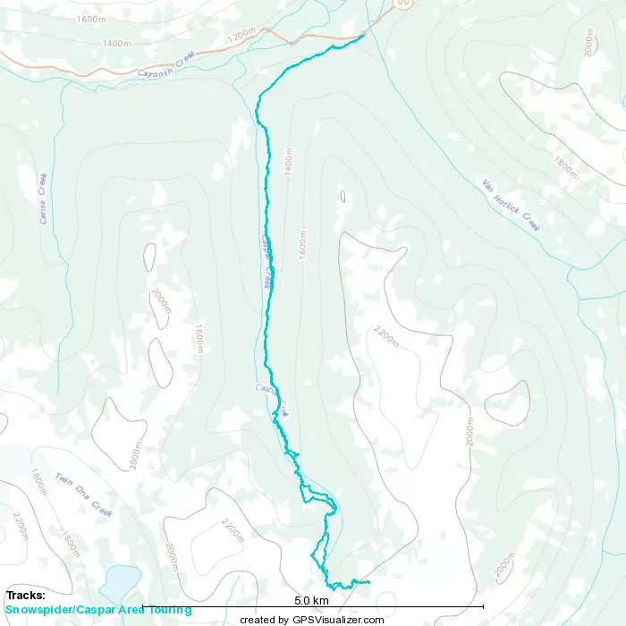
GPX Track + Map