Big White Mountain - January 27 2024
An easy walk up from the top of the Big White Ski Resort, and a p1000 to boot. Might have nice views if you don't go in a total whiteout


North Okanagan Highland, Big White, BC
2315m
With the horrible snowpack of the 2023-2024 season still going strong (at sucking), apparently just bad approaches, sharks all over the mountain, and frequently sticky snow wasn't quite enough for the El Niño gods to be satisfied, so we were blessed with a very intense atmospheric river that made the backcountry super unsafe (and unpleasant), and the resorts a miserable place to be, so I started getting desperate and looking into places I might be able to drive to and find "not terrible" conditions. It turns out I had some friends who got a place in Big White for the weekend with an extra bed, so after some quick weather-checking, I was in. The expected forecast was still pretty warm and cloudy, but it was at least "still snow" for Friday/Saturday on most of the mountain, and I figured I could link up Sun Peaks as a detour on my way back home for an ultra to "justify" the trip out.
And so, I drove out Friday afternoon after work, experienced the joys of the ridiculously foggy descent down Highway 97C into Kelowna, and got into our Airbnb with time to actually hang out and even sleep before Saturday!
We spent the morning and early afternoon skiing, which was actually surprisingly great! It was my first time at the resort, so I didn't know what to expect other than "wet snow and probably poor coverage" based on the weather and overall trends, but it turns out Big White got the most snow overnight of anywhere in BC (10cm), and it was just dry enough to be more creamy than sticky, so it was actually tons of fun! The vis was pretty bad, but the good news is there's a ton of good tree skiing to be had, so we had a great time nonetheless.
The group started getting tired in the afternoon, though, so I split off when everyone else went down to the Airbnb to take the T-Bar up to the highest point of the resort, about 2275m. Once I got up, I discovered that not only was there basically 0 vis, but also a healthy dose of wind, so I decided to use the ski patrol hut as a wind buffer as I got my skins on. They saw me and asked where I was going, which I figured I may as well get out of the way ahead of time instead of having to deal with getting banned from the resort or something if they were going to cause a stir.
Thankfully, they were actually super chill, and just let me know that the "official" uphill route was closed (understandable), so I had to skirt around the resort boundary to get up+down, and they directed me on where I should go about doing that. Major props for not just shutting everything down. That made the ascent a bit longer, but not meaningfully so. I basically went to climber's left of the chairlift, skirting the ski patrol rope until it disappeared into the snow, and then cut up the east side of the peak, nothing really notable to be honest. The wet snow combined with the winds resulted in a lot of icy snowdrifts that were a bit annoying to skin over, but it was all still easy terrain. The crux was probably just wandering about near the top in 0 vis until I managed to stand on the "correct" bump that lined up with maps and felt higher than the other ones. I only took a couple hasty photos, then started walking back down, not even bothering to remove my skins, since I couldn't confidently ski down and trust I'd not go over a wind lip, cliff, or anything else untoward.
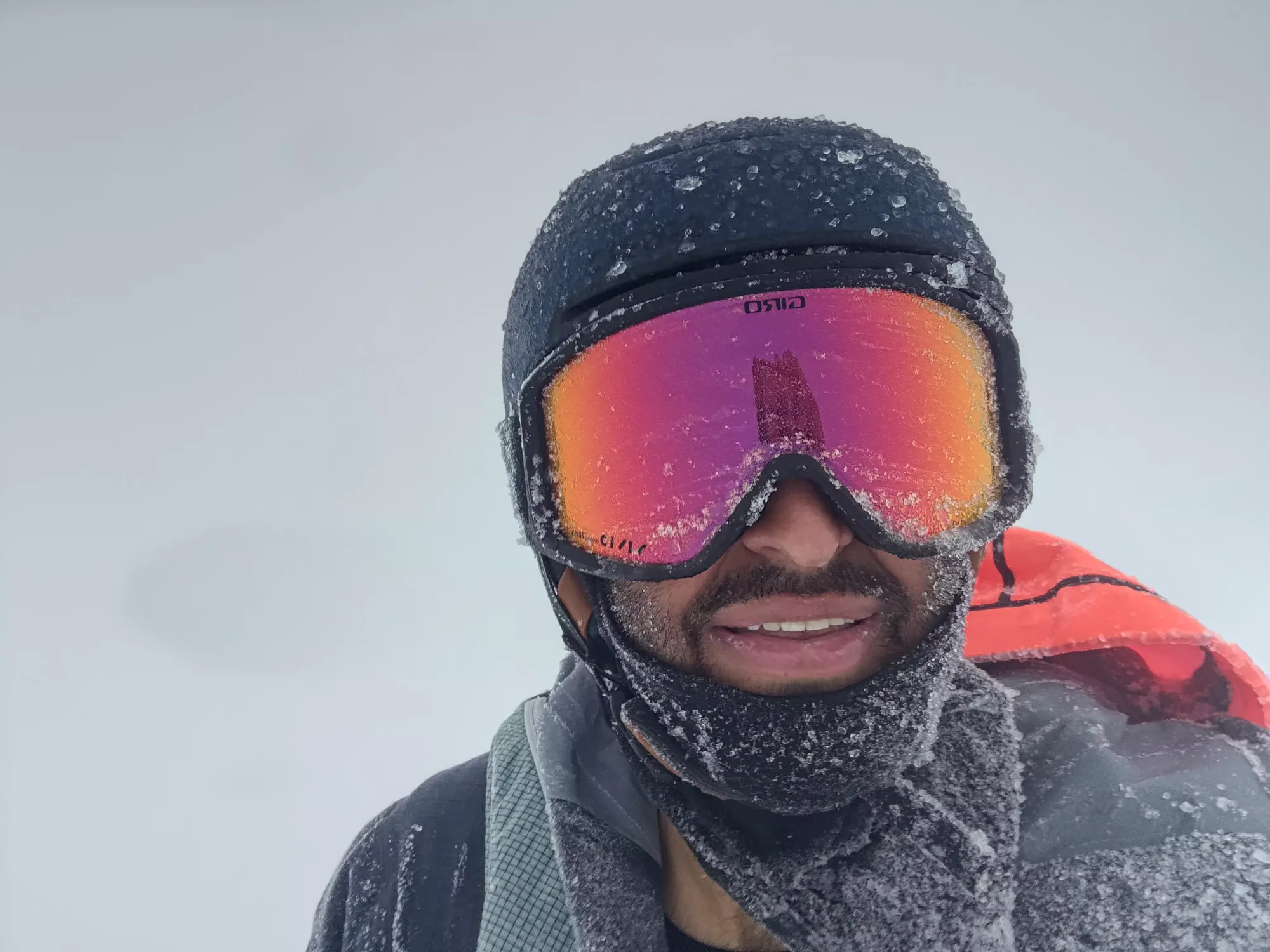


Such glorious views
Even though the round-trip was barely over a kilometre and like 50m of gain, it took about 25 minutes up and 20 down to get back to the T-Bar due to how bad the vis was, and the fact that I couldn't take the most direct line. But hey, I got the p1000, so all's well that ends well. I would've liked to get to the slightly lower east peak, which is supposed to have some actually fun ski lines, but I'll have to save that for another trip where the vis is actually, well, extant.
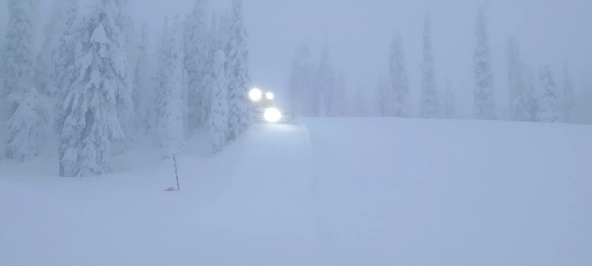
Once I got back inbounds, I stripped my skins, fought with my zippers that were nearly welded shut by ice (skiing in wet conditions all day then going into the cold wind did not do nice things to my equipment), and planned out the easiest way down in the lack of vis. I just took the greens that took me back towards our Airbnb, since the vis was poor and light dwindling, and I had already skied plenty of harder terrain earlier in the day. I saw a snowcat or two on the way out, but they were unperturbed by my presence.
With that done, I got to enjoy a nice meal at home (I managed to arrive just as it was ready, definitely intentional timing), warmed up in the hot tub, and got to hang out for the rest of the night before my long day on Sunday, which was going to be driving out to Sun Peaks, going for Mount Tod there, then driving back to Squamish in time for work Monday. But that's a problem for future Tareef.
I would say this is a nice peak to get while skiing since it makes the ascent basically trivial, and the resort was pretty nice. I would recommend having at least SOME visibility to make it less miserable though, and ideally a decent snowpack so you can traverse to the east peak and hit some steeper lines down that. But for me, it was better than the alternatives at home, so I consider that a win.
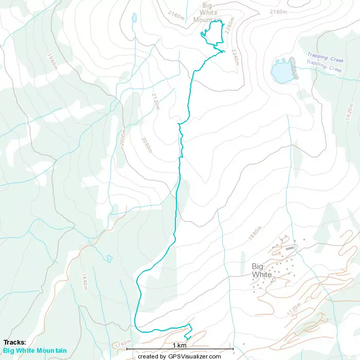
GPX Track + Map