The Gargoyles - September 5 2022
After a grueling Saturday, time for a 30+km day with almost 2000 gain because I hate myself, apparently

Garibaldi Neve, Squamish, British Columbia
1823m
After the grueling grind that was traversing from Mount Strachan to Mount Harvey and bagging everything in-between on the previous Saturday, I got the bright idea to punish myself even more. Technically, I got the idea in the middle of that, as I started that hike at 1am on the Saturday and day passes need to be reserved 48 hours in advance, so I actually stopped partway through that to get the pass for this endeavour. The plan back then was "with a day of rest, I should be able to do SOMETHING". So I figured all of Diamond Head, The Gargoyles, Columnar Peak (I was a cornice away from this in June), and Opal Cone exist there, so I should be able to get at least one of them, hopefully more.
So, with a day of rest to let the rain do its thing, I woke up late on Labour Day feeling pretty good, and so after a relaxed breakfast, I hopped in the car and made my way to the Diamond Head trailhead. I made it there by 10:30 or so, and got started at 10:37. Not the earliest start by any means, but hopefully enough to bag some peaks without coming down in the dark, something I'd gotten a bit tired of, as too many outings had ended with headlamps recently.
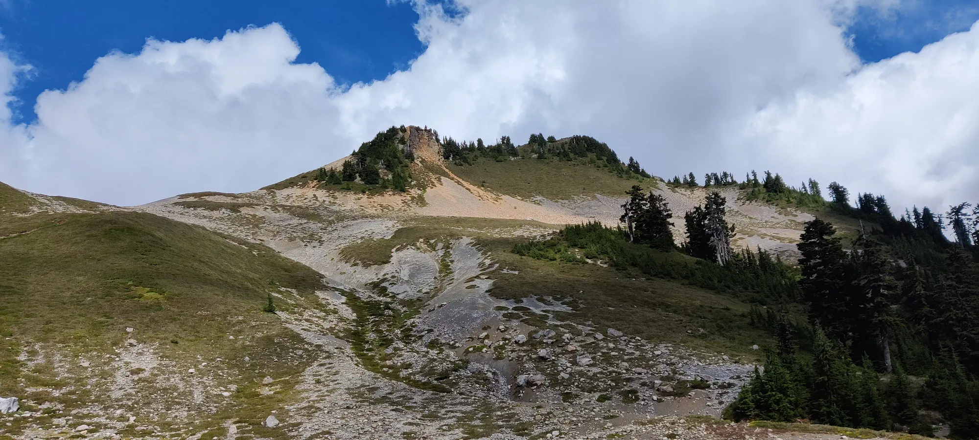
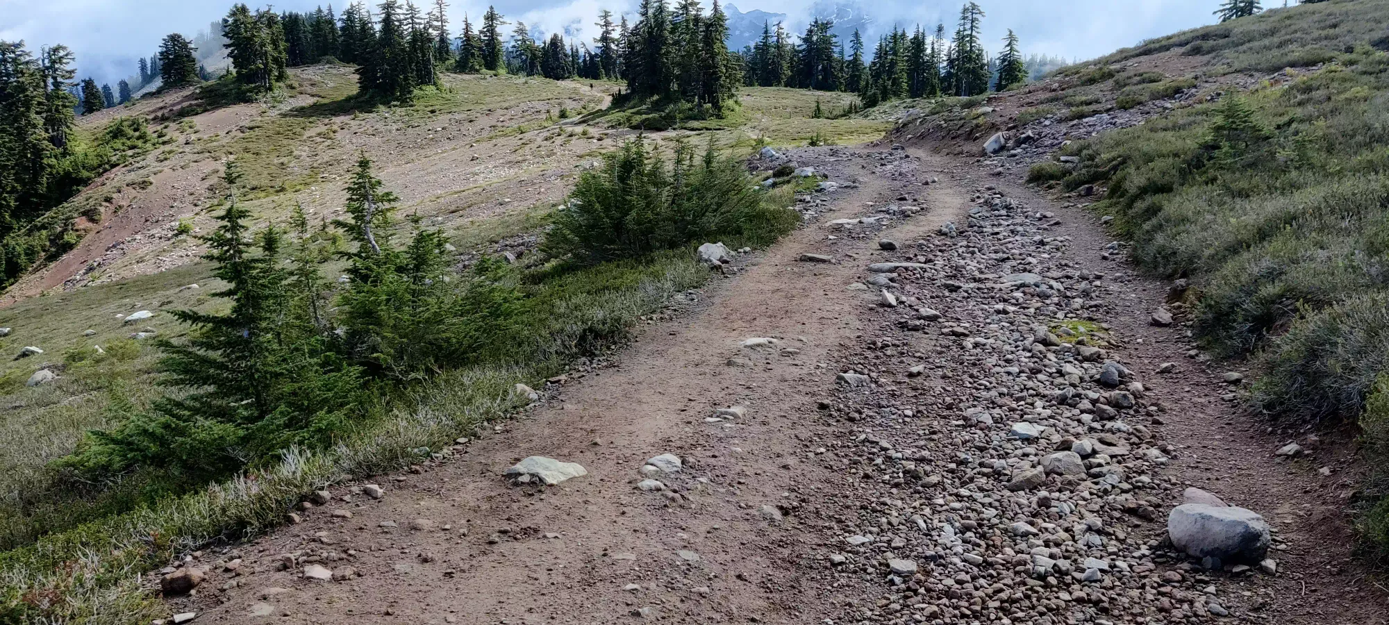
Since this was my fifth time coming up to at least Red Heather (although my first without snow), I wasn't interested in doing much other than getting up fast, so I put some music on and got to work. This means no picture breaks or anything for the first part of the hike, but I did put in some good effort and was rewarded with getting up to the hut in 51 minutes. Not bad, I think, for 4.4km and about 430m uphill. I'm no trail runner by any means, but I was happy with my performance. Sadly I needed to take a short bathroom break which took a few minutes off the time, but I soon set off toward Elfin Lakes, determined to get there in under 2 hours, given the day I had ahead of me. Thankfully, the terrain up to and past Red Heather is very even and gently graded, perfect for hiking, running, or biking up+down, so progress is quite efficient. I grabbed a quick picture or two along Paul Ridge (the high ridge between Red Heather and Elfin Lakes), though they were hasty so forgive the quality. I was a man on a mission.
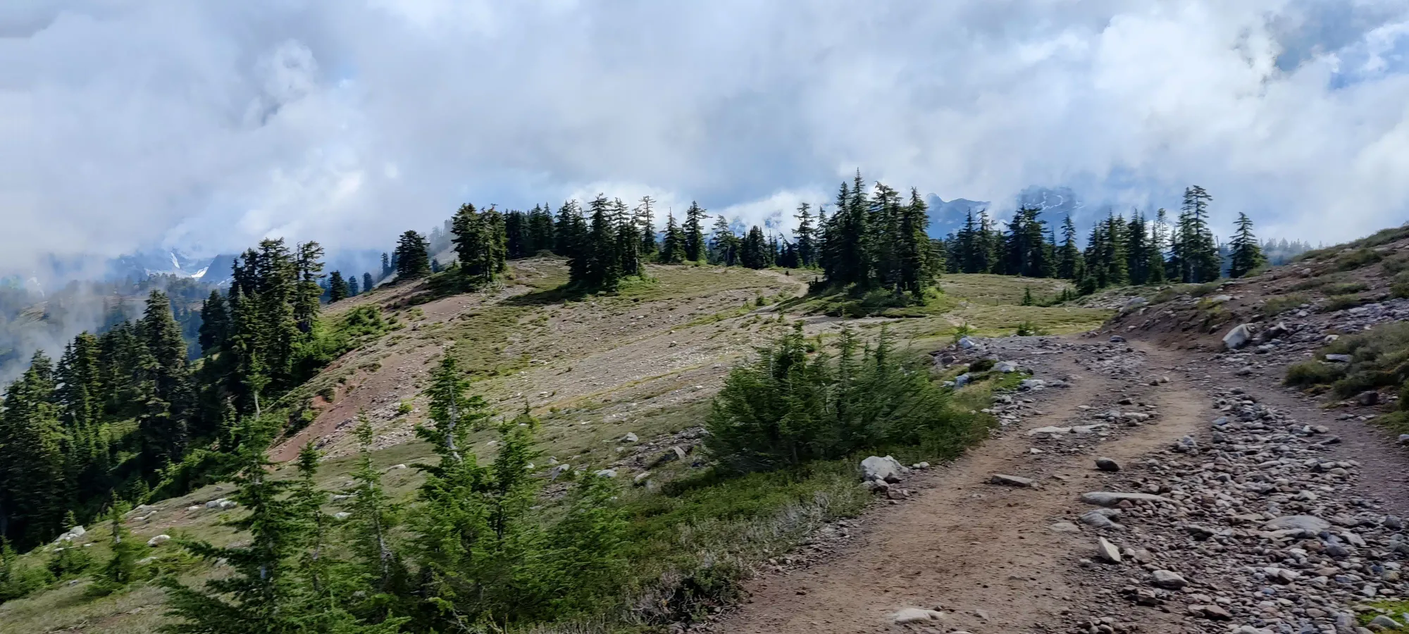
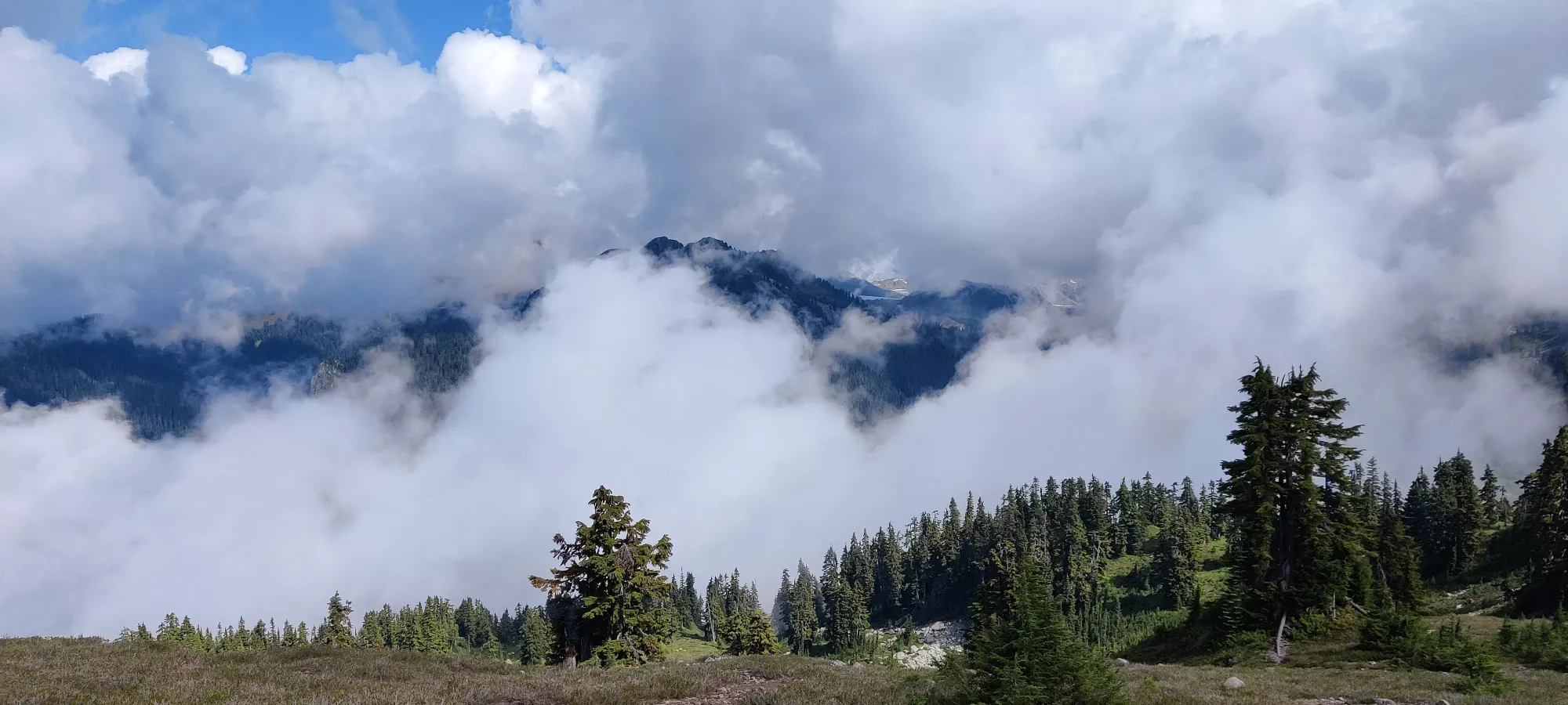
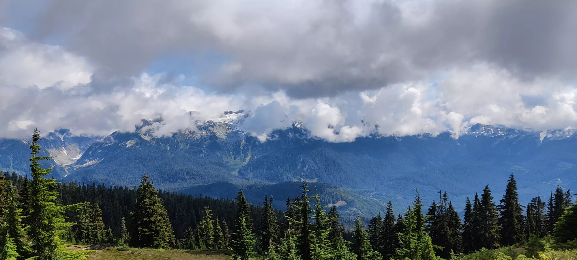
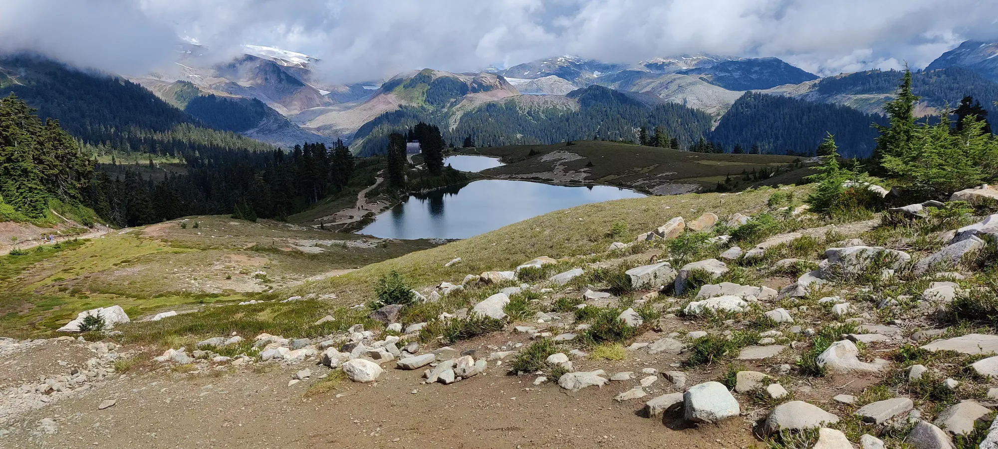
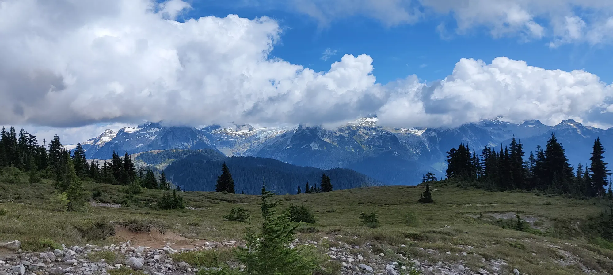
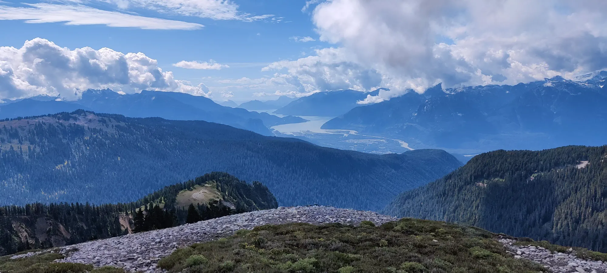
A bit closer to the lakes, the clouds lifted a bit, and I got a better view of where I was going. They look a lot different compared to when I have been there in winter or spring.
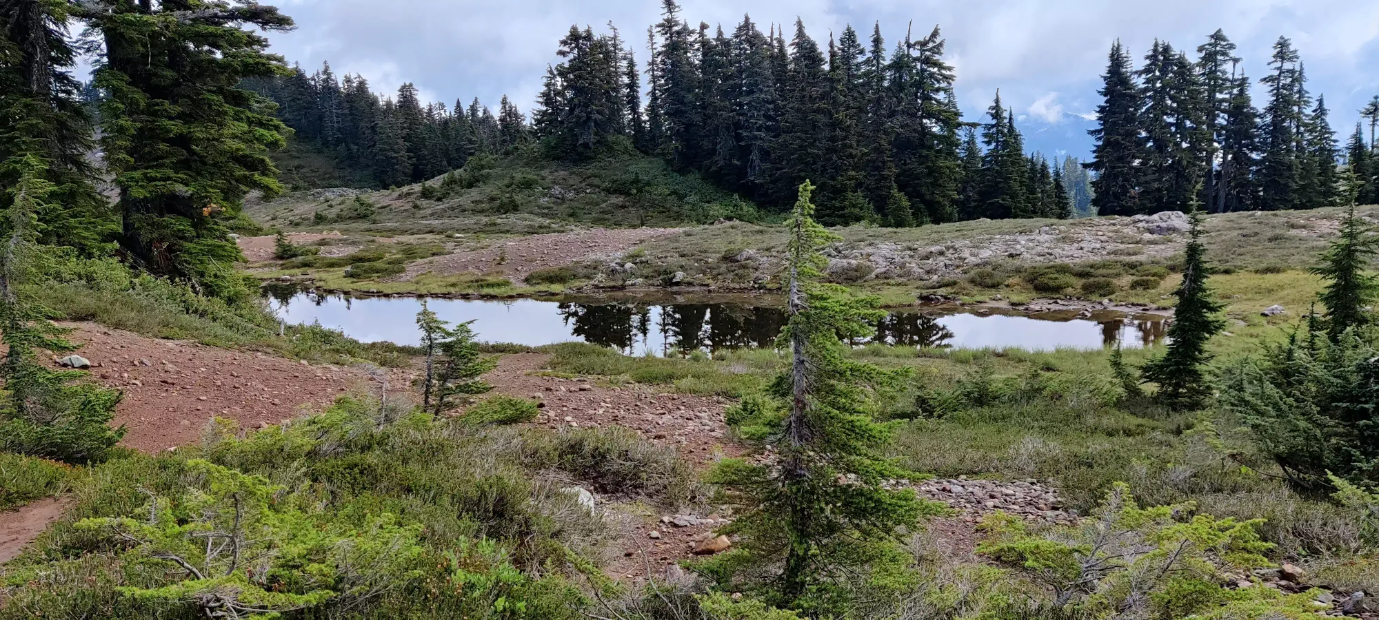
I continued on at my steady pace despite the few pictures I managed to grab, and made it to Elfin Lakes in about 1:45. I was pretty stoked and since I wasn't yet dead, I didn't linger, wanting to test how much I could push before my stamina ran out. Plus the lakes aren't so much "bright glacial lakes" at this time of year so much as "pools of water", so I didn't feel compelled to linger.
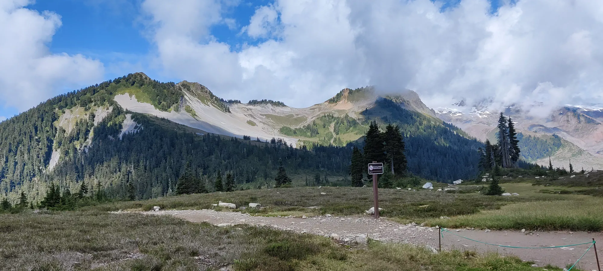
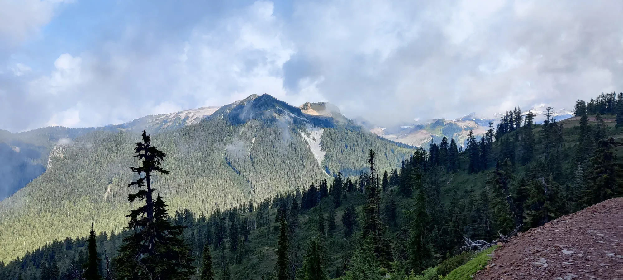
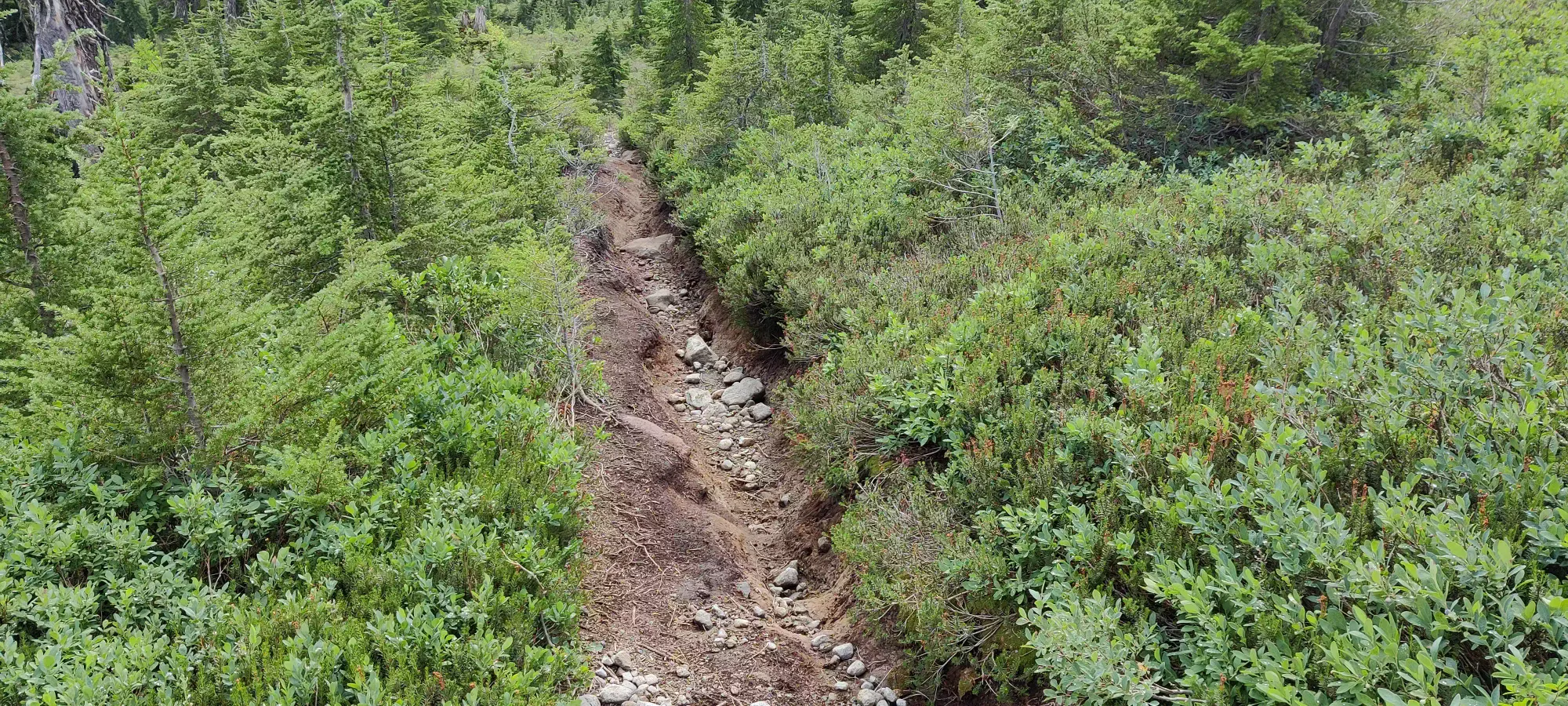
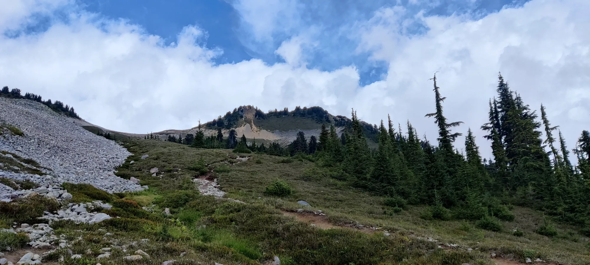
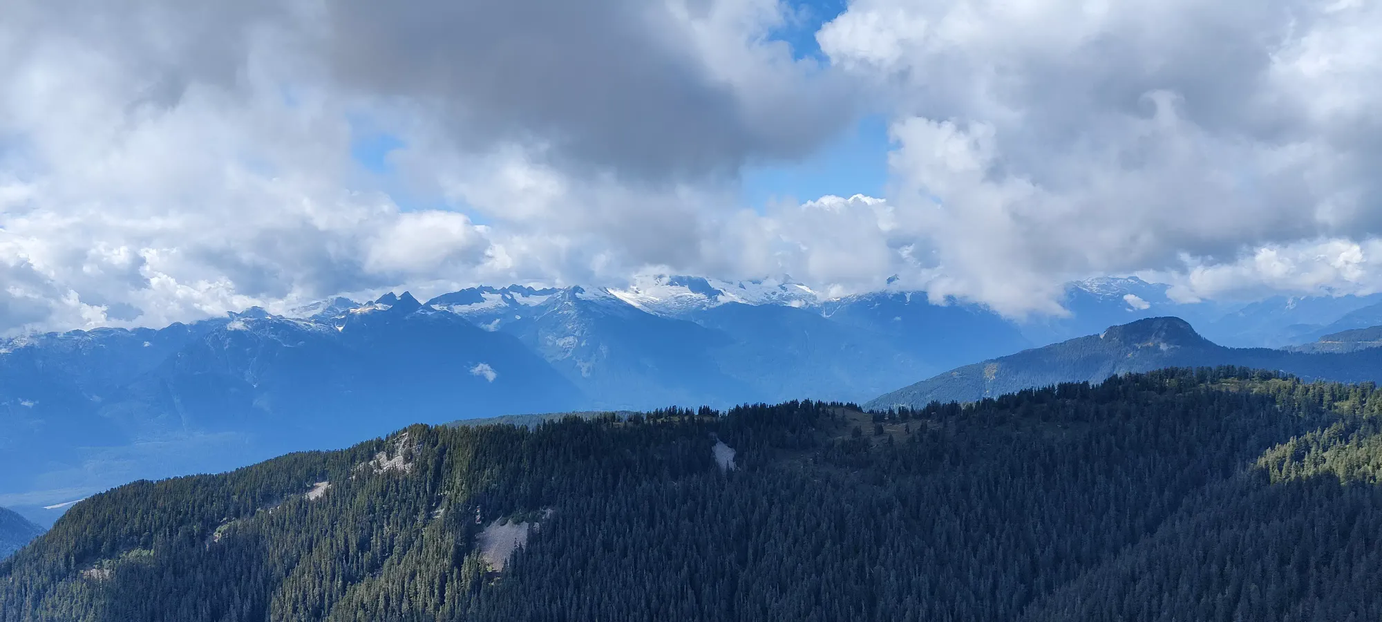
I quickly got to and took the fork to the left which goes towards the peaks of the day (decided to save Opal Cone for an easy ski tour and bag the 3 near each other instead given my good pace), rather than forking right to the shelter. The clouds had nearly cleared from the lower peaks at this point, though not quite. The trail remains easy to traverse until it forks off to Opal Cone and Mamquam Lake, where the good trail continues. The trail toward Diamond Head gets rather narrow and rutted, almost like it was carved by a single, wide motorcycle. While this slowed down the blistering pace, it was also refreshing to feel like I was on a hike more so than a walk on a dirt path. I hit this fork basically exactly 2 hours in (would've been helpful if I didn't waste an extra minute wandering down the Opal Cone path before realizing it wasn't the right one, but oh well).
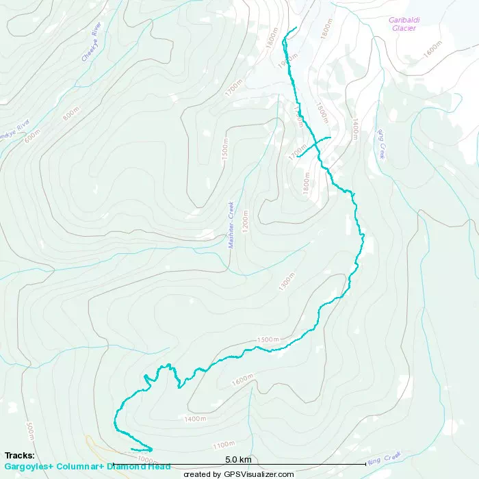
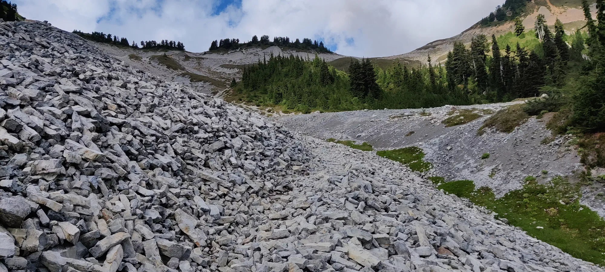
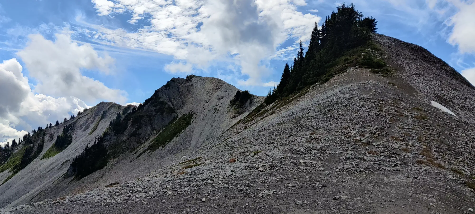
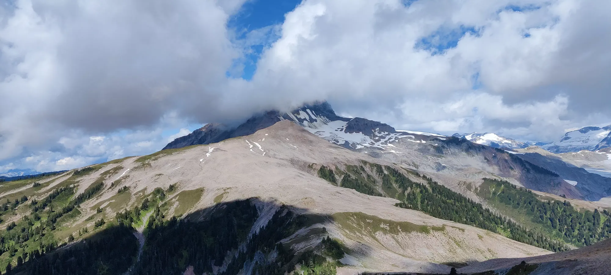
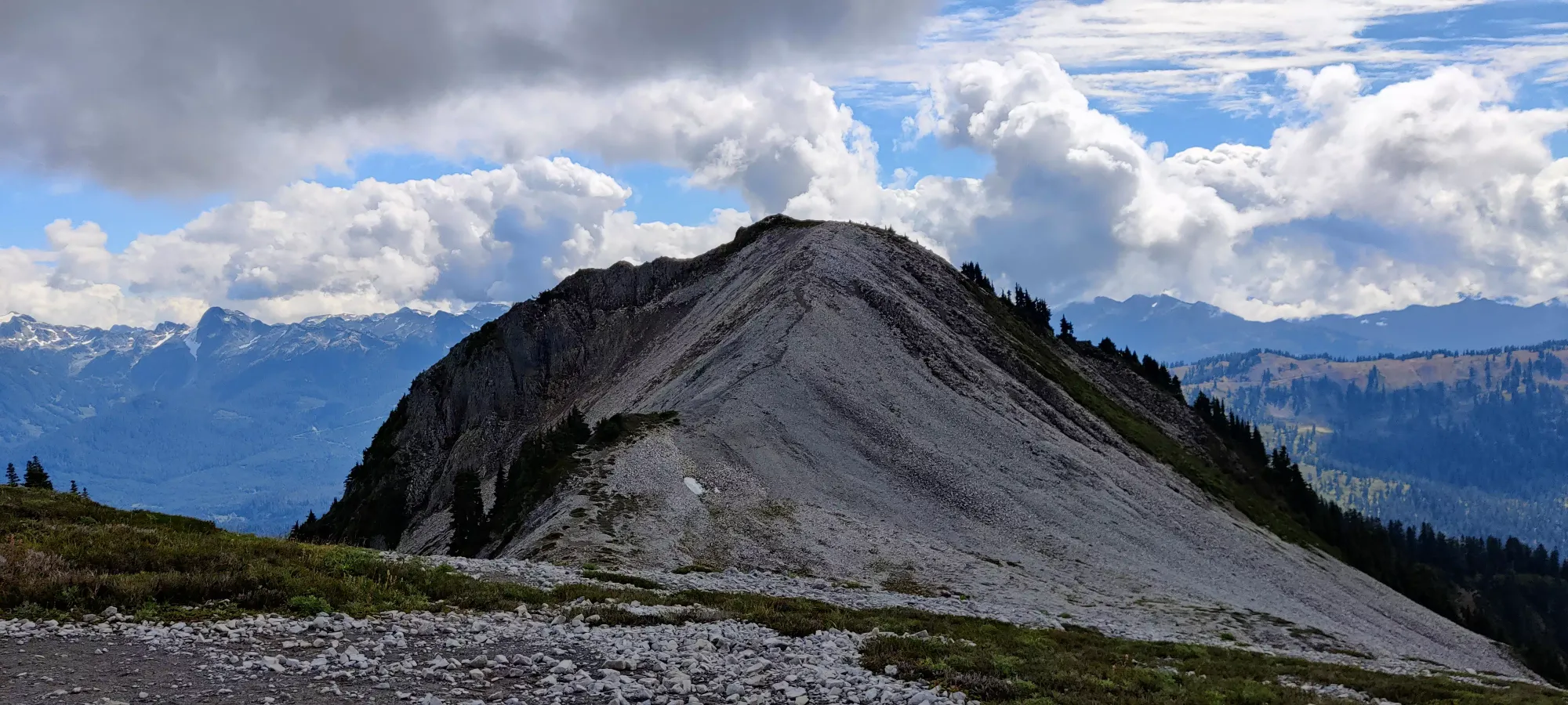
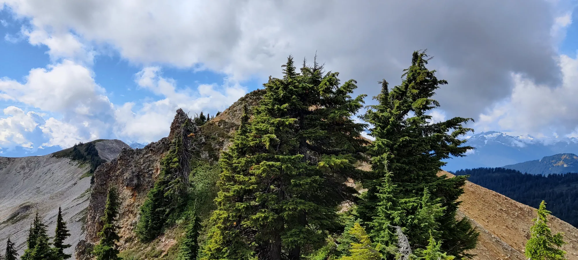
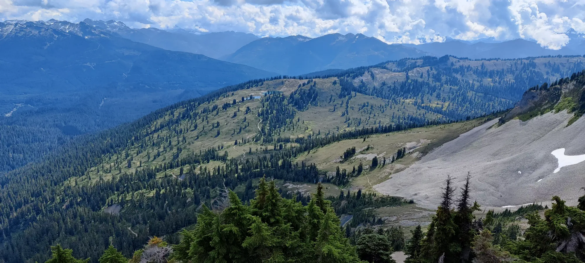
The trail continues in that fashion for a while until you get through a short sparse forest, and get dumped out into the bowl flanked by Columnar Peak and The Gargoyles. It's basically just a giant collection of talus, at least on the Columnar side, which is where the beginning of the bowl section traverses.
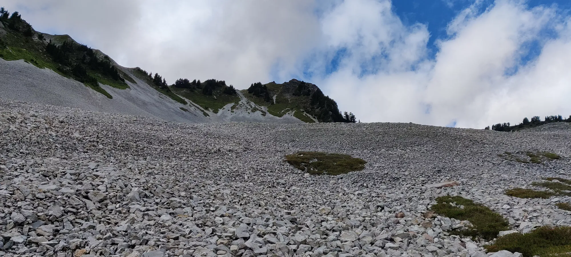
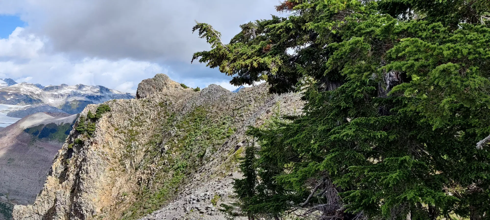
The dirt path continues beside the talus until about 1570m, where you have to get onto the rocks. I was dreading this at first, but thankfully it doesn't last too long, and you get to get across the ditch separating the Gargoyles and Columnar sides of the bowl, and back onto dirt within a couple minutes.
After this, you gain the remaining 185m of elevation up to the low-point of the saddle between the two peaks on a loose dirt path. Since there was rain the previous day, the dirt was in excellent shape for walking without slipping, and I made the saddle 2:35 into the hike, a time I was (and still am) most pleased with.
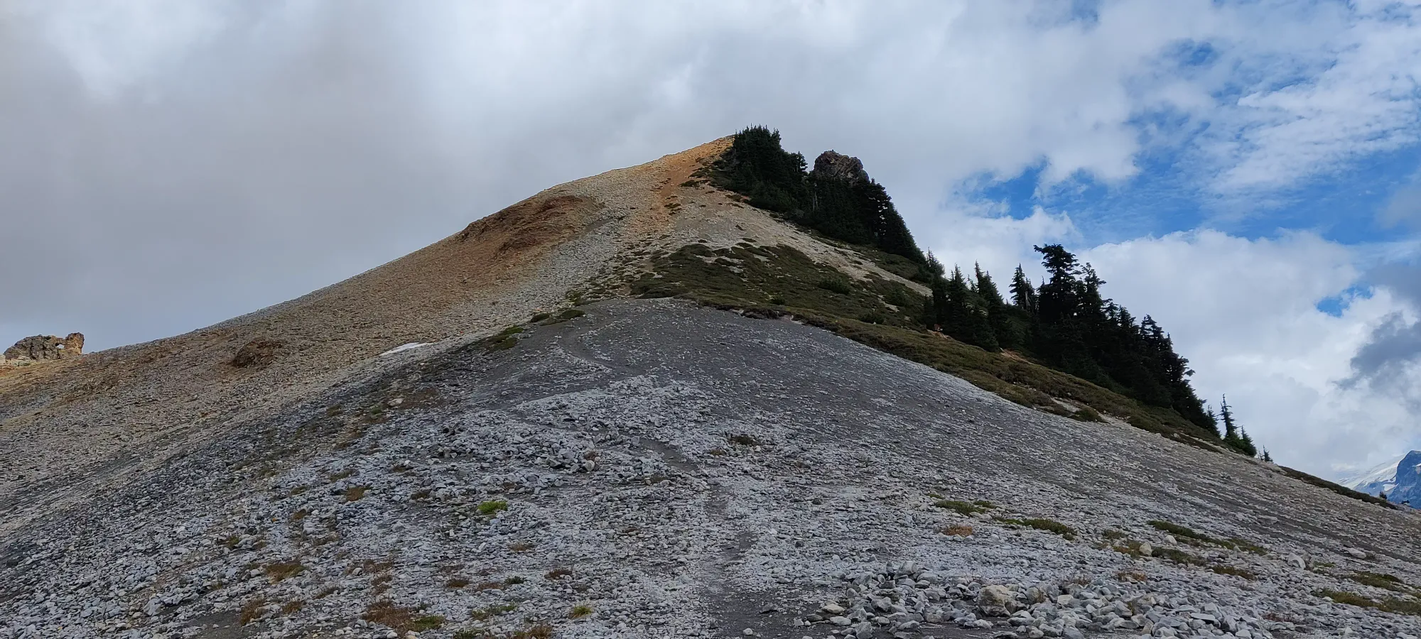
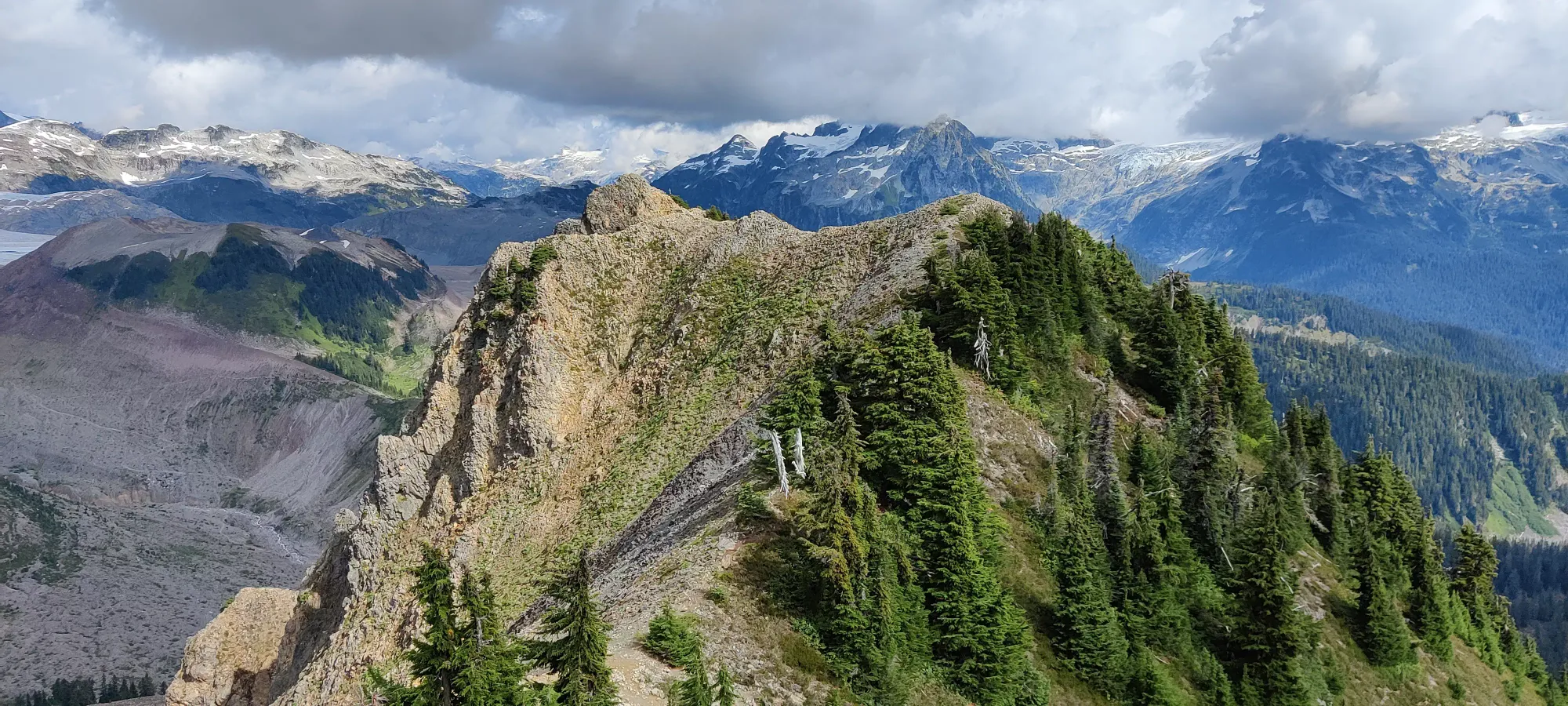
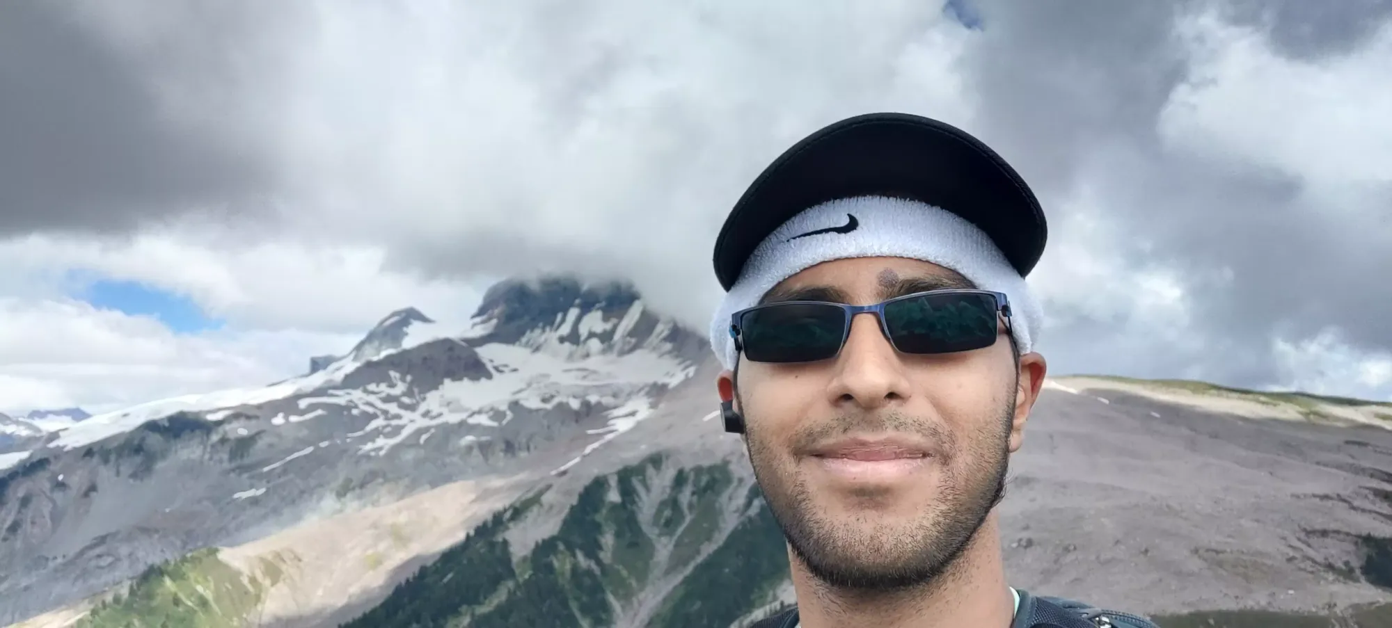
Once on the saddle, I actually went to bag Columnar Peak first, since while I have TR up for it already, I only got to the wrong side of the summit cornice, so I needed to bag it for real. For brevity, I will only add a couple pictures and describe the traverse from the saddle as "a short ridgewalk with lots of fall hazard to climber's right, but if you step carefully and take any path to climber's left that presents itself, you'll be fine and get an easy peak bagged".
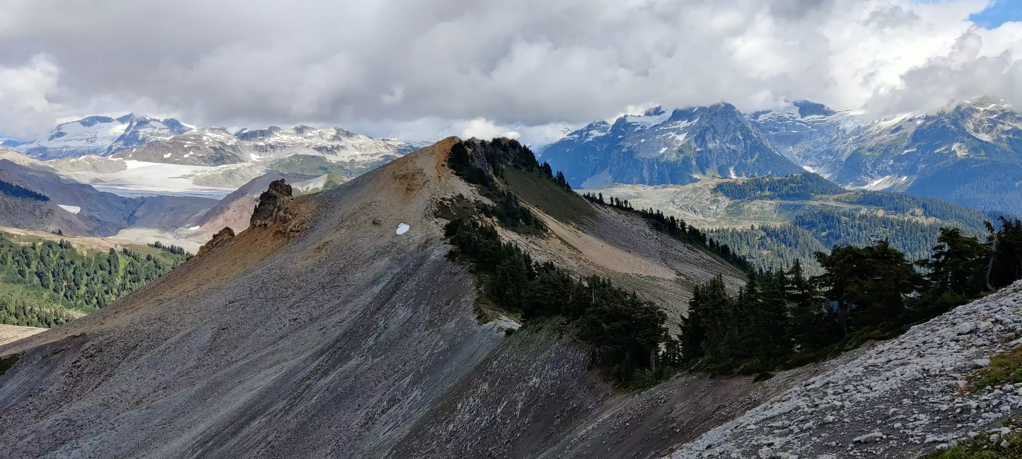
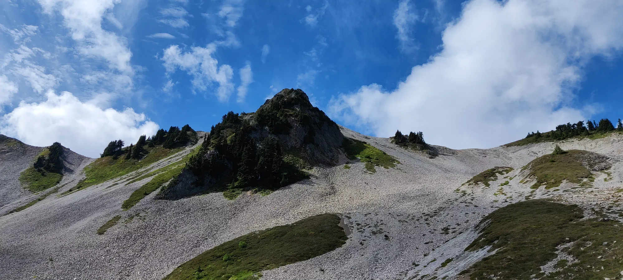
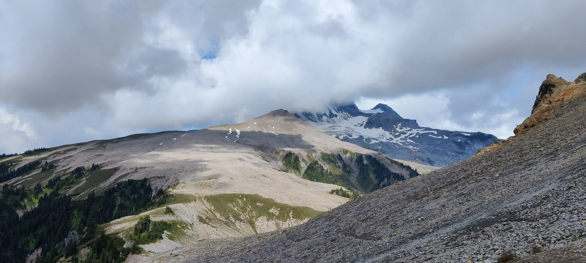
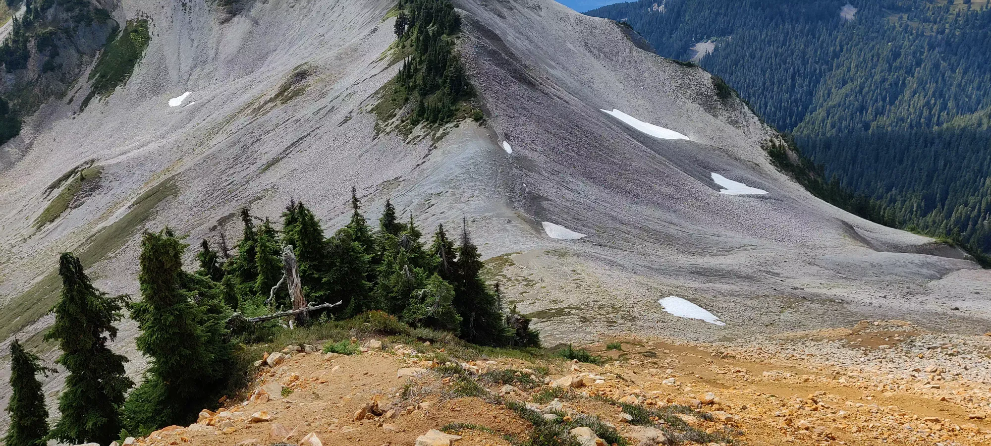
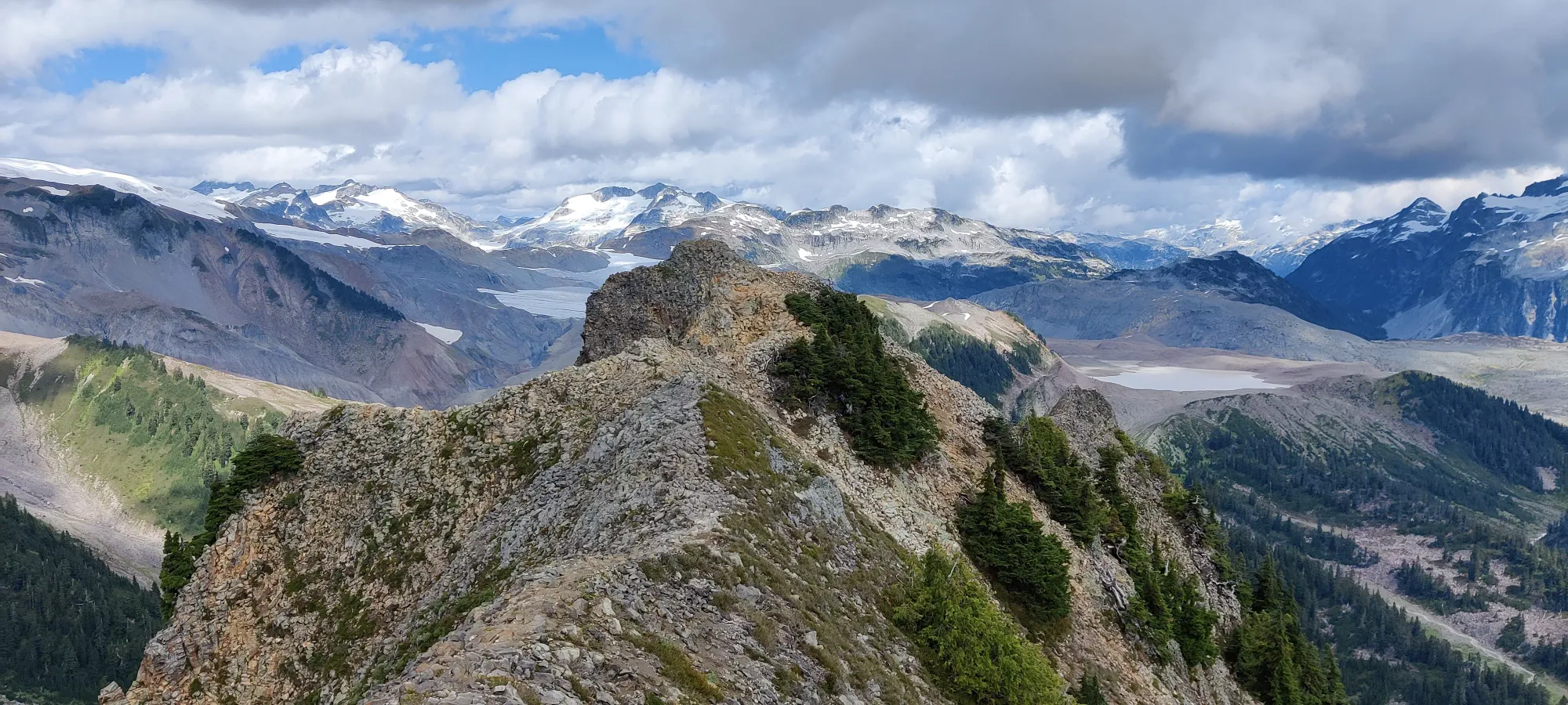
With my revenge out of the way, let's get back to The Gargoyles. Once back on the saddle, it's only a short jaunt up to the top of the red rocky peak seen in most pictures of this mountain. Interestingly, while the maps I had indicated this was not the peak, it was certainly the highest point I could see. I traversed across to get to where my GPS would be happy, but it was certainly lower. The terrain was pretty relaxed, just a walk up steep dirt with enough divots and rocks to make it stable, even on the descent.
From there, it was time to descend back to the saddle and get to Diamond Head, still an annoying descent and subsequent climb up of over 400m, so no time to waste. I made good time, bagging both The Gargoyles and Columnar Peak (and back down to the saddle) in 3.5 hours. So I rewarded myself with a 10 minute break, and set off down to the low-point before I made the climb up to Diamond Head...
GPX Track + Map