Diamond Head - September 5 2022
The third peak in my second day of self-punishment this long weekend

Garibaldi Neve, Squamish, British Columbia
2056m
I did this as part of a loooong day which saw Columnar Peak and The Gargoyles bagged first (the former is encompassed in the second TR, as I did a separate spring post about it earlier, though it didn't get to the true summit so I did it again). This TR picks up after lunch at the saddle after bagging those two peaks, 3:40 into the hike.
The first matter of business post-lunch was getting down from the saddle to the low point at about 1620m. Not fun as the peak is about 430m above that point, but it had to be done, so down I went. At least I got to see a nice view of the tarn from down low??


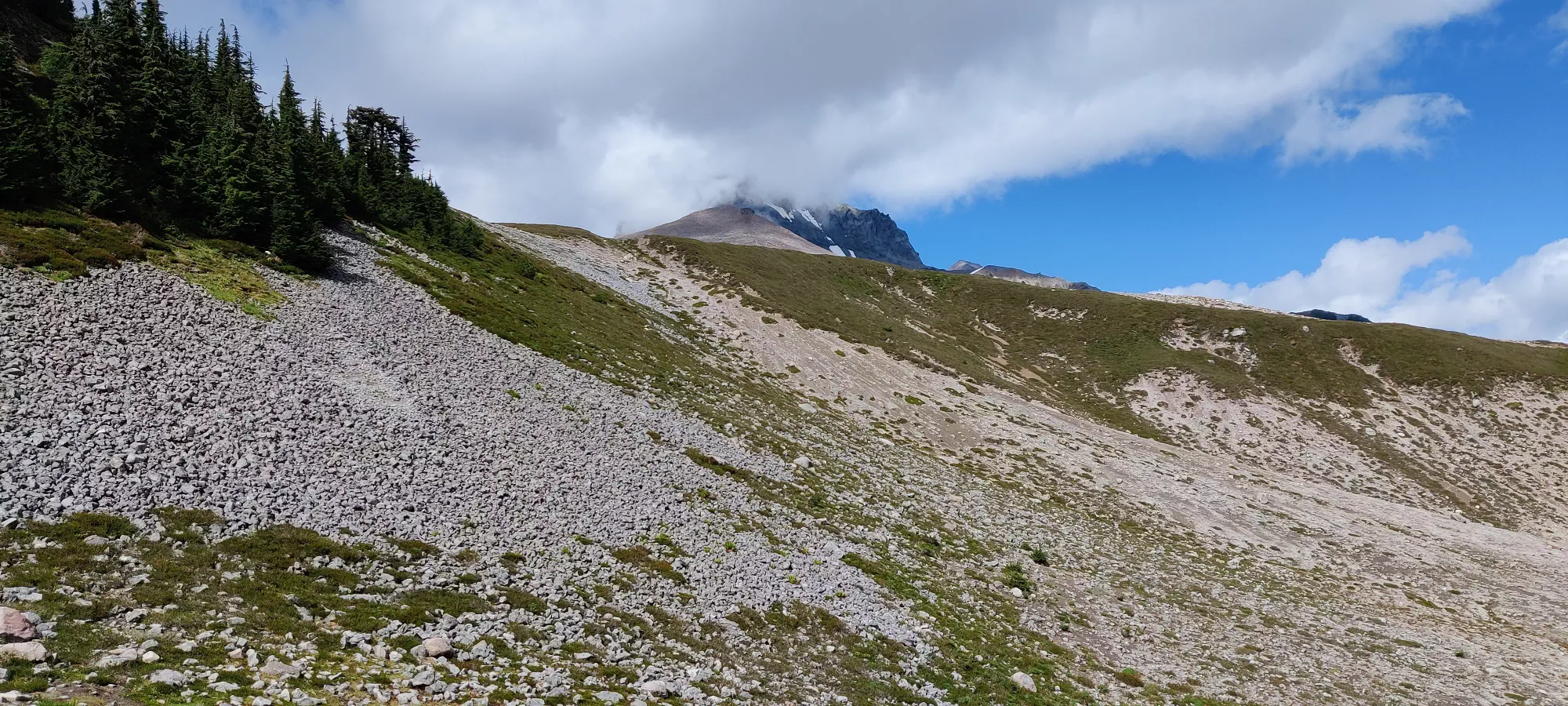
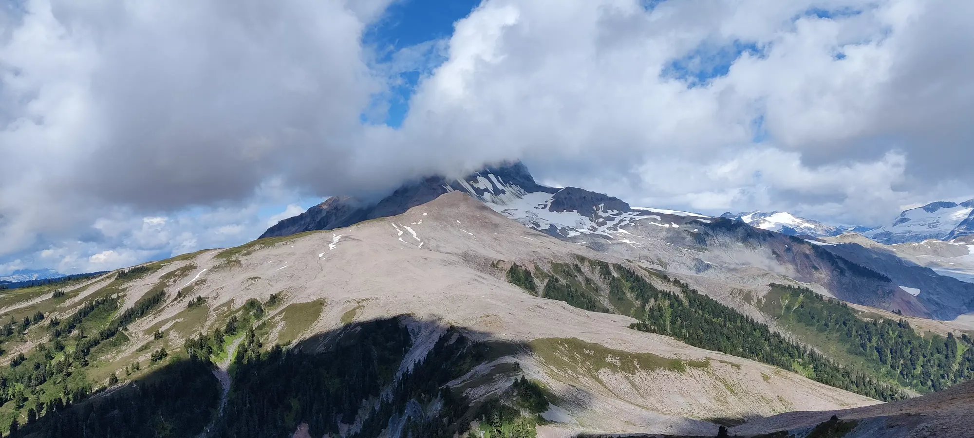
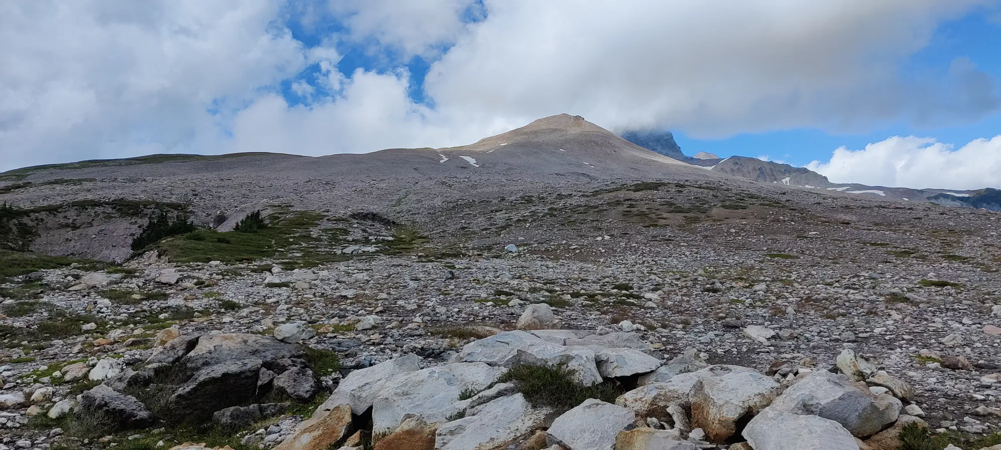
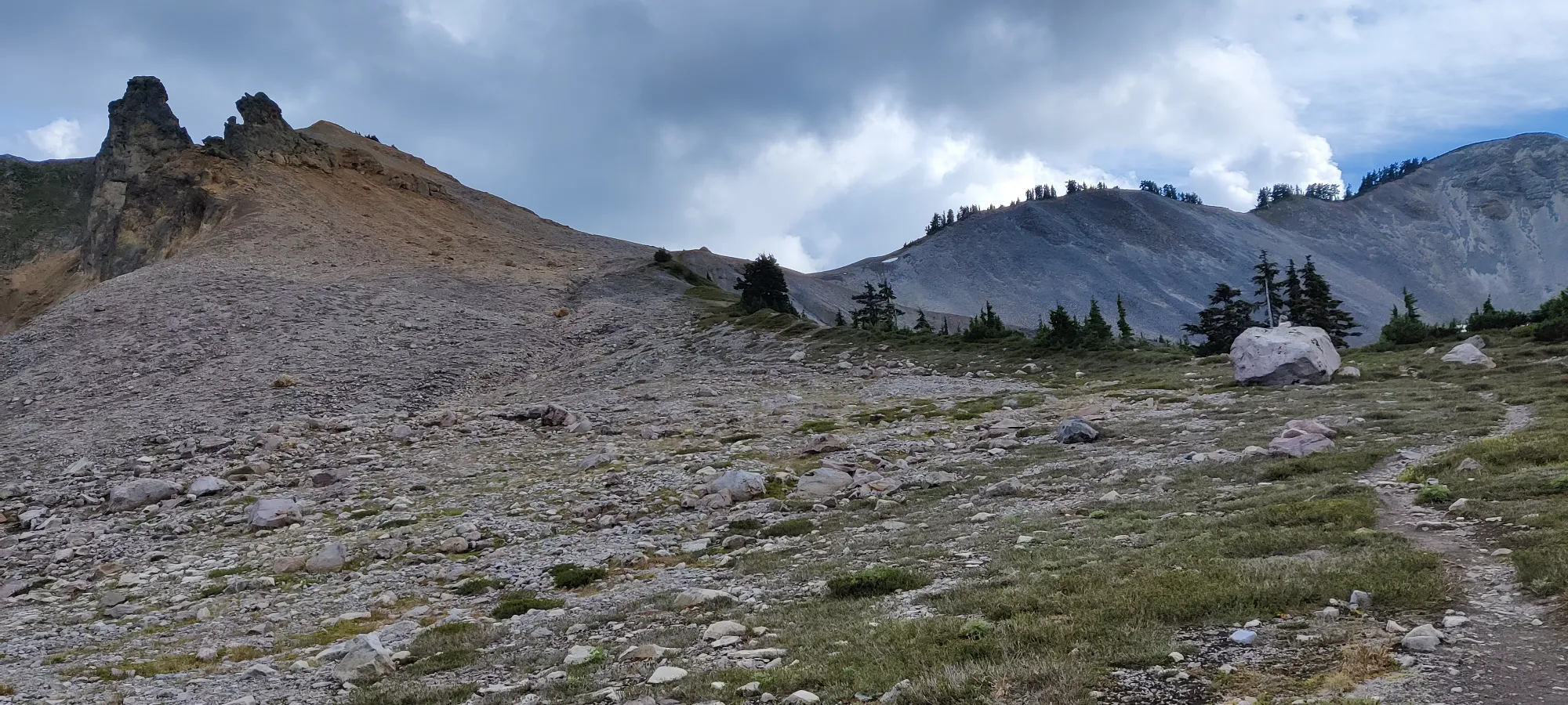
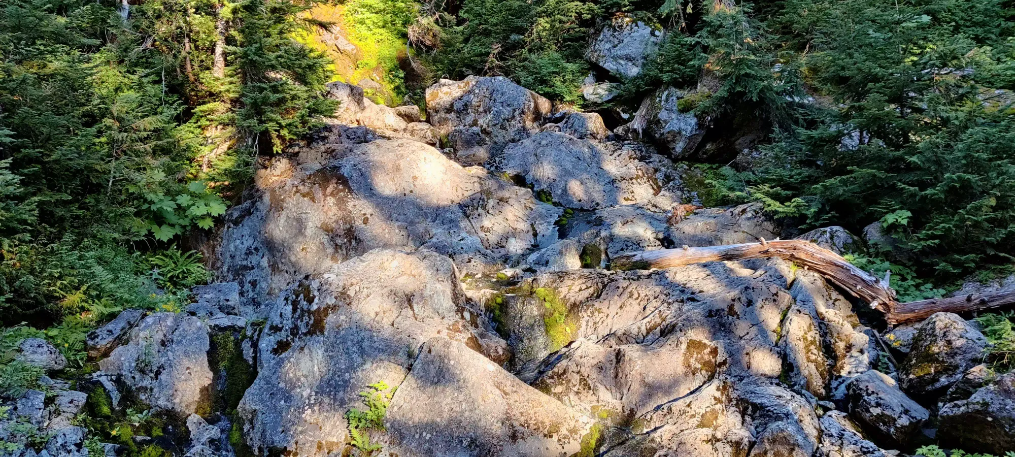
Once I bottomed out, it took about 20 minutes to gain the ridge above, and I was greeted with a large talus field, this time without a nice dirt path to avoid it. Time to get rocky...
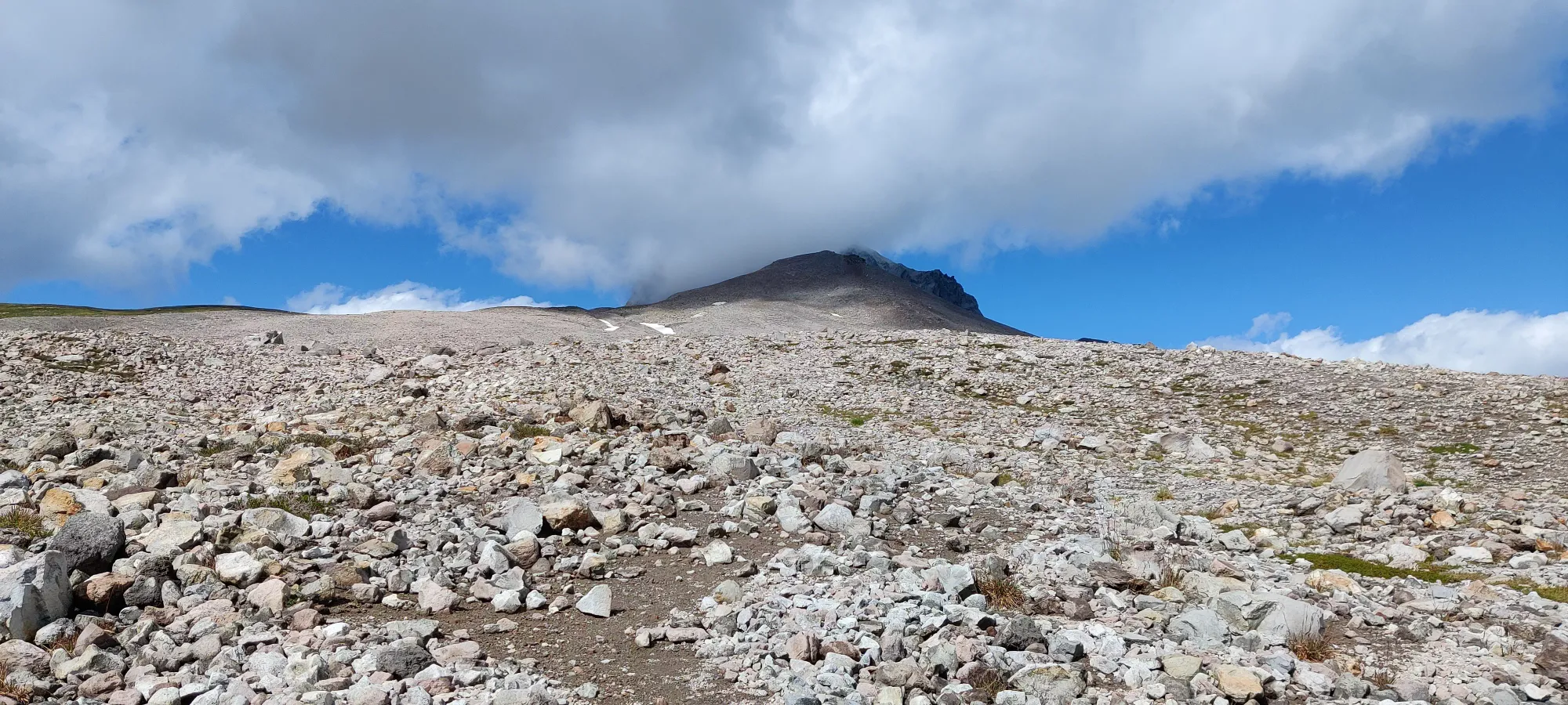
I picked my way up this field a bit slower than my previous pace, both due to getting a bit tired, and having to make an impromptu phone call to VPO to order something before their Labour Day sales ended😅 Thankfully the signal is excellent once you approach the final ridge. I got up to the ridge in about 40 minutes, and the foreshortening slog was over, with only a short ridgewalk to go.
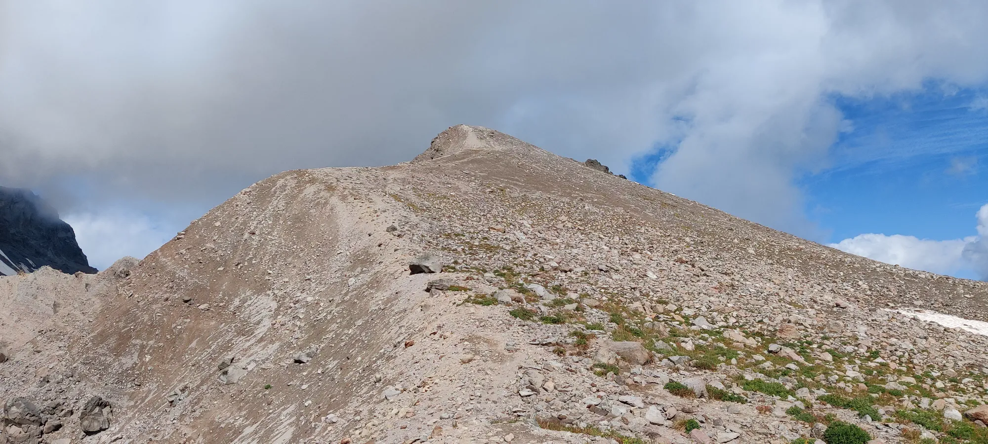
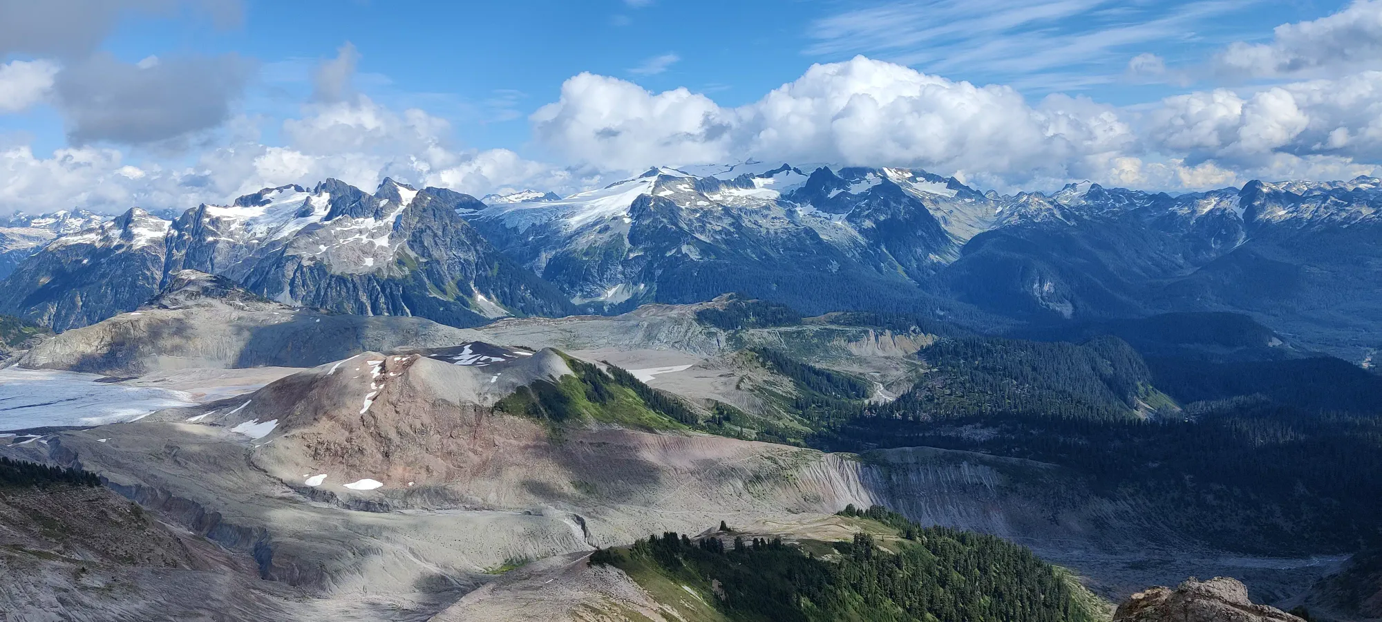
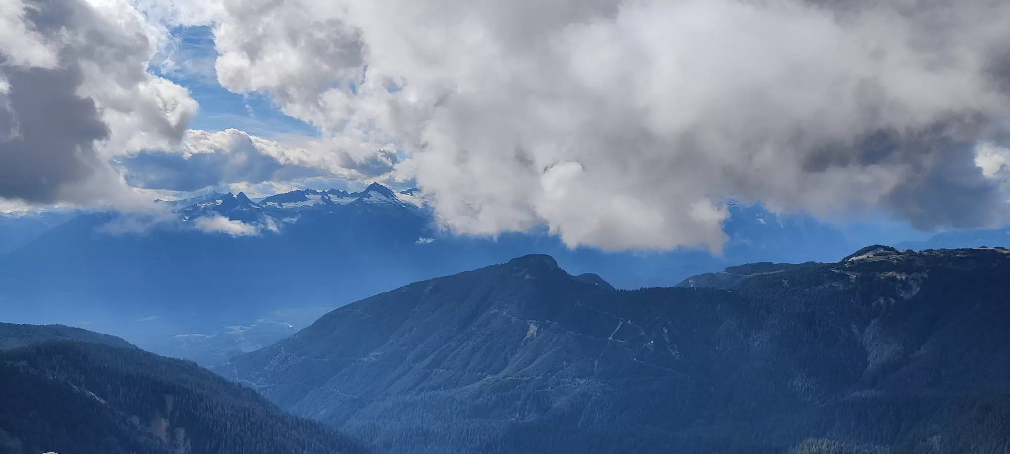
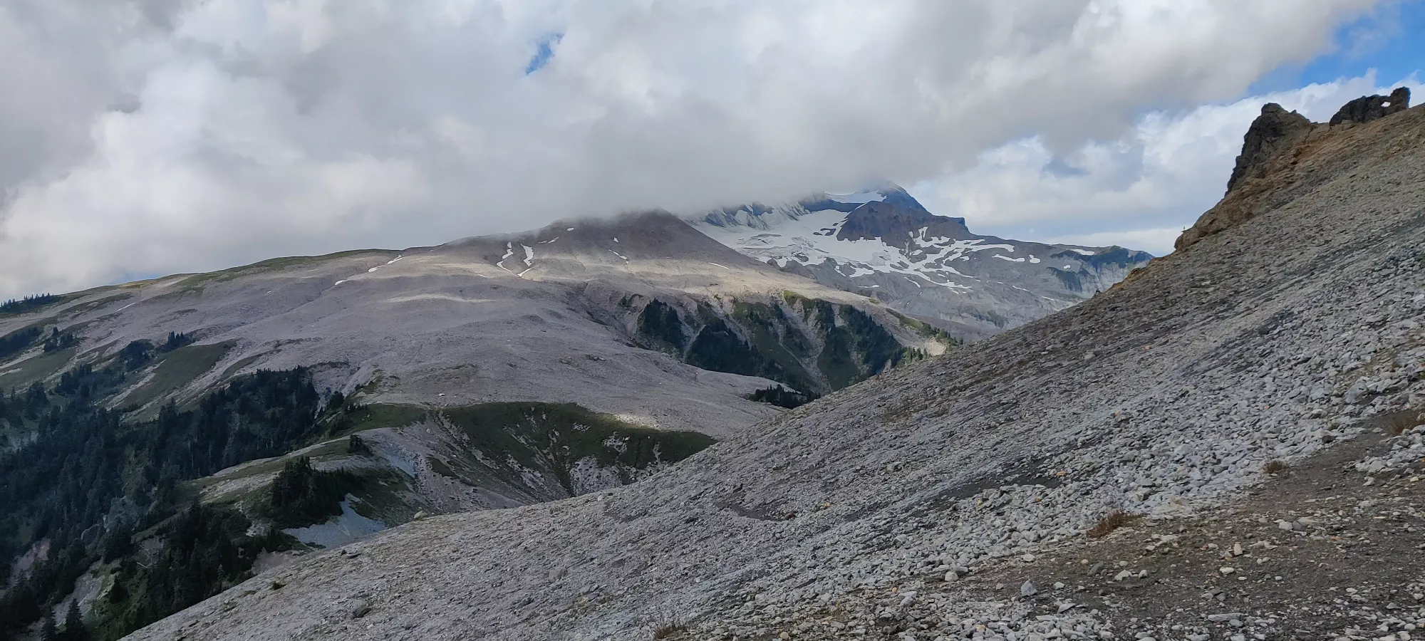
Thankfully this peak is a bit more popular than some others I've done, so the ridgewalk is nice and well-defined, so there's little slip risk over the edge. 10 minutes of measuring walking, and I was on the top, a bit under 5 hours into the hike. Given the AllTrails average for just diamond head is over 11 hours, I'm okay with that result. My efforts were rewarded with some pretty good views.


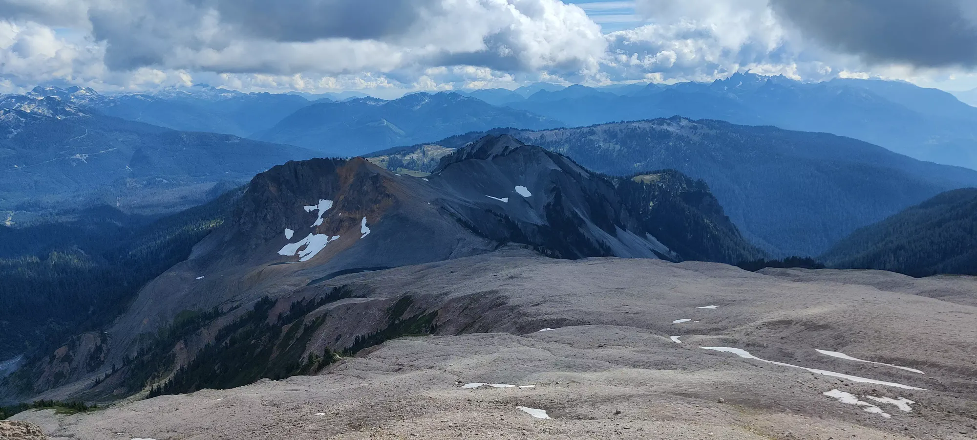


Since I was determined not to have to hike in the dark for the umpteenth time, I didn't linger long on the peak, and set off within a few minutes. The ridge was taken a bit more slowly due to the above fall risks, but once I got on the talus field I went more or less as fast as my tired legs and sore feet would let me (read: not actually that fast). Still, I made my way out of the talus in about half an hour, where I could pick the pace up a bit more.
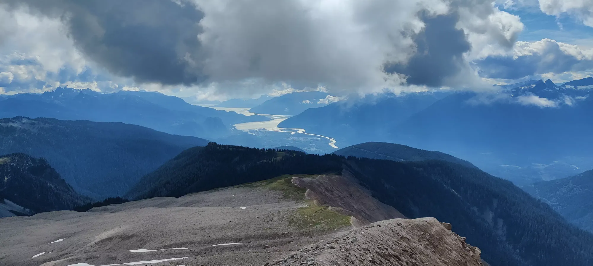
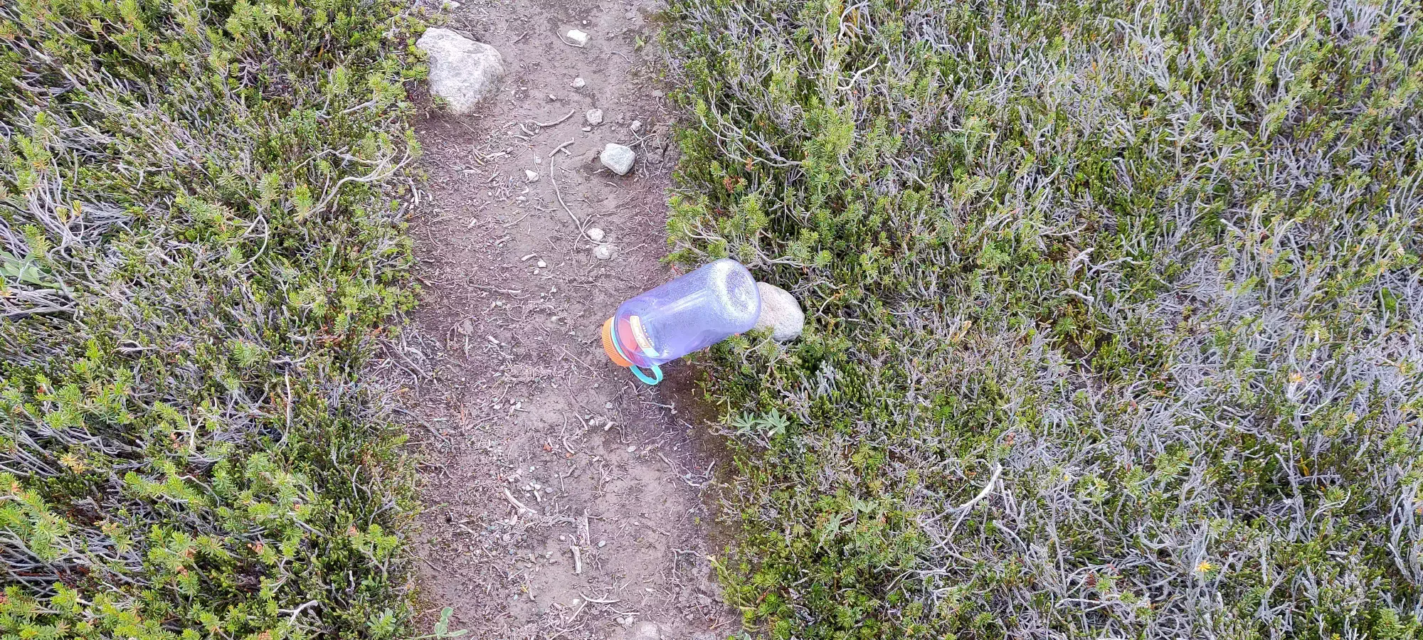
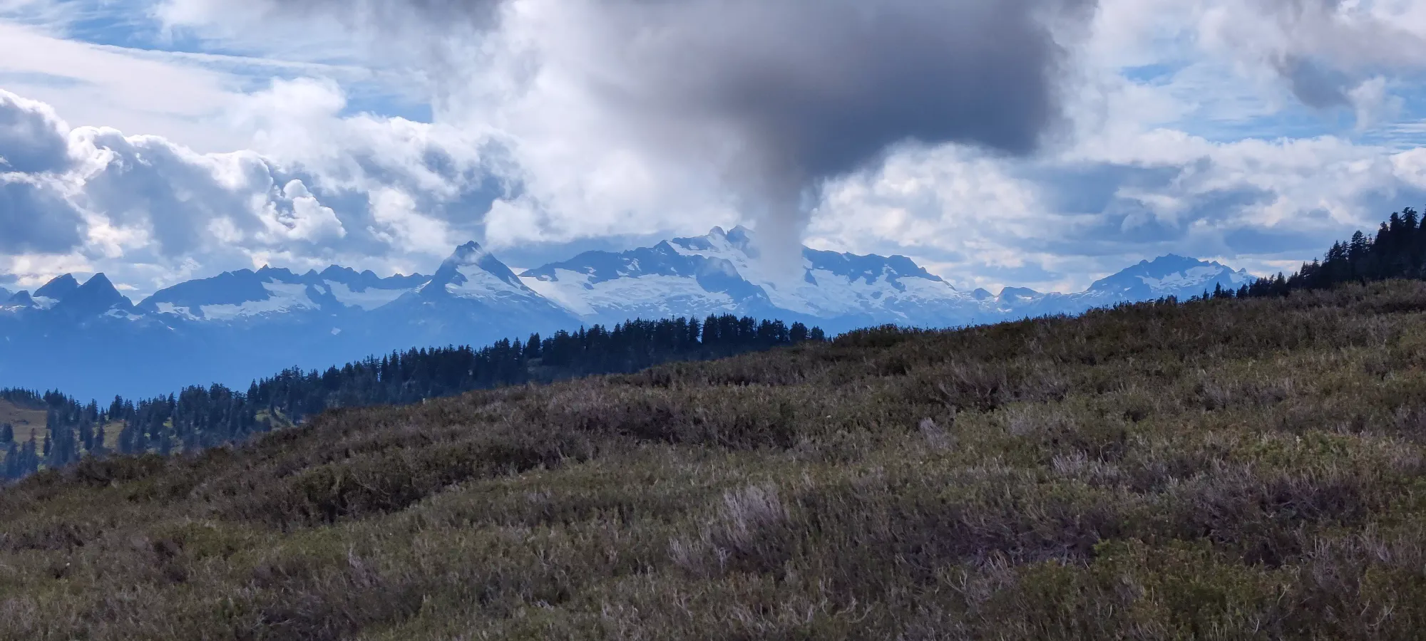
Just a couple minutes into the descent down the dirt to the bottom of the col before the saddle, I remembered I saw a lost Nalgene on the way up, and had left it in case that was intentional. Having seen nobody the entire time since I left Elfin Lakes, though, I strapped it to my pack and continued on after taking the best Tantalus picture I figured I'd get the whole day. Hopefully I can find the owner...

Another fifteen minutes of grinding, and I got up to the saddle, and actually found the first party of people I'd seen past the lakes. I was surprised to see people after 4pm this far out, though it's not like one can't get back (especially if one has bikes, or is camping), so while it's not inherently weird to be out that late, I found it odd that ALL the people I past the lakes were from this point onward, on my way down.
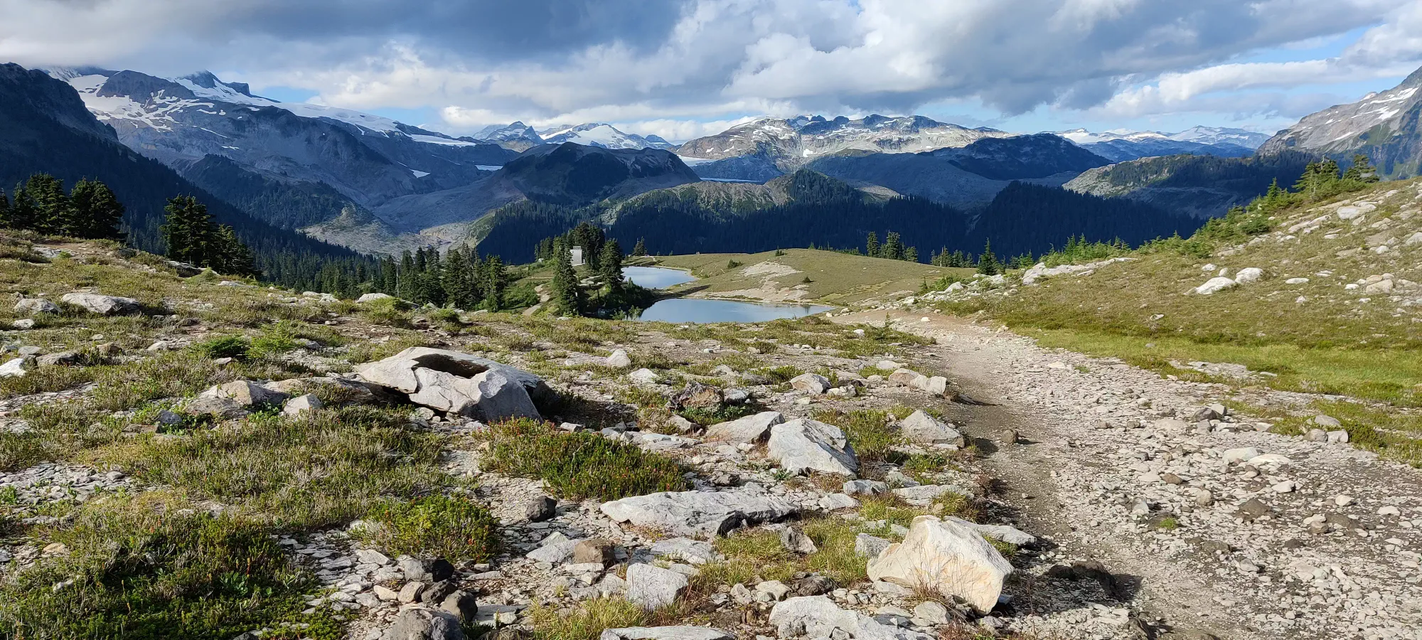
From the saddle, it was a quick shot down to the low-point before the lakes, and with an annoying climb up to reach them, I got there in about 35 minutes, reaching the top of the first lake 6:30 into the hike. At this point, I was quite confident I'd get back before dark, not just to the trailhead but even to home, for once.
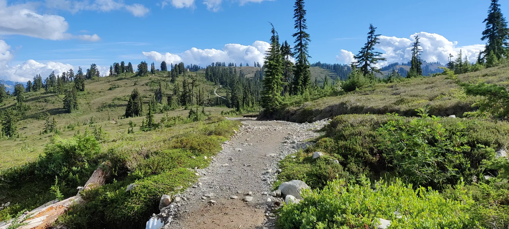
From the top of the lakes I tried to push, but not wanting to take my backup water out of the bag from the bottom, I didn't push too much so I could conserve the water I had left in my original 1L Nalgene (yes this is why, don't judge me). This resulted in a slightly long time of just over 40 minutes from there to the fork for the bike and foot paths down to the Red Heather Hut. At this point, though, I was just happy to be done gaining elevation for the day.

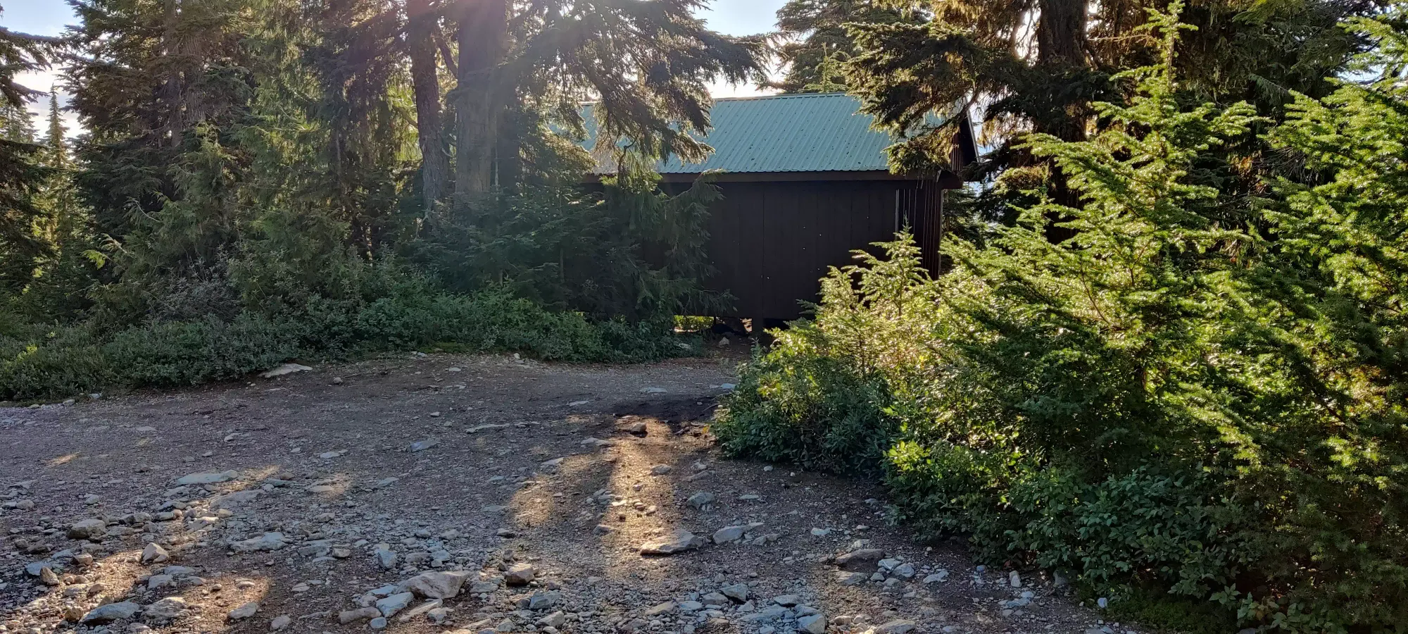
Another 10 minutes brought me to the hut, where I took a short break to adjust some gear, checked my trip time, and noticed that I was just under 7.5 hours in, and had a chance to make it a sub 8-hour C2C trip. As a fan of arbitrary goalposts nobody else cares about, my competitiveness overtook my common sense, and I quickly ended my break, and resigned myself to a bumpy jog down.
The descent was a solid mix of jogging down the downhill sections and walking the flats. The most annoying part wasn't even the jogging, but how my bear spray and water bottle flapped about on my waist and chest, respectively. I could've committed and packed them both away, but that'd take time, and I still wasn't positive I'd make it down fast enough anyway, so I just dealt with the annoyance.
I made it to "dead bear lookout" as I call it (otherwise known as the lookout along the trail with the sign saying "a fed bear is a dead bear") with 10 minutes to go, and at this point I figured I could make it, so I grabbed my last picture, and decided that I had to shirk the walking on flat sections, and just book it.

It turns out that was the right call, as I sprinted into the parking lot with 20 seconds to spare. It was pointless and I'm sure I'll be more sore tomorrow, but I am also kinda happy I made it, so worth it, I guess? The trip overall was quite productive though, I got to revenge-bad Columnar Peak, and knock out 2 more peaks. Plus with the modified HSCT I did on Saturday, I can bring my long weekend stats to 58.5km, 4450m ascent, and 5200m descent. It's been a tough one, but I did bag 12 peaks, so I would say quite an efficient 3 days.
GPX Track + Map