Sun God Mountain - October 28 2023
A prominent peak near Tenquille Lake in Pemberton, with easy access and awesome year-round views

Tenquille Lake Area, Pemberton, British Columbia
2421m
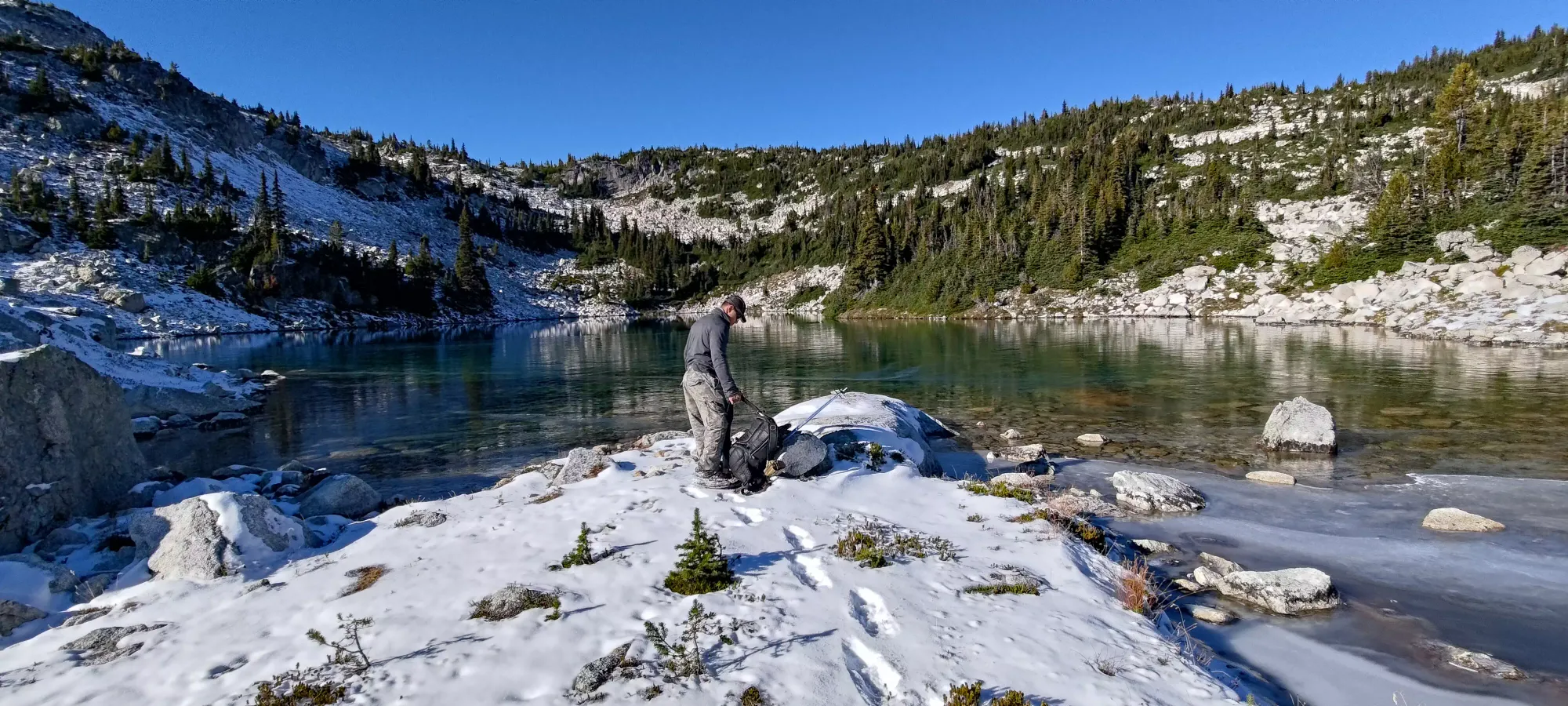
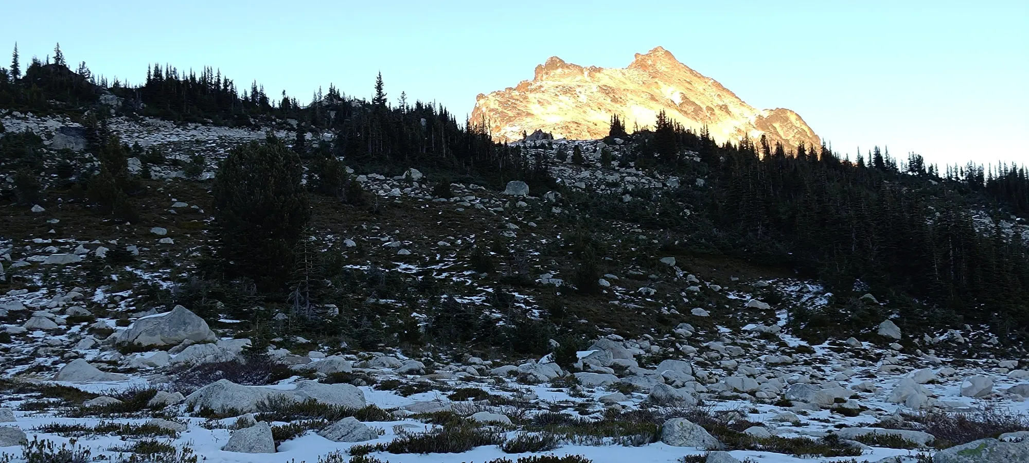
This TR picks up from that of Seven O'Clock Mountain, which we bagged before Sun God. Once we got back to Tanveer's pack on the start of the ridge up to Seven O'Clock, we descended a short boulder field to the small lake at the bottom of the col, at around 1900m. The lake was surprisingly "just barely frozen", though you couldn't pay me enough to try and walk on it. Here, Tanveer again elected to ditch his pack, and we started making our way up the long ridge to Sun God.


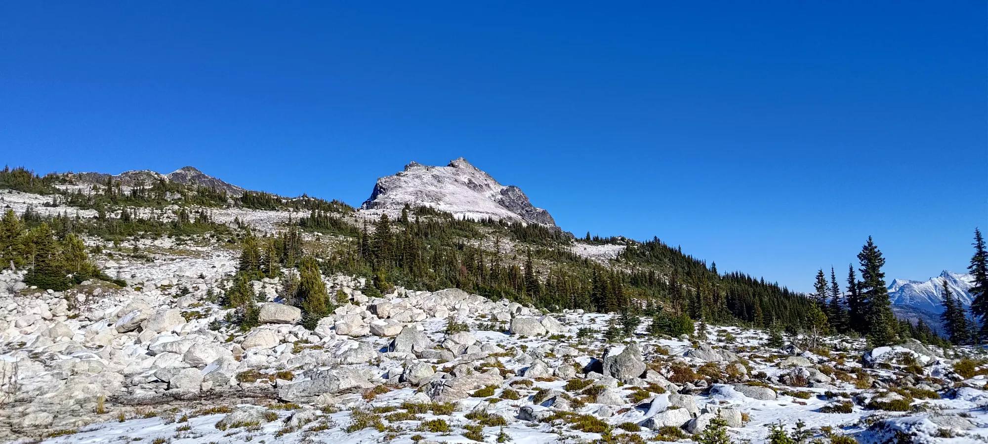
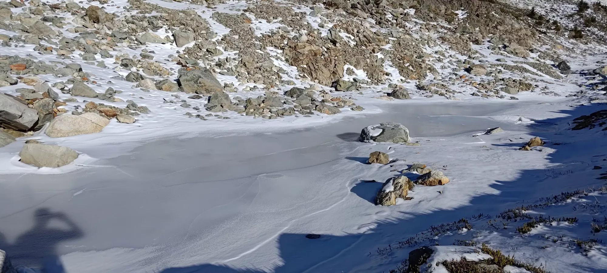
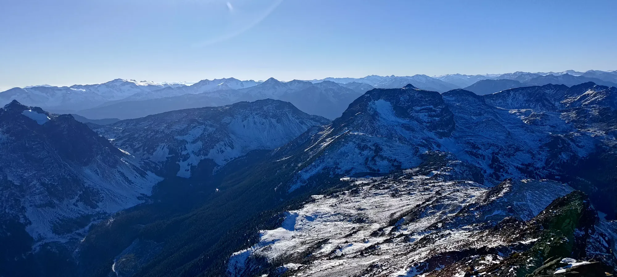
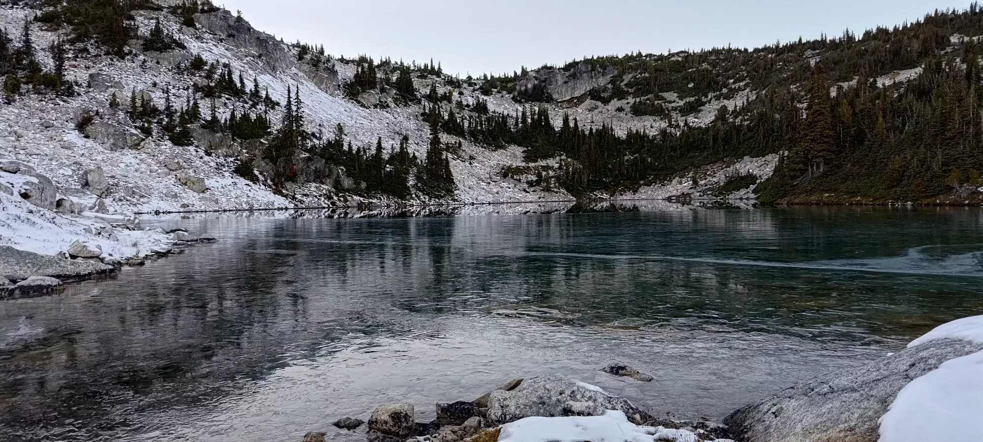
For quite a while after leaving the lake, we actually got to follow a set of mountain goat (we think) tracks, following a nice, casual grade up the slopes, staying a bit below the top of the ridge in the rolling hills below. There were some flags here and there, but with the snow covering any possibility of a beaten path in the dirt, we just chose to keep to the nicest-looking terrain. After half an hour, we'd only gained 150m or so, but probably a bit more than half the distance up to the peak. We found a small frozen pond which was frozen enough to walk on, so I guess if you're looking for somewhere to go skating before the next snowfall this little spot could work for you.
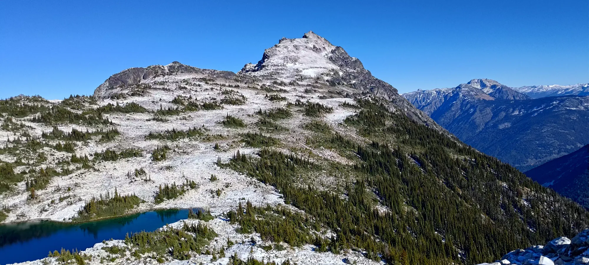
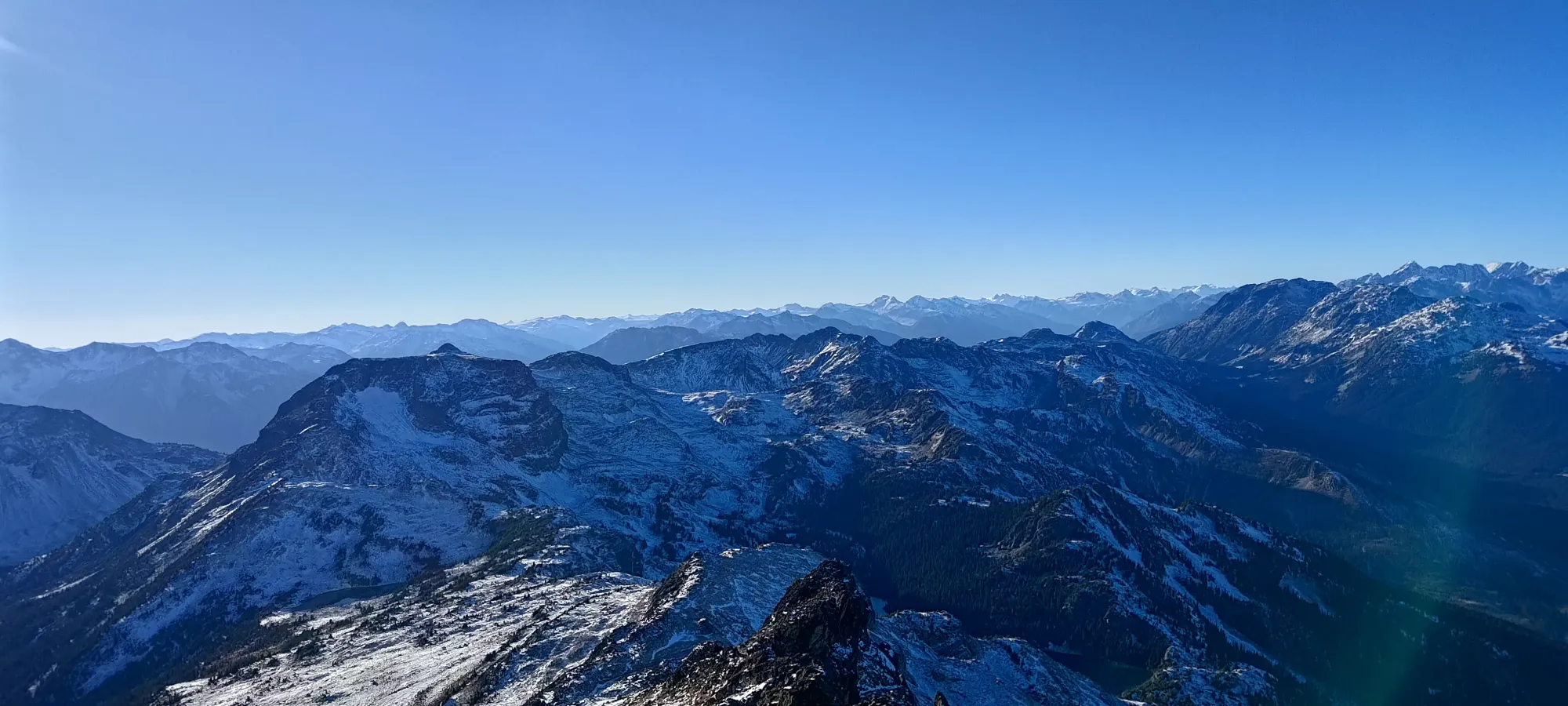
After this point, the southern slopes started to fall off more sharply, and became rockier, so we started cutting up to get closer to the ridge proper. It was unfortunately rocky, though at least fairly stable, so the difficulty was mostly just in foot placement to ensure you were on something flat enough to push off of. Once we got higher up, we saw some snowy lines across the face that seemed to indicate a path flattened out by previous hikers, so we followed those with relative success.
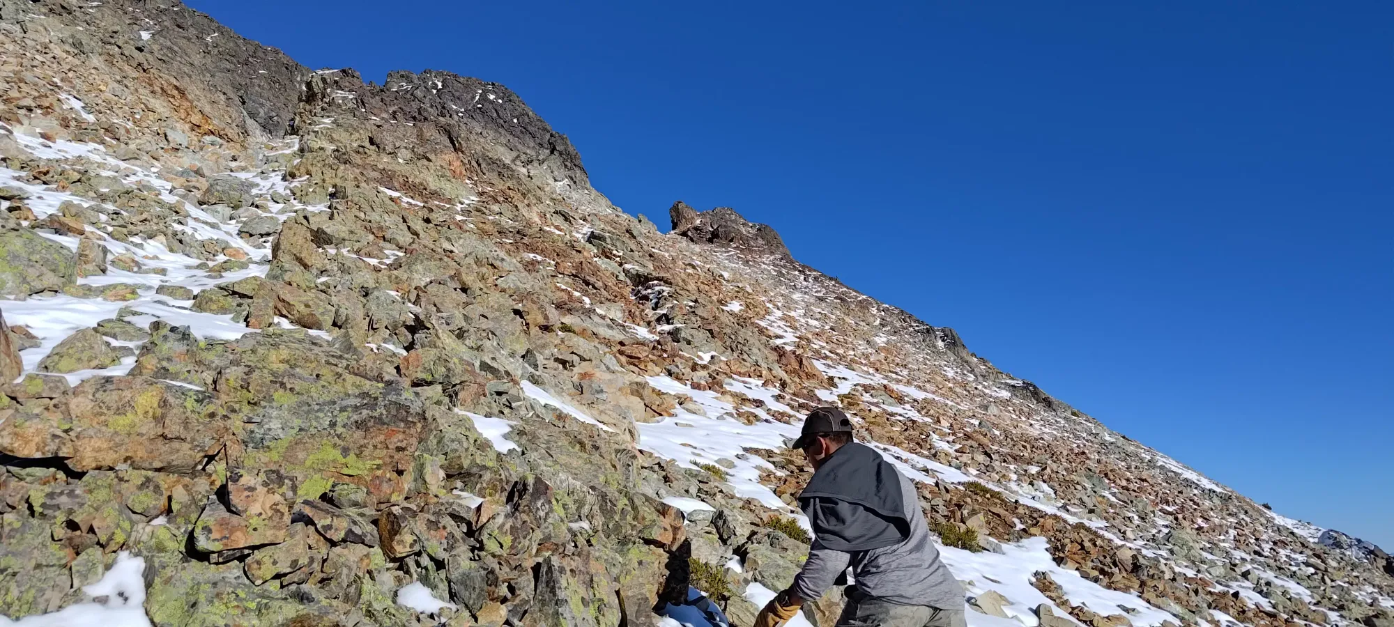
Once we were in that section, it was pretty fast to gain up to the summit. There was a false summit or two higher up, where the geography obscured the true summit that could be seen from below, but they were quite close together. There were also a couple hands-on spots coming up to the summit, but just for balance, and they could probably be avoided if you were really dedicated to not touching the rocks for some reason.
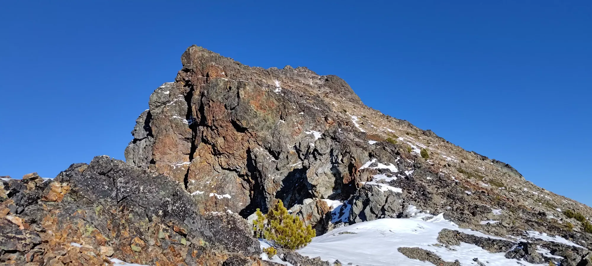
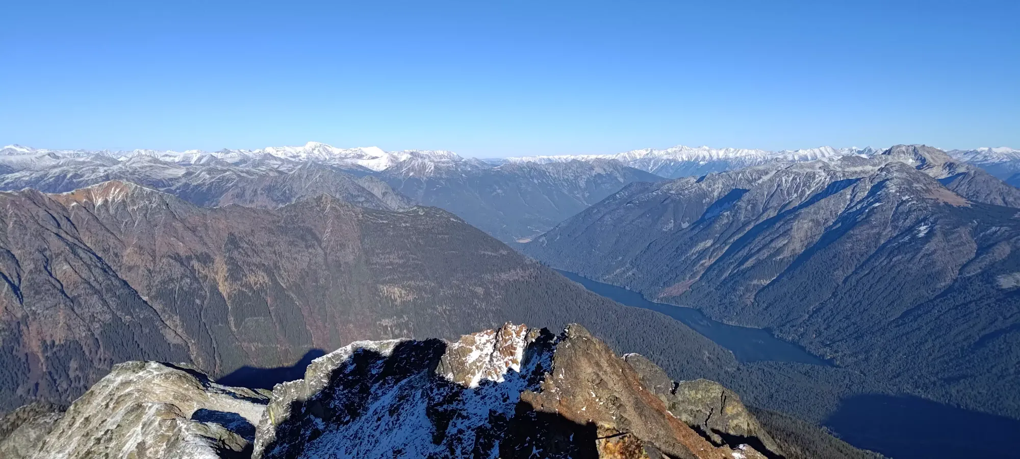
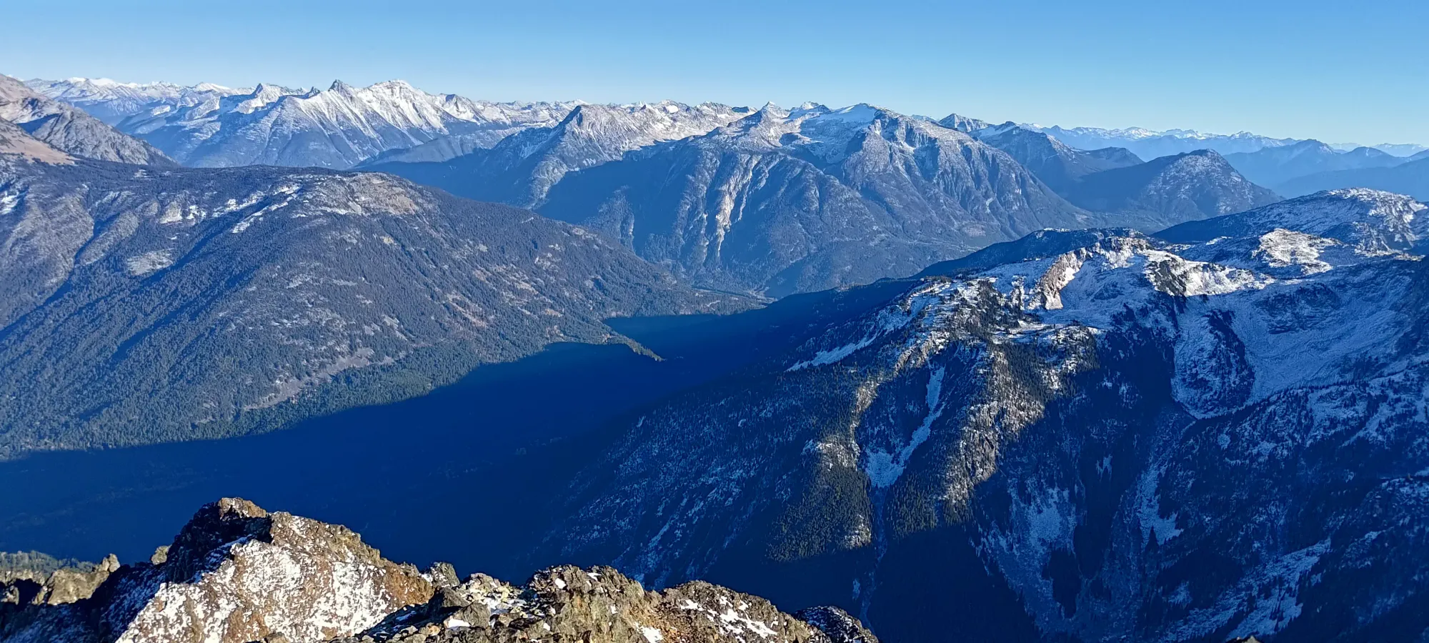
We summited at about 3:50pm, giving us a couple hours to get down to the lake and get out of the sketchy side-slope we saw on the way in before dark (we were unconcerned about the forest descent if that was after sunset). That allowed us to soak in the view for about 10 minutes once again before starting our descent.


We started moving pretty much exactly at 4:00 (quite convenient for my attempts to recreate a timeline), and started by just retracing our steps along the snowy paths on the upper ridge. After a couple hundred metres, though, I had the idea that "retracing our steps on the annoying, small rocks on a sideslope kinda sucks" and "the open, flatter terrain down below looks so nice", so I proposed we just cut down the steeper slope directly, then cover most of the distance on the shallower slopes further below, which should allow for faster walking. Tanveer agreed, so we cut down sharper to the south, and descended about 150m in 15 minutes, getting ourselves to much easier terrain in the process.
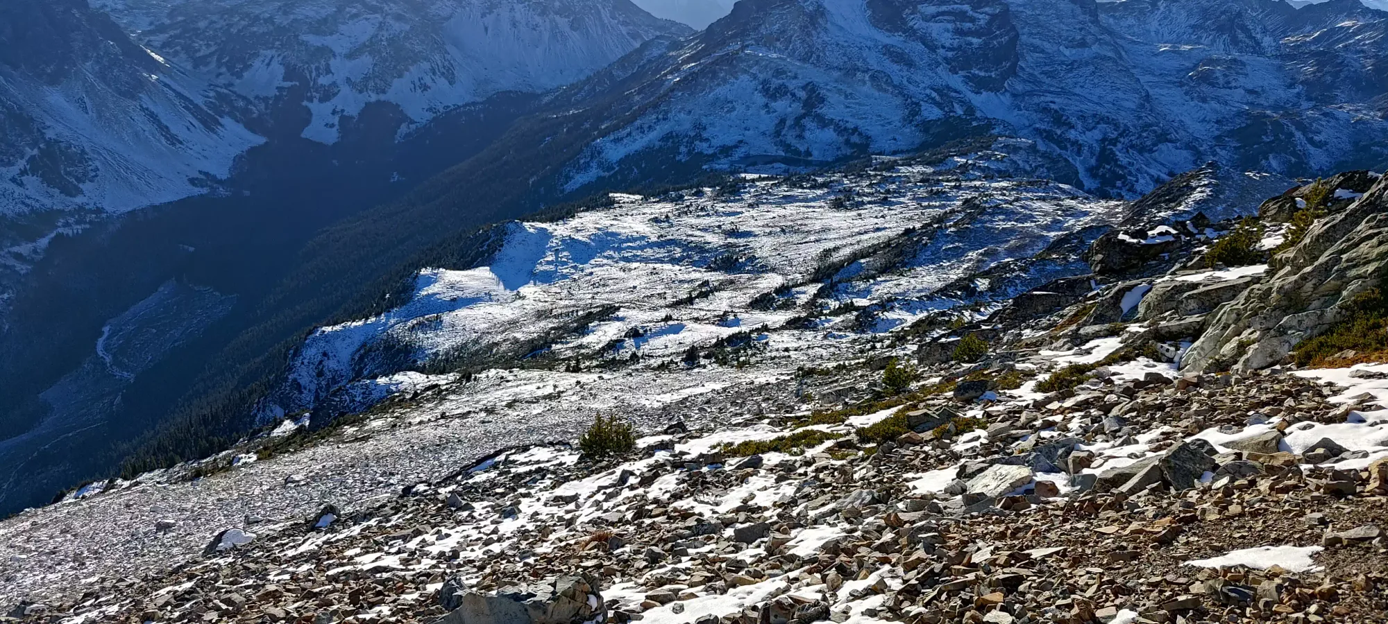
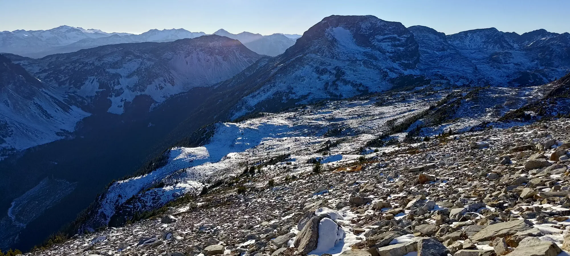
Once we got onto the flatter slopes, it was just a game of picking the nicest rolling hills to get back to the lake, which we did fairly successfully, getting back to the lake in just under an hour and a half. At this point, the sun had become obscured by the ridge of Seven O'Clock Mountain, so we were in the shade (or dark) for the rest of the day.

From the lake, there was about 50m to gain through some boulders with the perfect amount of snow to maximize annoyance (just enough to make them slippery, but not enough to compact and step on the snow without touching the rocks), and then the traverse we were most concerned about. I'd scoped out a line on the way down to the lake previously, which worked out pretty well. Half the traverse was just on boulders, which while annoying, are good at "cancelling out" the grade of the slope, so that was stable, at least. The second half required some sidehilling on the grassy slopes, but the existence of a few rocks to create a solid footing, and enough of a beaten bath below the snow to level it out a bit meant kicking steps in the snow was effective enough to stay stable, and we made it back onto our uptrack in 20 minutes or so. From that, it was all just walking, so no more concerns.
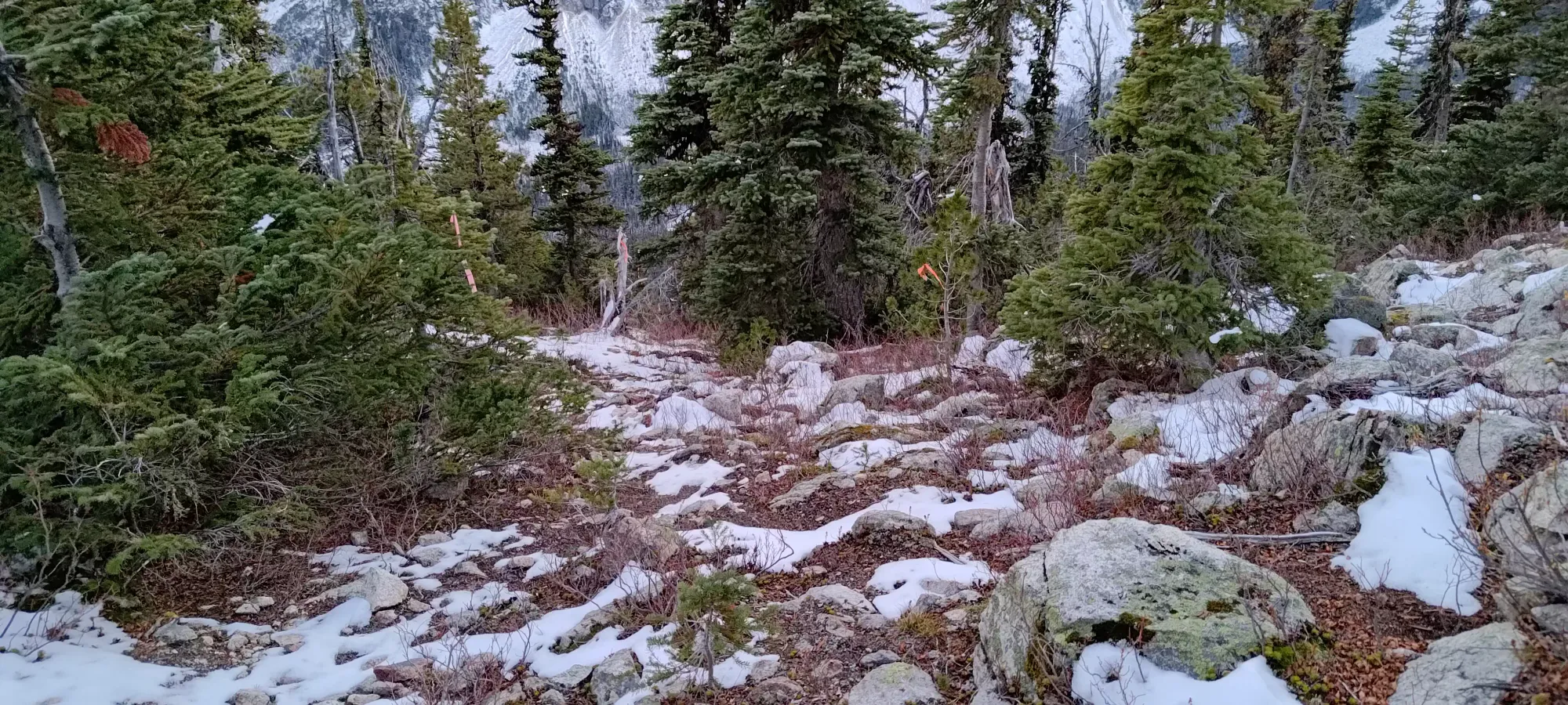
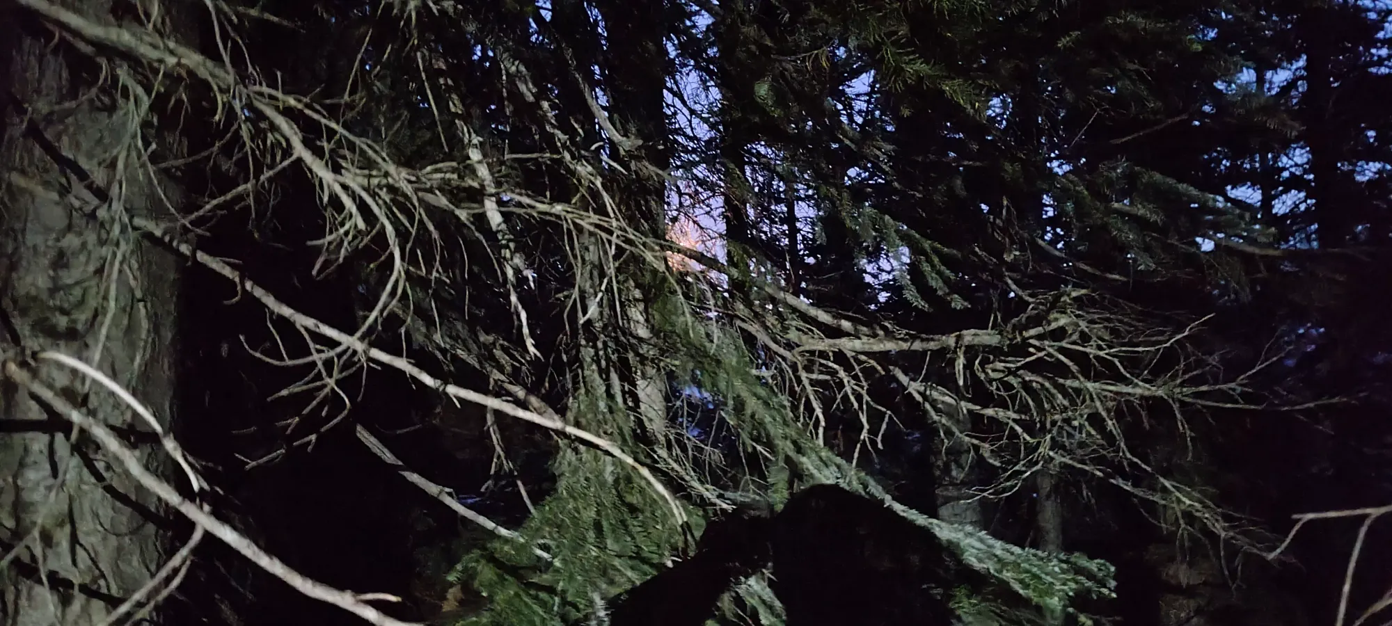
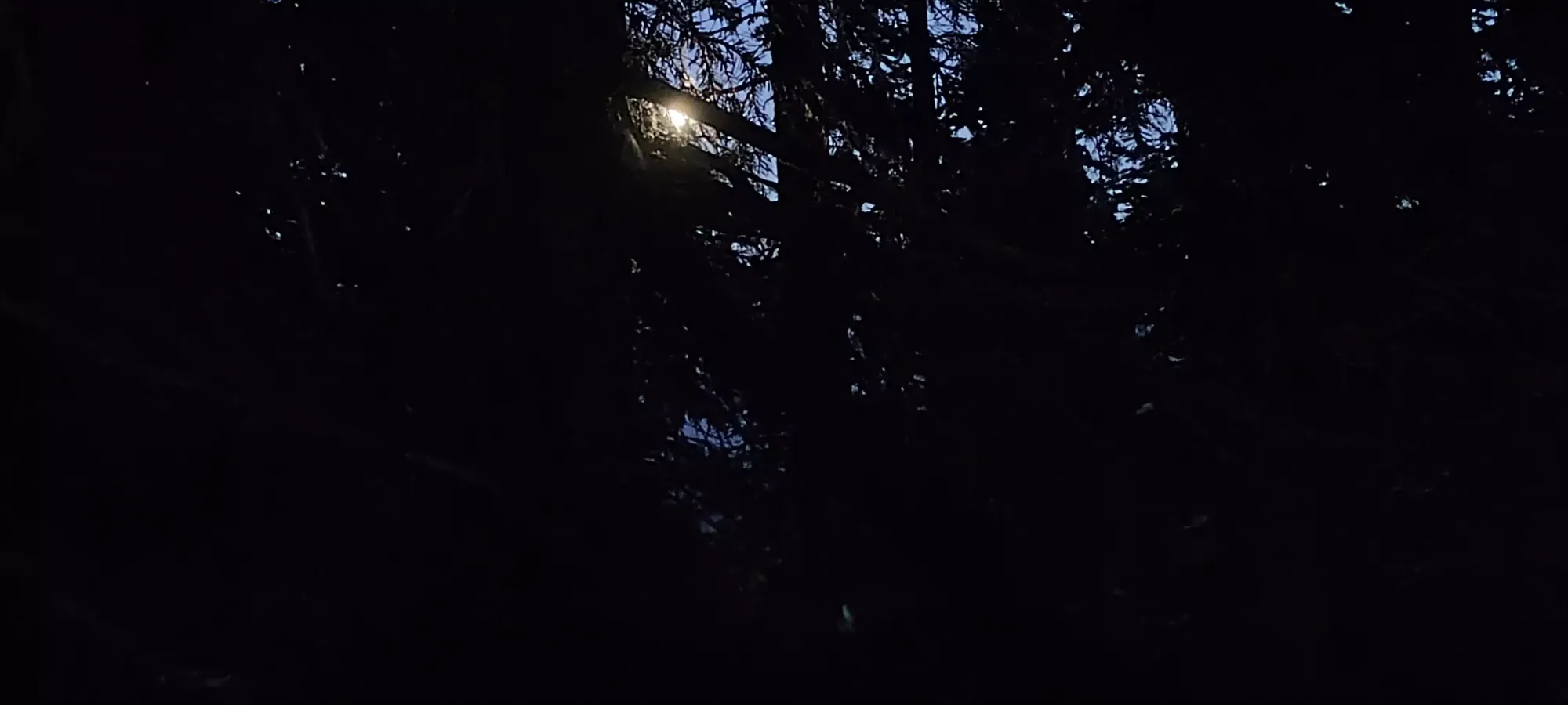
The forest descent was rather uneventful. The top had a couple boulder fields to navigate, but they were pretty short, and soon enough it was just "march down the steep trail for 500m until you're done". We had been keeping fun conversation all day, so the hour passed quite quickly. The ground had softened enough that we didn't really slip or anything while coming down, despite the steepness and light snow cover. We did end up putting headlamps on for the last third of the trail or so, but it was easy enough to follow that it wasn't really a big deal at all. At one point I did stop and point out the strange orange light in the sky, which Tanveer helpfully pointed out was "just the moon". I swear I know what the moon looks like, through the forest the shape wasn't clear, and it was more orange than usual 😅.
The drive home was uneventful, and we got home with enough time to get some takeout before everything closed, which was quite convenient, since I didn't really feel like cooking dinner at 9pm. Since Tanveer is American, I got the pleasant surprise of being able to be paid for gas in USD, which I was running low on, which was quite cool. Speaking for the trip as a whole, I would say it was quite excellent. I made a new friend, we got 2 peaks done, the terrain was perfect for shoulder season conditions, and the weather was just superb, I never even needed to put a shell on, let alone my fleece.
GPX Track + Map
