Spectrum Peak - January 3 2024
A less-visited peak accessed via Whistler Olympic Park, with some interesting lines, though i'd recommend waiting til later in the winter for optimal creek-frozen-ness

Squamish-Cheakamus Divide, Whistler, BC
1817m
After failing to get a midnight summit on new years (turned back due to avalanche conditions), I had been itching to start the year strong with a summit sooner rather than later. Luckily for me, Wednesday, my "designated late start for work day" was only 3 days into January, so with cooler weather having set in for a couple days, and avy conditions looking better close to home, I decided to go for something nearby I could still ski (because why do anything else in wintertime), do solo, and not end up super late for work. Enter Spectrum Peak.
Spectrum is a bit of a side-quest in the Whistler Olympic Park area, with the main things people aim for being Rainbow Mountain as the "big objective", Gin Peak as the "classic easy tour", and Mount Sproatt being in the middle as a popular but slightly longer tour accessed from the north/east side. Spectrum, as compared to Rainbow, is smaller, a bit "too out of the way" to be tacked on to an attempt at the larger peak, and offers less vertical, views, and prominence. Compared to Gin, it is a longer day, the skiing is more difficult, and there is more flatter terrain mixed with the steeper stuff vs Gin's consistent, pleasant slopes all the way to Hanging Lake. But, if you are a peakbagger, a peak is a peak, and if you're into more interesting skiing, you can get more steep lines, and there's a few chutes/couloirs you can find as well.
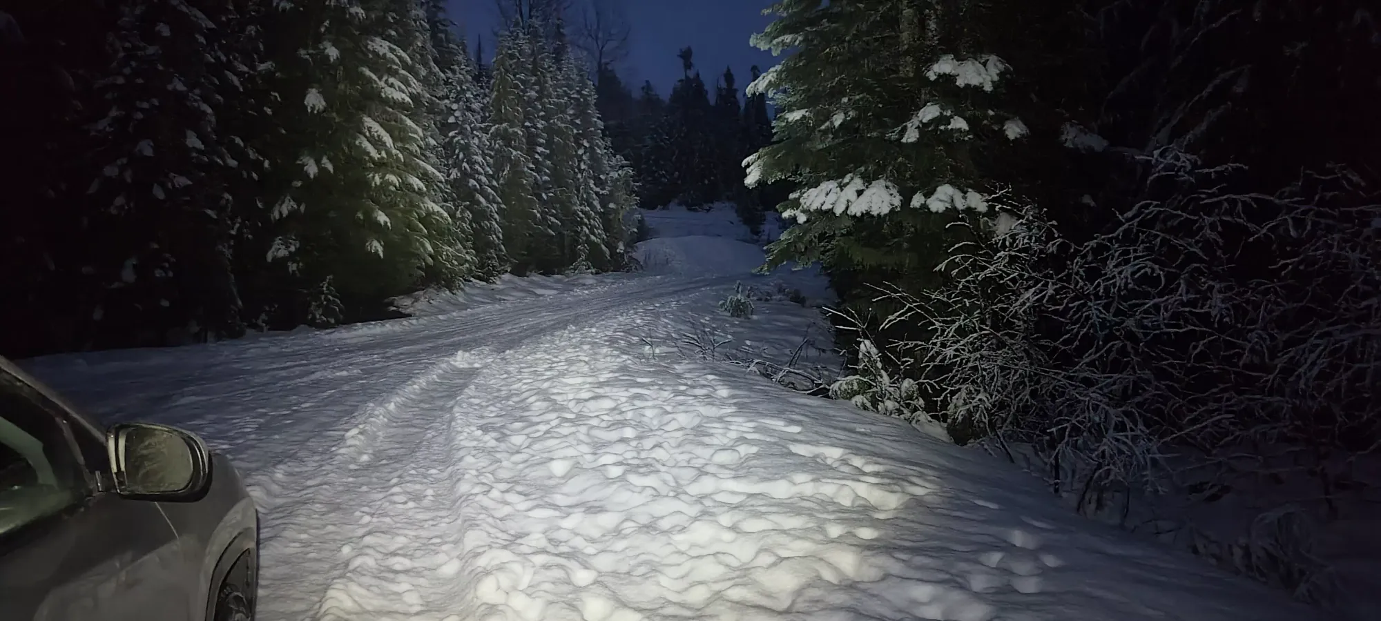
So, with all that out of the way, back to the day at hand! I woke up nice and early, and set out from home towards the Alexander Falls parking. I'd have loved to start 100m higher at the park itself, but they have an 8am gate (and fees!) so that wasn't going to work for my pre-work plans. So, I pulled into the (plowed but not free of snow) parking lot, geared up with skis on my back, as I expected the low snow levels to be an obstacle still, and got hiking along the road at about 10 past 7am.
I walked up the road til the first switchback, then diverted onto a gated road, a cross-country trail, then back onto the road at about 850m, then dipped into the Olympic Park terrain just before the top of the road. From there it's only a minute or two until the start of the Hanging Lake trail, which is the designated way for non-paying backcountry users to get up. It added about half an hour vs starting there, but hey, it was free, and it meant I got to start before I could've if I paid, even if I adjust for the half-hour spent walking beforehand. By this point, the headlamp was getting pretty optional (finally, days are getting longer again).


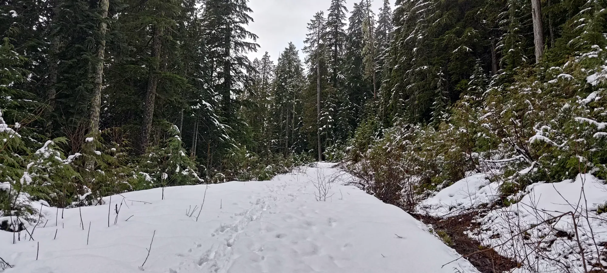
I wish I had the gumption and boldness to skin up the nordic runs, because the Hanging Lake trail was... not great. The wetness of low-elevation areas to this point in the season, along with a bit of snow from the last night which was melting made for a barely, if at all covered trail, along with lots of mud and general annoyance. Definitely NOT skinnable or skiable. The lower part was actually better since it's basically just an old road, but above 960m, the trail forks off of the road and away from the nordic terrain, and then the trail becomes more wet/muddy (at least with conditions like I had).
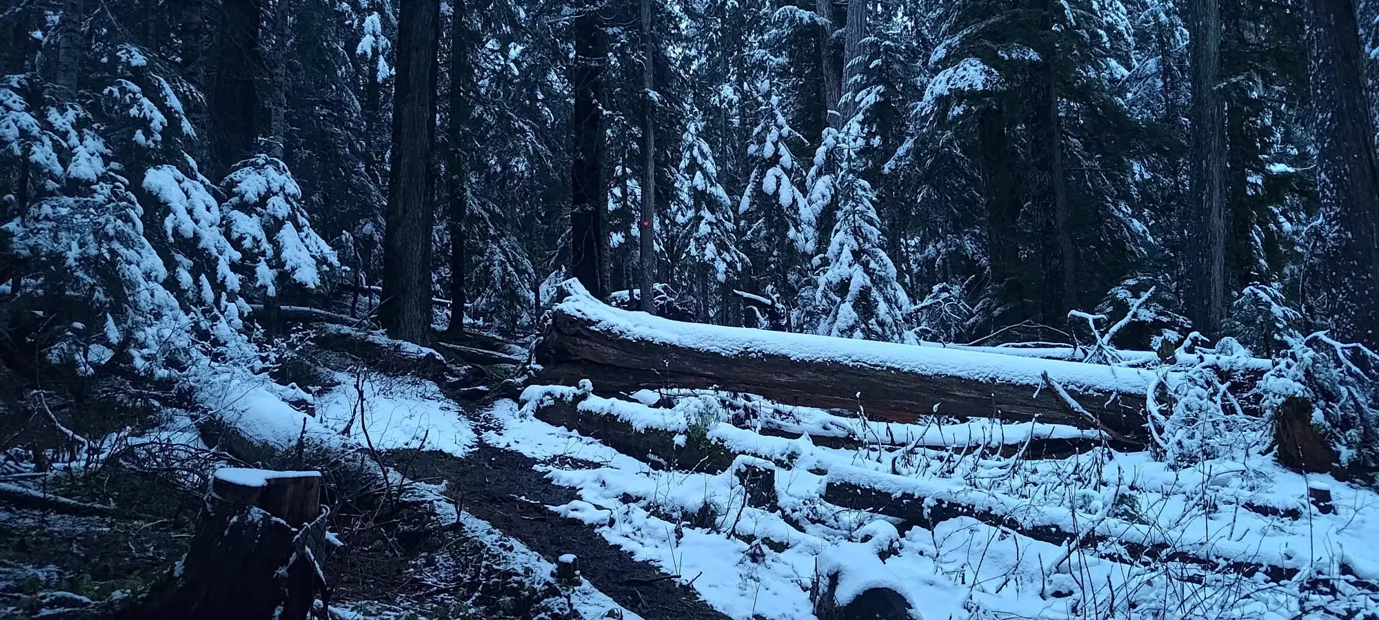
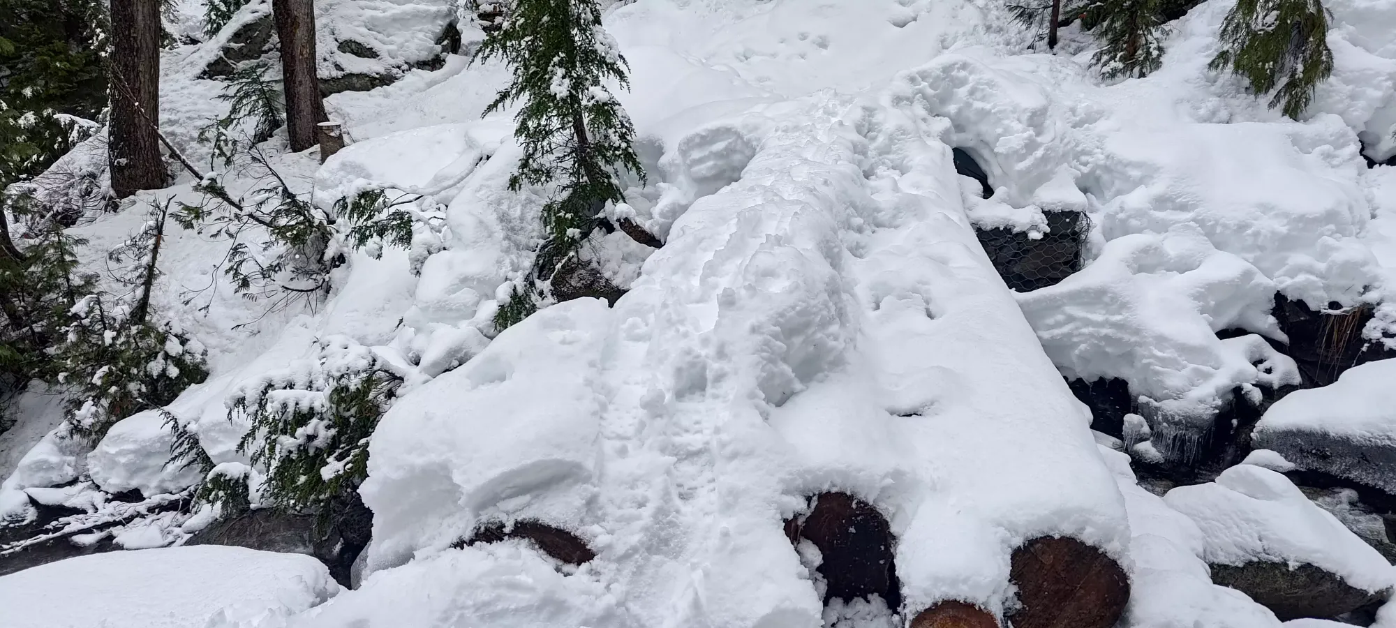
I basically just continued bootpacking up for the next 50 minutes, up to 1275m, where I made my "final" crossing of the creek draining out of Hanging Lake, and decided that the snow was consistently deep+present enough to justify pulling the skis out. To that point, things went from quite patchy and muddy at the bottom, to often thin and a bit icy in the middle, to snowy but supportive enough to just keep booting near the top. Until the last bridge just before I transitioned, I would not attempt to ski, since the patchiness, frequency of creek crossings, and snow quality are all very poor. I can't believe I skied down to the base when I did Gin Peak, it's crazy how bad the snow is right now. The misery was further augmented by active rainfall, the trees unloading wet snow onto my head, and my glasses being foggy as heck the whole time.

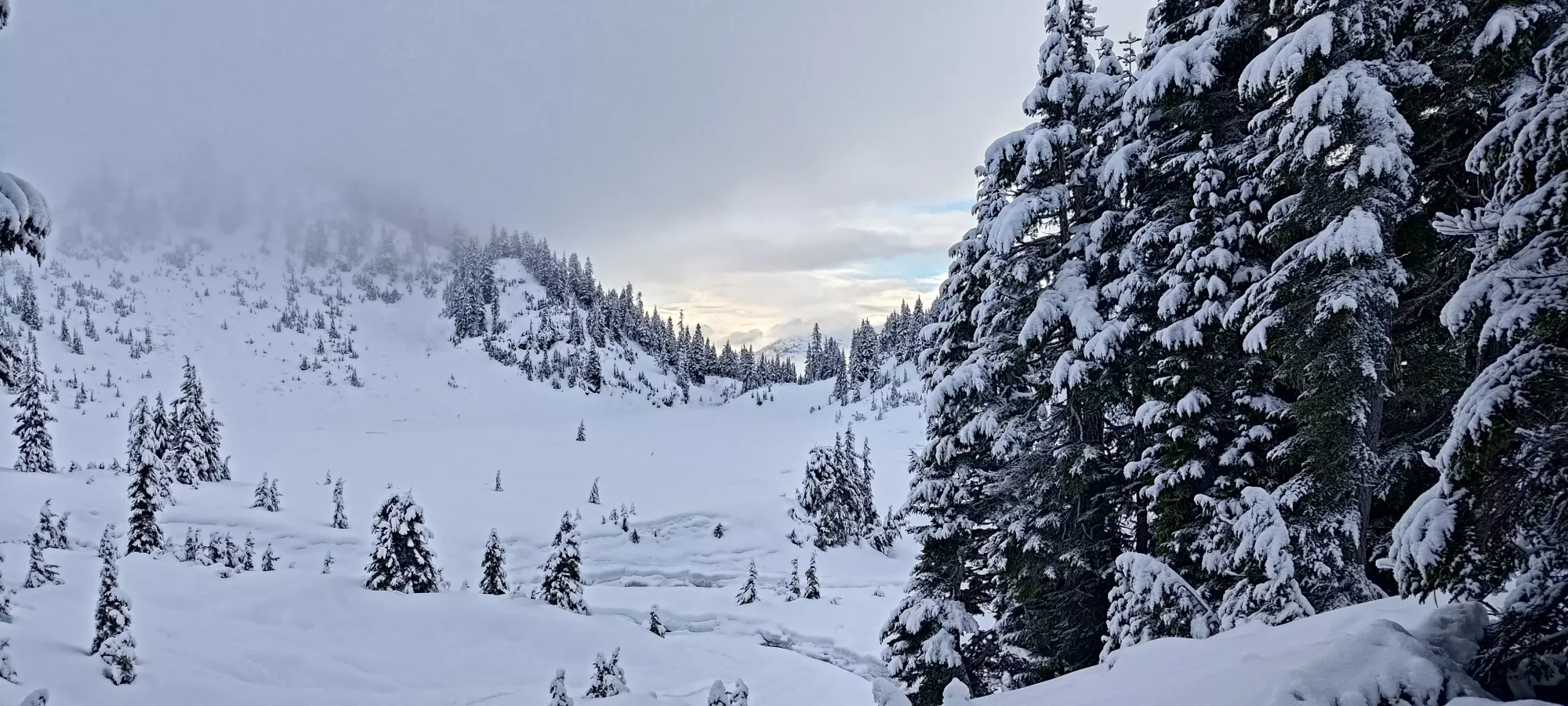
The benefit of booting so far is that it wasn't a long skin to the lake at least. Within 10 minutes, I got to the start of the boulder field just below the lake, which sadly was quite firm/crusty under the wet dusting of snow that fell the last night, as it otherwise offers some great pillow skiing. Fifteen minutes of getting through that, and I was at the lake! Sadly, my excitement was dashed quite quickly when I saw how thick the cloud cover above was, that didn't bode well for my plans to enjoy myself, or add much variation to the route I'd roughly planned out.

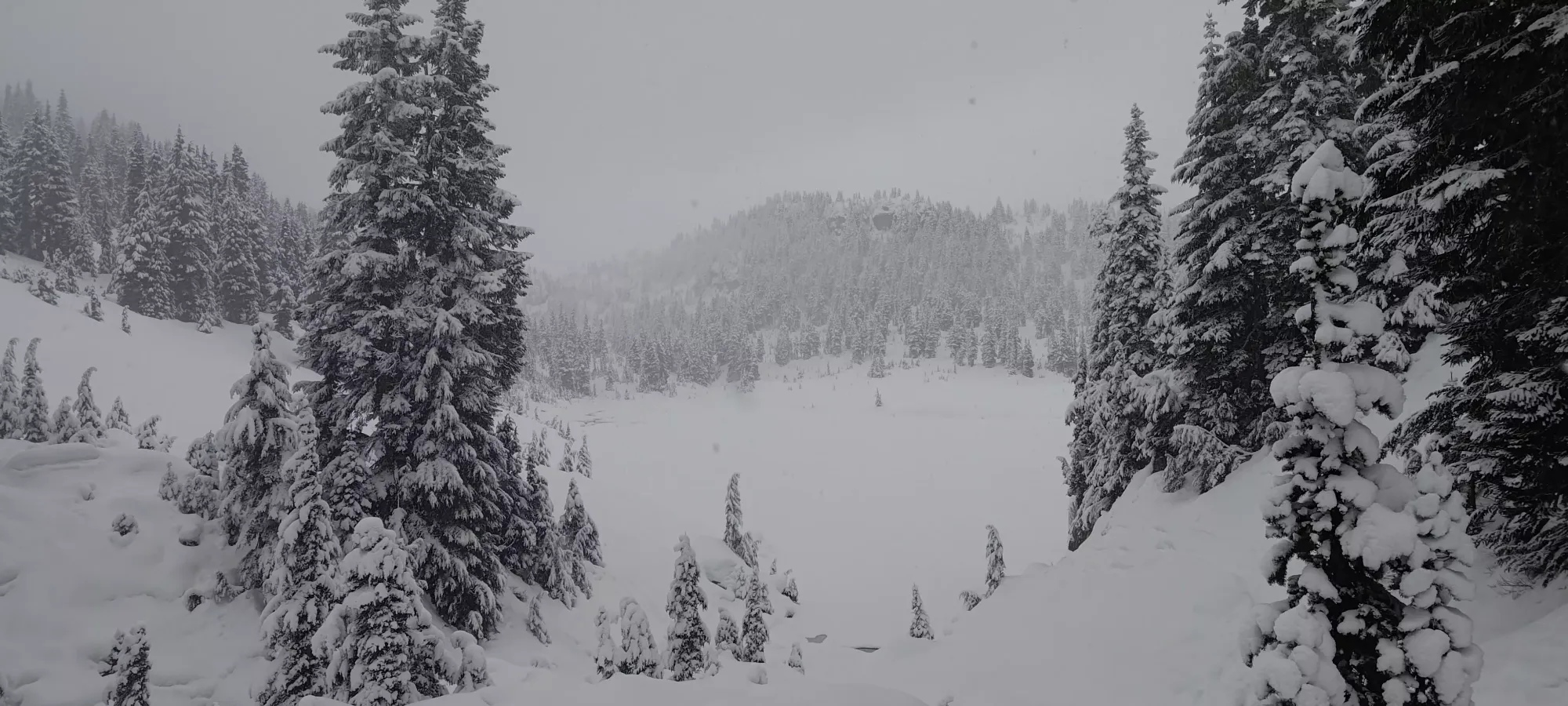
The lake crossing was quite uneventful, the only thing of note being that this is where I lost any semblance of old tracks, and was routefinding/trail breaking entirely at this point. I got across just a bit too far to climber's left, meaning I had a rather interesting contour around the creek draining out of Ninja Lake. It was "fine", but especially on wider skis or snowshoes, you'd want to go further right to avoid having to sidehill along the creek.
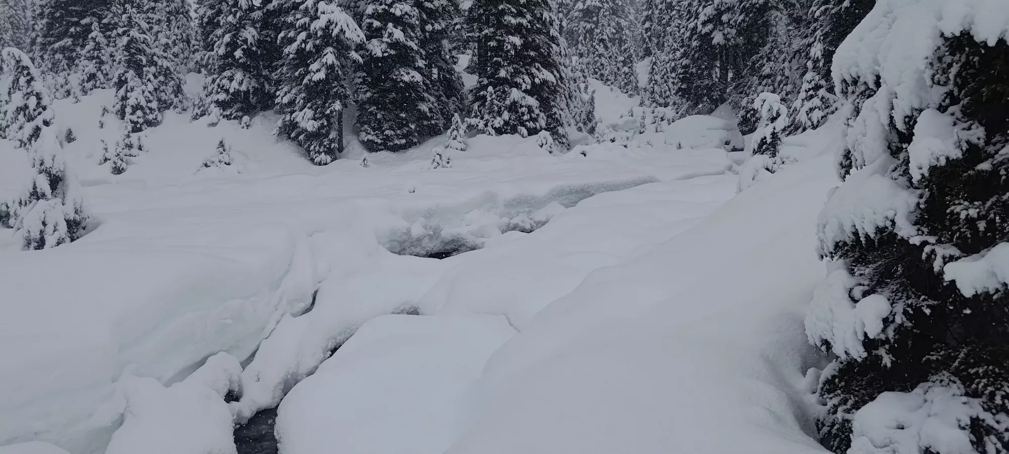

In 20 minutes of skinning, I managed to gain around 100m, which is honestly very surprising to me given how little snow there was. The creek was actively flowing, fairly intensely at that, so I couldn't just walk straight up as I'd hoped. Instead, I had to walk up the boulders on either side (which were crusty and required one to care about each individual one), and cross the creek a good few times, which was not always a trivial task. One crossing even required a scramble-hold on an adjacent rock to pull myself across fully 😅. This season has definitely got me to work on my "extreme skinning" skills.
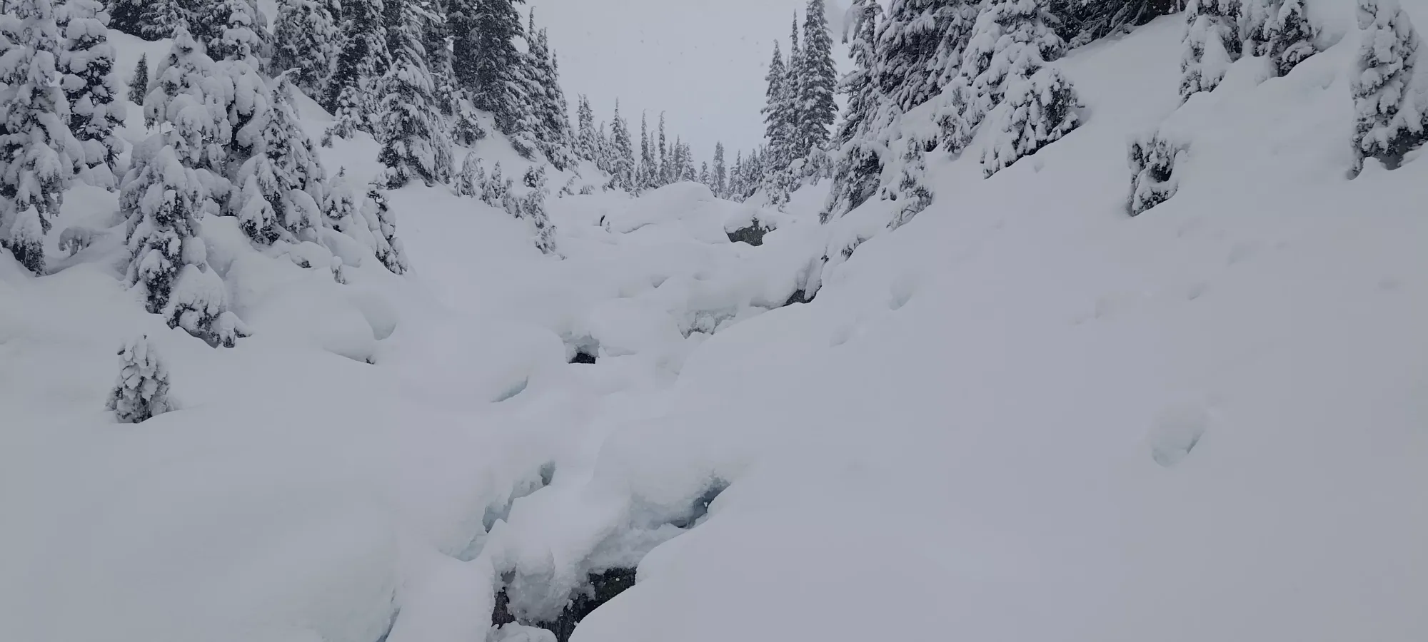
15 more minutes at the same pace brought me up to 1575m, where the terrain was still pretty much the same grade, but now more filled-in, with the creek more often bridged than not, which made travel a lot simpler. Around this point, I had the option to try and go up the south face directly, which I'd heard was a fun little couloir, but sadly with the low clouds, I couldn't even get eyes on it, so I abandoned that thought for the more straightforward approach of going all the way past the summit along the creek's path, then contouring up the east side of the peak at around 1650m instead. This had a few more steep+open slopes, but the snow conditions were solid, and it offered me easier routefinding and a more straightforward ski down in the poor visibility.

A little under 20 minutes brought me to 1665m, where I finally turned up from my gentle northward plod to the steeper east face of Spectrum. The slope angle basically immediately increased, and I started cutting switchbacks into the slope where I could. I'm sure there's a simpler/safer/easier way up, but in the visibility I had, I was at least lucky enough to have stable snow, so I just went up "where I could see". That ended up putting me on the climber's left of a fun-looking gully which was wide enough to ski, but sadly the drop-in from where I discovered it was too steep/long, so I had to live with the simpler face terrain I found myself on instead.

In fifteen minutes, I'd managed to get up 70m of elevation, or about halfway up this steep part. I was originally worried I might cliff myself out or find some kind of obstacle that was impassable, but thankfully things kept working out, and I continued to be greeted by steep but skinnable slopes.


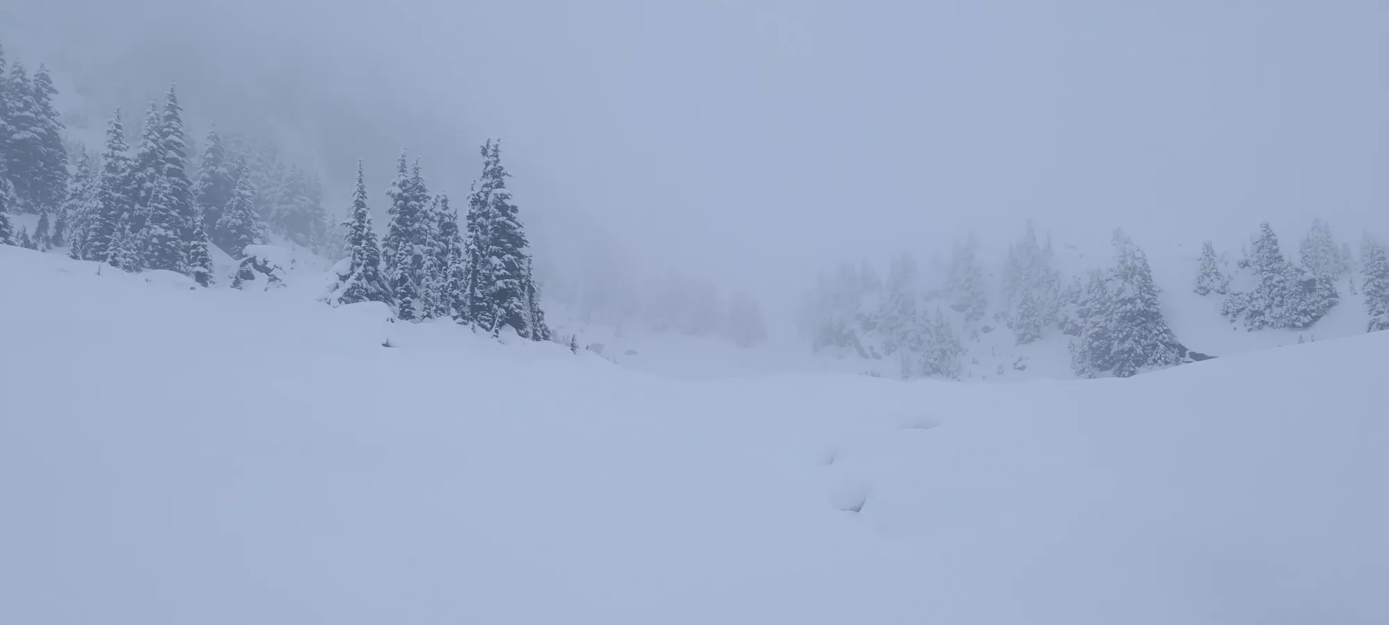
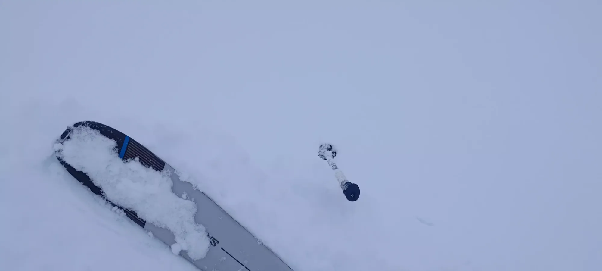
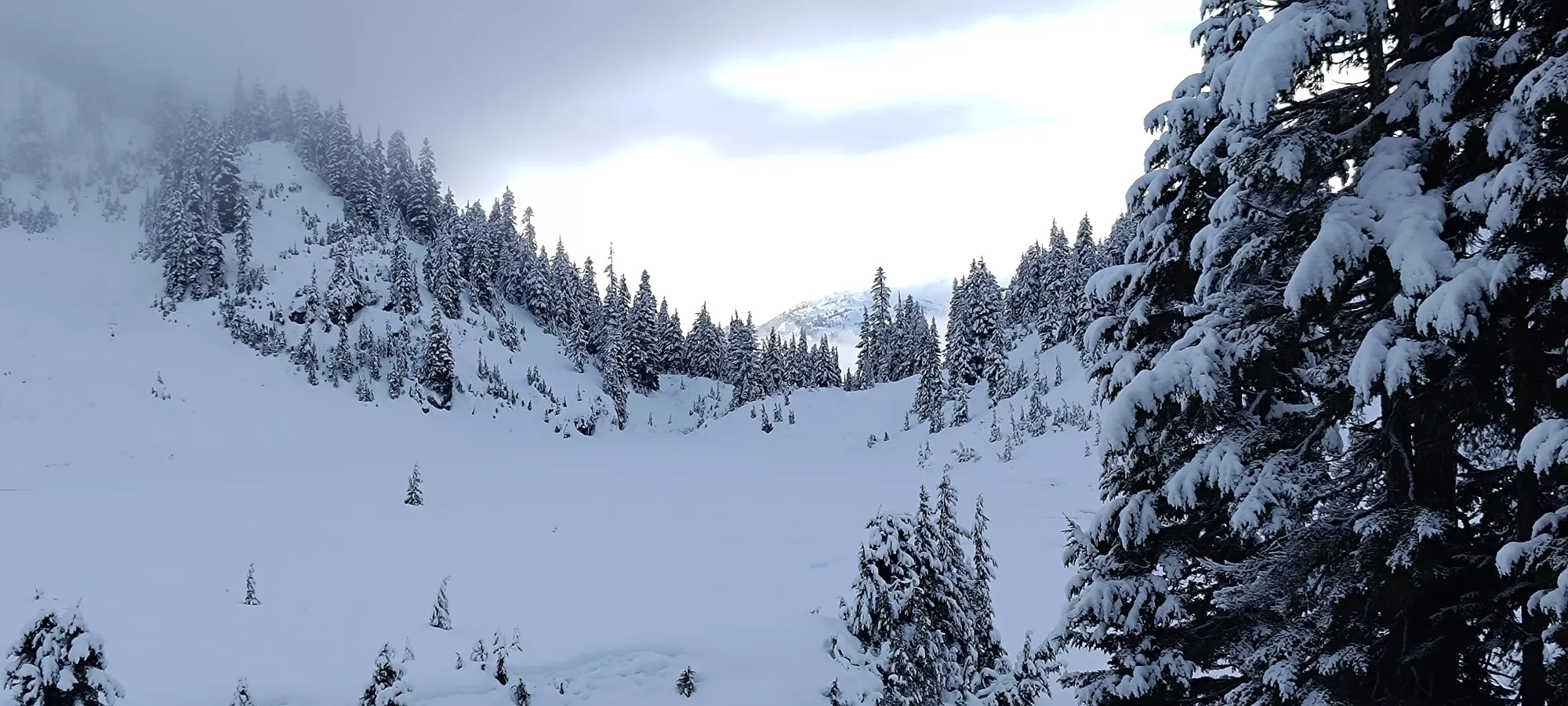
Looking up and down, not much to see, really
10 minutes later I was at 1790m, getting quite close to the top. I found myself with the probable start of the gully I saw on the way up in between me and a rock feature I had to get across or around to continue my way up. The drop in, down, and around seemed like a lot of work, and scrambling up also seemed like it'd take too long to transition to bootpacking, so instead I went with the halfway approach: skin up to the thin, downsloping bench halfway up, and hope I could keep an edge the whole way around to the right side where it emptied out onto a snowy face once again. This actually worked really well, although the final turn around onto the face was a bit spicy, since there were barely-covered rocks I discovered the hard way, and I had to carefully clean the snow off and find an edge to make 5 or so steps before I was back on solid ground/snow.

From there, it was a simple walk for a couple minutes up the final stretch onto the summit! It was hard to tell at first, so I checked a few different mapping apps, but after consulting them, doing some wandering, and waiting for clouds to shift around, I was able to confidently assure myself that I'd found the highest point. After appreciating the stupendous views, I transitioned at a casual pace, and got myself ready for the descent. I'd been a bit worried the whole way up with the near-whiteout visibility, so I knew I was going to have to take the boring way down of just following my skin track, but even that was going to involve some major concentration and restraint, since there were still small cliffs, wind lips, and other obstacles to avoid. After spending about 15 minutes on the top, including a rare "Tareef drinks water on a solo hike" moment, I started picking my way down.

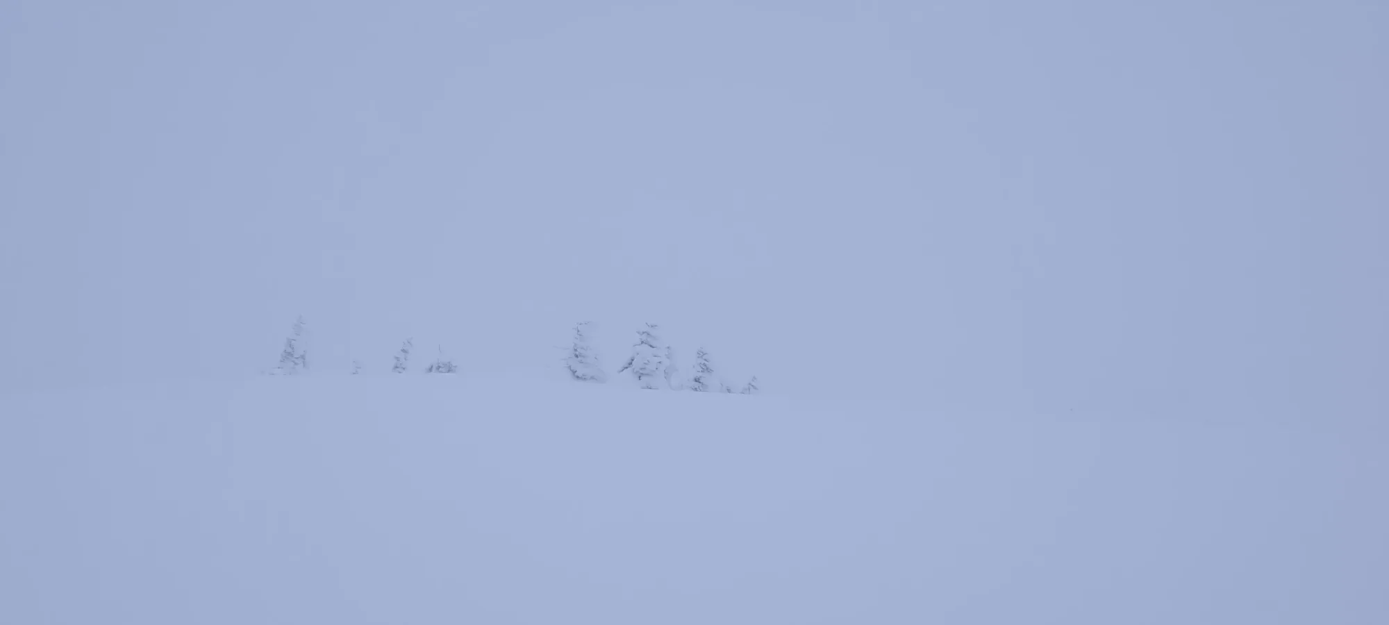

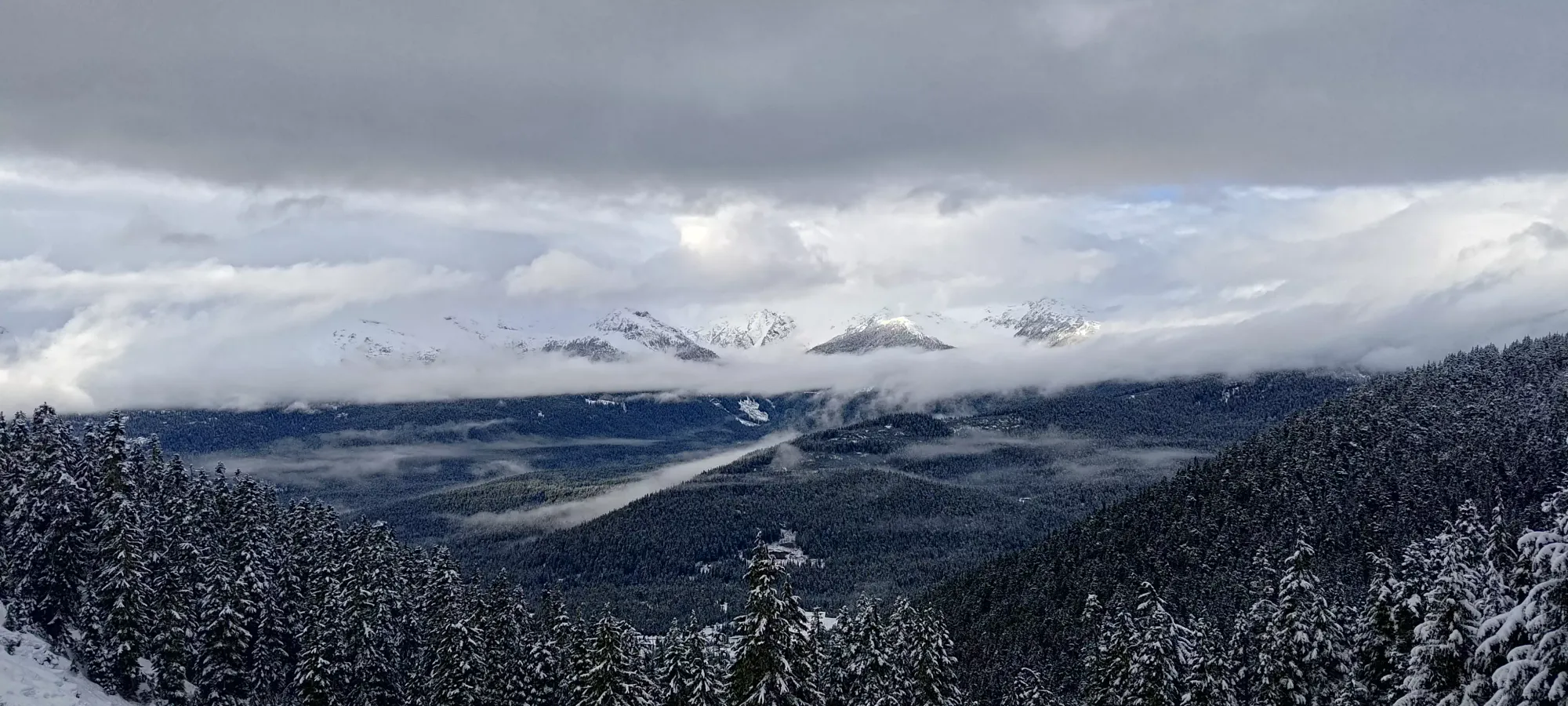
Such amazing summit views, I know

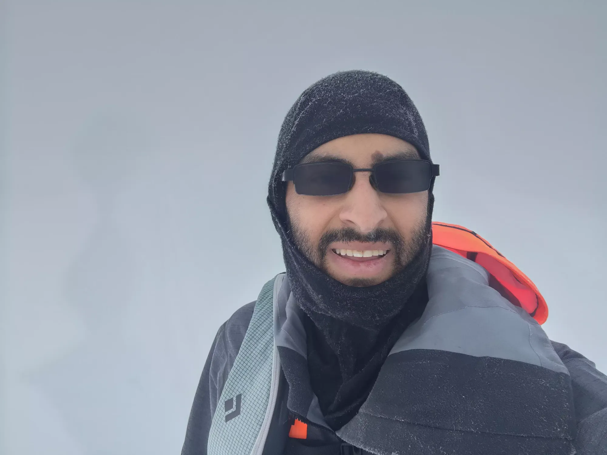
2 selfies, one for each potential high point I found. It's hard to believe, but these are actually distinct photos
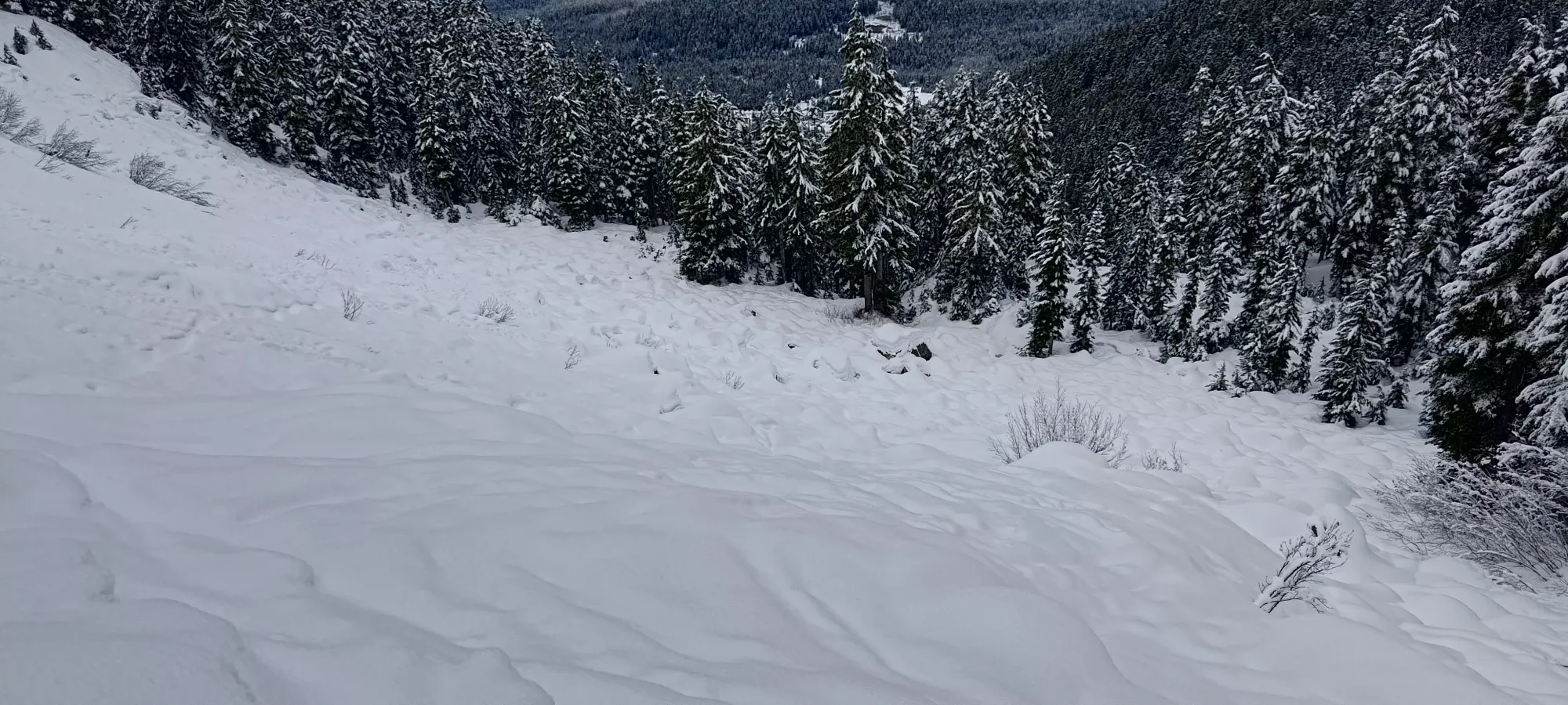
The best skiing was the 150m or so from the summit to the start of the long, gentle, southward ski down to the lake. The snow was a bit firm/sticky for the elevation, but I guess that's just what we get in 2023/2024. It was still definitely more fun than walking, and I got down in 5 minutes despite the terrible visibility. Once I was down there, it was a much longer ski down to the lake, taking about 30 minutes in total. I struggled to maintain speed (I considered waxing my skis beforehand, which I definitely will do now after this trip), and when I could get speed it was likely to require me to cut it quickly to get around some larger boulders or to cross the creek. There were also a good few sections I had to make a couple steps to get up and past an obstacle. Overall, this part was "better than walking", but not by much, and would be well-served by enough snow to bridge the creek fully.


Once I got up the final hill above the lake, I was greeted by the disappointing revelation that if I had just been able to work early and start late (sadly work and nature make that difficult in the winter), that my visibility would've been way better, as I actually got to see the summit area of Metal Dome with the sun behind as I looked over Hanging Lake. Oh well, that's a nice bonus, but not why I climb mountains, so "at least I got to summit". I skied down to where I could no longer ski, slapped the skins on, and crossed the lake.


After crossing the lake and making the small climb to the top of the boulder field, I remembered my mom telling me she wished I ate more on my hikes, so to make her happy I had a 20-minute break where I ate my peanut butter sandwich. I also gave my skis a little bit of rub-on wax, hoping it would help with the stickiness I was facing (some snow had even glopped onto my bases previously, which was a bit worrying). I got some photos across the valley towards Brandywine, and started the ski down to the bridge where I'd have to remove my skis again.
I got a bit under 10 minutes of skiing in getting down from 1420m to about 1250m, though that's mostly just because it was such bad skiing on thin+crusty+wet snow that it was a careful, slow process than because there was 10 minute worth of terrain. But hey, it is still not walking! Once I got to the bridge, though, I knew it was time to pack the skis back up, so onto my back they went for a tedious walk down the Hanging Lake trail.
The next 40 minutes brought much tedium, many creek crossings, a decent helping of mud, and a metric ton of water on my head/face off of the trees, but at least culminated fairly efficiently upon my return to the road. I checked my maps, and I probably could've gone up and around the road into the Nordic terrain, but that would've added unnecessary distance, and it wasn't groomed, so I decided to walk a bit further to where the Nordic trails got closer to the hiking trail, and dip into the resort terrain at that point to ski down as much as I could.

Taking the groomers down allowed me to descend about 50m with minimal skating up small hills, so I consider that a win. After that "main descent", I stuck on the Nordic trails for a bit longer, until I had to cross the road, since the trail that normally goes under the bridge was free of snow at the bottom. On the other side, though, I picked a slightly different way down than my way up, which ended up being a fairly downhill and groomed run, which allowed me to get most of the way to the water treatment facility before I just had to "shuffle forwards on my skinless skis" for the remainder of the run, and the road leading from that facility to the main road. With a short boot back down to Alexander Falls, I was done in just over 6.5 hours. A bit long, mostly due to the lack of good, skiable snow below 1500m, but not too bad still for over 18km and 1100m gain solo in the snow.
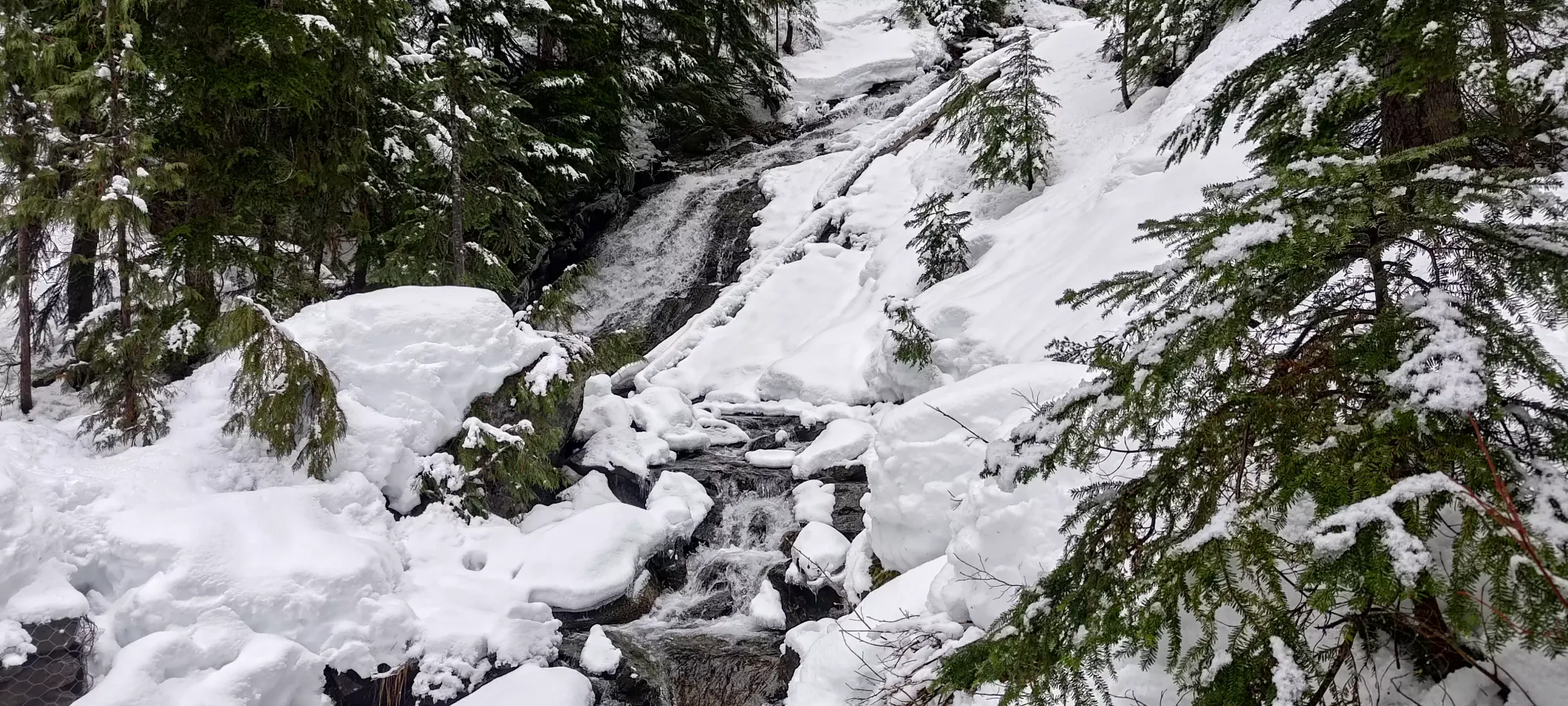
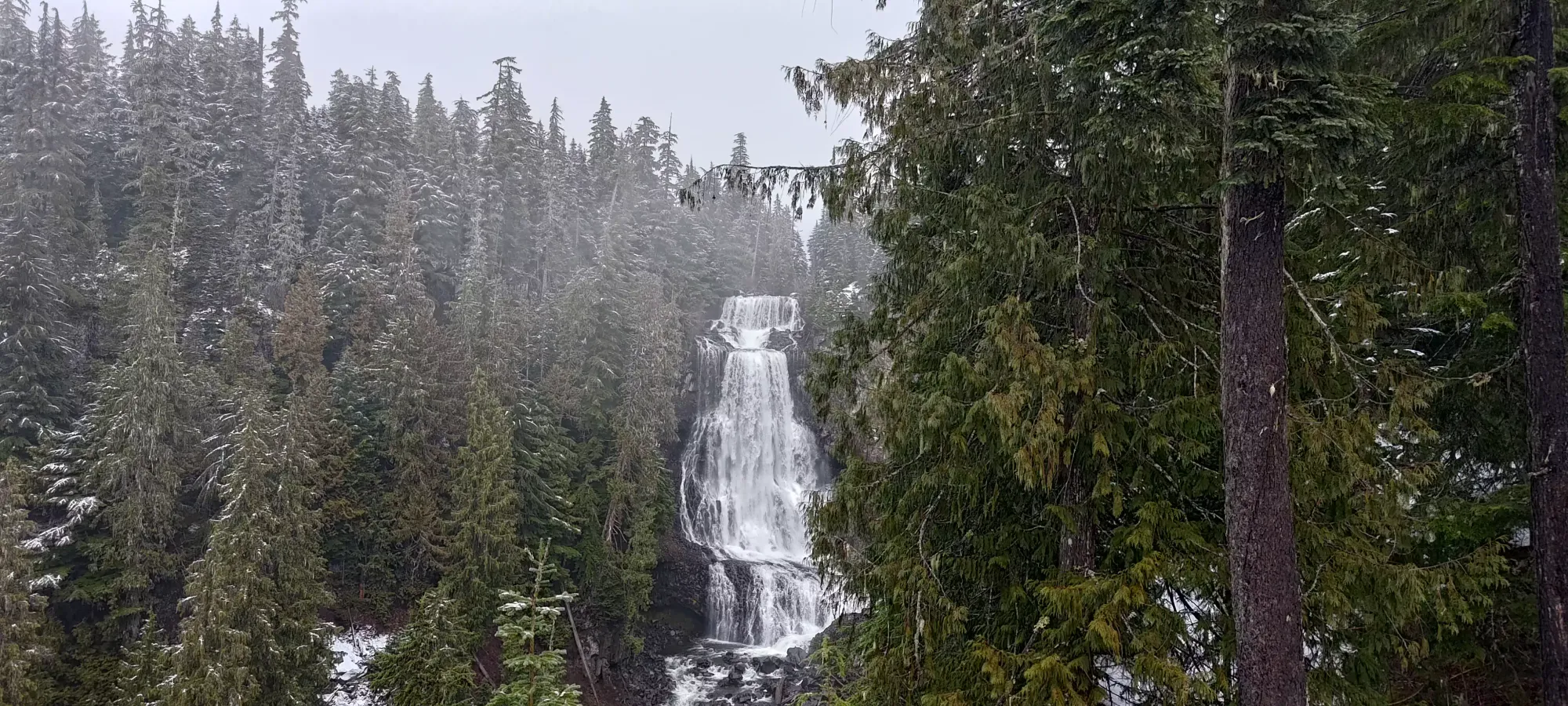
With that done, I packed up and headed back home, with a quick jog down to the Alexander Falls viewpoint, which ended up being quite worthwhile, I had no idea they were so big/impressive. Definitely worth looking at if you're forced to park there anyways.
Overall, while this was a fun enough trip for me, I'd recommend waiting on more snow for this peak, at least if you're a skier. There is fun to be had, but that comes with colder snow for the shallower bits, and "just more snow" to make the creek crossings less annoying, and ideally, to be able to ski down the entire Hanging Lake trail.
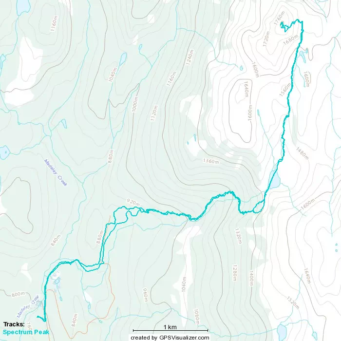
GPX Track + Map