Sootip Peak - November 19 2023
A good shoulder-season snowshoe summit with good road access, if timed correctly


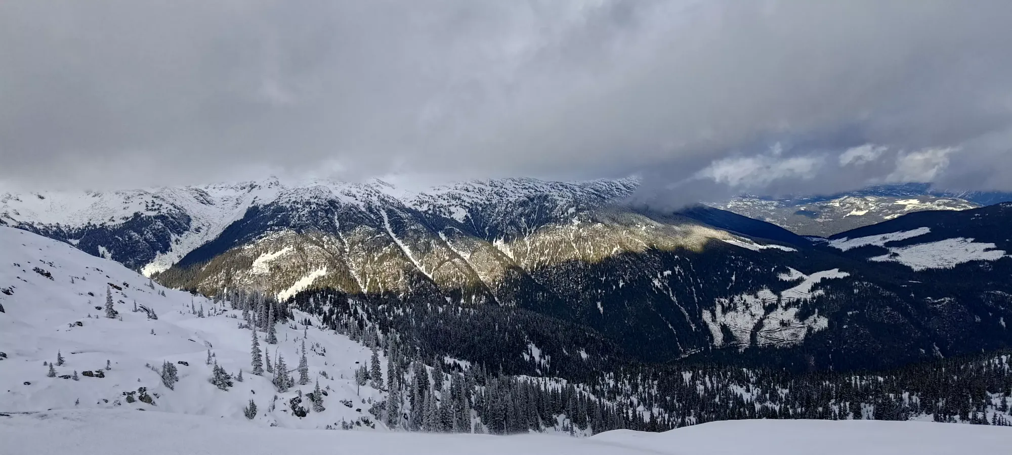
Pemberton Icefield, Whistler, BC
2055m
This mountain is one I've actually visited more than once. Earlier this week, I took a day off as compensation for a weekend worked, and went to check it out, hoping to ski a mellow peak near Whistler, where the most snow had fallen from recent storms. Sadly, while I was right and could drive fairly high on the road, the forest coverage wasn't very good, and above, I wasted a lot of time trying to follow the "official trail" which wanted me to cross some rather not-frozen lakes, so I ended up turning back instead of summiting. With that failure pressing on my mind for the next few days, I really wanted to get it "finished" sooner rather than later. I spent the Saturday of this weekend doing some avalanche skills practice, so that left Sunday. Due to the seasonal closure of the Soo River FSR, this was one of the last weekends one could access the mountain, so I managed to get Logan and Michal to join in for the adventure.
We met up a bit before 8:00am in Squamish, and took my car up. It had been dry since my previous attempt, though warm and sunny, so we were hoping the road was only going to be better. However, the night before, it got cold, and was snowing actively as we made our way there, which complicated things a bit. The mainline FSR in the valley was fine, but the branch going up to the cabin/trailhead was in less good shape. The lower parts without snow were fine, but the rapid cooling and snow meant that the tracks in the snow were quite icy, and we didn't get too far up the road, only to about 1150m elevation, lower than I had previously. A 4x4 truck was coming up behind us, and watched us fail to get past a certain point, and I was going to feel bad about watching it drive by, but they actually failed to make it as well, so that helped my ego a bit. I even tried chains on my front tires, but that didn't do it either, so we just parked off to the side of the road. I could've MAYBE aired down to get through, but that would add even more time, and we had no idea if it got even worse (it did), so that didn't seem worth it. So, after all that driving drama, we finally started hiking at about 9:50am.
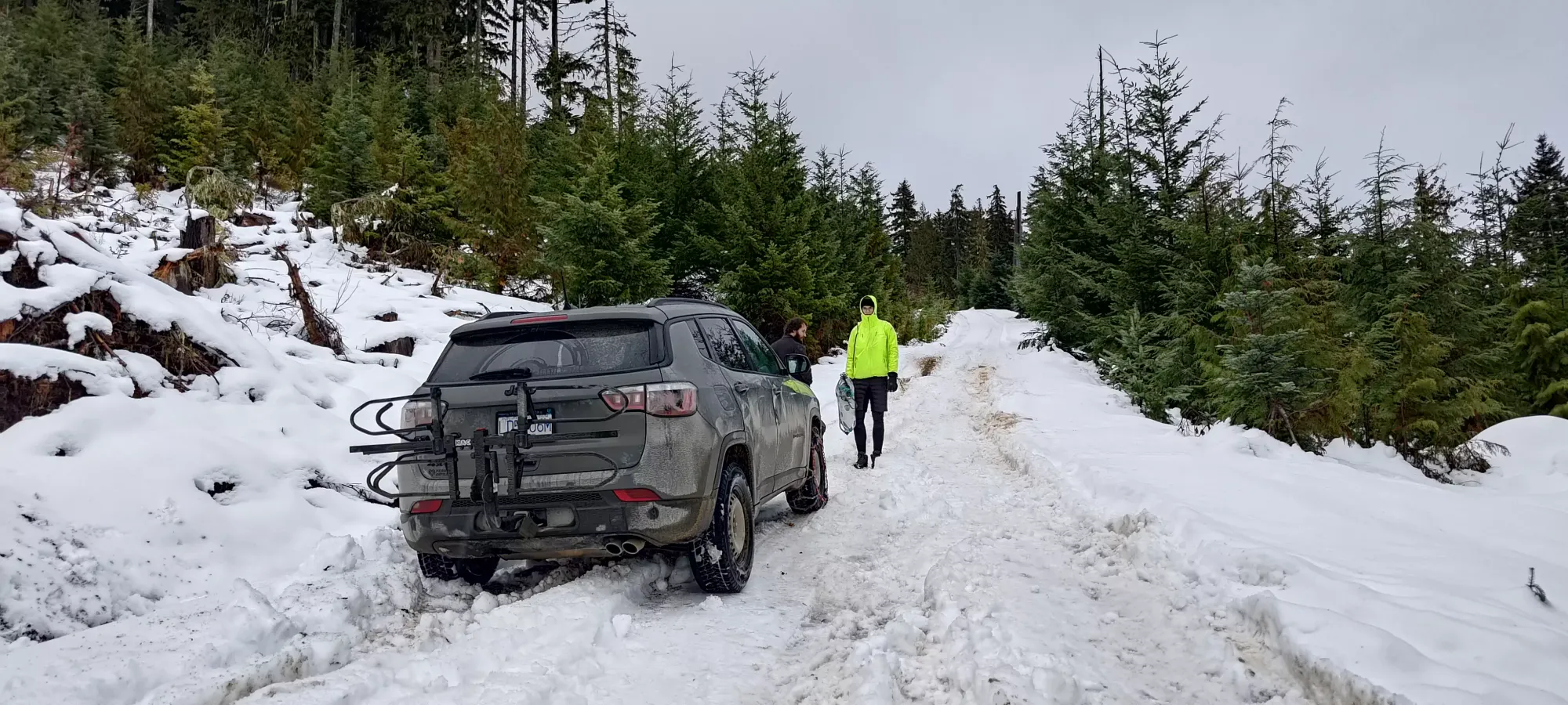
The hike up the rest of the road was pretty uneventful. It was indeed icy, so Logan had snowshoes on from the car, but me+Michal preferred to just step carefully and keep our feet light. My winter boot, which I probably bust out twice a year, did quite admirably. I'd probably wear them more if I didn't just aim to be in ski boots whenever possible. We got to the hut in 35 minutes, where we found a couple Jeeps who'd camped overnight (nice way to avoid the icy roads), some friendly dudes, and some less friendly unleashed dogs who barked at us for a solid 5 minutes before calming down. We popped our heads into the hut to see an upper level with room to sleep a few, a wood stove, a table, and some bench seating, so "a nice enough place to chill". We didn't linger too long, though, as we still had a mountain to climb.

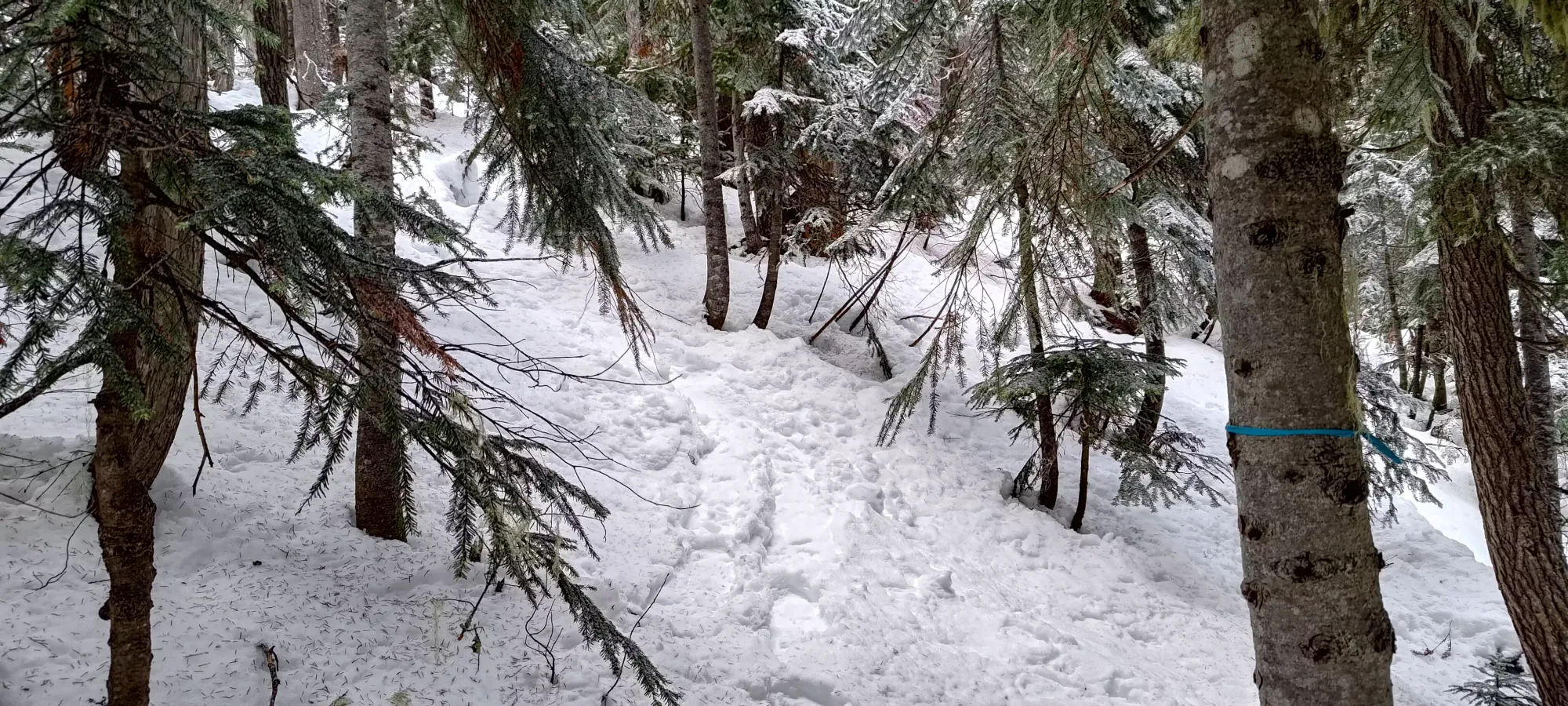
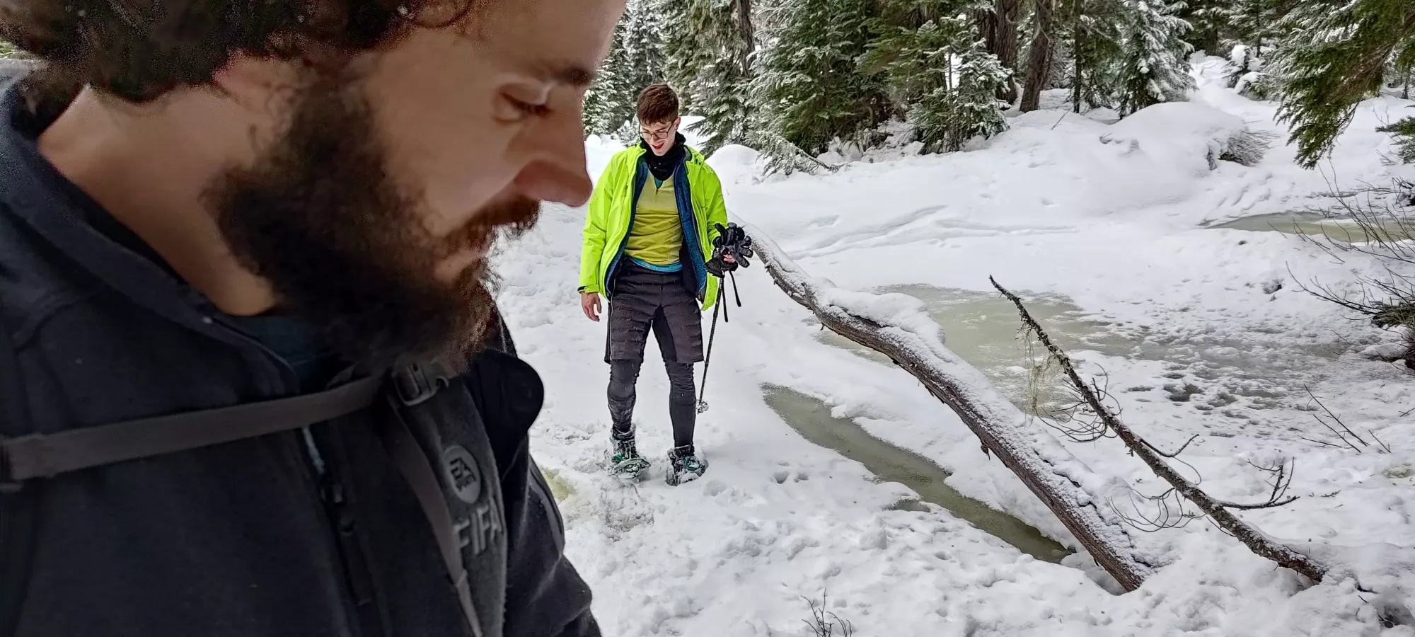
From the hut, I was happy to see some people had poached my tracks and snowshoed up past the hut. Unfortunately, after the cutblock right above it, my tracks didn't exactly go the most efficient route up, so we were a bit hesitant to follow them. We also didn't decide to follow the official trail which might've been more clear, but instead did the worst of both worlds, and broke trail through the forest in-between the two, which worked, but probably wasn't the most efficient choice. Near 11am, we encountered the "forest crux", a creek crossing that took some creativity to complete. My ski day tackled this with an equally-sketchy crossing on the way up, but avoided it on the way down, but that track was so bad we didn't even consider using it. We all managed while staying dry, though, so no harm no foul.

Not long after, we picked up some snowshoe tracks, and within 20 minutes, we also managed to rejoin the flagged trail, which simplified things. From there, it was no more bushwhacking, and just following the tracks up towards the lake.
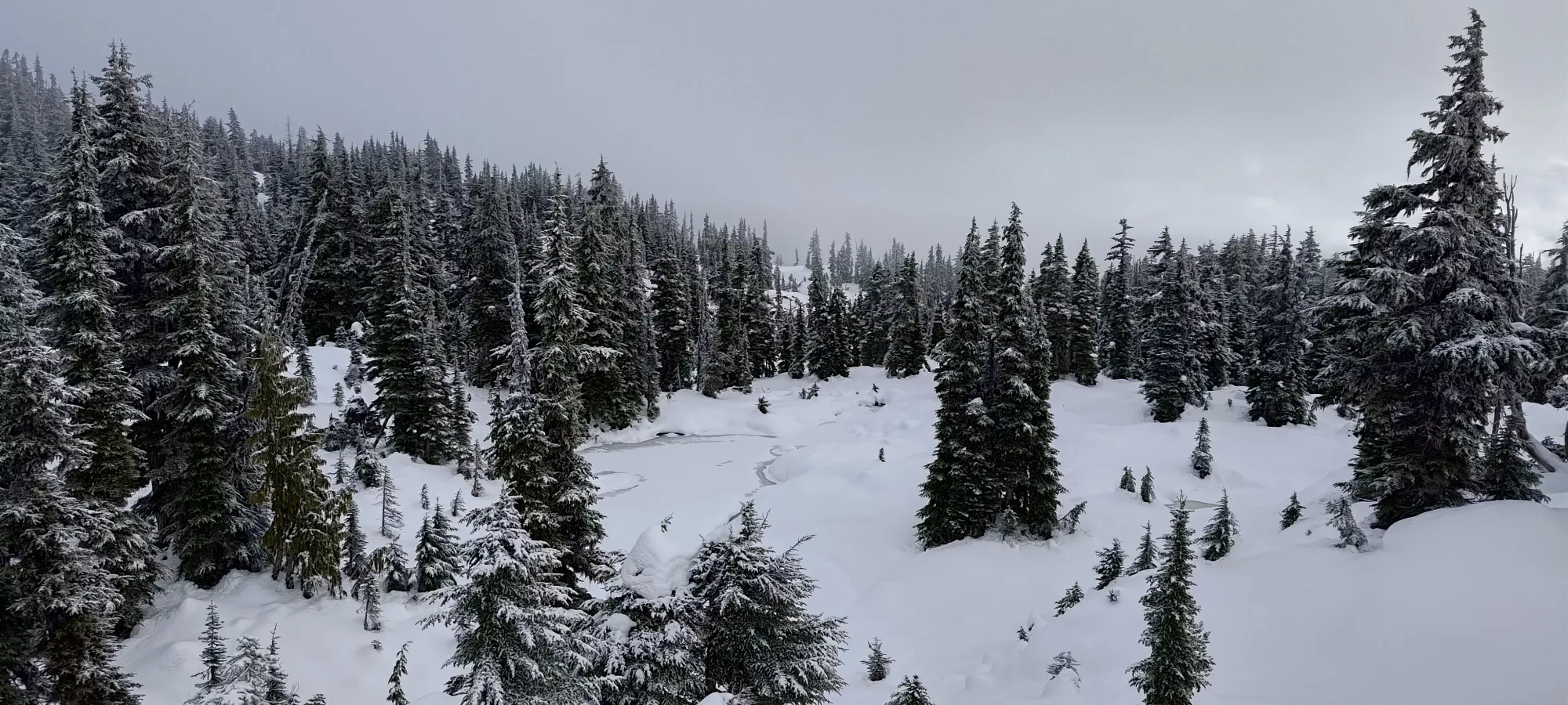
There's a small flat spot where some ponds form near 1550m, which was definitely softer than Wednesday. I managed to tread lightly enough to not punch through, but the other guys were not quite so successful. Thankfully we managed to avoid anyone getting soaked, but that along with "just how much less snow there was" were a stark indicator of how much the last few days of warming both settled and melted out the snowpack.
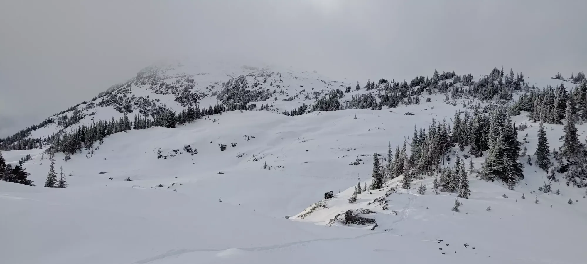
Soon after, we got out of the forest and into treeline. Here, my ski tracks were easier to discern, along with a distinct set of snowshoe tracks that weaved in and out of them, as terrain dictated. We got to the top of my ski tracks around 11:45am, and disappointingly, the end of the snowshoe tracks about 5 minutes later. I was hoping, after seeing those, that whoever followed me up had decided to bless us with a broken trail to the top in return, but that was unfortunately wishful thinking. I guess it was my destiny to fully experience the "suffer" part of suffer slippers, as punishment for me betraying my skier's morality and using snowshoes for the day.
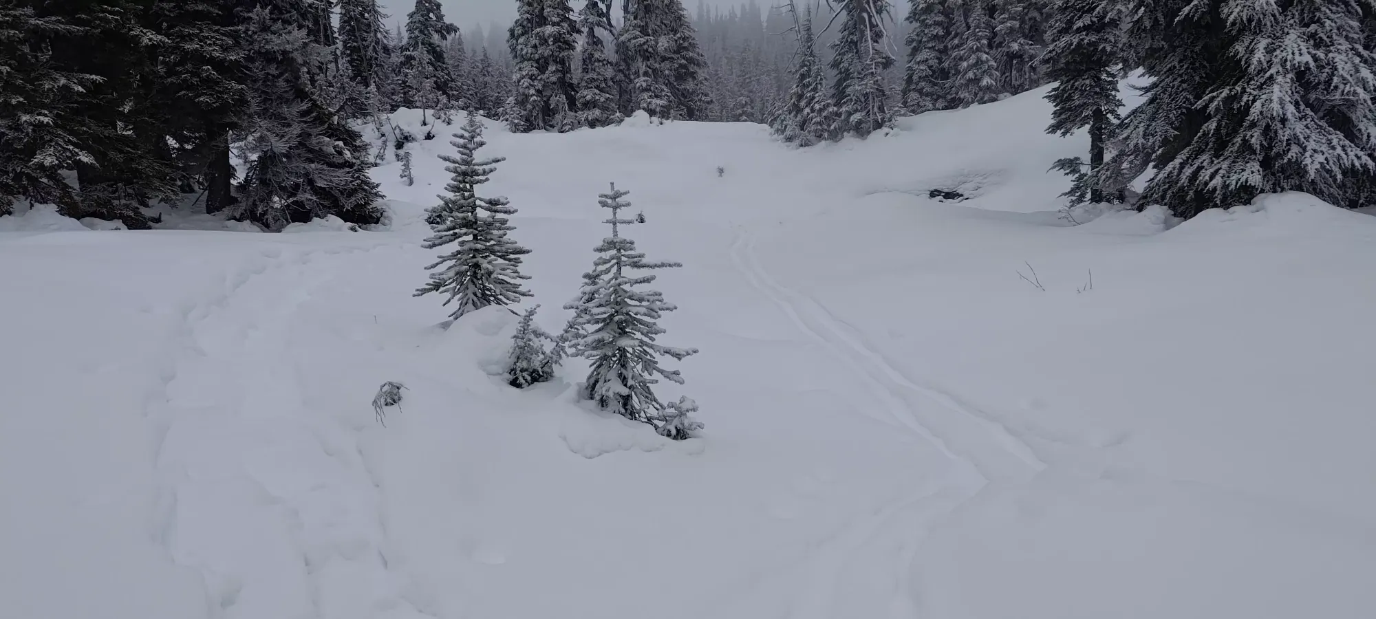
Getting to this point is quite easy, but getting past was the real slog of the day. Breaking trail in the heavy, crusty snow was a tedious process, and the long, undulating terrain didn't help with making things feel progressive. I broke trail for the first km/100m of gain, winding us through a bunch of small ridges and valleys until we had to turn to climber's left to start heading west as opposed to north, where I let Logan take over for a bit. There were a few more pond and creek crossings, but thankfully we got through without issue. This section did take a while, though, almost half an hour for only 100m of gain.
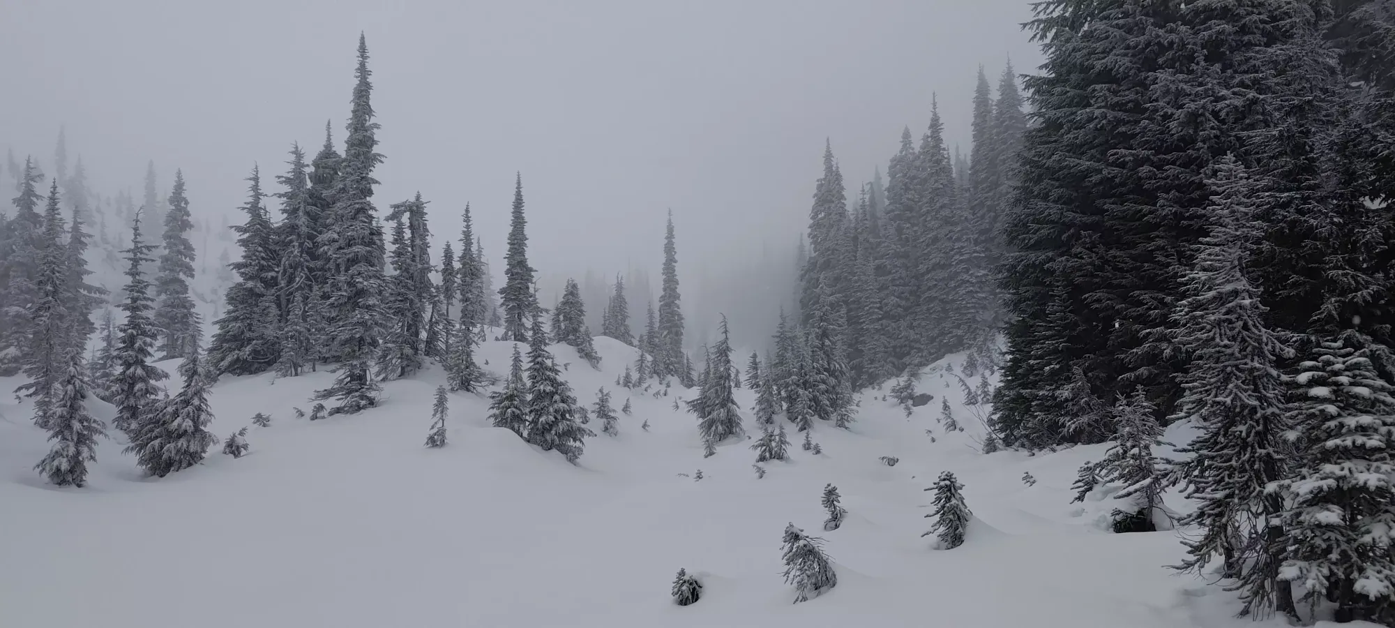
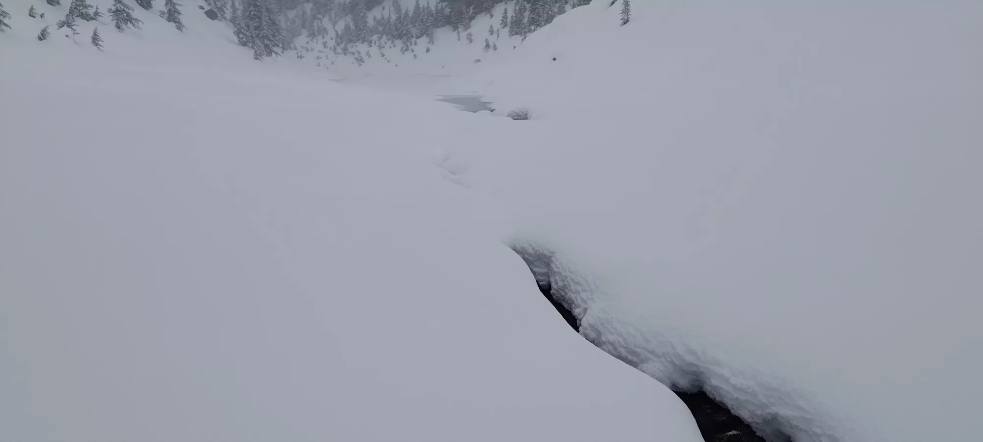
Once we got turned west, and navigation was a bit easier, we started swapping out trail-breaking duties, which was a very welcome change. We took a somewhat circuitous but fairly functional route through the rolling hills for the next kilometre, gaining not much elevation at all, but at least "getting to the point where we could start doing so". There were a bunch more frozen ponds, but these at least seemed to be a bit colder, and none of us managed to break the ice. This again took about half an hour, the struggles being namely routefinding and trail-breaking than elevation.

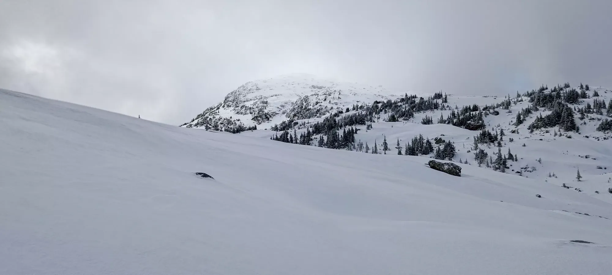
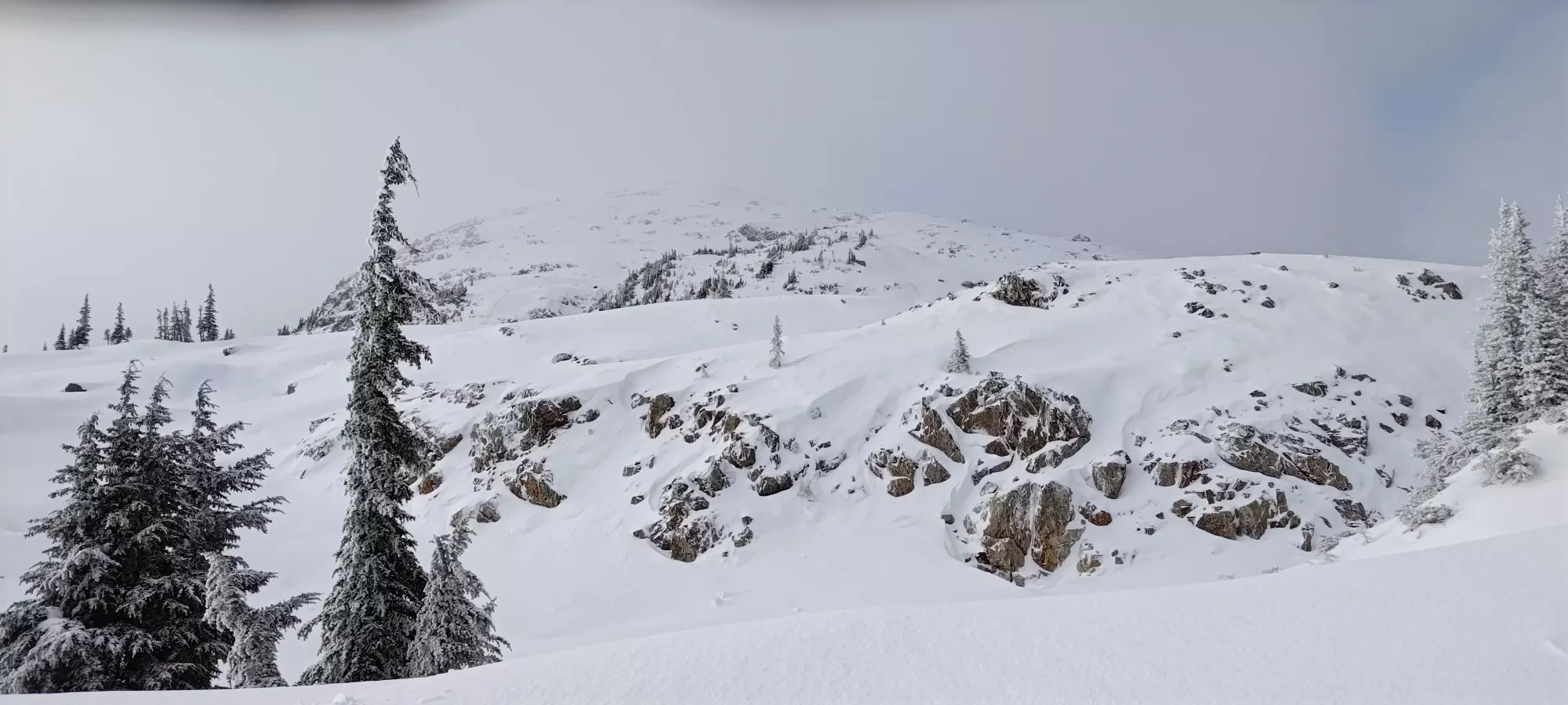
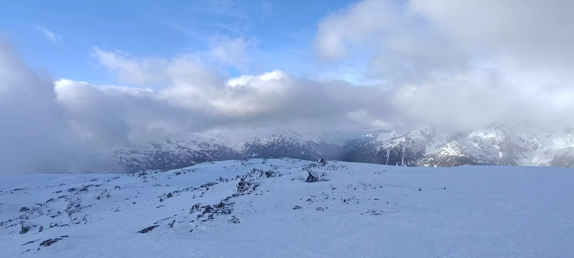
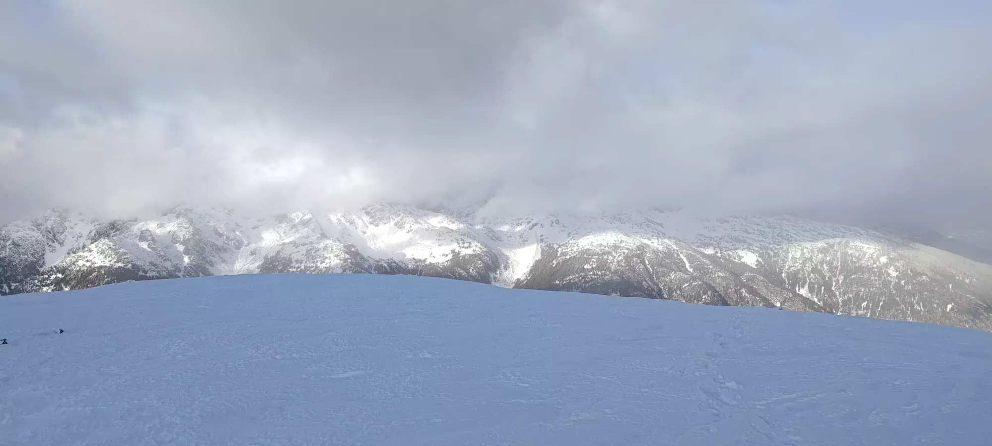
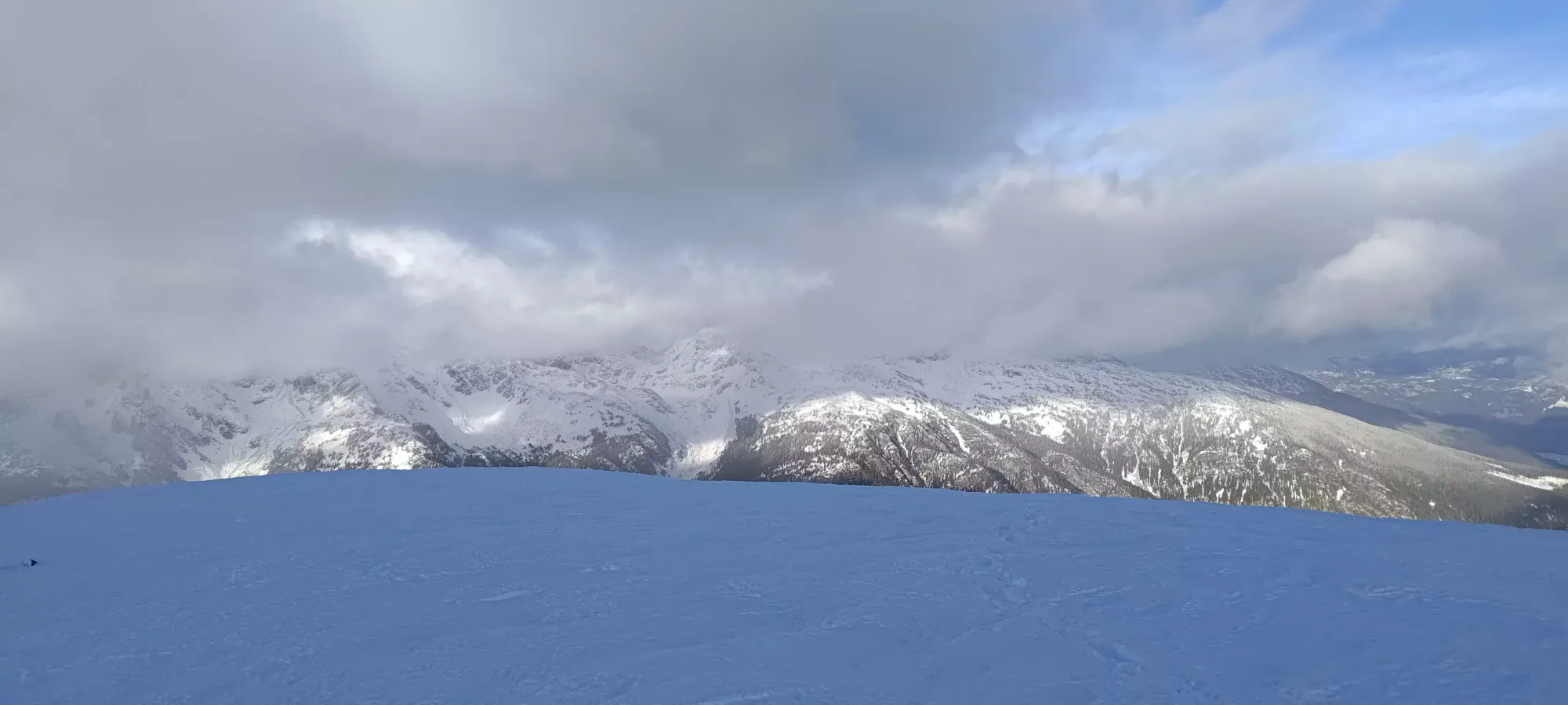
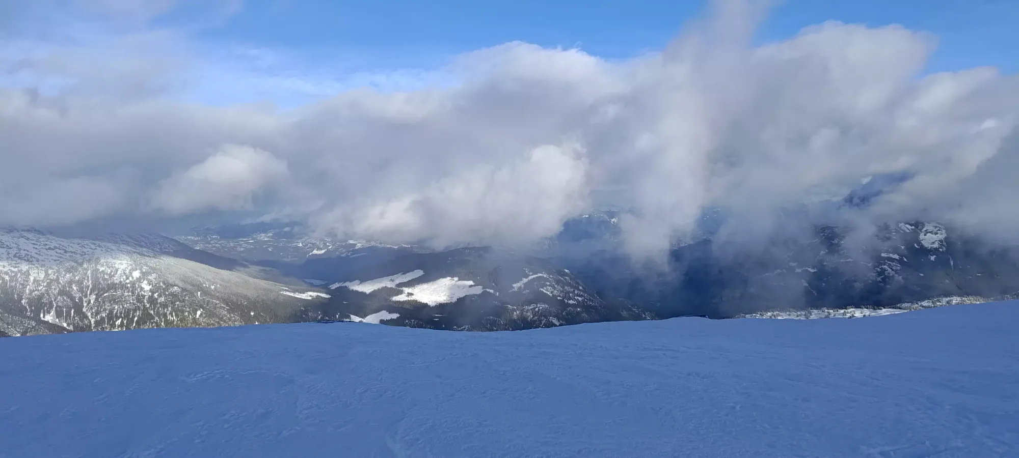
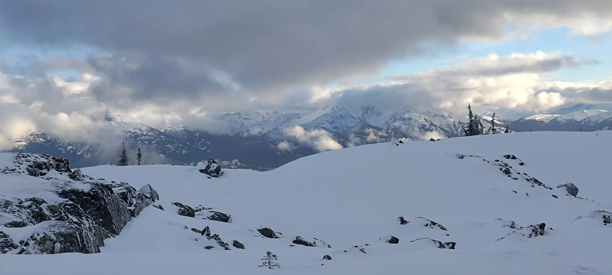
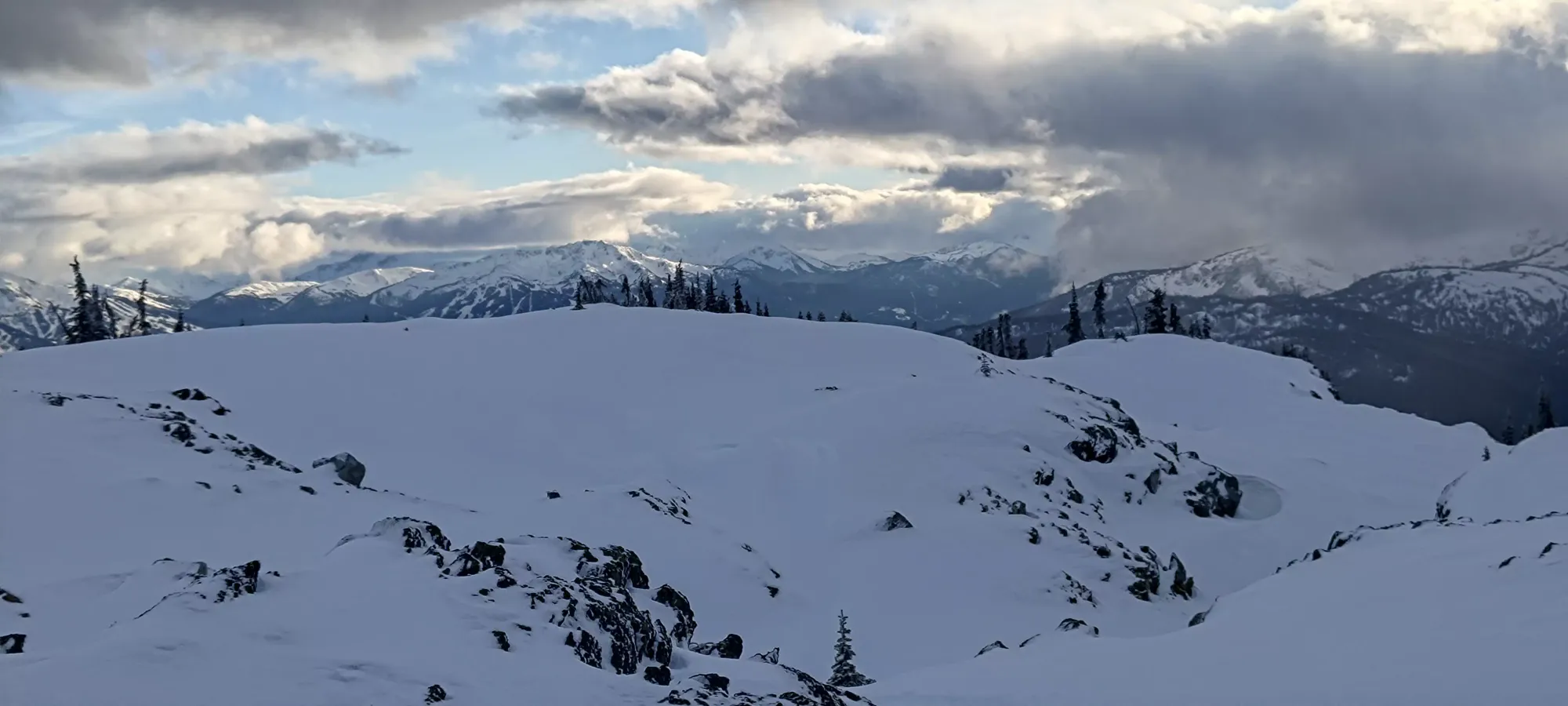
The next half hour/km was a lot more productive, with Logan and Michal both doing a short but impactful bit of trailbreaking up the steeper section from 1750m-1800m, and me taking the more gradual section up to about 1850m. This finally got the summit in view (might be earlier if you don't have clouds in the way), and returned us to the usual hill-rambling terrain, where we had lots of ups and downs connection various bumps to make our way towards the summit. As we got above 1800m, though, the snow changed from wet and crusty to "slightly less wet" and crusty, with occasional pockets of wind-deposited powder that was actually pretty dry and pleasant. Well, it would've been on skis, on snowshoes it actually just made things worse 🤣.
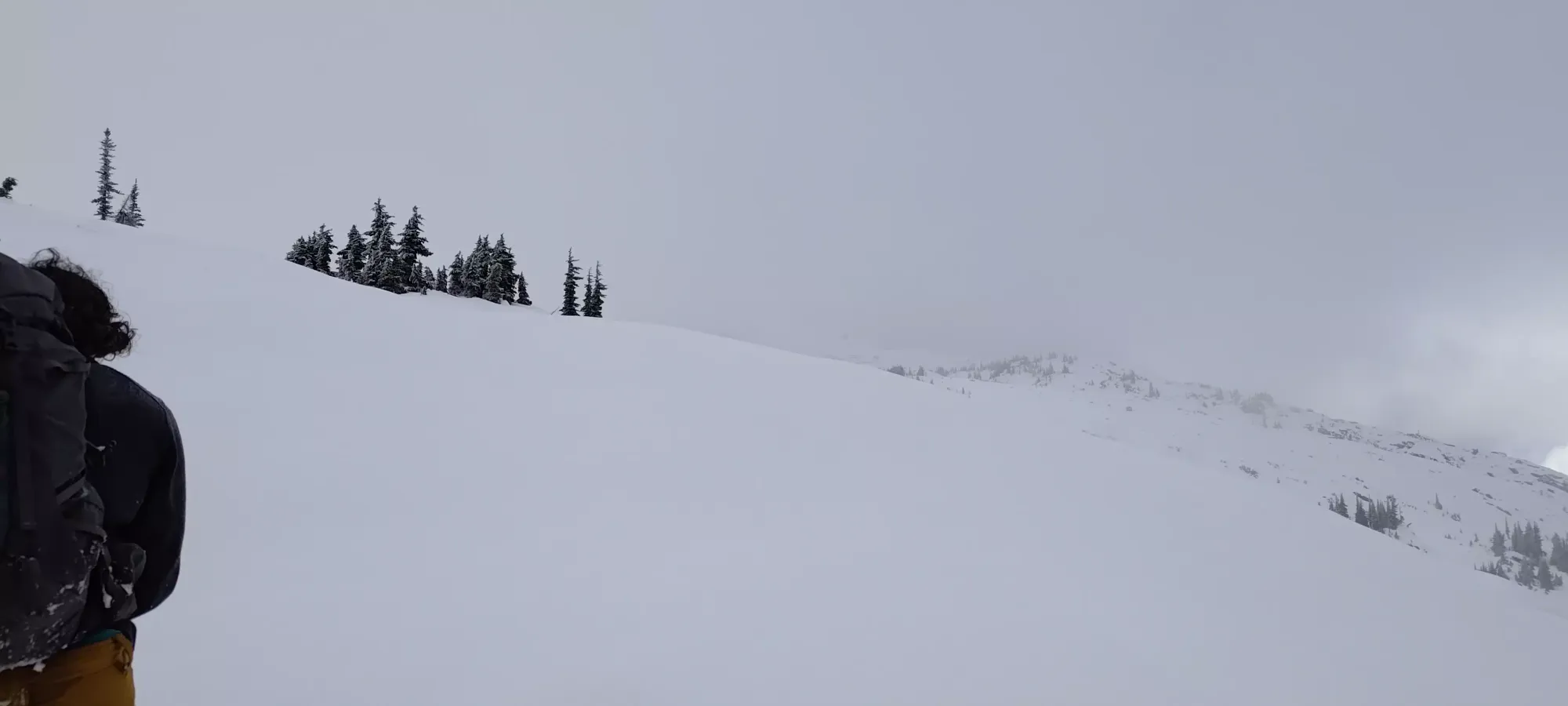

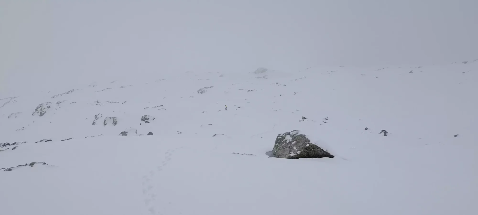
I took the lead on the next segment, which saw us going through a bunch of little valleys and up+over various bumps while aiming to get onto the flattest part of the east ridge before making our final summit push. It was kinda annoying with how many bumps there were, with each one leaving a question of "do we go down and around it, or up and over, hoping it doesn't cliff out or just drop right back down on the other side". We made the right call more often than not, but there were a few optimisations we had to note for the return. This was the now-usual half hour for a kilometre (technically 1.1), this time gaining about 60m.

After we turned over to the ridge, Logan took lead from me, but something was off, as we started moving slower rather than faster, which was the whole point of swapping off. A few minutes later, he called for a break, and needed some rest+food to recover. Michal was going fast+light, so he only waited a couple minutes before starting to break trail ahead of us, figuring we'd catch up given the effort difference once Logan was good to go again. After about 10 minutes, we started moving again, but Logan was still going pretty slow. He came up to about 1980m elevation, but he called it there, saying he was pretty pooped, and would take too long given how much time we had left (it was around 2:20pm). So, he decided to just rest a bit, then head down ahead of us to try and save some time since he was going to be moving slower going forwards.
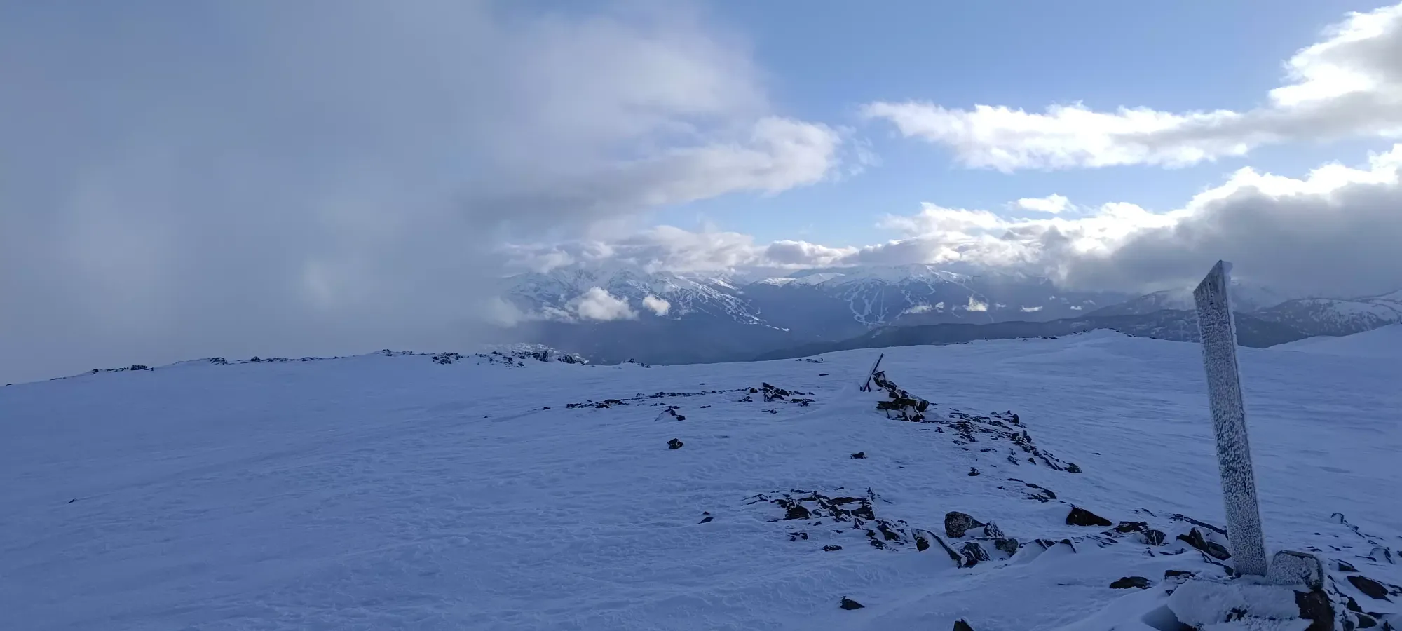
With the trail broken ahead of me and only my lack of fitness to slow me down, I gained the last 70m in about 10 minutes, and managed to get only about 10 steps behind Michal as I pulled onto the broad summit plateau. We took a few pictures and enjoyed the mostly-clear views at the top, but didn't linger long since stillness is coldness, and Logan was waiting below us.
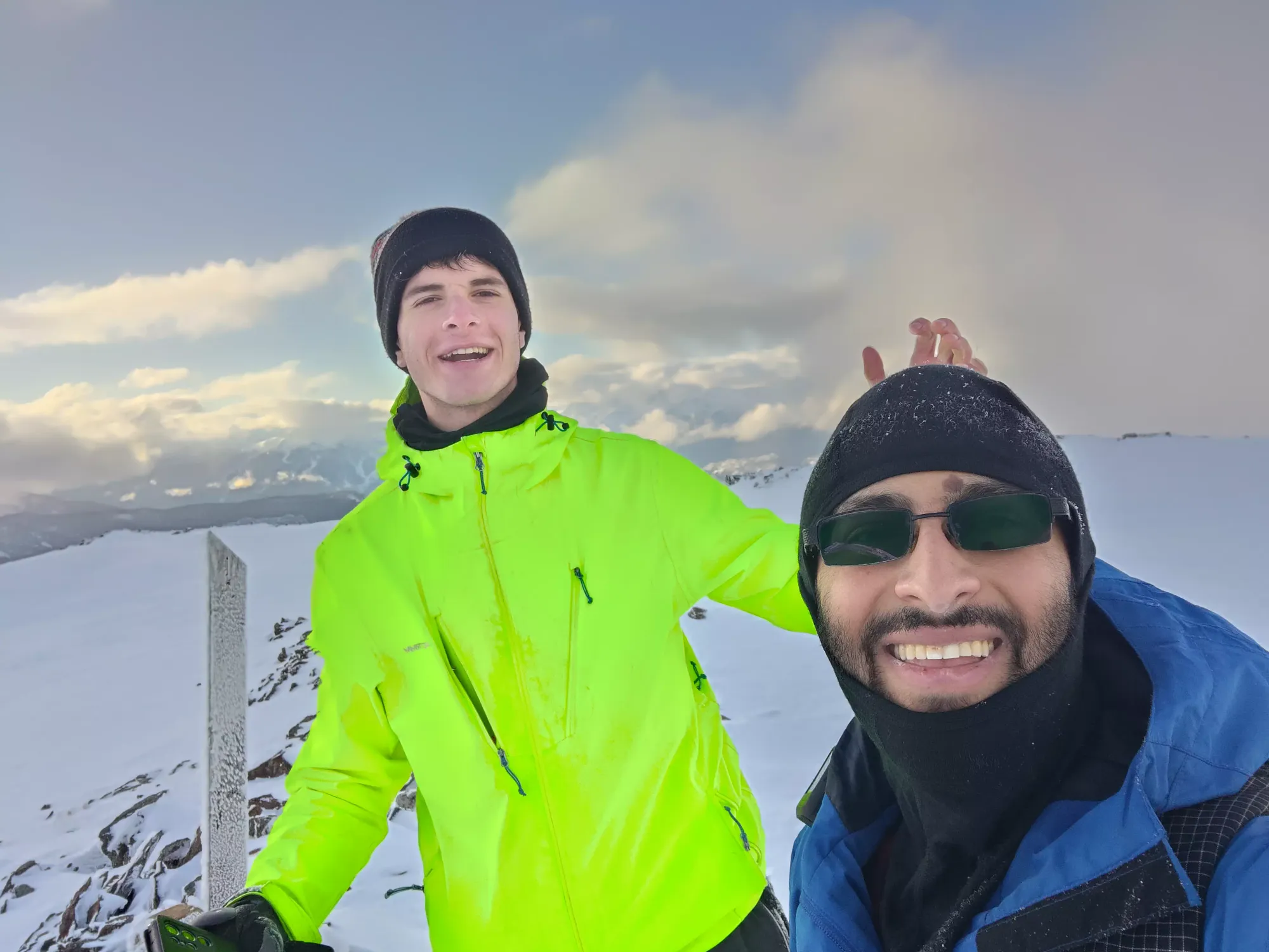
After our 5 minutes up top, Michal and I started to descend. We got down about 40-50m when we saw a surprise Logan on the way! It seems after a little more rest, he was feeling good enough to try and push for the summit after all. Michal volunteered to re-bag the summit with him, so I decided to just continue going down, just fast enough to stay warm, since the terrain (esp with the broken trail) was easy enough for them to follow, and it'd be a long time before we got to a point where we'd want to deviate from the track (and I agreed not to do so without them regardless). So, to fill the time, I gave my dad a phone call (cell service is nearly constant up here) for about 20 minutes, and just slowly picked my way down.

After the two of them summited, they caught up with me at around 1900m, and we started making our way down. We didn't go as fast as we otherwise could've since Logan still wasn't feeling perfect, but we moved at a "good enough" pace to ensure we'd only need a small amount of, if any, headlamp light. We made it back to the lakes/ponds at 1700m in about an hour, covering 2km in the process. This was slightly delayed by Logan deciding to not follow me+Michal back along the track at one point, and yeeting a good while down the north side of the ridge, though after some wandering we eventually found him and confirmed he could reconnect, so it was mostly just a fun thing to continually rib him about for the rest of the night 😃.
From that point, things started slowing down a bit more, and it took 50 minutes to get from there to the high point above the 1600m lake where my Wednesday tracks ended, and the trail became more or less straight downhill. Logan needed a couple longer breaks and even took a Gravol in-between, so we got kinda worried for a bit, but after we got into the forest, the pace naturally slowed, and he seemed to benefit from the extra recovery time.

We strapped headlamps on fairly soon after dipping into the forest, and decided to follow my original uphill track from Wednesday down, since the creek crossing we had to deal with on the way up wasn't the most fun, and that route also had more sidehilling than I recalled from Wednesday. It got hard to follow at times being so old, but it worked out fairly well, and we got to the hut in 45 minutes. We rested for a bit here, which worked well for the party as Logan needed the breather, and Michal enjoyed the significant residual heat from the previous users' fire, as he wasn't enjoying the coolness that came with his fast+light approach turning into "just light".
After breaking for just under 10 minutes, it was a long and boring plod down to the car, which took a bit over half an hour. After that, the drive down was pretty boring (the ice had melted out below us, so no issues there), we stopped in Whistler for some dinner, and then parted ways in the evening.
Overall, I'd say this was quite a good trip, and I'm glad we did it when we did. The wintry views were good, skiing it would work, but would also be annoying with all the undulation, and the road access (before December 1st) is great, so quite an excellent shoulder season objective! 10/10 would recommend. Even if it means having to bust out the dreaded suffer slippers.
GPX Track + Map
