Murdo Peak (Weatherhead Mountain) - November 8 2023
A small, trash summit north of Davis Lake, quickly bagged before work


Chehalis, Mission, British Columbia
995m
With only one peak bagged on the weekend, and my on-call rotation starting at 9am, I wanted to get something else done before I was to be relegated to staying within cell service, a rather difficult task for peakbaggers. Conveniently, the weekend totally messed my sleep schedule up, and I fell asleep quite early on Tuesday, meaning I could get up and tag something Wednesday before work started. I originally planned to get something more local, but some bathroom issues meant I had a preference for driving longer (with the option to stop en-route) and tagging something smaller instead, so out to Mission I went for this unimportant bump I failed to get when I did Mount Saint Benedict in the winter.
I ended up not needing to stop after all (oh well), and got to the base of the Lost Creek FSR at 6:15am, still in the dark. The drive to the Murdo Creek FSR branch is brief, and in excellent shape. As for Murdo Creek, it is in decent shape, a couple loose rocks to avoid driving over, and overall just harder on your tires, but nothing a driver paying attention can't handle even in a low-clearance vehicle. There is a gate at the bottom, but it was open for me. This lasted until 770m of elevation, where I took the fork for Murdo Peak. This section of road goes up to about 915m of elevation, so it saves a decent amount of effort, but unlike the previous parts of the drive, was actually somewhat intensive. The base road surface is actually fine, but were a few large puddles I had to get out to check the depth of, and quite a few large cross-ditches, one or two of which I think I even touched with my front skid plate. 2WD is probably still fine, as traction is good, but high clearance and good angles are things you'll want to get up this part. It was more fun than I expected, at least, even if I had to get out a few times in the rain to get a look at the obstacles in the foggy vis.
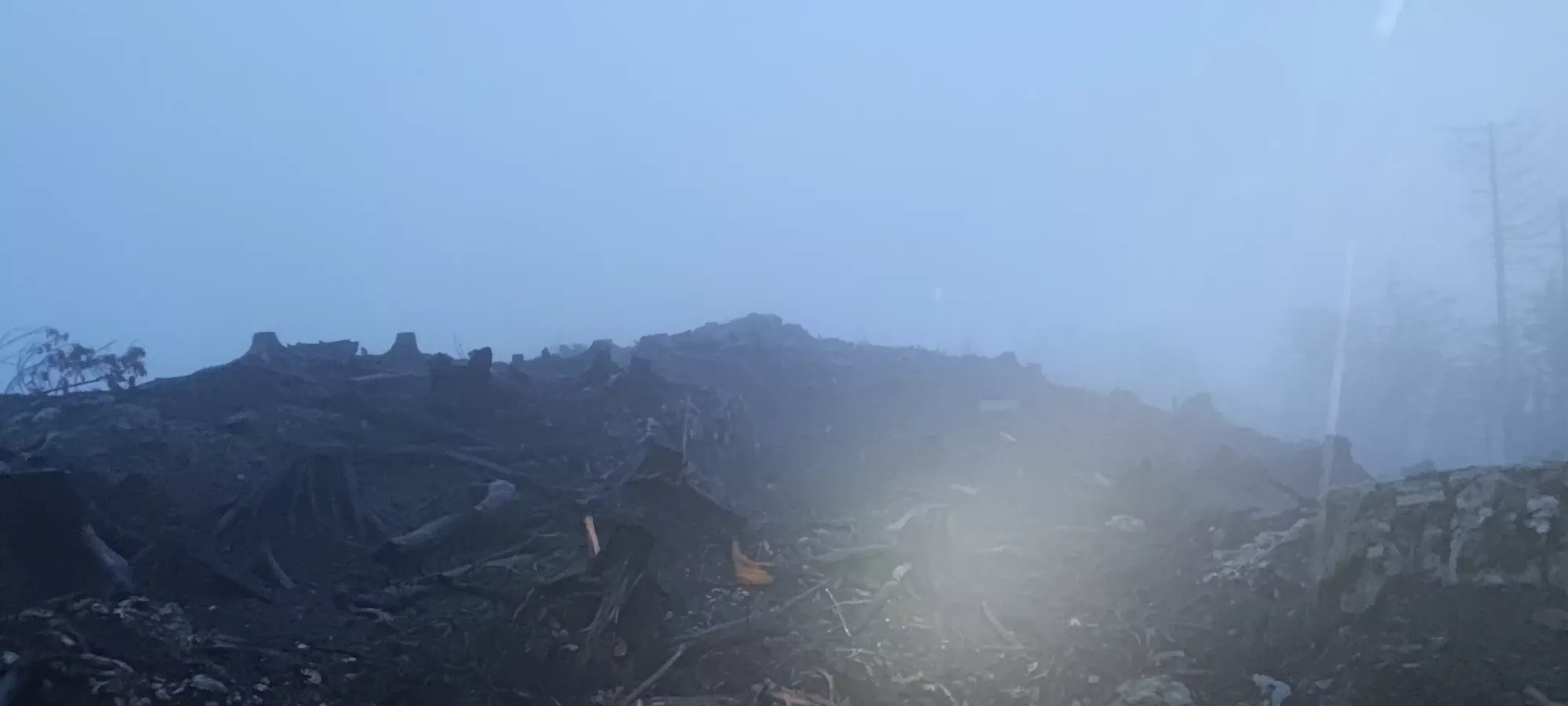
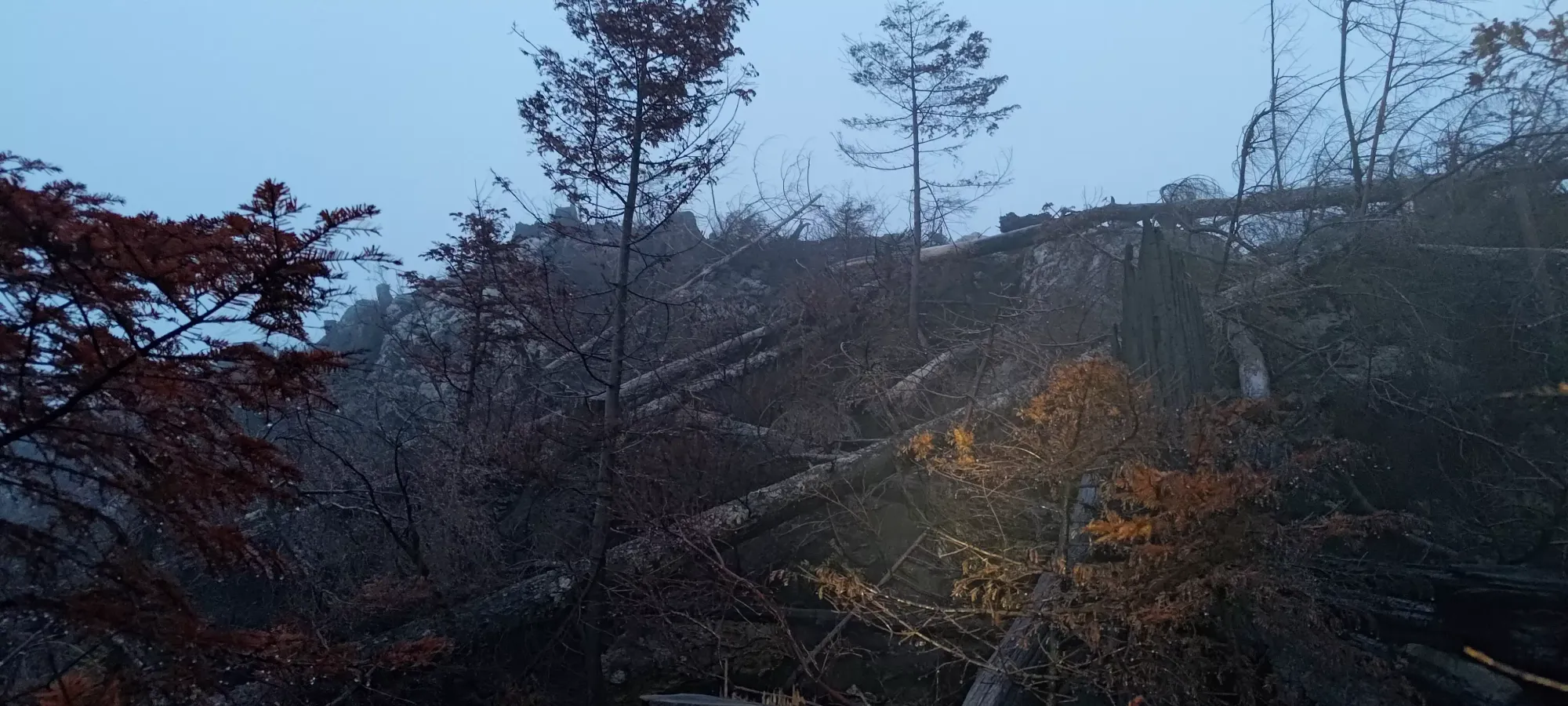
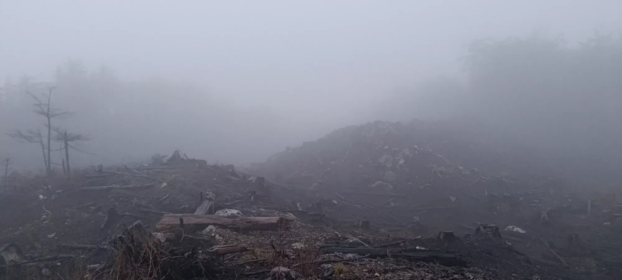
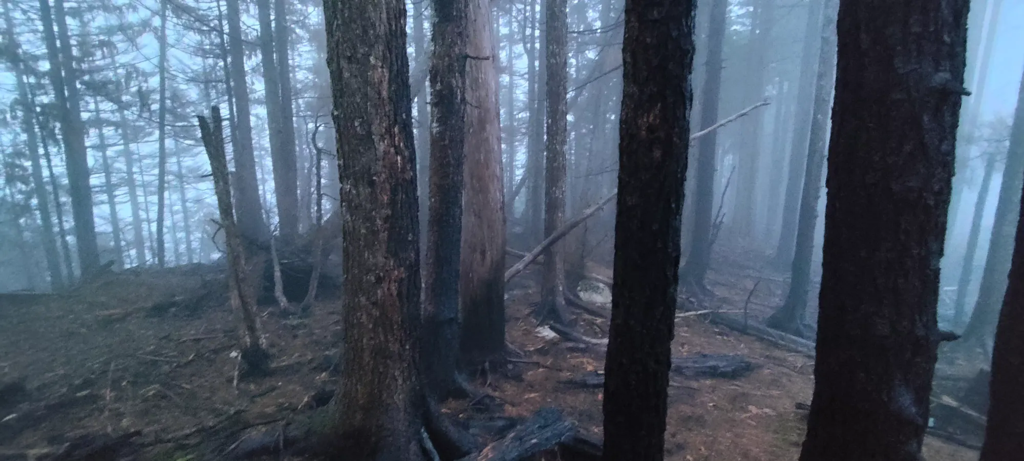
Once I parked, I saw a nasty-looking cutblock with tons of fallen trees, stumps, soft-looking dirt, running water (it was raining actively), and generally "un-fun terrain". Oh well, it wasn't going to be a long hike since the road went that far, so I laced the shoes up, and got ready. As I was about to set off, I noticed some unfortunate trash left by a recreational shooter, so I made a note to clean that up before I left. Wish people would do better, this is how gates get closed!


For the first bit of the ascent, I tried to follow what looked like it could've been a road maybe 50 years ago, as it seemed like it could've been graded at one point, though it was just as strewn with debris as everywhere else. Actually, possibly even more. Honestly, I'd follow my downtrack more than my uptrack if you were gonna come here without a snowpack. The weak trees (possibly a result of the Davis Lake Wildfire from the summer) and soft dirt made for the biggest obstacles, but I managed without having to fully trash through anything. Once up on the north end of the summit ridge, I had a couple steep steps to gain the ridge, then started making my way south towards the summit.

At first I thought the above outcropping might've been the top, but upon some map consultation, I realised it was still a good ways south, so I continued on. Fog can be annoying that way. The deadfall/debris wasn't as bad up here, and I could mostly walk on dirt, if fairly soft still, and requiring somewhat circuitous routing choices. I dropped down a small valley (maybe lost 10 metres), then started climbing back up towards the "true summit" area. I cut up a bit too early, and got into some thrashier terrain than necessary, but it wasn't a huge deal, and soon enough I was greeted with more hills of ambiguous height to tag in order to ensure I got the correct "summit". I also got to turn the headlamp off around this time.
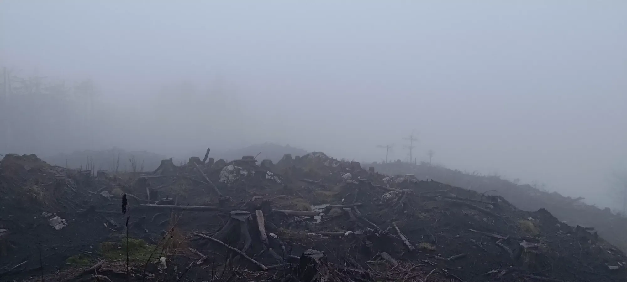
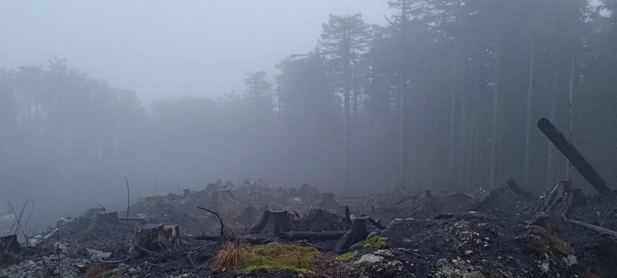
I decided to tackle the hill to climber's left first, as it was more treed, and seemed higher at a distance. It was marked off for "no work" by the loggers, so I hoped the ground would be nicer, and once I got into that area, it was! After a few minutes of wandering through, I found the high point, and tagged it before heading back to the open terrain to get my alternative summit candidate, just to be safe.


The second summit candidate was probably the right one, as once I got there, it seemed higher, and lined up with summit indicators on my maps a bit better. Otherwise it was just another bit of open, logged terrain, nothing really special about it. This peak isn't really all that interesting, I don't really recommend it to anyone who isn't an ardent peakbagger. Maybe offroaders who'd enjoy the drive up?


Getting back most of the way to the car was pretty easy, with more vis I could pick a more efficient route, and in 5 minutes I could already see the road and my car! Once I got back to the car, I spent a while prowling around to pick up all the spent casings, ammo boxes, etc. that were strewn about, then headed down. Sadly, that cleanup took enough time that I didn't have time to get anything else in the area before I had to be back in steady cell-signal for my on-call rotation to start, but oh well, at least I got something done, and it has 200m of prominence despite the ease of the hike, so I'll take it.
The drive back wasn't as much fun, as I was essentially just stuck in commuter traffic the whole way, but I at least got an excuse to grab an early lunch with my dad, so that made it a bit more justifiable of a trip. Then all I had to do was actually do my job for the rest of the evening 😅. I was back on my laptop before 10am, though, so not bad, especially considering how long the drive was. Maybe I should keep up with the early morning thing, if I can get my digestive schedule to make sense with it. Would help for alpine starts come skimo season.
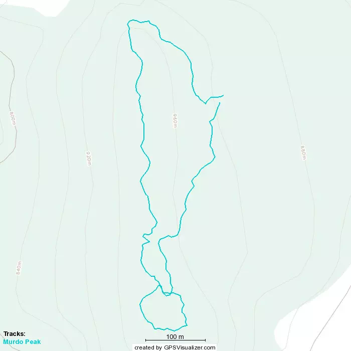
GPX Track + Map