Mount Tod - January 28 2024
One of the easier ultras out there, a mellow hike/skin up from Sun Peaks Ski Resort


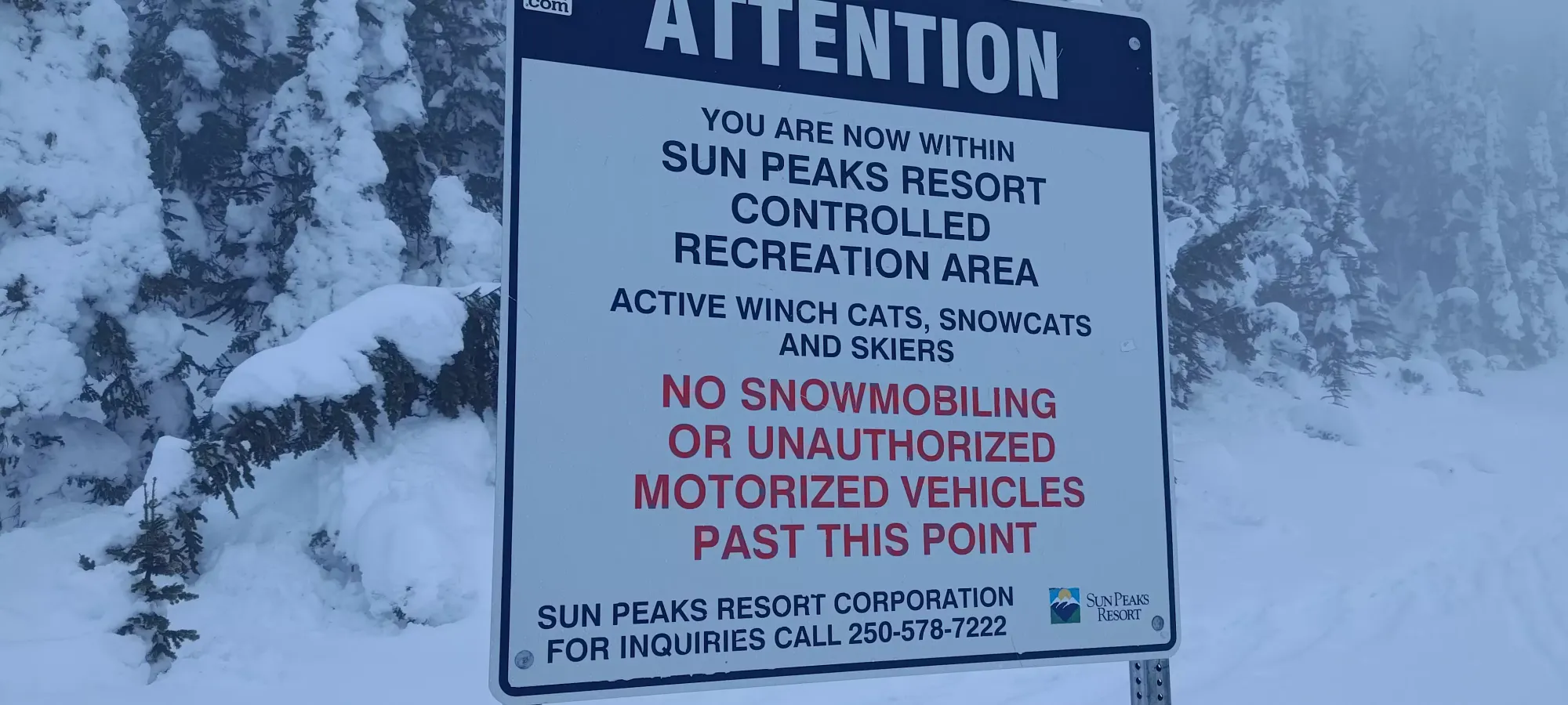
Thompson Plateau, Sun Peaks, BC
2155m
After waking up at Big White and faffing about in the morning, hanging out with my friends (whose Airbnb I was crashing at for the last 2 nights) instead of getting a move-on, I eventually got a move-on with my plan to get Mount Tod on my way back from Big White on this Sunday. This was part of a larger plan to try and find "not terrible" snow conditions on a very rainy and warm weekend on the coast, and the general idea was "get to Big White Friday night, ski Saturday and get the peak there, then get to Sun Peaks and get Mount Tod Sunday, and head home in time for work on Monday". It meant that I had a long day of driving for the Sunday, but that's something I'm pretty accustomed to, and it meant I could get the cheapest type of lift ticket for Sun Peaks, one that starts at 1:45pm, so it made the most sense for me, since the resort skiing Sunday wasn't gonna be great anyways.
I specifically wanted to get Mount Tod since it was "kinda" on the way home, should've avoided the worst of the rainstorm pelting the coast, and most notably, it's an ultra! That made it worth the detour up north through Kamloops instead of just going back on 97C, so I snagged myself the aforementioned afternoon lift ticket, and set out at 10:20am; only the most alpine of starts here 🤣.
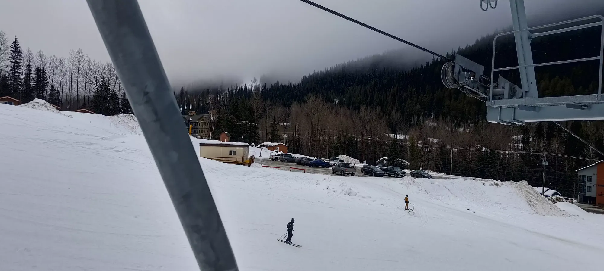
The drive out was pretty uneventful, I stopped for a quick snack in Kelowna to ensure I had enough calories to fuel me for the afternoon, and I got to the parking below the Burfield Chair just before my lift ticket's start time. Sadly, while I successfully identified a single chair that would get me to the top, I did not account for the fact that it had no place to actually print out my lift ticket, so I had to drive to the main base area, get my ticket, and walk back, then gear up, and finally get onto the chair. That whole process wasted a lot of time, and I only got on the chair at about 2:15pm. That was annoying.
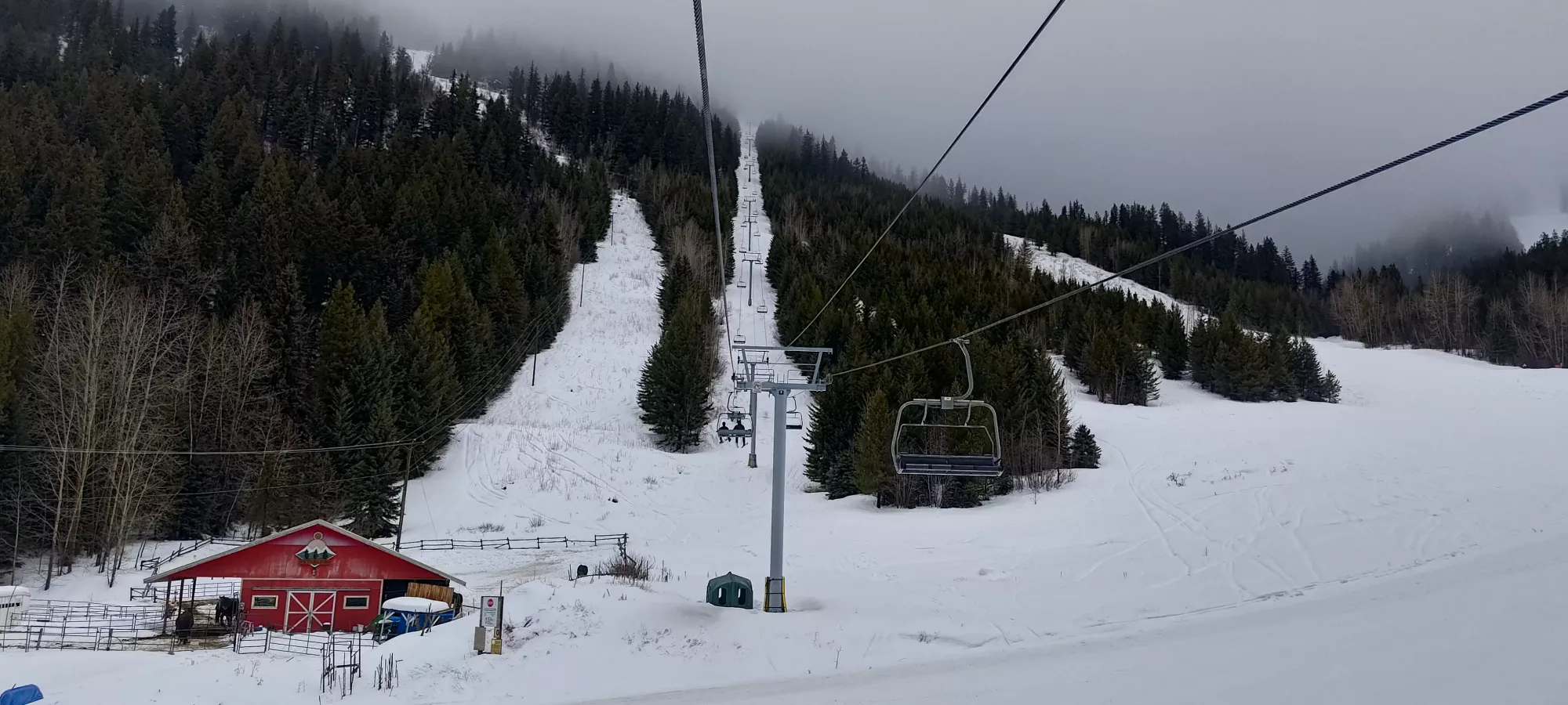
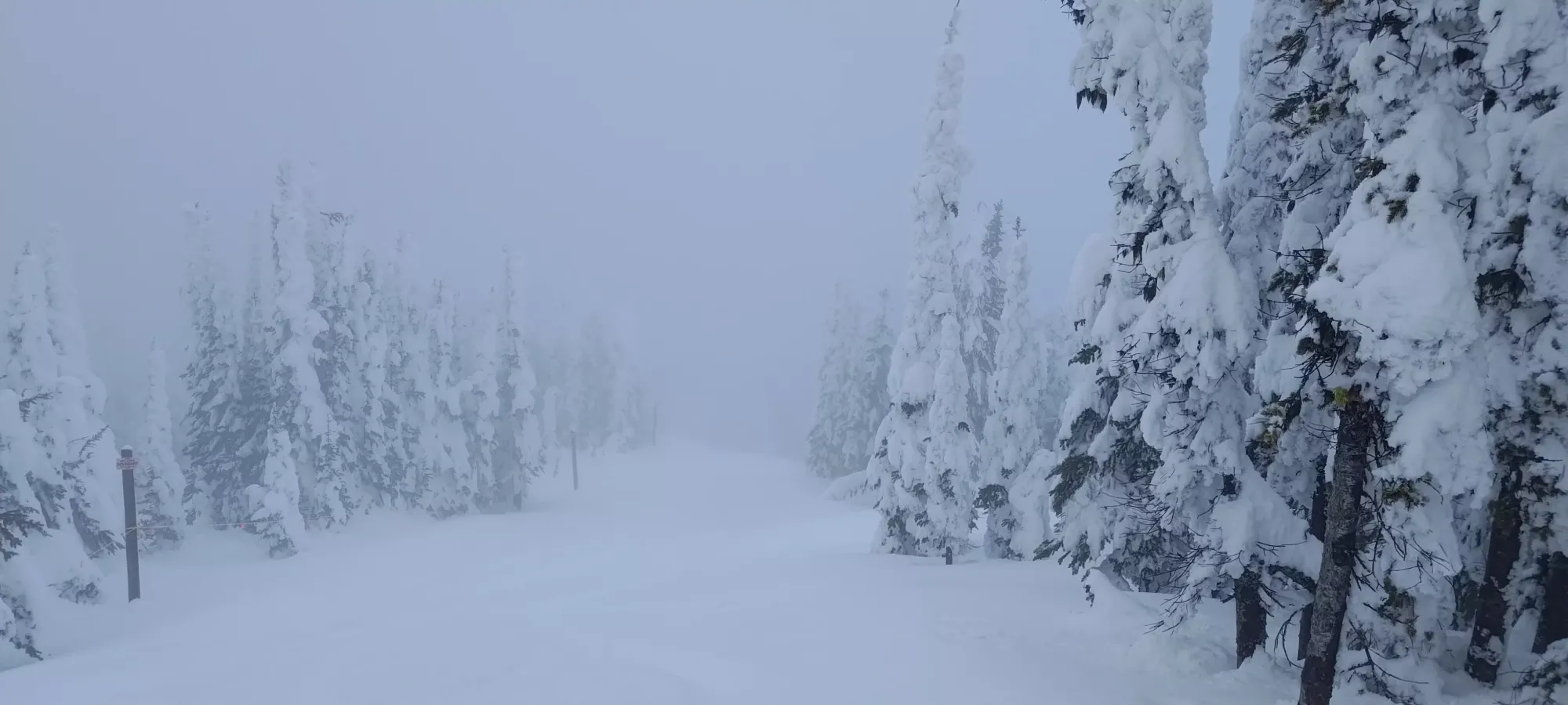
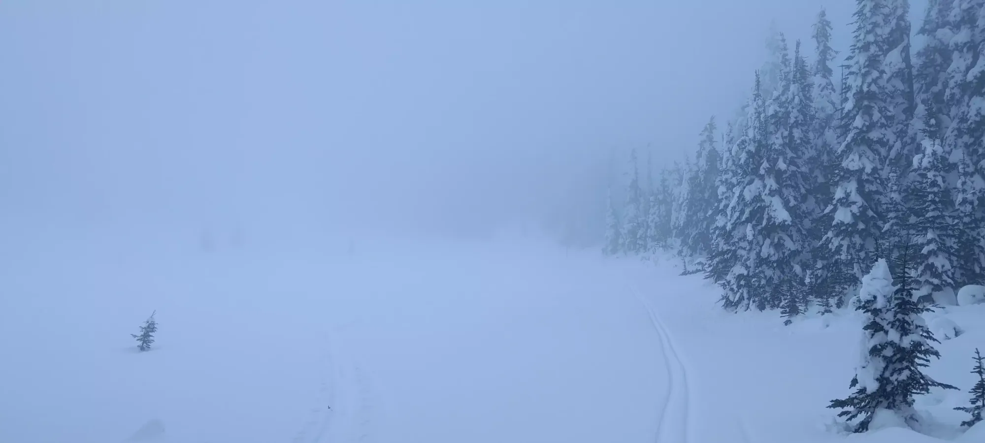
The chair itself was pretty long/slow, and took probably 20 minutes to get up to the top of the resort (for now, apparently they're planning the West Bowl Express for next season which goes a bit higher). Thankfully it wasn't super cold or windy, so it wasn't unpleasant, just a bit annoying since my time was quickly dwindling. By about 15 minutes, in, the visibility had basically entirely disappeared, which would remain the theme for the rest of the day.

At the top, there was a convenient warming hut where I could put my skins on away from the elements (a rare luxury), and after a quick transition there, I got moving at quarter to 3 (this was definitely a "squeezed-in" trip, to say the least 😅). There was a short descent down to the col where the Gil's Hike uphill route starts, where I met a guide and some clients of his who were doing skill practice, which is probably a much better use of a day like this one, but I had a mission and a narrow window of opportunity, so I was using it!
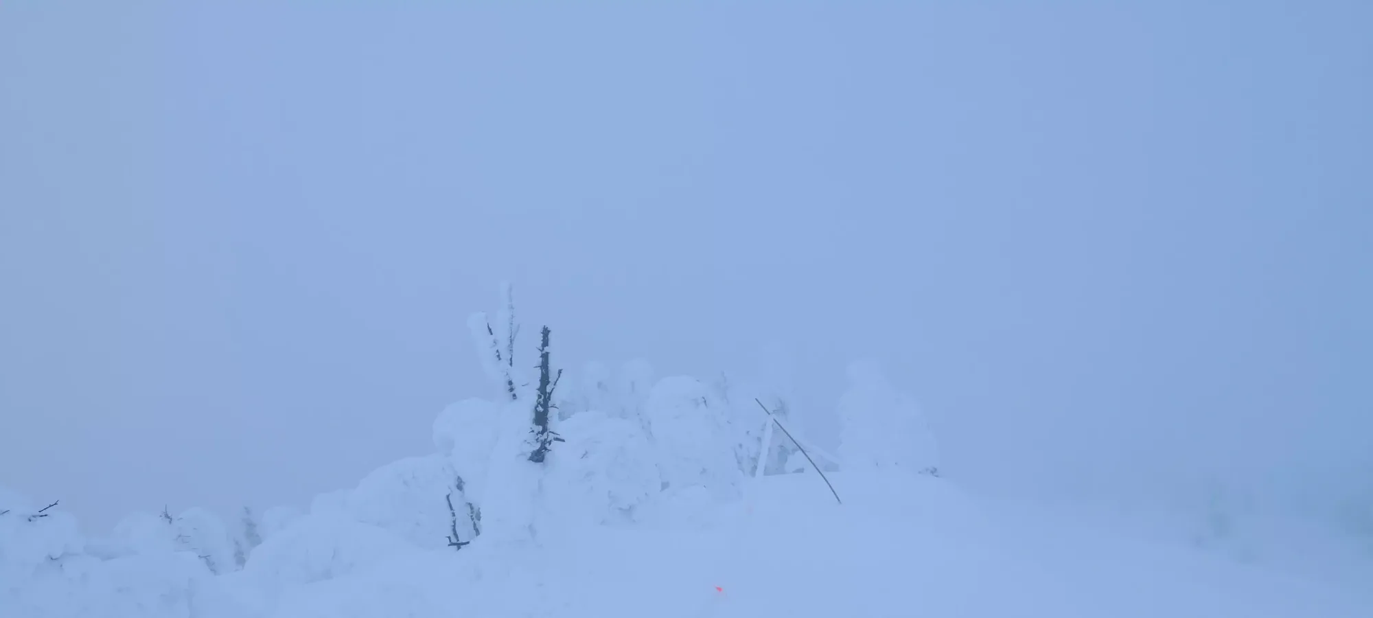
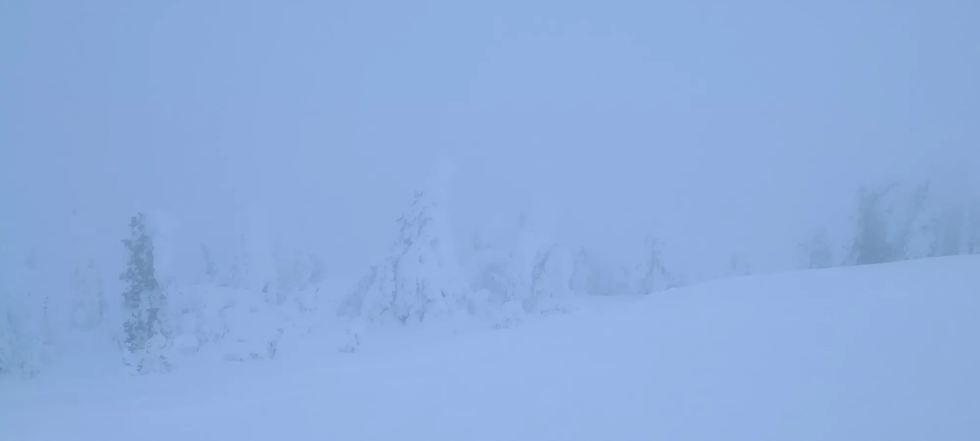
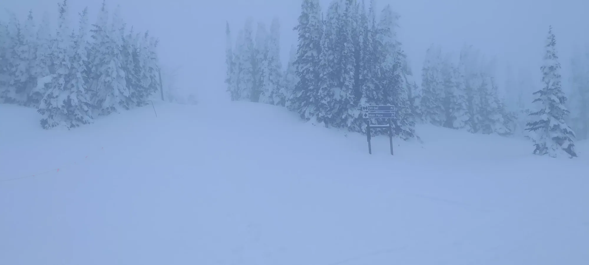
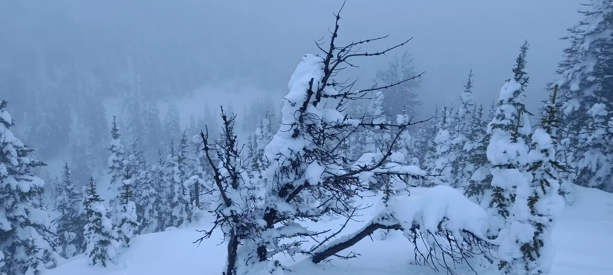
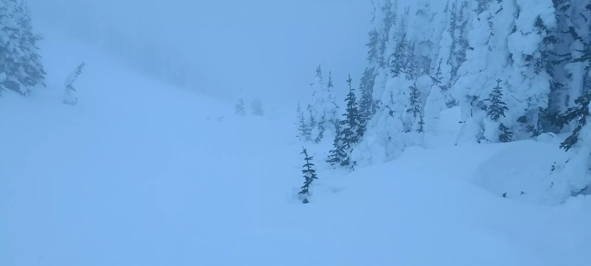
I actually started a bit to the east on Gil's Traverse instead by accident, but that was easily corrected, and soon I was following some tracks (I couldn't actually see them ahead of myself in the fog, but I could feel if I was in them or not) up towards the south summit of Mount Tod, which itself does cross the 100m of prominence threshold most peakbaggers use to say "it's a real peak". This lasted for a few minutes, and gained up to about 2080m before opening up and dropping down to 2060m, where the trail forks into a few options. Some people forked over to the West Bowl from this point, some took the main skin track towards the blacks/double blacks at the edge of the ski resort's terrain, and then there was my route, the much less popular route up to the south summit of Mount Tod, which Trailforks denotes as being the start of a run called Skunk. I got up in about 15 minutes from the start of the uphill, and enjoyed my views of nothing (but at least slightly better vis than I had the day prior) for a moment before pressing on, given it was now already past 3pm, and I still had to bag the ultra and get back, not to mention drive to Squamish after that.
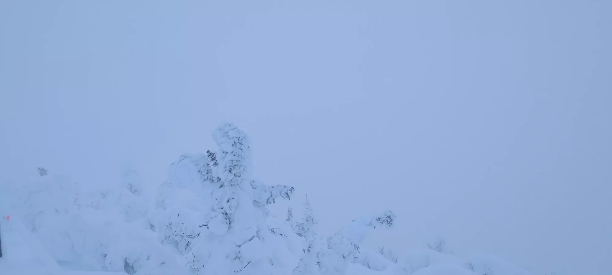
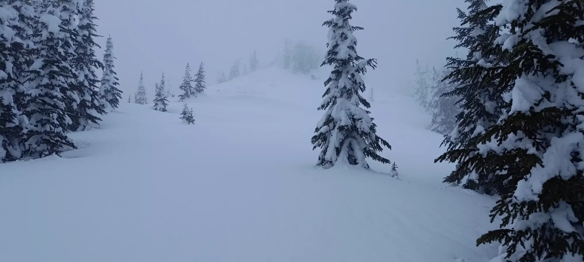
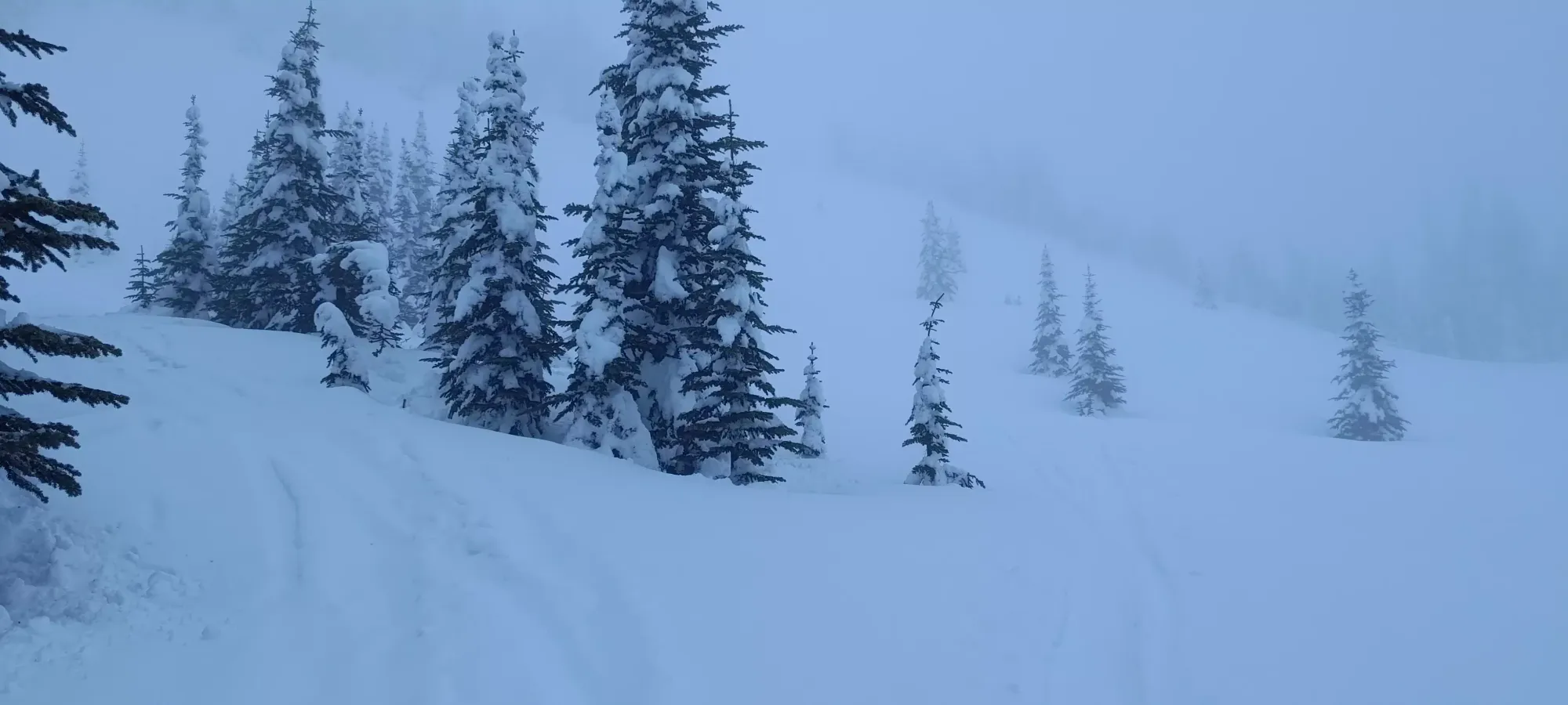
Views on the south summit of Mount Tod
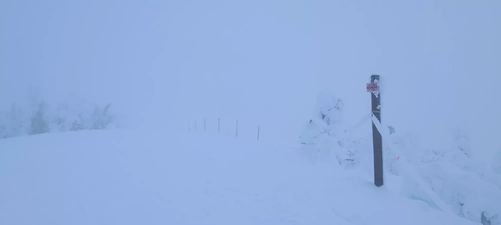
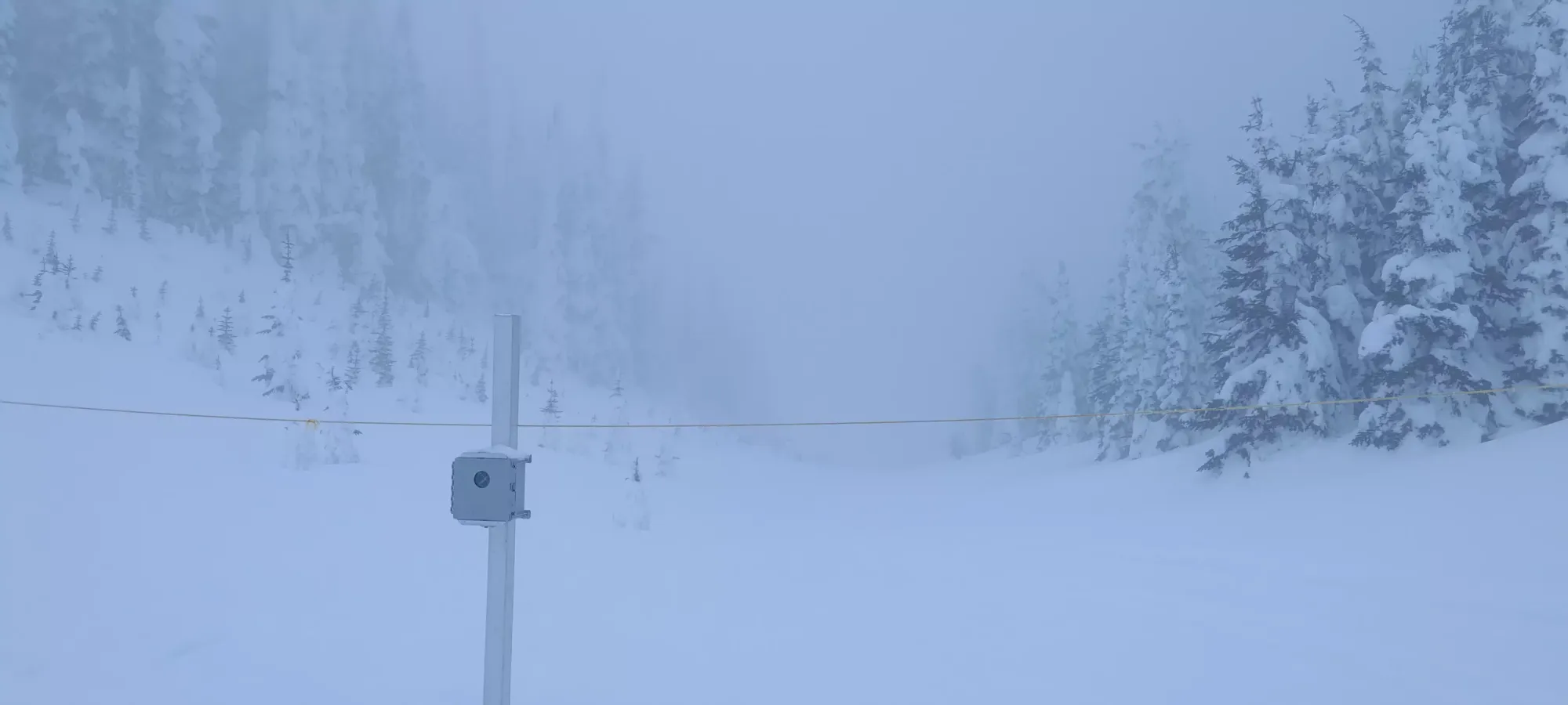
There's a bit over 100m of elevation to drop before you start climbing up towards the main peak (hence the prominence), so one could definitely justify ripping skins and skiing down. If you're fast at transitions, that might even be faster. I was feeling lazy, though, and unmotivated by the wet snow, so I just awkwardly skinned down the road going north off of the summit. I did, at least, lock my heels in, which definitely helped in the "not falling" part of things, although turning with skins on is still kinda rough. After about a few minutes of awkwardness, I got to the bottom where there's a beacon check, and a couple signs for the final runs I mentioned earlier. I'd have loved to check em out for the way down, but with no vis, no knowledge of the mountain, and dwindling light, I figured that it wouldn't be a great plan, so I'll have to wait to see what kind of steeper skiing Sun Peaks has to offer.
From this point, you have done about half the descent. The next half is past the beacon check, and is a bit flatter, but if you transitioned, could still be done without needing to put skins back on. This empties out to a wide, open area just before Tod Lake, where I saw a couple tracks, though they seemed to be at least a day old.
At the edge of this area, I decided to follow those skin tracks, hoping the locals knew something I didn't, and that led me a bit east, on the far side of the ridge south of Tod Lake. Sadly, the tracks eventually ran further east, clearly "not towards the summit", so I had to find my way back towards the lake from there.
I went up the ridge on some easy, open slopes, but then had to come back down about 10-15m to get to the road that leads right to the lake (the much easier way to get there, which I used on my way back). The way down the ridge is probably easiest going straight north, but I couldn't tell in the bad vis, so I stuck to the trees and awkwardly side-stepped down with my skins on, which was a bit slow, but functional, and in about 6 minutes, I was back on track.
Once I was down at the road, it was only a few steps to the lake, where I followed an even older skin track to the end of the lake, where the ascent resumed "for real", on the steepest terrain of the day.
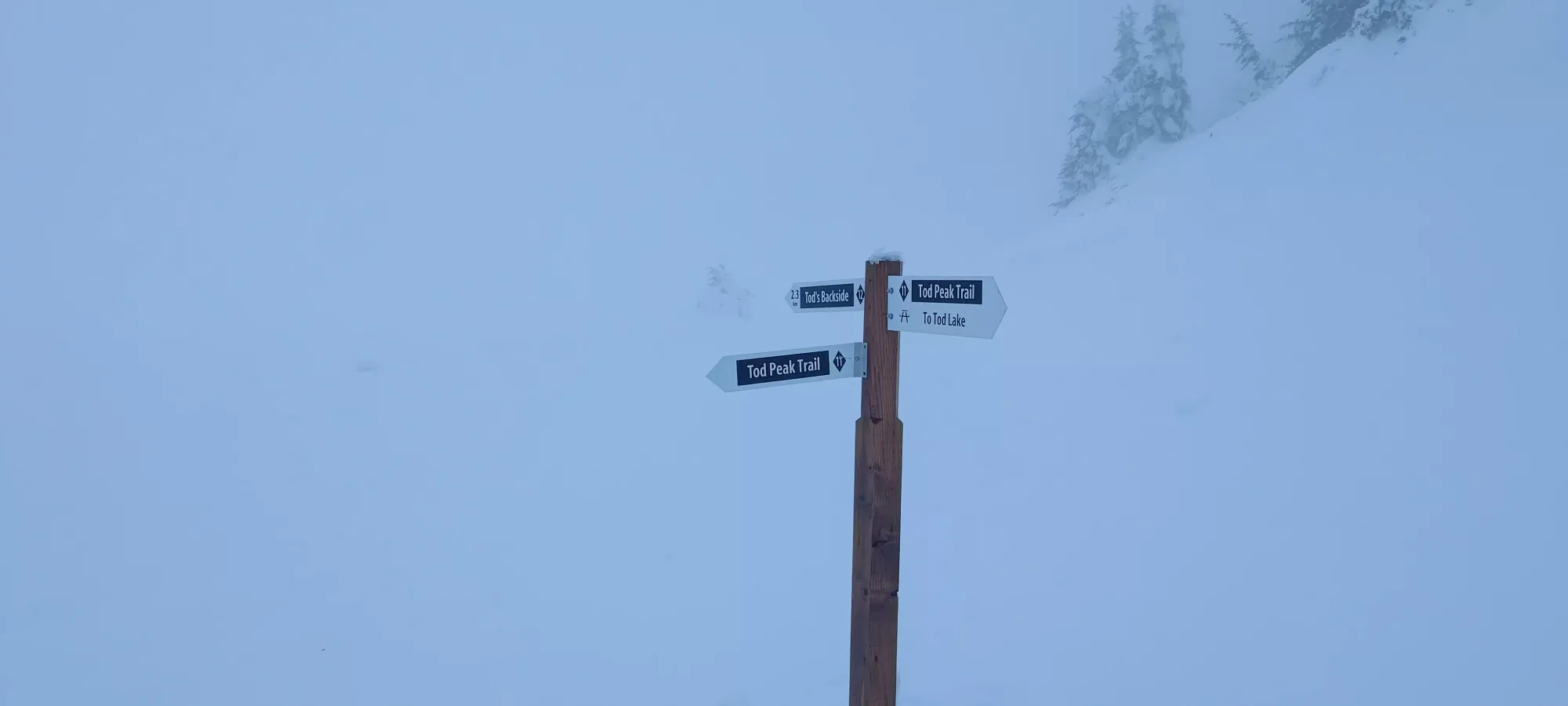
In about 10 minutes, I gained about 70m to the fork between the Tod's Backside and Tod Peak trails, where I attempted to roughly follow the latter for obvious reasons.
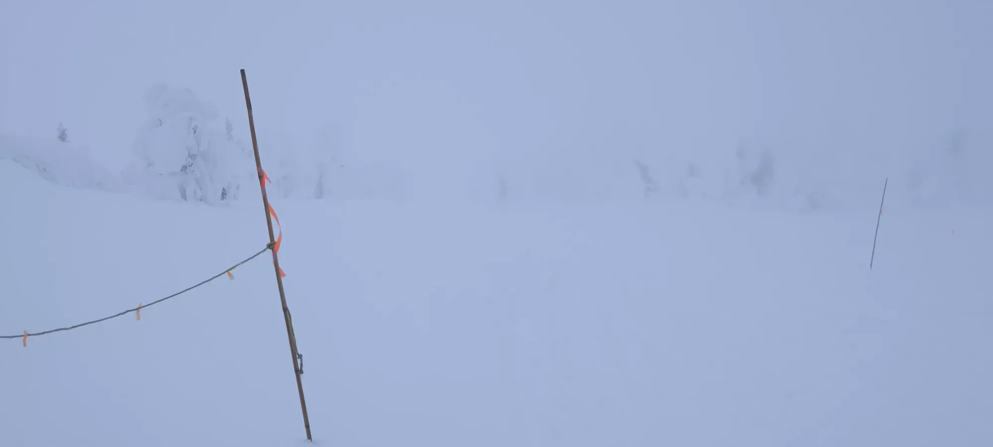
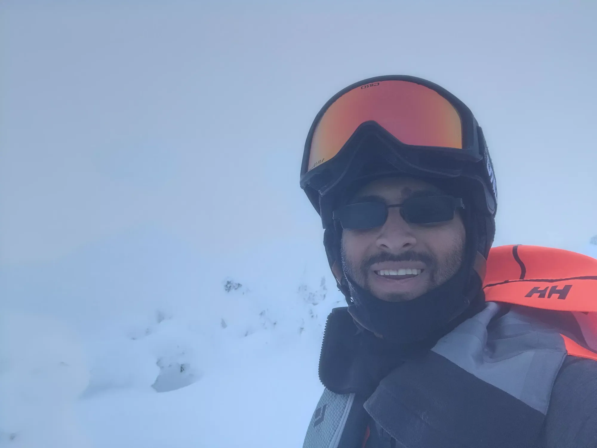
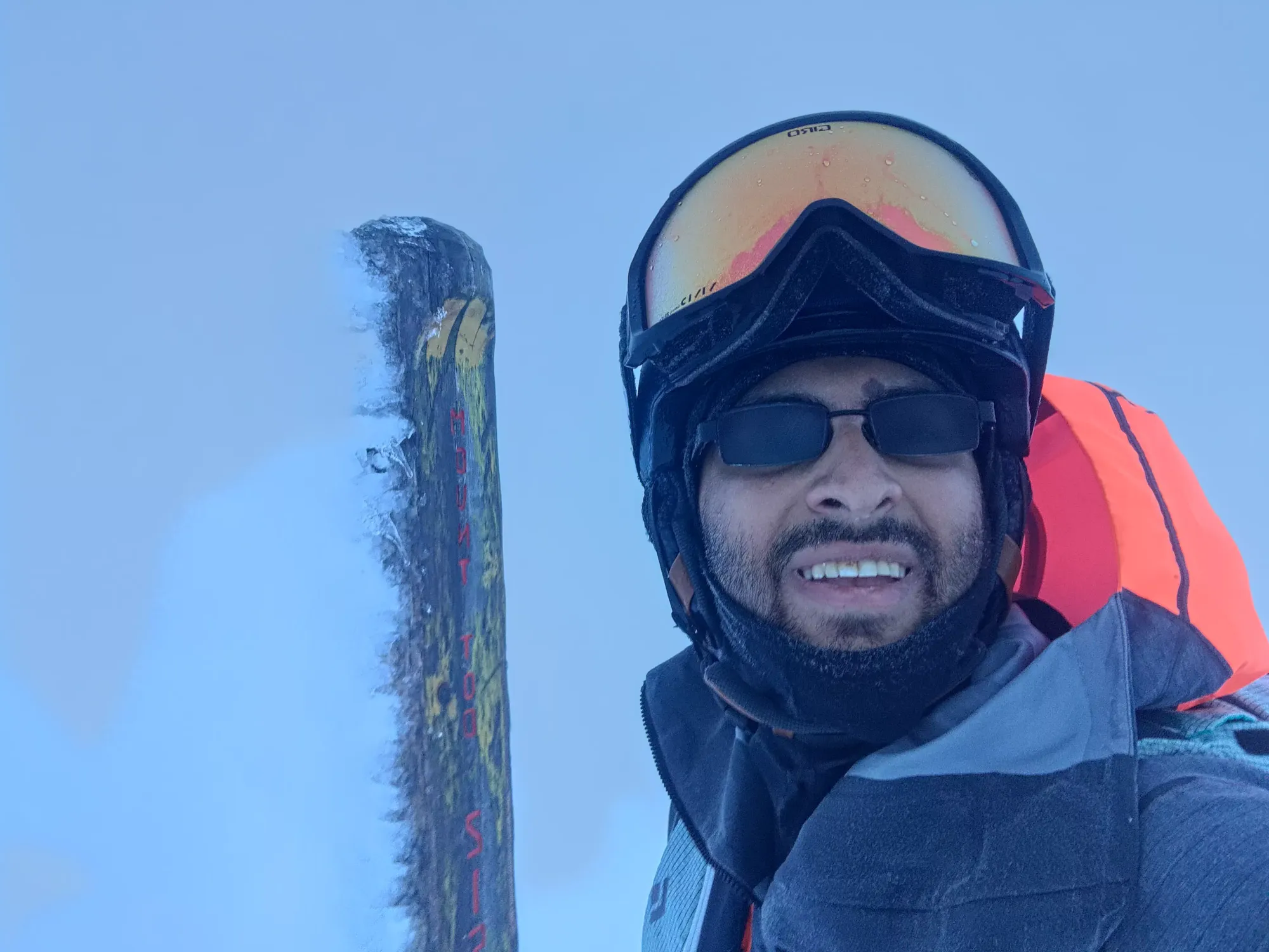
From there, it was just 20 minutes of wandering around semi-aimlessly, trying to avoid any potential cliffs, wind lips, or other terrain, and broadly "going up" the final ~100m to the summit. There was no more skin track visible, so I just wandered up at what felt like a decent slope angle for skinning, and poked ahead with my poles before stepping to ensure what was ahead was, in fact, actually both snow and uphill and not anything untoward. That made travel a bit slower than usual, but it actually wasn't too bad, and I ended up summiting just past 4pm, or about 80 minutes after departing from the warming hut. I took a couple pictures (thankfully there was a convenient summit pole to let me know I was at the top or else I'd have had no idea), then started making my way down.


I walked a few metres before transitioning, just getting off of the flat top to somewhere a bit more downhill. I figured I could at least ski down the lake, which was about 150m of descent, and a bigger distance than the previous downhill I spurned, so it felt worthwhile. Plus you have way more control in downhill mode when moving downhill, so it was safer.
That being said, I skied like an absolute baby, and the few times I tried linking a couple turns where I felt safe enough, I went off a random (though small/manageable) roll or lip like 50% of the time 😅. It was still faster than walking, though, and I got down to the lake in 10 minutes. It was so warm+wet, though, that once I got below about 2060m, the snow was super sticky, and it was a chore to make turns through it.
I tried to do the flat part across the lake without putting skins on, but I was sliding about a bit too much, so I just bit the bullet and transitioned again. This time I took the road all the way back to the inbounds area. I could've followed the Gil's Hike route back towards the runs directly instead of going back over the south summit, but it was getting darker along with the low vis and I didn't want to risk any unknown terrain, and it wasn't like this was a long or tiring tour. So, I got back up to the top of the south summit, and ripped my skins once more after half an hour of walking back from the lake.
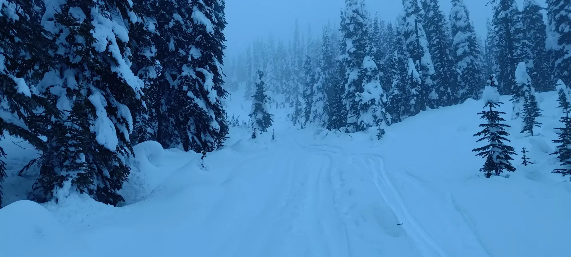
It was a short ski down from there to the "great junction" where I originally saw those signs pointing towards a black and double black run. However, I had just put my headlamp on at the summit to help with the low vis (it was dark enough that it helped, even if it wasn't necessary), so exploring hard runs I didn't know at all seemed like a poor choice, so sadly there was one more climb up about 25m to get back into the main resort area. There was a sled track here, so just bootpacked in that to save having to dig my skins out again, and I got it done in 7 minutes.
That left me partway back on Gil's Hike, but thankfully with it being all downhill from that point, I could transition before getting back onto the runs. Once I got back in the resort proper, I realised that the runs that led directly back to my chairlift (and car) required a further hike up to the top of the chairs, which I didn't feel like dealing with, so I checked my maps and figured I could take the easy green (5 Mile) back and cut over at some point.
That was, it turns out, incorrect, and the trails I thought would lead me back were actually the opposite direction, so instead of getting back to my chair, I just skied down 5 Mile the entire way down the mountain. On the plus side, it was freshly groomed, so I actually had a pretty great ski down the fresh corduroy, only limited in speed by my lack of goggles (too lazy to deal with them and a headlamp on my head at the same time, and having to dry them) and at some points, visibility. That got me down about 800m in 20 minutes, with a good few glasses-cleaning and map-checking breaks along the way.
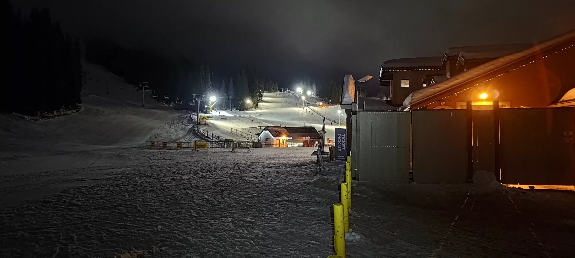
Once down, I managed to find a friendly skier who let me bum a ride back to my car to save a tedious hike at the end of the night, which was super awesome of them, and then it was "just" a ~470km drive back home to Squamish in the dark! I was lucky that the conditions were actually pretty good, so I managed to get home in a touch over 4 hours, which for Sun Peaks to Squamish is pretty damn fast.
Overall, quite a fun trip, and it's hard to complain about an ultra that you can also do on skis 🙂. I'd definitely recommend doing this on skis, you cut down the effort a ton, the views are probably good in better conditions, and there's a lot of mellow touring you can do up in the summit area, probably way less tracked-out than, say, Whistler's backcountry as well.
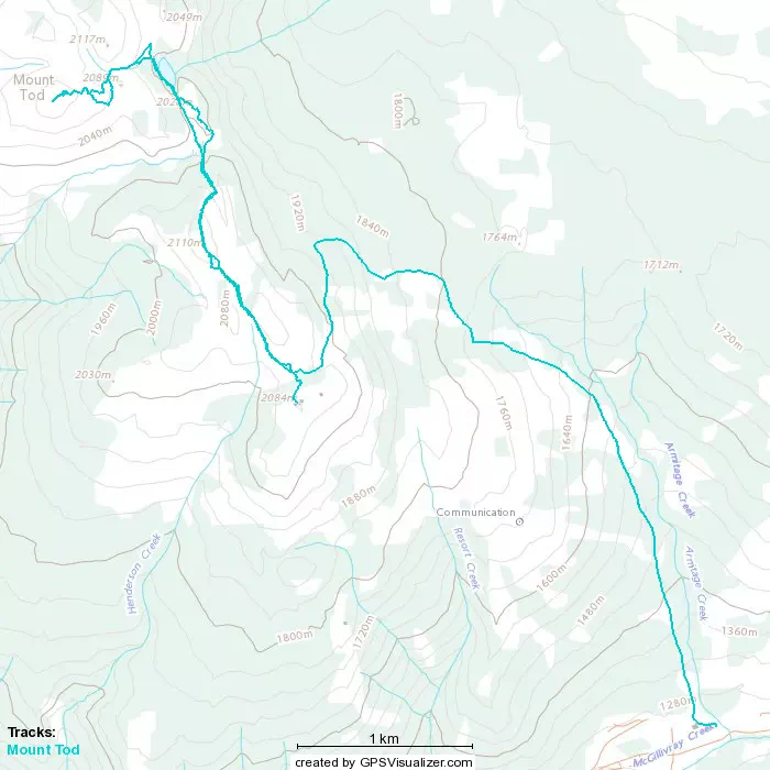
GPX Track + Map