Mount Taylor (Duffey Lake) - April 12 2025
One of the smaller/easier peaks in the Joffre Group, this peak is skinnable to the summit, and offers the gamut of easy to freeride ski lines off the top, with no skins required to get back down. A great introductory tour for the area

Joffre Group, Pemberton, BC
2318m
After a long trip to the US (see my previous trip reports for that), I was pretty tired when this weekend came along. However, avalanche conditions back home had finally settled, things were warming up, and it was seemingly the last weekend to go find good powder in the Sea to Sky. So, I told myself to get over that tiredness, and get my lazy butt to the Duffey to hunt some north-facing lines while the snow was still soft. Since I wasn't sure exactly how knackered I would be, I figured it would be best to start with an easier/smaller objective, and so felt it was finally time to tackle Mount Taylor. I convinced Nick to join with the promise of skiing from the top to basically the bottom, and Tanveer had expressed interest in this peak before, so we all assembled in Squamish on Saturday morning, and set out with powder in our hearts.
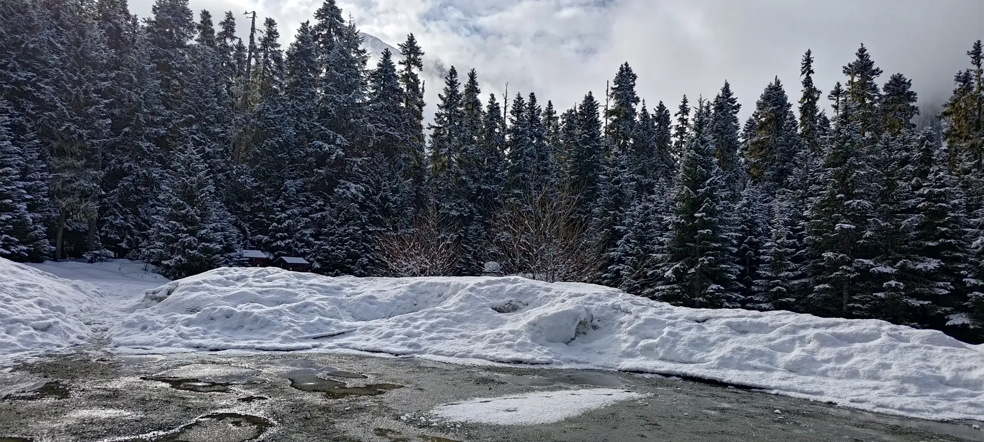
We got to the trailhead at about quarter after 9 (I needed to sleep at least a little after the aforementioned trip, so we avoided a fully alpine start), geared up, happy to see decent amounts of snow in the parking lot, and got moving at 9:25am.
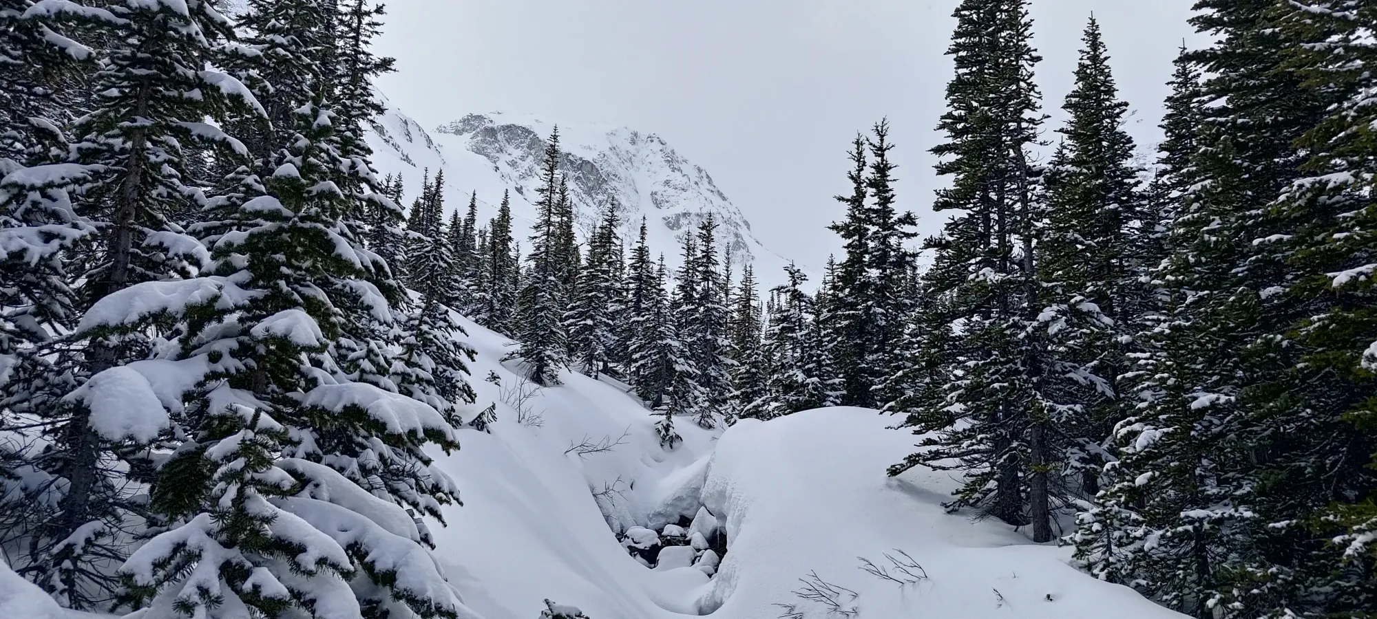
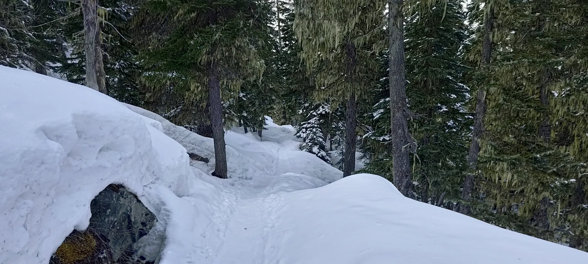
I won't go into much detail about the approach, since it is exhaustively documented on the internet. Basically "it's an easy trail, yes there is an avalanche slope on it, and yes it gets so much traffic it is often quite icy, and walking it with crampons is entirely justifiable" 😅.
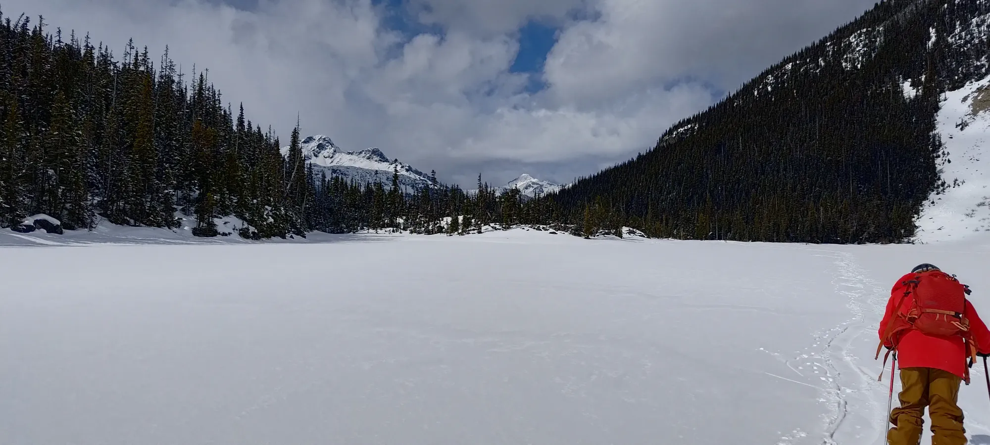
We booted it to the first lake, where we determined that it would be just barely crossable on skis (but was melting out fast, and probably wouldn't be safe even in the afternoon on the return). Tanveer didn't want to skin yet, though, so after a few steps onto the lake, he realised that this assessment only held for people on skis, and turned back, promising to meet us at the third lake 🤣
Nick and I crossed without incident on skis, and enjoyed the savings of a few hundred metres and some mild undulation. On the trail, we encountered the expected icy conditions borne from the heavy foot traffic this trail gets nearly all year, but we managed just barely without busting the ski crampons out.
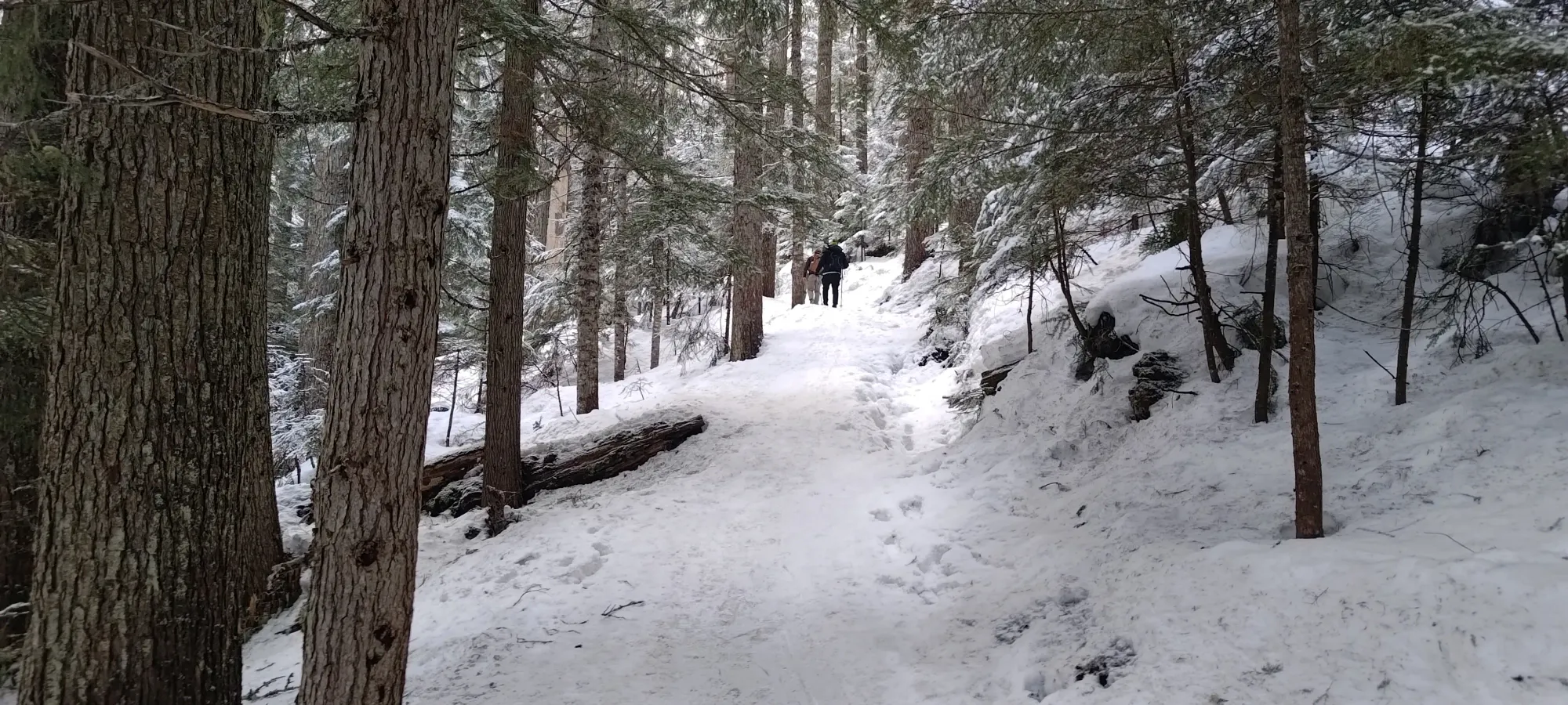
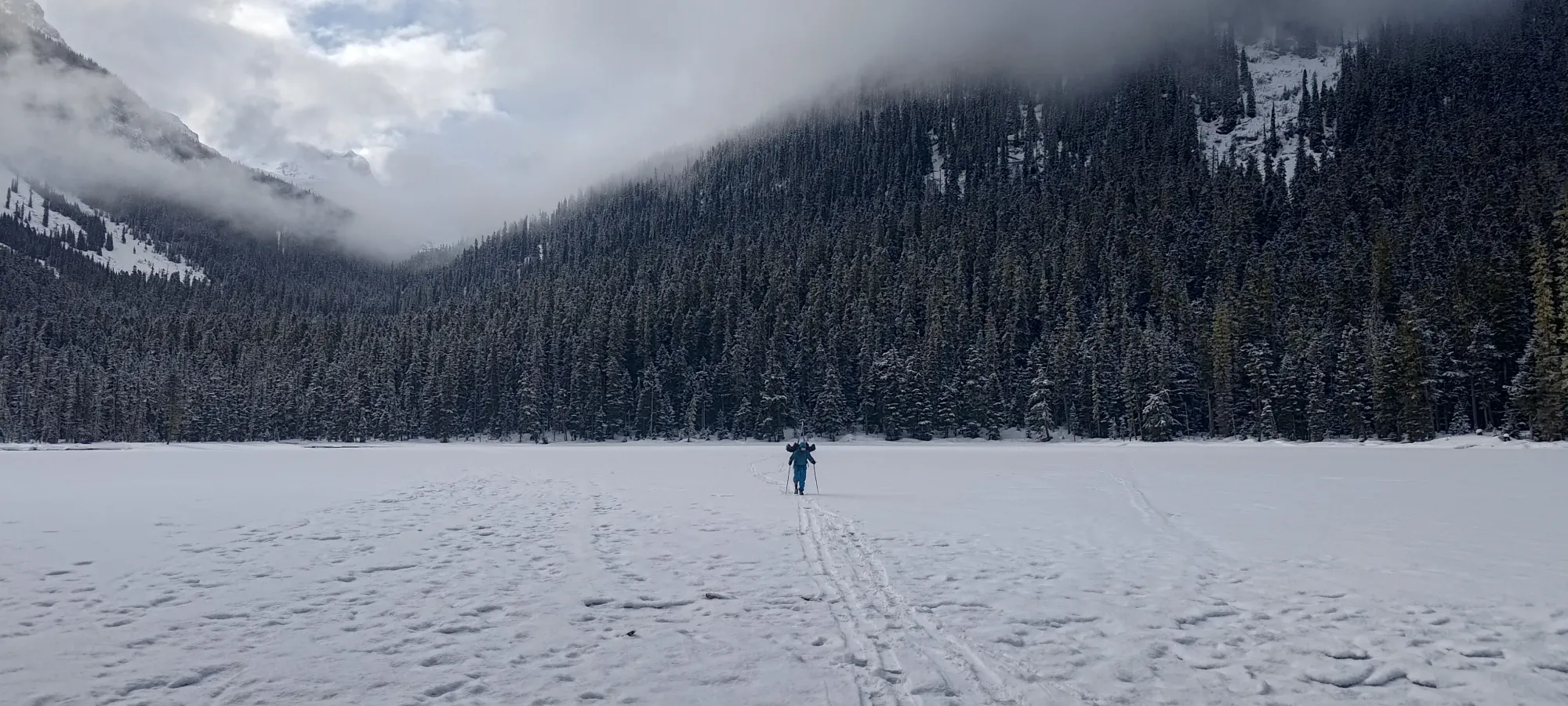
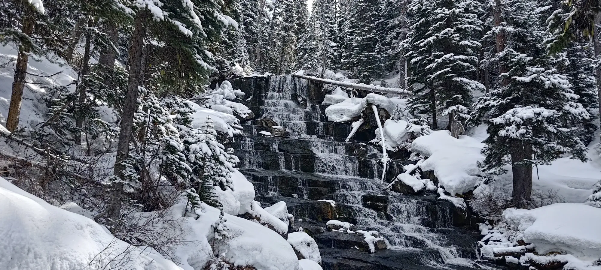
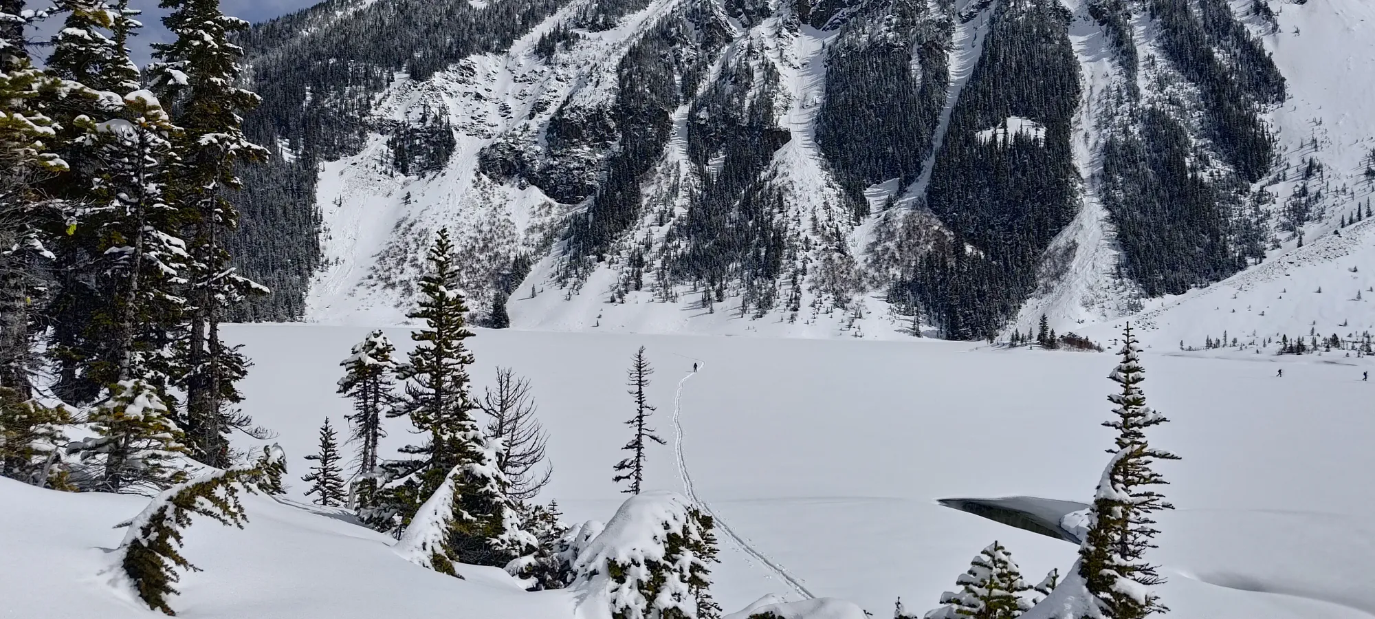
From there, we walked up at a fairly steady but not super-fast pace. We did stop for a couple minutes to enjoy Holloway Falls, as Nick hadn't enjoyed them before (and while I'm not much of a hike-for-views kinda guy, I can still appreciate pretty things). Aside from that stop, though, we just plodded our way up, and made the upper lake in 80 minutes. Not too slow, not too fast. Tanveer continued making his way up at his steady pace, and joined up 20-25 minutes later. Once he caught up and got his skis (read: splitboard) set up, we started crossing the lake 1:55 into the day.
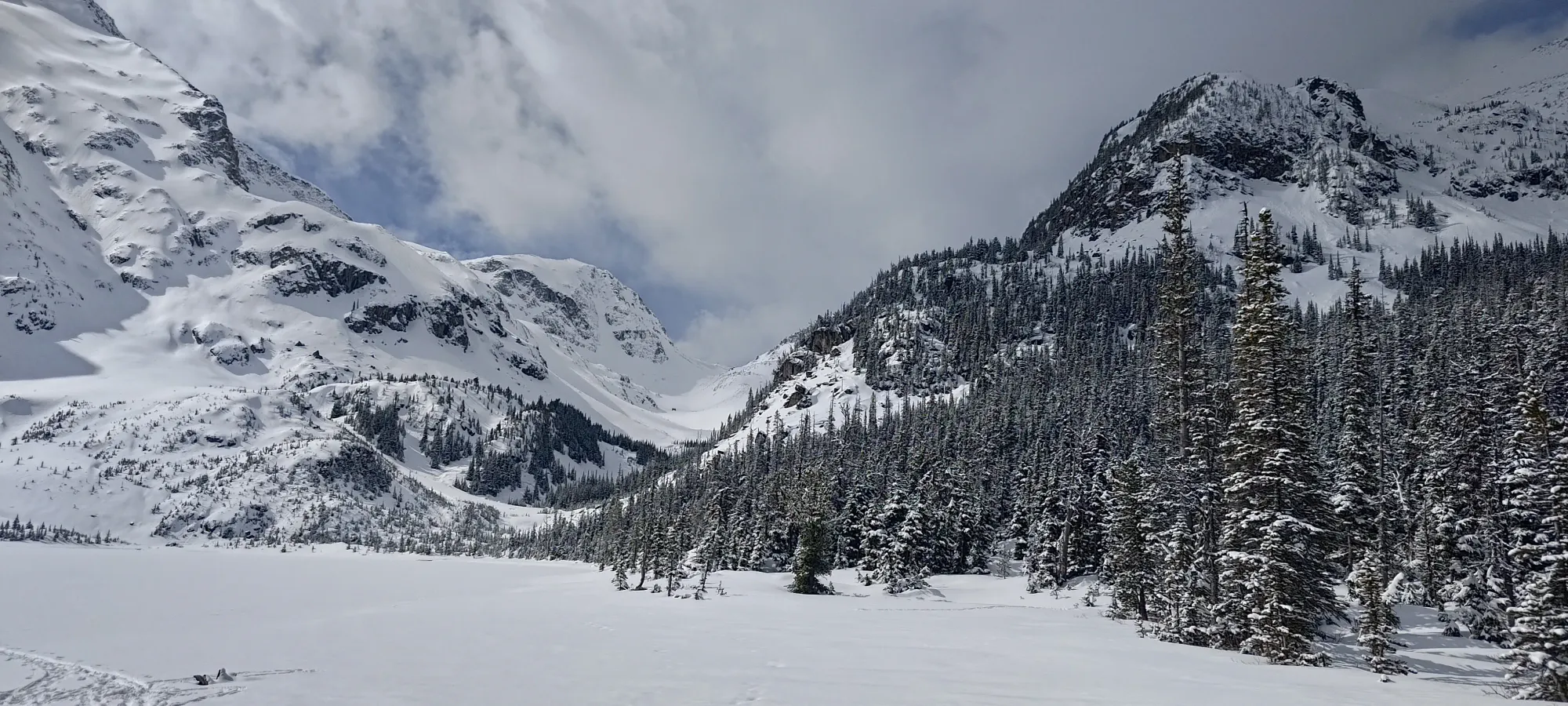
While some people had broken a trail up Slalok already, nobody had gone over towards Tszil or Taylor yet, so it was time to do some trail-breaking. The lake is never really all that deep, but even once we got off the lake, the ski penetration was only a few centimetres, so not a huge deal. There were some very faint tracks visible in the snow, but navigation was largely left as an exercise for the reader. Thanks to my many trips to this area before, though, I had a pretty good idea of where to go, and was able to lead us up without needing to reference maps or worry too much about the old tracks. I'm not one for repeating peaks, but it is convenient to be familiar with the area, admittedly.
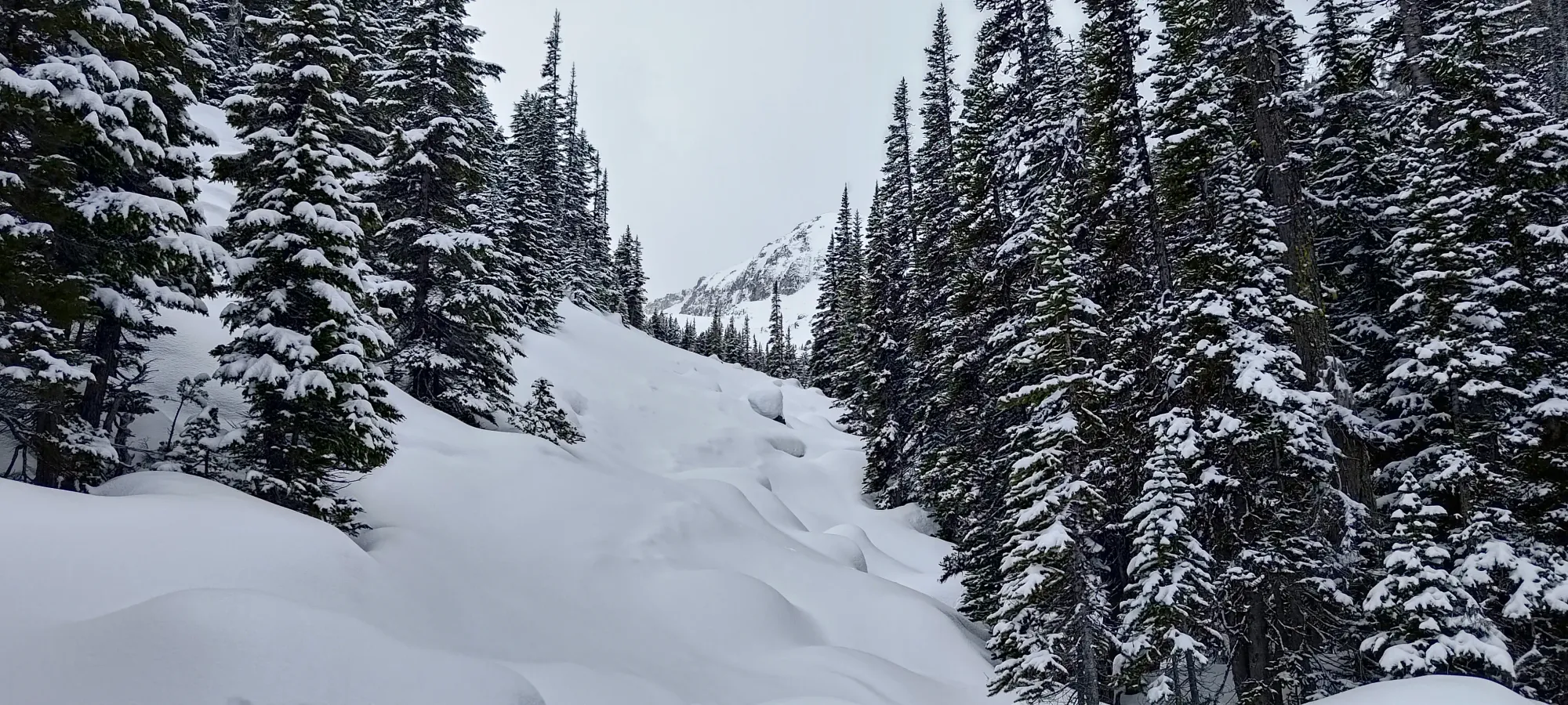
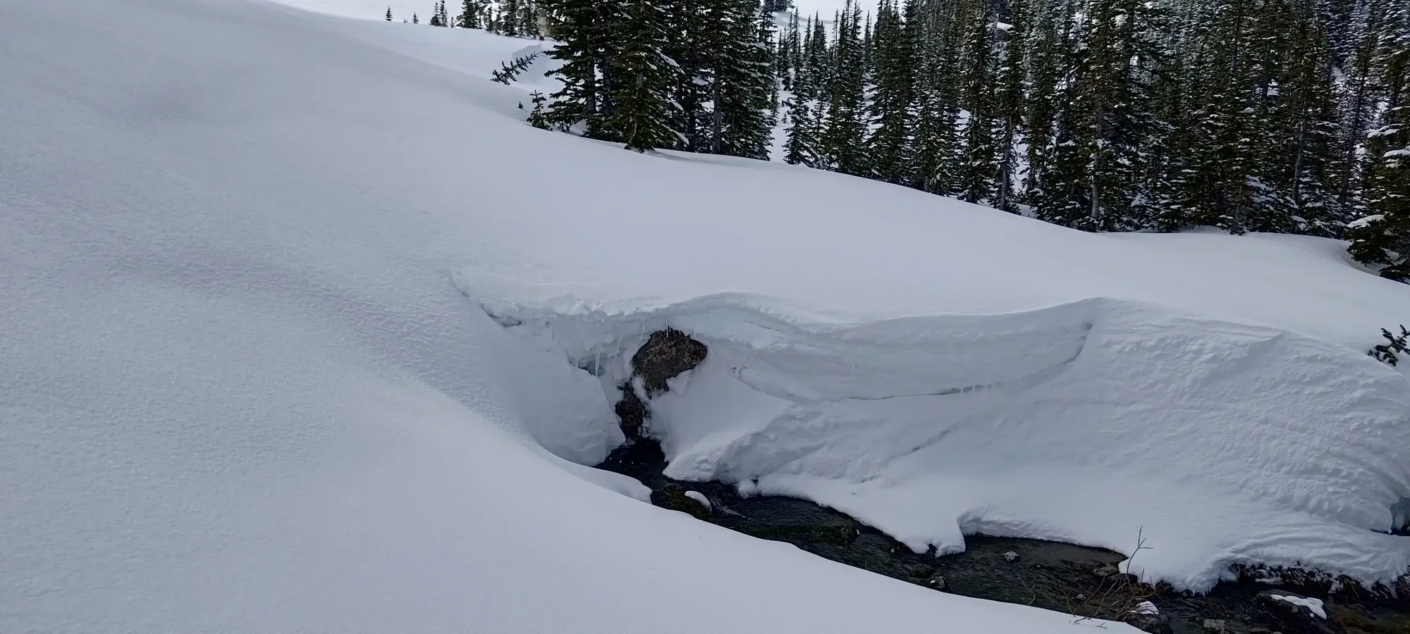
Once we got done sidehilling through the boulder fields (thankfully with just enough ski penetration for it not to feel like we were on our edges the whole time), we only had to weave through the open forest for a few minutes, waiting for the right time to cross the creek (which was open) before breaking above treeline. We ended up going the full distance above 1700m, until we were basically right in the valley before doing so, which made the crossing quite chill (just walked over where the snow cover was quite thick/consistent).
Here seemed good
At our fairly chill pace, we got to this point in just about 2.5 hours. From here, the navigation was simpler, so I'd originally planned to start swapping off trail-breaking now that it was just "wander up the drainage until the Tszil-Taylor col", but I was actually feeling pretty good still, so I just kept on going, interested in seeing if I had actually built up enough strength for that to feel fine.

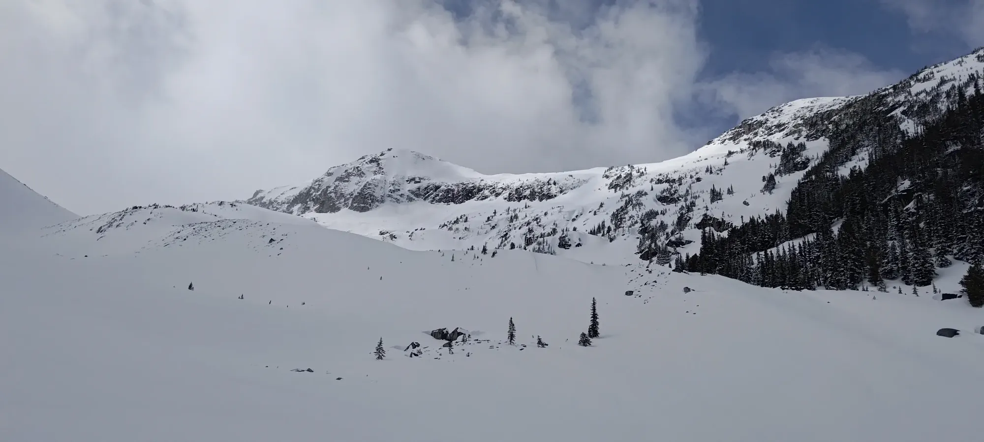
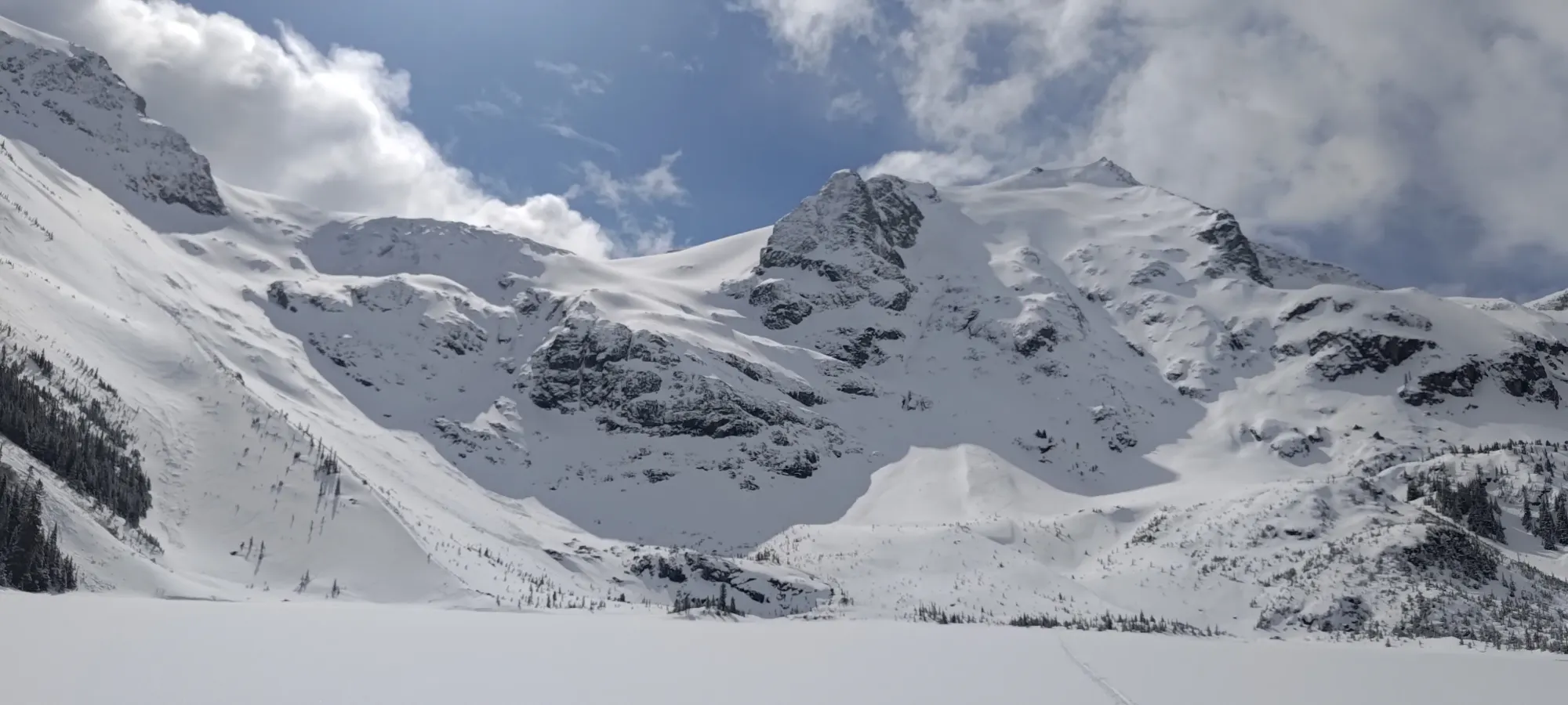
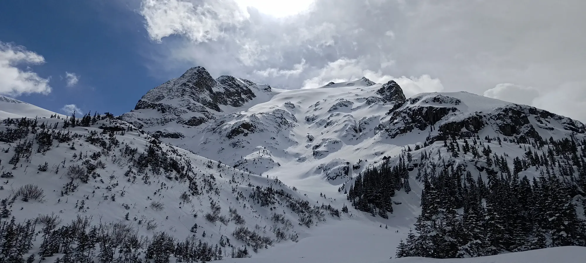
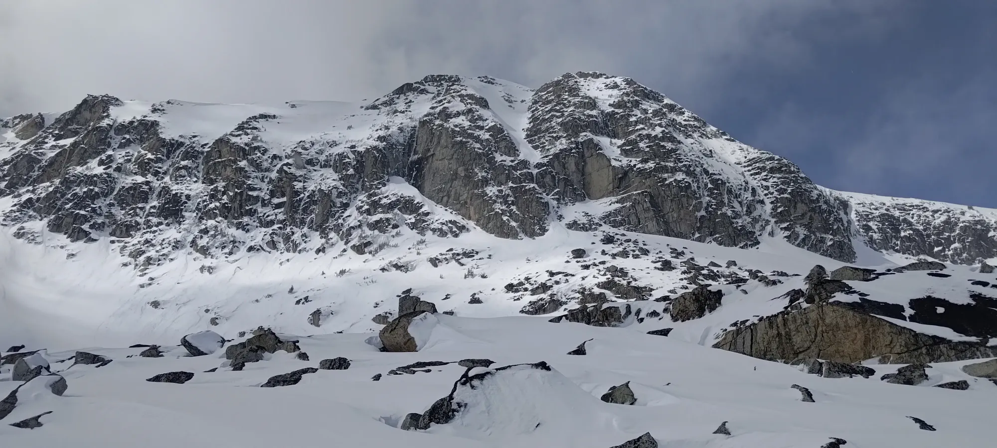
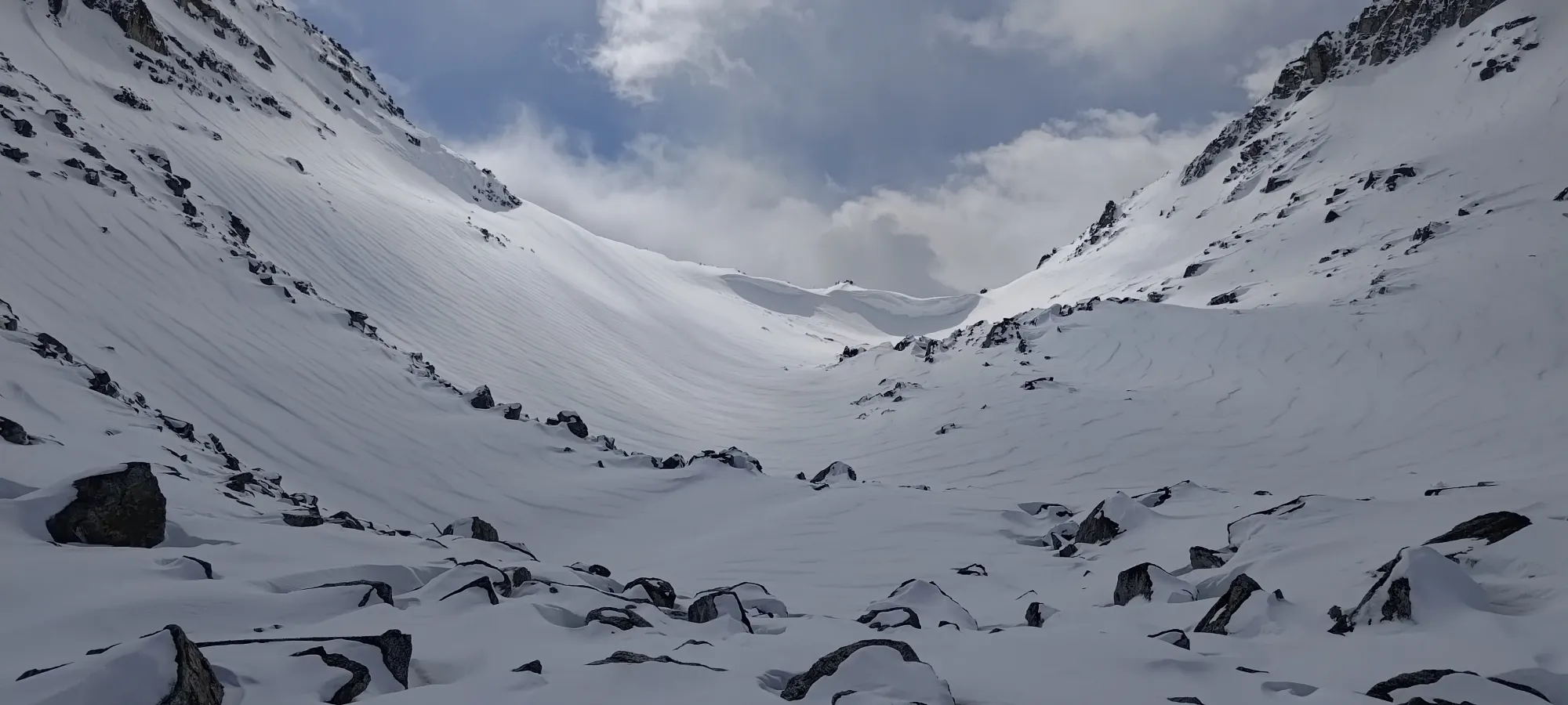
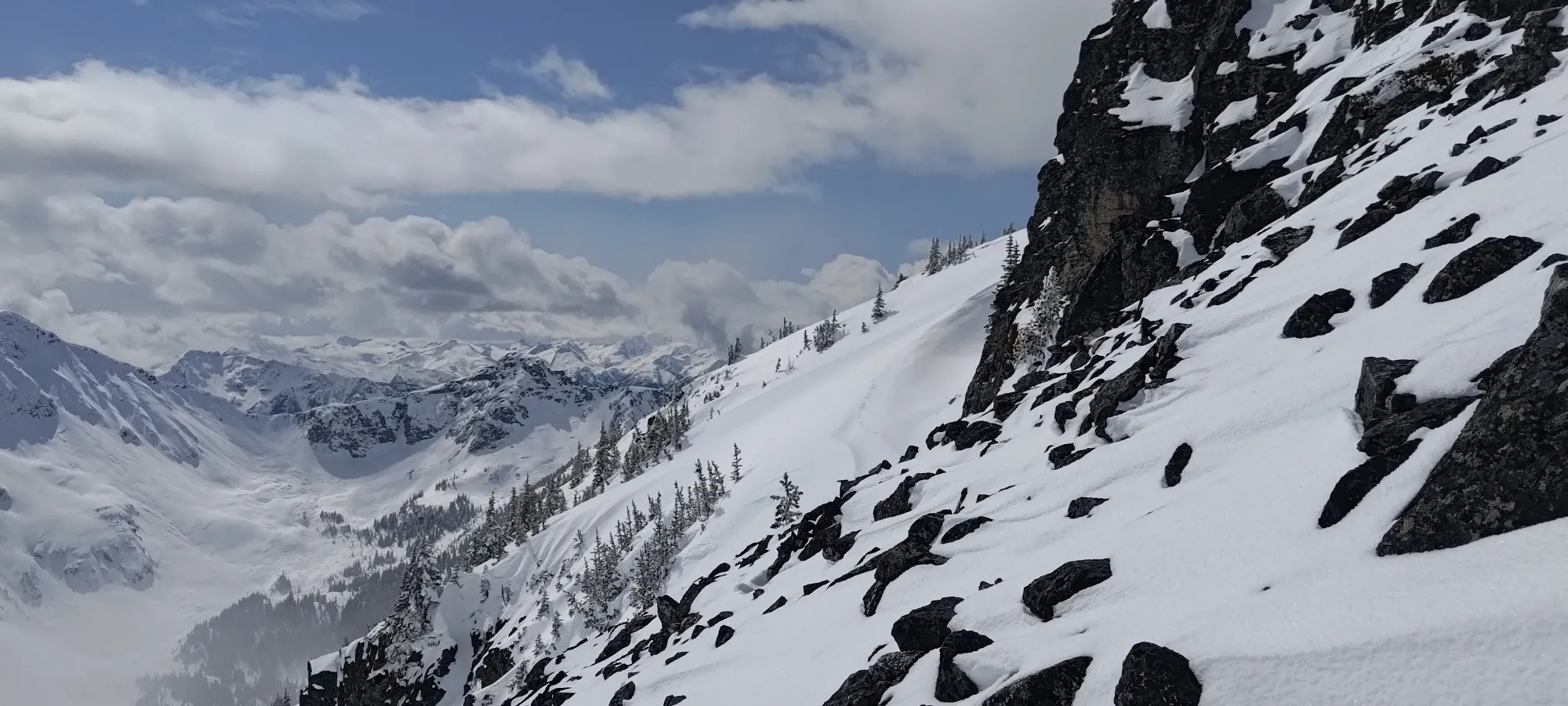
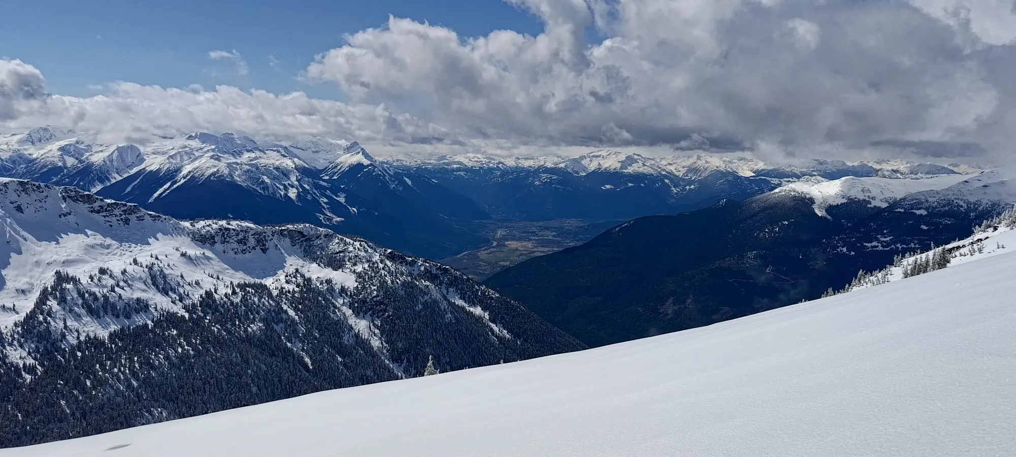
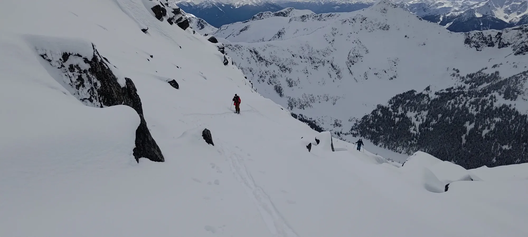
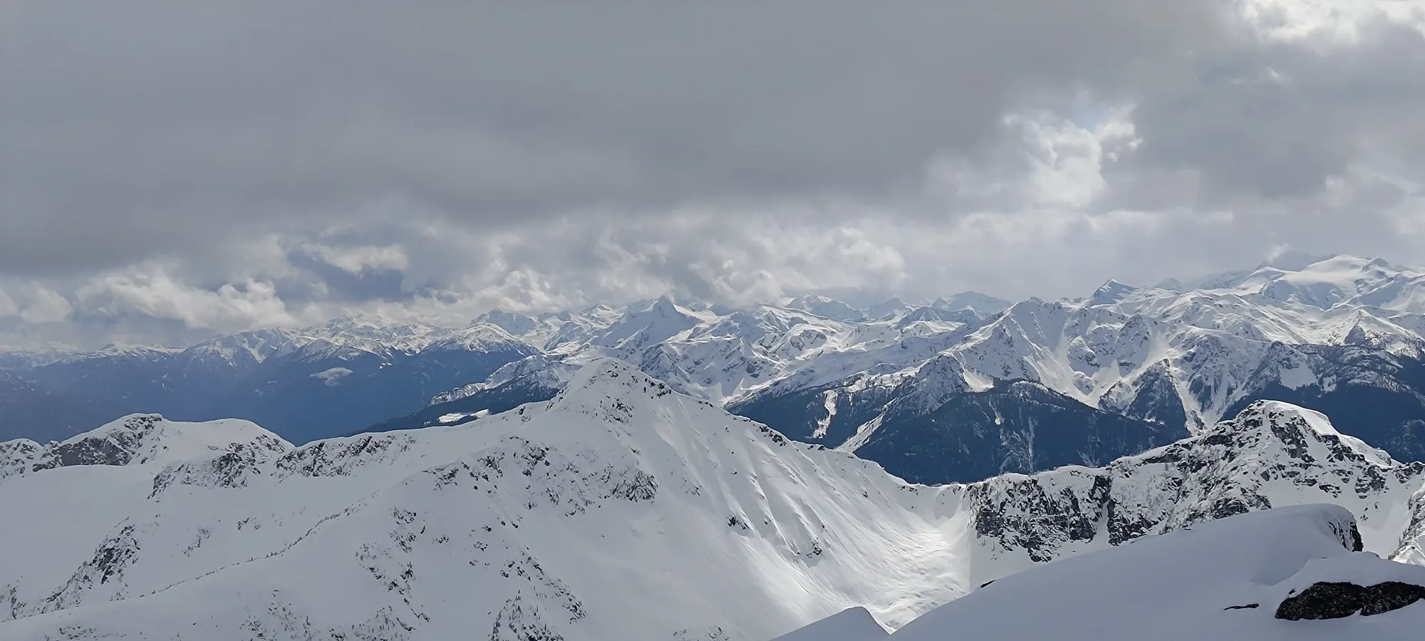
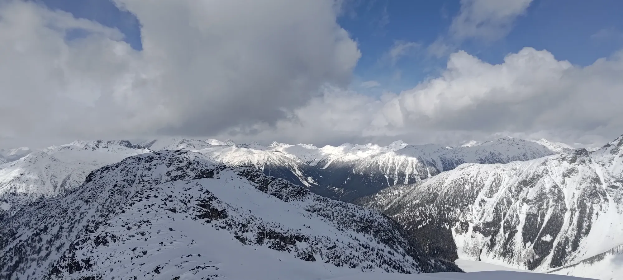
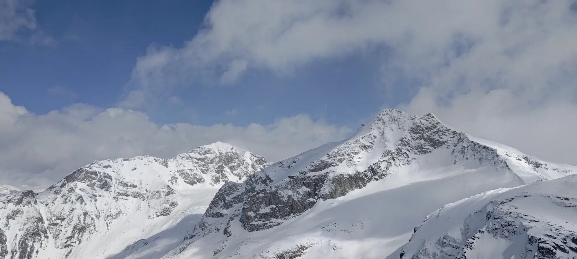
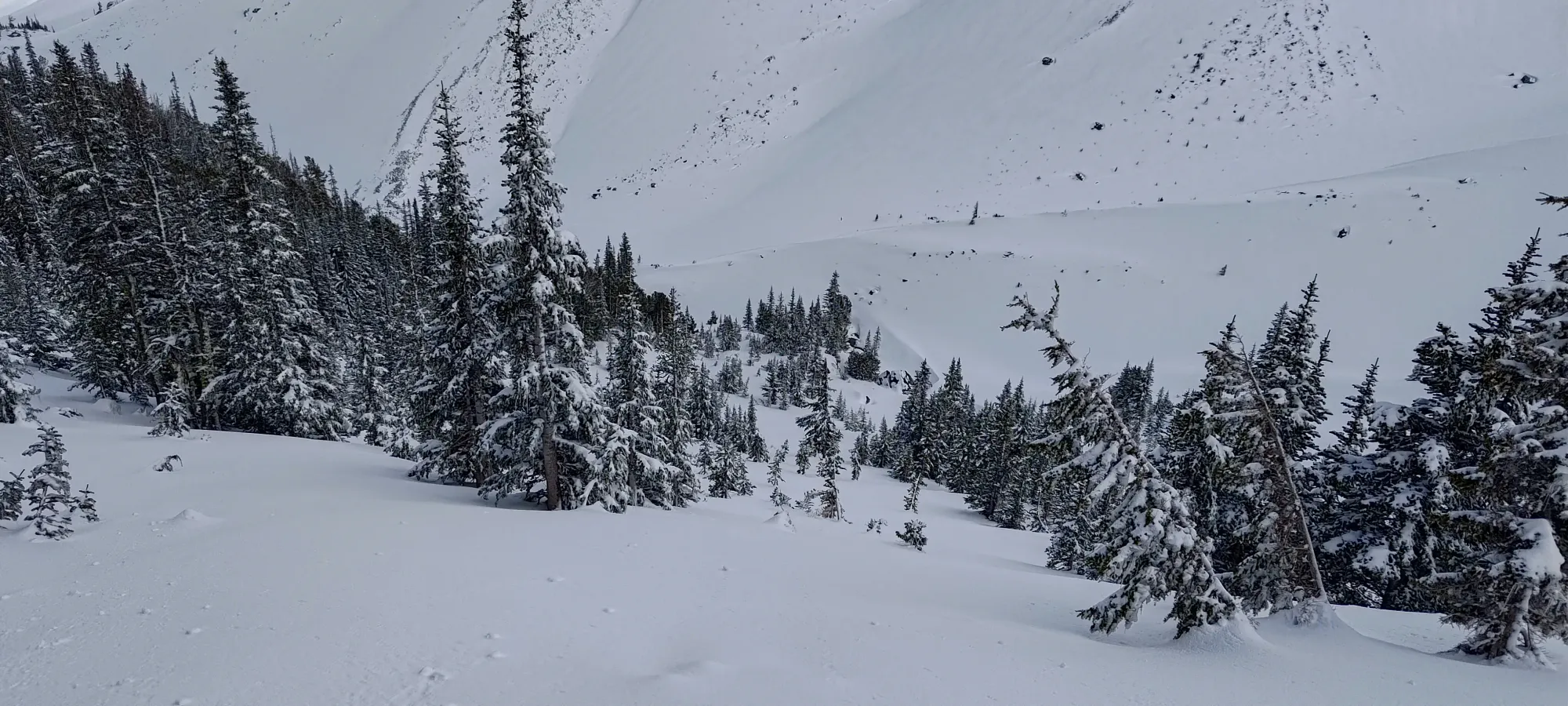
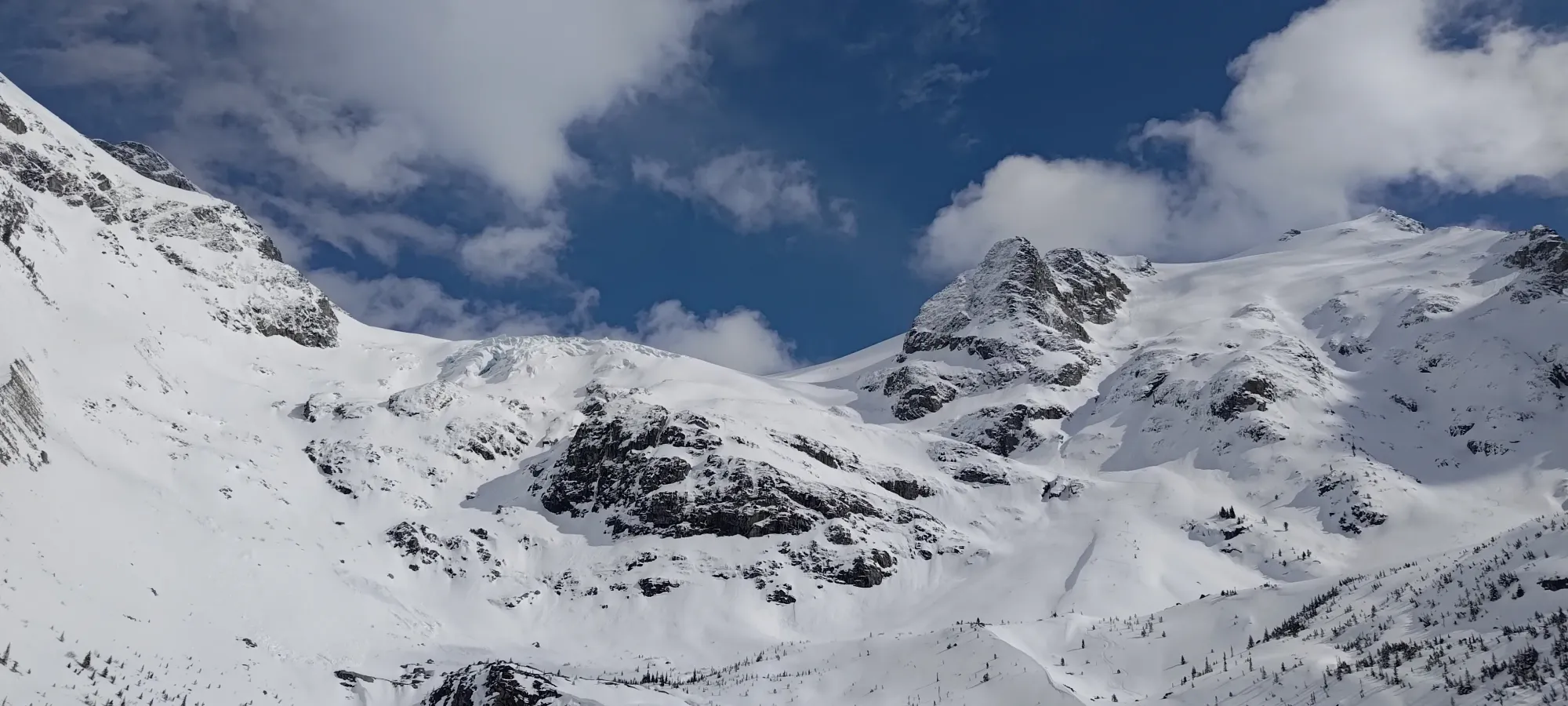
As we were walking up, Nick and I were just staring at the NE face of Taylor trying to pick a good line down the face. I had teased that I'd thought there were some good lines sneaking through/around the cliffs that would offer more interesting skiing than the fairly-flat drainage that most peakbaggers use for their way up and down, so we put some good effort into sussing out a line that went without mandatory air.
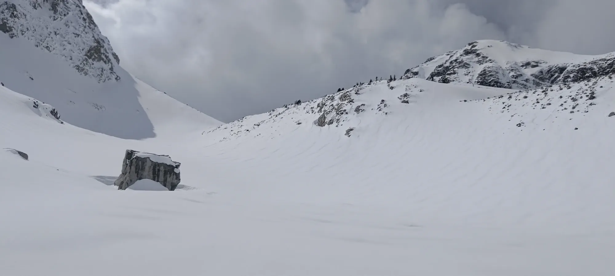
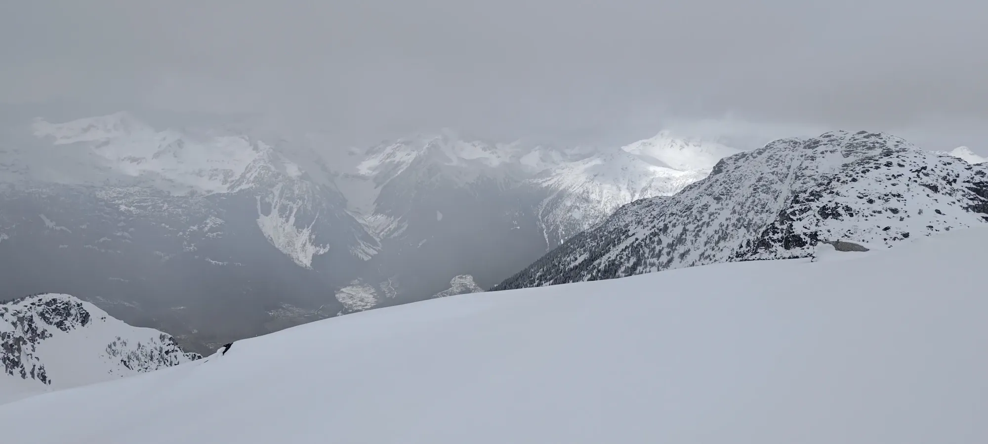
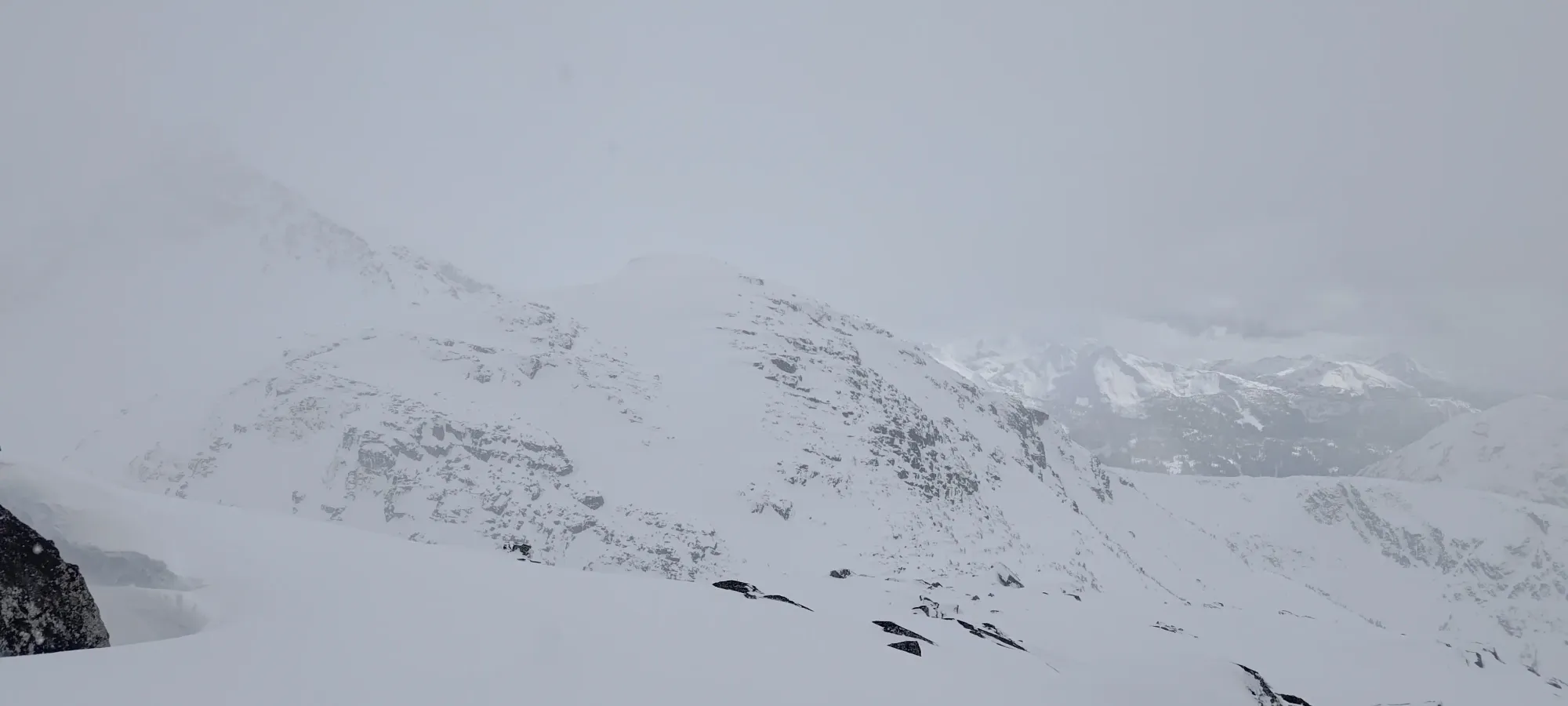
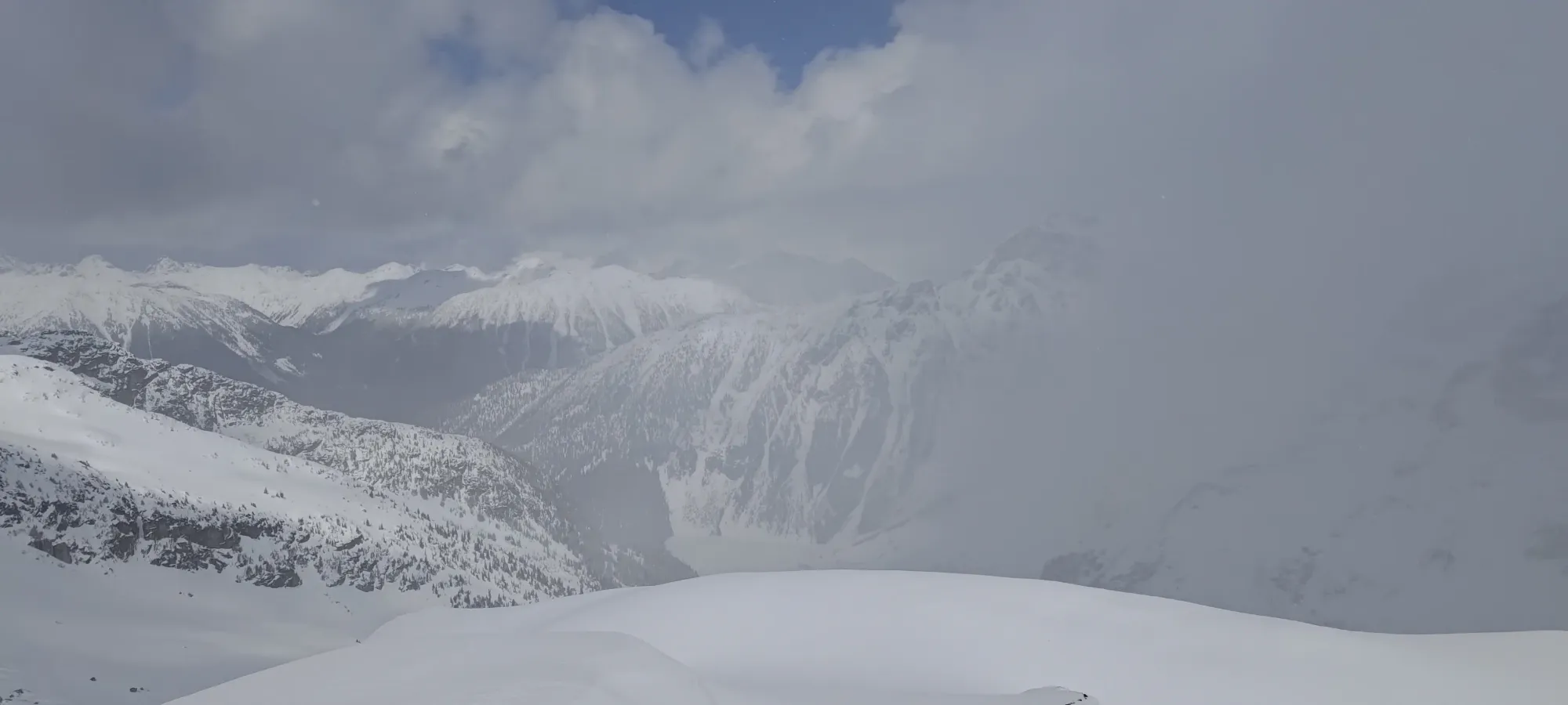
As we continued up, the snow was largely still good on the skin track, but we did notice some signs of melting taking place on previous days in the snowpack. We weren't sure how we'd do with sunlight, as our slopes were north-facing, but also eastern, so the sun was already starting to do its thing. There were clouds coming in and out, at least, which helped stave sun crusts off a bit.
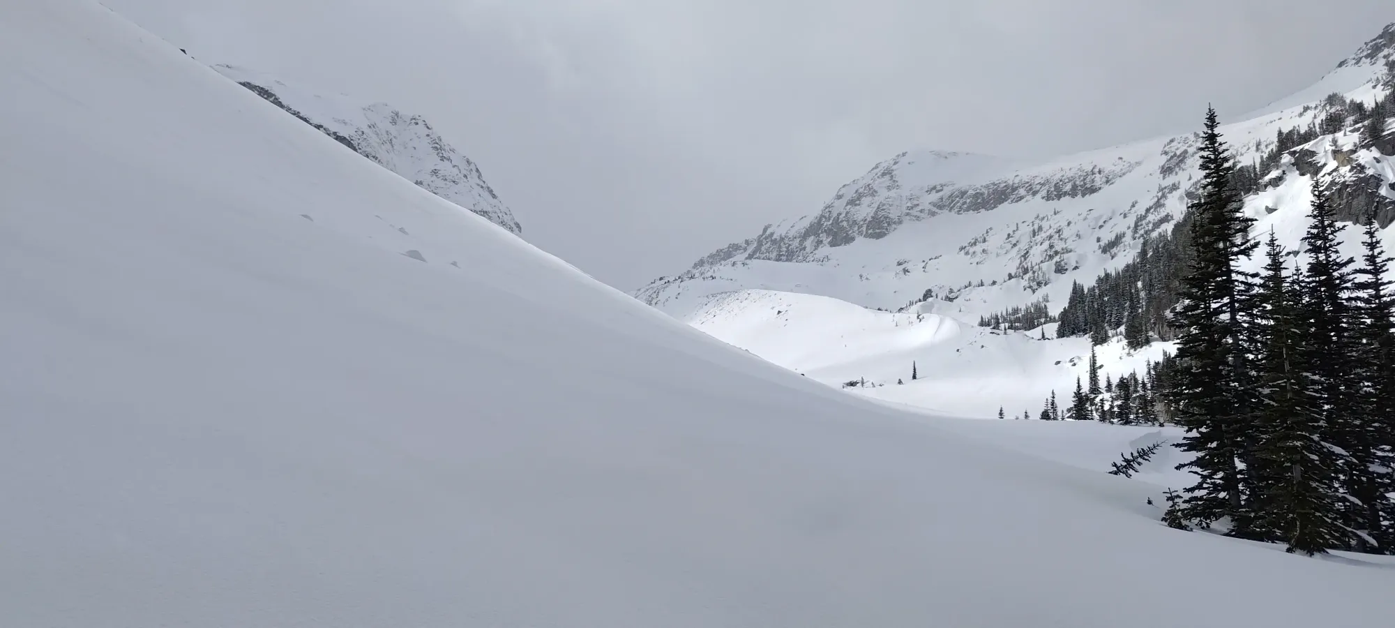
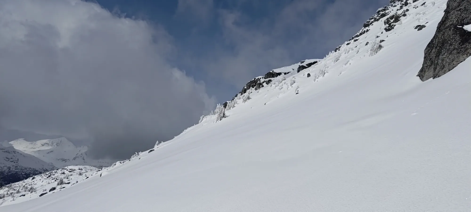
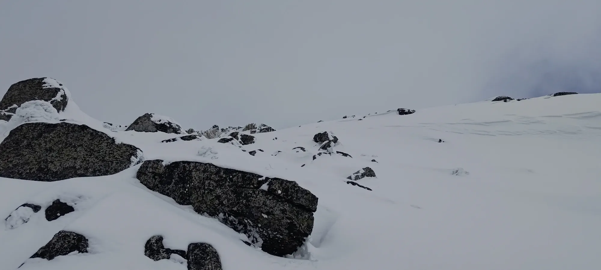
Between 1950 and 2000m, there was a short slope steep enough to actually merit making a switchback or two; which was about the most interesting event before I topped that hill out and waited for the whole group to coalesce again. Since we were getting closer to the summit, there were actual decisions to make about route choice at that point.
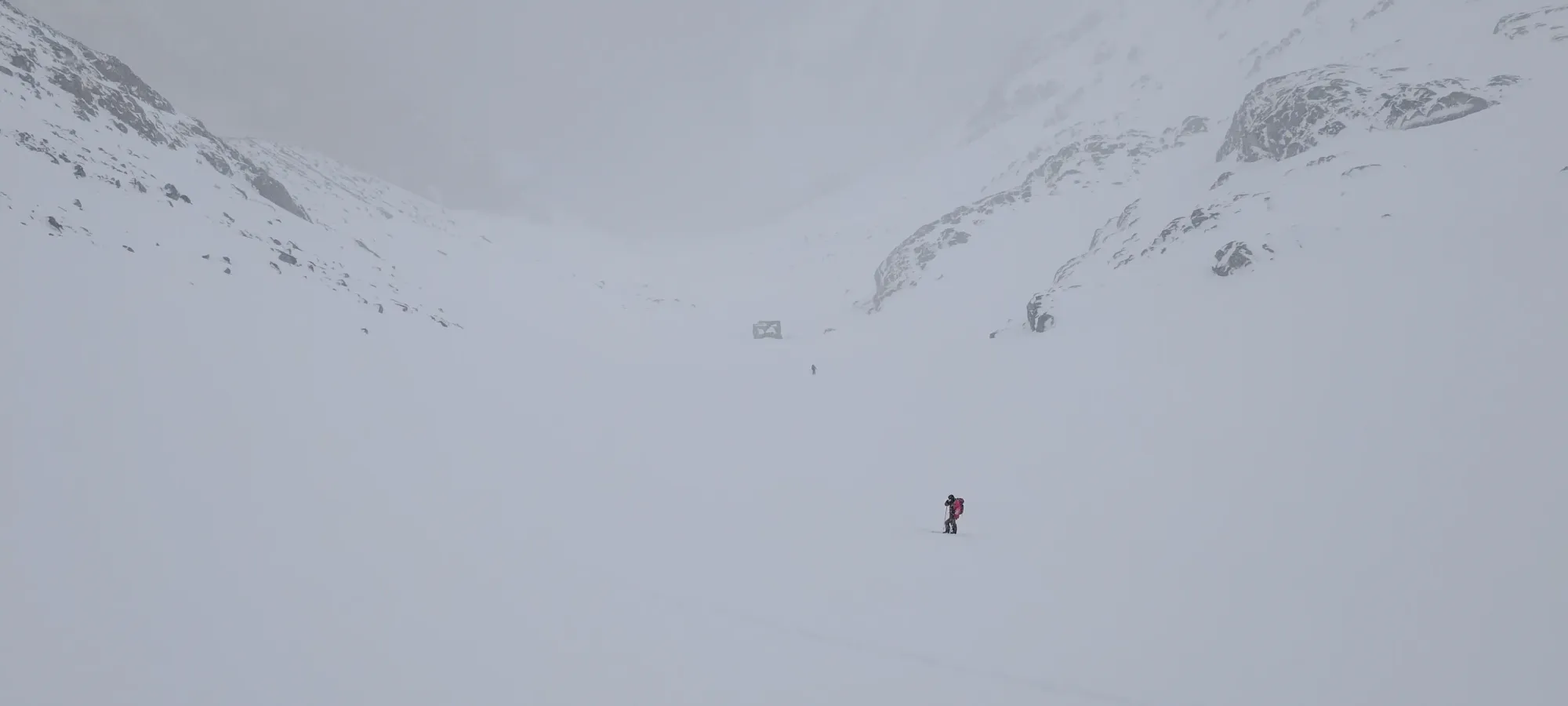
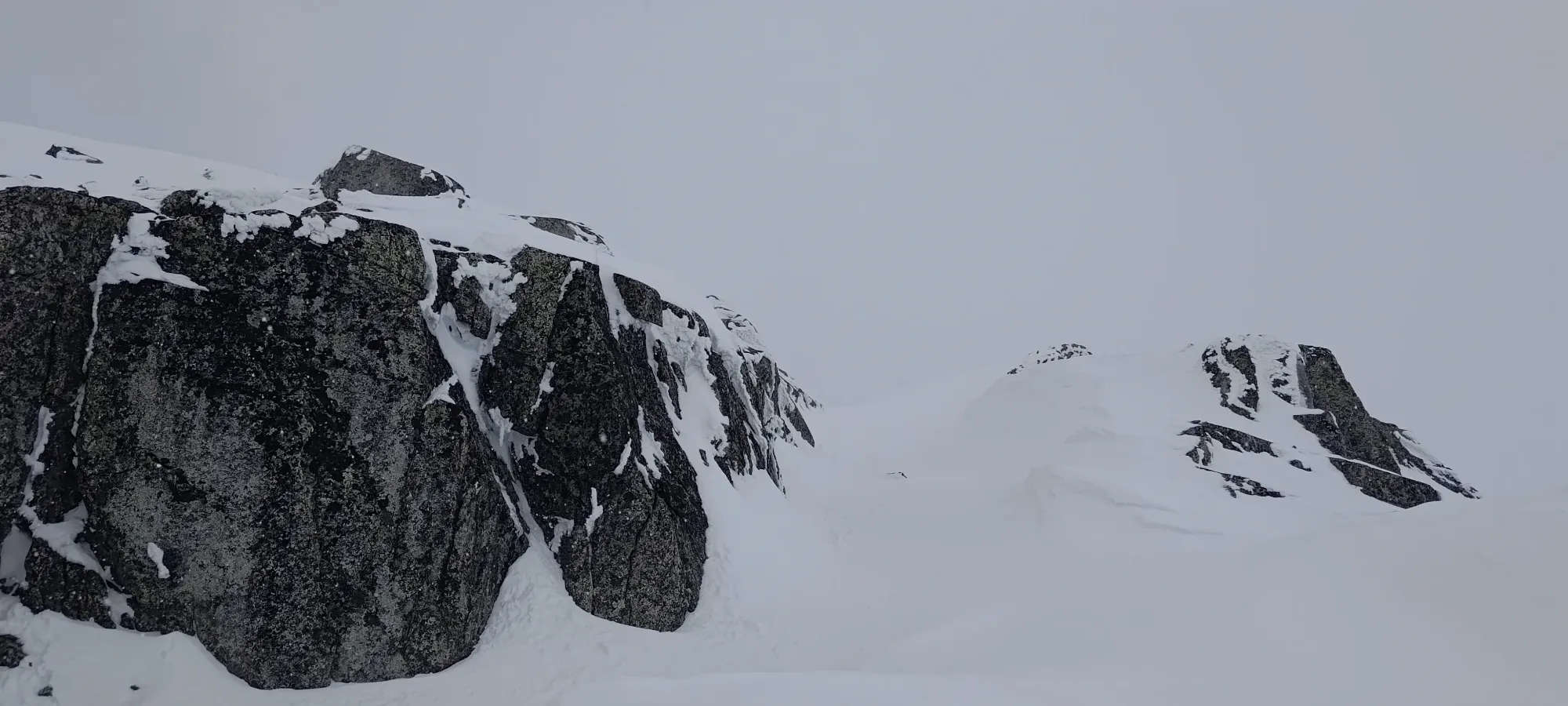
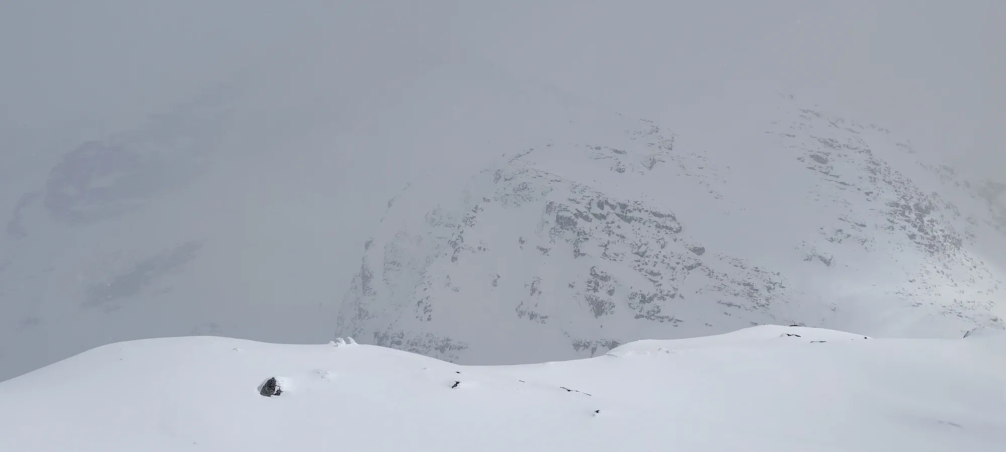
After waiting for about 10 minutes, we all reconvened, and figured that climber's right around the cornice would be ideal, but if it was too steep to skin comfortably, the long way around would make more sense, so I set out with that in mind.
Sure enough, trying to go right was annoyingly steep, so I got as close as I could to the cornice while still giving it a good berth, and then switched back left to cut across the slope and get on top of the col. This stretch turned out to be pretty crappy, as the snow got firm and slippery, and required some careful application of ski edges to keep moving up. That annoying bit of navigation took about 20 minutes for a whole 20 metres of gain 😅, but at least we didn't have to take our skis off! Tanveer did put his ski crampons on, though, as he's not the biggest fan of steep skinning.
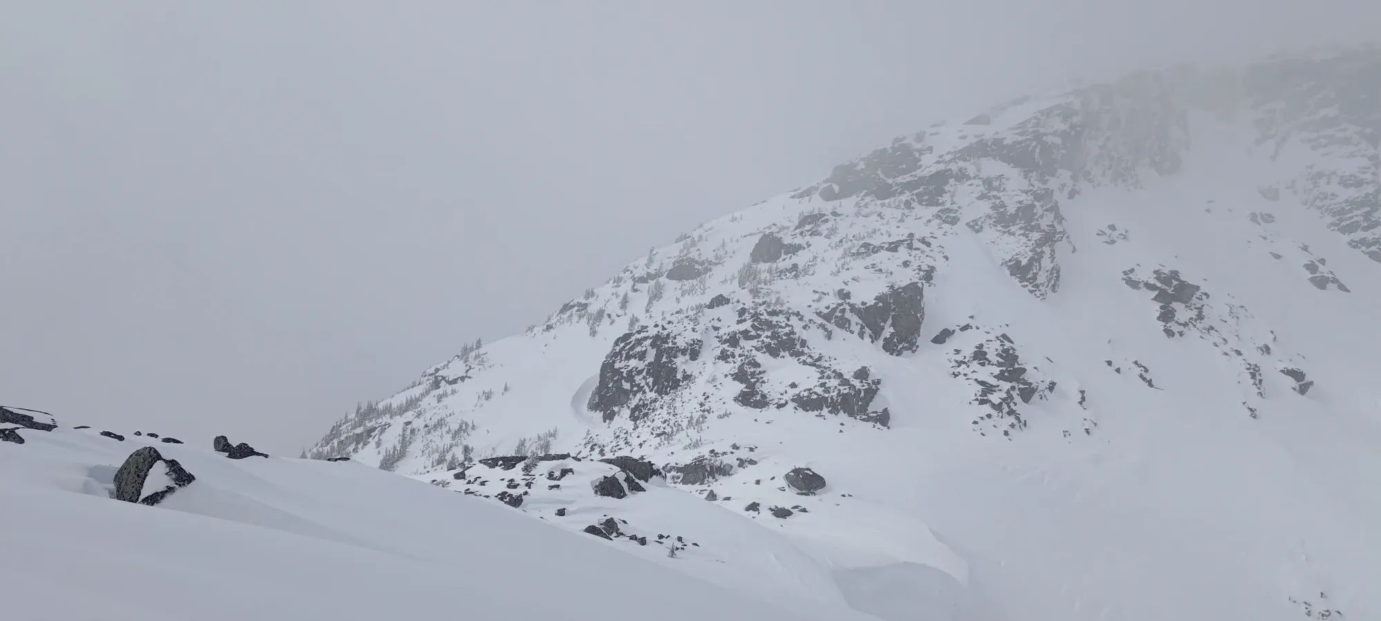
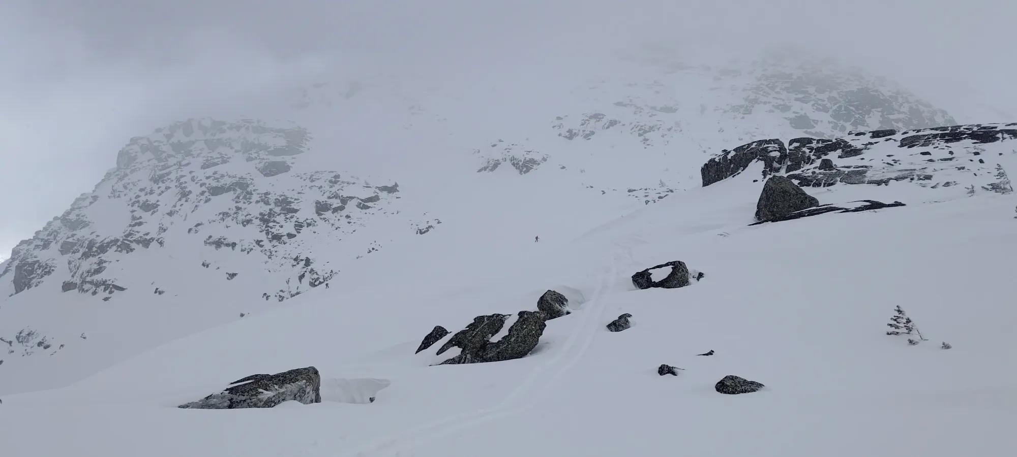
I waited another 10–15 minutes on the col for the others to make it through that section. Near the end of that, some hikers randomly showed up, apparently having booted up the entire route, not even with snowshoes! Evidently possible, but not my idea of fun 😅. They were intending to summit Taylor as well, but were planning on taking the ridge direct route, which is somewhat scrambly, and they weren't sure if they'd have the time to do so, given their lack of skis for a quick descent. They did give it a shot, though, and we'd find out later if they made it.
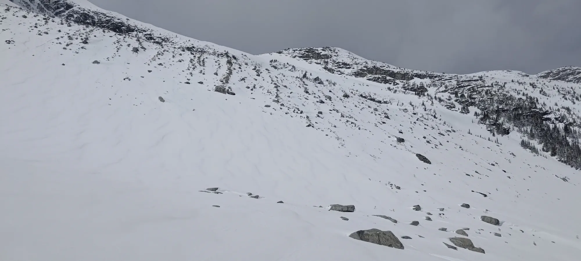
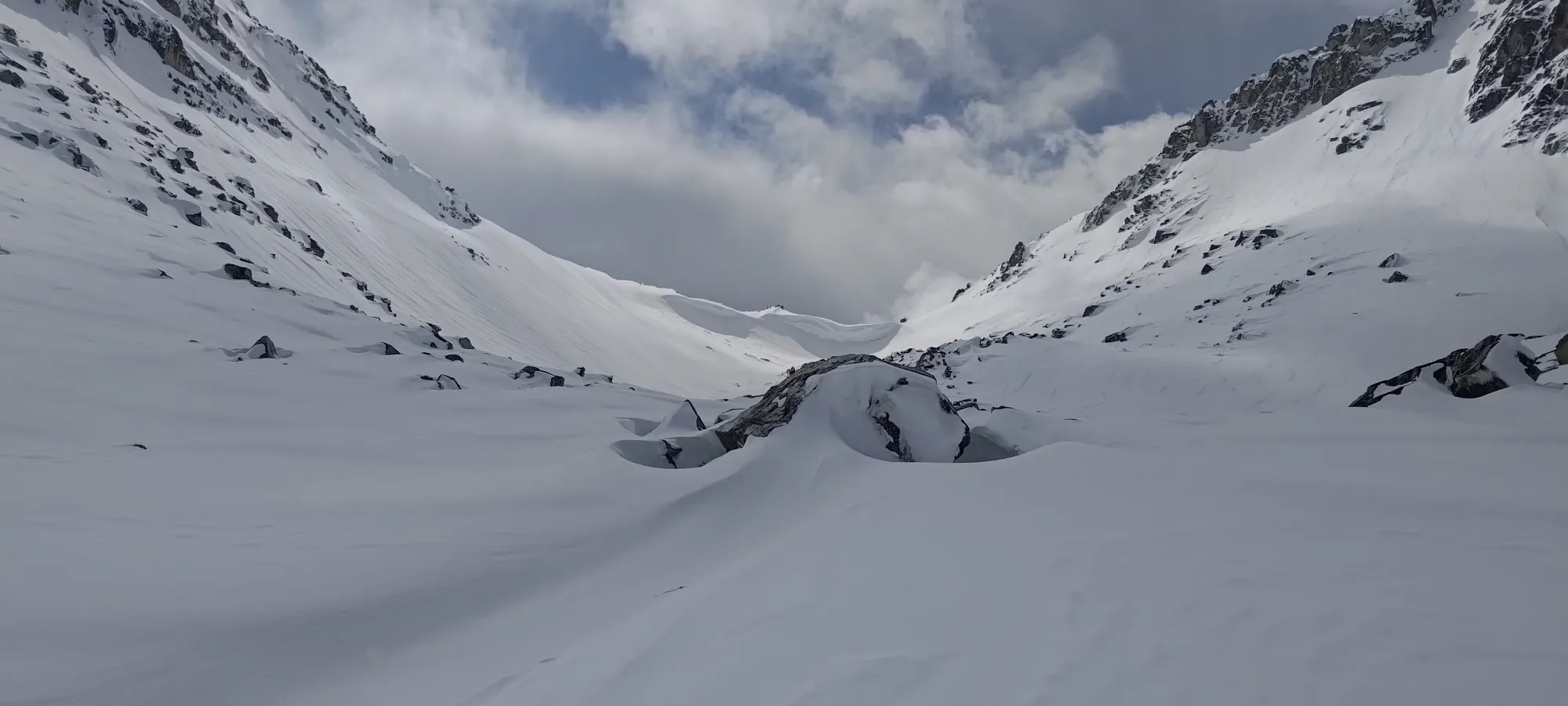
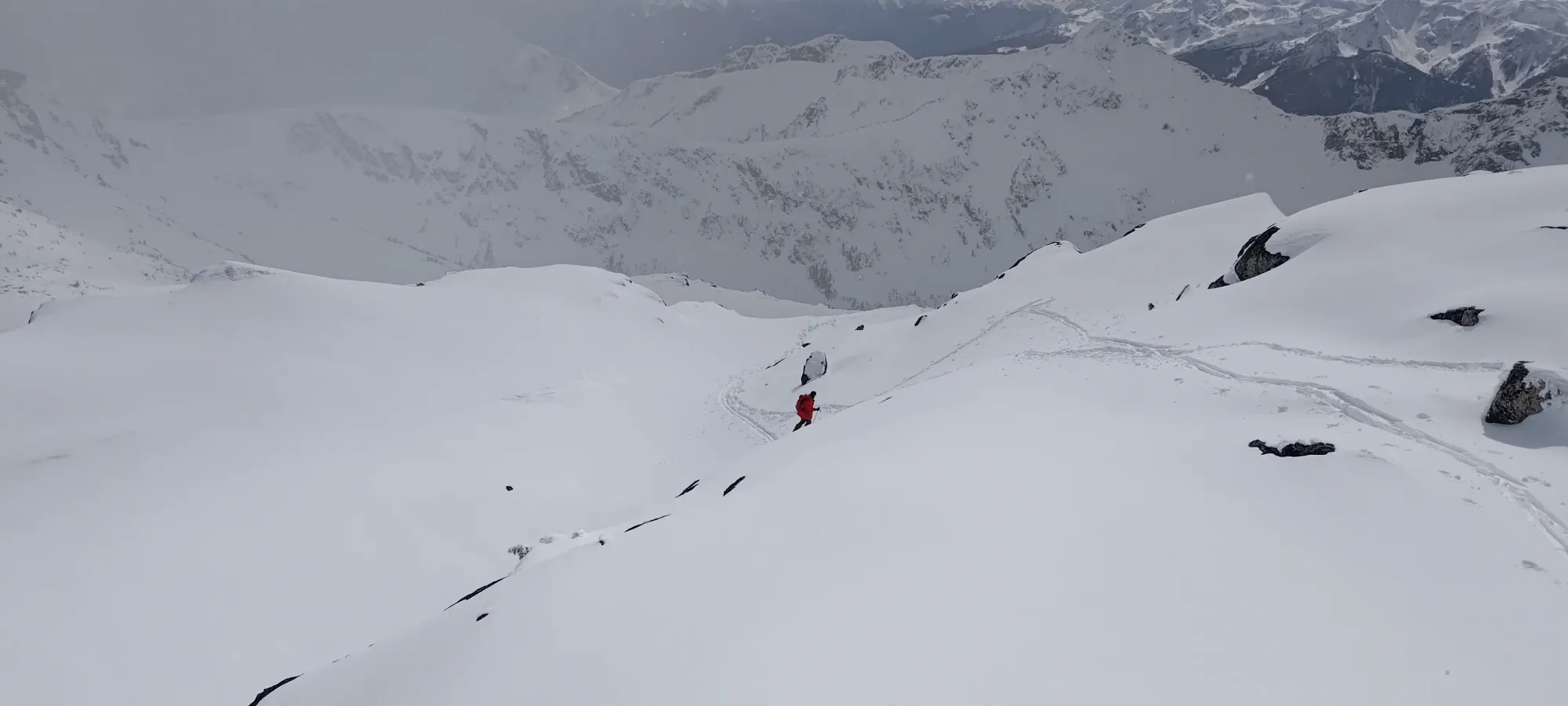
In the meantime, we discussed our route. I knew that the typical ski route wrapped around the peak to the south and went up the western flanks, but I didn't have much proof of this beyond having read about it before, so Tanveer didn't have much faith, and was considering just booting up the ridge instead. I convinced him to have some faith in me, though, and after taking our skis off for a 15-step walk across some less-than-covered rocks just past the col, we were back to some pretty easy skinning, with the snow a bit softer/deeper on this western aspect.
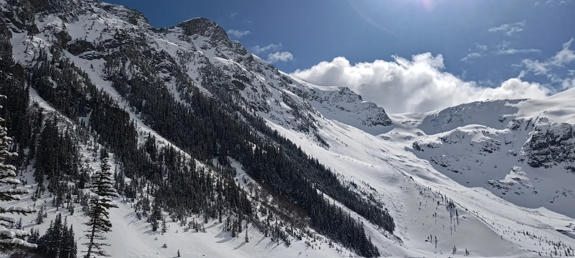
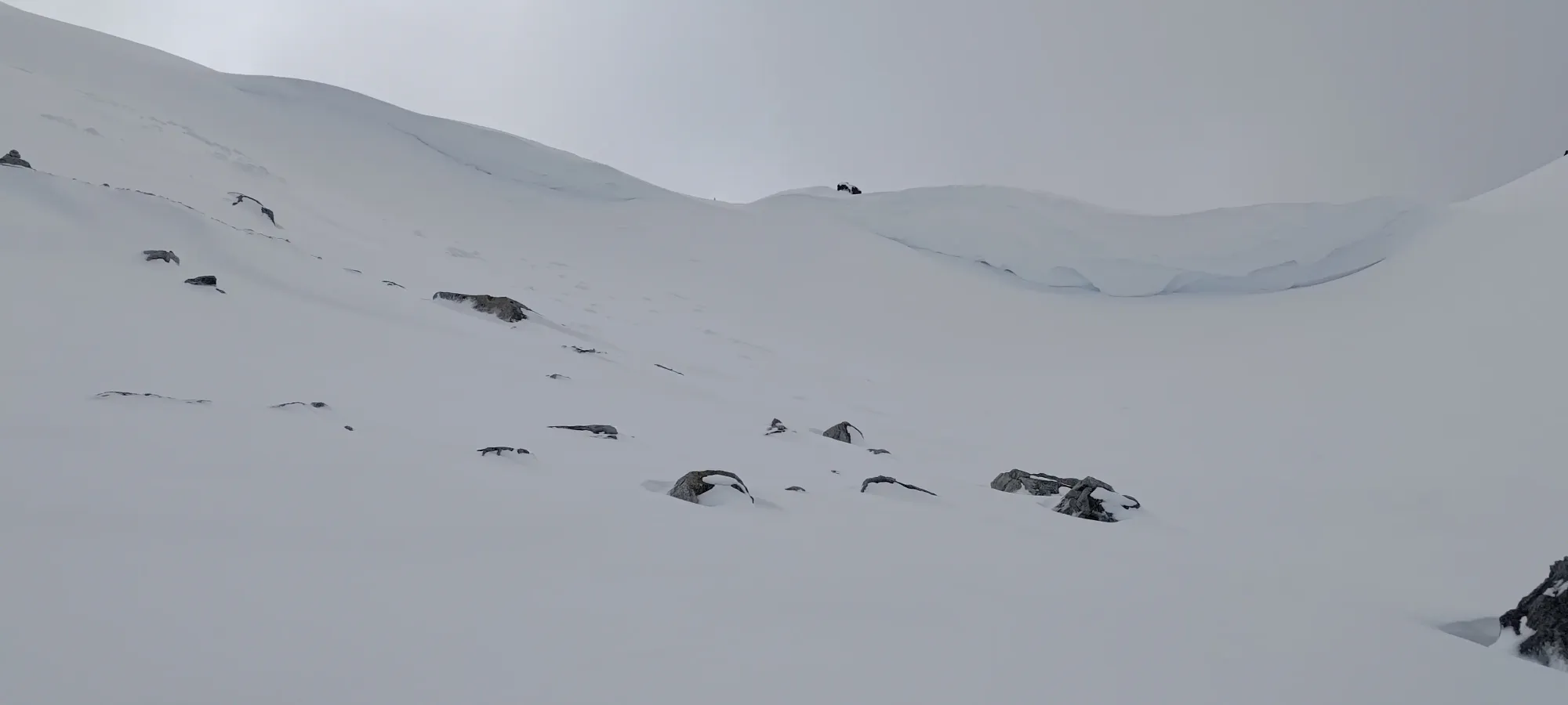
From this point, we had a pretty easy skin up the last 0.8km and ~150m of elevation. The majority of that was just traversing NW up the slope, which was the best choice on this very-stable spring day. I would note that this is a particularly exposed avalanche slope, though, so "you may need to take the ridge if you're coming on a day when this aspect isn't conducive to travel", the runout is not pleasant.
About 500m into the traverse, we reached the natural point where we had open slopes leading up to the summit block, so it was time to get a bit steeper and start switchbacking up to the top. Thankfully, unlike the corniced section before the Taylor-Tszil col, the snow was softer+deeper here, so that was a pretty easy process.
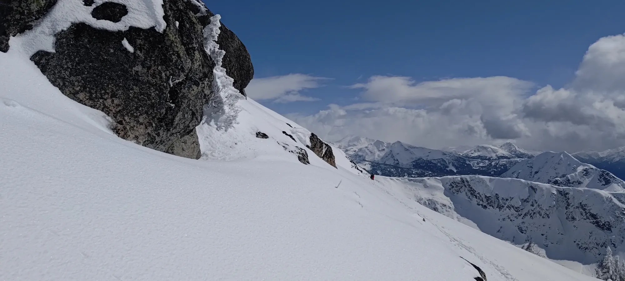
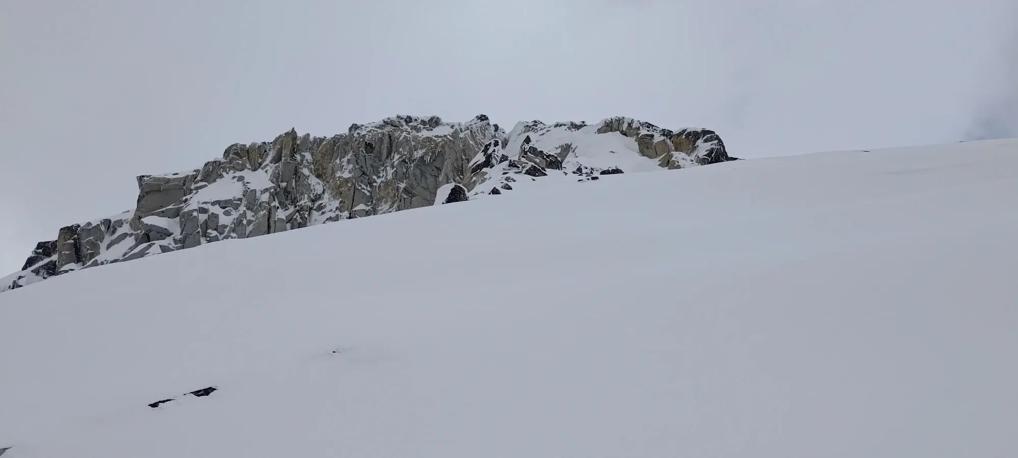
Once I popped onto the summit ridge, it was a short contour around some rocks, then there was a short gully to go up, and the summit was surprisingly skinnable all the way to the final rock! It was kinda nice after the last few trips I'd been on to not have to take the skis off til I wanted to transition to ski down.
Surprisingly, in the gully, I found one of the hikers, who I guess went up solo while his partner waited at the col? He mentioned that the ridge wasn't all that fun, and he planned to follow our tracks down, now that there was a route he could follow, so I'm glad that worked out!
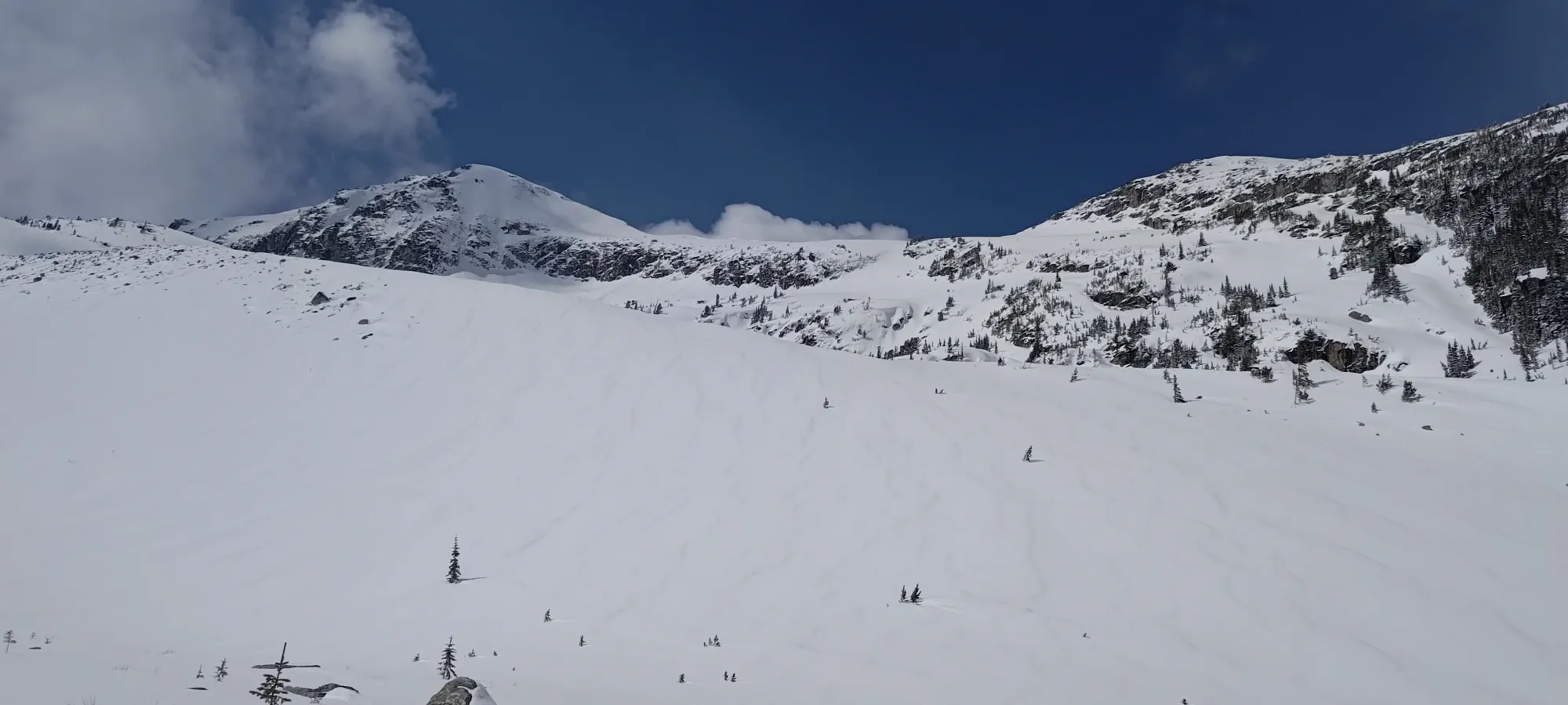
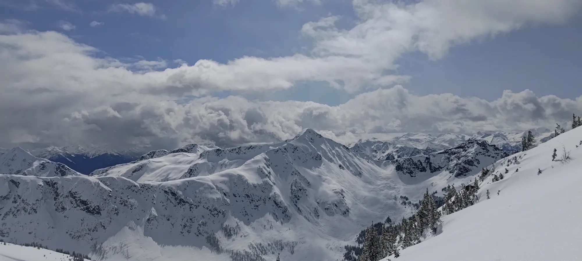
I reached the summit 5 hours and 20 minutes after we left the parking lot, or at about 2:45pm. One can definitely do it faster, but we did do some trail-breaking, and the casual pace was good for my skiing abilities, as I wasn't super gassed, and my leg wasn't in pain (been doing better with respect to that lately), so I could actually (hopefully) ski well! I waited on the summit for a couple minutes for the others to make it up, and we had a lengthy break (about half an hour) to soak in the views and figure out our plan for the way down.
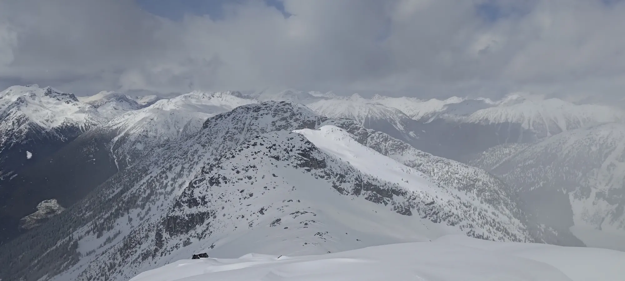
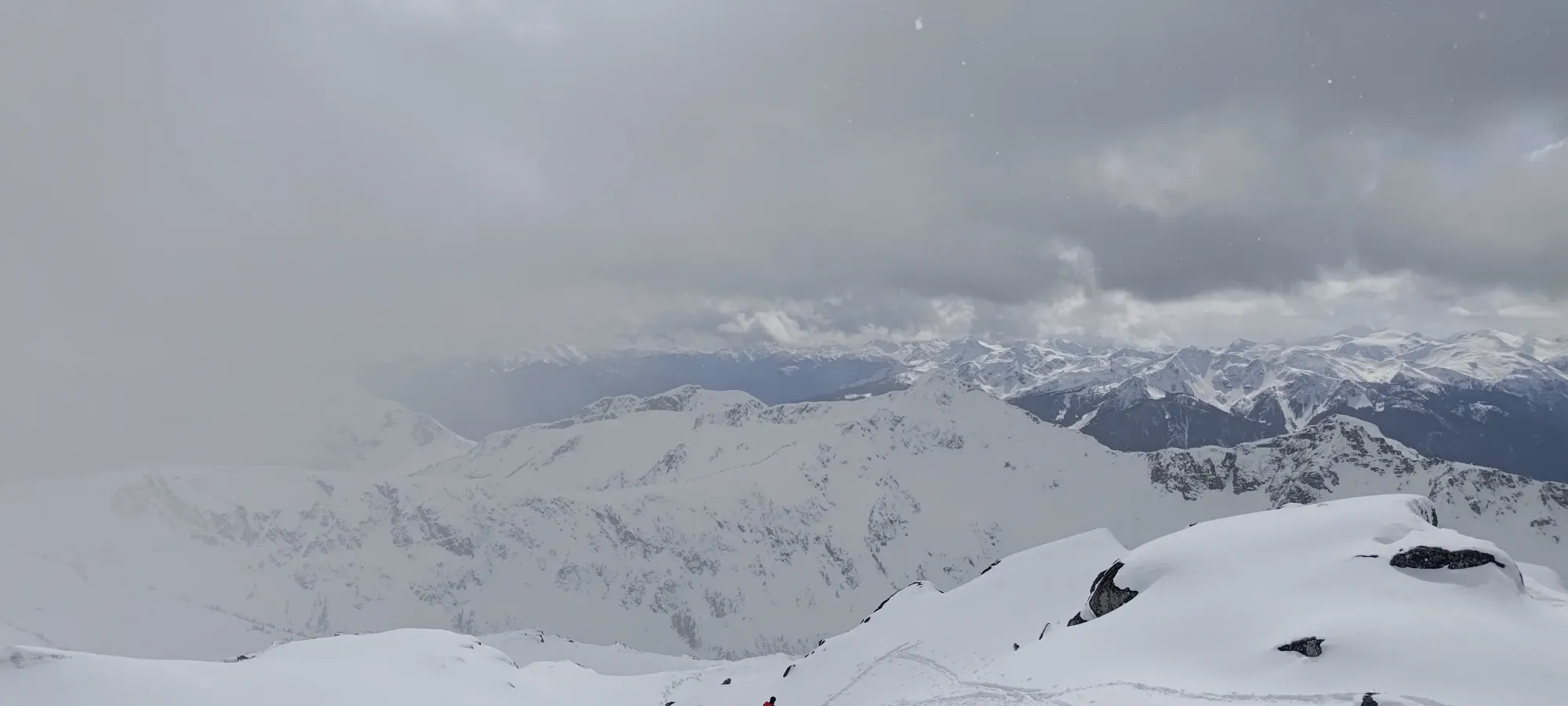
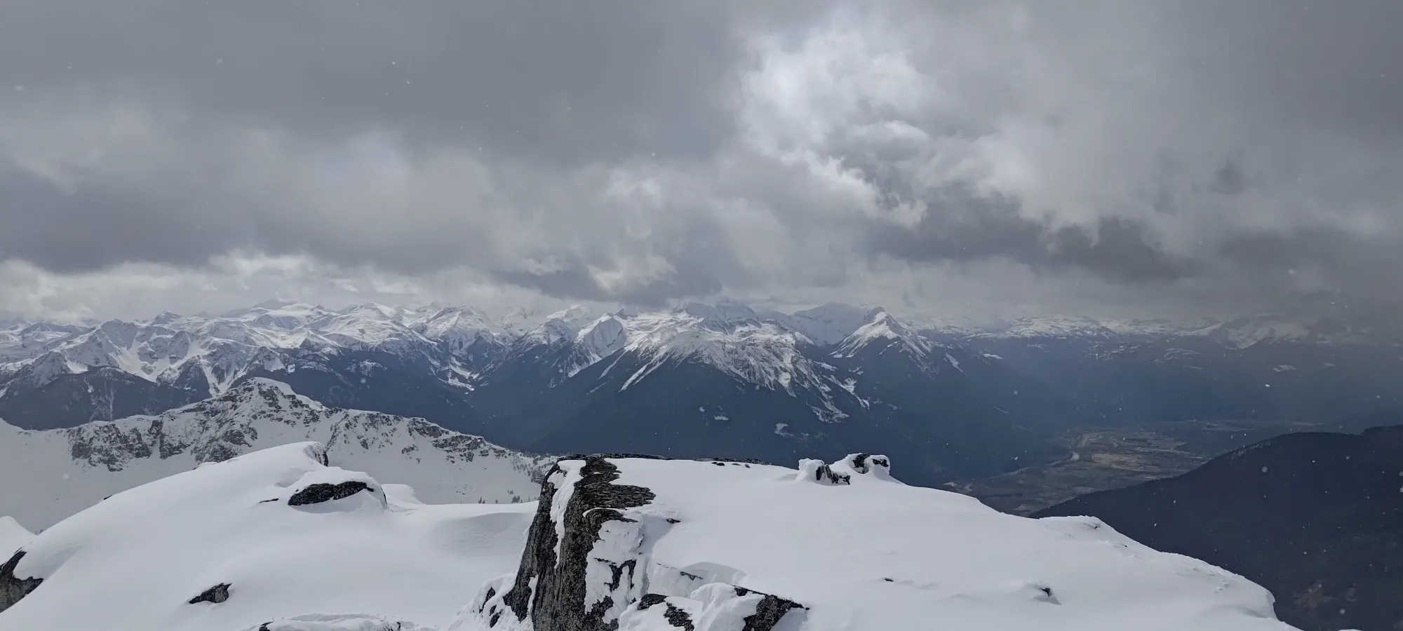
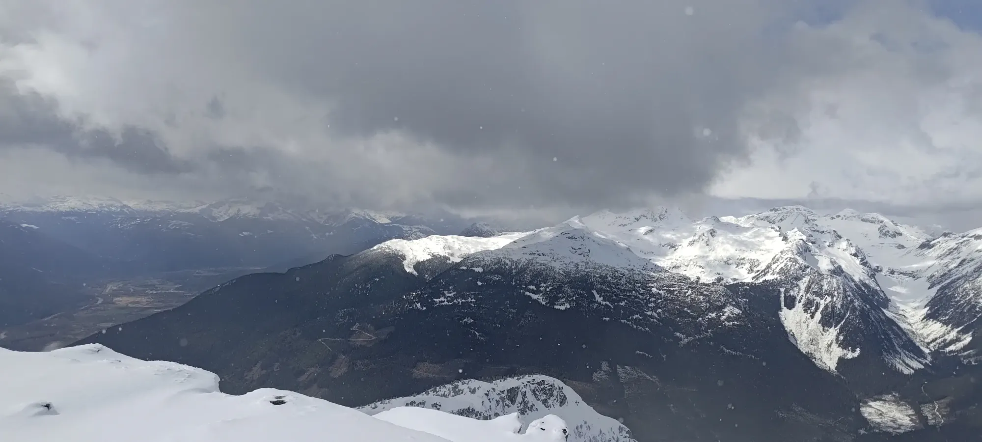
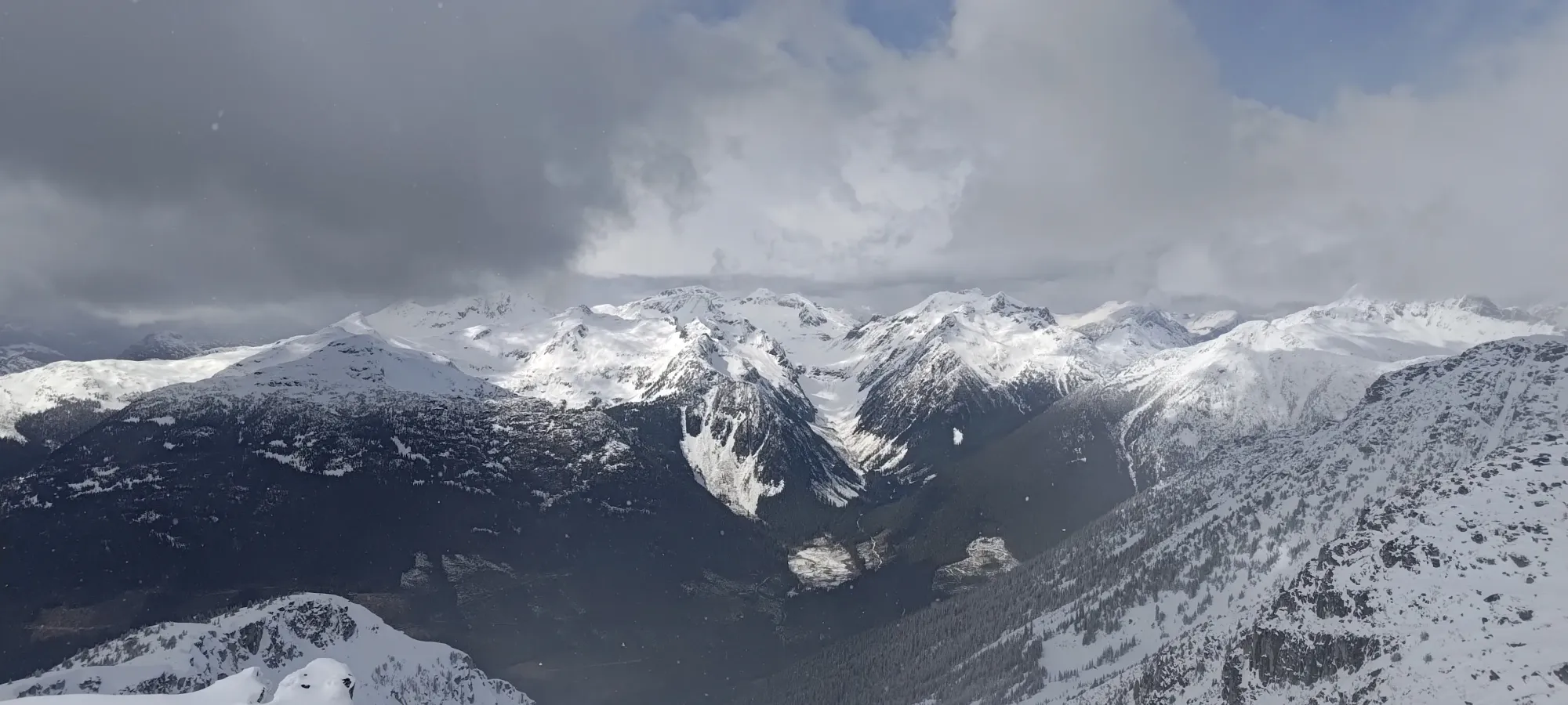
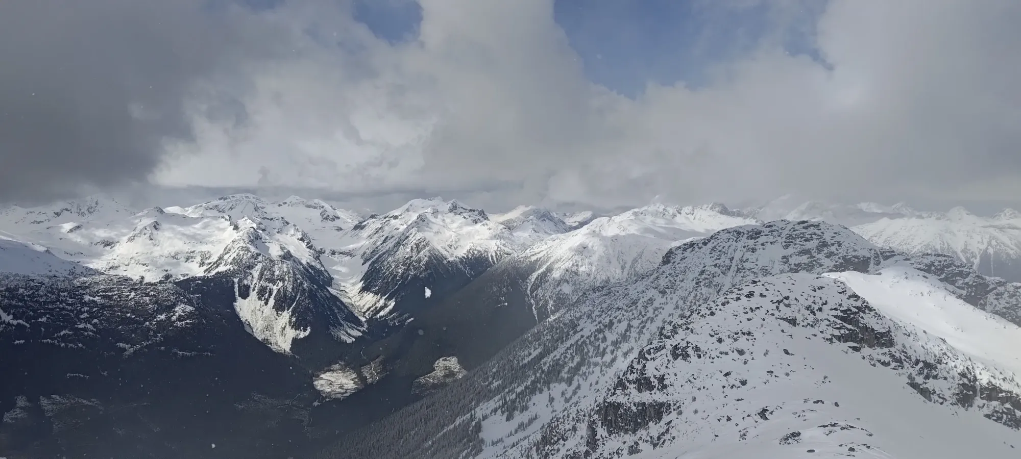
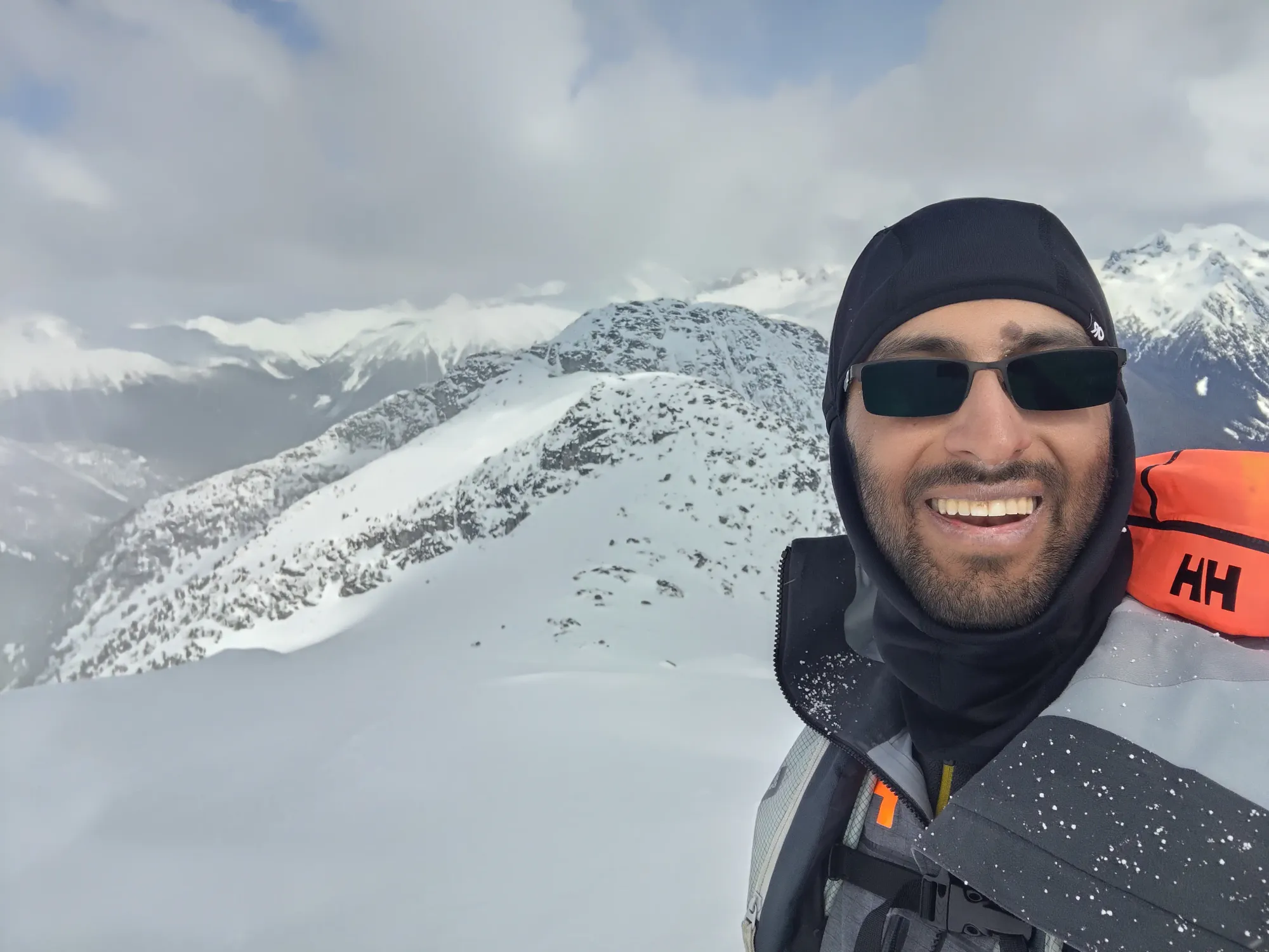
One benefit of the longer summit break was that I could wait for clouds to break a bit for better pictures.
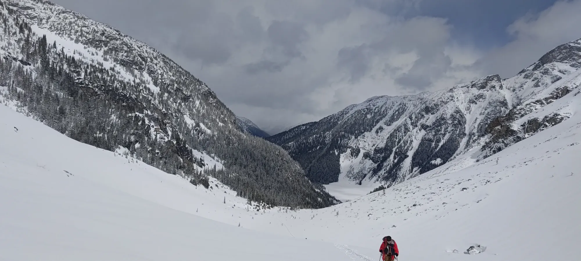
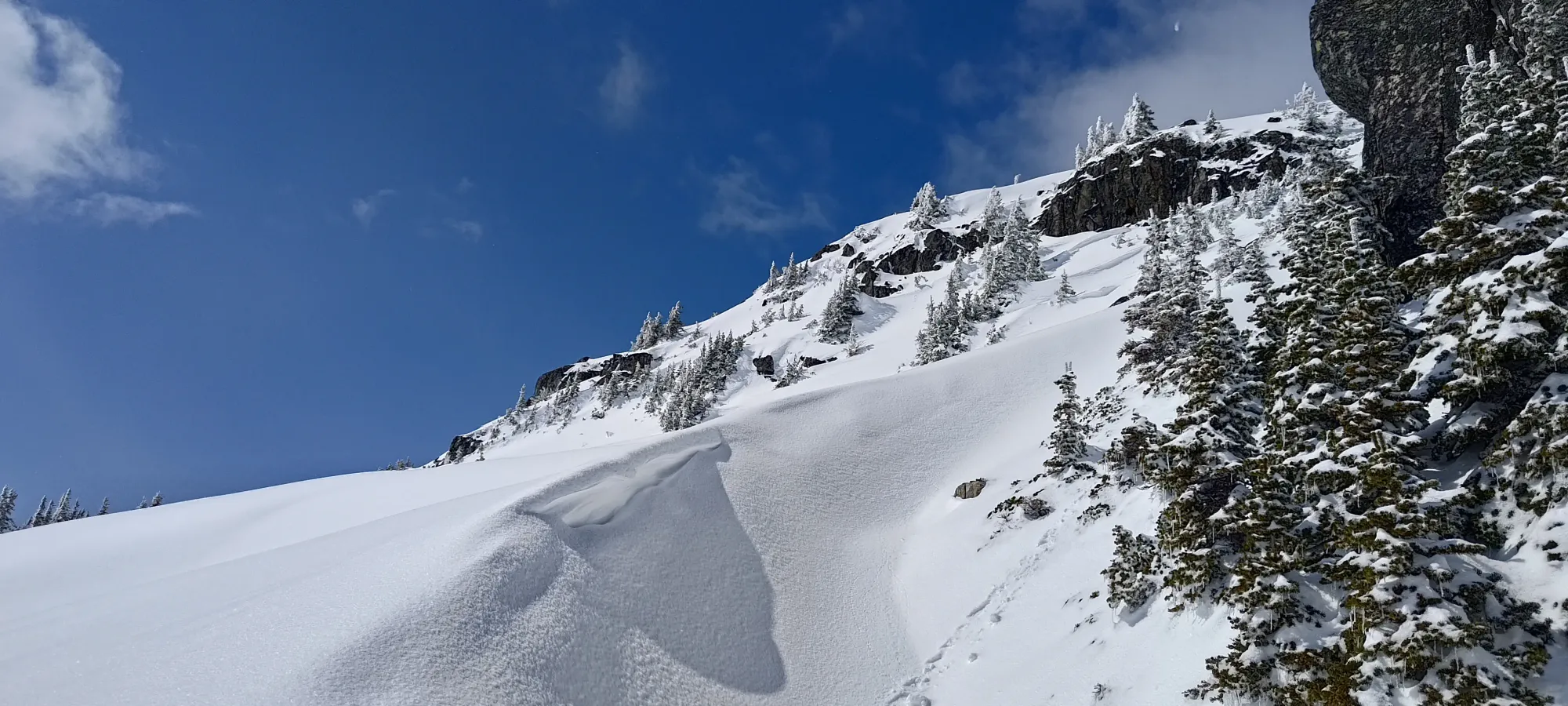
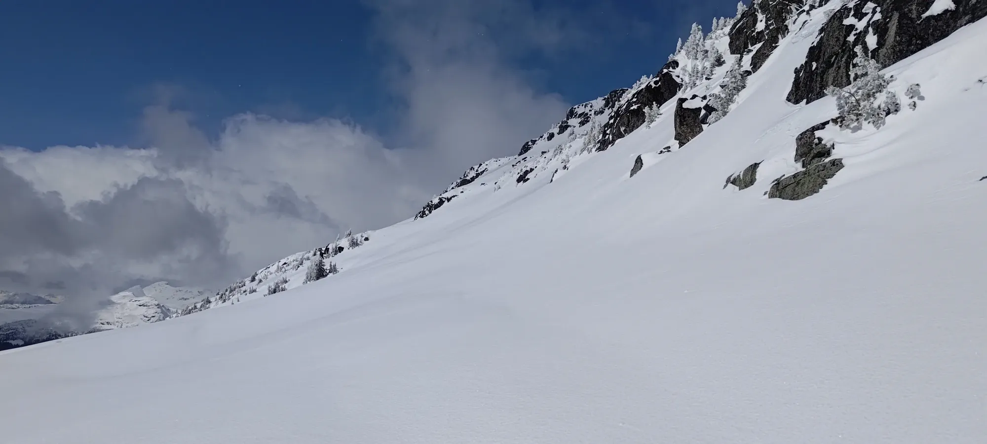
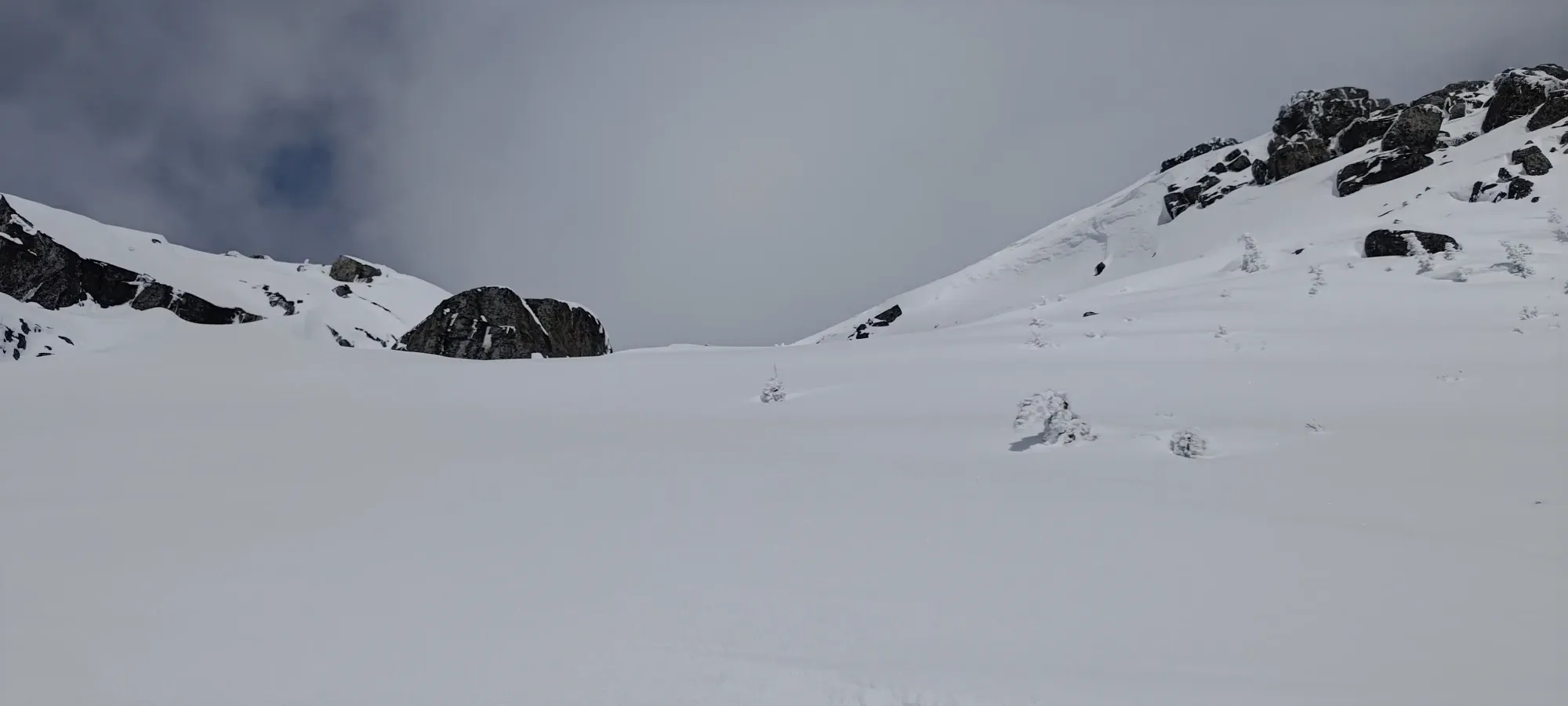
Once everyone was rested and transitioned, we got a little bit of visibility (clouds were in and out all day), so we started to pick our way down the north ridge, aiming for the line we scoped on the way up. The top of the ridge was still pretty low-vis, though, so it took some cautious turns and 5–6 minutes to move a whole 200m further north, where the terrain got more visible, and we had an easy beeline to our line from the open upper slopes.
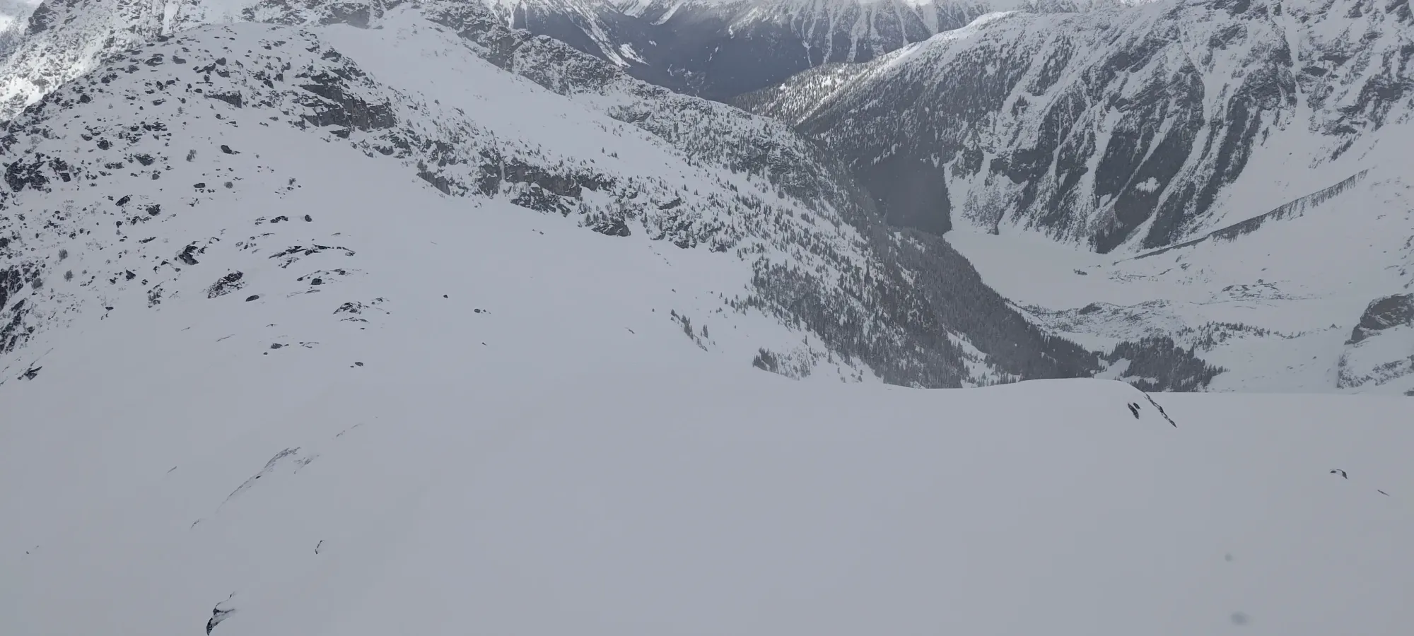
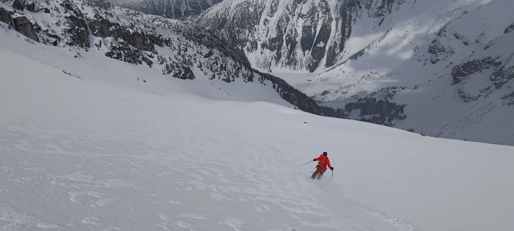
The snow in this upper section was actually awesome. Soft, smooth, and pretty glorious. It's a pity we had to go so sideways on it to get to our main line, but hey, it was still a pretty nice way to access it.
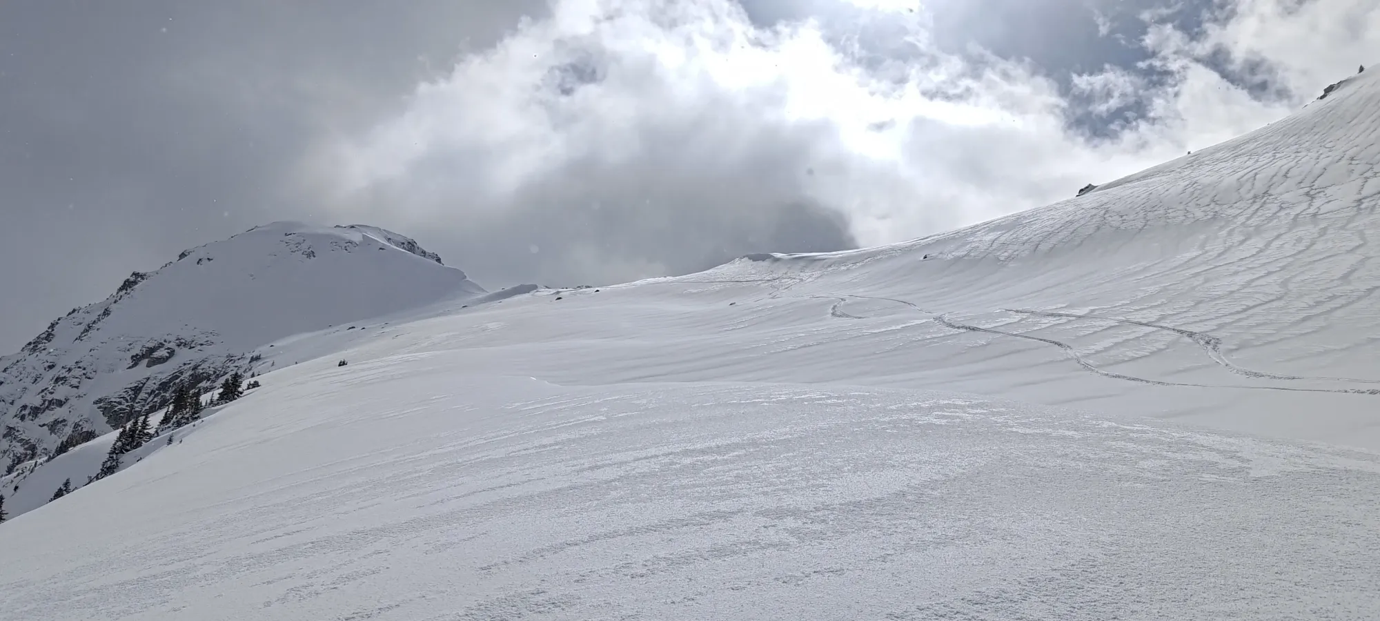
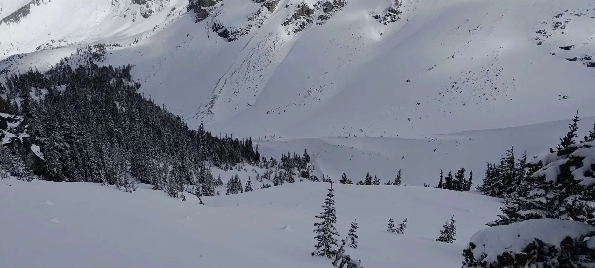
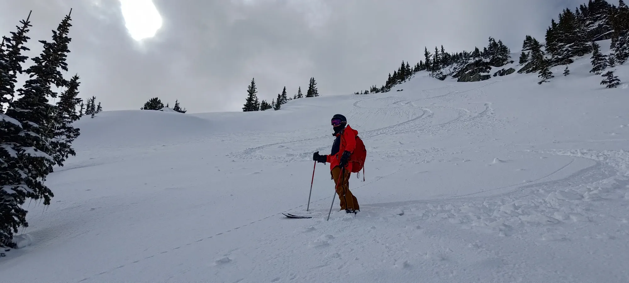
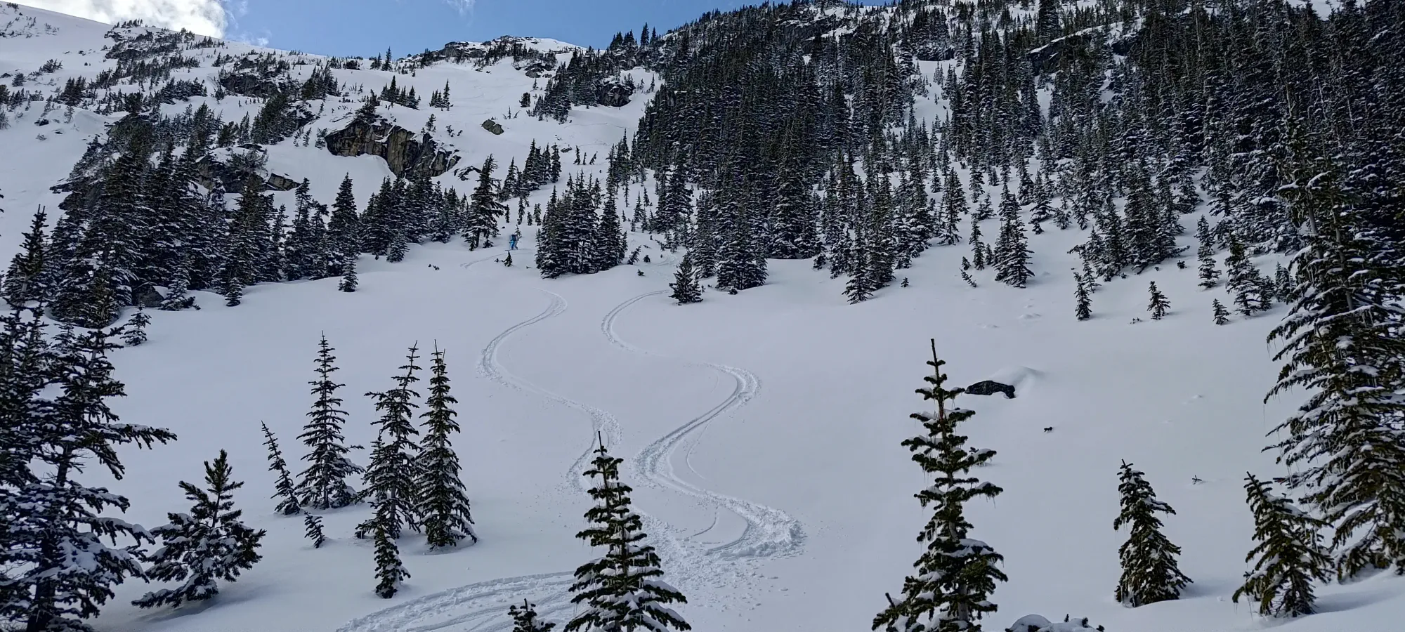
Some shots from the ski down
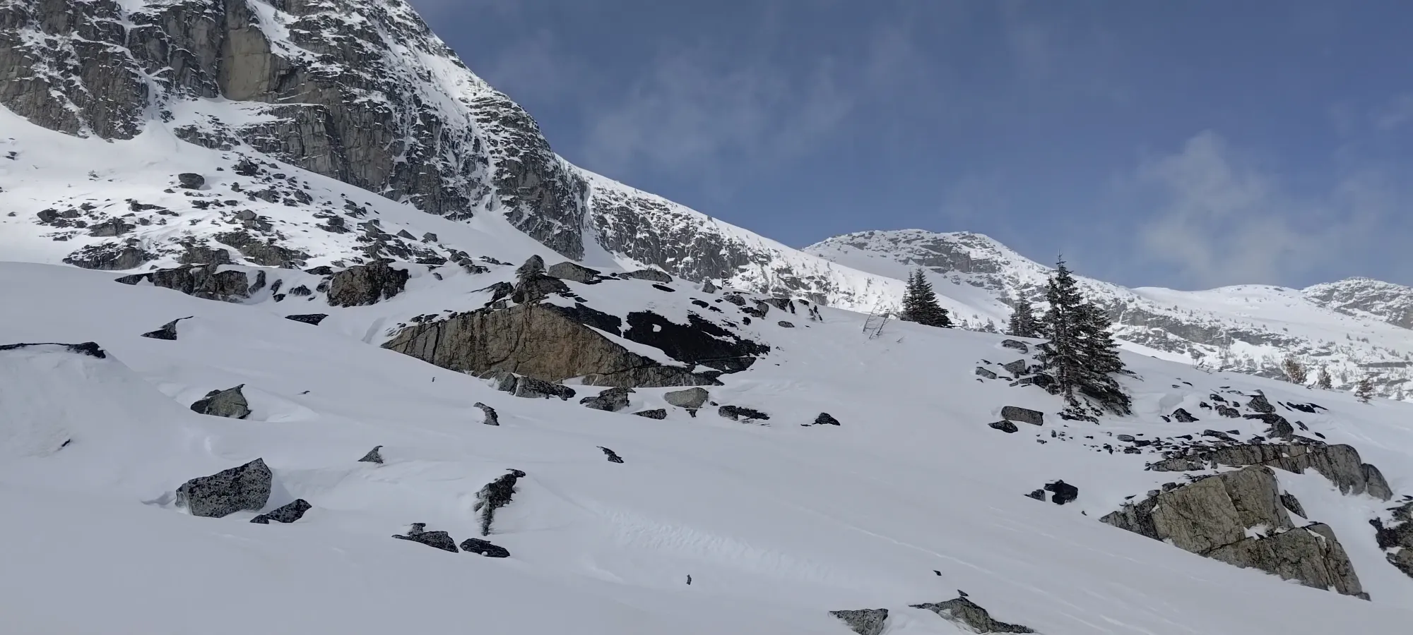
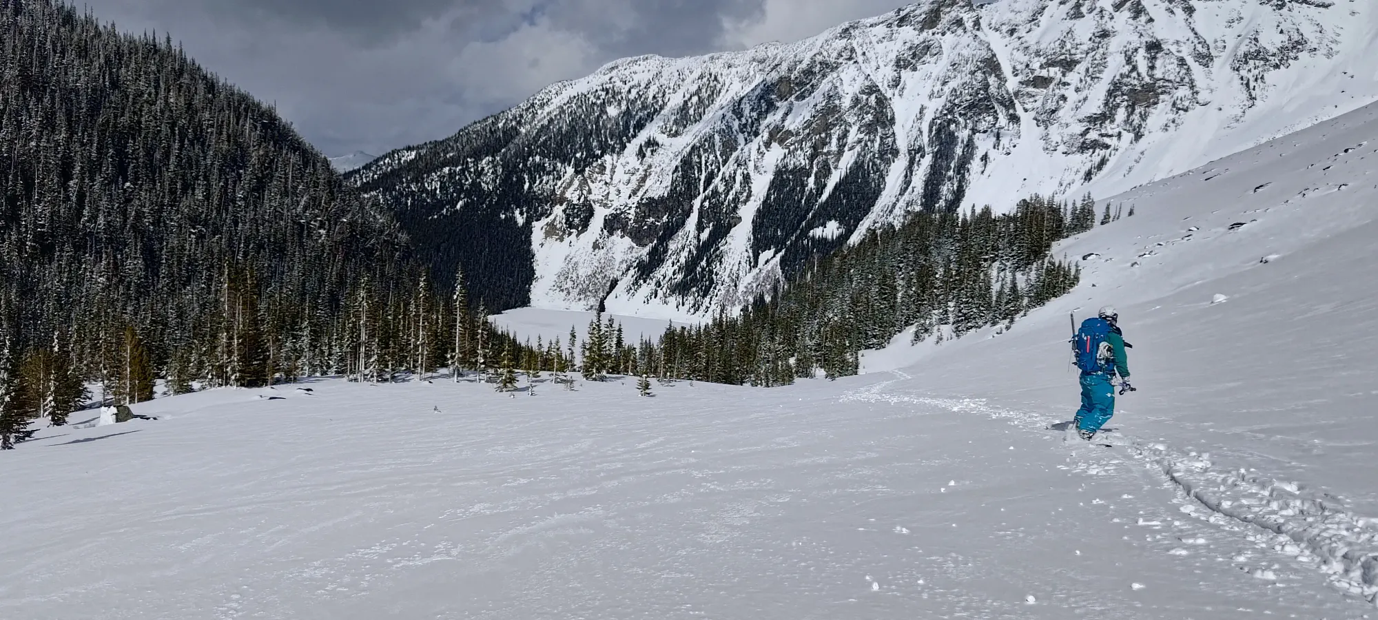
The snow below that point was a bit more variable, as the sun sadly got to work on it throughout the day and started forming a bit of a crust. It was far from the worst snow ever, though, and especially in the trees or slightly more western aspects, it still skied quite well.
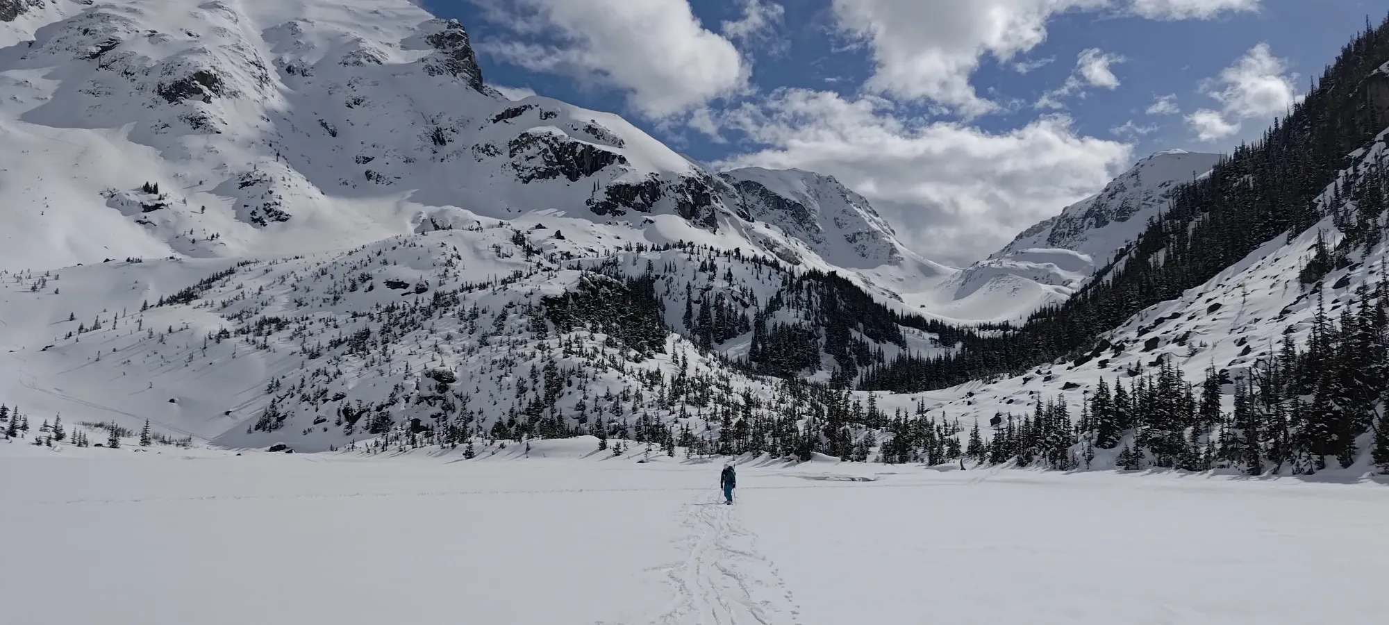
Once we got back into the valley, Tanveer (who isn't as fast of a skier/boarder, and also was planning to walk the trail down) told us to just go ahead, since we were out of the harder terrain, and now it was just a simple ski/walk back to the car. So, we finished the ski out to the lake, and started to shuffle across before we could resume skiing.
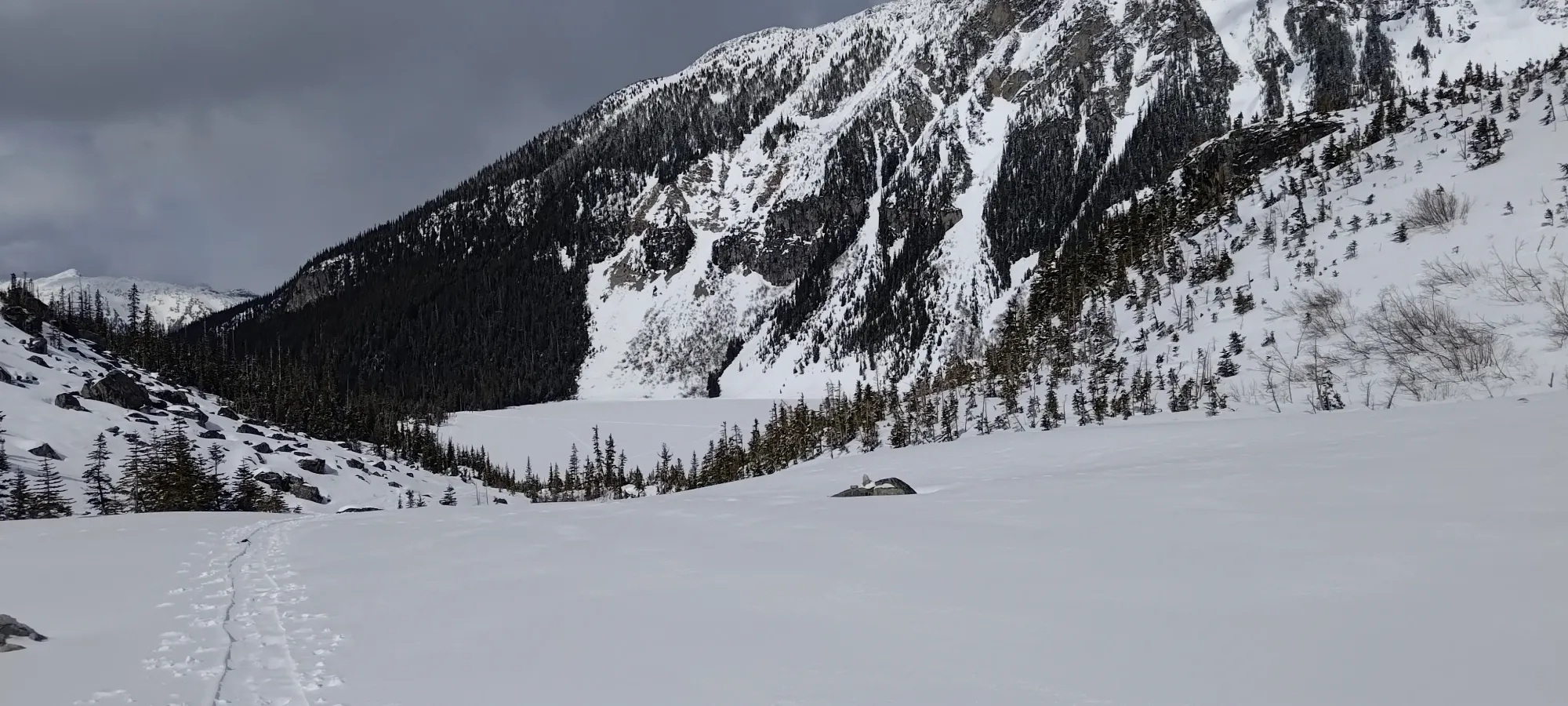
We spent about 5 minutes shuffling our way across (Nick got to learn the joy of being able to simply unlock your boots and slide across lakes without having to transition), then walked up the short hill before the third lake, and got back into ski mode to make our way to the second lake.
The trail skiing was firm but fairly efficient, though we had to dodge quite a few hikers 😅. A couple short minutes and we were beside the second lake. One can walk across the lake, shuffle along on the trail, or boot it to the far side, and all are equally valid options. On this occasion, we chose the second option, not trusting the smaller/lower lake in this warm weather, and being too lazy to transition. Once you get to the start of the lake, though, you have to remove your skis to get up the small hill before the next large downhill section.
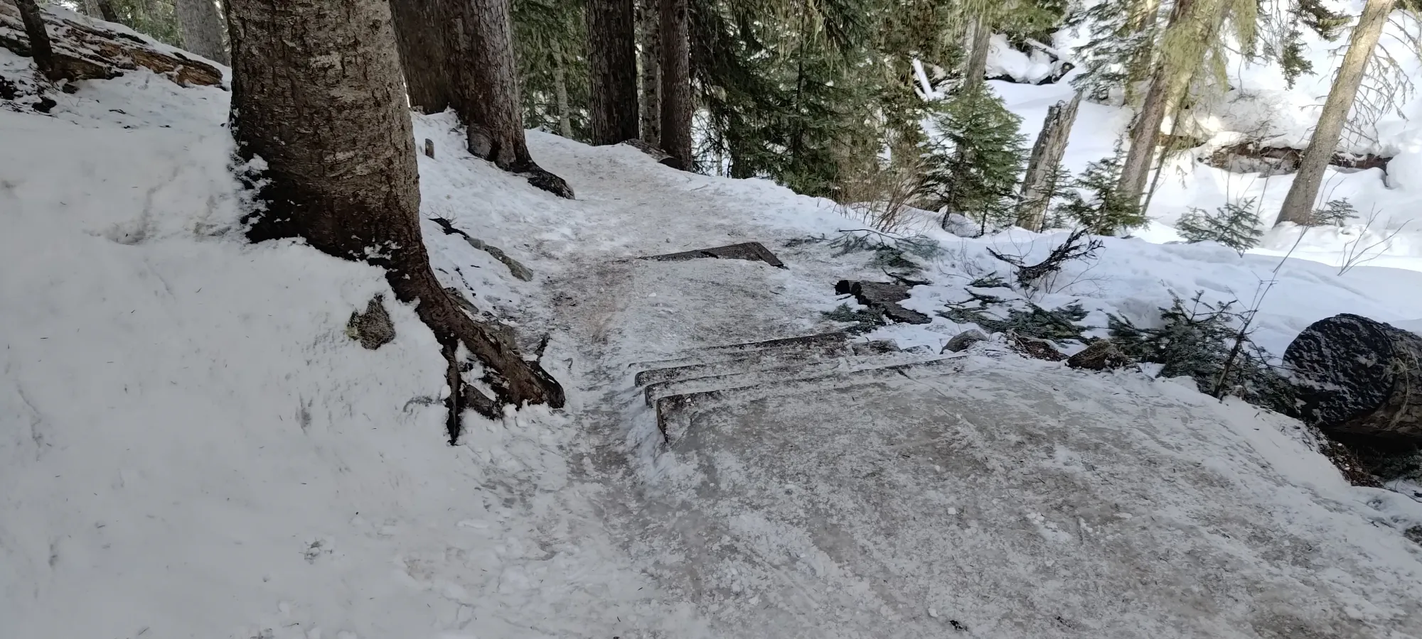
We got down until the iciest stair section, where we decided to call it and walk down. I thought we could get down further, but Nick liked his fancy powder skis too much to risk it on the thin trail, so we just booted it down from there. Without spikes or crampons, it's a bit of a spicy walk, to be honest, but since we at least had poles, we made it out okay 🙂
With the transition and spicy ice, it took about 40 minutes to get back to the car from the middle lake. There, we found a parking lot that was pretty much full of hikers who'd arrived later in the day, and were glad we got there early (plus, you know, we had a mountain to ski, so we couldn't really waltz in at 2pm). We geared down and waited for Tanveer to show up, and were thankful I made the investment in a couple folding stools for the trunk to chill in at trailheads while waiting (an investment I made after Cayoosh last year, which I skied with snowshoers, and had a long trailhead wait for as well). The weather was pretty good, at least, so we were fairly comfortable waiting around until he showed up, and then we had a nice and uneventful drive home, with plenty of daylight to spare.
I'm pretty happy with the day overall. If we woke up a bit earlier and/or moved a bit faster, we might've got some better snow, but it was still pretty good, and we got home with daylight to spare, which is a rare experience for me 😅. Especially since I broke trail the whole time, I was pretty happy with how well my body held up despite still not really being caught up on sleep, so that aspect of things was pretty great. Plus the routefinding went without a hitch, and we got up with skins on 99.9% of the time, and skied out on exactly the line we were aiming for. Now, since I knew that northern, shaded snow was good, and there were plenty of parties who'd broken trail to other peaks nearby, I had to formulate a plan for the following day...
GPX Track + Map