Mount Klaudt - December 3 2023
A short (but for us, quite painful due to the deep snow) snowshoe in the Sasquatch Mountain Resort area, which we linked with Cartmell Peak

Chehalis, Chehalis, BC
1402m
We bagged this peak as the second peak after Cartmell Peak, and the trip report picks up from where we forked off of our descent tracks on that peak, so check there for the context up to that point.
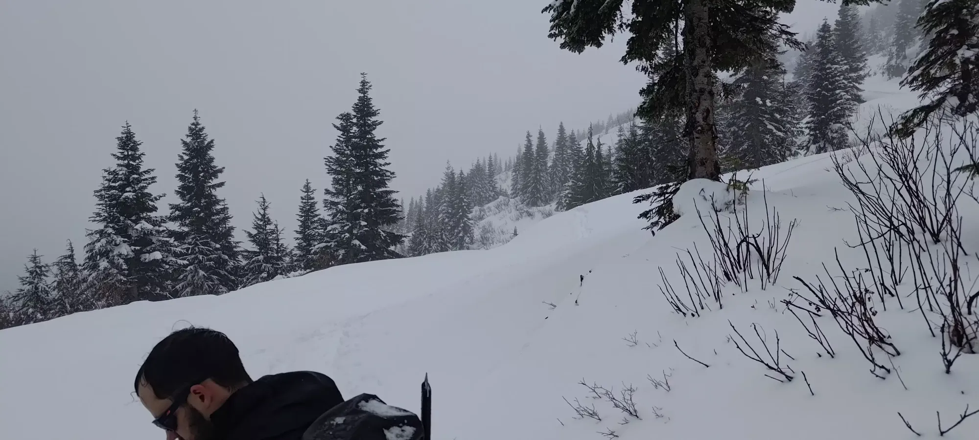
We forked off of our uptracks at 12:20pm, just above 1300m, where the "official" trail for Cartmell descends towards the Brett Creek FSR. The section that goes down the slopes towards the road was quite fast, taking only 20 minutes even in fresh snow due to the steeper slope, but once on the road, while it initially gave us some relief due to being "easy" terrain in normal circumstances, we actually realised our mistake: the road was too flat, and in the deep snow, that was actually a detriment.
That section of road was at least not too long, and we got to the 1200m junction where our old tracks went the long way up at 12:40pm, where we unfortunately once again had to deviate, and follow a spur road down to Brett Creek FSR at 1100m.

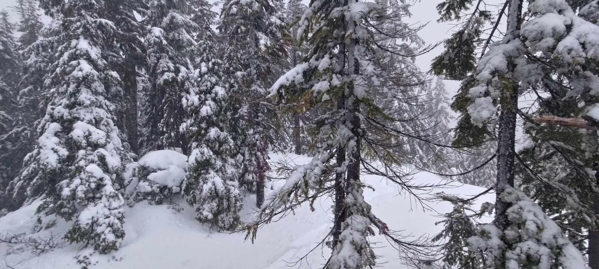
The descent down the spur road wasn't too bad since it was at least "a descent", but somehow I managed to get my trail-breaking rotation to start just as we got onto the Brett Creek FSR itself, which was rather unpleasant. It had started to warm enough that the precipitation was now rain, the snow was getting wetter+heavier, and we even saw some pinwheeling coming off of the small slopes beside the road. I got about halfway down this 700m, flat stretch before swapping out, it was really brutal. There is also a random wind tunnel in the first half here, which was extra unpleasant.
The FSR section took just over 20 minutes, and we finally got to our decision point at about 1:20pm. At this fork, we could go up to the peak, or give up and just descend. We had about 300m (net) to gain, and a few hours before sundown, so we decided to go for it. I was starting to feel it at this point for sure (not having eaten or drank anything since about 5am was a tall order for my body, apparently), but I knew I'd be able to make it, if not by cutting back my trail-breaking. I felt that Michal and I had done a little more to this point than Logan, so it felt only fair to let the balance swing back the other way (well it gave Michal the short end of the stick, but he's young and spry, and also refuses to bring backpacks so he had less weight to haul around 🤪).
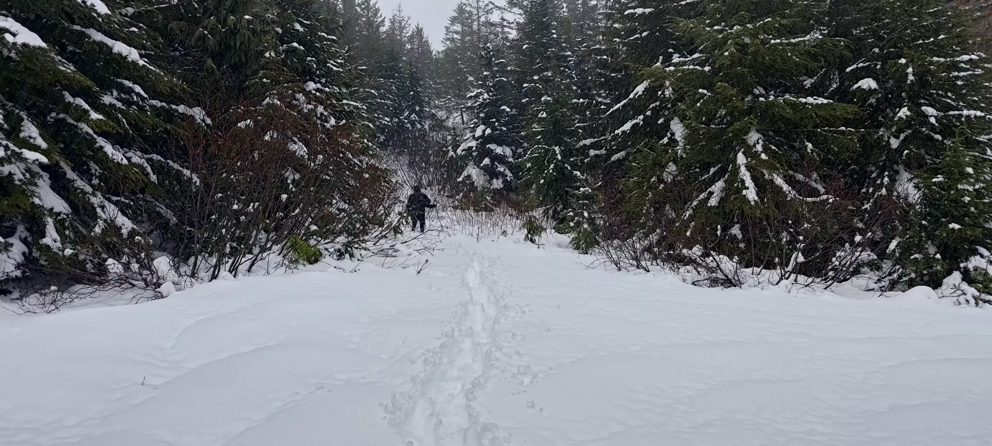
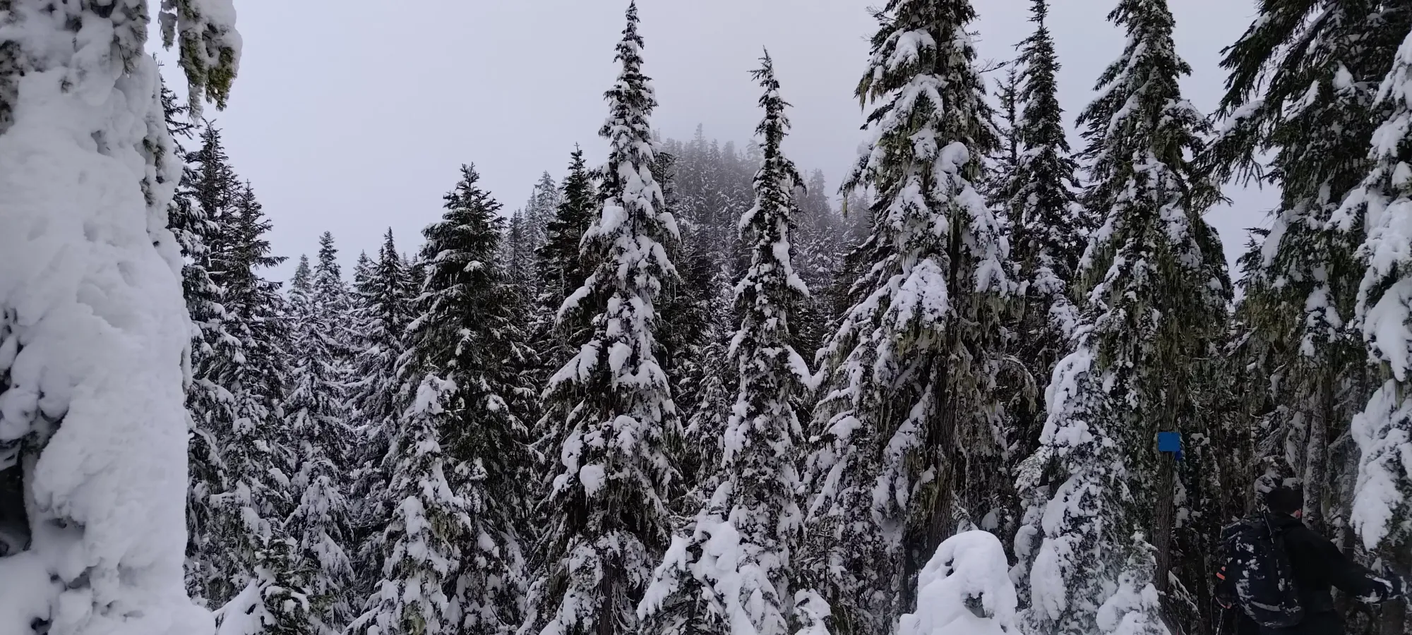
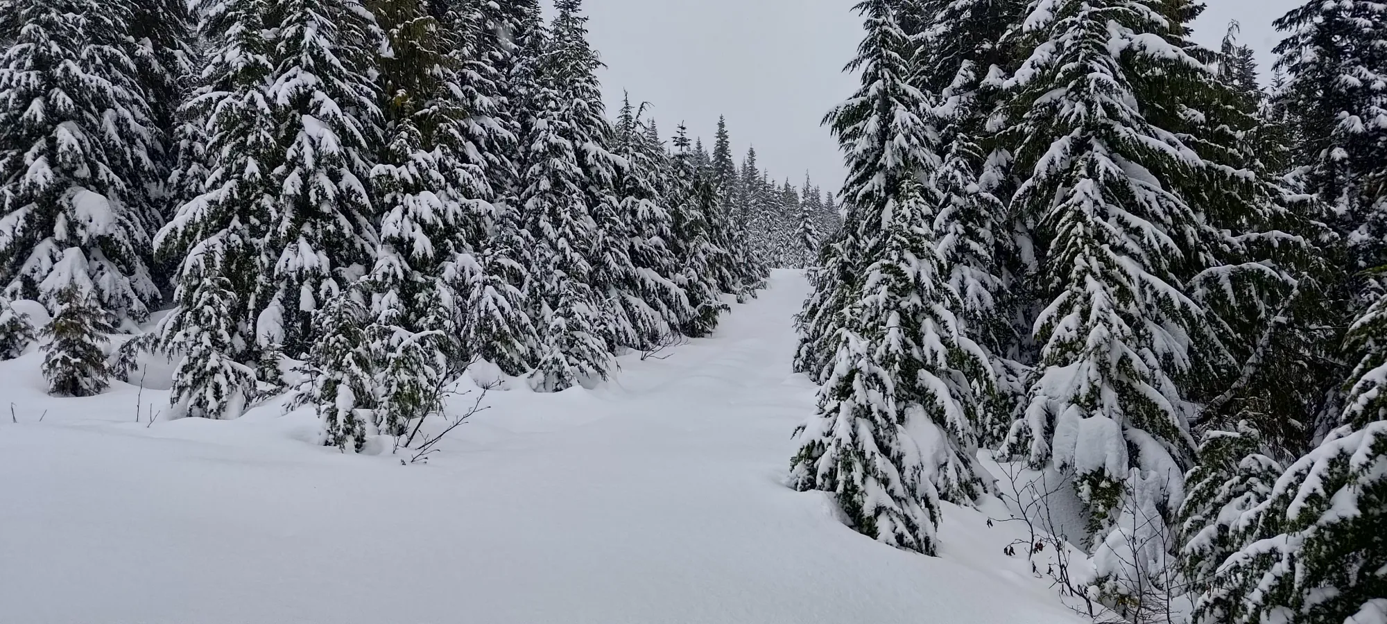
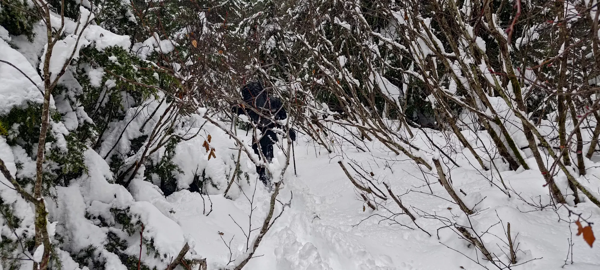
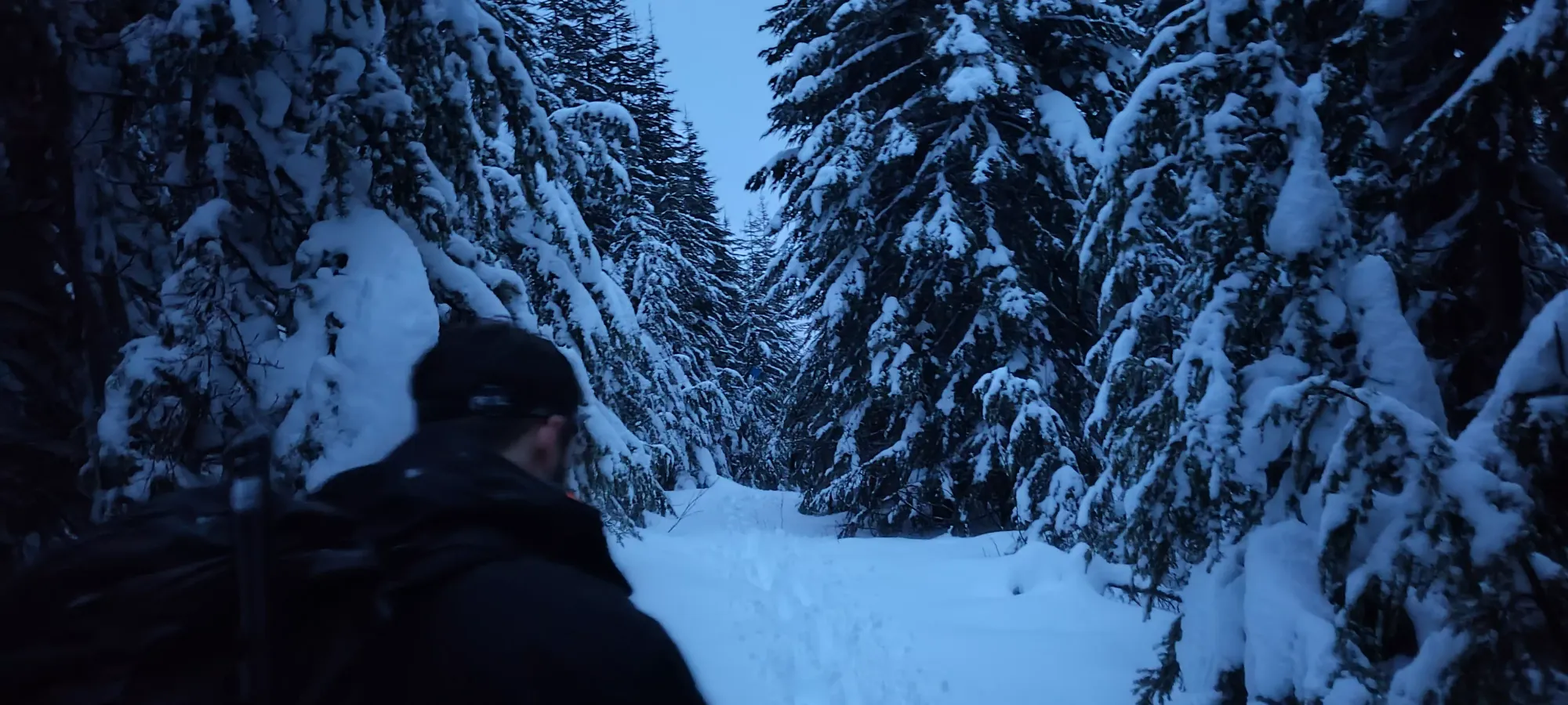
The trail from this point is supposedly a spur road, and at some point, it probably was. Now, though, it is fairly overgrown, and one has to watch for branches poking them in all sorts of places in the lower section before things calm down a bit.
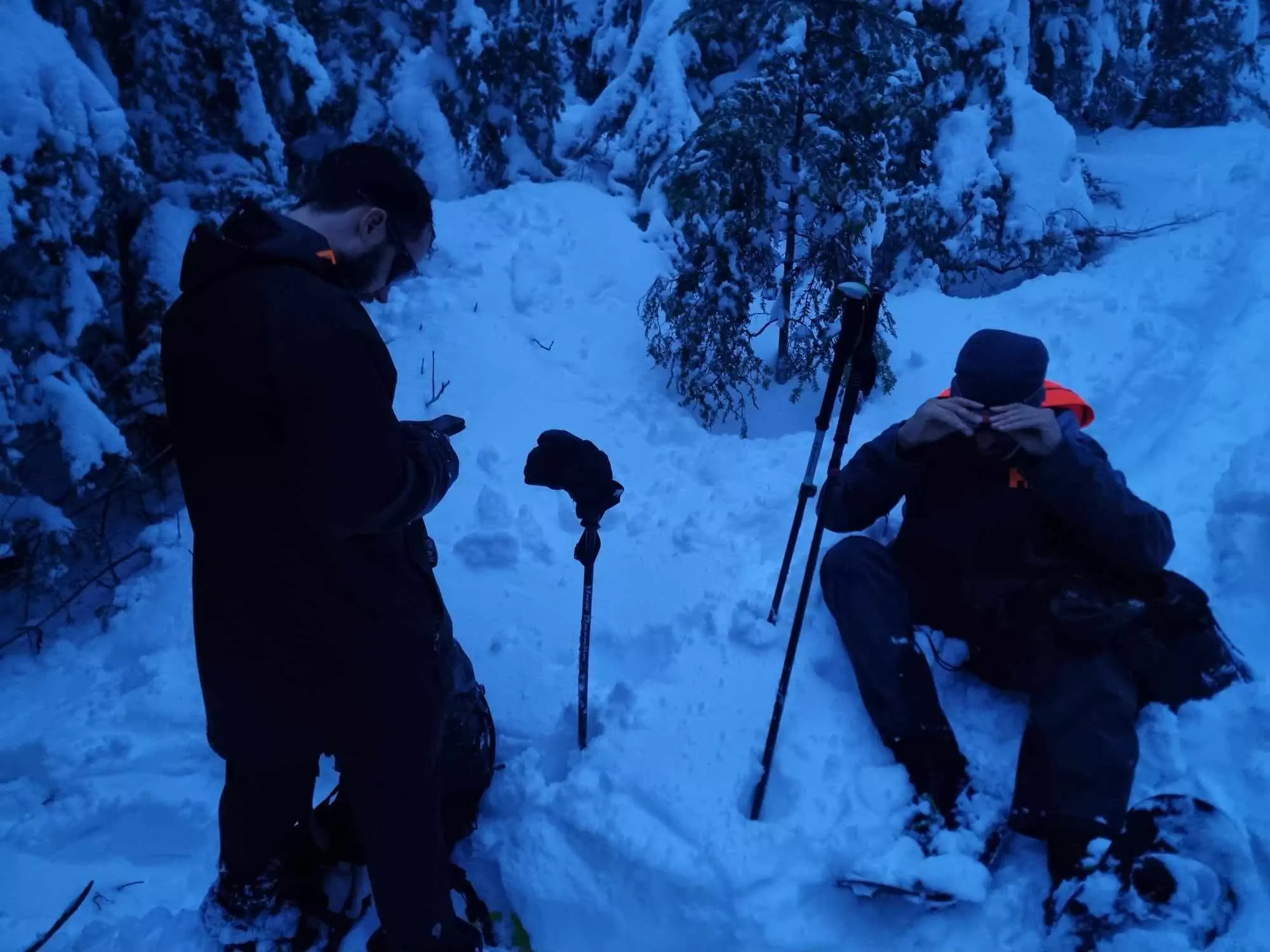
I followed the guys breaking trail for about 50m of elevation before I realised that I was slowing down too much, and called for a break in a relatively treed area to minimize how much we'd get rained on. I took about 15 minutes to rest, eat my peanut butter sandwich, and have a couple sips of water. The wetness was also getting to me, so I tossed my fleece on and swapped my shoulder season gloves for my big mitten outers, and that made me far less cold and miserable, so once Logan and I started catching up to Michal, who went ahead since he didn't have the layers to endure a still break for too long, I was feeling much stronger and happier.
Once we got to the point where our track dipped off into the forest, we realised that Michal had gone beyond that point along the road, which continued. We called him and got him to come back, though he was insistent that his way would connect, even though we didn't have any trails on our maps to corroborate that theory. It turns out he was right, and that the resort built the trail out to take a somewhat circuitous route from 1200-1270m, but we wouldn't confirm that until much later.
Instead, we followed a semi-open area in the trees until it got dense on all sides, considered turning around (but Michal raised our spirits enough to push through), then after maybe 10–15 seconds of actual bushwhacking, emerged into a fairly sparse area which seemed a bit steep, but overall quite navigable.

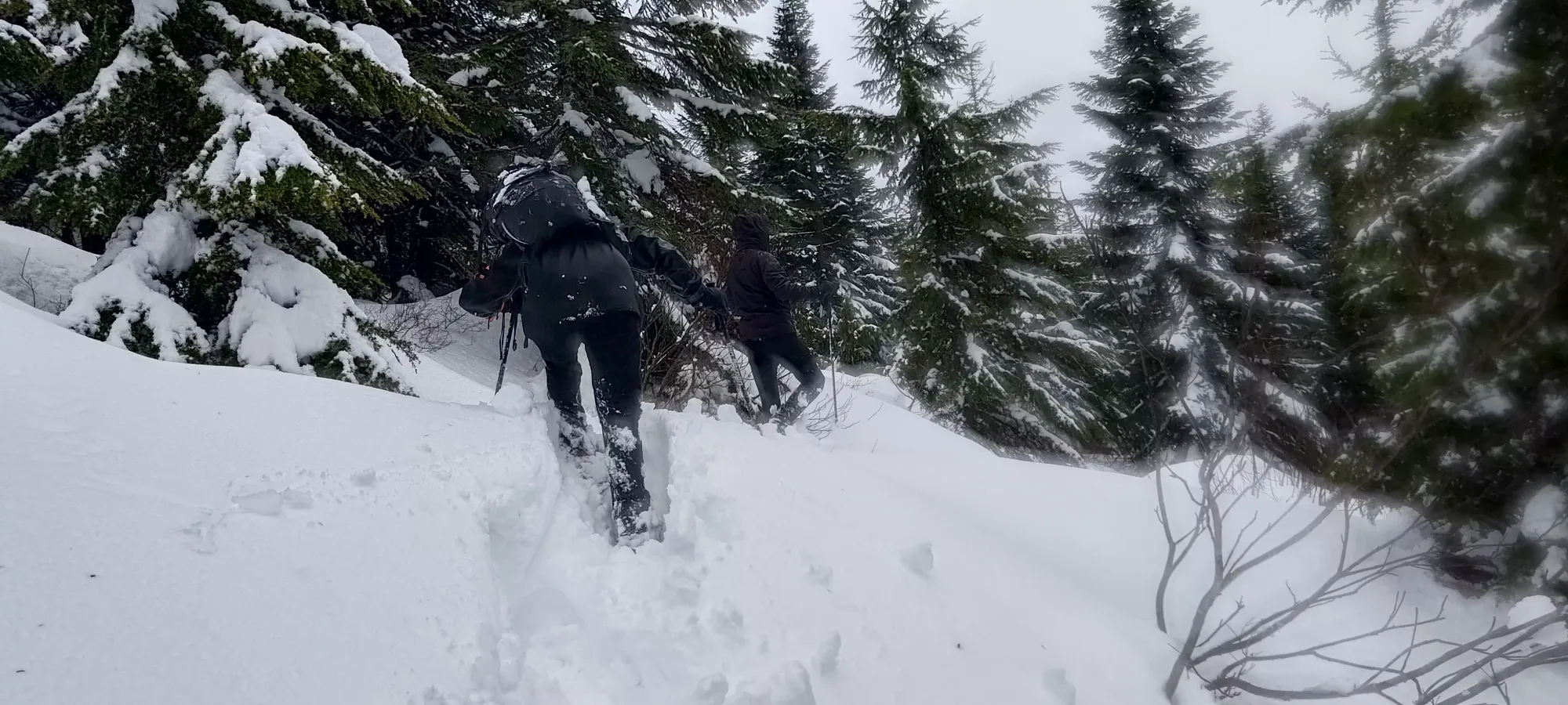
Michal led this steep section with the aid of my navigation on the maps to keep us "at least near" the track we had downloaded, and we made efficient work of it, gaining 70m in about 25 minutes, which was good for the horrid snow of the day.

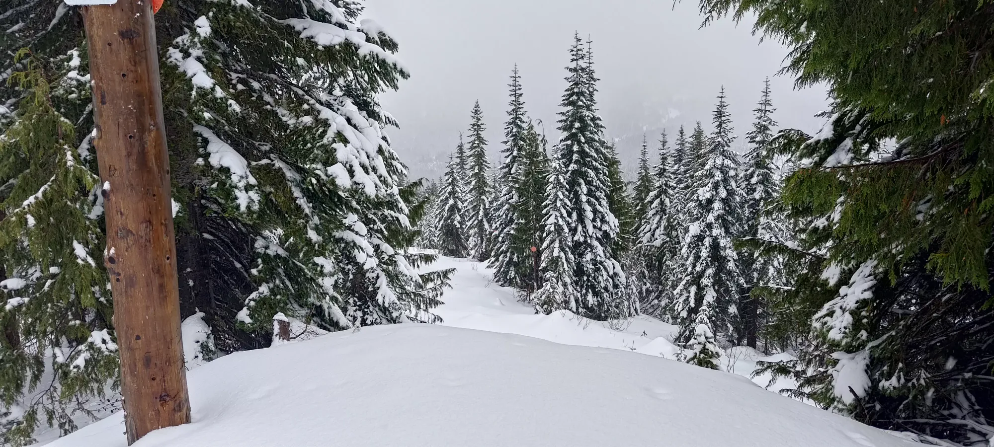
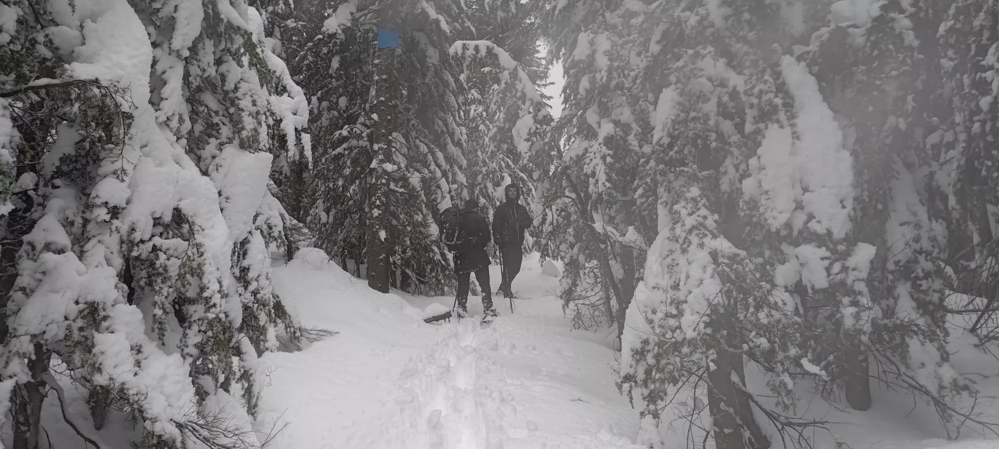
Just after quarter to three, we rejoined the official trail, which seemed to have come from a bit further south below us, which was a welcome change to having to constantly map-check to stay on-track. Here, Logan and I took trail-breaking duties for a while while Michal rested from his big bash up the shortcut.

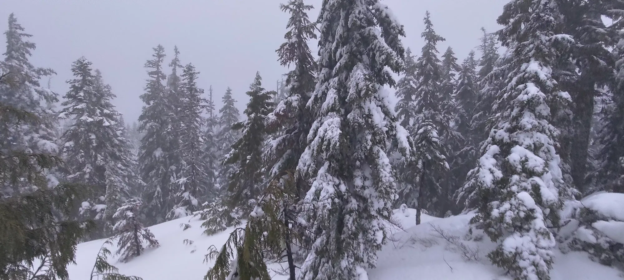
We continued along this way until we got to 1350m or so, where we realised that this was going to be a rather tedious ridge slog to the summit, as we started hitting a lot of false summits/bumps, but were still 600m away from the top of the trail, but only 50m of elevation below it. This 600m took about 25 minutes, with a bunch of tedious ups and downs, some of them being quite steep. Michal went into beast mode on this section and broke the whole way, but it was still pretty annoying even just to follow.

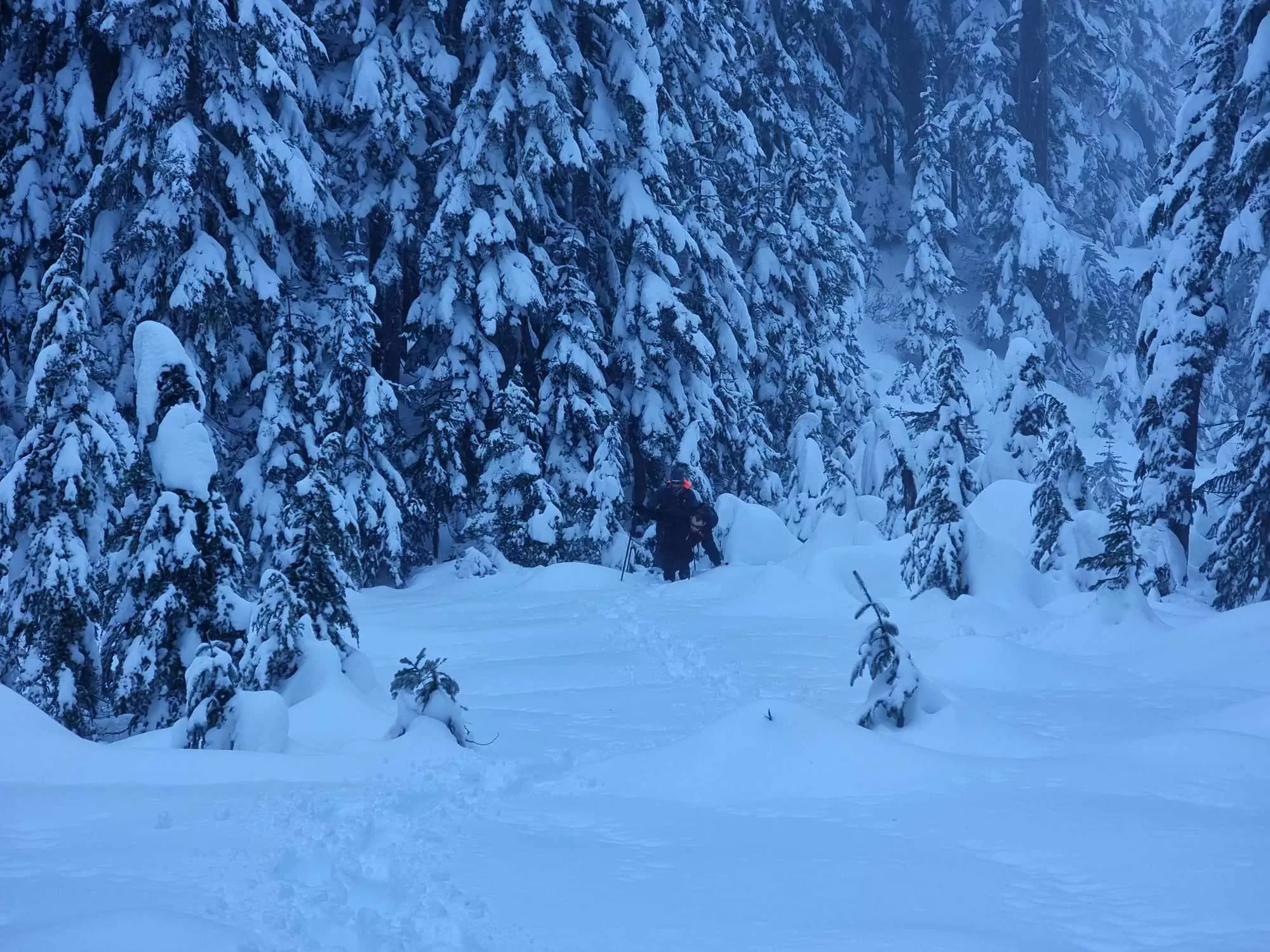
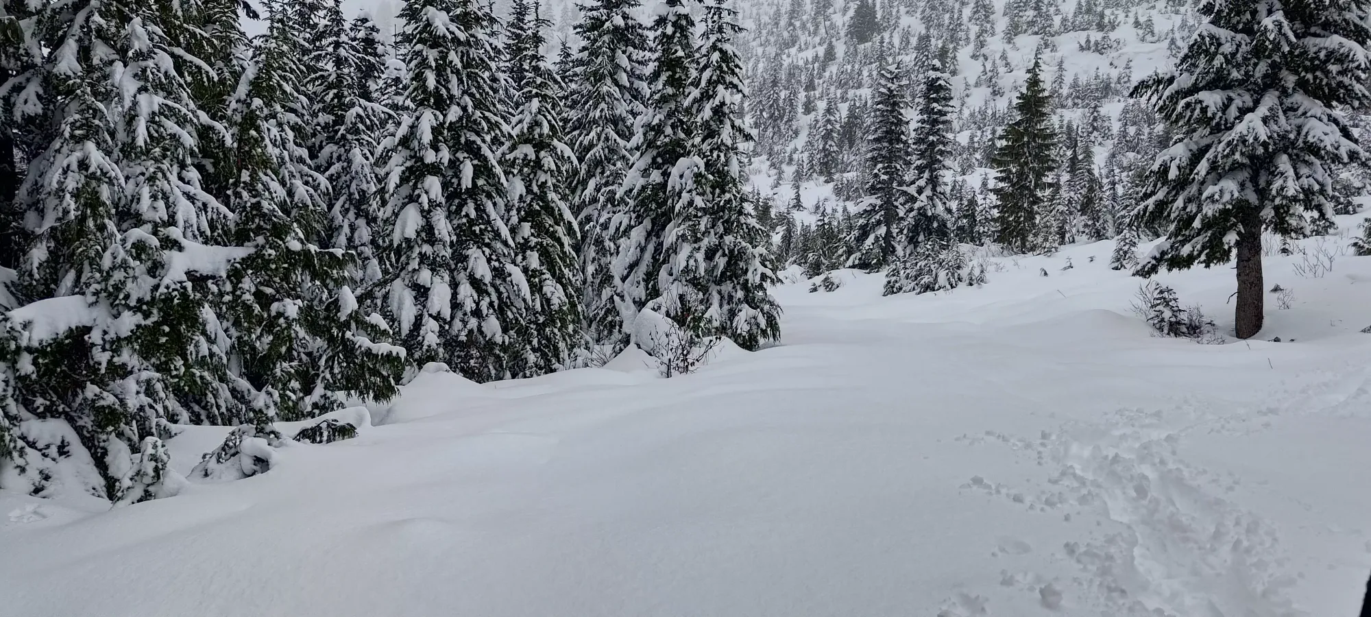
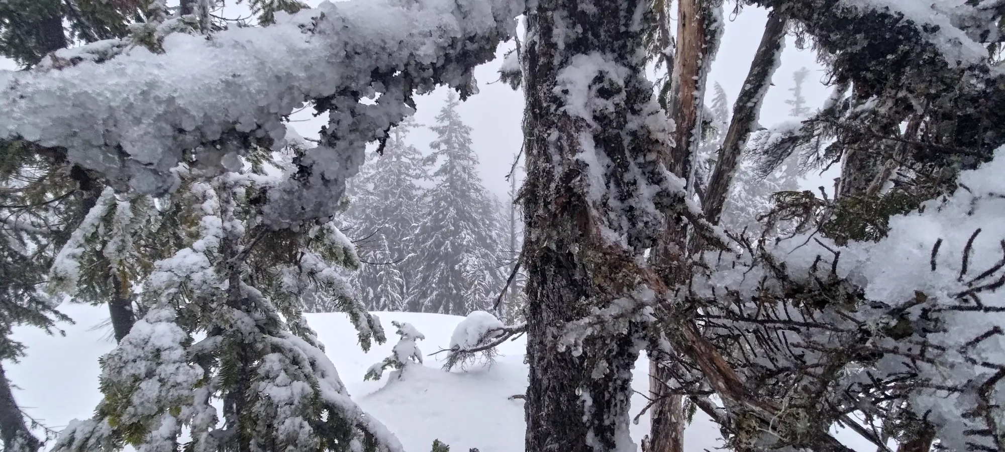
Once we got to the top, it was again a fairly uninteresting, forested bump with no views (though that's probably once again a side effect of the cloud cover). It was, at least, finally not raining or snowing, which was nice. We spent less than 5 minutes on top, though, since we had a race against the clock to get down as far as we could before sundown (we knew we'd have some dark hiking, but why increase the quantity of it).

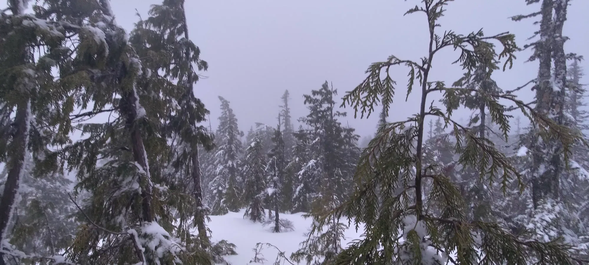

We were barely faster on the return than the way up along the ridge, and made it to the "finally consistently downhill" section in about 25 minutes. The tracks made it easier on the uphill and flat sections, but actually harder on the steep downhill slopes, since they didn't offer much traction, especially with the wet snow balling up under our snowshoes (something that occurred throughout the day to make the walking even harder than usual). From there, it wasn't too much work to get down to where we had joined the main trail from our shortcut on the way up, where we took a small 10-minute break, and confirmed that we would follow the official trail back, since it would avoid the annoying steep slopes we'd ascended, and seemed wide enough to be easy navigation, even if it got dark on us.
The trail was indeed easy to follow, and took about 20 minutes before we rejoined the road that we'd already walked, which was a welcome change, as on the flatter terrain near the bottom of this section, trail-breaking was again a meaningful task. Even though it was nearly 5pm, we still didn't need headlamps, though we turned them on shortly thereafter just to get better visibility of the snow we were walking on.
From there, it was 15-20 minutes down to the spot we forked off of the Brett Creek FSR to get onto the deactivated road, and then a tedious ~20 minutes down to the big switchback on the road just above 1000m, where we decided to try and cut across to the parking instead of descending the road down to 940m then walking up the main road to the parking lot.
This was fairly successful, I think, since the alternative would've been about 1.6km and 65m of elevation gain, half of which would be trail-breaking on forest road (which gets more snow than covered forest, and would therefore be more tedious). It took us about 20 minutes to get across, much of it spent referencing maps to ensure we stayed roughly on-course. We had to cross a small creek at one point, though it was easy enough for all 3 of us to stay dry doing so. At the end, we came across a sled track going along a somewhat open bit of terrain below a steep slope that led up to the road. We considered following it, but had no idea where it went, so instead we just bashed up the slope to the road, which was a bit tough since it had lower snow cover, and we lost traction on our snowshoes once or twice. Once we popped onto the road, though, we were basically right across from the car, which was a very welcome sight indeed!

Getting de-geared and getting into the car without soaking everything inside was a bit of a challenge, but we managed somewhat successfully thanks to my recent purchasing of some random vinyl floor mats and stapling them to the back of my rear seats, and we got to drive down and grab dinner before everything closed, which was quite nice (a perk of winter peakbagging, sunset is so early most restaurants are actually still open when you're done).
Overall, despite the snow being ridiculously deep+heavy, and the weather being snow or rain with maybe an hour of dryness, I'd say it was a pretty great day. Breaking trail for nearly 9 hours is pretty brutal, but rewarding. Plus, it brought me to 98 peaks for the year (as long as you agree with all the peaks listed on peakbagger as "real"), giving me some good buffer to hit my goal of 100 before the end of the year! I'd definitely recommend coming out here right before or after the resort closes (so you don't have to pay for access). Plus, if you go when there's a broken trail, you can link up the peaks on the west side of the resort too!
GPX Track + Map
