Cartmell Peak - December 3 2023
A short (but for us, quite painful due to the deep snow) snowshoe in the Sasquatch Mountain Resort area

Chehalis, Chehalis, BC
1436m
With a large dumping of snow starting Friday night and going on-and-off through the first half of the following week, this was going to be quite an interesting weekend. I decided to take Saturday as a proper powder day skiing, which was a good decision with avy conditions being "quite spicy" and 20+cm falling inbounds, leading to a fun day. It wasn't quite as intense as usual, since I was only able to ski about half the day before my injuries starting acting up too much to ski well (guess they hit differently than hiking/skinning, so that's something I'll have to work on). It was, however, still tons of fun; I got to ski some nice powder, I got to go down more than I went up, I got to ski with a good friend, and I only hit a few rocks 🙂.
However, with great fun comes great suffering, so for Sunday, with the avy conditions too spicy for most backcountry skiing, and a lot of my recent peaks being in the Sea to Sky, I should "give back" to my friends and do something out east, and to add to the suffering, I figured it was snowshoe time. While the Friday/Saturday snow was down to pretty low elevations, starting Sunday the freezing level was going to shoot above 2000m, and there was going to be rain soaking into the snowpack, so given the resultant risk+snow quality, I decided to just embrace the suffering. I selected the area around Sasquatch Mountain Resort since they aren't open yet, but the road should still be cleared up to 1000m, and Logan+Michal decided to join me for the slog.
After a lovely 4:45am wake-up, I drove down to the city to pick them up, and we headed out east. The rain was fairly heavy in Squamish at the start of the day, but got a bit less intense as we started moving east, and near Mission, it even stopped for a bit. However, as we got closer to Chehalis, it started back up, and eventually even turned to snow on the road up. Speaking of the road, there's some communal distaste for the "chains-required" rule on the road, and we did encounter a flashing sign at the start of the unpaved section saying chains were required beyond, but it was also still just a dirt/gravel road, so I decided to interpret that as a suggestion, as it was a bit unclear as to whether or not that was a legally enforceable requirement. After a minute or two we did hit snow on the road, but it was excellently plowed, so I felt no need to stop and put the chains on, and nobody chastised me for it. Keep in mind I have actual snow tires and fairly extensive snow-driving experience, so follow this pattern at your own risk. We drove up to the highest parking lot, and I parked myself on the downslope of the lot's entrance since it was totally unplowed, and in case it snowed even more (I was able to drive in the single set of tracks that went in), I didn't want to get stuck, so that way gravity was on my side. Again, nobody got mad at us since they didn't want to try clearing the lot that day, but YMMV.
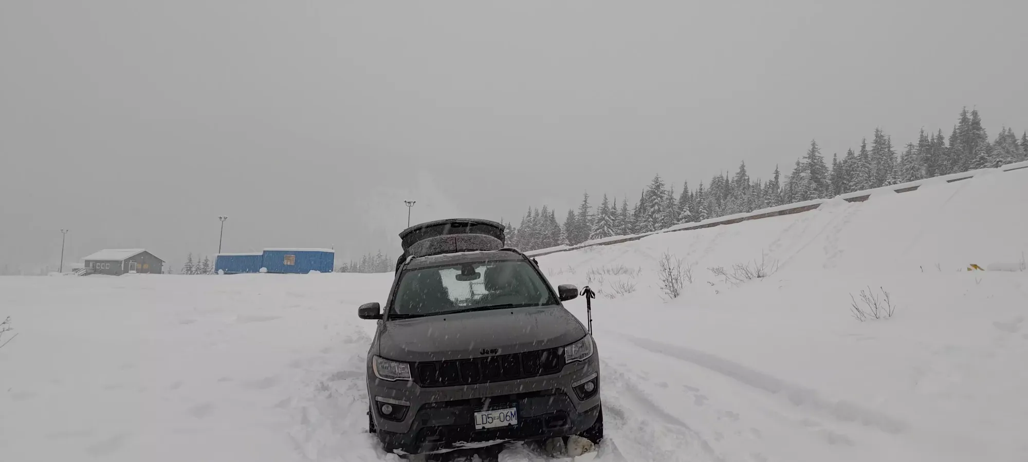
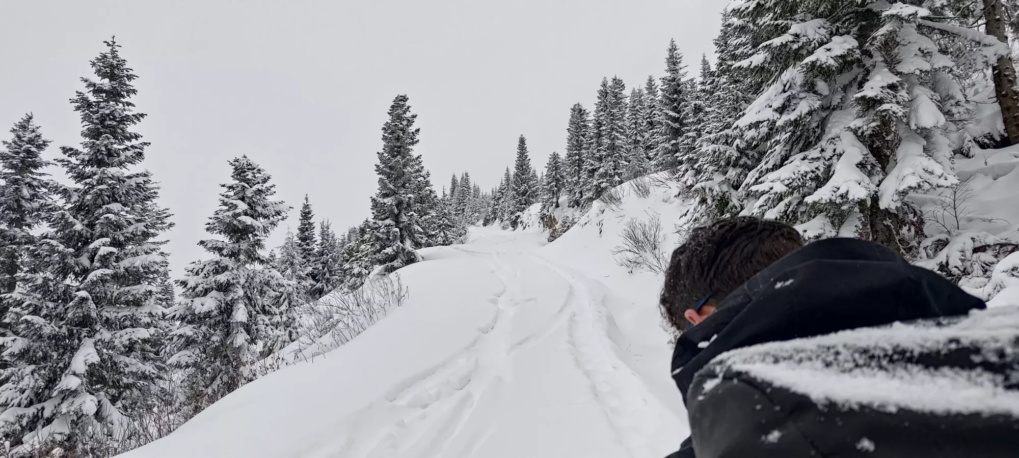
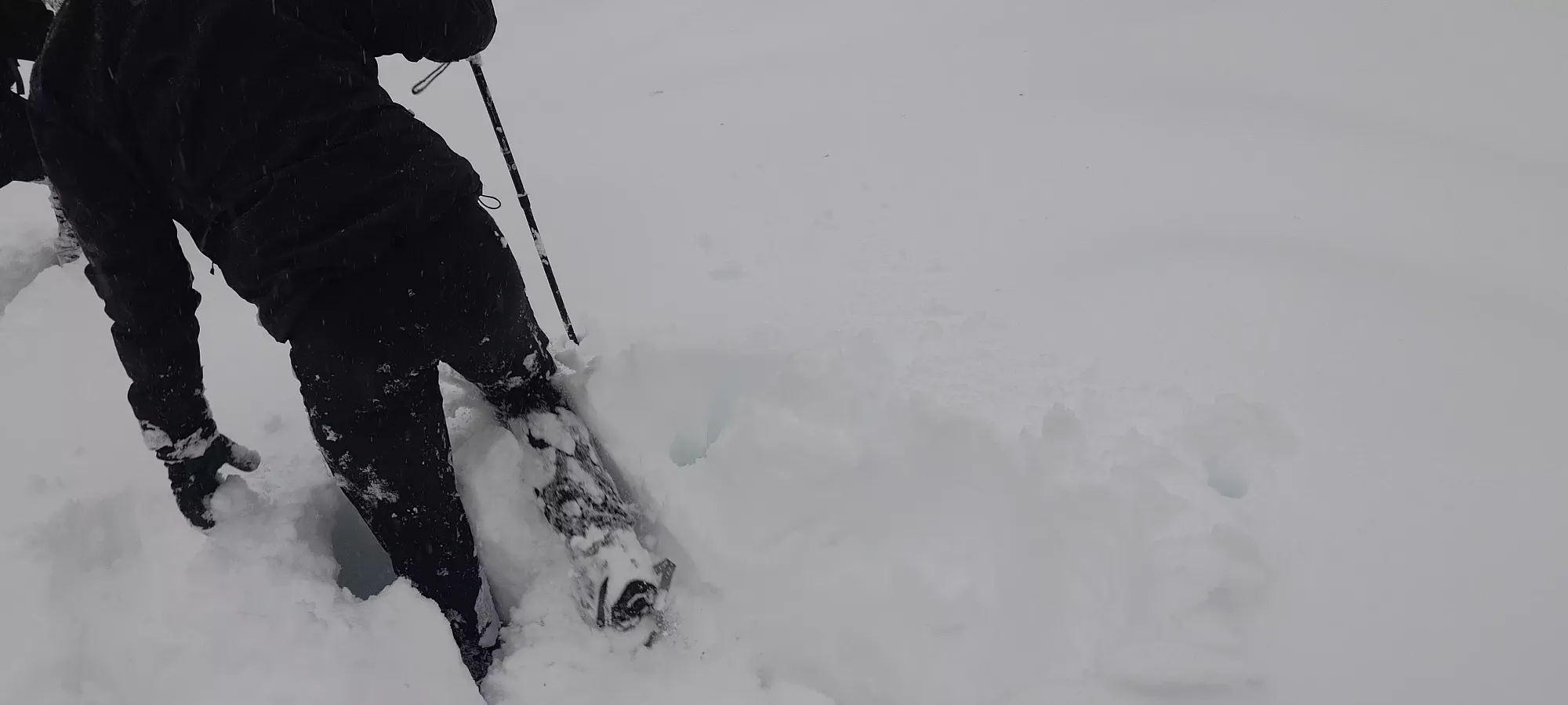
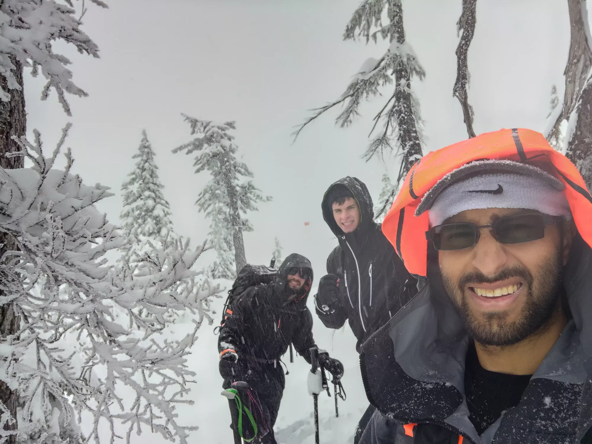
Once we geared up (snowshoes on at the car, there was over a foot of new snow), we started moving at basically 9:00am on the dot. We quickly made our way to the blue building seen in the background of the picture above, where we found a worker who thankfully did not seem perturbed by our parking choice or general presence. Shortly thereafter, a group of about a dozen snowshoers came to join him, seemingly on some kind of tour. Sadly, their tracks were unhelpful, and we could only follow them for a few seconds.
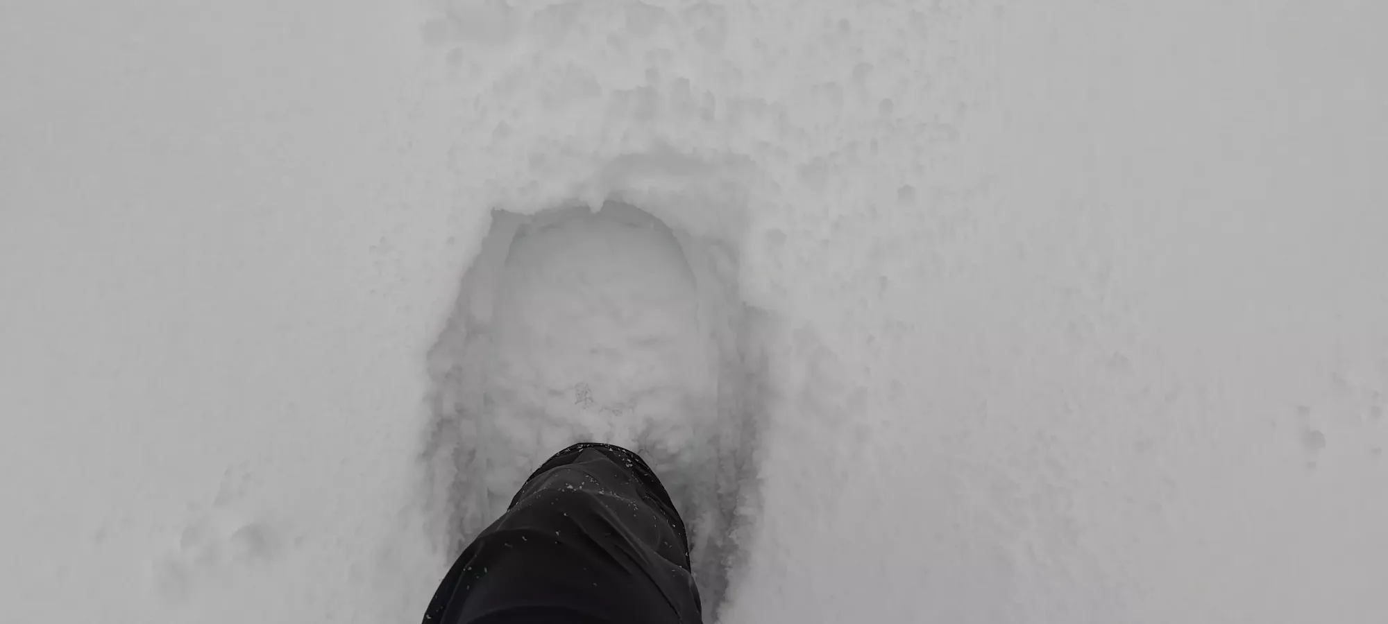
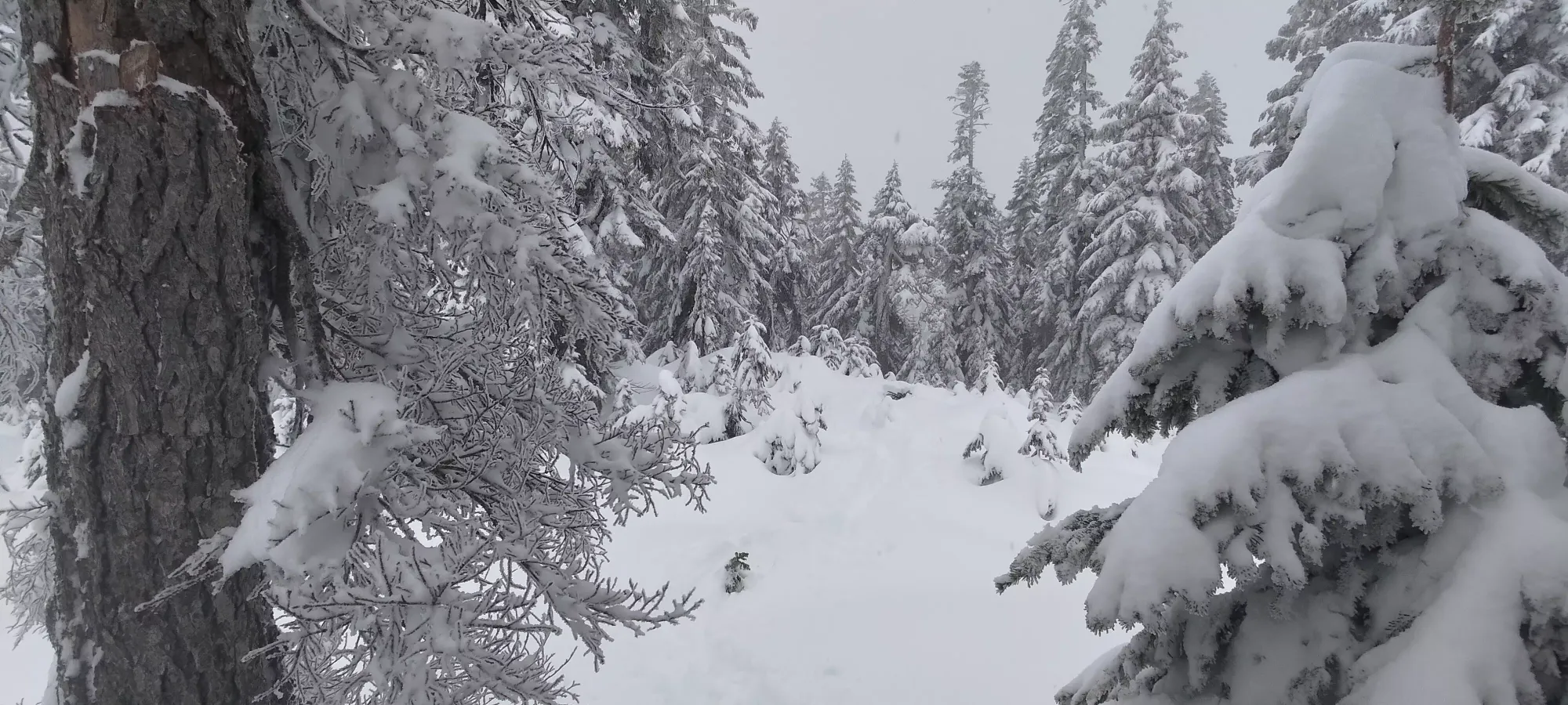
After a few hundred metres of exhausting trail-breaking, I brought us off of the random road we were walking on and onto the "East View Road" ski run, where we were delighted to find some old skin tracks, only slightly snowed-over since the previous day. This was a great relief, as the brutal snow conditions (deep and fairly heavy) were not the best way to start a day we were hoping would include multiple summits.
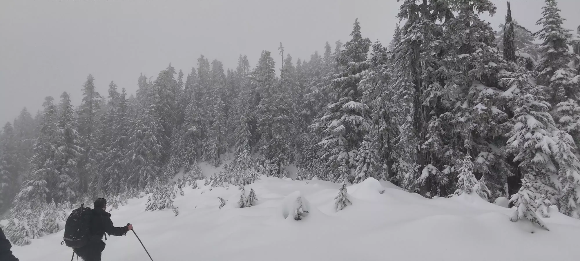
Things went well in the skin track until about 1245m or so, where the skin track disappeared, and we had to start breaking trail ourselves. The going was pretty damn slow in the heavy stuff, and we slogged up, rotating lead fairly often up to the top of the chairlift at 1300m, where we started forking off to climber's right on the bootpack trail towards the "Baby Bowl" (though we didn't know this at the time, we were just following the road for the sake of a skin track, then connecting the summit ridge to the snowshoe GPX we'd downloaded from previous peakbaggers). Getting just to this point took an hour, which I guess isn't the worst pace (300m elevation in an hour), but for the beginning of the day it felt pretty slow.

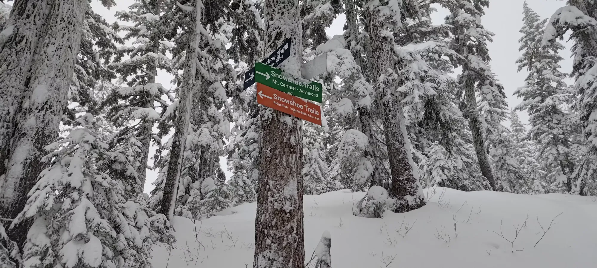
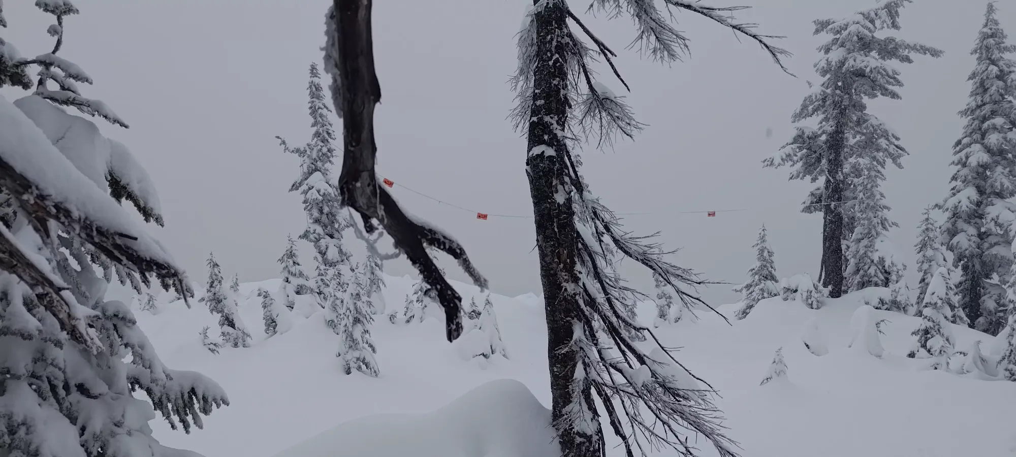
After about 10-15 minutes of walking along the ridge on a fairly wide trail, we managed to find some signage indicating this was actually an official trail for snowshoers after all, and in fact it should go all the way to the top! This was also where we re-combined with our GPX, which seemed to have taken the official trail from the bottom.
Once we picked the official Cartmell trail up, it was just a matter of "slog your way to the top" and "try to pick the least deep/most supportive snow possible". Not much of note happened until about 5km in, where the maps showed a closed contour on the ridge we were roughly following. Michal decided to follow some pink flagging that went off the main marked trail (as well as our mapped route), which ended up leading to nowhere), so I'd recommend avoiding this detour, unless it perhaps is a viewpoint, and you have good weather (which we did not).
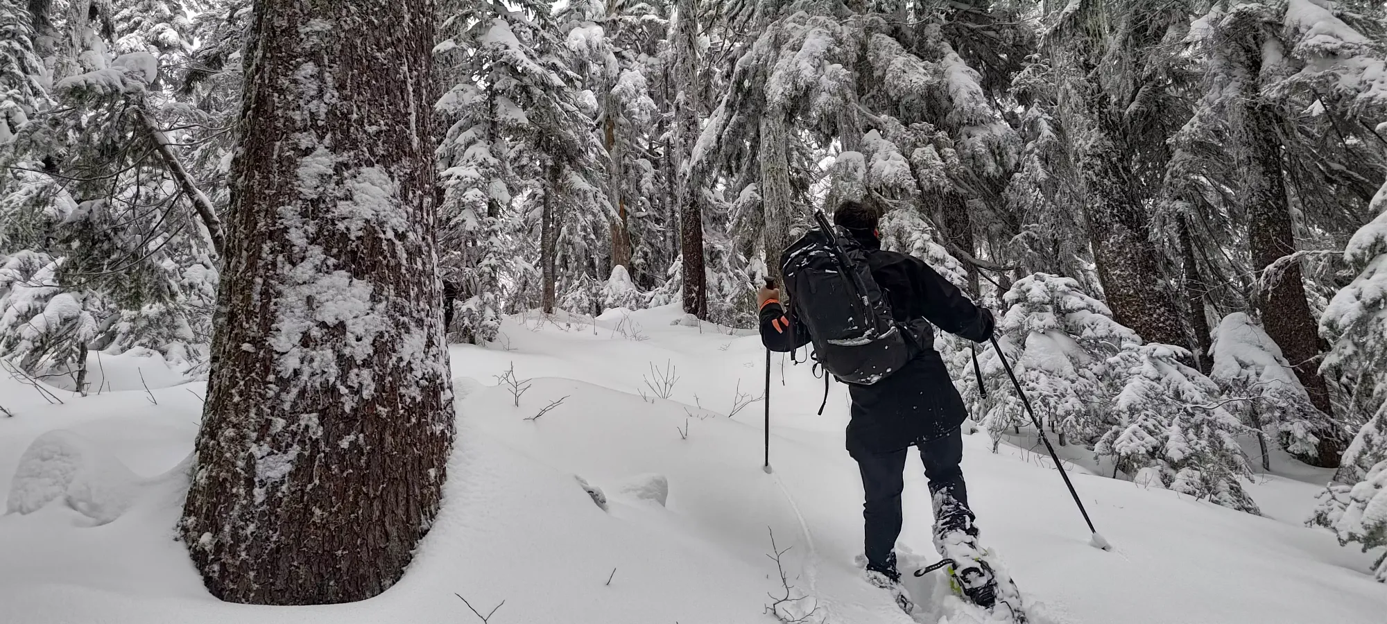

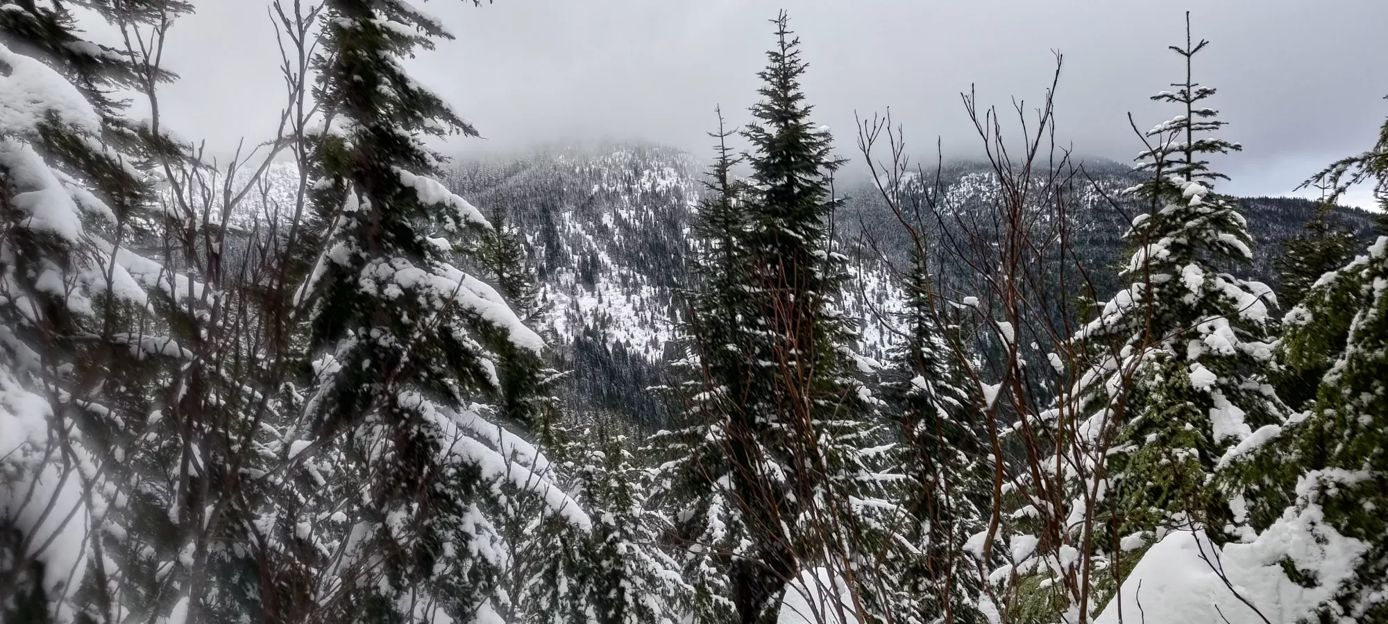
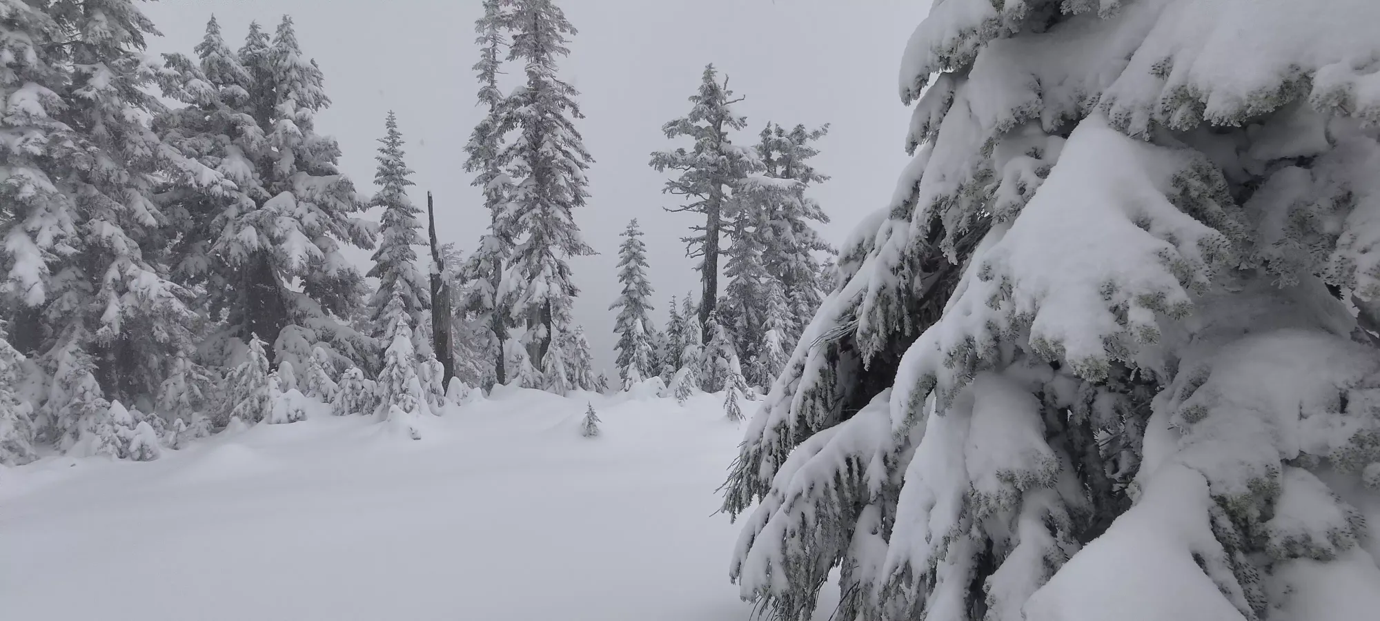
We continued slogging along til around 11am, where we broke out of the denser forest onto the part of the ridge where the trees were a bit more sparse, with more clearings between groupings. Otherwise, things really were pretty monotonous, just tediously following a well-marked, deep trail to the top.
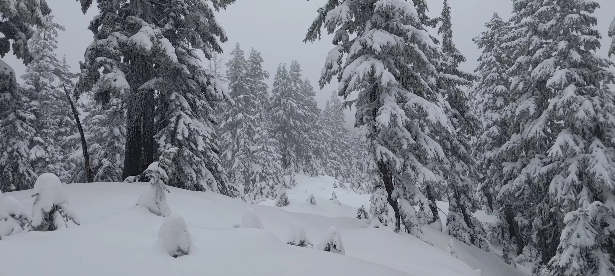

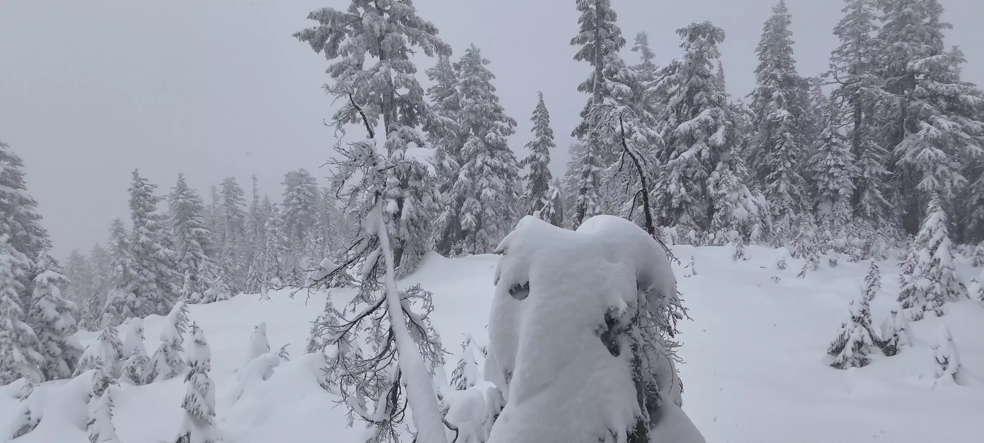
Finally, after 2.5 hours of arduous trail-breaking, we finally arrived at the summit. It is a rather uninteresting bump with a tree growing right in the middle, but hey, it's a summit, and fairly prominent too w/ over 500m of prominence to its name, so we were happy to take it. We took pictures for 5 minutes or so, and then started heading back, since there wasn't really a view to take in or anything.


I led the descent down to the fork where we found the trail signs, which was much nicer than the sections I led on the way up, now that we had broken the trail already 🙂. It took just under 40 minutes vs 75 on the way up. Here, we decided to take the "official" trail down, since it was shorter, and could hopefully take us towards our next objective, Mount Klaudt, a bit more directly. The story continues in that trip report.
GPX Track + Map