Mount Crickmer - December 25 2023
A fairly standard hike to an p1000 peak. Hear there's good views, but I went in a deluge of a rainstorm, so none for me 😅

Golden Ears Rangers, Maple Ridge, BC
1359m
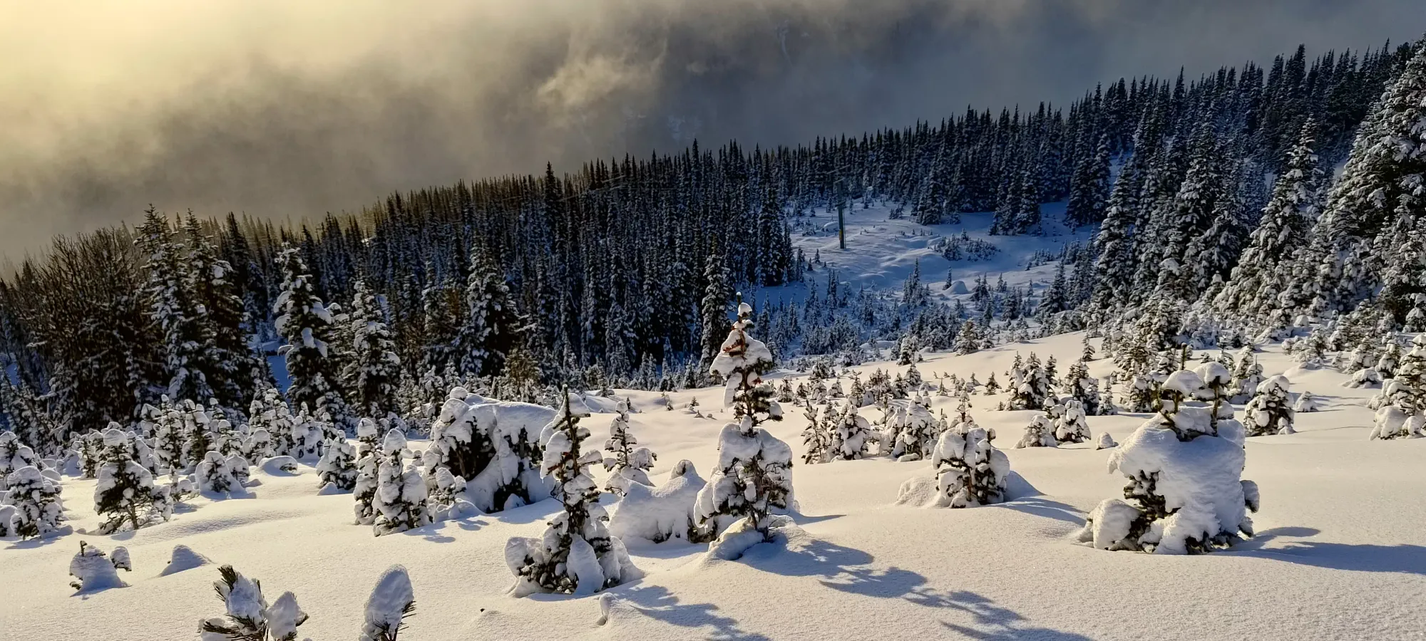
The Christmas weekend this year was a pretty "loaded" one for peakbaggers, as it was, well, a weekend, so there were 4 consecutive days off. However, I decided to waste it trying to climb a mountain on Saturday whose access road needed about a metre of extra snow to be doable (literally was forced to bushwhack on my hands and knees), so that day ended quickly, and I defaulted to the backup option of "just go ski at Whistler for the afternoon". It did result in some awesome powder after hiking up the closed 7th heaven chair, though so I'd say "still not a total waste of a day".

The suffering, followed by the reward
On Sunday, I had Christmas (Eve) Dinner to attend to, so I didn't really have time for a big peak. I considered resort again, but figured things would be skied out, so I went out into the backcountry and skinned most of the way up Helm Peak to get an idea of conditions, and get some turns in. The approach was horrid, I bootpacked for over 2 hours, and it was so icy I used crampons to walk down, but eventually the powder was found, and it was pretty good.
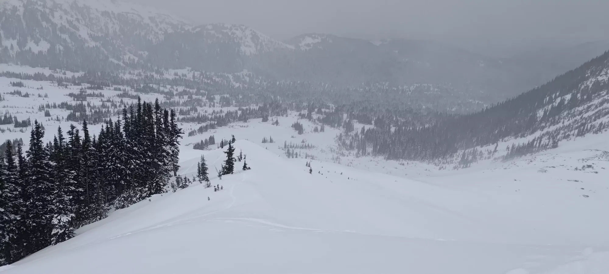
Some nice powder, but a terrible approach trail
After both of those days resulting in some good skiing, but no peaks, I was determined to get something done on Christmas Day. At about 10pm the night before, I saw a trip report from Saturday for Crickmer which said it was in, and they did it in 5.5 hours. Since I was ending the day in North Van to eat with my family, that would allow me to leverage part of the drive out I had to make anyways, should've been short enough to fit in before dinnertime, and as a peak known for being a bit of a bushwhack, knowing the route was in was all I needed. I slapped a pack together with spikes+snowshoes, and hastily tried to get some sleep before waking up for the long drive for the morning.
I got to the trailhead just after 9:30am, to a disappointingly locked gate. I didn't really do a ton of research into the trail, or I'd have been smart enough to bring my e-bike for the road, which would've ended up saving a metric ton of effort/time, but since the TR I used as my go-ahead started from the bottom, I knew it'd be "fine", so I just parked, put my rain shell on (it was raining lightly), and got hiking, determined to push fairly hard since I had little buffer to get back in time.
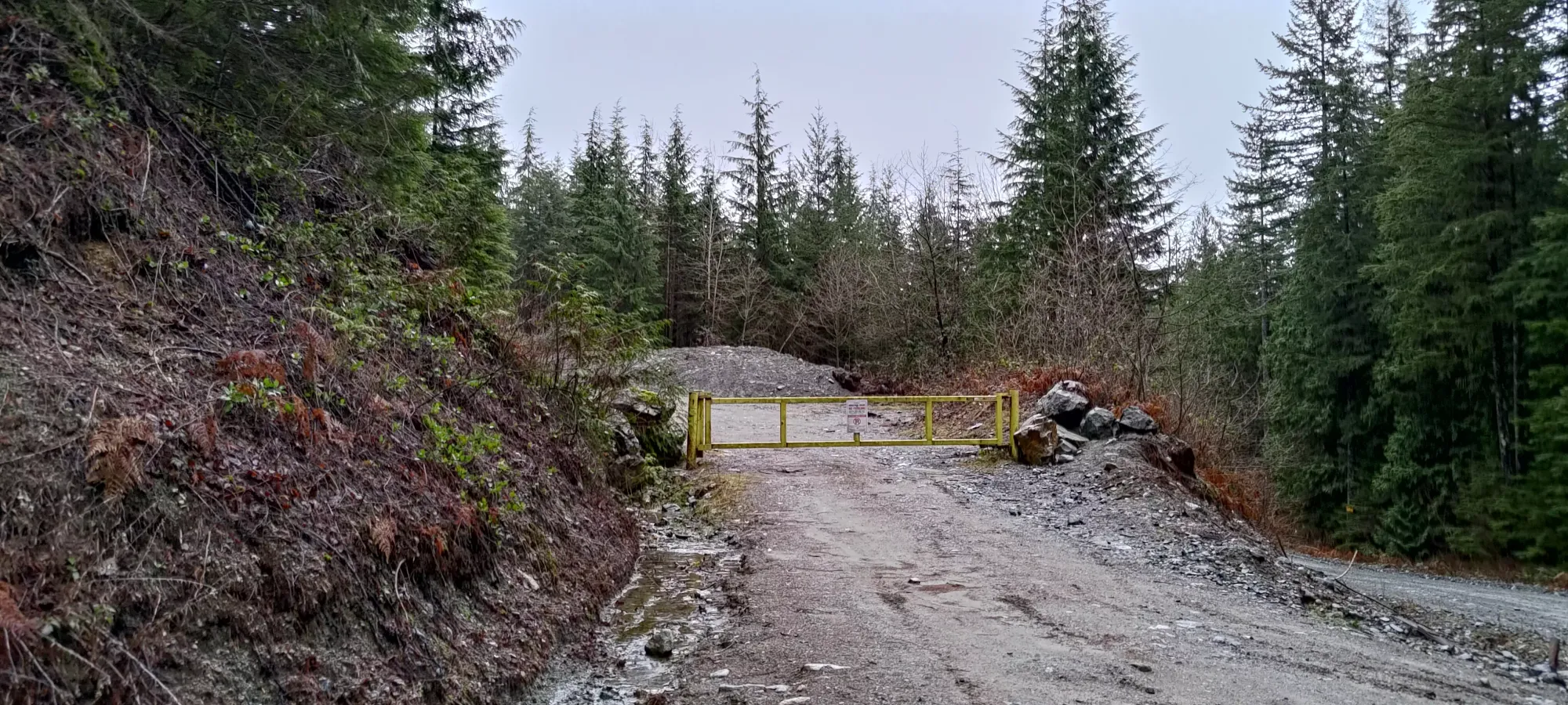
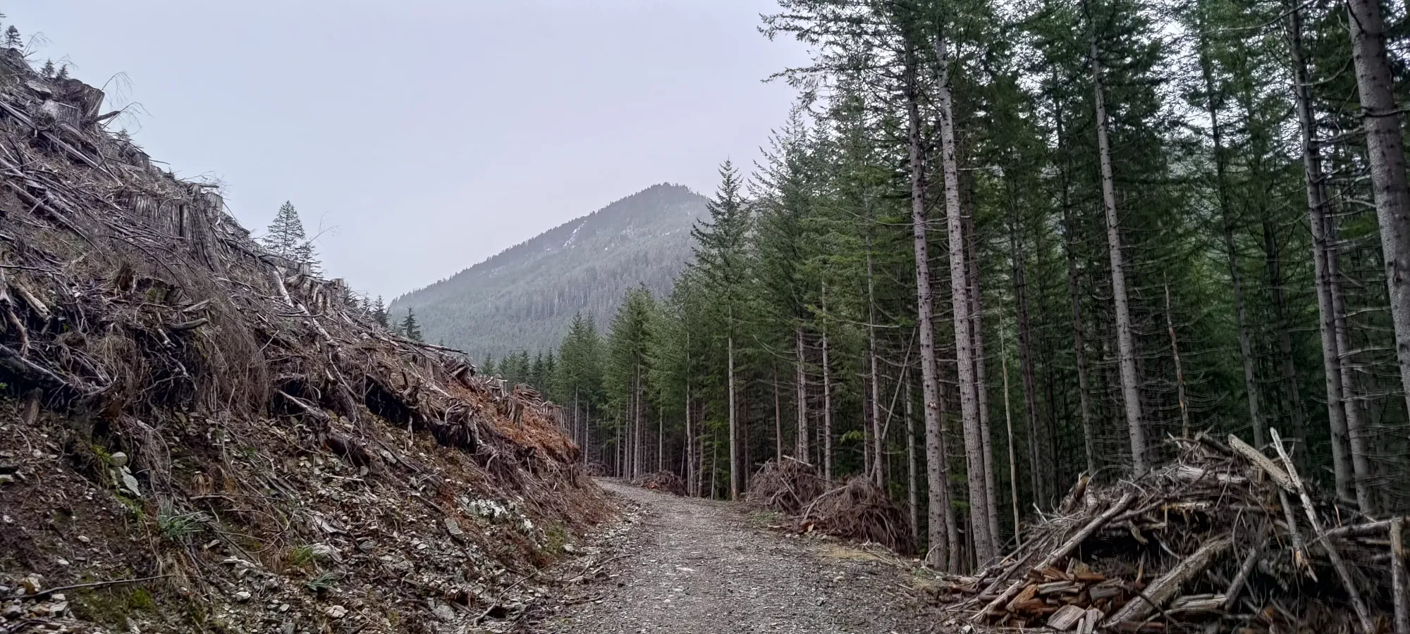
The first 4.5km were entirely an excellently-maintained forest road, which could be driven with "just a car" if the gate was open, or easily biked if one just did more preparation than I did. I blasted through this in 50 minutes, gaining up to 620m in the process (the trailhead was about 175m elevation, with only a couple minor bits of undulation in the trail). At this spot, there were a couple cross-ditches that I'd say merited medium-high clearance and not-terrible approach+departure angles.

Another 5-ish minutes brought me to the end of the maintained road, with a couple more ditches and one spot with loose-ish rocks that 2wd might or might not be able to handle. It was not, however, the end of the driveable road, as the deactivated road was actually still doable in AWD+high clearance, and a willingness to pinstripe a bit.
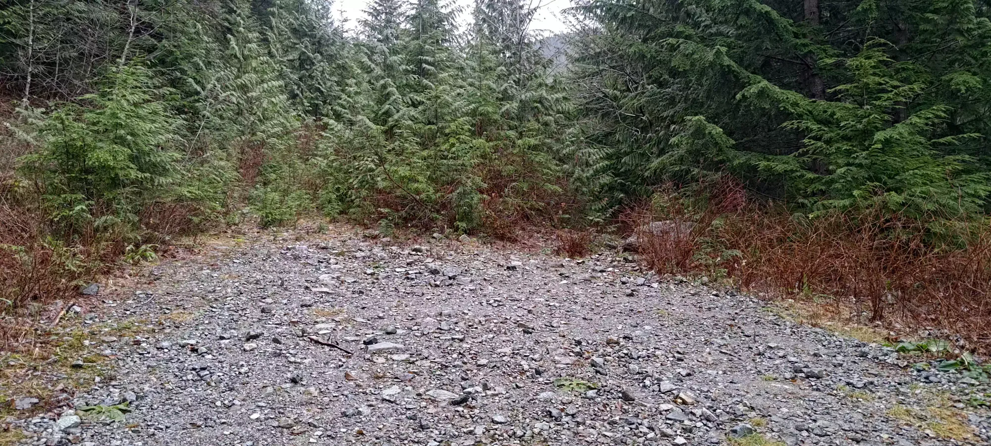
The driveable road ended just over an hour into my day, at about 675m elevation and nearly 5.5km, where it seems Kearsley Creek washed it out completely, and there was a steep bypass to climber's left to get to the decaying bridge that crosses the creek, after which the trail stays at hiker-width. Given the whole day was about 18km round-trip, you could save a TON of distance/time with a key to that gate, or even just a bike. Oh well, I managed to move pretty fast at least, so I mostly just lost energy/water-repelling capacity for my gear more so than time. Time for "real hiking" to start.
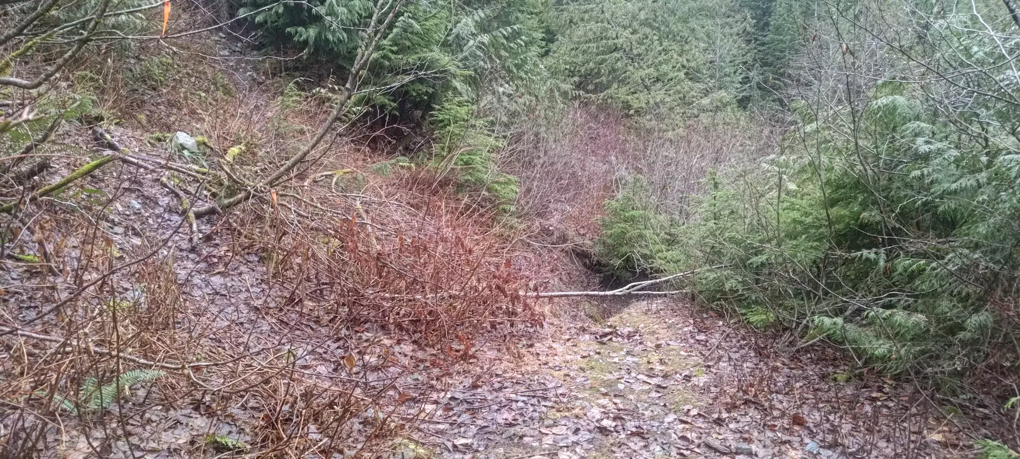
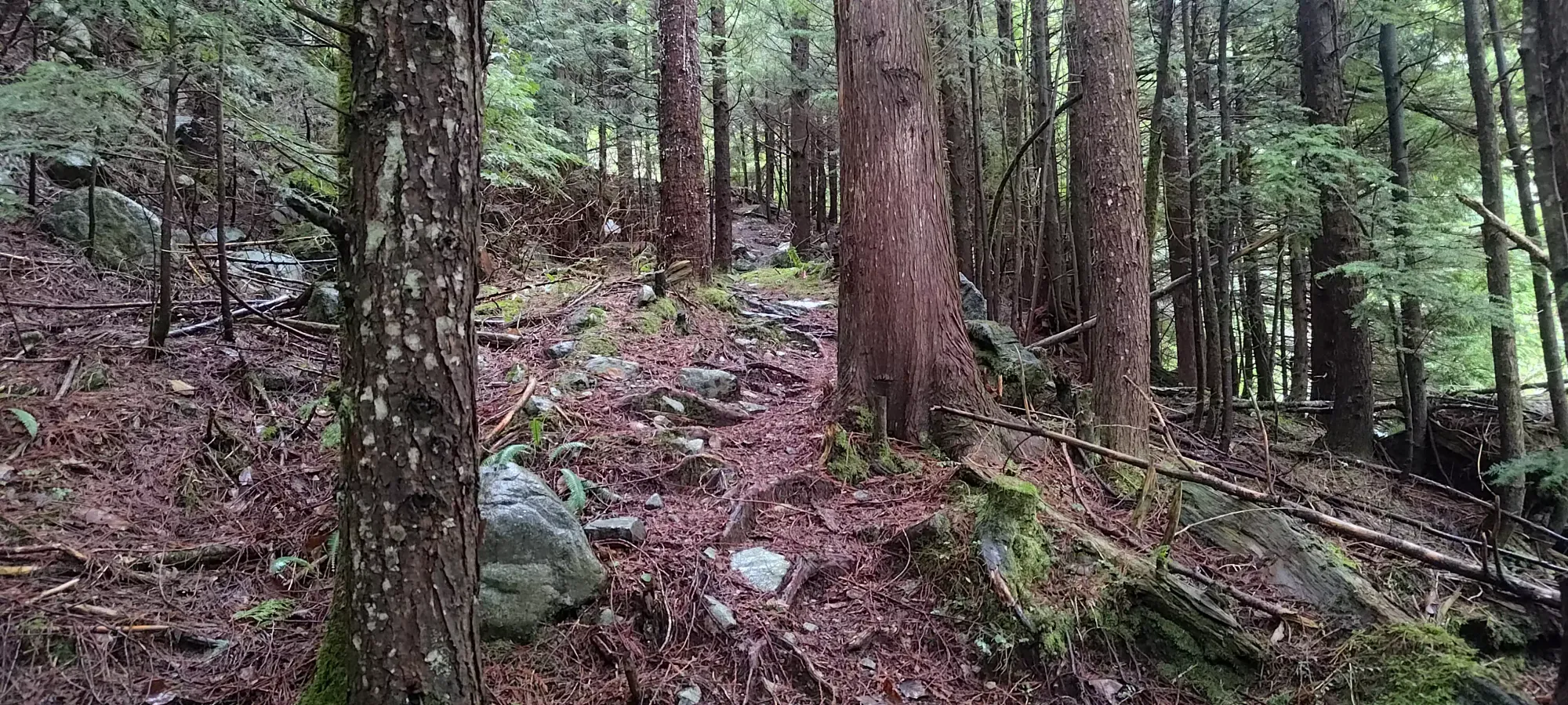
Past this point, with the exception of a few dozen metres of forest trail like above, the walking is mostly done on what seems like a very old forest road that's been well-claimed by new growth. That means while one doesn't really need to bushwhack at all, one does need to "bush-slap" a lot of little bushes/branches out of the way while walking, which was more of a nuisance than an obstacle to well-paced progress. Since the rain was only getting more intense, though, it DID mean I was getting quite soaked from hitting all these wet branches, so after about 10 minutes I gave in and took my rain pants out of my pack and put them on to head off getting totally drenched on my lower body.

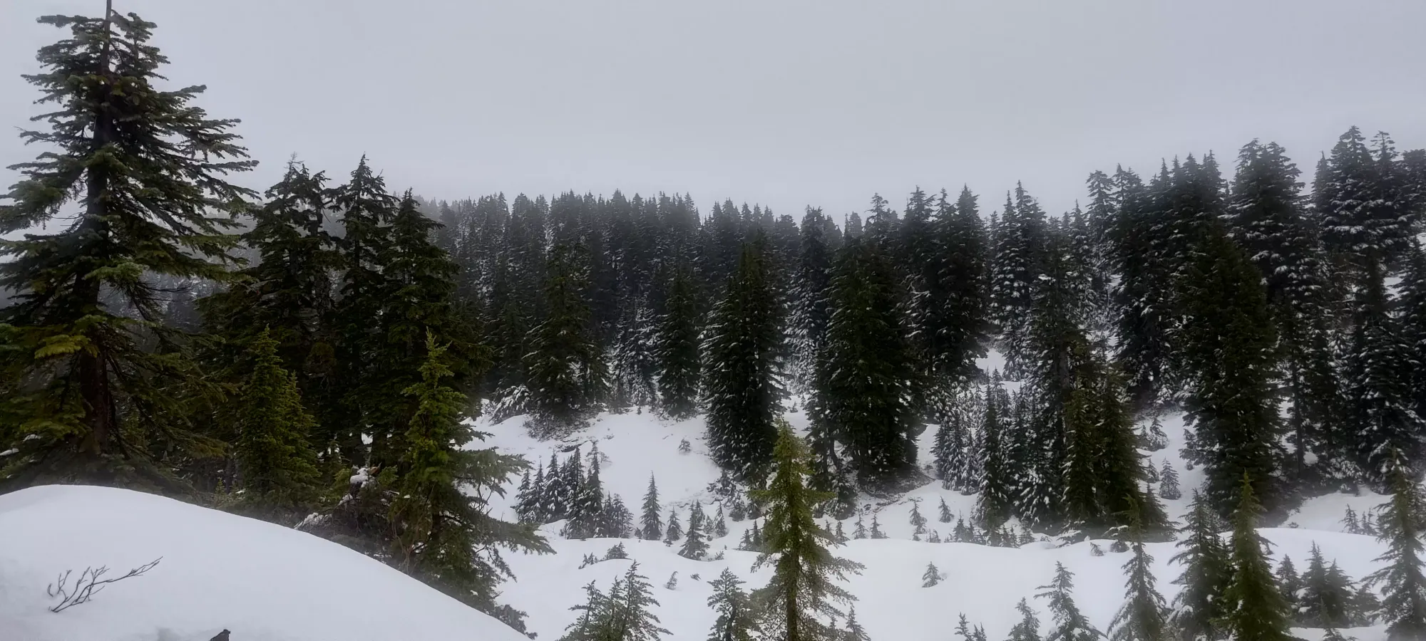
Somewhere above maybe 800m elevation or so, the snow started getting fairly consistent, if still quite thin. I wasn't slipping quite enough to bother taking my spikes out, and I definitely wasn't postholing, so I just kept on charging forwards until the fork at 1030m, where there's apparently a trail going to "somewhere" further north, and the trail for Crickmer, which follows the road back south for a few seconds before turning east up the mountain. I got to this spot at about 11:35am, under 2 hours into the day, so still keeping an acceptable pace for my goal of getting down by 2:30pm, though not with a ton of buffer.
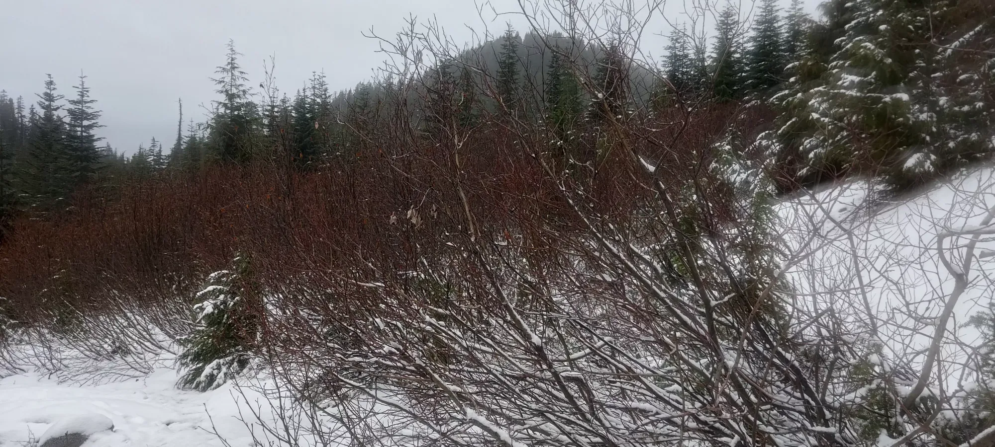
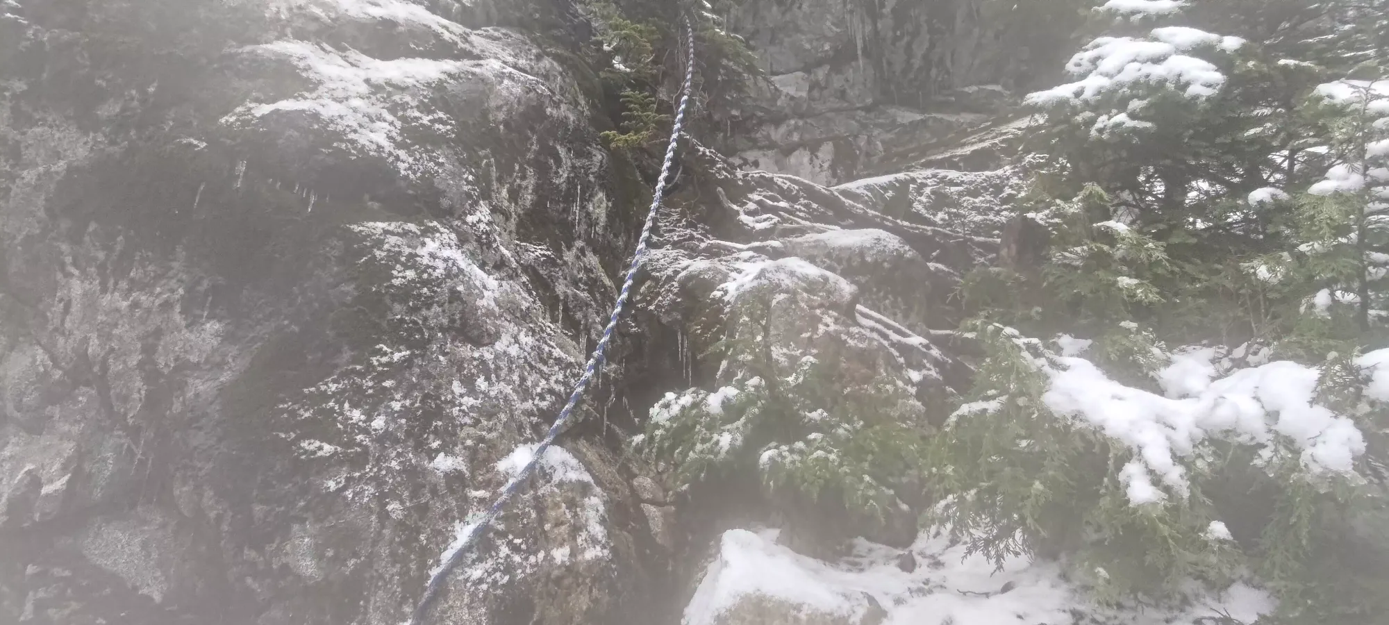
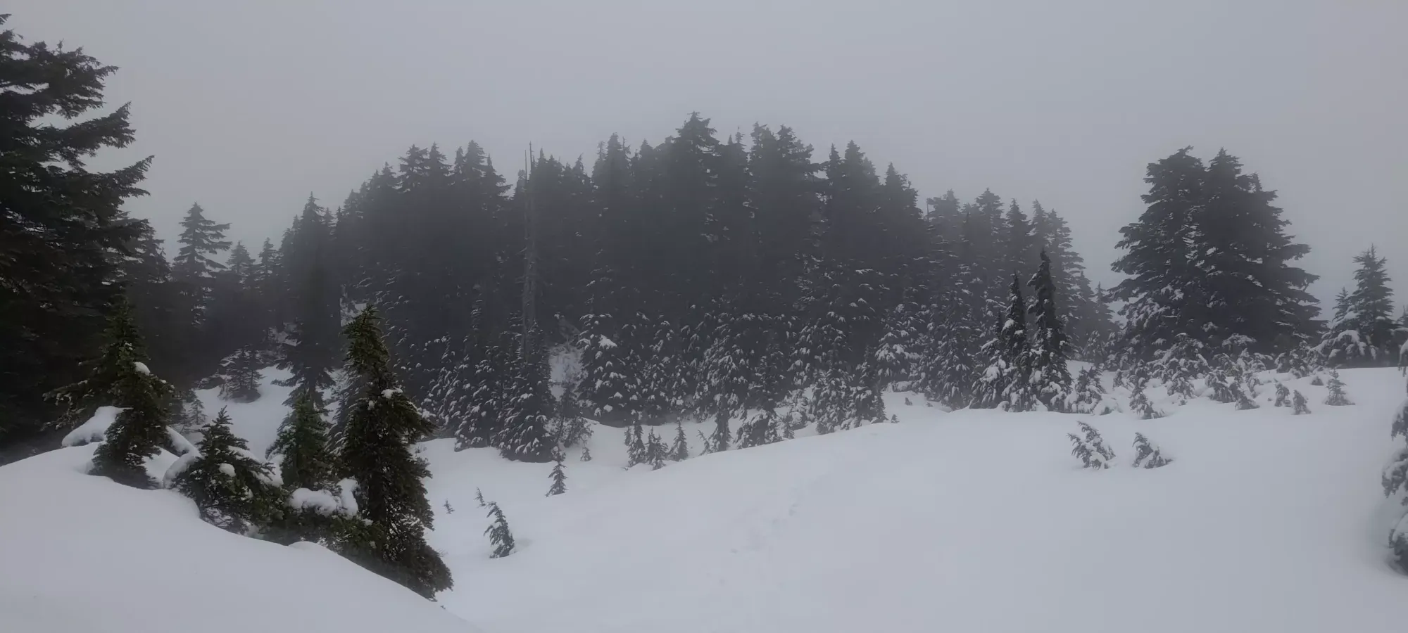
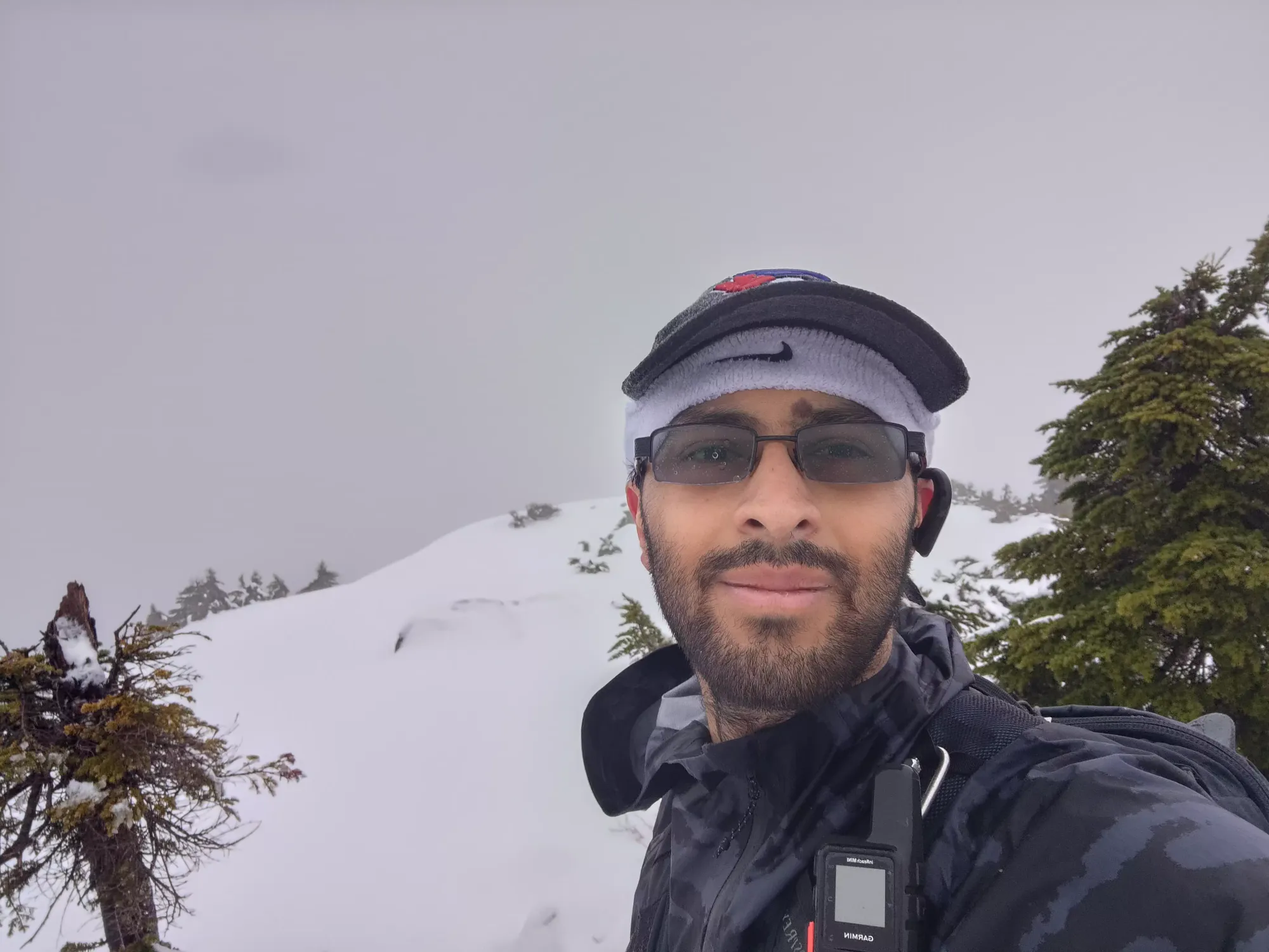
After turning onto the summit trail, things get steep pretty fast, and I slowed down as I had to deal with the slippery conditions (thin+wet snow/slush, but with some bare spots). There were a couple glimpses of open+deeper snow in clearings, but the trail stays out of those for a while. There was even a token fixed rope to make things sad, which I was able to avoid using, even in these "pretty worst-case" conditions. I continued up the tight and steep forest, which also had a couple steep side-hilling portions thrown in to make things extra-spicy for the slippery state of the trail, until about 25 minutes later I finally broke out of the trees and into the treeline (no alpine to be found this low). To add to the suffering, by this point, I was thoroughly soaked, with my shells getting close to being wetted out, so I went to put some mittens on and discovered I was an idiot who never closed his backpack when he took his rain pants out. Thankfully my backup gloves took most of that water, so my mittens were dry. My winter boots had also become fully saturated, and were sloshing like crazy. I definitely chose a day to get out into the mountains...
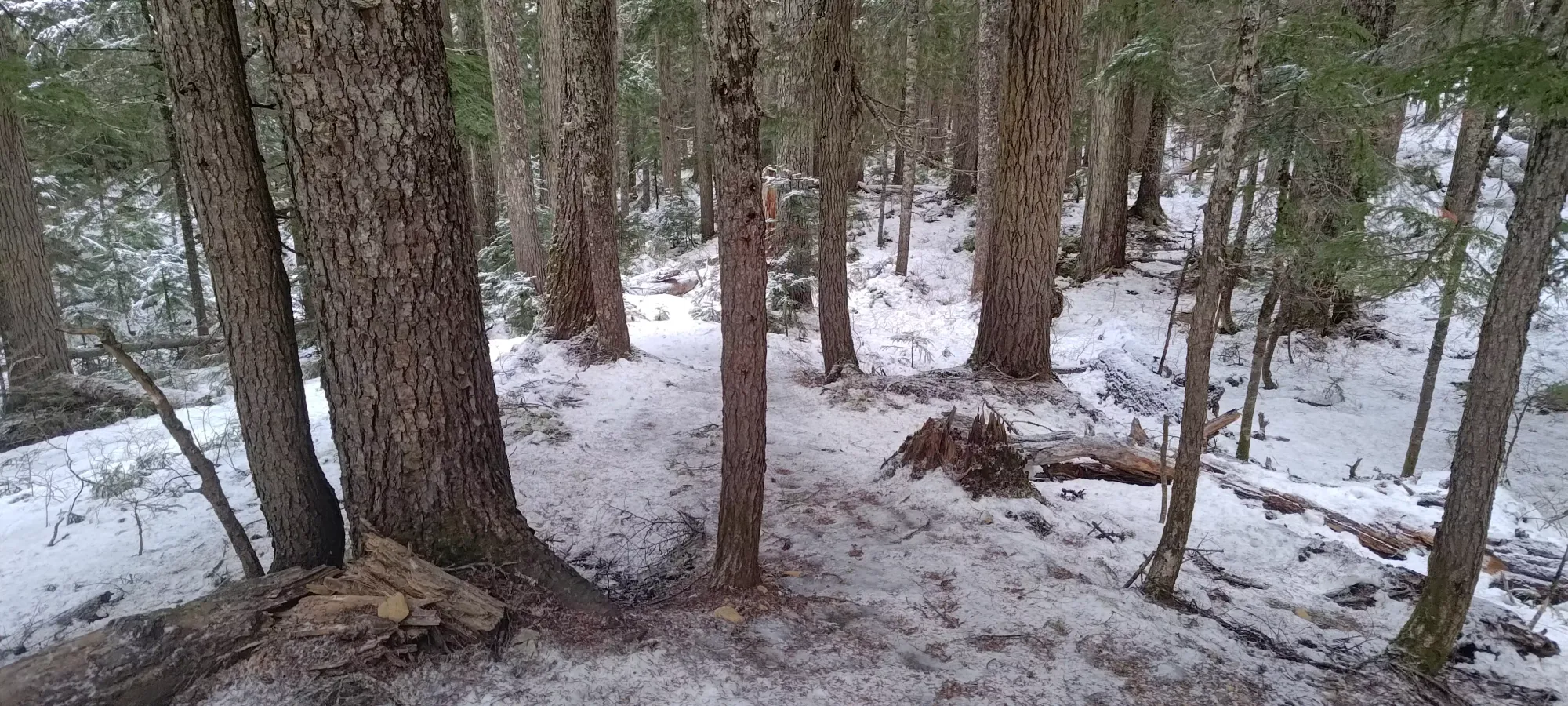
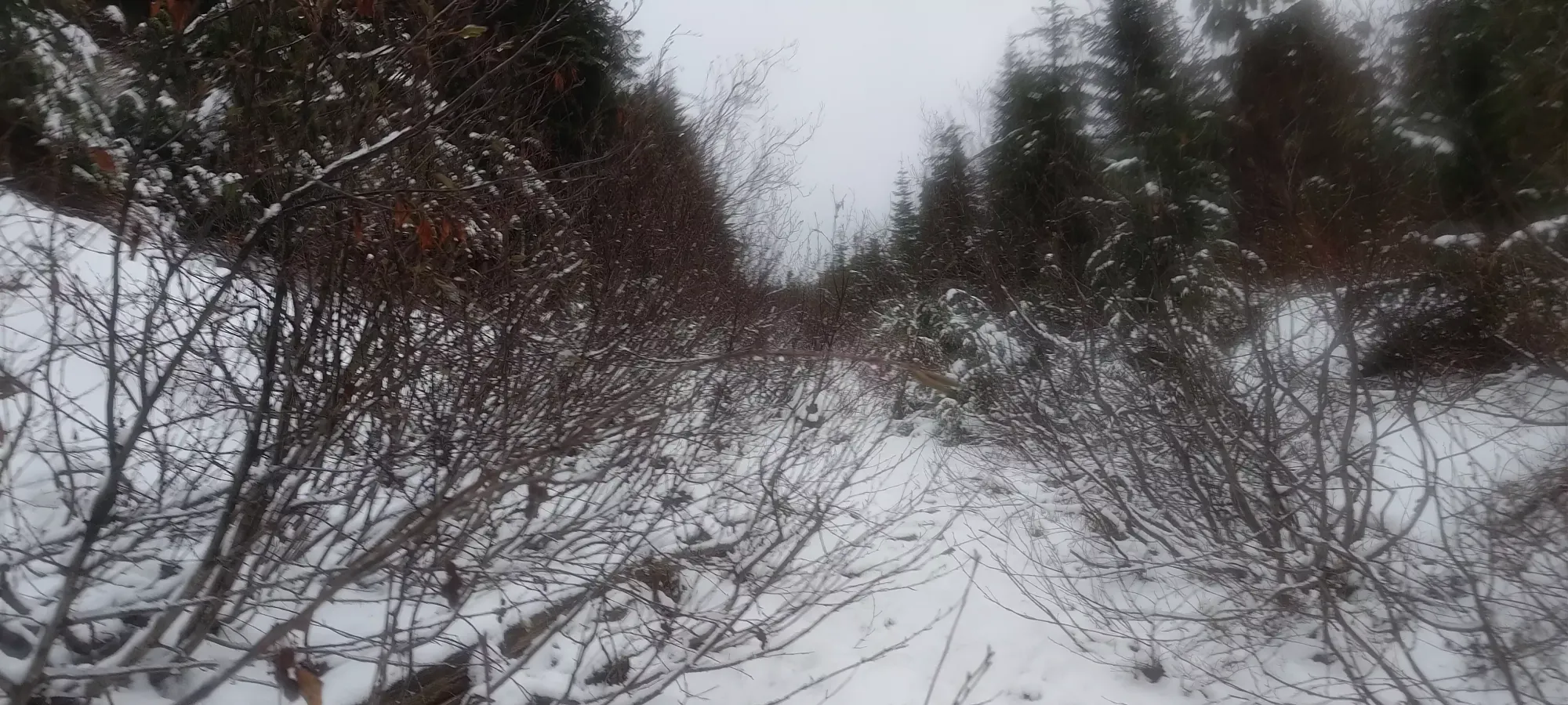
From this point, it was another 15-20 minutes of slogging up the mostly-open trees to the summit. While the day was actually still pretty short, this "above the road" section felt really slow/tedious, and I was getting worried about time. I reached the summit at 2:40 into the day, or a bit before 12:30pm, so "just about as late as felt reasonable", so I'm glad I pushed as hard as I did (heart rate didn't get below 150 the whole way up, and was usually much higher). There were 0 views in the rainstorm, so I just snapped a couple pics and ducked out. I did plan to put spikes on for the descent (my snowshoes were useless weight on my back the whole day), but wanted to get into the protection of the forest to do that, hoping to avoid the wind and some amount of rainfall while I did my transitioning.
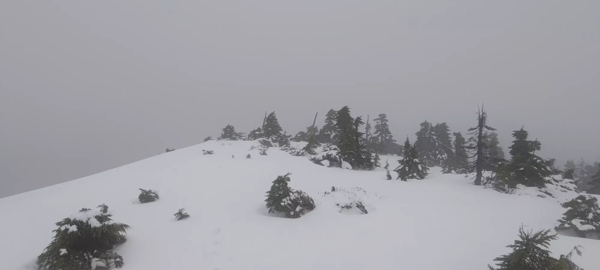
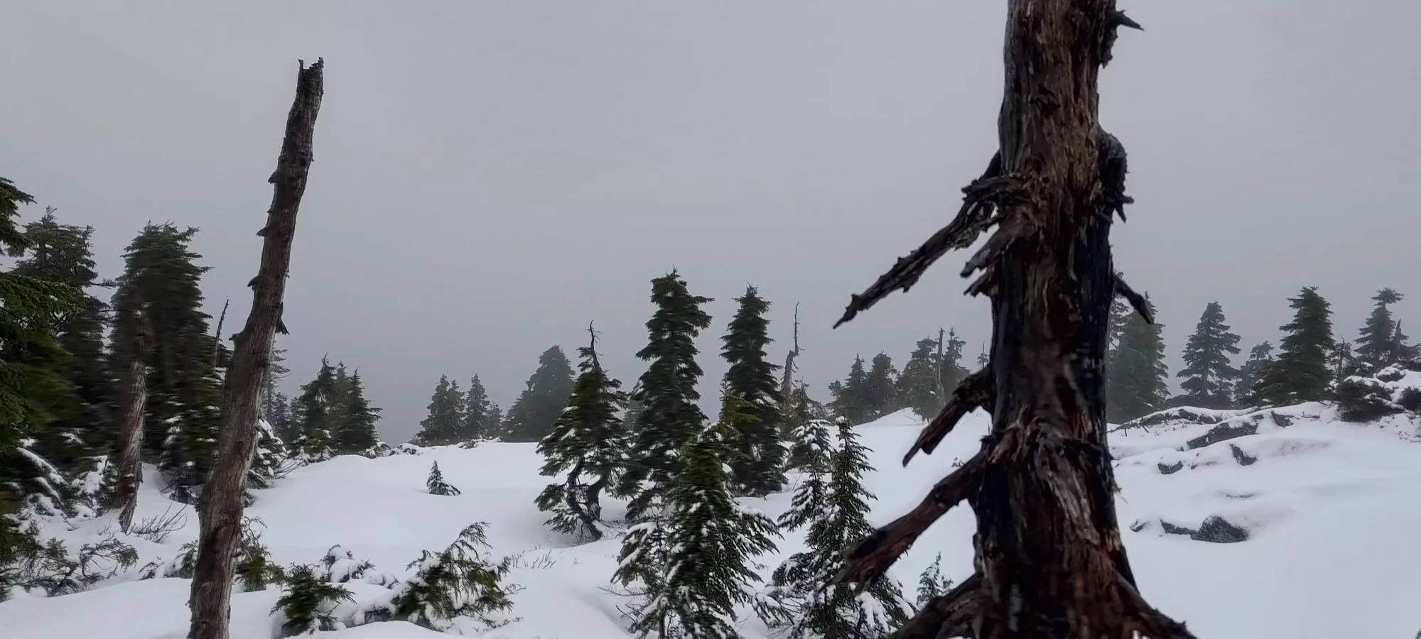


Such views. Much gorgeous
The descent down to the road was barely shorter than the ascent, taking me 35 minutes, mostly due to the steeper forested section being rather sketchy with the steepness and wet+slippery snow. I was glad to have spikes in the snow-covered parts, but they were kind of annoying in the dirt sections. Once I got to the road (conveniently right around 1pm, I do so love when things happen at nice, round times like that), I was very happy to see it, and looked forward to some more efficient travel.

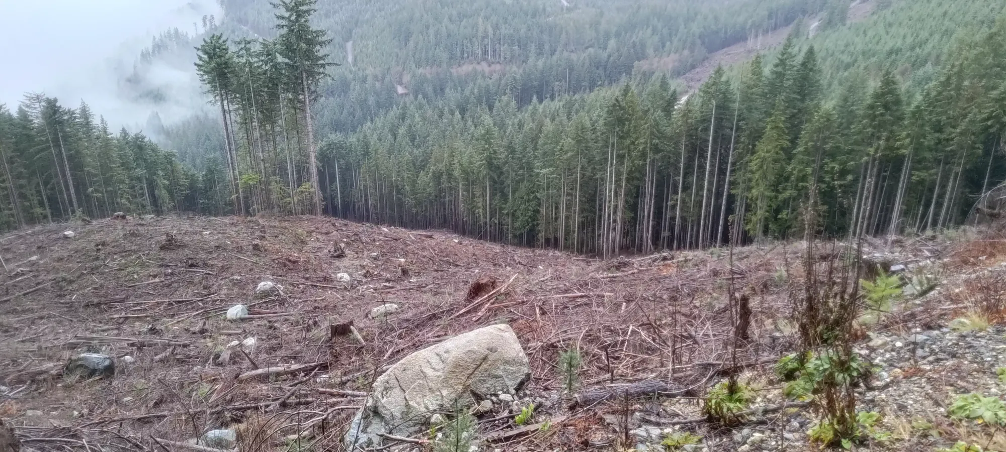
The descent was pretty uneventful, as it was basically just "walk down an old, overgrown road, then an old road, then a new road". After an hour, I found myself at about 475m elevation, where there was a cutblock that shortcut a large switchback which also had some elevation regain in it, so I decided to follow the advice of the previous party and try walking down it. This was... probably a mistake, since the devil's club was quite present, the ground was loose, and the deadfall everywhere did NOT make for efficient travel.
That terribleness took me 12 minutes of suffering, going downhill, but only 10 to walk around on the way up, so that wasn't great. Once I was done there, it was a simple 15 minute walk/jog back down to the car, which I arrived at basically exactly at 2:30pm, right on time (and faster than the previous party, which always feels good)!
Overall, I would say this peak is probably a good view one from others' reviews, so "you should make some time for it". I would also definitely recommend going with either an open gate or a bike to make the road a lot less miserable (not being a rainstorm helps there too, I'm sure). I wouldn't be scared of the bushwhack, though. I'd been waiting for winter conditions due to that, but honestly it was pretty chill, and I'd do it while dry without complaint.
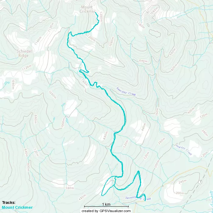
GPX Track + Map