Lava Butte (Oregon) - June 30 2024
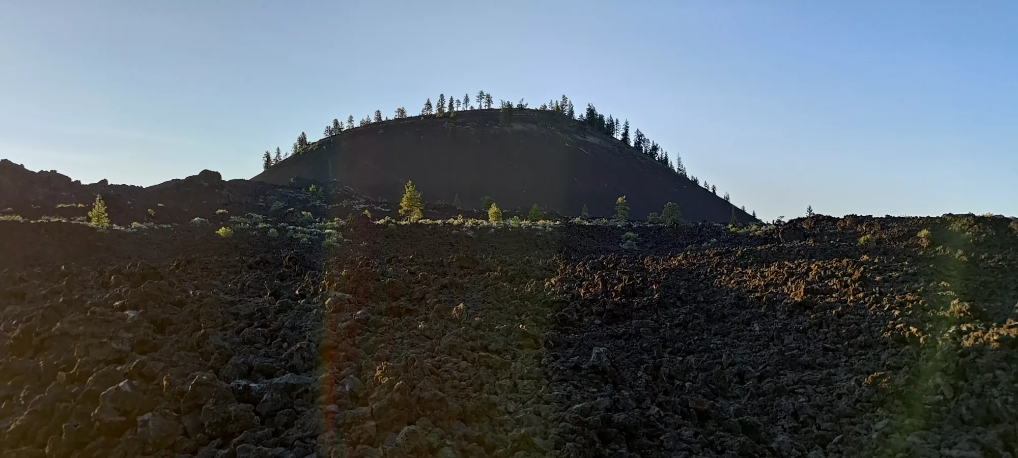
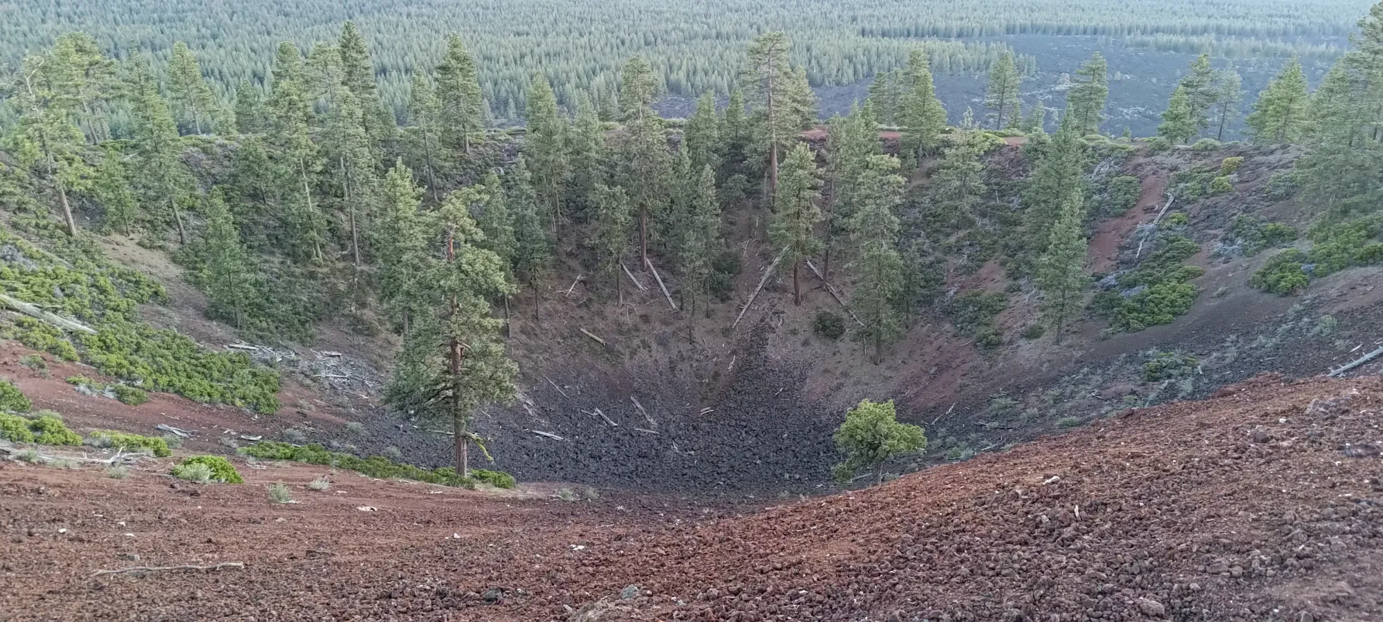
A small cinder cone south of Bend. It isn't particularly impressive, but it offers an easy summit for die-hard peakbaggers, and an accessible viewpoint for everyone else

Paulina Mountains, Bend, Oregon
1529m
After a productive day getting from Portland to Mount Bachelor, climbing+skiing it, and then getting cleaned up and having a late lunch in Bend, I decided I wasn't quite done for the day, so I dragged Nick back out to go dumpster diving for some p100s before the day ended 🤣
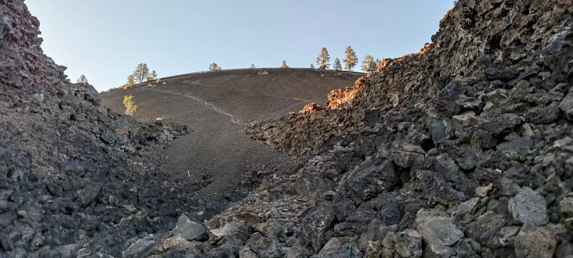
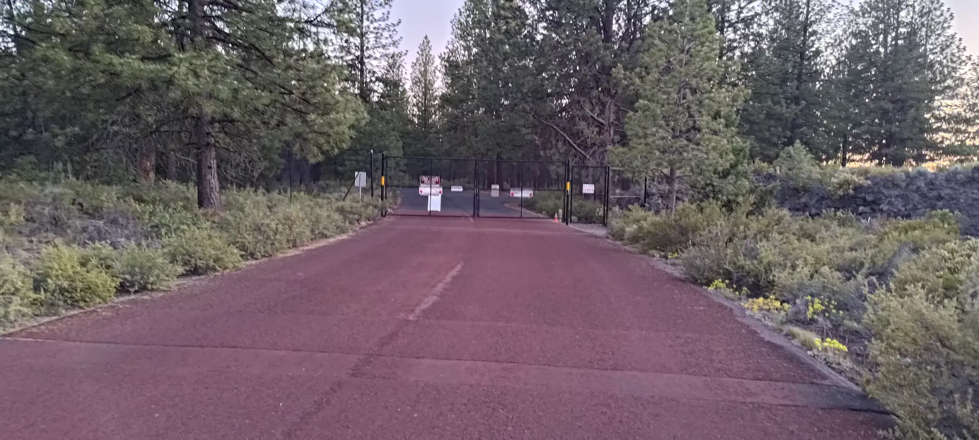
There are a few small peaks around the Bend area, largely cinder cones. I decided we should go for this one first, as it was in the opposite direction (south) as the others I was eyeing, was purported to have good views, and had a road to the top, meaning it should have been nothing more than a driving stop before we could continue on our journey. However, once we got to the base of the hill, we noticed the road was gated! I figured the prominence was below 200m so it wouldn't take long to hike anyways, so we started walking up through the lava fields, hoping to cut off the trail that went up the south side of the peak, since it looked more direct than the long, gentle road.
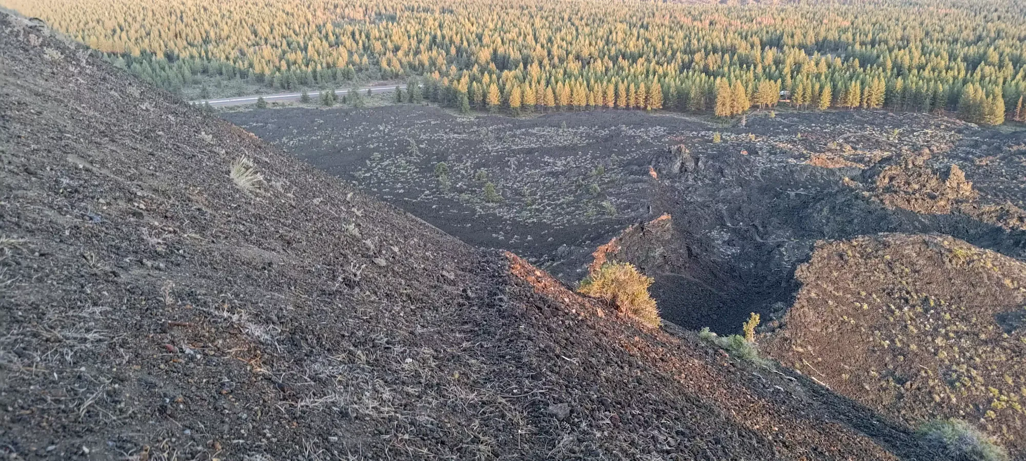
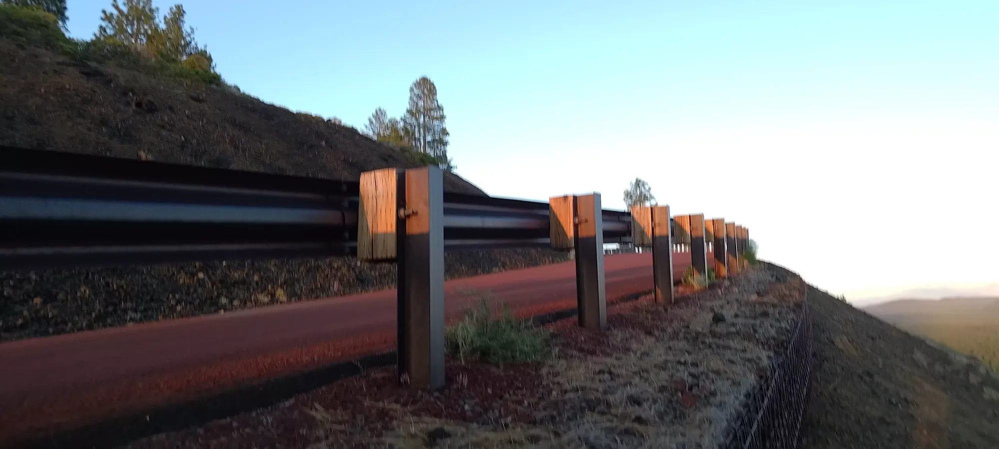
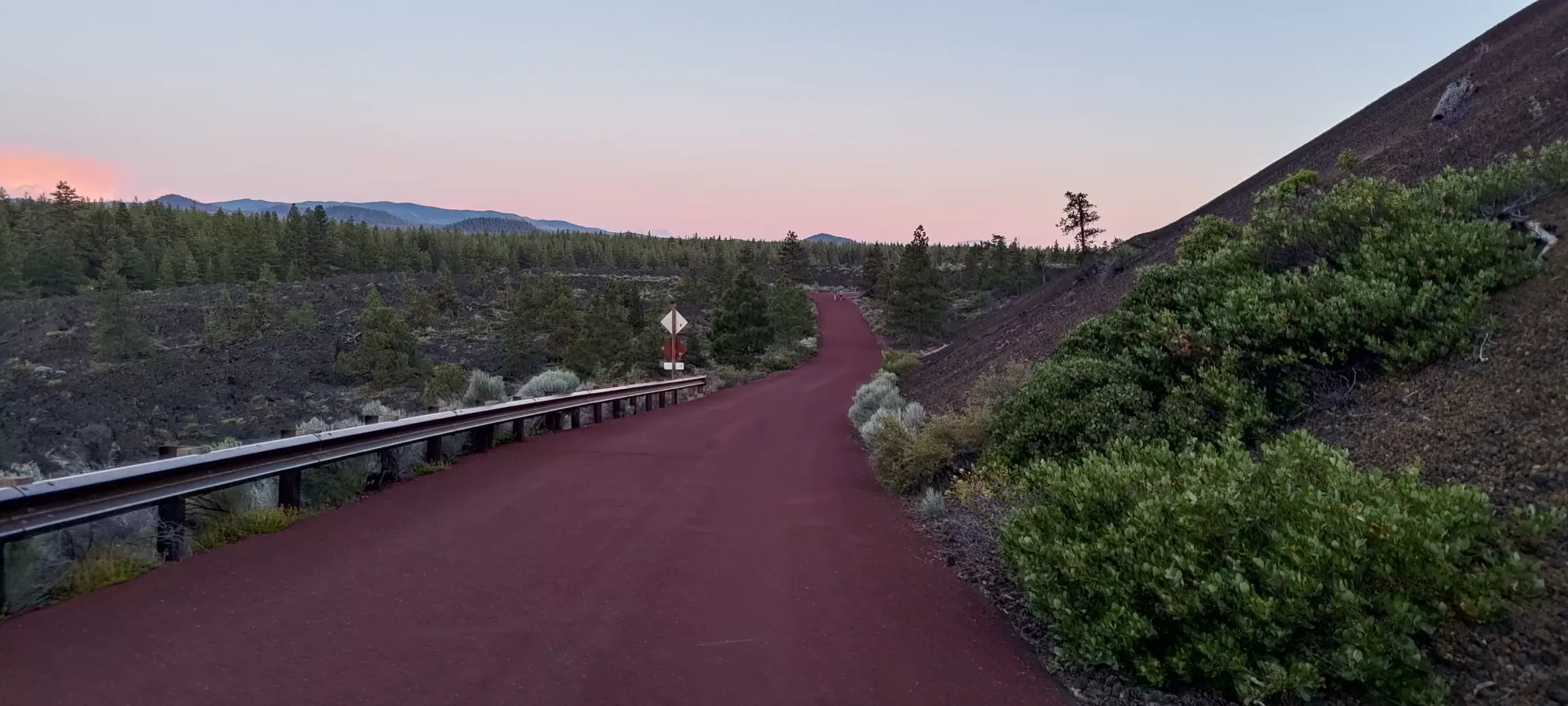
The rock was pretty terrible; loose clinker that was reminiscent of the 2022 lava flows on Mauna Loa, so we decided to just go back to the parking and start the trail from there rather than struggle through the terrible rock to cut it off. That definitely saved time, and we actually got moving from the start of the Trail of the Molten Land at about 8:15pm. It is a paved trail, so there's not much to say, really. We walked up until the high viewpoint at 1410m, where Nick decided he wouldn't enjoy the crappy, barely-beaten-in trail from there to the top (fair, we didn't come with any gear, and it wouldn't be fun even with good shoes given the loose volcanic debris), so he headed back before me while I started my way up what looked like a path a few intrepid hikers had broken in to the rocks.
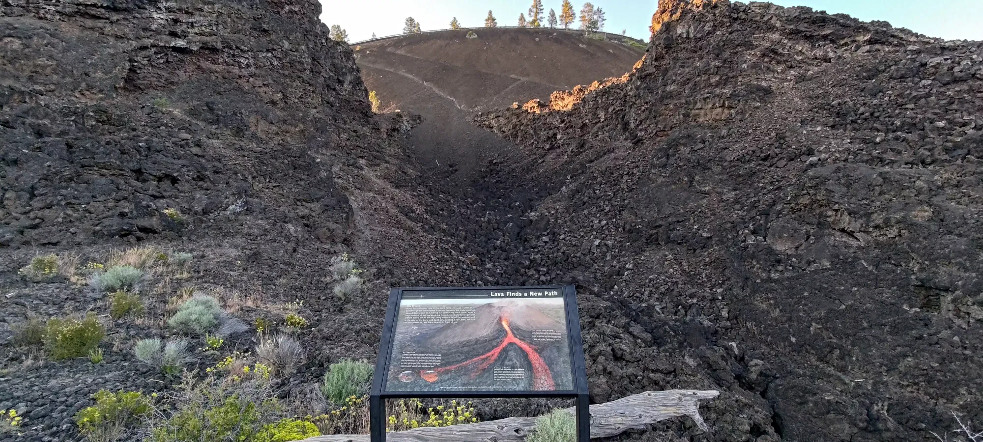
Moving up the climber's right side of the small gorge was pretty easy, as enough people had walked there to make the ground quite stable, even for my loafer-equipped feet. That got me from the informational sign where the off-trail adventuring started up to the loose scree past the gorge in just a couple minutes
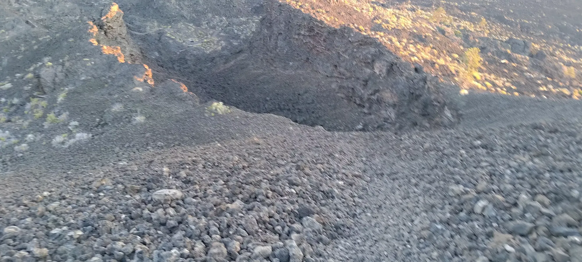
Getting across the short "trail" (it was more just slightly walked-on scree) up to climber's right towards the more-defined path that connected to the road was horribly tedious. The scree was super loose, and every other step slid back at least halfway. I worked up a pretty good sweat in the few minutes I spent in this section. Once I got to the more-defined path to the road, I was very relieved to just be on "a normal scree path". That went a bit smoother, and by the time I hit the road, I'd spent about 8 minutes to gain about 80m. Not bad, given the terrain, I'd say.
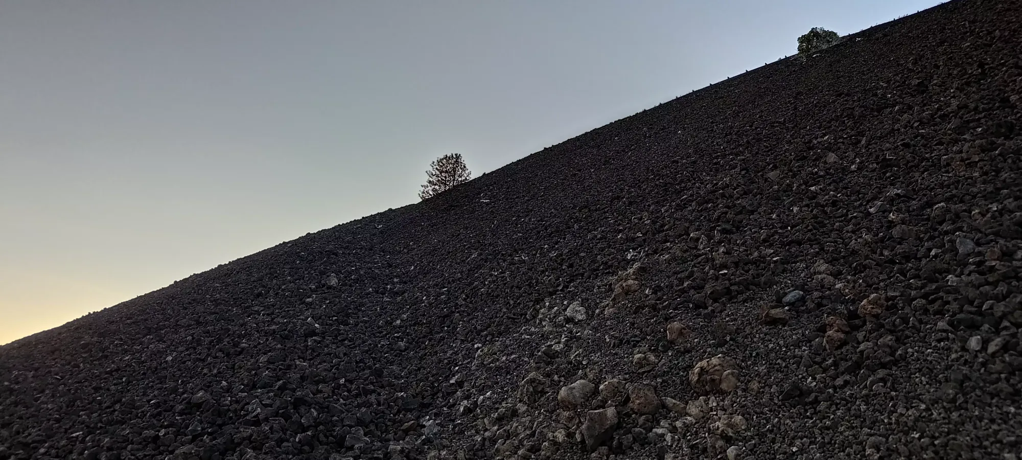
Trail getting progressively better as I approached the road
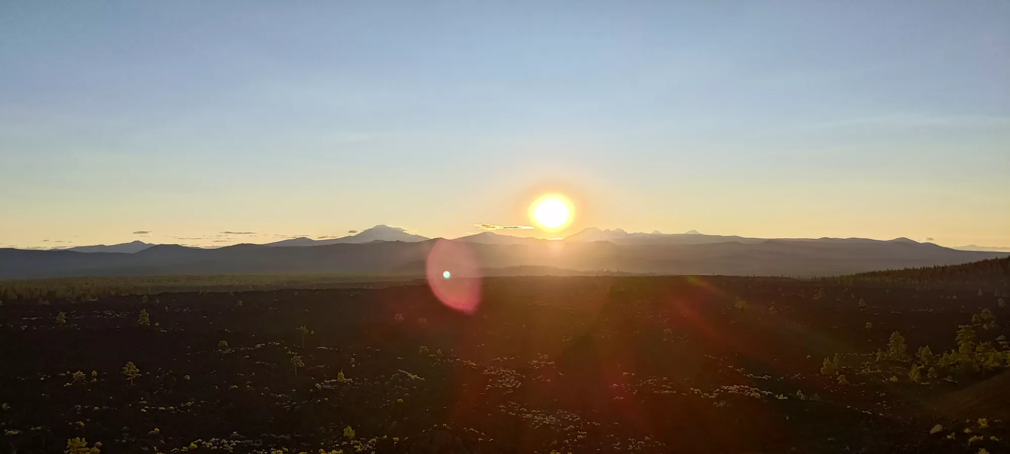
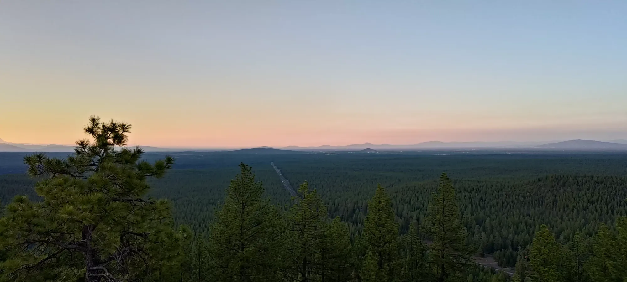
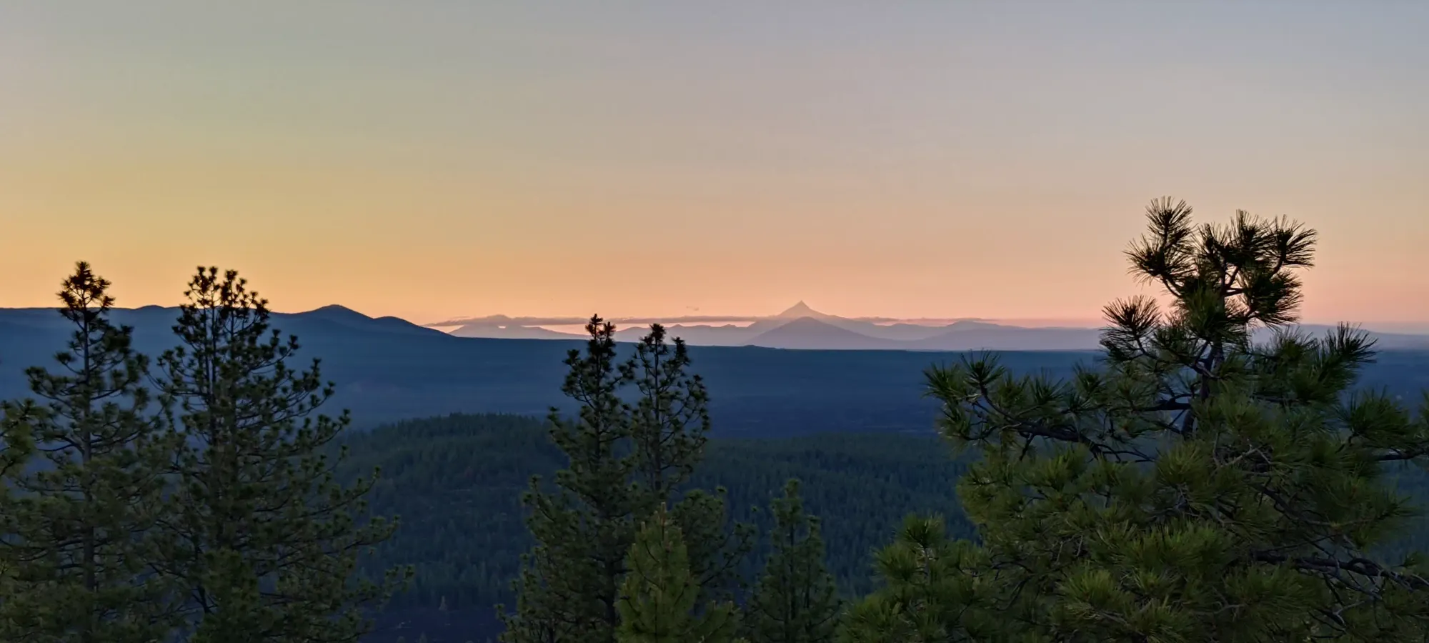
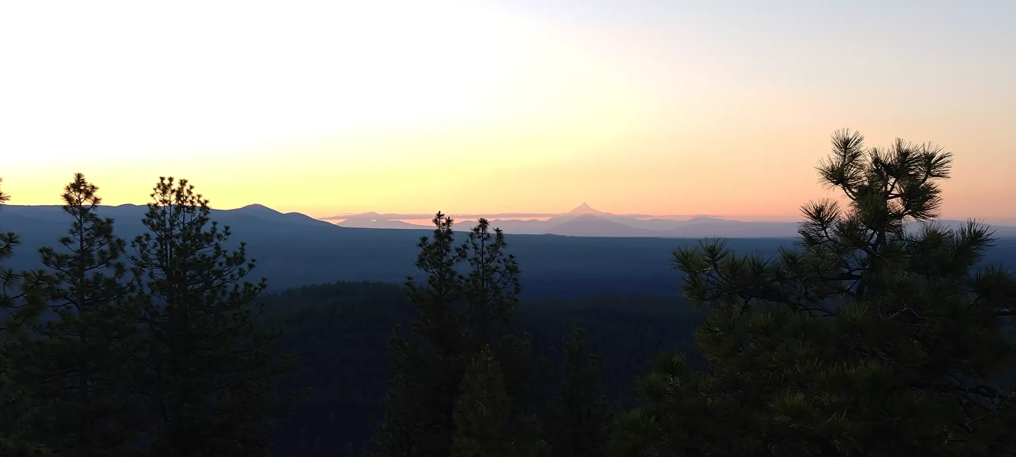
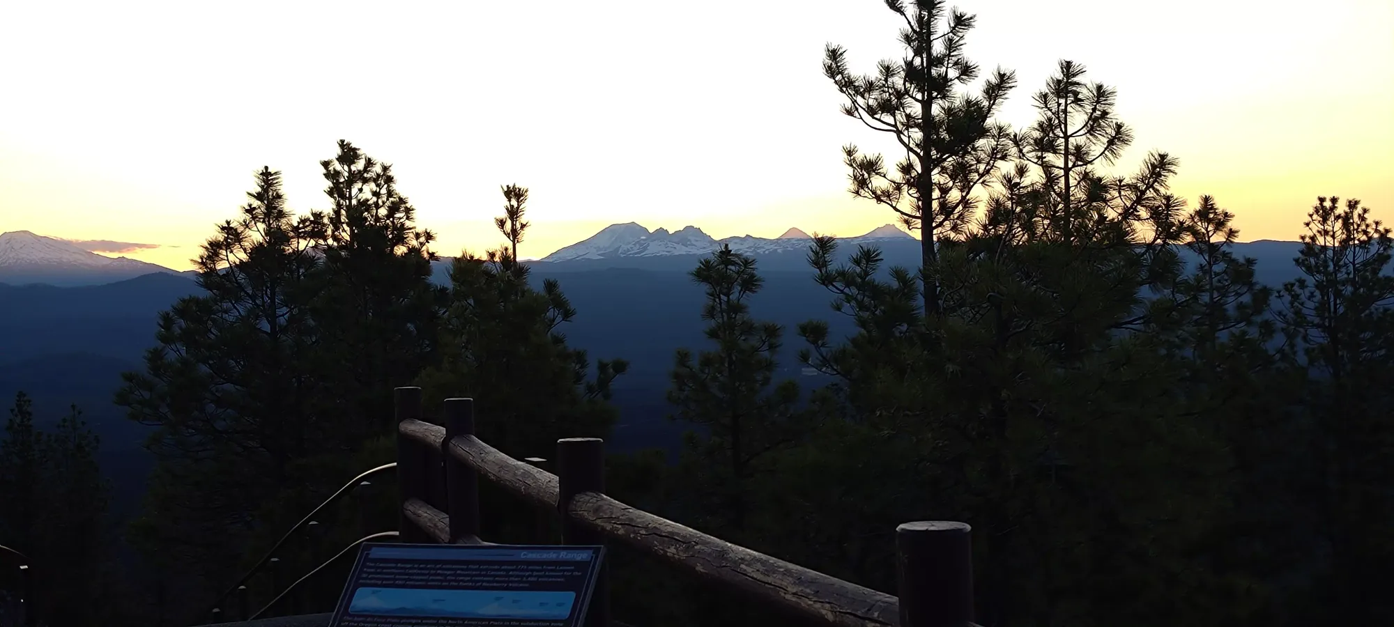
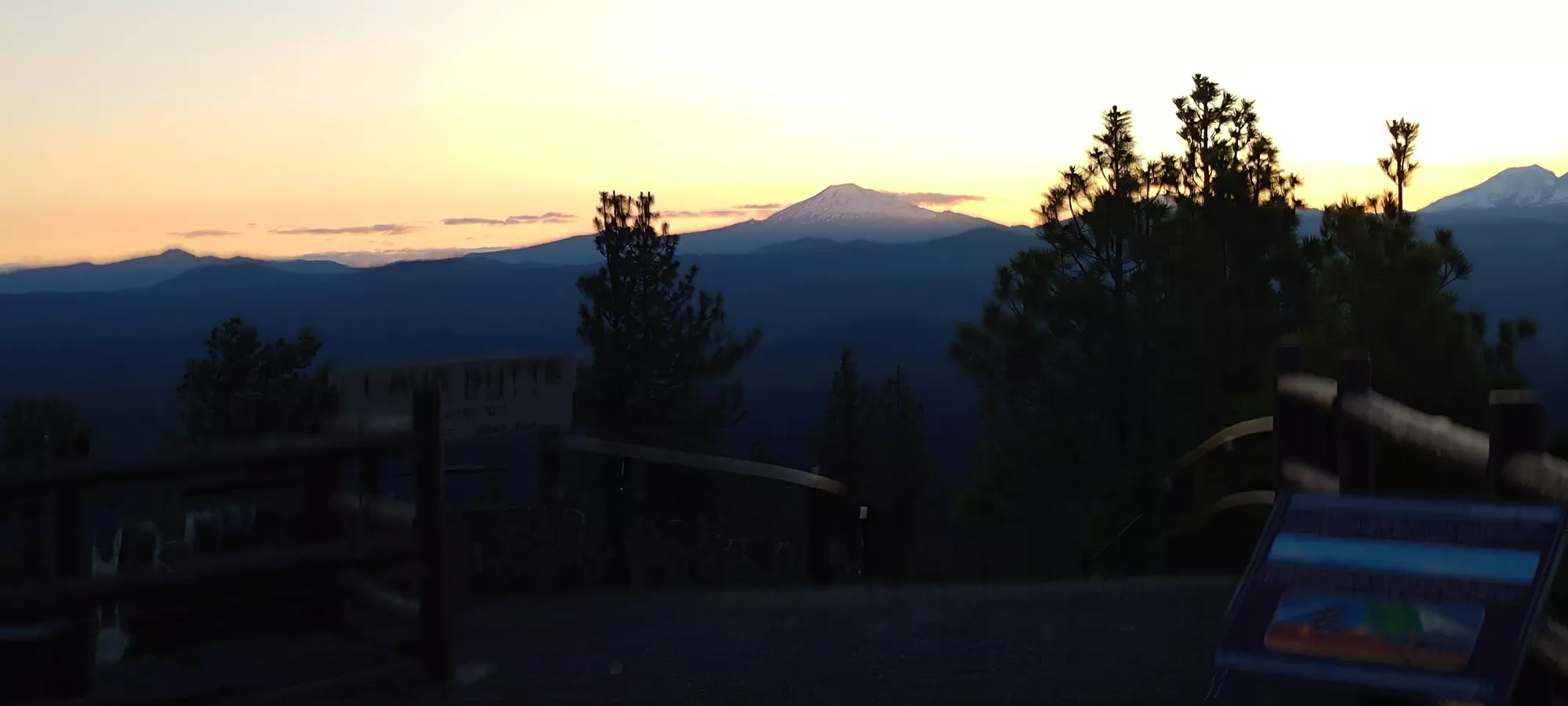
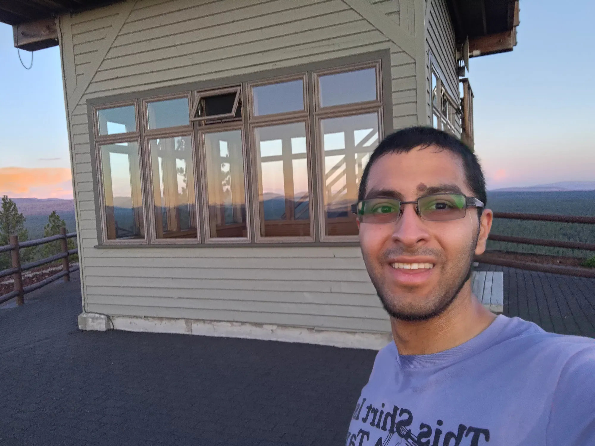
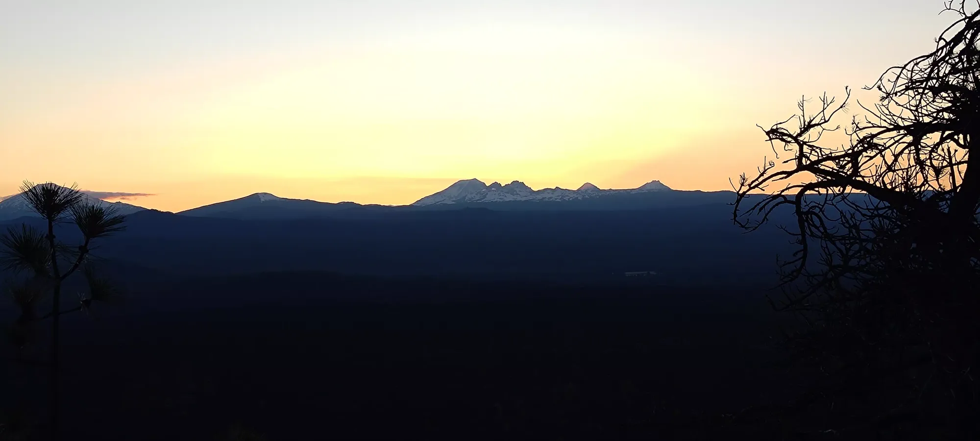
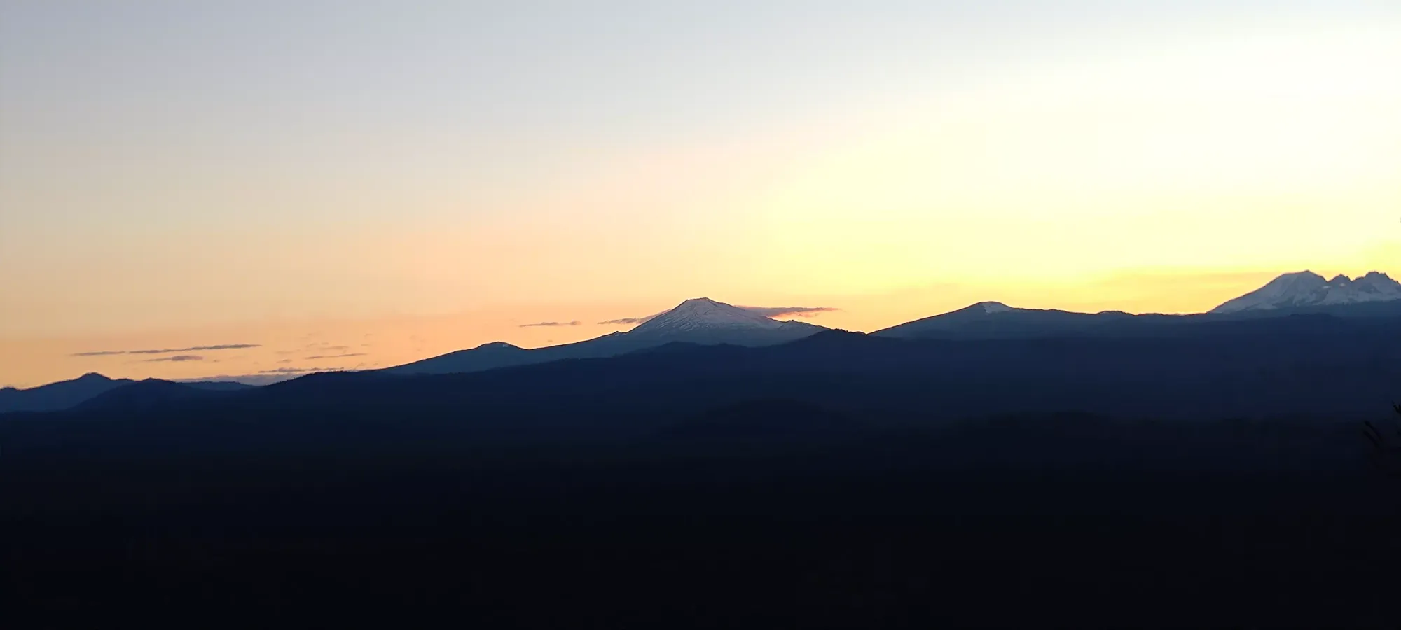
From the road, I spent the next 5 minutes walking about 400m and gaining 50m to reach the top. I shortcut the road to hit the crater rim trail, which saved a bit of distance, although on my way down I noticed a sign noting that was actually discouraged (oops). I took some photos in the nice sunset lighting, though I tried not to spend too long since Nick was waiting down in the car. There is a parking lot just below the little lookout tower at the top, so it seems like you can get up when the gate is open, just not this late in the evening, probably. At least we got to avoid the entry fee that would be charged at that time?
I decided to take the road down instead of the rough scree I'd taken up, figuring that it would be safer in my poor footwear and hopefully faster. It was about 2.2km, it turns out, so that didn't make for a particularly fast loss of ~150m, but I tried to make up for that by jogging down. Given I'd already done Bachelor the same day, I couldn't do so without a limp, so I wasn't particularly fast, but I still managed to keep my heart rate up and work up a good sweat 😅
With the slower trail part up top, stopping to put my earphones in (can't go jogging without music!), and picture time, I took 15 minutes to get down, making the entire outing about 45 minutes total. A bit longer than the "no more than 5" I'd initially promised 😅, but gates do be like that sometimes, I guess 🙃
Since the outing was so much longer than expected, we just called it there, got some ice cream, and went back to the hotel for my second shower of the day, and to get to bed in time for the next day's adventure.
As for "should you come here", I'd say "probably". It's a great, accessible spot for nice views with the non-intense peakbagger/hikers in your circle. If you are an avid peakbagger, it's a quick stop for a p100, so "why not" 😄
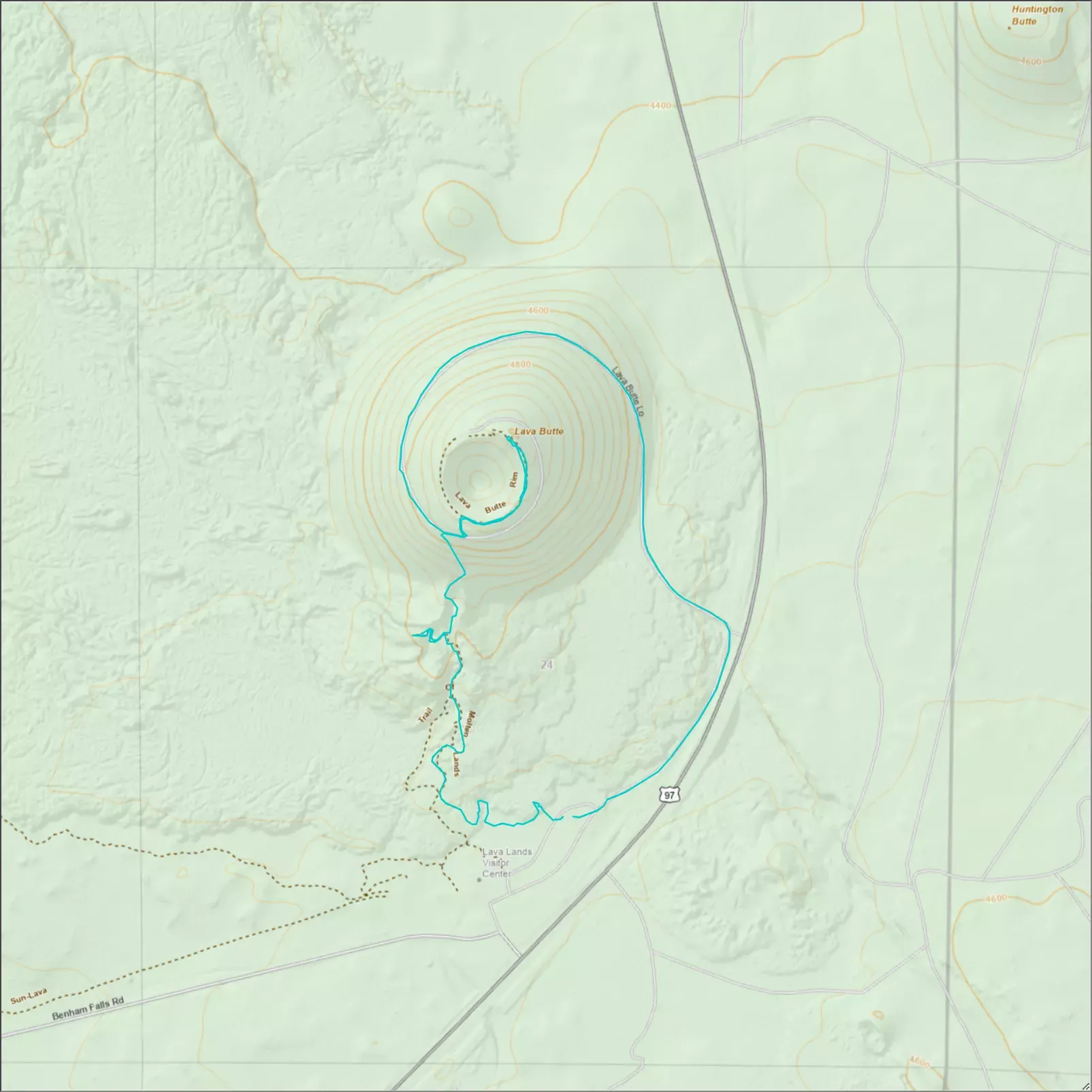
GPX Track + Map