Kilohana (Haleakala area) - January 14 2024
A small high point on the NE ridge of Haleakala's crater, easy enough to tack on to a summit day

East Maui, Hawaii, USA
2914m
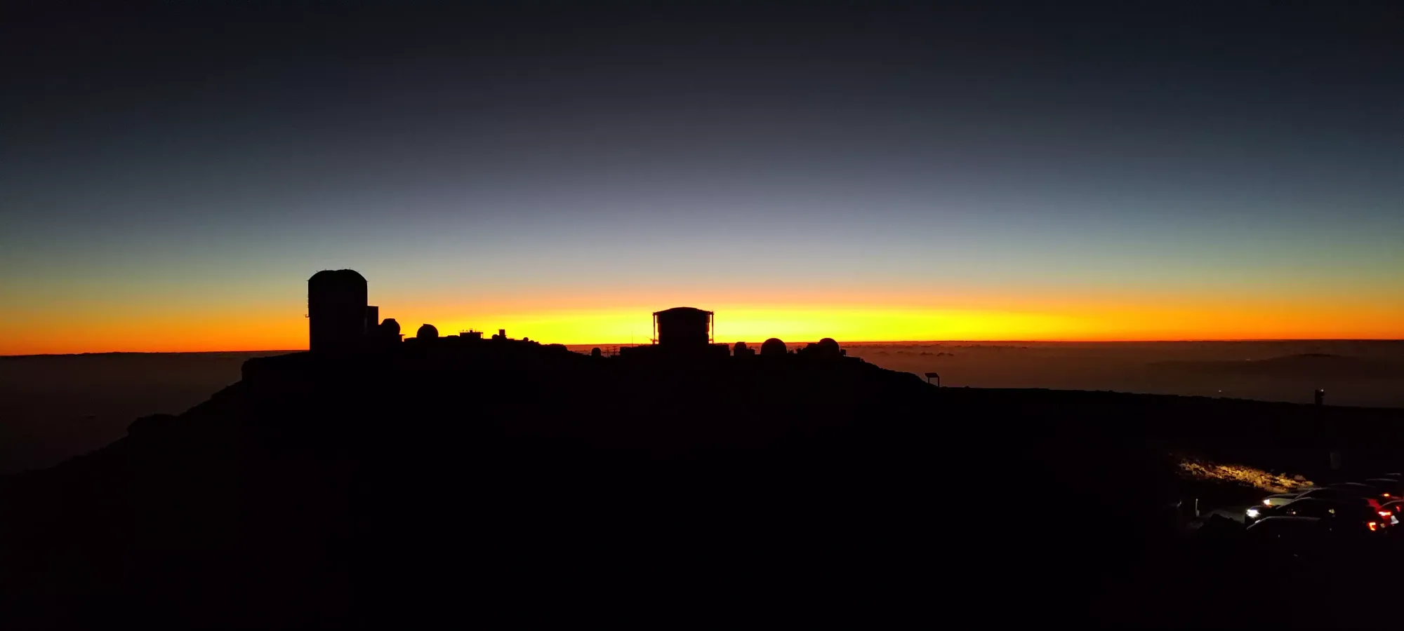
After bagging Haleakala proper and watching the sunset+night sky, we had to make our way down the mountain, but of course, one does not simply descend Haleakala. One must stop for one last trashbag along the way!!
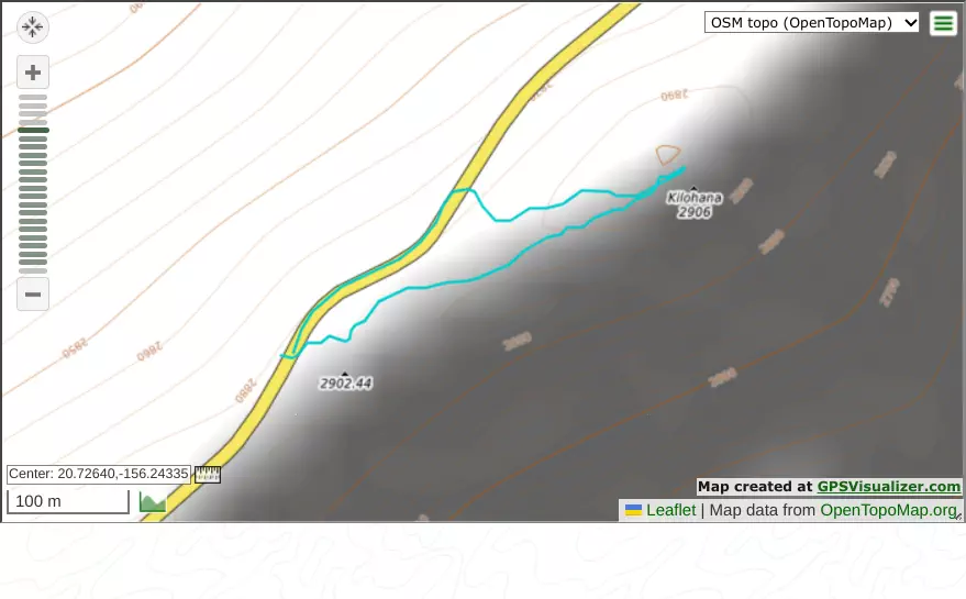
I had mapped out a rough idea of how to bag this before, so on the drive down, we just kept our eyes peeled for a space big enough for a car to fit, and pulled out when we found one, which happened at around 2880m elevation. Here, my dad waited at the car like a normal person while I dashed out with my headlamp and nothing else to quickly tag the top and get back before it got too late, as we still needed to eat dinner.
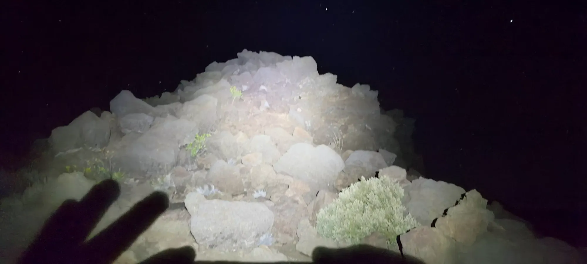
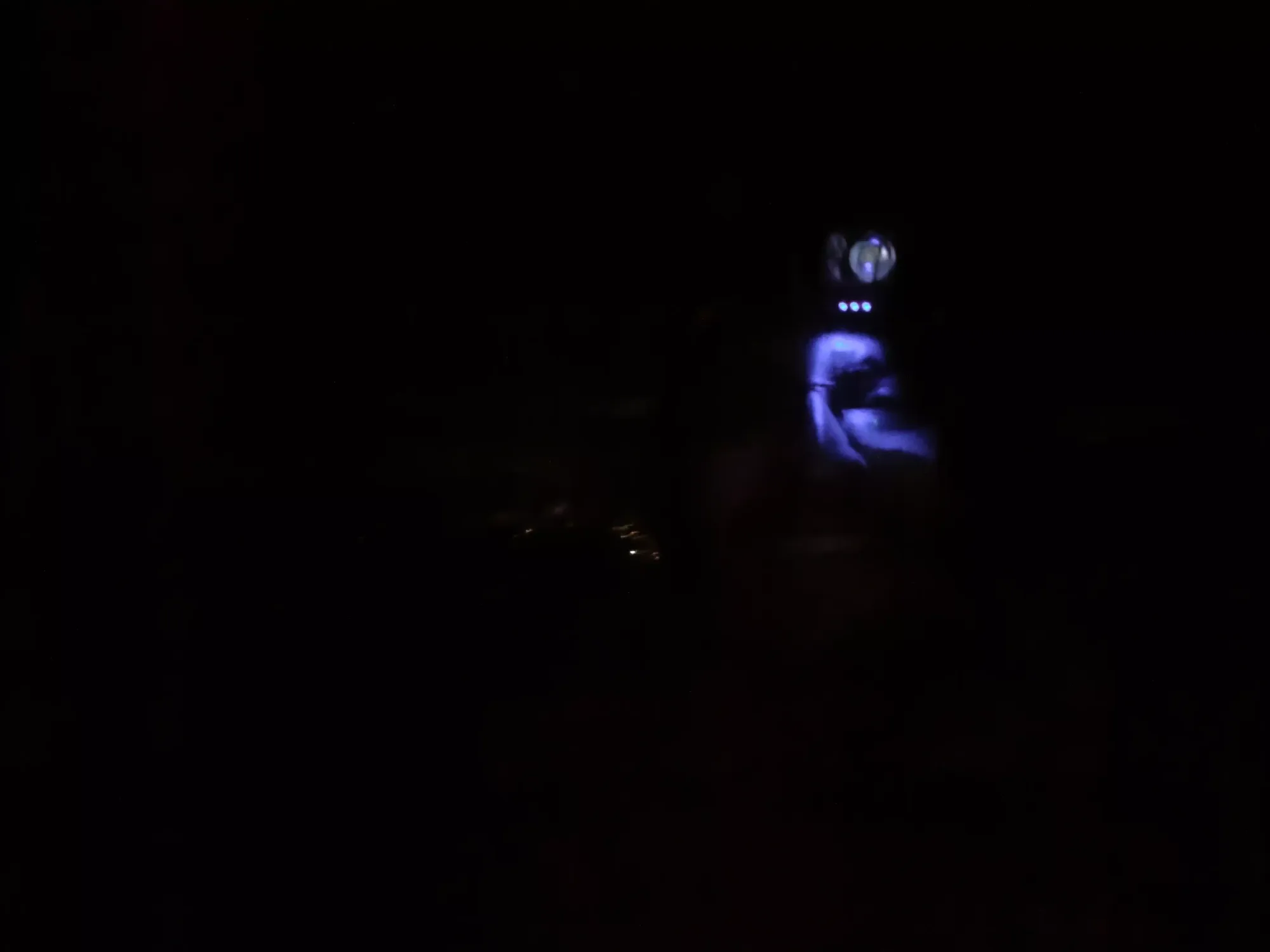
The first 3 minutes or so were slow (relatively speaking) as I had to walk between and over some rockier terrain to gain the ridge and try to get my bearings towards the true summit. After I made it past the first couple hundred metres, though, there was more open, soft dirt, and travel got a bit easier. That went back to the way it was in the beginning fairly quickly, though, and the last minute or two even had a couple class 2 scrambling moves thrown in for fun before I finally found myself on top, with a small bit of scientific equipment to keep me company.


With that out of the way, I started cutting a more aggressive line down, which ended up being easier terrain, and I joined the road a bit further down, which was good on foot due to the easier terrain, but wouldn't work without a 4x4 due to the lack of space for parking a vehicle on the shoulder of the road. Since my dad was waiting above, though, I got to enjoy the easier road walk back, and returned in under 15 minutes, finally ready to actually descend. This is just a random trash summit, but hey, it's on maps and the internet, so good enough for me 🤷♀️.
GPX Track + Map