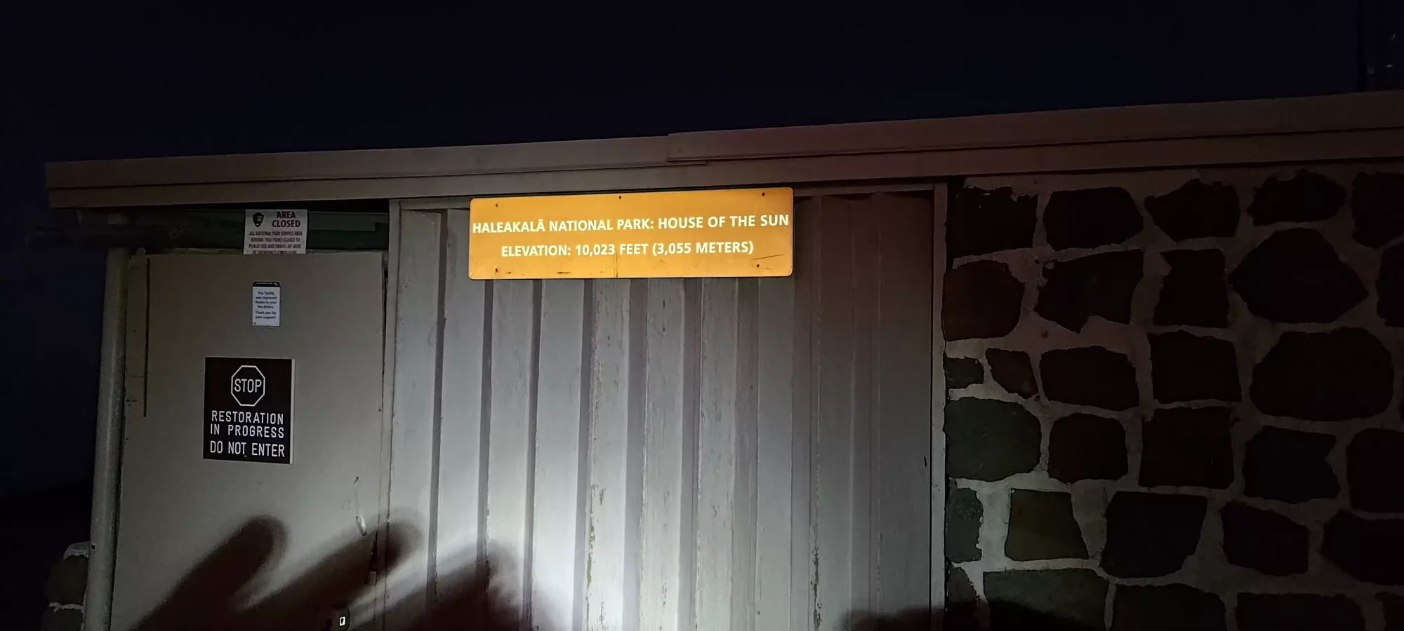
Haleakala - January 14 2024
One of the easiest ultras you can bag, a scenic drive up to the high point of Maui with excellent sunrise/sunset views, stargazing, and some small peaks to claim along the way too!

East Maui, Hawaii, USA
3055m
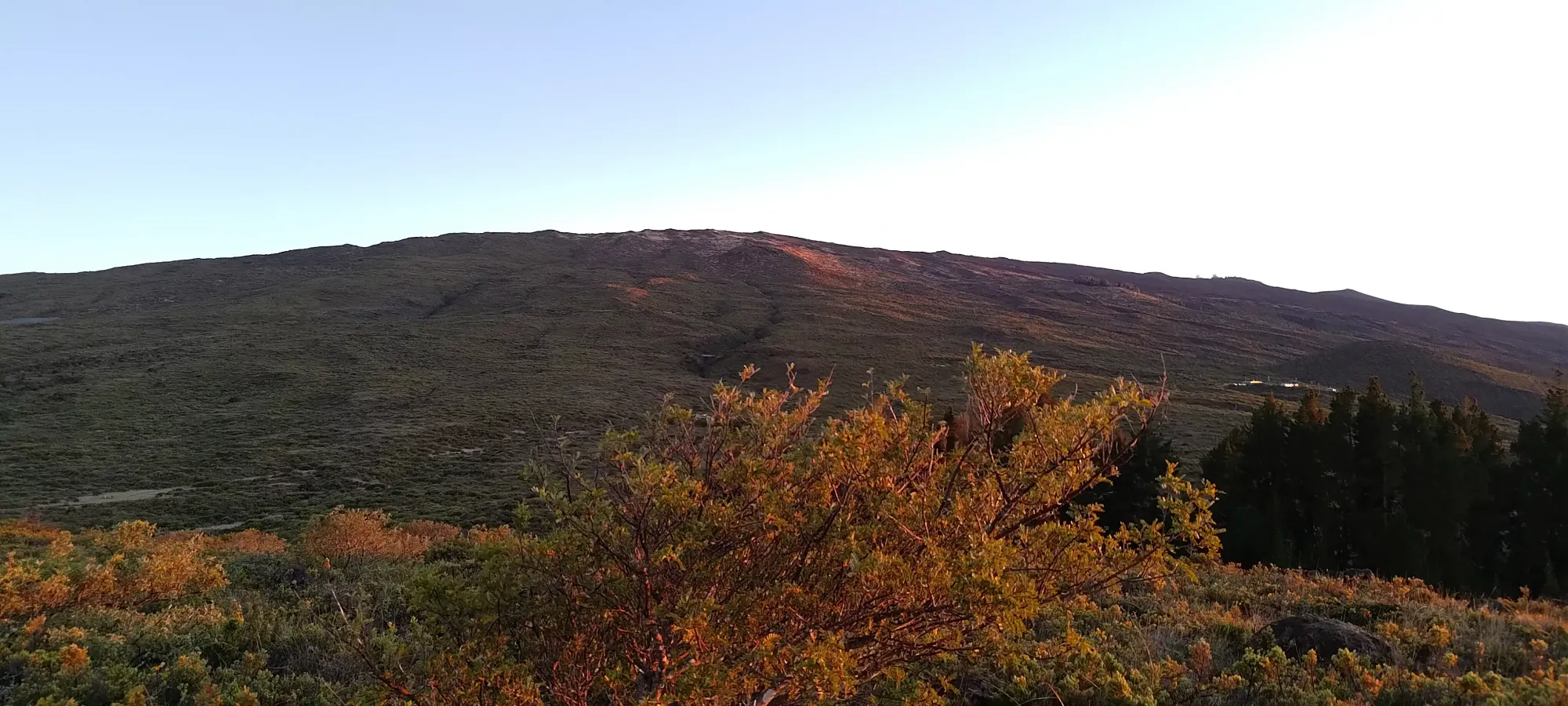
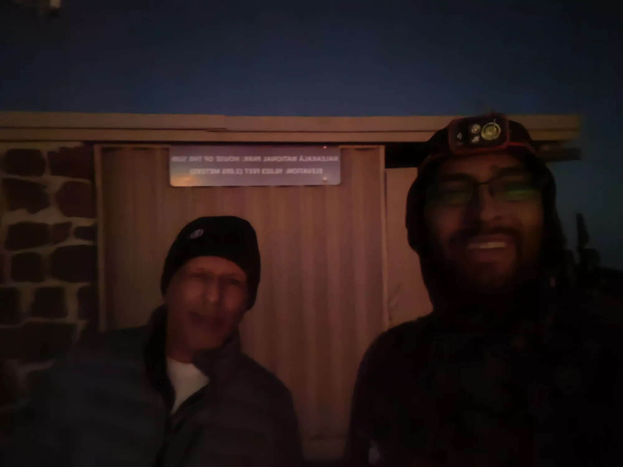
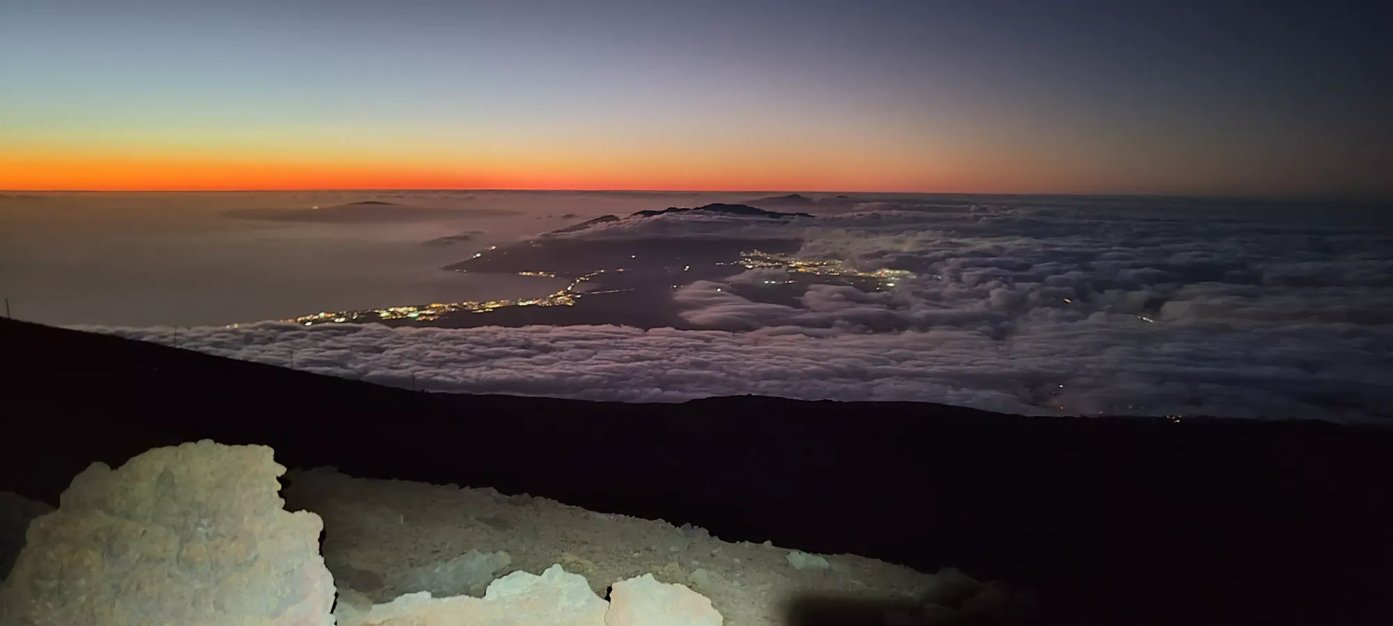
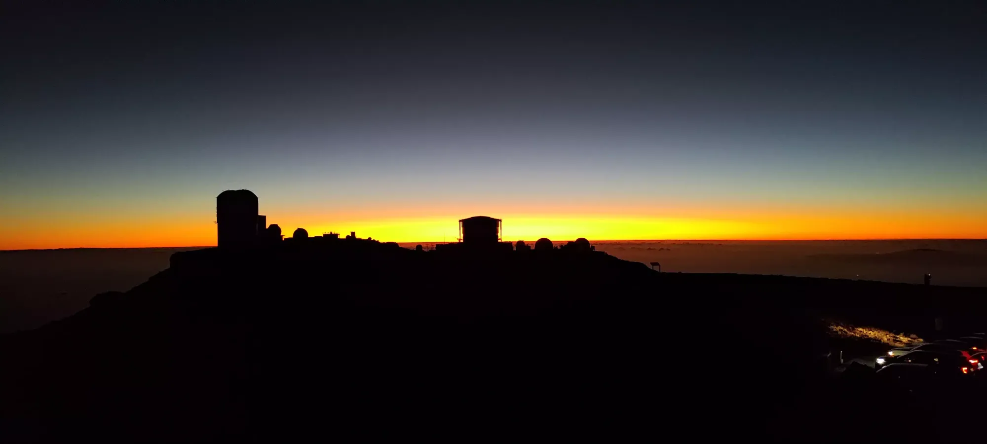
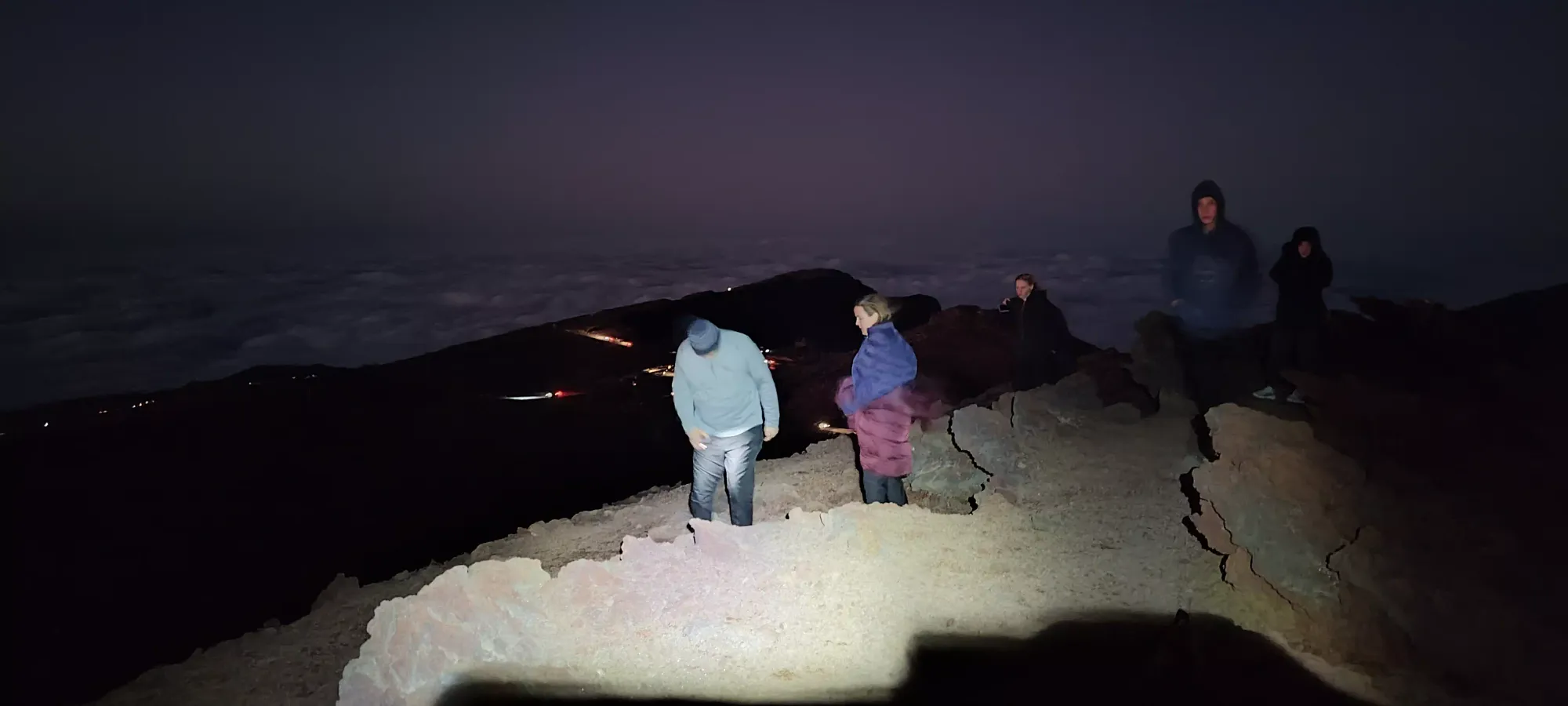
After a bit of a late start to the day, and spending a few minutes bagging Pu'u Nianiau on the way up, we were racing the sunset clock to try and get up to the top of the Haleakala road by sunset. We managed to get up top at around 6:30 or so, where me and my dad walked up to the top, and enjoyed some sunset views. He was feeling the altitude a bit, though, so we didn't stay out for too long, and he went back to the car to relax for a while to wait for stargazing time to begin. In the meantime, I strapped the headlamp on, and went on my little trashbagging mission to get all the sub-summits over and done with while we waited for true darkness to fall. Of course, I totally overlooked one of them, so eventually I'll have to come back for "White Hill", but oh well, at least I got the actually important one.
Haleakala
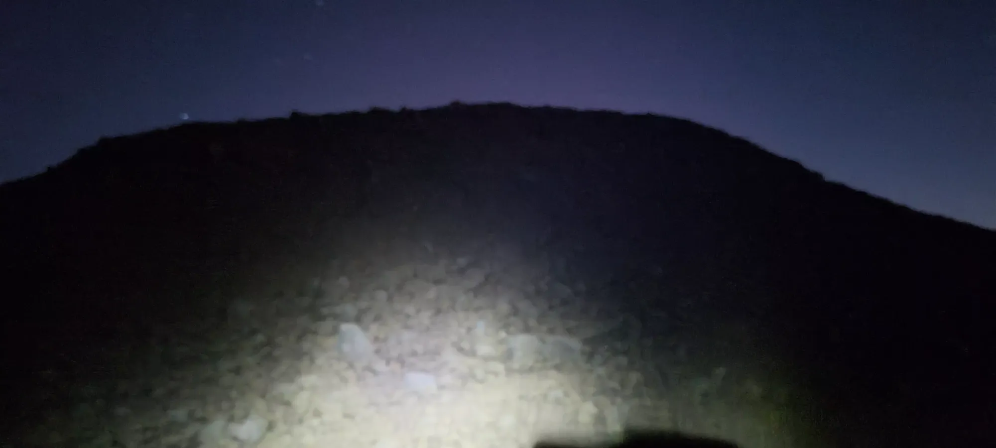
After giving my dad the car keys and making sure he was okay to sit and wait (or descend if he didn't start feeling better with the elevation), I set out to walk up the small rocky hill on the north side of the parking, unsure as to whether it was the true summit or if the cabin was, so wanting to just get both. I wandered up to that high point, then retraced to the cabin to get it on my GPX, then started figuring out my strategy for the other high points I had roughly mapped out beforehand.

Magnetic Peak
East Maui, Hawaii, USA
3055m
Once I was on the top by the cabin again, I checked my maps and determined that Magnetic Peak was the closest, so I decided to go for it next. The descent off of the summit of Haleakala was a fairly simple, if steep walk down some loose dirt+scree, which it turned out after a couple minutes could've been substituted for just "walking down the road", but 🤷♀️. That brought me down to about 3025, with around 25-30 to gain back to the top of Magnetic Peak.
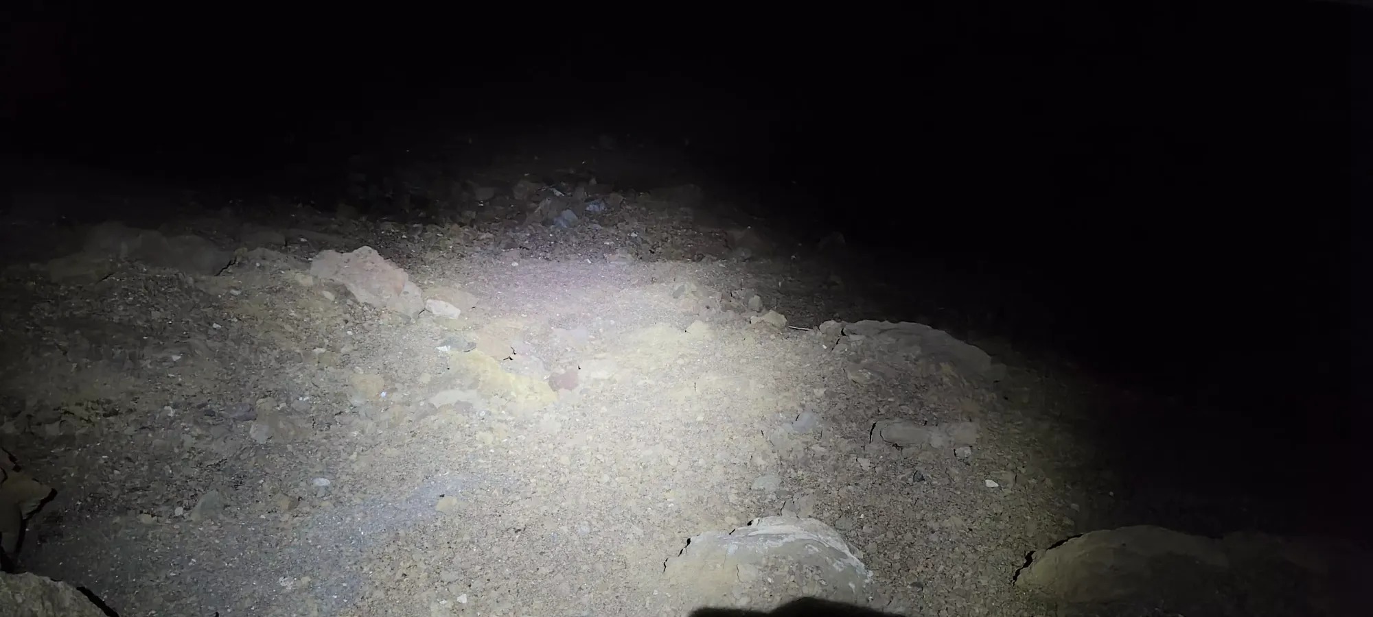
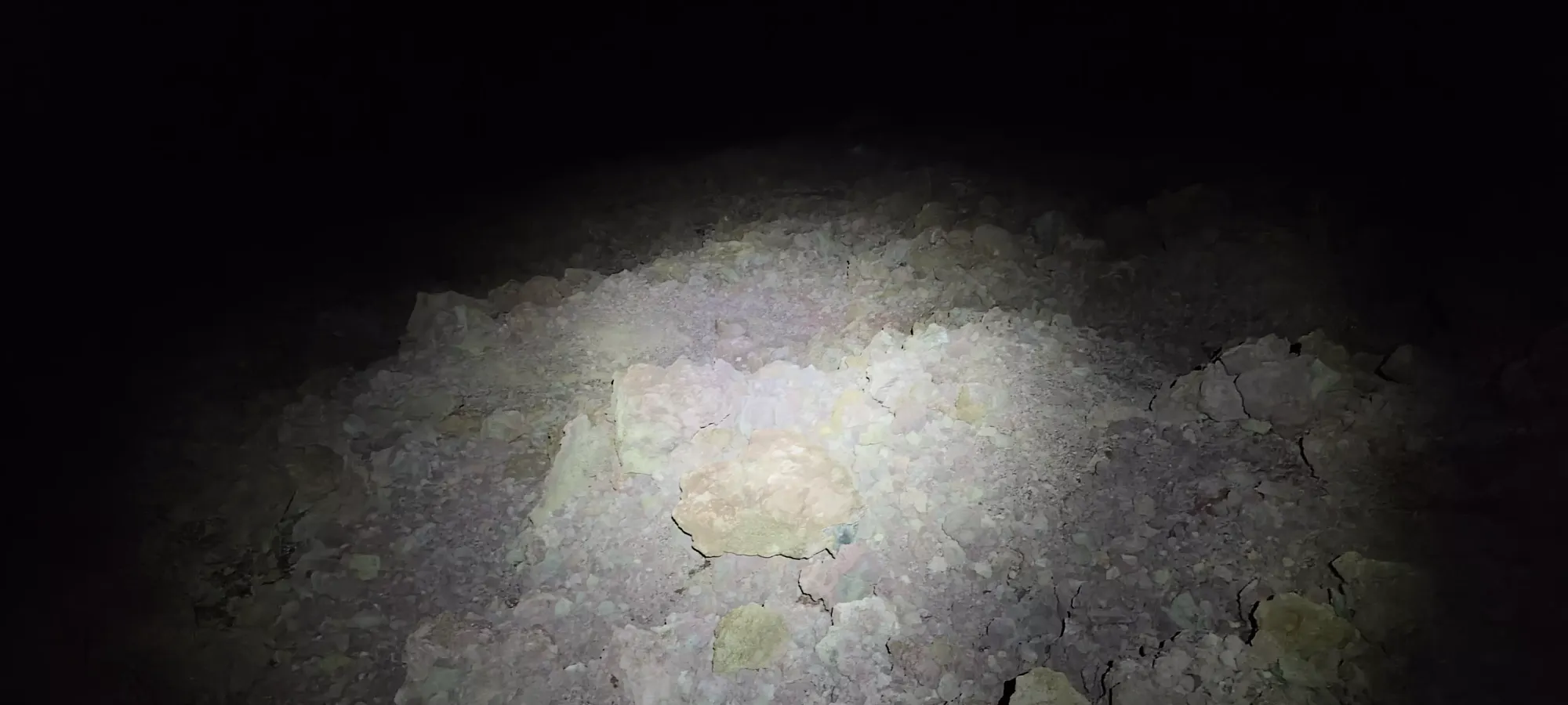
Ascending the peak was also fairly simple, as there were many trail-like paths of dirt through the rocks, and even without sunlight or any real preparation/meaningful research, it was easy enough to just walk up until up did not exist anymore. A couple minutes, and I had another peak down!

With that done, I retraced my steps to the road, and set off to the west for the last peak (that I remembered to map out), Kolekole.
Kolekole
East Maui, Hawaii, USA
3052m
There was a short road walk to the bottom of the col between Magnetic Peak and Kolekole, which more or less stayed along the 3020m contour. Before it started climbing, there were some ominous signs about the US Government, Air Force, and other various scary things, but there were also a couple signs about trails and "things that wouldn't get you shot", so I pressed on doing my best to avoid anything that might say "you'll get shot by an F-35 if you come here".
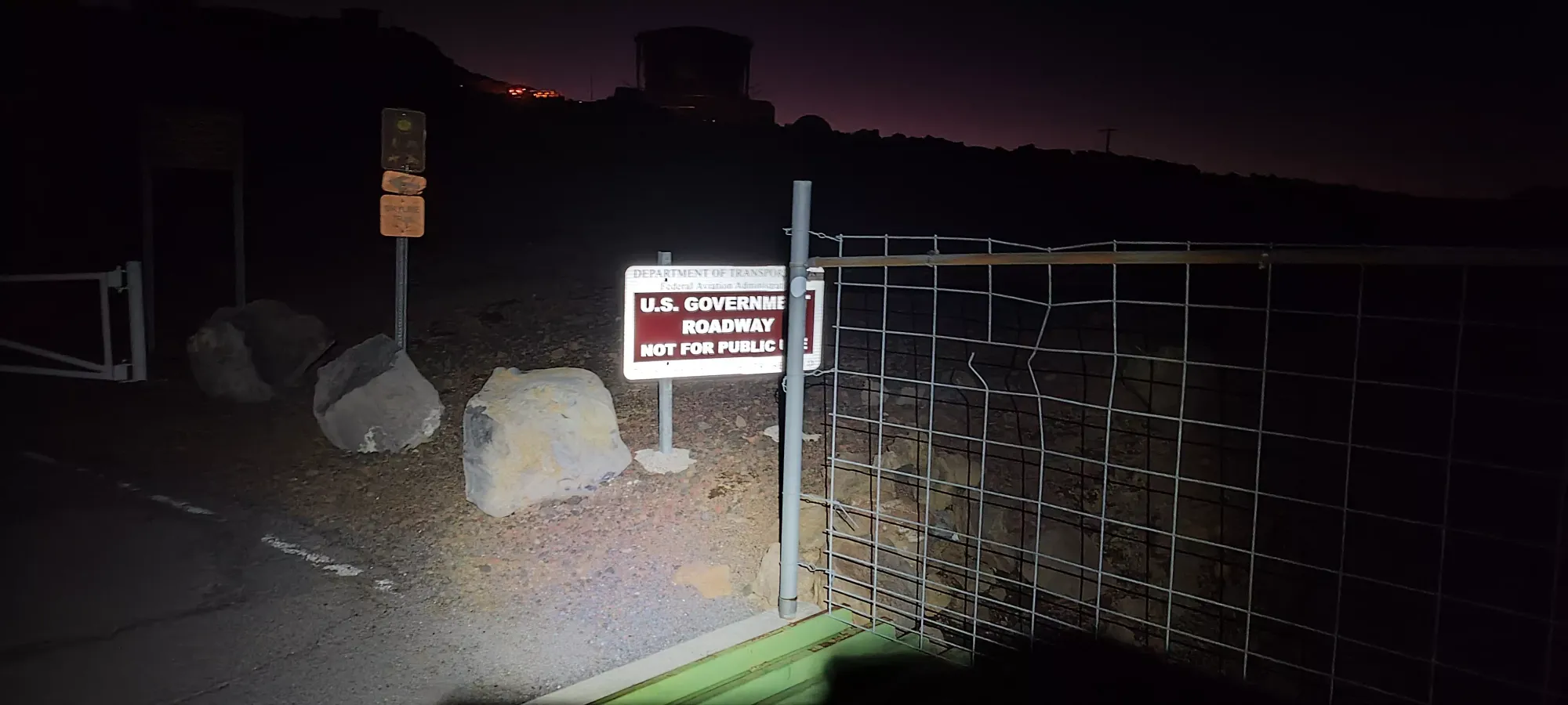
Soon after I crossed past the open gates (make sure to watch your footing here, the grates in the ground are widely-spaced for walking), I saw a sign indicating that one should not have lights other than parking lights when driving so as not to disturb the equipment, so I swapped my headlamp to the lower green-light mode, and started treading a bit more carefully. At the top of the road where buildings started appearing, I met a lady closing the gate behind her car after driving through, who asked how I was doing, and notably did not say "please leave you trespassing tourist", so that gave me some confidence.

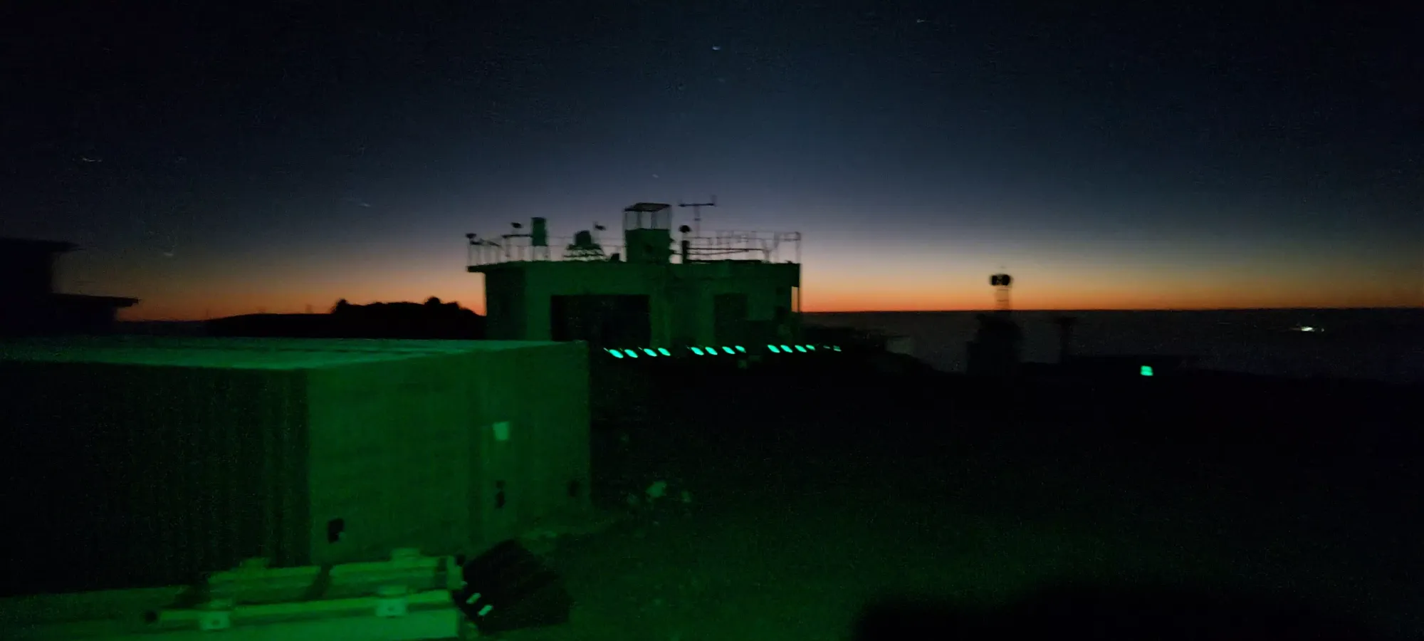
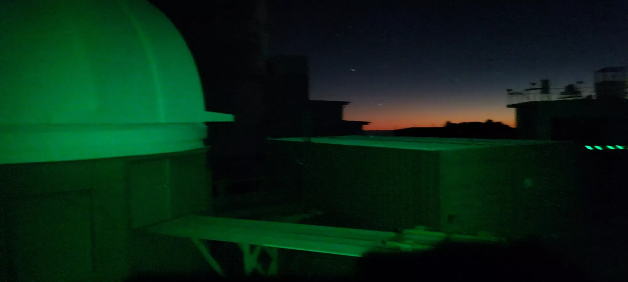
A few different buildings near one high point
At that point, I did decide to cut up the rocky hill further to climber's left instead of going right towards all the buildings, just in case. This meant doing a small amount of scrambling, though that can be avoided, as I did on my way down. Or, of course, you can walk the road if you don't think you'll be shot/arrested. I took a couple pics where that hill topped out before realising the road continued further into the compound, and kept going uphill, so I pushed a bit further.
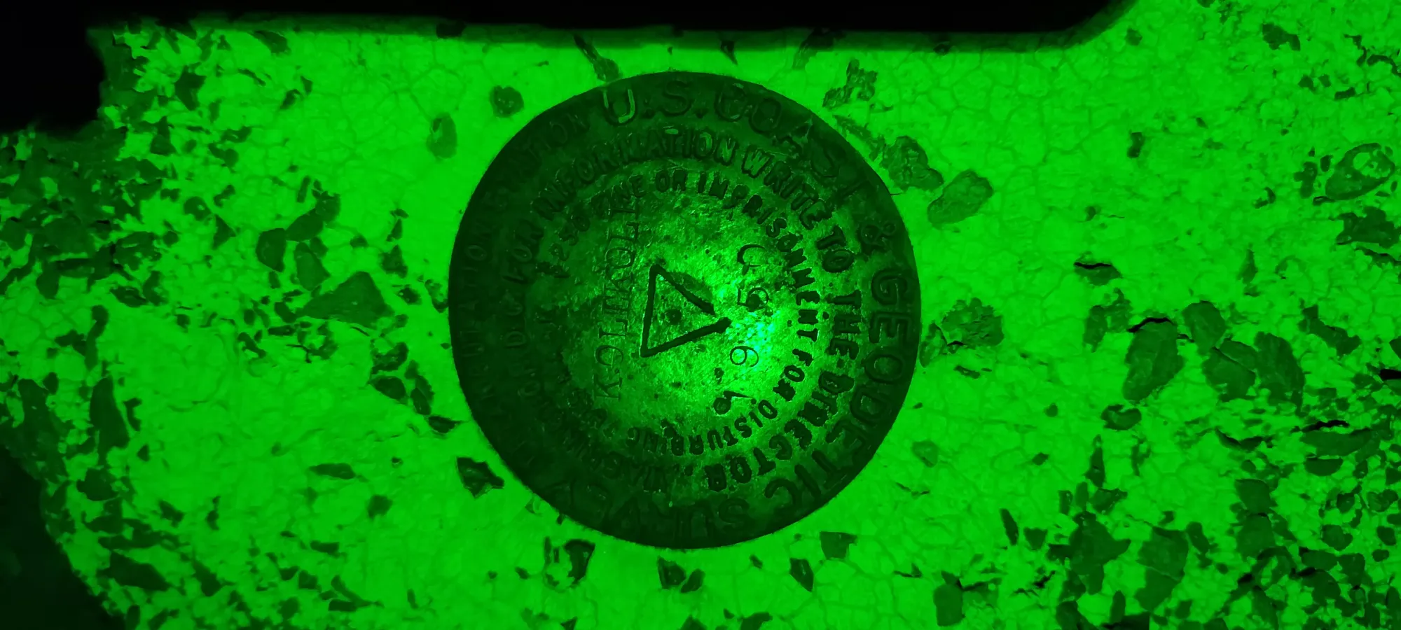
After another minute or two, I got to what looked higher than everything else, and given the presence of a survey marker, I considered that to be mission success, snapped a couple quick pics, and got the hell out of dodge with as much haste as I could muster without making more noise/light than necessary.
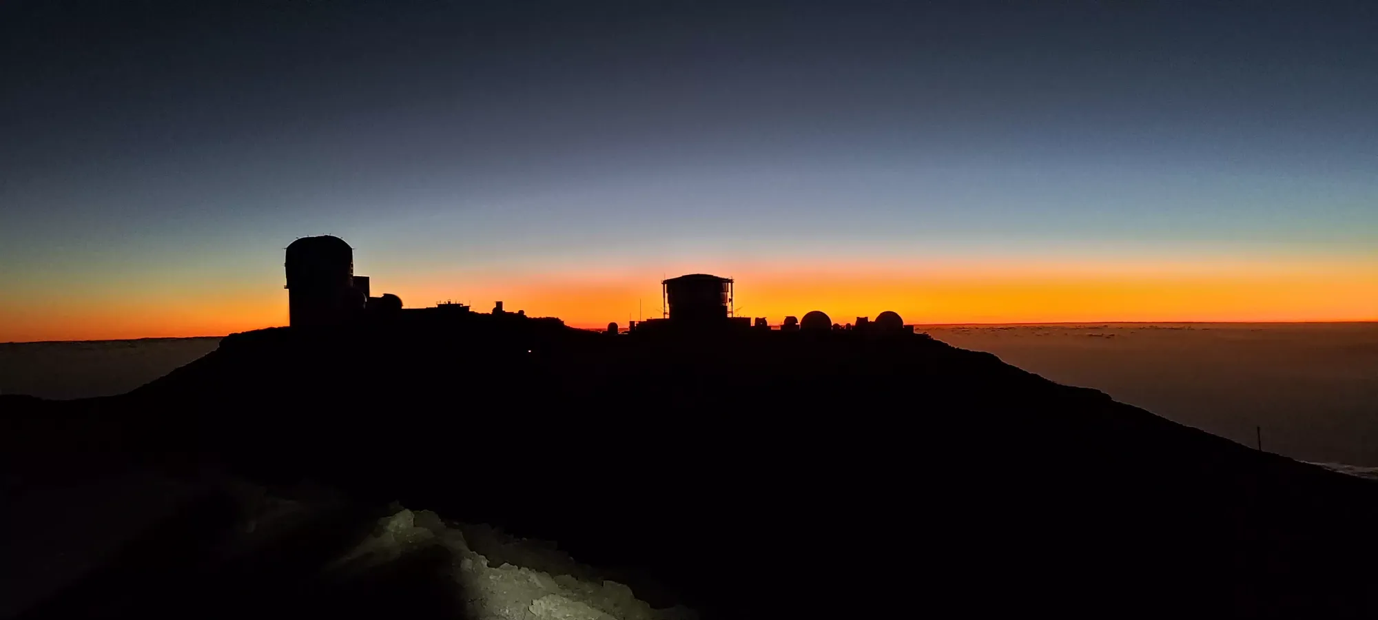
After that, it was a simple road-walk back to the parking lot. I jogged a bit of the road, but made up for that by taking a bio-break before I got to the crowded area full of people. Then, we got to enjoy some stars in the darkness before we started making our way down. Naturally, we didn't just make our way down to town again, but stopped for one more peak along the way, Kilohana.


GPX Track + Map
