Fire Mountain - May 2 2025
A rarely-ascended but prominent mountain, this makes for an excellent trip in the spring (or winter, if you have a sled). Easy forest travel, and very straightforward terrain above. We skied the first internet/publicised descent, and skiing is recommended!

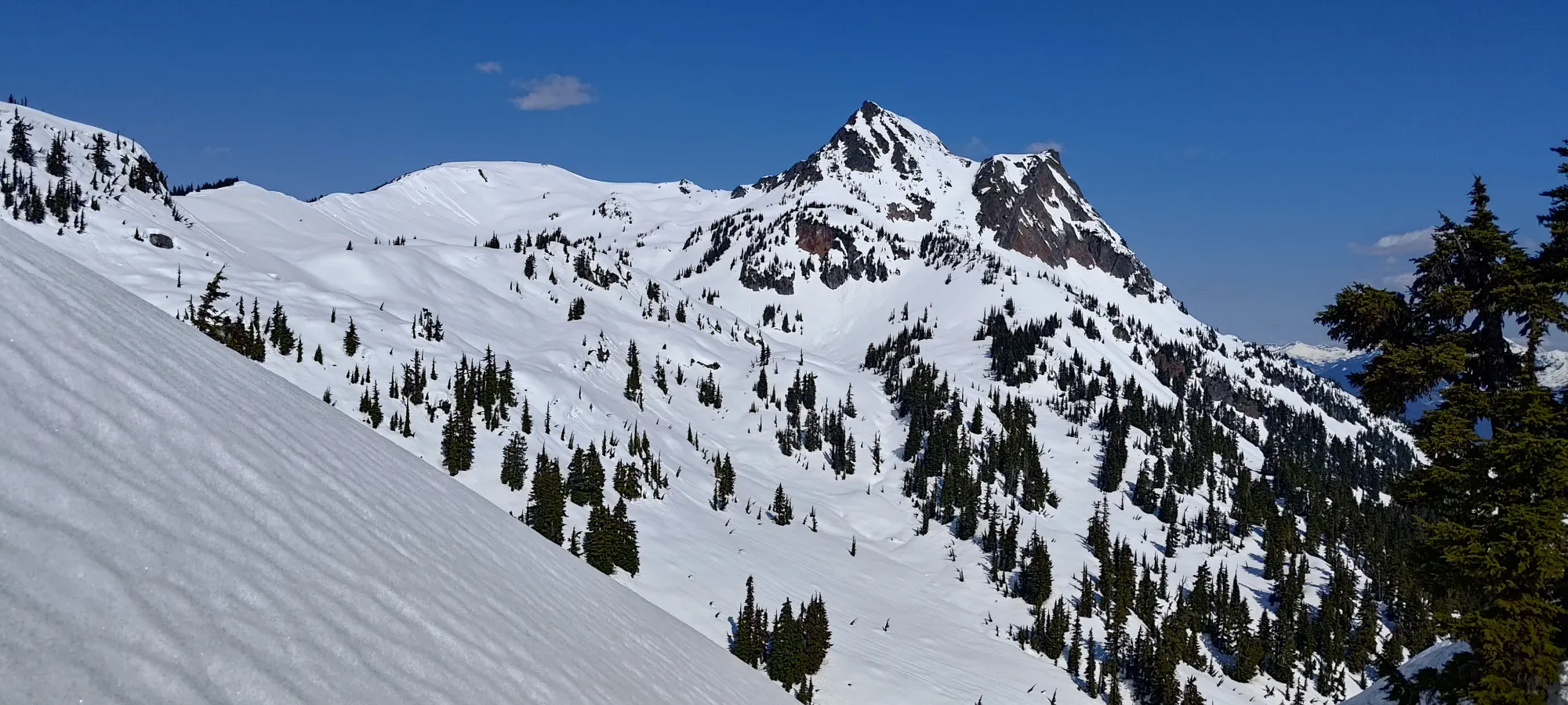
Ember Cluster, Skatin (SkookumChuck), BC
2112m
On the weekend following this day, I had some family coming into town, and as such, I was scheduled to be doing things with them instead of peakbagging. Unacceptable! As such, I was itching to get out before that to try and get a peak in to compensate. Kelly was going on-call soon himself, and was feeling similar motivations. So, I hastily searched through the peaks nearby, and after going between a few options, we decided to go for Fire Mountain. While there was no ski beta on this one, from what I had seen in other trip reports, I figured it would go, and Kelly had apparently recovered enough faith in me after Abercrombie Mountain (I maintain it is skiable, but you really want colder snow than what we had to facilitate this), so he agreed to the idea. We planned to use the relatively new roads on the south side to be able to drive to the snowline, which we knew was close to the road's elevation.
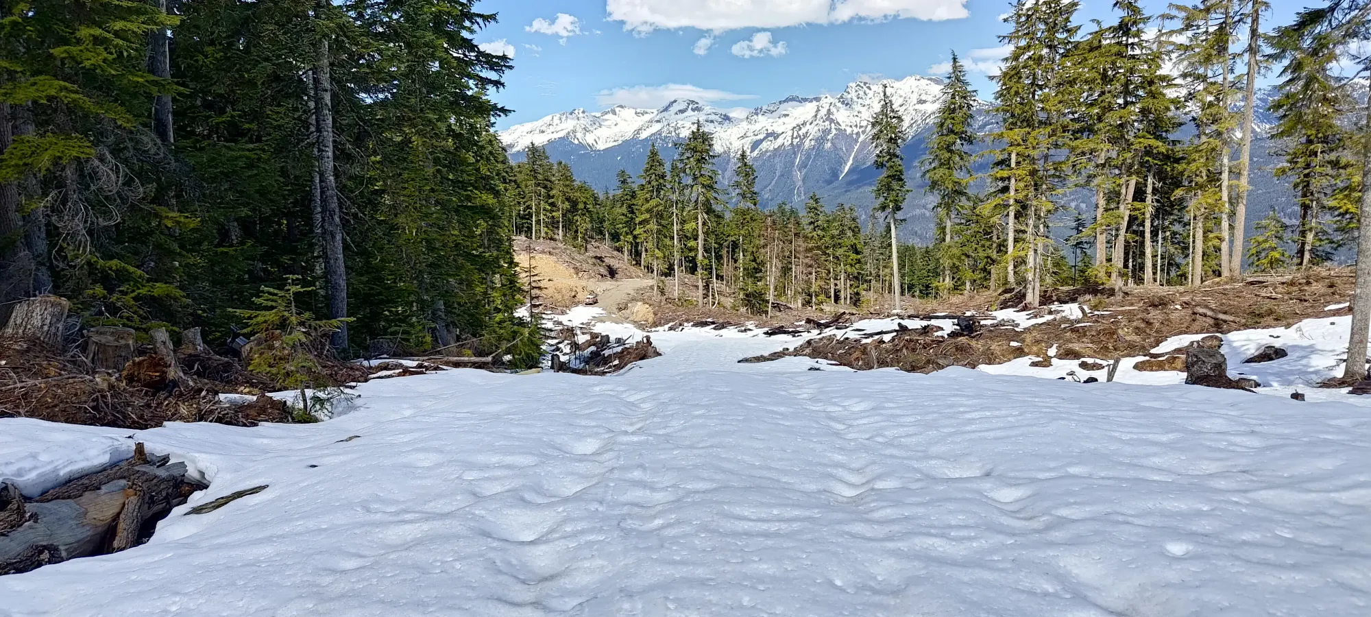
Sadly, there was no overnight freeze, but on skis we had confidence we could manage even if that meant conditions wouldn't be as favourable, so we set out early that morning (but not as early as if we'd needed to time corn o'clock). I drove up to Whistler, and we piled into Kelly's FJ, since most of the driving from there would be on FSRs, which he'd be able to get through a bit easier than my Grand Vitara, since he's got bigger tires. I was thankfully able to use the bathroom in Pemberton before we left civilization, and we had a loooong but simple drive down the In-SHUCK-ch FSR, then onto Fire Lake FSR, and the branches that took us to the snowline at just over 1000m, where we parked and geared up, just before 8am.
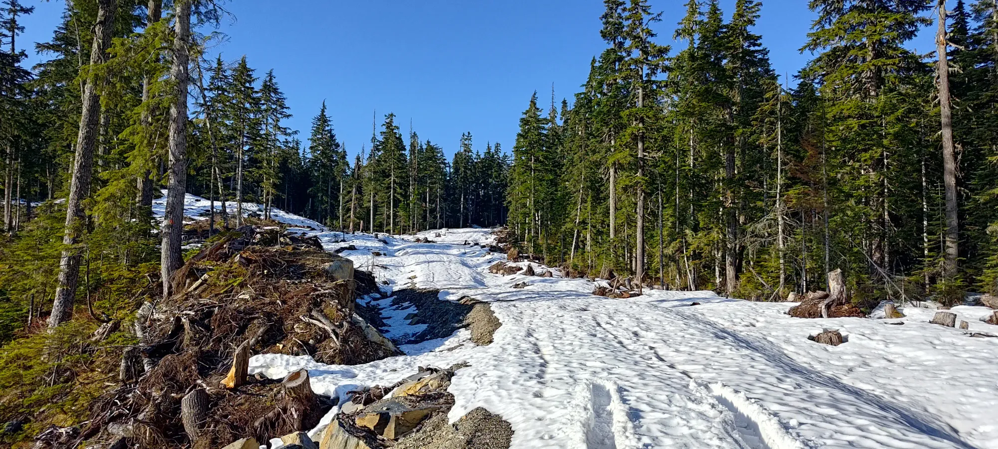
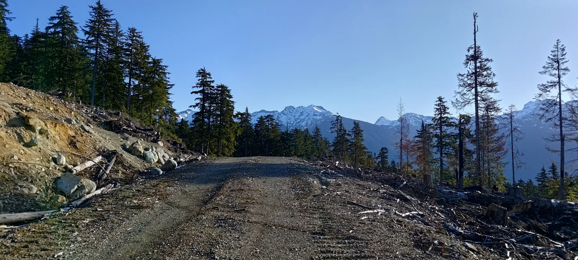
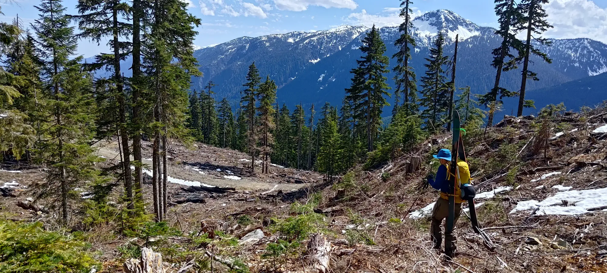
We skinned up the wet snow on that short stretch of northern road, but once it turned west, it got bare again, and we had to put them on our backs and start booting. Not unexpected, but disappointing nonetheless. This was softened by the existence of some undulation on the road in this area anyways, so it would never be "just skiing to the car", and in full snow, you'd probably put skins on for it as well. Unless, perhaps, you just cut a much shallower line through the forest to skirt around it.
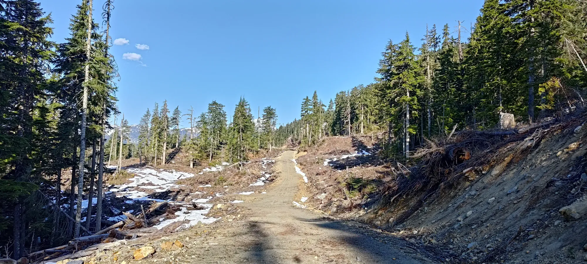
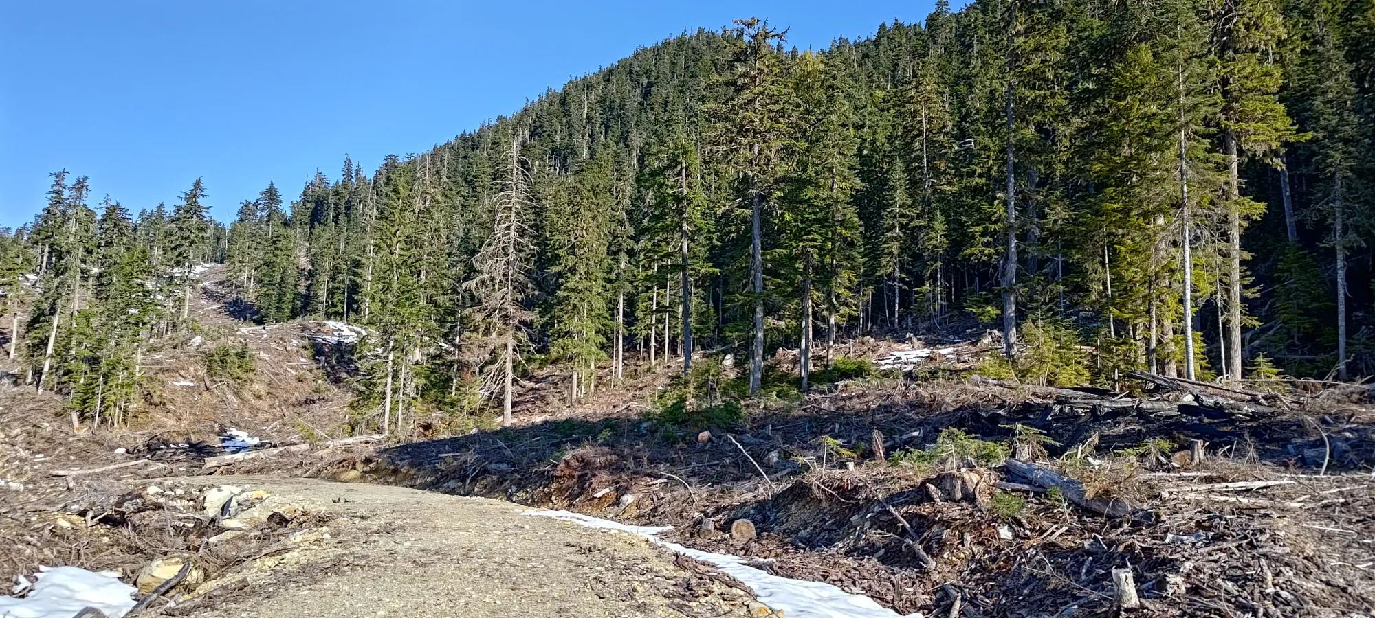
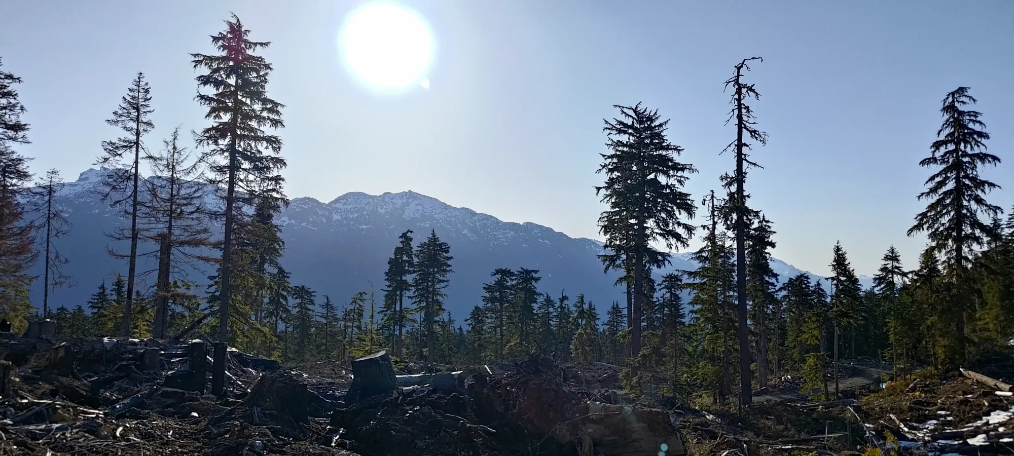
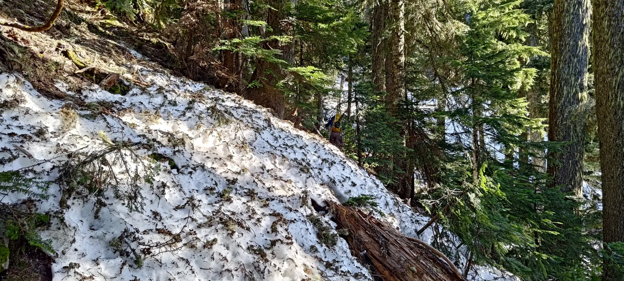
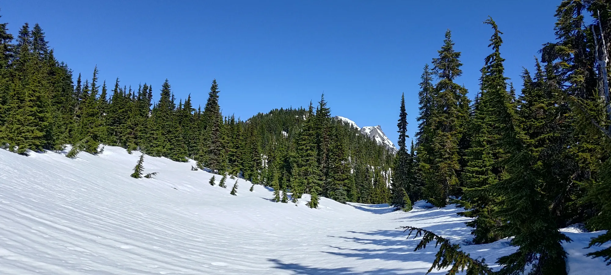
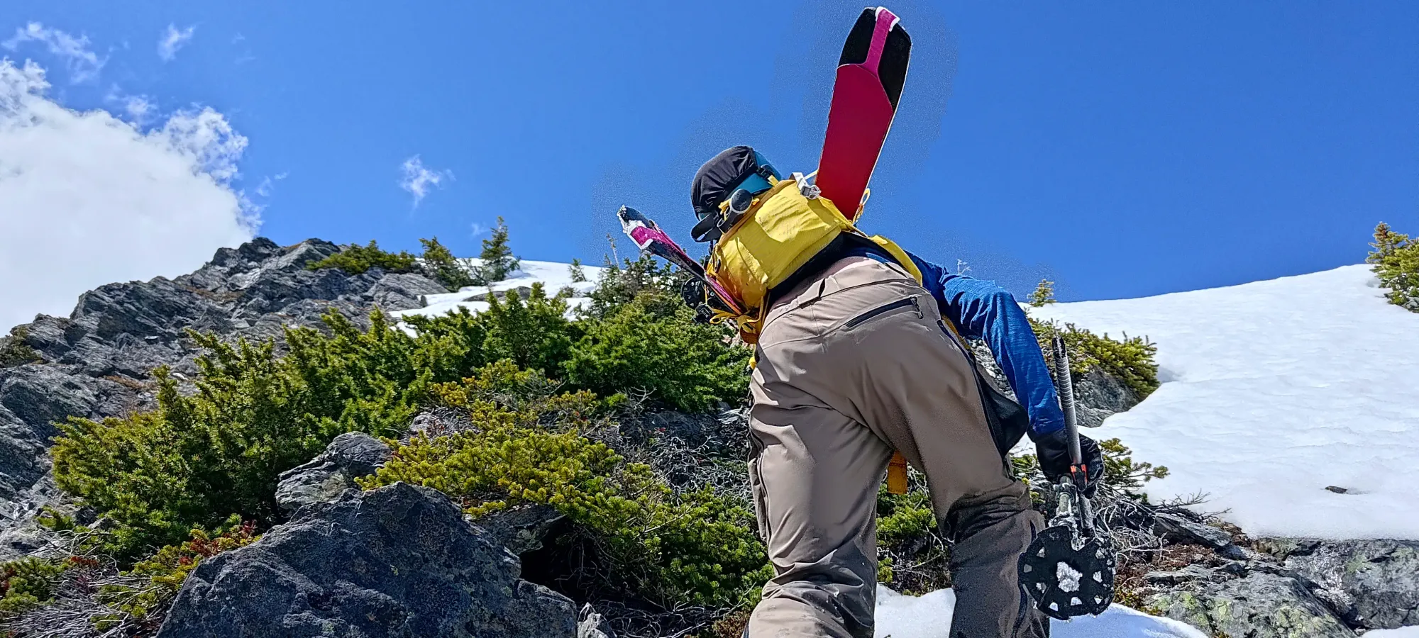
We walked for a total of about 25 minutes before hitting the end of the road, making short work of the cutblock, and entering the forest. We were pleased to see that the beta we had was accurate, and that above the top of the road, at least, the forest was mature and fairly open, so travel was fairly easy. On our route, though, it was quite steep. Ski boots actually were a bit of a boon, as they cut into the soft dirt well, and provided solid purchase.
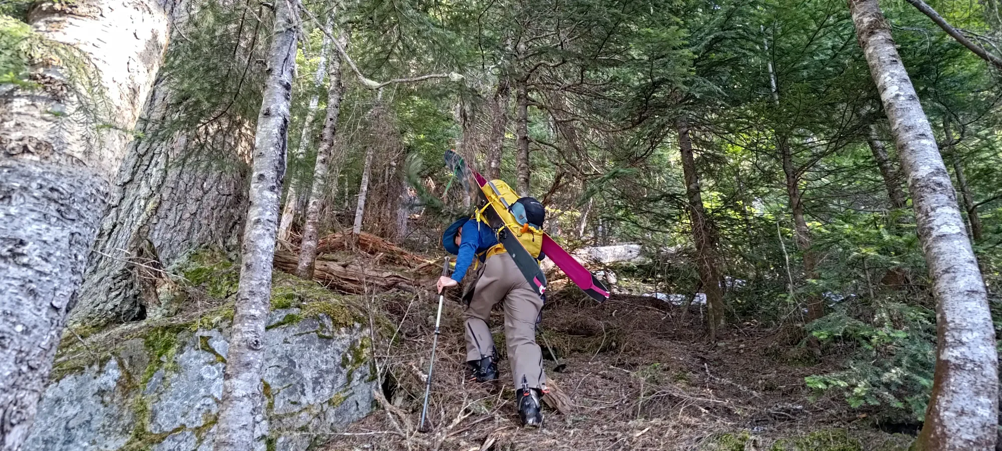
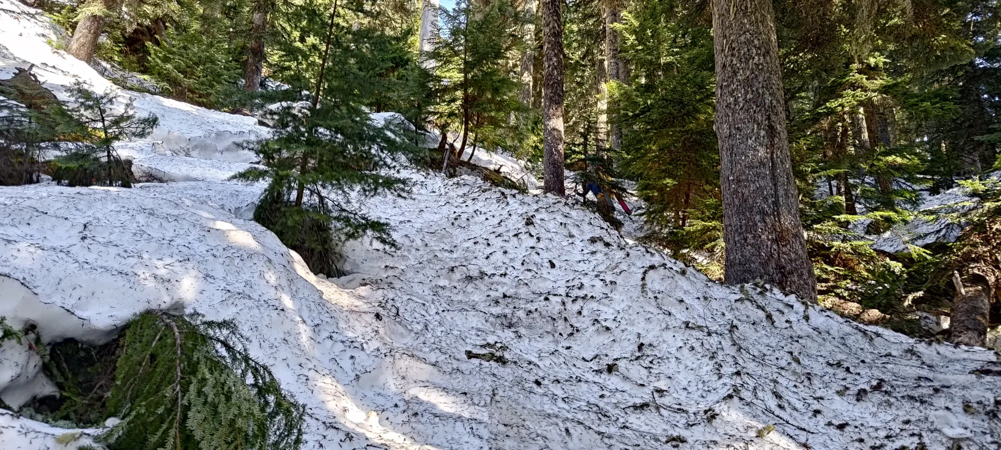
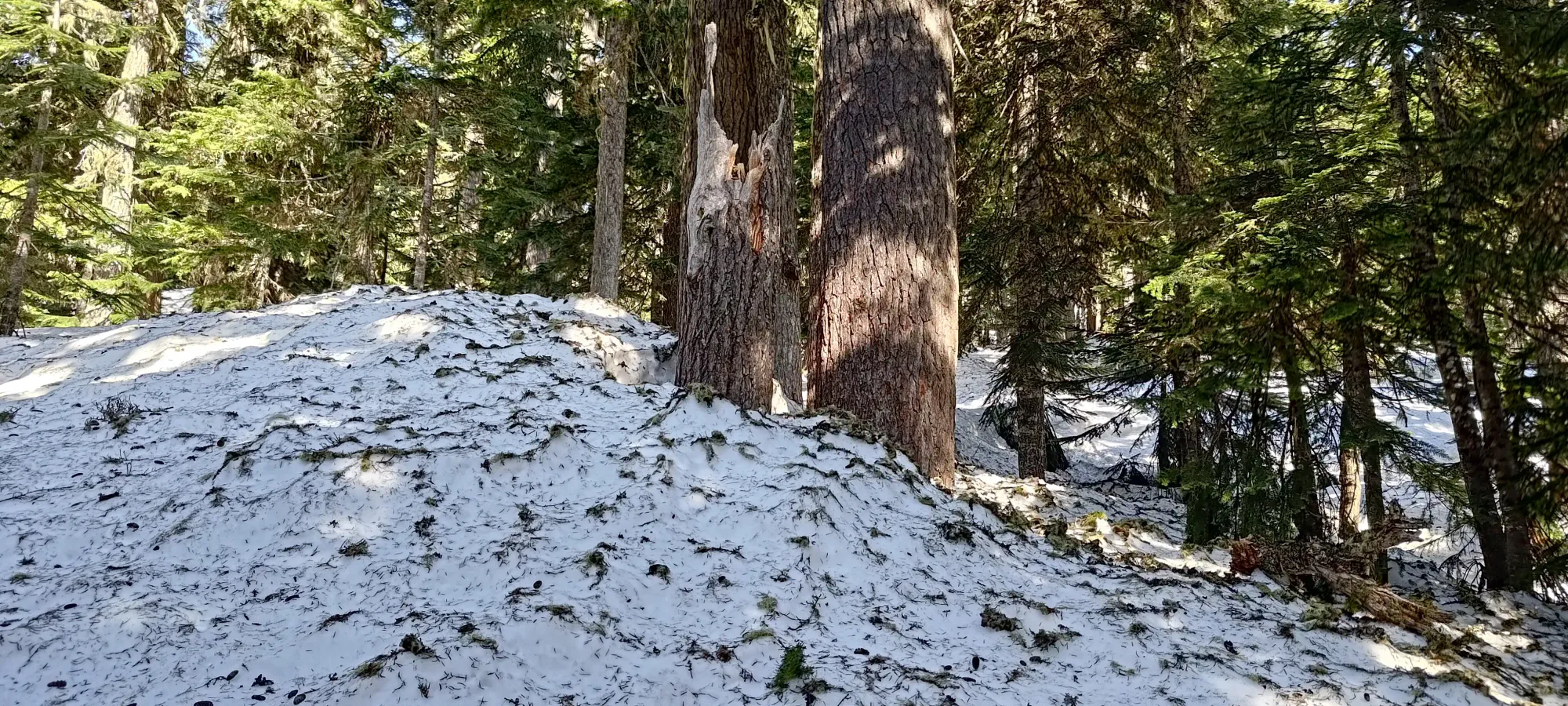
We booted up for the next ~280m of elevation, the first 80m of which were on bare dirt, and the rest on supportive, firm snow. It felt like it was a long time, but I think it was just because we were moving fast, as we were only in this part for 35 minutes. This is what happens when I let Kelly lead 🤣. The snow was continuous closer to 1200m, but we decided to go until the angle eased off a bit, as skinning would've been difficult in such firm+steep snow as we found below 1300m. If you're doing this in earlier season, you can probably just take a shallower line through the forest, and walk less of the road, and be able to skin earlier.
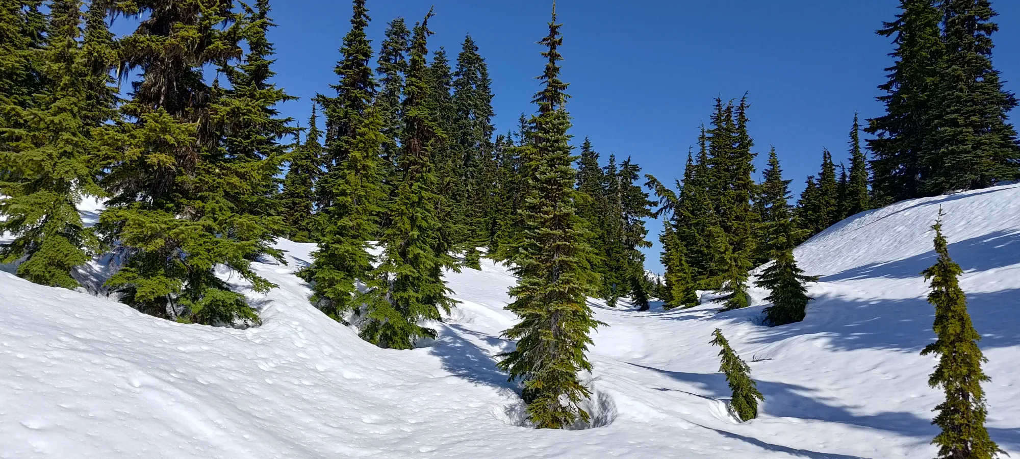
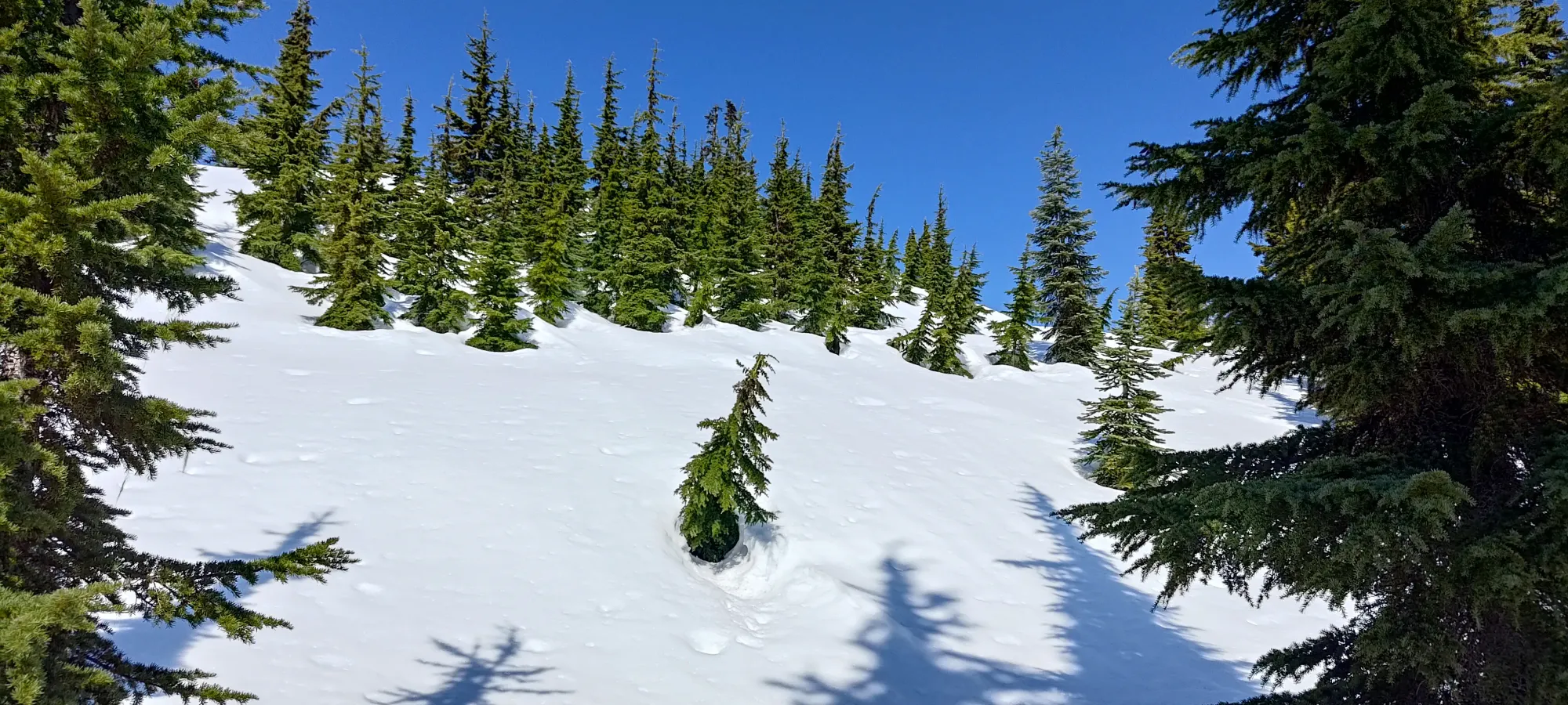
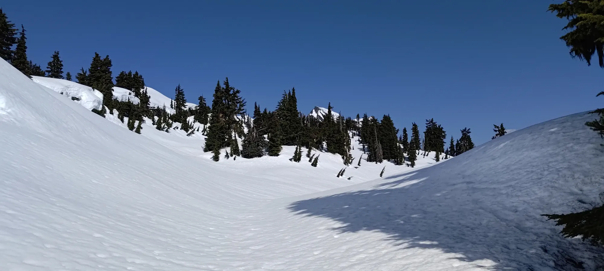
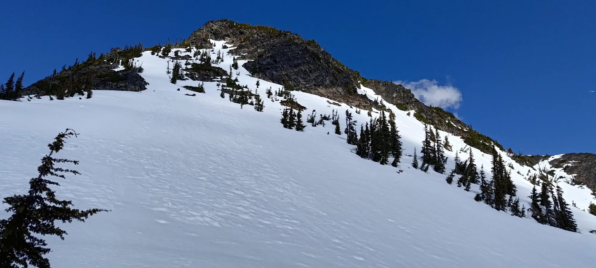
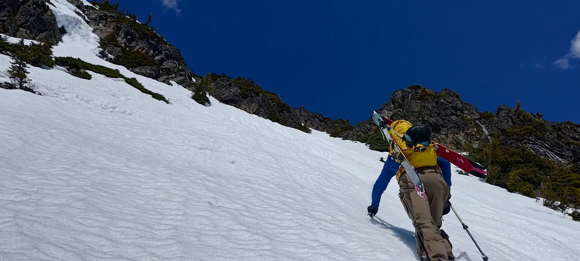
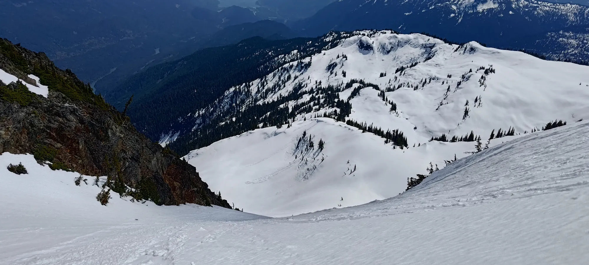
Once we had our skis on, it was my turn to prove that my "it's skiable" theory was true, so I took the lead 🤣. The snow was pretty soft already (given the 7 degree summit temps overnight, not a surprise), but ski penetration was minimal, so travel was fairly easy. There were some undulations in the terrain on this southeast ridge, but with the right routefinding, we largely avoided them, and made our way up through the consistently-thinning tree cover. By 1500m, I'd say we were officially in treeline vs below.
The routefinding in this section was largely about biasing towards the climber's right side of the ridge, and choosing when to stay along a given contour vs punch up to the next section based on the micro-terrain and position of the steeper rolls and sections of denser trees. This was complicated a bit by the wet+loose snow, which made steep skinning more difficult, but even with those more challenging conditions, we picked our way up without too much fuss.
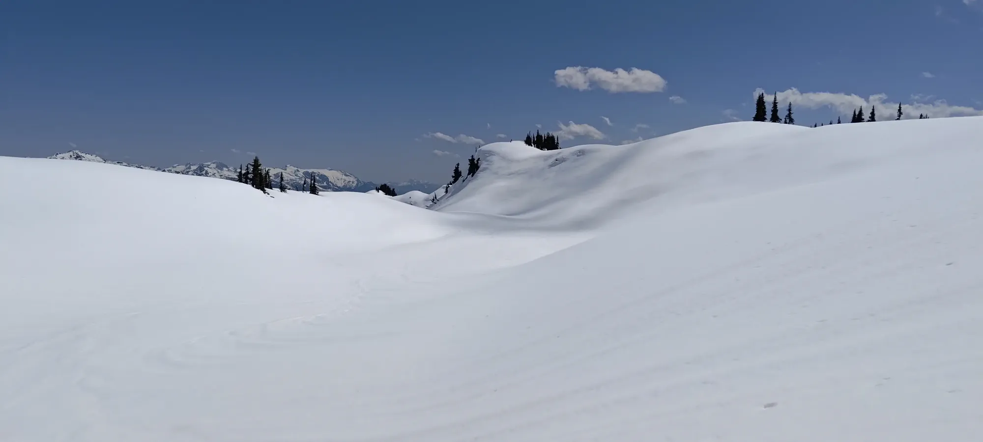
We skinned up in this manner for about an hour, until we reached a point at ~1700m, where we noted a short descent in front of us leading to a wide-open alpine area below us, which seemed to offer a straightforward and safe skin up to the base of the summit area. The alternative was to take the ridge higher and traverse over later, but from what we knew, that would still involve some elevation loss, but overall be more annoying travel, so we decided to just rip skins, have a short break, and then ski down this little section and take the simpler way up. Since things had gone so well so far, we weren't worried about time or effort, so that made the most sense.
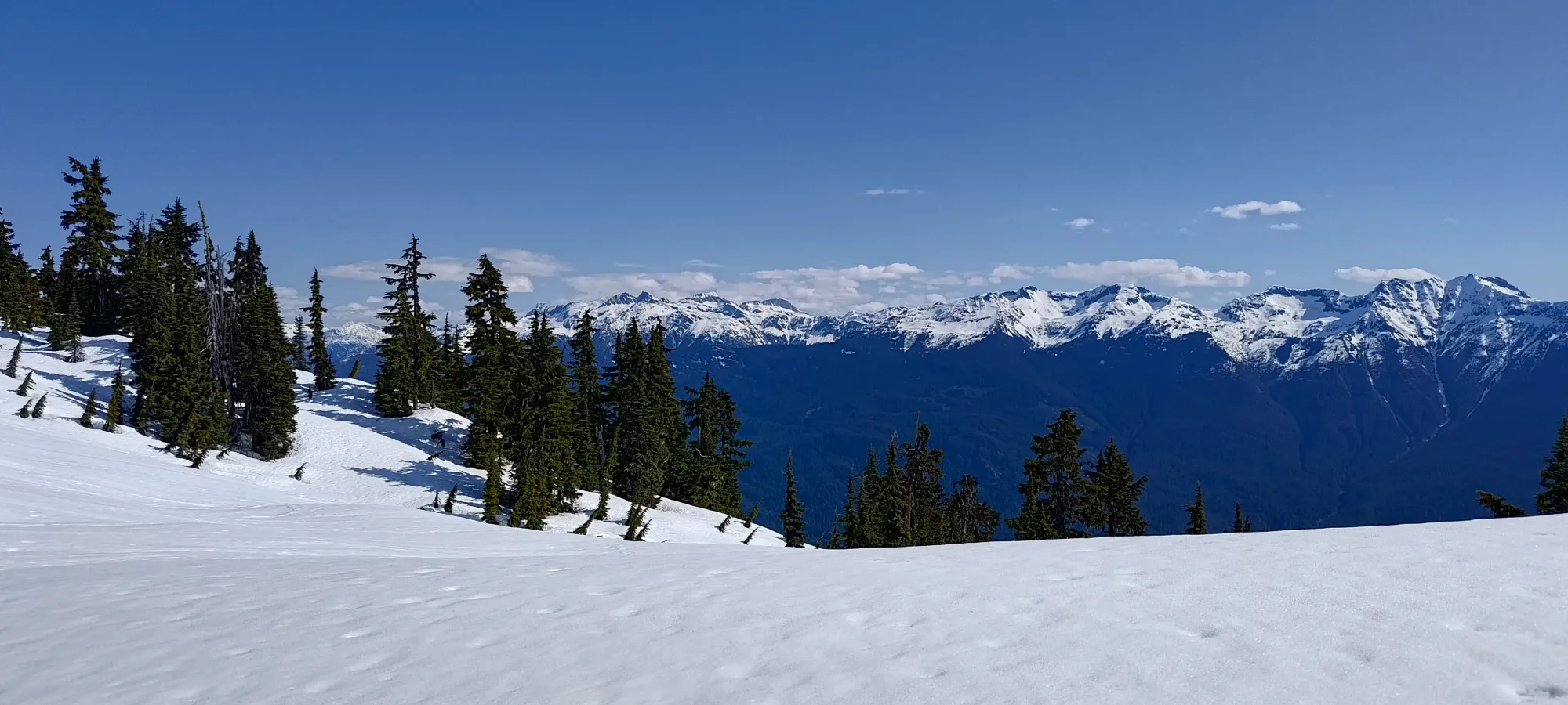
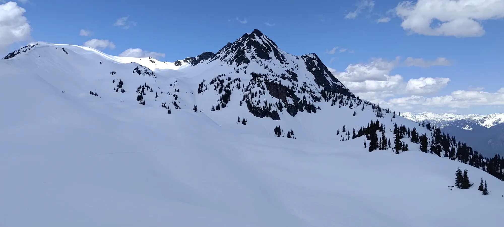
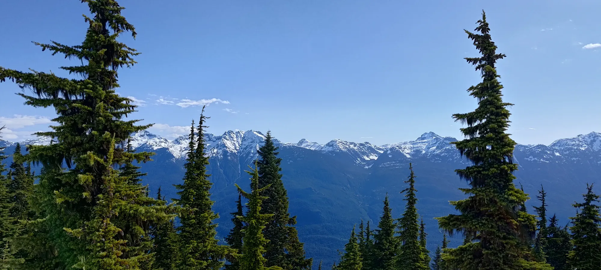
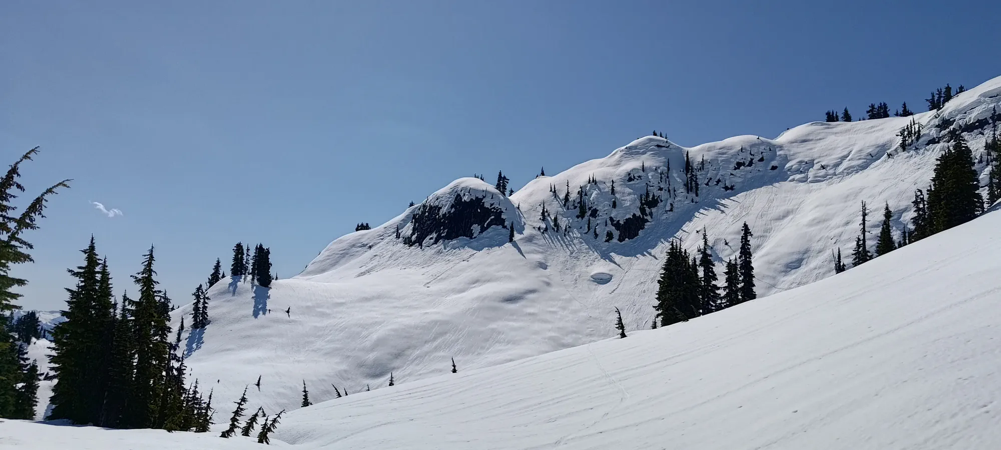
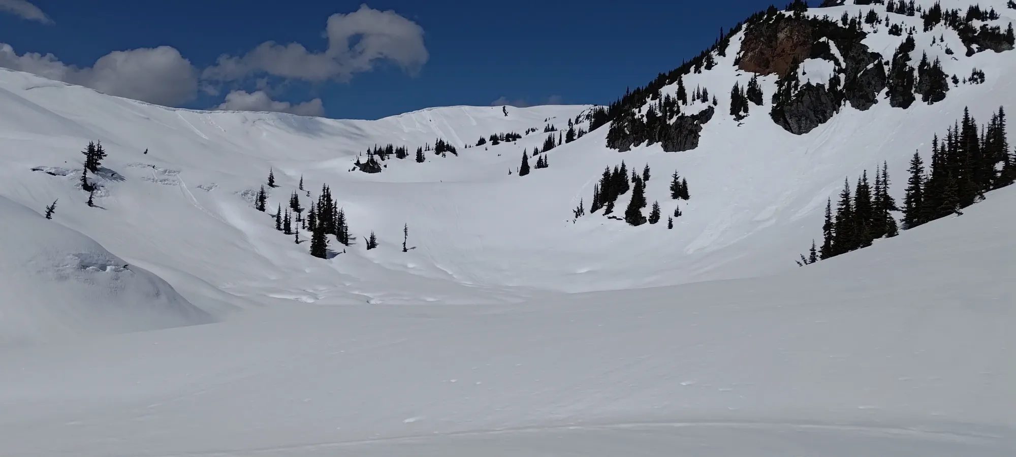
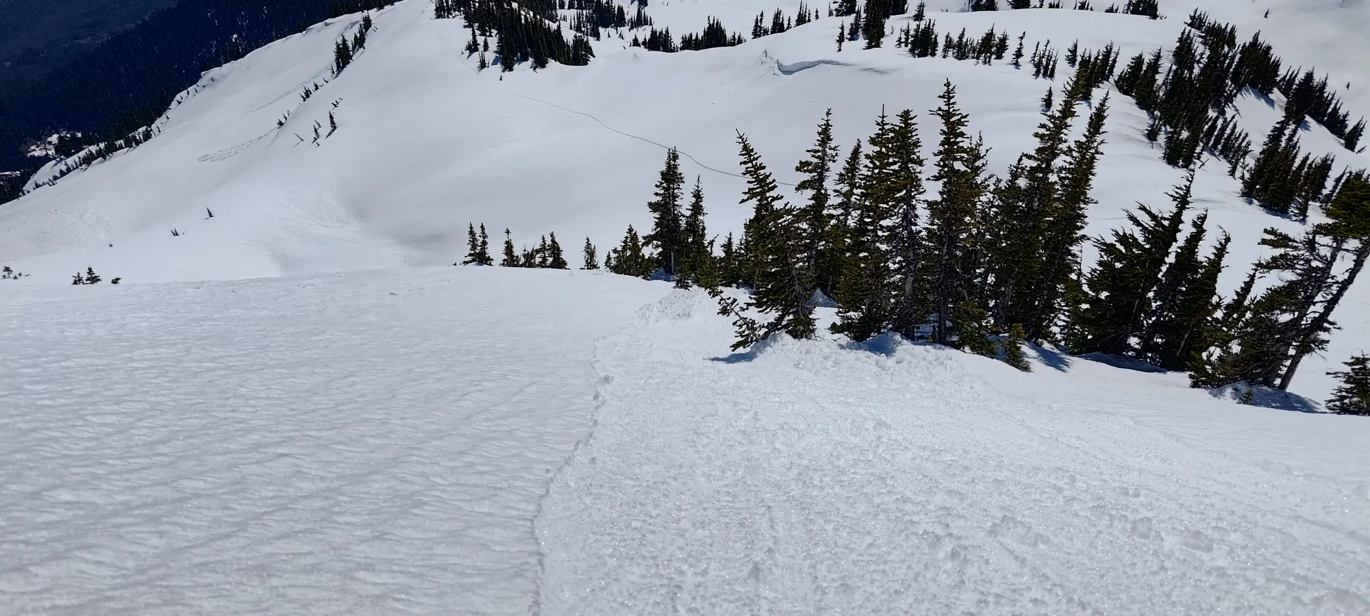
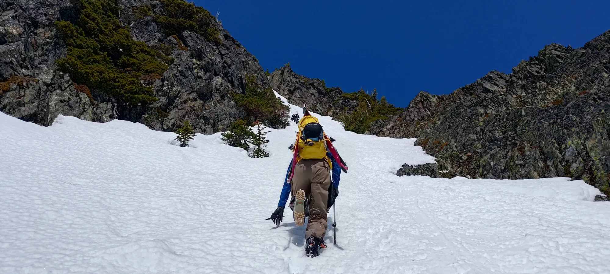
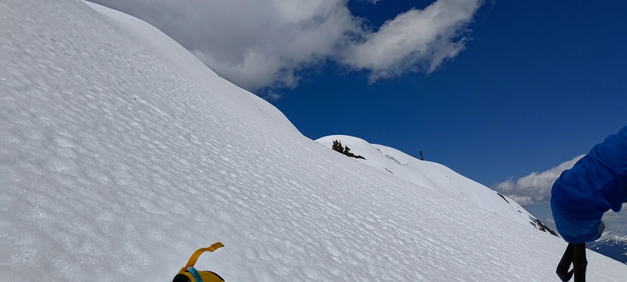
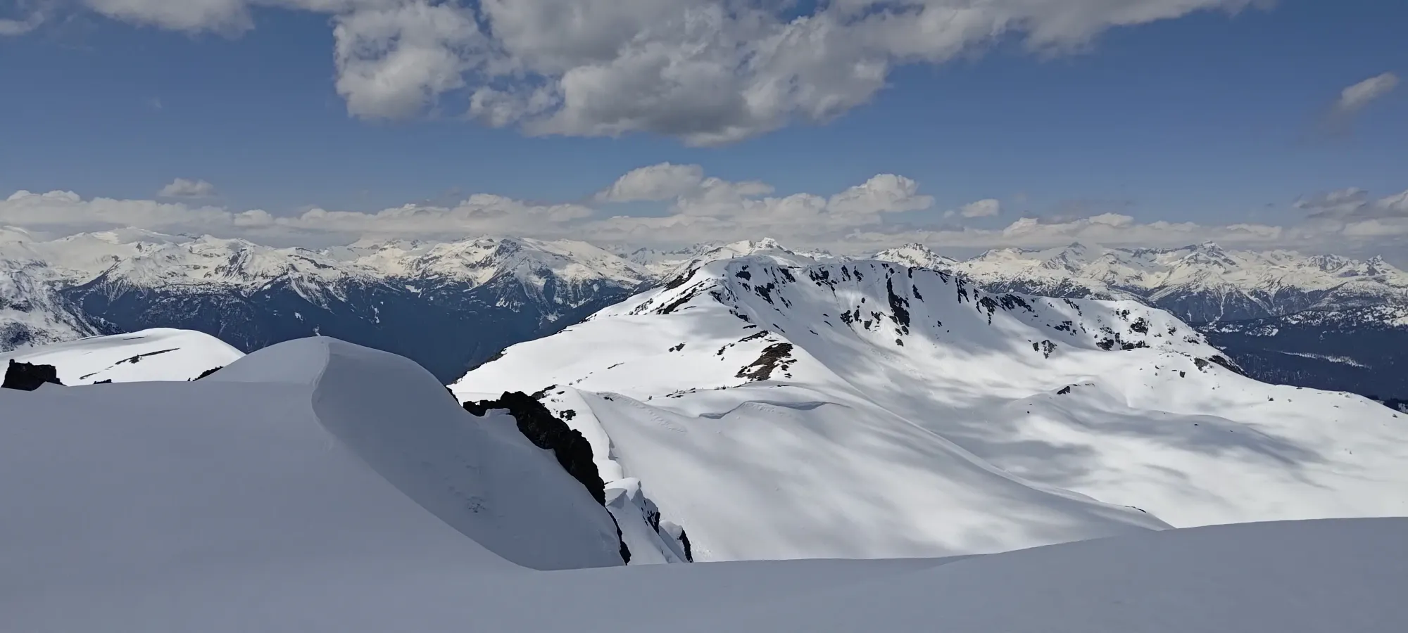
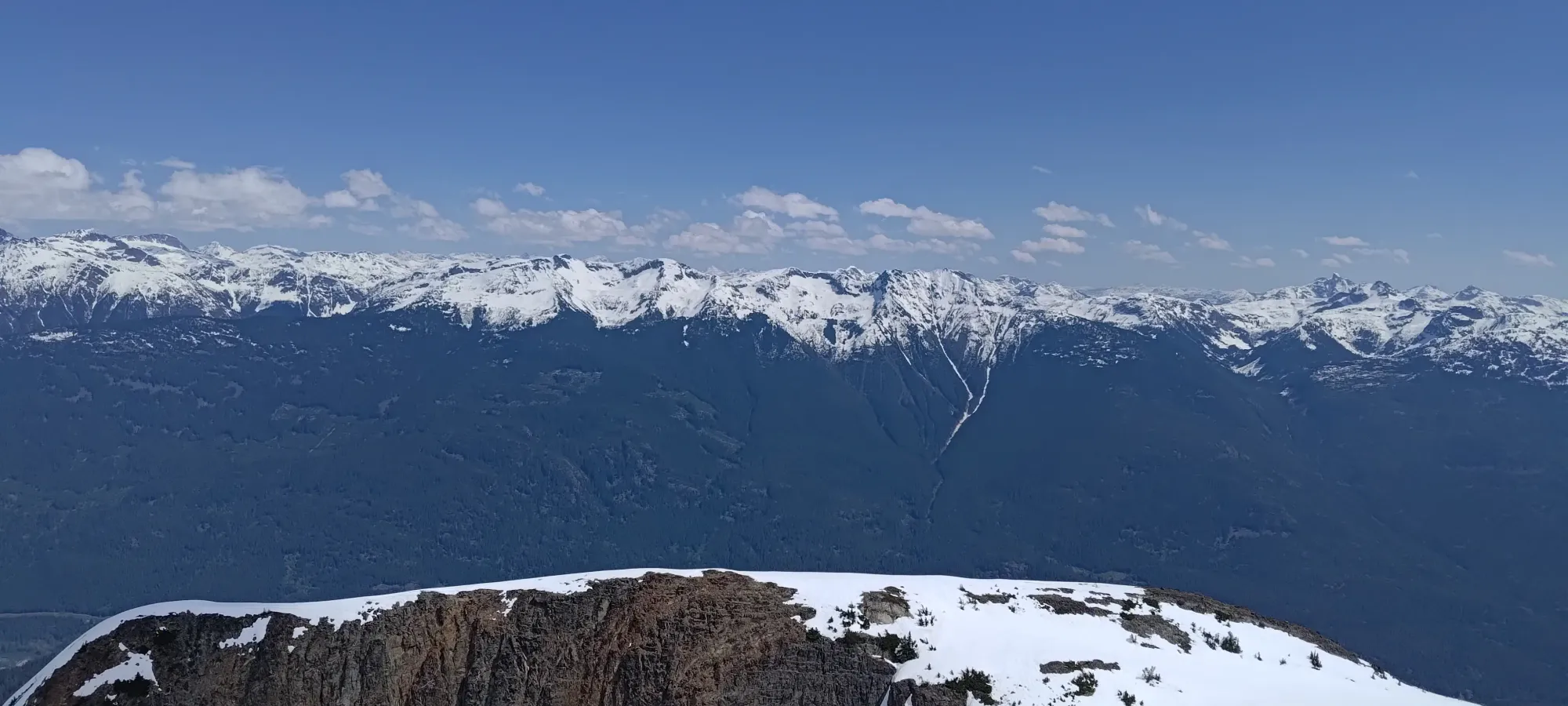
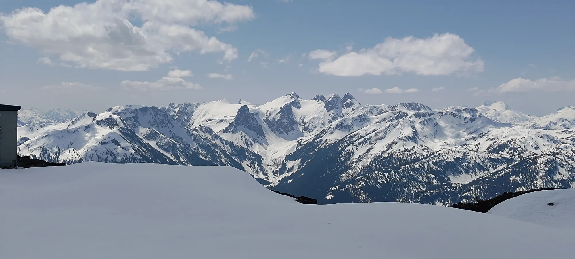
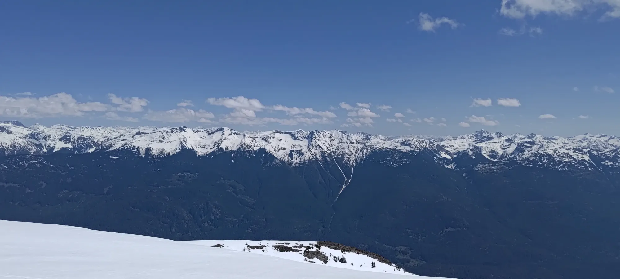
Nice views from the ridge
We dropped about 80m on this descent, though you can lessen this by skiing less and sidehilling more. It would be fun if the snow isn't total crap, but it kinda was for us, so we more or less just got down, then enjoyed the second half of our break (totalling to a luxurious 25 minutes!) while letting our skins dry a bit before resuming the ascent.
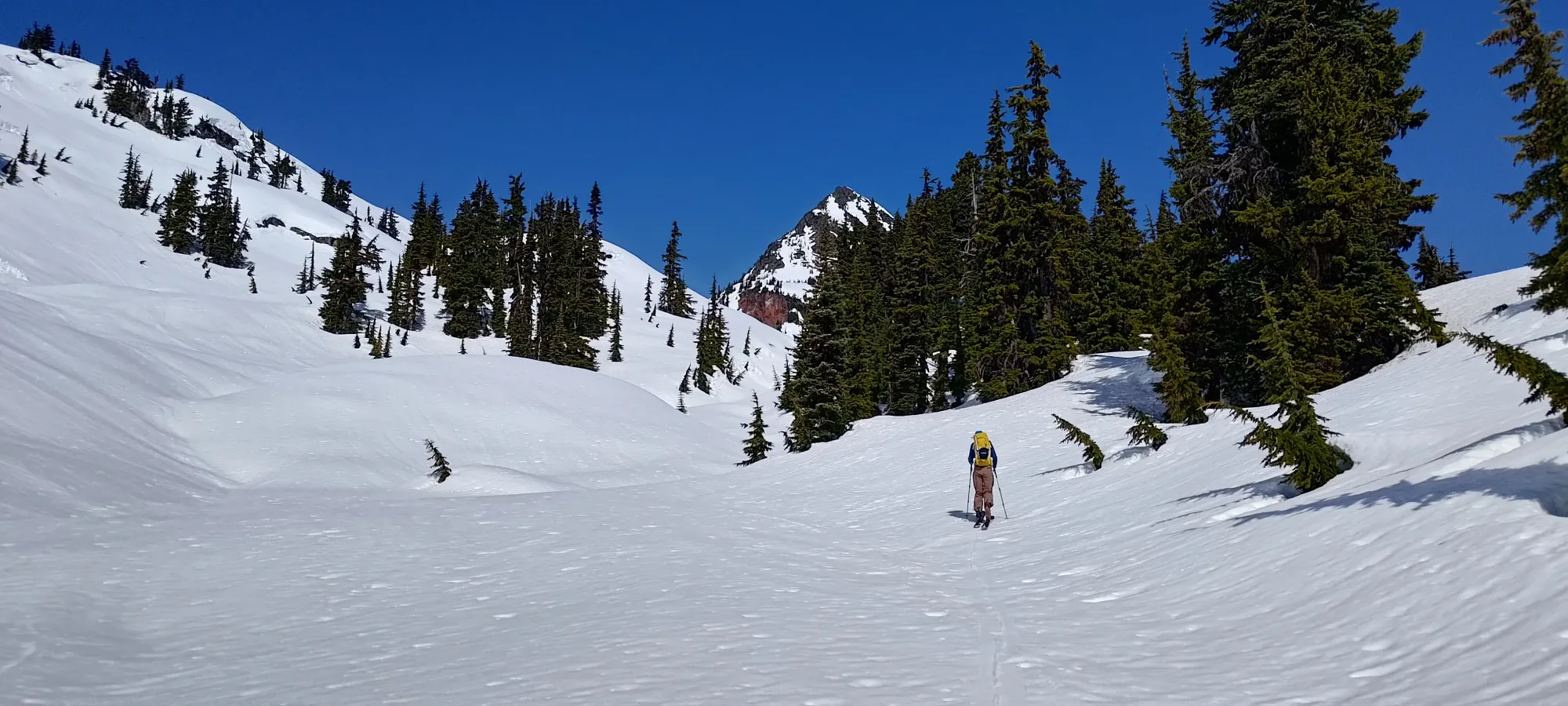
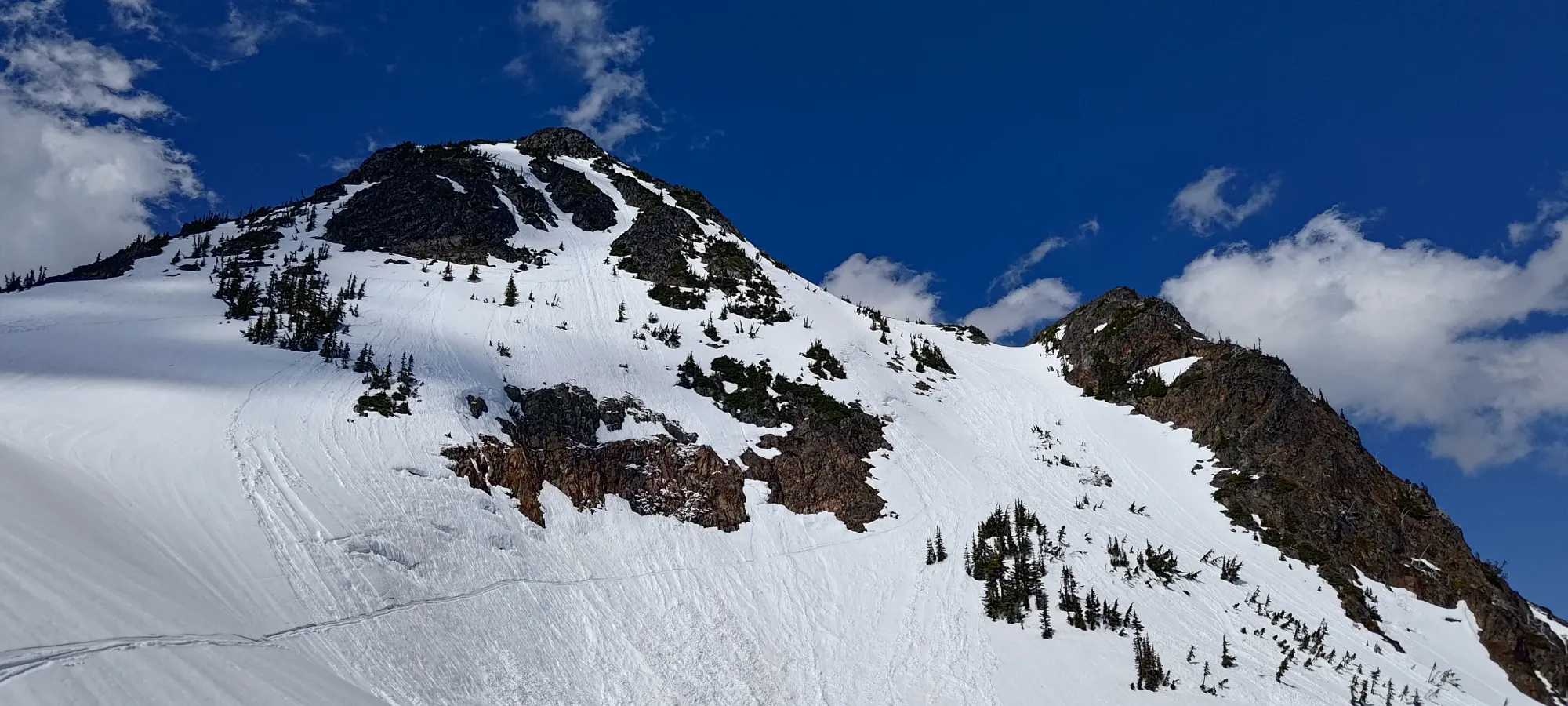
Kelly took the lead again here, and we made our way towards the 1700m lake, and before reaching it, curved up to climber's right to take the easy rib up to the base of the summit face.
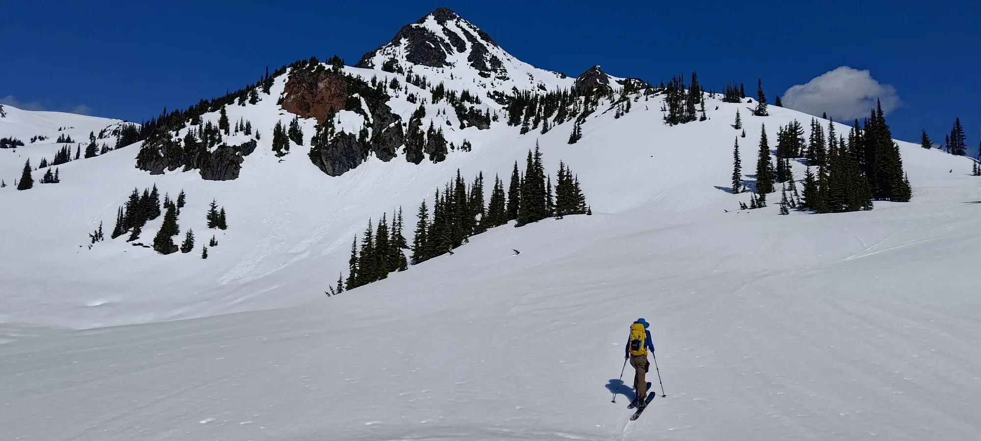
Once we gained about 50m, we turned NW from heading NE, and gained the next 100m heading in that direction, aiming to get above a large cliff band on the face before heading onto it. You could also go from below and climb up the guts more, but we were hoping to stay on skins for longer by doing it this way.
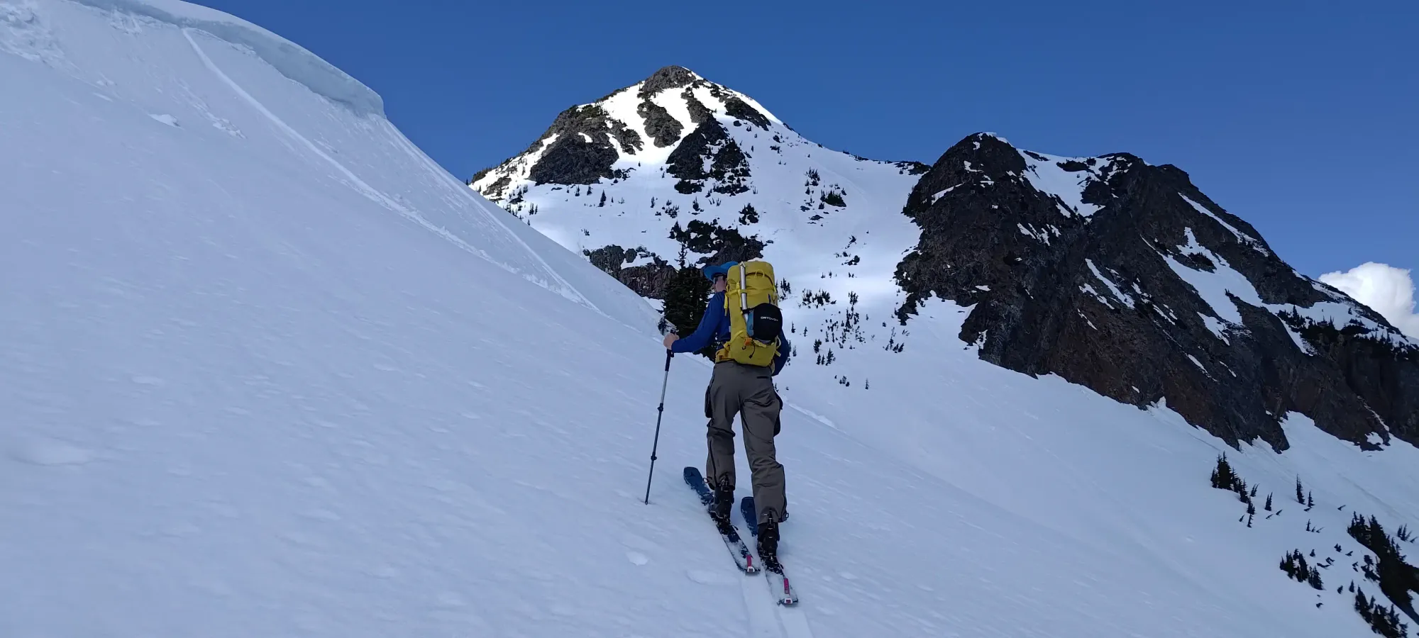
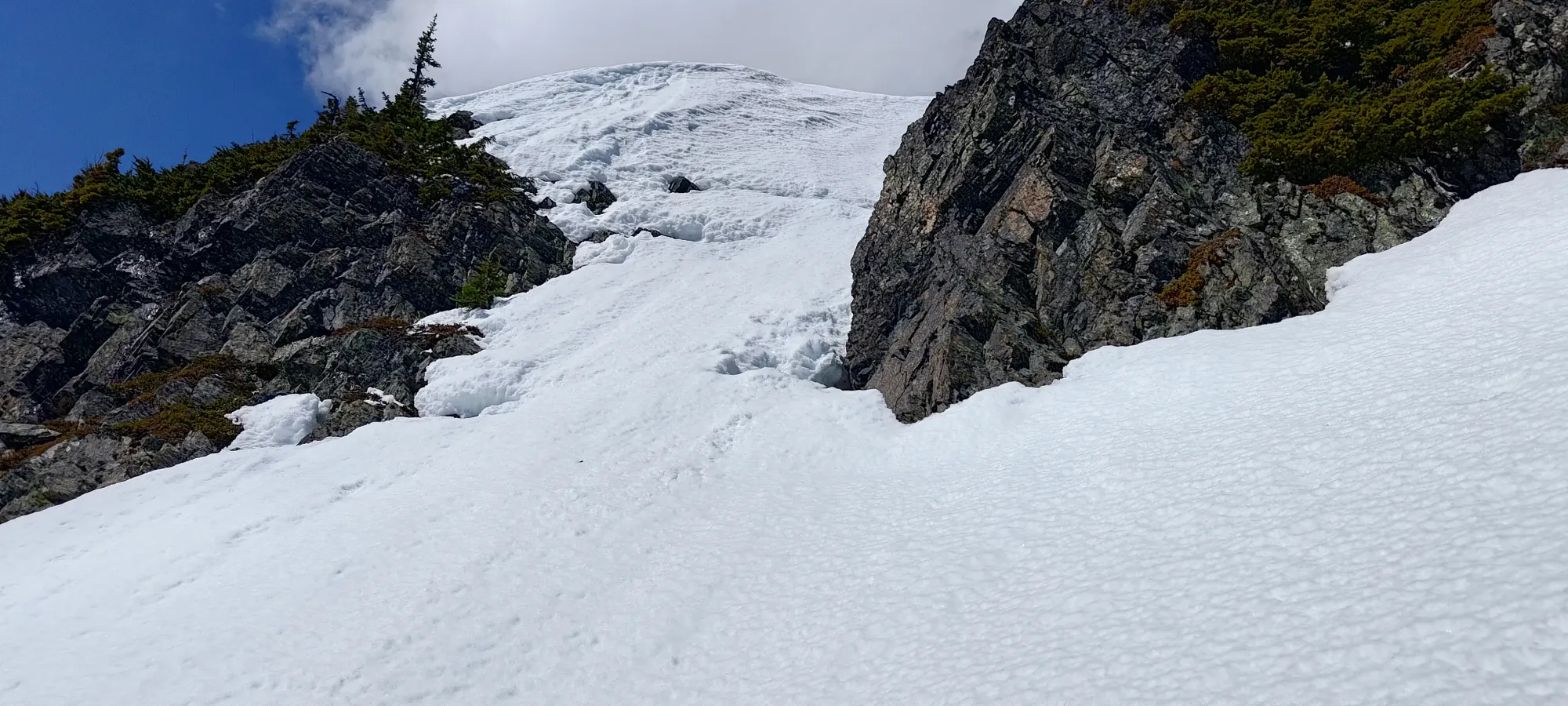
After about half an hour from our ski down+break, we discussed and decided to both climb the couloir, since it seemed fun and shaved some distance off, and also to skin as close as we could. Since this would be some spicier skinning, I took the lead once again as the resident expert on BS skin tracks, and I managed to punch us a track to around 1950m, effectively just before the exposure over the cliff started, and the ascent straight up would begin.
We stopped skinning once the snow was getting pretty difficult to control the wet slides on, and before the consequences of screwing up would mean tumbling over the rocks instead of just having to climb back up a bit. There, we slapped our skis on our backs, took our axes out (optional, but nice to have), and started booting. I was quite glad that I conveniently did the last bit of trail-breaking, so it was Kelly's turn for the highest-suffering stretch of the day 🤣
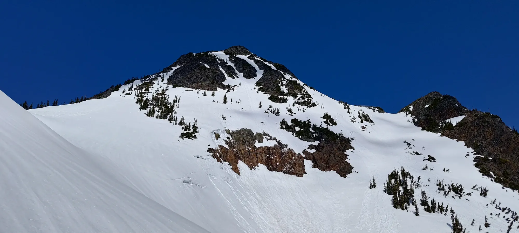
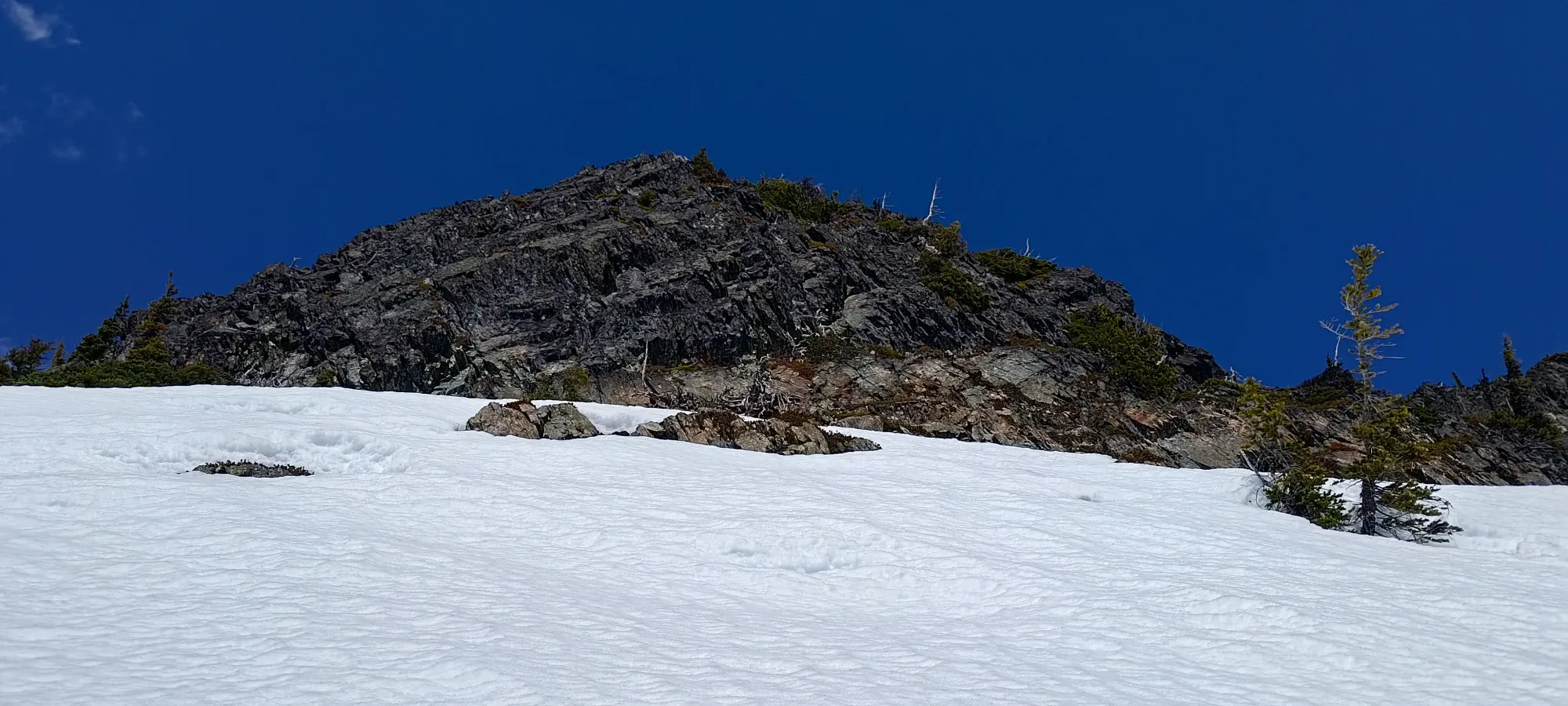
The couloir slowly narrows from "just the face", and eventually splits into two forks a bit of the way up. We took the climber's right side, since it seemed less steep, and would deposit us on the correct side of the false summit (sadly the sharp triangle seen on the approach isn't the true summit, it's a bit behind that). While the steps weren't exactly on a perfectly firm, barely-melted crust, the boot penetration wasn't terrible, so we made decent progress up.
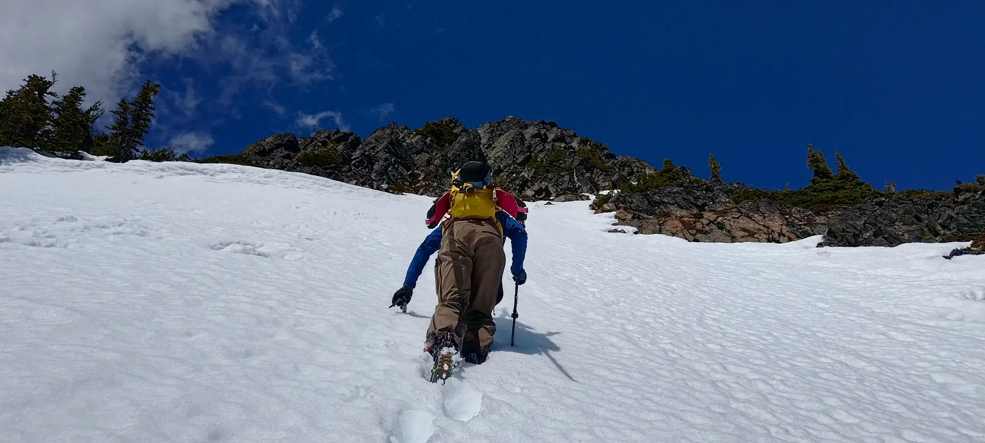
As the time approached noon, we neared the top of the snow, and veered off to our right into the rocks to scramble up to the false summit. The terrain is pretty easy here, so it was faster than traversing further right into the snow, just to have to come back left again to hit the summit ridge.
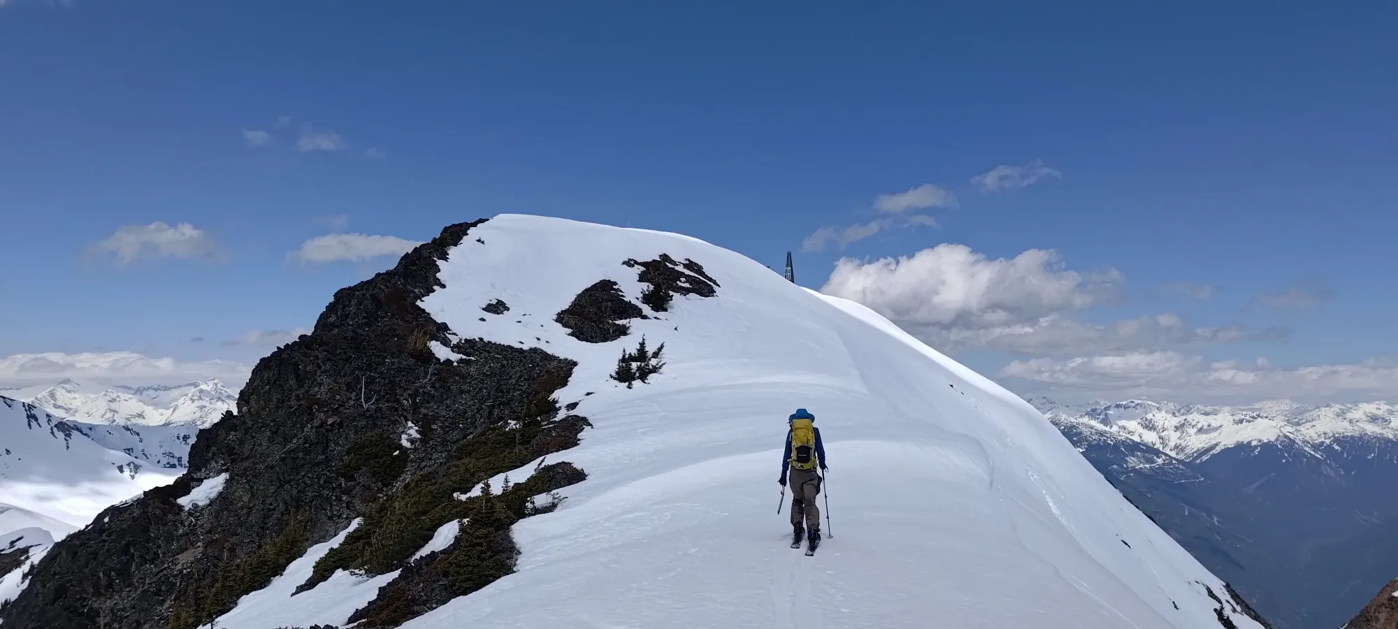
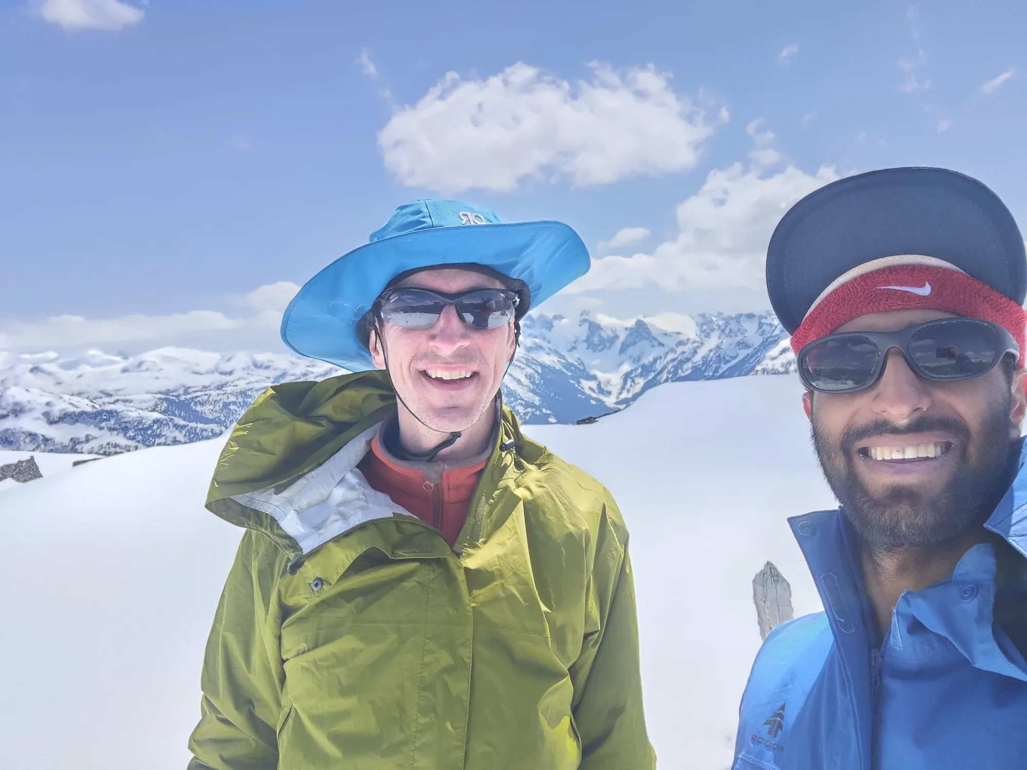
Once the false summit rounded off, we put our skis back on to skin the relatively gentle ridge to the summit. A few short minutes later, and we were on top! We summited at around 12:15pm, or about 4:20 into the day. Not too shabby, I'd say 🙂
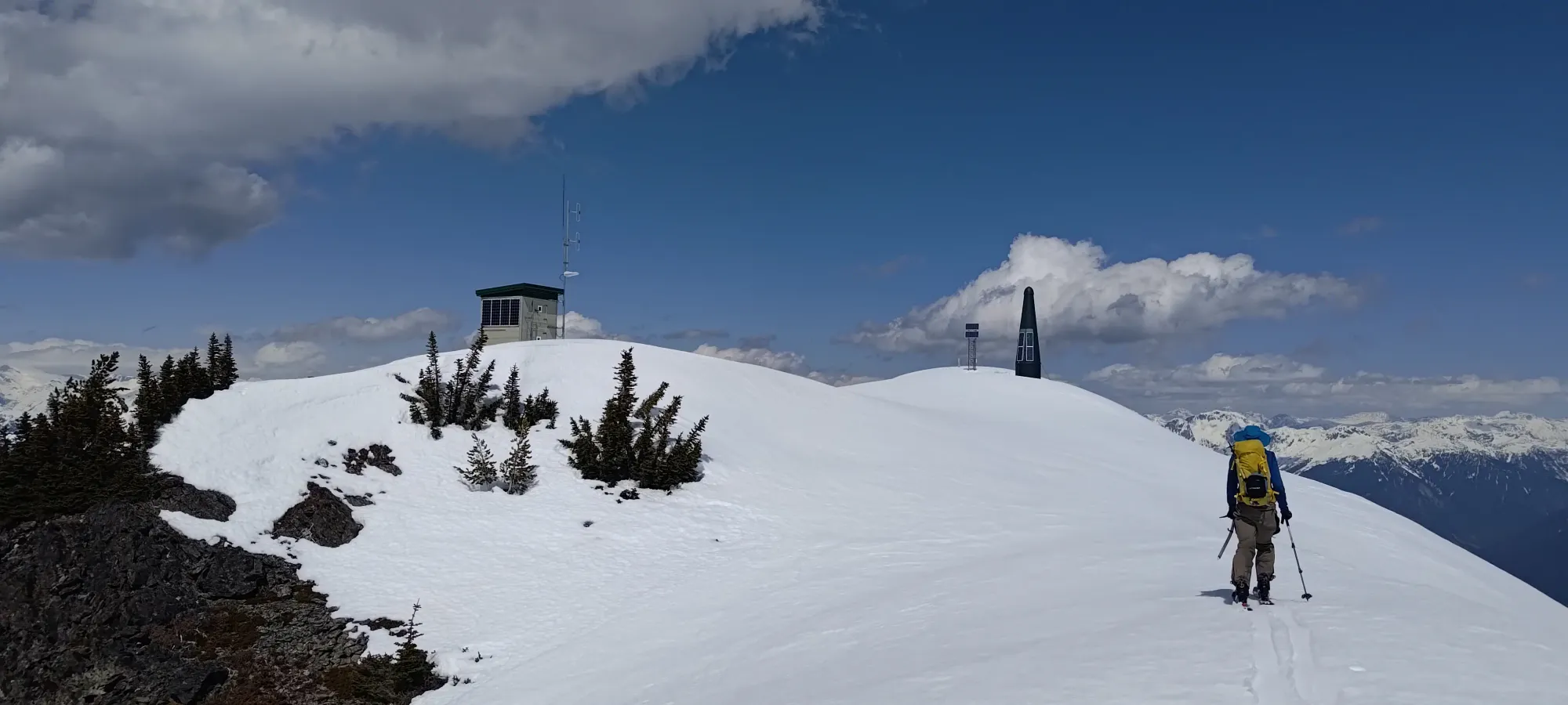
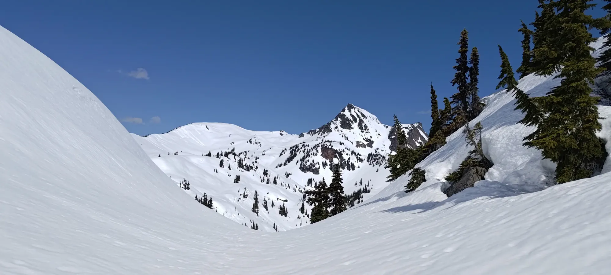
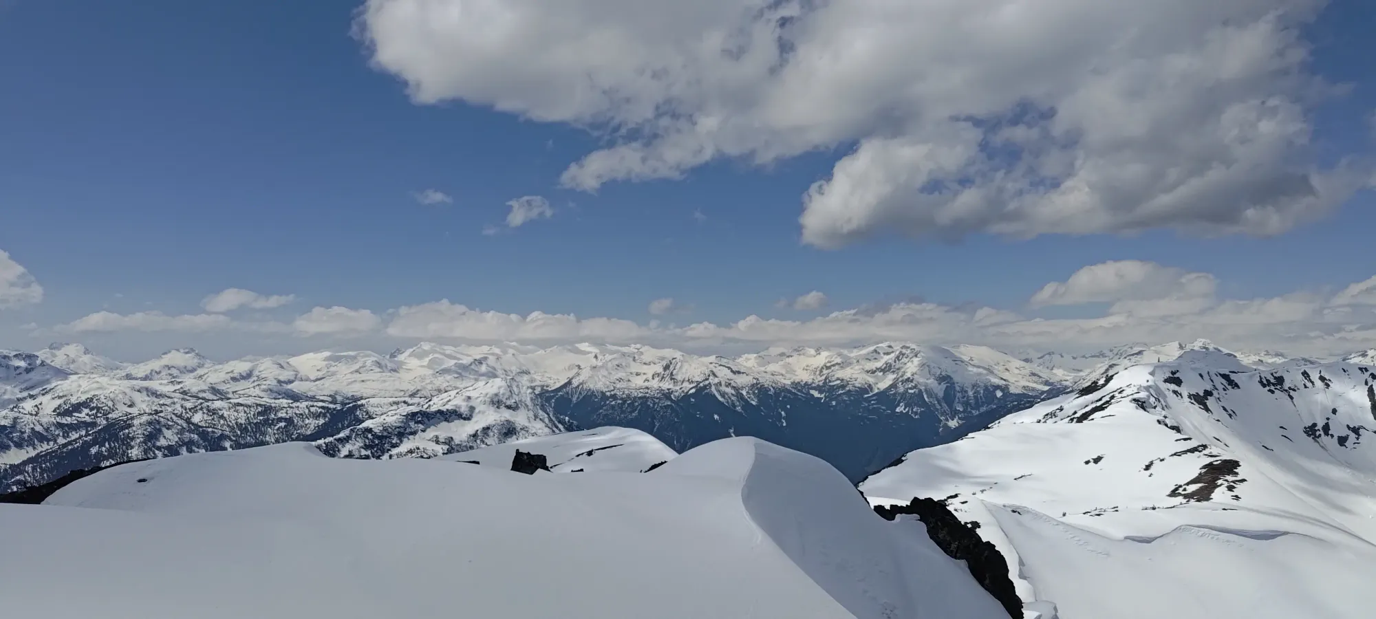
The weather was a bit breezy, but warm enough that it didn't really matter. With the snow already soupy as can be, we didn't have much to rush for, so we soaked in the views for a solid half-hour before starting to make our way back. I checked out the little shack below one of the towers, and noted that it wasn't locked, just secured with a hex bolt, so if you're stuck up there in a storm, you could get in if you wanted to, I suppose. We just sat around and enjoyed the panorama you get on a p1000.

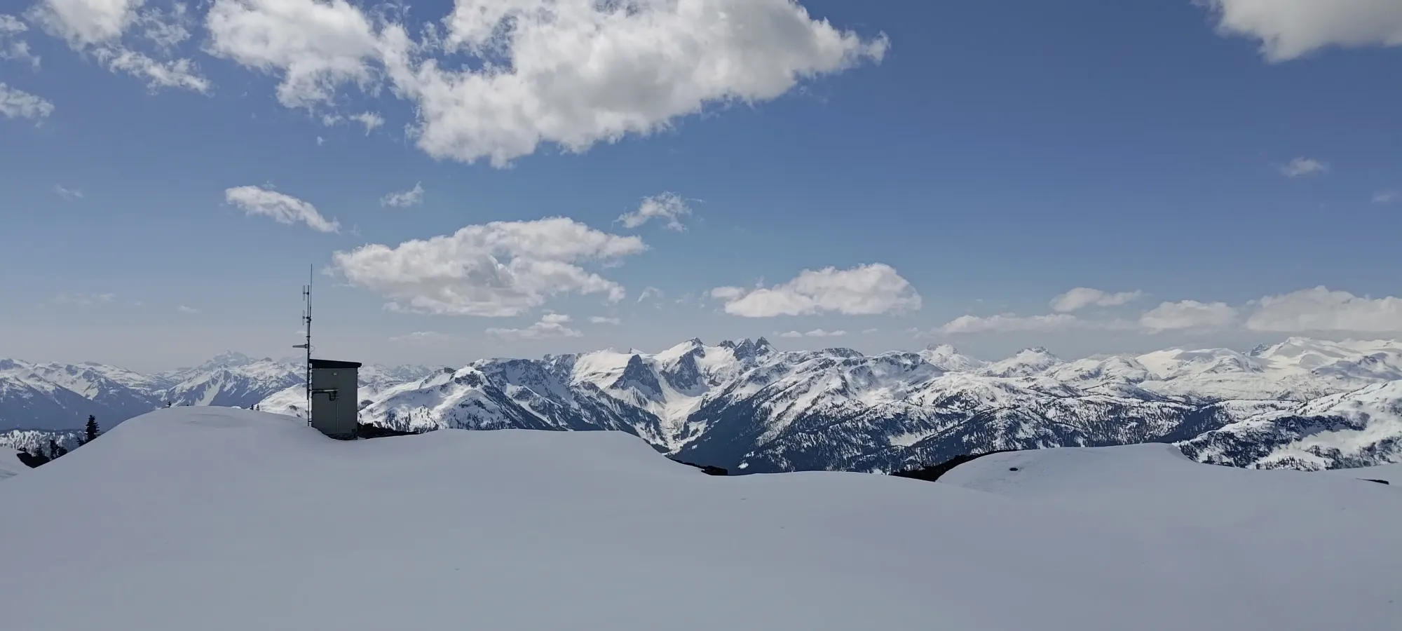
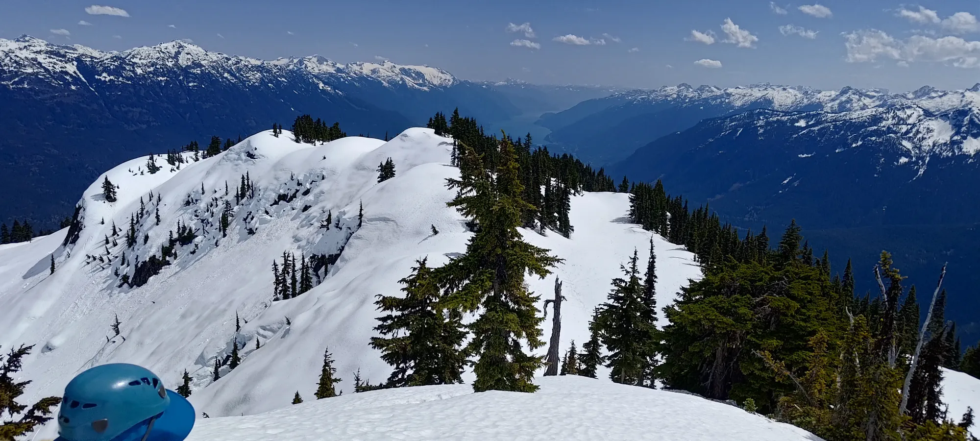
Before we started skiing down in earnest, we made a brief stop at the bump near the comms tower south of the summit to get a better view of things slightly obstructed by it.
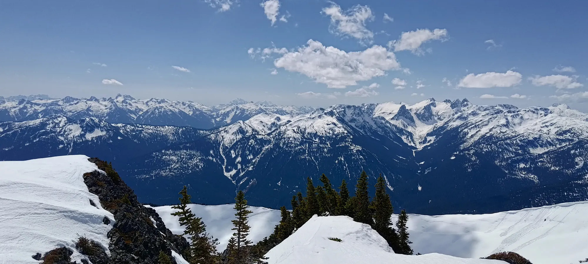
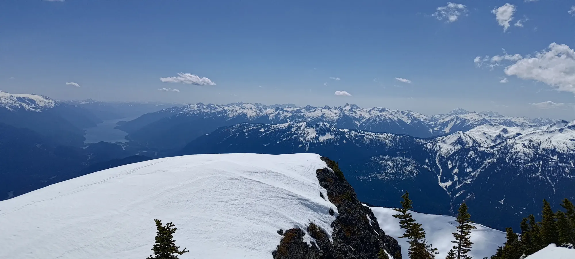
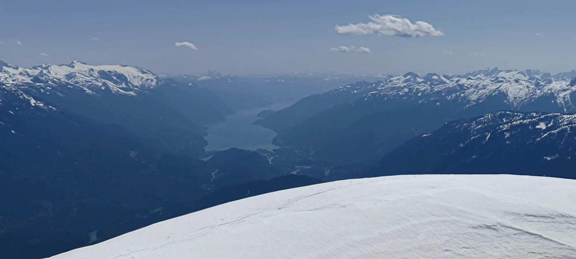
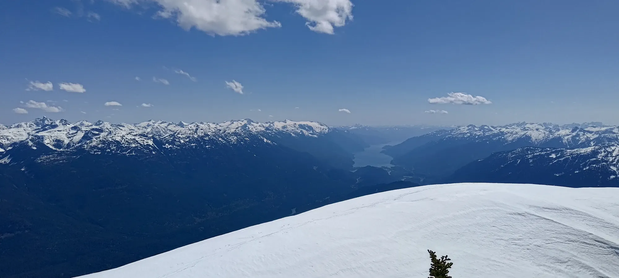
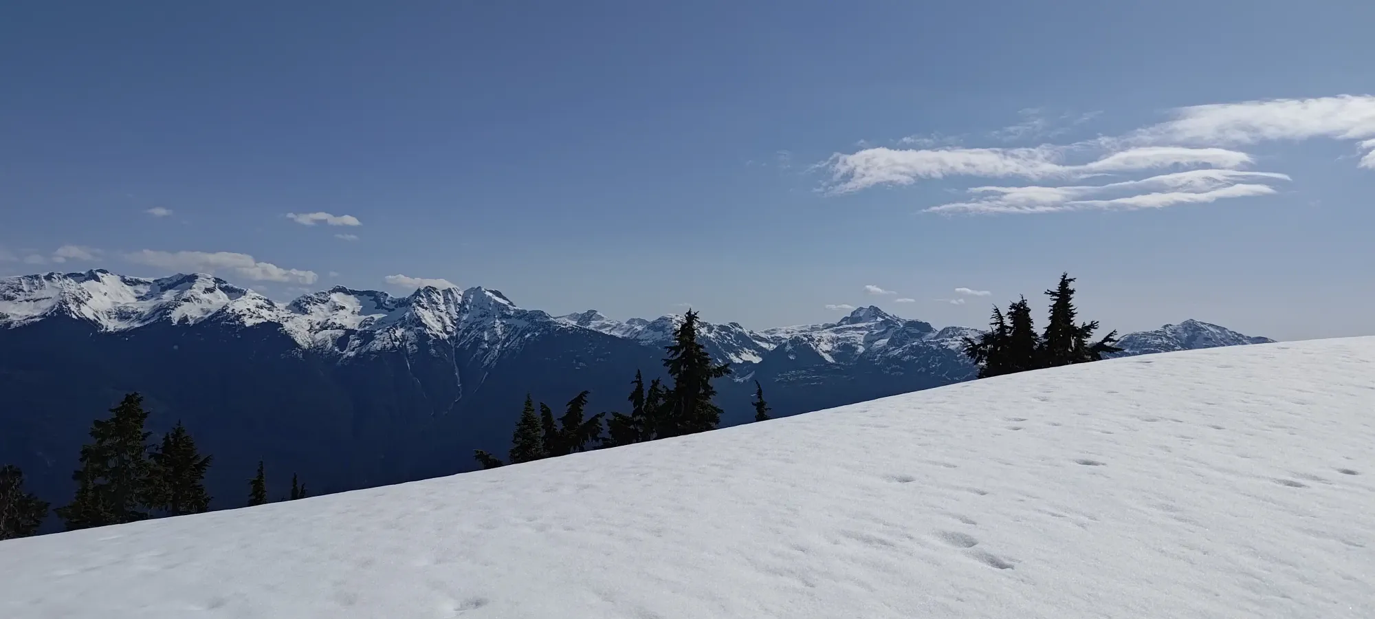
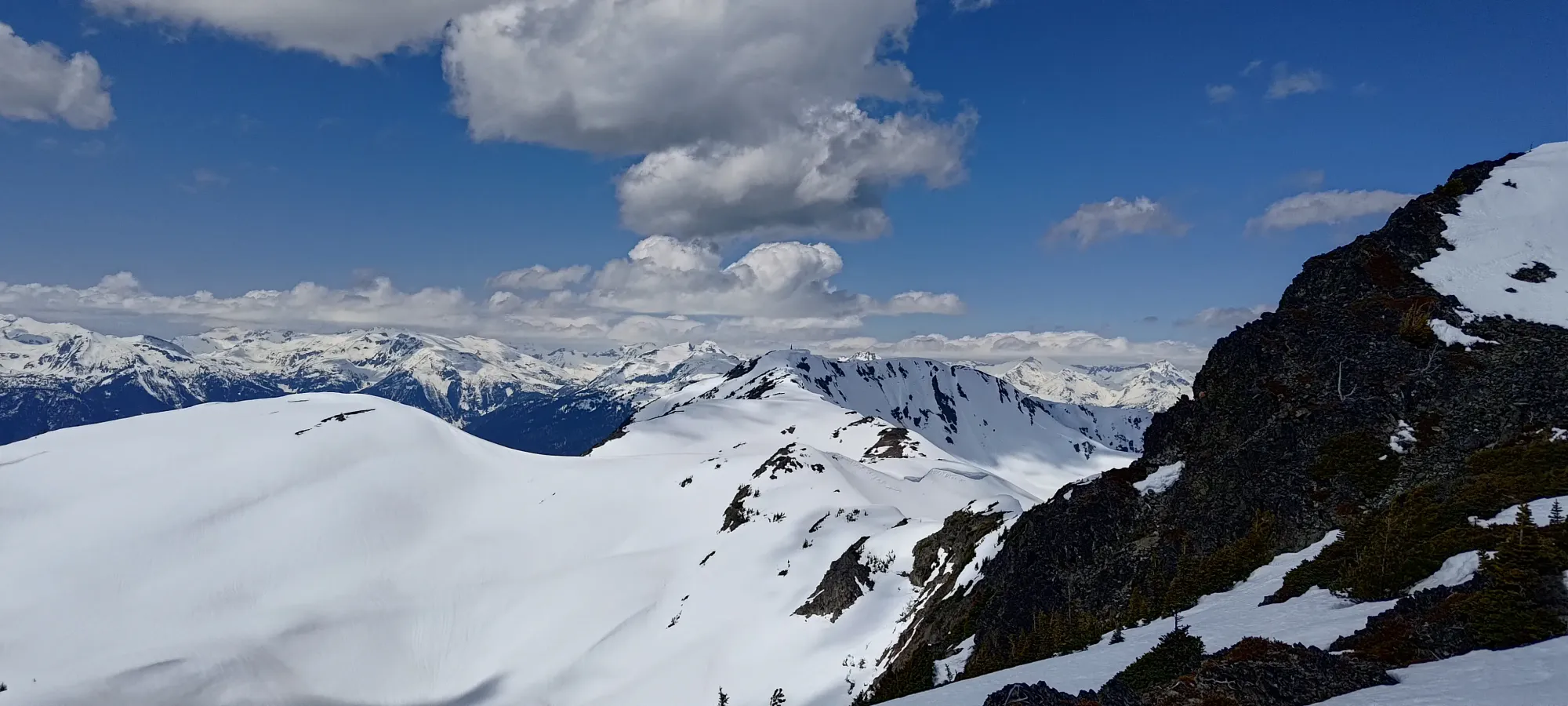
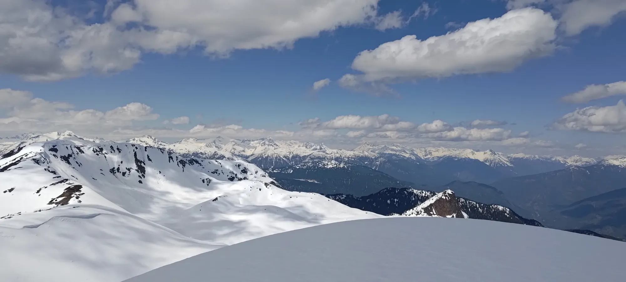
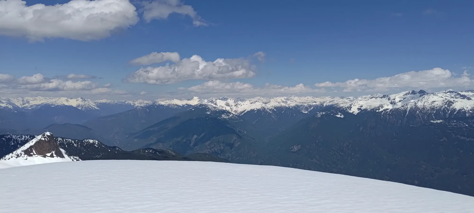
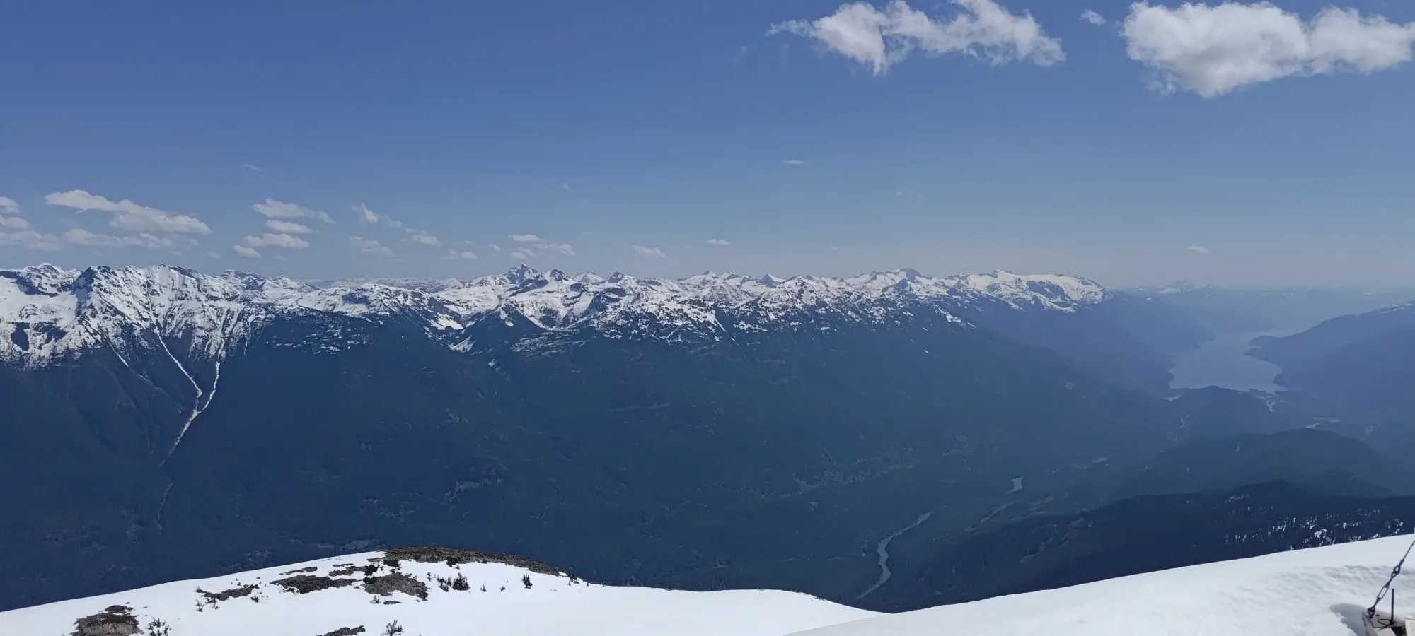
Couple more beauty shots to the west
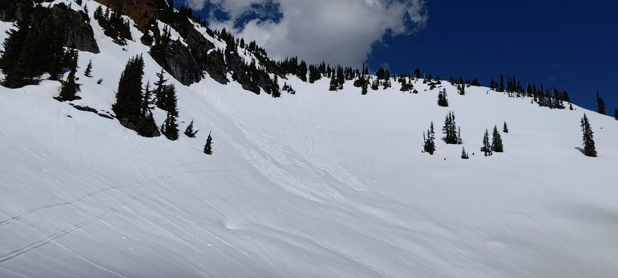
At first, we hadn't decided if we should ski the couloir or take the easier face. The plan was to ski the few turns to the decision point, and use that to figure out how we felt. After doing so, the snow was still quite mobile, and just challenging enough to make us lack confidence that we could ski at full send for the whole thing without screwing up. Given the wet loose hazard and exposure below, that seemed like a bad idea, so we quickly agreed to take the easier way out.
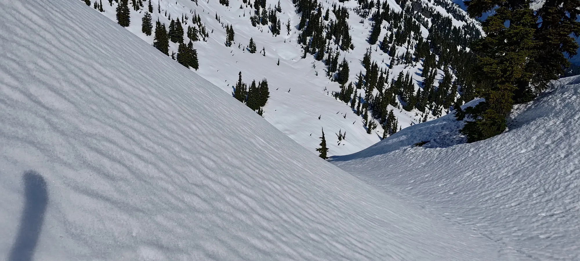
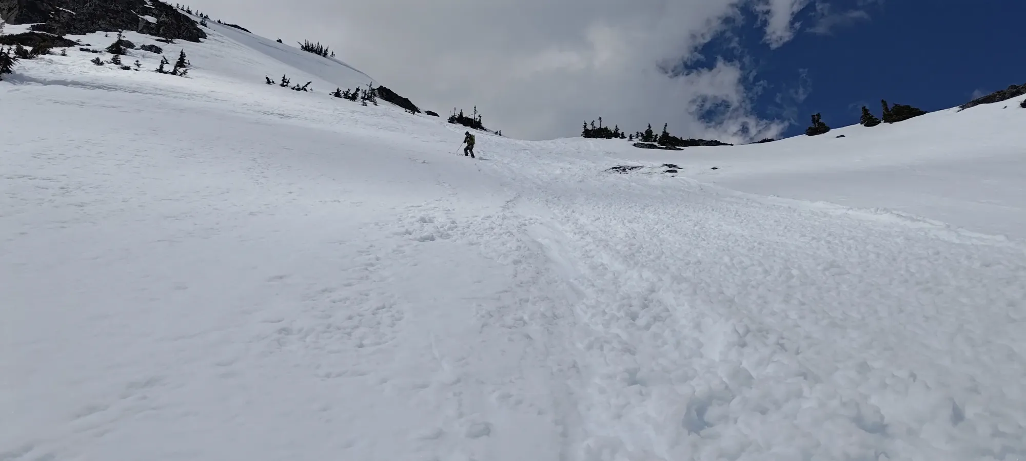
The snow wasn't explicitly bad, but it wasn't great either. We both got taken for short rides in sluff at one point, but we chose routes that allowed for that without a significant hazard, and we avoided terrain that would result in big enough piles to do more than just bring you along (vs bury you). One thing we did discover, though, was that if you skied over your line, and let things slide away, the slide surface actually skied better, with enough firmness to actually let you use your edges a bit, and not just slide away at a sneeze. When we mustered the patience to let the snow uncover that for us, it was actually quite fun!
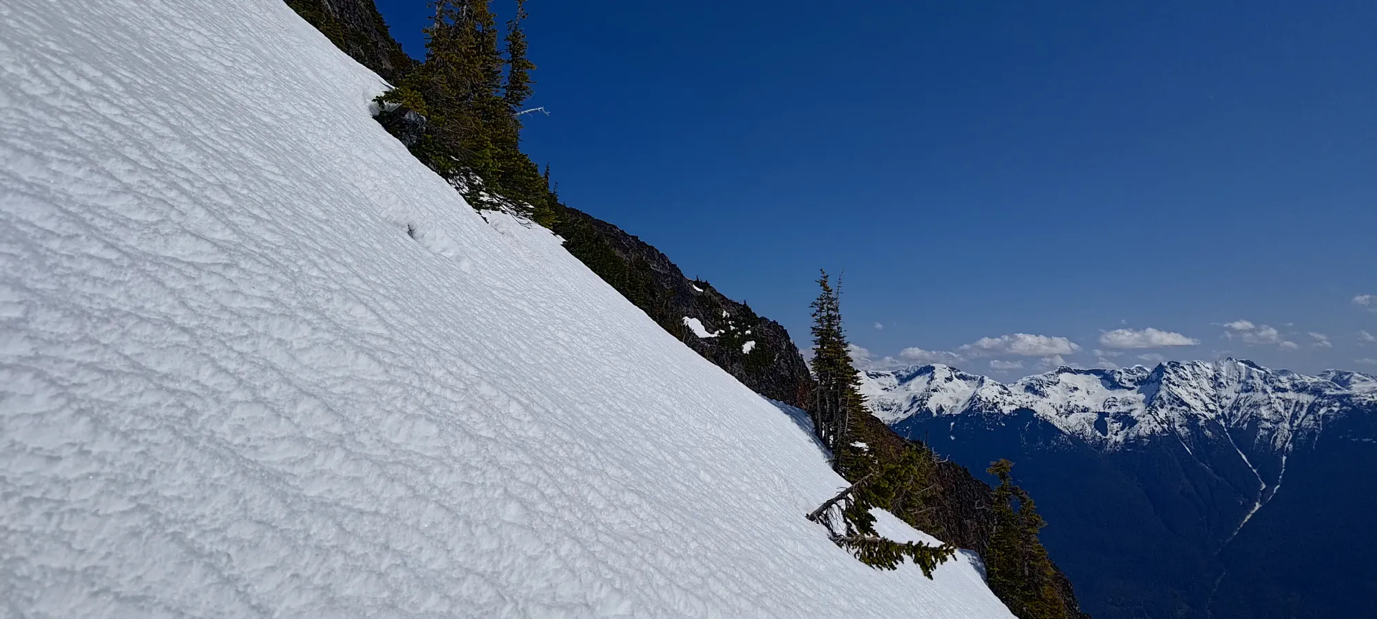
The highly mobile snow conditions on our descent
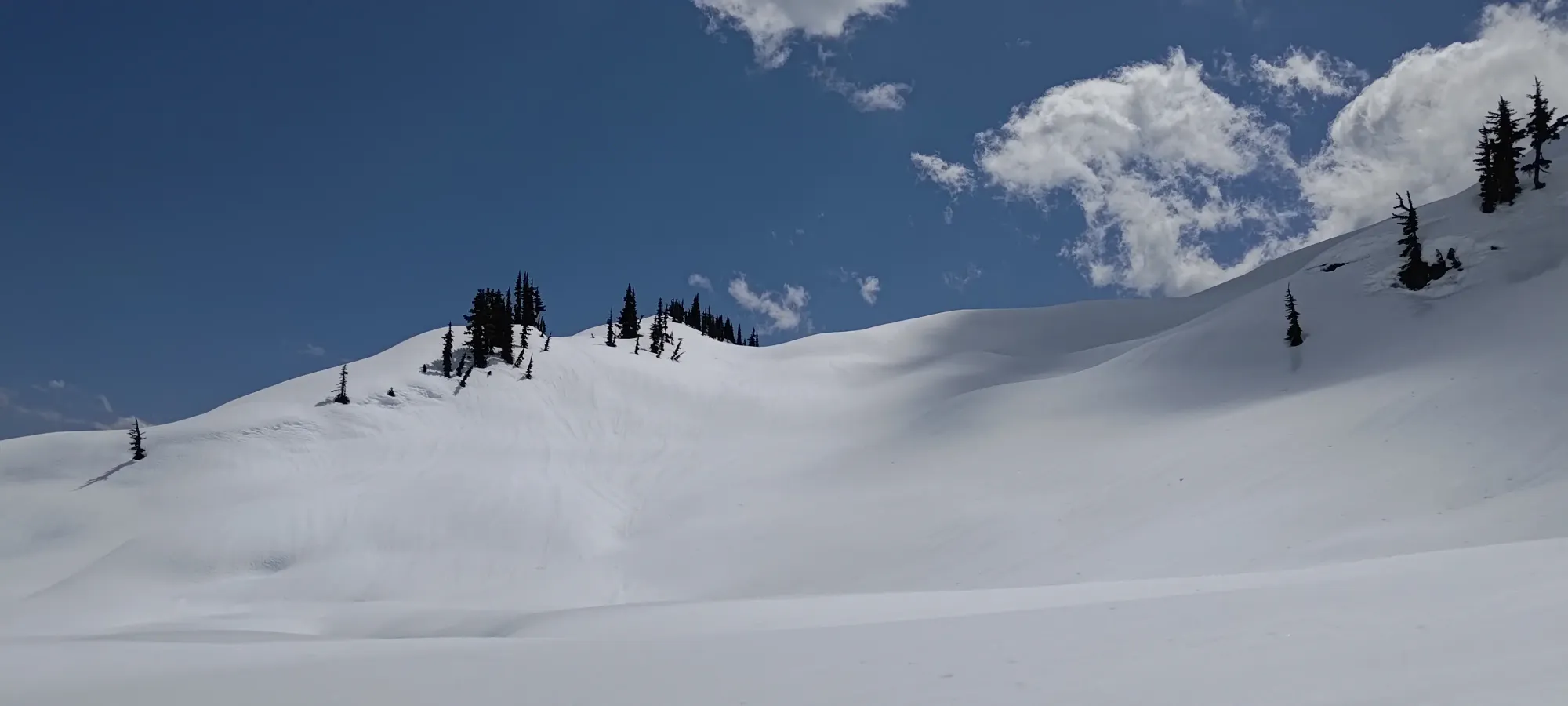
Despite the few challenges, we got down fairly efficiently to the flat-ish spot at 1850m. There, we decided to drop down the face directly towards the lake, as that looked like a nice run on the way up, and would allow us to take a way up to the ridge that was gentler for skinning vs the descent we did in the morning, which was rather steep, and would probably need to be booted up.
We had a better feel for the snow in this part, so we had a more successful and fun ski down to the lake. That made for 400m of pretty great skiing with good fall line, so I can say this makes for a good ski just from that alone. If you're just into touring vs peakbagging, the gentle slopes west of the peak make for good skiing in any conditions, as there are slopes mellow enough to be avy-safe there. Once we got down to the lake, we had a short break, then slapped our skins on to regain the ridge proper before we could ski down it.
From the lake, we gained about 50 metres onto the ridge, and walked for about 1.5km, booting down one steep part of the ridge's undulations, until we found ourselves a bit above 1700m, where we were confident that the terrain was consistently downhill, and that we were back on the east side of the ridge, which was the one we wanted to be on for most of the way down.

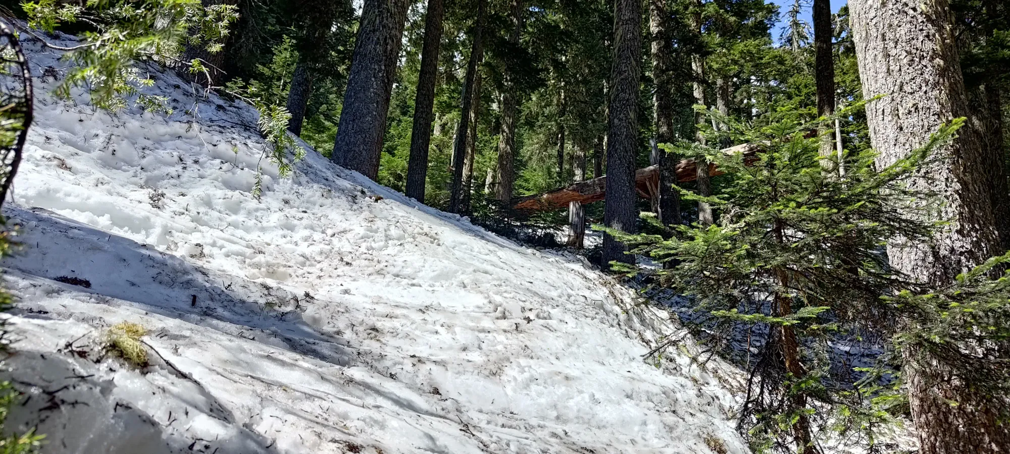
From there, we had a pretty good descent along the ridge and into the forest. The snow was more slow/slushy than sticky, so we managed to turn okay, and we managed to keep a consistently-downhill enough route to only have to shuffle on a flat/uphill once. Half an hour of careful skiing to try and balance following our skin track with the most logical skiing terrain later, and we found ourselves back in the forest at 1250m. By this point, the shaded parts of the forest were quite firm and difficult to ski in, so while there was technically a little more continuous snow, it was neither faster nor particularly safe to keep skiing, so we took our skis off and started booting down the remainder of the forest.
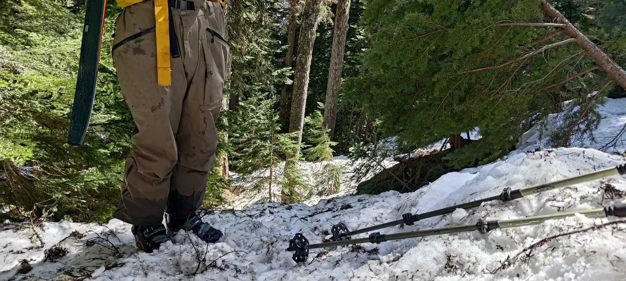
Going down was pretty easy, and we managed to curve a bit more to skier's left as we booted down. That meant we hit the road in about 15 minutes, and shaved a couple hundred extra metres of walking along the road vs our uptrack in the process. I call that a win!
From there, it was a casual 15-minute walk back to the final snow slope above the car, which we, of course, skied out for the memes. It wasn't steep or cold enough to turn, but it was still faster and more fun than walking!
All in all, we were car-to-car in 7 hours, and skied over 80% of the vertical, with only one spot we had to put skins on for the way out (and only for 50m). I call that a win for a first internet descent (I have been informed it has been skied before, but without any record of it, I will claim the slightly more dubious honour that is the first internet descent 🤣). That plus getting another p1000, and getting back to Pemberton with time to eat, and still get home before dark after that? 10/10 day. Well maybe 8/10, 10/10 if we had some actual corn snow instead of just slush. Still pretty great though, and I can now highly recommend skis for this peak from experience instead of just theory!
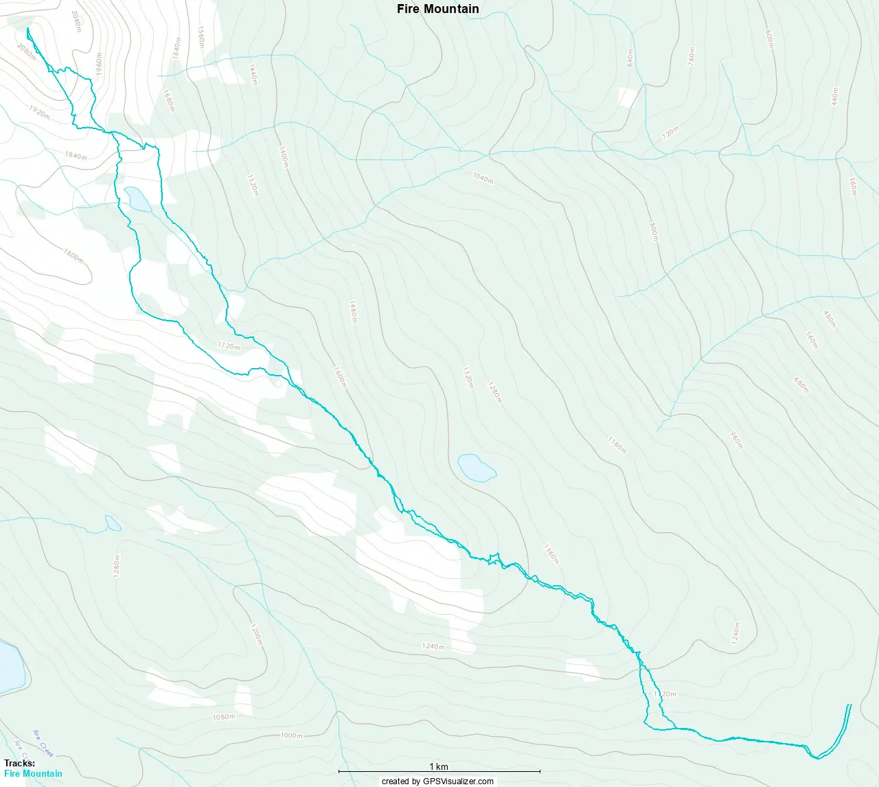
GPX Track + Map