DeBeck's Hill - July 1 2023
Decided to make a small hill more interesting by biking to it. Got harder than expected when my e-bike died on the way home :D

Garibaldi Névé, Squamish, BC
470m
Since this weekend was an on-call weekend, I had to choose my objectives carefully (have been a lot of those recently, but hopefully that'll pay off in winter when all my day-swaps are realised!). I happened to fix my bike (finally) after my bike accident all the way in 2022, and actually spent the morning putting together a new bike rack I got for my car. So, naturally, I decided the best thing to do after that would be not to drive anywhere to test it, but instead bike from home (downtown Squamish) to Alice Lake, then maybe bike the road up to the top if I could manage it.
Leaving home, things were fairly smooth, though I immediately realised that instead of charging my bike's battery overnight, I apparently REALLY made sure my drill was full of juice 🙃. No matter, I was still at 3/5 battery, and it is a pretty long-lasting one. I decided if I was on 2/5 for "more than a little while, I'd have to turn back.
I used Google Maps to bring me to the trailhead, hoping the cycling navigation mode would make things easier by choosing the "best" bike lanes and take shortcuts that make sense. Instead, it totally sucked, and I constantly had to make it take sideroads and recalculate vs just yeeting down Highway 99. Eventually, once I got to Garibaldi Estates and across the highway, I let it direct me to the lake. It took me onto a trail (Coho Park), which worked okay for about 400m, until the trail forks where Seven-Up starts. That's definitely a mountain bike trial, but after this even Coho Park gets kinda rough, and didn't seem like something I wanted to try. I could PROBABLY coax my 75lb bike up that, but with my leg still being "less than intact", risking it and finding out the answer the hard way wasn't a plan I wanted to carry out. So, I turned around, set google to "drive" navigation, and took the highway to Alice Lake Road.
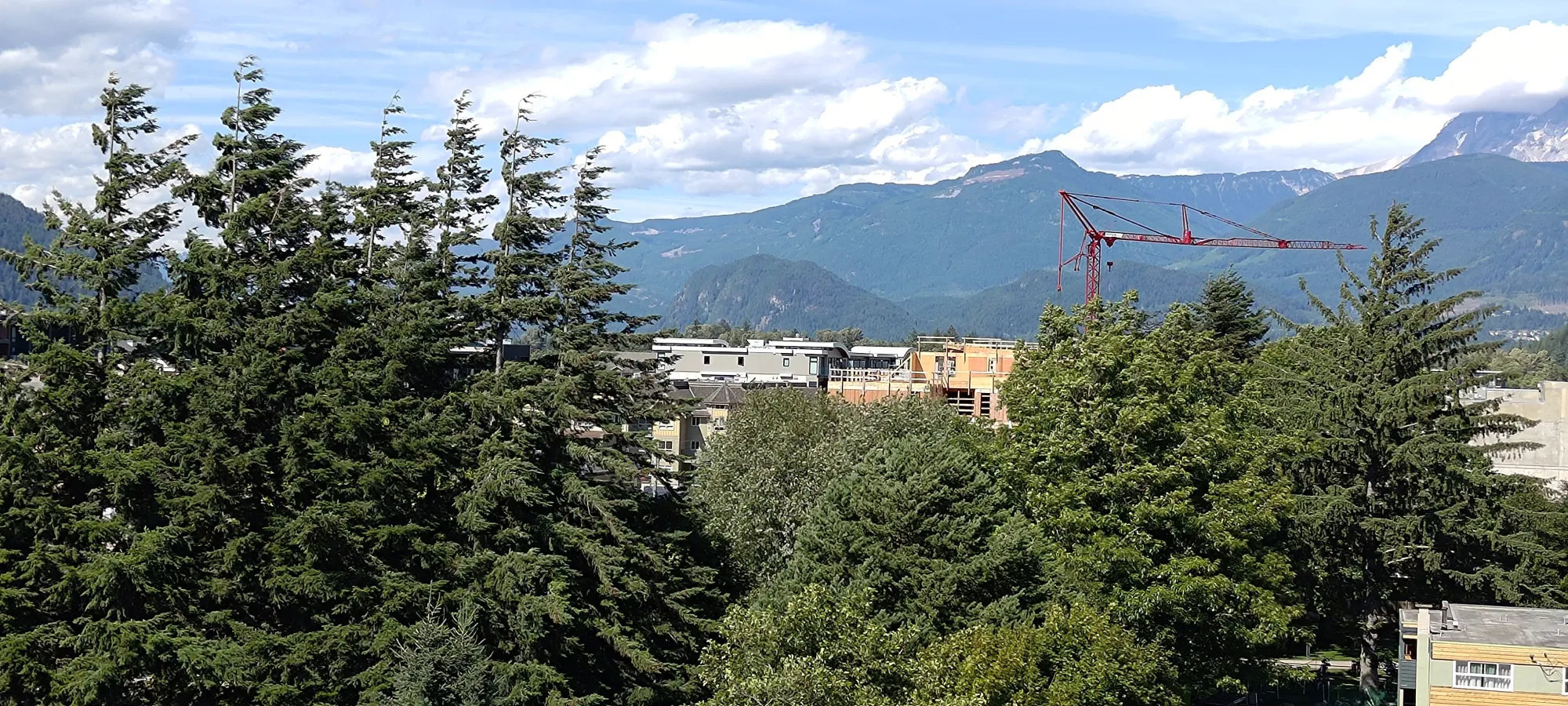
On that road, there's one short, rather steep hill which quickly showed me just how limited my bike's abilities actually are (don't think it'll be the FSR-killer I was hoping, but at least I can still use it around town. Time to save up a million dollars for a real mountain bike I guess 🙃). I made it with a lot of gearing down and more muscle power than you'd expect from an electric bike, but apparently I paid a harsh price, a couple minutes later (basically when I got to the lake), my battery tanked from 3/5 bars to 1/5, and 0/5 in the span of a couple minutes. My "let's be conservative but reasonable w/ battery" plan was NOT working out. I did, at least, get to the bike rack on the south side of the lake without it dying, and parked there.
There I finally got to get the massive and heavy chain I was carrying (somehow my cable lock for my bike went missing) out of my bag, and geared myself up once the bike was secure. Of course, this was destined to be "one of those days", so one of my poles failed to open up (the metal protrusion that extends to lock the length failed to exit its hole), so I had to make do with 1 pole. Which was more annoying since, well, I wasn't about to waste my battery trying to bike up, especially with my poor hill performance earlier, AND I was wearing my "hiking loafers", which are the lowest end of acceptable for hiking (but they are really comfy otherwise!).


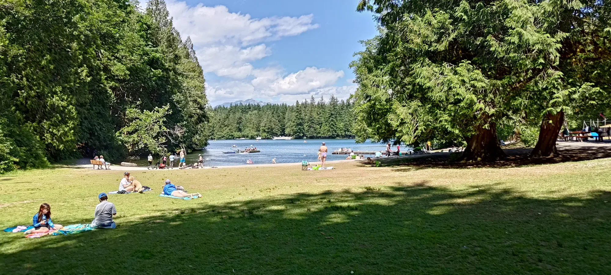
The "official" start of the forest road (not the only way up, but with my bike, it was the best way up for me, and probably still is even just on foot) is a few metres away from the bike parking, and I conveniently arrived basically exactly at 1pm, so that makes timing easy.
The road isn't much to talk about, "it's a forest road". Gated, so you can't drive, of course. There's some loose rocks on the road, and more so on the upper sections, but a mountain bike should be fine. Heavy e-bikes like mine are a solid maybe and being honest with myself, probably not. Road bikes... use at your own risk. A sign later own showed it as a "biking black diamond", for whatever that is worth.
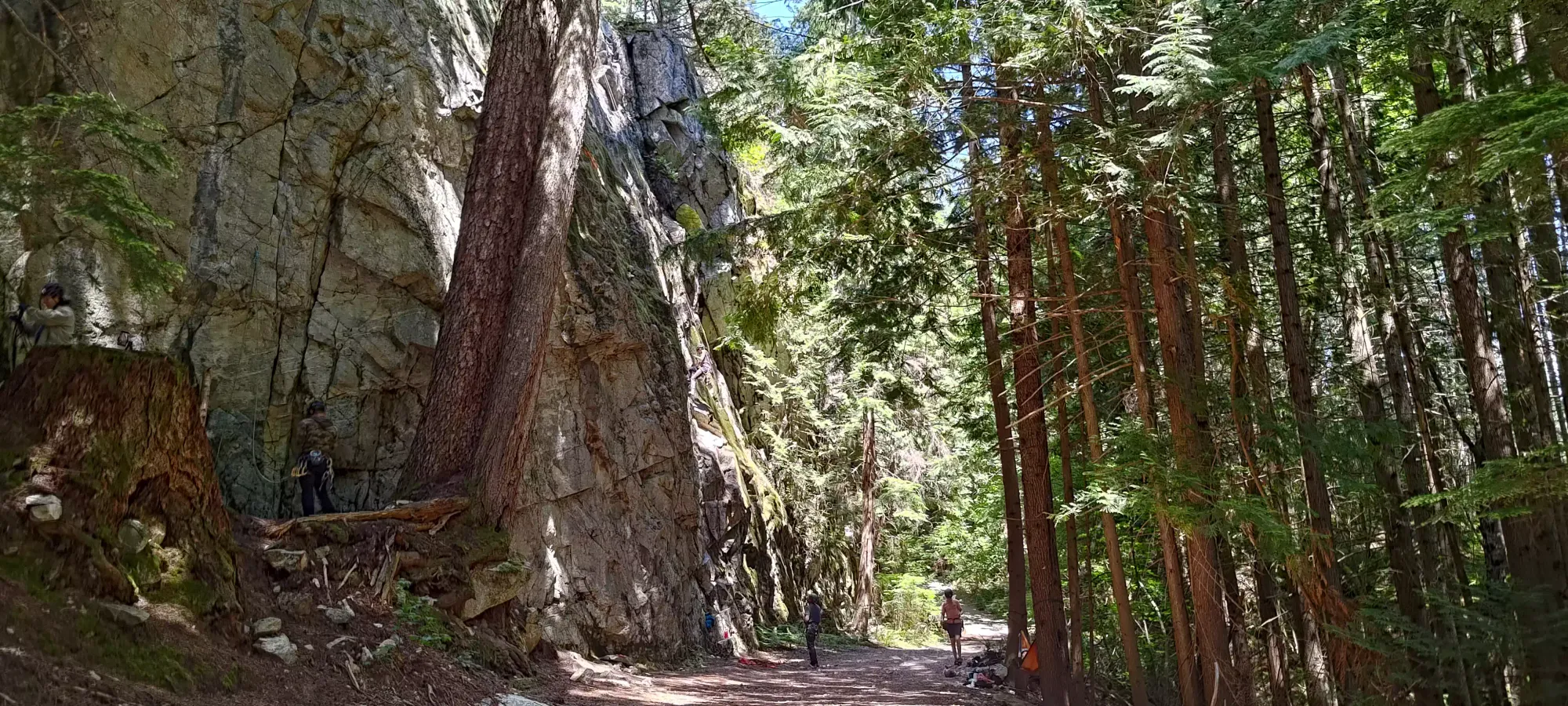
Walking, I had no issues, and just trudged along, wasting little time to rue myself for never remembering to take my sweatband out, as I was sweating pretty fast in the heat, but naturally refused to stop to get it out. A bit under 15 minutes in, I walked by a crag I didn't know existed with a few people climbing. Don't think you can top out the peak this way, but still, seemed like a fun area.
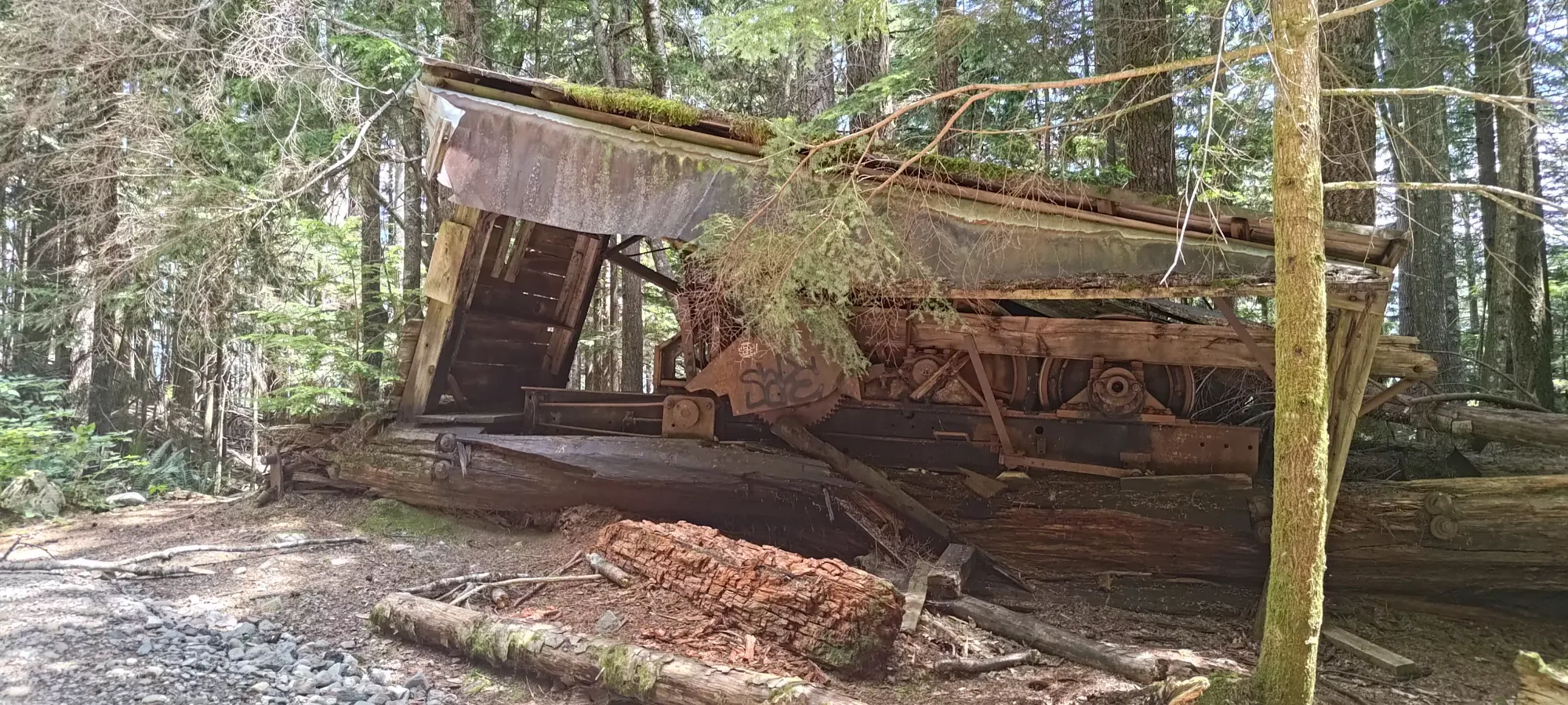
Maybe 5 minutes later, I encountered some very old, abandoned equipment. Maybe some kind of logging machinery?
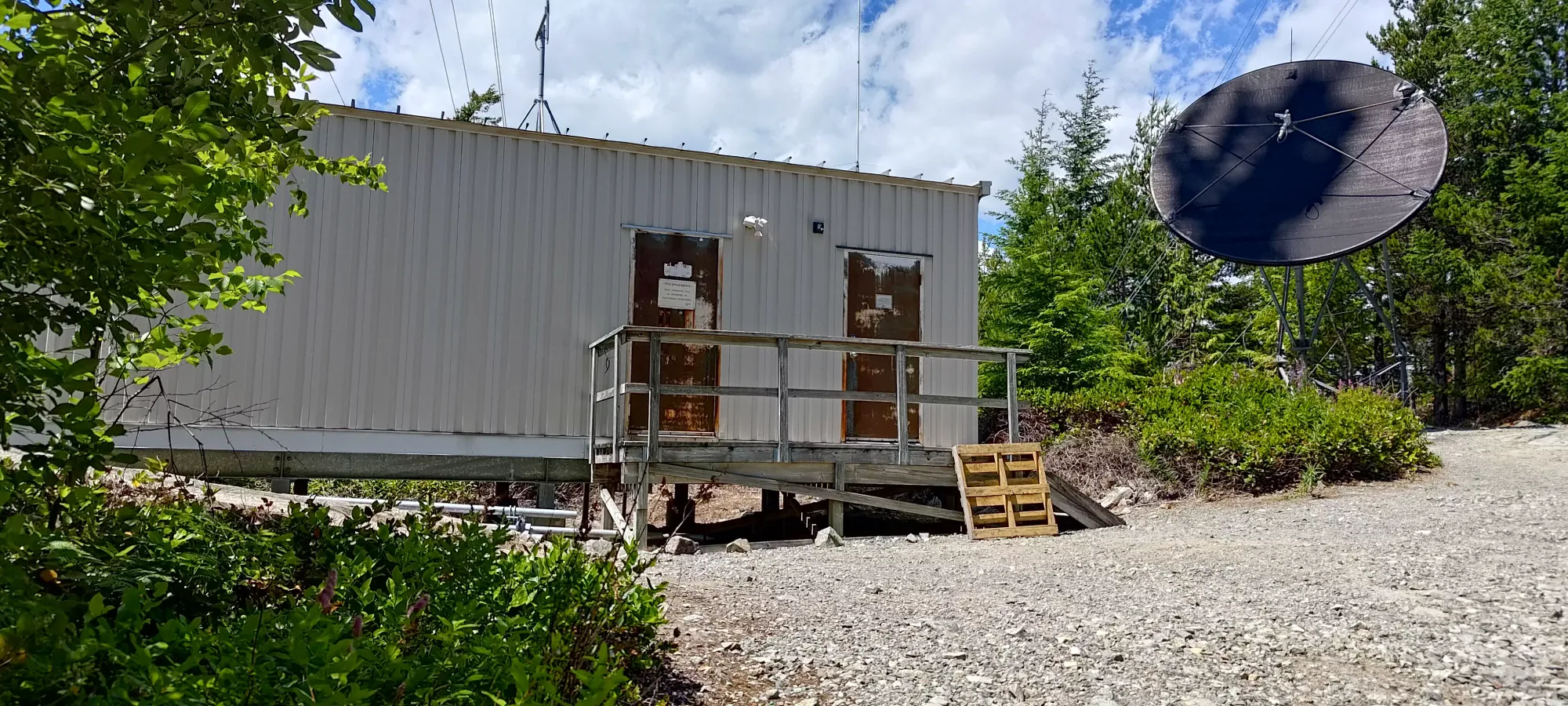
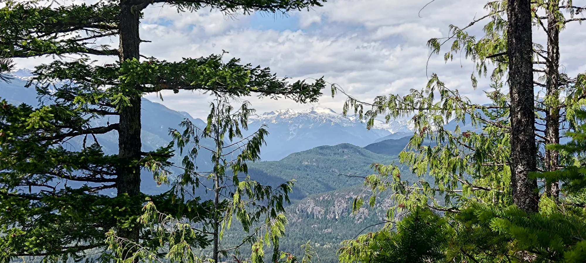
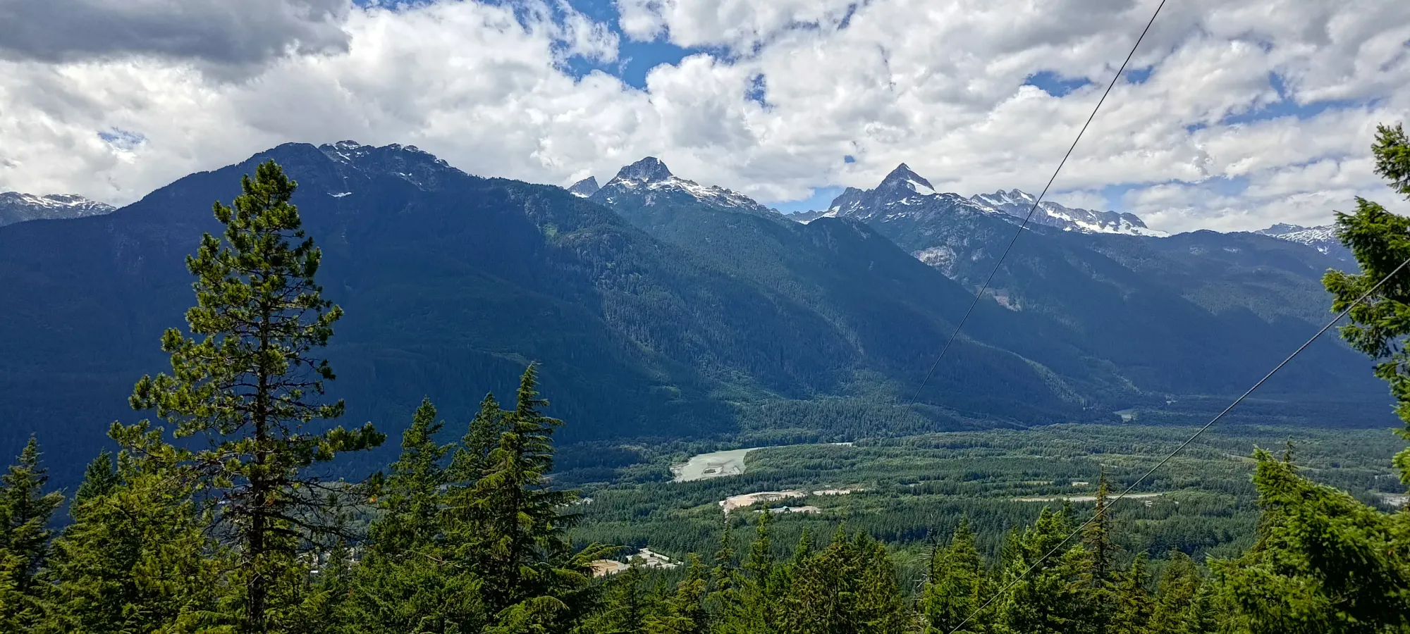
Another ten minutes or so (under half an hour total to the top from the trailhead, very short+easy day), and I found myself looking at a bunch of buildings, a radio tower, and starting the hunt for the true summit. I wandered up along a few of the buildings, seeing a few "false summits" along the way before I finally got to what I could determine as the top in a minute or two.

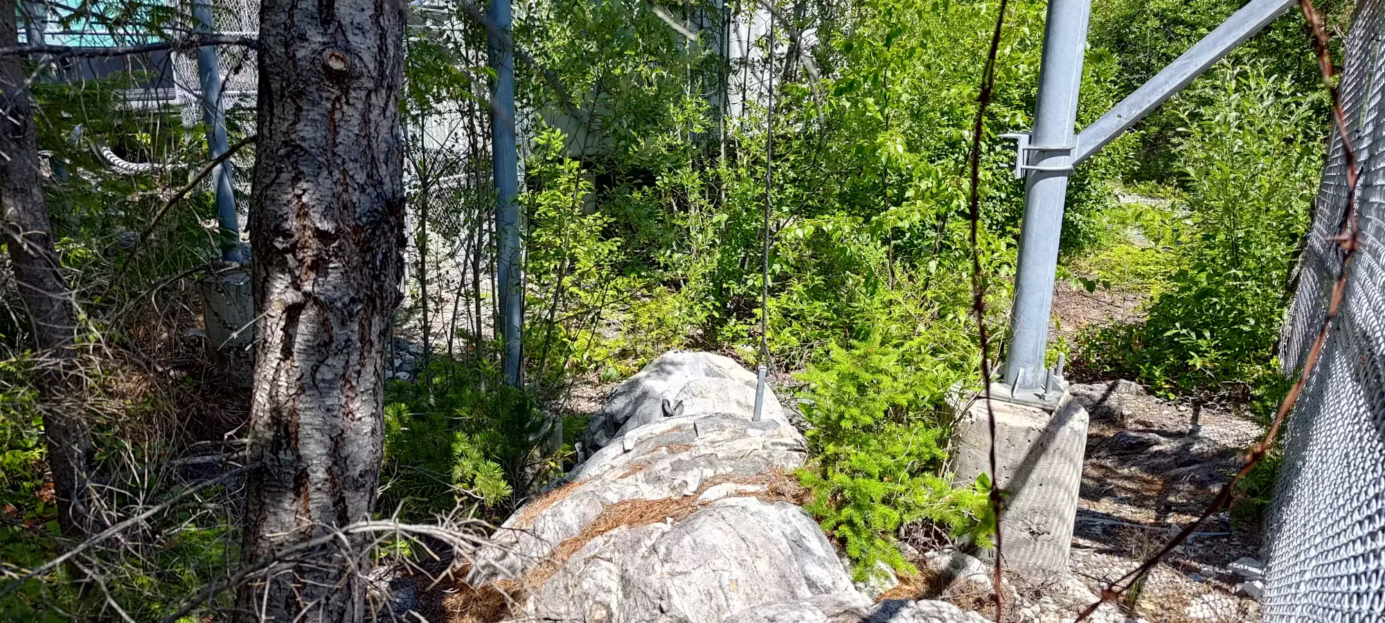
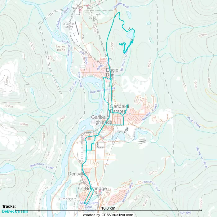
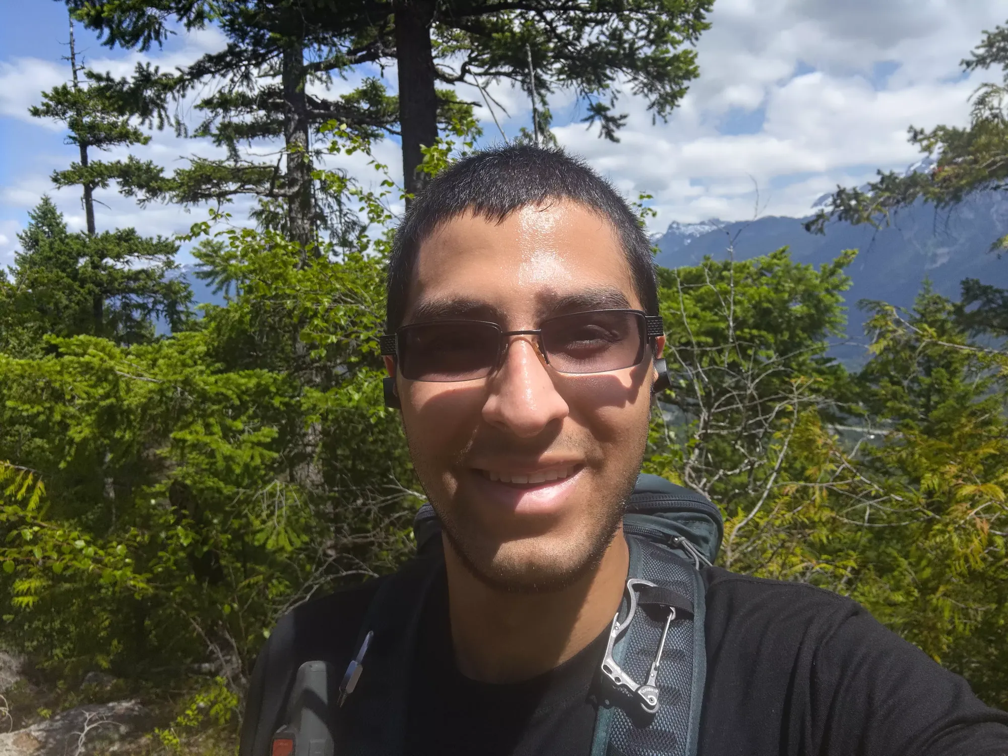
The top had some okay views, but the better views were actually down a bit near the first building. I got a few photos, but didn't linger too long, since the friends who graciously dropped my bike rack off in the morning were going to Elfin Lakes, and we were planning to meet for dinner. Given the head start they had, I didn't want to wait around and be late.


The descent was basically as long as the ascent due to my legs being, well, not intact relative to the average, only having 1 pole, having "not really hiking" shoes, and stopping a couple times to give directions to vacationers unfamiliar with the area. At least they're getting out on Canada Day instead of sitting around! Once I got back to the bike and re-geared for the ride home, I turned it on to see a pleasant 2/5 bars (guess it felt bad about skipping that earlier)! Of course, it lasted for about 10 seconds before going back to 0/5, but hey, it made me feel good for a few seconds.

I started biking just after 2pm, and got back to the highway fairly quickly. However, it was around here where the 0/5 really started meaning 0/5, and my e-bike turned from a "zoom zoom machine" (not sponsored by Mazda) to "a 75lb burden with huge tires and a bunch of rolling resistance". Thankfully, that intersection is about 165m in elevation, so I did have a net-downhill to get back home, which would help. I maintained a good pace most of the way to the pedestrian bridge over the highway, and crossed there to get on the "correct" side.
Once I got across, though, I definitely slowed down to below 15km/h, and was using gears lower than I had expected. Fighting winds of 30+km/h didn't help, in my defense. From that point on, though, the limiting factor wasn't actually the physical exertion (though it was definitely harder than "a normal bike"), but instead my freaking butt! The "very default" seat on my bike, combined with a heavy pack, combined with a recently broken pelvis resulted in me being "less than comfortable". The last 30 minutes/5km were at about biking speed on average because of multiple "rest breaks" just to stand up and get some relief. Seems I'll need to look into a more ergonomic seat in the future.
I got home just over 3 hours and 10 minutes in, which overall ain't bad for the length of trip, I guess. It was a cool way to stay in-signal and make an otherwise boring peak more fun. Plus, I learned some things about my bike, which is good information to have. This is a nice peak to do when you don't have much time and/or have people who want a short hike, since there is a view at the end, a lake at the bottom, and easy trails to get there.
GPX Track + Map