Biscuit and Scone - September 30 2023
A couple local bumps to Squamish, best done by mountain bike


Biscuit
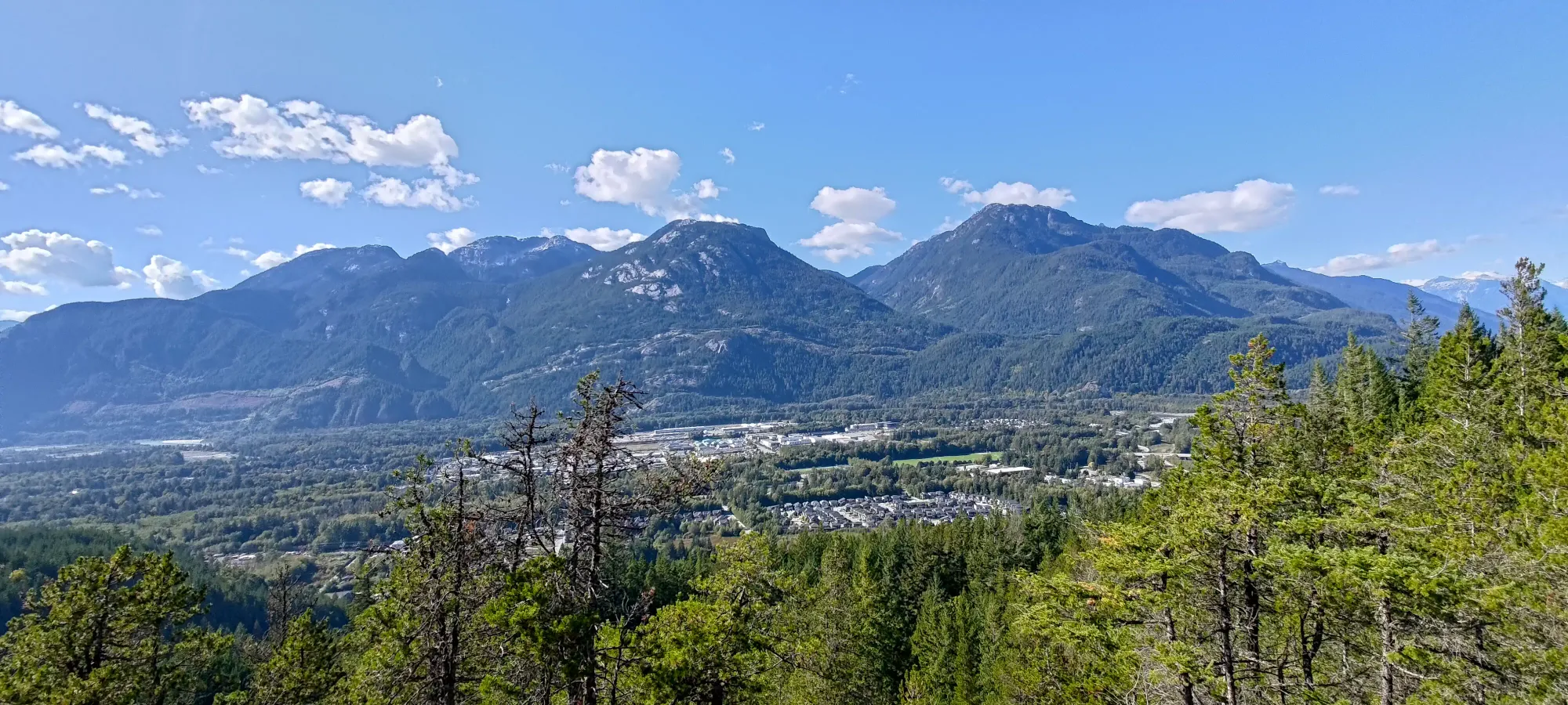
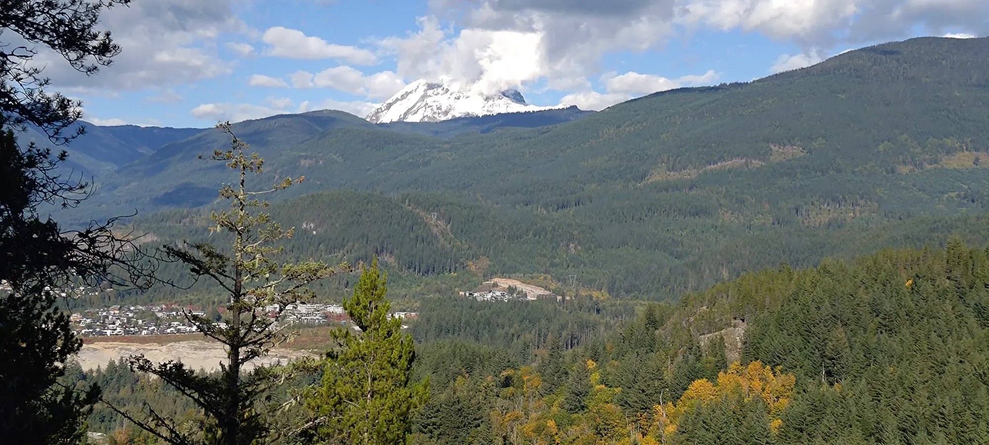
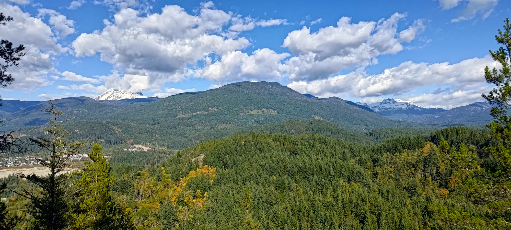
Sky Pilot Group, Squamish, BC
252m
With this weekend doomed to be an unproductive on-call weekend, my hopes for this day were not high, and I considered just playing with my new computers I bought to set up a Kubernetes cluster to replace my aging server that hosts most of my software (including this site!). However, the weather was too good, and my peak count too lagging to sit at home and do nothing. So, I packed up my laptop and set off for a couple bumps I'd had saved for such days, Biscuit and Scone, some subpeaks of the equally unimpressive Crumpit, a hill near Valleycliffe in Squamish frequented by mountain bikers. I decided to make things a bit more interesting and "actually exercise" that I would bike from home, using my trusty ol' "Canadian Tire bike that's probably older than me". If it can get groceries, it can handle a couple easier mountain bike trails, right? So, I packed a light bag, and set out around 10 after 1pm from home.
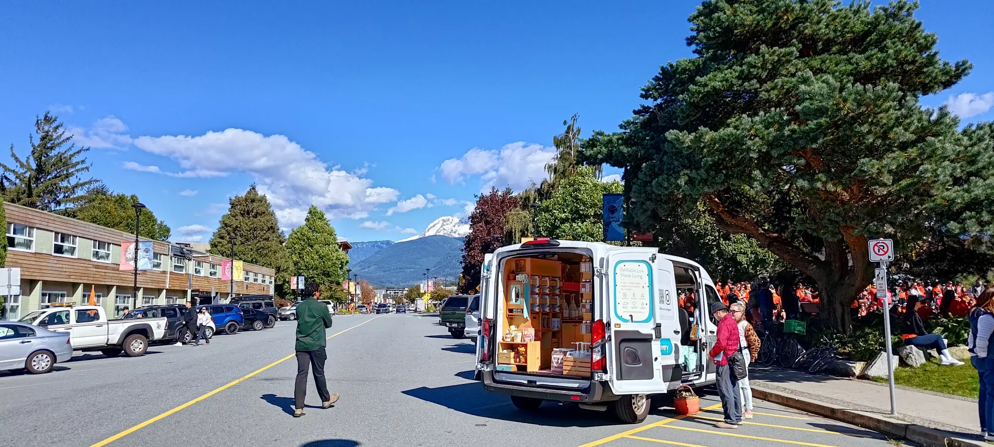
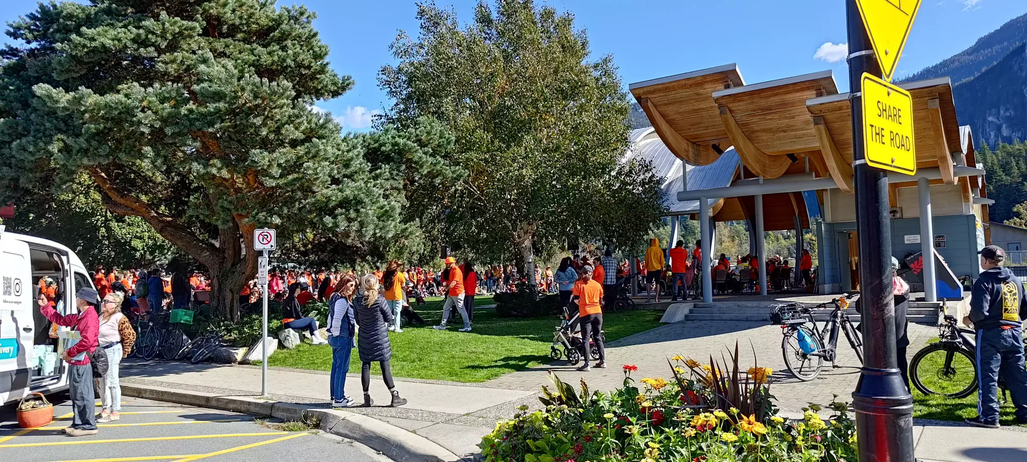
I started tracking at Junction Park, where there was some sort of orange-shirt convention going on (I'm sure it was a real event, I just have no idea what it was). The bike was a pretty uneventful 8 minutes to Smoke Bluffs from there, where I was promptly slapped in the face by a combination of my terrible fitness when it comes to biking, my not-that-nice bike, and a steep hill. In less than 15 seconds, I ran out of steam, and started my first "shameful walk-the-bike" section of the day.

Thankfully it wasn't too long, and I could remount within a minute or two, and get back on the saddle (literally). The rest of the Northridge Connector trail was spent in some pretty low gears, but I got through to the park in 17 minutes from Downtown. I could've taken the approach via the Highway+Hospital Hill, but this seemed more interesting, and it was! I did, however, discover that my tire pressure had dropped since I last checked, and it was quite squishy. I chalked it up to being an "old bike", figured it was a good excuse for how slow+tired I was, and that "people air down to offroad, so it's probably a good thing really", and continued on. From there, it was a short+fun downhill to Plateau Drive, and I arrived at the gated old construction (if I had to guess) road creatively named "Access Road" on Trailforks 25 minutes into the day.

I biked up this road with great effort and much sweat, only to overshoot my turnoff and climb an extra 15 metres I didn't need. However, once I found my trail, I realised I may have made a bit of a mistake. I have biked 2 or 3 green trails (by Trailforks ratings) in my lifetime, and they weren't too bad, really. However, I took one look at this super-tight trail and said "nah f**k that", and started walking. Part of my goal for this trip was to up my mountain biking game ever-so-slightly, but I'm still a giant chicken, and this proved as much.
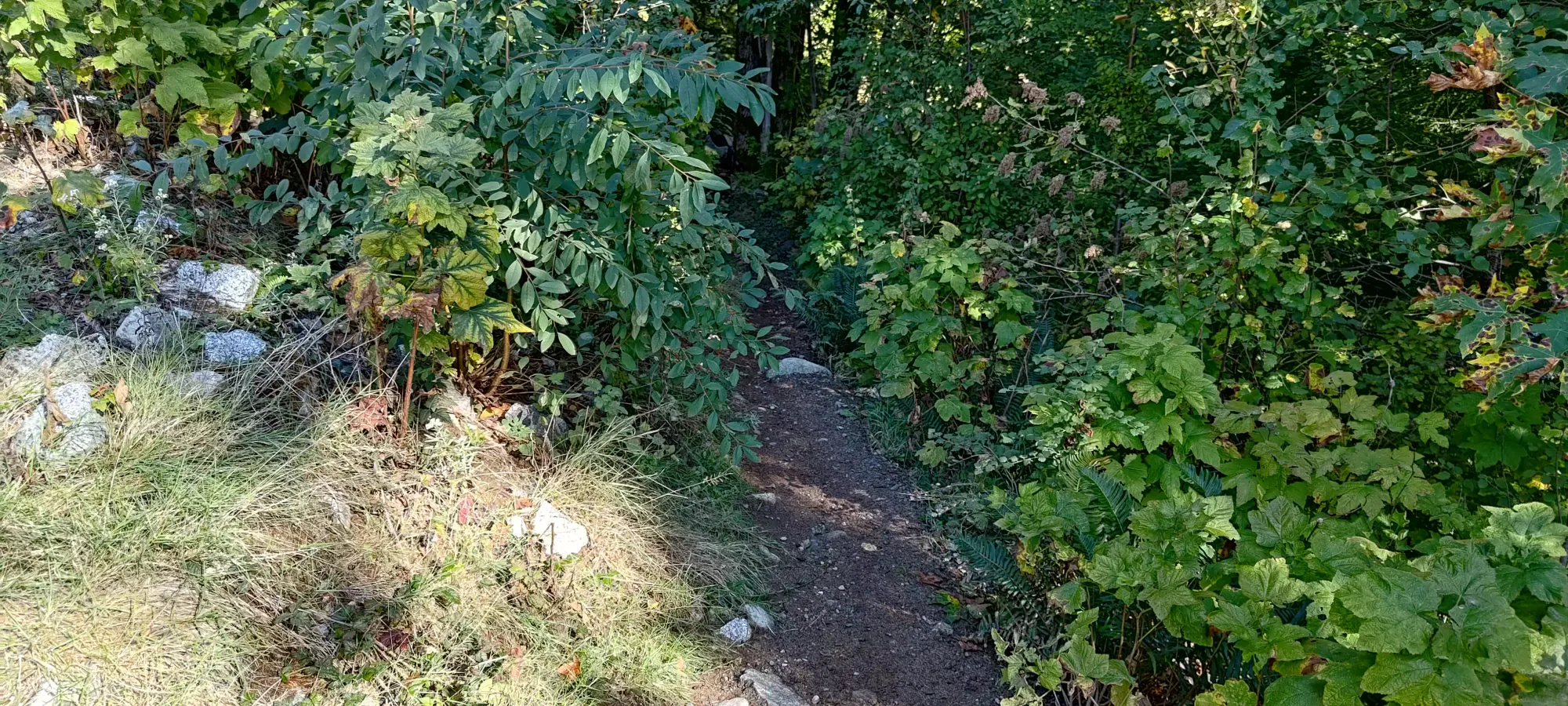
I'm quite glad I made that decision, as soon after that first "I could probably do that if I had to" hill, I arrived at an obstacle that had me seriously questioning the green status of "Endo Out". It was a sharp downhill turn through a gap between a couple boulders and a tree that I could barely walk through without touching something. I guess I'm really not a mountain biker whatsoever by Squamish standards...

Thankfully this connector trail was short, and I soon arrived at the next "Access Trail", where I met a couple of actual mountain bikers with actual mountain bikes who consoled me, reassuring me that "everyone has to start somewhere" as I mentioned I may have overestimated my abilities. After letting them pass, I biked along this trail which was much more in my comfort zone (though still not trivial with some sections with large rocks jutting out of the dirt), until I got to a FortisBC pole that seemed like as good a place as any to stash my bike. Given my performance on a green just "getting to the hills", I figured it was a safe bet that I wasn't gonna be cycling up any peaks for the day. At least I managed to get to around 100m, even if that small amount of gain took me like 40 minutes 😅.

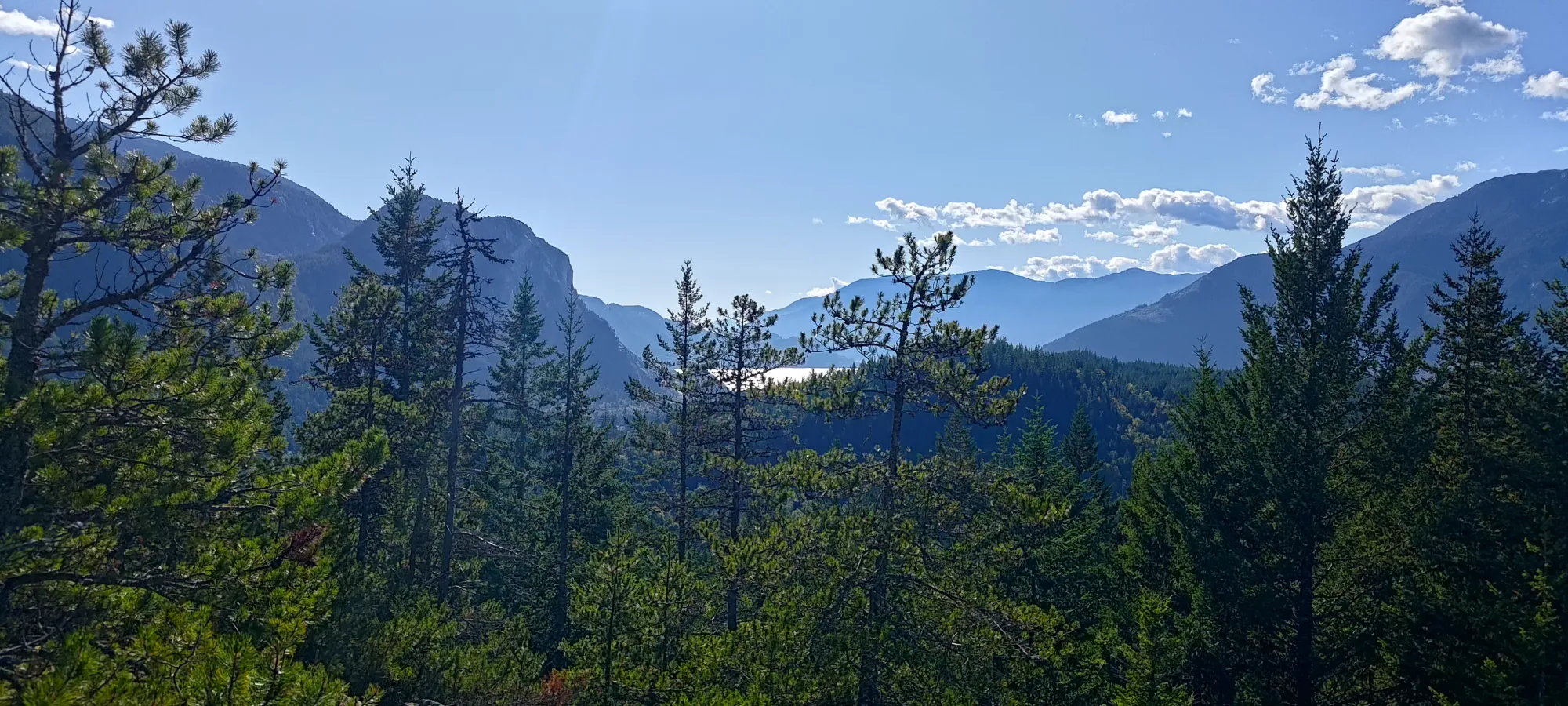
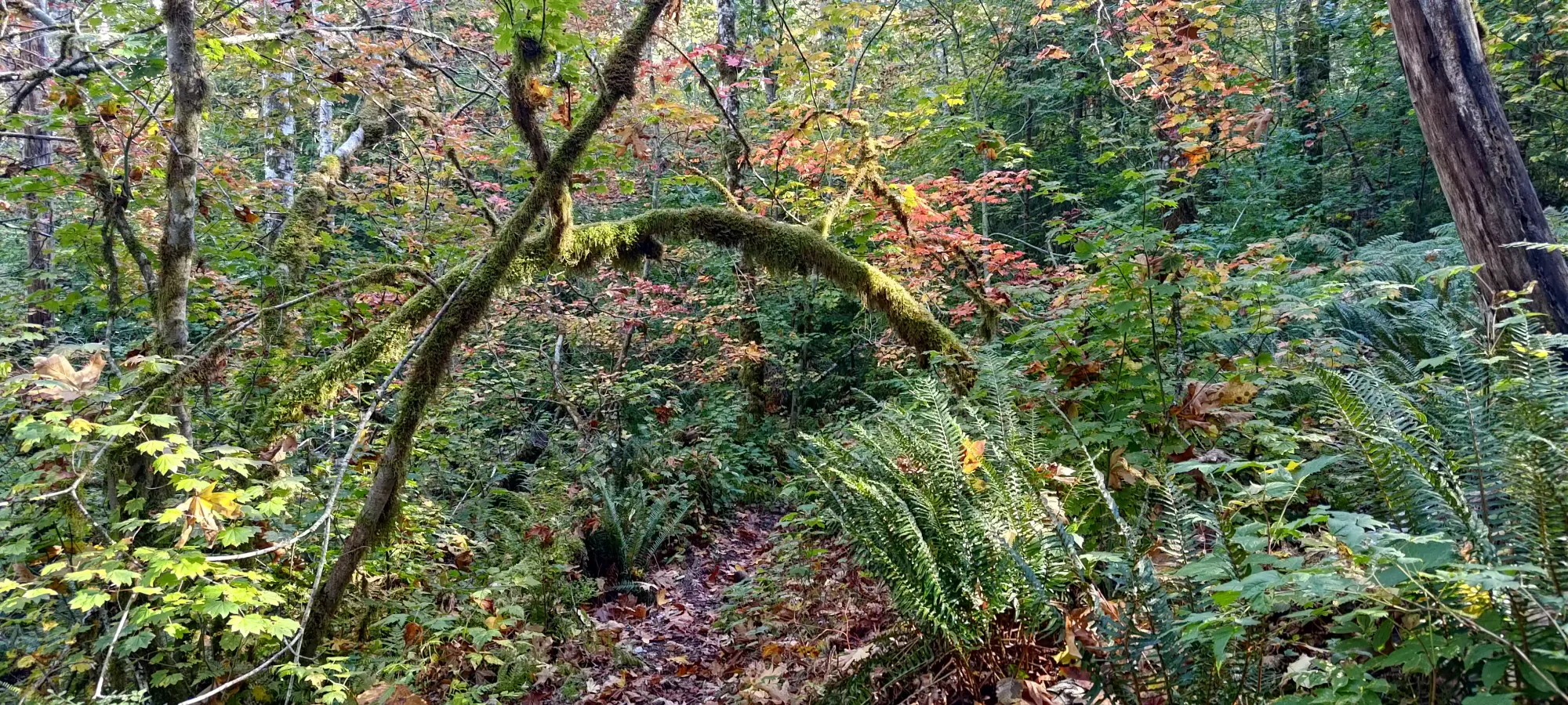
With my poles out and bike stashed, things started picking up (pathetically enough). The old road was in good shape for hiking+biking (the latter for actually good bikers, though), so I got to the base of the "Spencer's Big Gay Ride" trail up to Biscuit in 10 minutes. I spent a lot of time, so even if I was pushing for the utmost speed (I was not, since I knew I had lots of time for the relatively easy day ahead of me), I wasn't going to be breaking any records, as I spent a ton of time checking maps. There's a ton of both mapped and unmapped trails here for people to yeet down on their bikes, so one needs to be pretty careful with route selection (and watching for people screaming down on wheels, of course). The Spencer's trail (far too long to type out in full) was pretty nice for hiking, and I got to the fork for the "Valley Drive" in about 25 minutes, gaining about 60m in the process.

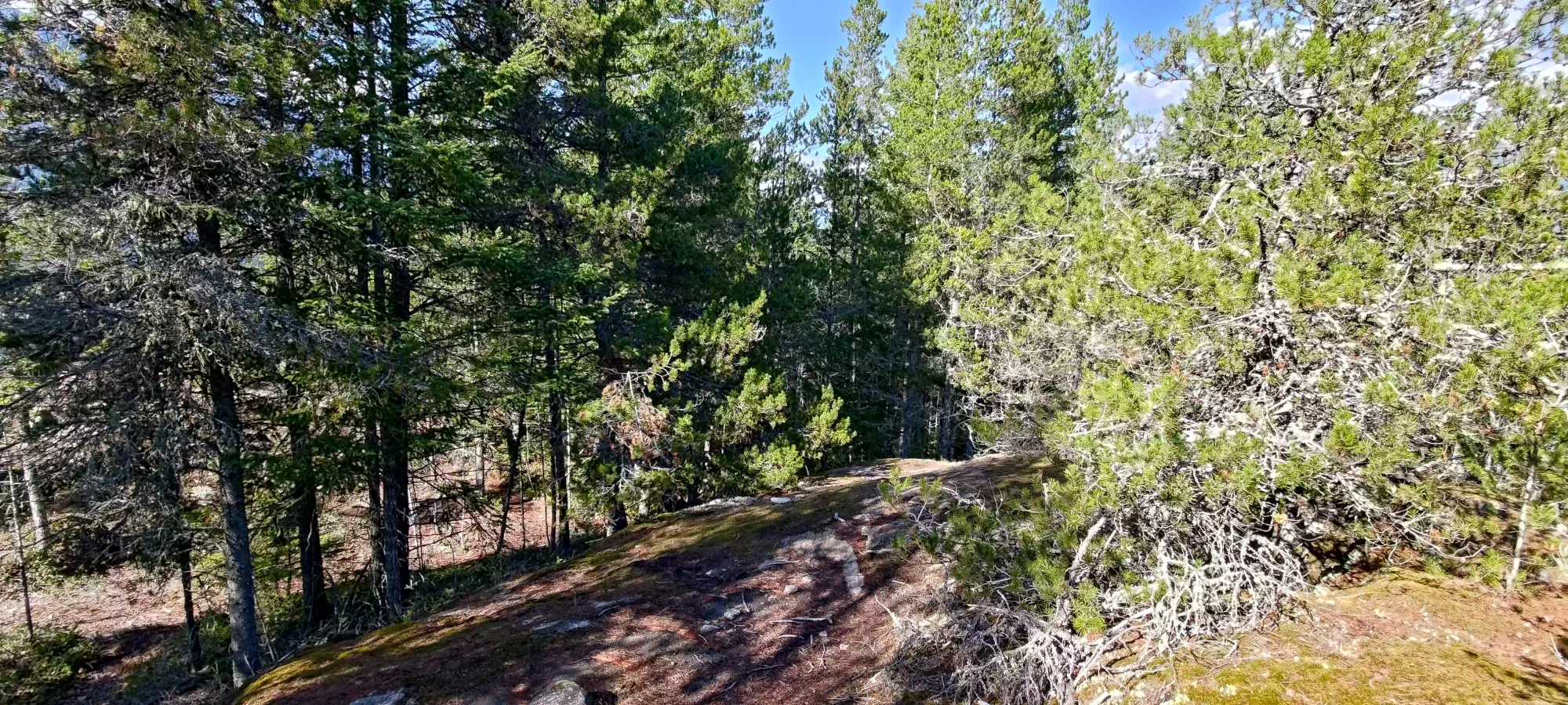
Getting up was a pretty simple, if steep process, gaining 100m in about 250m of distance. There's a bunch of random offshoots and diversions, but most lead in the same direction. Near the top, you find yourself between 2 "potential summits", but the climber's left side of that little valley looks higher, and it is. Once you get near the top, you're greeted with some typical Squamish dirty slabs, and honestly not many views. If you go to the slightly lower western bump beside the "summit", though, you get some good city views.


Scone
Sky Pilot Group, Squamish, BC
256m
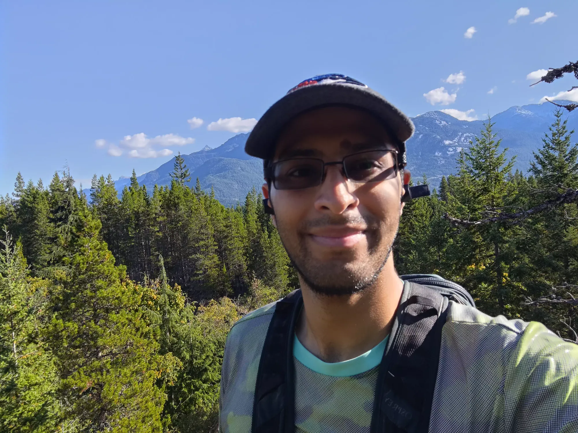
Descending from the top of Biscuit was a bit slippery, as the steep trail was still damp from a recent downpour, but I managed with careful stepping and judicious application of poles, and was back down in just as much time as it took to get up. From there, it was an easier walk along the same Spencer's trail, where I encountered a trail runner who'd come up another way, and decided it'd be fun to see if I could hike as fast as she jogged. I actually did pretty good, until I hit a flat spot a few minutes later, and she zoomed away, leaving me defeated but closer to my objective.
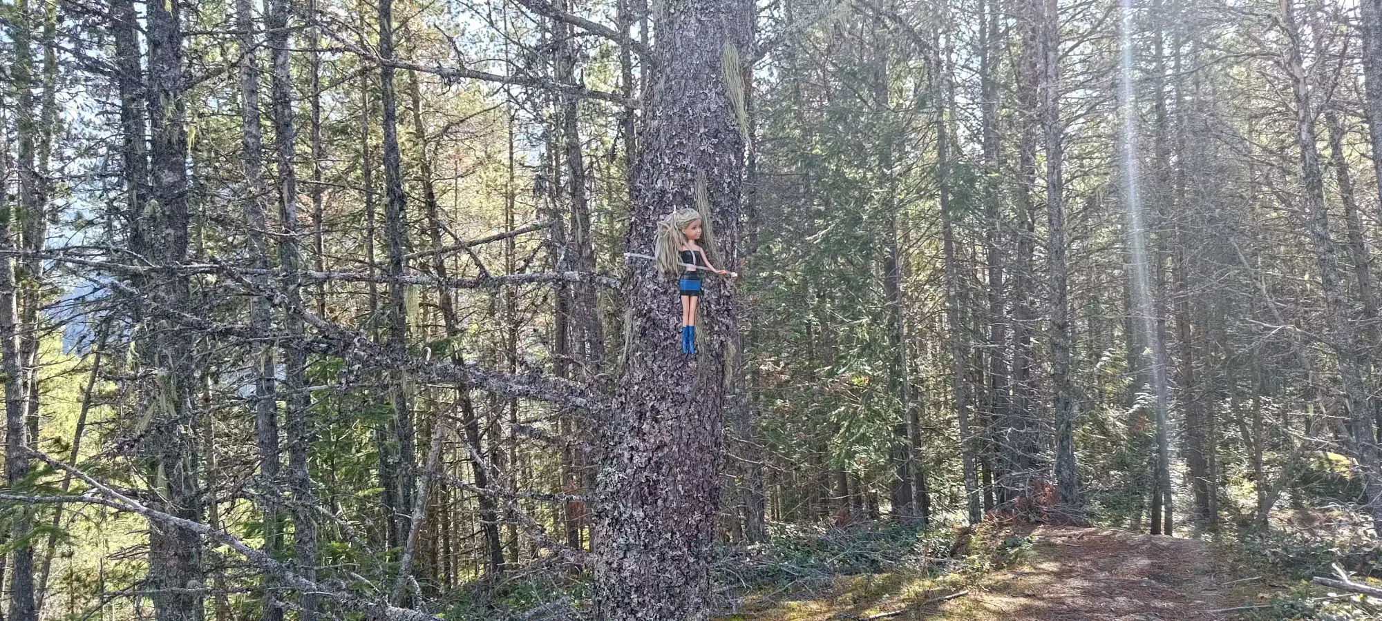
Since you can never be sure about the accuracy of the summit marker on Peakbagger, especially for "trash" peaks like this, I saw a high-point-looking spot and a trail, so up I went. It got me up to 249m by my GPS, but while I couldn't explicitly see a higher point, I also couldn't tell for sure there wasn't one, and there were trails up other bumps in the same contour on my maps, so after taking a picture of a rather puzzling marker on a tree up there, I went back down and traversed across to the next bump.
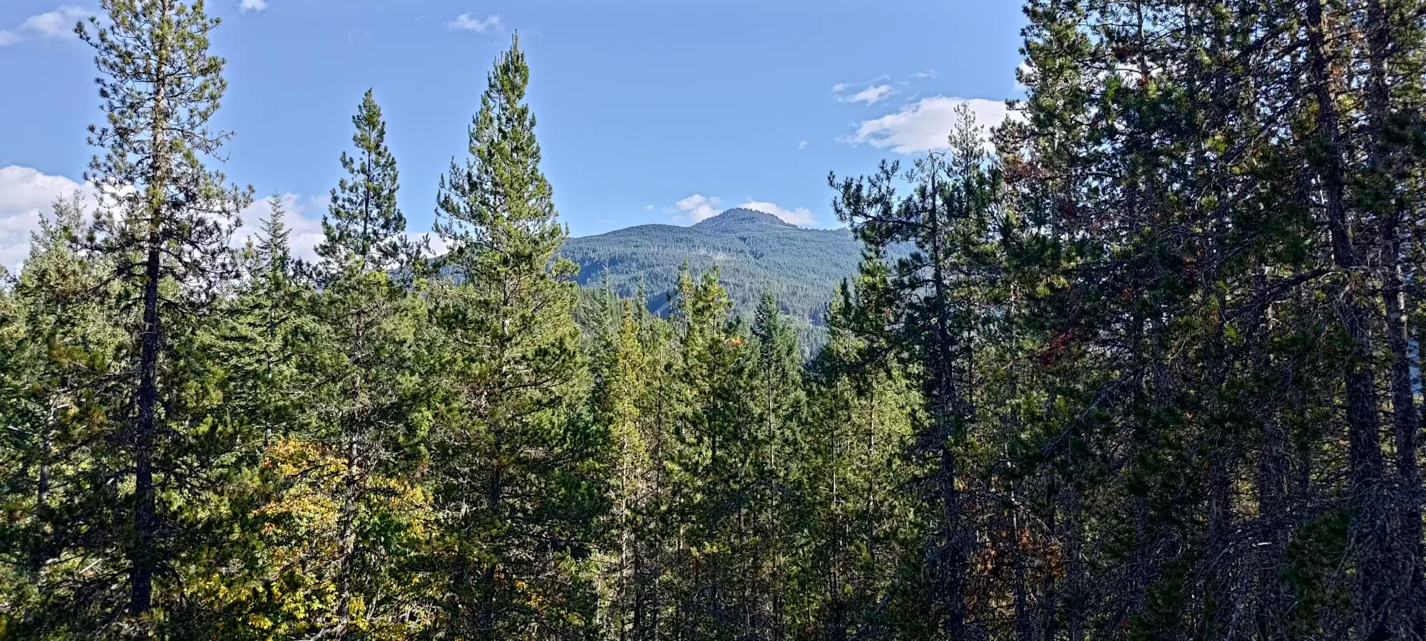
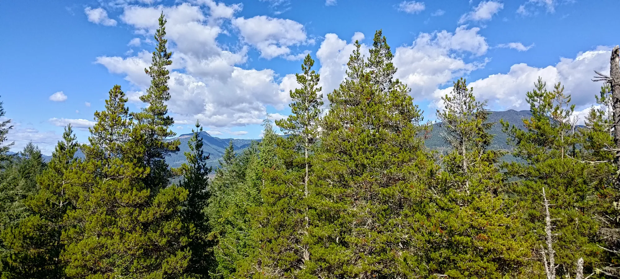
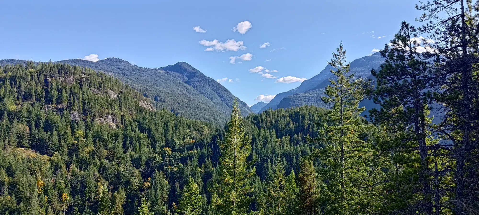
Another couple dozen metres down and back up, and I got myself up the next bump. This one had a nice sneaky view of Habrich, but was ALSO not the summit, this time showing me a clearly-higher bump one more section over to the east, so off I went once more...

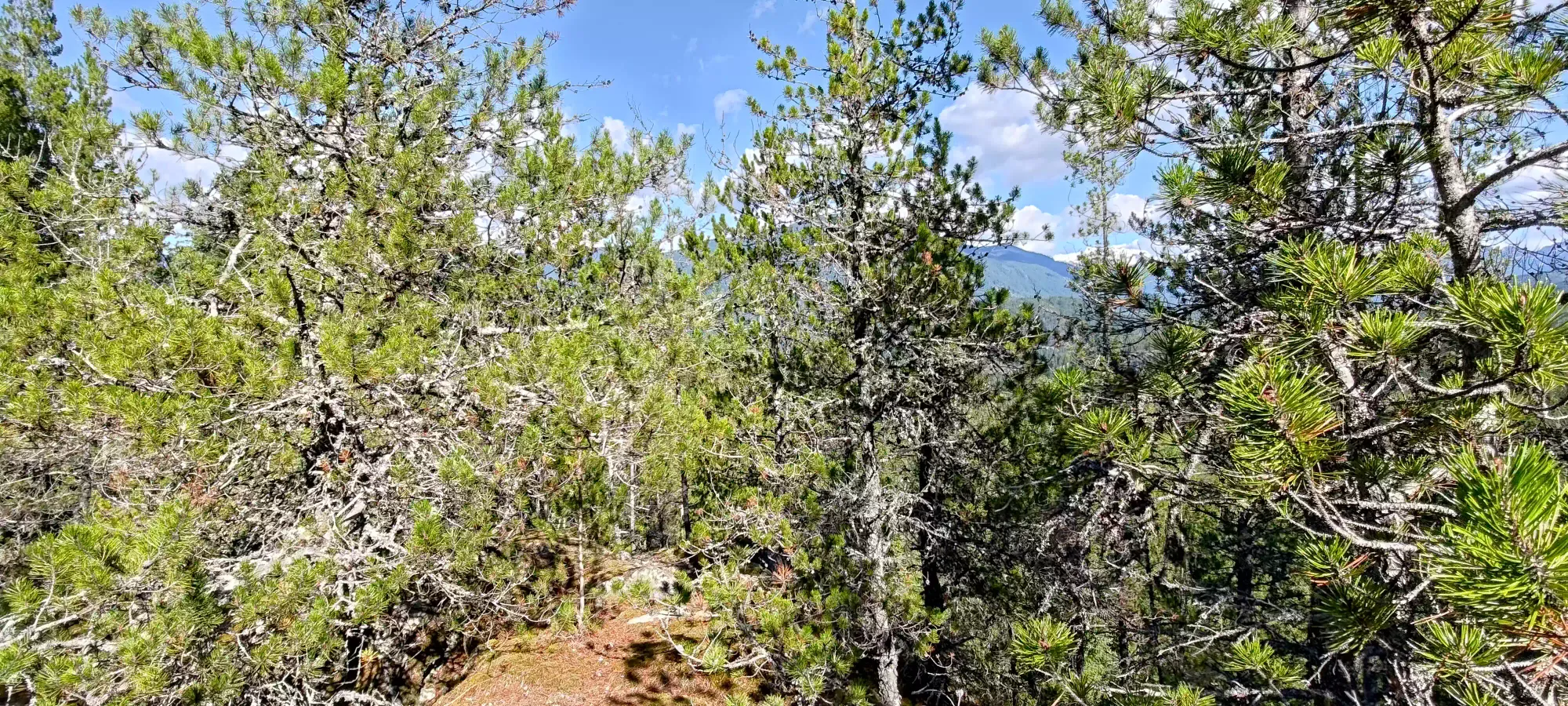
One more descent, and I found myself a trail up to the last summit candidate, close to but not quite on the "For Angie" trail marked by Trailforks. This was definitely was less popular than anything else I'd been on previously, and the final 20m or so of elevation were on mossy rock that clearly was not disturbed much. However, once up top, I was greeted with some actually decent views, so I'd say it was worthwhile.
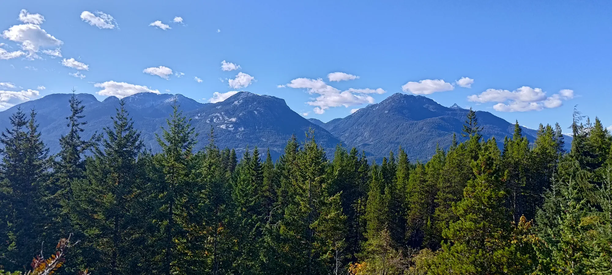

Once I got off the true summit, I went to a couple bumps nearby, and was rewarded with some more views, and even a couple random benches a bit further east. I got a couple more pictures, then devised a plan to get back to my bike.

With my sightseeing quota reached, it was time to figure out how to get back. I could have gone back the way I came, then down the north face, and around to the east, but that seemed like a lot of unnecessary walking. I instead found the "For Angie" on Trailforks, and decided that cutting down most of the south face before heading east and connecting with S&M without having to go north of the summit was much more efficient, and decided to do that.
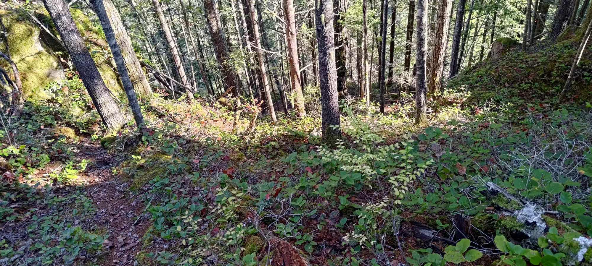
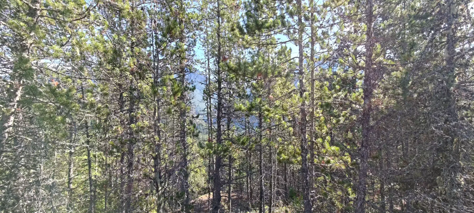
The beginning had some deadfall to step over, but once I did, it was walkable, if a bit suicidal to bike, and was also clearly not maintained. I have no clue how people would bike this, though, as there were parts I was a bit concerned to try and walk, and some stuff I'd bet would necessitate full-on scrambling to get up. Mountain bikers really are a crazy bunch. At around 170m I hit a fork, where I went the right way, then second-guessed myself, found out that the other way was just a random loop around a tree, then headed north on a more-overgrown trail (though it was at least less steep) called Pin Cushion, which brought me back onto easier terrain (S&M, though I didn't see any Metallica CDs, strangely).
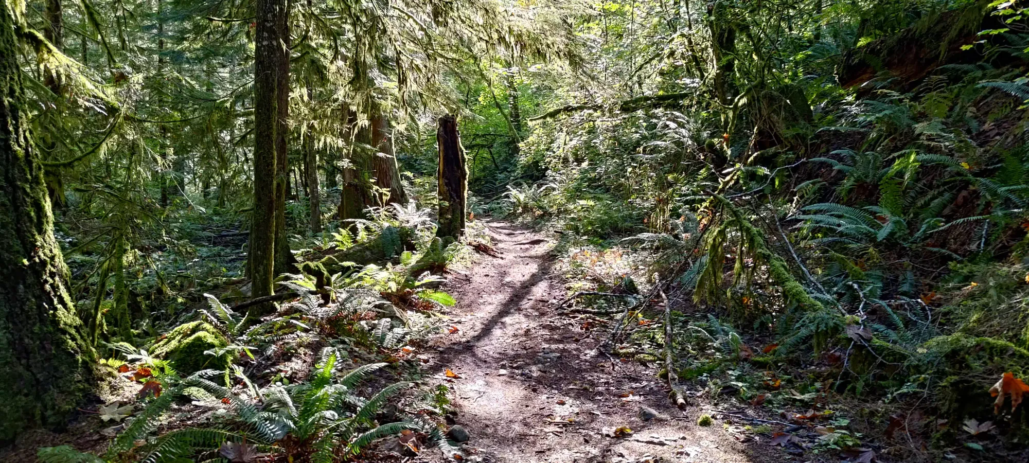
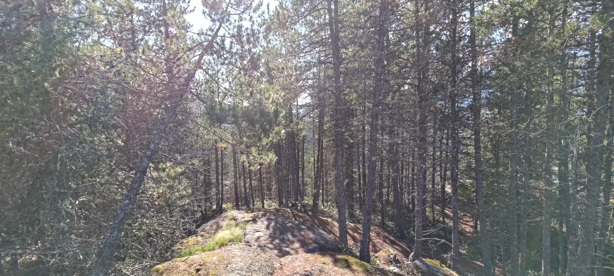
It was about a 10 minute walk along this trail until I got back onto the old road on which my bike was stashed. Conveniently, this exited quite close to it, and I was reunited with my bike about a minute after I got back onto the old road. Thankfully it was still there, helmet and all, so I geared up and started the ride down.

Biking down was a bit hairy (for me) with some of the longer hills with bigger rocks, but I managed to get down to the road in one piece. I can't say the same for my bike, though. I felt some of the bumps a bit more than I expected, and once I got onto the road, I figured out why: my rear tire was flat. That sucked, but I didn't have a pump on me (or I'd have filled up on the way up when I noticed I was a bit low), so I decided to just bike along until I found someone with an open garage and hope they'd lend me a pump, if it was just a small leak and not a full-out puncture.
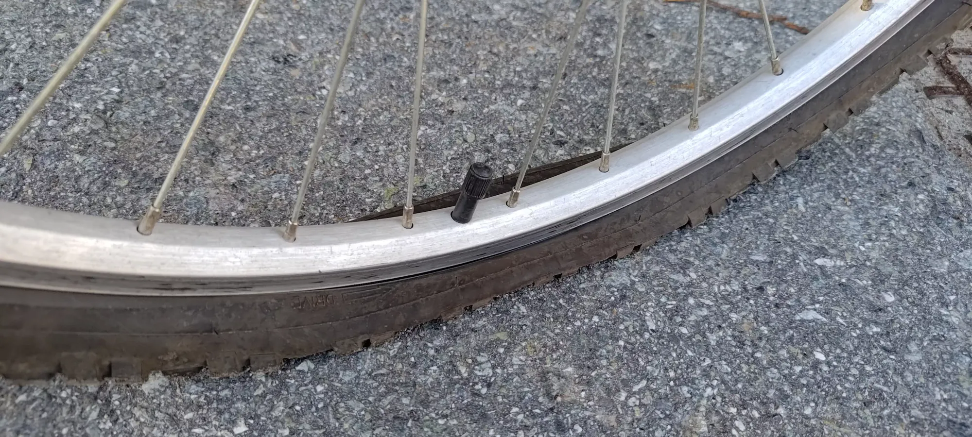
The bike down from this point was obviously a lot slower as I tried to avoid warping the rim by riding without air, and kept my head on a swivel looking for someone who might be able to lend me a pump. After about a kilometre (thankfully all flat or downhill), I finally found someone who let me try. I got a bit excited as it felt quite firm after some pumping, but once I sat down, it was right back to totally flat. They were actually super nice and offered to check for an inner tube, but they only had "real mountain bike" sizes, not "Canadian Tire mountain bike" sizes, so I thanked them for letting my try, and continued limping my way down, making some rather unpleasant squelching noises on the way.
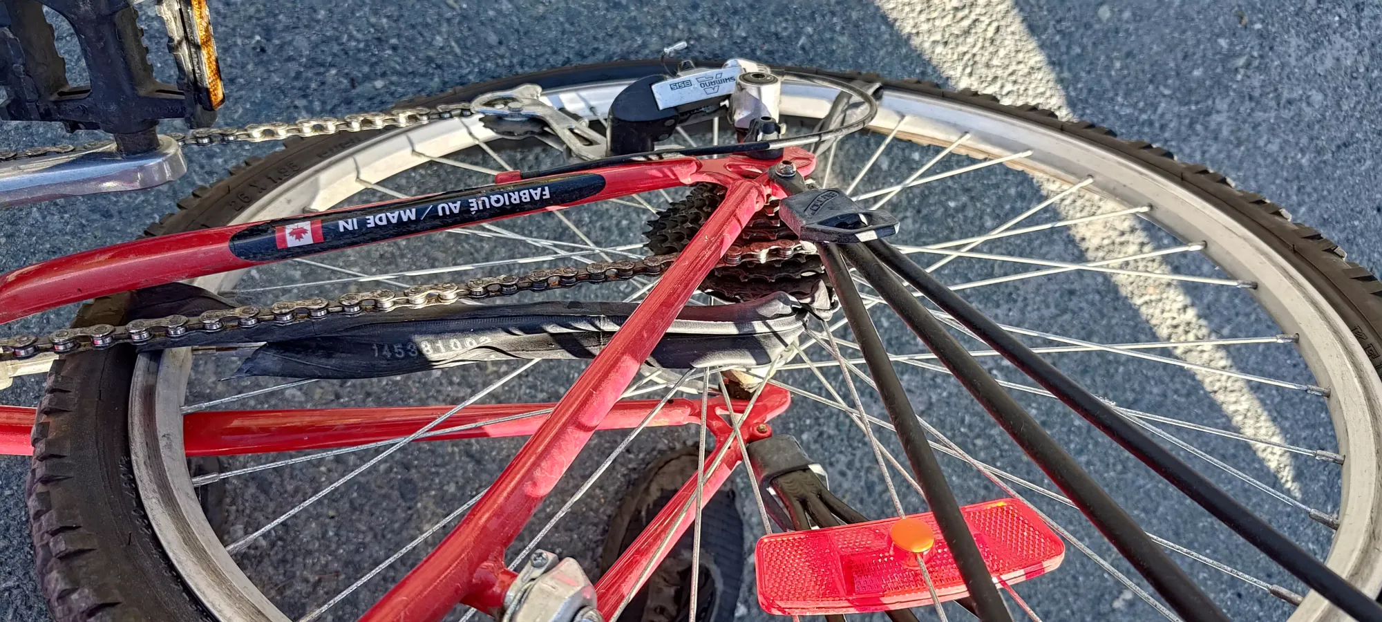
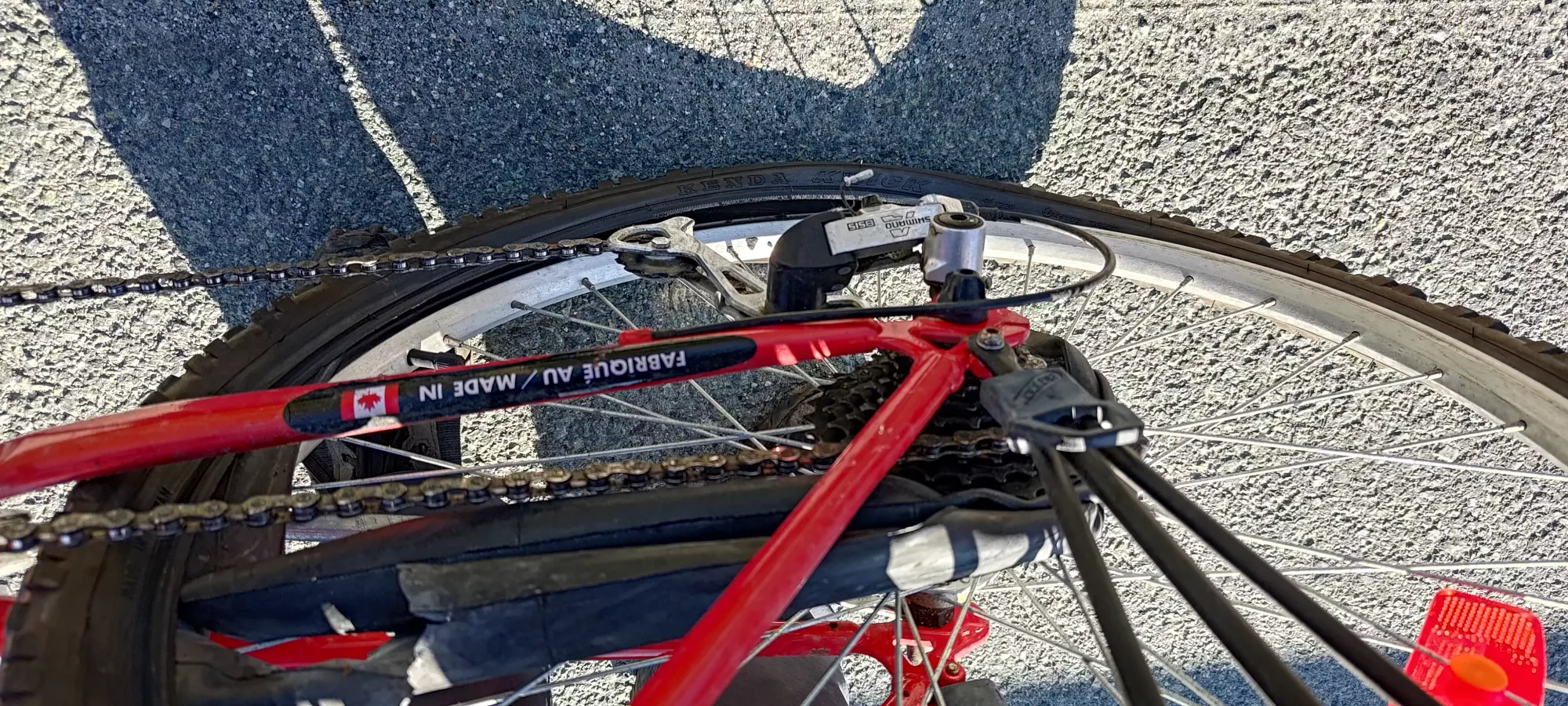
I had a strong reckoning with how much riding flat seeps your power getting up the small hill before the Hospital, where I drew some snickers from passing bikers with intact rigs, and I could then finally start my descent towards downtown. Sadly, this descent is where my luck ran out. Despite what I thought was great restraint riding the brakes and not just yeeting down, my tire decided enough was enough, and actually started jamming a bit. I got off and found a piece of inner tube stuck in the brakes. I removed it, and kept going, not giving it too much thought other than "I really hope I get back before it just falls apart".

Sadly, it did not get me back, nor did it get me more than about 20 more metres before it gave out, right after the bridge over the Blind Channel. The tube was totally wrapped up around the gears and the spokes of the wheel, and was not going to turn anytime soon. The tire was also detaching and starting to scrape wheel, so I knew I had to start carrying the bike if I had any shot of it staying intact (other than the lost-cause tube).
The next 20 minutes were a very tedious walk back home with a bike over my head (there's not really a pleasant way to carry a bicycle, it turns out), drawing quite a few curious looks in the process. I thought I'd finished my journey when I made it to Corsa Cycles, the main bike shop downtown, but it turns out that they closed early for the holiday (I forgot it was actually on the Saturday and not the Monday since that's when the day off is for me) 🙃. So, with that, I had one final trek all the way home before I could get the bike off my shoulders, and unwind from what was supposed to be a nice, simple outing. I guess nothing is ever simple when I'm around 😅.
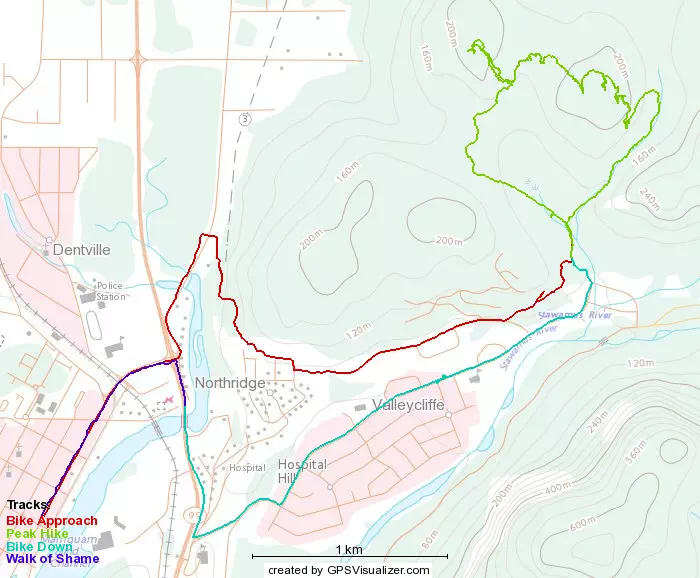
GPX Track + Map