Alouette Mountain - June 25 2023
A new "biggest hike since my injury", although a bit bigger than I was expecting
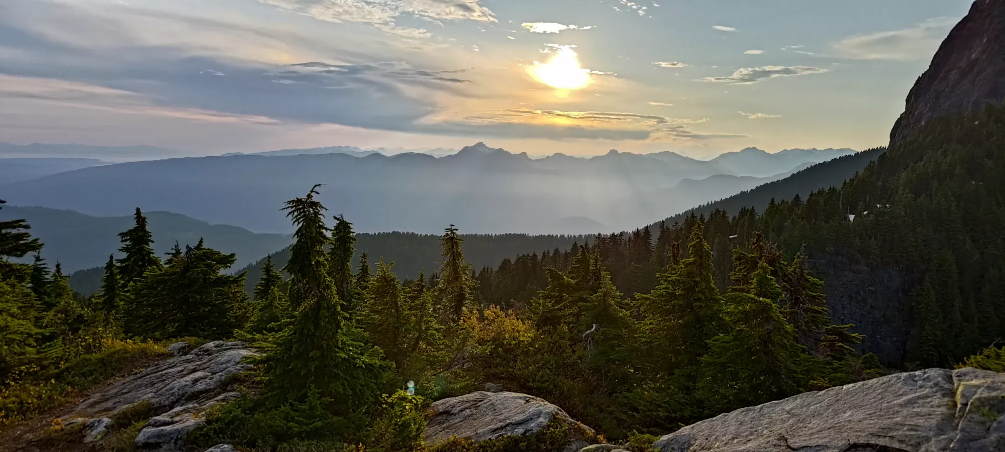
Golden Ears Ranges, Maple Ridge, British Columbia
1361m
After the previous day's 4 peaks which somehow amounted to less than 400m of elevation gain (lots of driving), it was time for a "real hike". Perhaps more importantly, I had arbitrarily set myself a goal of gaining 1000m in a day before the end of June, and this was the last weekend day I had to make that happen, so I was extra determined, despite my midnight return the night prior.
I called Logan on the way back on Saturday night to cement the plans of "let's just both wake up naturally and we'll meet up whenever we're ready". Alouette is a pretty popular mountain even among the broader hiking community, and my previous biggest hike post-injury to the tune of 730m elevation gain went very smoothly, so I figured it'd be no big deal with a late start.
Of course, nothing ever gets to go smoothly, so I got a phone call that woke me up before 9am (which was not ideal given I got to bed no earlier than 2am). I then proceeded to not be able to go to the bathroom for many hours (a prerequisite to hiking for me due to my colitis), until I just gave up on waiting and left at noon, hoping the errand of getting gas and clearing my car from the mess of dead bugs from the previous day's adventure would get things moving. Unfortunately, they did not, but I felt like I'd be able to make it to Logan's place in Vancouver, so I pressed on down the highway.
But since nothing can ever go smoothly, someone had to flip their car on the highway and get the highway shut down, so that made me sit in the car for an extra hour. It was a beautiful day, so it wouldn't have been too bad if I could've gone out and enjoyed the sun, but because I was still nervous about needing to use the bathroom, I just sat there to avoid aggravating my body with nowhere to relieve myself. They did clear the road faster than the last time I got stuck on the highway heading south because of an accident at Brittania Beach., at least. I got to Logan's place a bit after 2:00, did my best to go to the bathroom so we could get things moving, then we carpooled to Golden Ears Park.
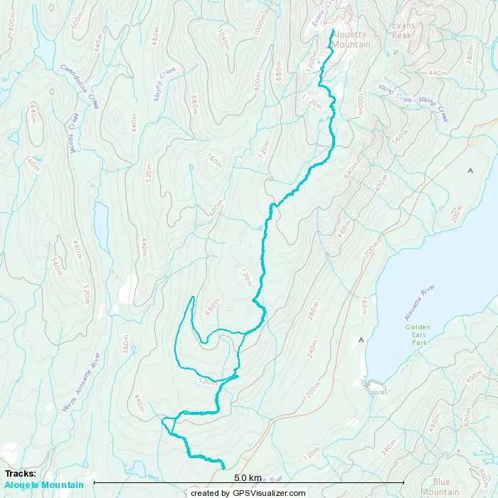
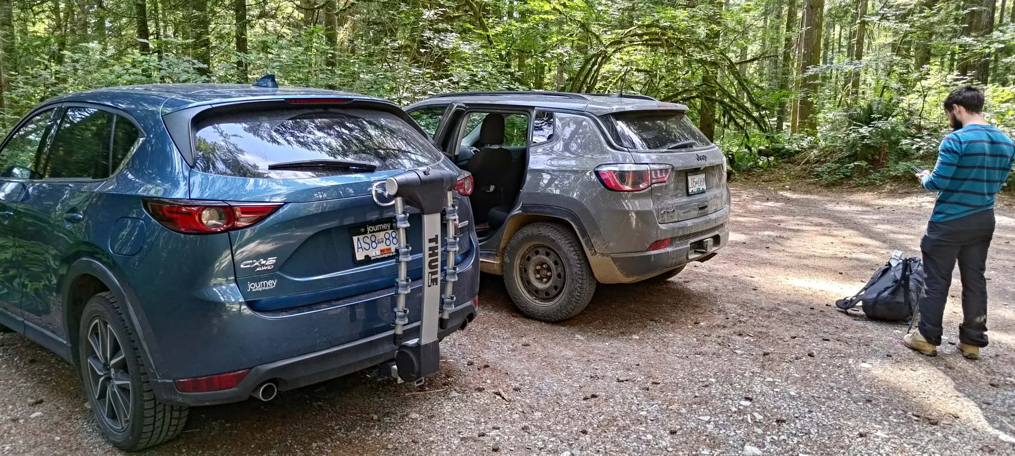
We parked at the trailhead on Mike Lake Road, for a few reasons. For one, it doesn't require a day-pass, and we didn't plan that far ahead. The next reason was that since I'm still recovering, and the most awkward movement for me to make is going down stairs, I figured the more gradual south approach would be better for me vs the steeper trail that starts at West Canyon and goes up the east side of the peak. Once we got there and geared up, it was 3:42pm. We were hoping that we could summit in under 4 hours (I'd done 300m/hour or better in previous ascents since being hurt) and be down in under 3, giving us time to get out before the gate closed (11pm), and if we were lucky/fast, we might even make it to our favourite place for dinner when in the area if we hurried.
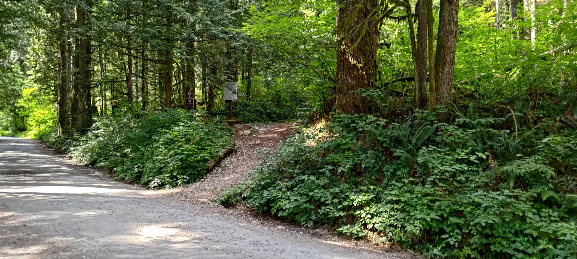
The first sections of the trail went very smoothly. We got to the junction for the Incline Trail (1.4km, 150m gain) in 23 minutes, and decided to take the "Knee Saver" trail around it instead of taking it up as per the route we had downloaded, since, well, I just had a metal rod shoved through my knee and it could use some saving. That took another 9 minutes and brought us another 60m up the trail. Both of these trails were in excellent shape, both easily bikeable and walkable (although I believe Knee Saver is a hiking-only path).
We soon merged onto the Fire Road, which was understandably also very easy terrain for my ankle, and that took us east for about a kilometre without gaining much elevation, then it curved north up to 510m elevation, where there's a junction for a "shortcut" trail. We got up there in another 23 minutes, putting us at a total of 55 minutes, 3.5km, and 290m gained. More or less on-pace!
However, it was there that we made our first big mistake. We didn't study the maps closely enough, and naively decided that since the fire road was "a road" and longer, it'd be easier and more efficient terrain for me. This was a mistake because while the road was easy terrain, it was WAYYYY too flat. The shortcut trail covers 125m of elevation over 800m. That's not the shallowest trail ever, but it's plenty efficient, and not so steep as to just be stairs or something. The road, on the other hand, covers that same elevation in 4 KILOMETRES. That meant we wasted about 50 minutes covering just 125m of elevation, and fell behind schedule pretty fast.
From there, it was another ~1.5km to gain just over 60m of elevation. That put us at 2:05 elapsed, 8.75km walked, and only 495m gained. Not great. From there, our track told us to take the fire road, but we were kinda over the fire road wasting our time, so we instead took the hiking trail that goes near Beautiful Lake (I regret to inform you we did not detour to check it out, so I cannot confirm if it is in fact beautiful). Naturally, this one time we took the hiking trail, it was a total nuisance, with a surprising amount of deadfall for such a popular area, muddy sections, and a bunch of undulation. This section lasted for 1.4km, took us 35 minutes, and netted us only an extra 122m of elevation progress, getting us to the 825m mark.
Here, we decided it'd be wise to have some water and the snacks we'd brought (I only had breakfast due to the traffic and digestive issue I encountered, so my sandwich was a welcome addition of calories). Since we were low on time, though, we got that over and done with in under 10 minutes, and pressed on. Interestingly, we didn't take the route our track had suggested, but the route it did suggest had one bridge leaving in its general direction, but looked just like vegetation thereafter, so despite the annoying conditions we'd encountered, it seems that may have been the correct choice nonetheless.
The trail from that point was more of the same, though at least with less undulation and more "just elevation gain". We slogged through the deadfall, wet roots, and generally "worse conditions than you'd expect from a popular mountain in a popular park near the city", for 35 minutes until we got to 990m elevation, 3:17 and nearly 12km into the day, where I finally got my head out of "just slog" mode and finally took a damn picture! It was a rather ridiculous deadfall that made the trail (which amusingly still had a marker where the trail used to be) completely blocked/unusable, and forced us to bushwhack around. I definitely wasn't expecting that on Alouette Mountain.
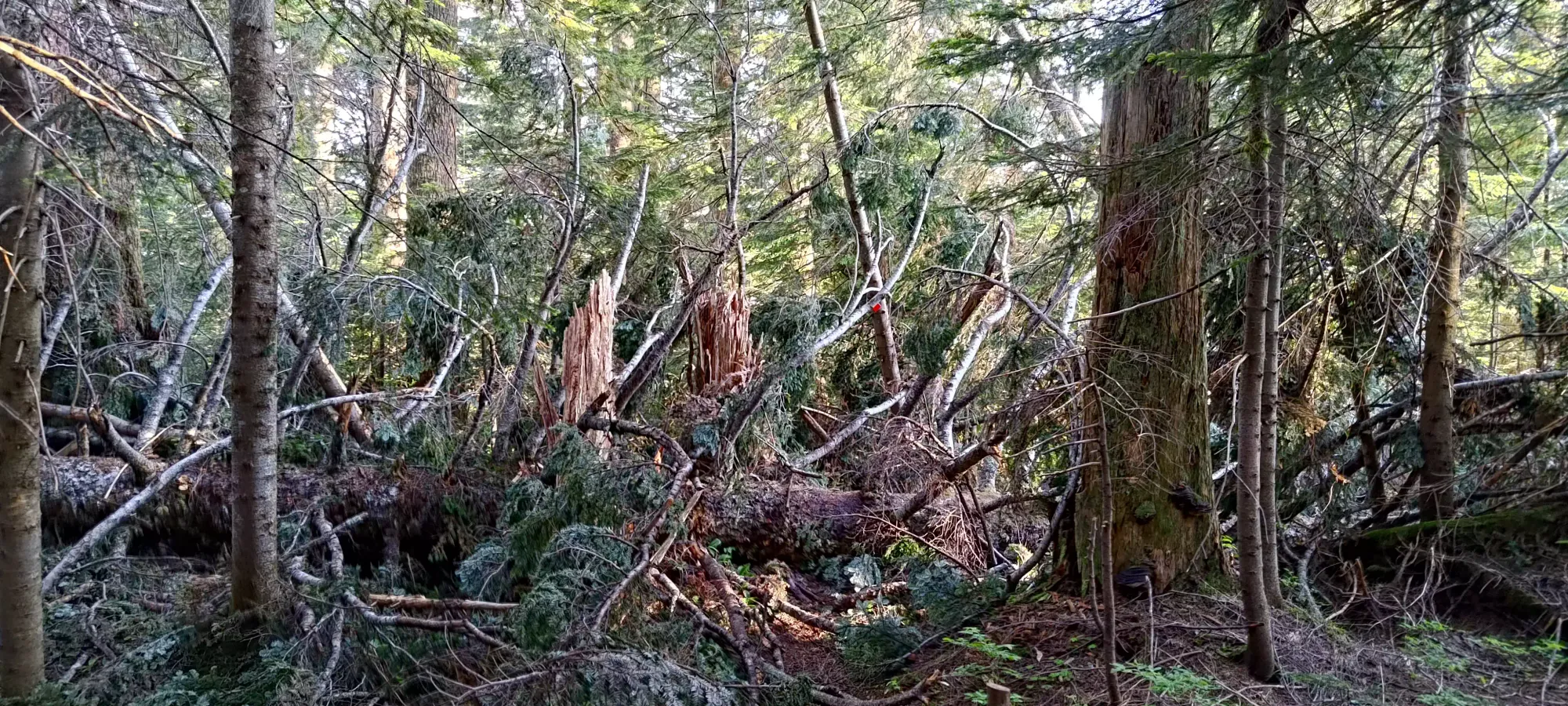
About 15 minutes later (~7:15pm), we saw our first snow of the day, and with it came the swarms of bugs I was hoping I'd left behind the previous day. This time, at least, they seemed to be more harmless midges/gnats. Annoying, but as I'm writing this I'm not feeling any "new itches", so long-term not a problem.
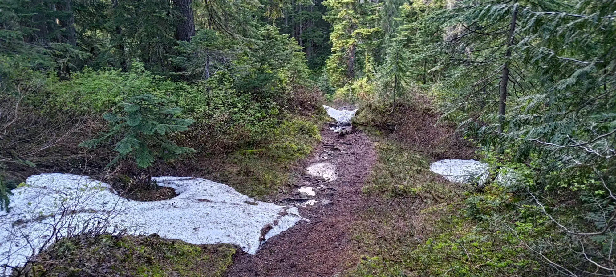
After another half hour the snow patches got more frequent and lengthy, though they were not steep enough to merit stopping to retrieve my spikes, so we just continued on through. I took a picture of the first "breeding ground" (otherwise known as probably temporary pond from snowmelt), of which there were many above 1000m.
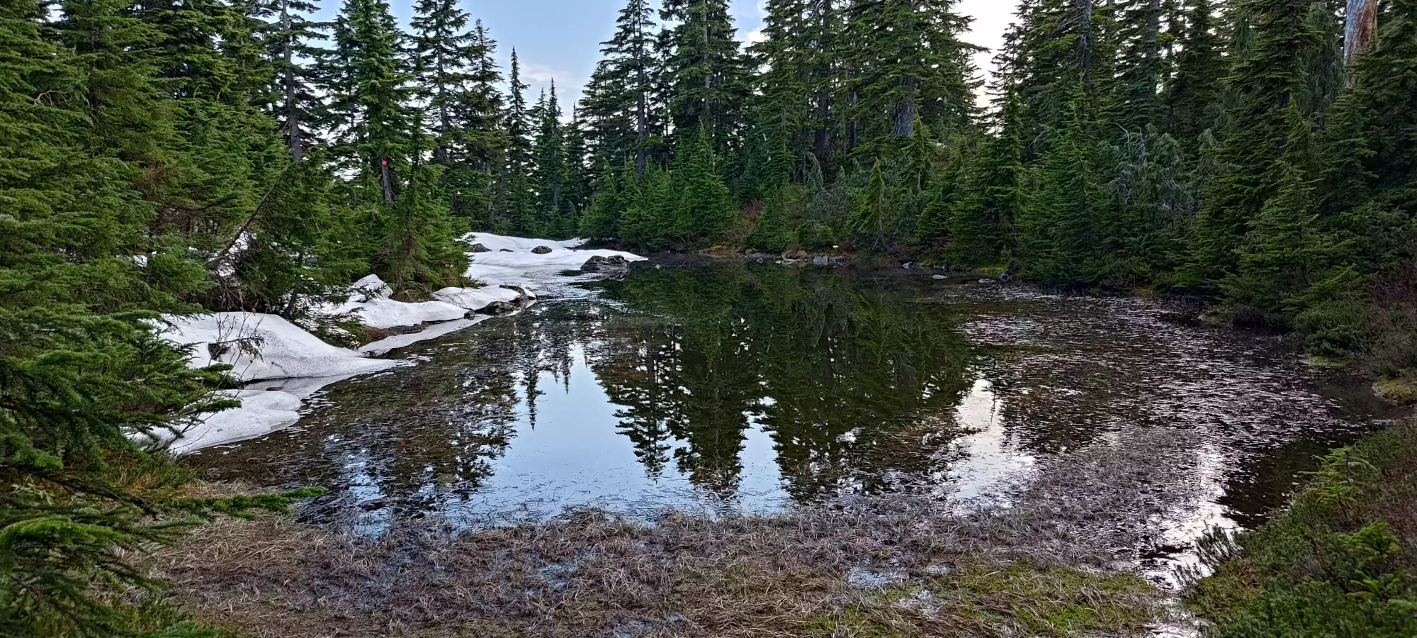
We had a few more snow patches, including a fairly lengthy one around 1100m or so, and eventually at 8:00 (past our 4:00 hopeful summit time), we found ourselves at 1280m, where we had a short section of "climbing up a flowing creekbed". Thankfully the flow was weak, and most of it could be skirted to the side, otherwise it'd have been a pretty slippery obstacle for me. It is, at least, a good water source, so that was nice to have knowledge of, even though it's not something I normally need to worry about.
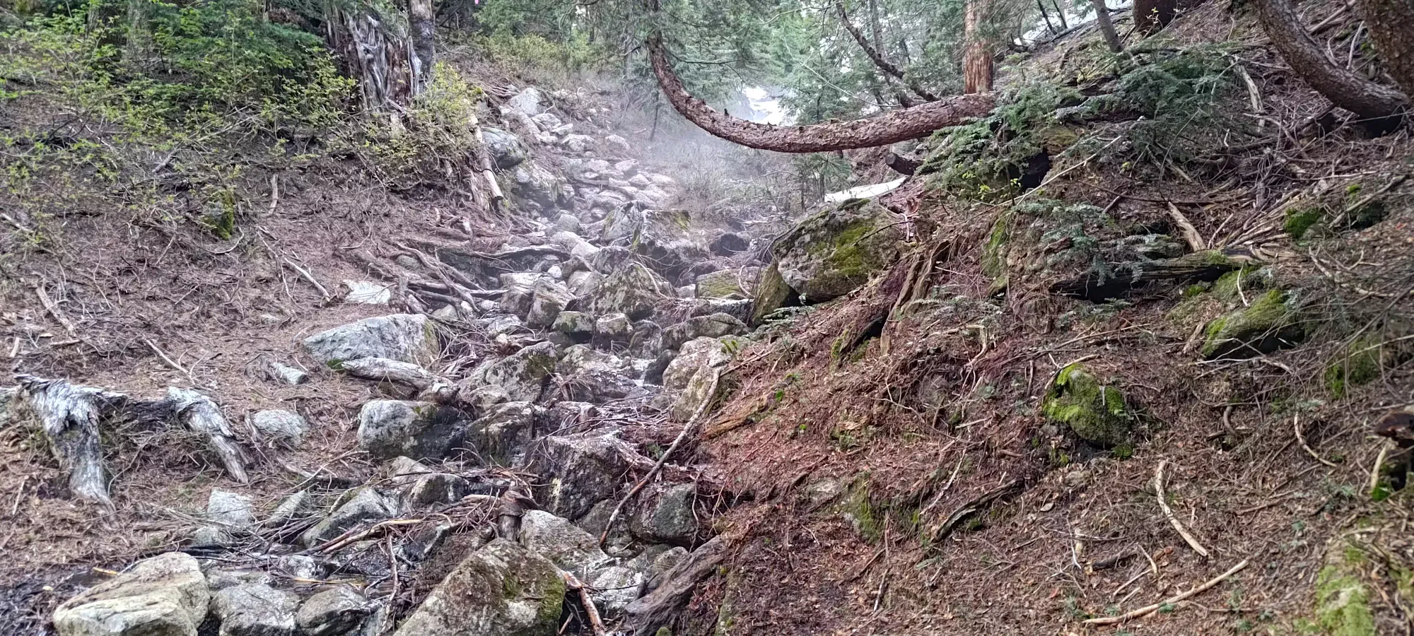
Shortly after that, we finally broke out of the forest and into the treeline, which was a welcome sight. The first section of rock navigation was a bit annoying as the snow was covering the trail, and the rock beside it was wet with flowing meltwater. Logan tightroped the sliver of trail left, while I class-2-scrambled the rock until the trail opened up again and crossed over. To be honest, it was largely motivated by a desire to just "touch some rock" for the first time in a while. We soon found ourselves in a mini-bowl with a ridge ahead, a false summit to the left, and what seemed like a lower-than-that bump to the right.
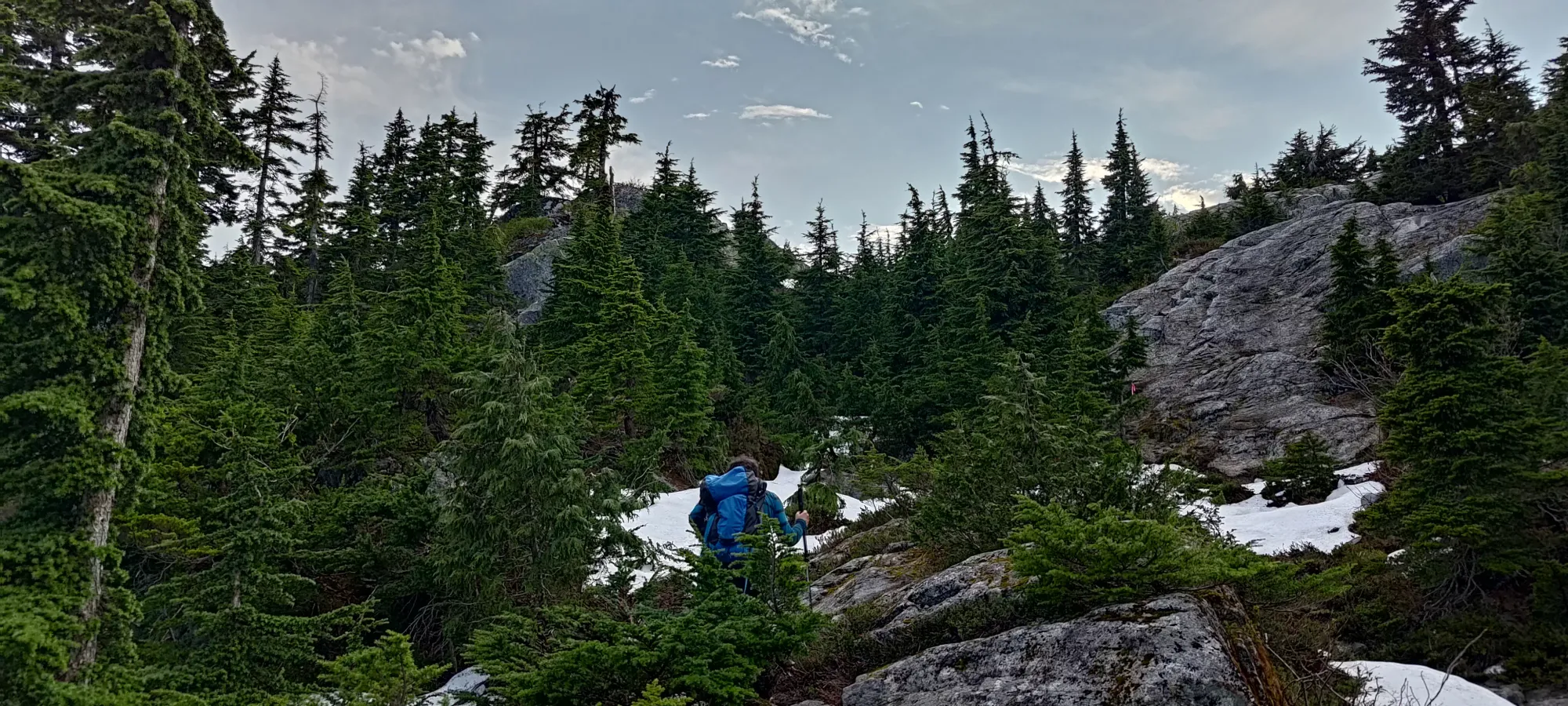
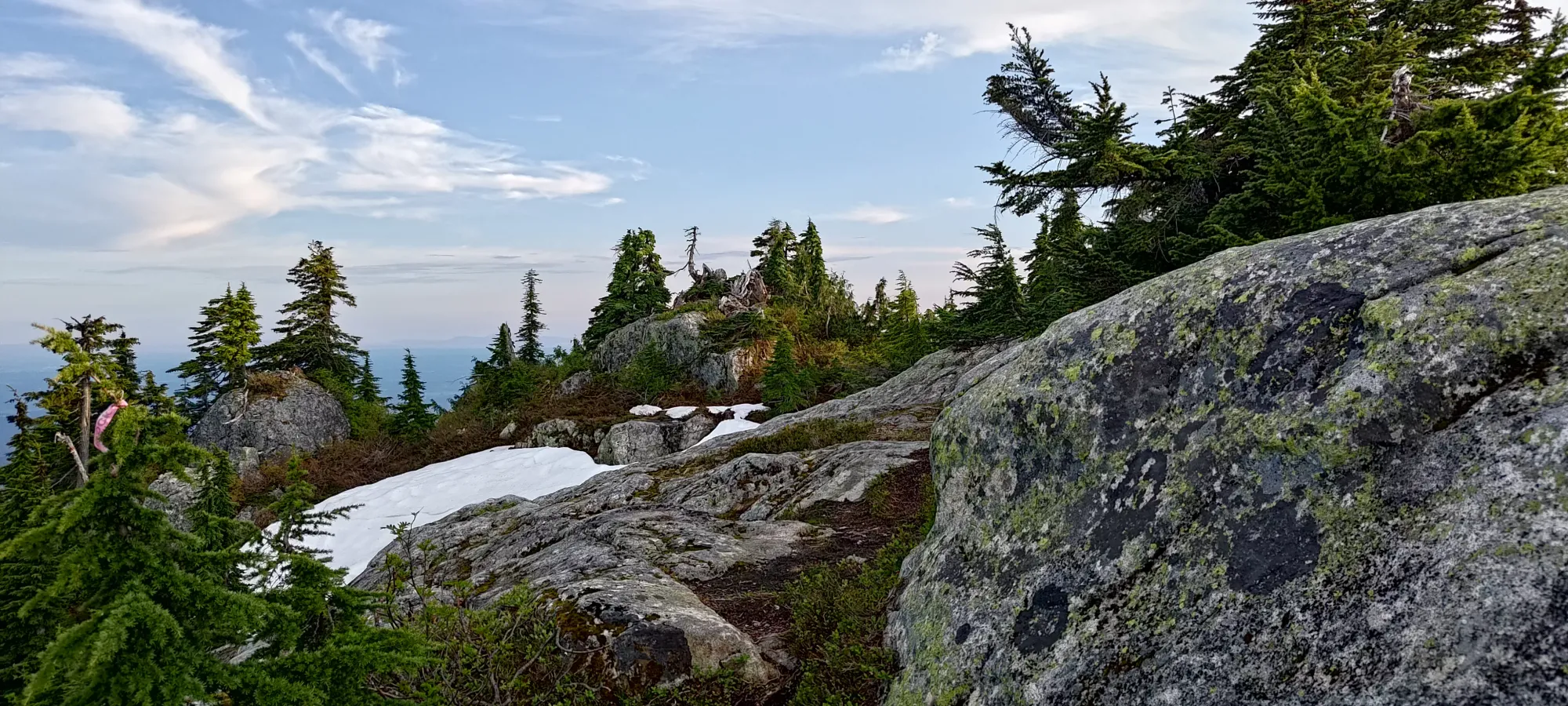
We headed up the ridge and across to the false summit, only to check our maps and discover this was completely the wrong direction, and beyond the bump we dismissed was a larger plateau where the summit lied at the end. We walked across the summit plateau, getting absolutely harassed by bugs for 10 more minutes until we finally got our summit, just after 8:20pm, or 4 hours and 40 minutes into the day.
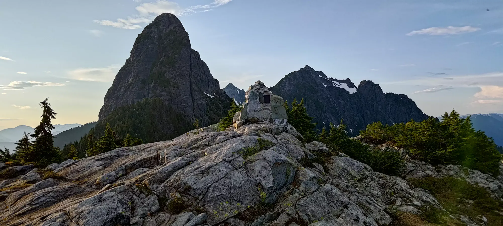
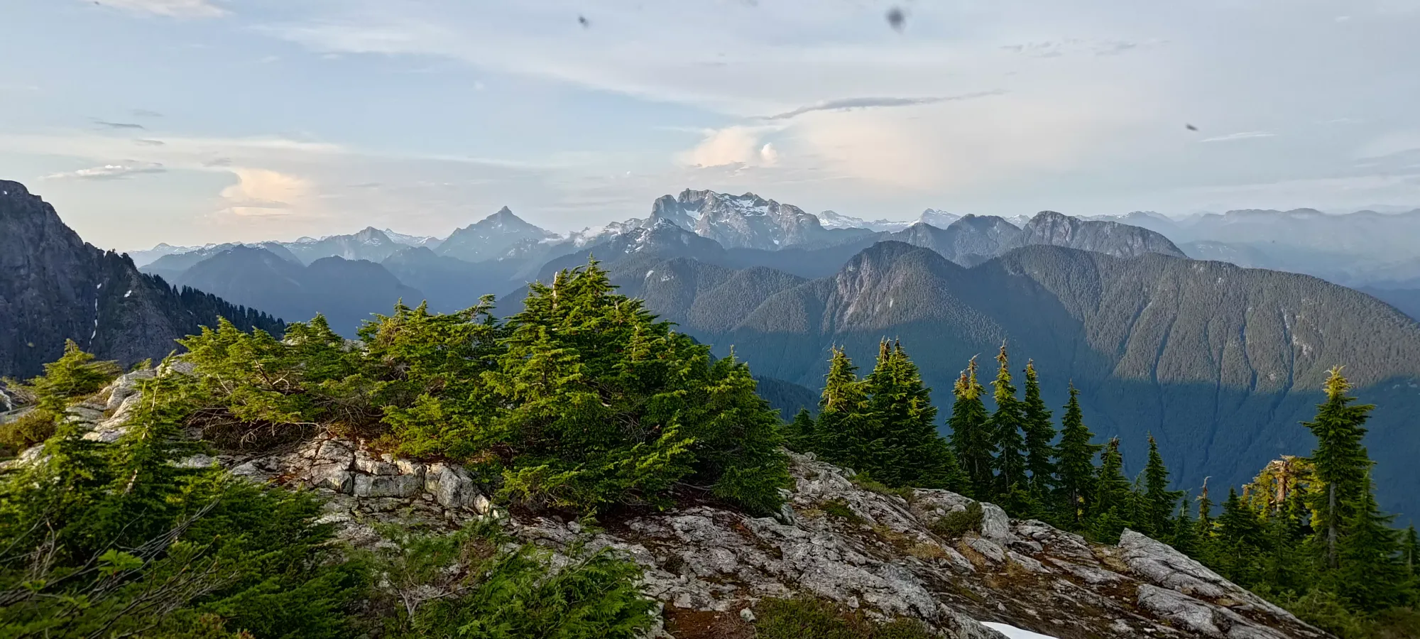
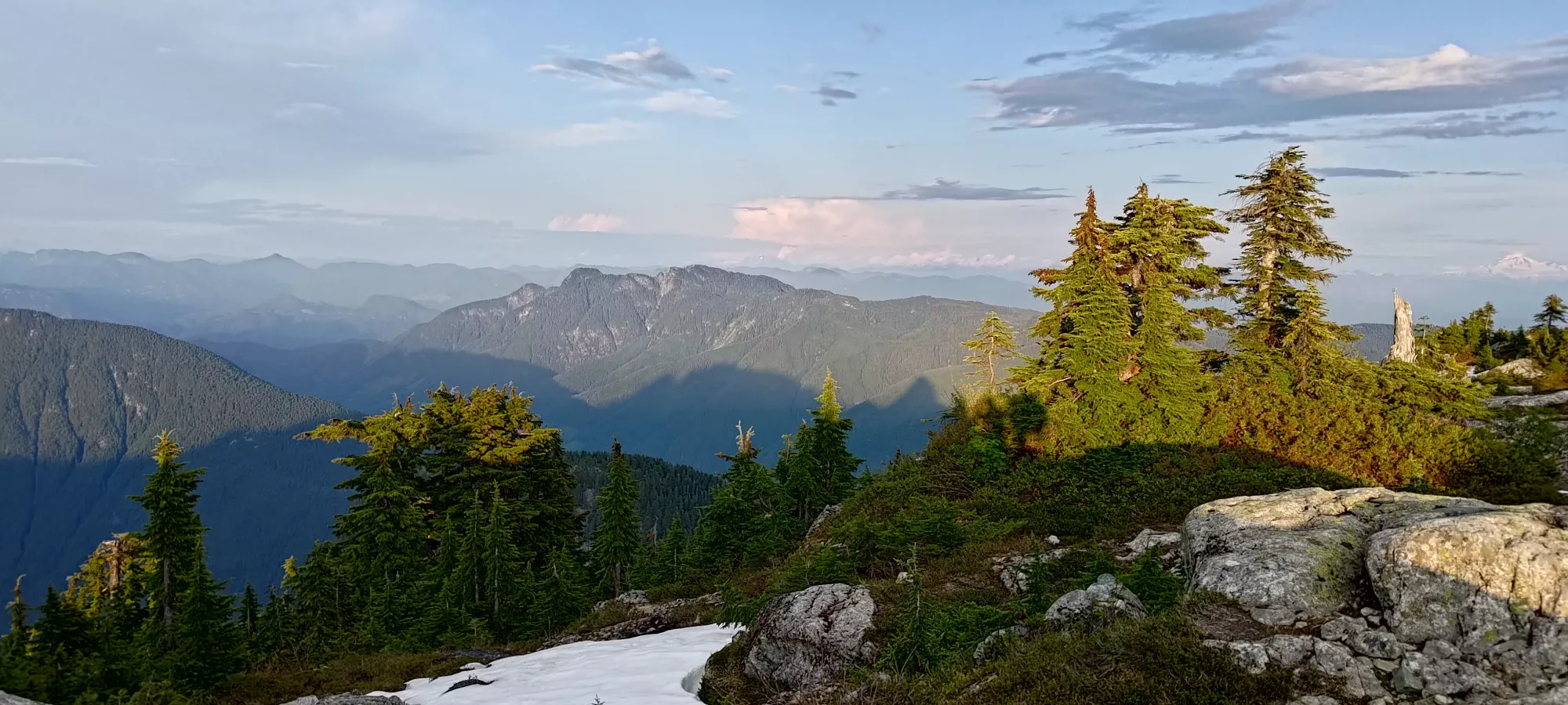
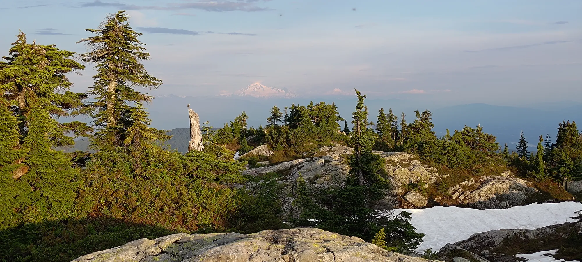
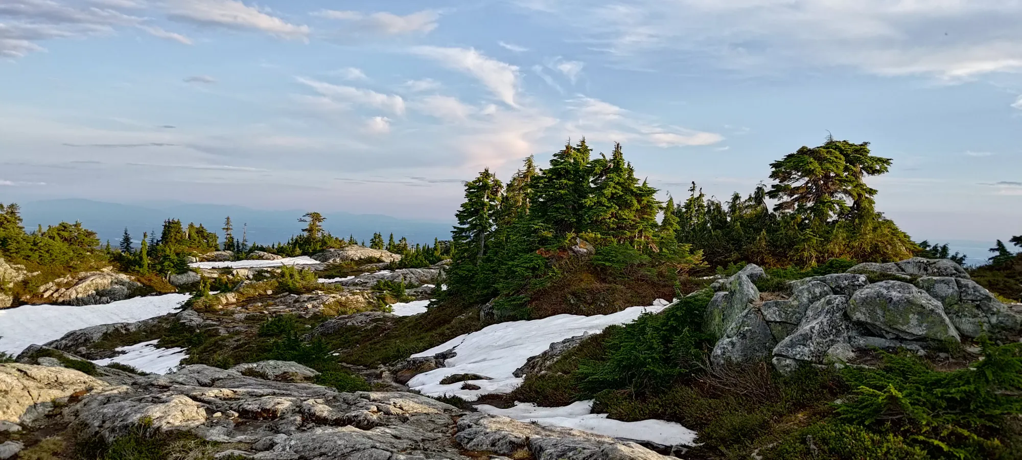
We only spent a couple minutes on the summit before heading out, as we had 0 desire to hang around in the swarms of bugs, and also wanted to get as far down as possible before headlamps were coming out. We considered taking the steeper route to West Canyon down, but dismissed it since we weren't confident we'd get out before dark, but we were more confident we could get out of the hard terrain on our uptrack before dark, which would be better. So, the downclimb began.
The first hour brought us from the peak down to 1074, almost 300m of descent. This was expected, since the terrain was a difficult mix of rock and snow at the top, snow and slippery rock in the middle, and snow and slippery roots at the bottom, with some uselessly flat trail in between to make things longer 🙃. A non-injured party could make faster work of this, but in such terrain I had to be quite careful to not hurt my ankle.
Once we got below this point, I started getting pretty tired, my legs were just feeling heavy even if my cardio didn't feel pooped. This was probably a combination of not a ton of sleep, only having 2 meals the day prior and 1.5 on the day of, and "having been bedridden only 2 months prior". It seems that adding 10km and 500m of gain onto my previous biggest hike was, in fact, a meaningful upgrade in difficulty, who'd have thought. I even actually refilled my water on the way down, which is something I've not needed to do (other than on a multi-day) since Robie Reid and probably Harvey before that.
With that in mind, I started calling for short rest breaks every 50 or so metres of descent. Another hour of descent brought us down to 825m, at the first junction of our descent. Logan scoped the path that supposedly lead to the fire road (since we knew the section below was not the best trail ever) but didn't find it to be a great trail, so we just stuck with the known quantity and headed down the trail we came up on, headlamps on by this point.
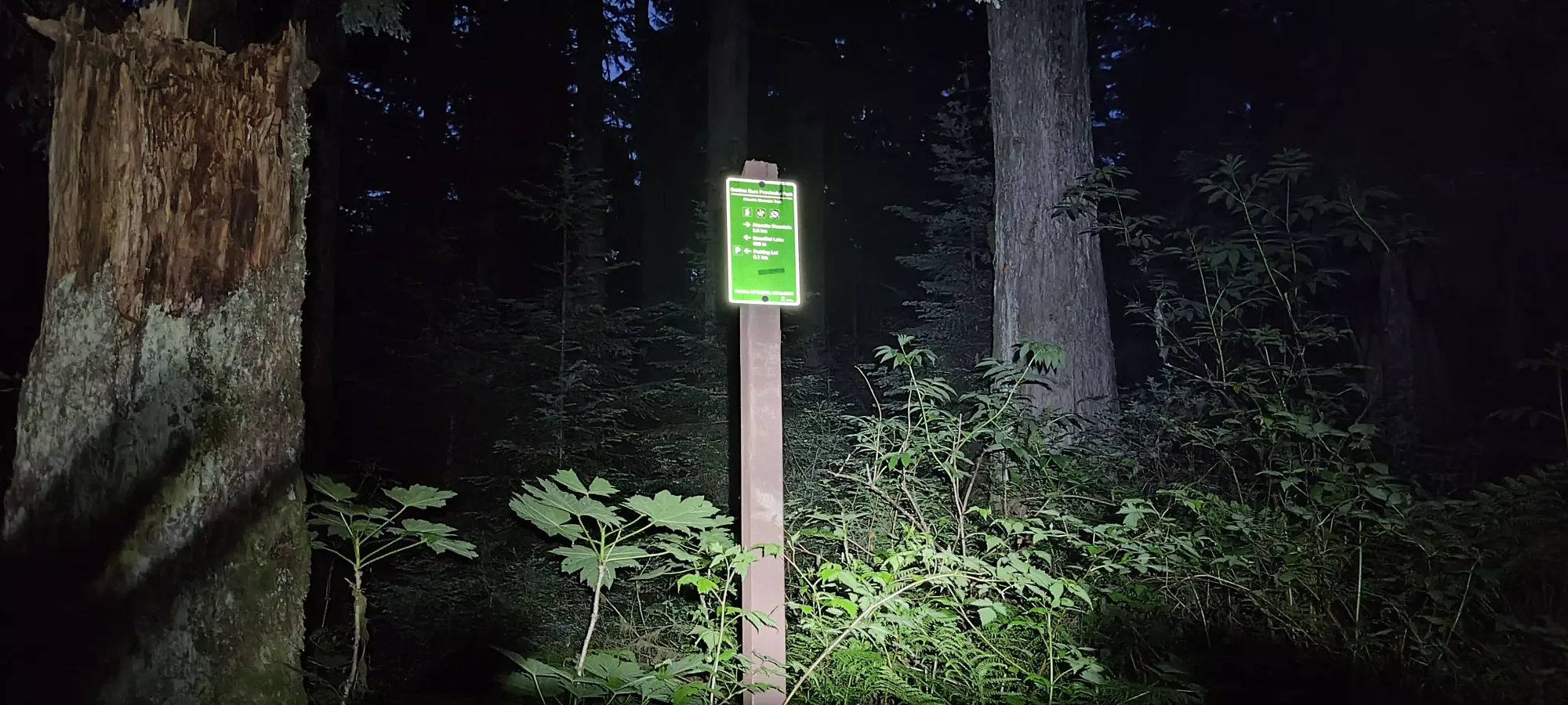
It took us another 45 minutes to get through this section, as the undulation really took it out of me. After a short break, we descended via the fire road (since in this section, it and the hiking trail are basically the same length, but the road is easier terrain) for 20 minutes until we hit the Memorial Lookout, where we figured resting on the bench might offer better blood flow into our legs vs awkward seating on the ground. We also spent some time scouring the internet trying to find a contact for getting the gate open since we were obviously too late to make the official hours. Unfortunately, we failed to find anything helpful, and had resigned ourselves to a pitiful call to the RCMP non-emergency line to figure that situation out once we were at the car. We both recall having read about being able to get the gate opened after hours if necessary, but hadn't expected finding who to call to be such a challenge. Some lessons are learned the hard way.
Once we left the lookout, we decided NOT to follow our ascent track, and that we would take the shortcut trail down instead of the long way on the road. This was a great success, and we cut off 125m in just 800m instead of 4+km, which took only 15 minutes. Even walking at a fresh, healthy walking pace we would've been slower on the road. The good news was now that we were on easy, non-undulating terrain, breaks weren't nearly as frequent, just at junctions.
From there, it was 20 minutes of mandatory fire road travel until we hit the incline trail, which we decided to use instead of saving our knees, which was also effective, and we got down to the final stretch of the Eric Dunning trail in 5 minutes. That last section despite being under 1.5km felt like it took quite a while, though the 20 minutes that elapsed really weren't that long, all things considered.
As we were nearing the trailhead, I could've sworn I heard distant "car driving" sounds, and sure enough within a minute of us getting to the car, we encountered a truck of park personnel who informed us someone was at the gate to let us out, and they let us go with no hassle or chastising, a welcome surprise. We finally got out a bit after 1am, got some McDonald's to fuel us for the drive home (though it was an annoyingly long 20 minutes to get our food), I dropped Logan off, and eventually got home at the totally reasonable hour of 3:02am.
So while in the sense that I accomplished my goal of a 1000m+ peak in June this was a success, I can't really say it was a great trip overall. I am okay with how tired I was at the end, I'm happy to push myself to my physical limit. We probably should've saved it for another day after all the delays we encountered, though. It was also "a choice" to rely on someone being able to open the gate, while of course we could've slept in the car, that wouldn't be the most fun night ever. We also clearly chose the wrong trail(s) for the way up. I'm not sure if the West Canyon trail is in better condition or not, but that may have been better overall even compared to making "the right choices" on the longer southern route, given the unavoidable upper section with all the deadfall one expects on less official trails in less popular areas, not so much a park so busy it has day passes. There was also the choice to step up 500m+ of gain and 10+km from my previous biggest hike post-injury, which while doable was still "quite a big jump", especially with a late start. I'm not too unhappy, though, we were prepared for the worst should it have happened, and were ready to accept the late night we had, otherwise we'd have turned back at the last fork on the way up.
On a more positive note, now that 1000m (actually over 1200m) has been conquered... 1500m for July??? No promises, but if I think I can, I'll try for it. Though I'll try to start at a time starting in "A.M.", at least😃.
GPX Track + Map
