Windy Knob, Old Baldy, and Church Mountain - June 15 2025
A nice trio of easy peaks that combine for a short and efficient hike on a well-made trail (though it gets a bit fainter on Church, no bushwhacking or anything is required). Great effort:reward ratio on this one!

Since this particular Sunday was, in fact, Father's Day, I couldn't exactly justify spending all day bagging some impressive peak, so instead, I scoured the maps for something shorter and sweeter that I could confidently complete and get to the North Shore to ensure I was at least a somewhat decent child, and could make it to see my dad for the evening 😄. After some deliberation, I landed on the trio of Windy Knob, Old Baldy, and Church Mountain. While only Old Baldy is currently listed as a p100 on Peakbagger as of the time of writing, I'm pretty sure they should all count, so that'd make for a very efficient day! Some people also extend this to Liumchen and back, but I decided against that, as I want to explore an alternate approach for that peak, which also should nab me a fifth p100 as well, more easily than if I tried to tack both of those onto this trip. So, with that goal in mind, I set out from home, though at a decently relaxed hour.
I usually make a Tims stop when I drive this far out east, but I managed to resist, mostly because I was unsure about if I was truly done digesting breakfast or not. While I did miss the treat, it was probably good that I didn't, that stuff's getting expensive, a bagel and small Iced Capp are over 8 bucks now!
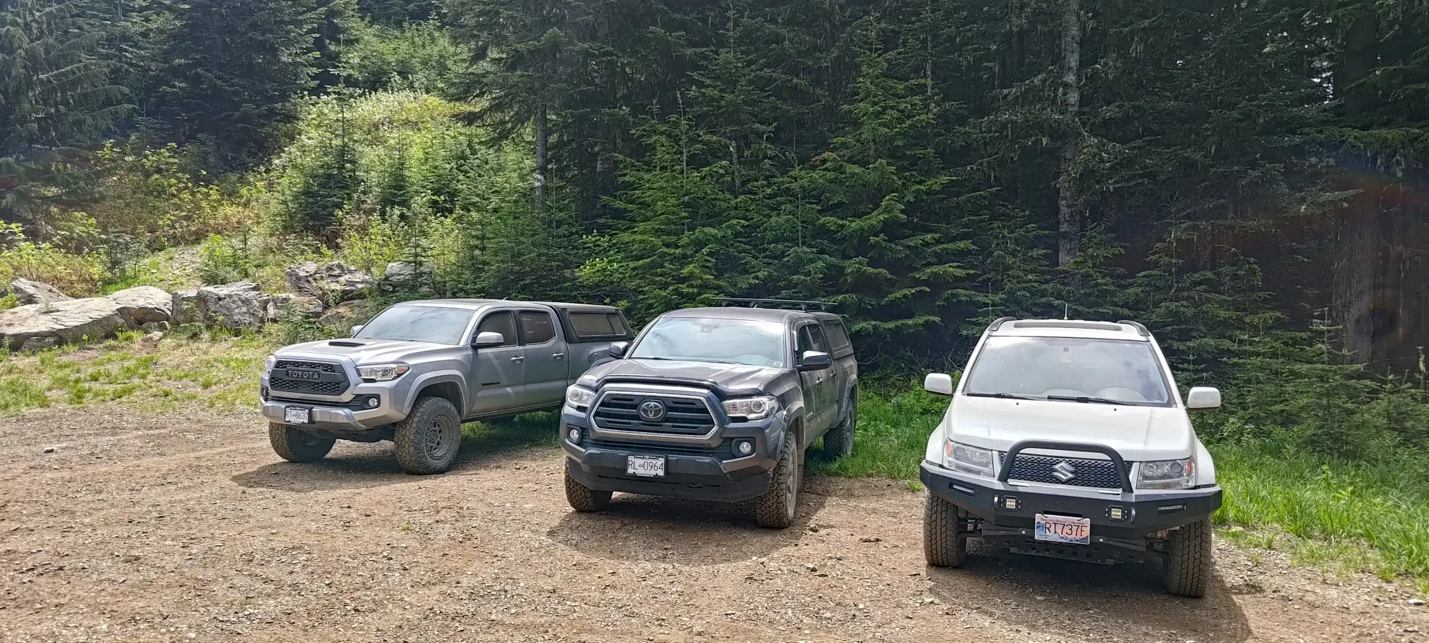
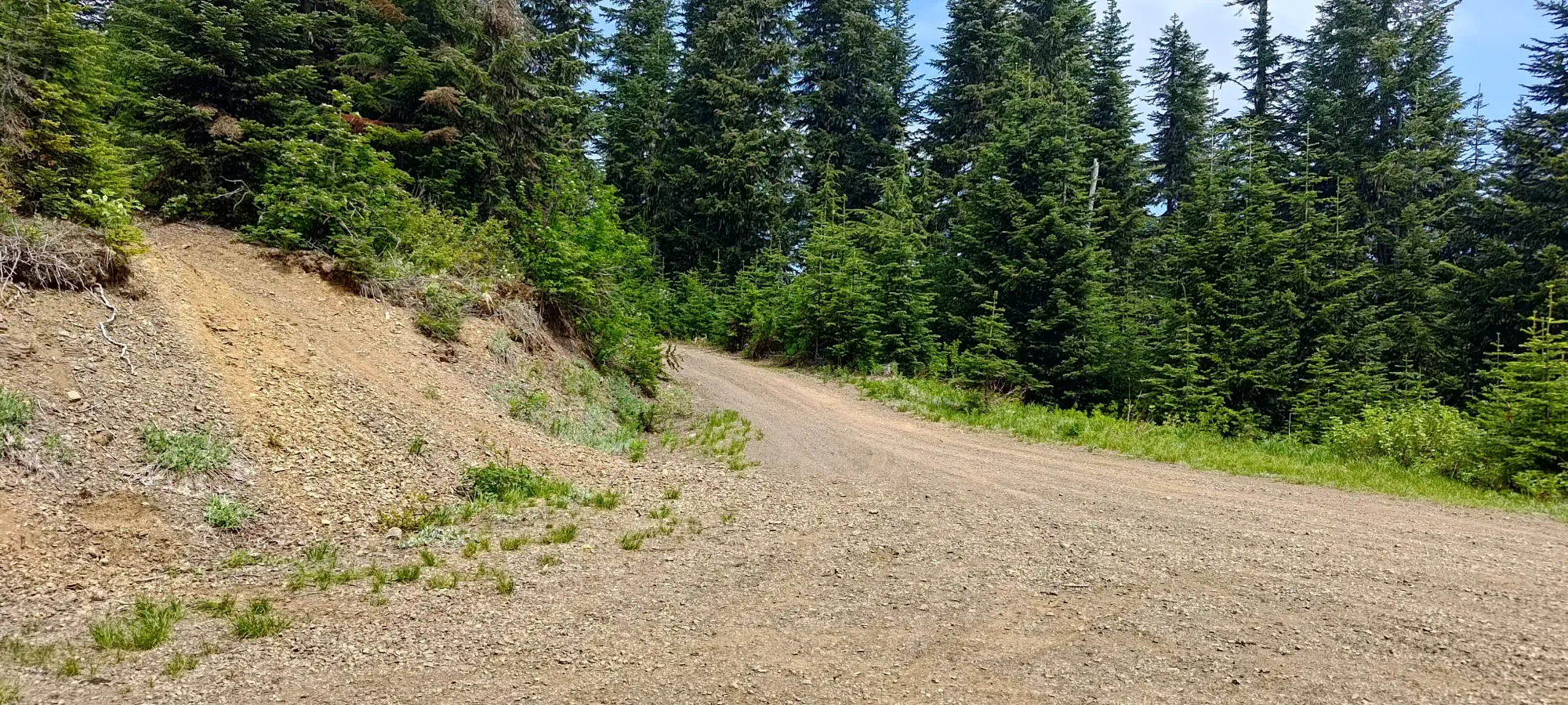
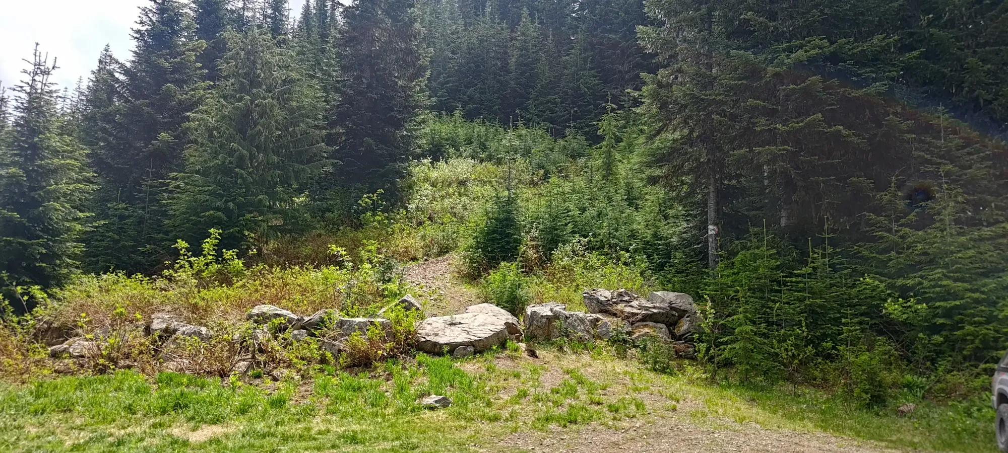
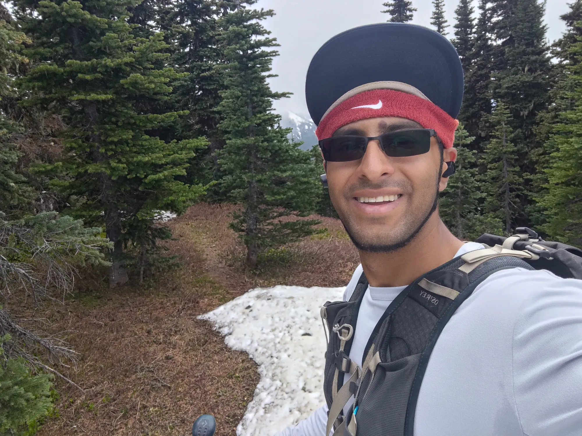
As for the drive, I just plugged it into Google and let that navigate me, and that actually worked out well (Google Maps isn't super reliable for offroad navigation, always download your own maps just in case, and check before committing to a given route). The Liumchen East FSR was in good shape, being well-graded, and only with medium-sized water bars once over 400m in elevation. It seemed quite popular with dirtbikers in particular. That took me all the way to a short spur road, which was a bit steeper, and had a bit more undulation, but was still doable by a decent crossover. I drove that to the trailhead, which was spacious, and had a couple trucks parked there already. I considered trying to drive up the trail, since it was barely wide enough if truly motivated, but it was clearly unnecessary, wouldn't be appreciated, and was not worth the effort, so I just parked and geared up, and got moving pretty much smack-dab right at noon.
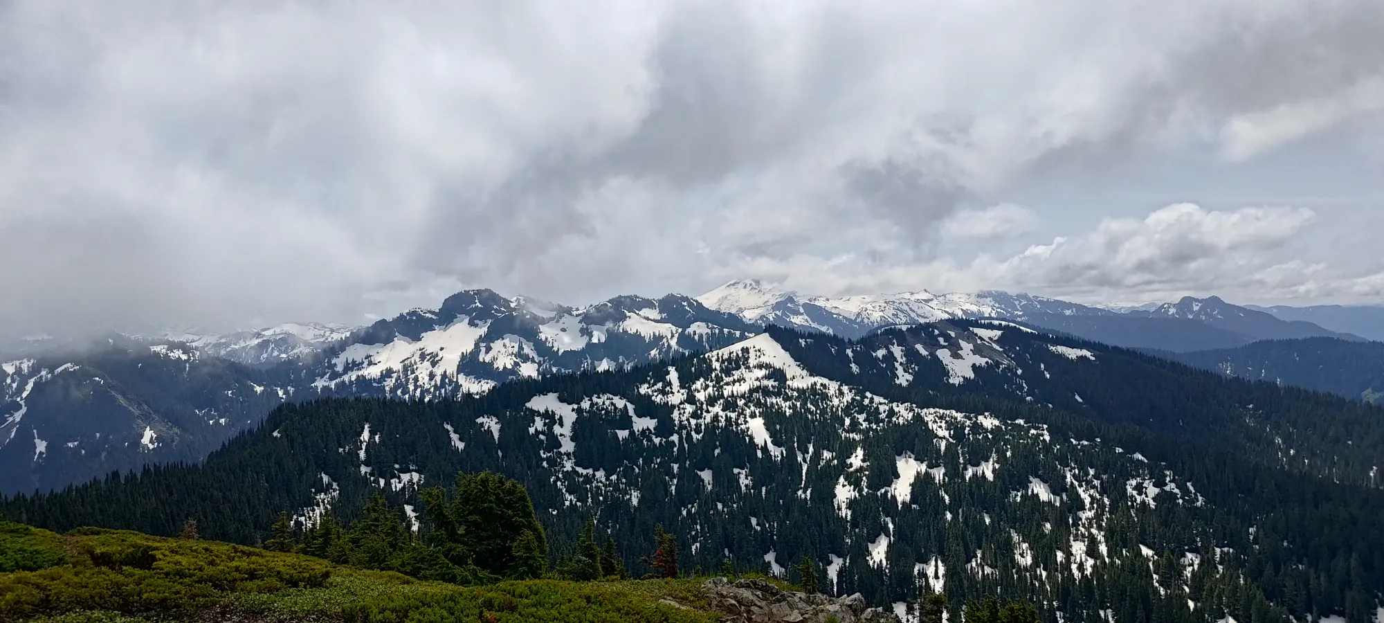
Windy Knob
Border Ranges, Chilliwack, BC
1694m
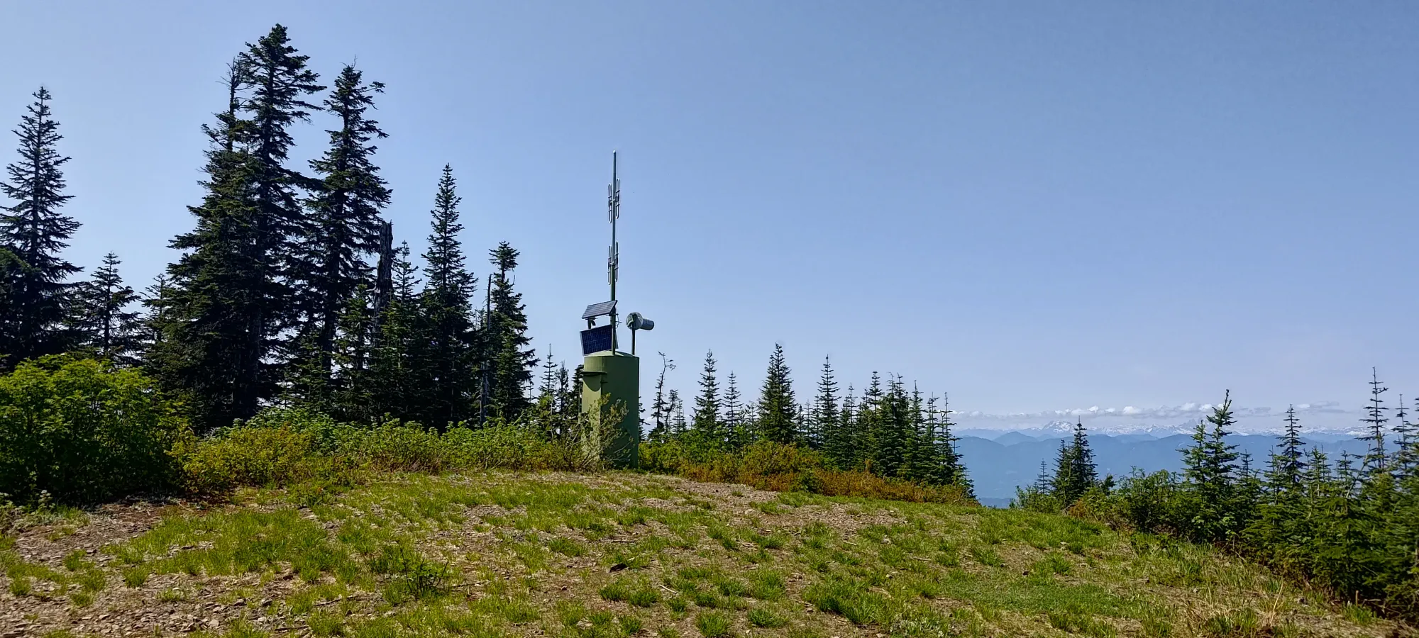
The first few minutes of the trail were a steep hike up the probably-old-road that leads to a small clearing with a comms tower. Here, a couple dirtbikers passed me, only to stop just a few metres ahead in that clearing. I stopped to chat with them for a couple minutes, but moved on quickly, hoping to return to my car sooner rather than later to meet my (admittedly non-specific) time commitment to be back roughly by dinnertime. After that clearing, the trail narrowed to a definitely a hiking trail width.
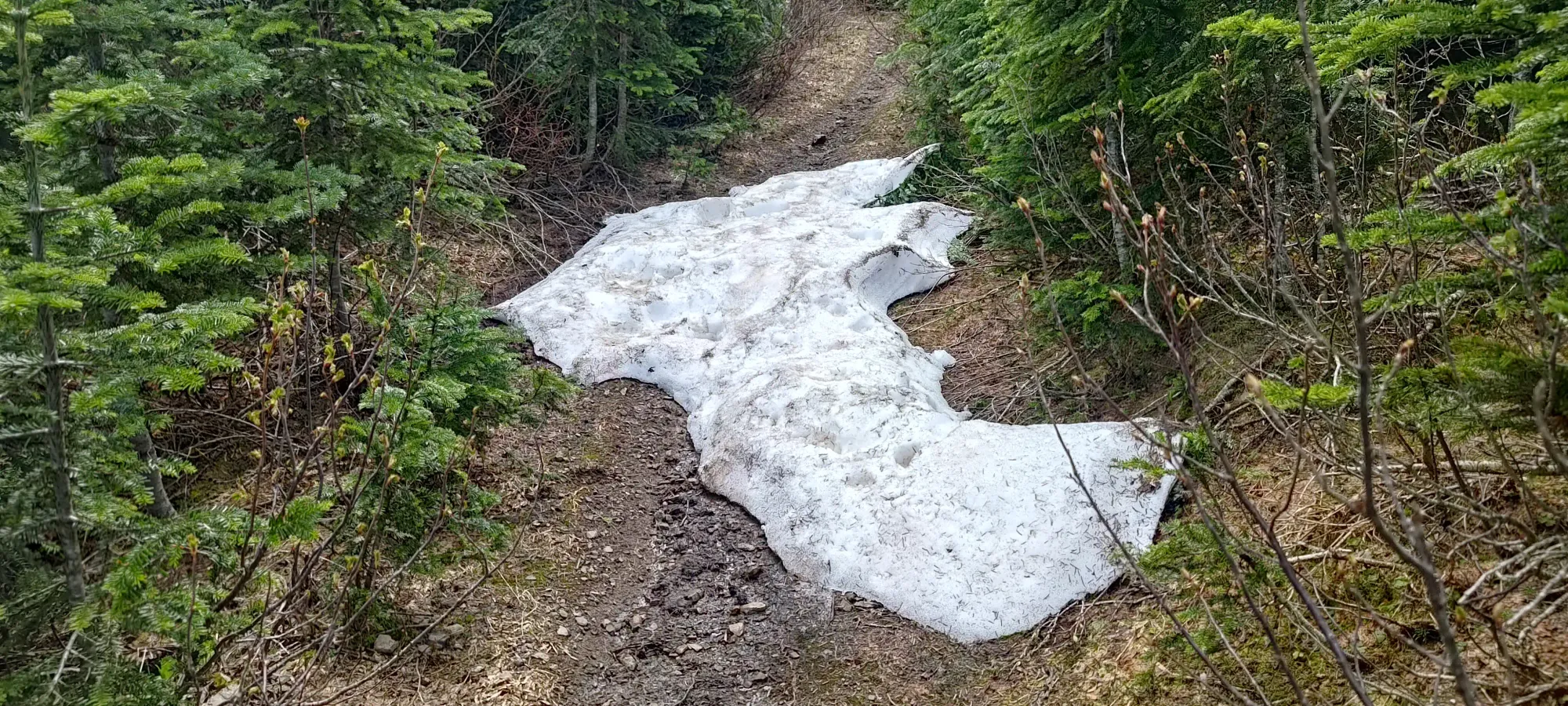
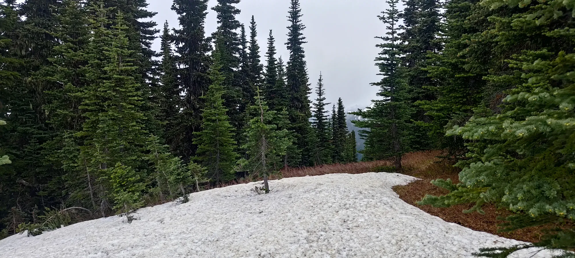
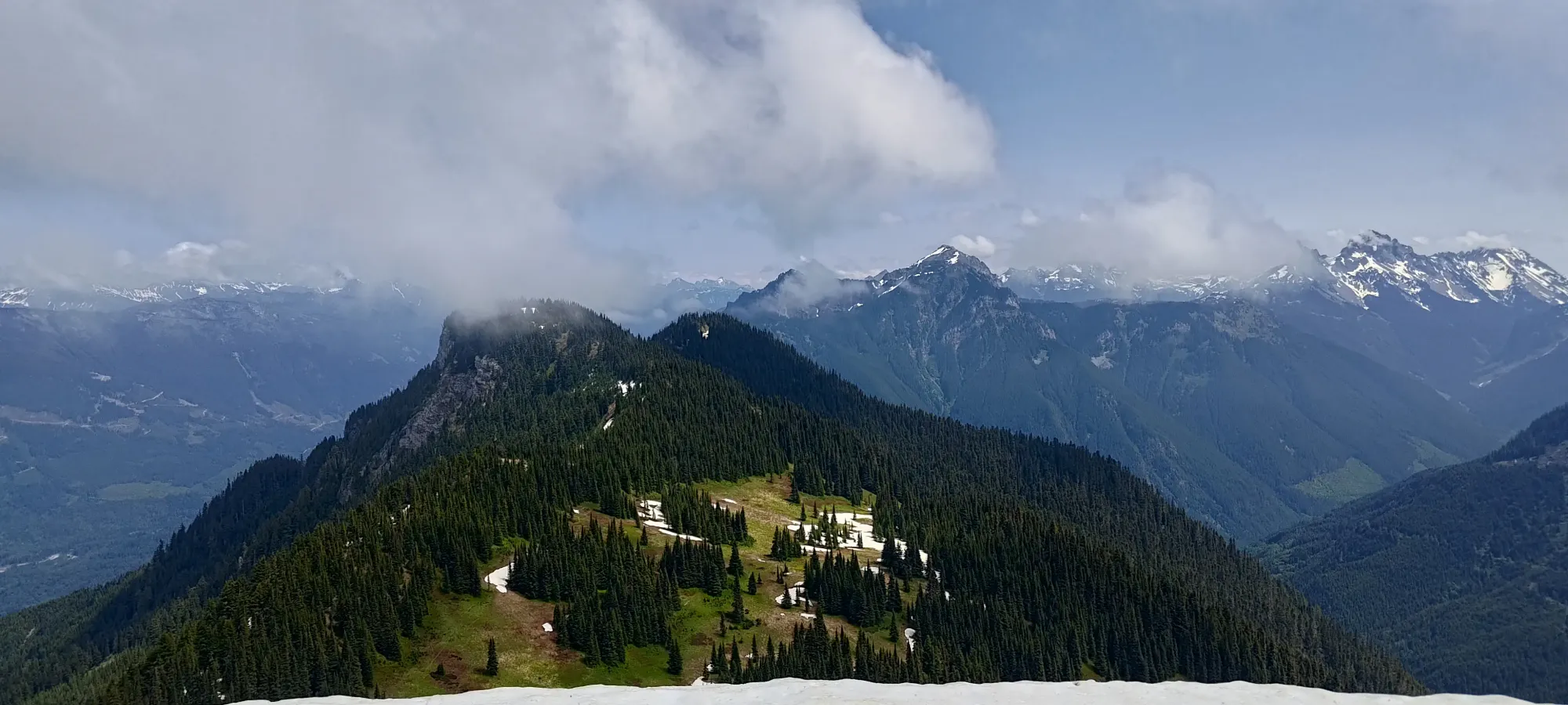
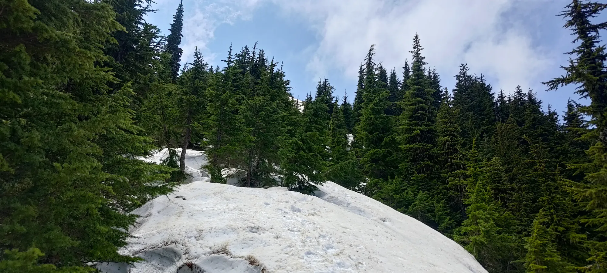
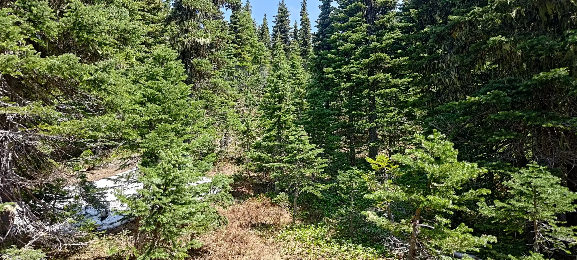
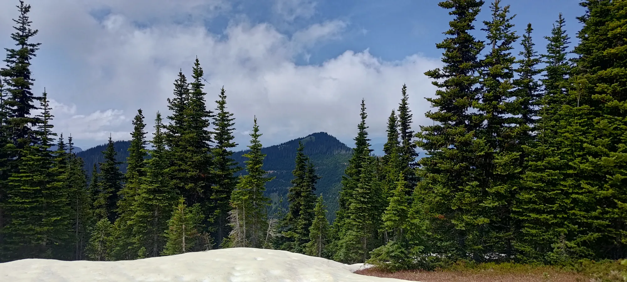
It didn't take long before I saw my first patch of snow, though it would be the last for a while after that, as the trail quickly dives into the forest, where I didn't see any traces of snow at all. There was a solid heat wave the week prior that wiped away a lot of the snowpack at sub-1500m elevations, after all.
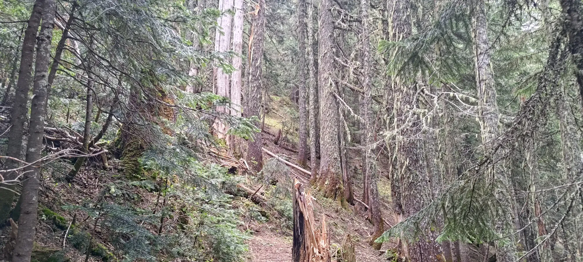
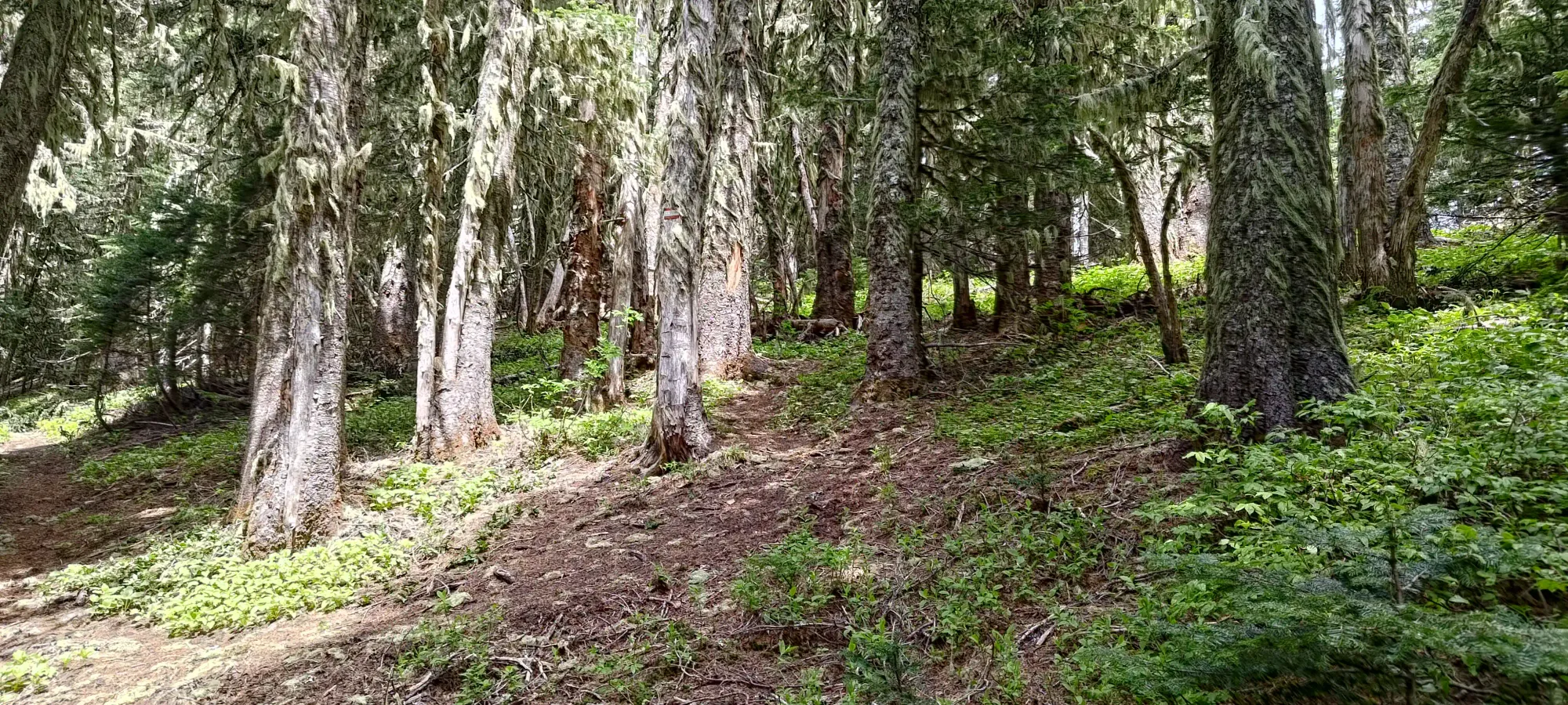
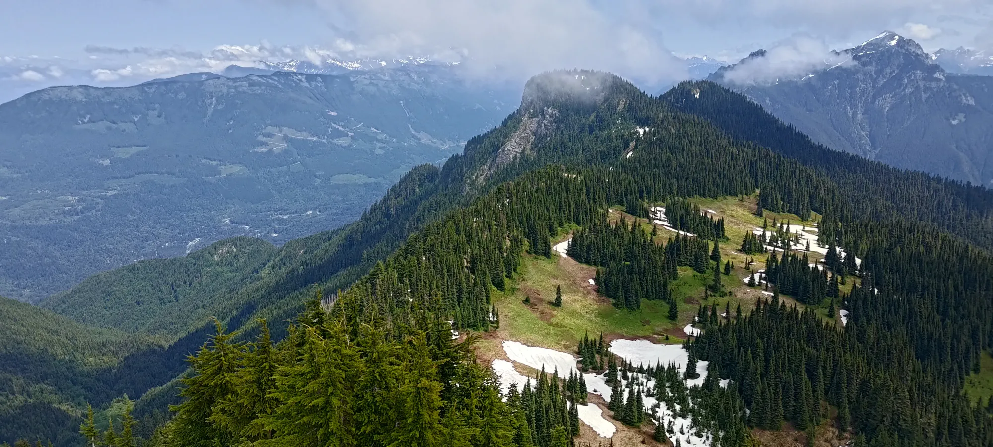
The forested trail was pretty nice. There were a couple deadfall, but the trail is in such good shape I imagine it is actively maintained, and if it isn't already cleaned up, it will be soon (a single day with a chainsaw should be plenty). Other than that, a few switchbacks and some walking later, and I was at the junction to make my way back up towards the summit (the trail goes past it, and you fork off and track backwards up the south ridge of the peak). A whole 25 minutes of hiking, and I was already on my first summit. Not bad at all!
It took only a couple minutes to rejoin the main trail, and I continued on towards Old Baldy, conveniently almost exactly 30 minutes into the hike!
Old Baldy
Border Ranges, Chilliwack, BC
1726m
Continuing on from there, I went over a small bump, and found myself at another fork. I almost got baited into going up the trail to what many maps mark as Old Baldy, but that's actually a random, definitely-not-p1o0 bump between Windy Knob and the true high point of Old Baldy. Thankfully I caught myself before I wasted any elevation gain 😄
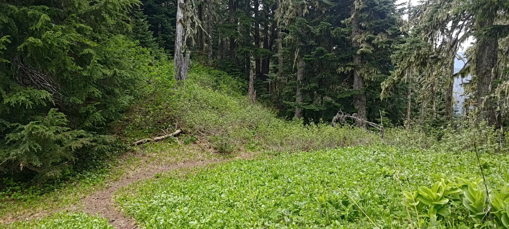
Almost caught me wasting elevation at this junction
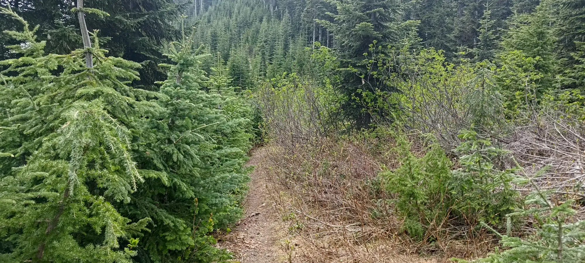
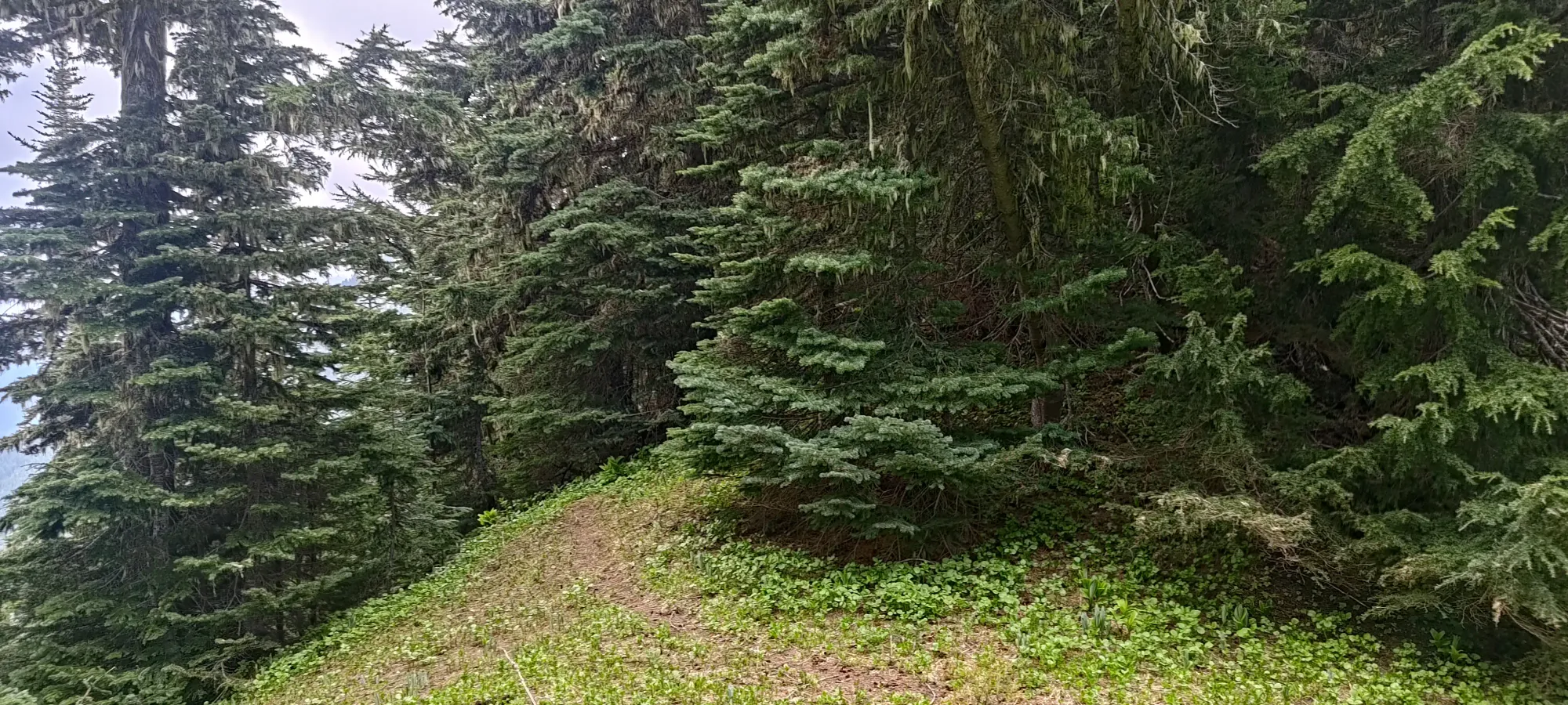
Instead of doing that, I hiked another 0.5km until the next fork, where the Old Baldy (for real this time) trail forks away from the Liumchen Lake trail. I, of course, took the former, as I'm a peakbagger, not a lakebagger!
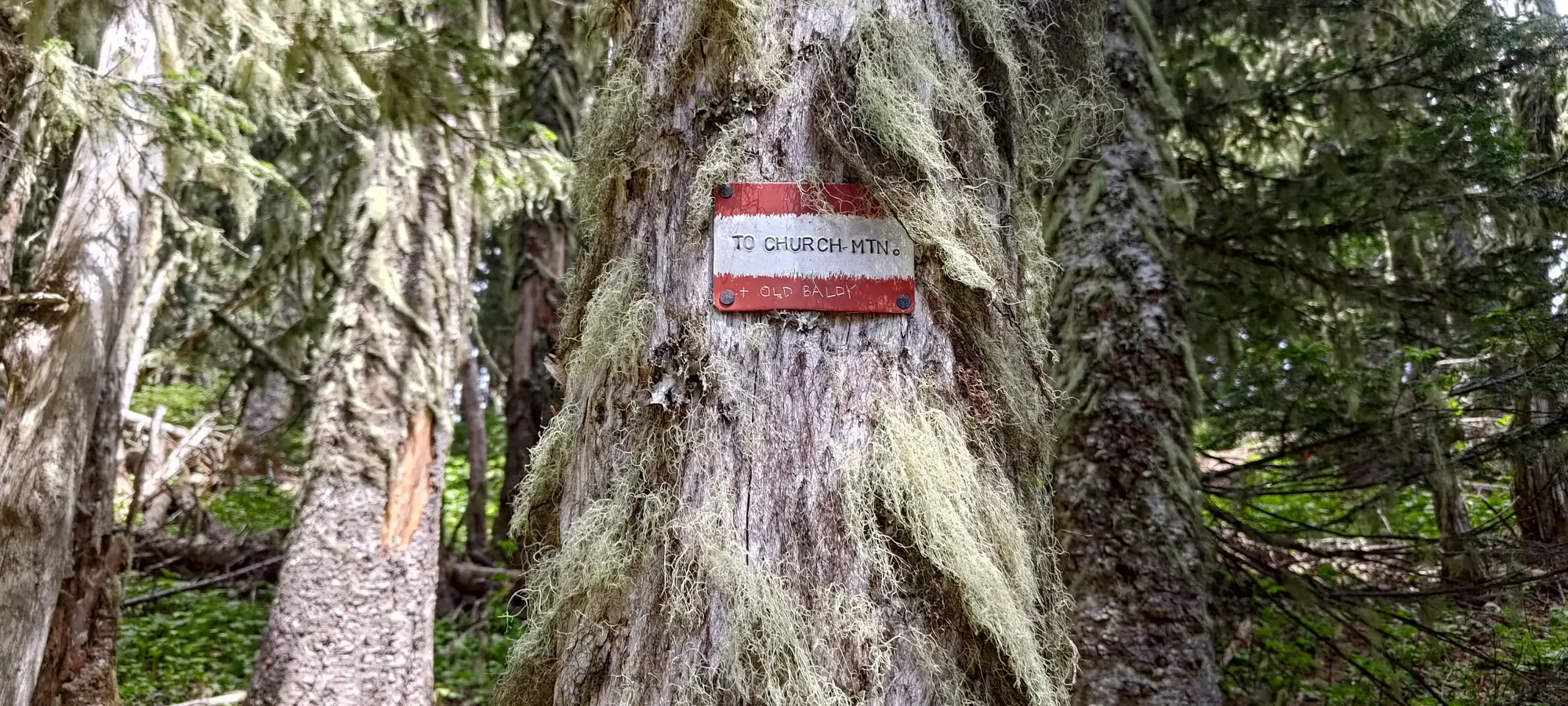
Trail forks here
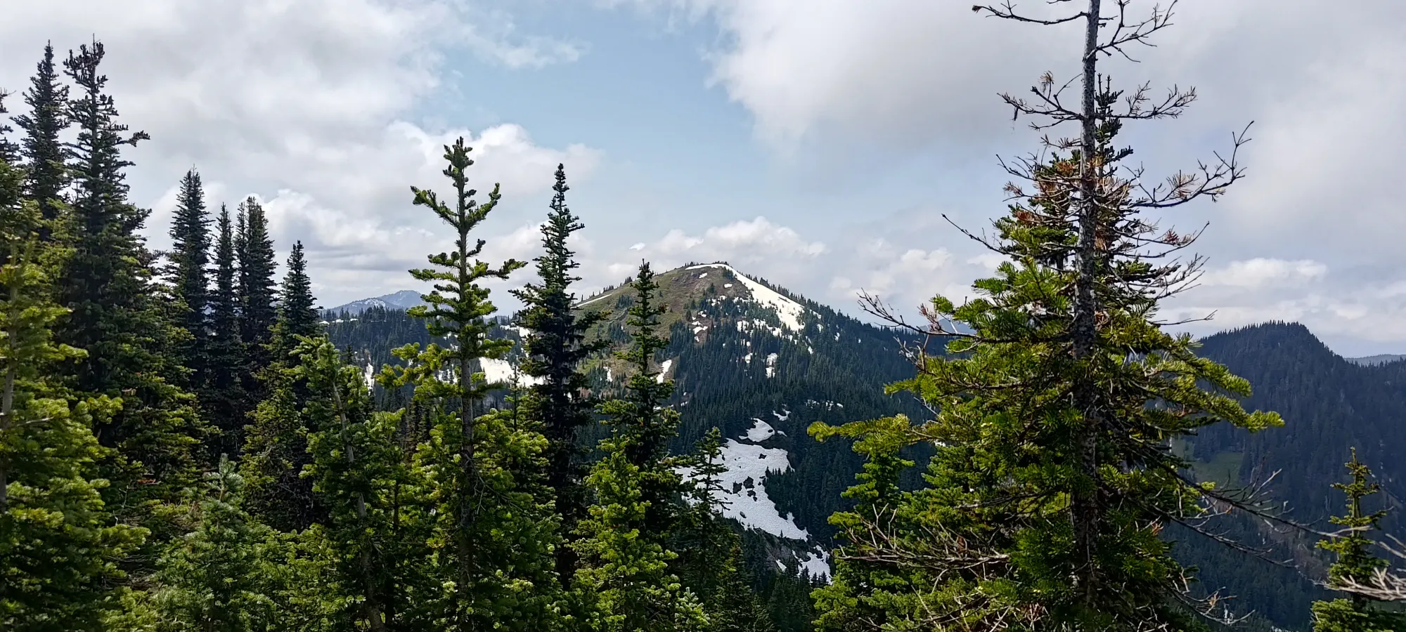
From that fork, the trail got steadily steeper until about 1650m or so, where it pops out of the forest (granted it still gets a bit steeper past there, but you get the idea). There, I ran into a large party of people who I had an awkward half-conversation with as I passed them (they were on their way down and were removing microspikes), mostly because I had a podcast going and could only hear about 40% of the things they were saying to me 😅. I did notice their microspikes, but decided against putting mine on, figuring it wouldn't be that difficult of terrain, or perhaps more notably, that it couldn't possibly last long enough to justify the effort of putting them on and having to take them off again, and deal with them being wet in my bag for the rest of the day 😄
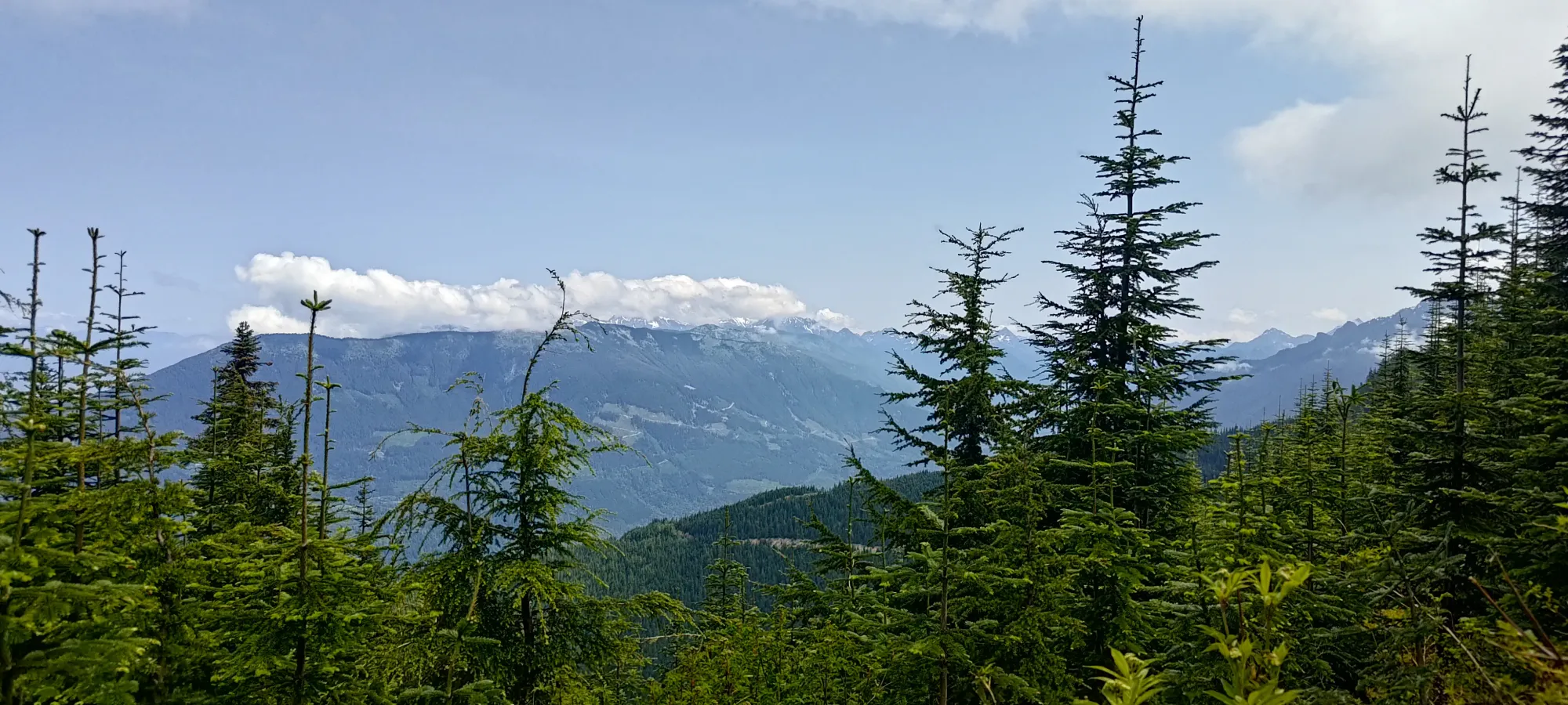
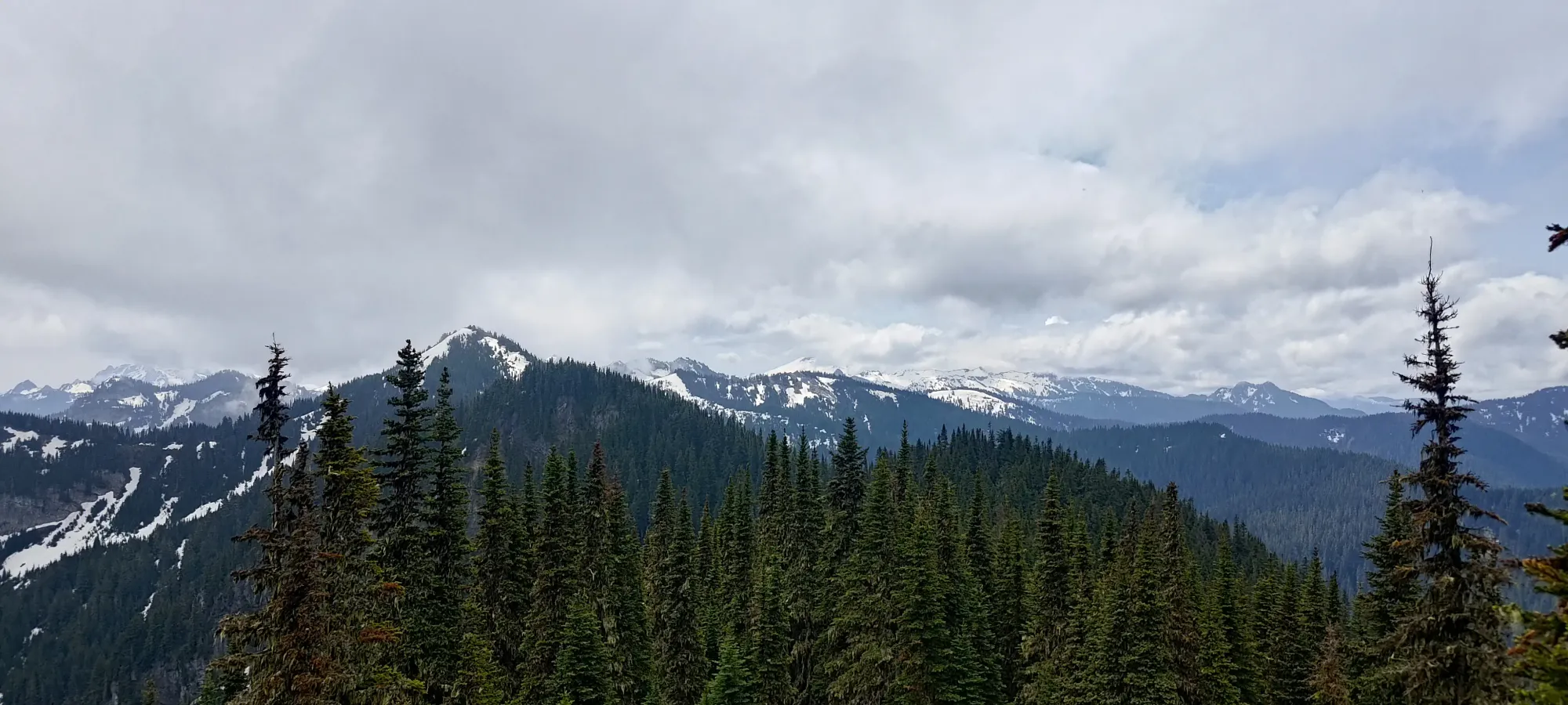
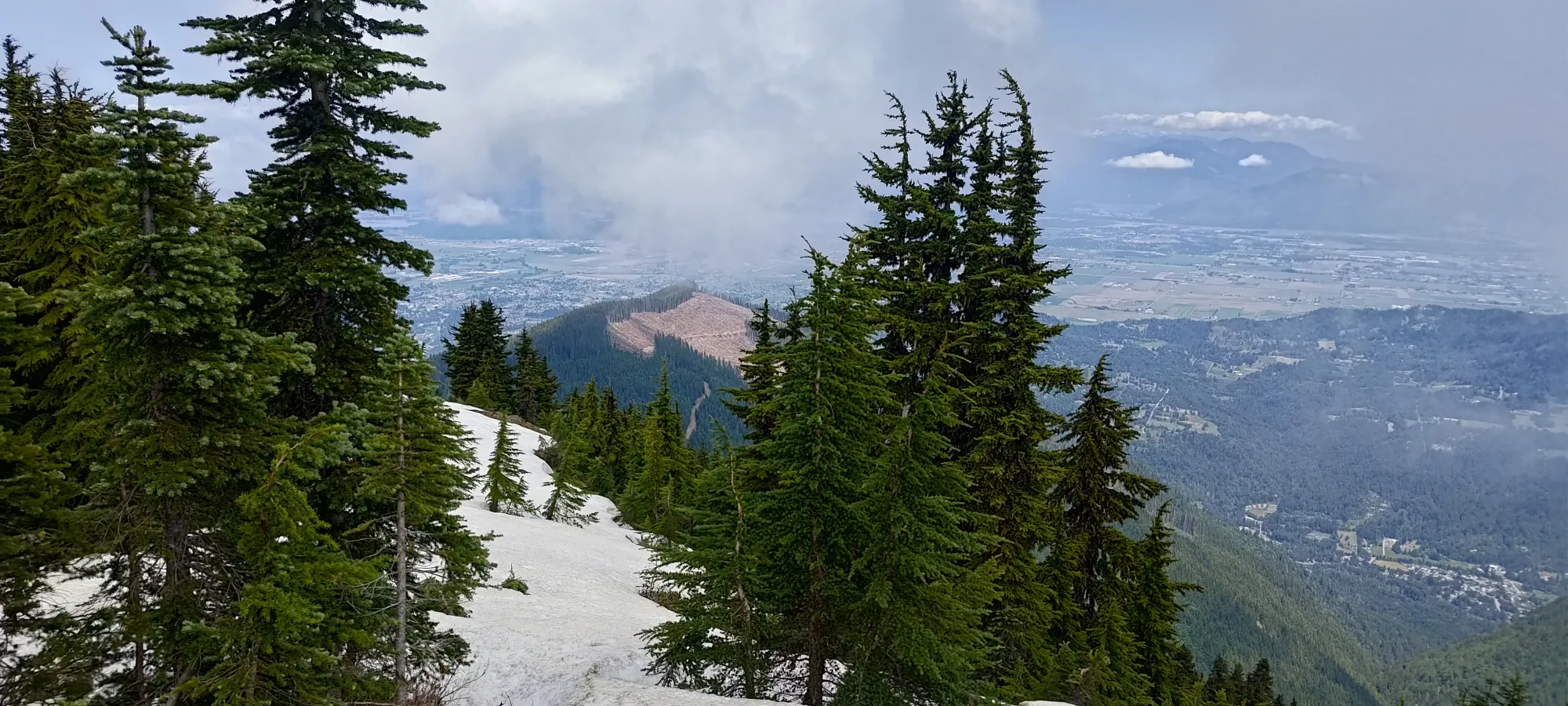
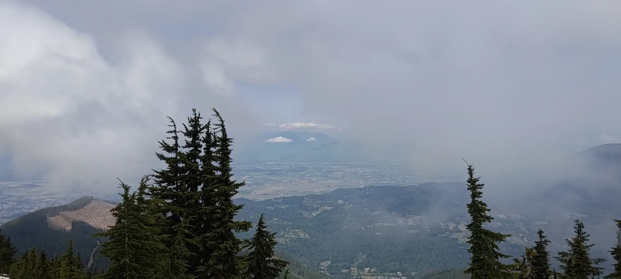
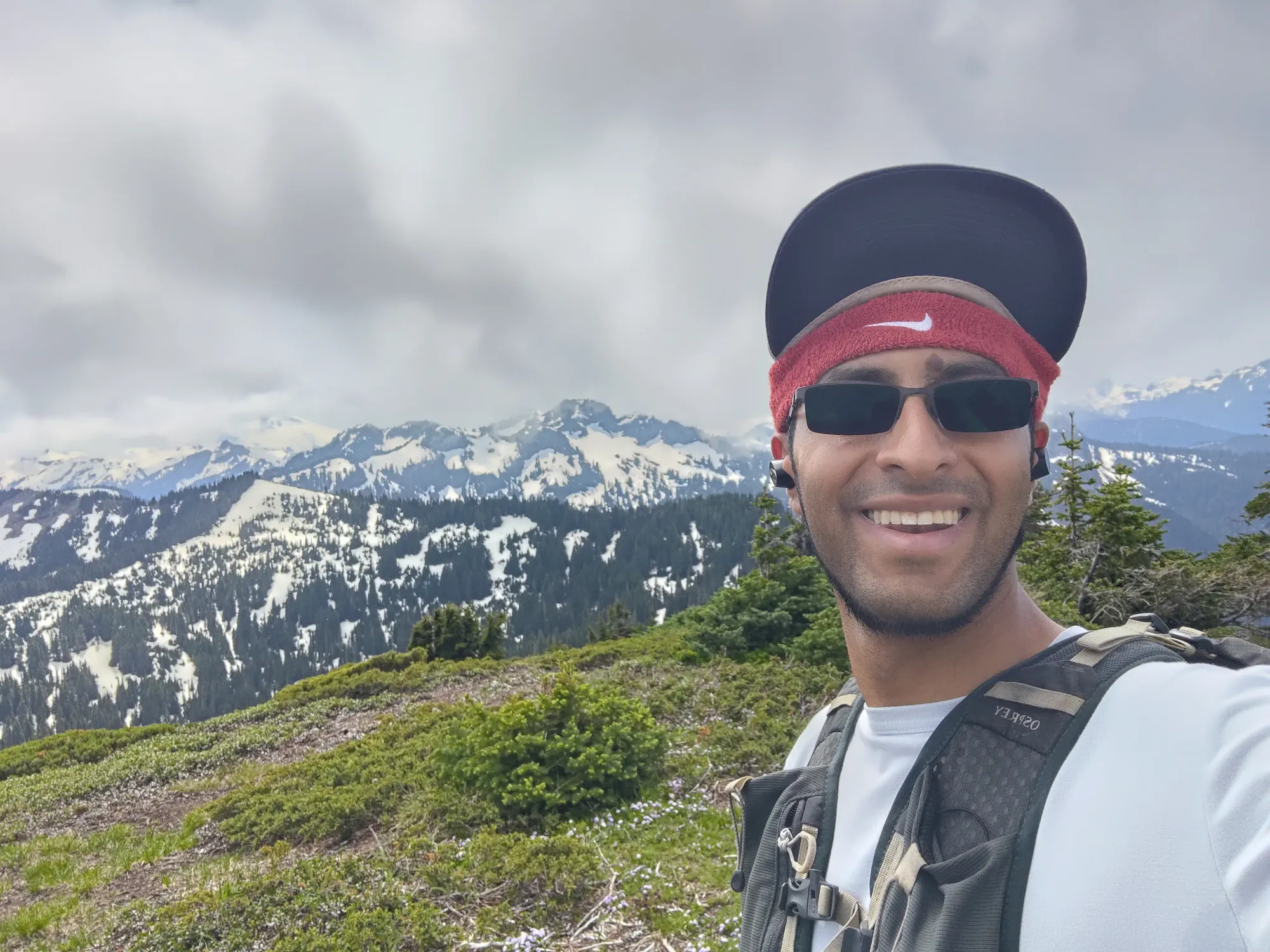
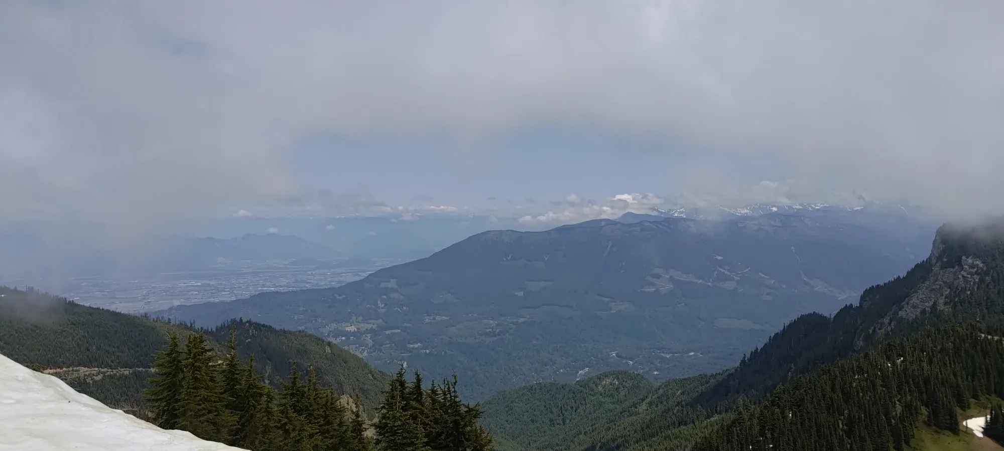
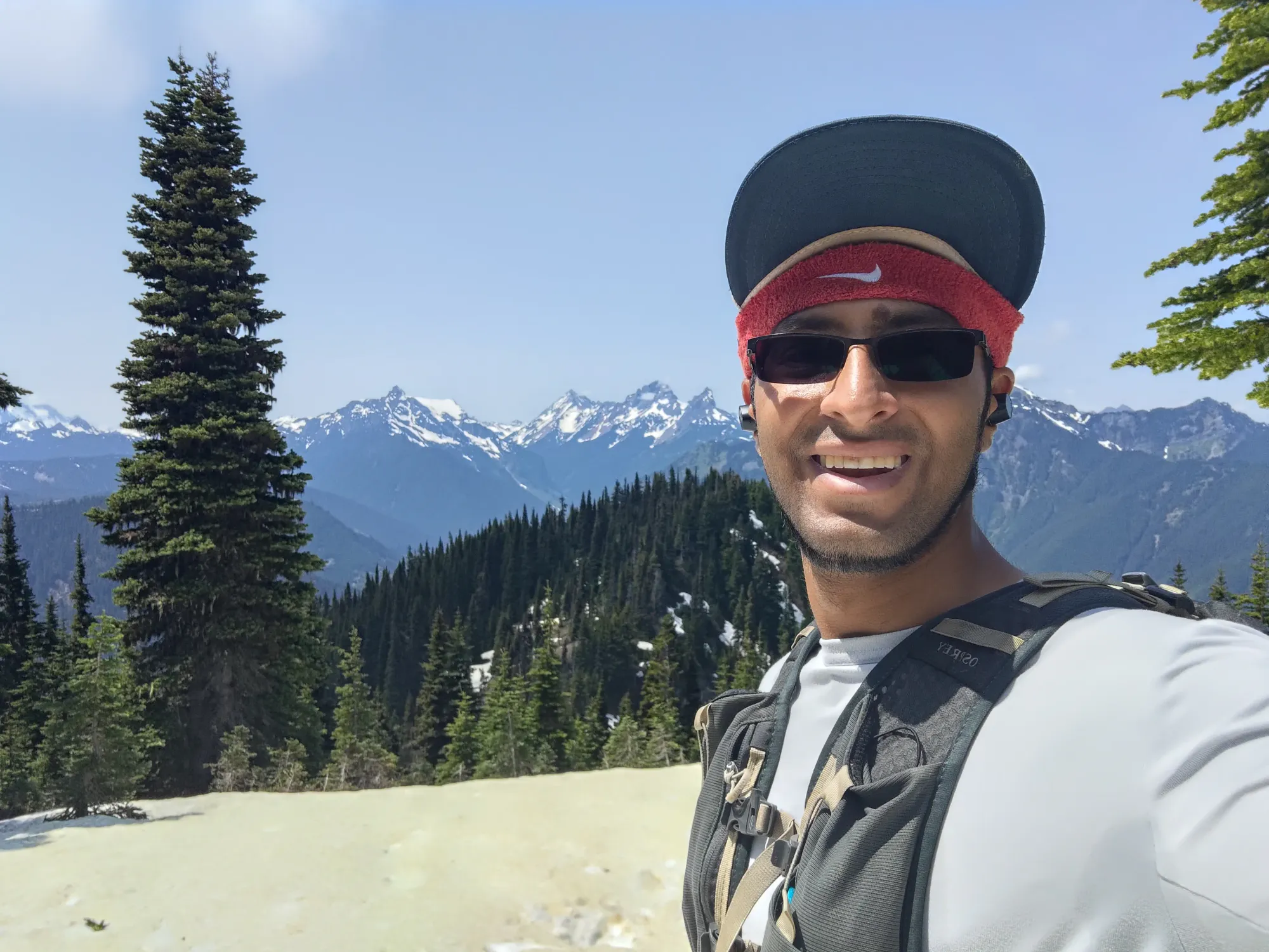
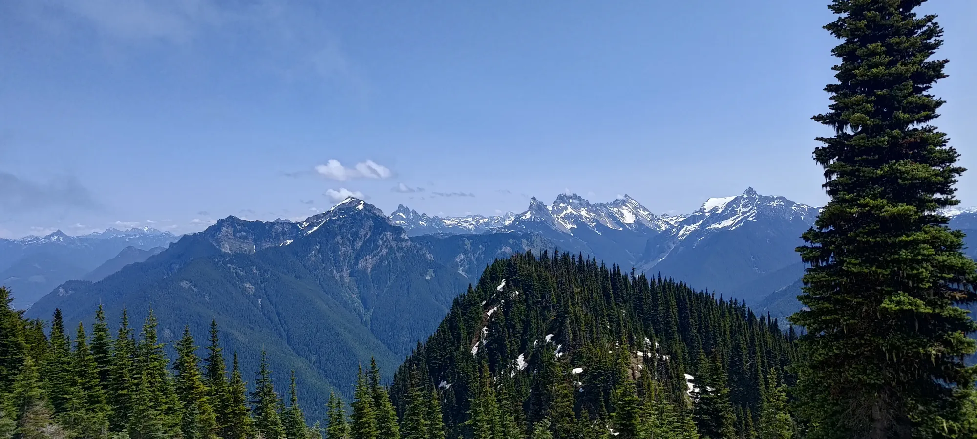
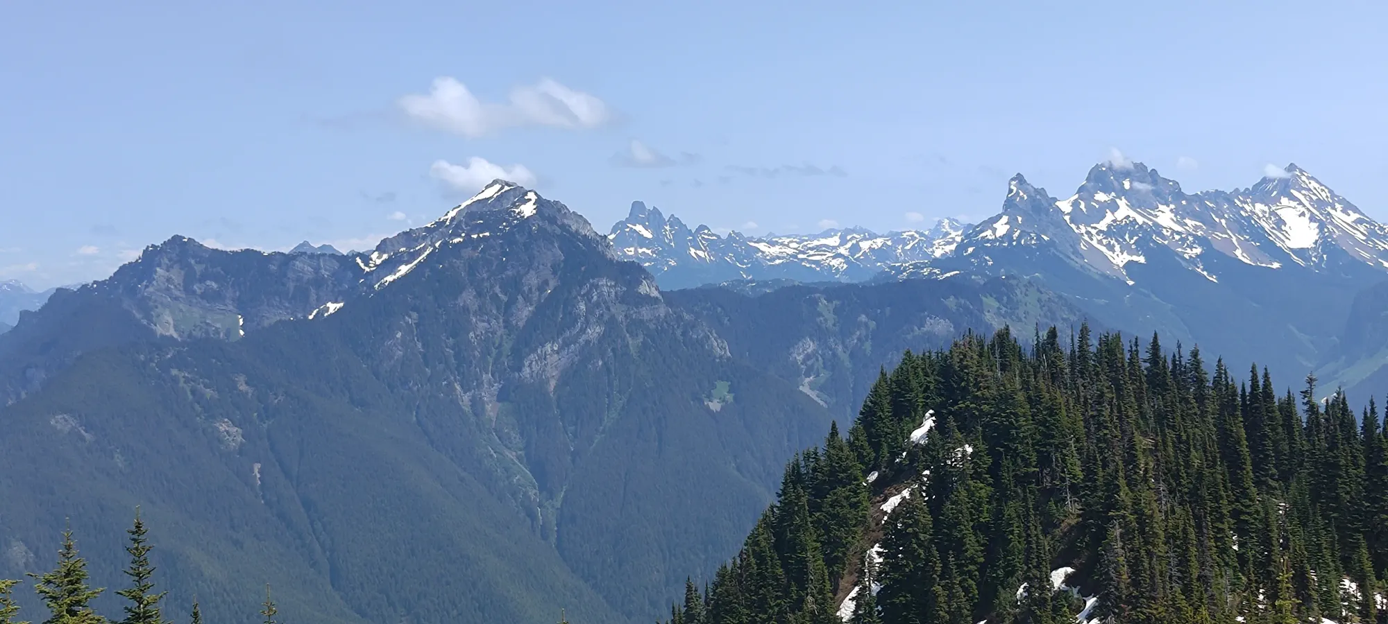
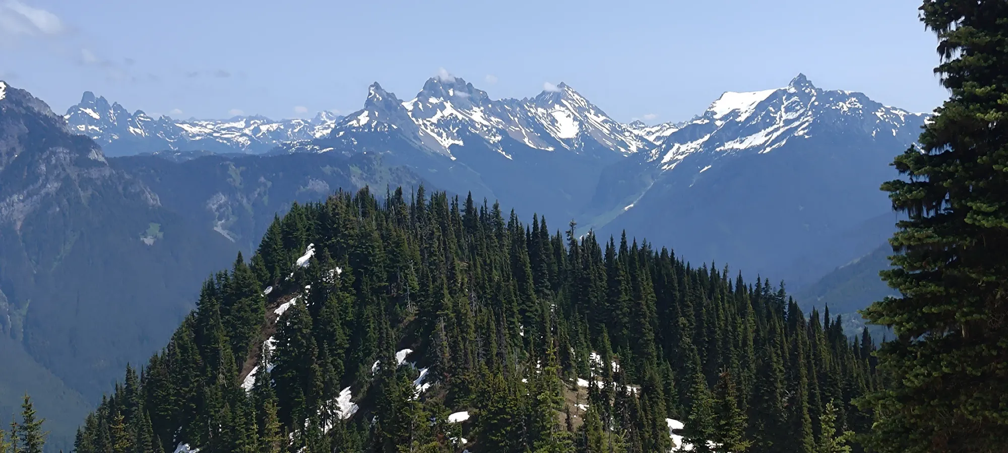
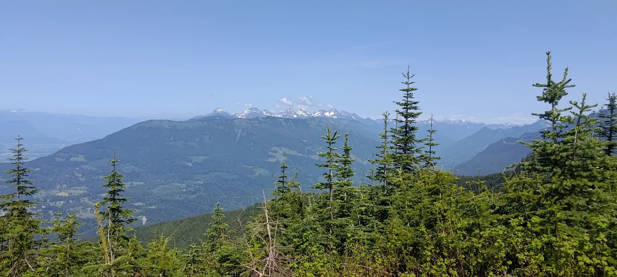
The trail did get a bit steep past there, but still very much in walking territory, so I didn't have any issues just in my trail runners. I crested onto the summit in just under half an hour from leaving the col between Windy Knob and Old Baldy, so once again a pretty efficient hike for this segment as well (pretty much the same length, even). I took a few more minutes on this peak to take pictures, as it had a better viewpoint, and also to message my dad, as I was getting more confident in my ability to estimate an ETA.

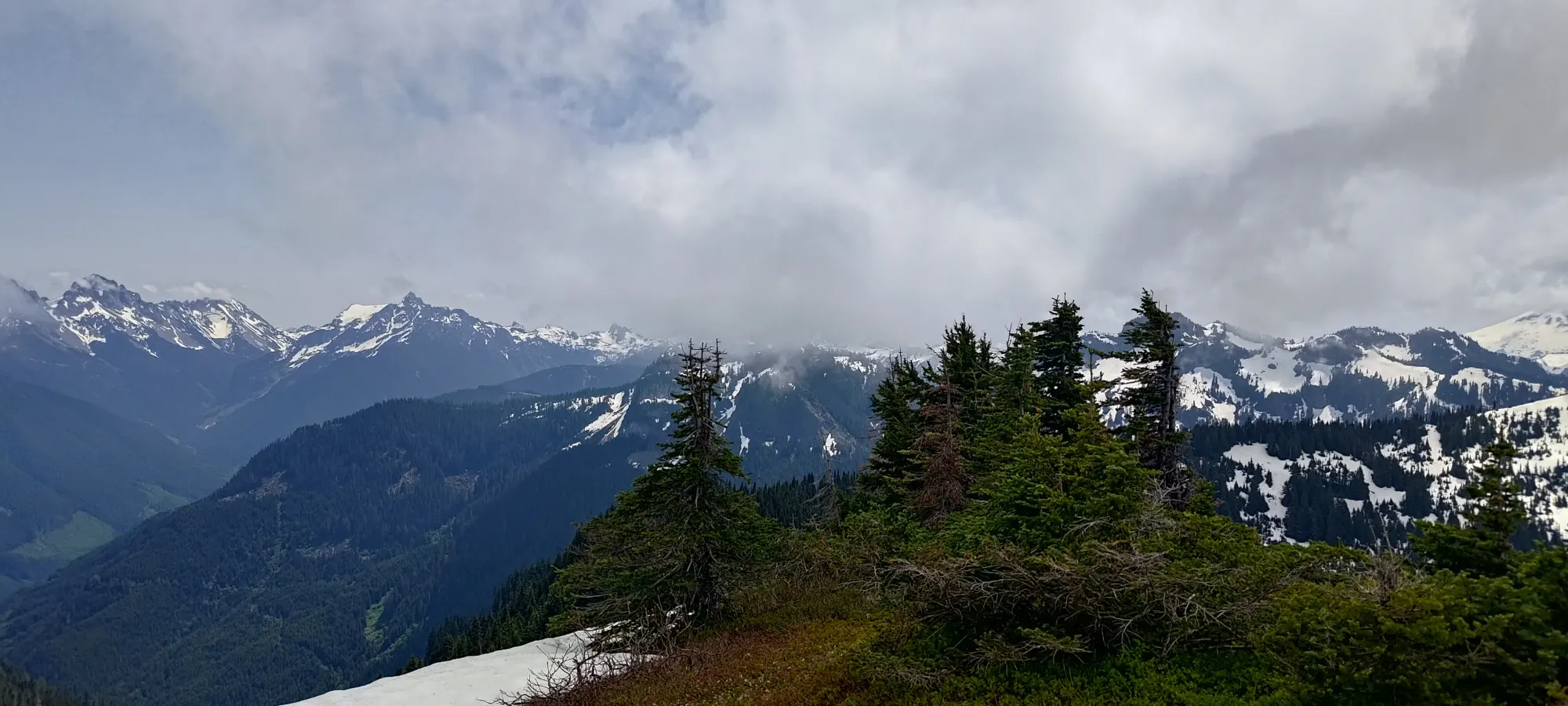

The summit break wasn't that long, though, so after a couple minutes of soaking the views in, I started making my way down from the summit, as there was still 1 peak left, and limited time to do it.
Church Mountain
Border Ranges, Chilliwack, BC
1714m
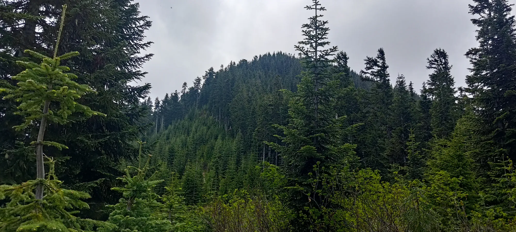
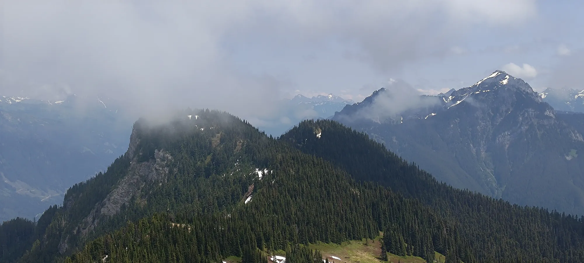
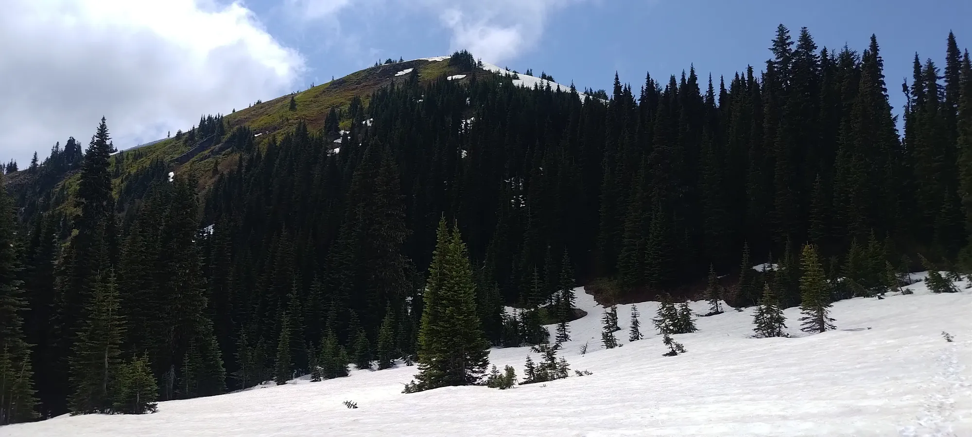
The descent off of Old Baldy was a bit steep+slippery without bothering to put my spikes on, but with poles, it was still manageable. I cut a diagonal over to the tracks I saw heading towards Church, and soon found myself on the north side of the ridge, with a decently clear path forwards.
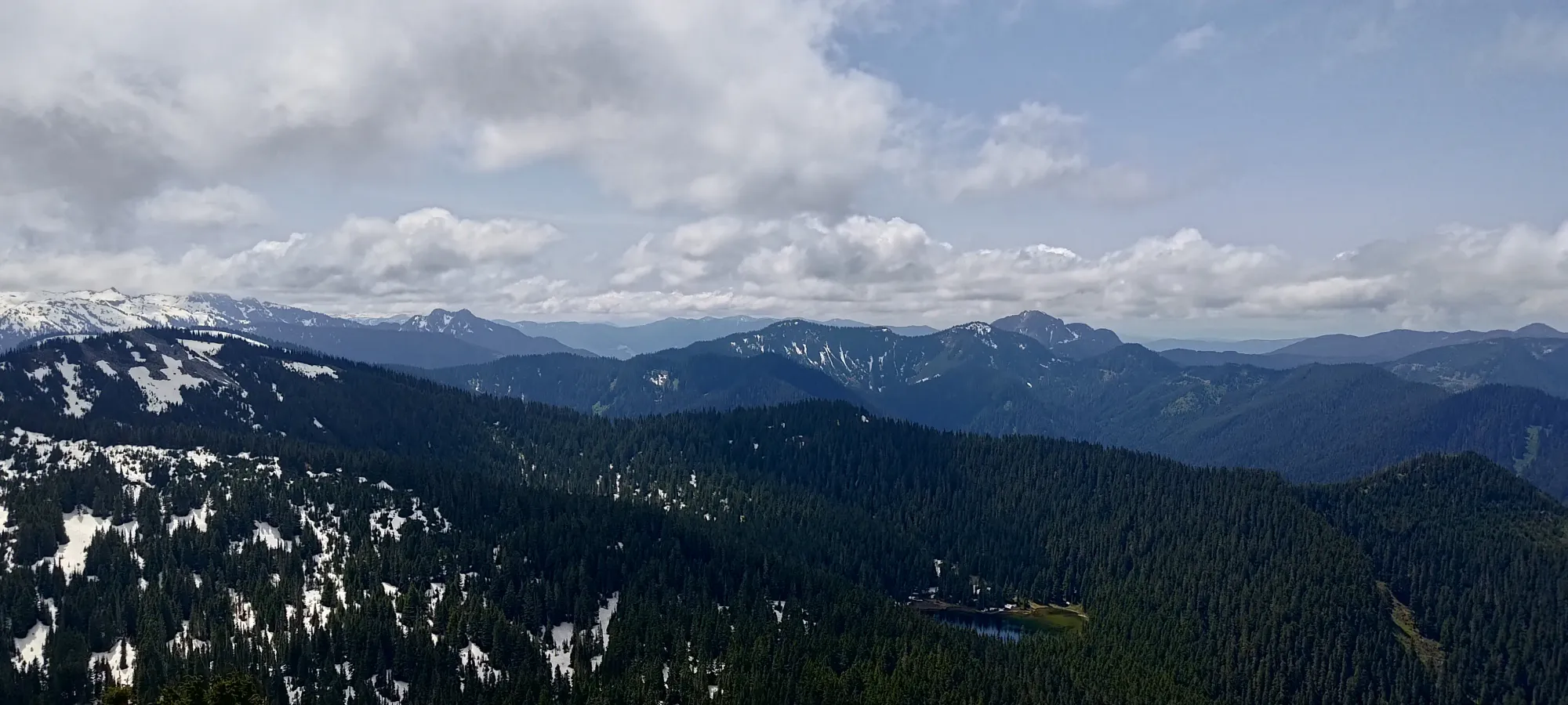
I lost my way a bit on the descent, and bushwhacked for a couple steps before realising that heading to skier's left was the right answer, and I was back on track, and down to the col 15 minutes after leaving the summit of Old Baldy. There, I found some very nice-looking meadows, but honestly not much trail. The terrain is not hard, by any means, but you do have to have the most basic of navigational skills to keep going the right way (just picking an easy line through the meadows and heading to the peak will suffice, this isn't exactly rugged).
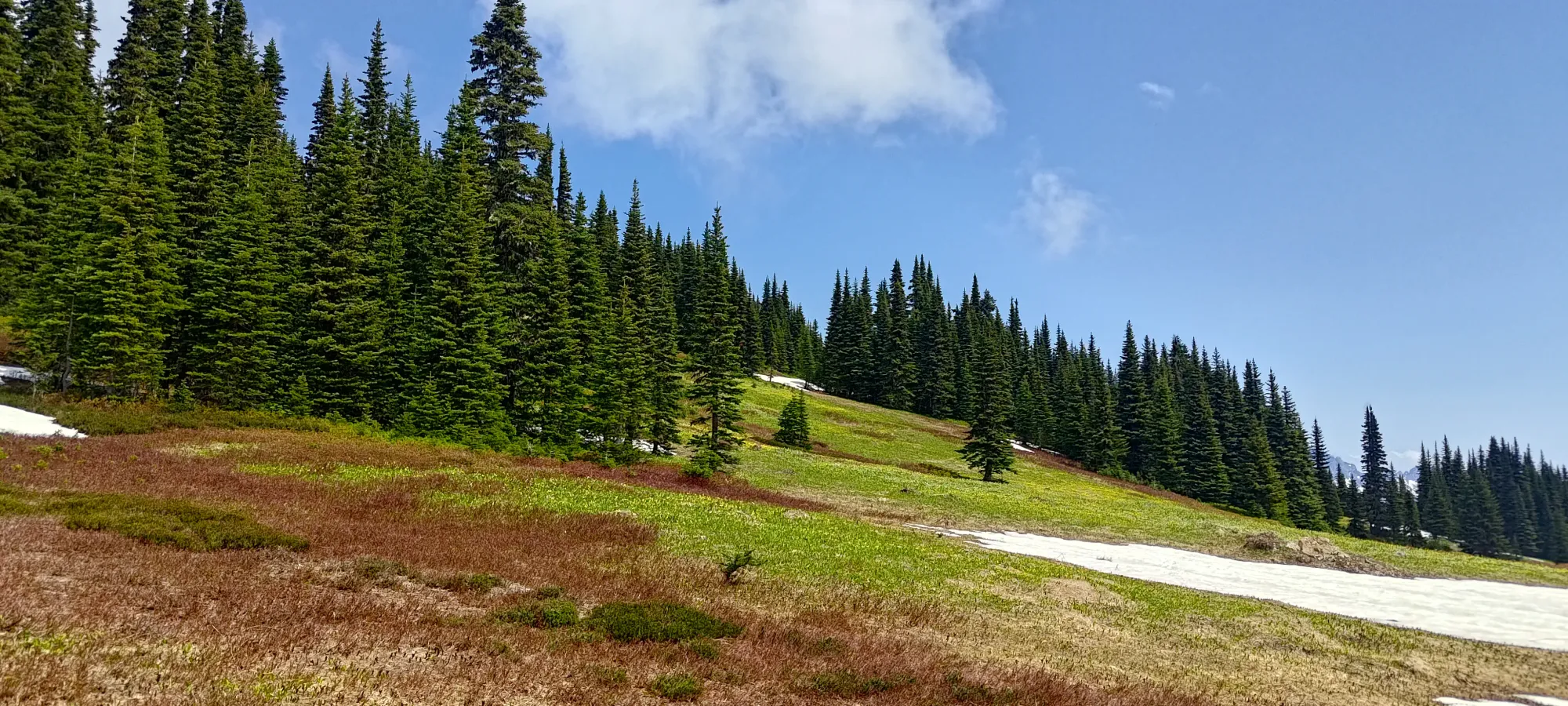
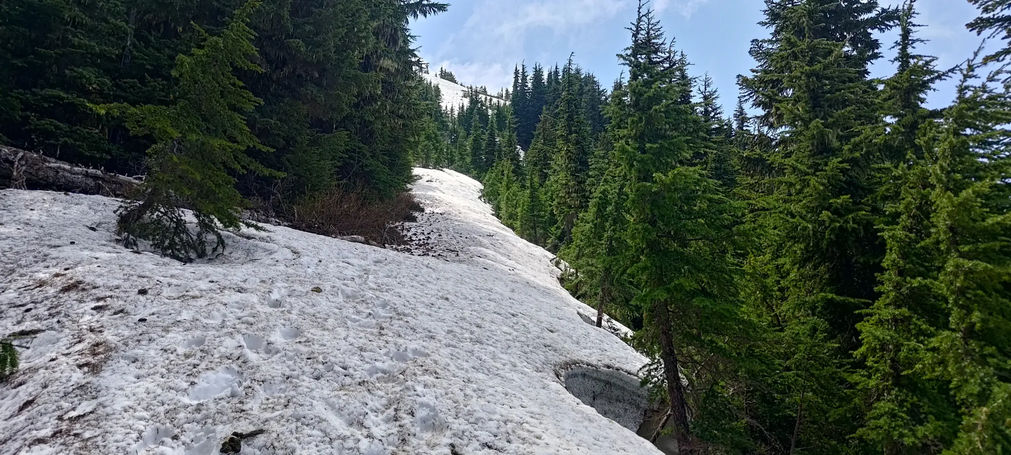
In the meadows, I couldn't spot a proper trail, so just wandered up the easy terrain for a while until the track I was roughly following seemed to dip into the forest, so I did as well. There were a few vague trails, and one that was occasionally flagged, but since things were well-spaced and easy, I just went up the general path of least resistance, and that worked out just fine.
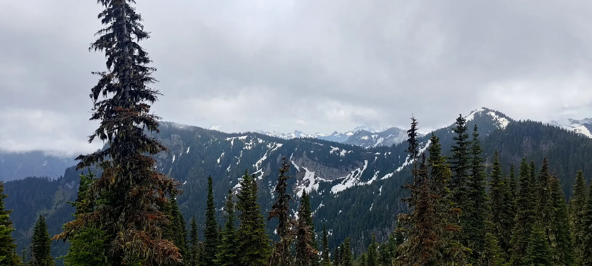
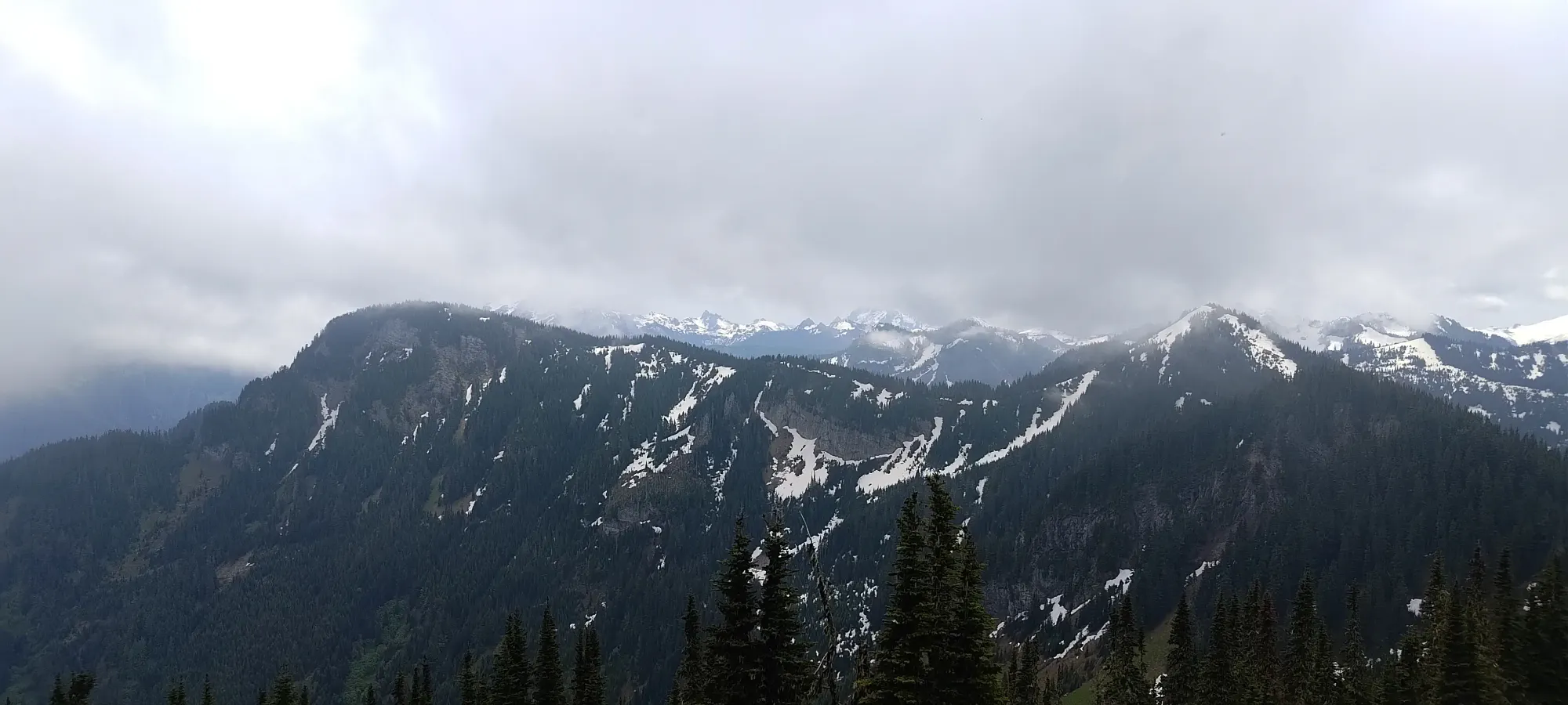
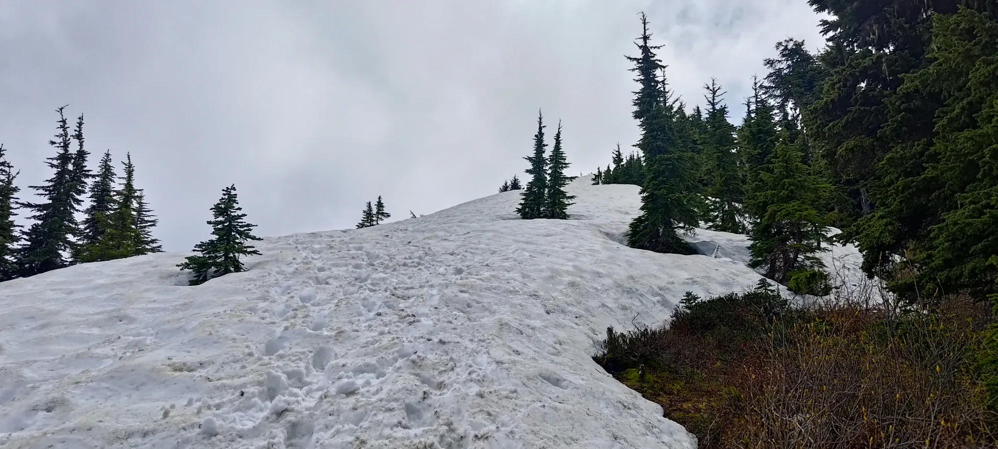
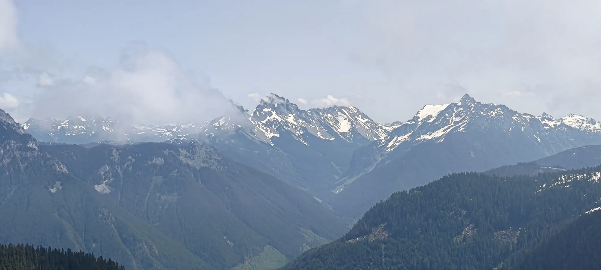
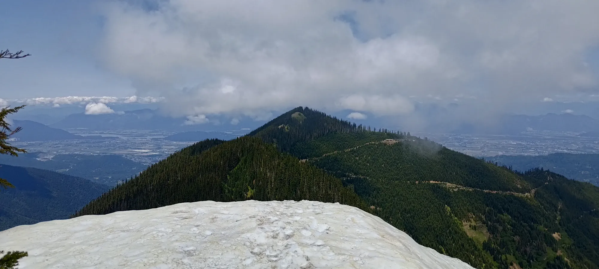
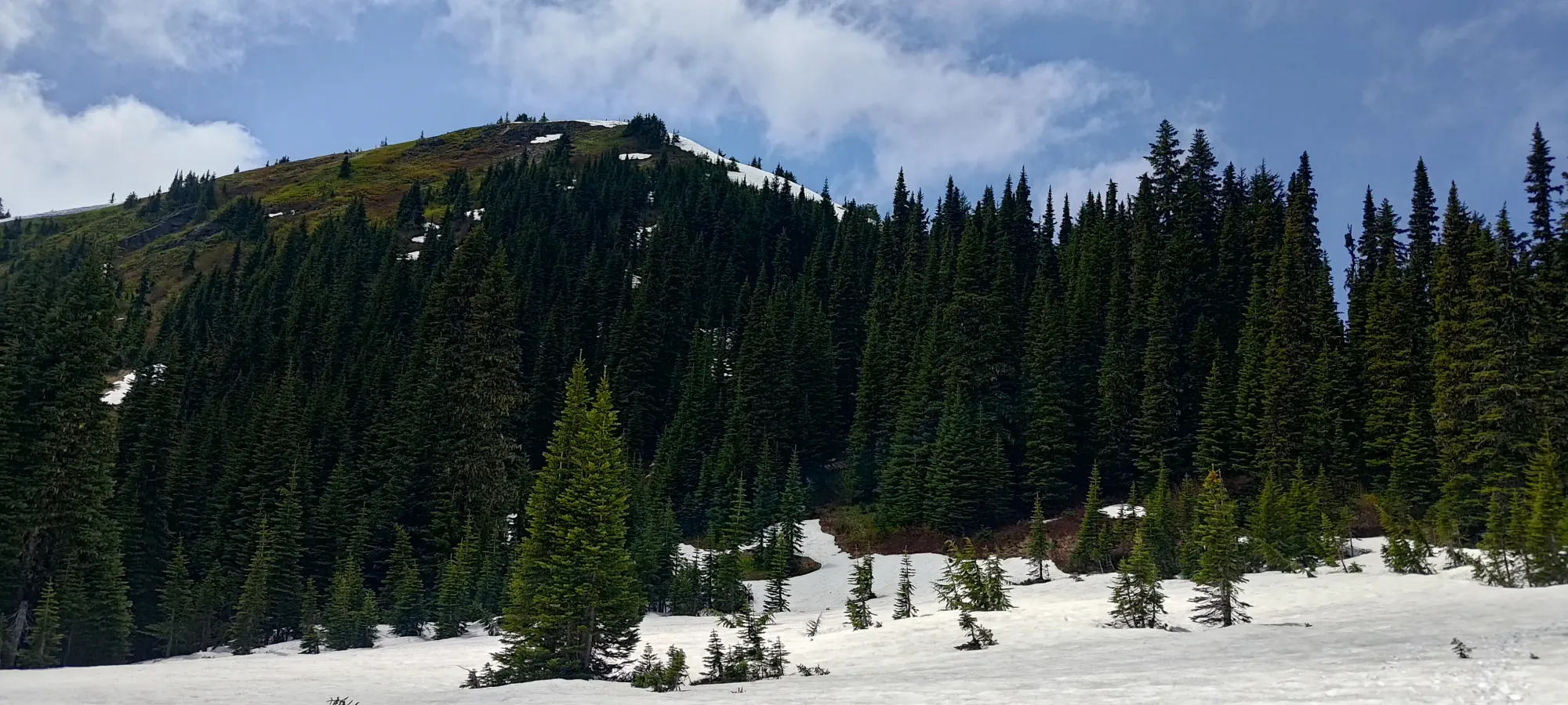
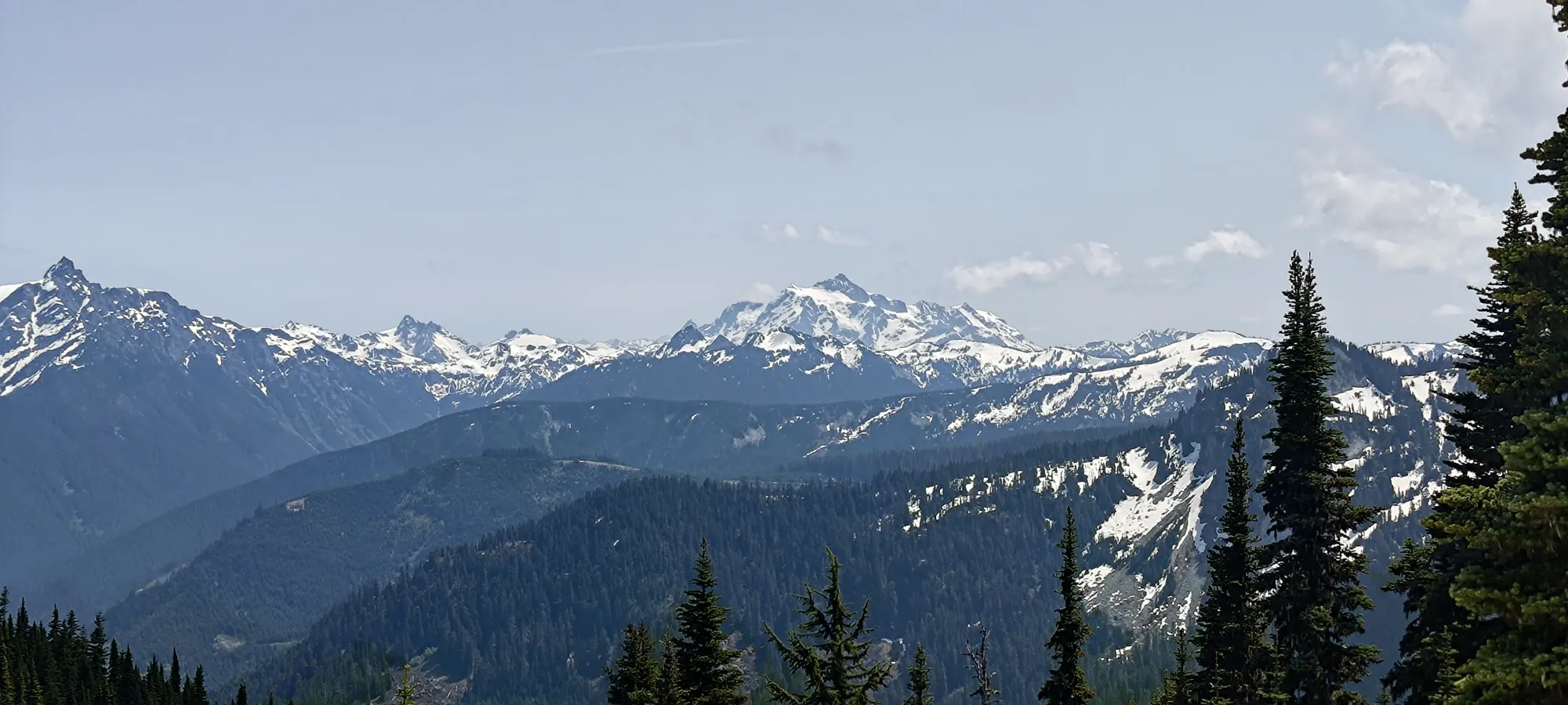
15 minutes from the col brought me up to the snowy summit (though only in flatter areas where it didn't meaningfully impact travel), where I wandered around a few different viewpoints to get the view on each side of the summit. Again, this one basically took half an hour from the last peak. Seems to be a theme here...
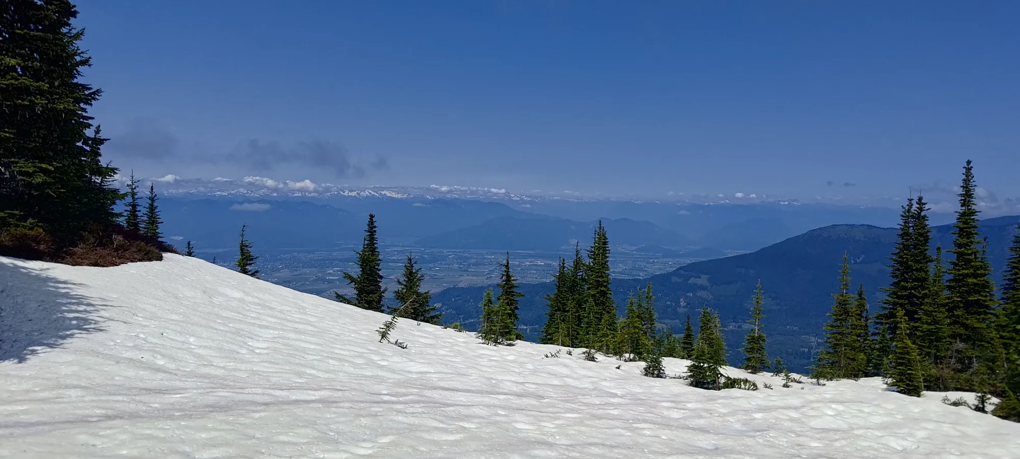
Retracing my steps wasn't a very precise endeavour coming off the summit, as I ended up more to skier's left than on my way up, but this just dumped me into the meadows a bit early, which wasn't a huge deal. There was a bit more sidehilling this way, but it wasn't so difficult as to be that much of an annoyance, even. Getting back up towards Old Baldy was pretty straightforward, especially since I was going up the snowy bits, not down. That took a bit less than half an hour unto itself.
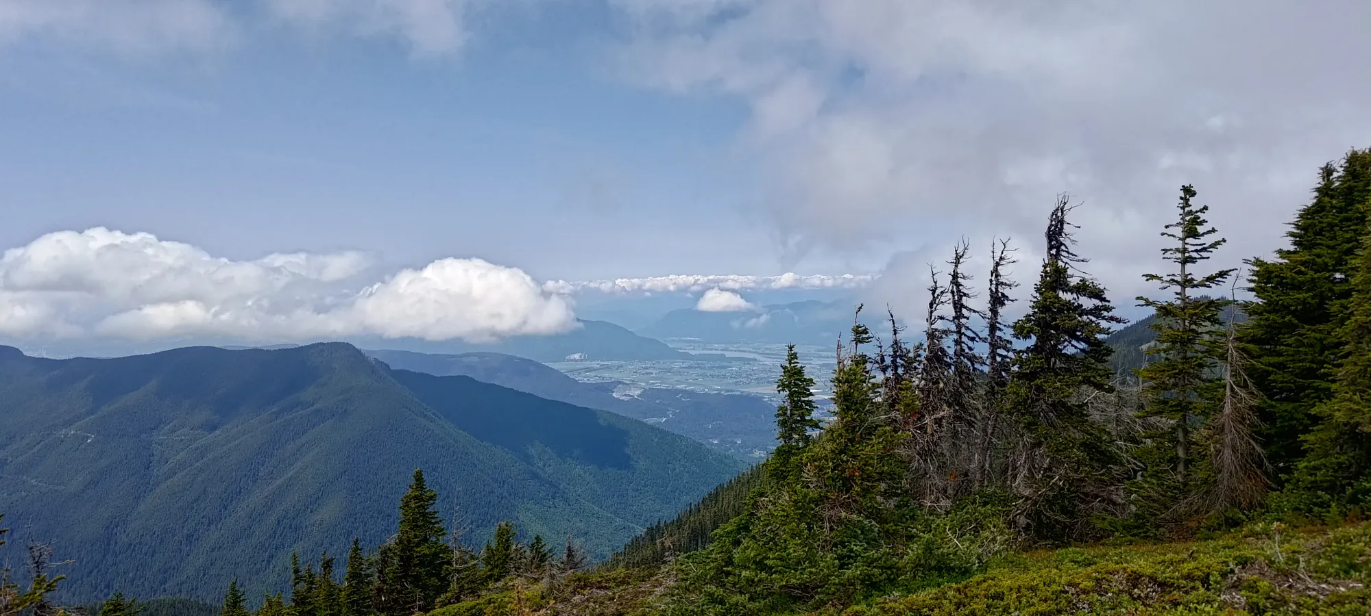
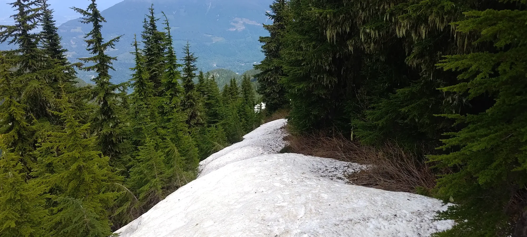
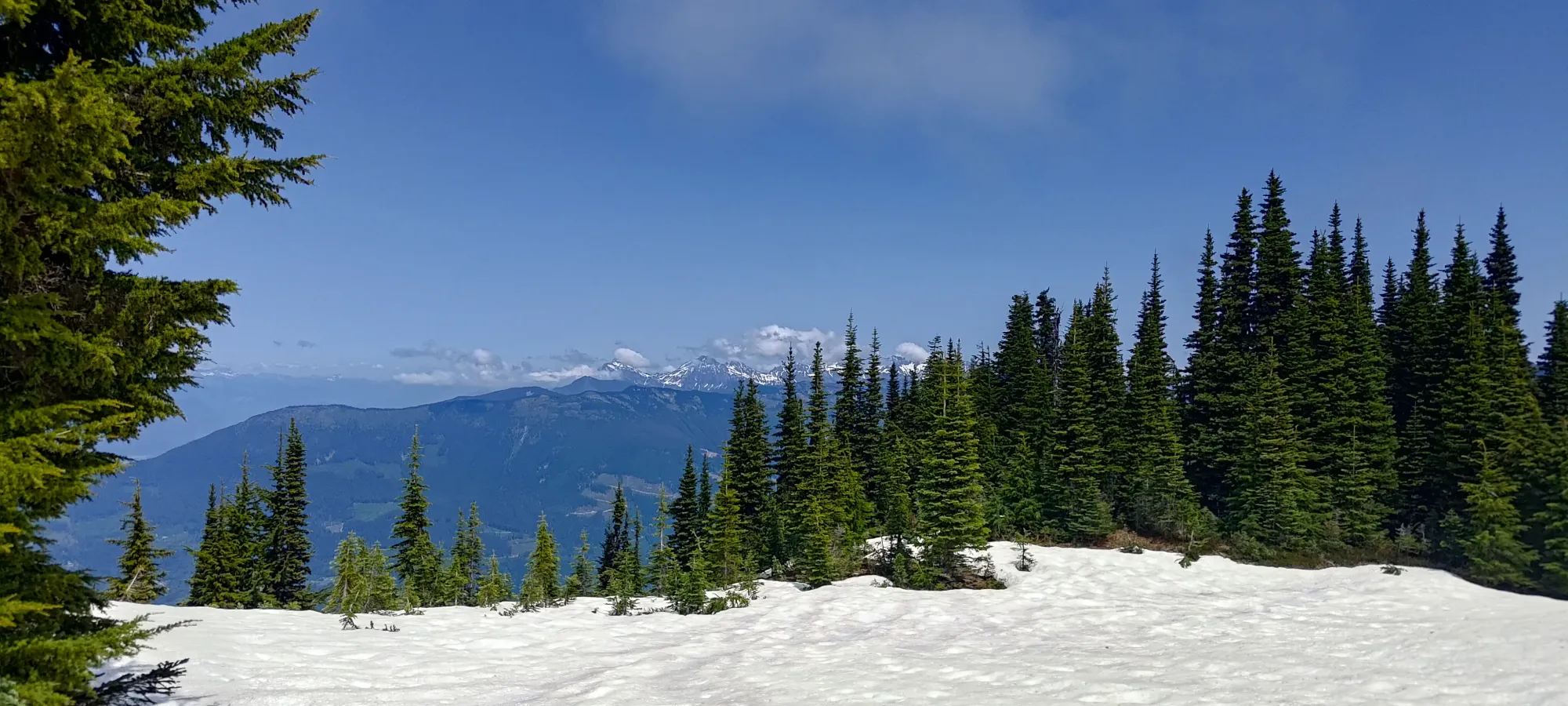
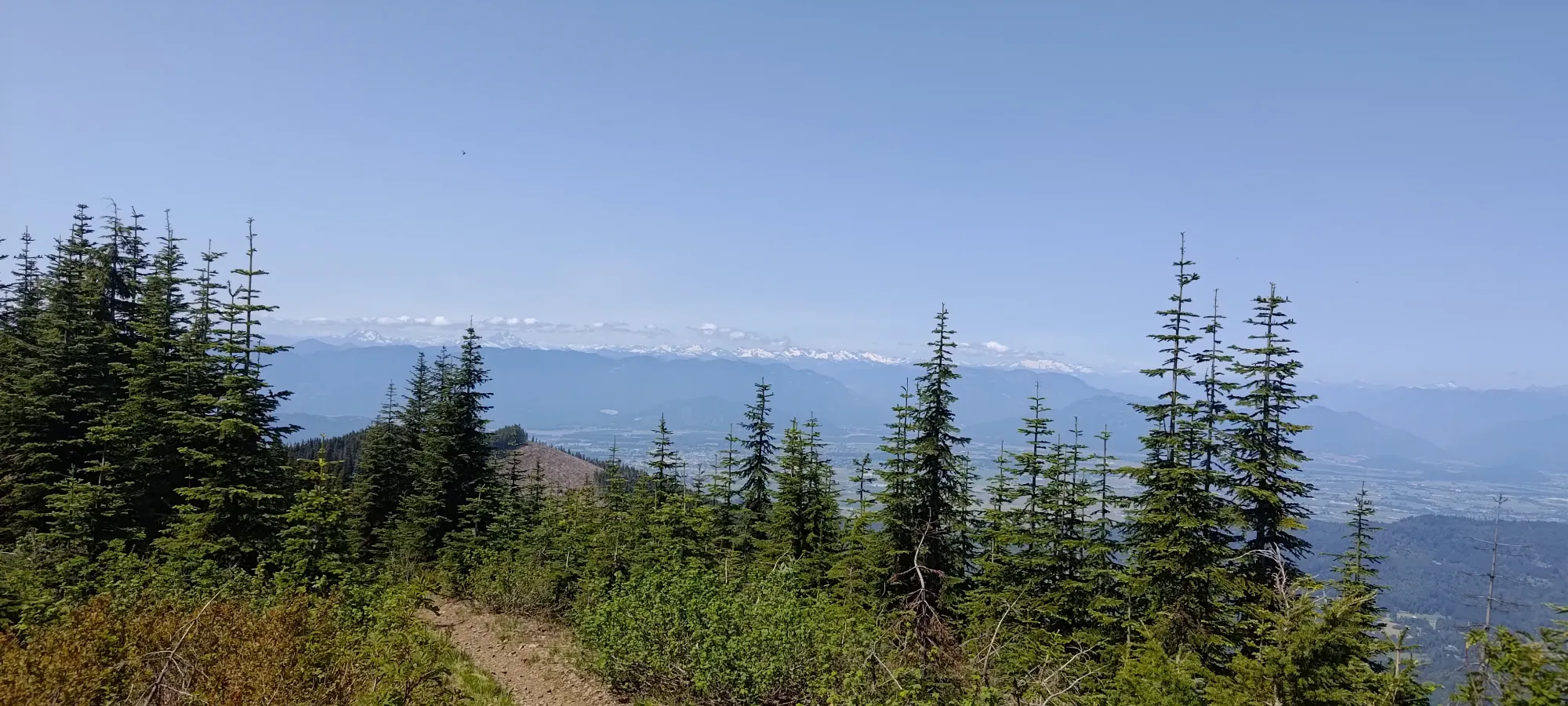
The rest of the way back from there was pretty smooth, other than few deadfall to navigate around on the trail, and the small amount of elevation gain going back through the undulations. Things were a bit faster since I didn't need to take the offshoots to the summits again, at least. I also stopped briefly at the viewpoint above the bikeable section of the trail to see what things were all about there, as well.
From the high point of the main trail below Old Baldy to the car took me another half hour even, making the round-trip time just about 2.5 hours. Not bad! If you bother running, you can make that even faster, as the trail is a pretty good one for that. I was happy to not be totally disgusting in case I didn't have time to shower before dinner (turns out I didn't, as traffic was horrible, so I just picked up some food on my way over, and we chilled at home, so good call there 😅).
Overall a pretty good day. 3 peaks, nice and easy, and I got back in time to not be a terrible child 😄. 10/10 would recommend. Given the time it takes, I totally understand adding Liumchen onto this hike, hopefully I don't regret not doing the same.
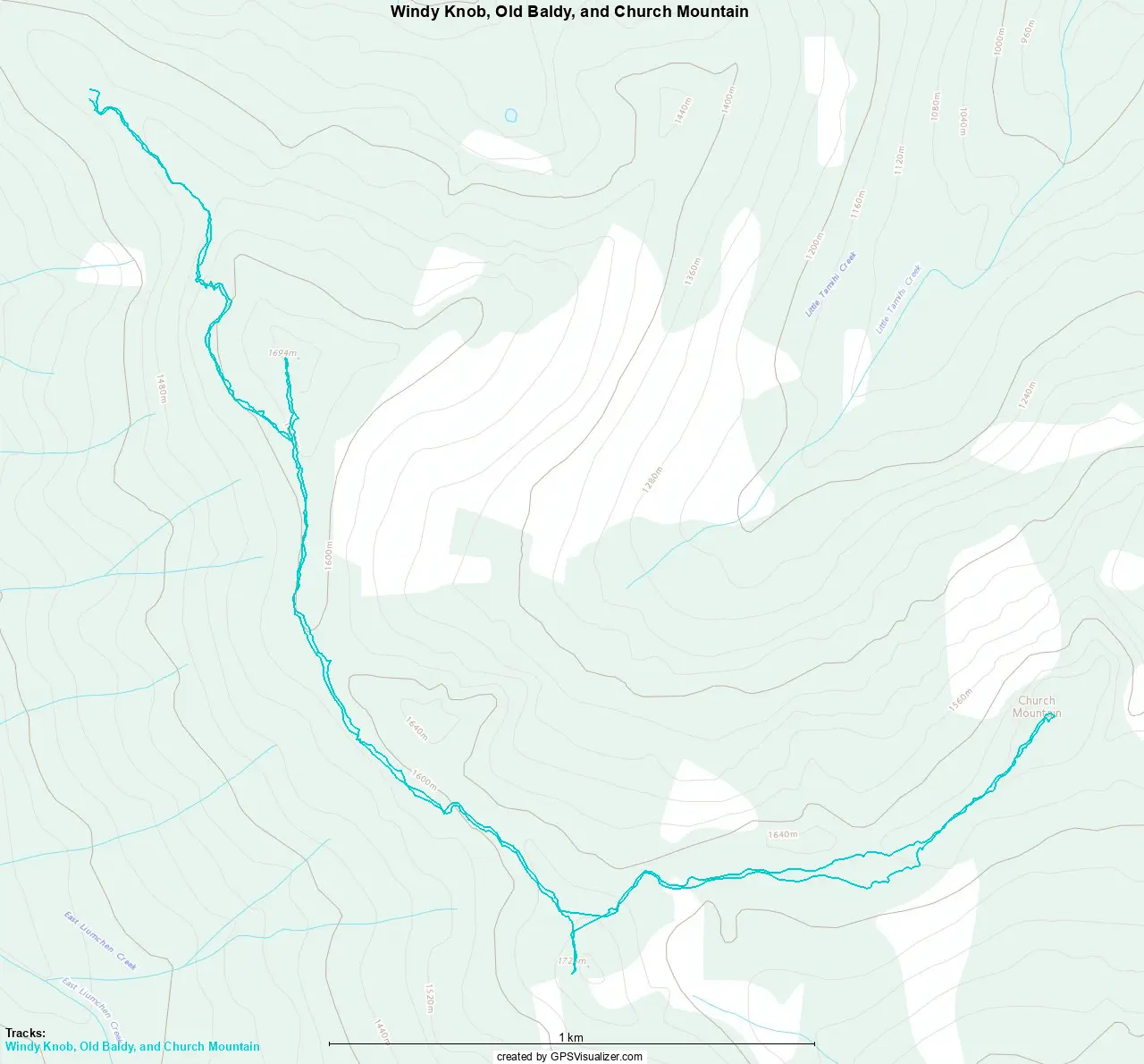
GPX Track + Map